Trails in United Kingdom
3,857 hiking trails, each with its route, climb, walking time and grade.
All trails, page 39 of 81
Easy · Trail
Lake Walk (Derryadd)
1.7 km · ↑ 0 m · 25 min
Easy · Trail
Lake Walk, Mount Stewart
1.2 km · ↑ 18 m · 20 min
Easy · Trail
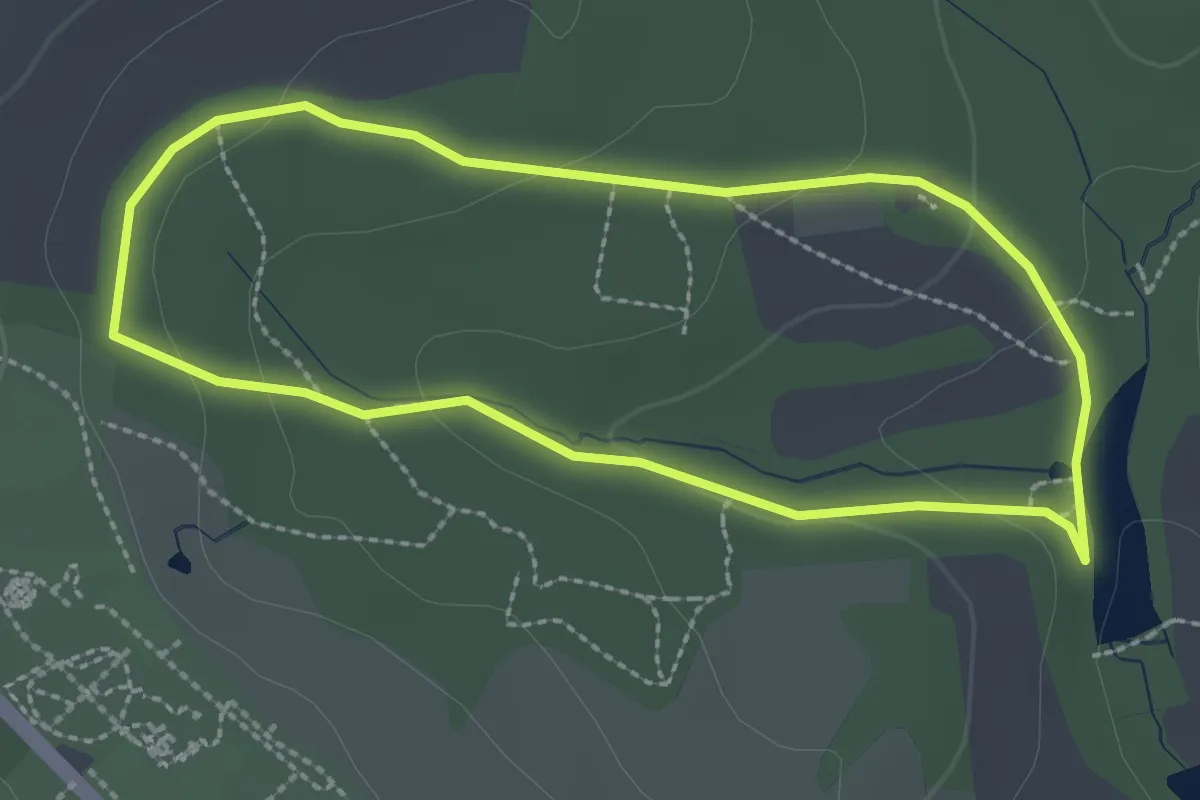
Lake Walk, Nymans
2.2 km · ↑ 56 m · 40 min
Easy · Summit
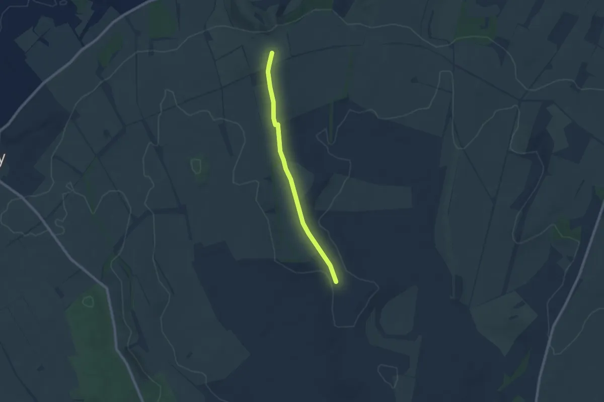
Lambourn Valley Way
5.9 km · ↑ 60 m · 1 h 32 min
Medium · Trail
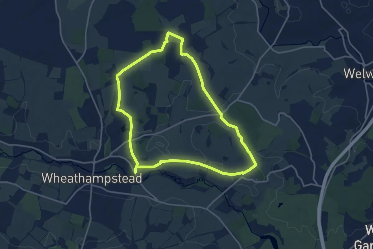
Lamer & Ayot St Lawrence
9.6 km · ↑ 80 m · 2 h 34 min
Easy · Trail
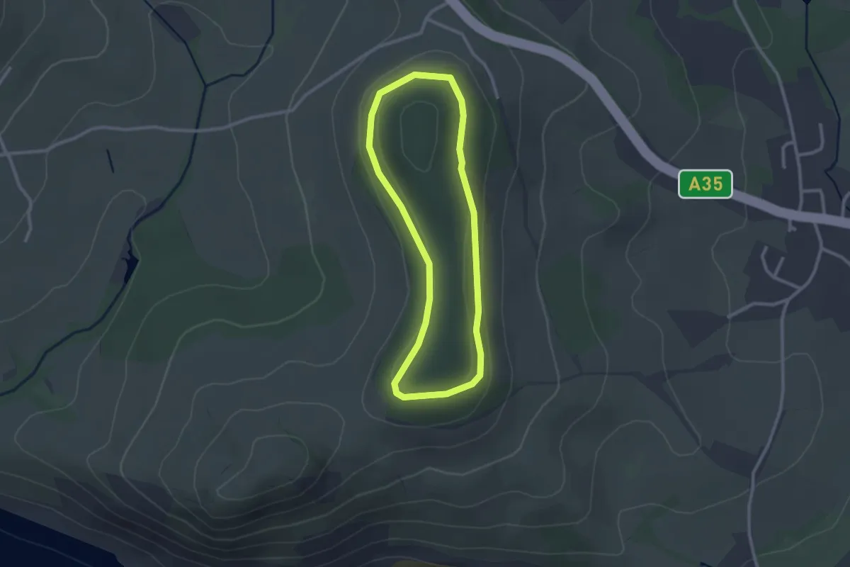
Langdon Hill walk, Golden Cap
2.1 km · ↑ 43 m · 38 min
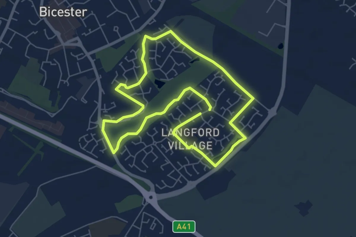
Easy · Trail
Langford Health Route
4.8 km · ↑ 4 m · 1 h 13 min
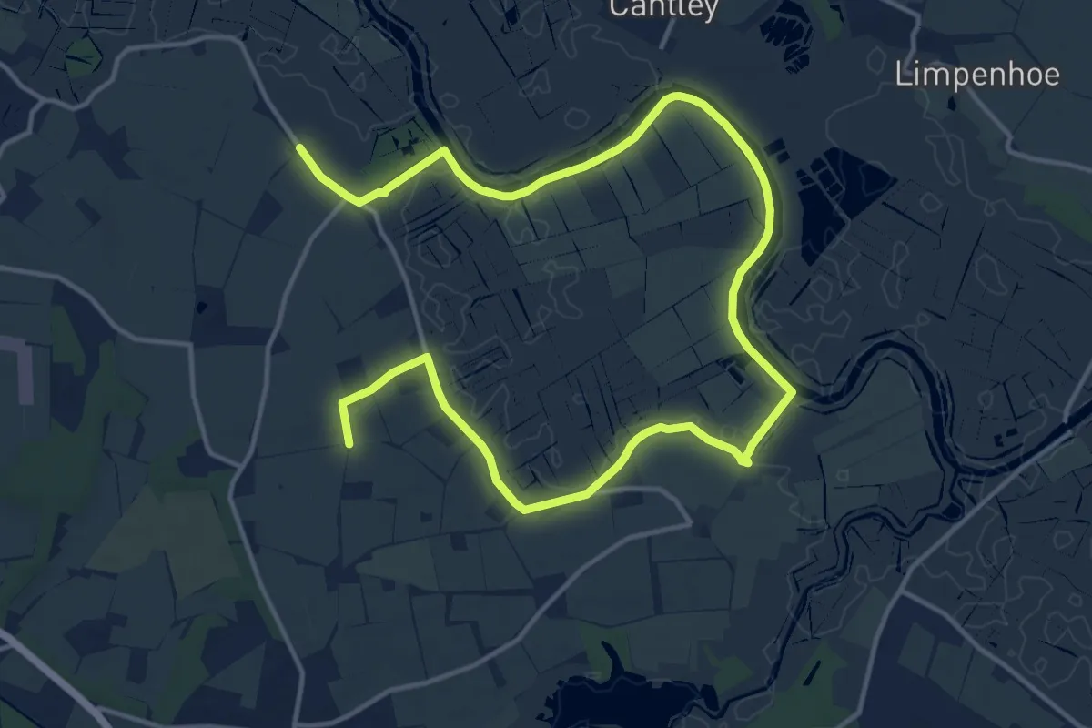
Medium · Trail
Langley with Hardley Circular
9.2 km · ↑ 20 m · 2 h 21 min
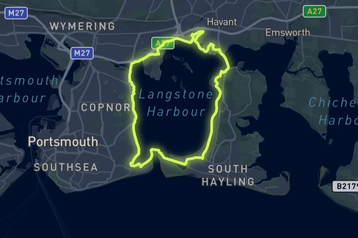
Demanding · Trail
Langstone Harbour Waterside Route
23.3 km · ↑ 9 m · 5 h 50 min
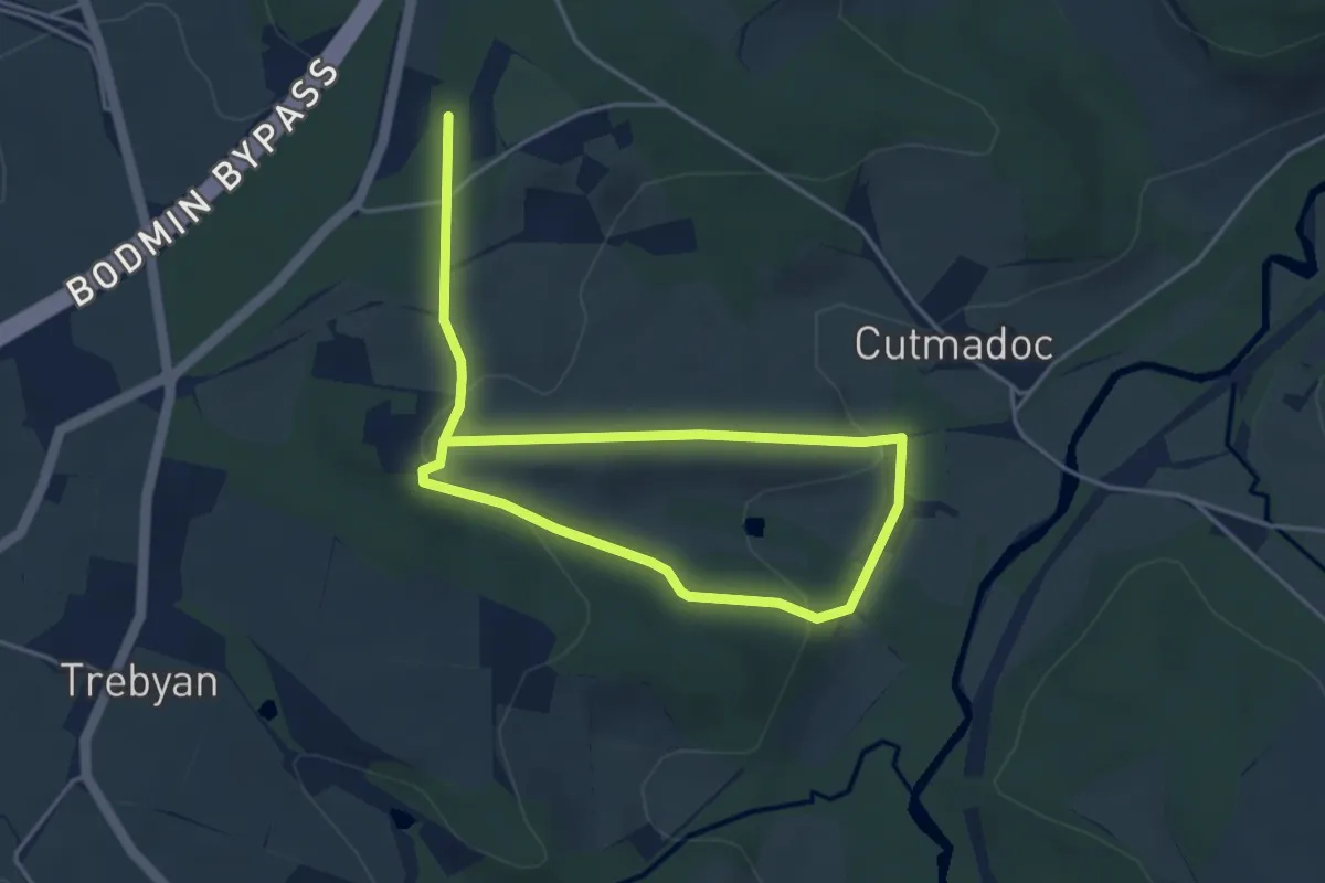
Easy · Trail
Lanhydrock Great Wood and Beech Avenue walk, Lanhydrock
3.0 km · ↑ 72 m · 56 min
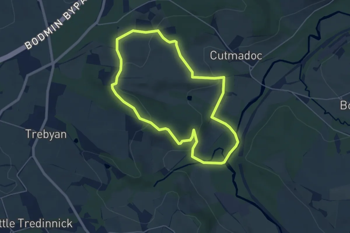
Easy · Trail
Lanhydrock Parkland walk, Lanhydrock
4.2 km · ↑ 117 m · 1 h 18 min
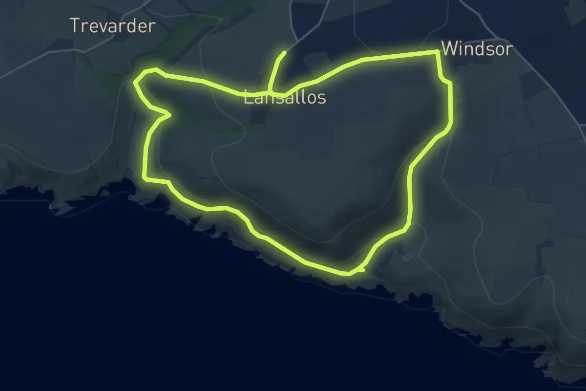
Medium · Trail
Lansallos coastal and woodland walk
9.2 km · ↑ 404 m · 3 h 3 min
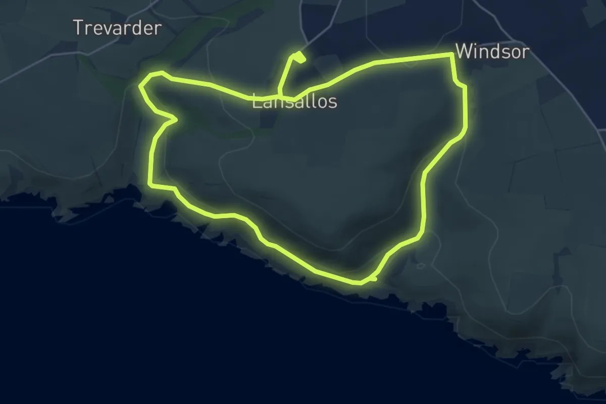
Easy · Trail
Lansallos coastal and woodland walk, Mid and SE Cornwall
4.8 km · ↑ 207 m · 1 h 38 min
Easy · Summit
Lantern Pike Circular (Ethel), High Peak
7.3 km · ↑ 221 m · 2 h 18 min
Easy · Trail
Lanthwaite Wood and Crummock Water Walk, North Lakes Outdoors
5.4 km · ↑ 84 m · 1 h 32 min
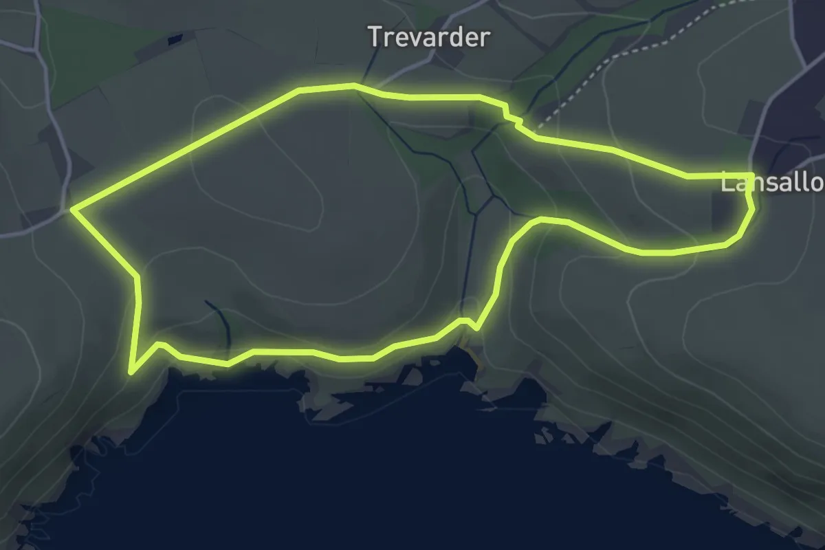
Easy · Trail
Lantivet and Lansallos walk, Mid and SE Cornwall
3.8 km · ↑ 155 m · 1 h 18 min
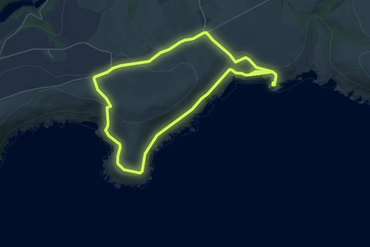
Easy · Trail
Lantivet Bay circular walk, Mid and SE Cornwall
4.6 km · ↑ 181 m · 1 h 33 min
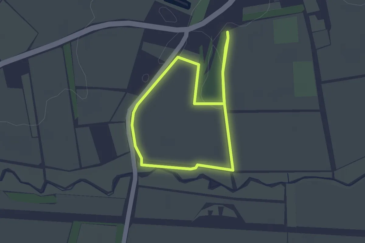
Easy · Trail
Lark Rise Farm Walks (Route 1 - Green Markers)
1.9 km · ↑ 4 m · 30 min
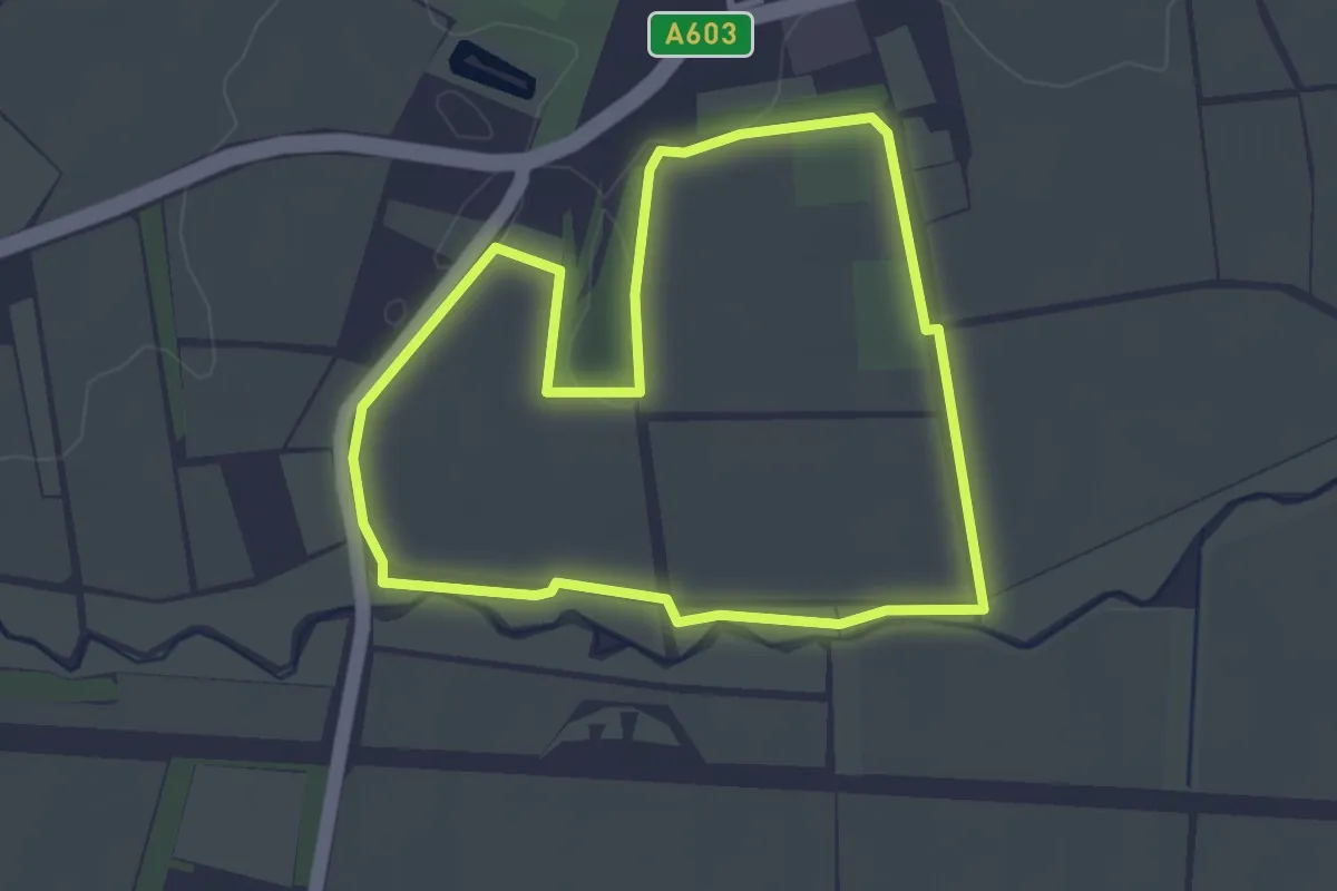
Easy · Trail
Lark Rise Farm Walks (Route 2 - Yellow Markers)
2.7 km · ↑ 4 m · 42 min
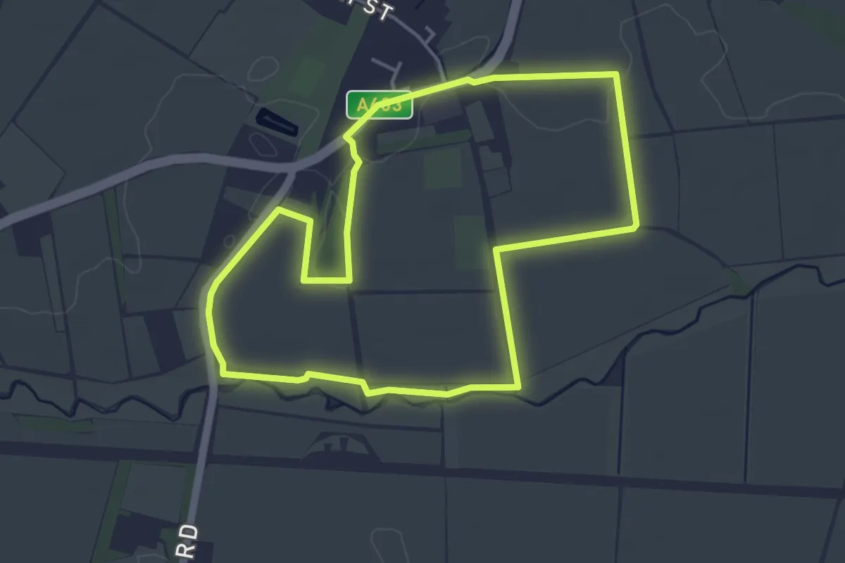
Easy · Trail
Lark Rise Farm Walks (Route 3 - Blue Markers)
3.7 km · ↑ 8 m · 56 min
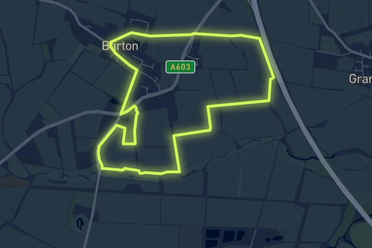
Easy · Trail
Lark Rise Farm Walks (Route 4 - Red Markers)
6.4 km · ↑ 8 m · 1 h 37 min
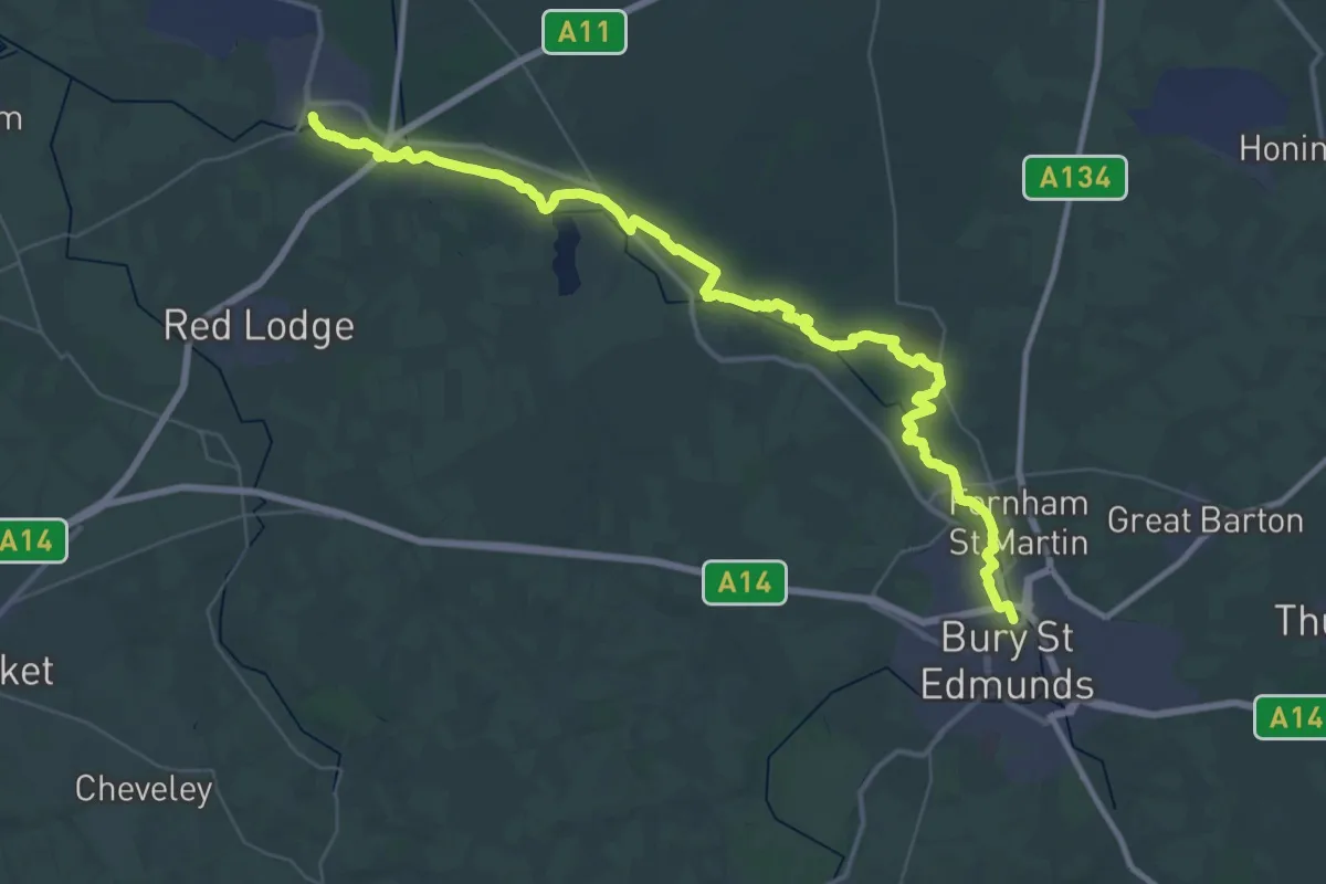
Demanding · Trail
Lark Valley Path
24.1 km · ↑ 47 m · 6 h 7 min
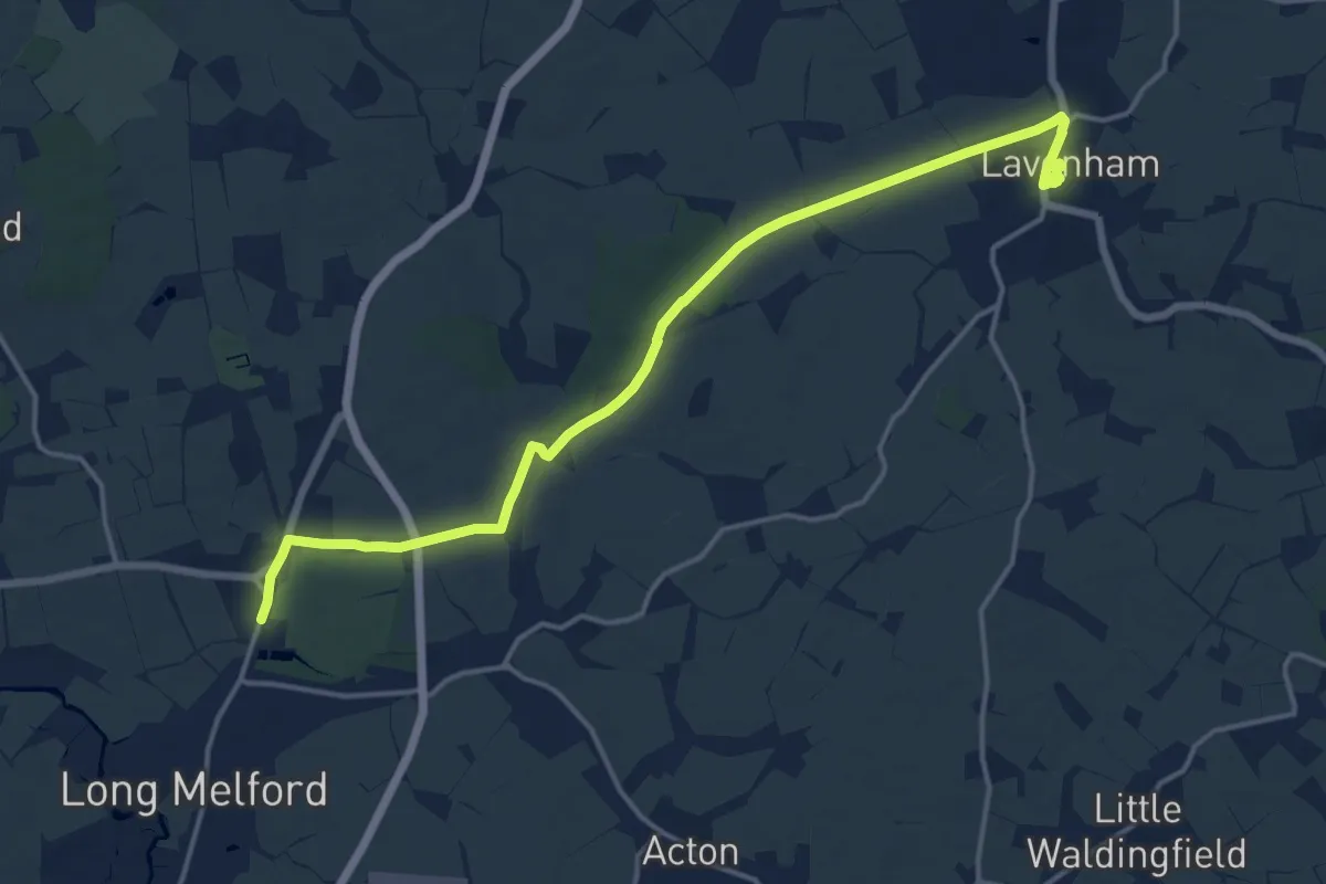
Medium · Trail
Lavenham to Long Melford Railway Walk, Lavenham Guildhall
15.5 km · ↑ 104 m · 3 h 53 min
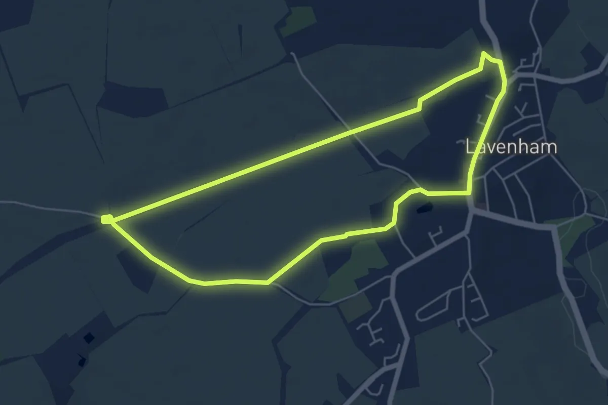
Easy · Trail
Lavenham Woodland Walk, Lavenham Guildhall
4.3 km · ↑ 27 m · 1 h 8 min
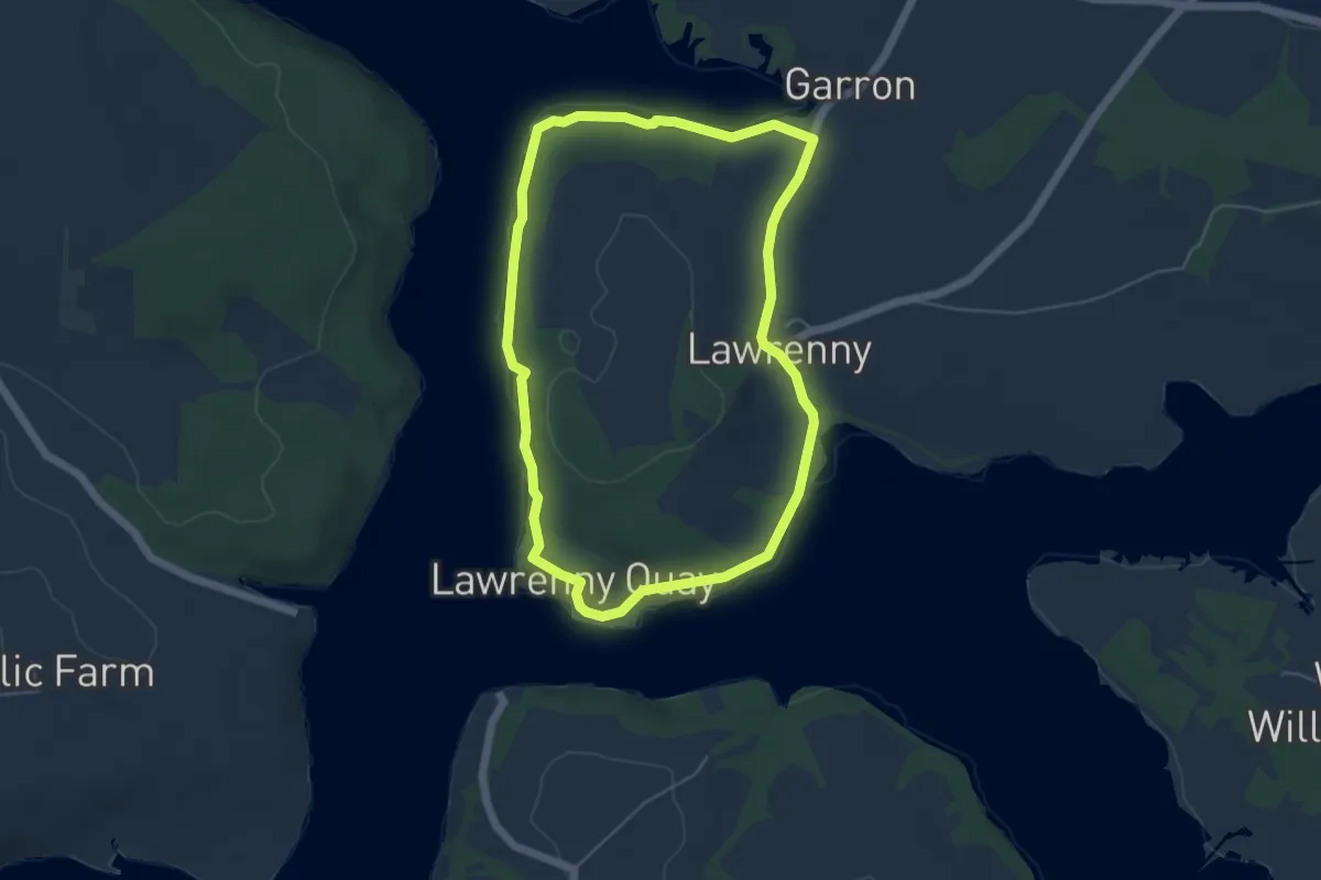
Easy · Trail
Lawrenny Walk, Pembroke
4.5 km · ↑ 64 m · 1 h 16 min
Easy · Trail
Leader Water Path
7.8 km · ↑ 85 m · 2 h 1 min
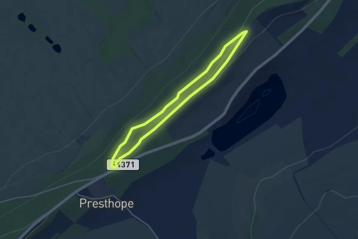
Easy · Trail
Lea Quarry Walk, Wenlock Edge
2.7 km · ↑ 46 m · 47 min
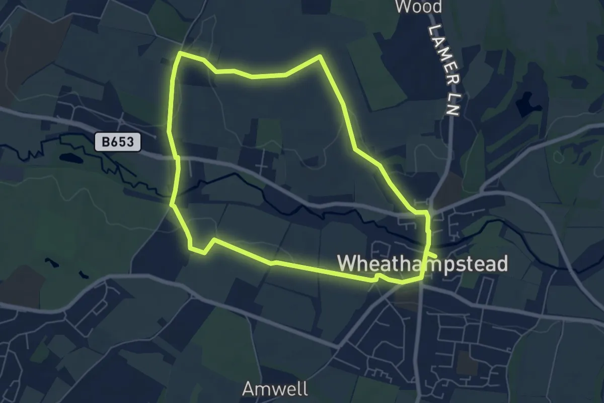
Easy · Trail
Lea Valley Circle
5.5 km · ↑ 77 m · 1 h 33 min
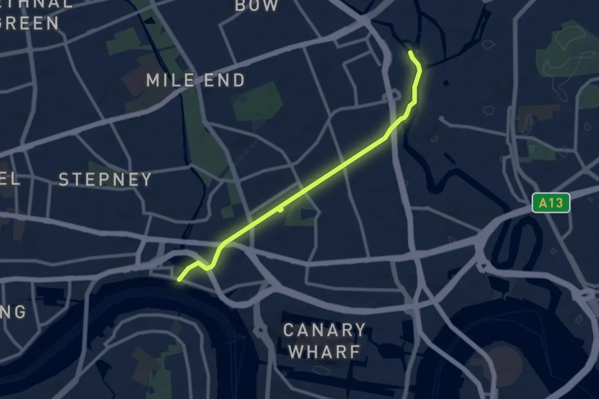
Easy · Trail
Lea Valley Walk
6.3 km · ↑ 0 m · 1 h 29 min
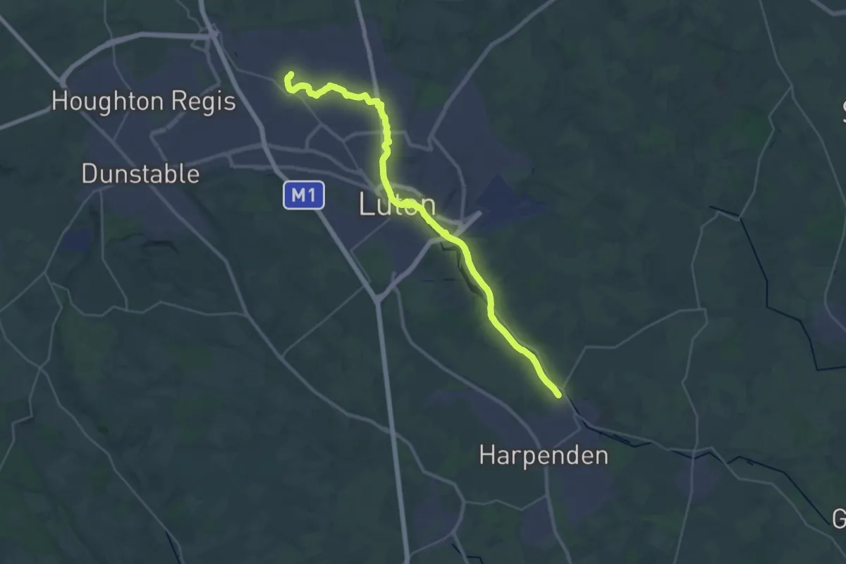
Demanding · Trail
Lea Valley Walk
29.8 km · ↑ 91 m · 7 h 14 min
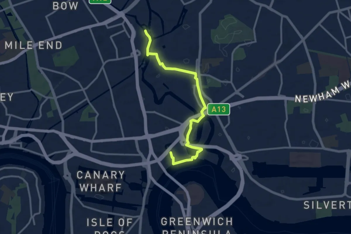
Easy · Trail
Lea Valley Walk
7.9 km · ↑ 0 m · 1 h 52 min
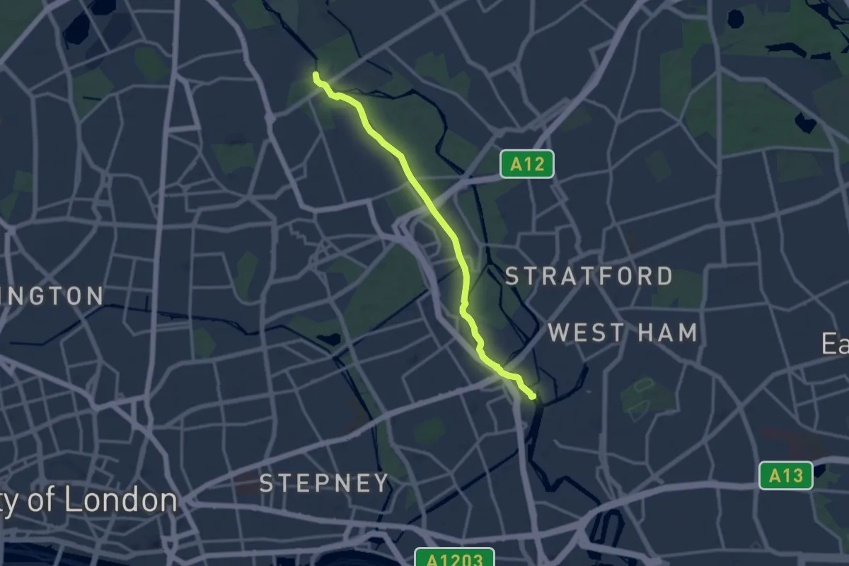
Medium · Trail
Lea Valley Walk
10.6 km · ↑ 0 m · 2 h 30 min
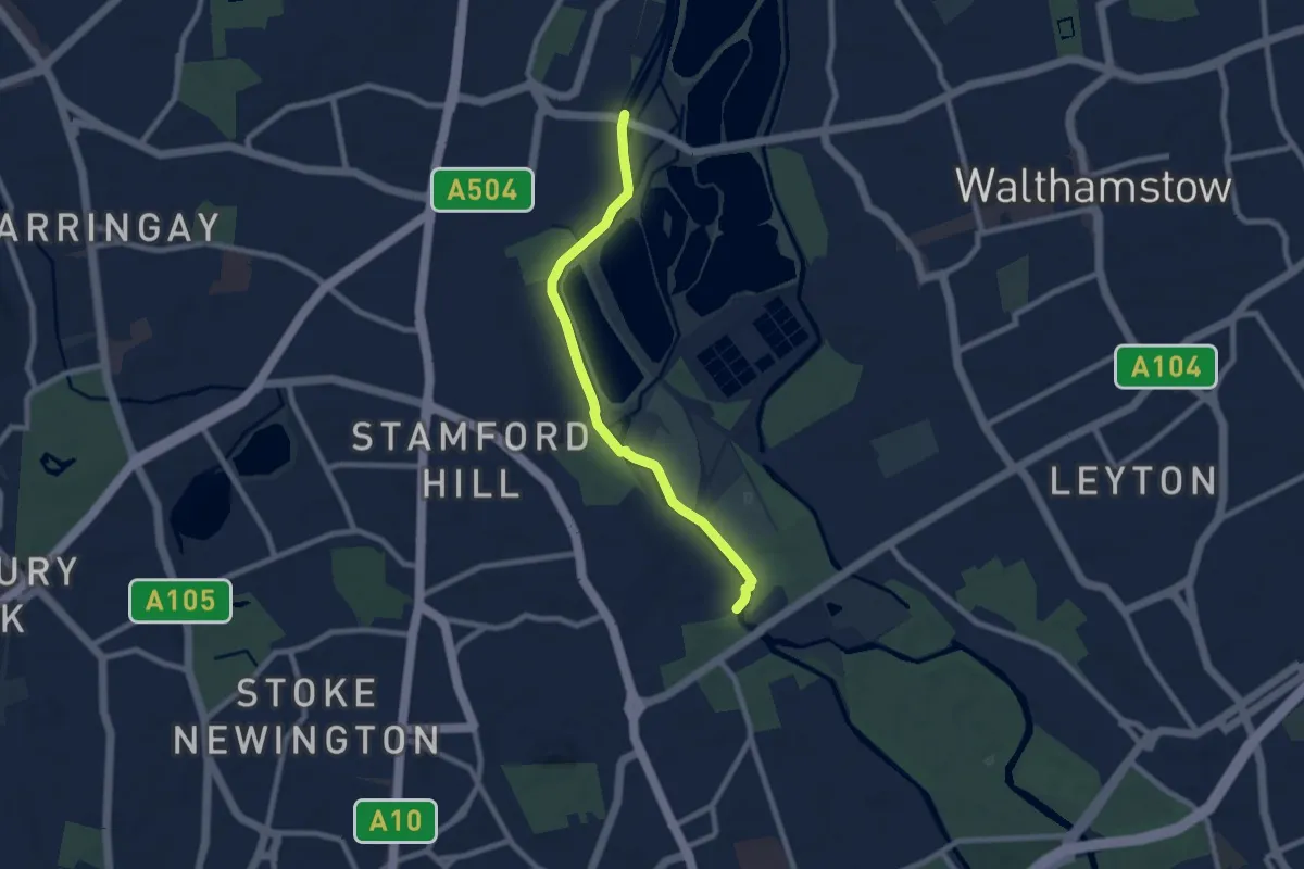
Easy · Trail
Lea Valley Walk
6.8 km · ↑ 0 m · 1 h 37 min
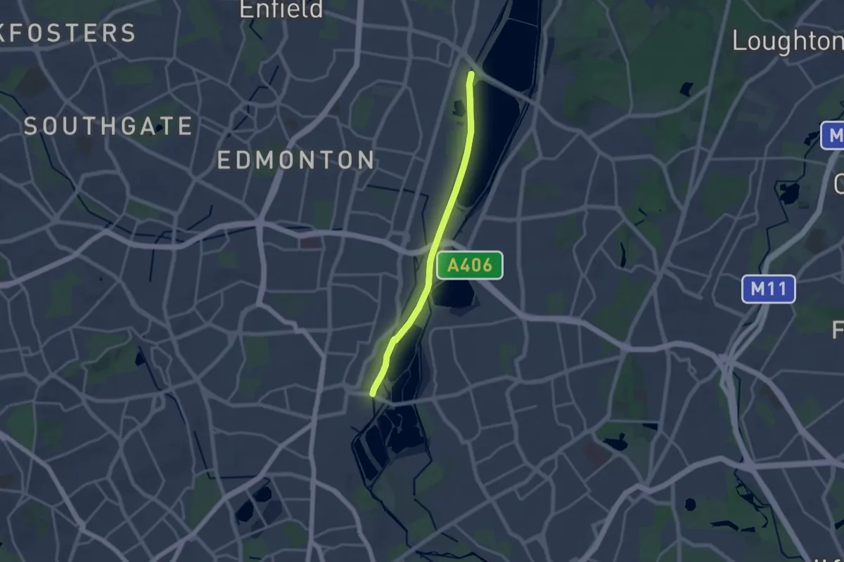
Medium · Trail
Lea Valley Walk
12.7 km · ↑ 4 m · 3 h
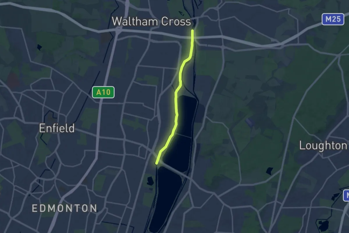
Medium · Trail
Lea Valley Walk
10.1 km · ↑ 4 m · 2 h 23 min
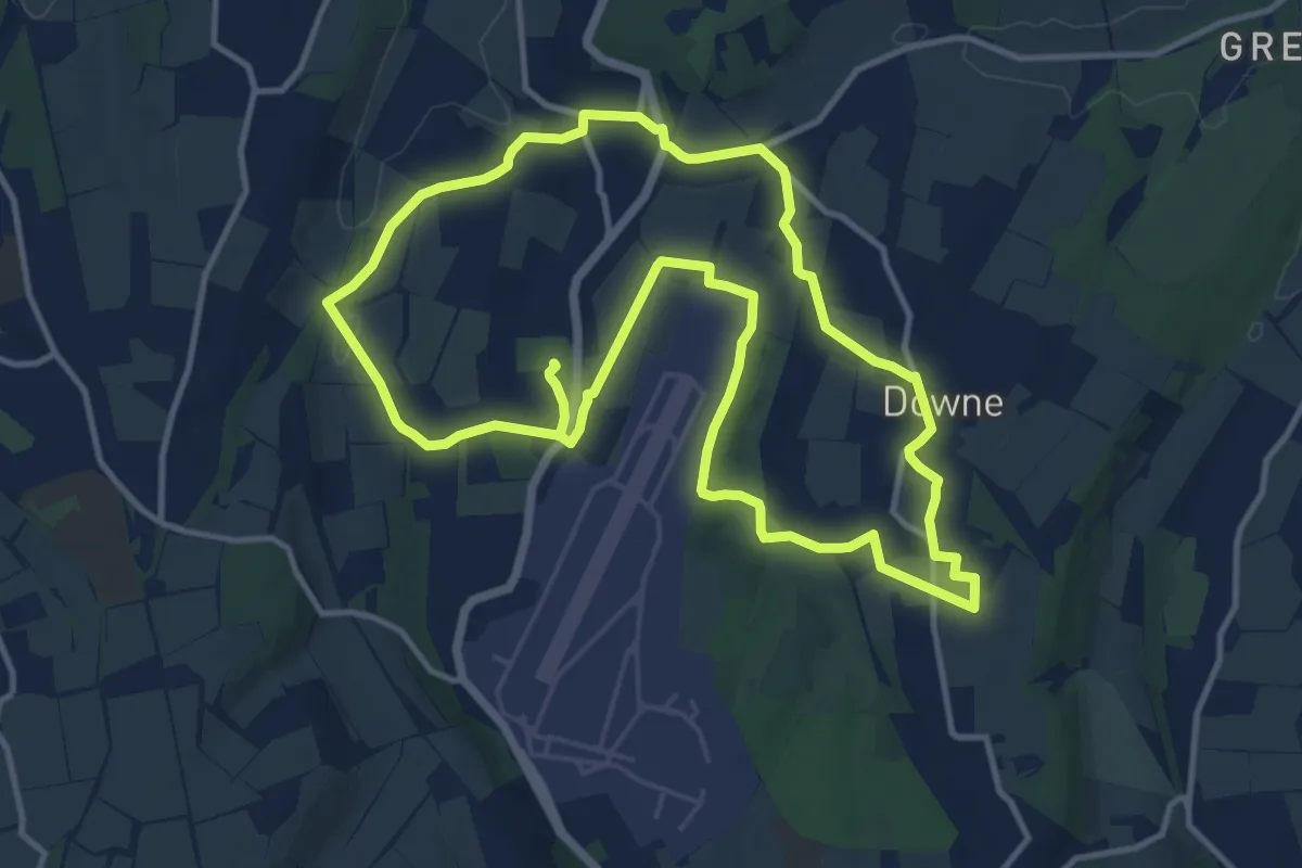
Demanding · Trail
Leaves Green Circular Walk
22.3 km · ↑ 318 m · 5 h 57 min
Medium · Trail
Lecale Way
10.2 km · ↑ 64 m · 2 h 32 min
Demanding · Trail
Lecale Way
20.8 km · ↑ 206 m · 5 h 39 min
Easy · Trail
Leebitton to Cunningsburgh
3.2 km · ↑ 126 m · 1 h 2 min
Medium · Trail
Legions and Sand
9.9 km · ↑ 42 m · 2 h 26 min
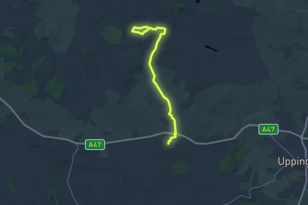
Medium · Trail
Leicestershire Round
13.9 km · ↑ 262 m · 3 h 50 min
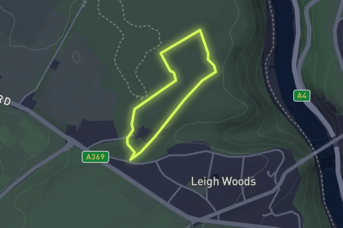
Easy · Trail
Leigh Woods Veteran Tree Walk, Leigh Woods
1.7 km · ↑ 9 m · 27 min
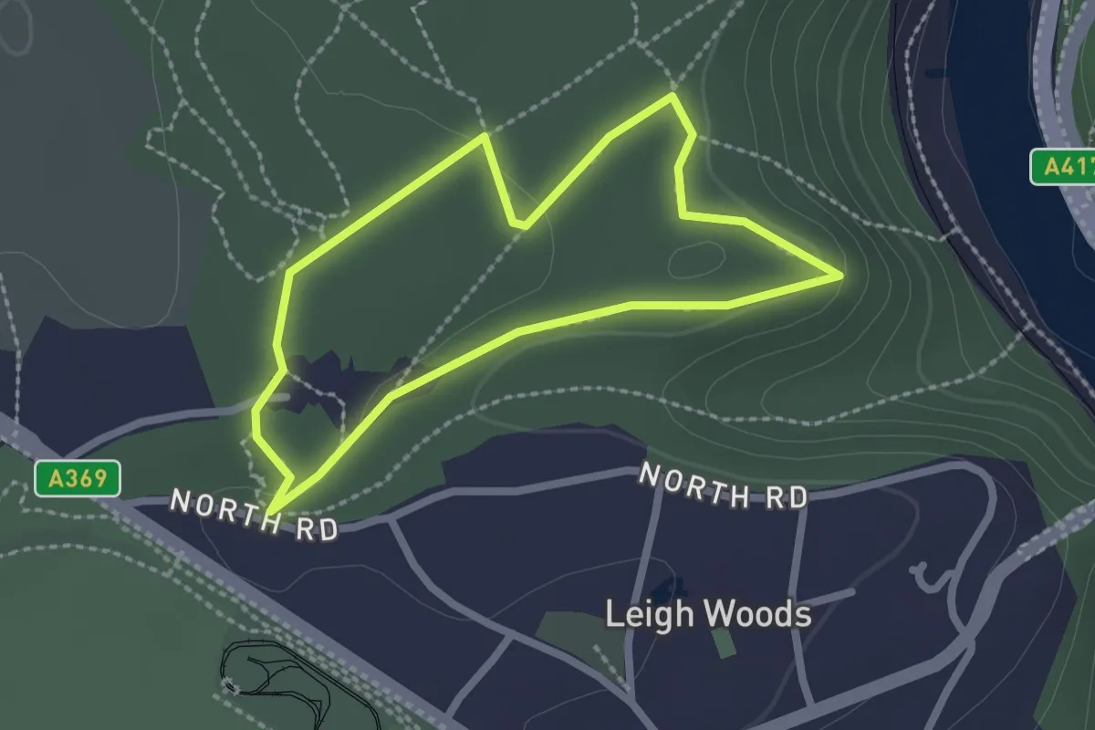
Easy · Trail
Leigh Woods Woodland Wander, Leigh Woods
1.8 km · ↑ 18 m · 30 min
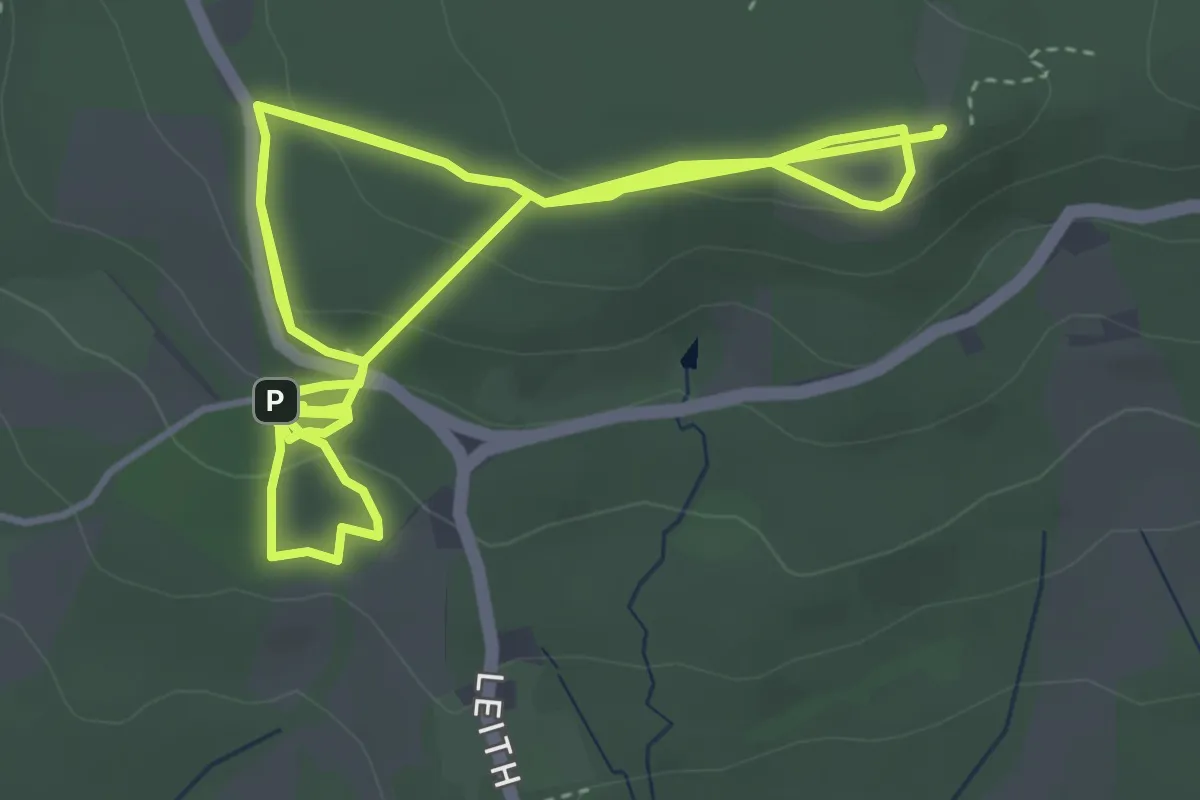
Easy · Summit
Leith Hill '50 things' Trail, Leith Hill
4.6 km · ↑ 183 m · 1 h 30 min
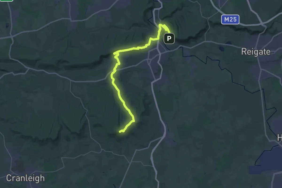
Demanding · Summit
Leith Hill Greenway
35.3 km · ↑ 746 m · 9 h 58 min
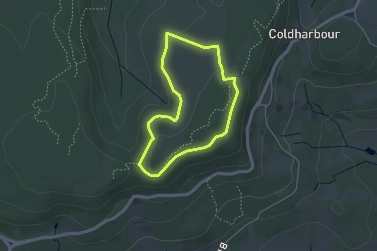
Easy · Trail
Leith Hill Heathland Walk, Leith Hill
2.6 km · ↑ 35 m · 44 min
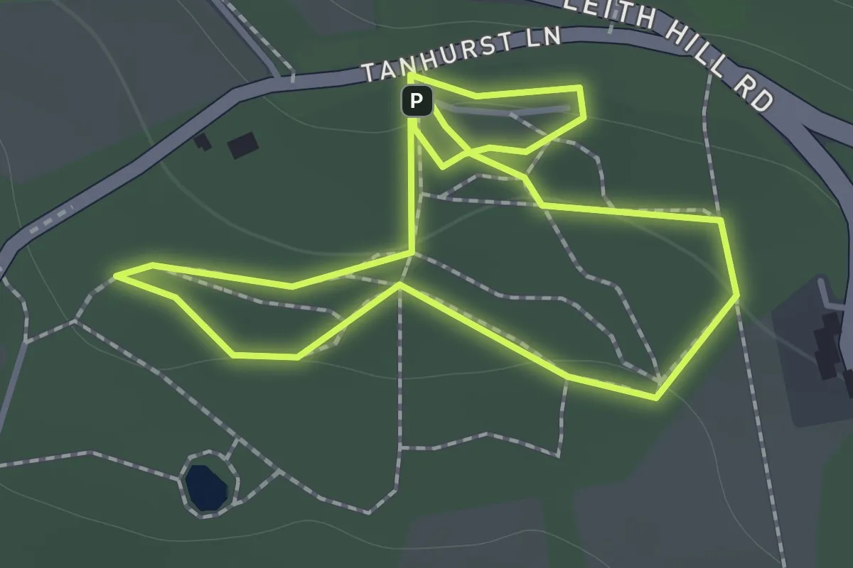
Easy · Trail
Leith Hill Rhododendron Wood Walk, Leith Hill
1.1 km · ↑ 24 m · 20 min
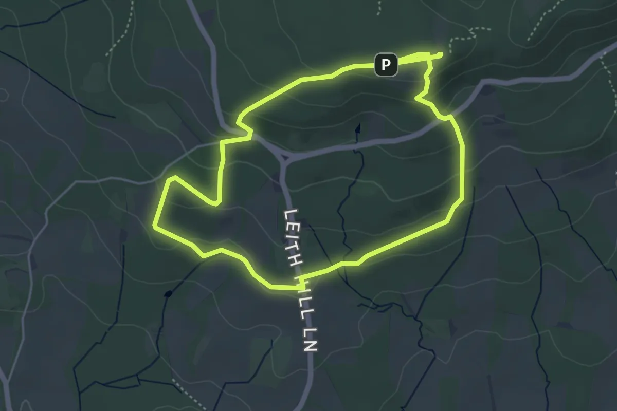
Easy · Summit
Leith Hill Woodland Walk, Leith Hill
3.9 km · ↑ 164 m · 1 h 20 min