Trails in United Kingdom
3,857 hiking trails, each with its route, climb, walking time and grade.
All trails, page 43 of 81
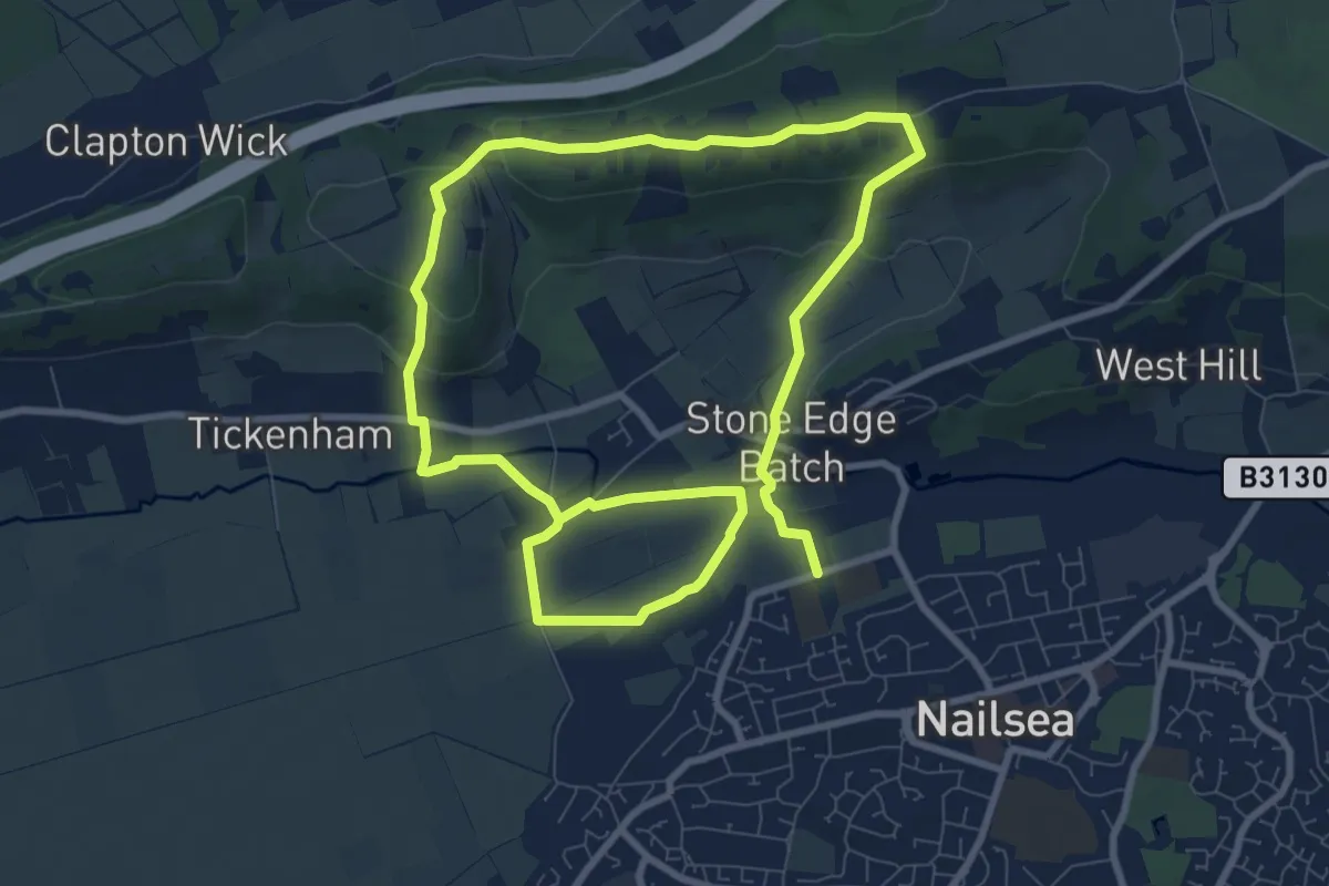
Medium · Trail
Loop Walk
14.8 km · ↑ 302 m · 4 h 9 min
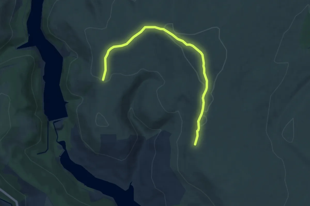
Easy · Summit
Lost Lad and Back Tor (Ethels), High Peak
4.0 km · ↑ 48 m · 1 h 9 min
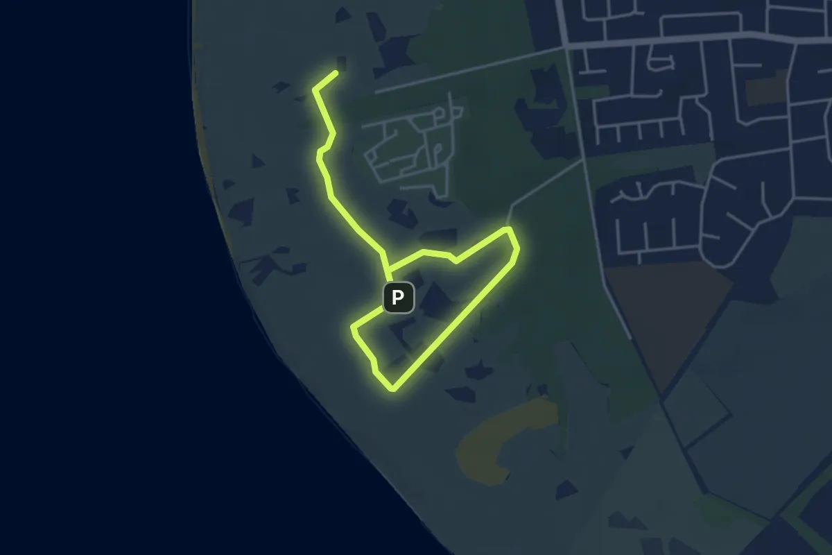
Easy · Trail
Lost Resort Trail, Formby
2.3 km · ↑ 0 m · 34 min
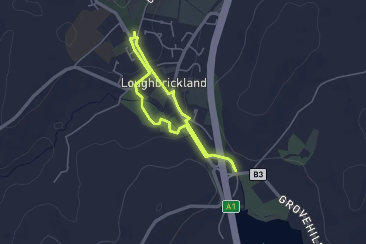
Easy · Trail
Loughbrickland Historic Trail
2.3 km · ↑ 35 m · 39 min
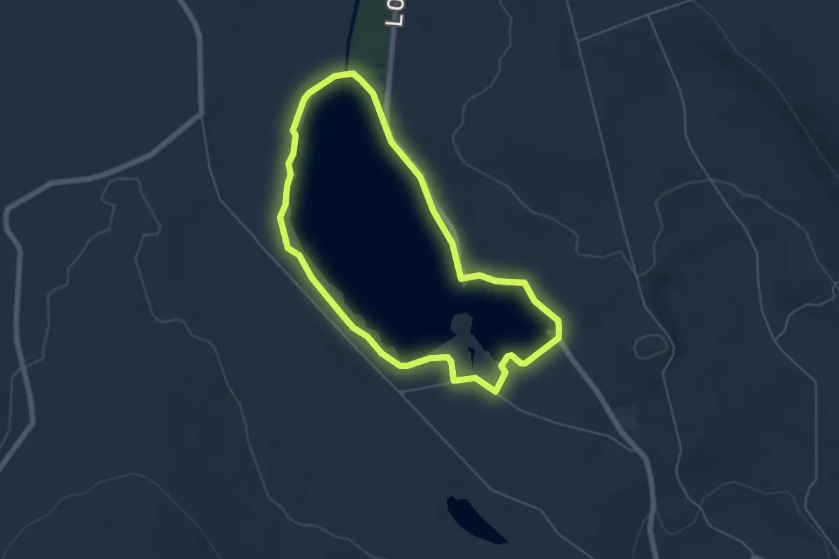
Easy · Trail
Lough Fea
4.0 km · ↑ 14 m · 1 h 2 min
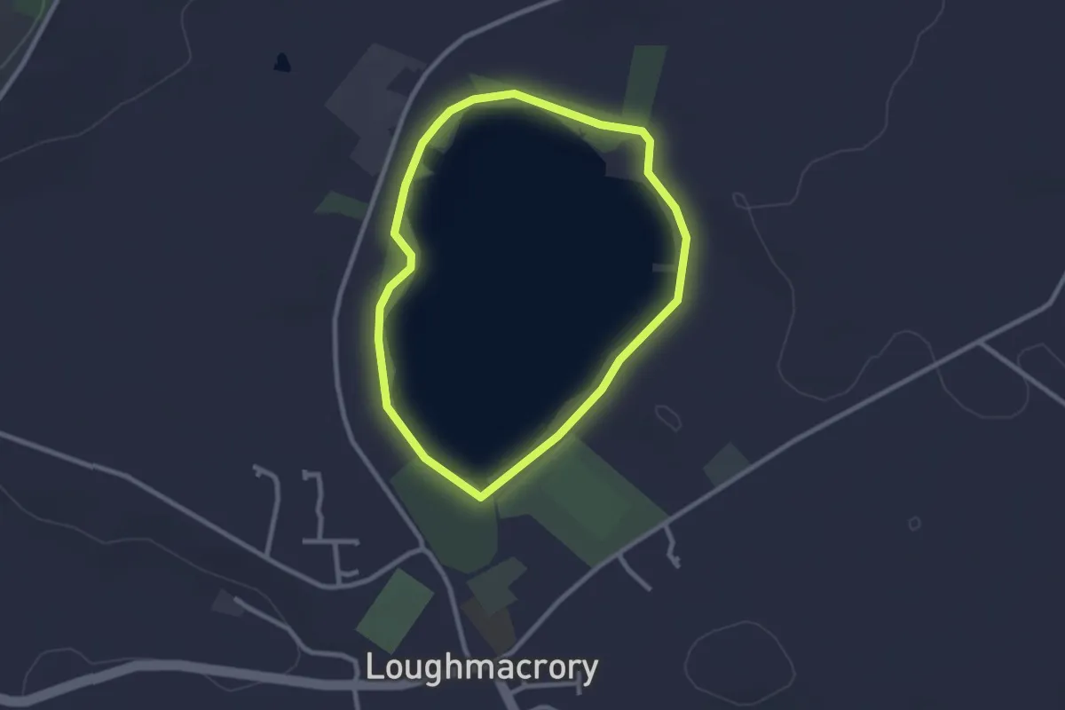
Easy · Trail
LOUGHMACRORY LOUGH
2.0 km · ↑ 0 m · 30 min
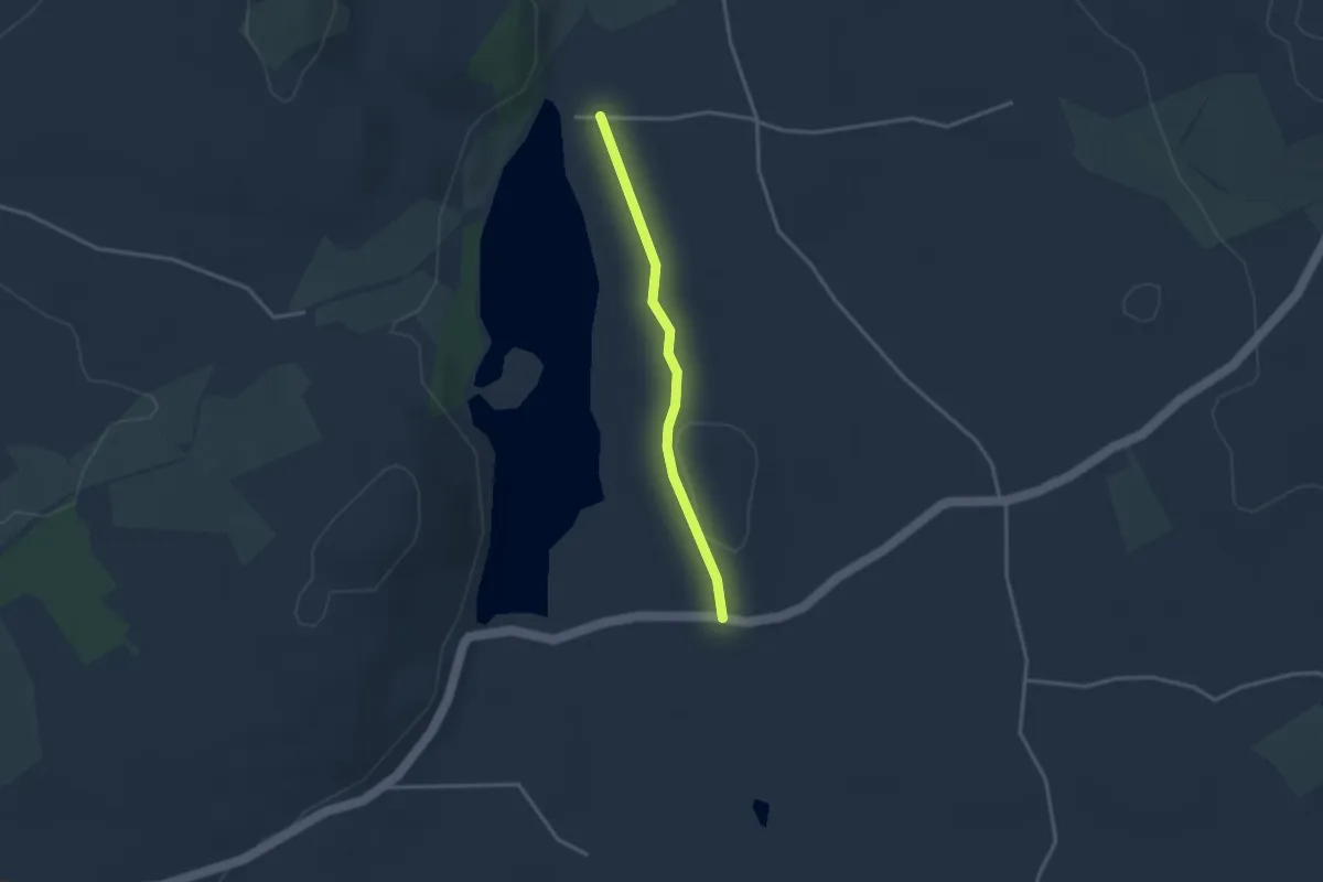
Easy · Trail
Lough Money Loaney
2.4 km · ↑ 25 m · 37 min
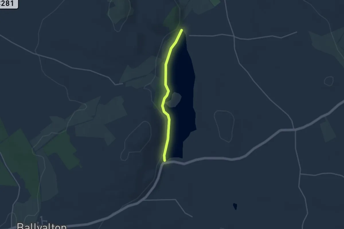
Easy · Trail
Lough Money Pad
2.5 km · ↑ 35 m · 40 min
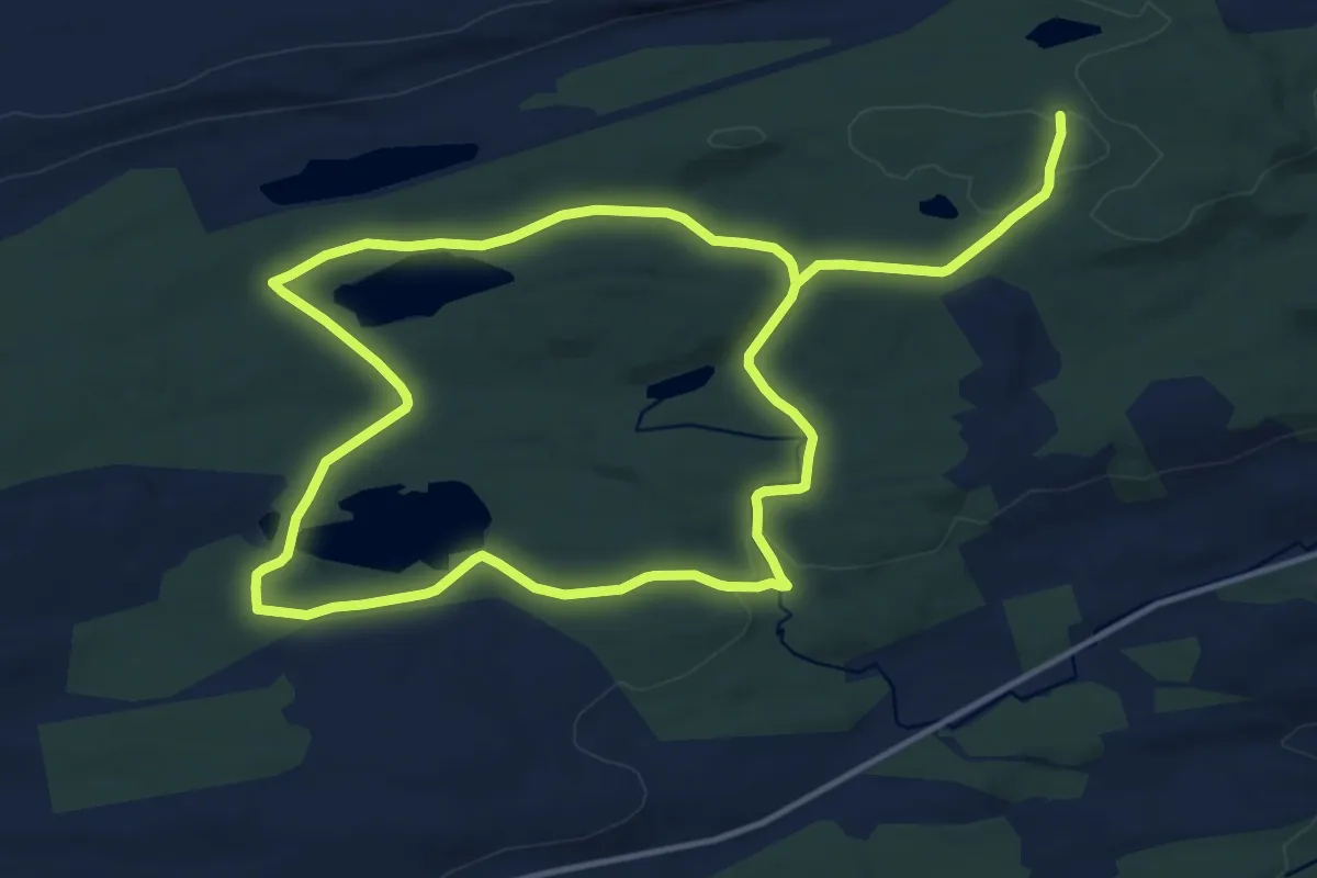
Medium · Trail
Lough Navar Lakes Walk
11.2 km · ↑ 184 m · 3 h 11 min
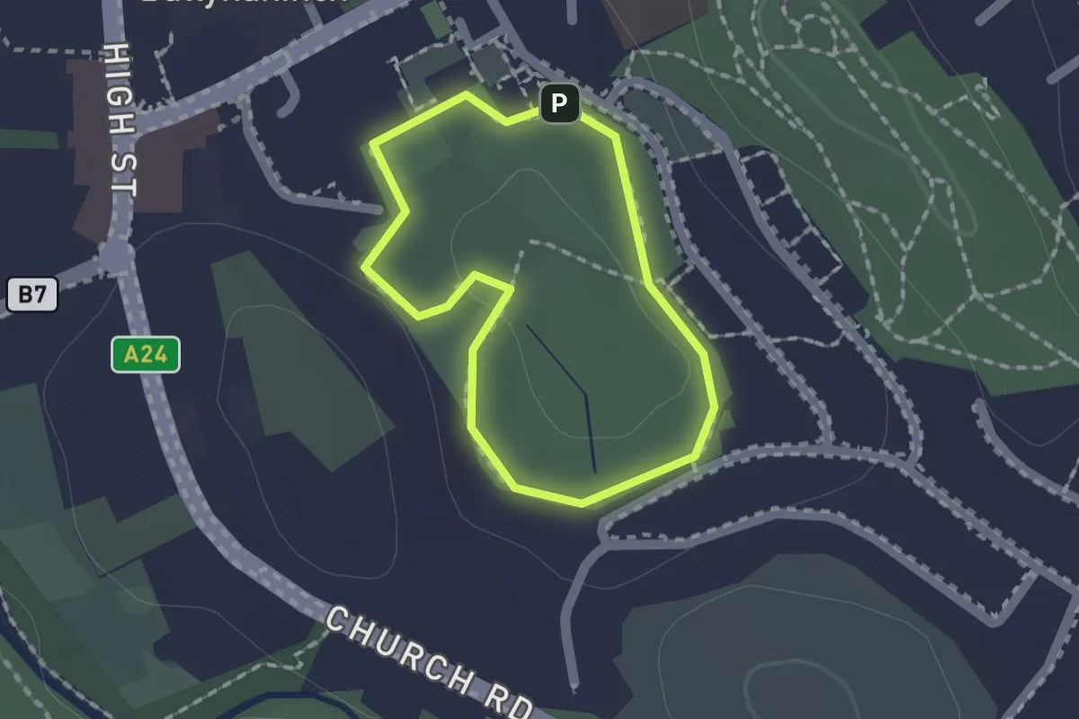
Easy · Trail
Lough Park Trail
1.1 km · ↑ 5 m · 16 min
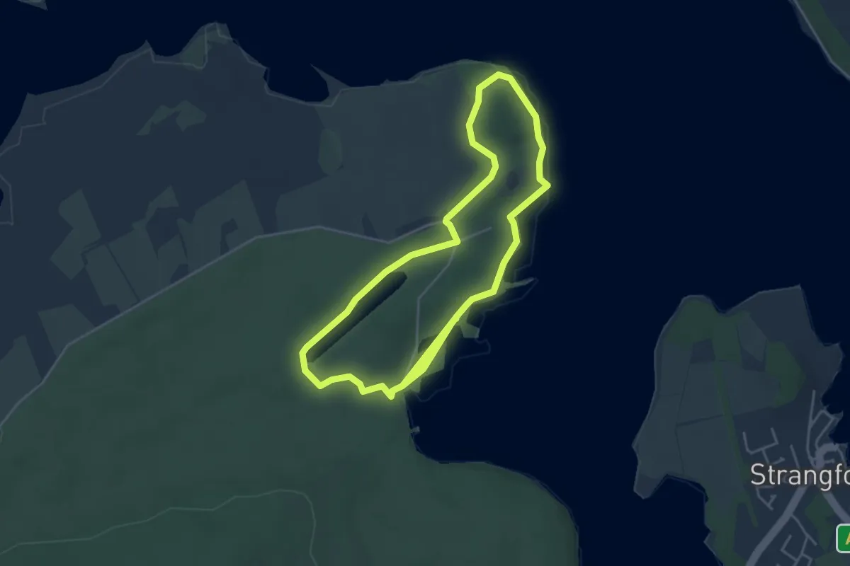
Easy · Trail
Loughside Walk at Castle Ward
3.5 km · ↑ 16 m · 55 min
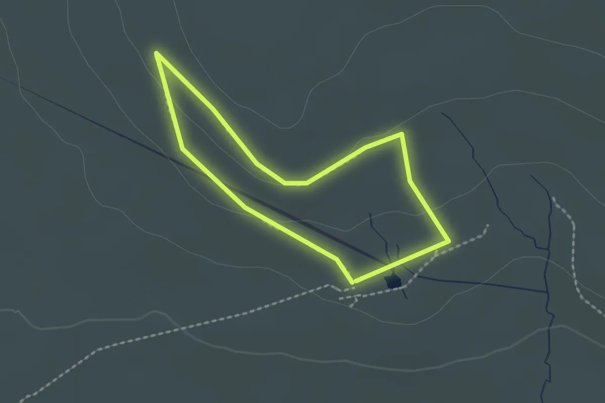
Easy · Trail
Lough Trail, Belfast Area
1.4 km · ↑ 22 m · 24 min
Easy · Trail
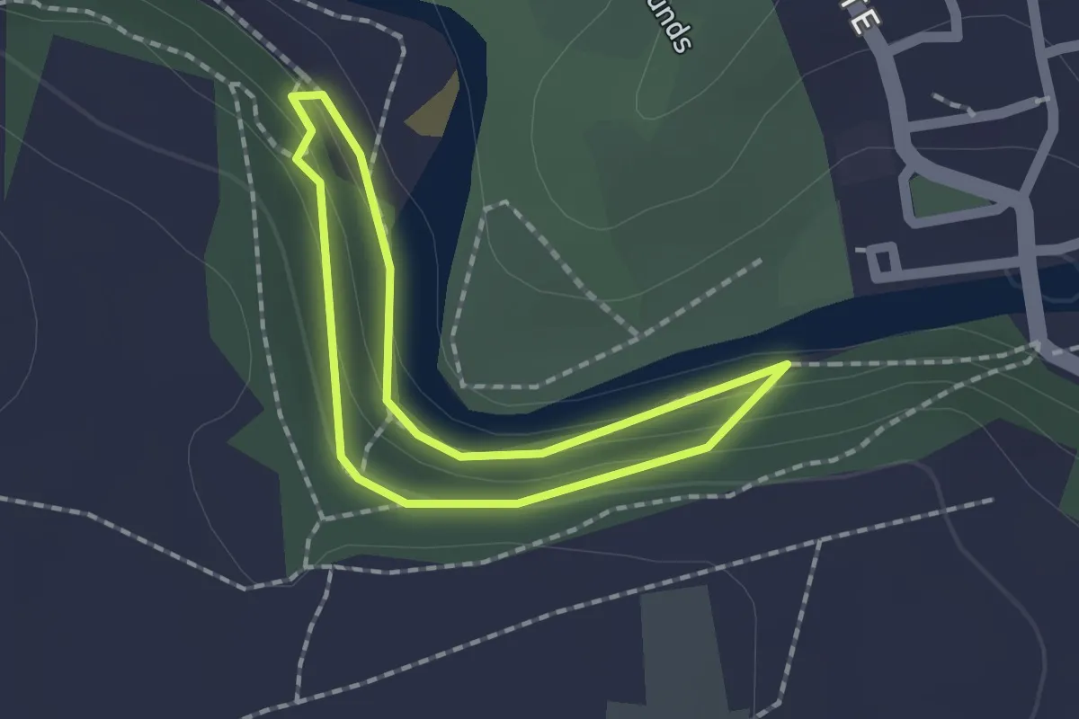
Low and Billy Bank Woods trail, Hudswell
1.2 km · ↑ 21 m · 20 min
Easy · Trail
Lower Crags
4.7 km · ↑ 225 m · 1 h 35 min
Easy · Trail
Lower loop
2.8 km · ↑ 61 m · 49 min
Easy · Trail
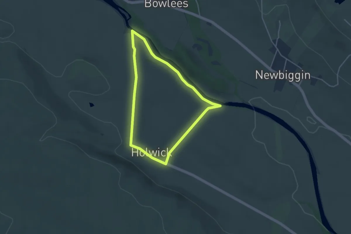
Low Force Geotrail
2.6 km · ↑ 42 m · 45 min
Easy · Trail
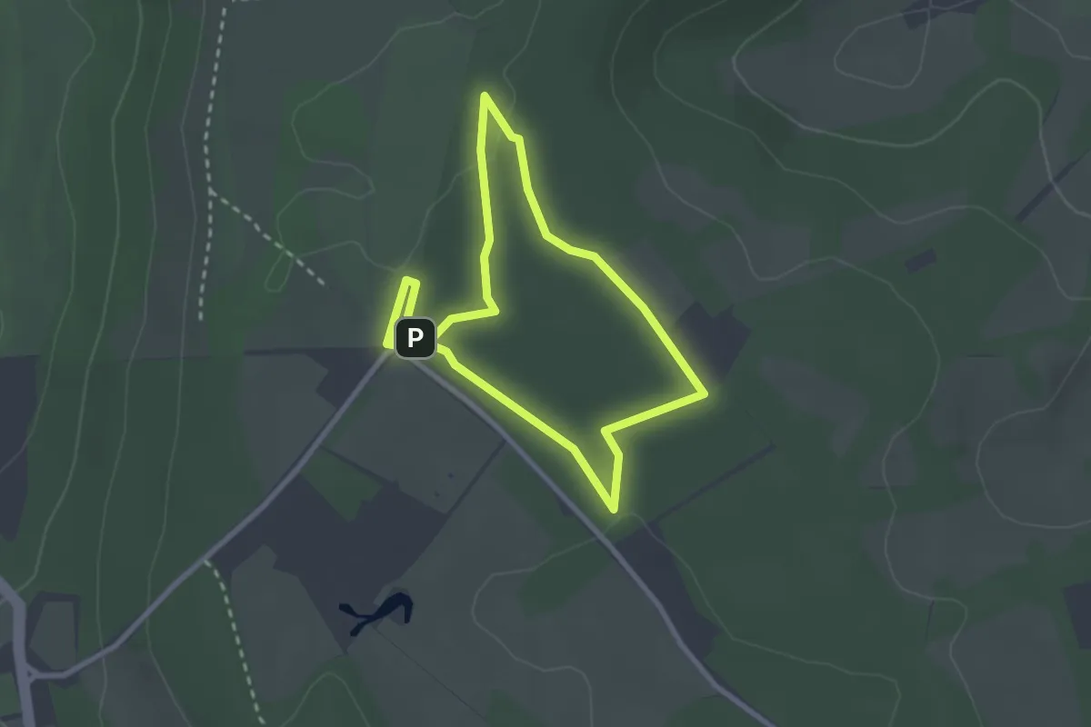
Low Scrubs: A Walk Back In Time, Central Chilterns
2.1 km · ↑ 13 m · 34 min
Easy · Trail
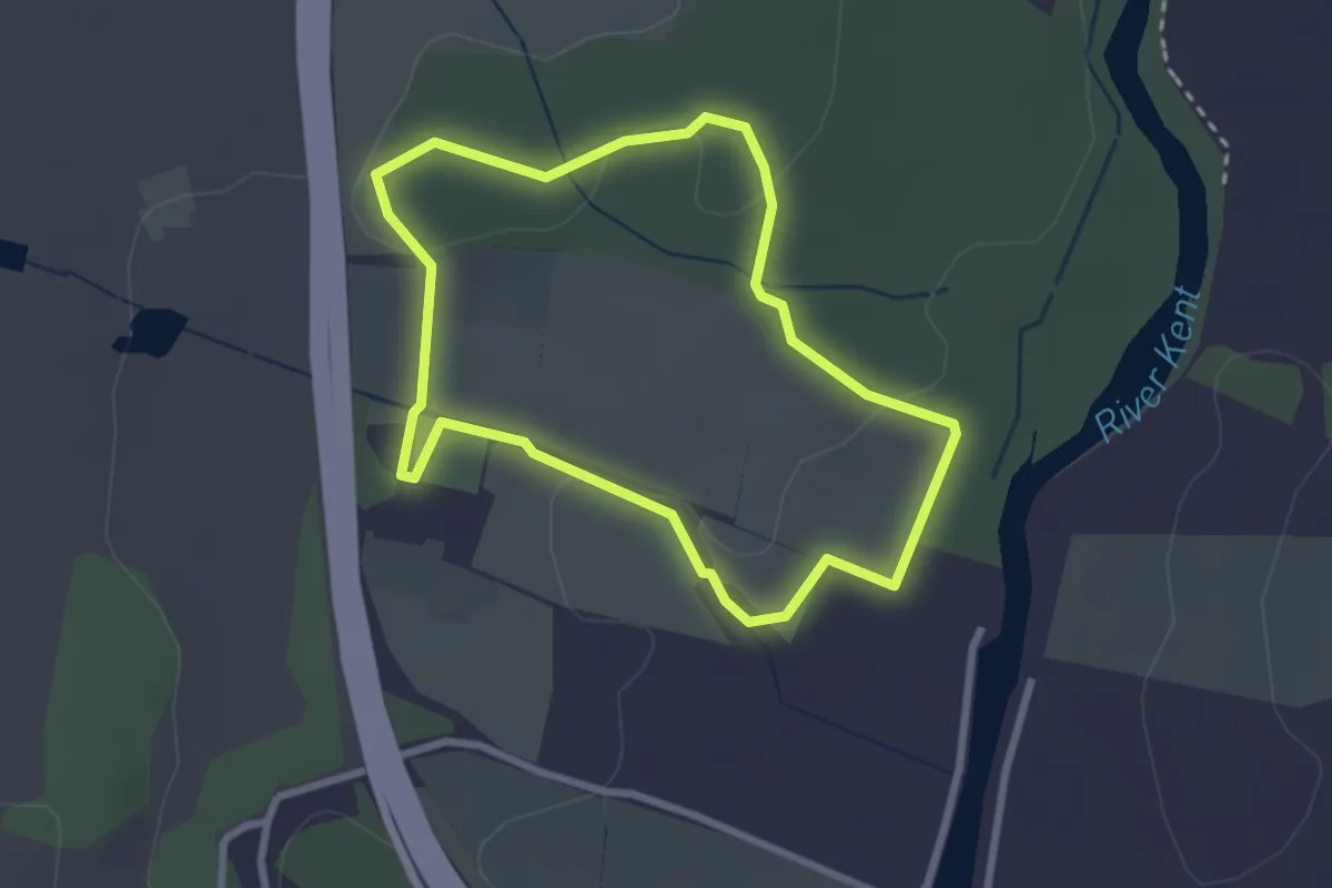
Low Sizergh Farm Trail, Sizergh
2.2 km · ↑ 24 m · 36 min
Easy · Trail
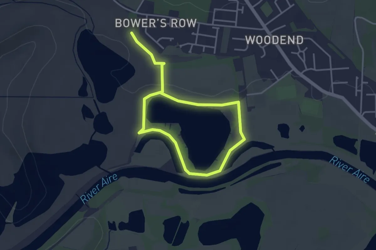
Lowther Loop
4.5 km · ↑ 9 m · 1 h 4 min
Easy · Trail
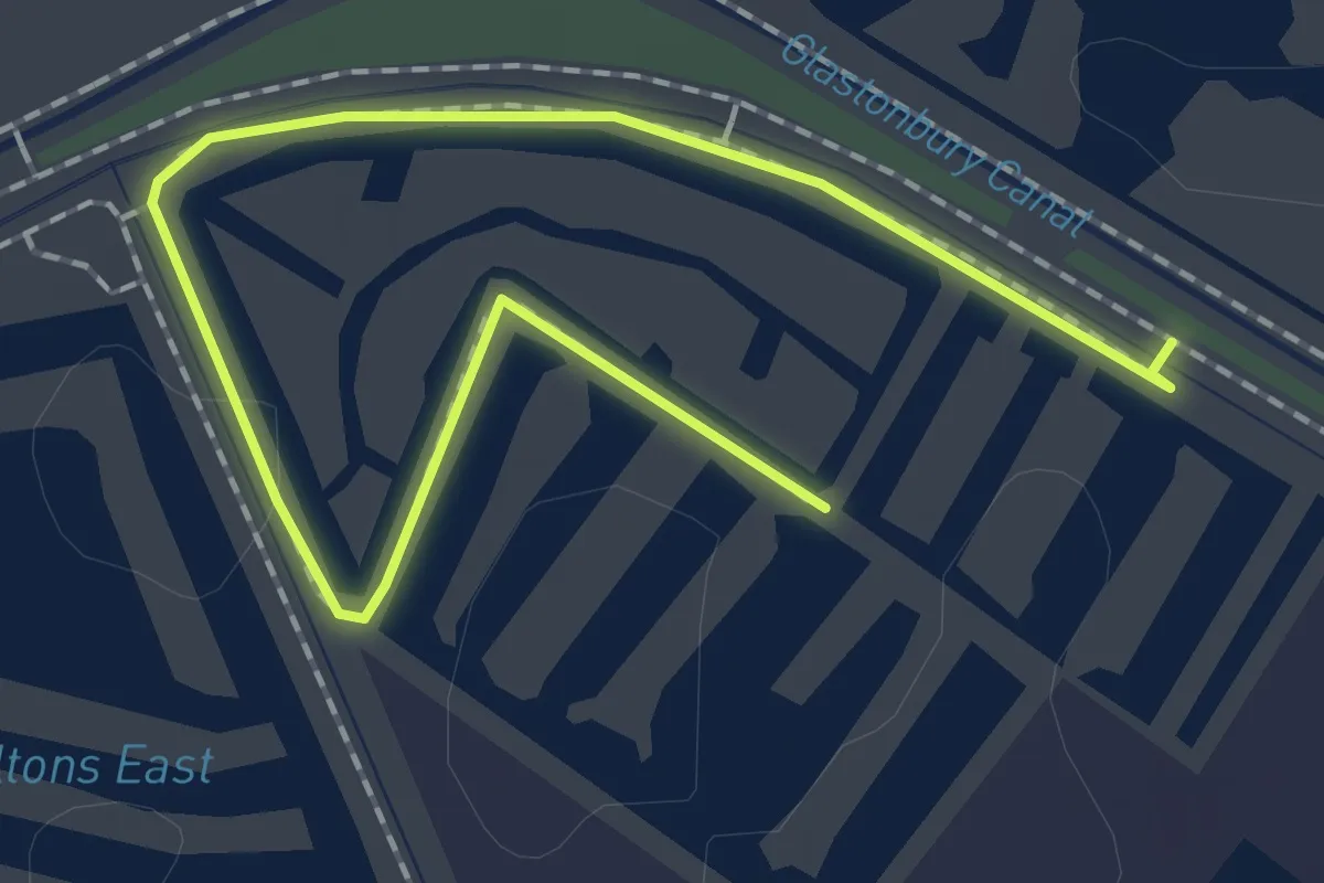
Loxton's Marsh Trail
2.2 km · ↑ 0 m · 31 min
Easy · Trail
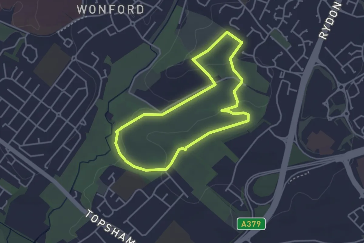
Ludwell Butterfly Trail
2.9 km · ↑ 73 m · 53 min
Easy · Trail
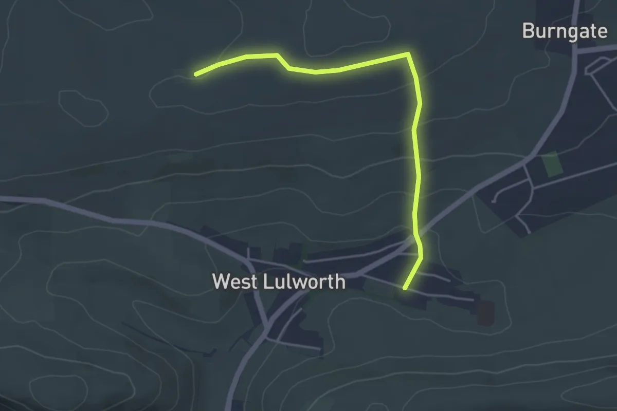
Lulworth Country Trail
3.6 km · ↑ 128 m · 1 h 7 min
Easy · Trail
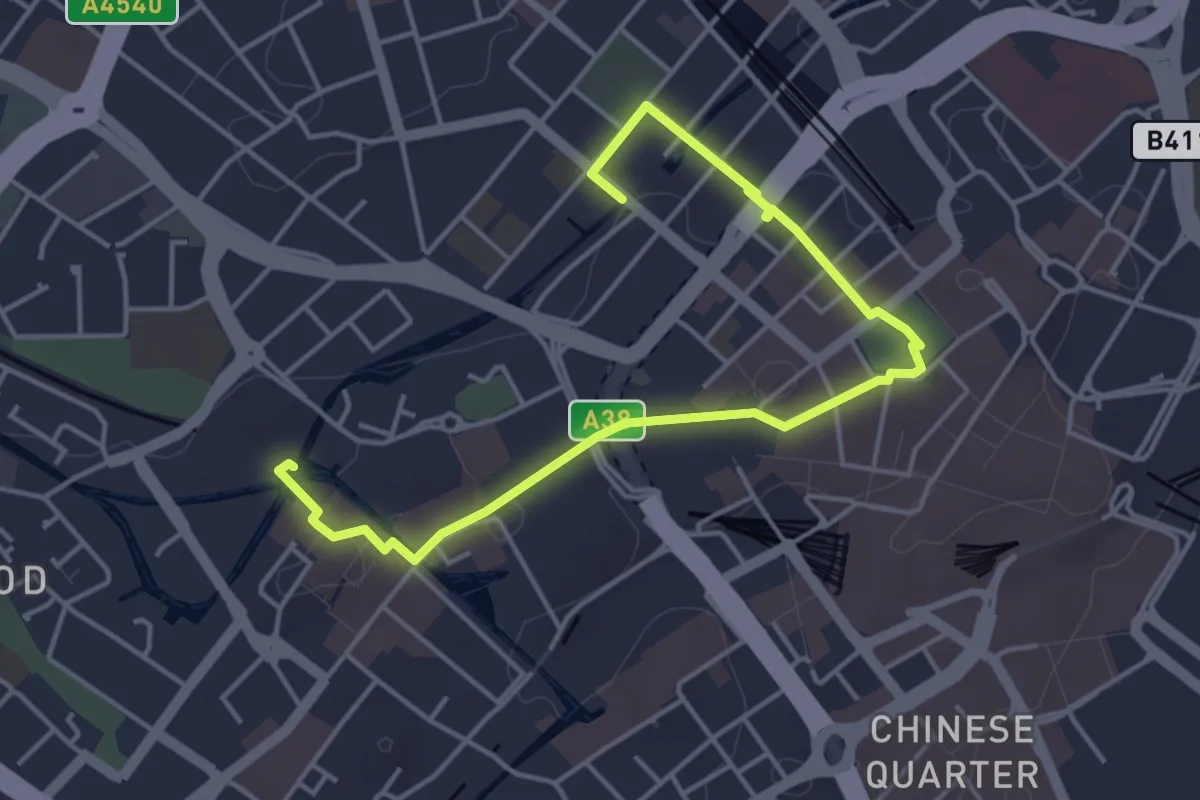
Lunar Society Birmingham Heritage Trail
2.3 km · ↑ 22 m · 38 min
Medium · Trail
Luncarty Stanley River Walk
7.9 km · ↑ 64 m · 2 h
Easy · Trail
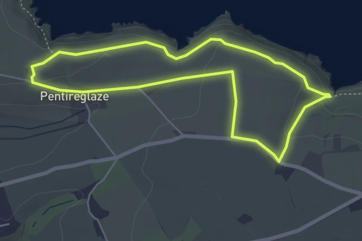
Lundy Bay and Pentire walk, North Cornwall
3.7 km · ↑ 70 m · 1 h 4 min
Easy · Trail
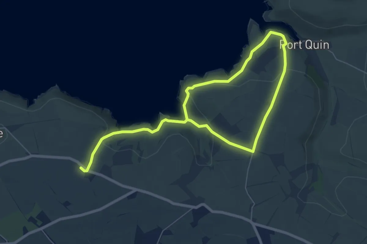
Lundy Bay and Port Quin circular walk near Pentire, North Cornwall
4.1 km · ↑ 121 m · 1 h 19 min
Easy · Trail
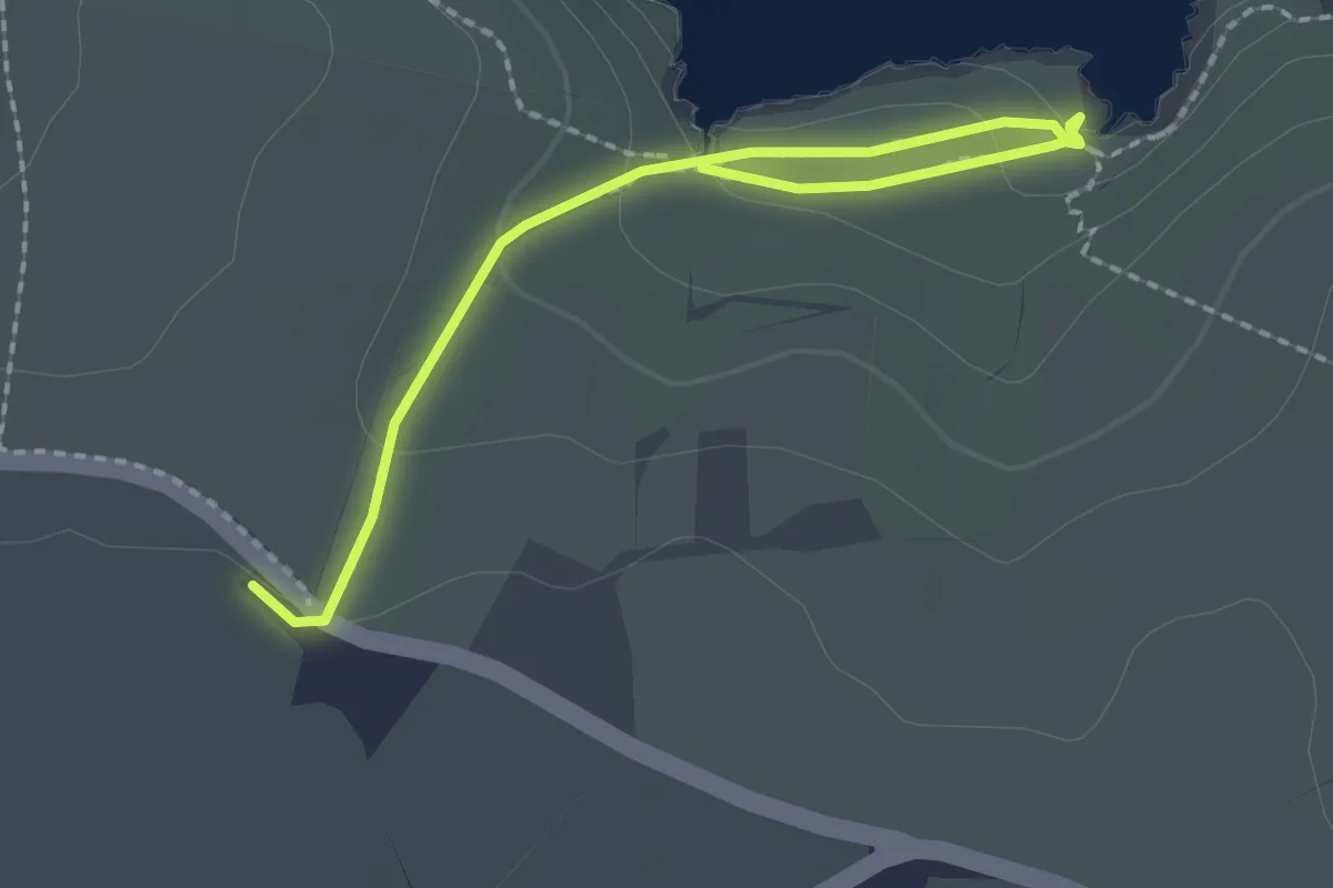
Lundy Bay walk, North Cornwall
1.1 km · ↑ 60 m · 23 min
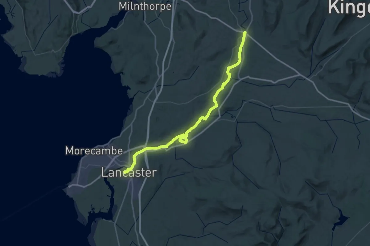
Demanding · Trail
Lune Valley Ramble
29.0 km · ↑ 120 m · 7 h 30 min
Easy · Trail
Lunga Water Loch
3.4 km · ↑ 39 m · 55 min
Easy · Trail
Lurgies Walk
4.3 km · ↑ 19 m · 1 h 4 min
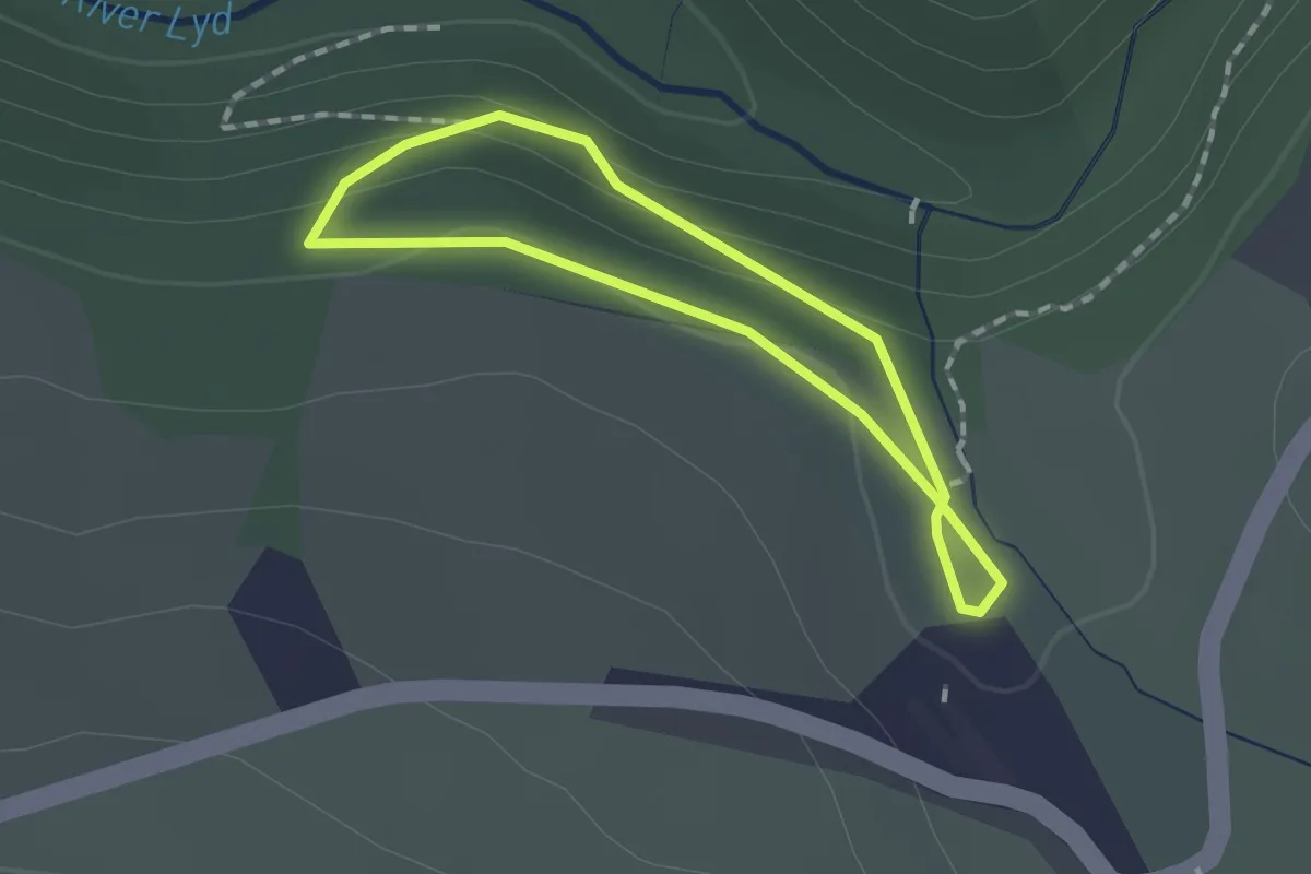
Easy · Trail
Lydford Gorge Railway Path, Lydford Gorge
1.1 km · ↑ 47 m · 23 min
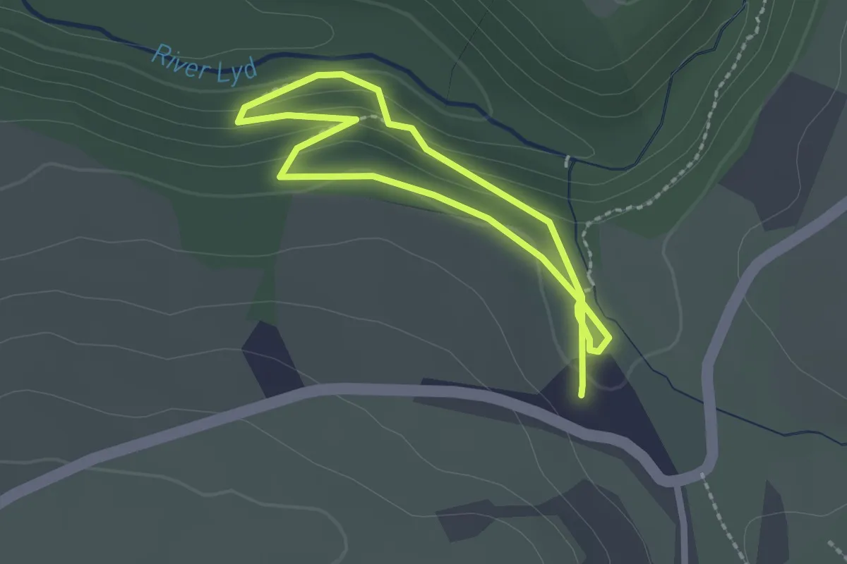
Easy · Trail
Lydford Gorge Waterfall trail, Lydford Gorge
1.6 km · ↑ 72 m · 34 min
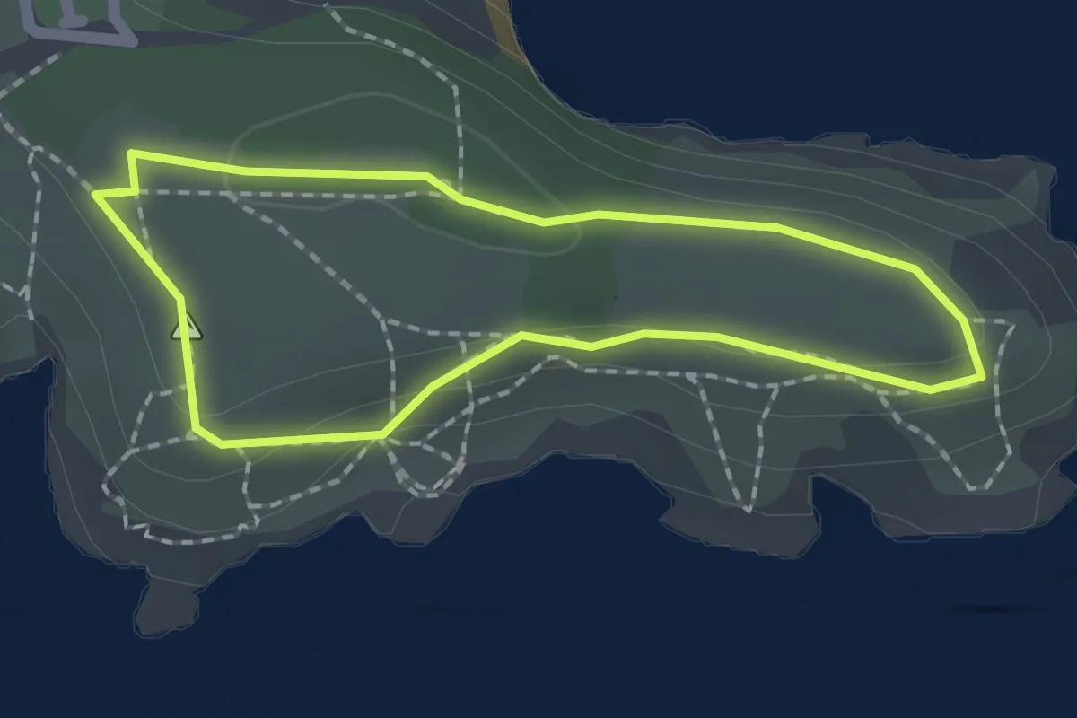
Easy · Trail
Lydstep Cliffs and Caverns Walk, Stackpole
1.4 km · ↑ 23 m · 24 min
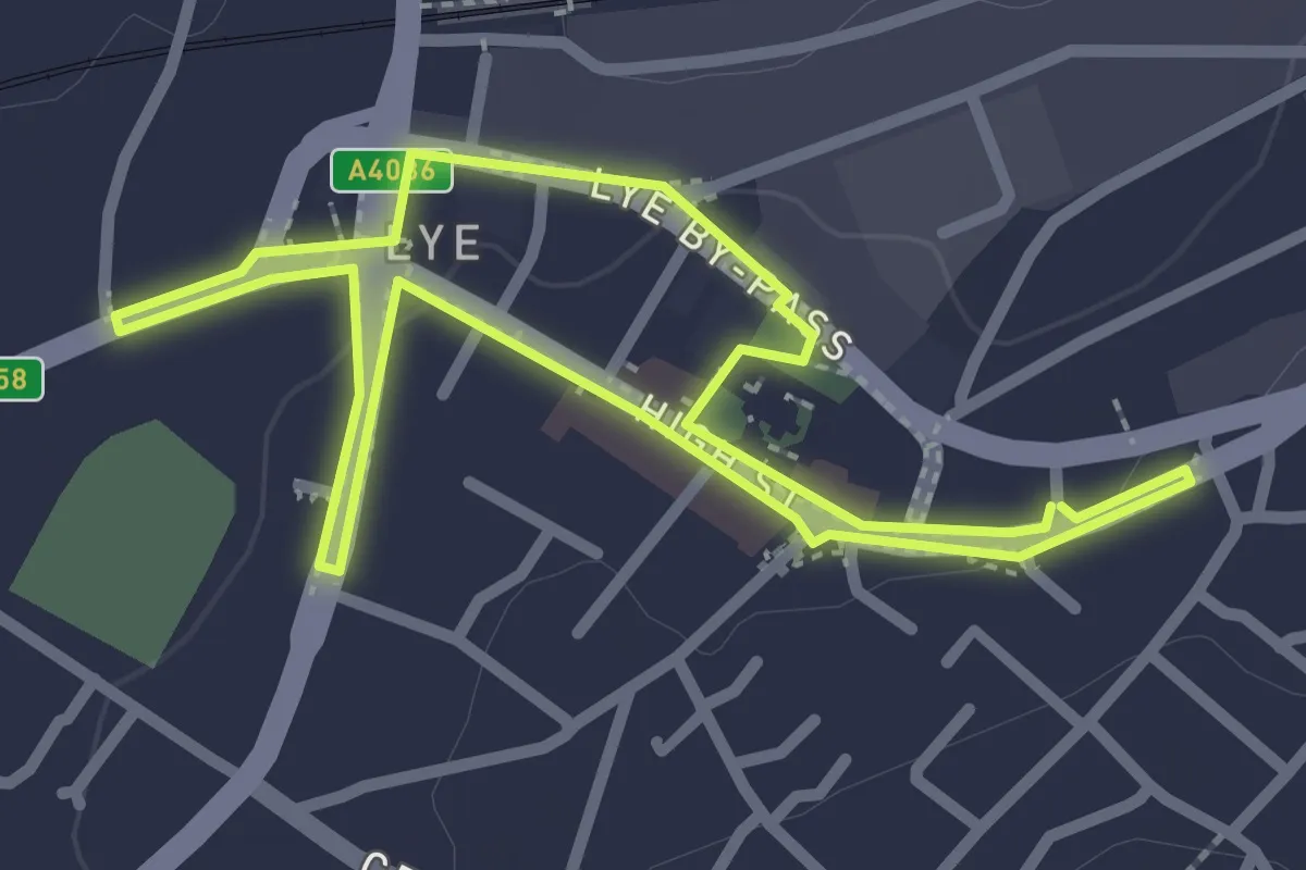
Easy · Trail
Lye Town History Trail
2.1 km · ↑ 10 m · 34 min
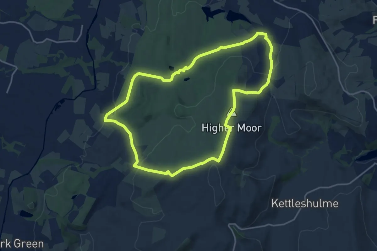
Medium · Summit
Lyme South Perimeter Walk
10.8 km · ↑ 260 m · 3 h 16 min
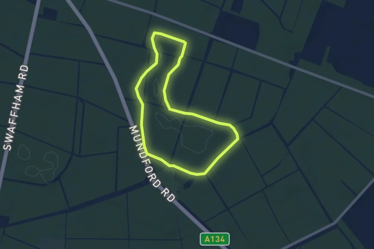
Easy · Trail
Lynford Stag Walk
3.4 km · ↑ 0 m · 51 min
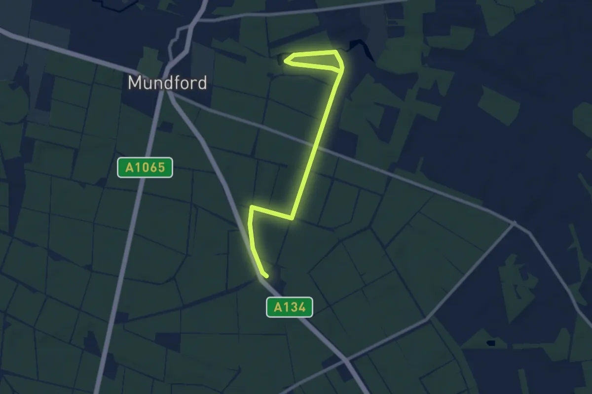
Easy · Trail
Lynford Stag Wellbeing trail
6.9 km · ↑ 21 m · 1 h 41 min
Medium · Trail
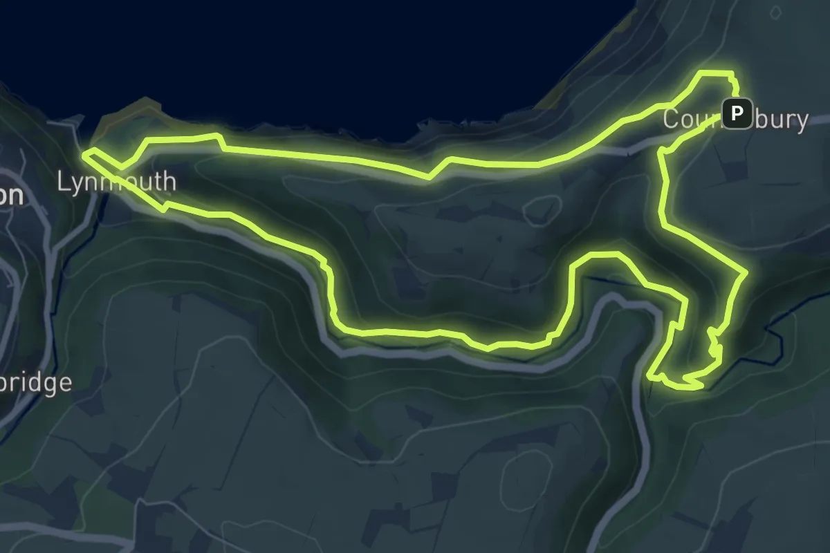
Lynmouth Circular via Watersmeet & Countisbury
8.0 km · ↑ 362 m · 2 h 47 min
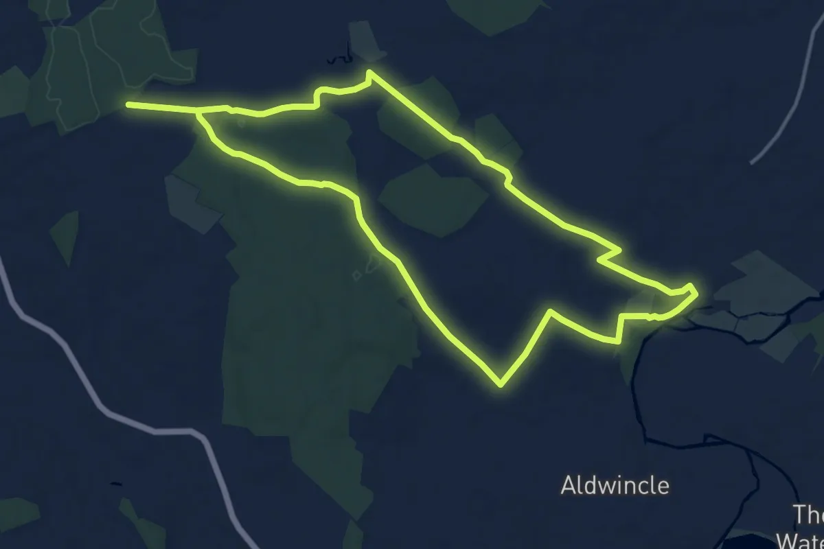
Medium · Trail
Lyveden Way
12.2 km · ↑ 111 m · 3 h 17 min
Medium · Trail
Maam Road
8.8 km · ↑ 207 m · 2 h 32 min
Easy · Trail
Maam Road Walk
7.9 km · ↑ 209 m · 2 h 26 min
Demanding · Trail
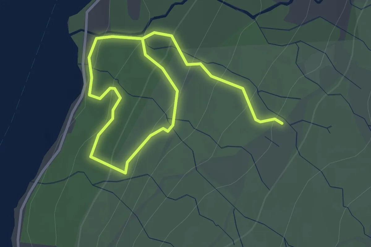
MacGregor's Cave
5.3 km · ↑ 185 m · 1 h 40 min
Easy · Trail
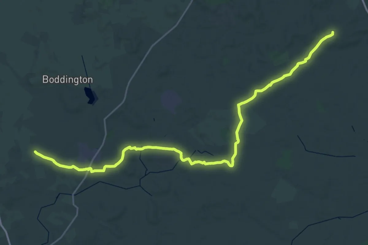
Machell's Coppice Trail
3.8 km · ↑ 243 m · 1 h 25 min
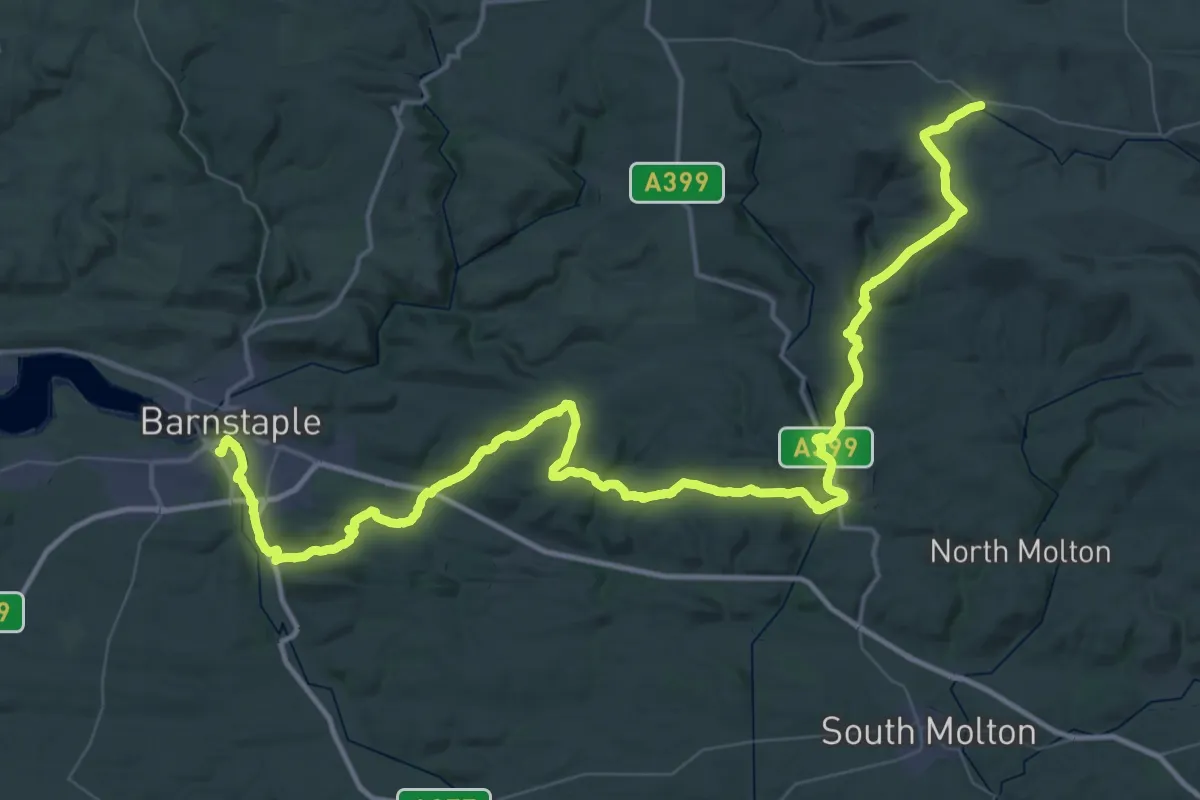
Demanding · Summit
Macmillan Way
46.7 km · ↑ 478 m · 12 h 3 min
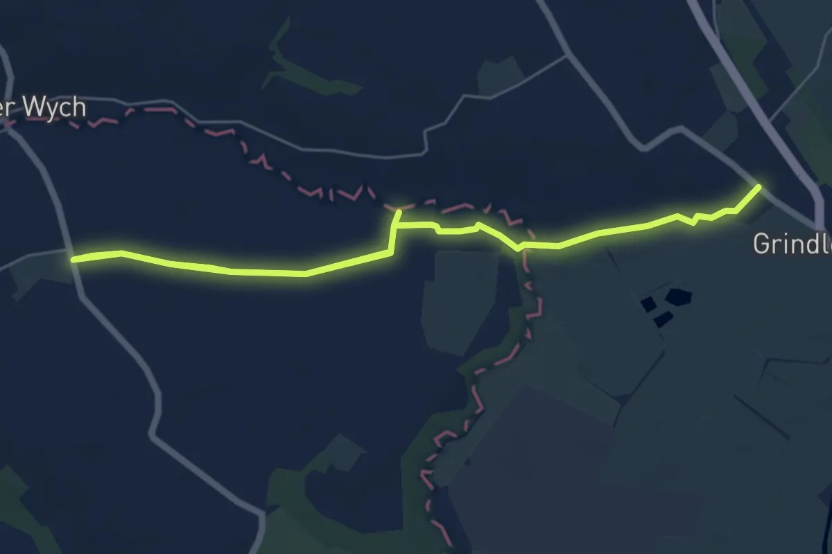
Demanding · Trail
Macmillan Way West
34.8 km · ↑ 486 m · 9 h 56 min
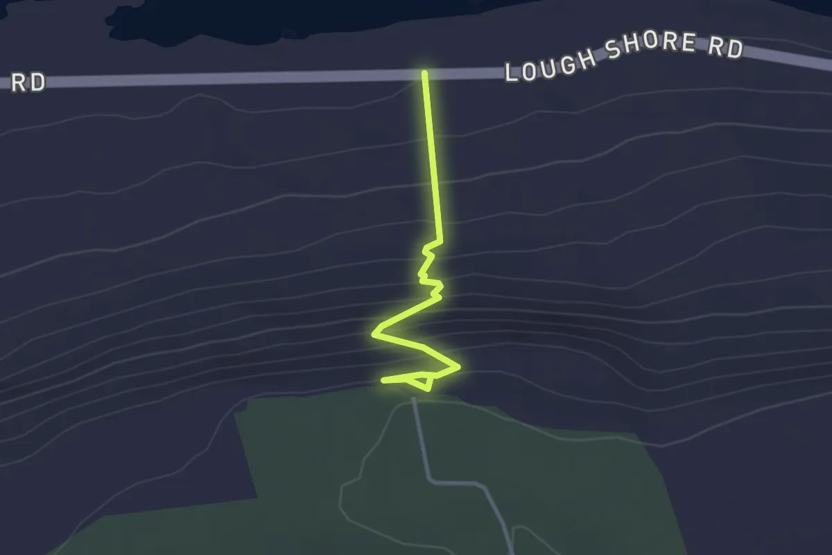
Easy · Trail
Maelor Way
6.9 km · ↑ 23 m · 1 h 40 min
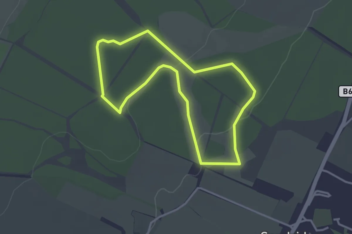
Easy · Trail
Magho Cliff Walk
2.4 km · ↑ 217 m · 1 h 2 min
Easy · Trail
Magical Meander
2.5 km · ↑ 27 m · 42 min