Trails in United Kingdom
3,857 hiking trails, each with its route, climb, walking time and grade.
All trails, page 45 of 81
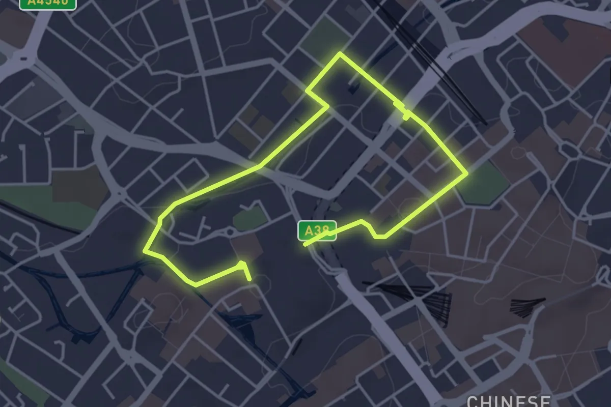
Easy · Trail
Matthew Boulton Trail
5.4 km · ↑ 36 m · 1 h 21 min
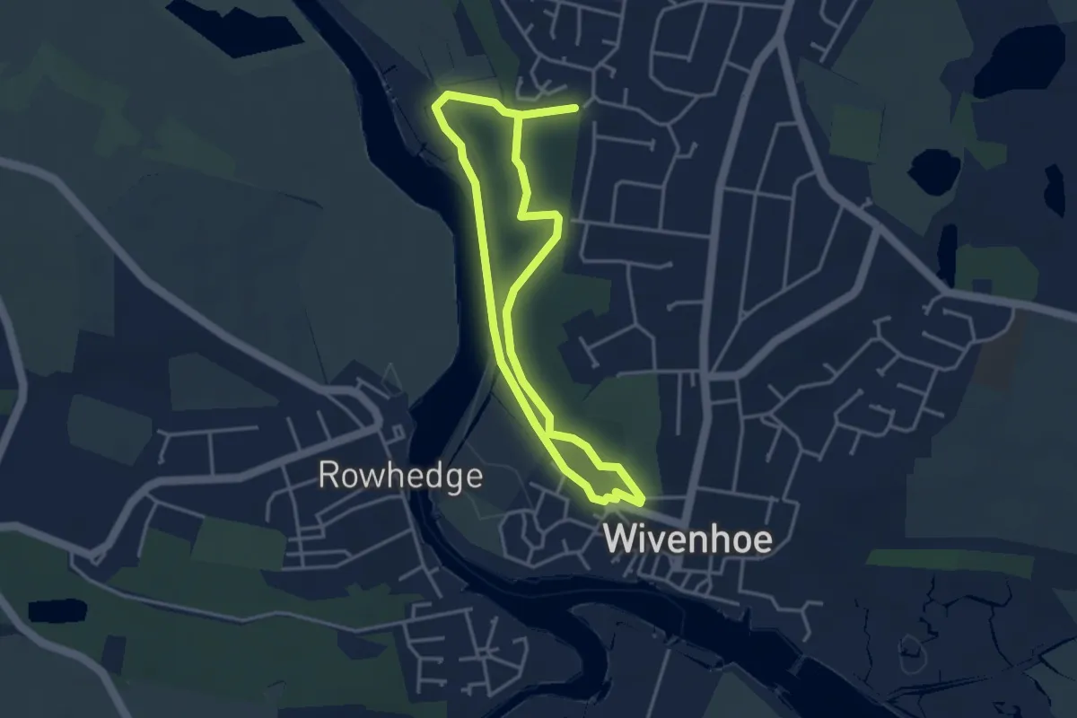
Easy · Trail
Maurice Britton Walk
2.9 km · ↑ 21 m · 47 min
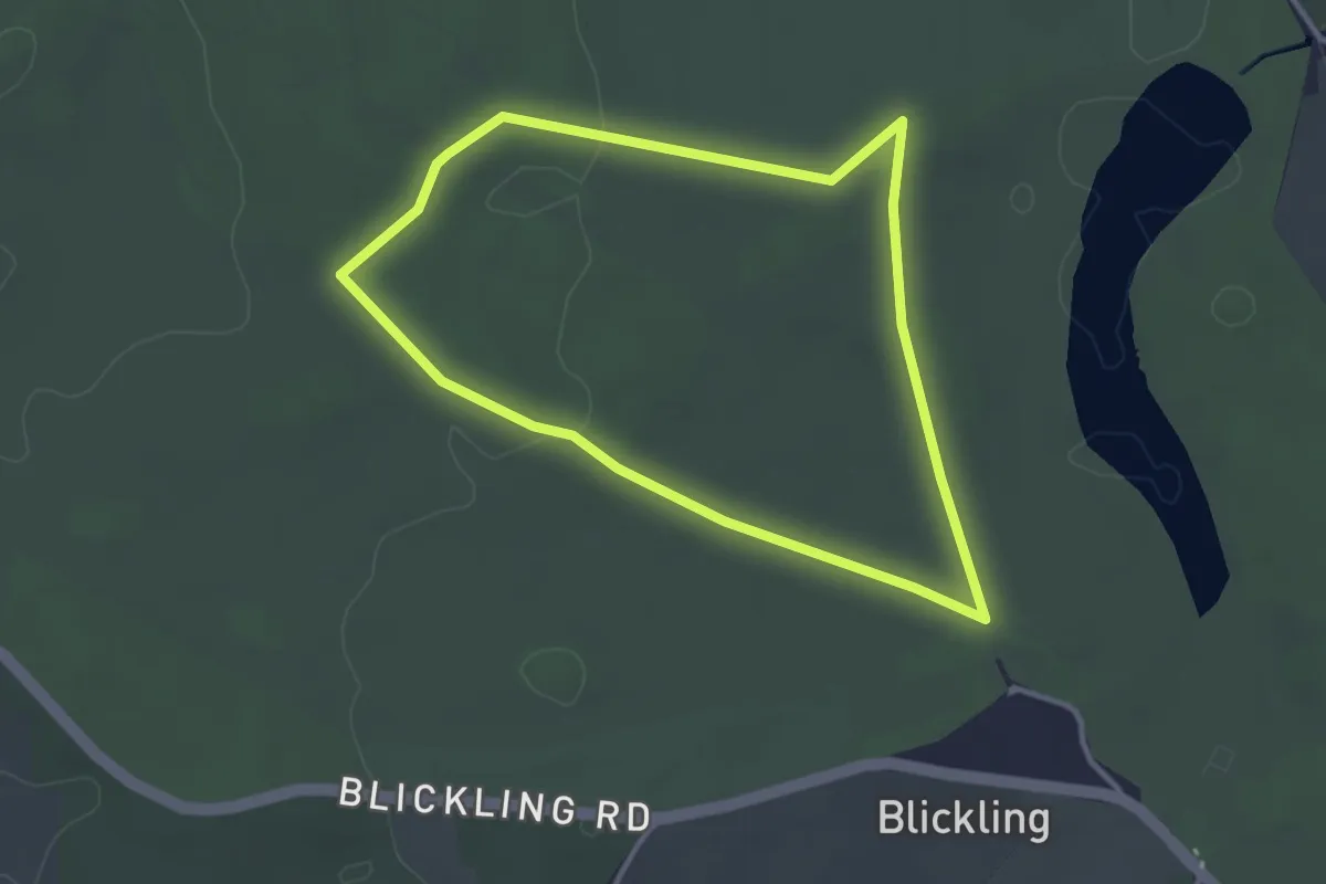
Easy · Trail
Mausoleum Walk, Blickling Estate
2.8 km · ↑ 18 m · 45 min
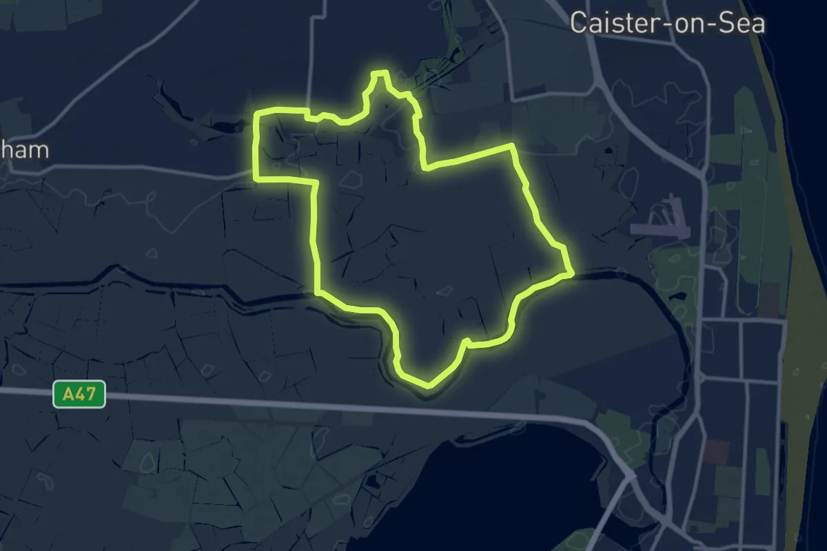
Medium · Trail
Mautby Marsh Circular Walk
9.9 km · ↑ 0 m · 2 h 29 min
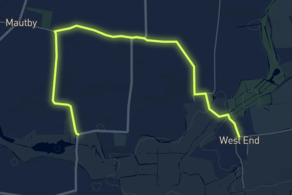
Easy · Trail
Mautby Women’s History Walk
3.3 km · ↑ 13 m · 51 min
Easy · Trail
Mavis Grind
2.4 km · ↑ 79 m · 44 min
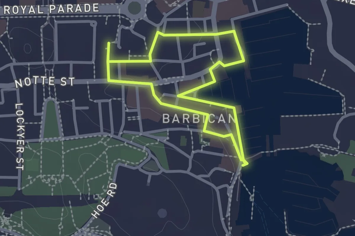
Easy · Trail
Mayflower Trail
1.9 km · ↑ 8 m · 30 min
Medium · Trail
Maywick Deepdale coastal route
4.7 km · ↑ 523 m · 2 h 15 min
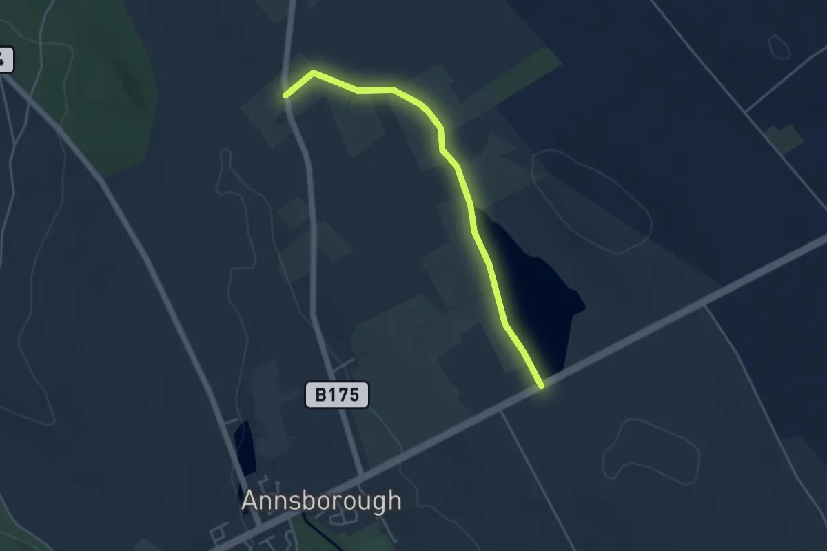
Easy · Trail
McSherry's Lane
3.5 km · ↑ 17 m · 52 min
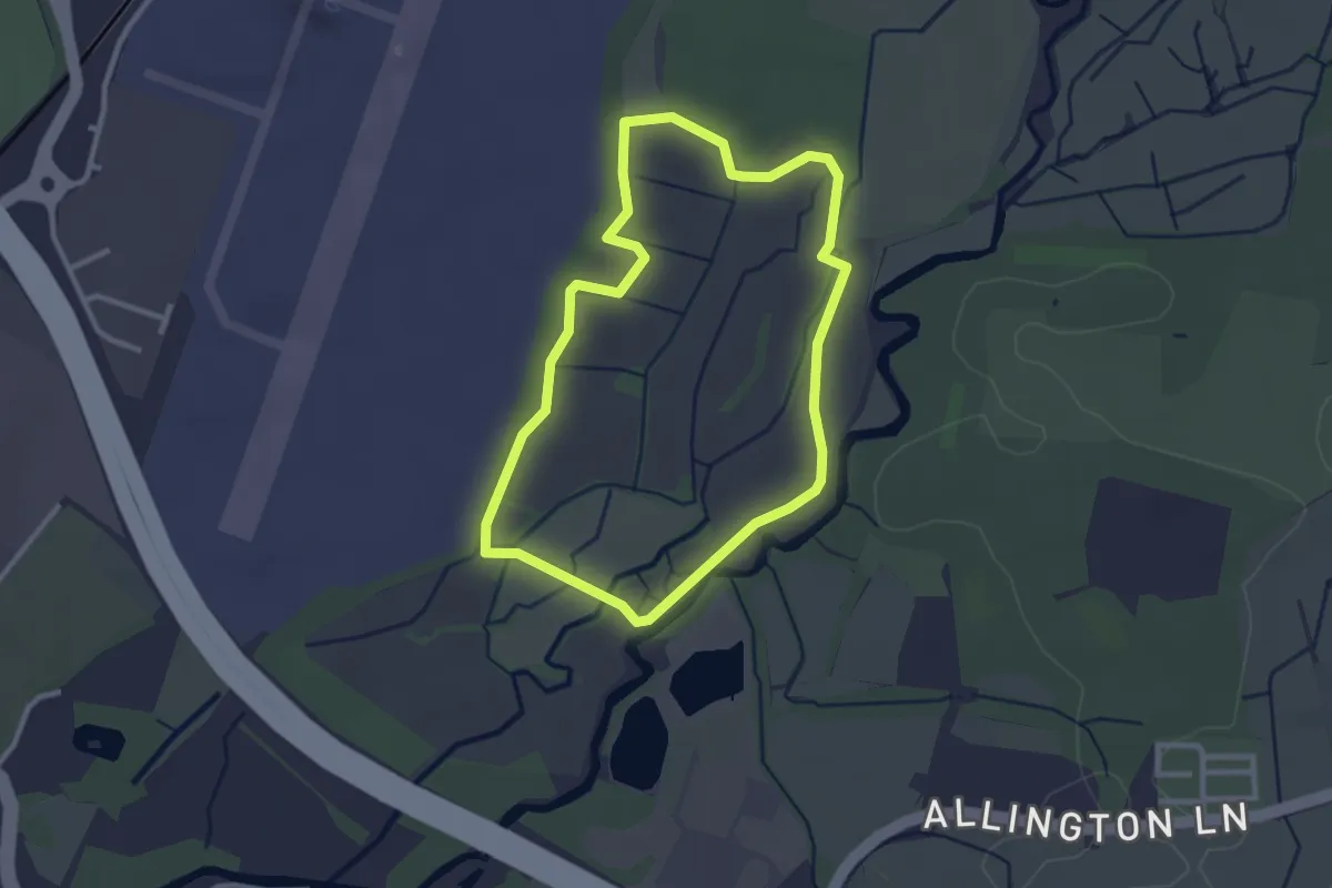
Easy · Trail
Meadow Nature Trail
2.4 km · ↑ 0 m · 36 min
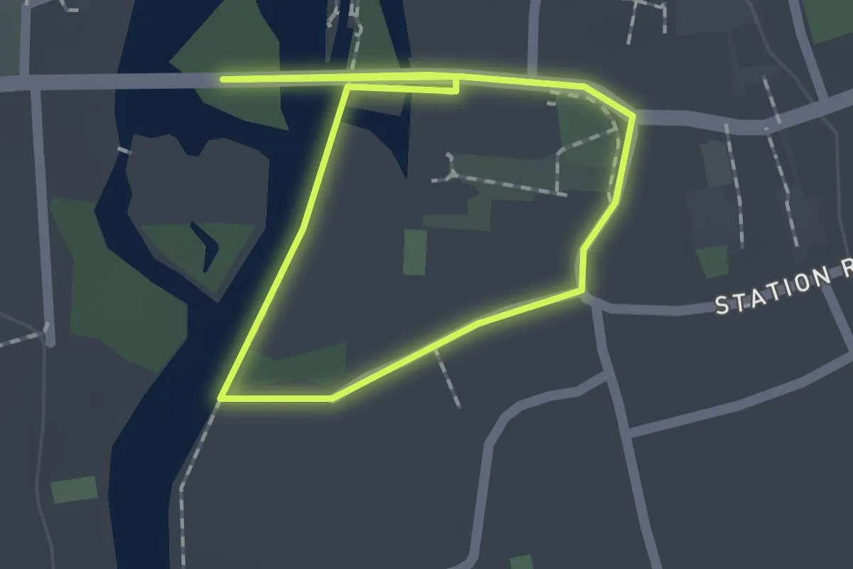
Easy · Trail
Meadows and Woodlands of Streatley Walk, Goring Gap
1.3 km · ↑ 4 m · 20 min
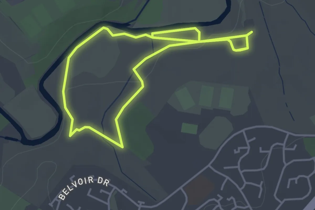
Easy · Trail
Meadow Trail
3.2 km · ↑ 37 m · 53 min
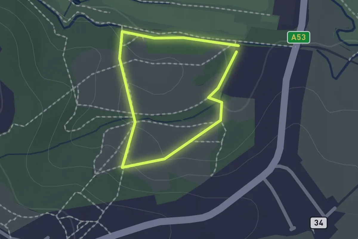
Easy · Trail
Meadow Walk Ladderedge Country Park (Purple Arrows)
1.1 km · ↑ 25 m · 19 min
Easy · Trail
Meal Beach and Hamnavoe Circular
4.3 km · ↑ 34 m · 1 h 9 min
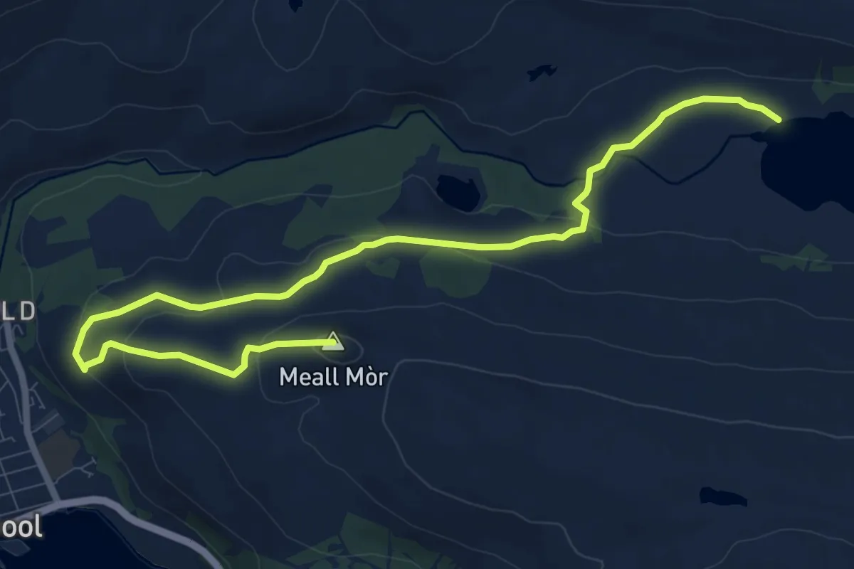
Medium · Summit
Meall Mor Trail
9.9 km · ↑ 315 m · 3 h 2 min
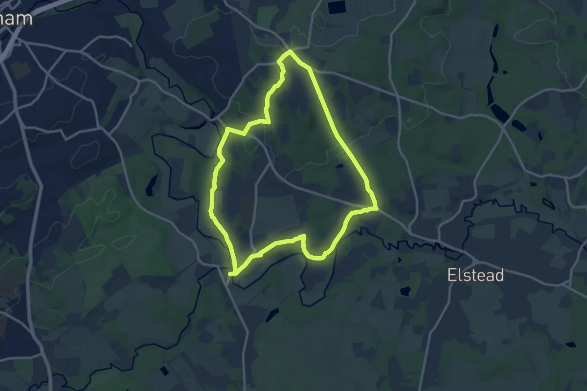
Medium · Trail
Medieval Waverley (SCC)
9.3 km · ↑ 184 m · 2 h 43 min
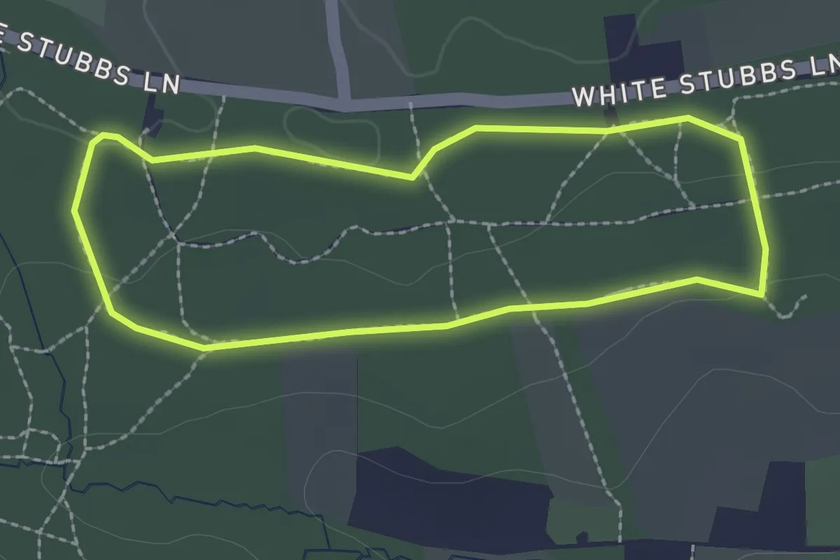
Easy · Trail
Medium Trail
1.9 km · ↑ 24 m · 31 min
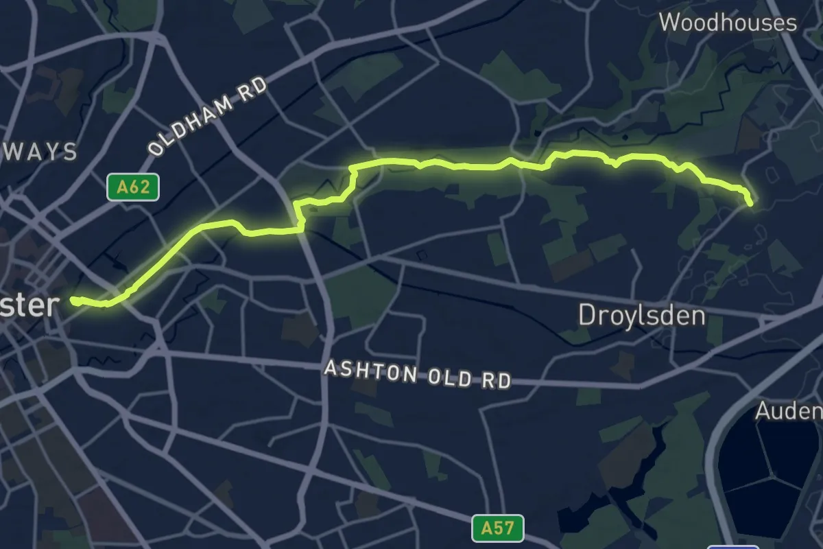
Medium · Trail
Medlock Valley Way
16.1 km · ↑ 122 m · 4 h 3 min
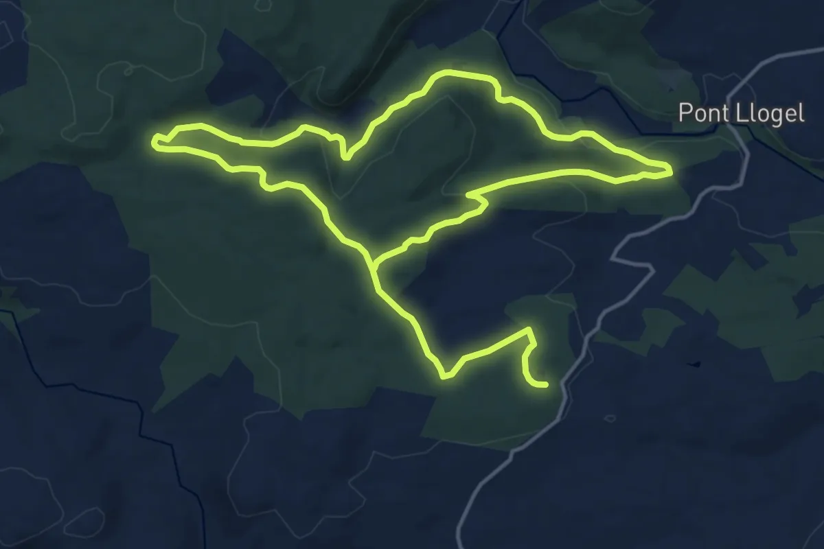
Demanding · Trail
Melangell
23.9 km · ↑ 547 m · 6 h 50 min
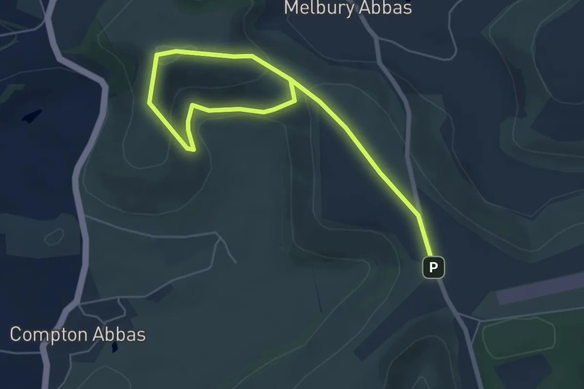
Easy · Summit
Melbury Beacon walk, Fontmell and Melbury Downs
3.2 km · ↑ 105 m · 1 h 3 min
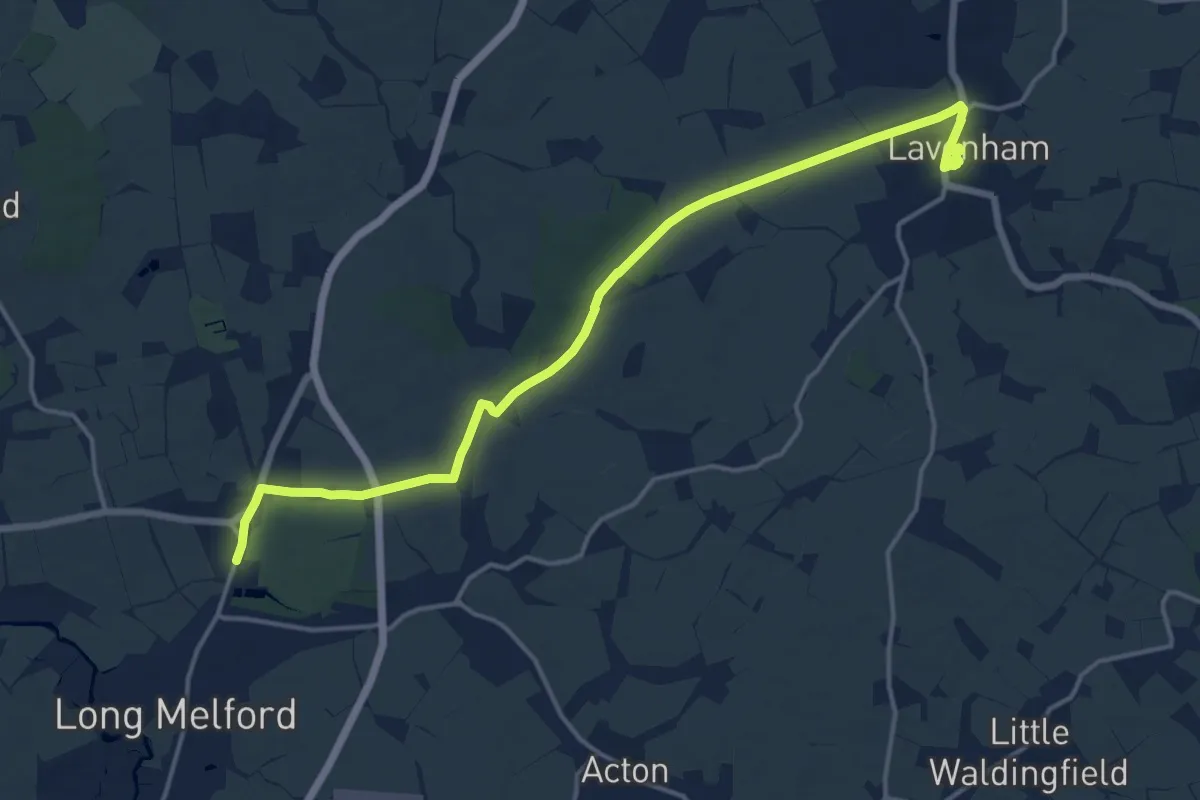
Medium · Trail
Melford Hall to Lavenham Railway Walk, Melford Hall and Lavenham Guildhall
15.5 km · ↑ 104 m · 3 h 53 min
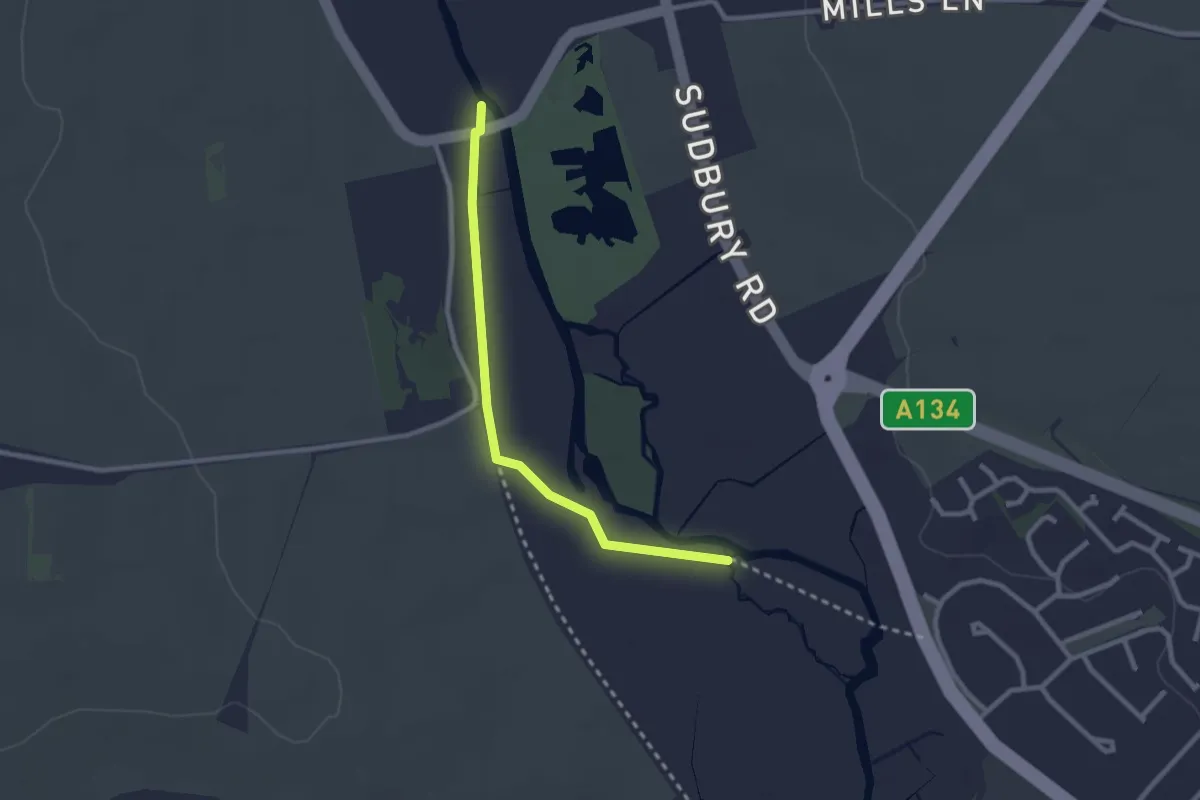
Easy · Trail
Melford Hall to Sudbury Mill Walk, Melford Hall
2.2 km · ↑ 0 m · 31 min
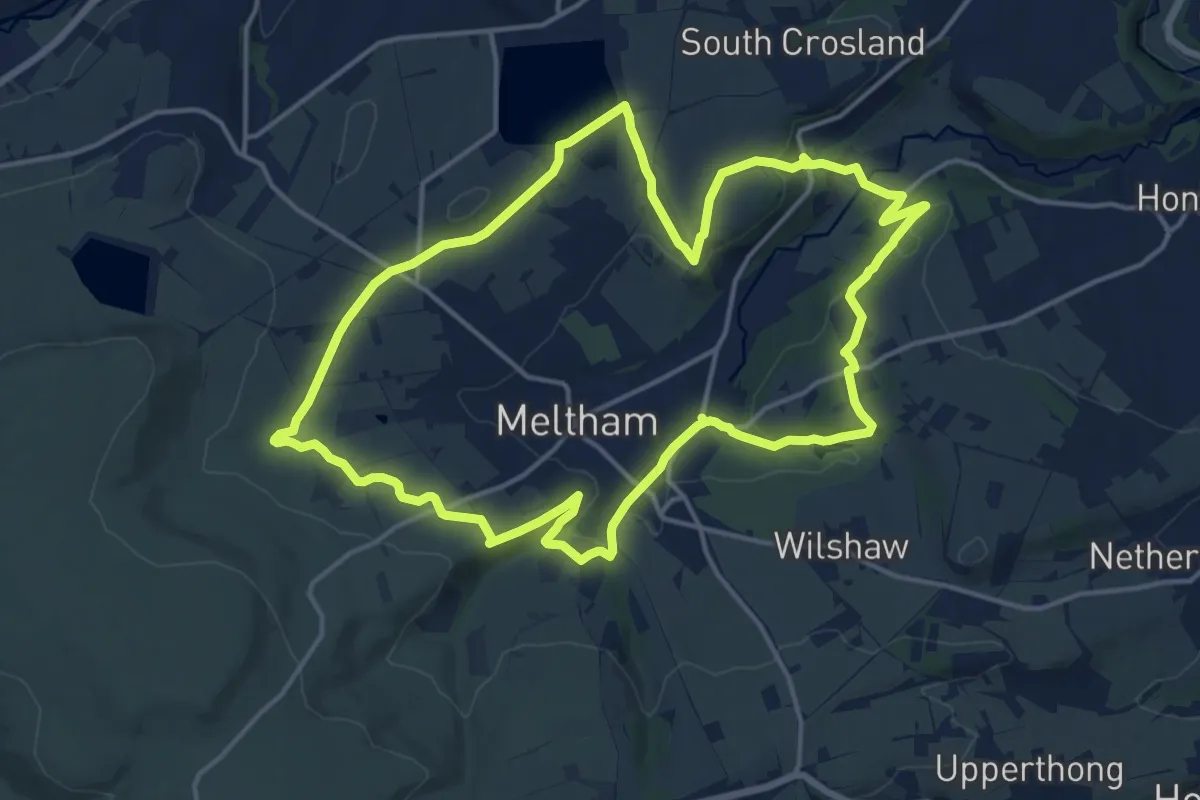
Medium · Trail
Meltham Way
14.0 km · ↑ 285 m · 4 h 6 min
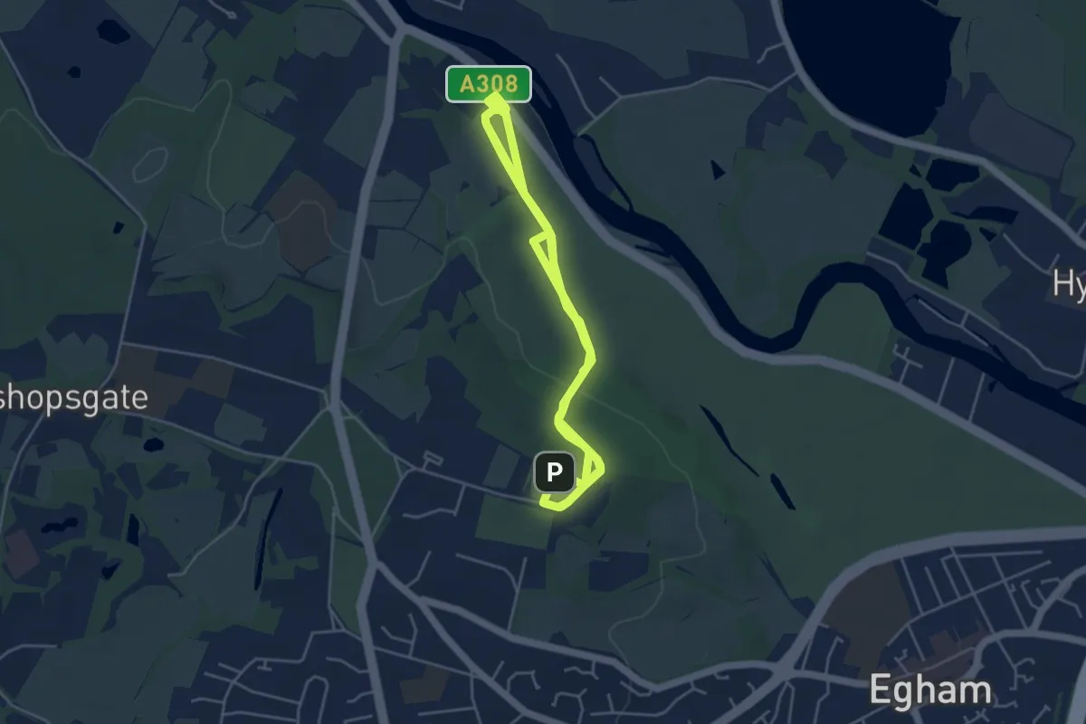
Easy · Trail
Memorial Route, Runnymede
4.9 km · ↑ 21 m · 1 h 19 min
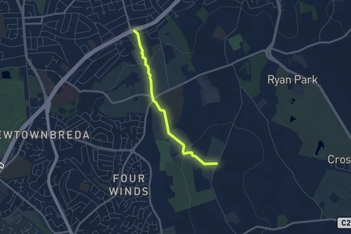
Easy · Trail
Memories of Castlereagh Heritage Trail
4.5 km · ↑ 138 m · 1 h 22 min
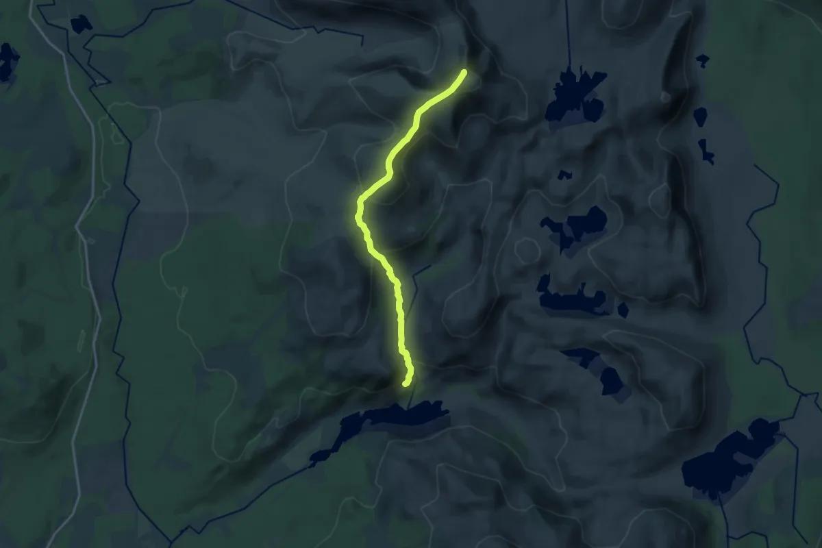
Demanding · Summit
Merrick Trail
12.6 km · ↑ 828 m · 4 h 46 min
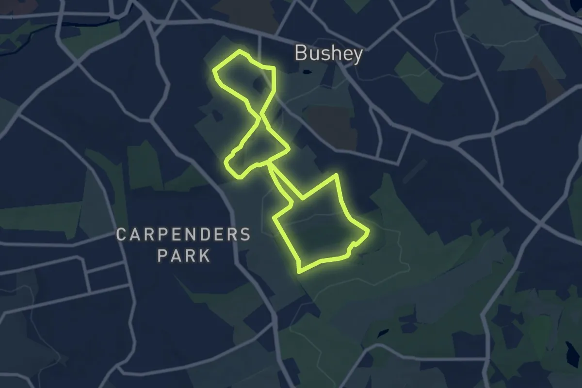
Easy · Trail
Merry Hill Circular Footpath
6.3 km · ↑ 80 m · 1 h 45 min
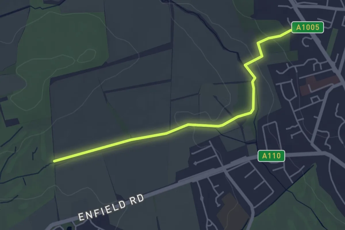
Easy · Trail
Merryhills Way
4.0 km · ↑ 41 m · 1 h 2 min
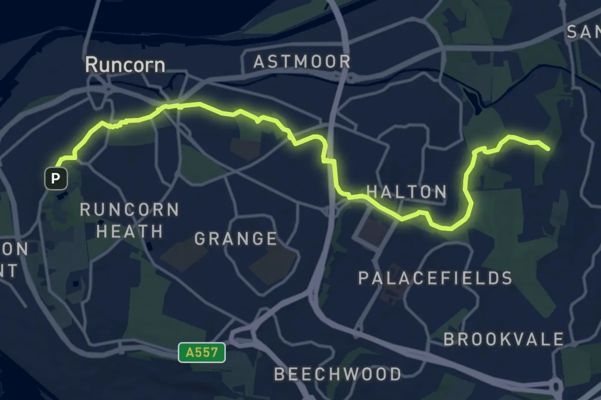
Medium · Summit
Mersey Valley Timberland Trail
13.8 km · ↑ 136 m · 3 h 33 min
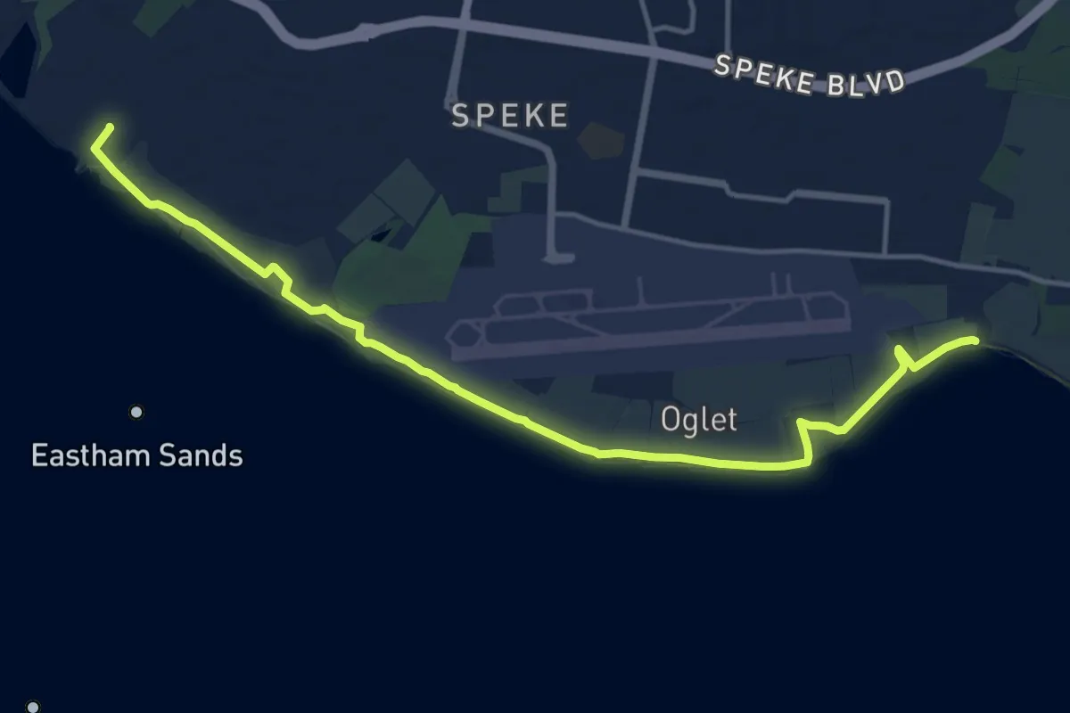
Medium · Trail
Mersey Way
13.1 km · ↑ 13 m · 3 h 7 min
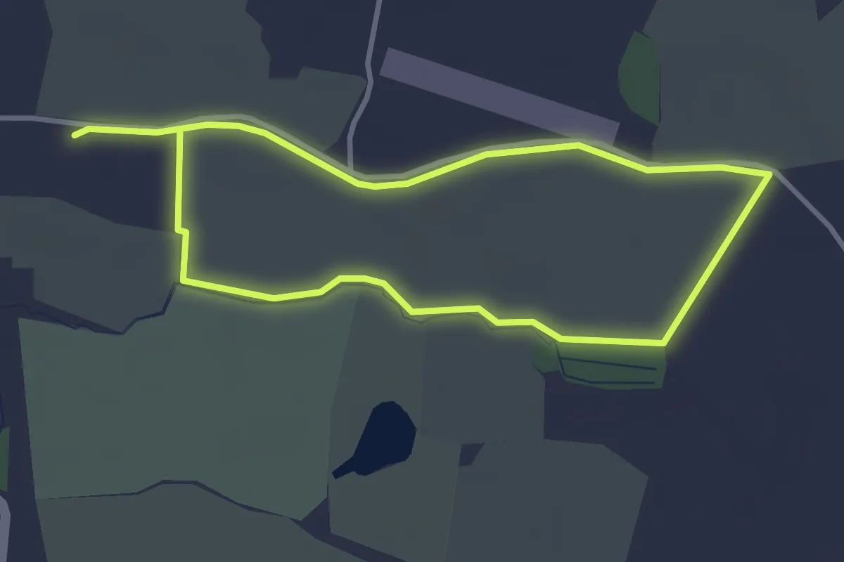
Easy · Trail
Messuage Lane Nature Walk
5.0 km · ↑ 9 m · 1 h 11 min
Easy · Trail
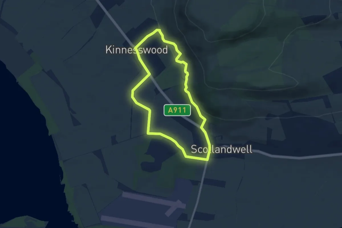
Michael Bruce Way
4.9 km · ↑ 141 m · 1 h 32 min
Easy · Trail
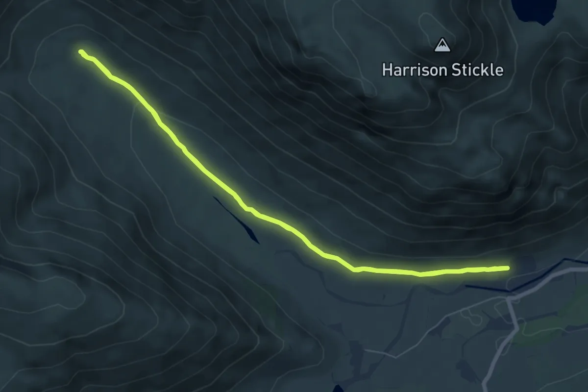
Mickleden Valley Trail, Grasmere Great Langdale
5.7 km · ↑ 61 m · 1 h 34 min
Easy · Trail
Mid Dale and North Pund
2.5 km · ↑ 130 m · 52 min
Medium · Trail
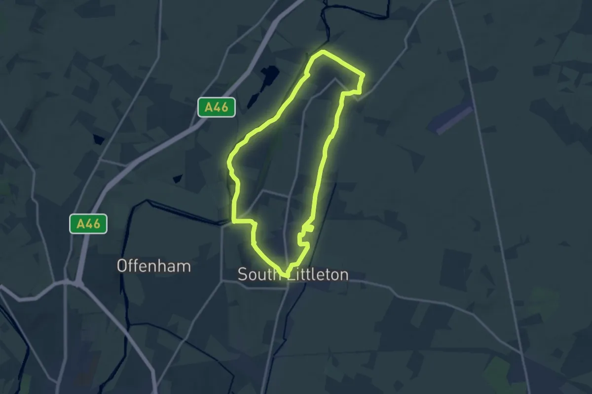
Middle Littleton Tithe Barn Walk, Middle Littleton
10.3 km · ↑ 85 m · 2 h 45 min
Easy · Trail
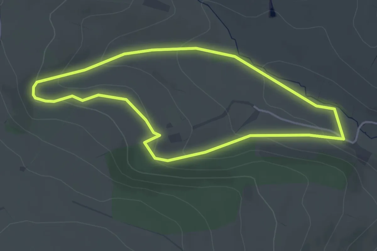
Middle Woodbatch Circular
3.3 km · ↑ 128 m · 1 h 6 min
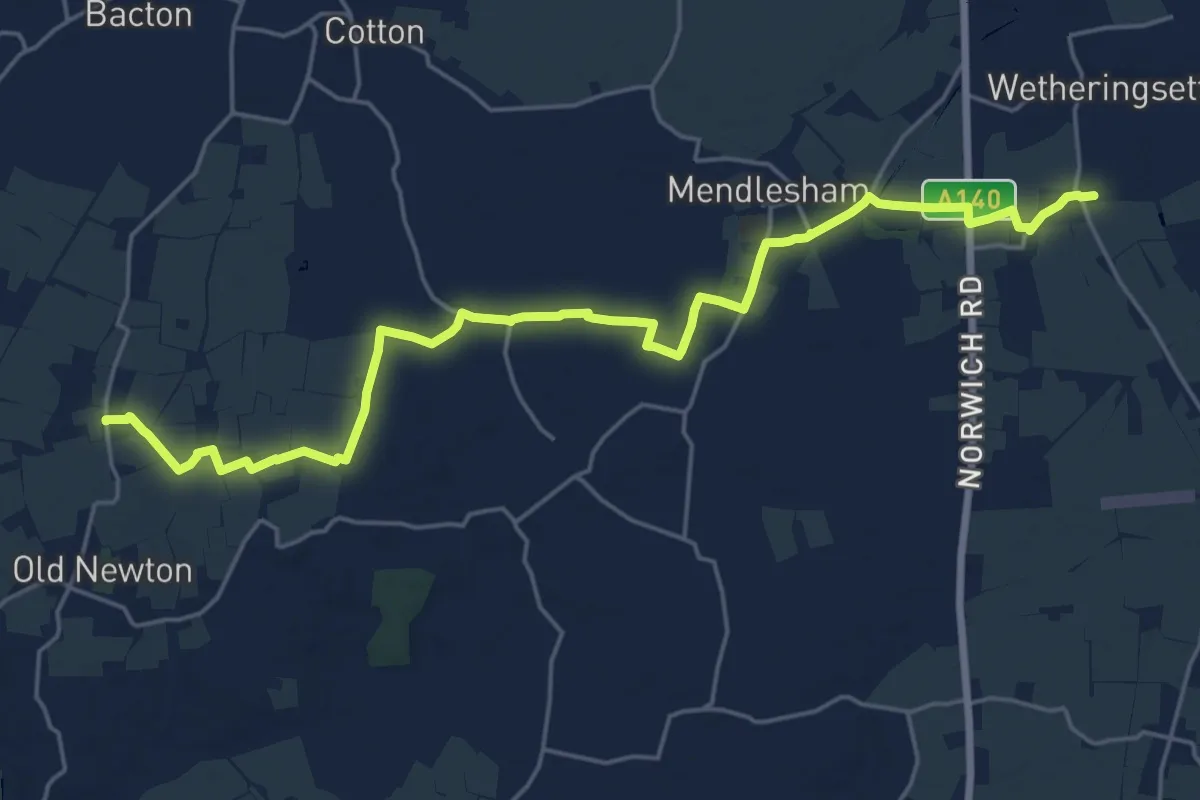
Demanding · Trail
Middy Railway Footpath
21.1 km · ↑ 56 m · 5 h 6 min
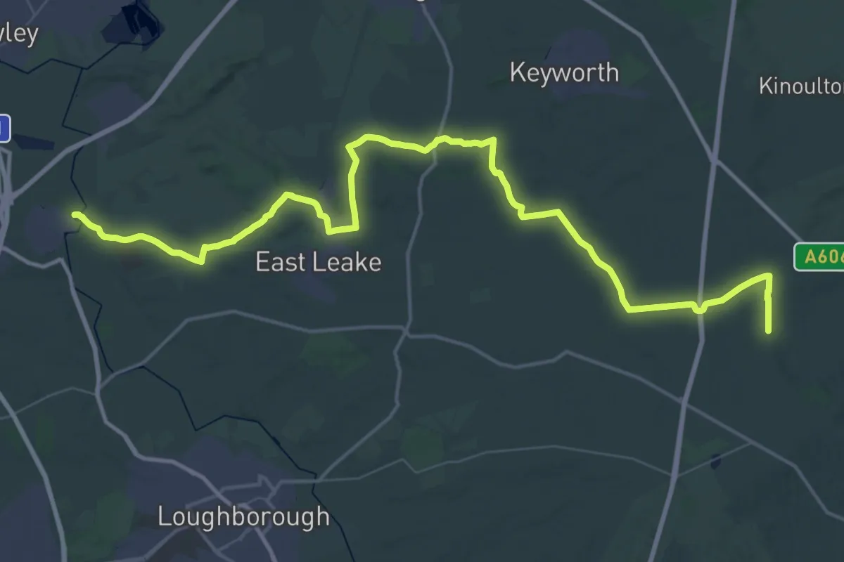
Demanding · Trail
Midshires Way
26.7 km · ↑ 223 m · 7 h 7 min
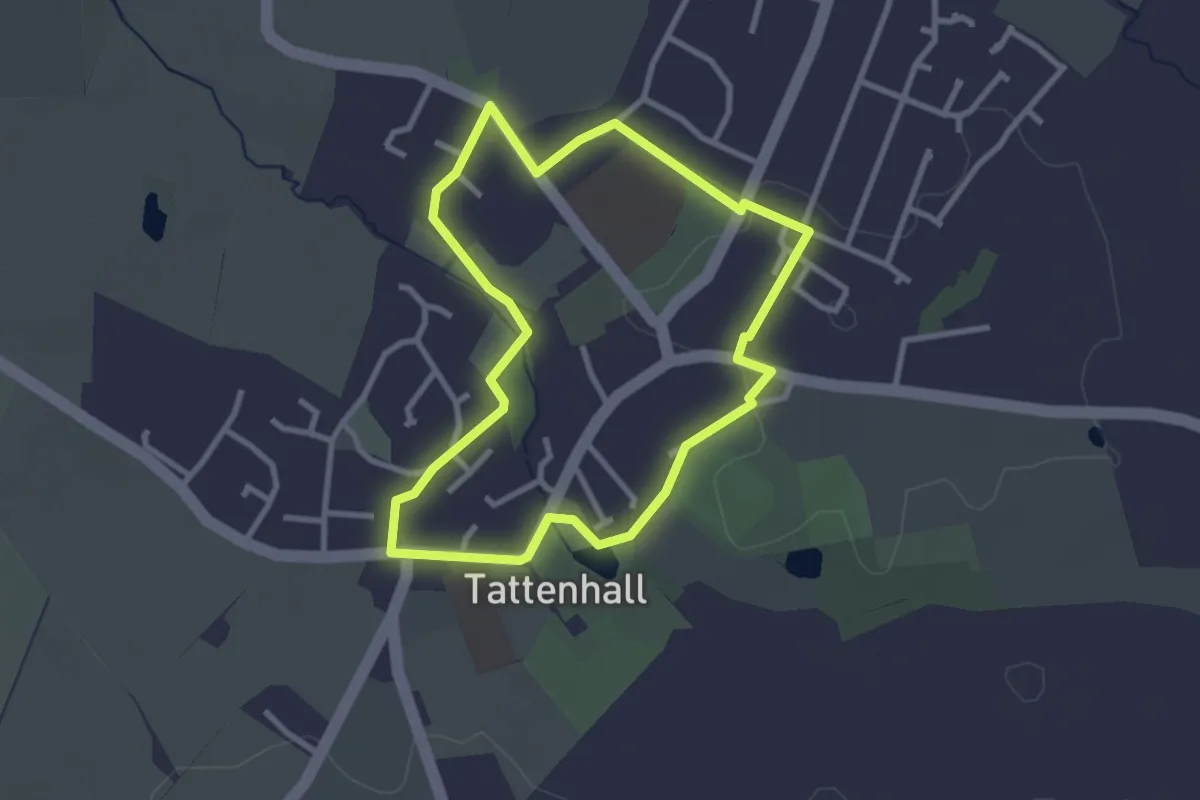
Easy · Trail
Milennium Mile
2.4 km · ↑ 4 m · 37 min
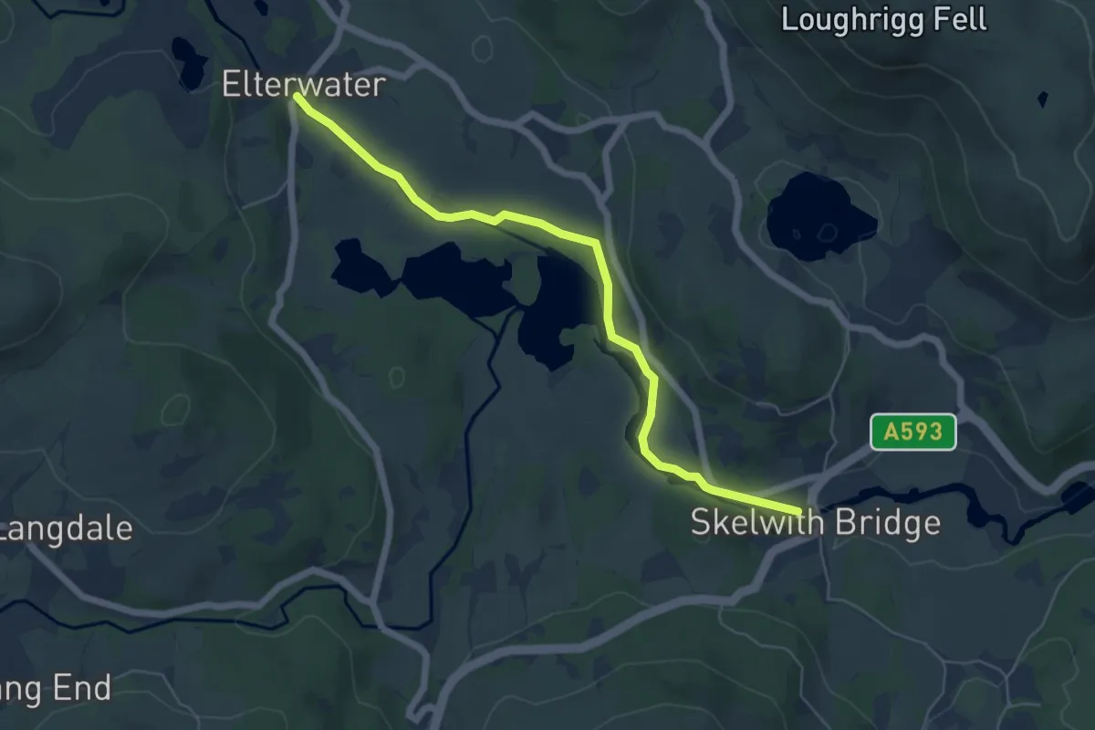
Easy · Trail
Miles without Stiles: Elterwater to Skelwith Bridge
4.9 km · ↑ 15 m · 1 h 12 min
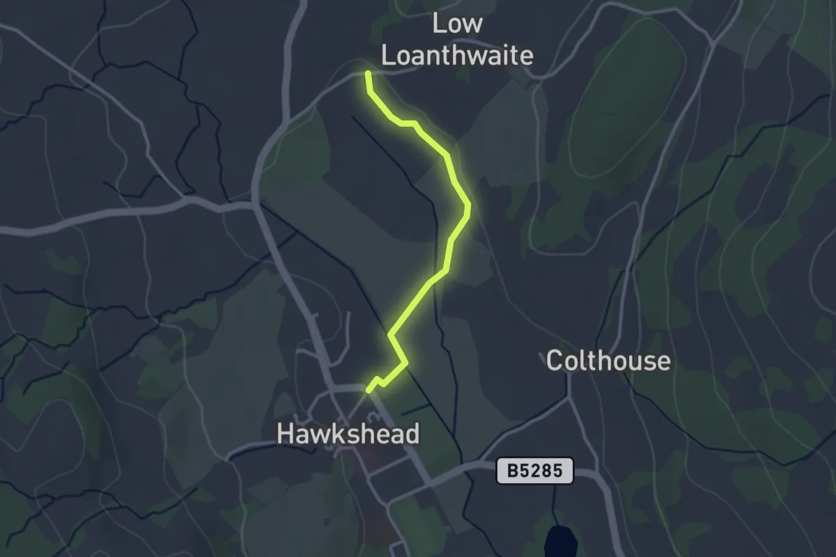
Easy · Trail
Miles without Stiles: Hawkshead to Loanthwaite Lane
2.1 km · ↑ 5 m · 30 min
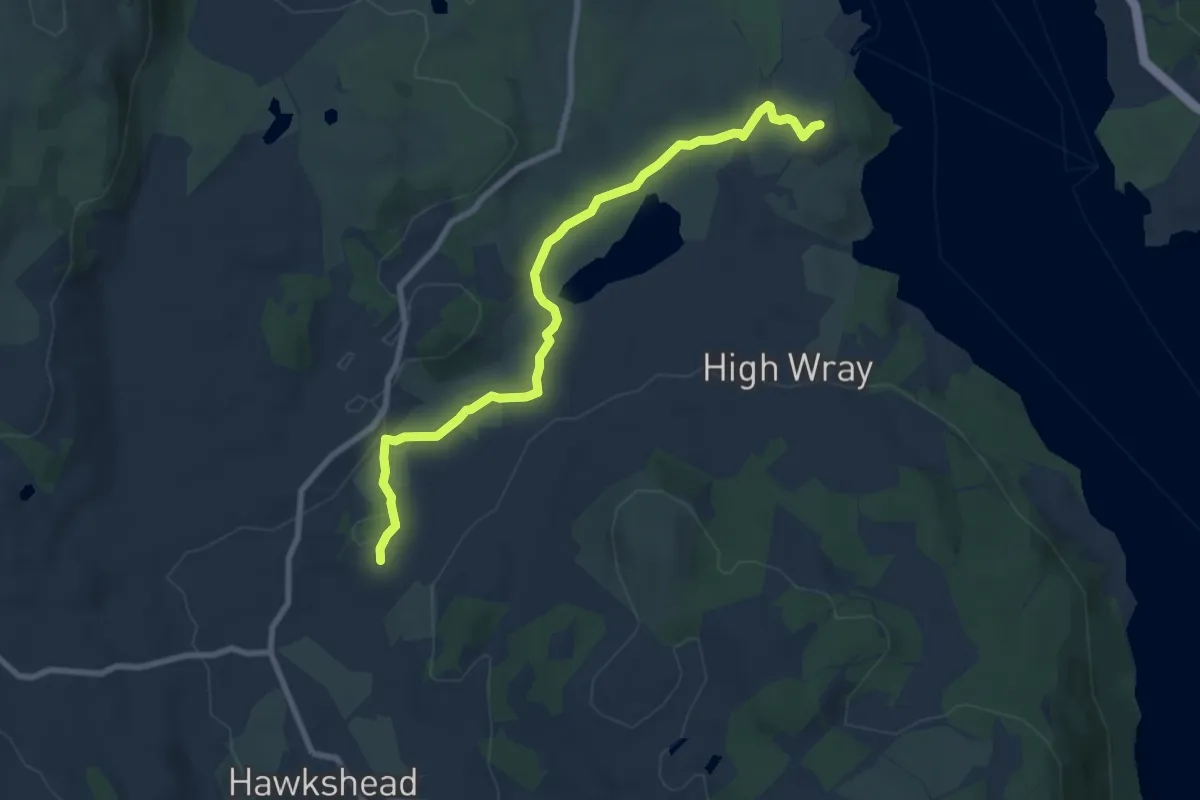
Easy · Trail
Miles without Stiles: Wray Castle to Loanthwaite
7.2 km · ↑ 78 m · 1 h 52 min
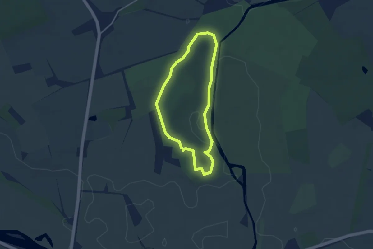
Easy · Trail
Mile Walk, Attingham Park
2.2 km · ↑ 5 m · 34 min
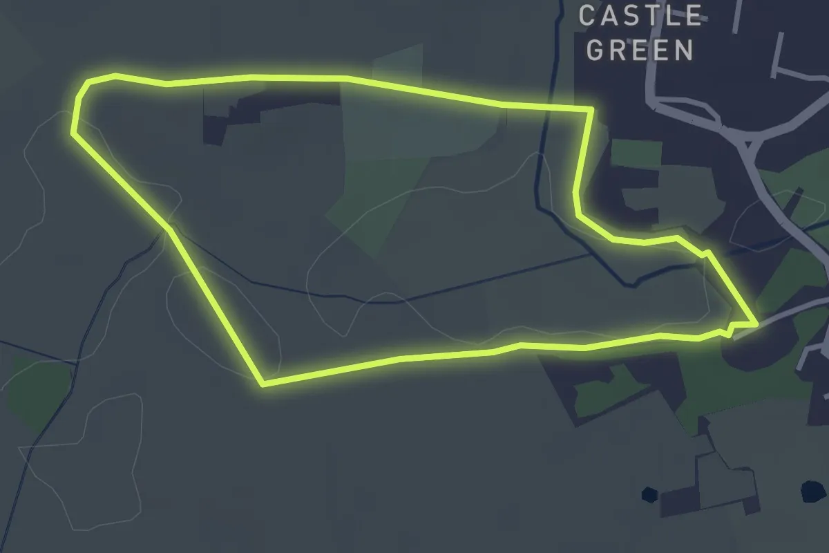
Easy · Trail
Millennium Trail
2.8 km · ↑ 10 m · 43 min
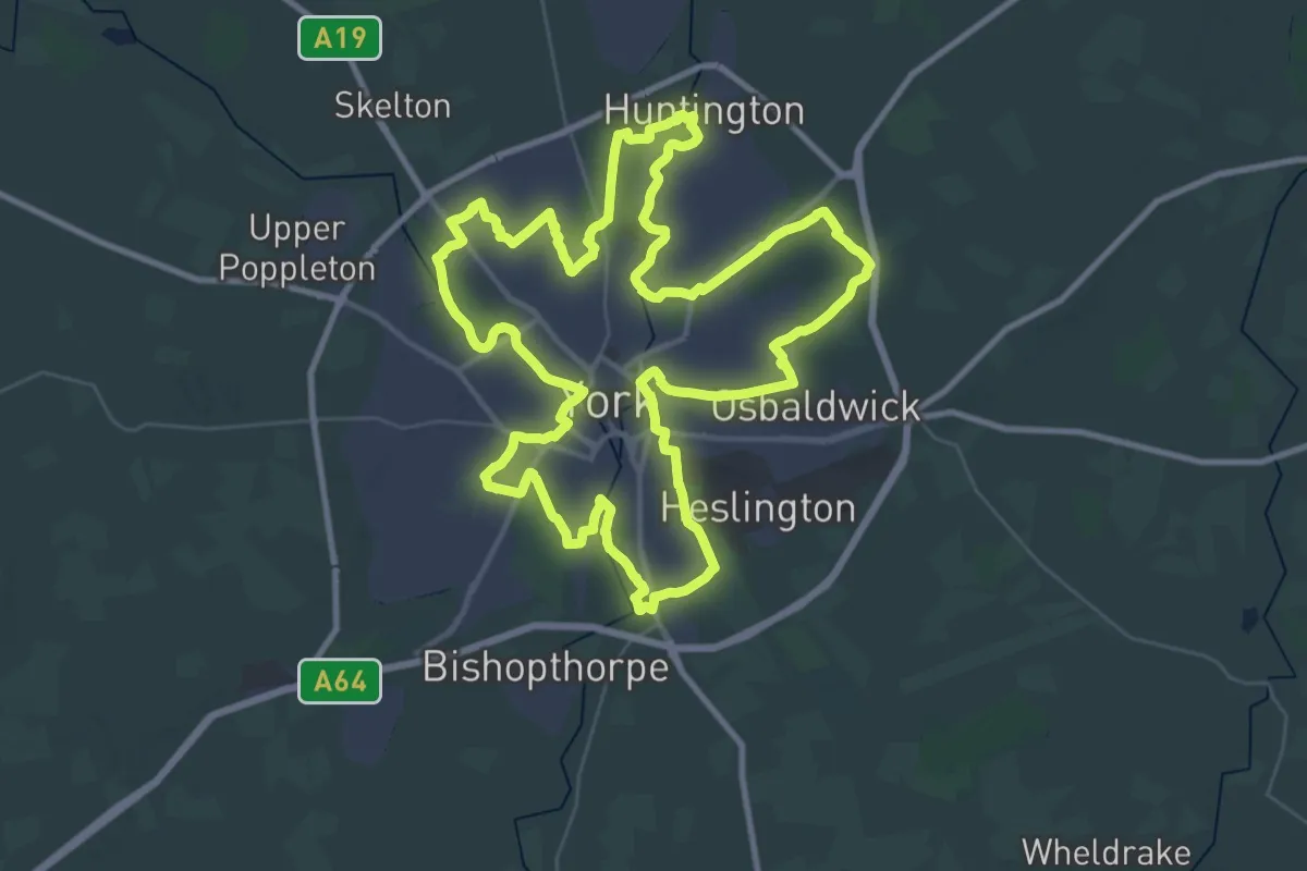
Demanding · Trail
Millennium Way
38.0 km · ↑ 45 m · 9 h 36 min
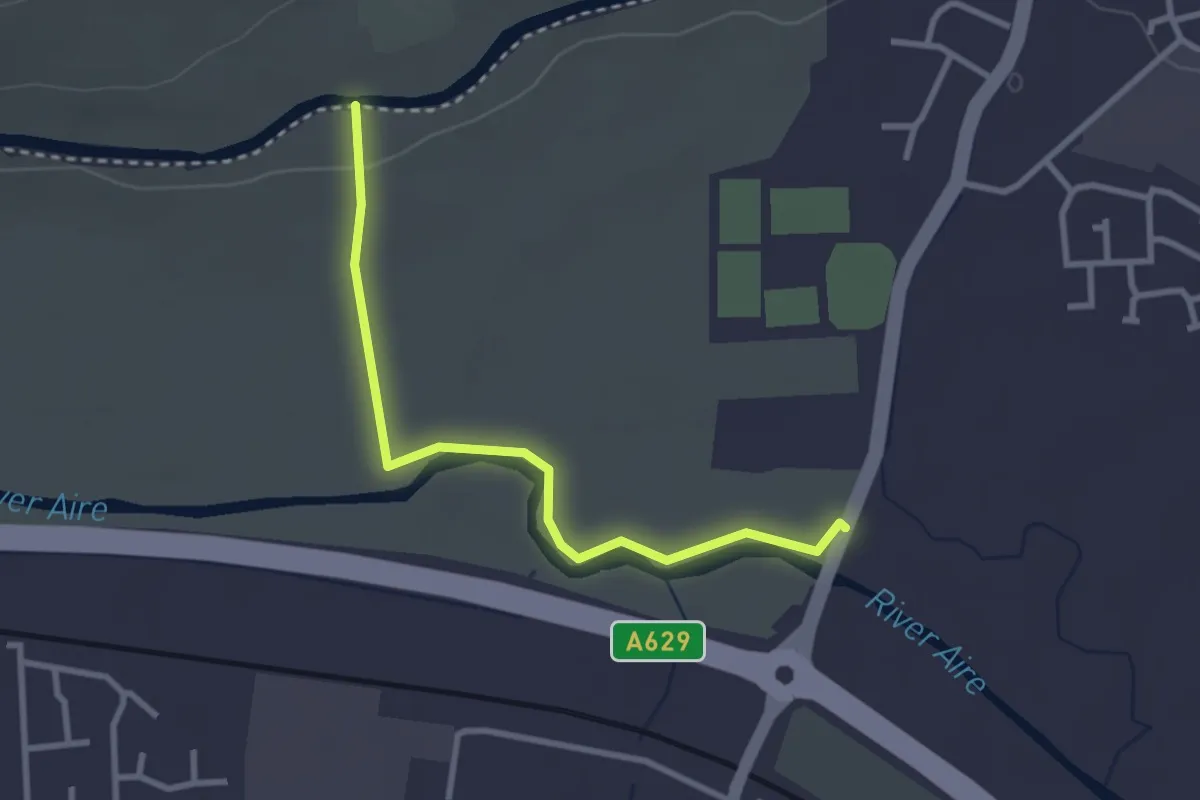
Easy · Trail
Millennium Way Circular Walk 12
2.5 km · ↑ 15 m · 38 min
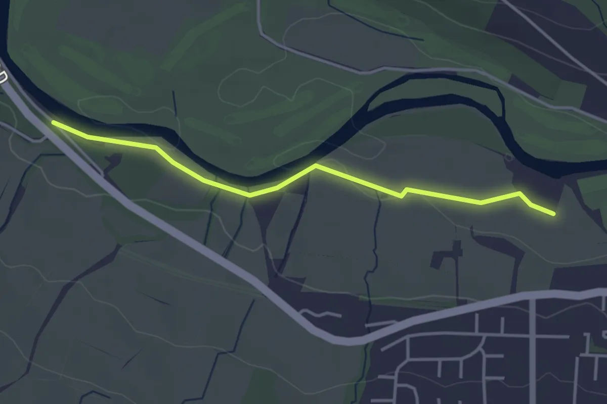
Easy · Trail
Millennium Way Circular Walk 14
3.1 km · ↑ 13 m · 45 min
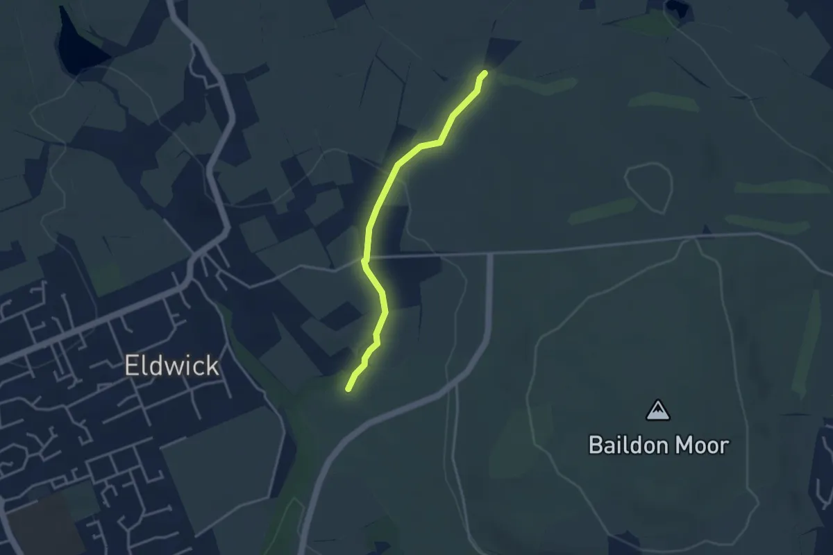
Easy · Trail
Millennium Way Circular Walk 16
2.6 km · ↑ 42 m · 42 min