Trails in United Kingdom
3,857 hiking trails, each with its route, climb, walking time and grade.
All trails, page 47 of 81
Easy · Trail
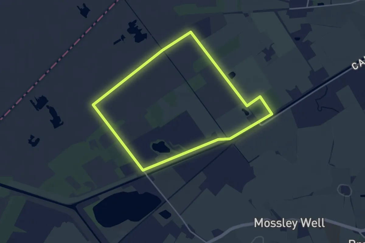
Mosses Trail Yellow
3.0 km · ↑ 0 m · 45 min
Easy · Trail
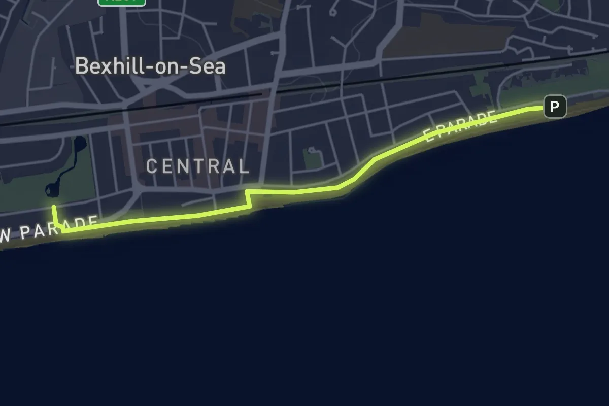
Motoring Heritage Trail
4.1 km · ↑ 0 m · 58 min
Medium · Summit
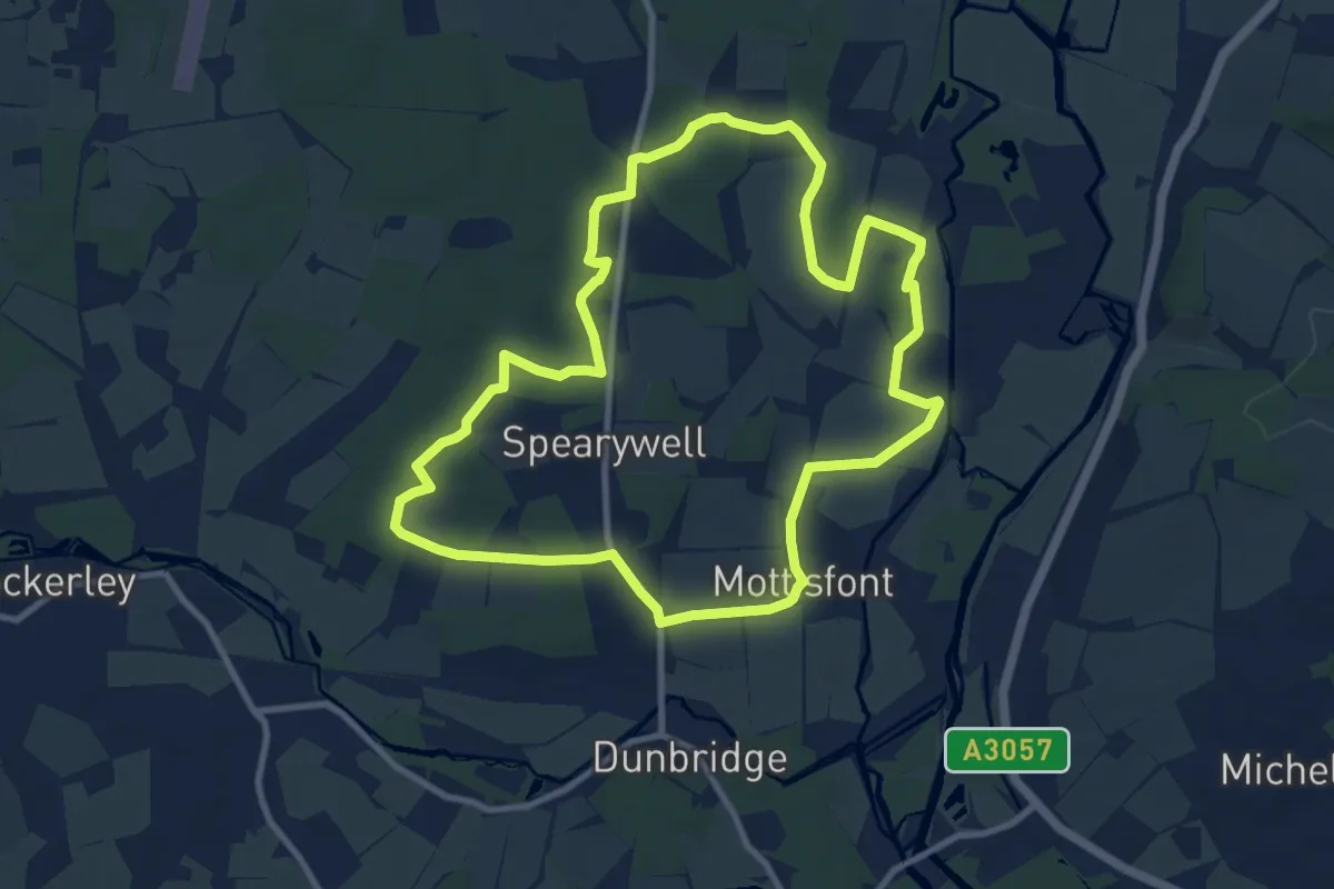
Mottisfont Estate Walk, Mottisfont
9.1 km · ↑ 96 m · 2 h 29 min
Easy · Trail
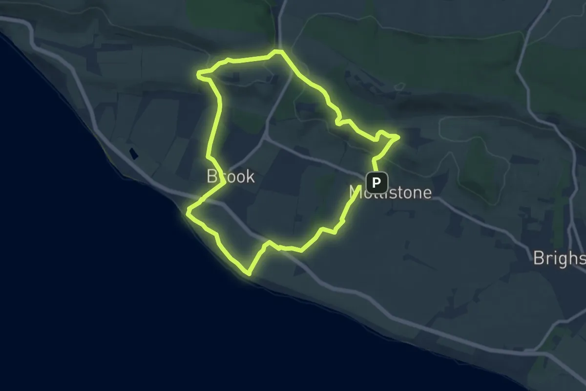
Mottistone Trial, Mottistone
7.7 km · ↑ 157 m · 2 h 16 min
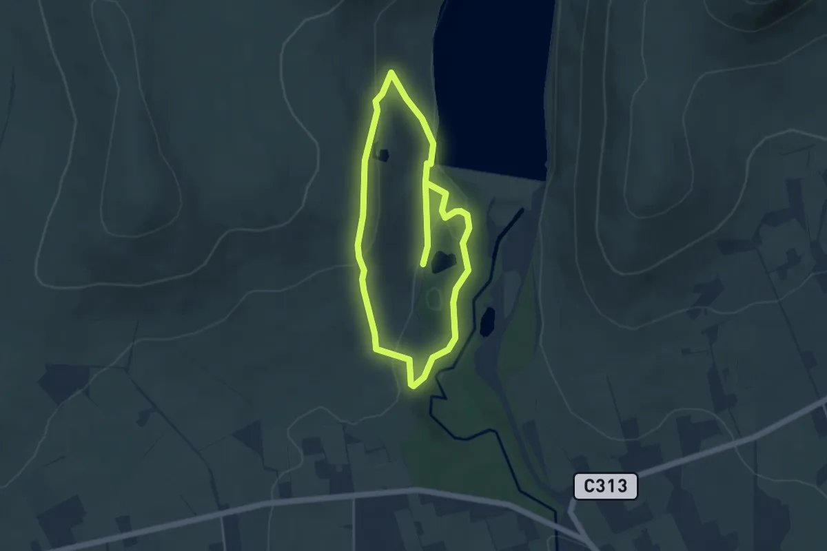
Easy · Trail
Mountain Tail
3.2 km · ↑ 94 m · 1 h
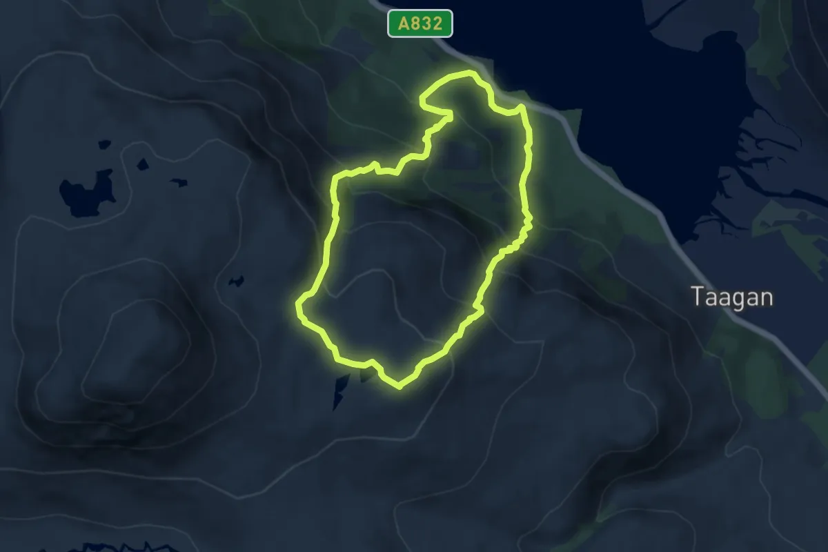
Medium · Summit
Mountain Trail - Beinn Eighe
6.0 km · ↑ 539 m · 2 h 40 min
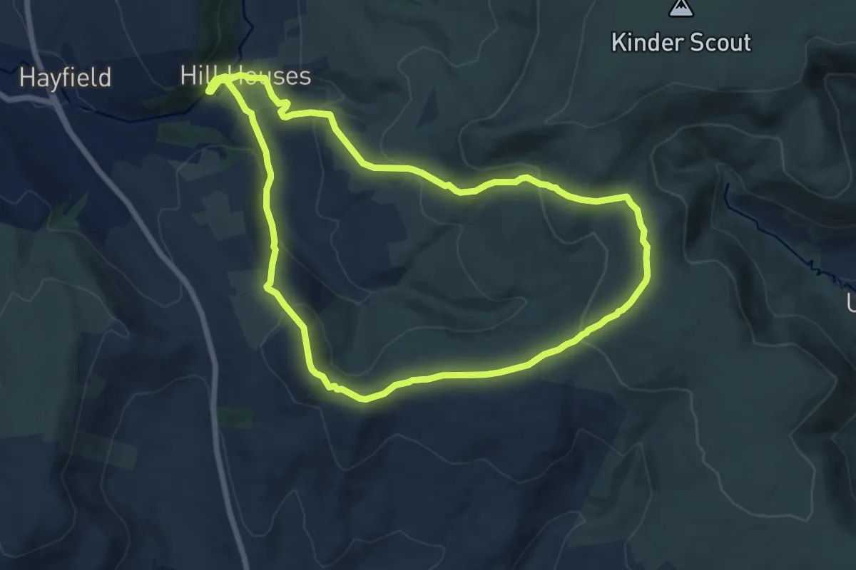
Medium · Summit
Mount Famine, South Head and Brown Knoll (Ethels), High Peak
10.1 km · ↑ 426 m · 3 h 27 min
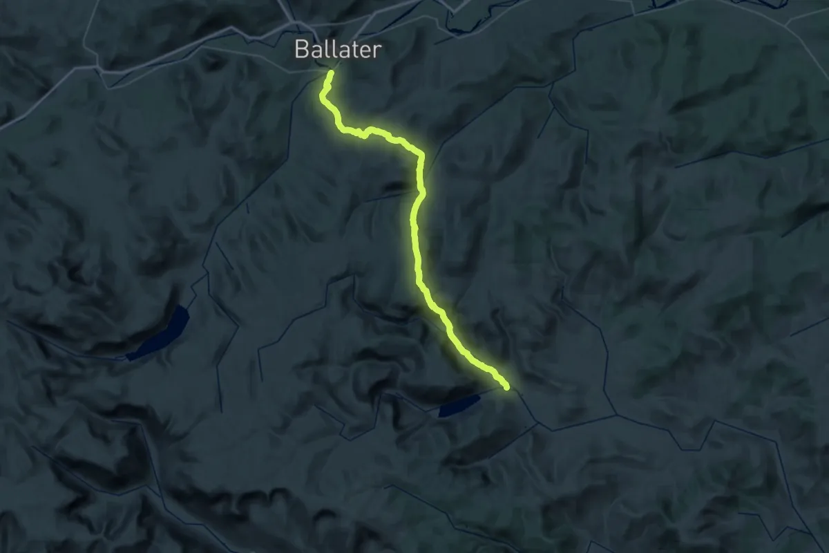
Demanding · Trail
Mounth Road
20.5 km · ↑ 822 m · 6 h 53 min
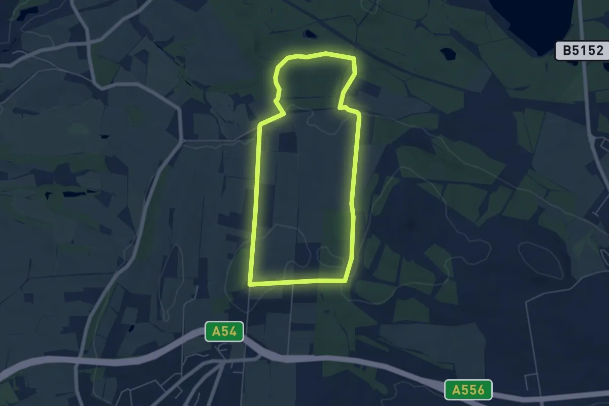
Easy · Trail
Mount Pleasant Circular Walk
4.5 km · ↑ 84 m · 1 h 18 min
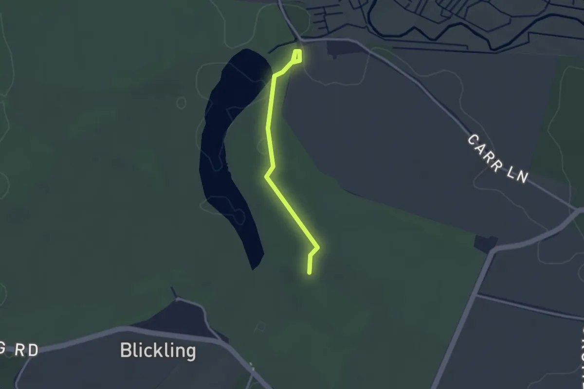
Easy · Trail
Mount Walk, Blickling Estate
2.1 km · ↑ 17 m · 32 min
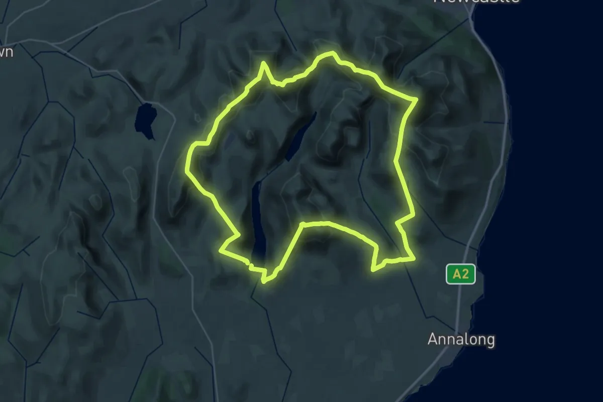
Demanding · Summit
Mourne Wall Challenge
30.5 km · ↑ 2452 m · 12 h 58 min
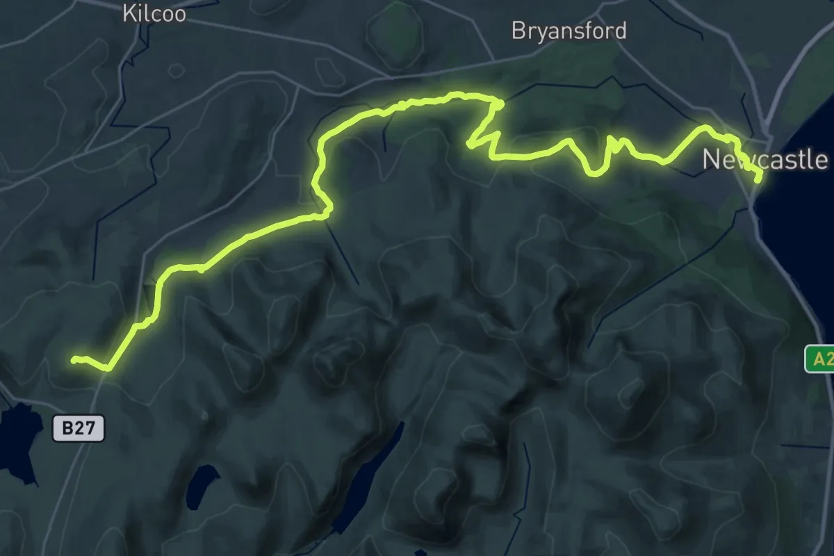
Demanding · Summit
Mourne Way
34.3 km · ↑ 944 m · 10 h 9 min
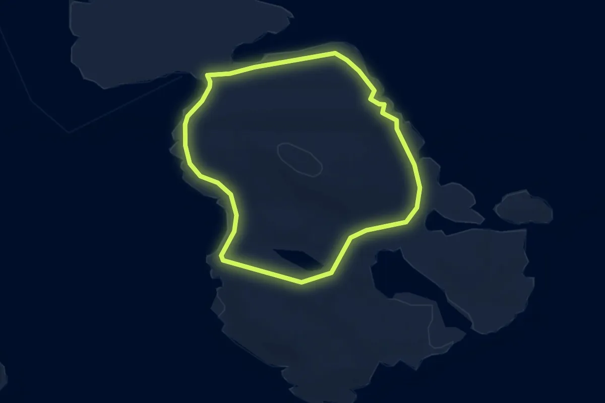
Easy · Trail
Mousa
3.2 km · ↑ 60 m · 57 min
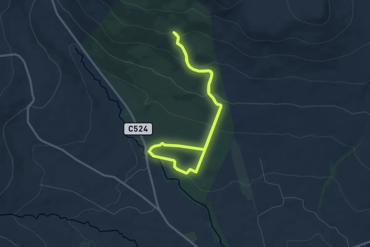
Easy · Trail
Moydamlaght Forest - Eagles Rock Trail
4.9 km · ↑ 206 m · 1 h 40 min
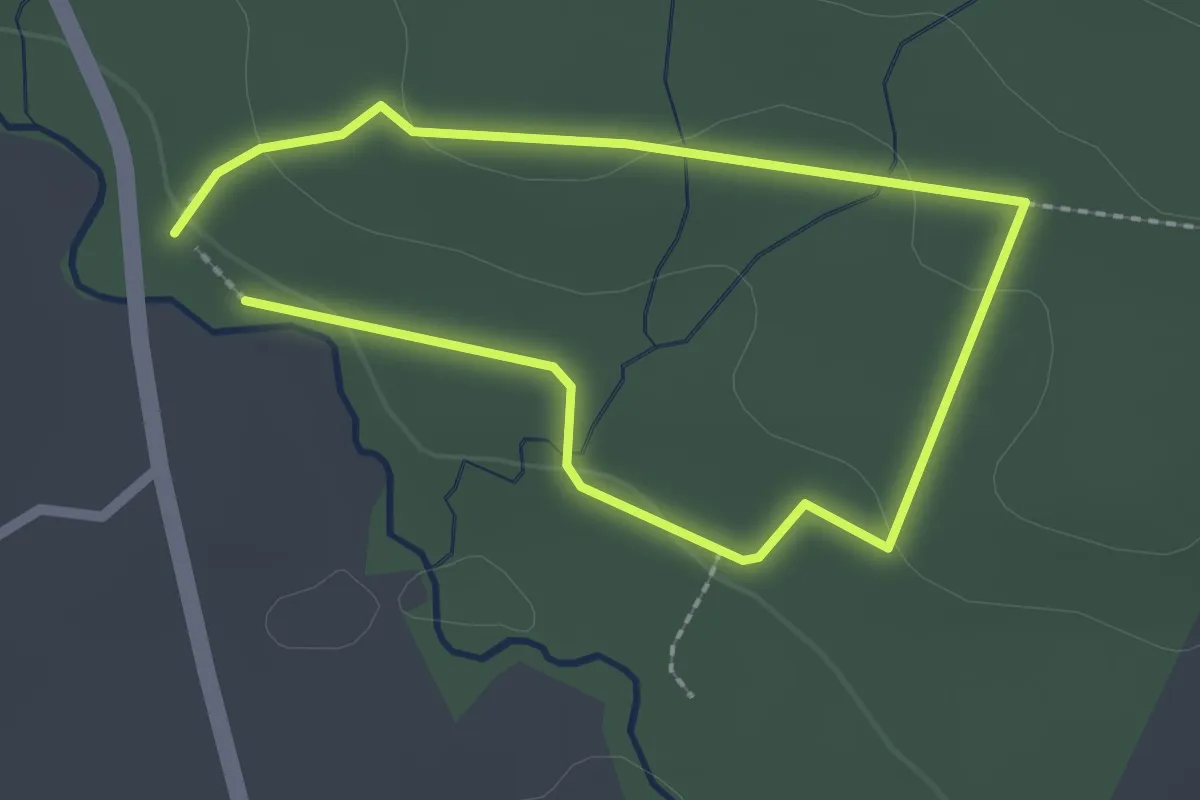
Easy · Trail
Moydamlaght Forest - Short Trail
1.5 km · ↑ 24 m · 26 min
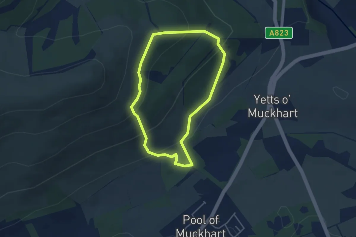
Easy · Trail
Muckhart loop
2.5 km · ↑ 152 m · 57 min
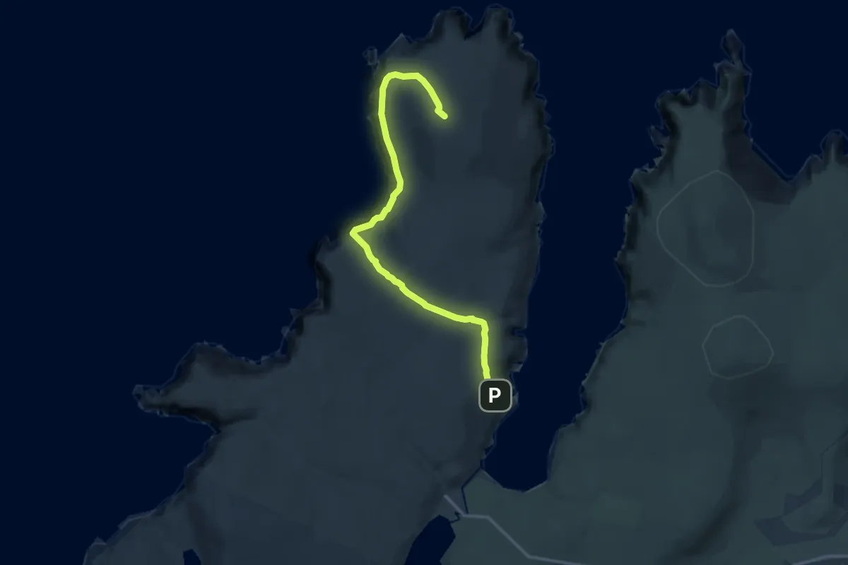
Medium · Summit
Muckle Flugga Trail
9.7 km · ↑ 447 m · 3 h 15 min
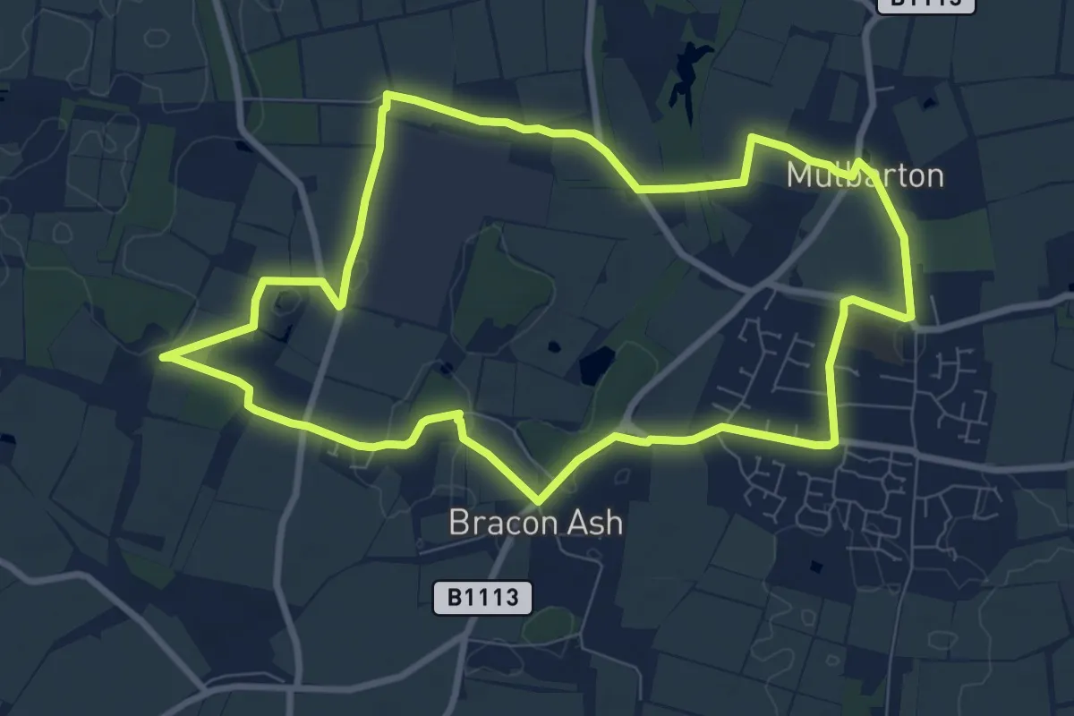
Easy · Trail
Mulbarton’s Old Witch Trail
7.6 km · ↑ 17 m · 1 h 57 min
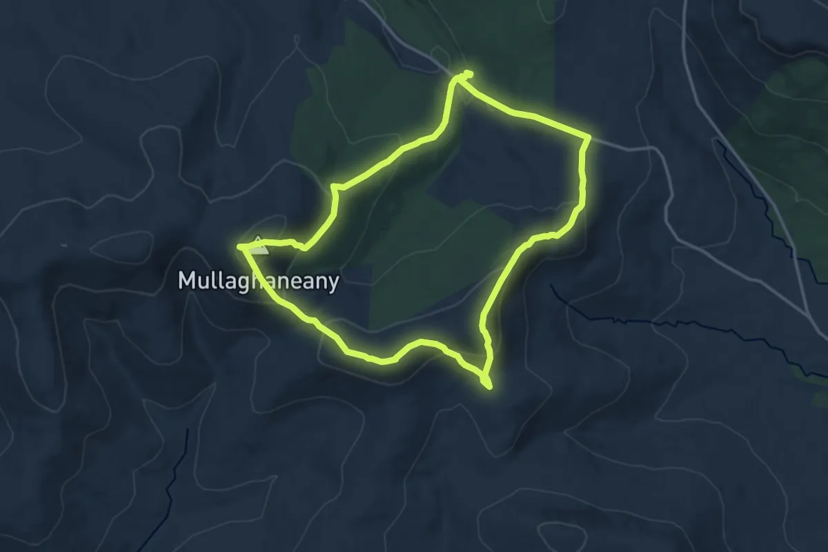
Medium · Summit
Mullaghaneany
11.4 km · ↑ 545 m · 4 h 2 min
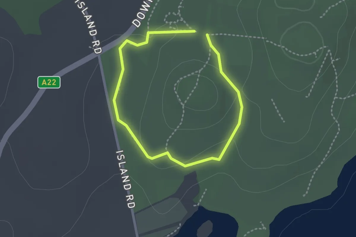
Easy · Trail
Mullagh Walk
1.3 km · ↑ 9 m · 21 min
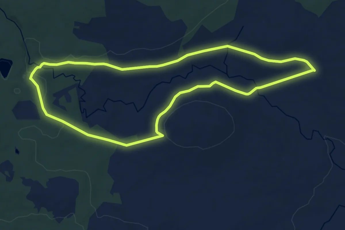
Medium · Trail
Mullyfa Trail
11.6 km · ↑ 146 m · 3 h 13 min
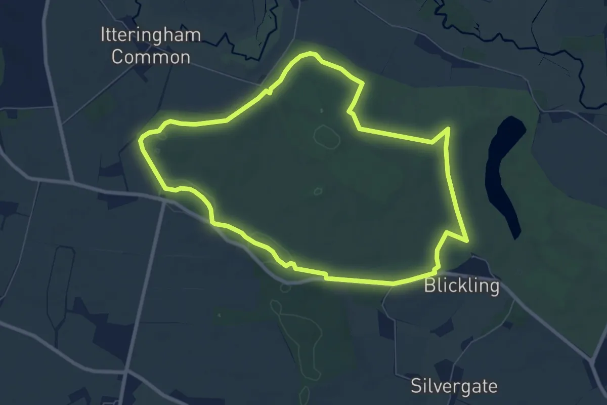
Easy · Trail
Multi-Use Trail, Blickling Estate
6.4 km · ↑ 39 m · 1 h 40 min
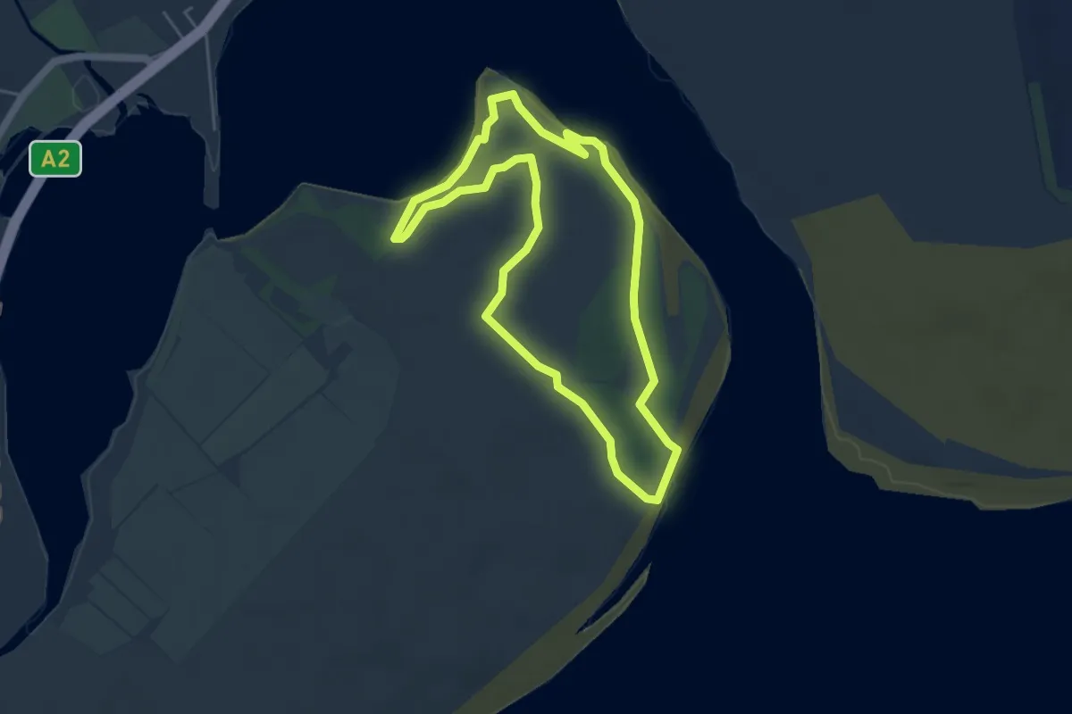
Easy · Trail
Murlough North Point Nature Trail, Murlough
3.9 km · ↑ 17 m · 1 h 1 min
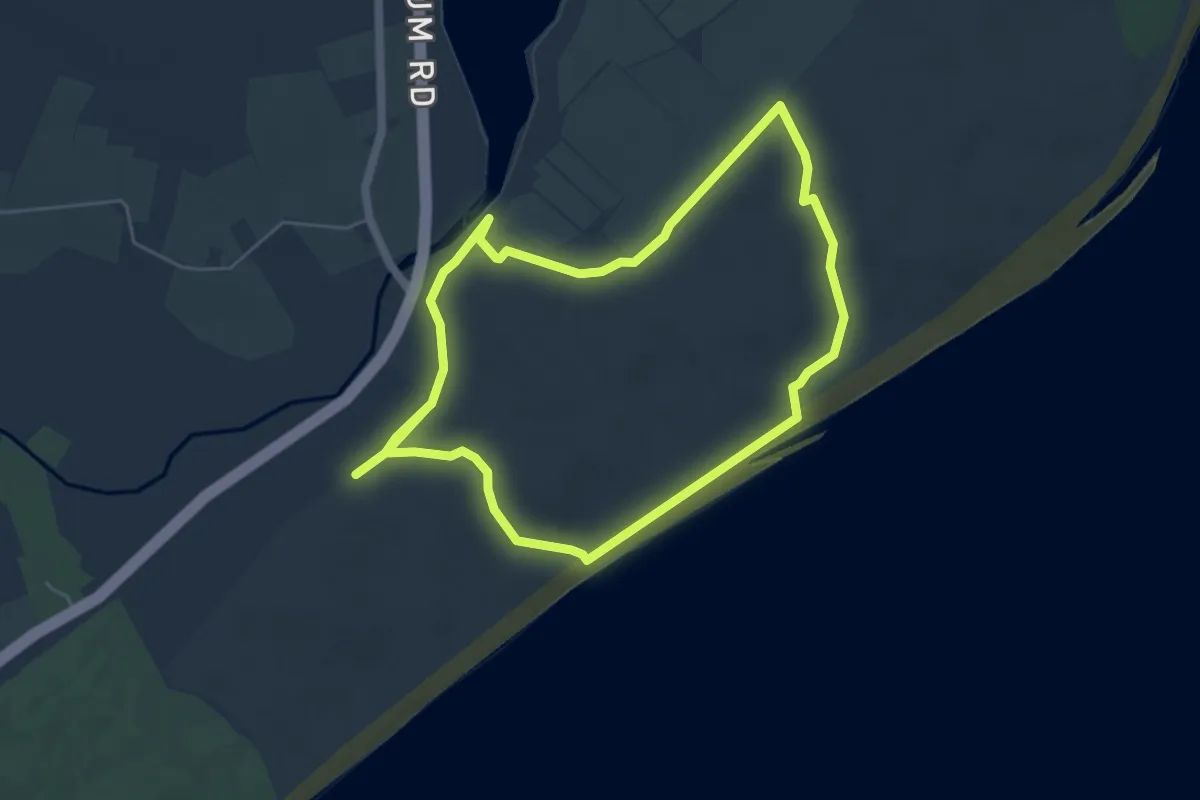
Easy · Trail
Murlough South End Nature Trail
4.2 km · ↑ 17 m · 1 h 6 min
Easy · Trail
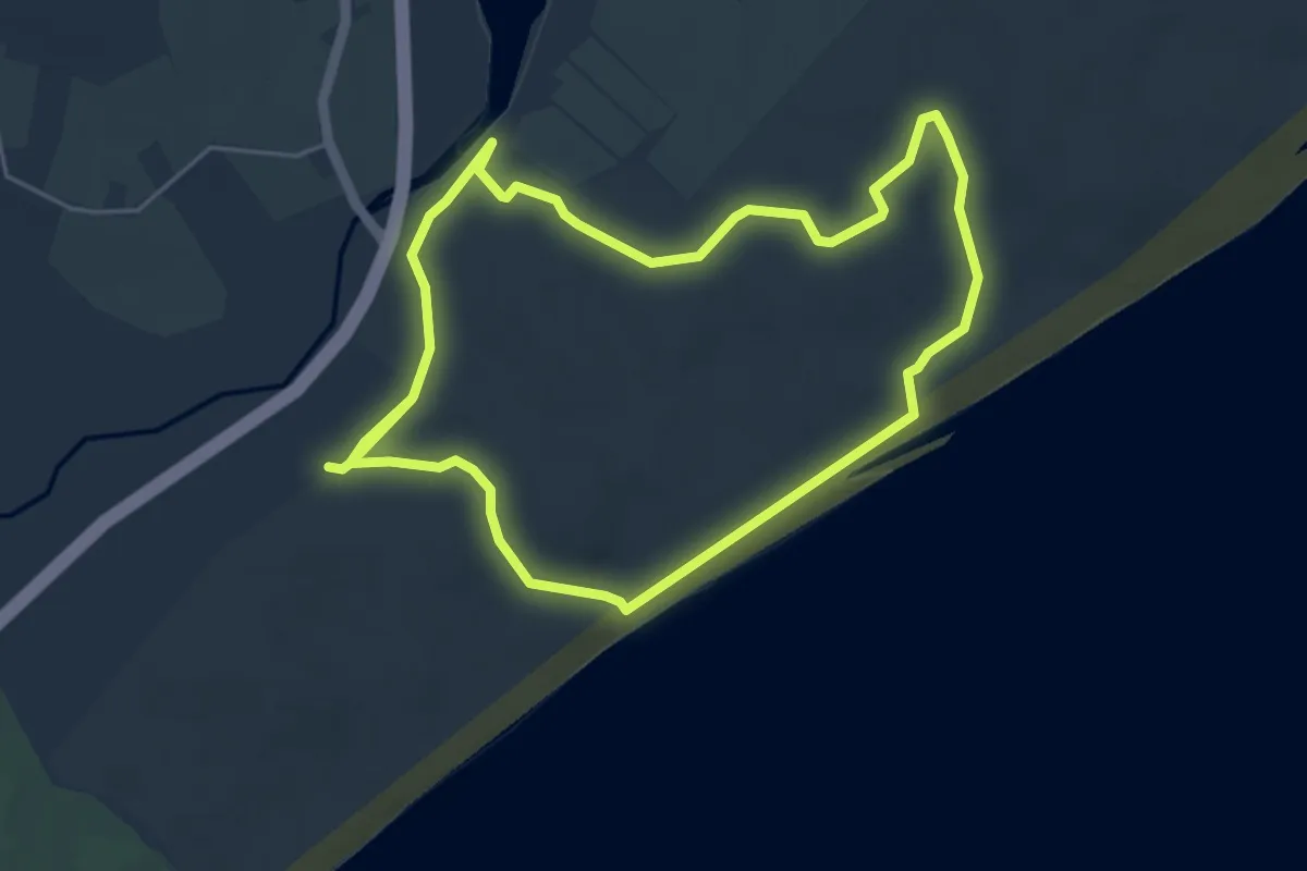
Murlough South End Nature Trail, Murlough
4.1 km · ↑ 18 m · 1 h 3 min
Easy · Trail
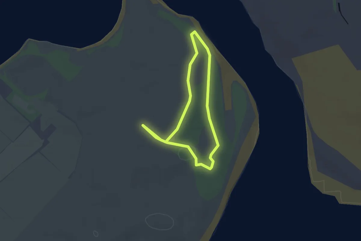
Murlough Woodland Walk, Murlough
2.0 km · ↑ 8 m · 32 min
Demanding · Summit
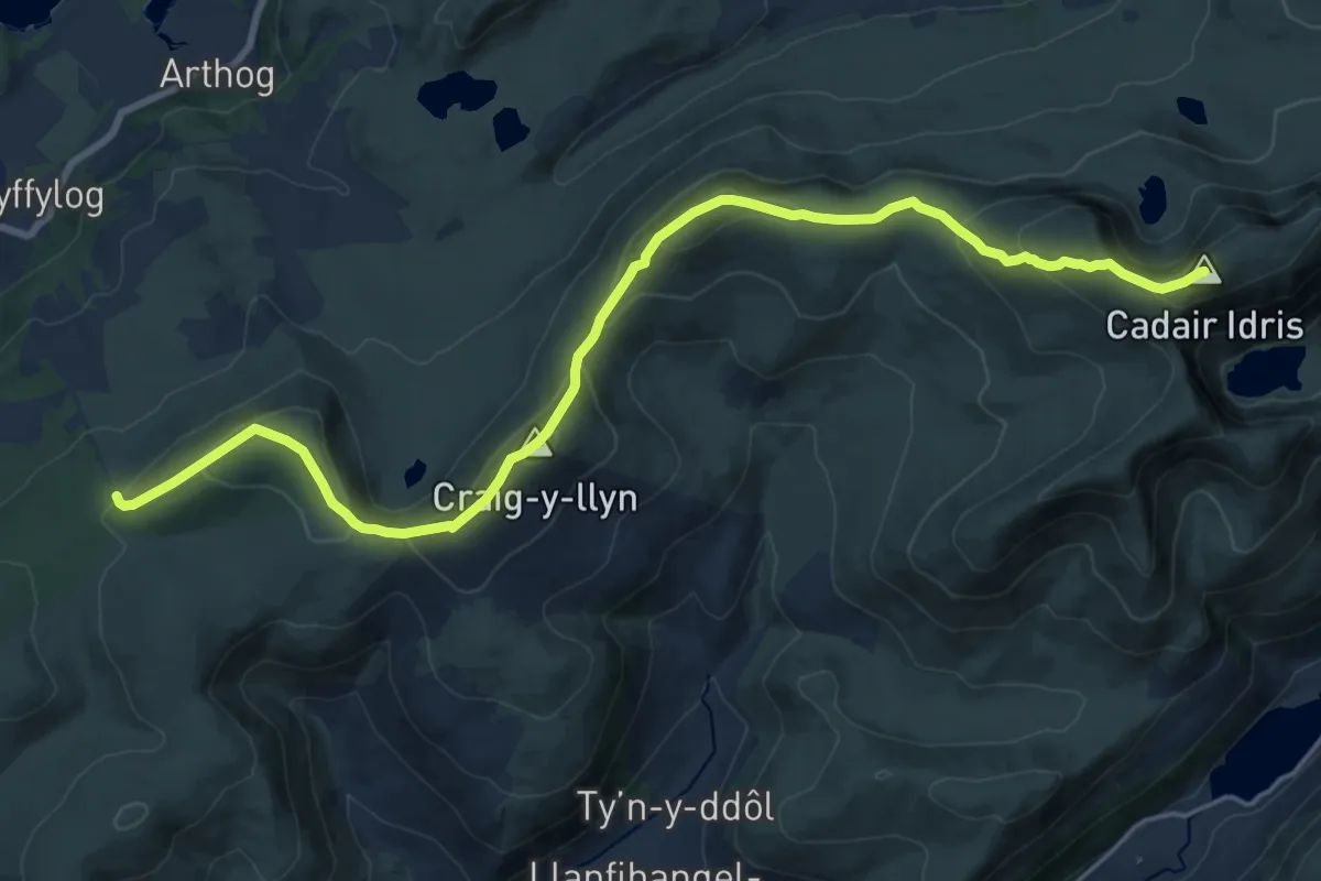
Mynydd Moel-Tyrrau Mawr ridge walk
18.6 km · ↑ 904 m · 6 h 22 min
Demanding · Trail
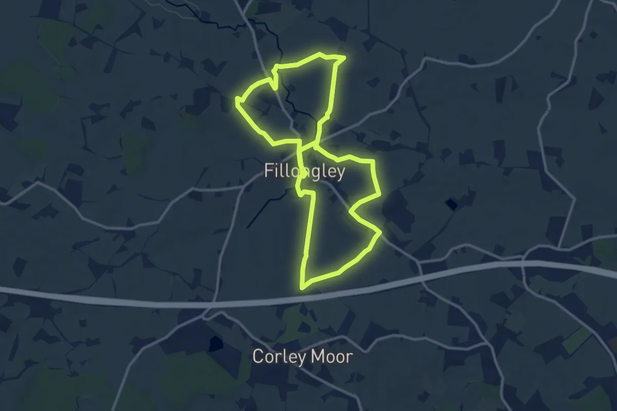
NAHT Parish Walk Fillongley
18.2 km · ↑ 195 m · 4 h 43 min
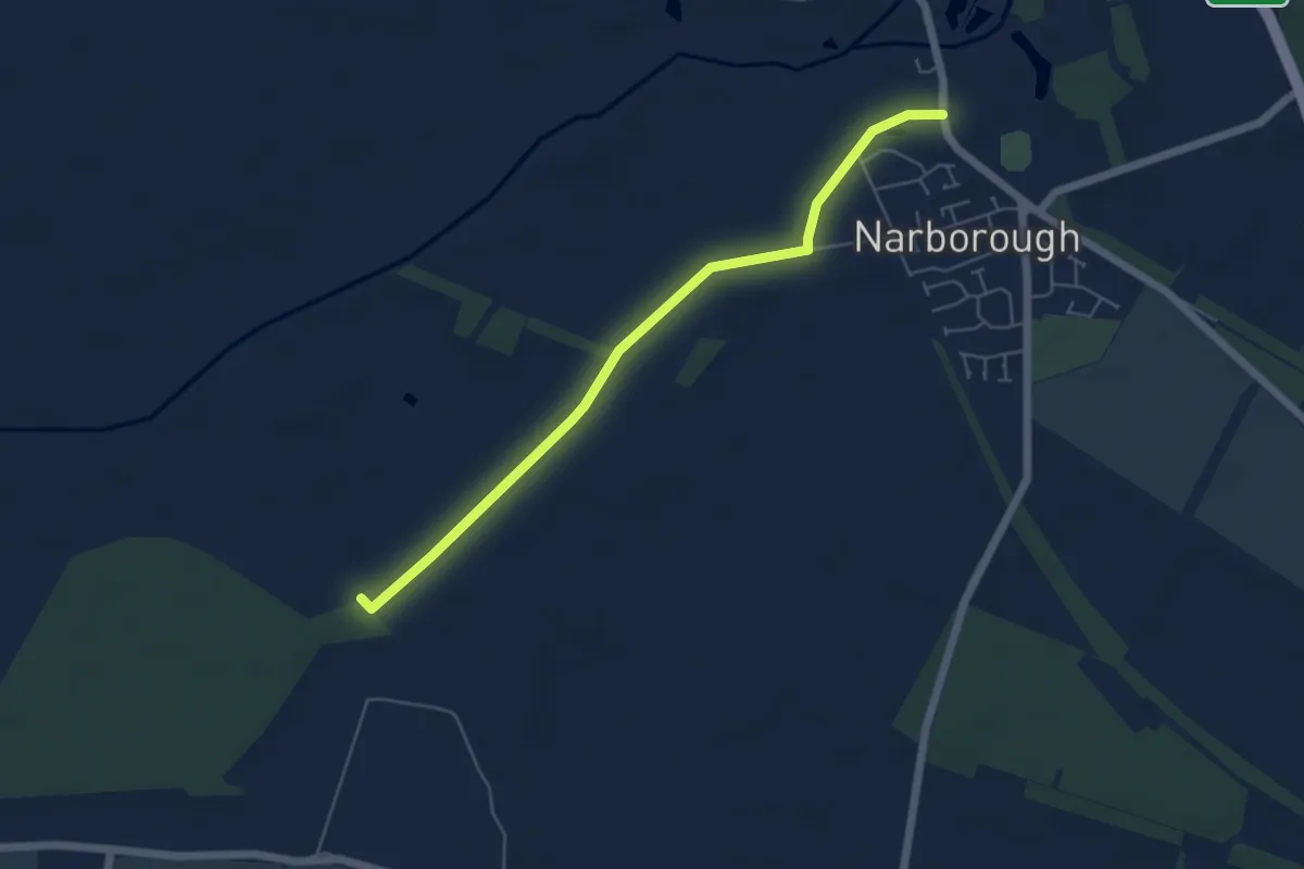
Easy · Trail
Narborough Circular Walk
2.4 km · ↑ 4 m · 37 min
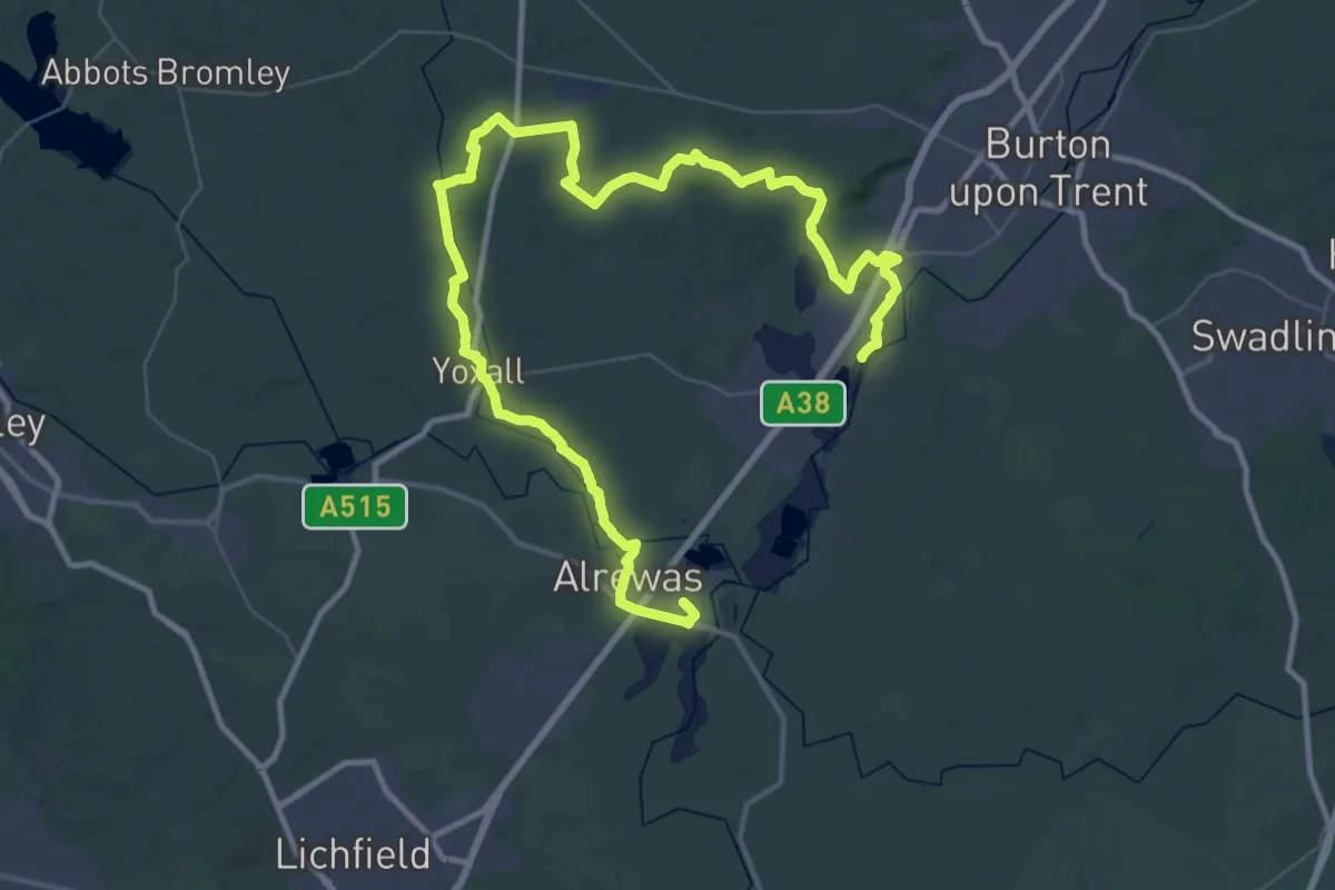
Demanding · Trail
National Forest Way
30.0 km · ↑ 201 m · 7 h 56 min
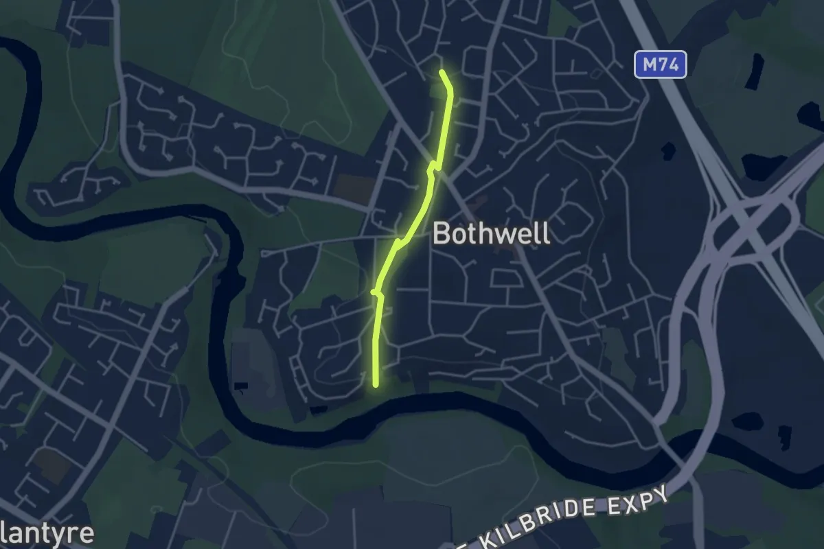
Easy · Trail
Nature Trail
2.5 km · ↑ 14 m · 37 min
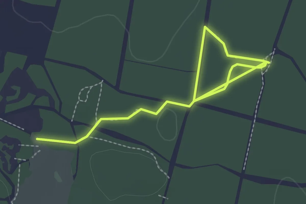
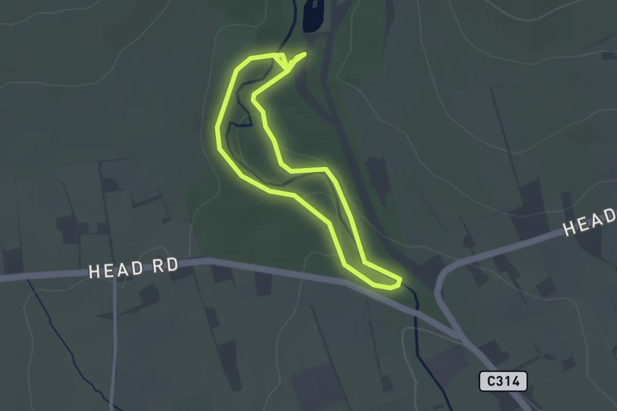
Easy · Trail
Nature Trail
2.9 km · ↑ 4 m · 41 min
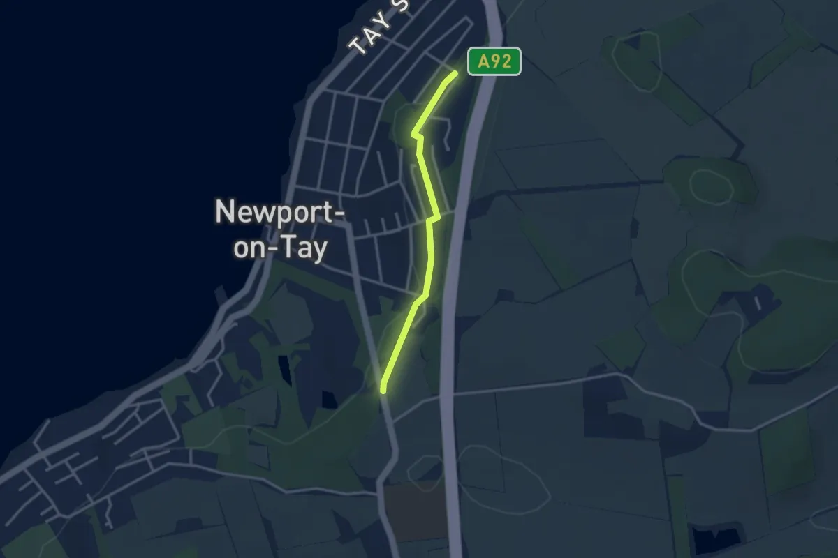
Easy · Trail
Nature Trail
2.1 km · ↑ 22 m · 34 min
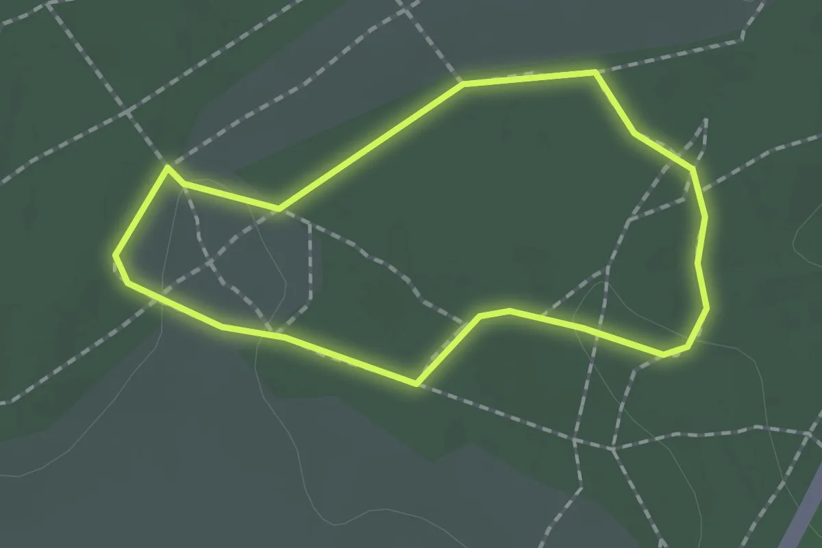
Easy · Trail
Nature Trail
2.1 km · ↑ 8 m · 31 min
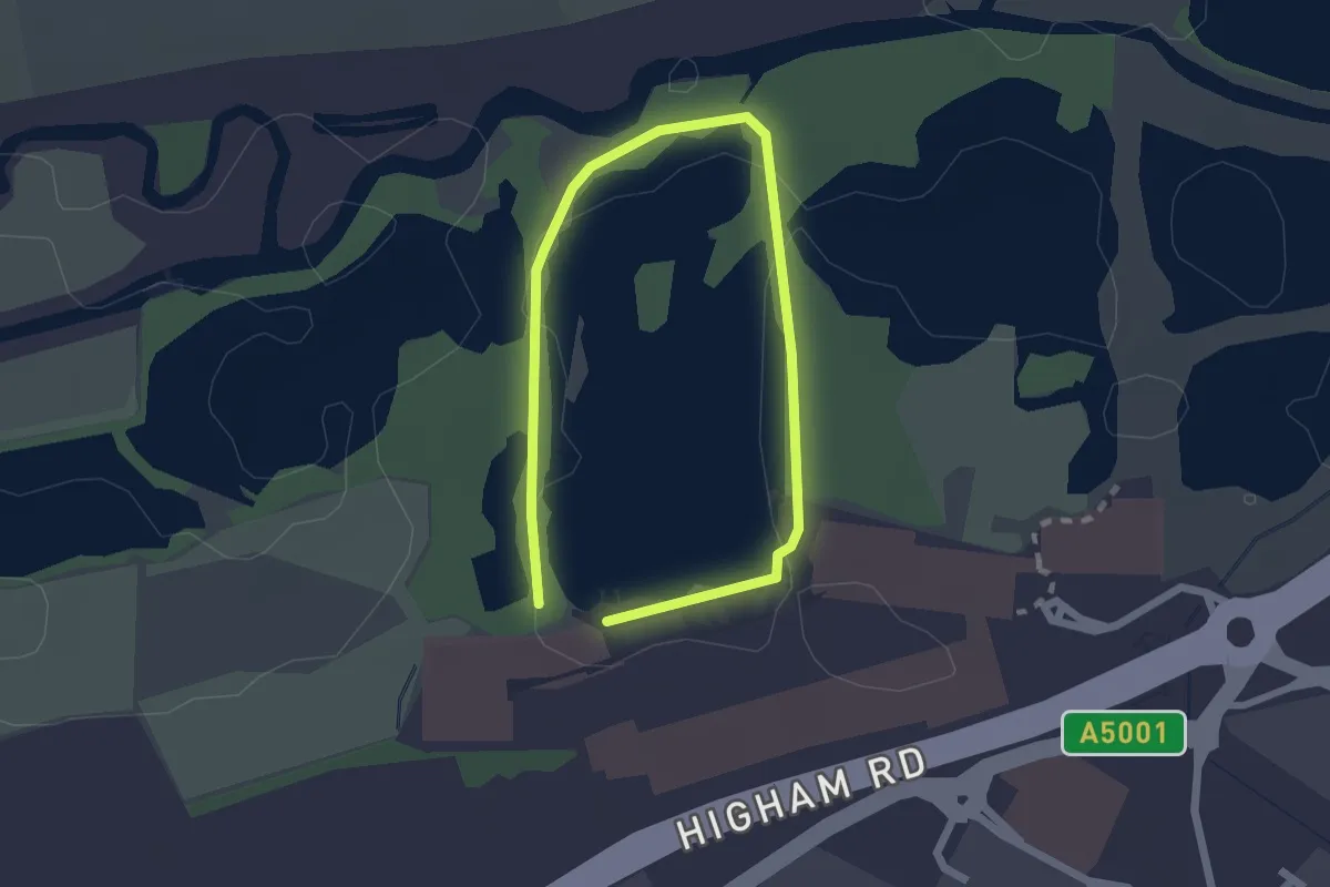
Easy · Trail
Nature Trail, Hindhead
1.4 km · ↑ 4 m · 21 min
Easy · Trail
Nature Trail Walk
1.4 km · ↑ 0 m · 20 min
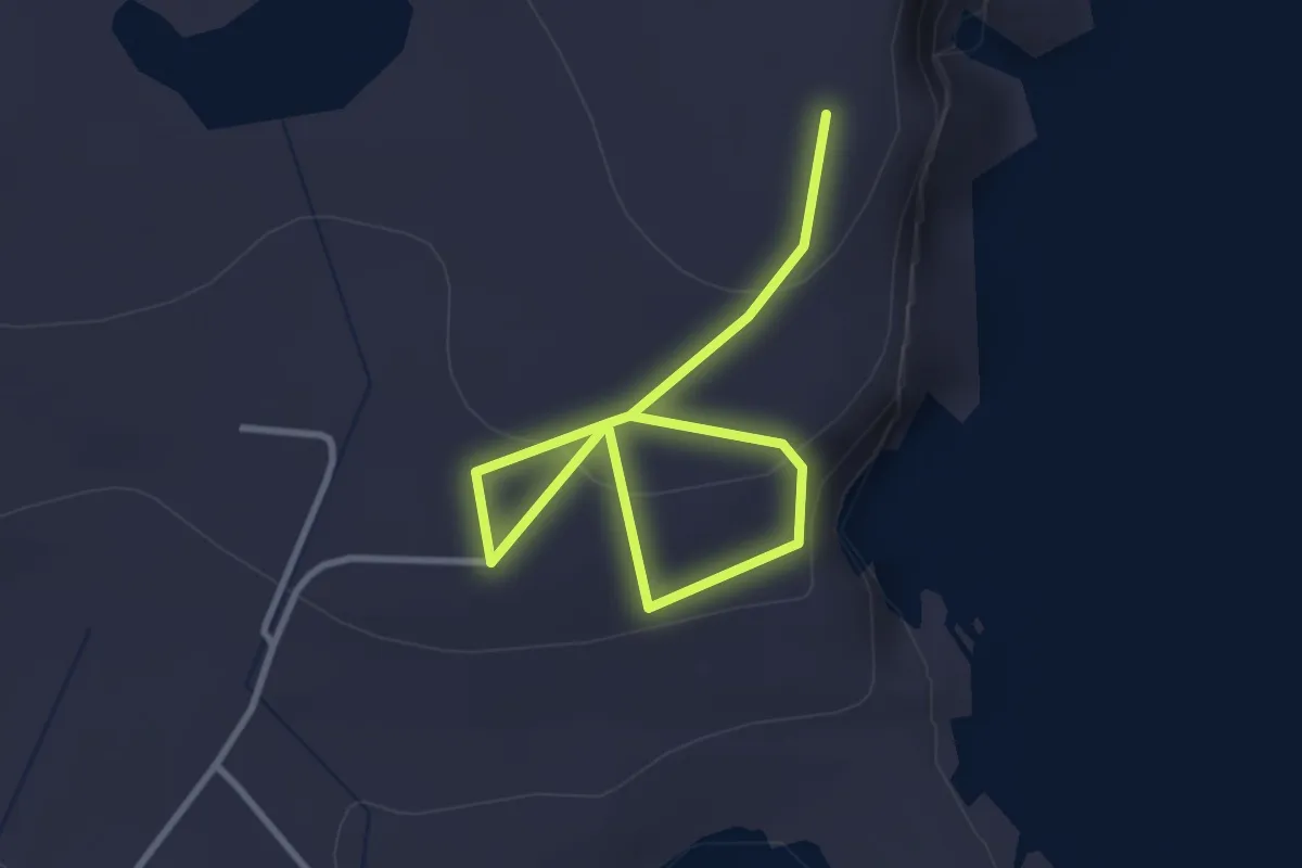
Easy · Summit
Neapaback Burravoe
2.9 km · ↑ 86 m · 53 min
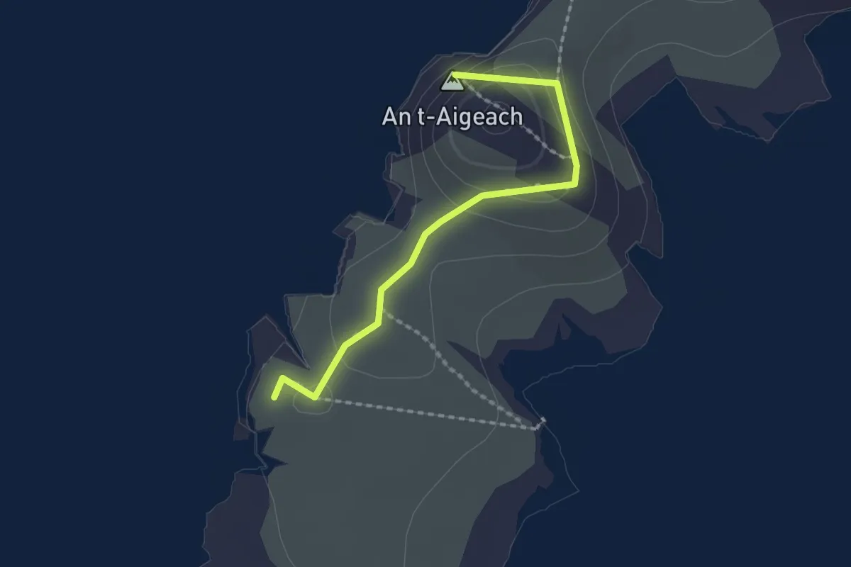
Easy · Summit
Neist Point Lighthouse
1.5 km · ↑ 41 m · 26 min
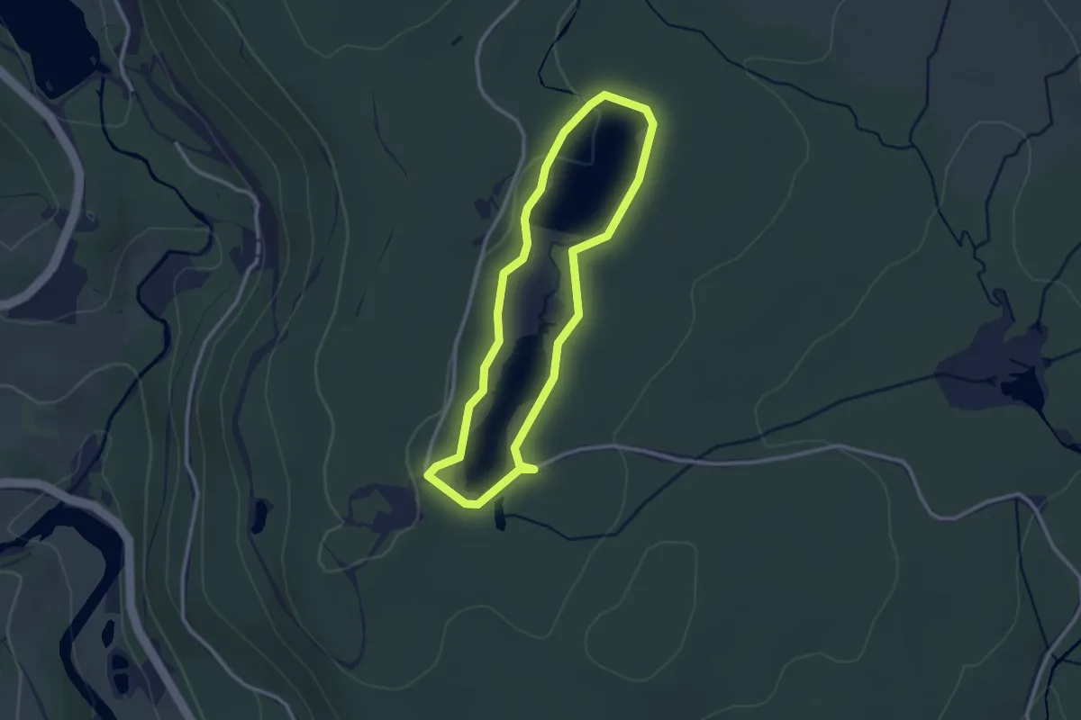
Easy · Trail
Nelly's Moss Lakes Walk, Cragside Estate
2.1 km · ↑ 12 m · 33 min
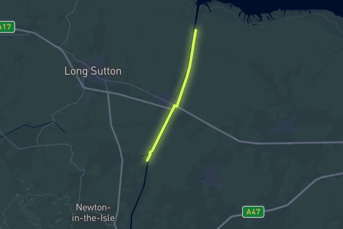
Medium · Trail
Nene Way
17.2 km · ↑ 10 m · 4 h 5 min
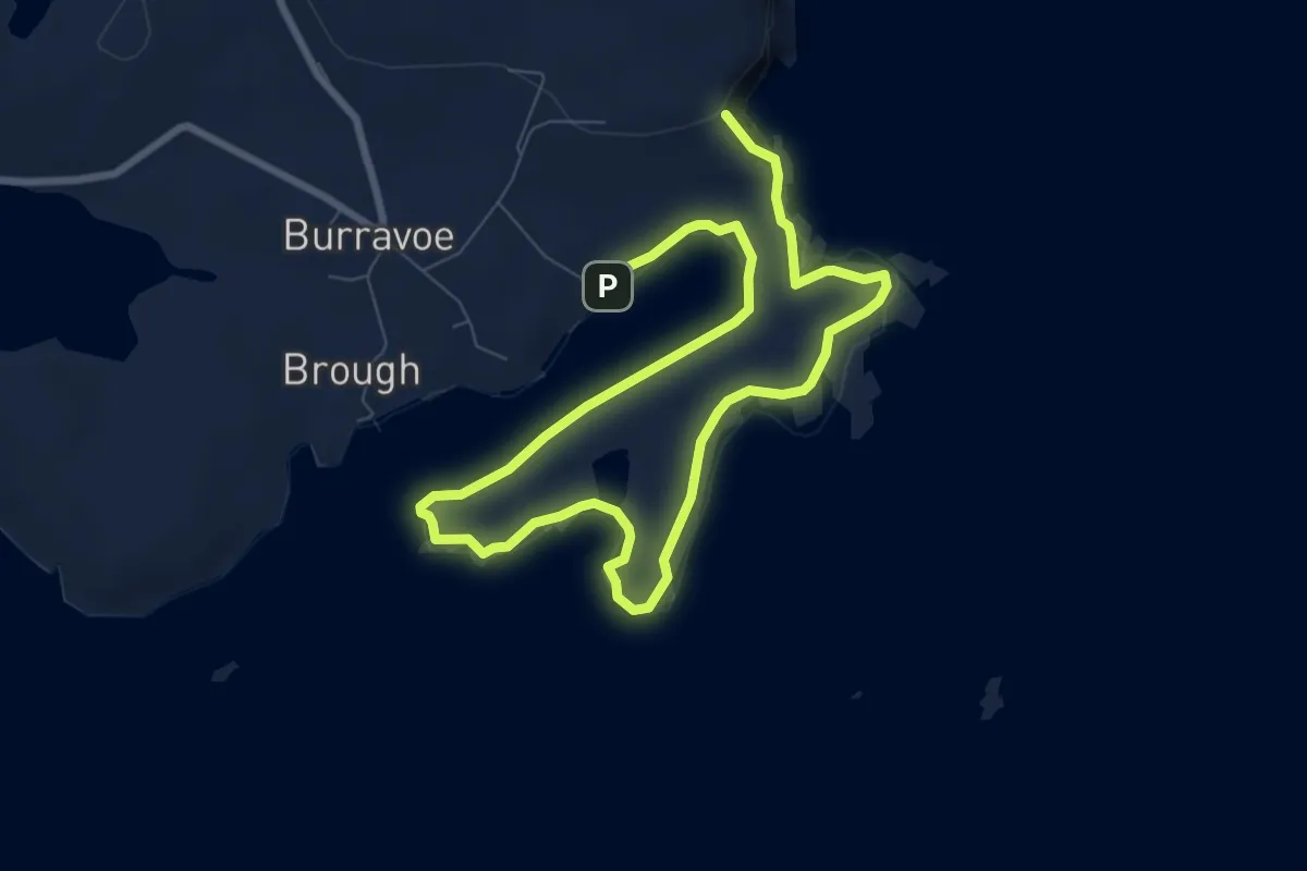
Medium · Trail
Ness of Burravoe
9.3 km · ↑ 259 m · 2 h 45 min
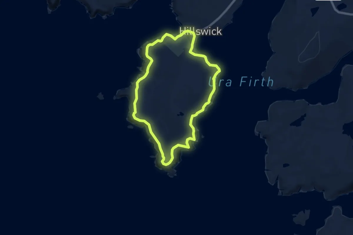
Easy · Trail
Ness of Hillswick
7.1 km · ↑ 186 m · 2 h 10 min
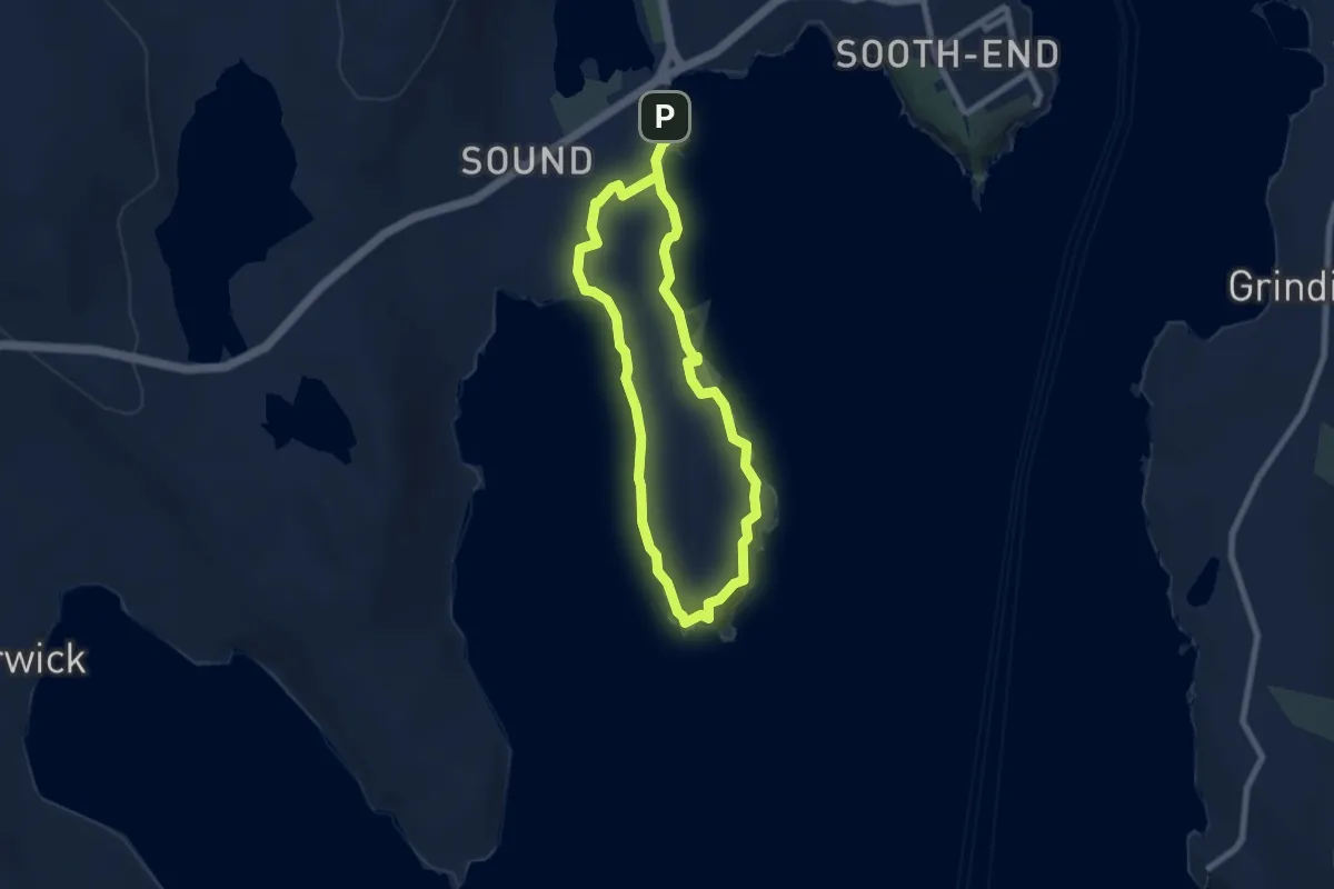
Medium · Trail
Ness of Sound
9.4 km · ↑ 146 m · 2 h 33 min
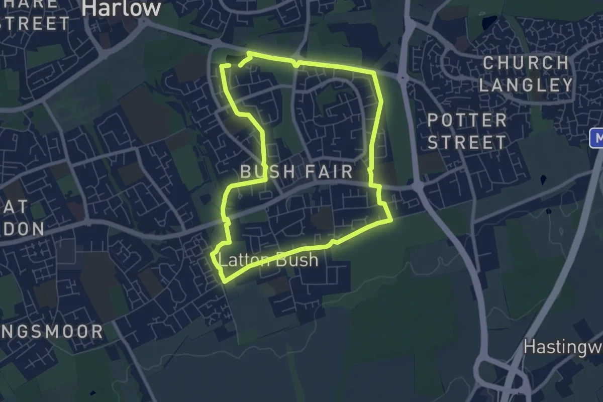
Easy · Trail
Netteswell Trail
5.9 km · ↑ 35 m · 1 h 34 min
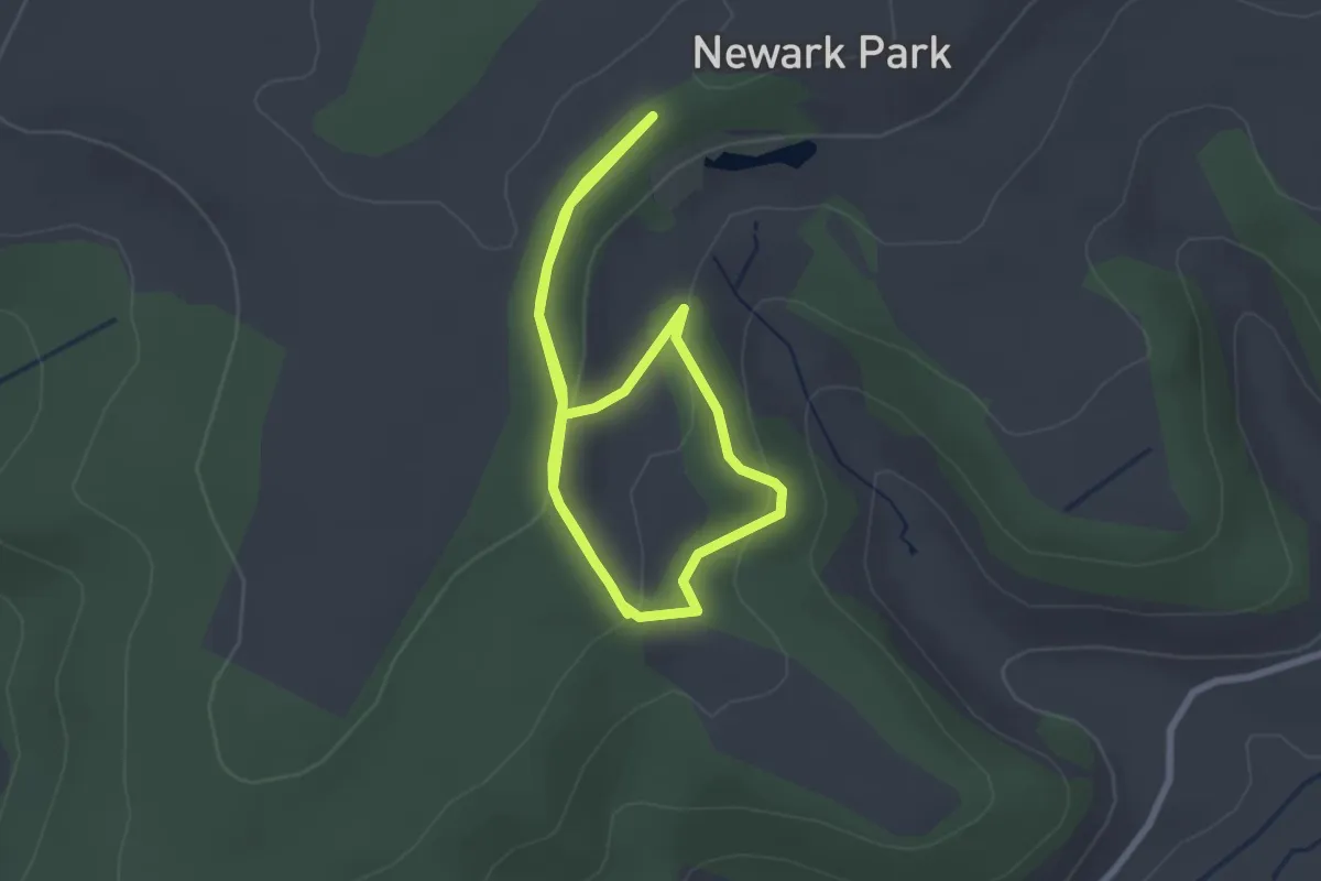
Easy · Trail
Newark Park Orange Trail
2.2 km · ↑ 61 m · 42 min
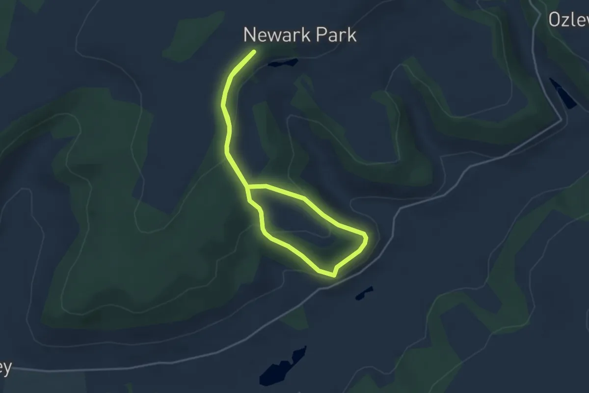
Easy · Trail
Newark Park Pink Trail
2.9 km · ↑ 106 m · 57 min
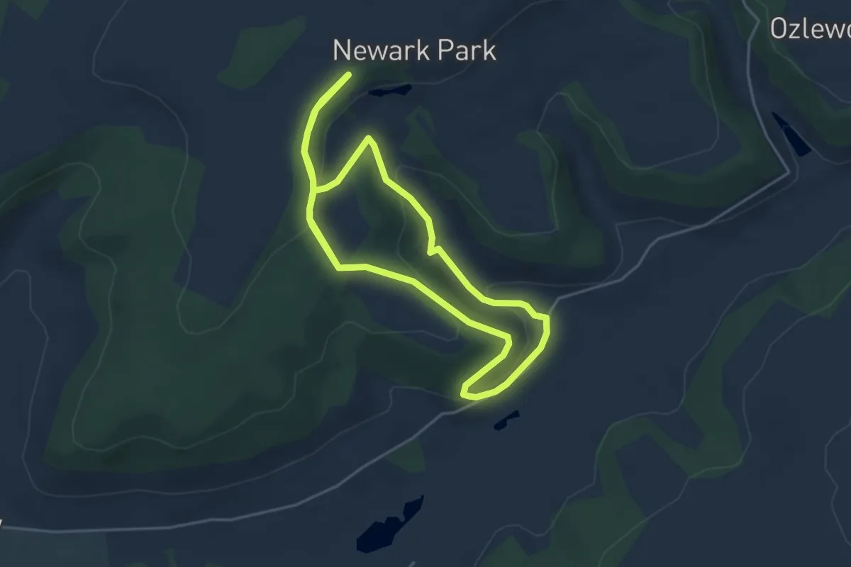
Easy · Trail
Newark Park Purple Trail
3.9 km · ↑ 145 m · 1 h 16 min
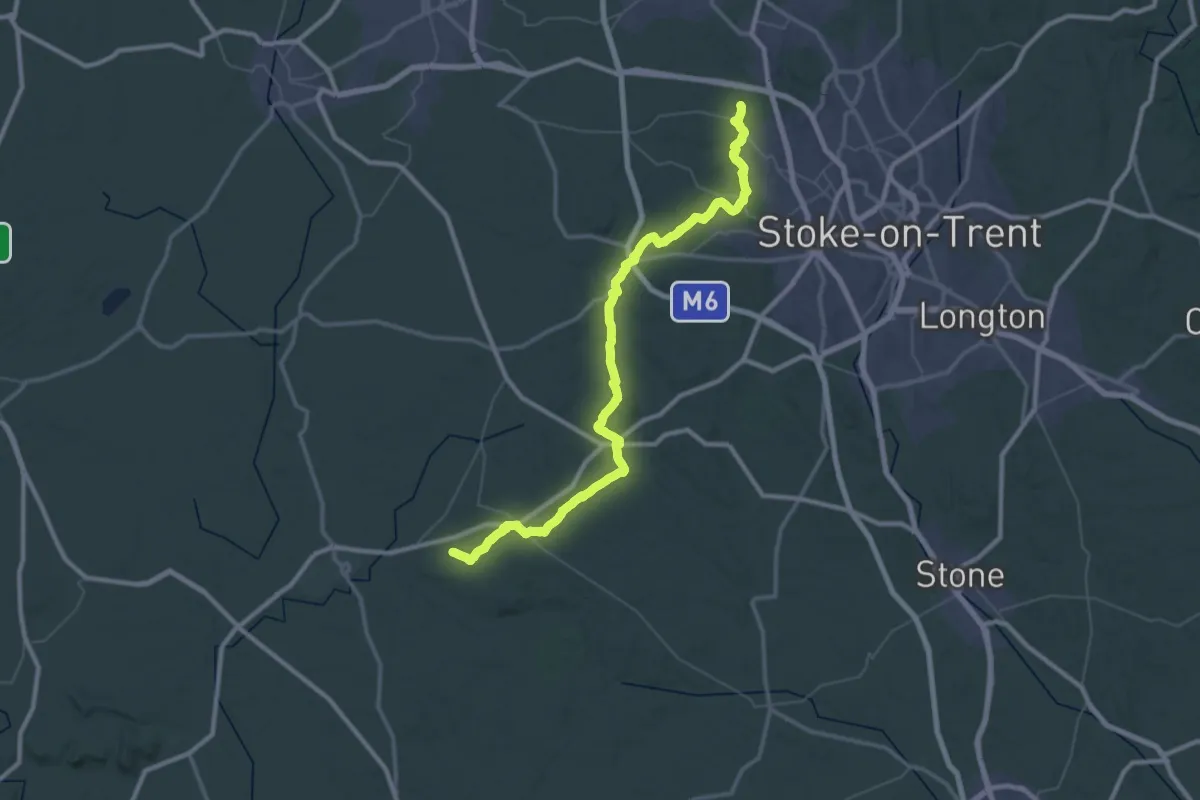
Demanding · Summit
Newcastle Way
56.6 km · ↑ 892 m · 15 h 17 min