Trails near Billerica
47 hikes starting within 15 km, nearest first.
Nearest first
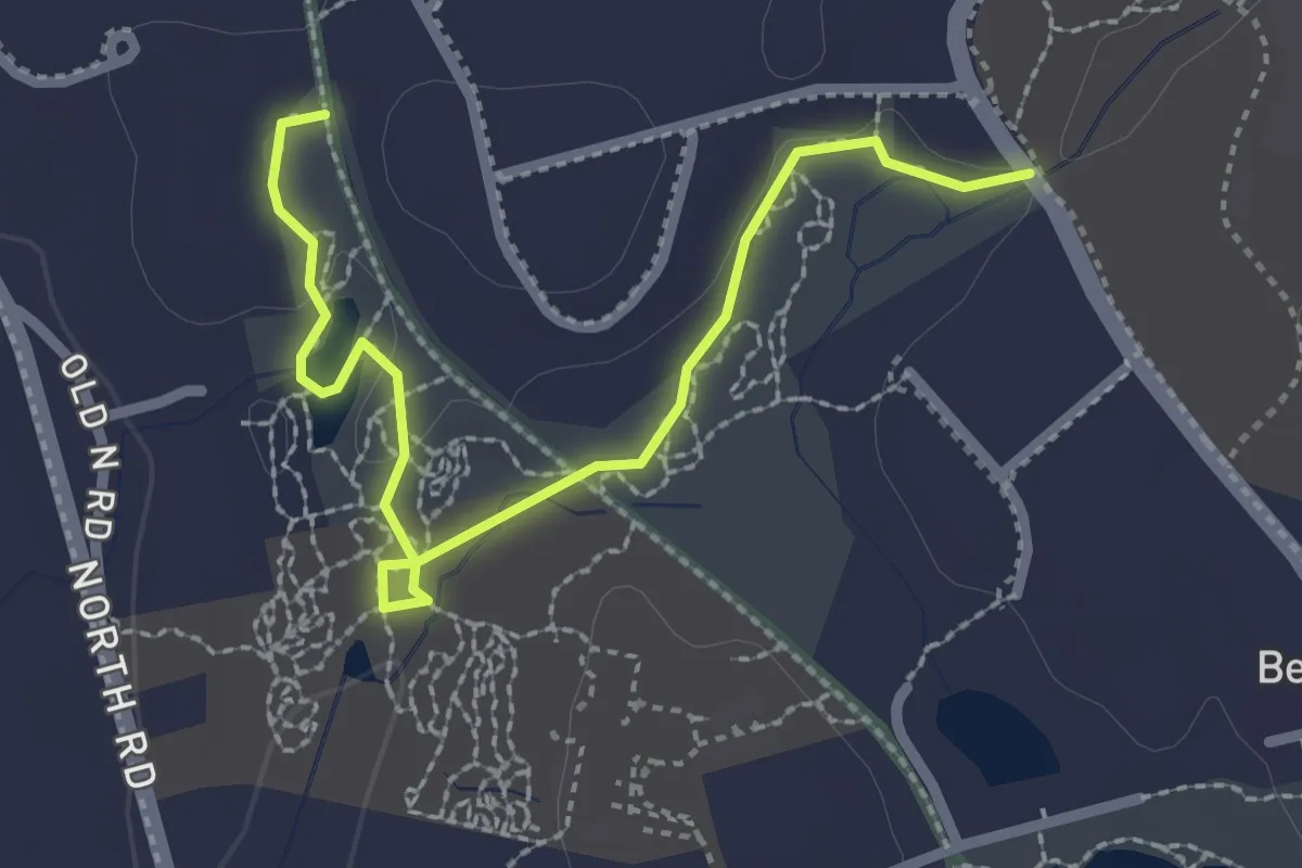
Easy · Trail
Buelher Winthrop Main Trails
3.0 km · ↑ 27 m · 46 min · 4 km away
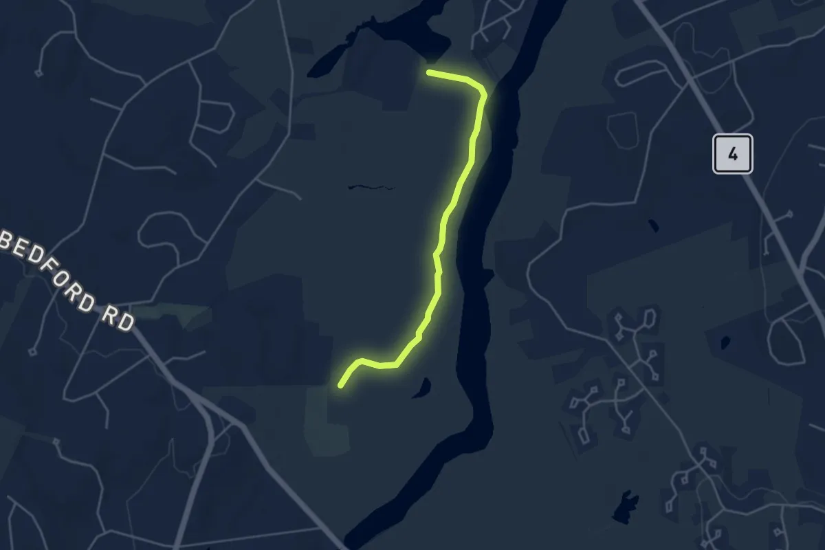
Easy · Trail
River Trail
4.1 km · ↑ 0 m · 58 min · 5 km away
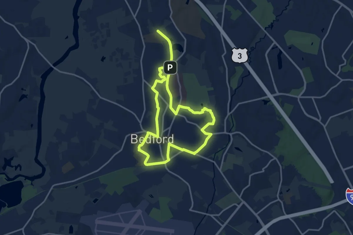
Demanding · Trail
Circuit Trail Bedford (Inner)
22.6 km · ↑ 85 m · 5 h 31 min · 6 km away
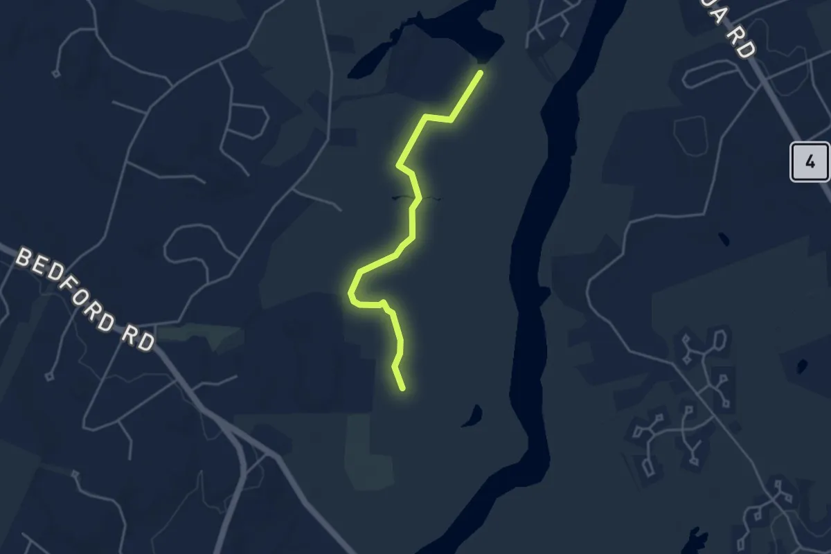
Easy · Trail
Red-Tail Trail
3.9 km · ↑ 0 m · 55 min · 6 km away
Easy · Trail
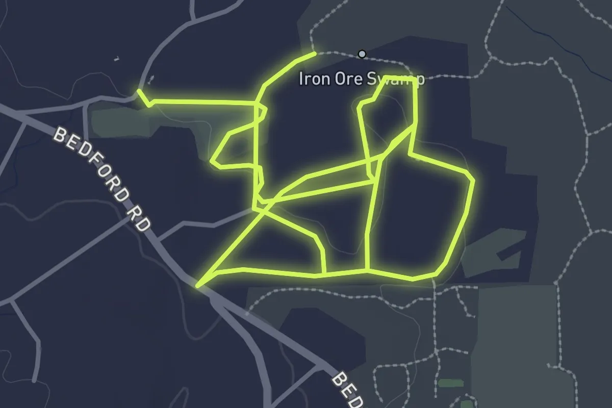
Woodward Trails
8.0 km · ↑ 39 m · 1 h 58 min · 6 km away
Medium · Trail
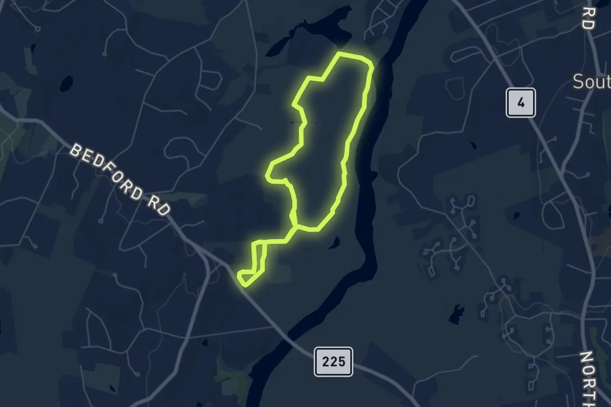
Great Meadows Greenaugh Loop
11.4 km · ↑ 8 m · 2 h 43 min · 6 km away
Demanding · Trail
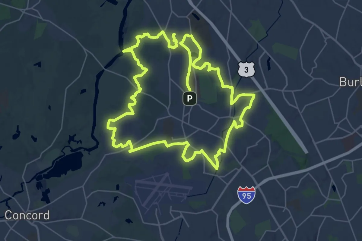
Circuit Trail Bedford (Outer)
28.1 km · ↑ 143 m · 7 h 19 min · 7 km away
Easy · Trail
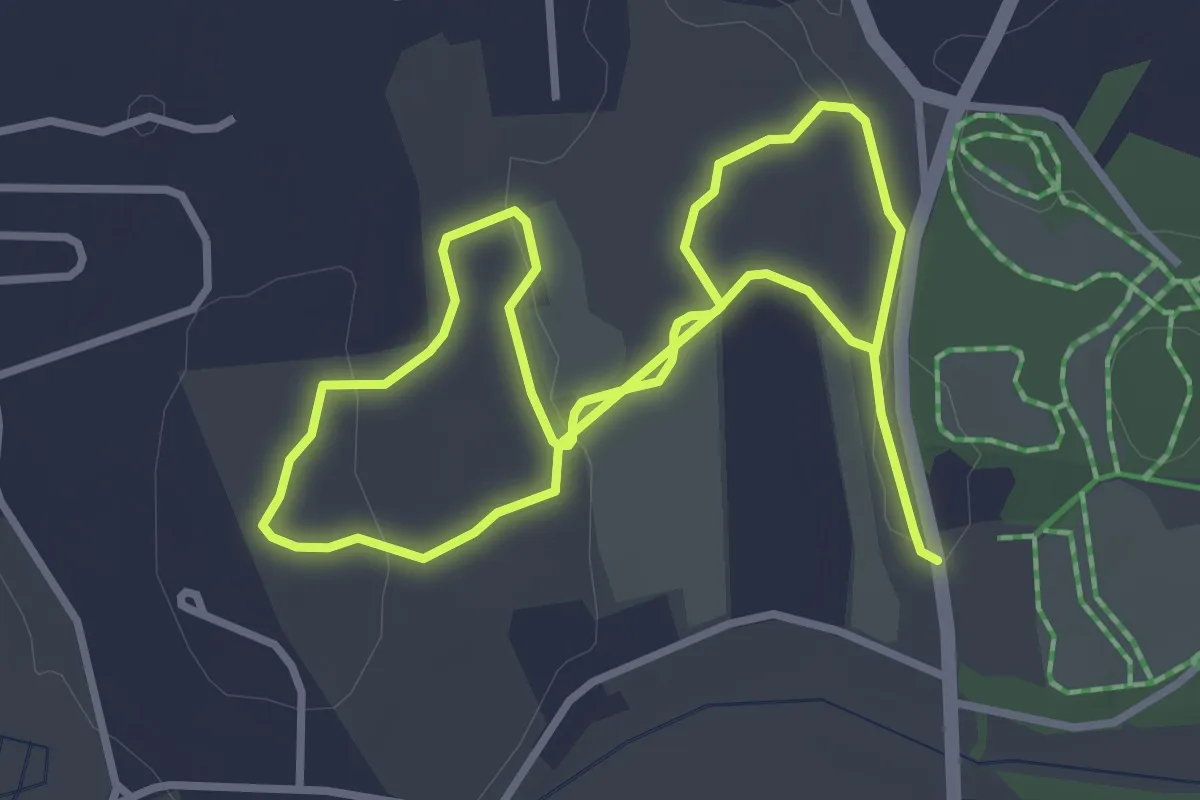
Acorn Trail
6.3 km · ↑ 68 m · 1 h 39 min · 7 km away
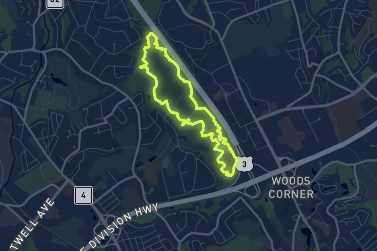
Easy · Summit
Burlington Landlocked Forest Yellow Loop
6.9 km · ↑ 111 m · 1 h 57 min · 7 km away
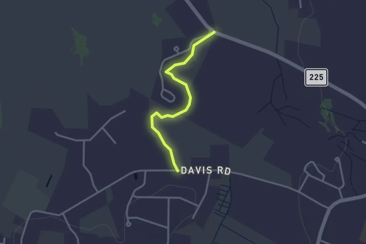
Easy · Trail
Langone-Pine Grove Farm Trail
2.6 km · ↑ 0 m · 37 min · 8 km away
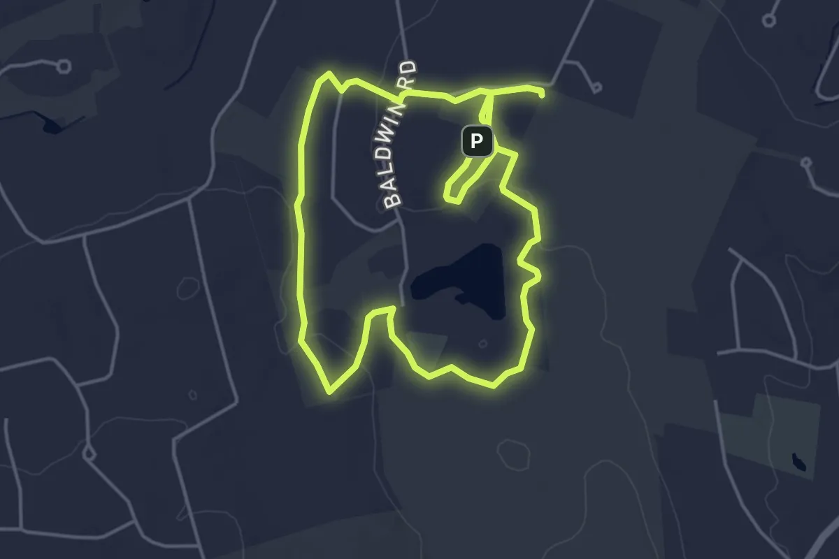
Medium · Trail
Poole Sachs Davis Loop
8.8 km · ↑ 57 m · 2 h 12 min · 8 km away
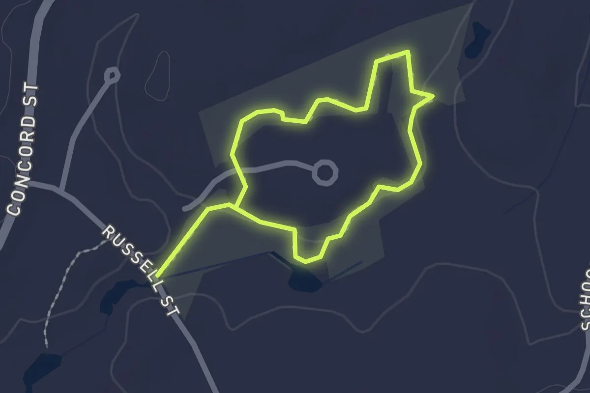
Easy · Trail
Russell Trail
2.9 km · ↑ 13 m · 43 min · 9 km away
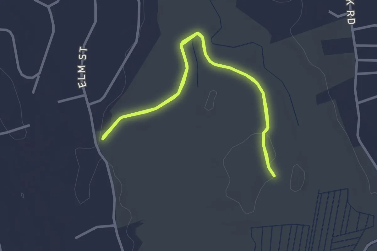
Easy · Trail
Cranberry Bog - Pennensula Trail
2.8 km · ↑ 0 m · 42 min · 9 km away
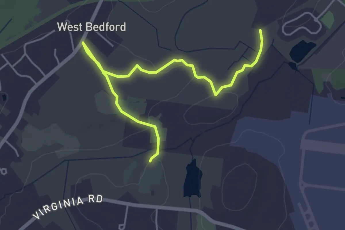
Easy · Trail
Massport Designated Trail
5.1 km · ↑ 22 m · 1 h 16 min · 9 km away
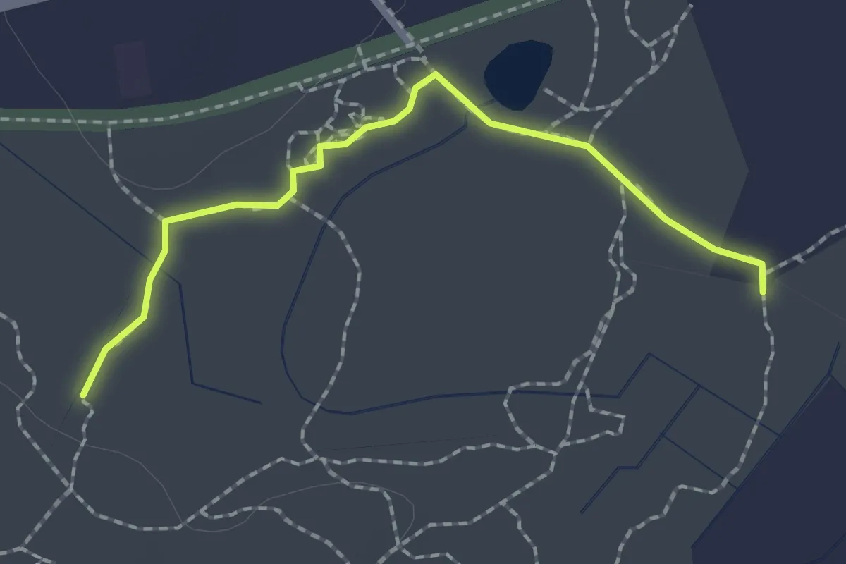
Easy · Trail
Main Trail (blue)
2.1 km · ↑ 0 m · 29 min · 10 km away
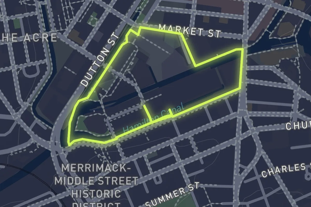
Easy · Trail
Redevelopment Rove
2.0 km · ↑ 4 m · 31 min · 10 km away
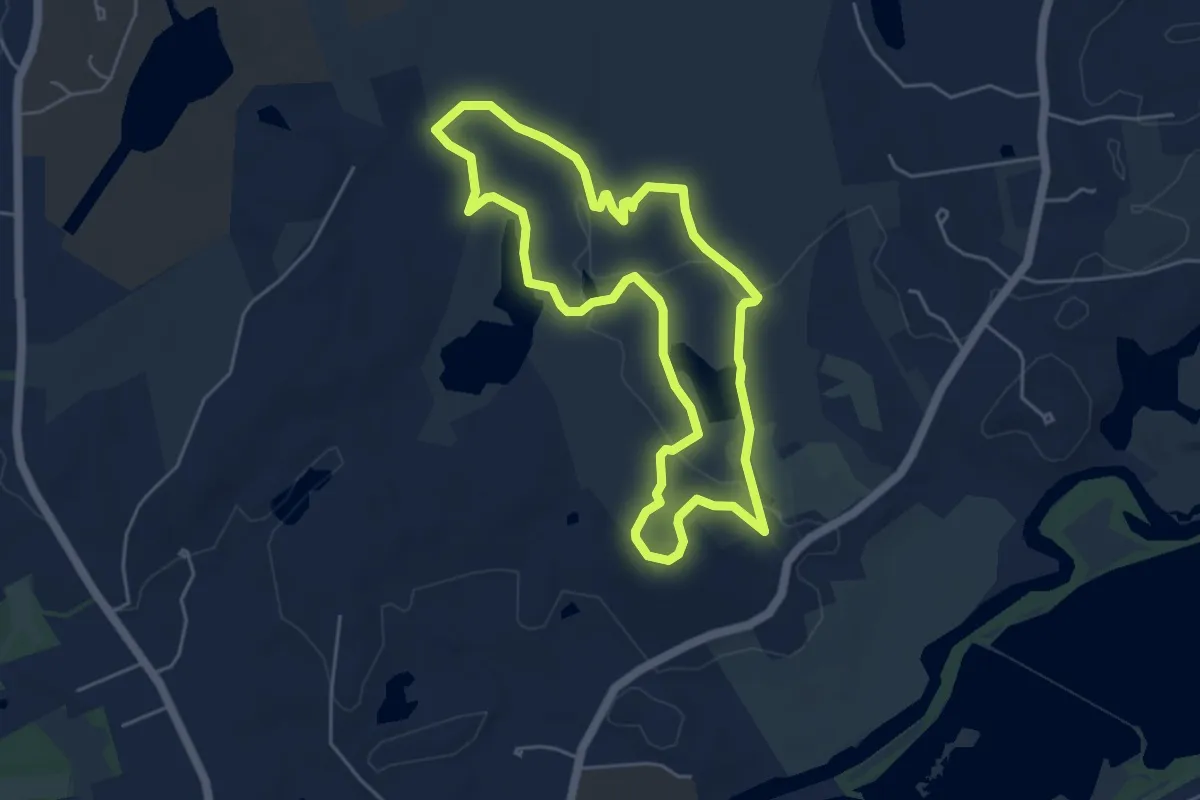
Easy · Summit
Punkatasset Estabrook Loop
5.1 km · ↑ 96 m · 1 h 29 min · 10 km away
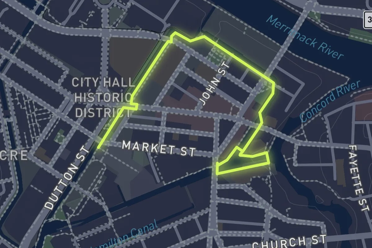
Easy · Trail
Waterpower Walk
3.4 km · ↑ 14 m · 50 min · 10 km away
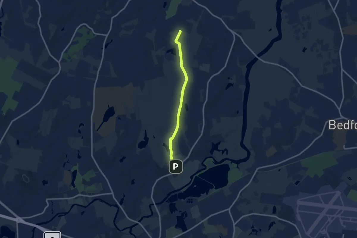
Medium · Trail
Estabrook Concord-Carlisle
8.3 km · ↑ 51 m · 2 h 4 min · 11 km away
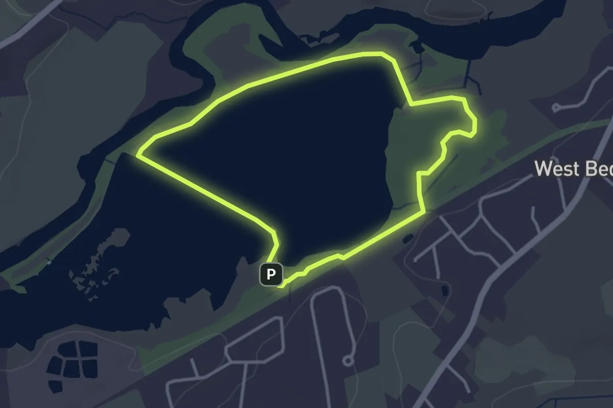
Easy · Trail
Great Meadows Bird Observer Trail
3.2 km · ↑ 0 m · 48 min · 11 km away
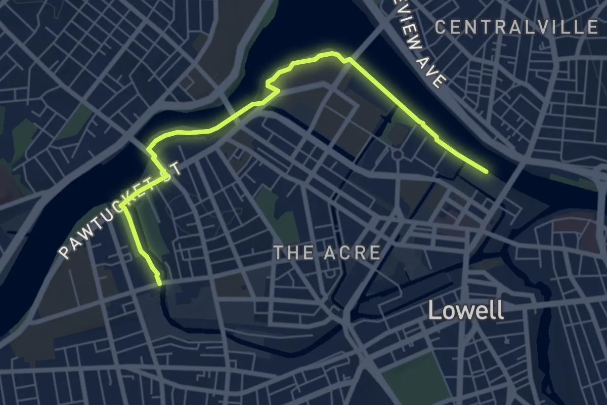
Easy · Trail
Riverwalk Ramble
6.9 km · ↑ 32 m · 1 h 42 min · 11 km away
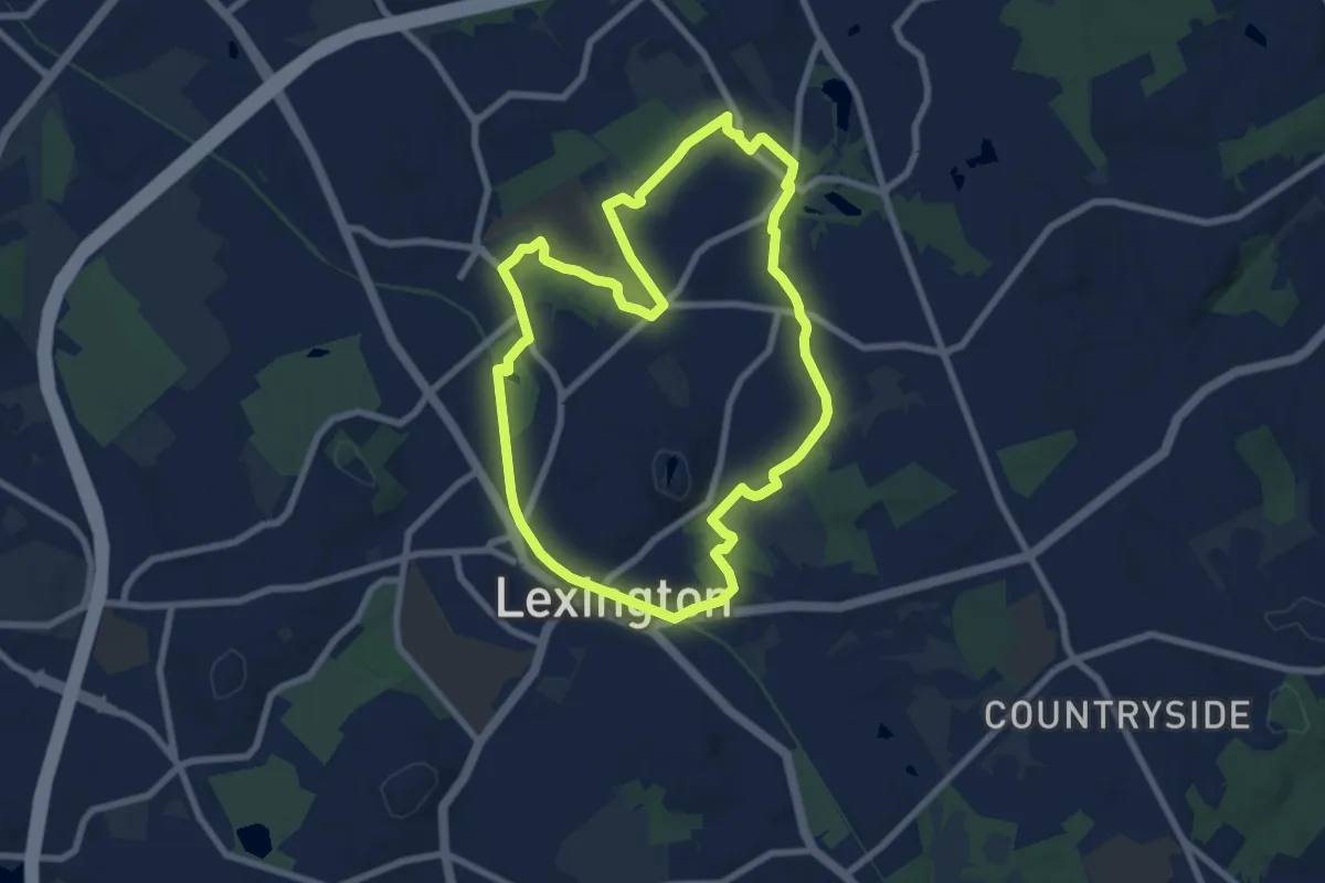
Medium · Summit
ACROSS Lexington Route A
8.4 km · ↑ 20 m · 2 h 9 min · 11 km away
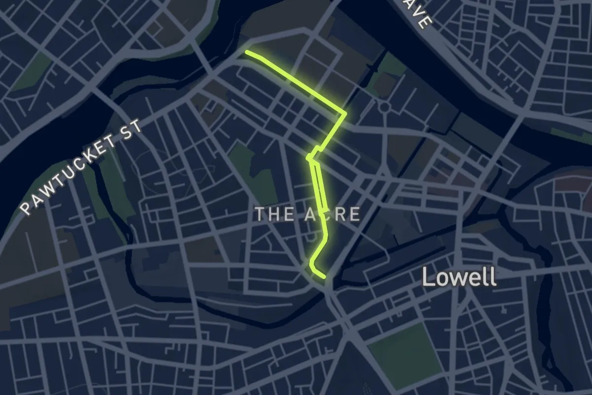
Easy · Trail
Heritage Hike
4.3 km · ↑ 0 m · 1 h 1 min · 11 km away
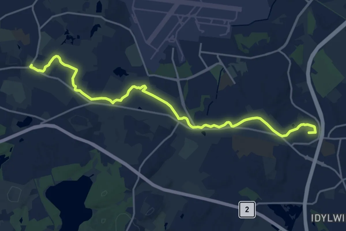
Medium · Summit
Battle Road Trail
15.2 km · ↑ 80 m · 3 h 46 min · 12 km away
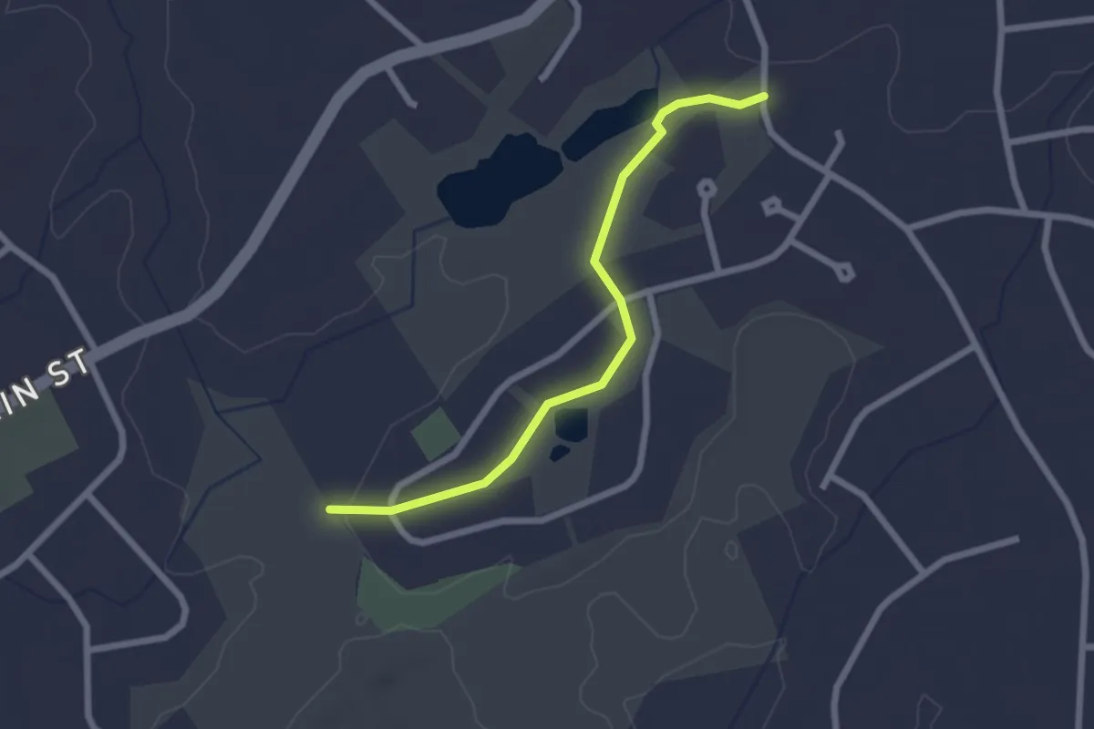
Easy · Trail
Buckboard Trail
2.4 km · ↑ 16 m · 36 min · 12 km away
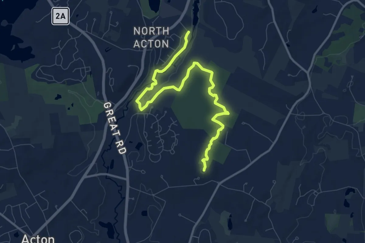
Medium · Summit
BCT 6 Acton/Concord
10.8 km · ↑ 77 m · 2 h 42 min · 12 km away
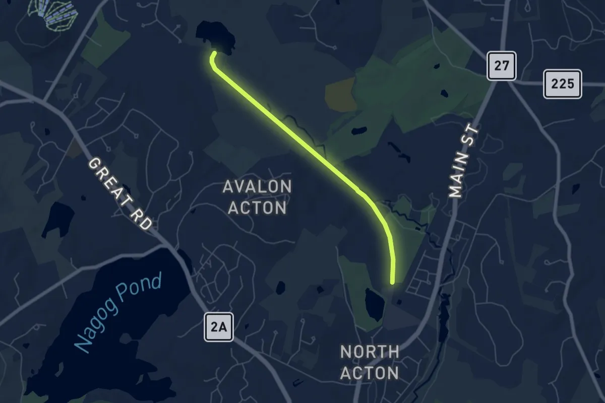
Easy · Trail
Nashua Acton & Boston Railroad Trail
5.6 km · ↑ 8 m · 1 h 20 min · 12 km away
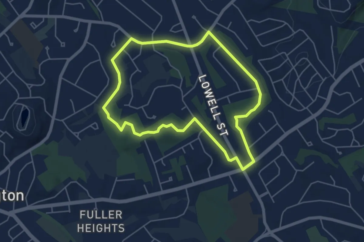
Easy · Trail
ACROSS Lexington Route G
4.5 km · ↑ 23 m · 1 h 11 min · 13 km away
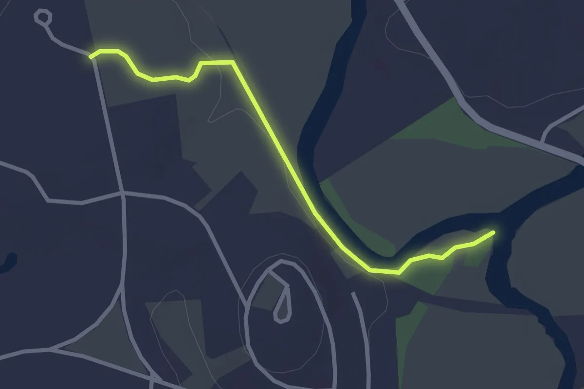
Easy · Trail
Egg Rock Trail
2.7 km · ↑ 14 m · 40 min · 13 km away
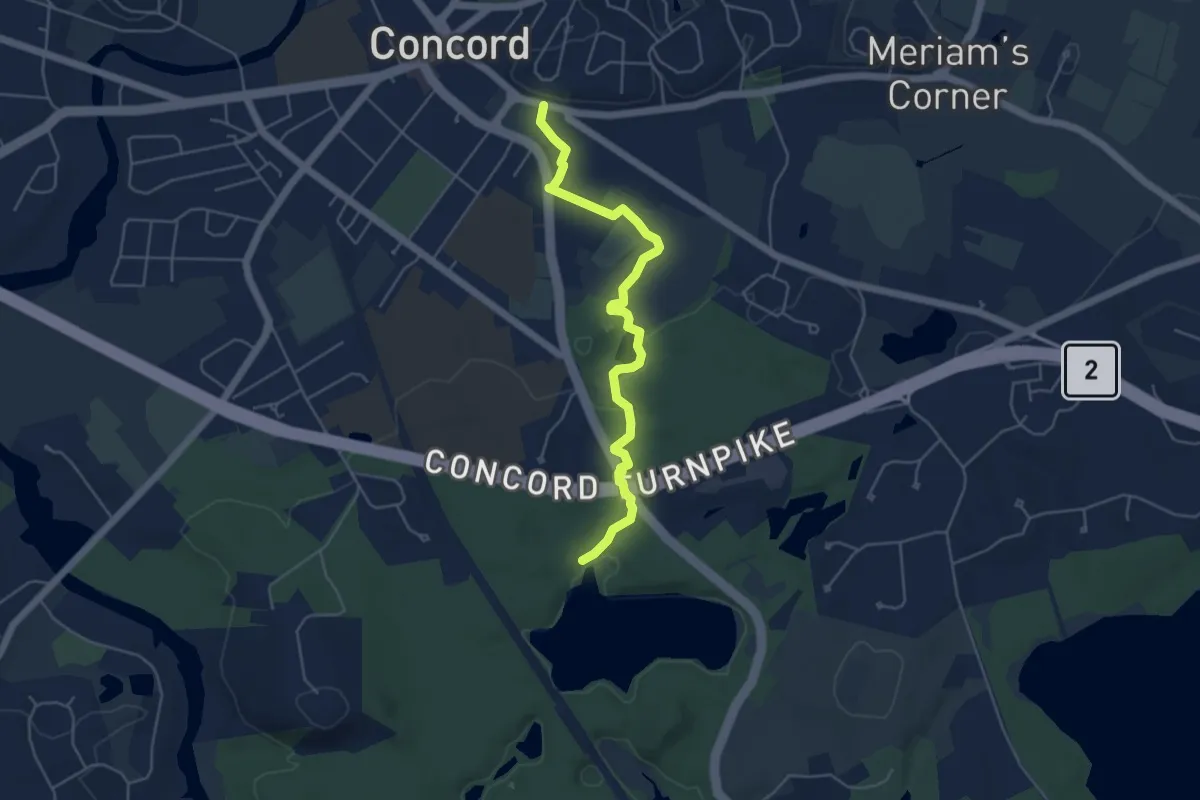
Easy · Trail
Emerson-Thoreau Amble
5.5 km · ↑ 31 m · 1 h 22 min · 13 km away
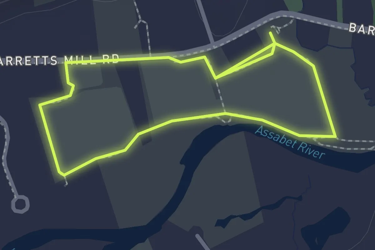
Easy · Trail
Barretts Mill Loop
2.1 km · ↑ 0 m · 31 min · 13 km away
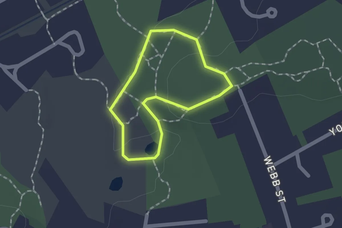
Easy · Trail
Lower Vine Brook Loop
1.1 km · ↑ 15 m · 18 min · 13 km away
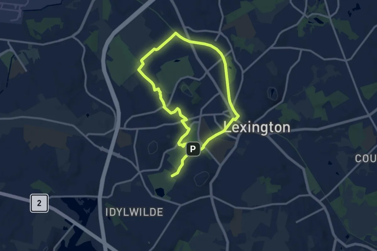
Easy · Summit
ACROSS Lexington Route E
7.5 km · ↑ 44 m · 1 h 59 min · 13 km away
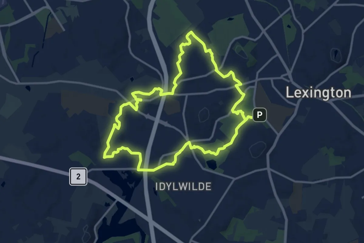
Medium · Summit
ACROSS Lexington Route F
10.3 km · ↑ 101 m · 2 h 48 min · 13 km away
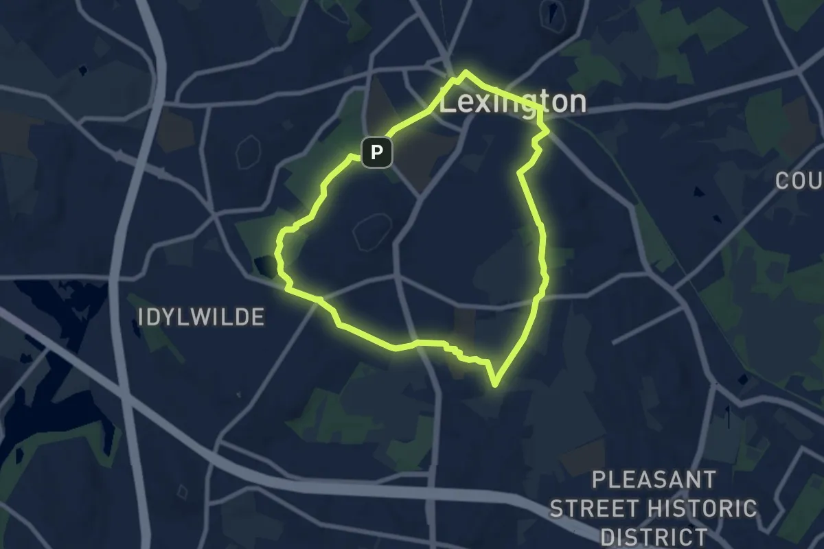
Easy · Summit
ALB ACROSS Lexington Route B
7.1 km · ↑ 30 m · 1 h 50 min · 13 km away
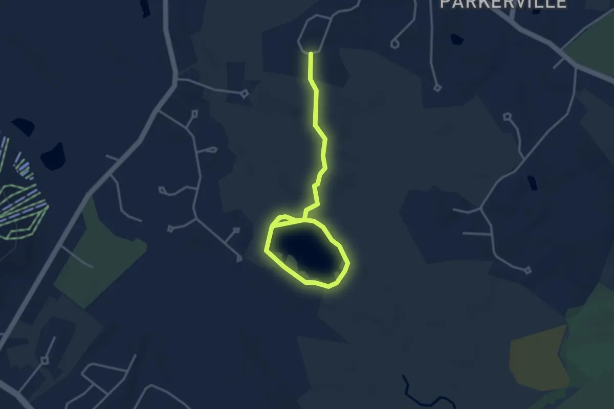
Easy · Trail
Kennedy Pond Loop
4.4 km · ↑ 47 m · 1 h 8 min · 13 km away
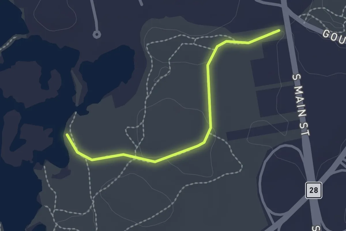
Easy · Trail
Accessible trail
2.2 km · ↑ 15 m · 33 min · 13 km away
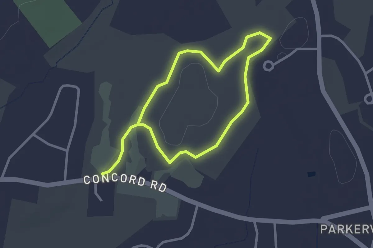
Easy · Trail
Alan Emmet Trail
4.1 km · ↑ 17 m · 1 h 1 min · 13 km away
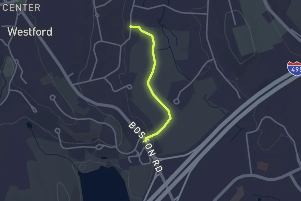
Easy · Trail
Peace Trail
2.2 km · ↑ 4 m · 31 min · 13 km away
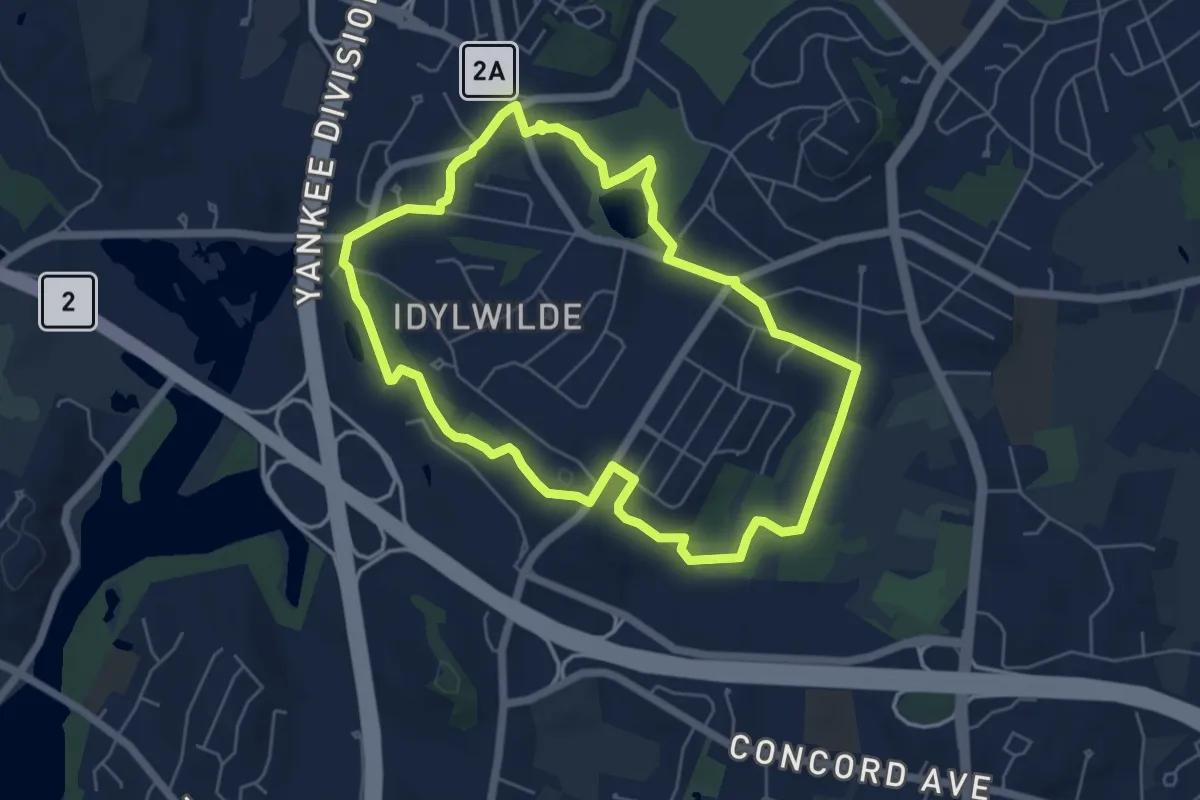
Easy · Trail
ACROSS Lexington Route H
6.0 km · ↑ 42 m · 1 h 36 min · 13 km away
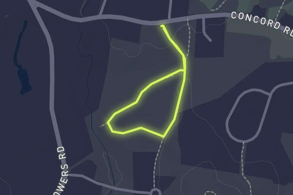
Easy · Trail
Nashoba Brook Woodland Loop
1.2 km · ↑ 9 m · 20 min · 13 km away
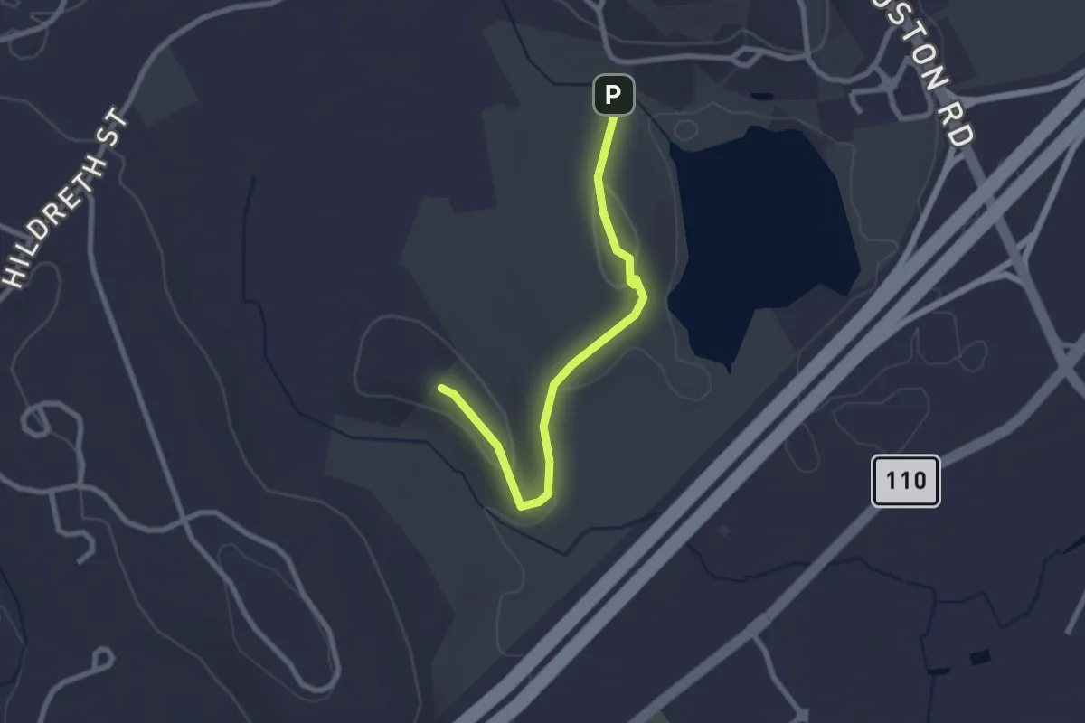
Easy · Summit
Burns Hill Loop Trail
2.6 km · ↑ 78 m · 46 min · 14 km away
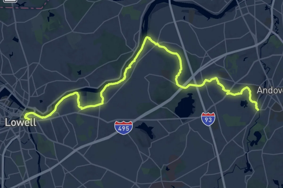
Demanding · Trail
BCT section 4
21.7 km · ↑ 213 m · 5 h 53 min · 14 km away
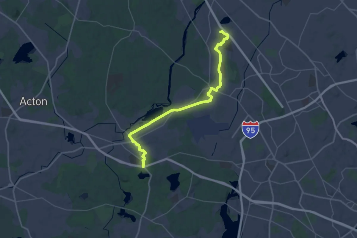
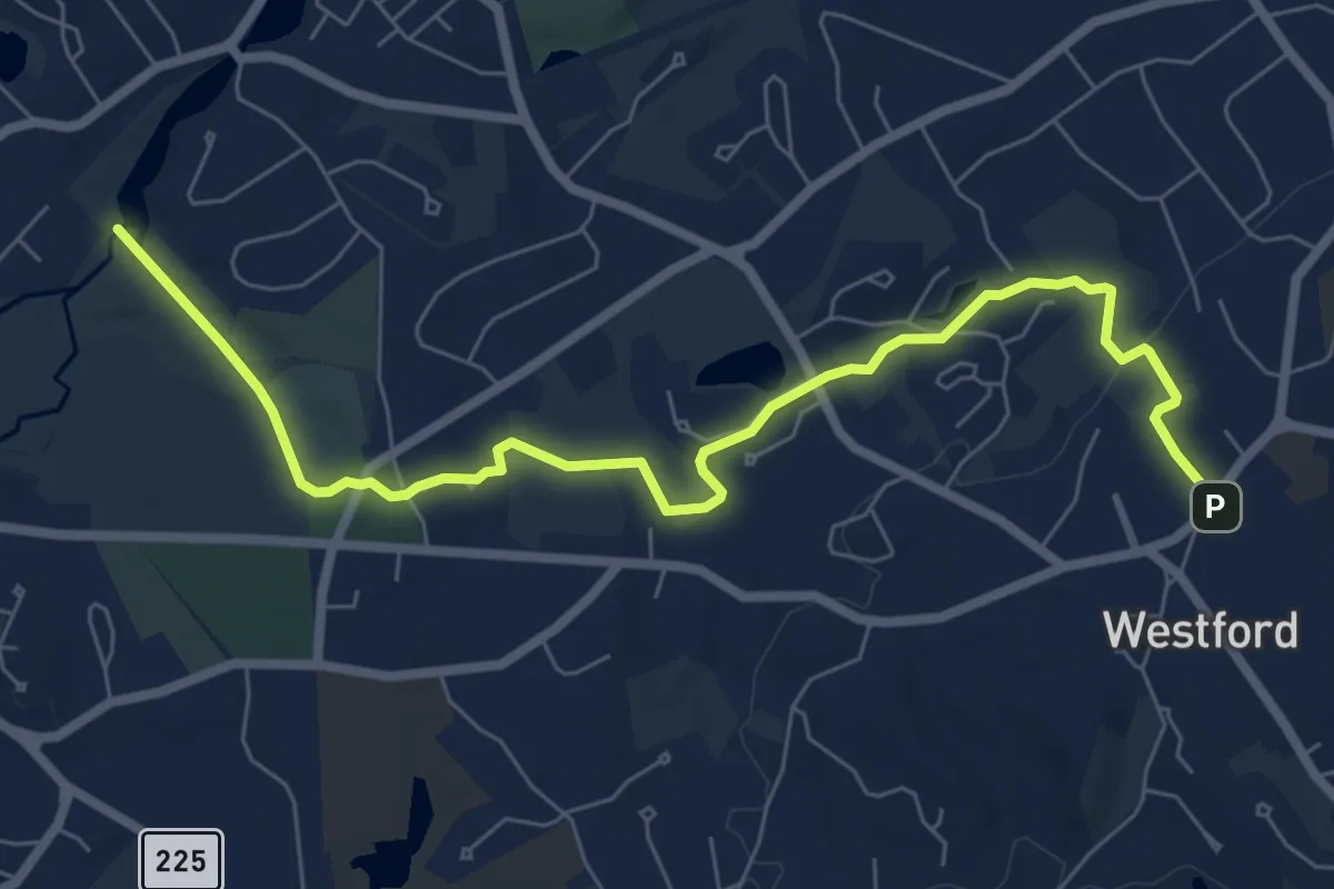
Medium · Trail
BCT 5a & 6 Billerica/Bedford/Concord
16.5 km · ↑ 76 m · 4 h 17 min · 14 km away
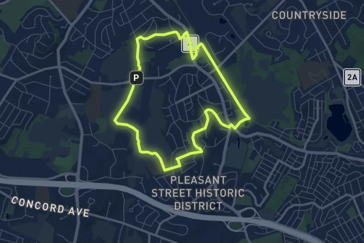
Medium · Trail
Tom Paul Trail
8.6 km · ↑ 101 m · 2 h 15 min · 14 km away
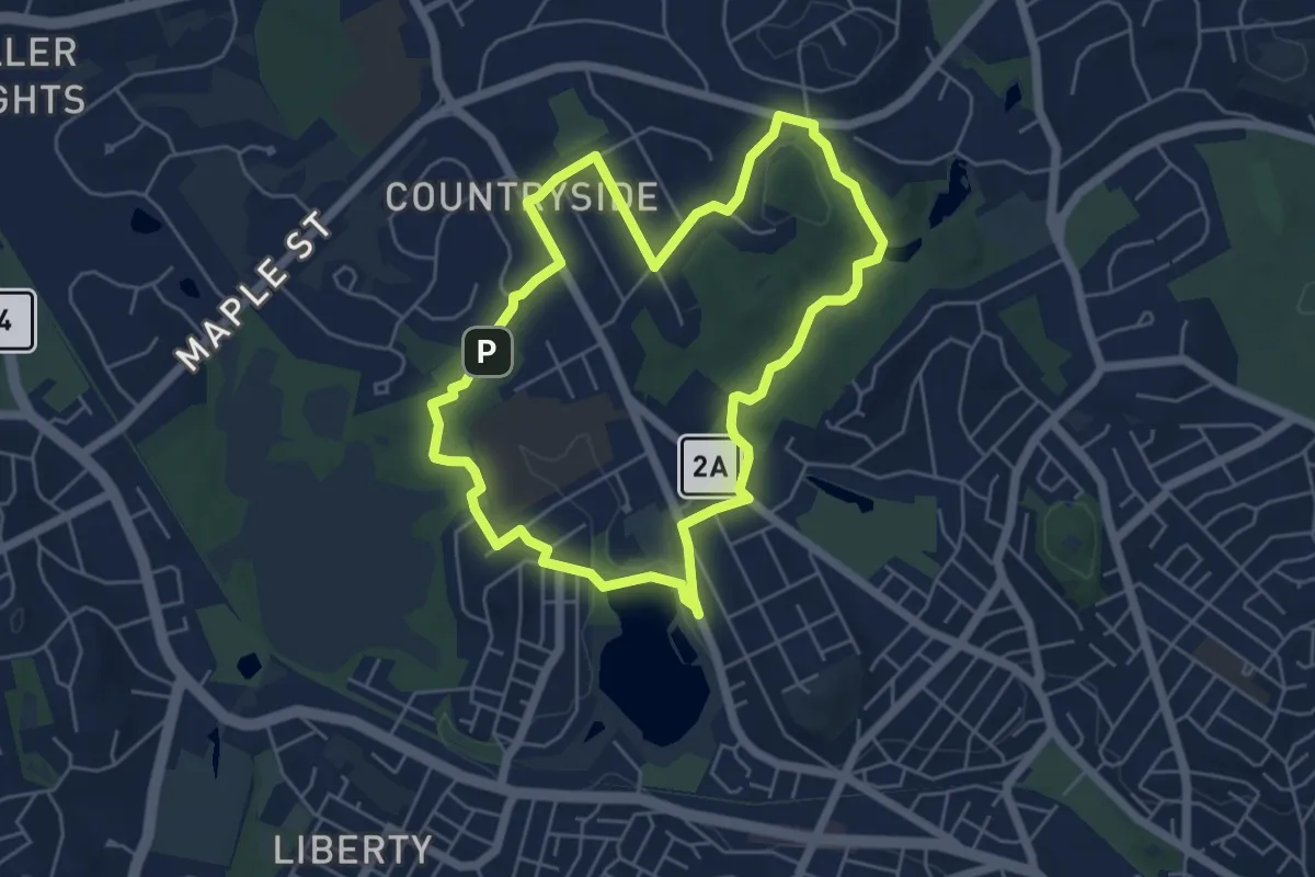
Easy · Summit
ACROSS Lexington Route L
7.0 km · ↑ 76 m · 1 h 55 min · 14 km away
Easy · Summit
ALD ACROSS Lexington Route D
5.7 km · ↑ 51 m · 1 h 32 min · 15 km away