Trails near Brewster
43 hikes starting within 15 km, nearest first.
Nearest first
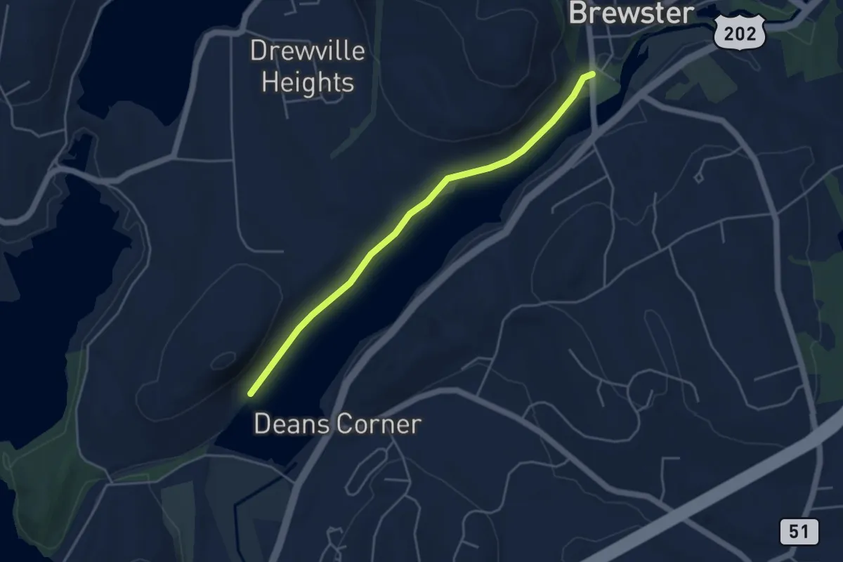
Easy · Trail
Diverting Reservoir Trail
4.7 km · ↑ 8 m · 1 h 7 min · under 1 km away
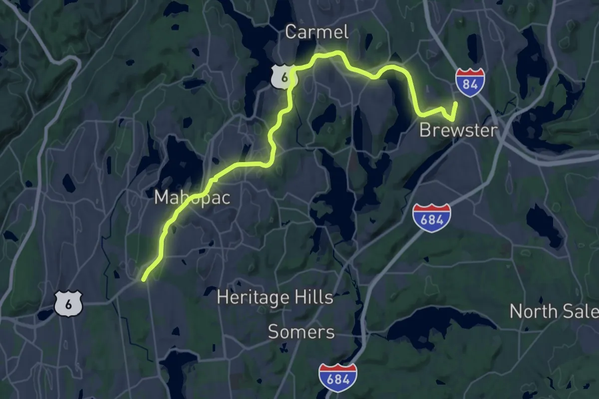
Demanding · Trail
Putnam County Trailway - hiking
19.5 km · ↑ 201 m · 5 h 17 min · 1 km away
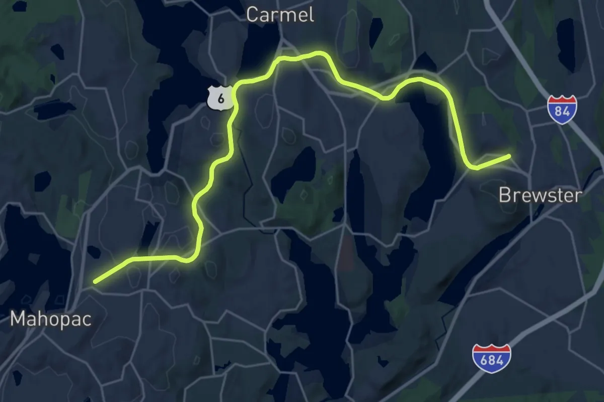
Demanding · Trail
Hudson Valley Greenway Trail (Mahopac to Brewster)
26.7 km · ↑ 225 m · 6 h 48 min · 1 km away
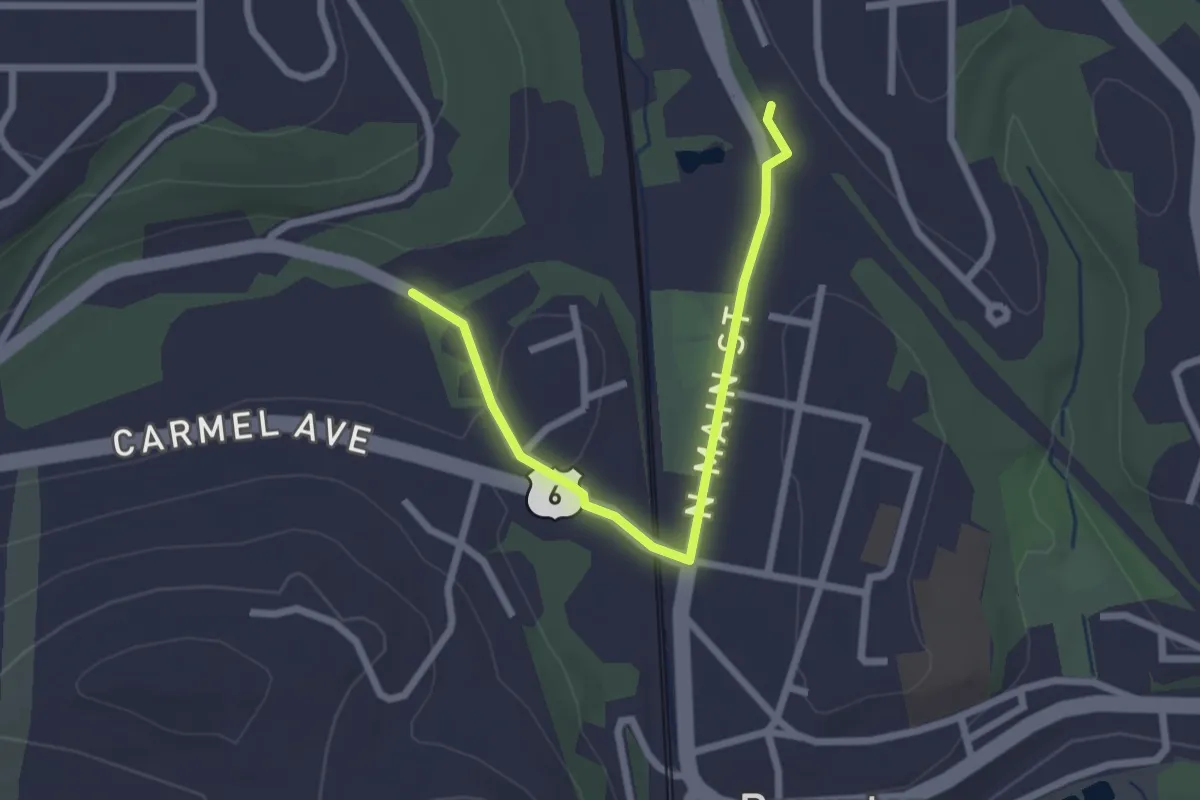
Easy · Trail
Hudson Valley Greenway Trail (Brewster Village)
2.6 km · ↑ 35 m · 42 min · 1 km away
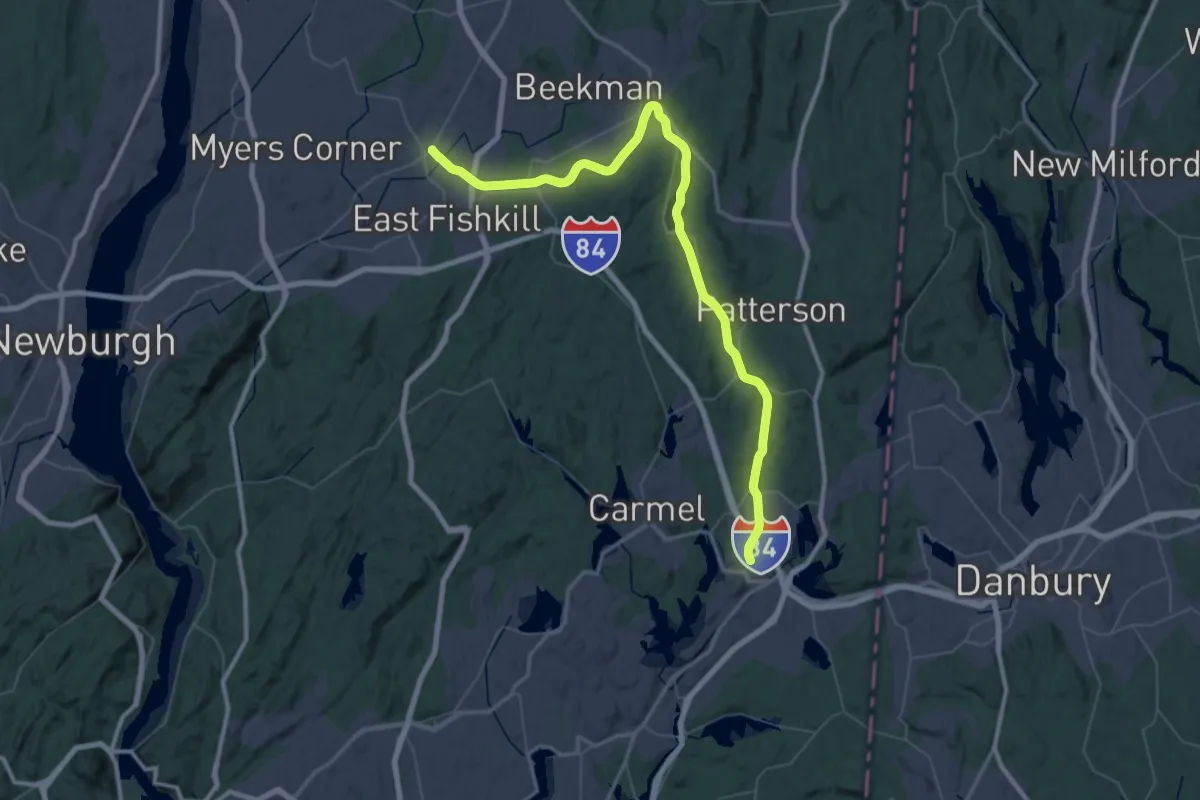
Demanding · Trail
Maybrook Trailway - hiking - Putnam Trailway to Hopewell Junction
38.4 km · ↑ 156 m · 9 h 57 min · 1 km away
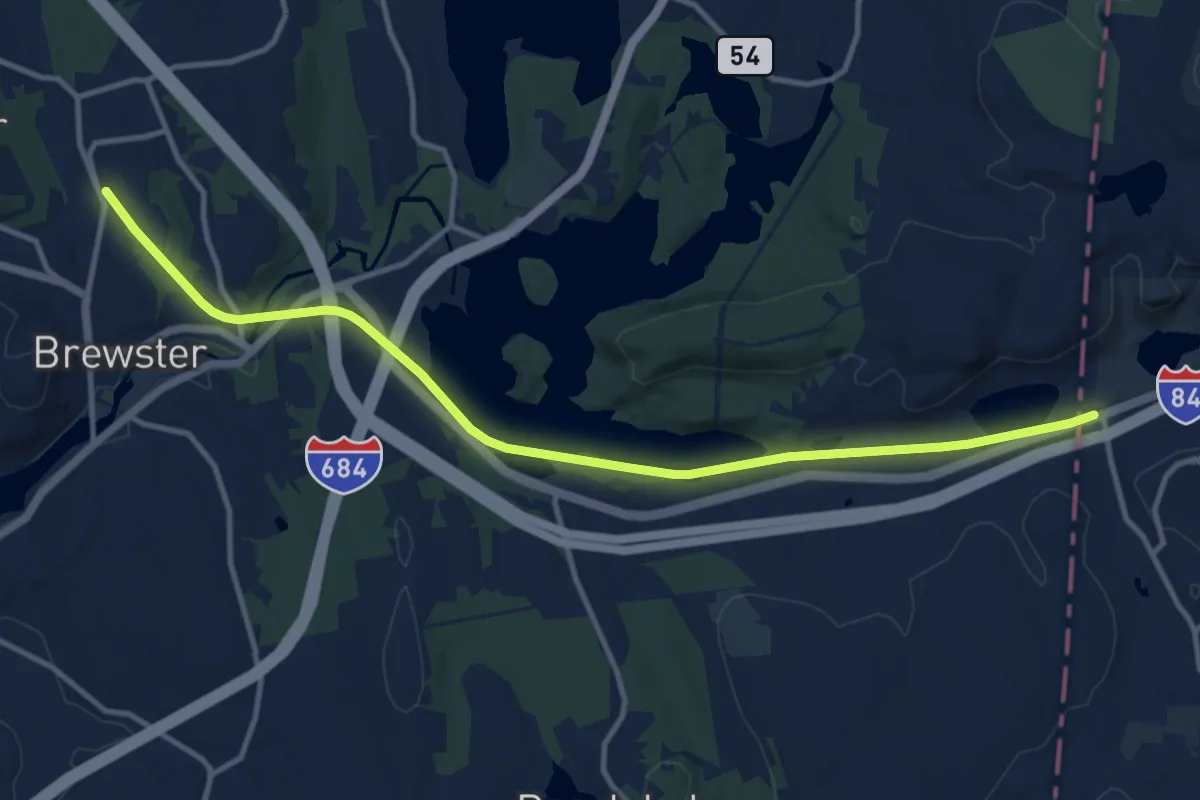
Medium · Trail
Maybrook Trailway (Putnam Trailway - CT Border)
14.3 km · ↑ 107 m · 3 h 37 min · 1 km away
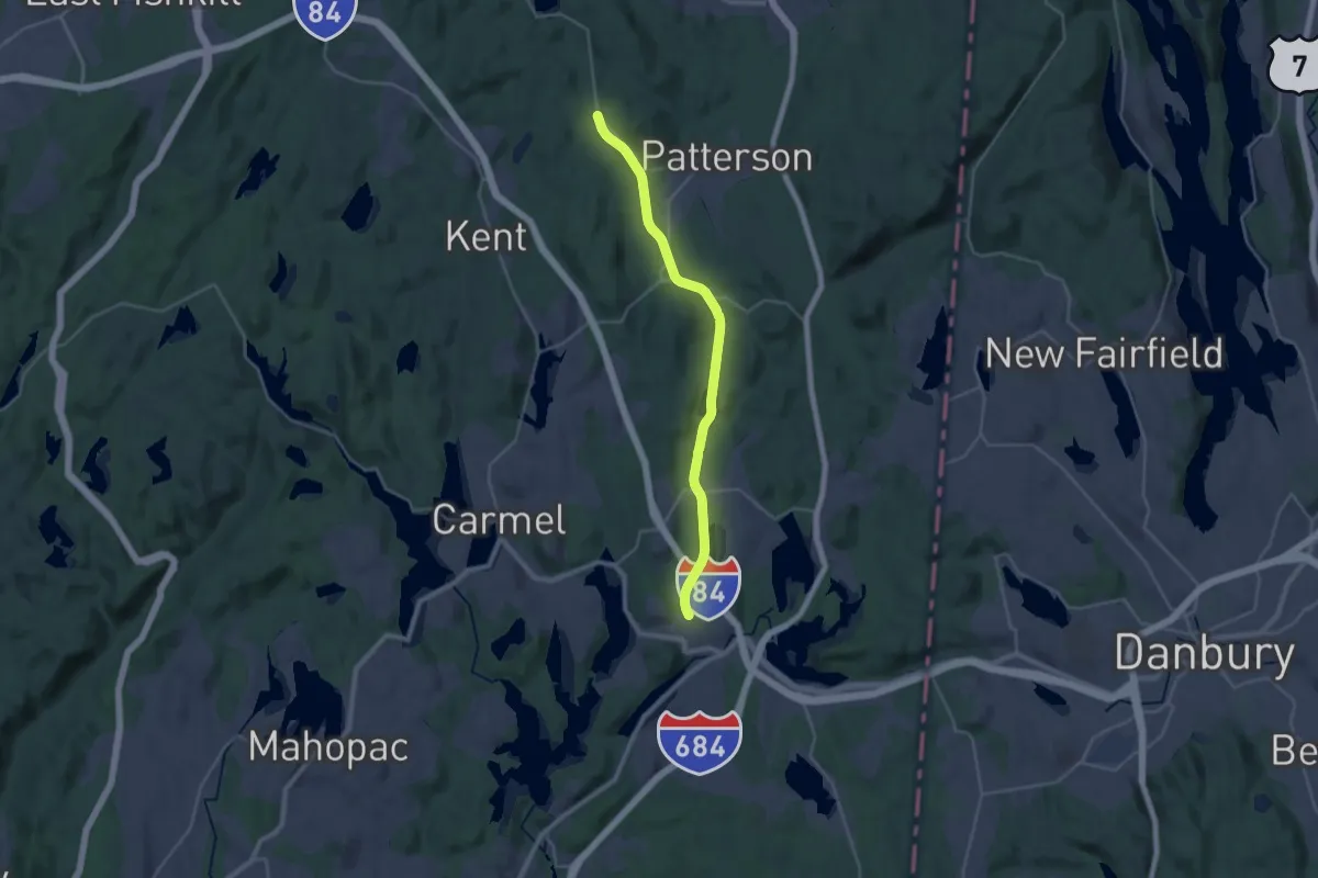
Demanding · Trail
Hudson Valley Greenway Trail (Brewster to Pawling)
29.7 km · ↑ 100 m · 7 h 13 min · 1 km away
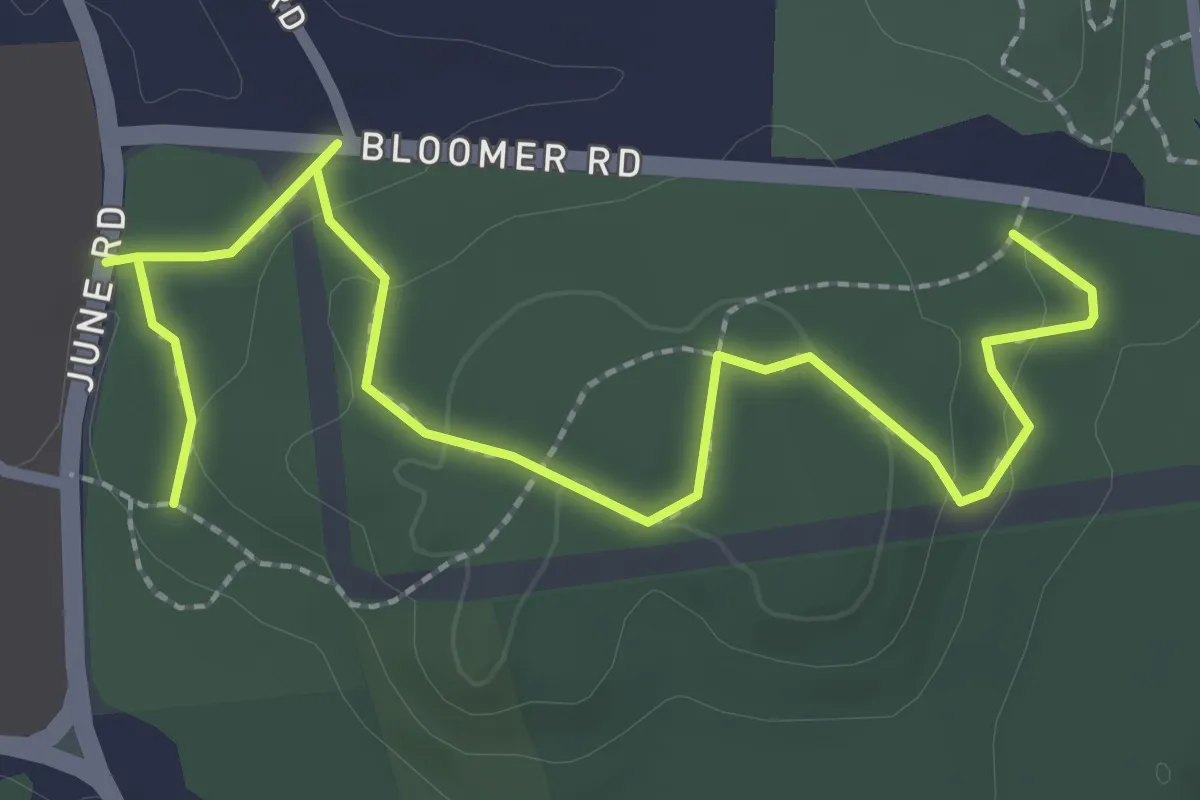
Easy · Trail
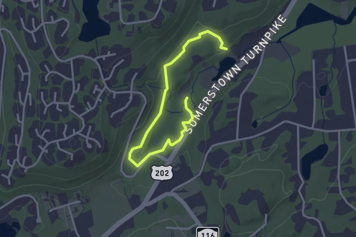
White Trail
3.5 km · ↑ 82 m · 1 h · 5 km away
Easy · Trail
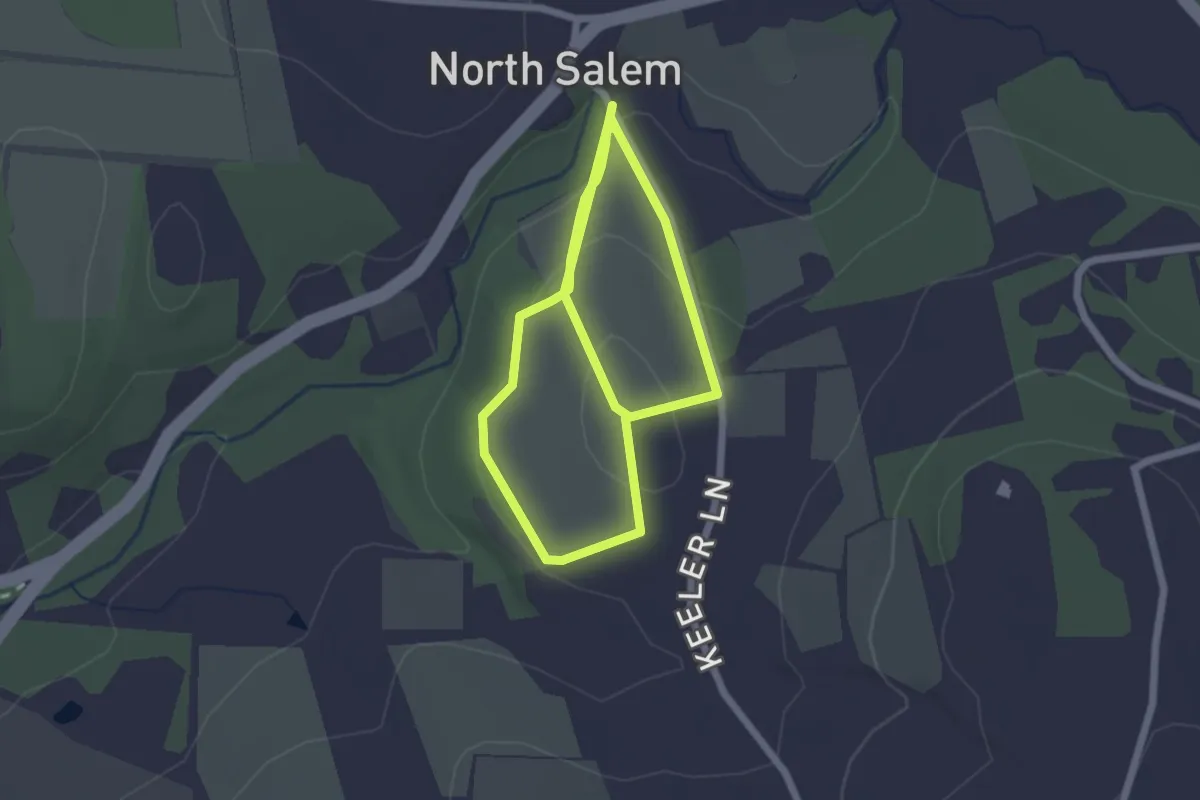
Green Trail
3.4 km · ↑ 59 m · 56 min · 8 km away
Easy · Trail
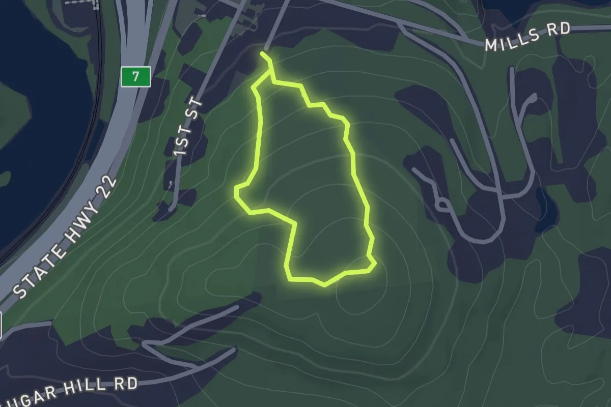
Hayfield on Keeler Trail
4.3 km · ↑ 142 m · 1 h 20 min · 8 km away
Easy · Trail
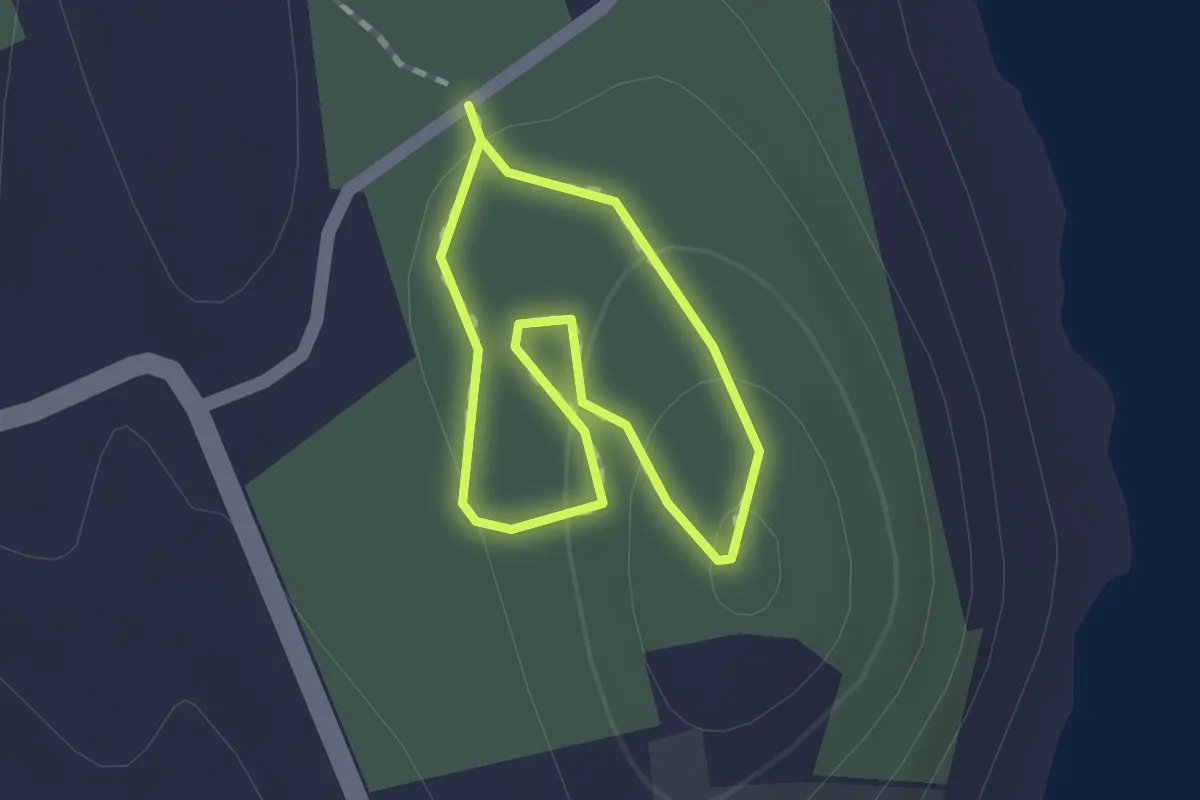
Yellow Trail
1.5 km · ↑ 77 m · 32 min · 8 km away
Easy · Trail
Yellow Trail
1.2 km · ↑ 35 m · 22 min · 9 km away
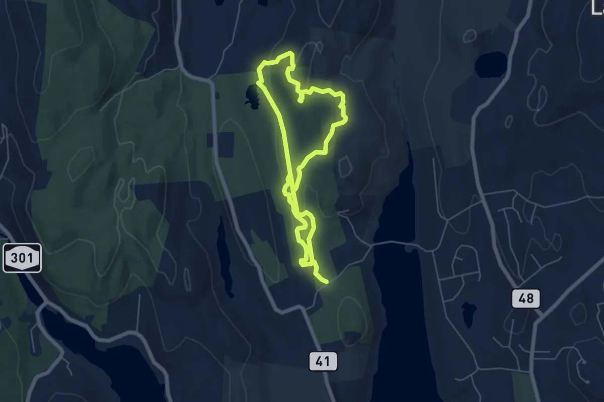
Medium · Trail
blue
10.4 km · ↑ 215 m · 2 h 55 min · 9 km away
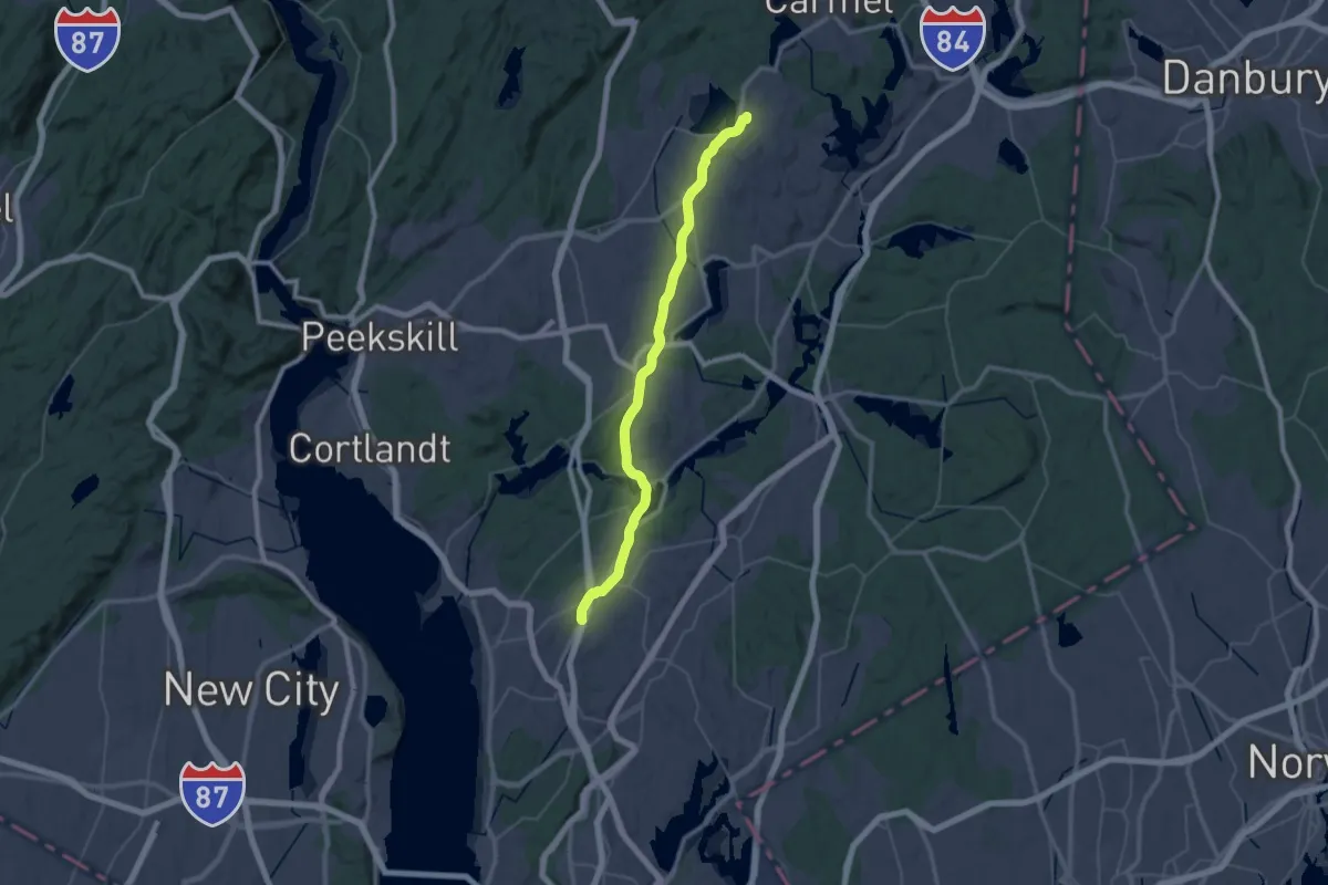
Demanding · Trail
Hudson Valley Greenway Trail (New Castle to Mahopac)
26.2 km · ↑ 129 m · 6 h 52 min · 9 km away
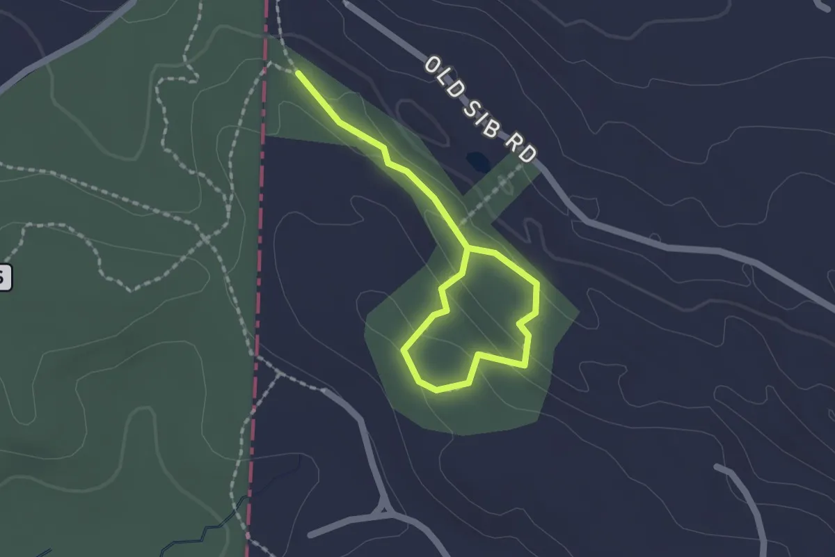
Easy · Trail
Old Sib Preserve Loop
1.1 km · ↑ 37 m · 21 min · 10 km away
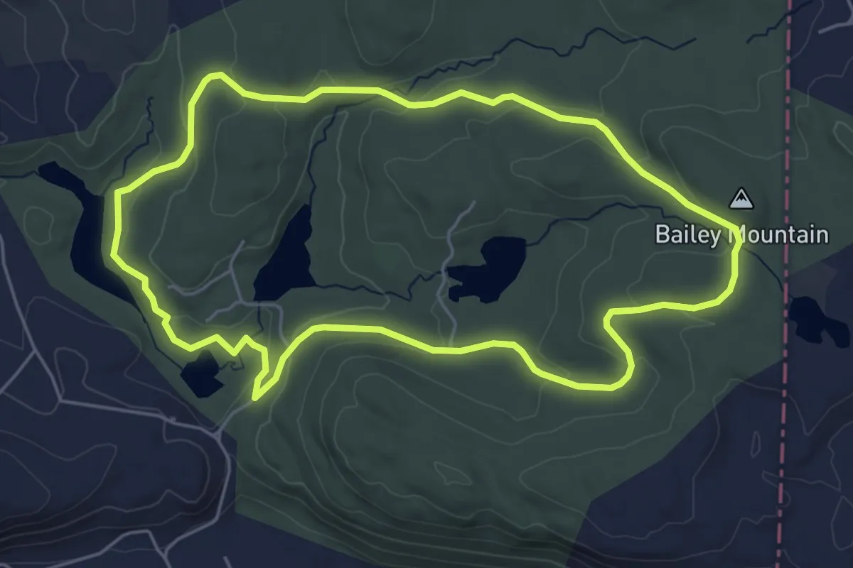
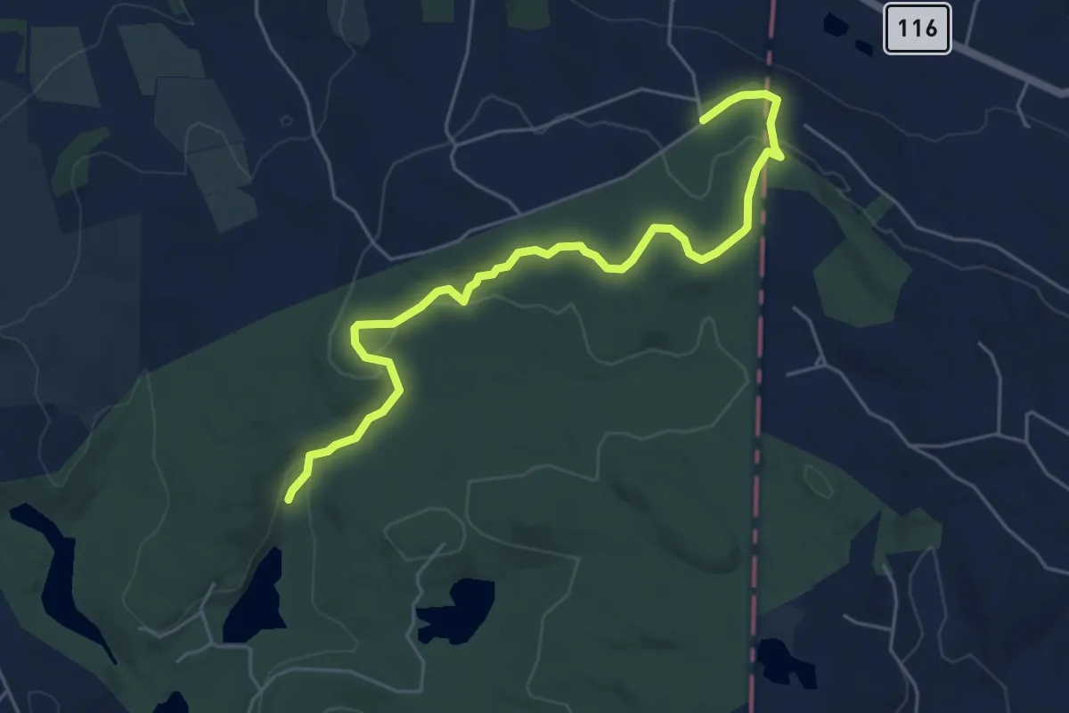
Easy · Summit
Orange Trail
5.8 km · ↑ 130 m · 1 h 43 min · 10 km away
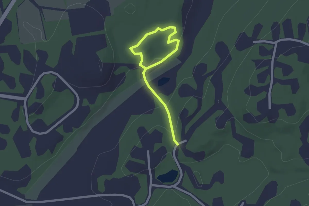
Easy · Trail
Old Sib Trail
6.4 km · ↑ 155 m · 1 h 50 min · 10 km away
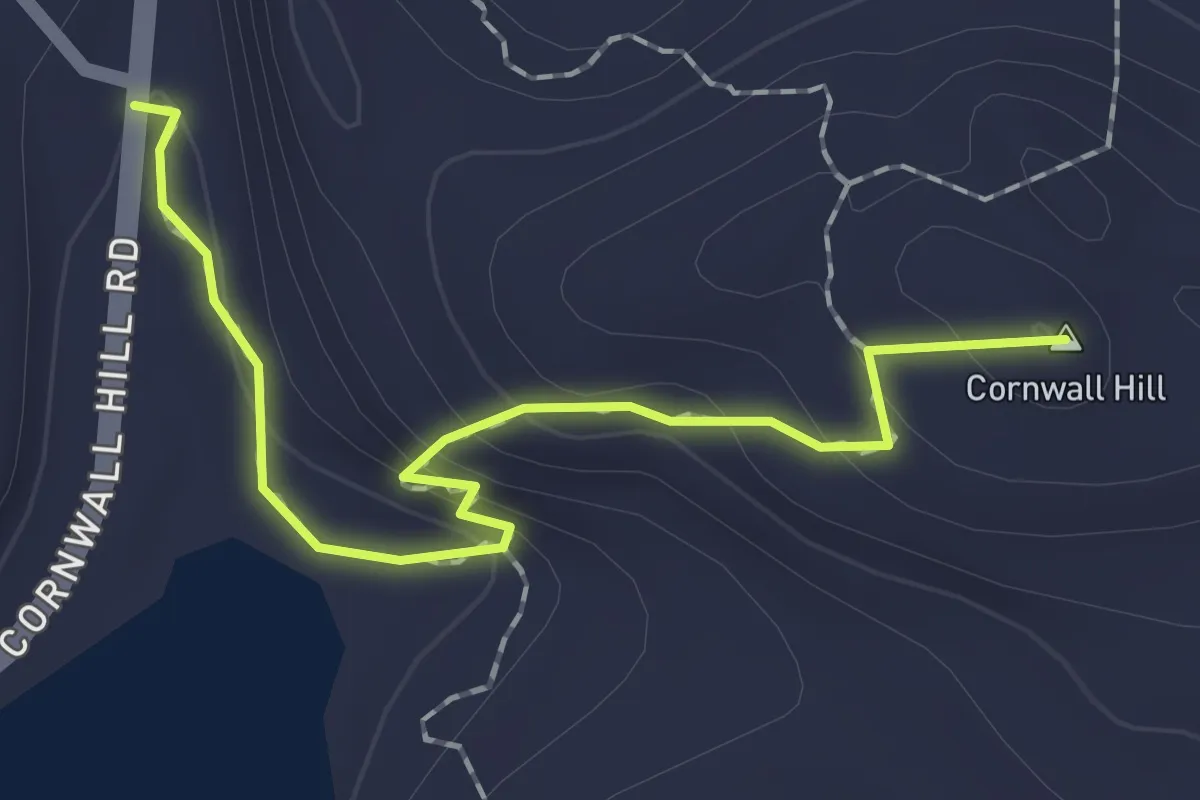
Easy · Trail
Orange Trail
2.3 km · ↑ 62 m · 41 min · 10 km away
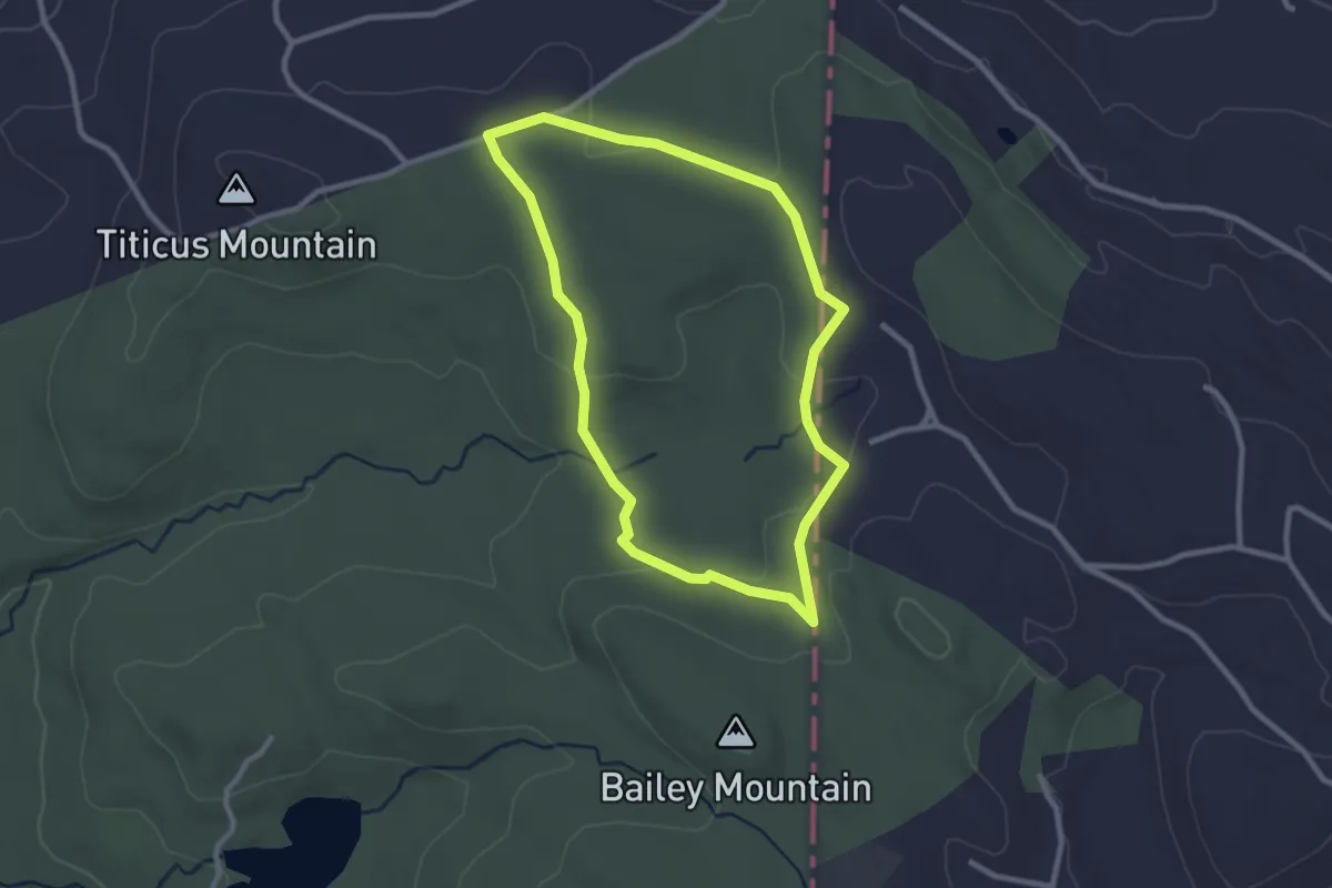
Easy · Summit
Cliff Trail
2.0 km · ↑ 130 m · 46 min · 10 km away
Easy · Trail
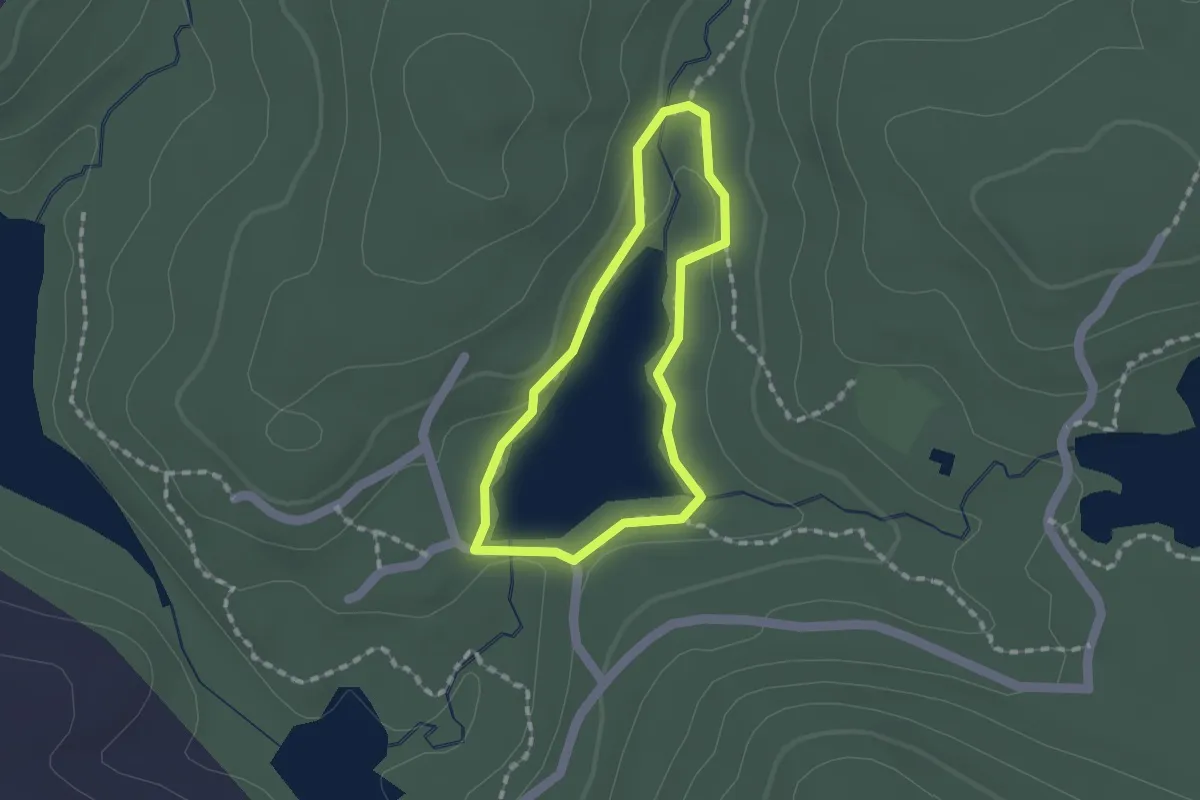
Yellow Trail
2.7 km · ↑ 51 m · 47 min · 10 km away
Easy · Trail
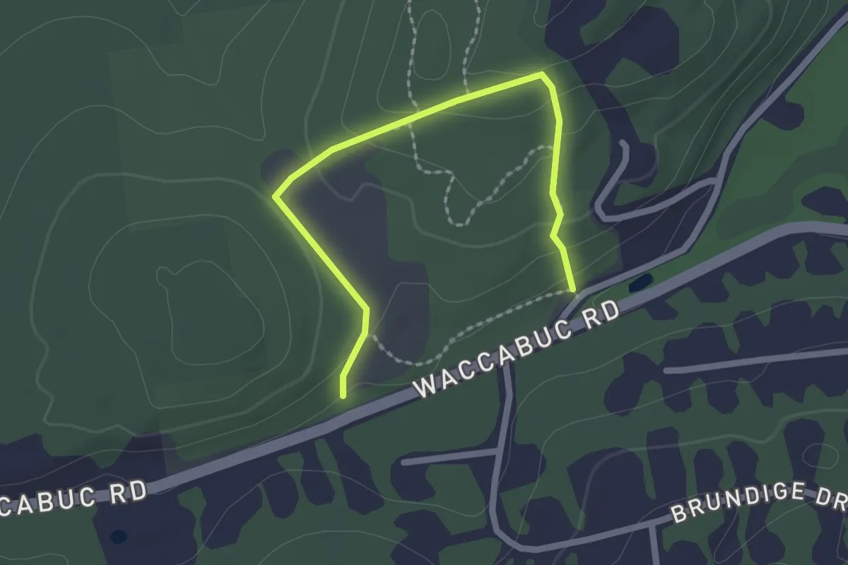
Spruce Lake Trail
1.3 km · ↑ 15 m · 22 min · 10 km away
Easy · Trail
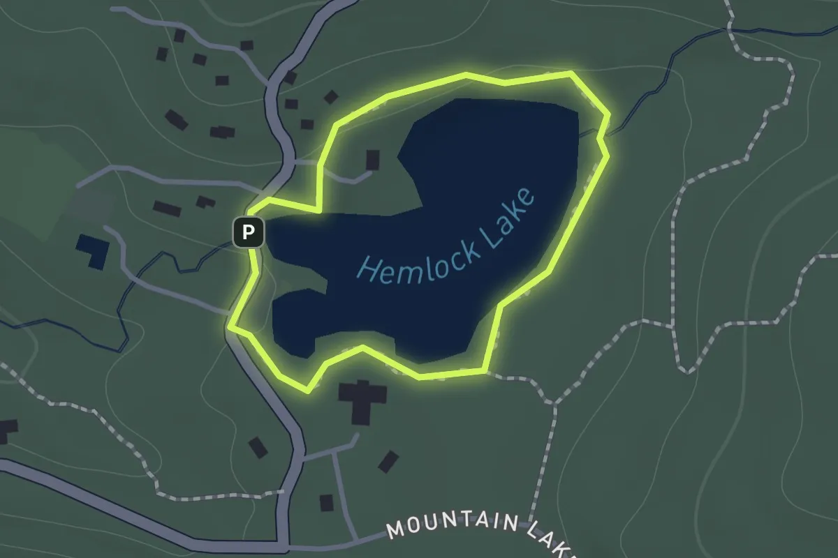
White Trail
2.4 km · ↑ 103 m · 47 min · 10 km away
Easy · Trail
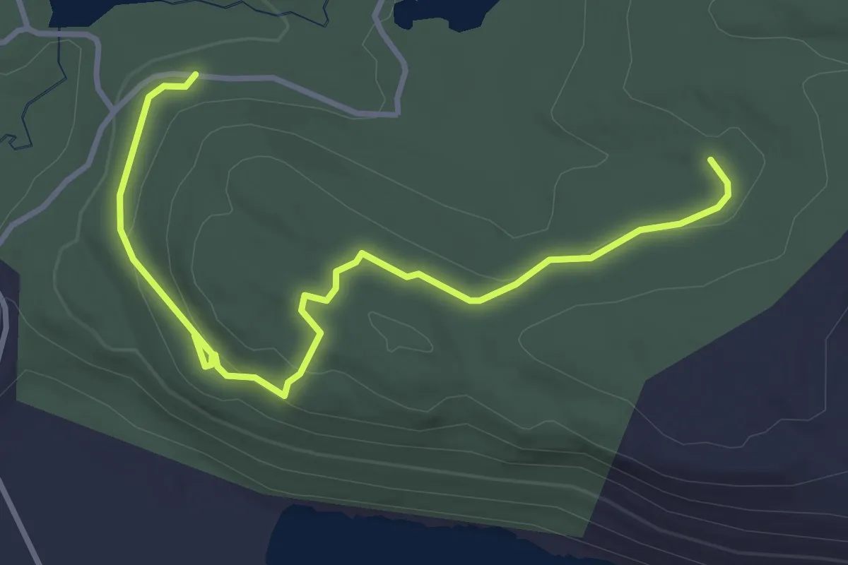
Hemlock Lake Trail
1.0 km · ↑ 15 m · 17 min · 10 km away
Easy · Trail
White Trail
4.3 km · ↑ 107 m · 1 h 14 min · 10 km away
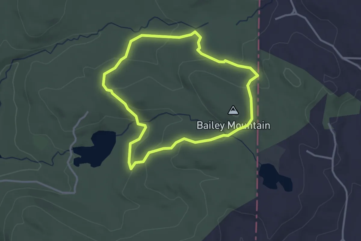
Easy · Summit
Blue Trail
3.0 km · ↑ 93 m · 58 min · 11 km away
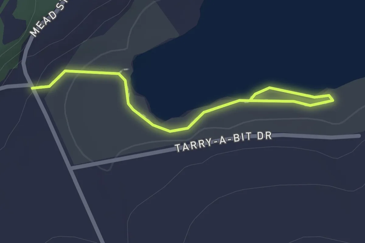
Easy · Trail
Yellow Trail
2.1 km · ↑ 15 m · 32 min · 11 km away
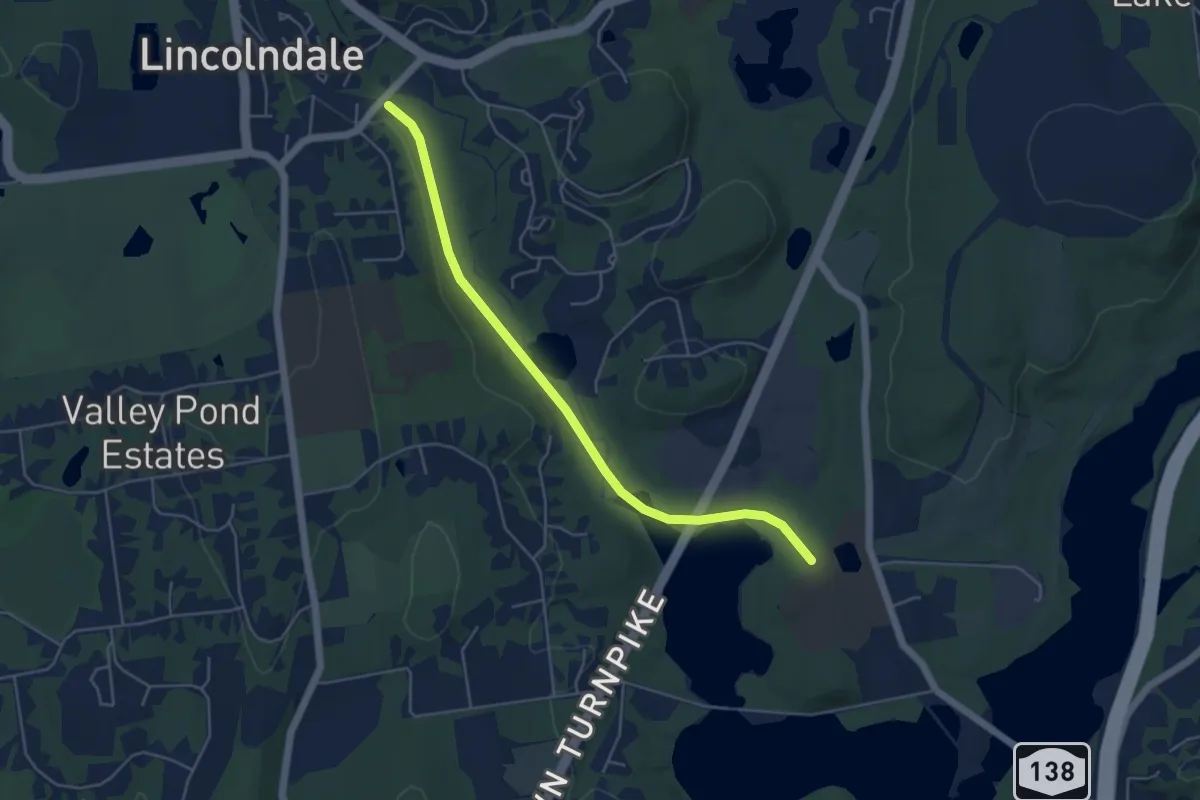
Easy · Trail
Kennedy Rail Trail
5.5 km · ↑ 47 m · 1 h 24 min · 12 km away
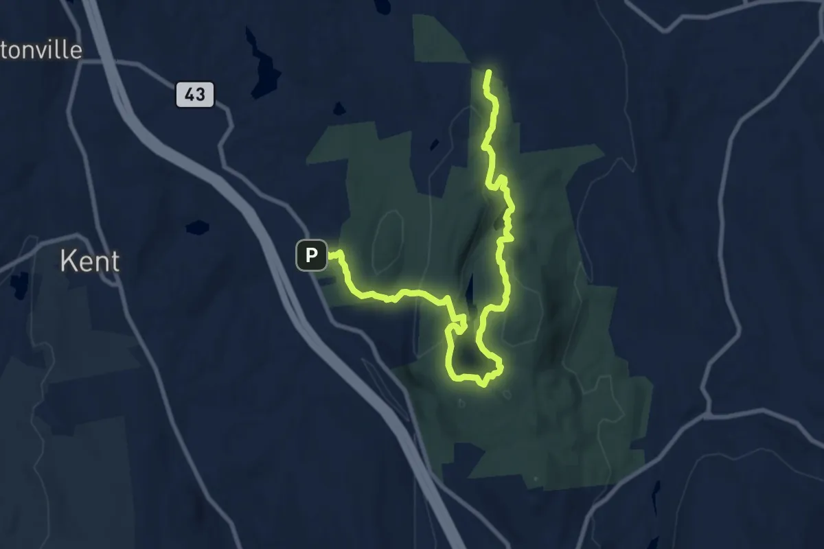
Medium · Trail
Highlands Trail
11.4 km · ↑ 329 m · 3 h 24 min · 12 km away
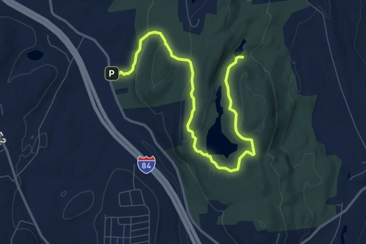
Medium · Trail
Yellow Trail
9.5 km · ↑ 261 m · 2 h 49 min · 12 km away
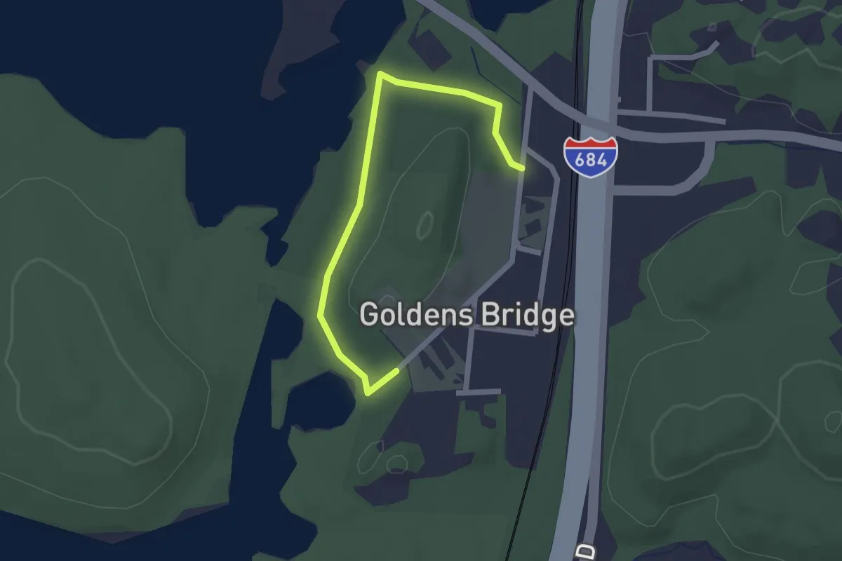
Easy · Trail
Old Goldens Bridge Loop
2.2 km · ↑ 8 m · 32 min · 12 km away
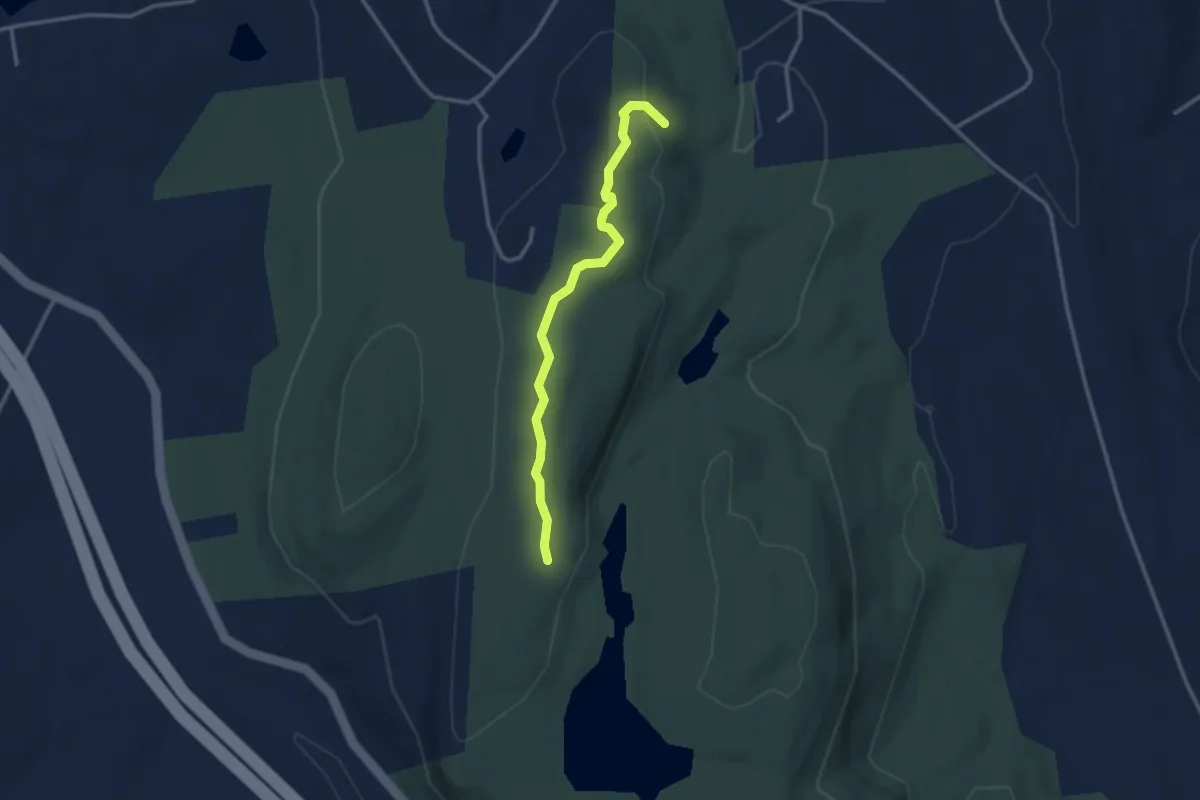
Easy · Trail
Blue Trail
3.1 km · ↑ 55 m · 51 min · 12 km away
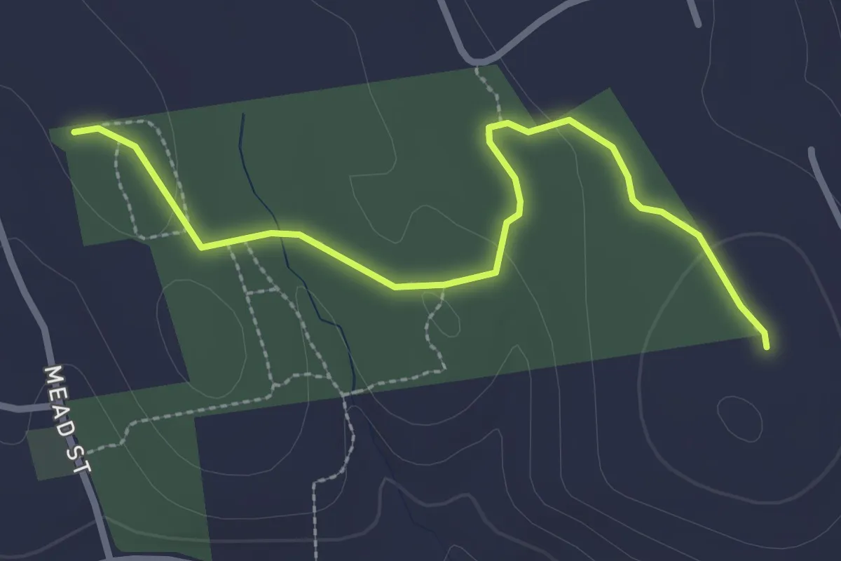
Easy · Trail
Blue / Red Trail
3.1 km · ↑ 41 m · 49 min · 12 km away
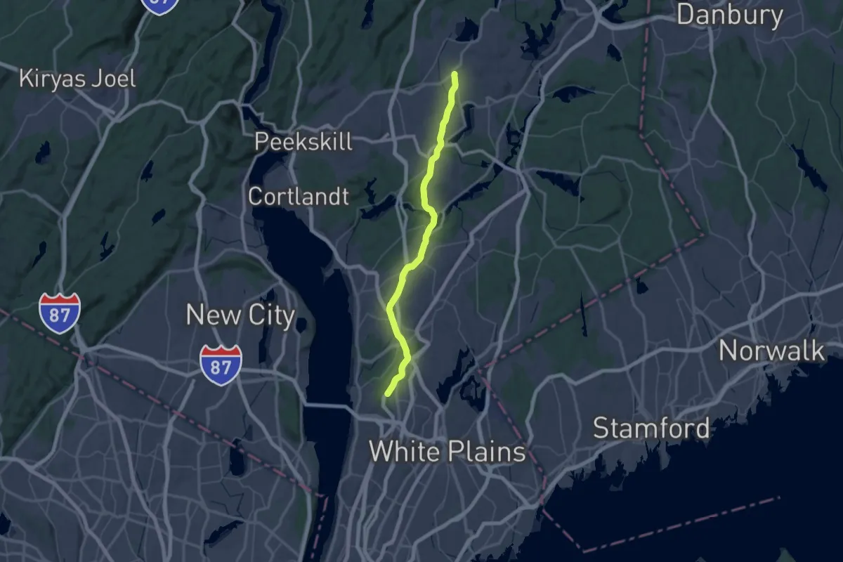
Demanding · Trail
North County Trailway - hiking
33.0 km · ↑ 142 m · 8 h 37 min · 13 km away
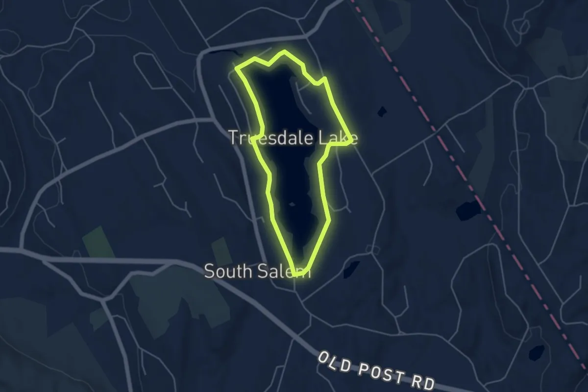
Easy · Trail
Lake 2.5 mile Loop
4.3 km · ↑ 44 m · 1 h 10 min · 13 km away
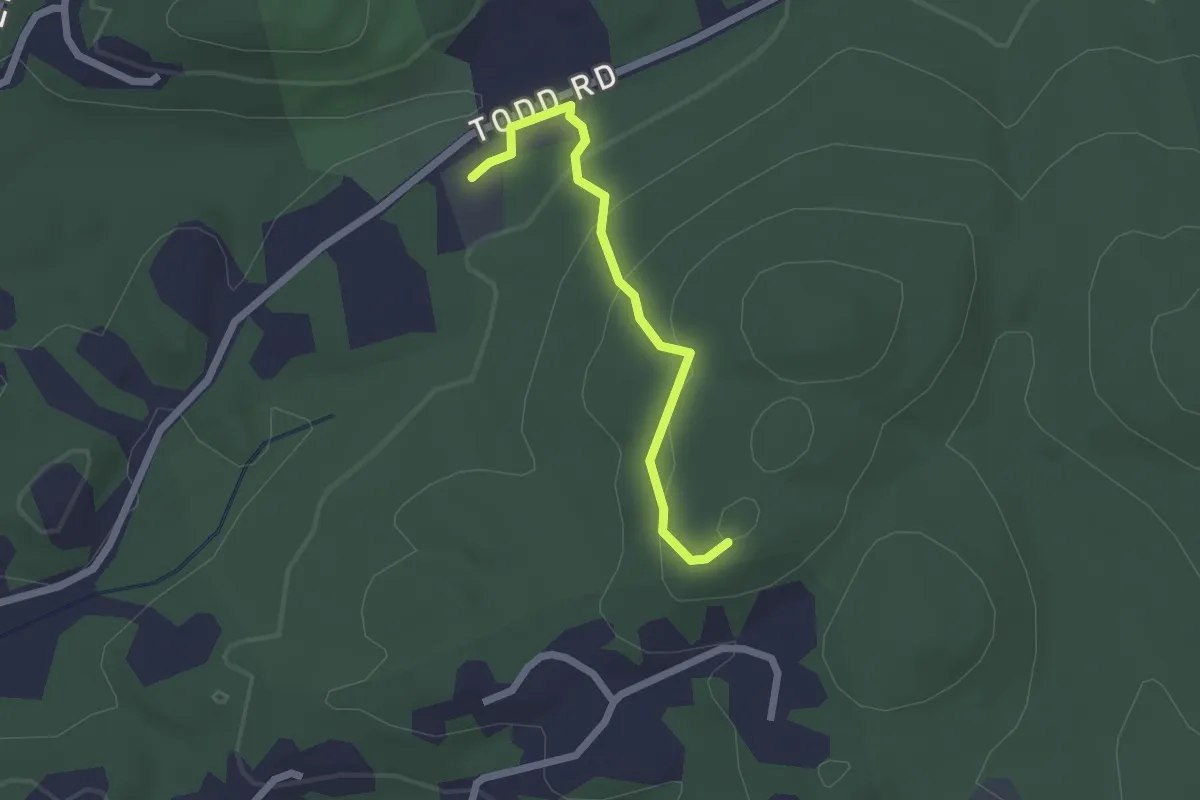
Easy · Trail
Bauer Meadow Hill Trail
2.1 km · ↑ 111 m · 43 min · 13 km away
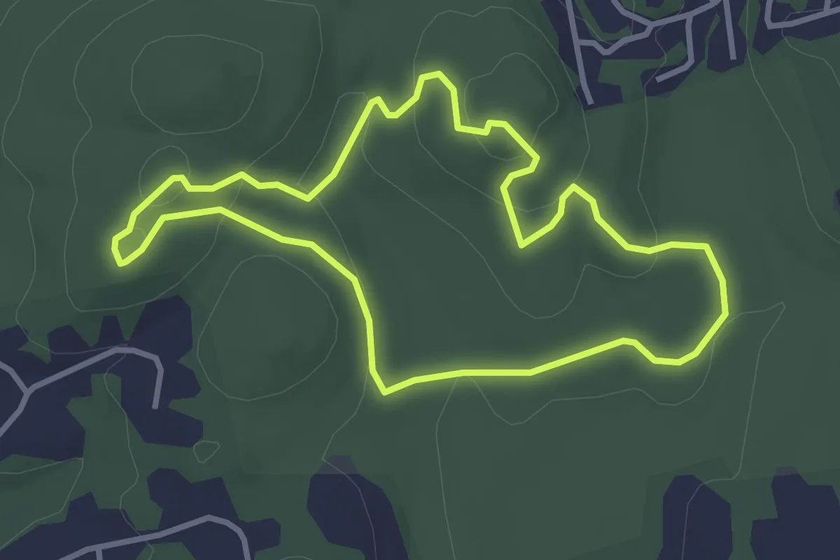
Easy · Trail
Blue Trail
3.2 km · ↑ 122 m · 1 h 4 min · 13 km away
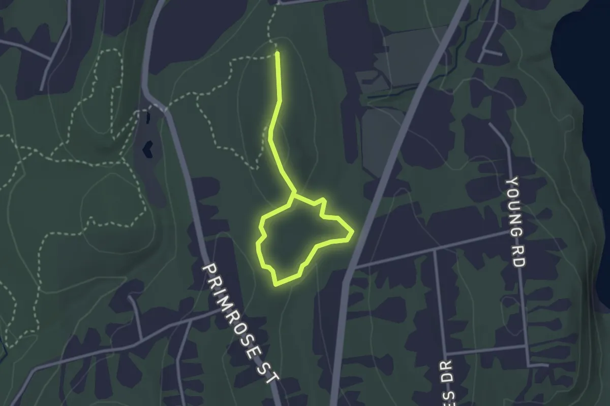
Easy · Trail
Green Loop
3.5 km · ↑ 76 m · 1 h · 13 km away
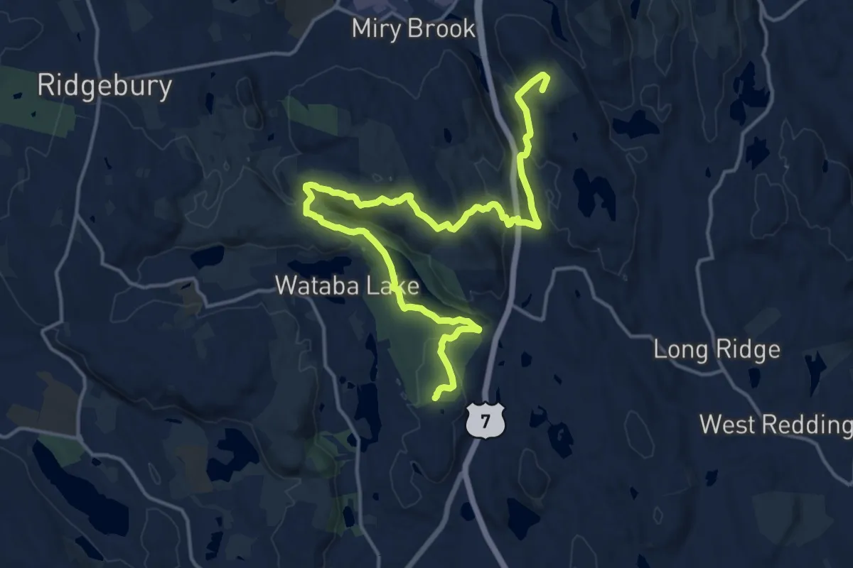
Demanding · Summit
Ives Trail Greenway
19.7 km · ↑ 649 m · 6 h 3 min · 14 km away
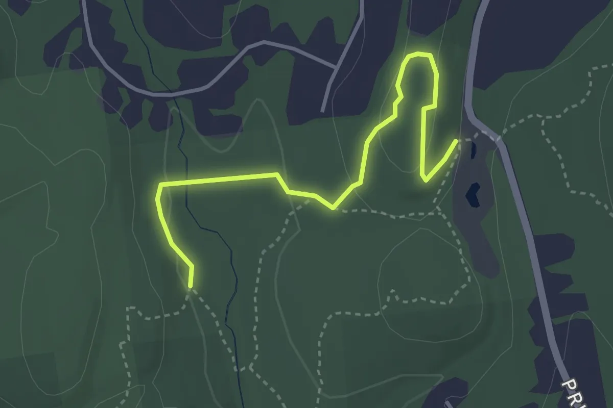
Easy · Trail
White Trail
3.8 km · ↑ 85 m · 1 h 5 min · 14 km away
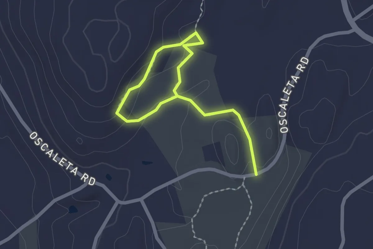
Easy · Trail
West Mountain Refuge North Loop
2.4 km · ↑ 39 m · 39 min · 14 km away
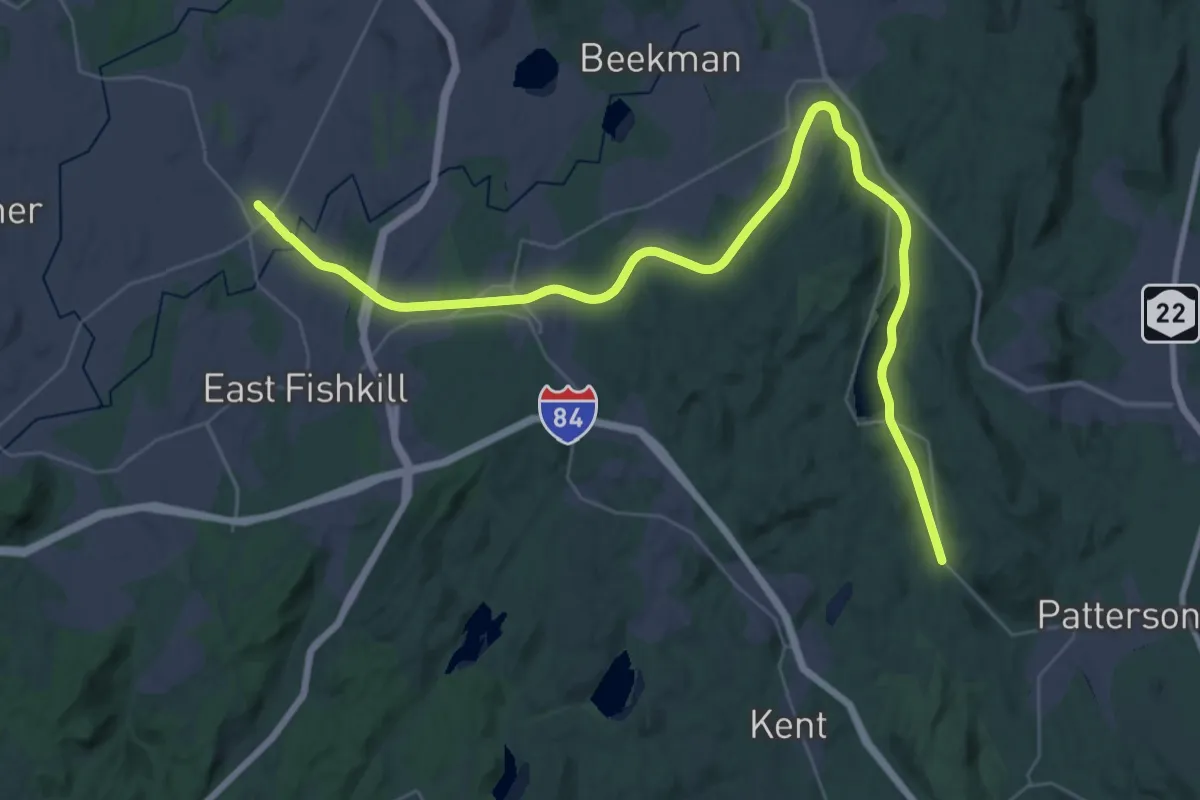
Demanding · Trail
Hudson Valley Greenway Trail (Pawling to Hopewell Junction)
23.9 km · ↑ 72 m · 6 h 11 min · 15 km away
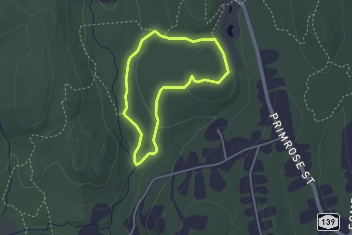
Easy · Trail
Yellow Loop
2.5 km · ↑ 62 m · 45 min · 15 km away
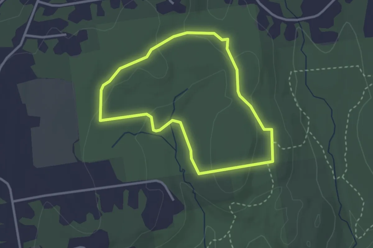
Easy · Trail
Red Loop
2.6 km · ↑ 70 m · 48 min · 15 km away