Trails near Catonsville
19 hikes starting within 15 km, nearest first.
Nearest first
Easy · Trail
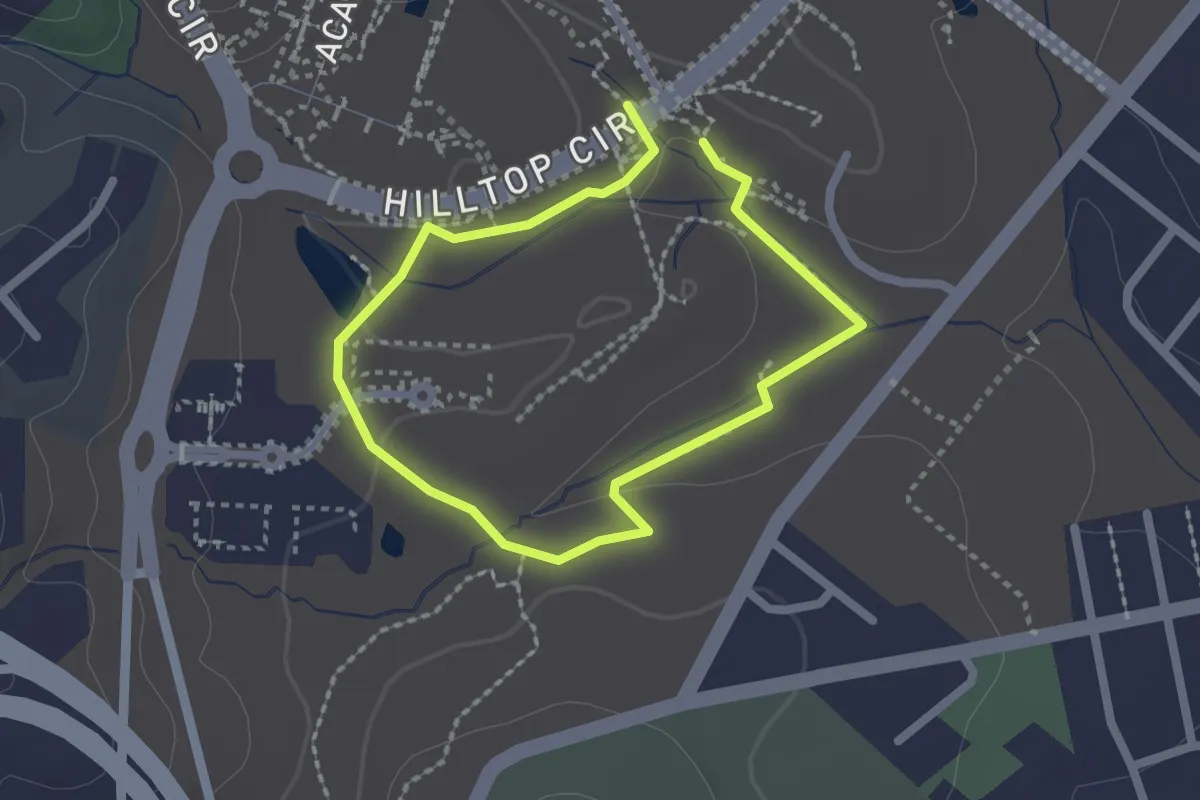
Herbert Run Greenway
1.8 km · ↑ 18 m · 29 min · 3 km away
Easy · Trail
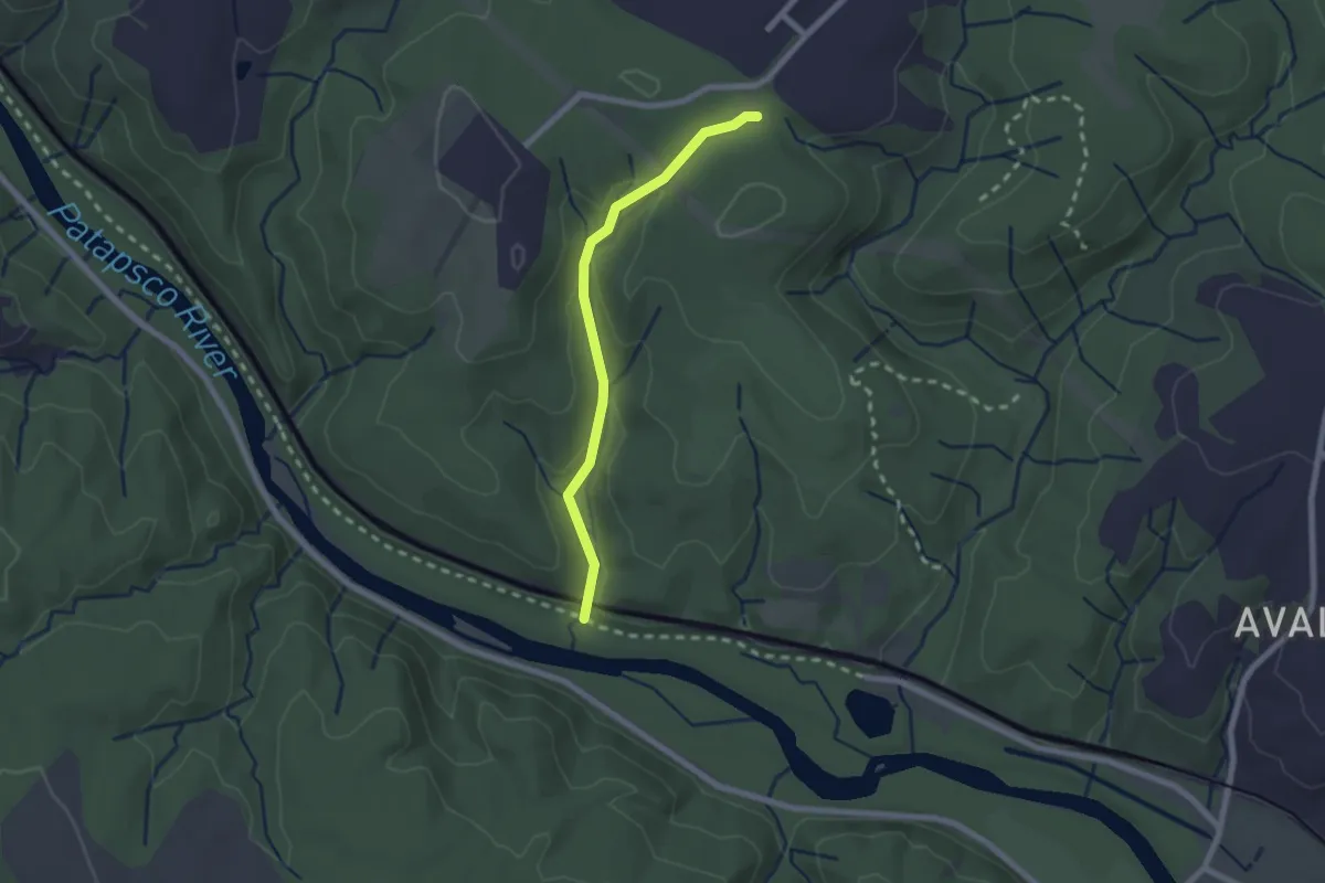
Vineyard Spring Trail
2.2 km · ↑ 74 m · 41 min · 4 km away
Demanding · Trail
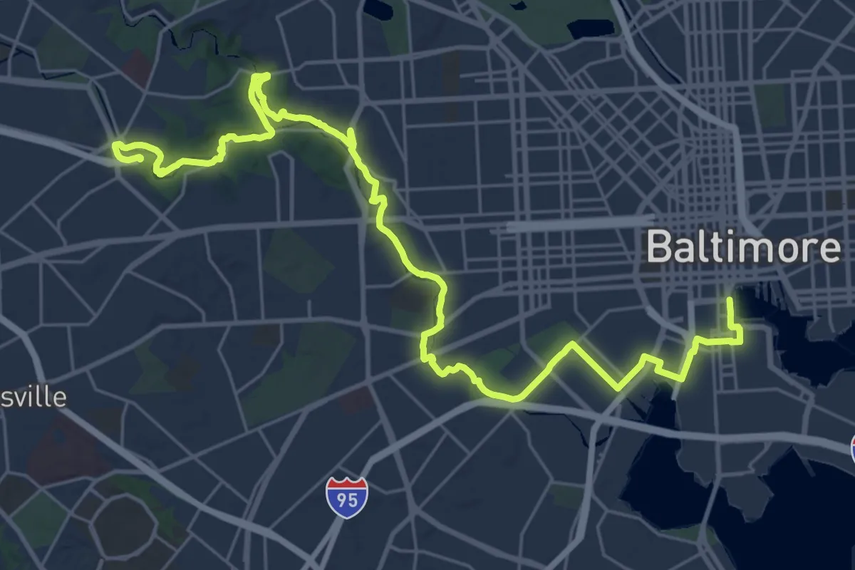
Gwynns Falls Trail (Inbound)
18.2 km · ↑ 73 m · 4 h 46 min · 4 km away
Medium · Trail
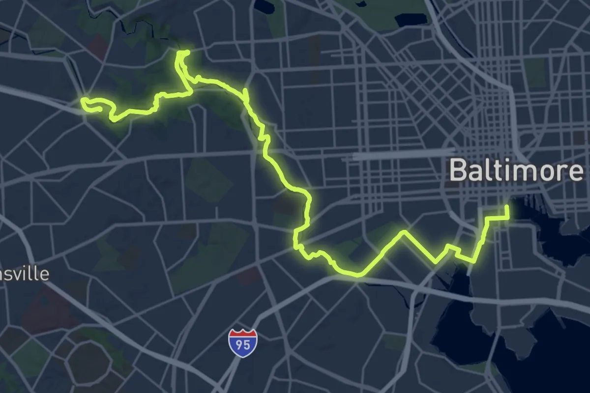
Gwynns Falls Trail (Outbound)
17.9 km · ↑ 64 m · 4 h 39 min · 4 km away
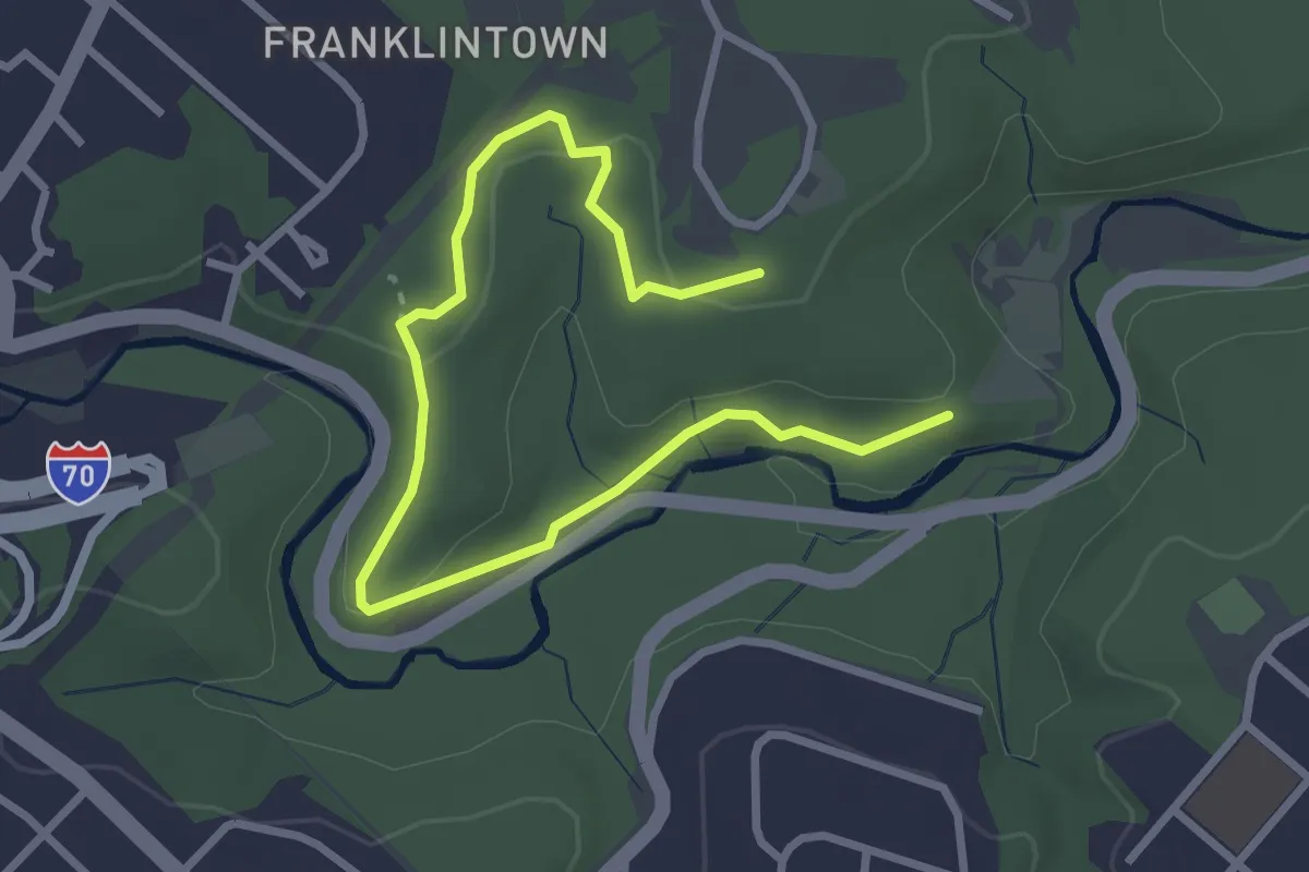
Easy · Trail
Old Franklintown Loop Trail
4.2 km · ↑ 96 m · 1 h 12 min · 5 km away
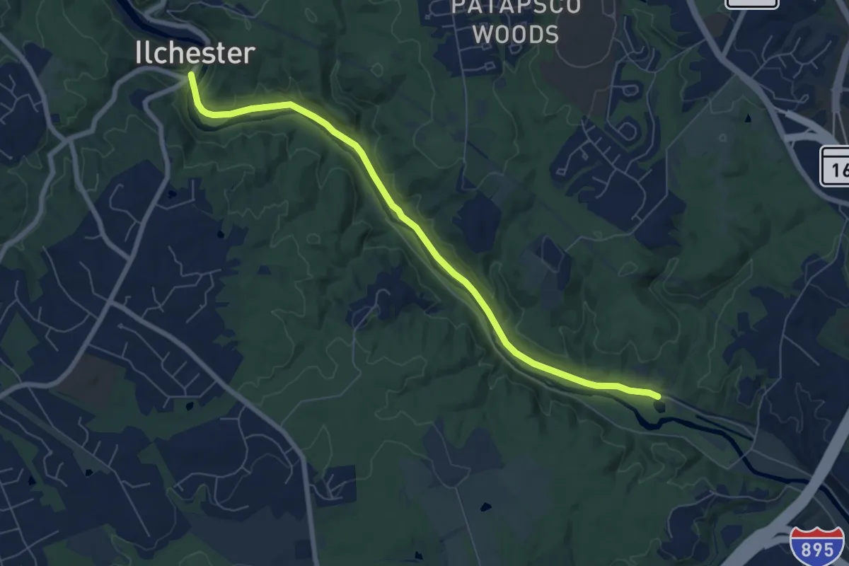
Medium · Trail
Grist Mill Trail
8.1 km · ↑ 52 m · 2 h 2 min · 5 km away
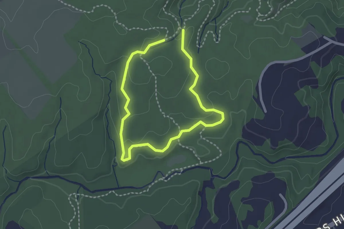
Easy · Trail
Rockburn Branch Trail
1.7 km · ↑ 26 m · 28 min · 5 km away
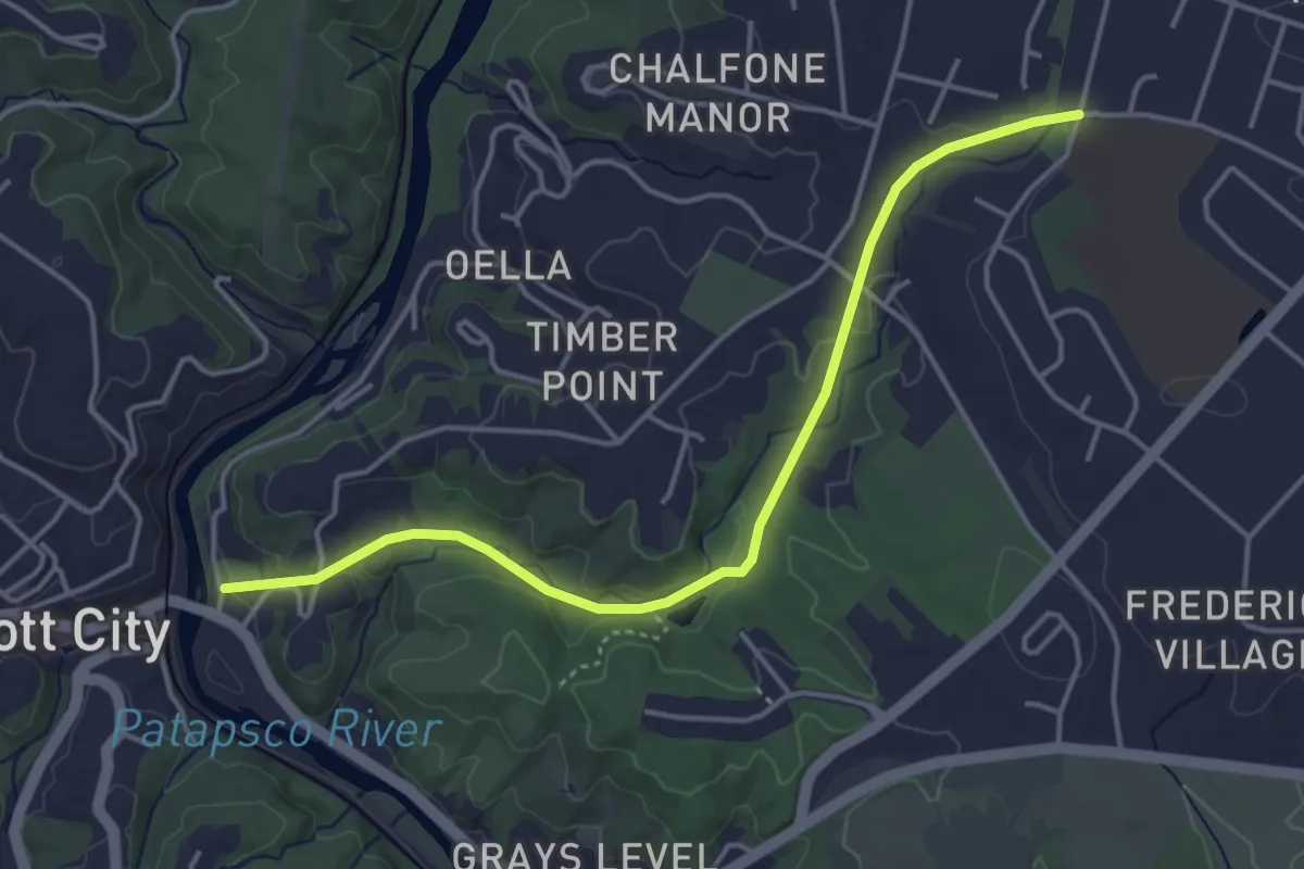
Easy · Trail
Trolley Line #9 Trail
4.9 km · ↑ 79 m · 1 h 19 min · 5 km away
Easy · Trail
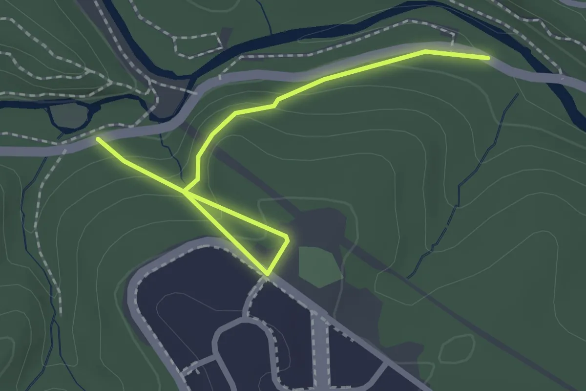
Gelston Heights Trail
2.5 km · ↑ 111 m · 50 min · 6 km away
Easy · Trail
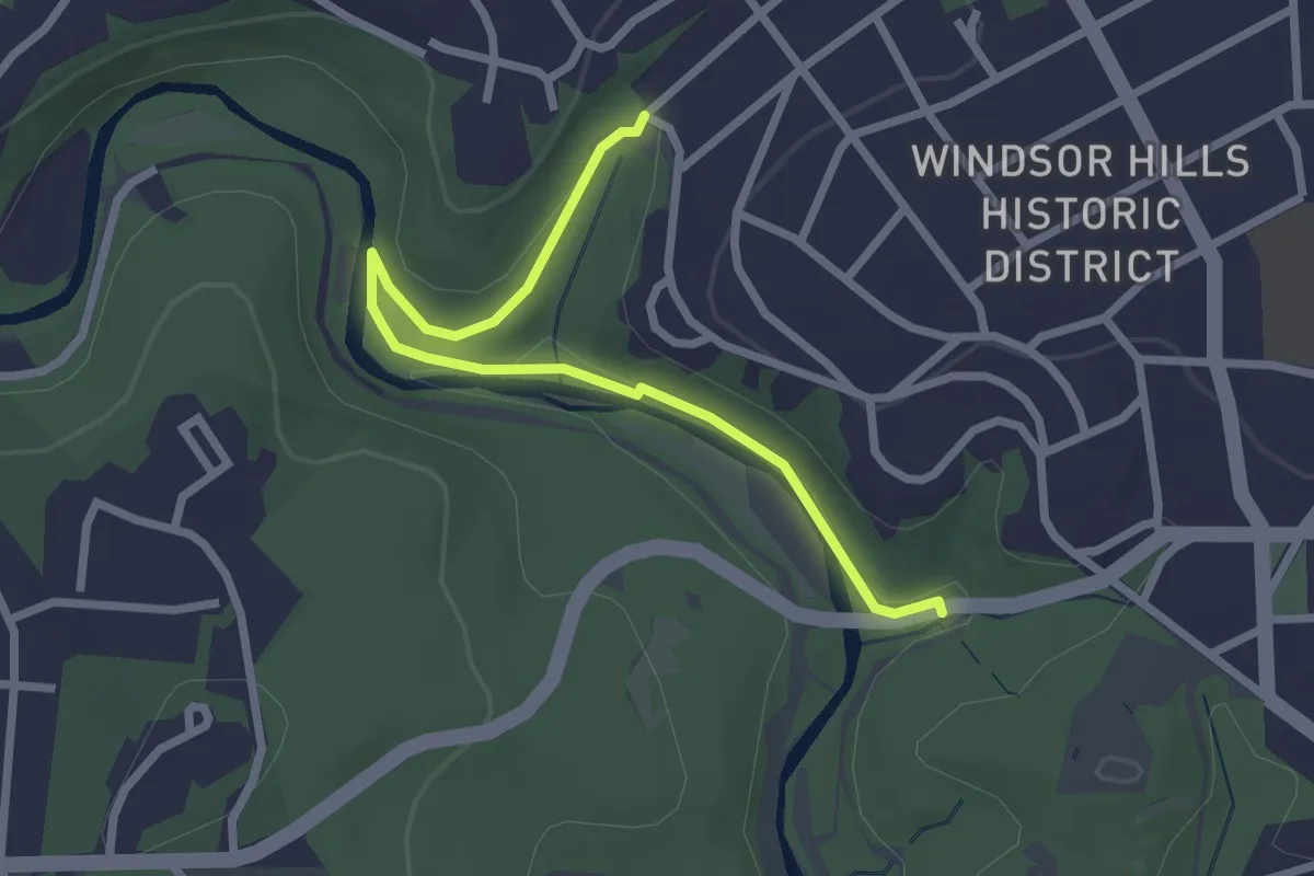
Windsor Hills Conservation Trail
3.0 km · ↑ 22 m · 45 min · 6 km away
Easy · Trail
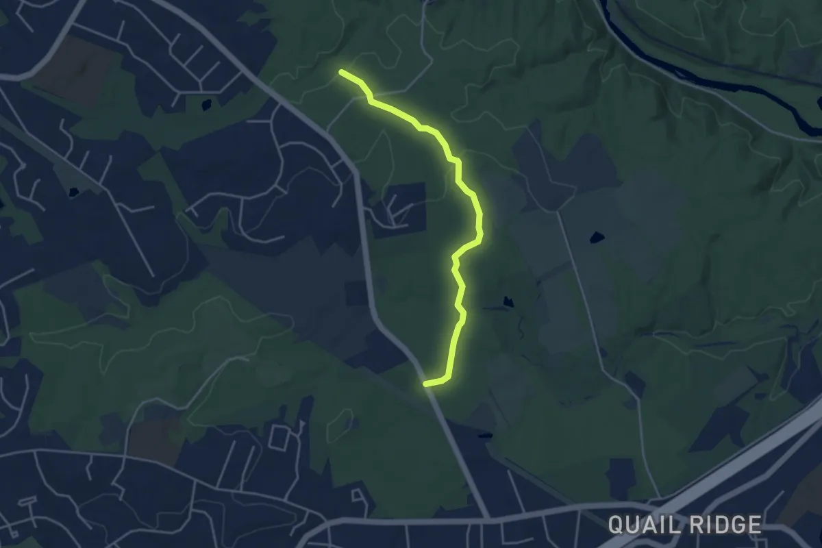
Morning Choice Trail
4.2 km · ↑ 82 m · 1 h 10 min · 6 km away
Medium · Trail
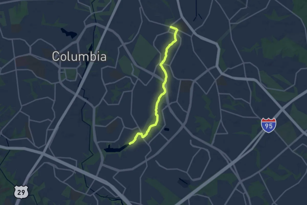
Elkhorn Branch Trail
12.2 km · ↑ 63 m · 3 h 1 min · 9 km away
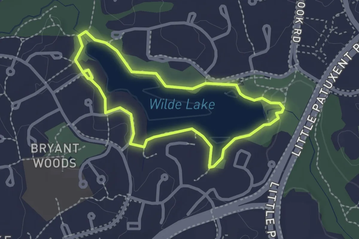
Easy · Trail
Wilde Lake Loop
2.2 km · ↑ 14 m · 35 min · 13 km away
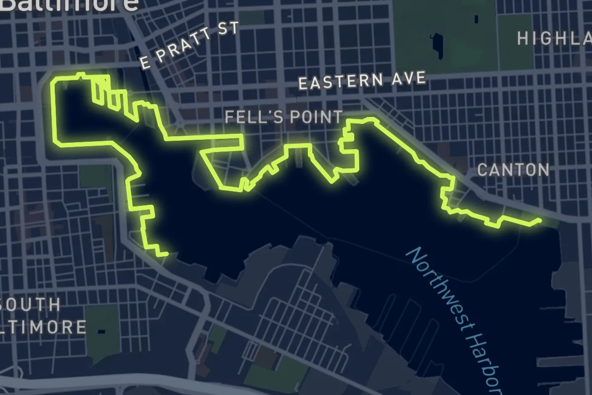
Demanding · Trail
Baltimore Waterfront Promenade
19.8 km · ↑ 0 m · 4 h 40 min · 14 km away
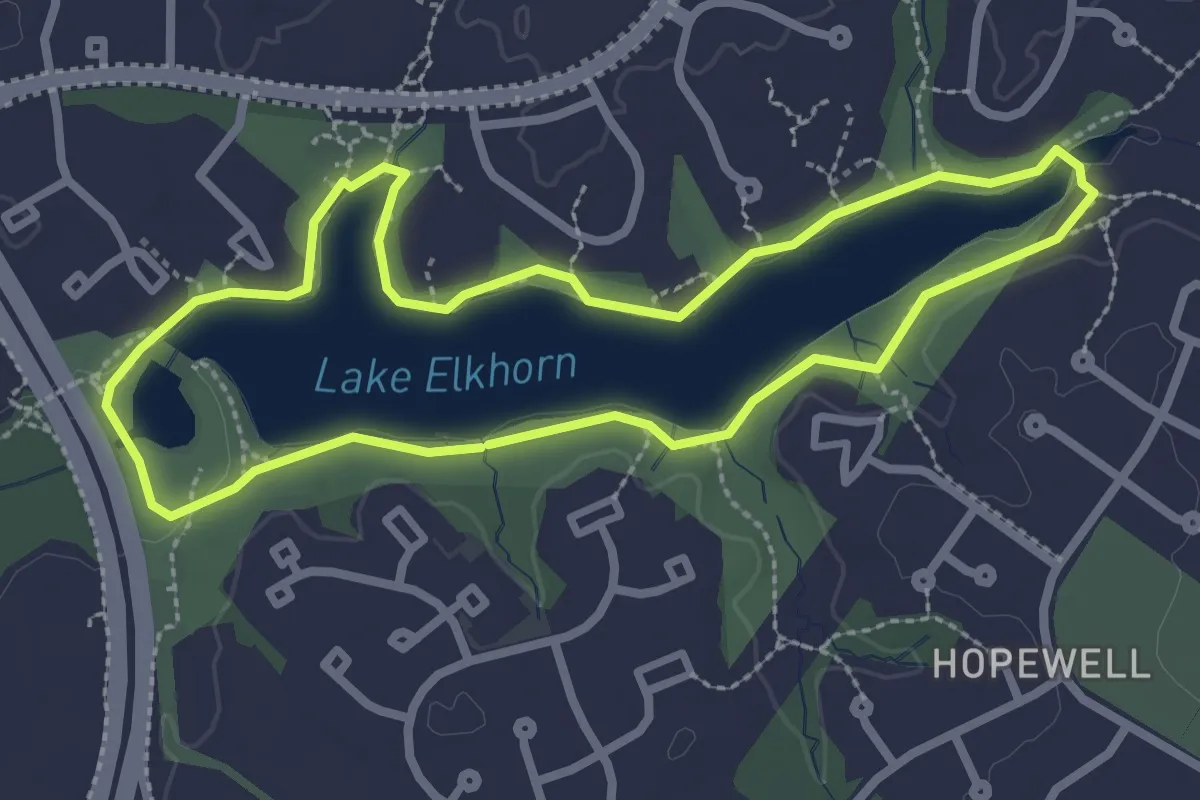
Easy · Trail
Lake Elkhorn Loop
2.9 km · ↑ 8 m · 45 min · 14 km away
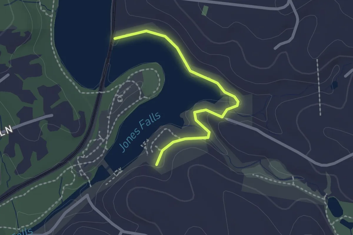
Easy · Trail
Pink Trail
2.2 km · ↑ 29 m · 35 min · 14 km away
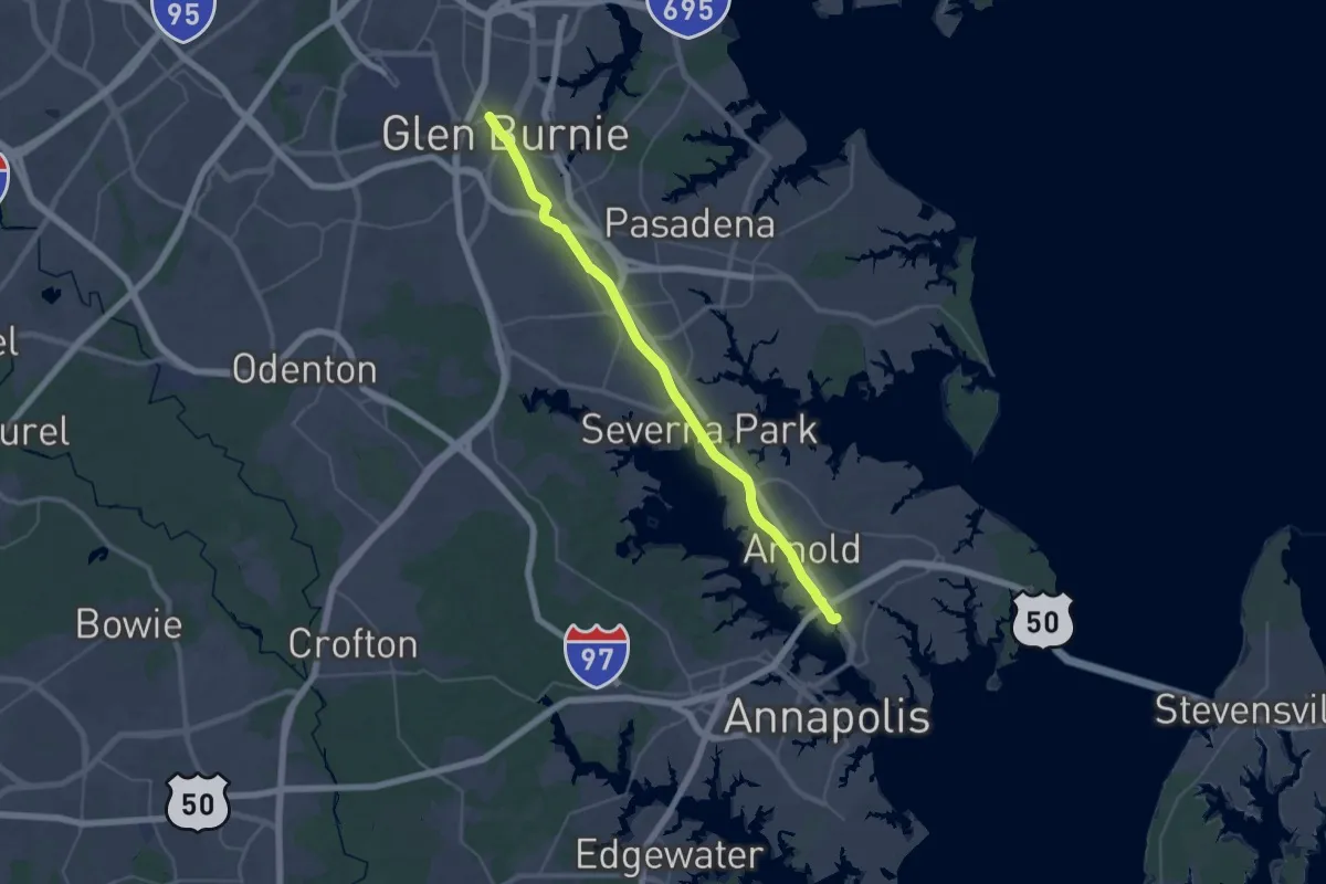
Demanding · Trail
Baltimore & Annapolis Trail
22.4 km · ↑ 141 m · 5 h 54 min · 14 km away
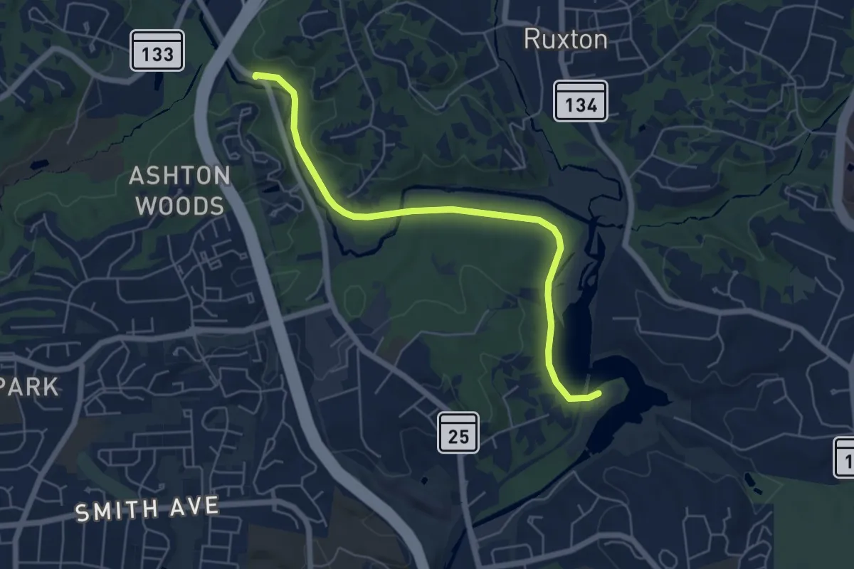
Easy · Trail
Red Trail
6.3 km · ↑ 39 m · 1 h 34 min · 14 km away
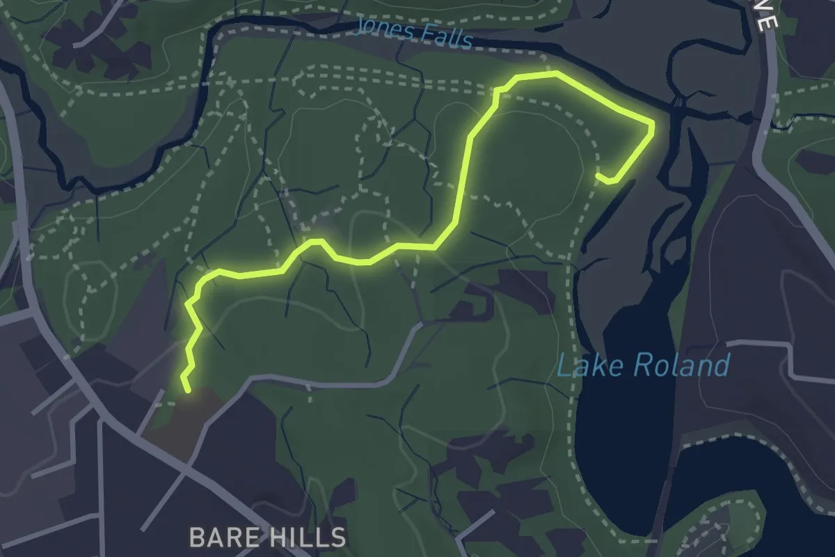
Easy · Trail
Yellow Trail
3.5 km · ↑ 83 m · 1 h · 15 km away