Trails near Cheshire
44 hikes starting within 15 km, nearest first.
Nearest first
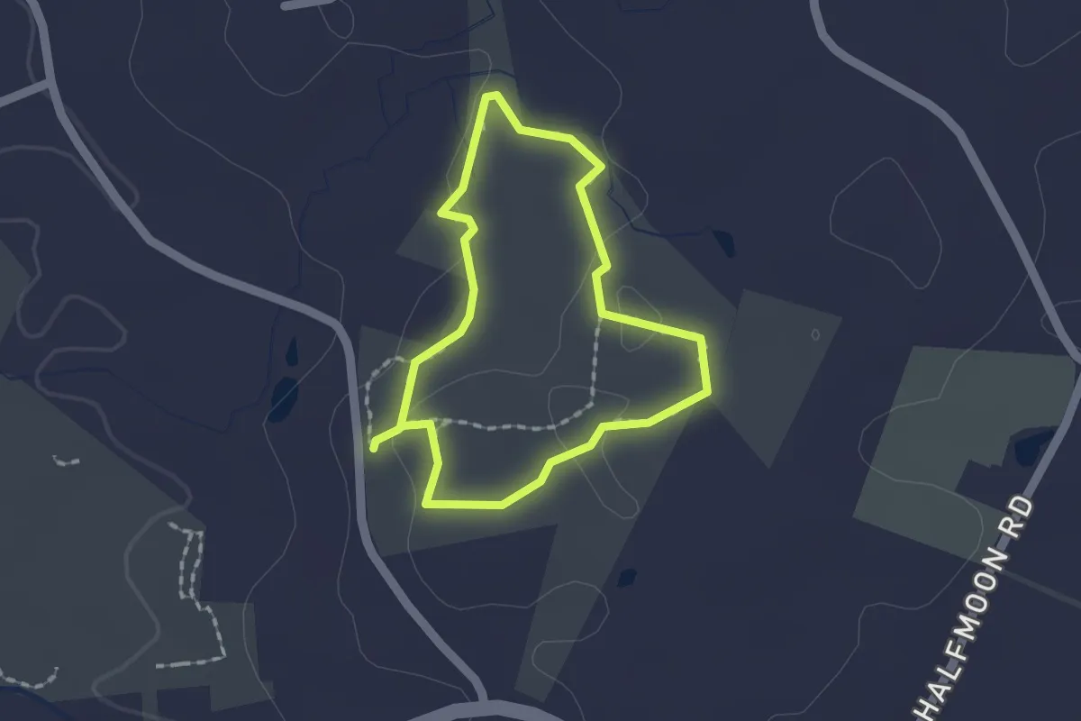
Easy · Trail
Brooke Blue Trail
1.5 km · ↑ 26 m · 26 min · 3 km away
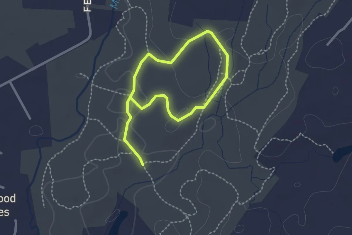
Easy · Trail
Yellow Trail
3.2 km · ↑ 69 m · 54 min · 5 km away
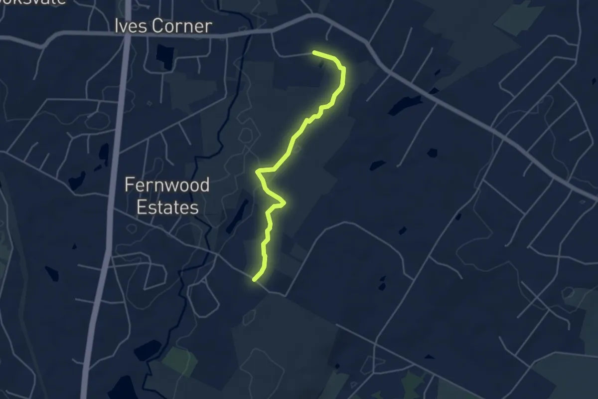
Easy · Trail
Red Trail
4.4 km · ↑ 88 m · 1 h 14 min · 5 km away
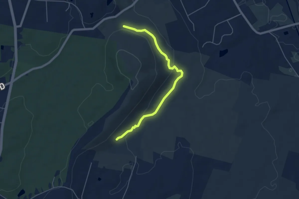
Easy · Trail
Quinnipiac Connector Trail
5.0 km · ↑ 143 m · 1 h 30 min · 5 km away
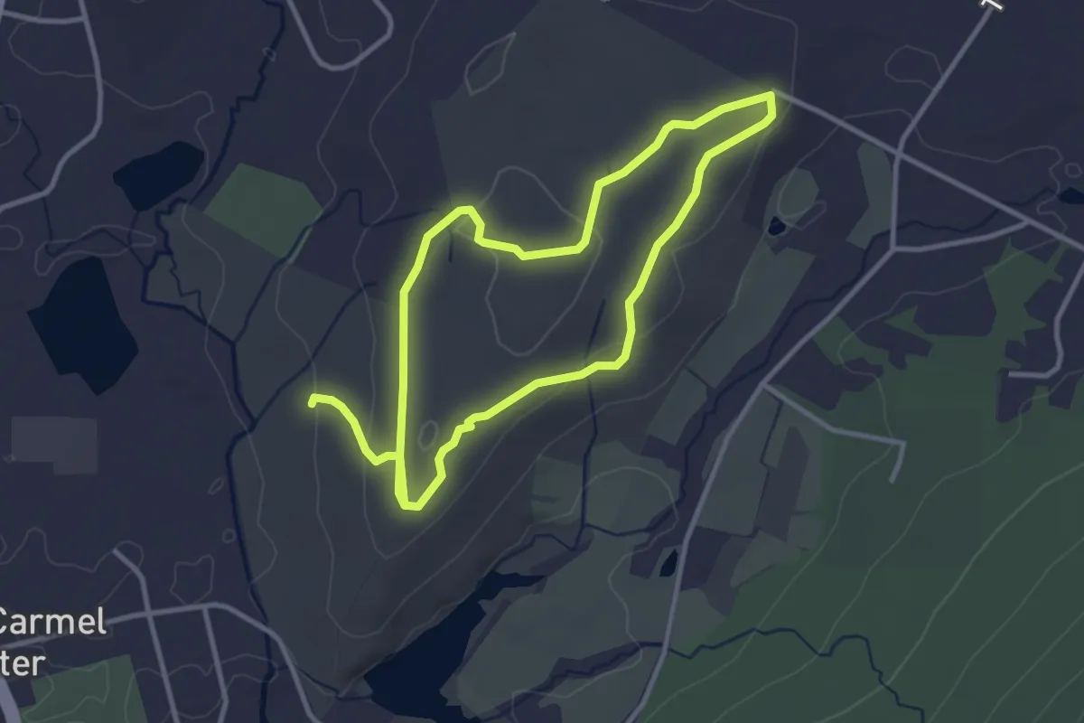
Easy · Trail
Horse Trail
6.4 km · ↑ 117 m · 1 h 47 min · 6 km away
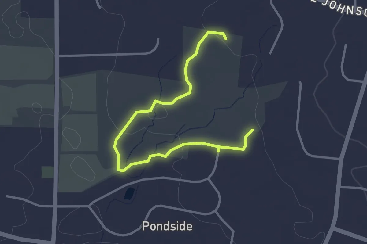
Easy · Trail
Ives Blue Trail
3.6 km · ↑ 54 m · 58 min · 6 km away
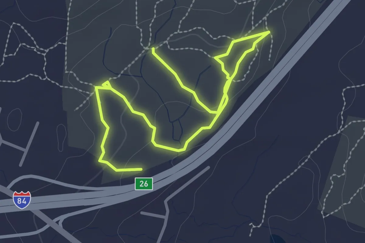
Easy · Trail
Black Trail
4.4 km · ↑ 154 m · 1 h 22 min · 6 km away
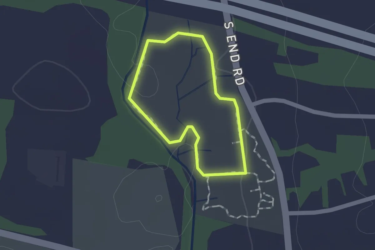
Easy · Trail
Riverbound Orange Trail
1.0 km · ↑ 11 m · 17 min · 6 km away
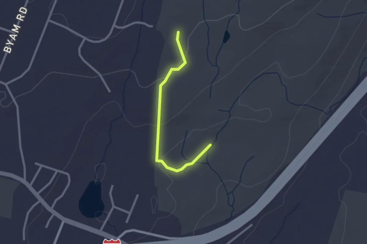
Easy · Trail
Yellow Trail
2.1 km · ↑ 54 m · 37 min · 6 km away
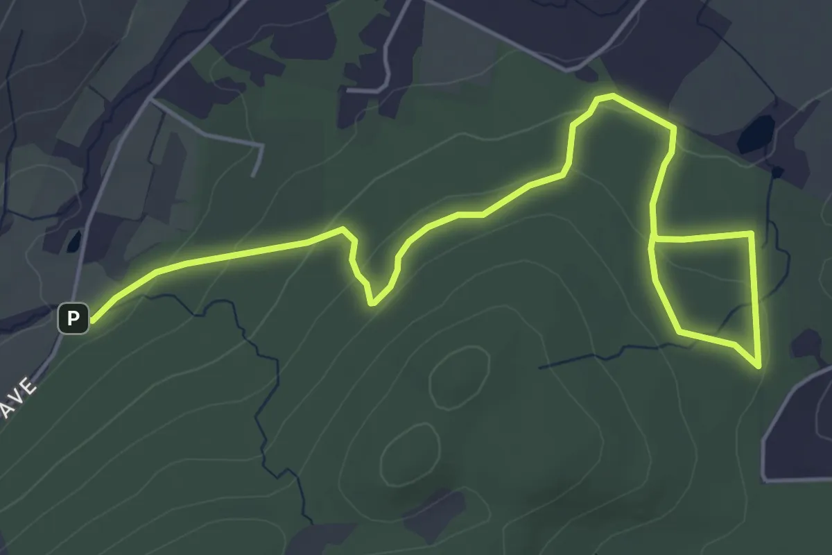
Easy · Trail
Ski Trail
7.0 km · ↑ 151 m · 1 h 58 min · 7 km away
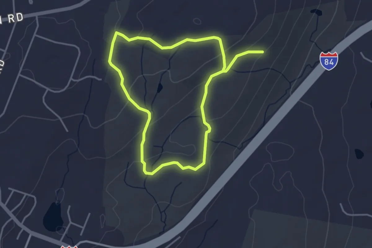
Easy · Trail
Red Trail
6.8 km · ↑ 209 m · 2 h 3 min · 7 km away
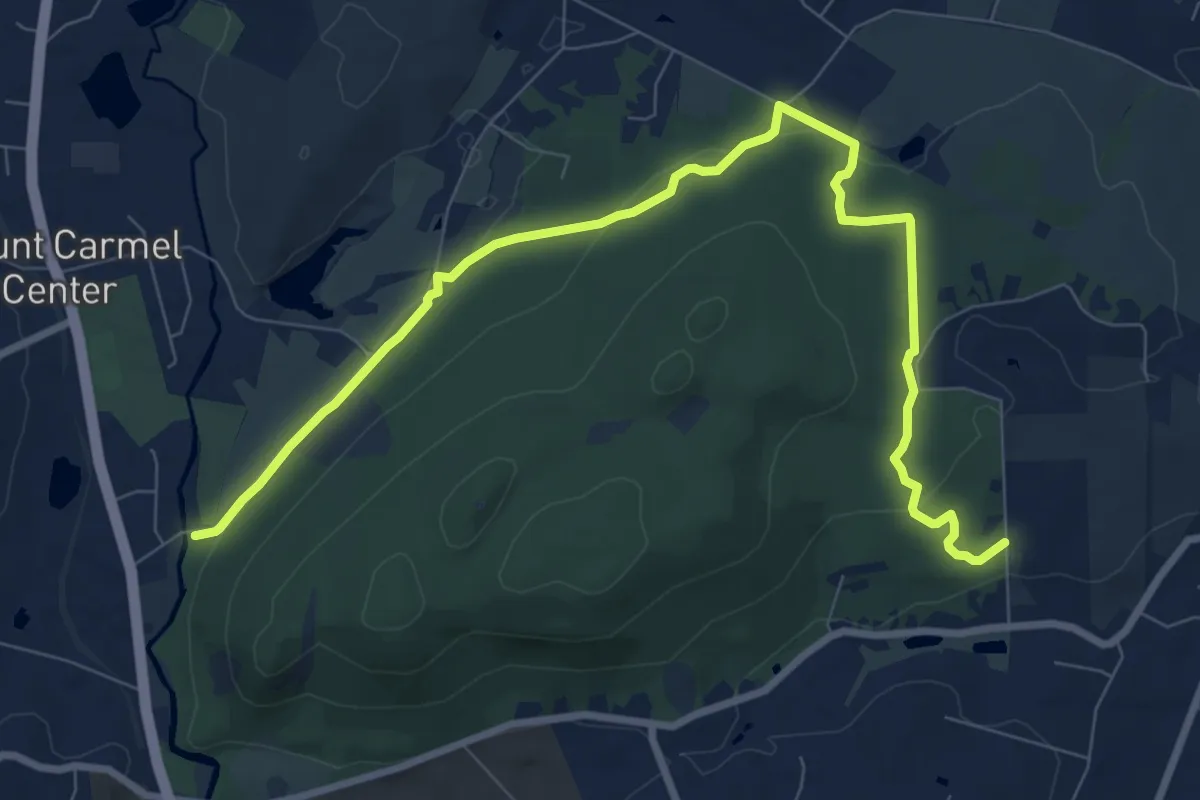
Medium · Trail
Horse Trail
11.2 km · ↑ 213 m · 3 h 6 min · 8 km away
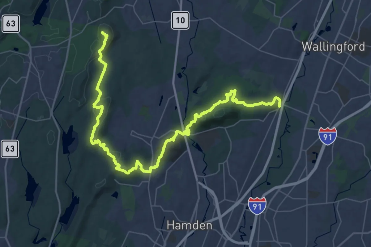
Expert · Summit
Quinnipiac Trail
44.5 km · ↑ 1742 m · 14 h 16 min · 8 km away
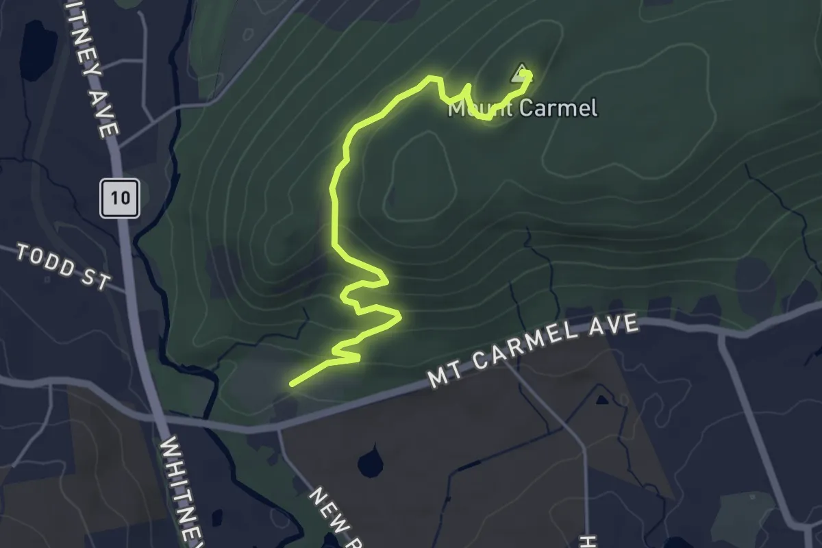
Easy · Summit
Tower Trail
4.9 km · ↑ 186 m · 1 h 33 min · 9 km away
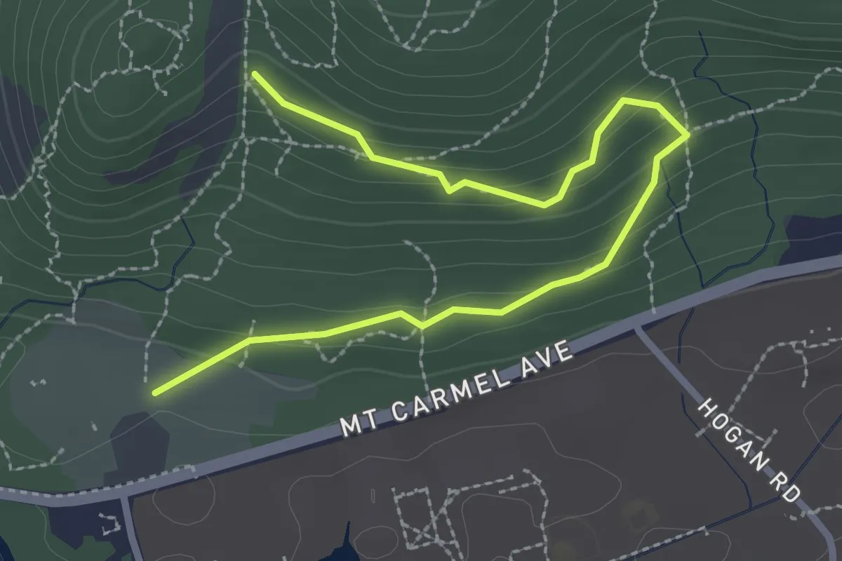
Easy · Trail
Nature Trail
1.7 km · ↑ 105 m · 36 min · 9 km away
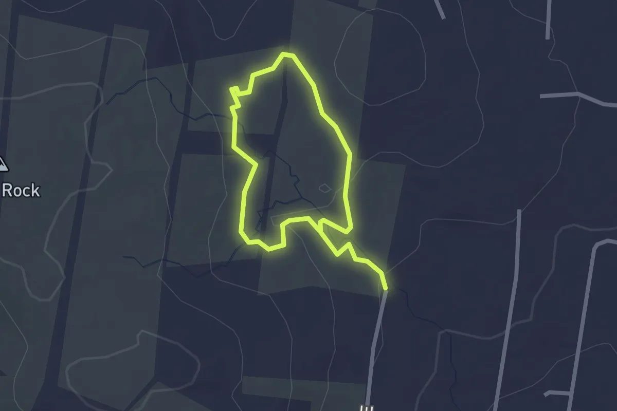
Easy · Trail
Red Trail
3.7 km · ↑ 52 m · 59 min · 10 km away
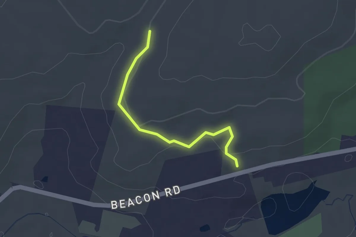
Easy · Trail
Whittemore Trail
2.3 km · ↑ 46 m · 39 min · 11 km away
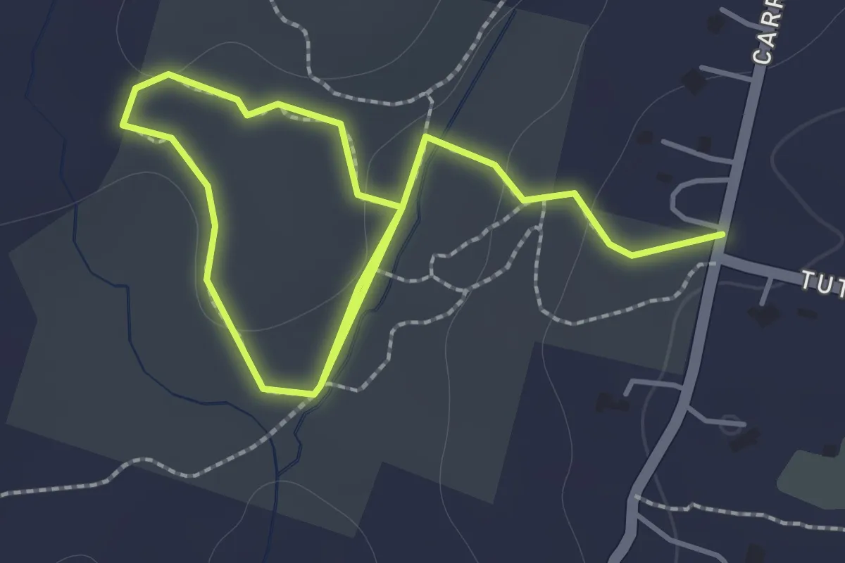
Easy · Trail
Hein Hiking Trail
2.5 km · ↑ 58 m · 43 min · 11 km away
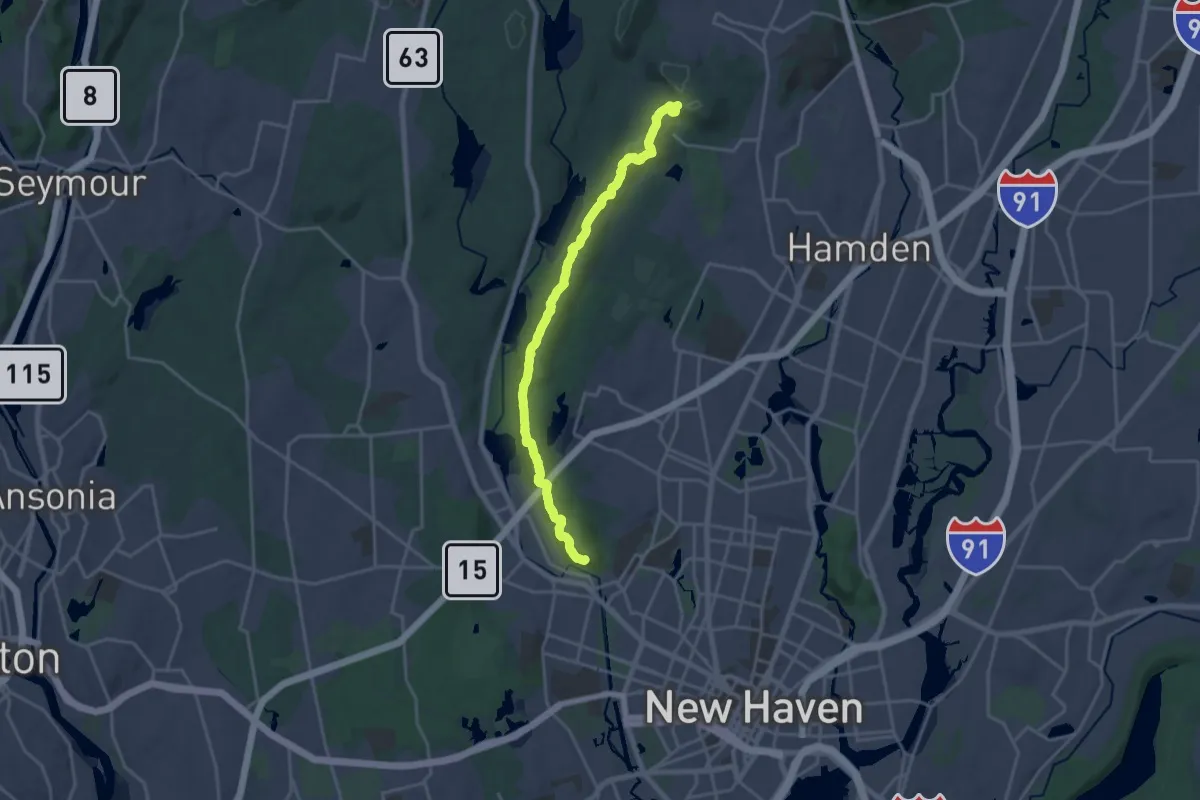
Demanding · Trail
Regicides Trail
21.6 km · ↑ 496 m · 6 h 10 min · 11 km away
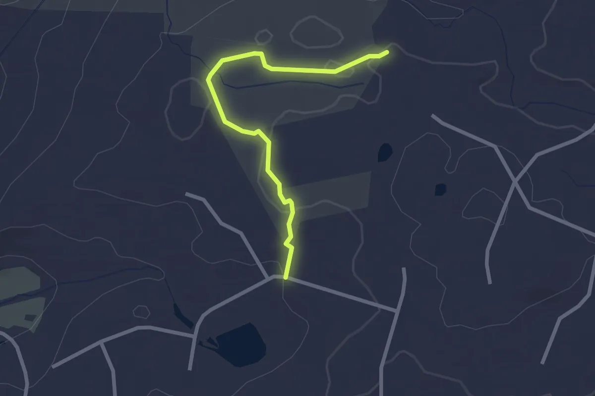
Easy · Trail
Woodward Trail
2.6 km · ↑ 59 m · 44 min · 11 km away
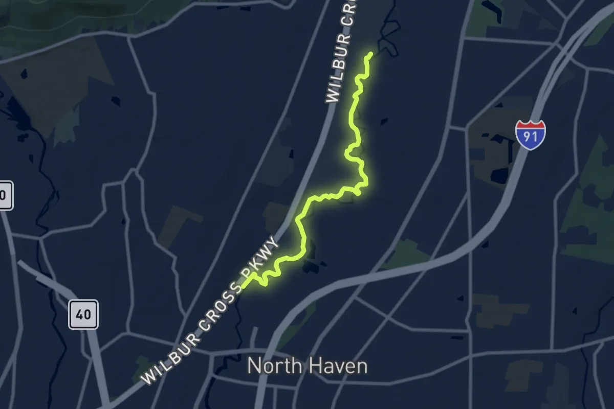
Medium · Trail
Banton Quinnipiac Trail
8.8 km · ↑ 9 m · 2 h 6 min · 11 km away
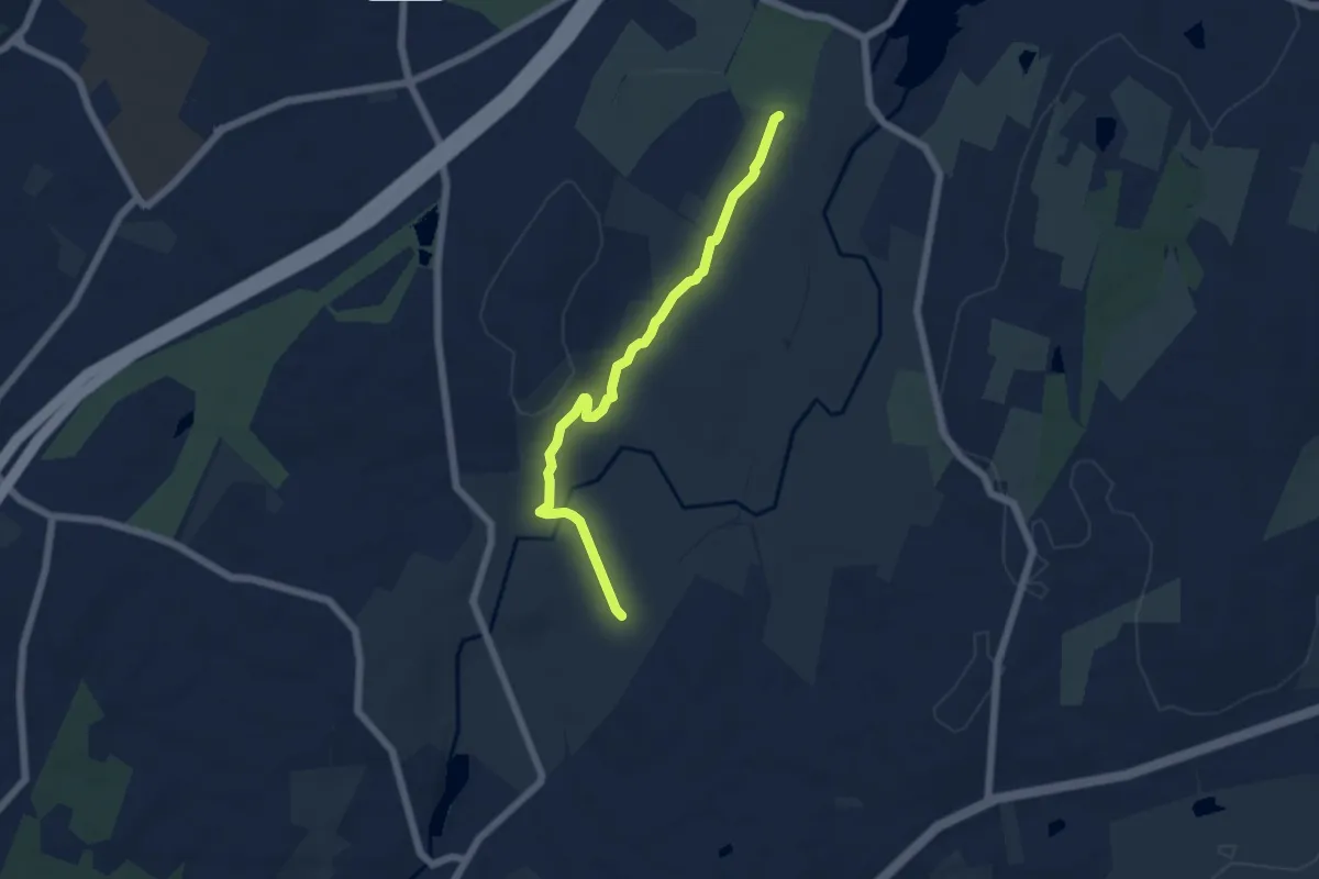
Easy · Trail
Red
5.9 km · ↑ 162 m · 1 h 45 min · 12 km away
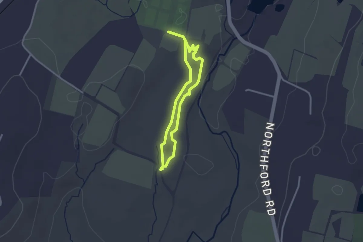
Easy · Trail
Orange
2.1 km · ↑ 45 m · 38 min · 12 km away
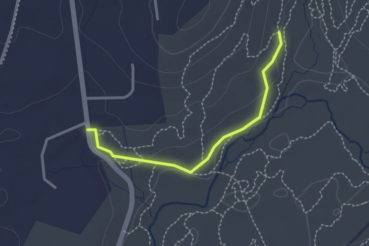
Easy · Trail
Yellow
2.2 km · ↑ 43 m · 37 min · 12 km away
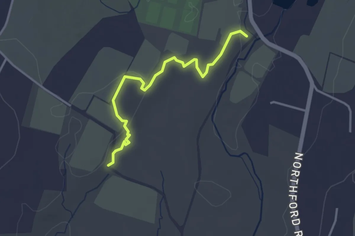
Easy · Trail
Blue-Red
3.2 km · ↑ 89 m · 57 min · 12 km away
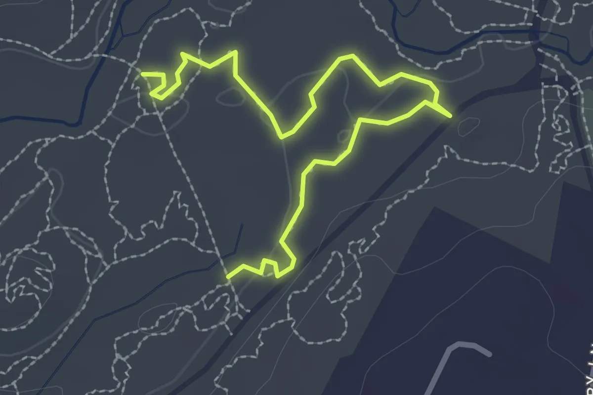
Easy · Trail
Green
3.2 km · ↑ 20 m · 48 min · 12 km away
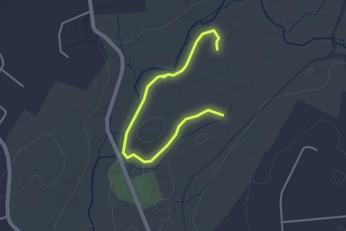
Easy · Trail
Blue
3.2 km · ↑ 20 m · 49 min · 12 km away
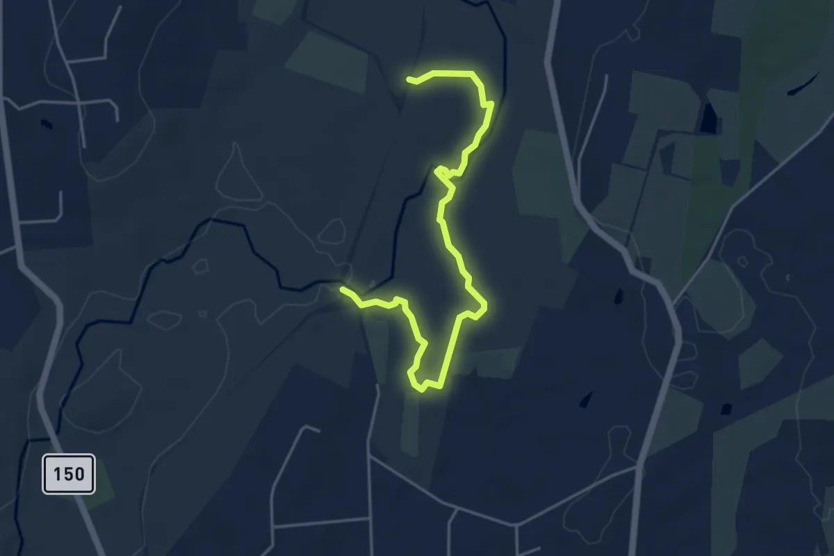
Easy · Trail
Pink
5.1 km · ↑ 127 m · 1 h 29 min · 13 km away
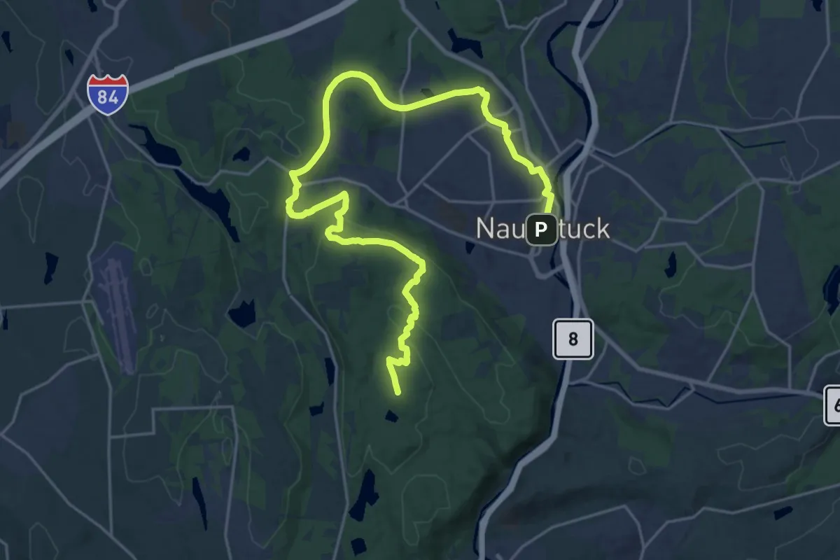
Demanding · Summit
Mission 22 Trail
28.8 km · ↑ 518 m · 7 h 55 min · 13 km away
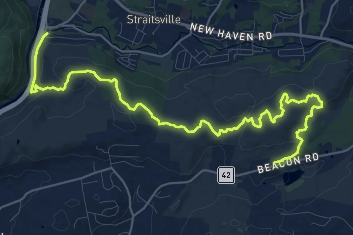
Medium · Trail
Naugatuck Trail
16.7 km · ↑ 427 m · 4 h 52 min · 13 km away
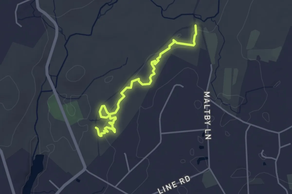
Easy · Trail
Purple
4.4 km · ↑ 79 m · 1 h 13 min · 13 km away
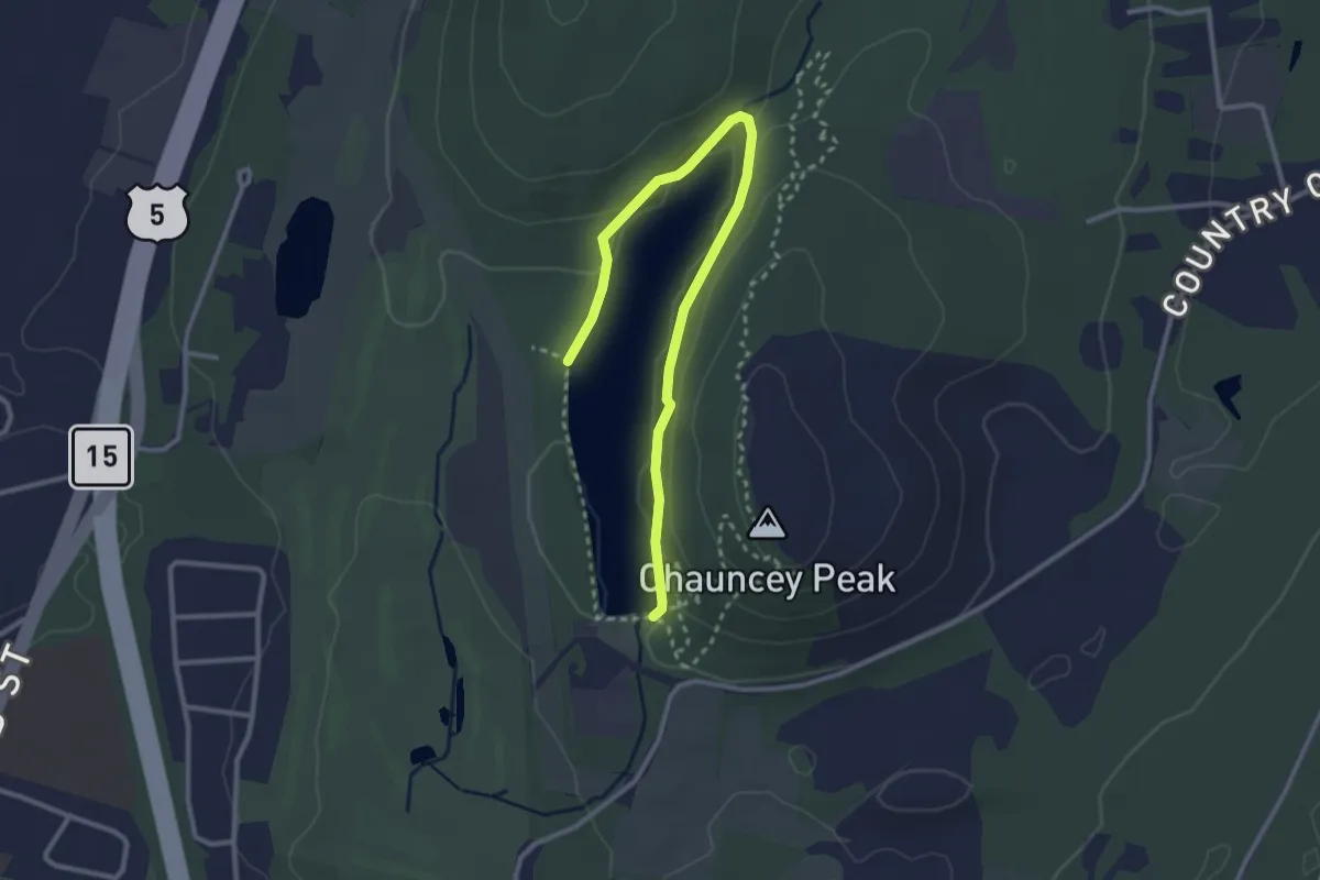
Easy · Trail
White Trail
3.5 km · ↑ 19 m · 52 min · 13 km away
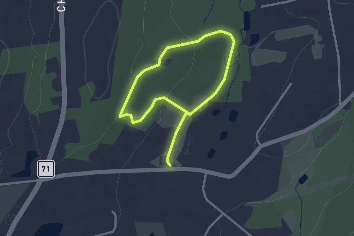
Easy · Trail
Red Trail
3.7 km · ↑ 78 m · 1 h 3 min · 14 km away
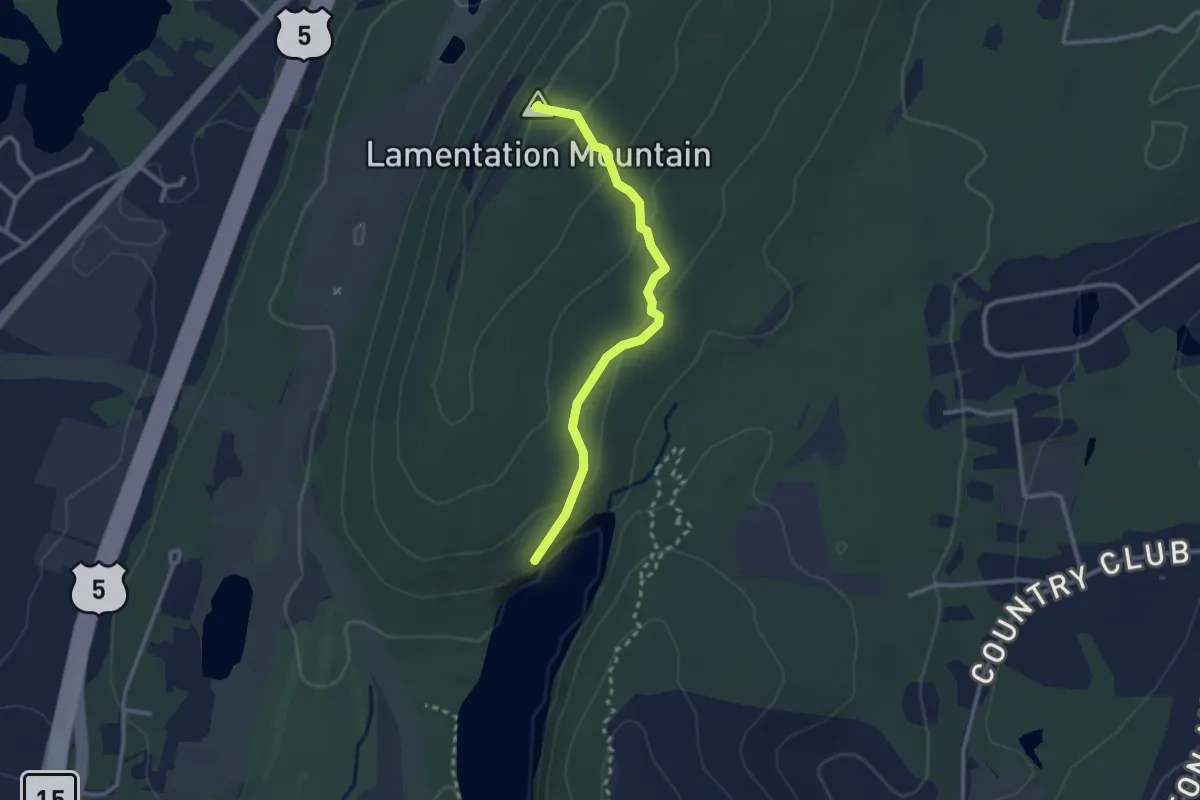
Easy · Summit
Yellow Trail
2.8 km · ↑ 120 m · 55 min · 14 km away
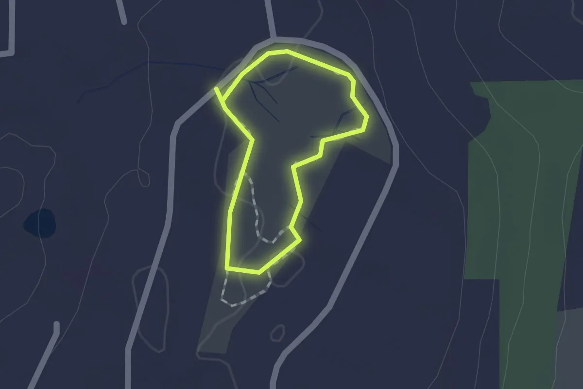
Easy · Trail
Orange Trail
1.0 km · ↑ 0 m · 15 min · 14 km away
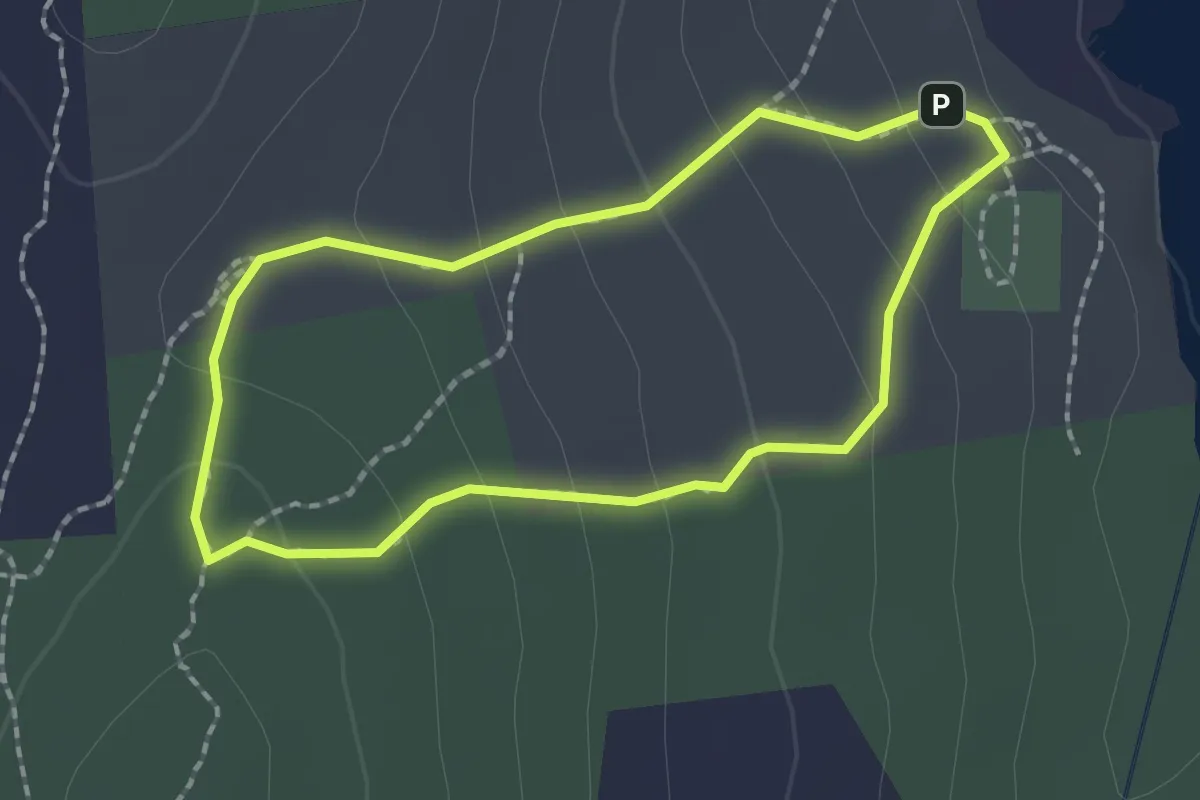
Easy · Trail
Yellow Trail
1.9 km · ↑ 108 m · 42 min · 14 km away
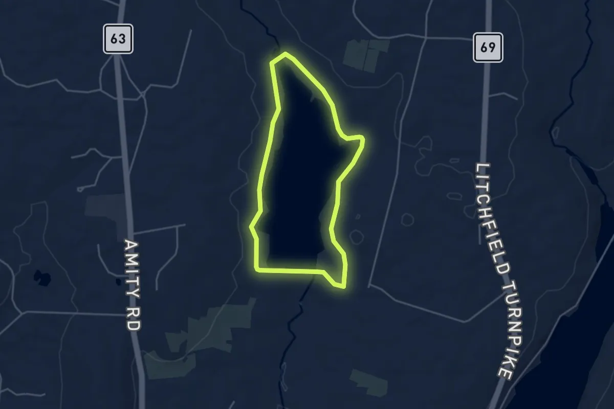
Easy · Trail
Eric L. Stone Trail
3.8 km · ↑ 32 m · 1 h 1 min · 14 km away
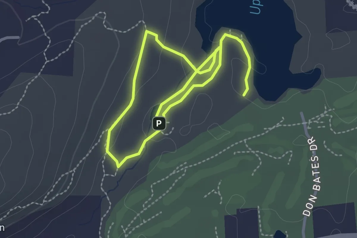
Easy · Trail
Green Trail
4.4 km · ↑ 73 m · 1 h 12 min · 14 km away
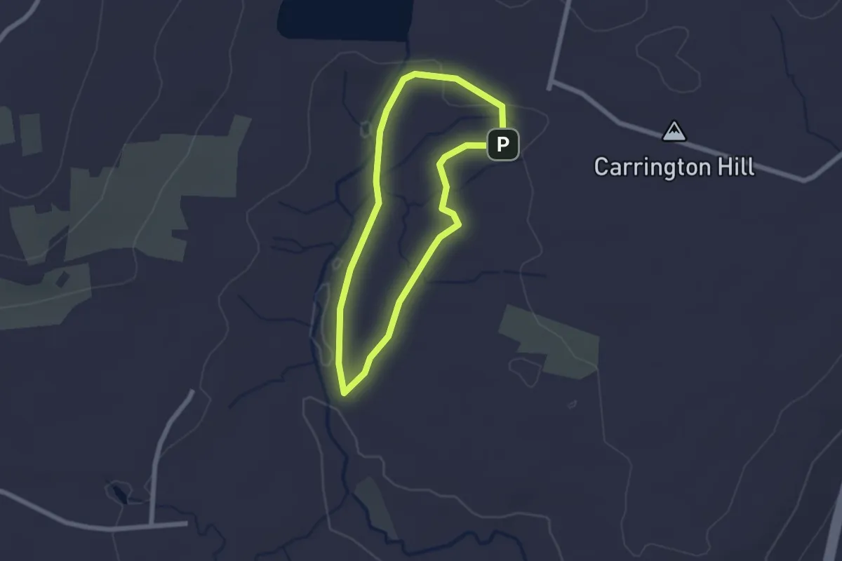
Easy · Trail
Sargent River Trail
1.9 km · ↑ 17 m · 31 min · 14 km away
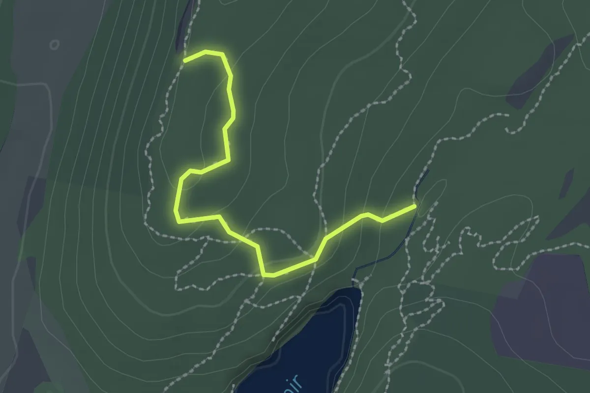
Easy · Trail
Red Trail
2.3 km · ↑ 111 m · 48 min · 14 km away
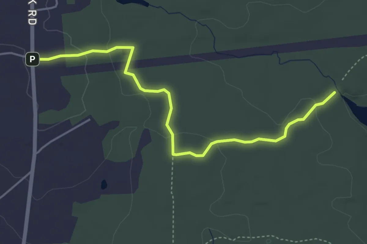
Easy · Trail
Woodtick Trail
4.8 km · ↑ 104 m · 1 h 22 min · 14 km away
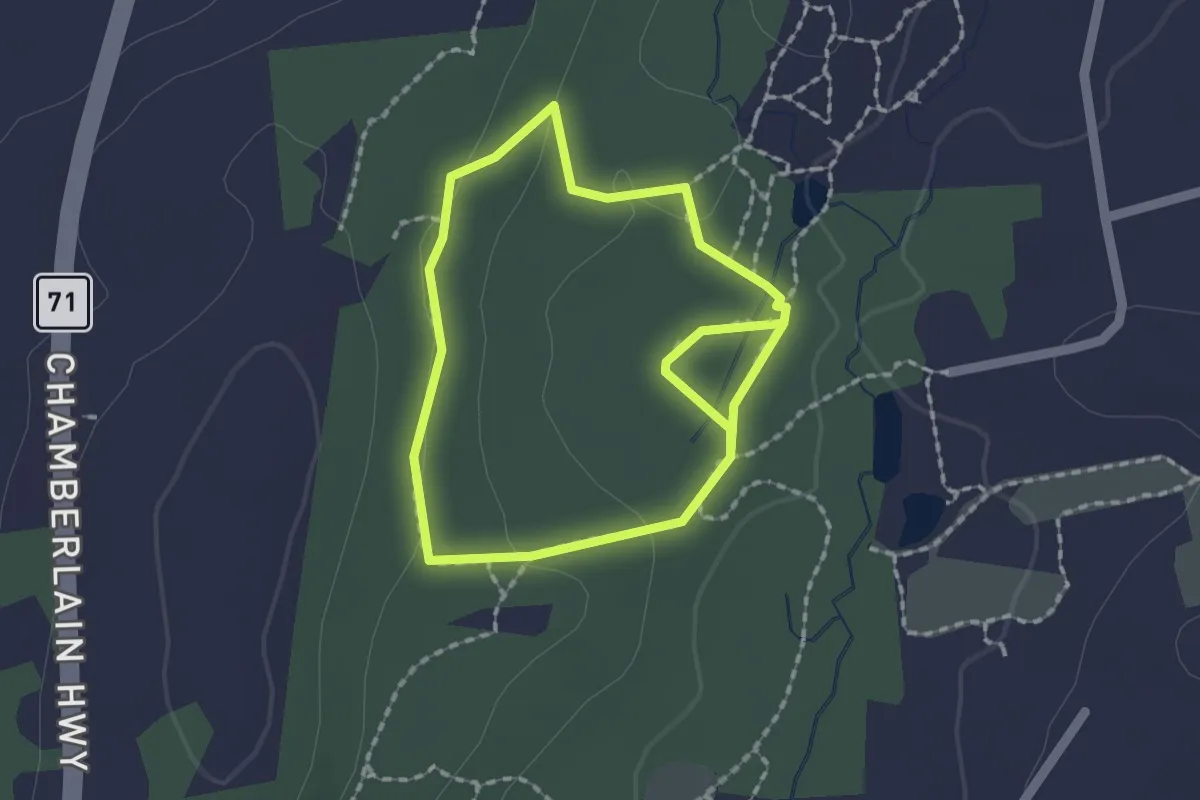
Easy · Trail
Yellow Trail
1.7 km · ↑ 29 m · 29 min · 14 km away
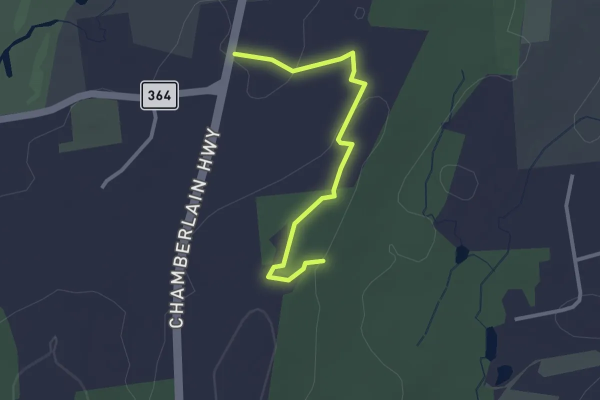
Easy · Trail
Black Trail
2.6 km · ↑ 48 m · 43 min · 14 km away
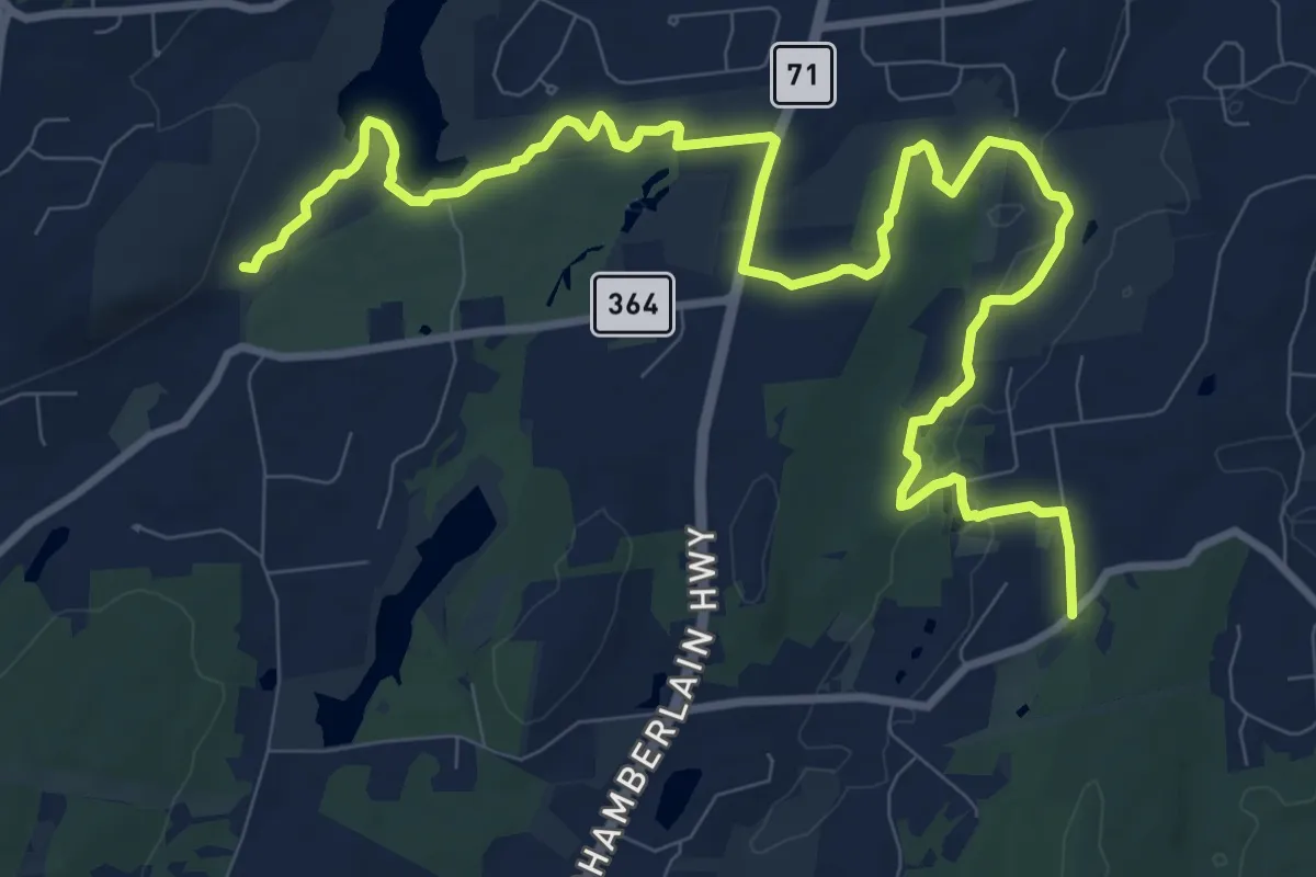
Medium · Trail
Metacomet Loop Trail
14.8 km · ↑ 184 m · 3 h 54 min · 14 km away