Trails near Clifton Park
17 hikes starting within 15 km, nearest first.
Nearest first
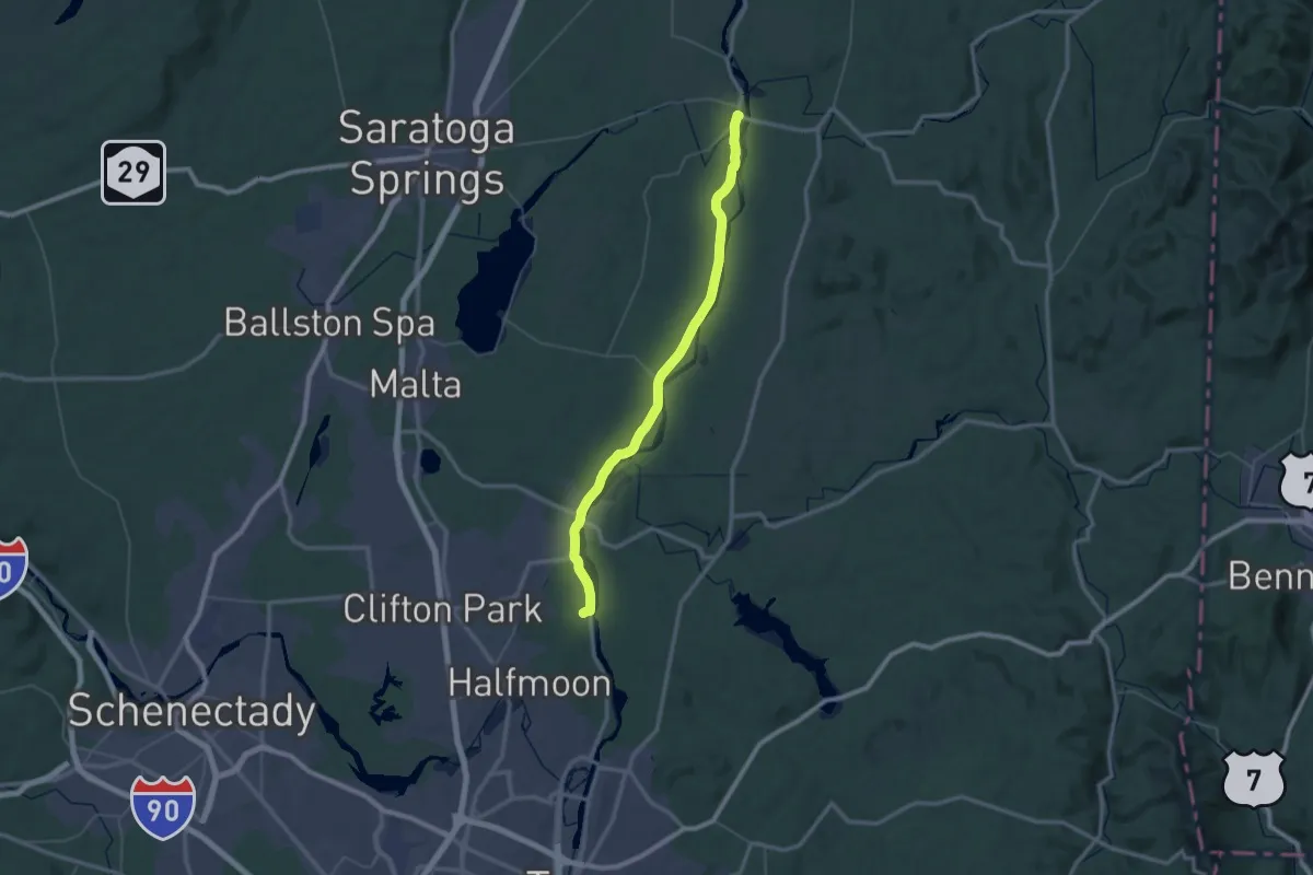
Demanding · Trail
Champlain Valley Trail (Halfmoon to Schuylerville)
30.2 km · ↑ 75 m · 7 h 42 min · 8 km away
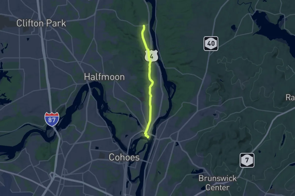
Medium · Trail
Champlain Valley Trail (Peebles Island State Park to Halfmoon)
17.7 km · ↑ 33 m · 4 h 15 min · 8 km away
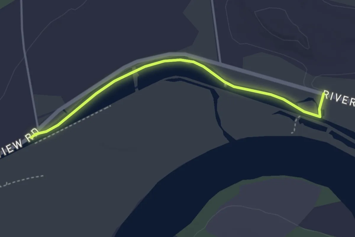
Easy · Trail
1825 Erie Canal Towpath
3.8 km · ↑ 0 m · 54 min · 8 km away
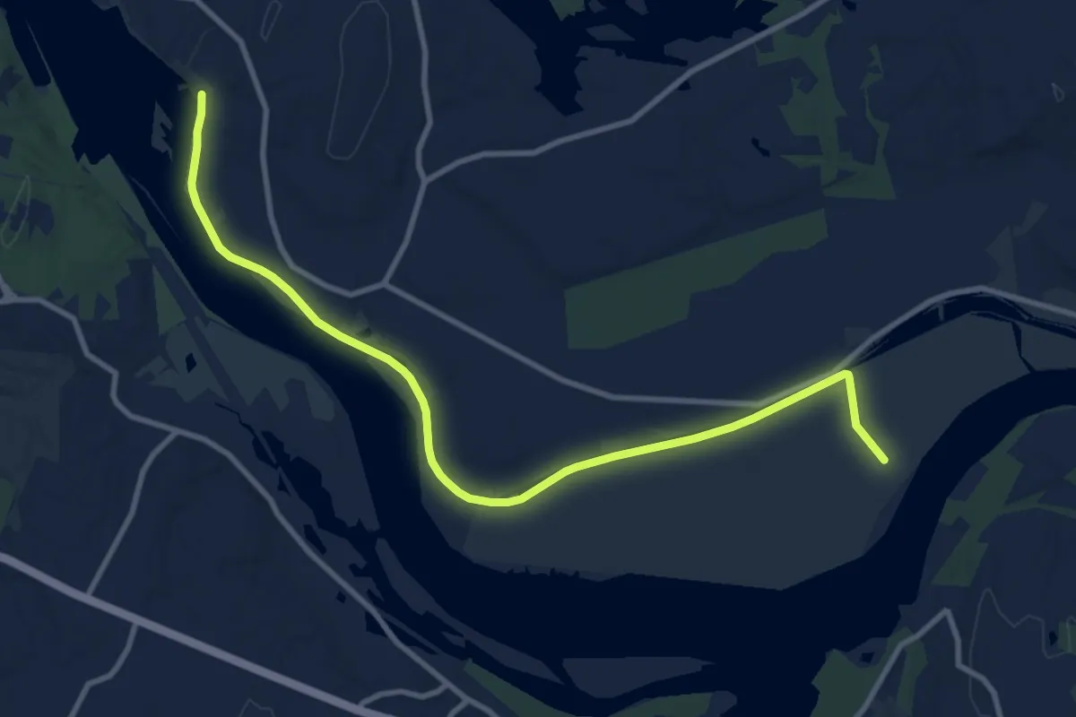
Medium · Trail
Erie Canal Towpath Community Connector Trail
12.0 km · ↑ 16 m · 2 h 52 min · 8 km away
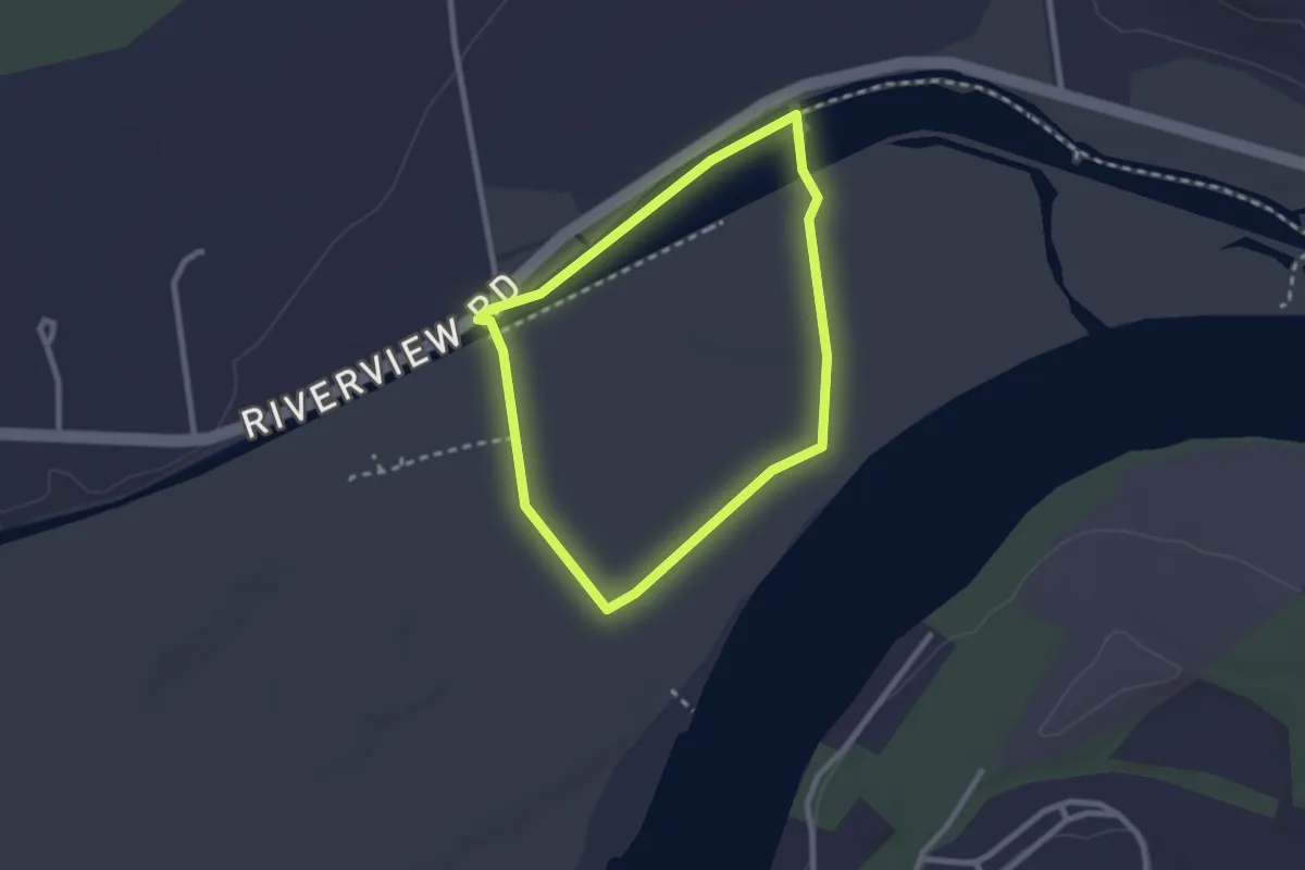
Easy · Trail
Bird Watching Loop
2.4 km · ↑ 0 m · 35 min · 8 km away
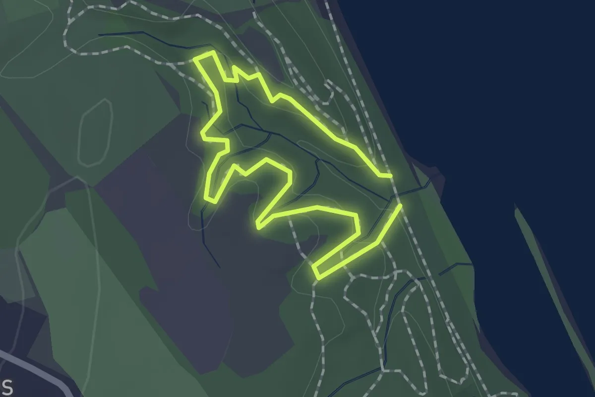
Easy · Trail
Shaker Gorge Scenic Loop
1.3 km · ↑ 41 m · 26 min · 9 km away
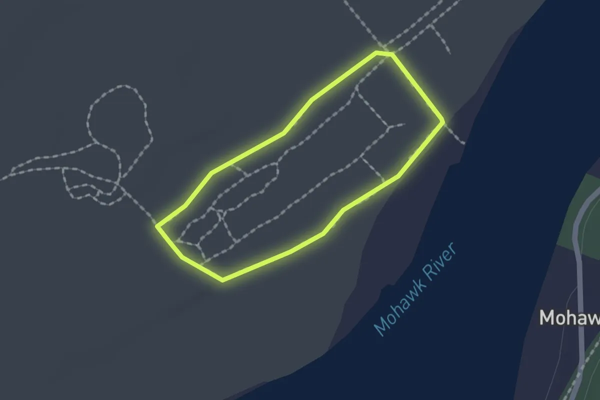
Easy · Trail
Forts Ferry Loop
1.4 km · ↑ 0 m · 21 min · 9 km away
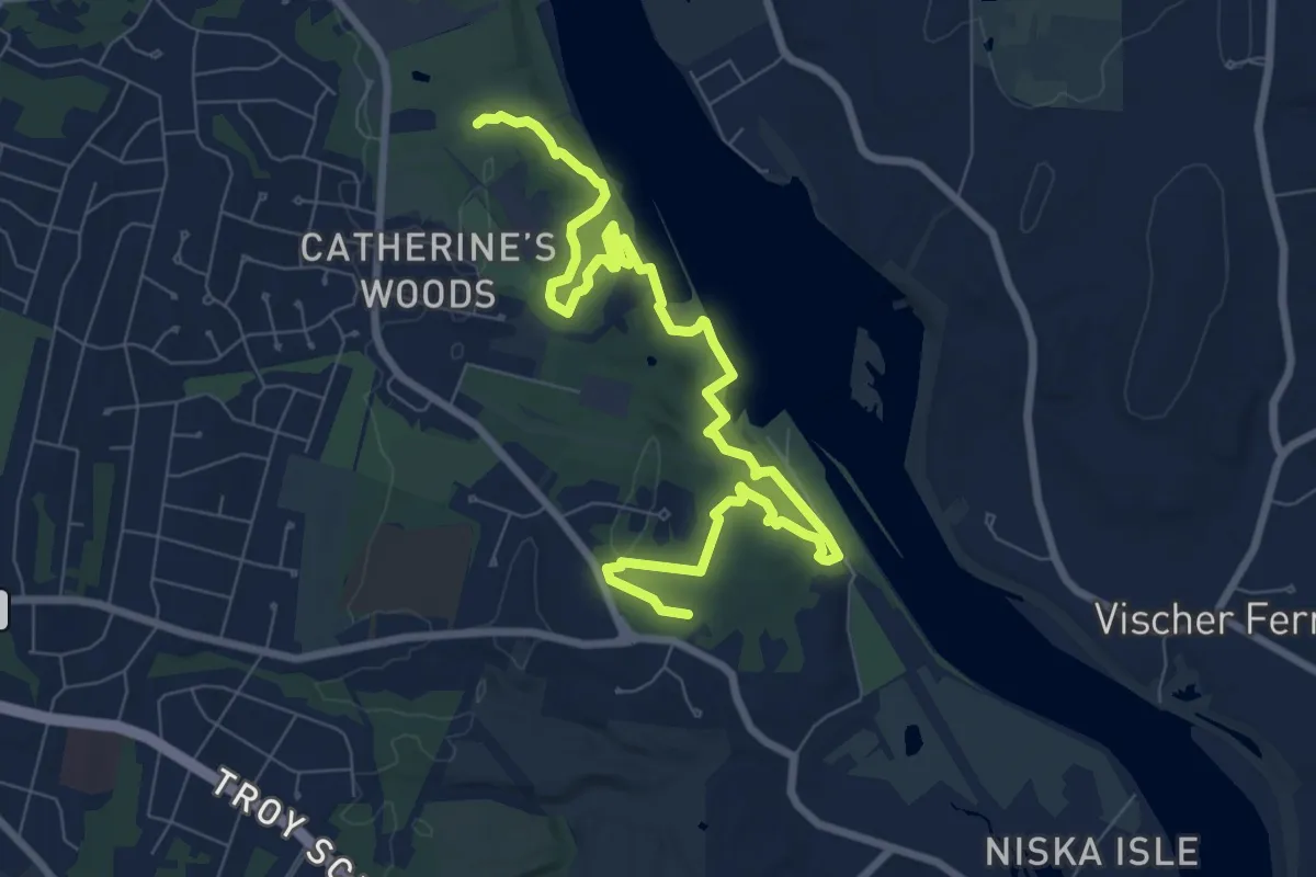
Medium · Trail
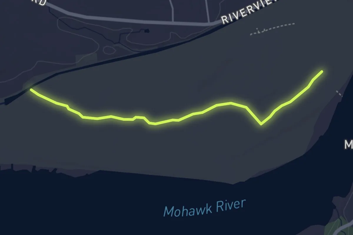
Orange Loop - Southbound
10.9 km · ↑ 190 m · 2 h 59 min · 9 km away
Easy · Trail
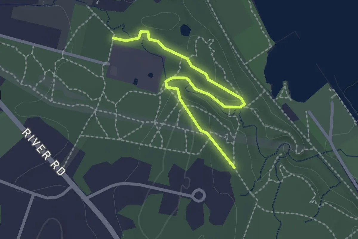
Tall Spruce Trail
4.4 km · ↑ 0 m · 1 h 3 min · 9 km away
Easy · Trail
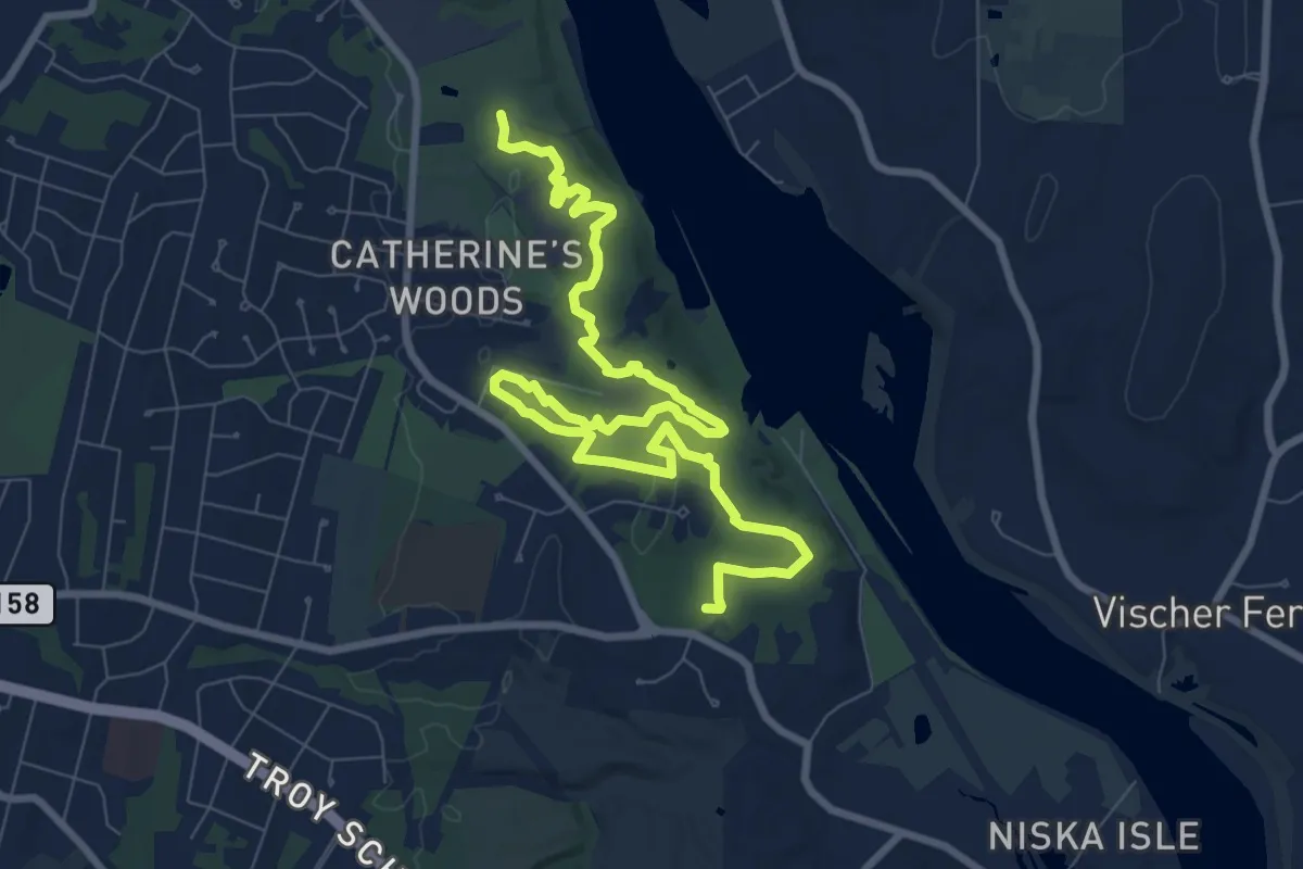
Bedspring Ridge Trail
2.5 km · ↑ 61 m · 44 min · 9 km away
Medium · Trail
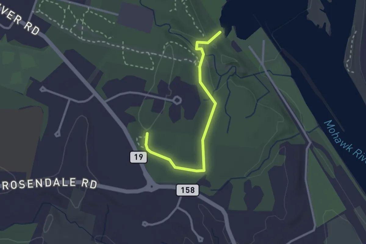
Orange Loop - Northbound
12.1 km · ↑ 186 m · 3 h 16 min · 10 km away
Easy · Trail
Blue Trail
2.6 km · ↑ 29 m · 40 min · 10 km away
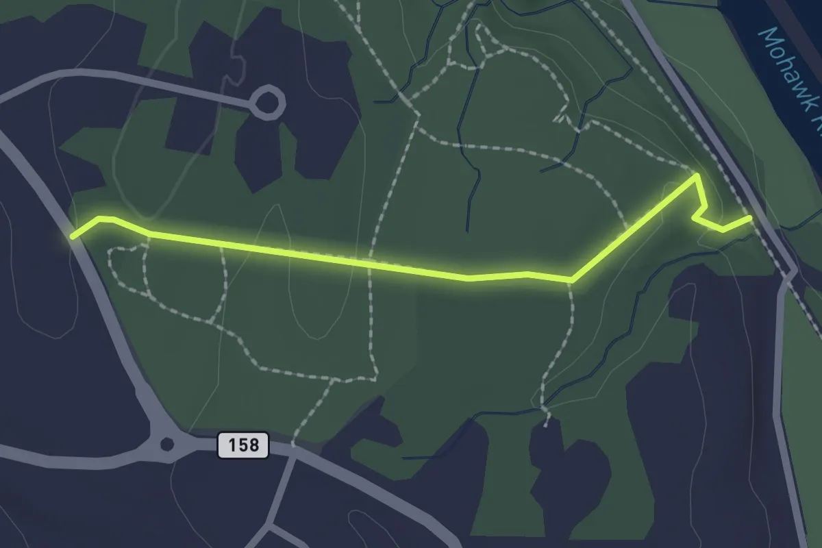
Easy · Trail
Power line trail
2.1 km · ↑ 55 m · 36 min · 10 km away
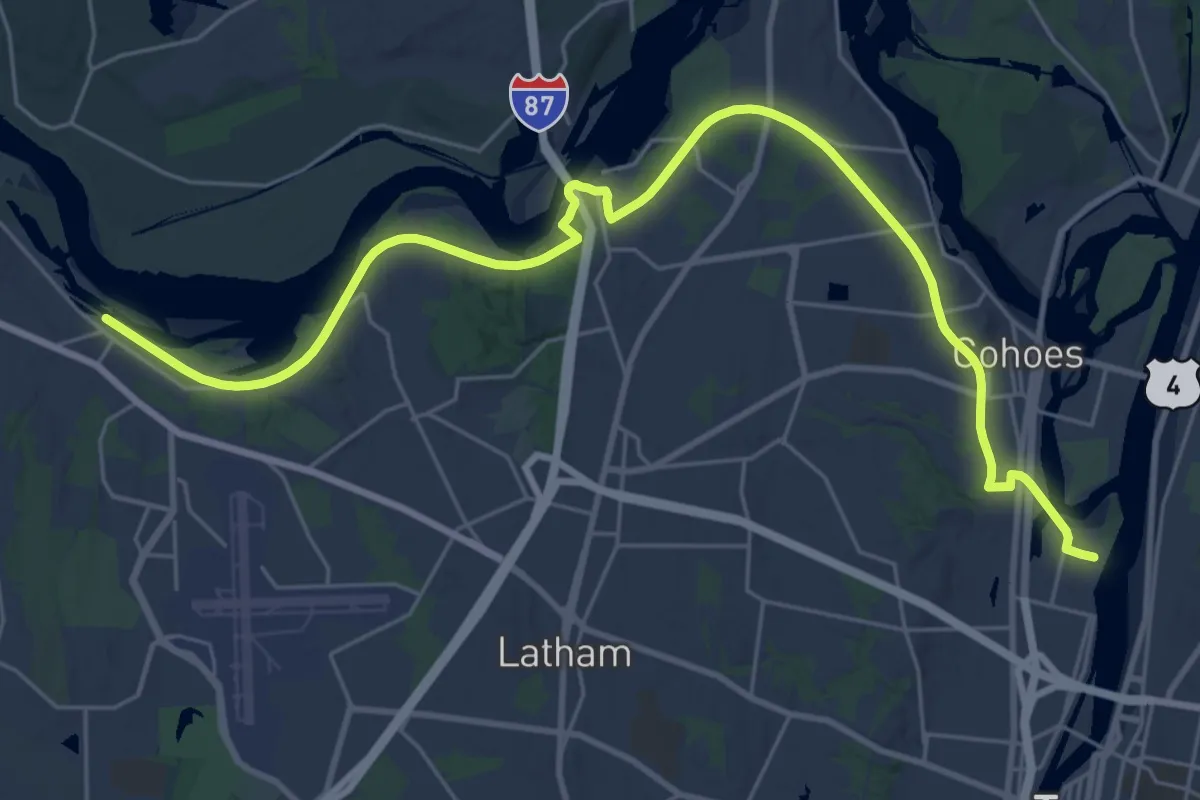
Medium · Trail
Erie Canalway Trail (Niskayuna to Green Island)
17.0 km · ↑ 82 m · 4 h 26 min · 10 km away
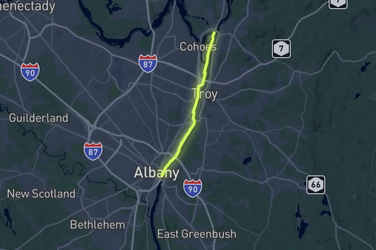
Medium · Trail
Champlain Valley Trail (Albany to Waterford)
17.5 km · ↑ 31 m · 4 h 26 min · 11 km away
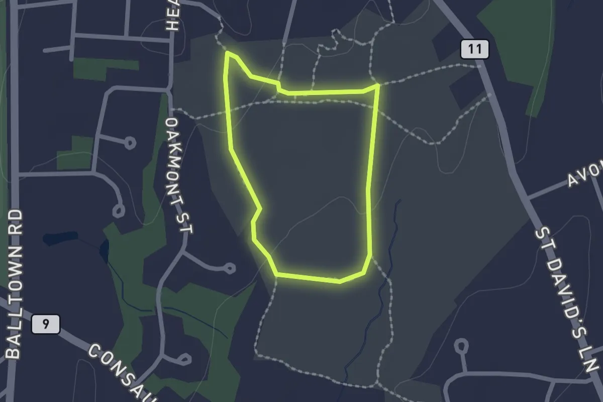
Easy · Trail
Paul Schaefer Yellow Trail
1.6 km · ↑ 13 m · 25 min · 13 km away
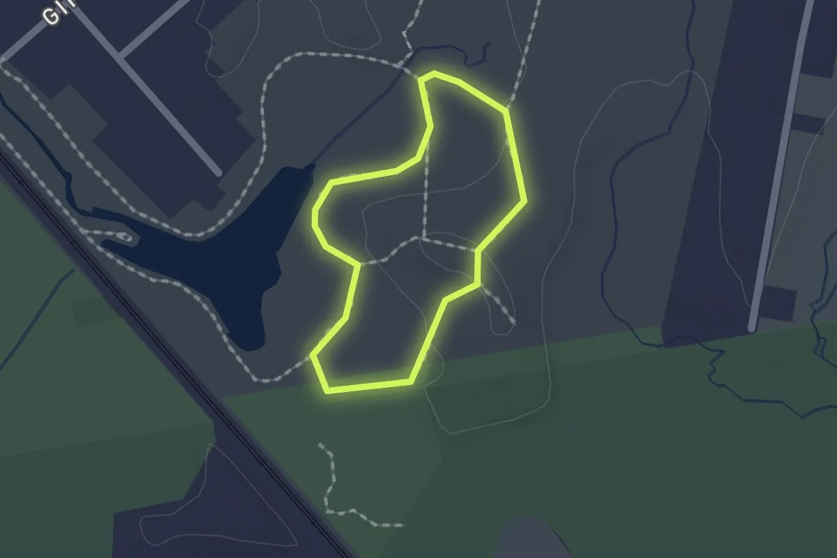
Easy · Trail
Red Loop Trail
1.2 km · ↑ 13 m · 20 min · 15 km away