Trails near Daly City
17 hikes starting within 15 km, nearest first.
Nearest first
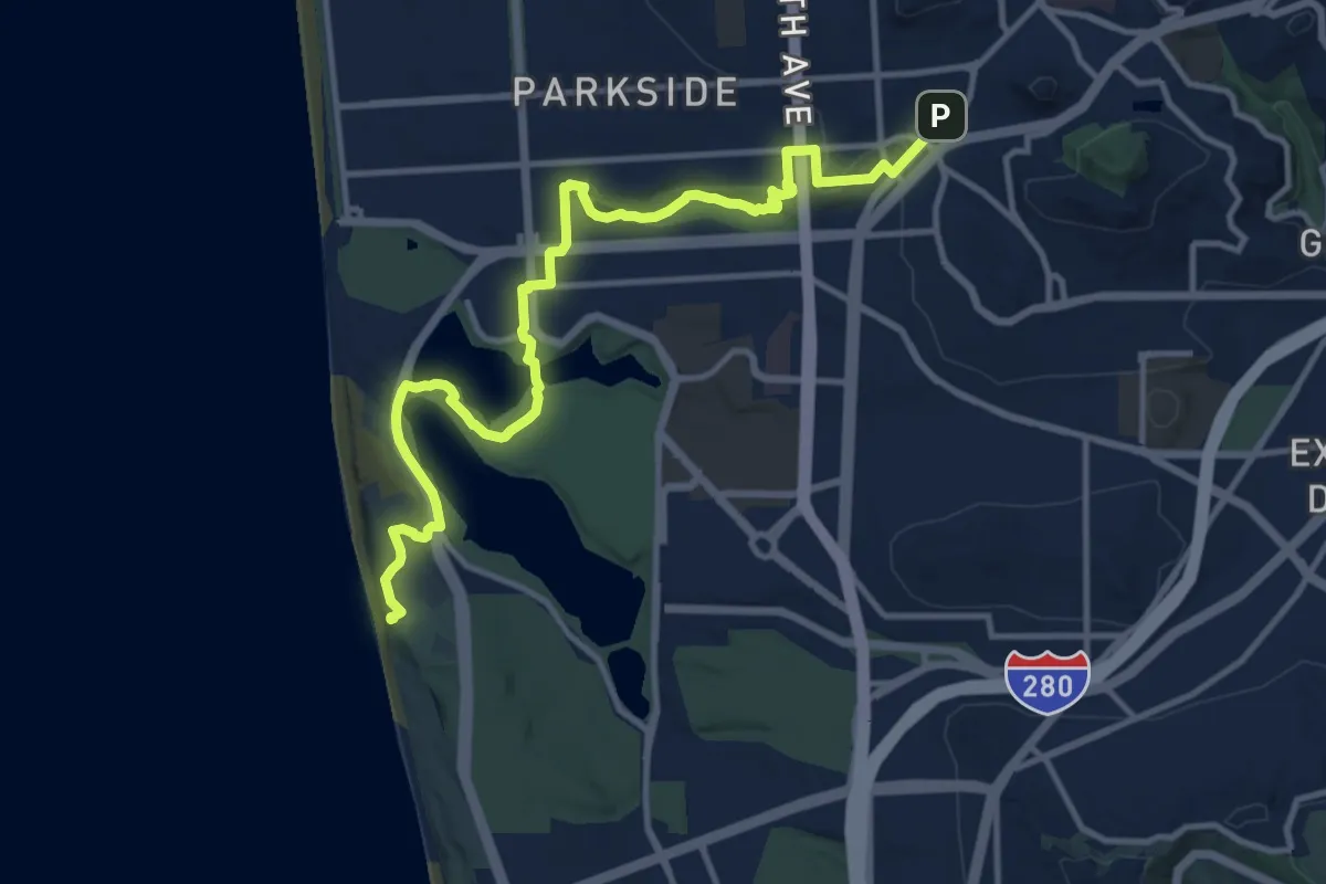
Medium · Trail
Double Cross Trail - Section 1
16.0 km · ↑ 286 m · 4 h 23 min · 6 km away
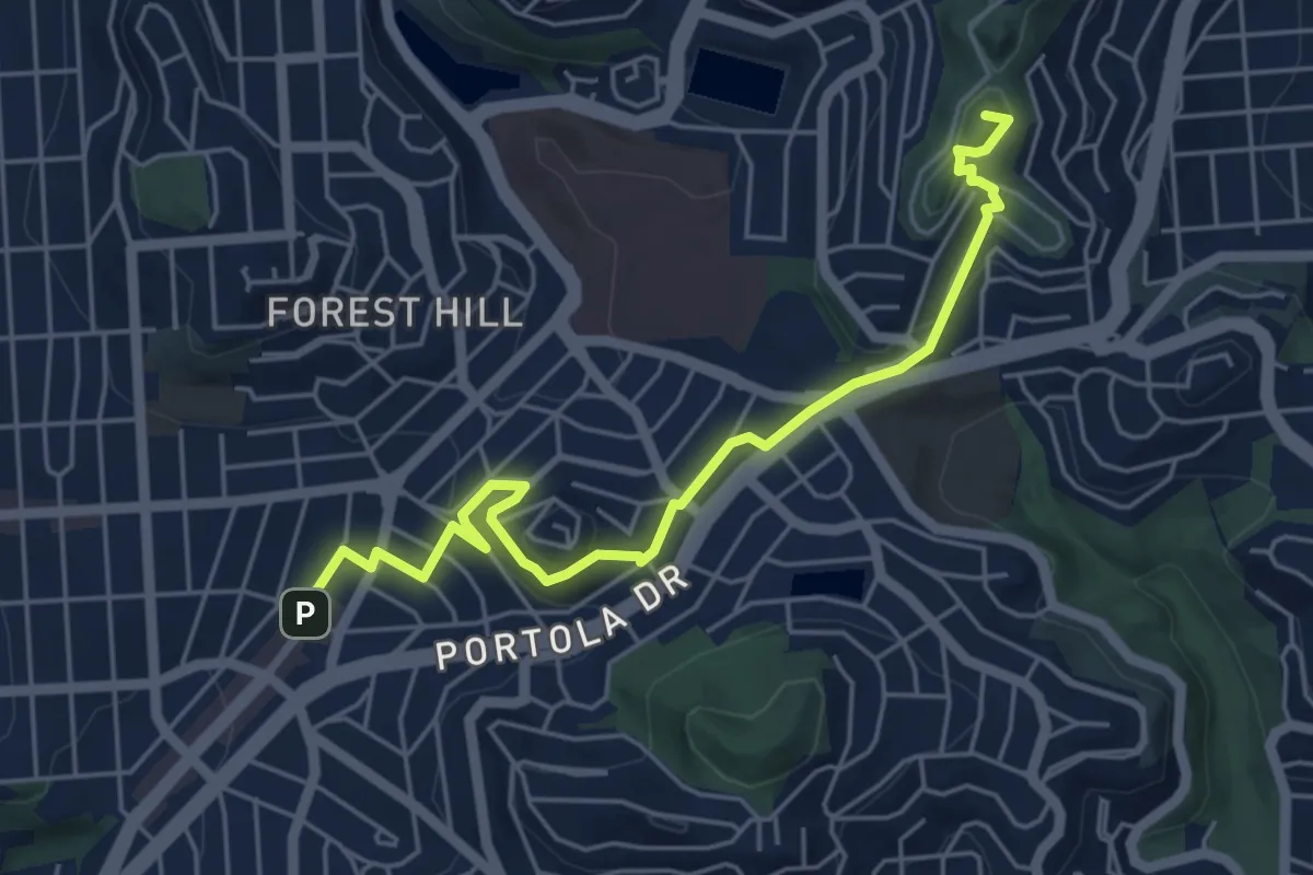
Easy · Summit
Double Cross Trail - Section 2
6.4 km · ↑ 210 m · 1 h 59 min · 6 km away
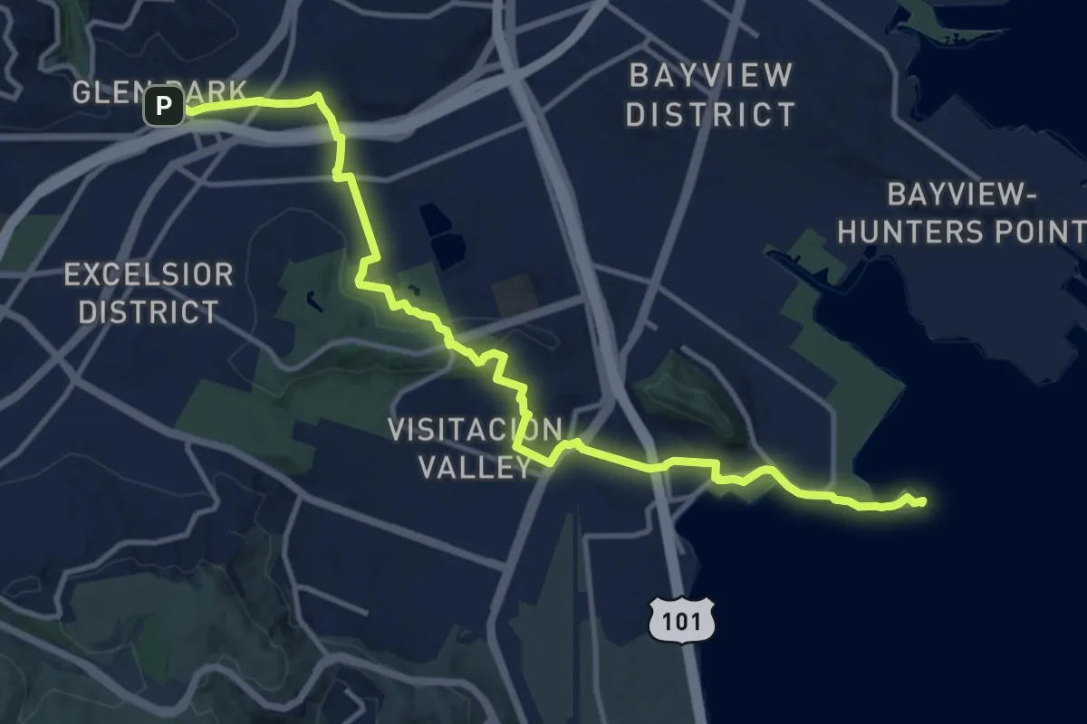
Medium · Trail
San Francisco Crosstown Trail - Hiking - Section 1
16.3 km · ↑ 310 m · 4 h 31 min · 6 km away
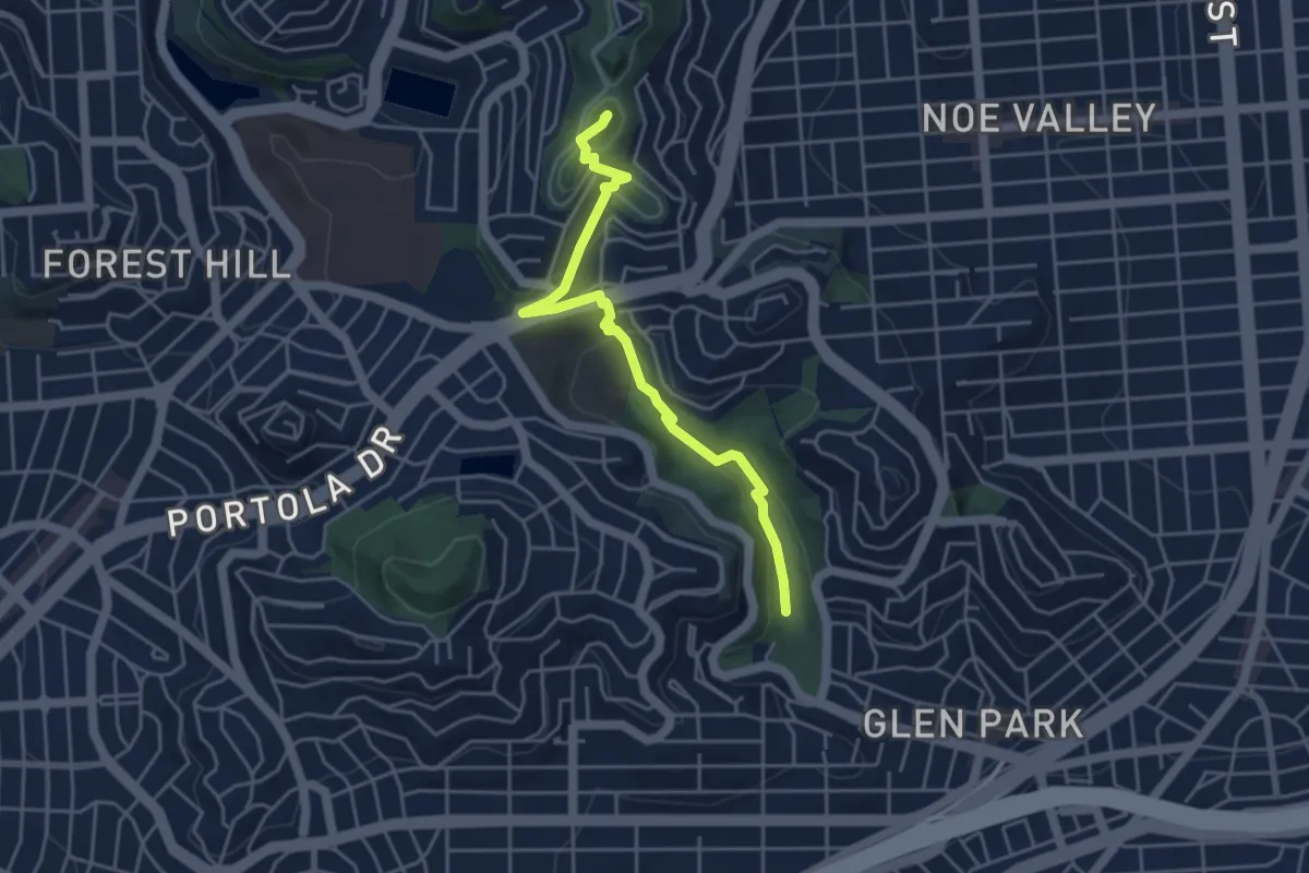
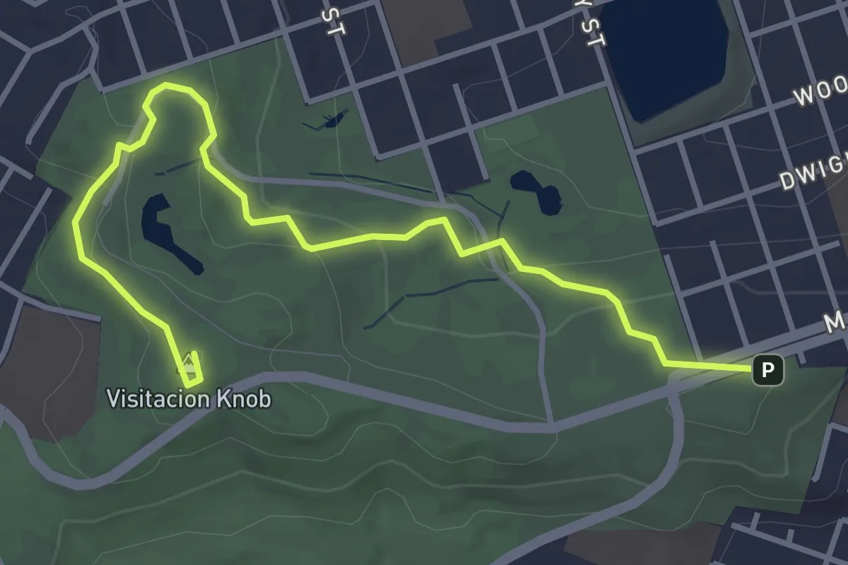
Easy · Summit
Creeks to Peaks
5.2 km · ↑ 194 m · 1 h 39 min · 6 km away
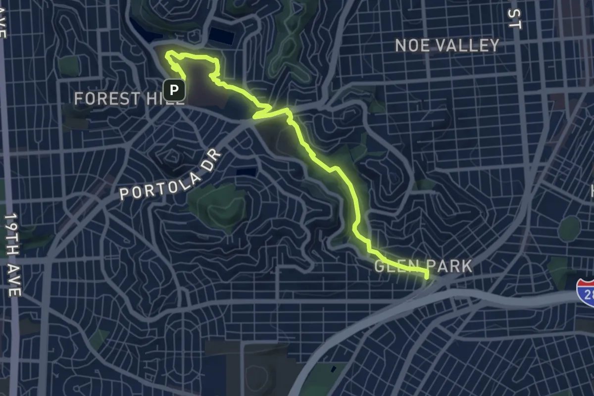
Easy · Summit
Philosopher's Way
4.8 km · ↑ 159 m · 1 h 28 min · 6 km away
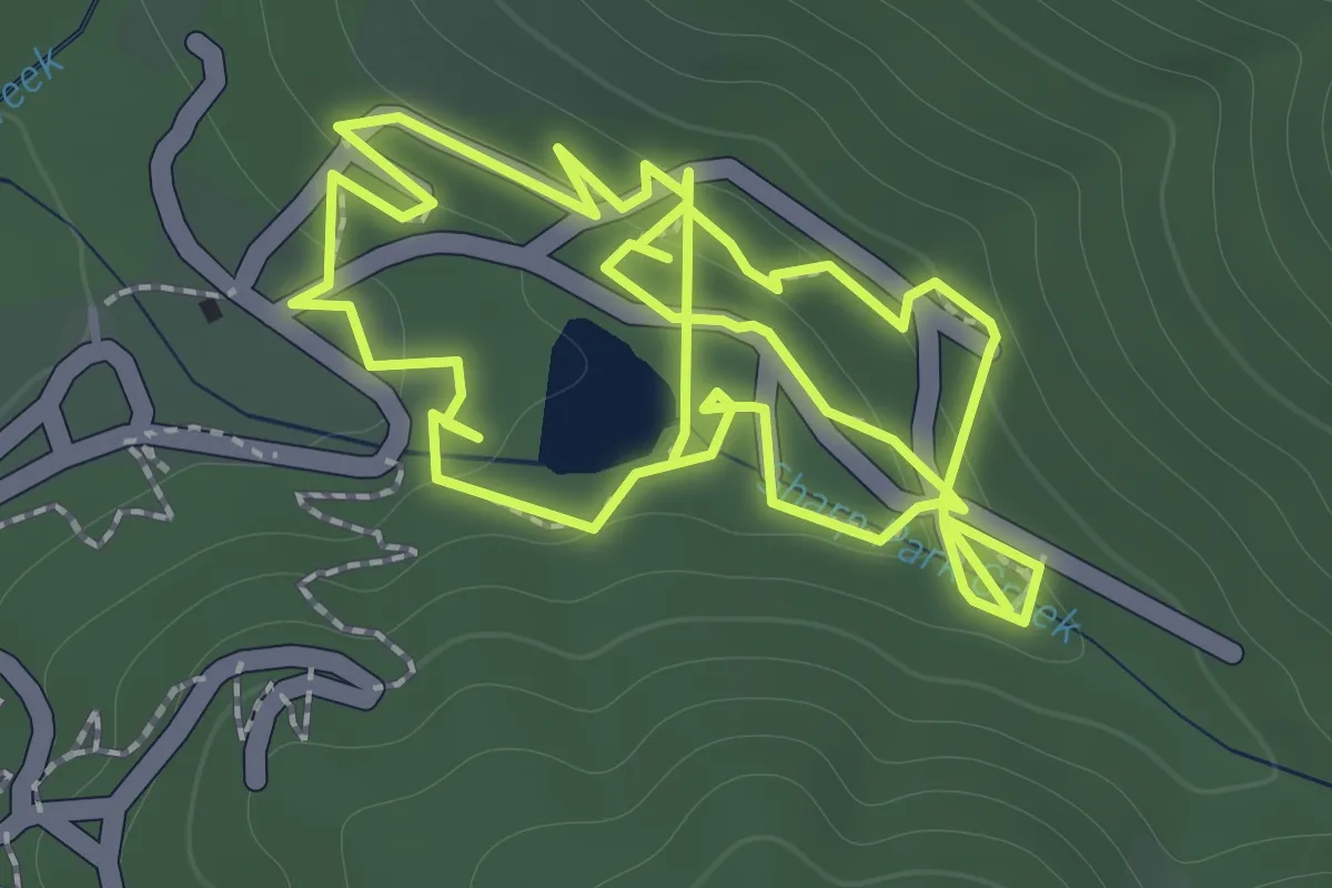
Medium · Trail
San Francisco Crosstown Trail - Hiking - Section 2
9.4 km · ↑ 269 m · 2 h 48 min · 7 km away
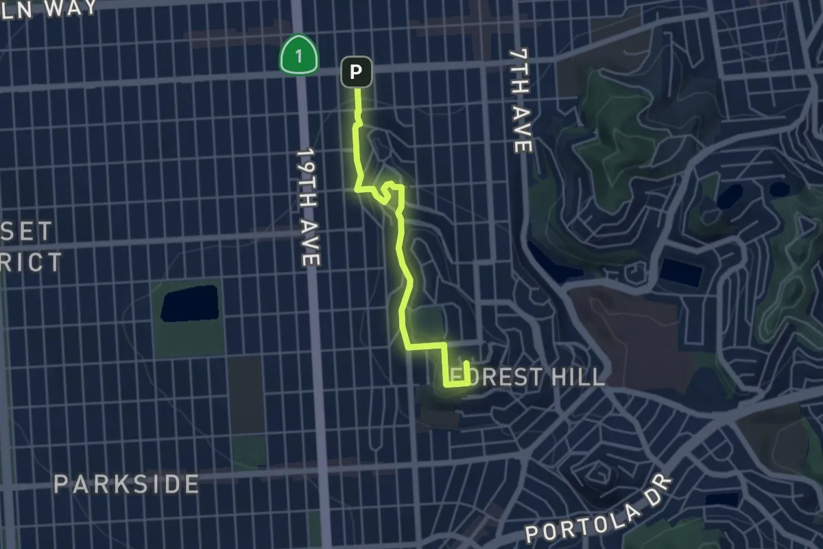
Easy · Trail
White Range Trail
3.8 km · ↑ 164 m · 1 h 16 min · 7 km away
Easy · Summit
San Francisco Crosstown Trail - Hiking - Section 3
5.0 km · ↑ 204 m · 1 h 37 min · 8 km away
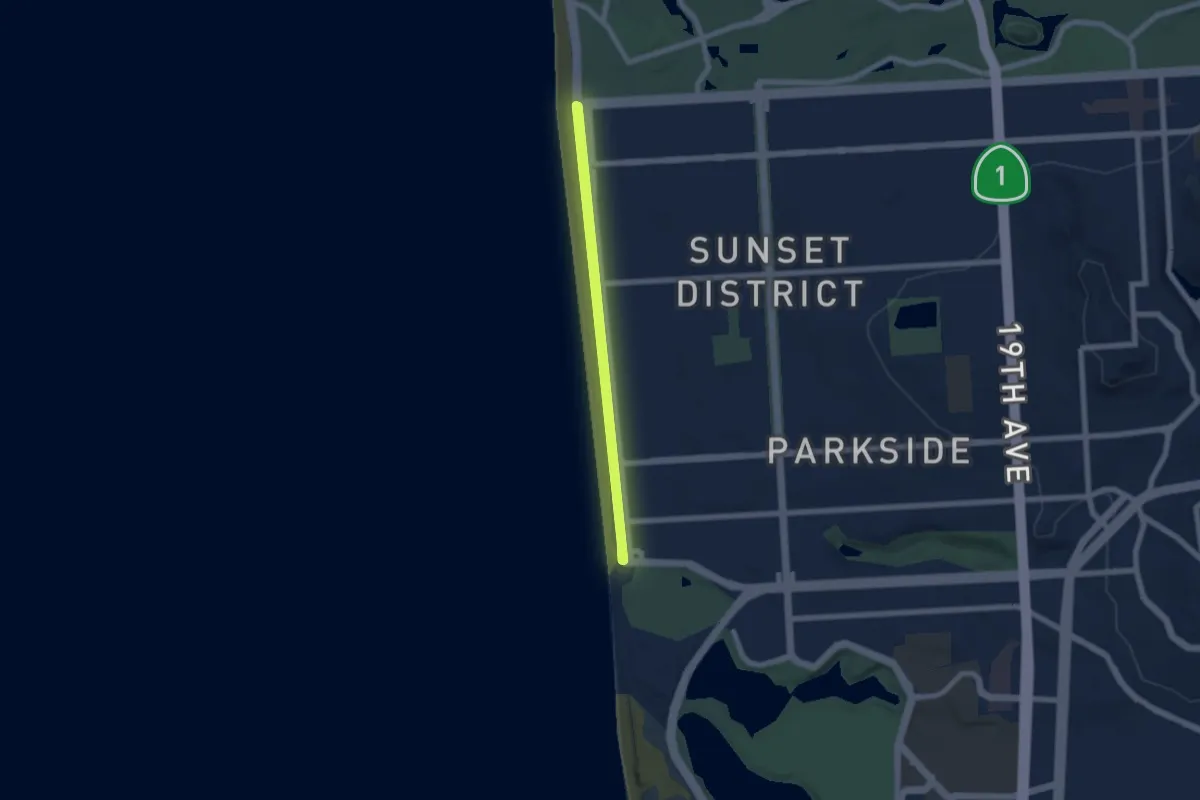
Easy · Trail
Great Highway
6.3 km · ↑ 0 m · 1 h 35 min · 9 km away
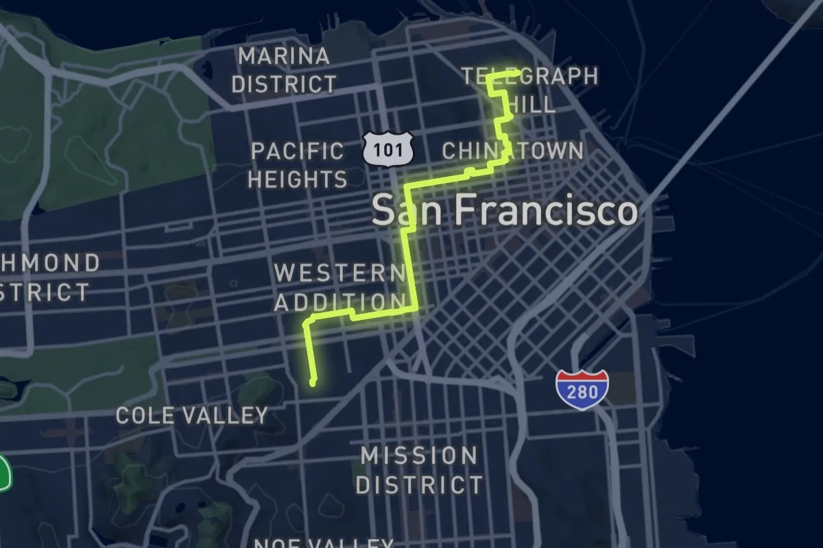
Medium · Summit
Double Cross Trail - Section 3
14.2 km · ↑ 319 m · 4 h 2 min · 9 km away
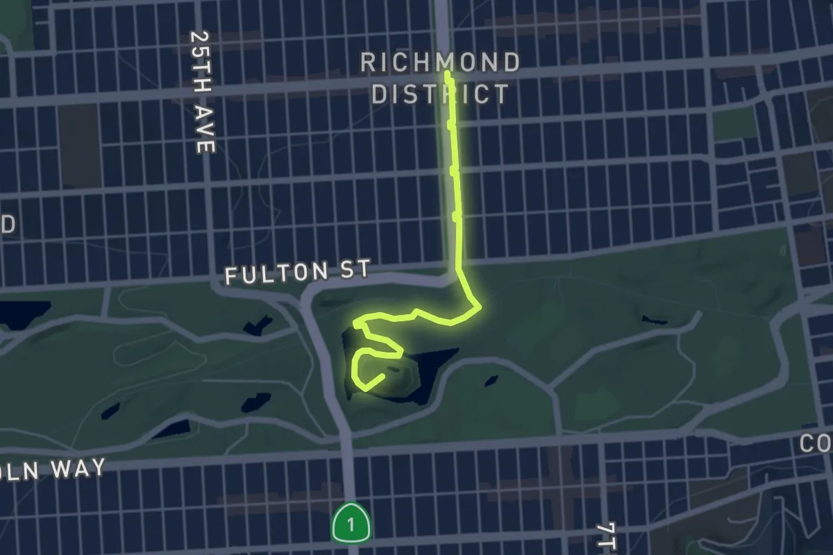
Easy · Summit
San Francisco Crosstown Trail - Hiking - Section 4
5.1 km · ↑ 83 m · 1 h 23 min · 10 km away
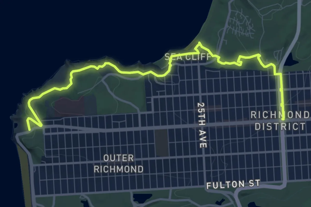
Medium · Trail
San Francisco Crosstown Trail - Hiking - Section 5
12.5 km · ↑ 190 m · 3 h 22 min · 10 km away
Easy · Trail
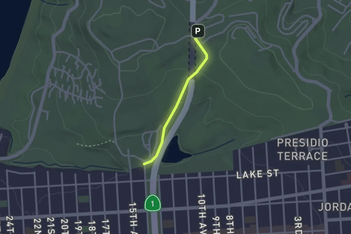
Park Trail
2.2 km · ↑ 51 m · 38 min · 12 km away
Easy · Trail
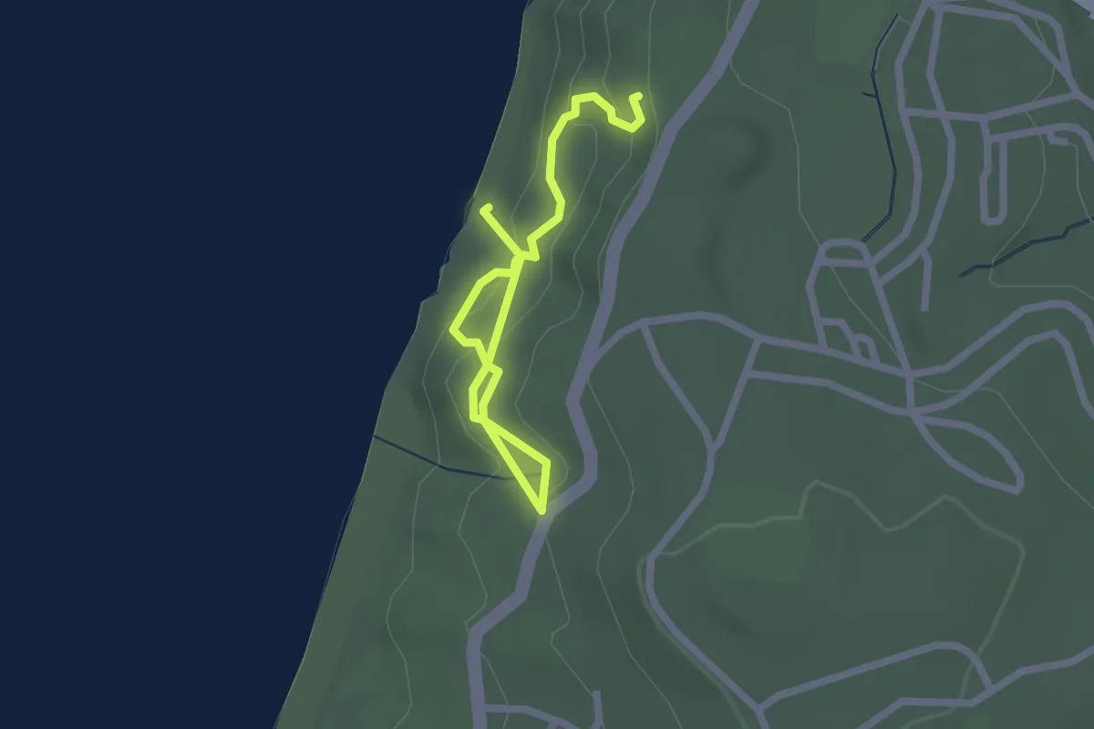
Batteries to Bluffs Trail
2.9 km · ↑ 169 m · 1 h 3 min · 12 km away
Medium · Trail
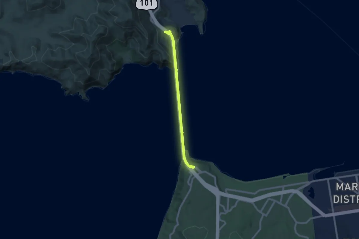
Bay Area Ridge Trail - Section 01 - Golden Gate Bridge
6.4 km · ↑ 416 m · 2 h 25 min · 13 km away
Easy · Summit
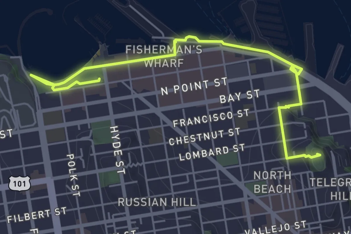
The Barbary Coast Trail
6.9 km · ↑ 89 m · 1 h 50 min · 14 km away
Demanding · Trail
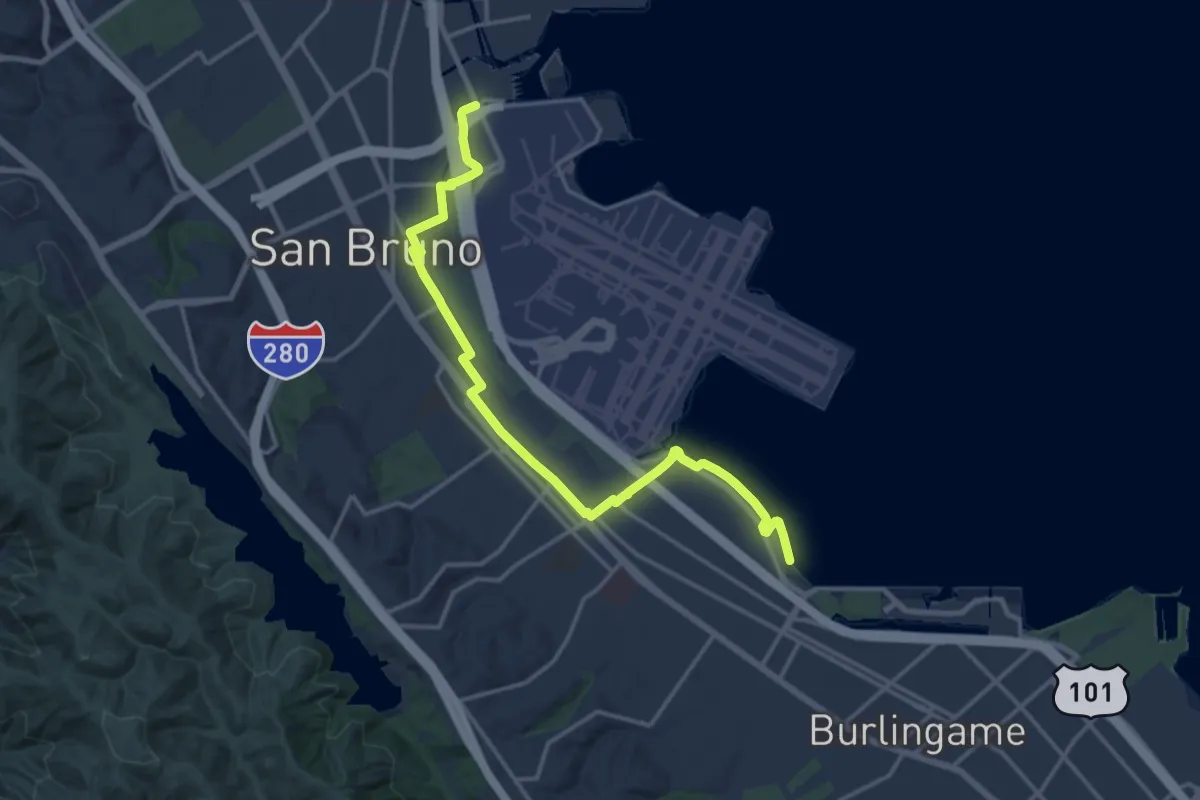
San Francisco Bay Trail walking route (in development)
19.2 km · ↑ 36 m · 4 h 37 min · 14 km away