Trails near Deep River
47 hikes starting within 15 km, nearest first.
Nearest first
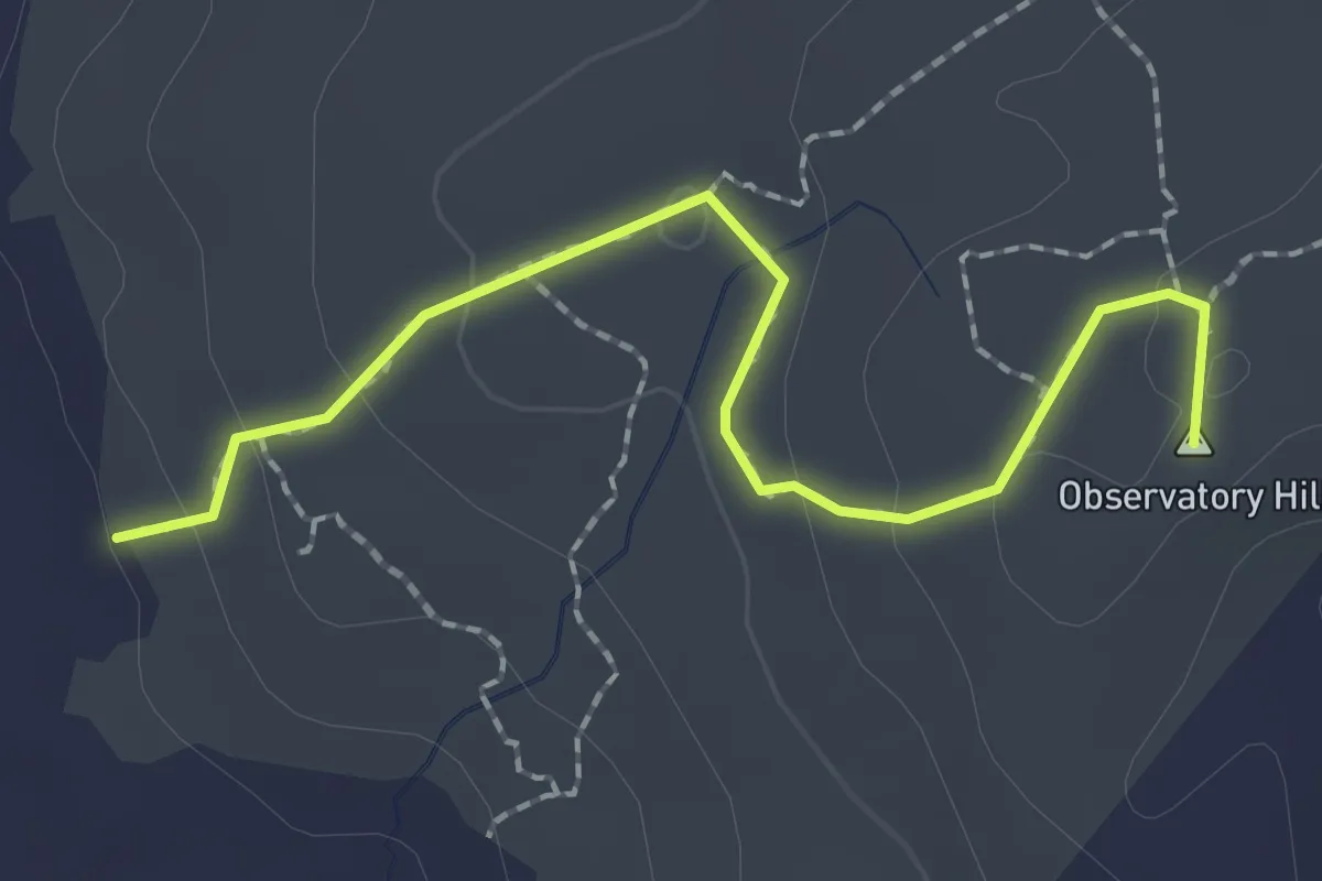
Easy · Summit
White Trail
2.3 km · ↑ 100 m · 46 min · 3 km away
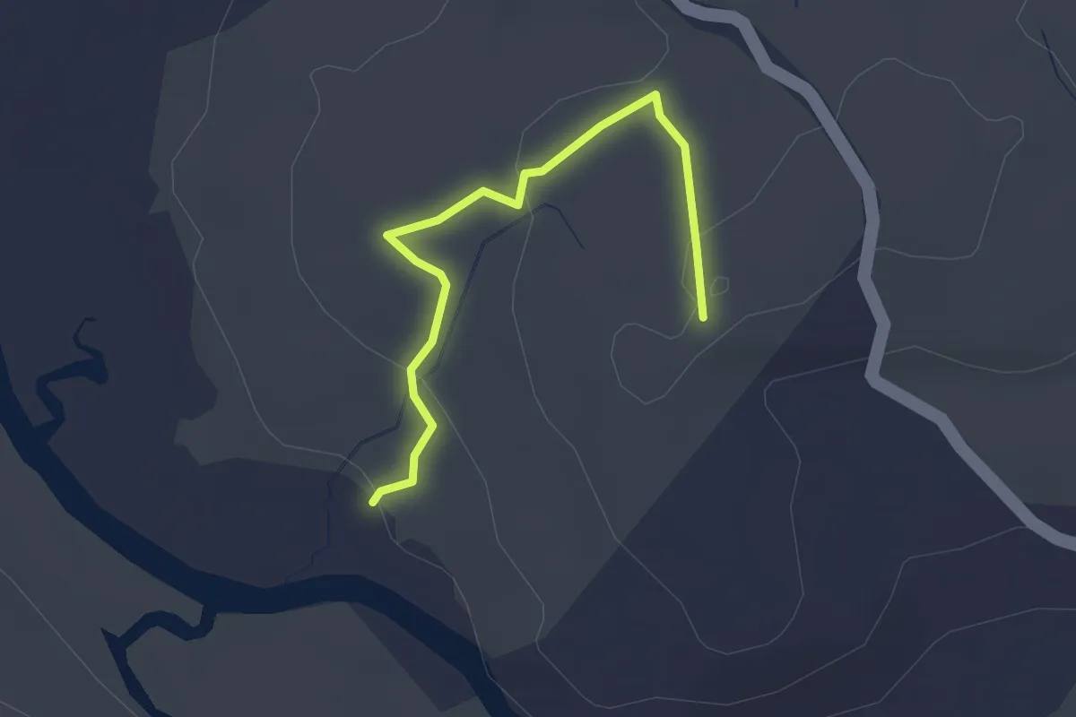
Easy · Summit
Blue Trail
2.6 km · ↑ 74 m · 46 min · 3 km away
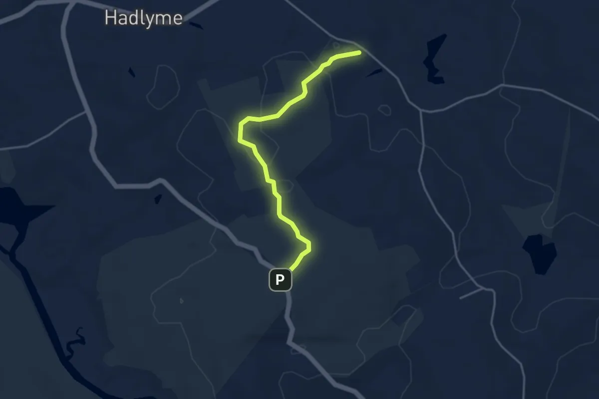
Easy · Trail
White Trail
3.7 km · ↑ 75 m · 1 h 2 min · 4 km away
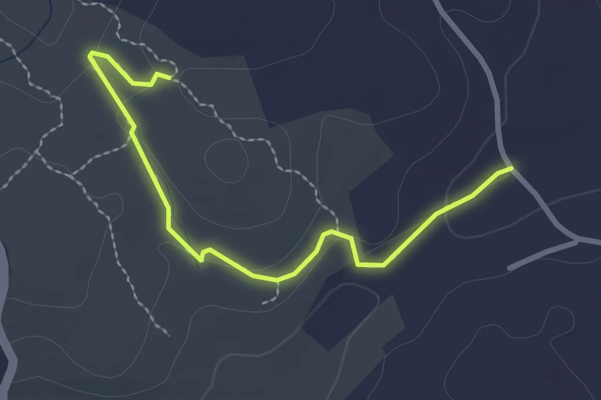
Easy · Trail
Ravine Trail
2.6 km · ↑ 67 m · 46 min · 4 km away
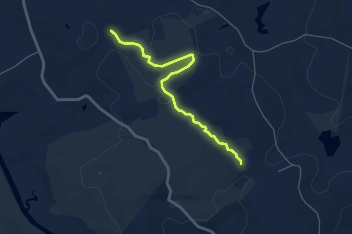
Easy · Trail
Purple Trail
4.6 km · ↑ 91 m · 1 h 17 min · 5 km away
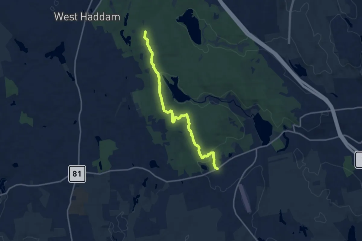
Medium · Trail
White Trail
11.7 km · ↑ 205 m · 3 h 13 min · 7 km away
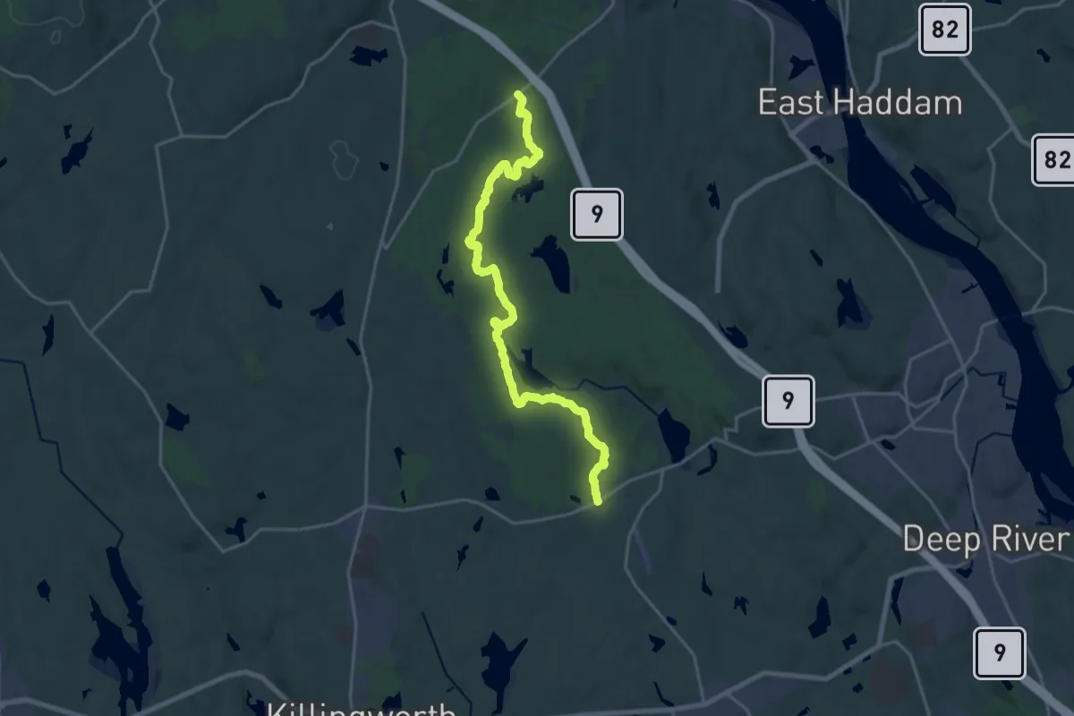
Demanding · Trail
Cockaponset Trail
22.3 km · ↑ 530 m · 6 h 25 min · 7 km away
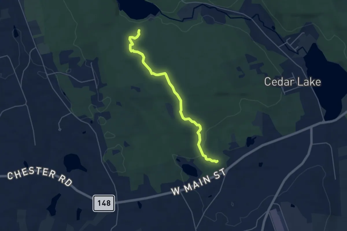
Easy · Trail
South Pattaconk Trail
4.9 km · ↑ 135 m · 1 h 27 min · 7 km away
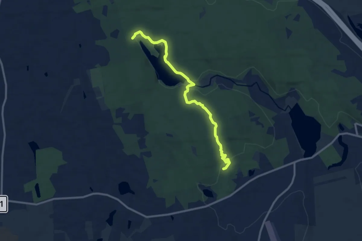
Medium · Trail
Yellow Trail
8.1 km · ↑ 121 m · 2 h 11 min · 7 km away
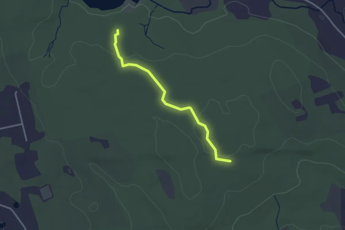
Easy · Trail
Yellow-White Trail
2.7 km · ↑ 36 m · 43 min · 7 km away
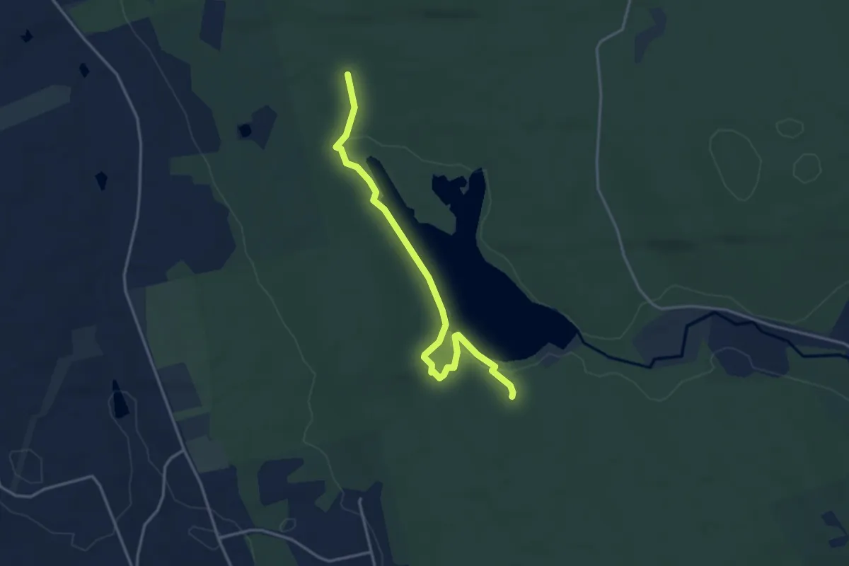
Easy · Trail
North Pattaconk Trail
3.9 km · ↑ 33 m · 1 h · 8 km away
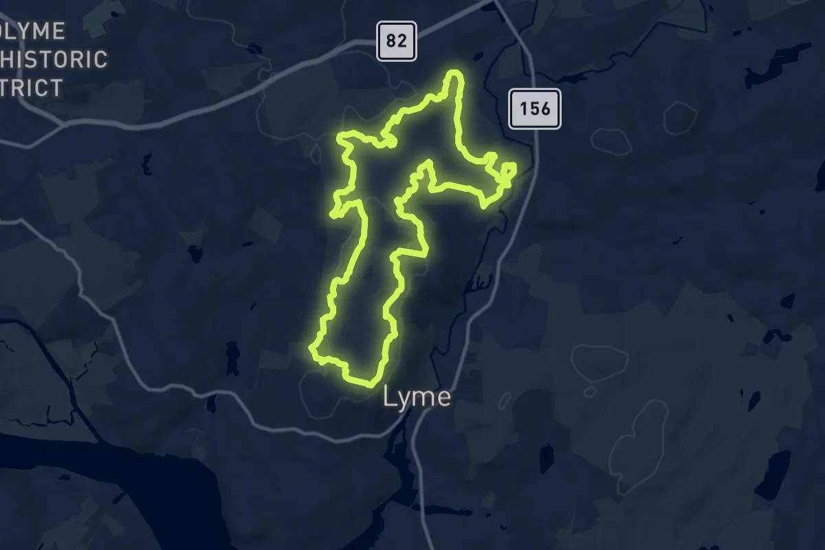
Medium · Trail
Moore Trail
14.6 km · ↑ 311 m · 4 h 19 min · 9 km away
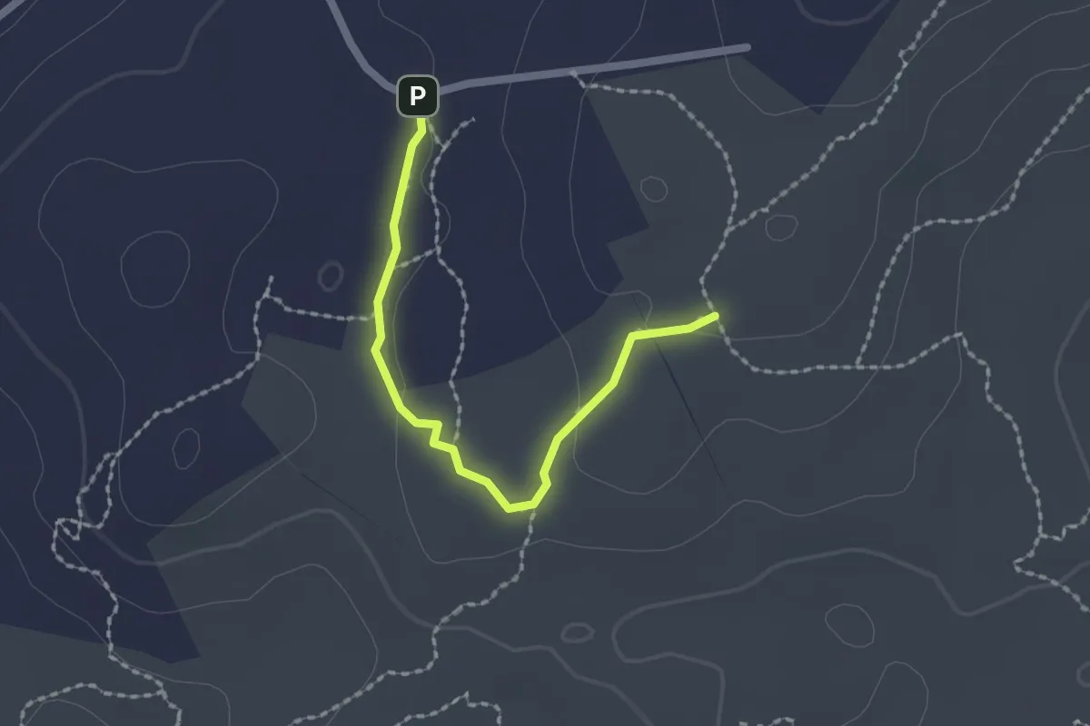
Easy · Trail
Orange Trail
2.0 km · ↑ 40 m · 34 min · 9 km away
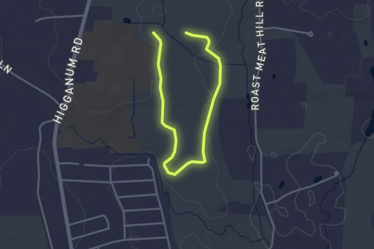
Easy · Trail
Pavelka Red Trail
4.2 km · ↑ 58 m · 1 h 7 min · 10 km away
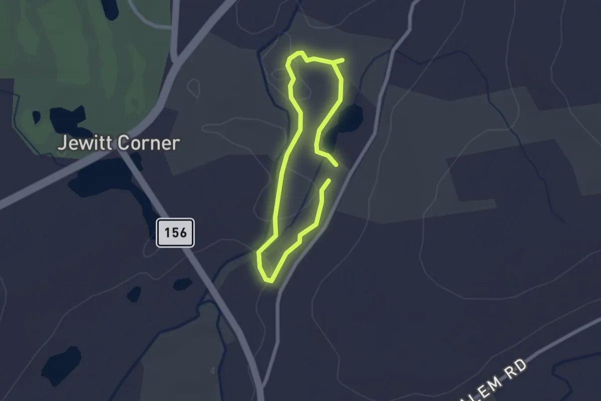
Easy · Trail
Red Trail
1.7 km · ↑ 16 m · 28 min · 10 km away
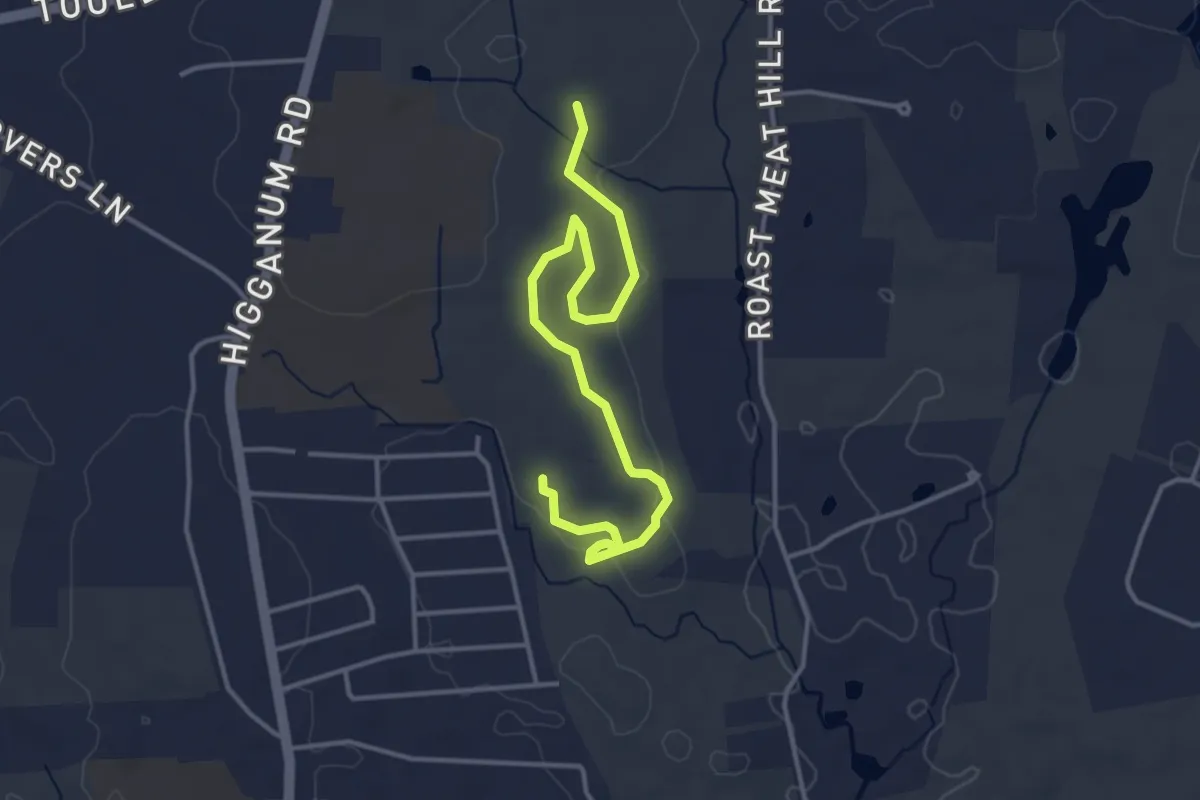
Easy · Trail
Bosco Trail
4.6 km · ↑ 64 m · 1 h 14 min · 10 km away
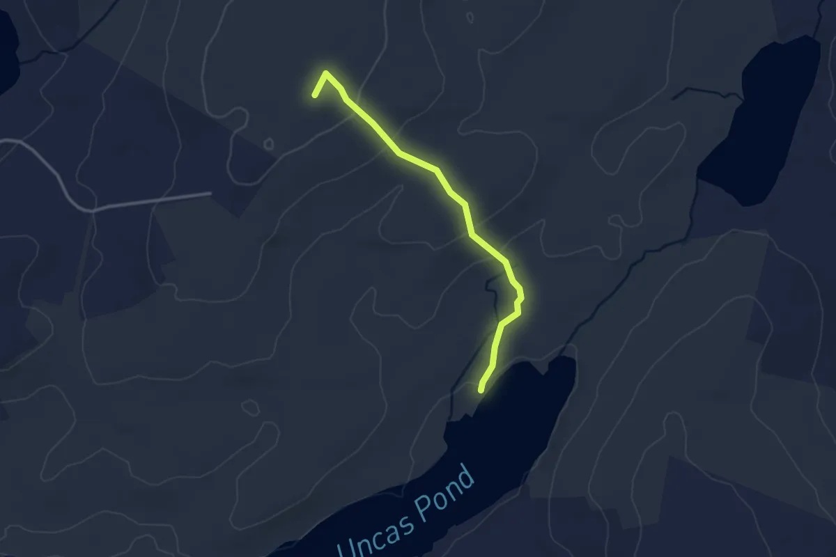
Easy · Summit
Uncas Pond Connector
3.0 km · ↑ 136 m · 1 h · 10 km away
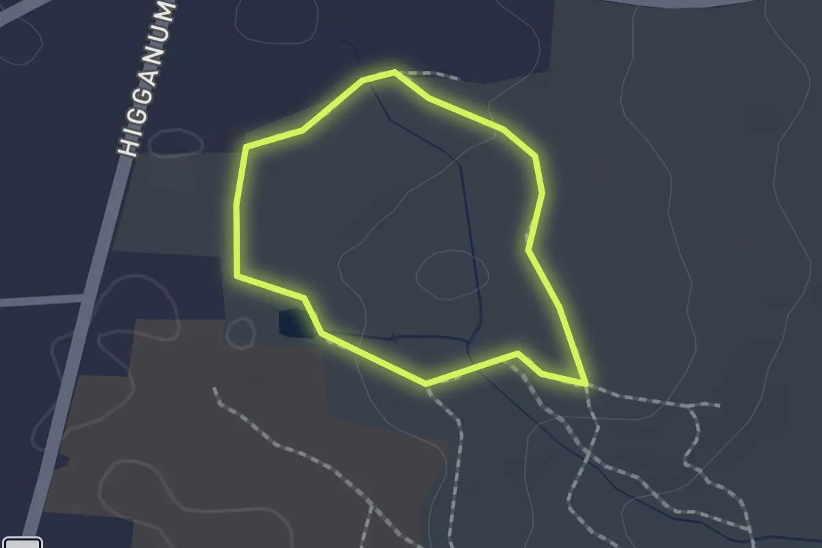
Easy · Trail
Parmelee Trail
1.3 km · ↑ 6 m · 21 min · 10 km away
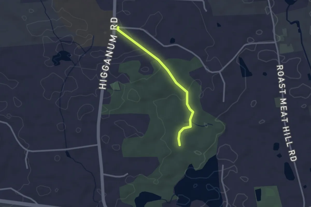
Easy · Trail
Wolf Hollow Trail
2.4 km · ↑ 47 m · 40 min · 11 km away
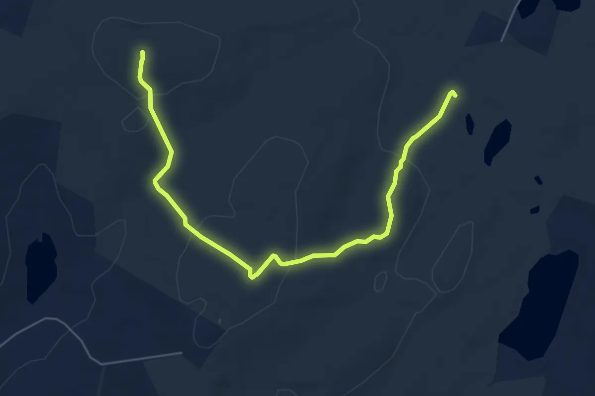
Easy · Summit
Nayantaquit Trail
6.4 km · ↑ 232 m · 2 h 1 min · 11 km away
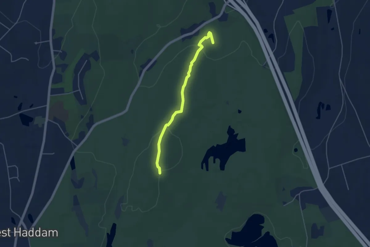
Easy · Trail
Wildwood Trail
4.4 km · ↑ 125 m · 1 h 18 min · 11 km away
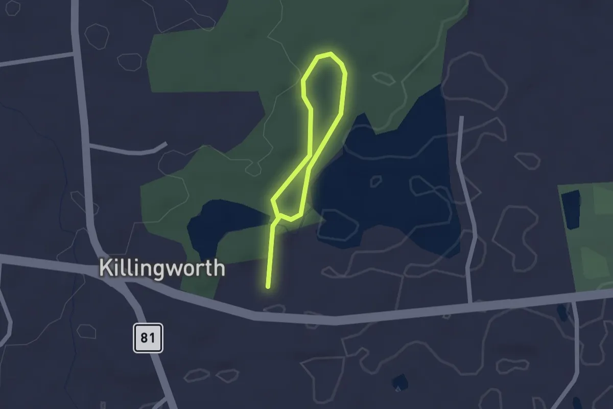
Easy · Trail
Sensory Interpretive Trail
2.2 km · ↑ 29 m · 35 min · 11 km away
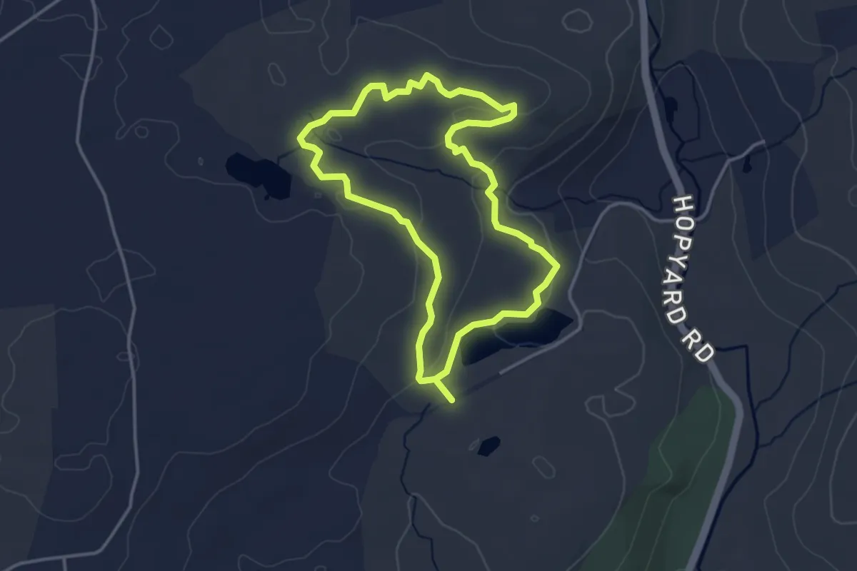
Easy · Trail
Casey's Trail
3.6 km · ↑ 97 m · 1 h 7 min · 11 km away
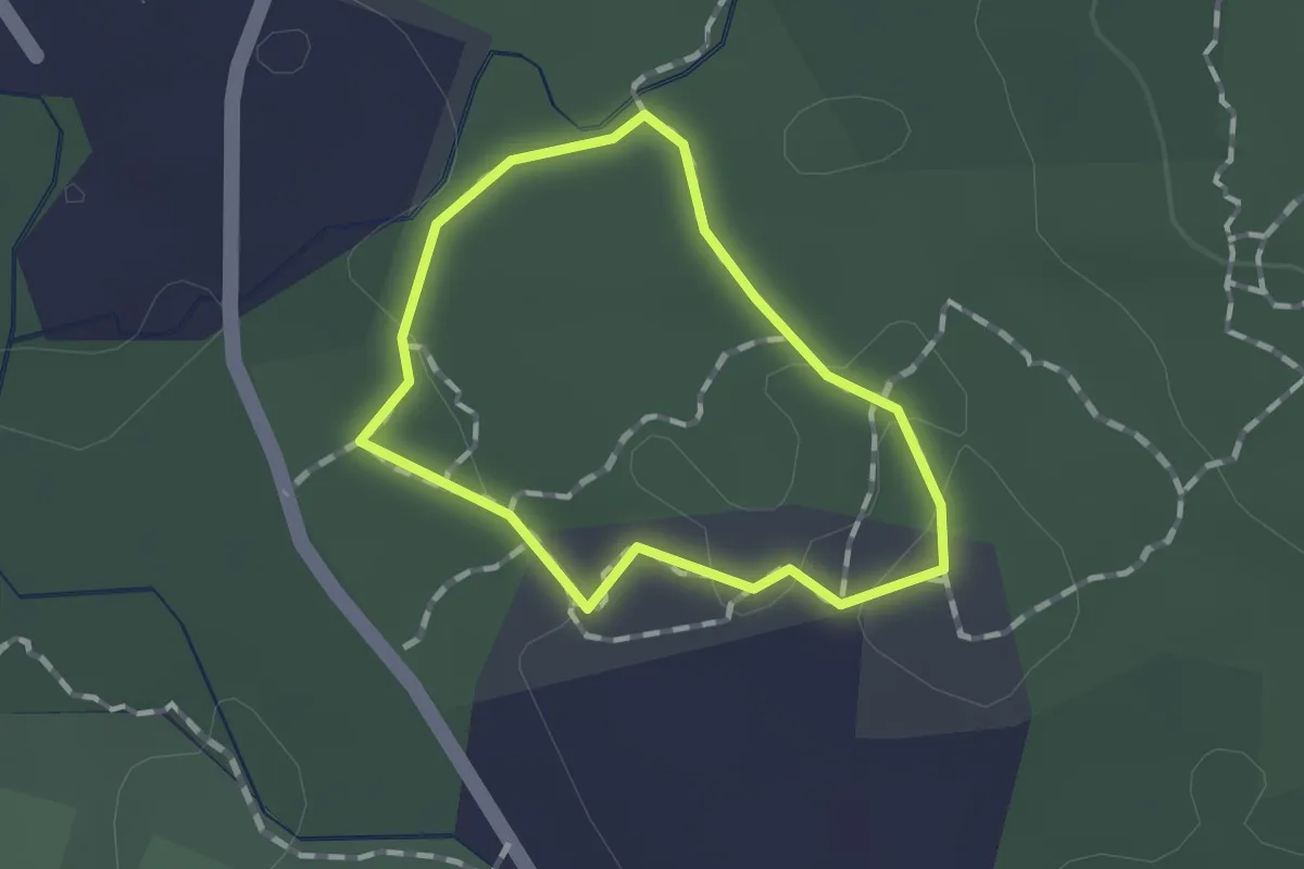
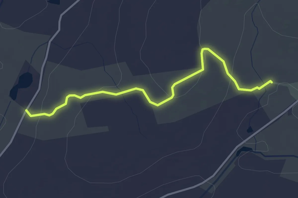
Easy · Trail
white
1.0 km · ↑ 15 m · 17 min · 11 km away
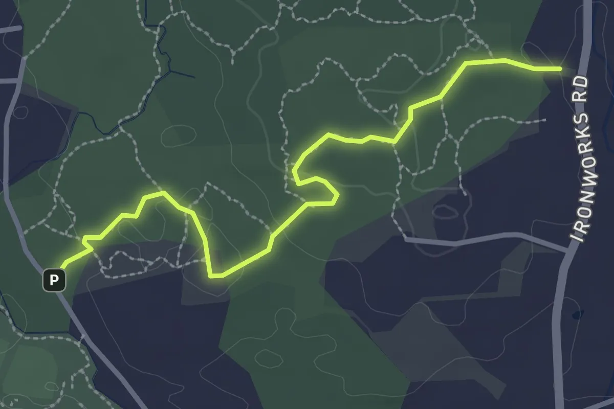
Easy · Trail
White Trail
3.6 km · ↑ 102 m · 1 h 4 min · 11 km away
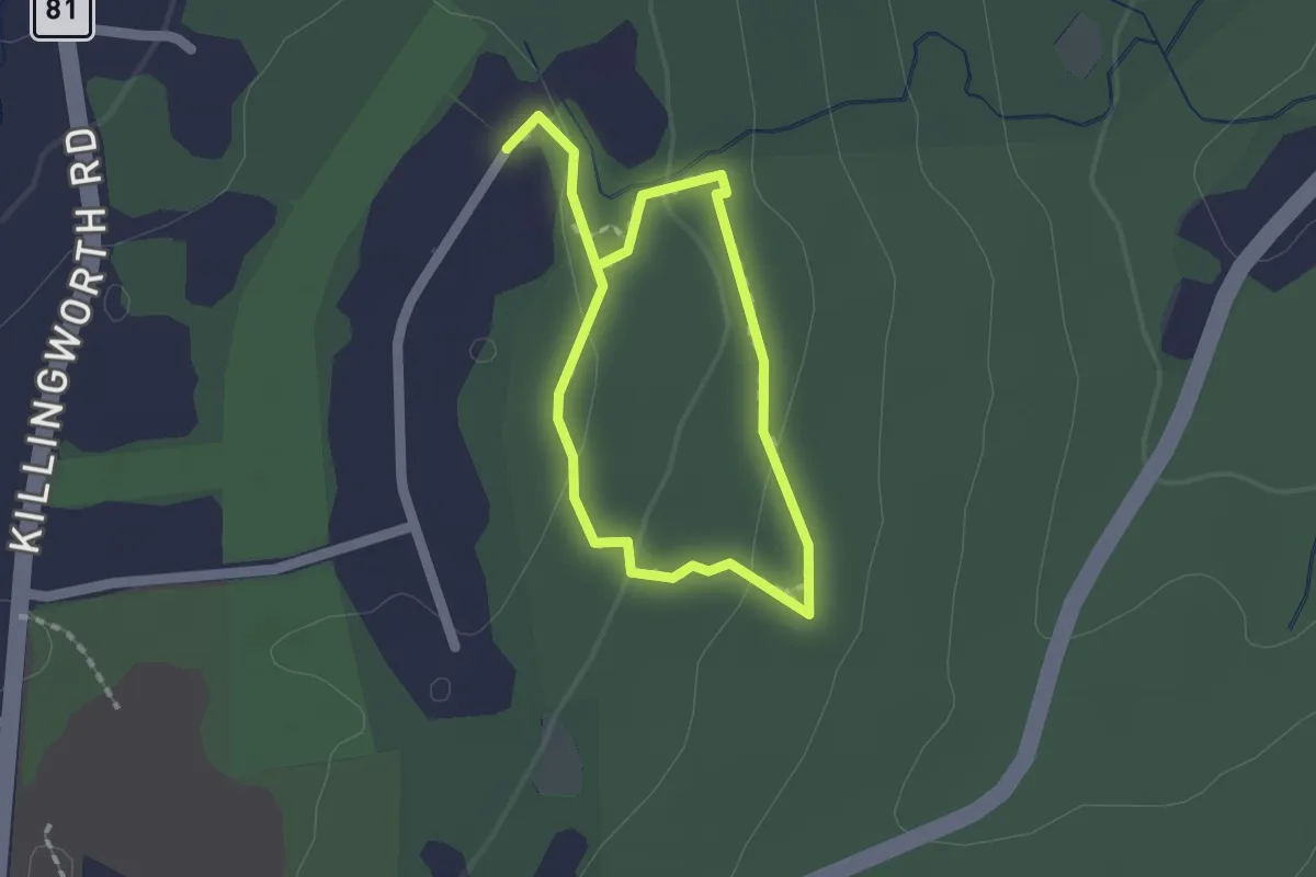
Easy · Trail
blue
3.2 km · ↑ 58 m · 54 min · 12 km away
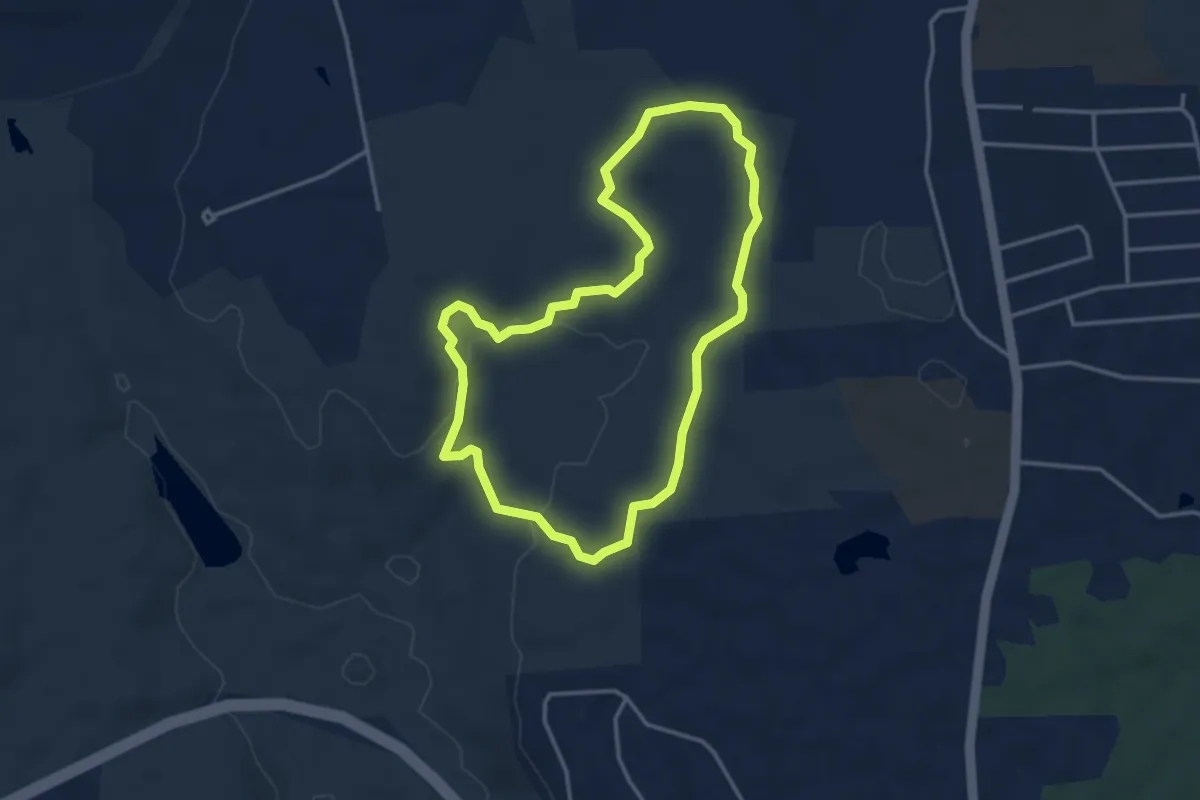
Easy · Trail
Washburn Trail
1.4 km · ↑ 36 m · 26 min · 12 km away
Easy · Trail
East Woods Trail
3.7 km · ↑ 118 m · 1 h 10 min · 12 km away
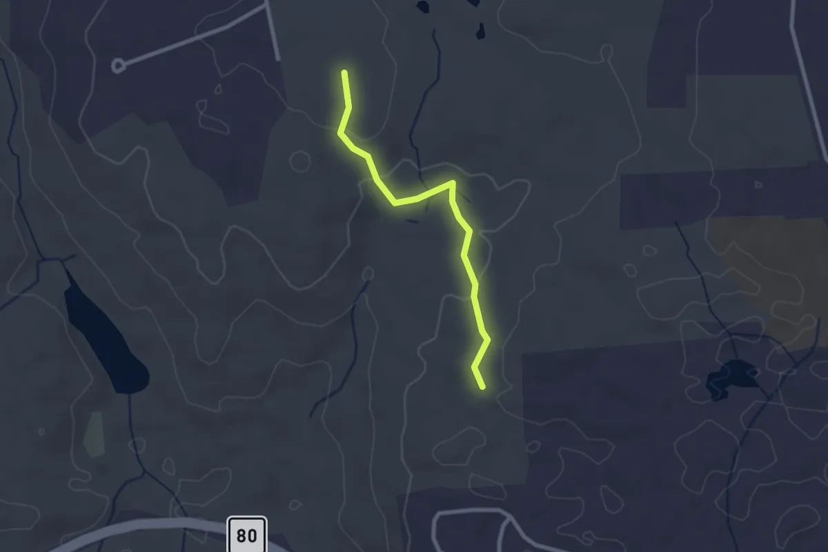
Easy · Trail
East Woods Connector
2.4 km · ↑ 73 m · 43 min · 12 km away
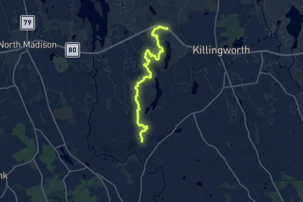
Medium · Trail
Chatfield Trail
13.5 km · ↑ 317 m · 3 h 53 min · 13 km away
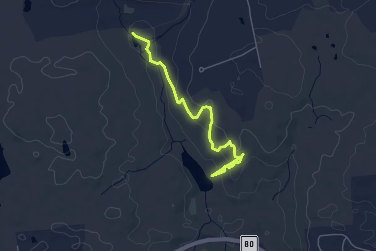
Easy · Trail
Ridge Trail
4.6 km · ↑ 178 m · 1 h 28 min · 13 km away
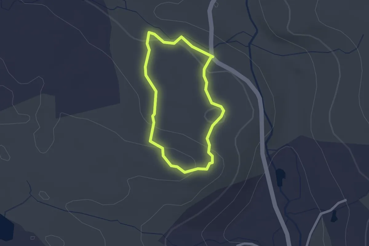
Easy · Trail
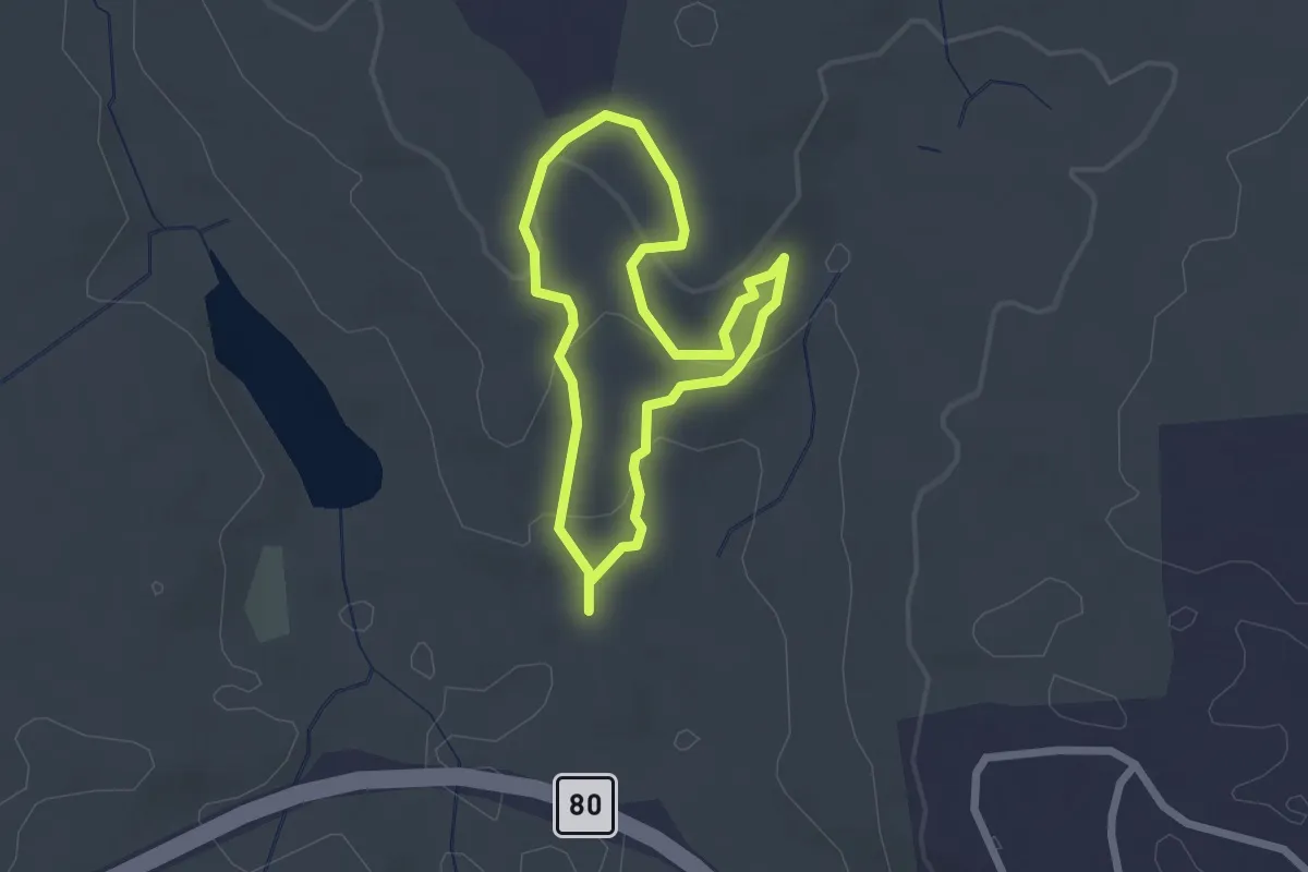
Witch Hazel Trail
1.8 km · ↑ 90 m · 39 min · 13 km away
Easy · Trail
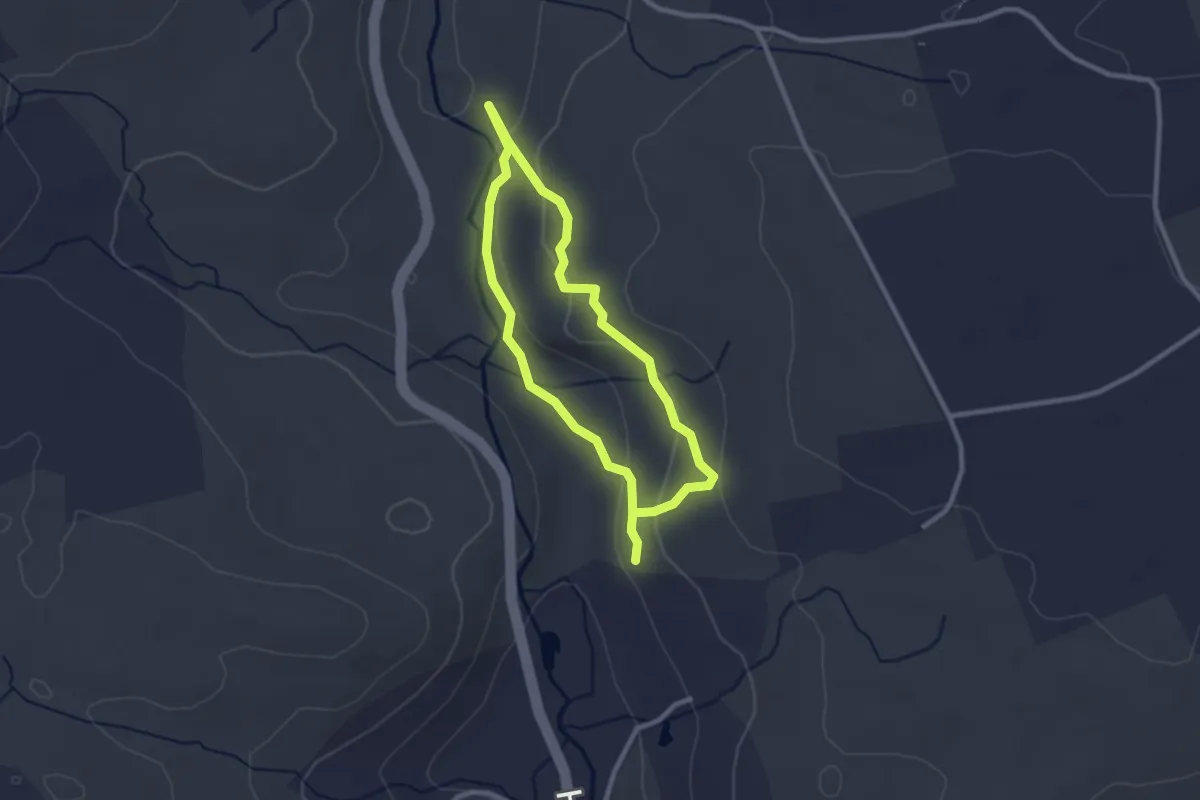
Lookout Trail
2.0 km · ↑ 95 m · 42 min · 13 km away
Easy · Trail
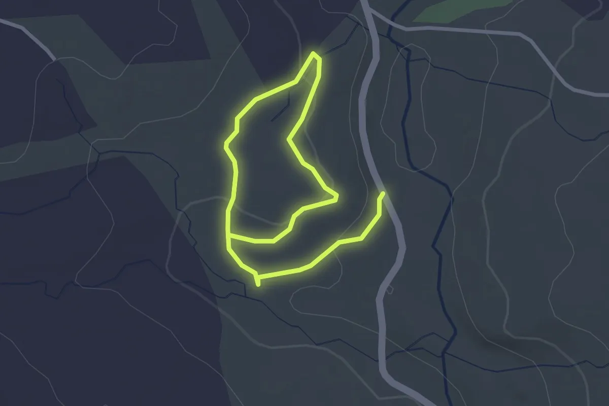
Vista Trail
2.4 km · ↑ 138 m · 52 min · 13 km away
Easy · Trail
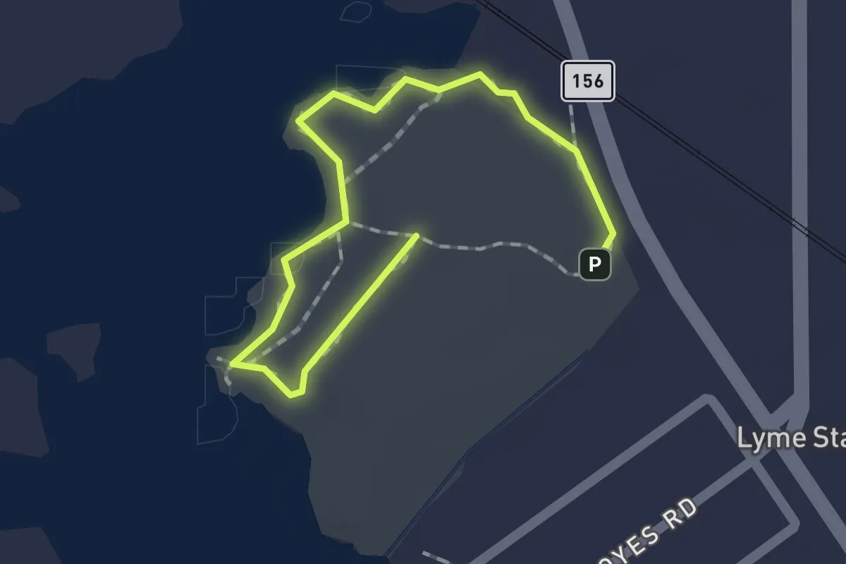
Woodcutters Trail
4.3 km · ↑ 78 m · 1 h 12 min · 13 km away
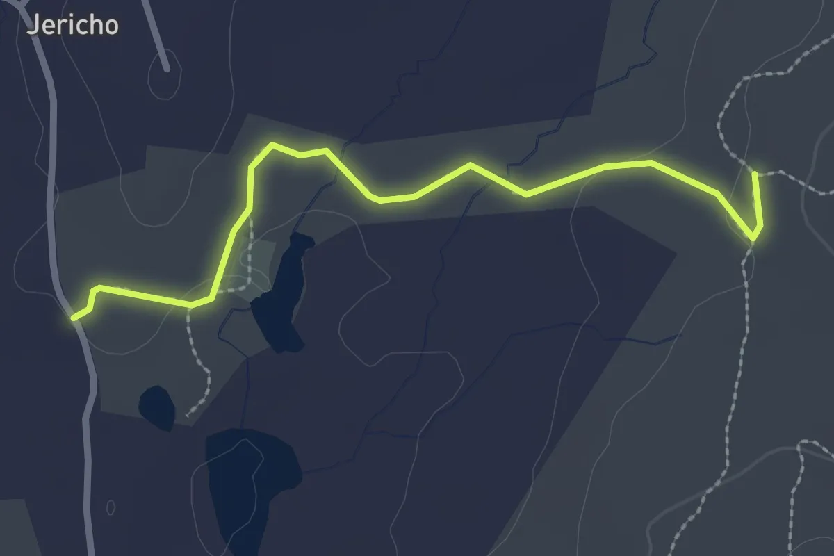
Easy · Trail
Yellow Trail
2.0 km · ↑ 32 m · 32 min · 13 km away
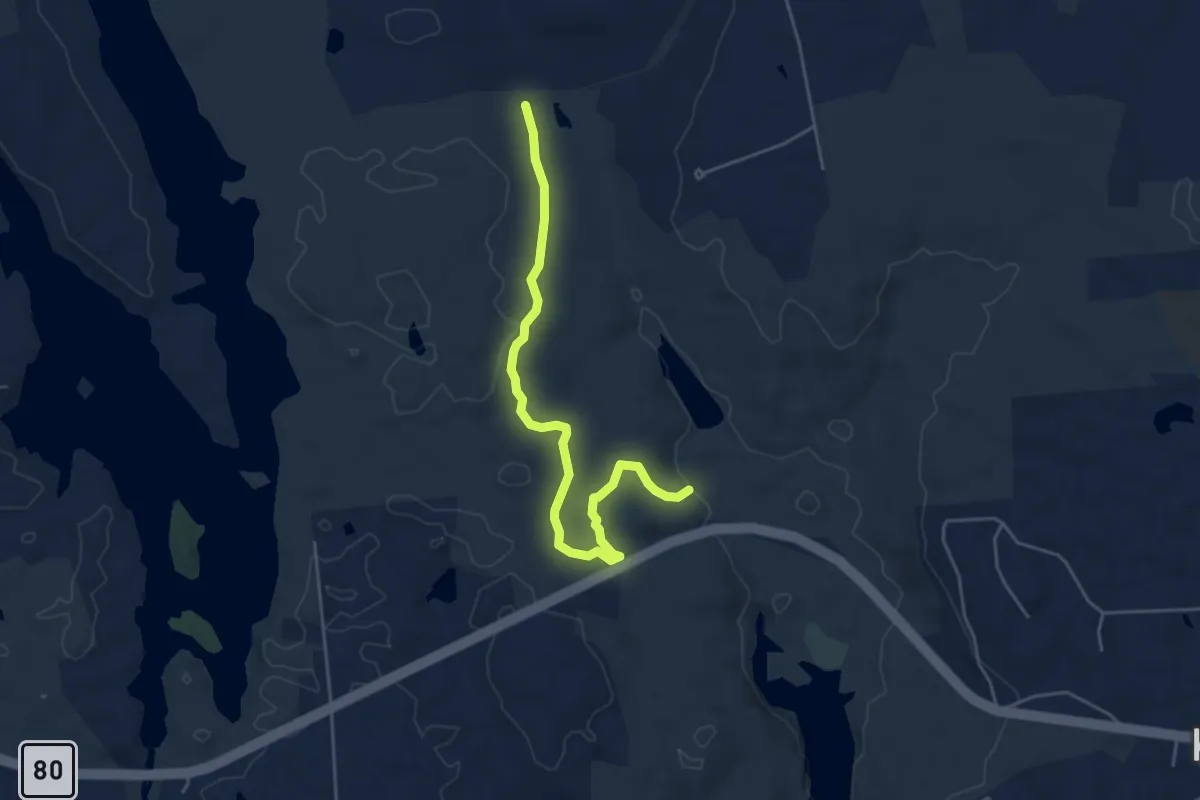
Easy · Trail
Tree in the Gap Trail
2.8 km · ↑ 35 m · 44 min · 13 km away
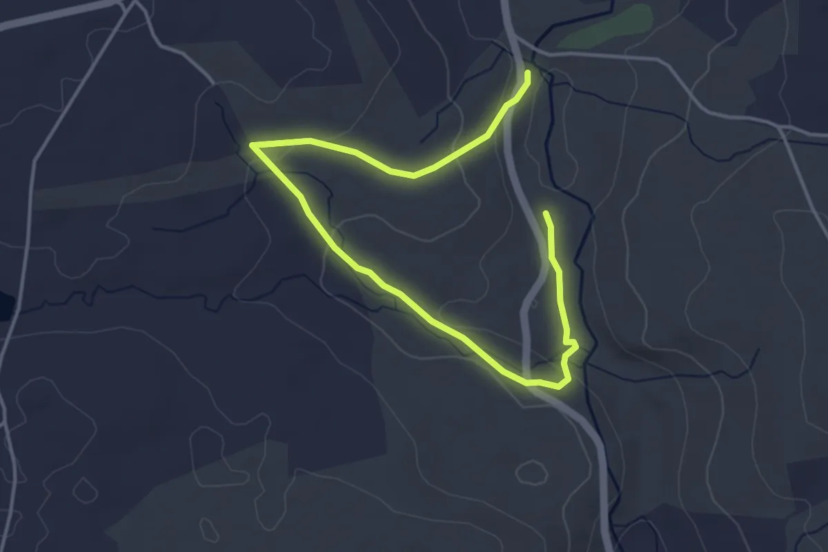
Easy · Trail
Deep Woods Trail
5.4 km · ↑ 110 m · 1 h 31 min · 13 km away
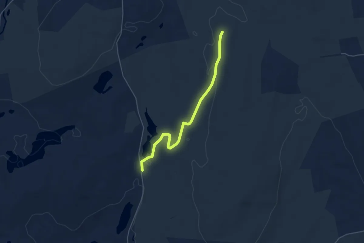
Easy · Trail
Millington Trail
5.5 km · ↑ 123 m · 1 h 35 min · 13 km away
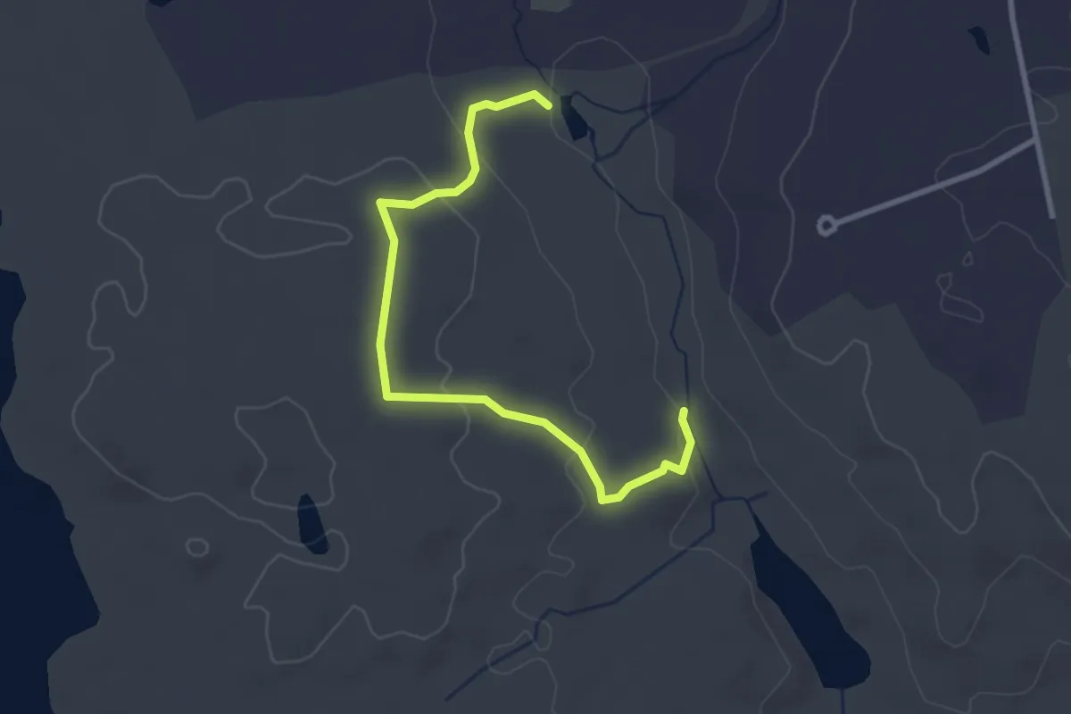
Easy · Trail
Park Road
4.6 km · ↑ 86 m · 1 h 16 min · 13 km away
Easy · Trail
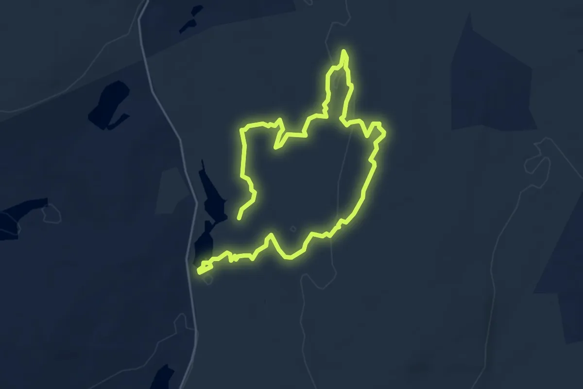
West Crest Trail
3.4 km · ↑ 129 m · 1 h 5 min · 13 km away
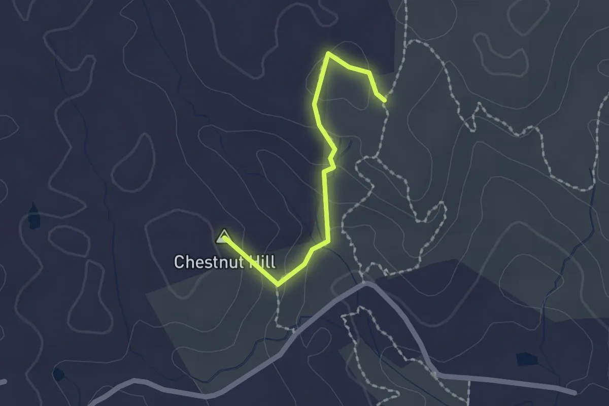
Medium · Trail
Heritage Trail
8.4 km · ↑ 199 m · 2 h 25 min · 13 km away
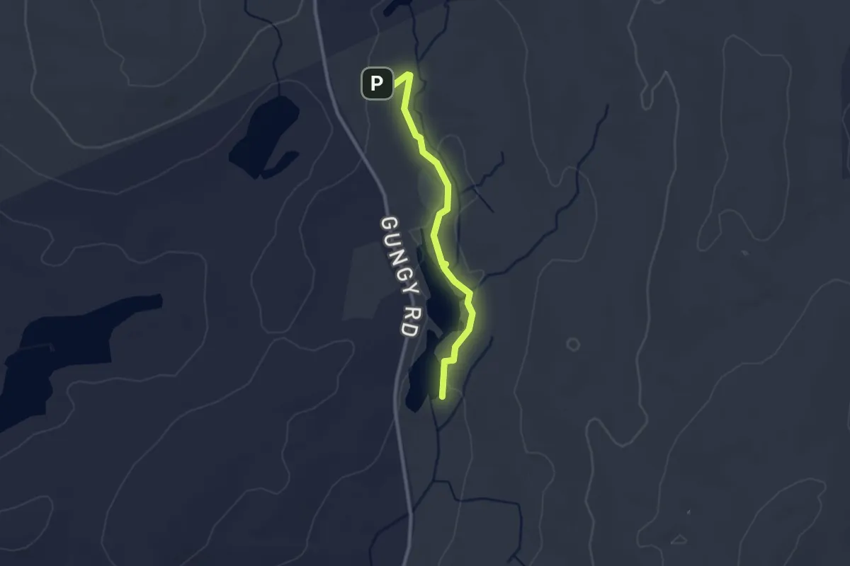
Easy · Summit
Chatfield Alternate Trail
1.7 km · ↑ 85 m · 35 min · 13 km away
Easy · Trail
Red Trail, Hartman
2.5 km · ↑ 29 m · 40 min · 14 km away
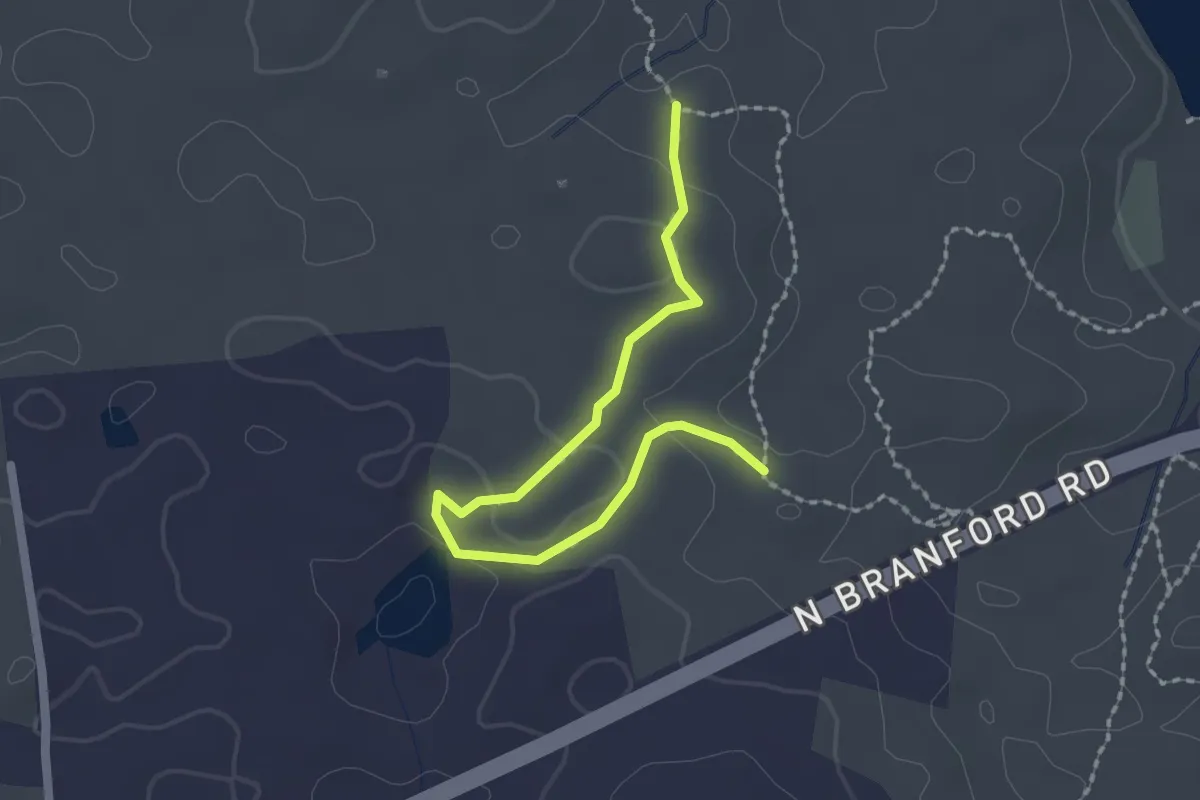
Easy · Trail
White Pond Trail
2.4 km · ↑ 96 m · 46 min · 14 km away
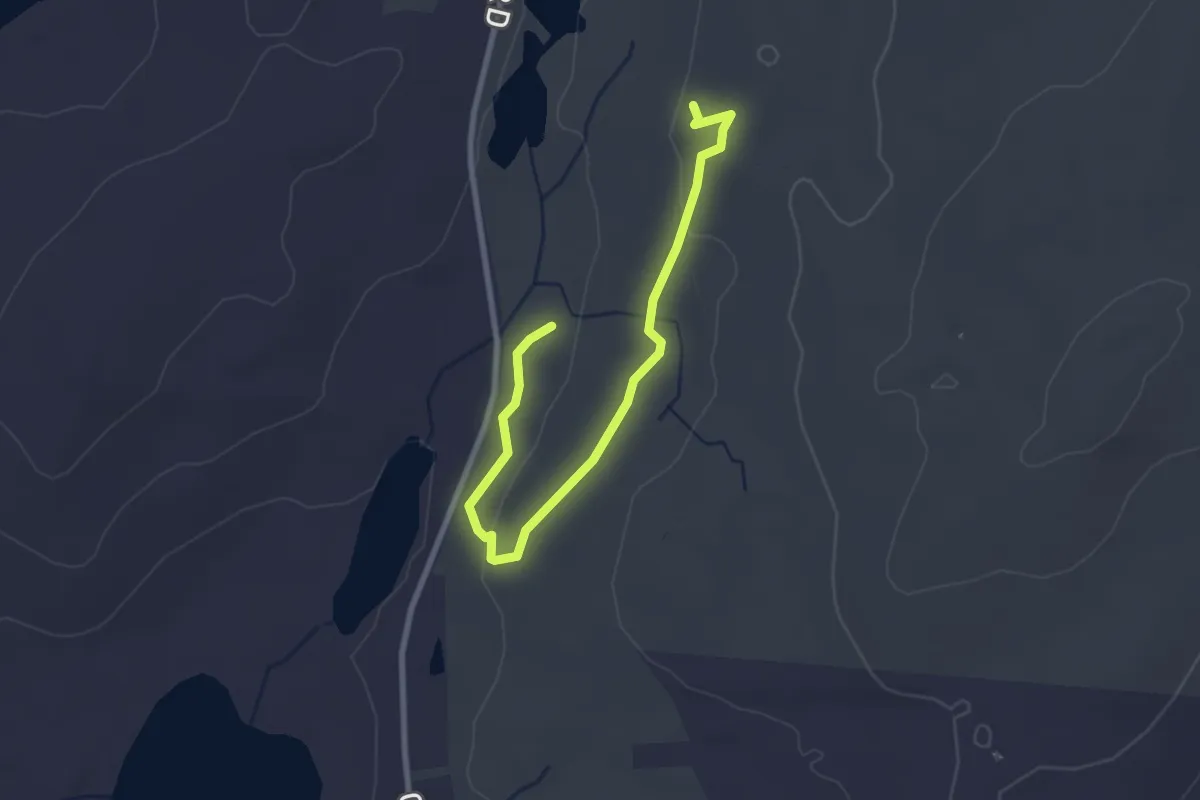
Easy · Trail
White Trail, Hartman
3.3 km · ↑ 84 m · 58 min · 14 km away
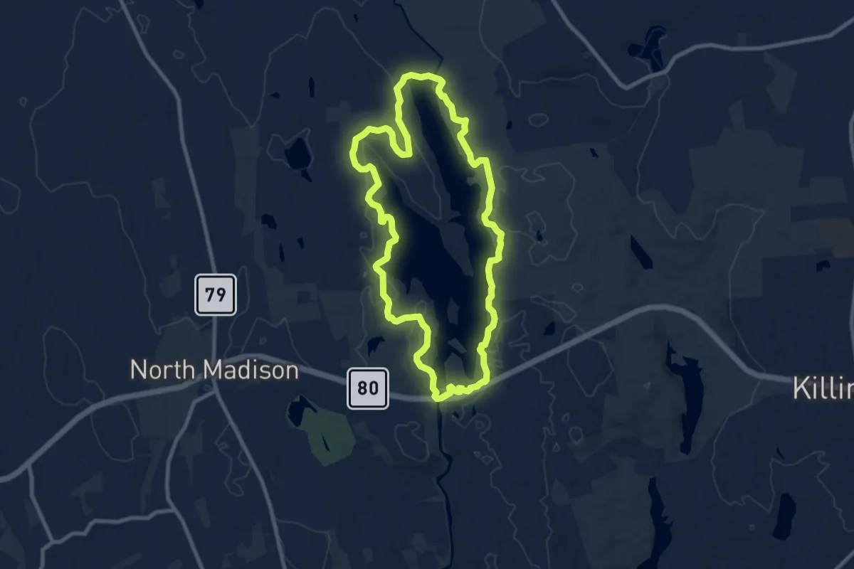
Medium · Trail
White Trail
9.5 km · ↑ 146 m · 2 h 41 min · 15 km away