Trails near Downingtown
22 hikes starting within 15 km, nearest first.
Nearest first
Easy · Trail
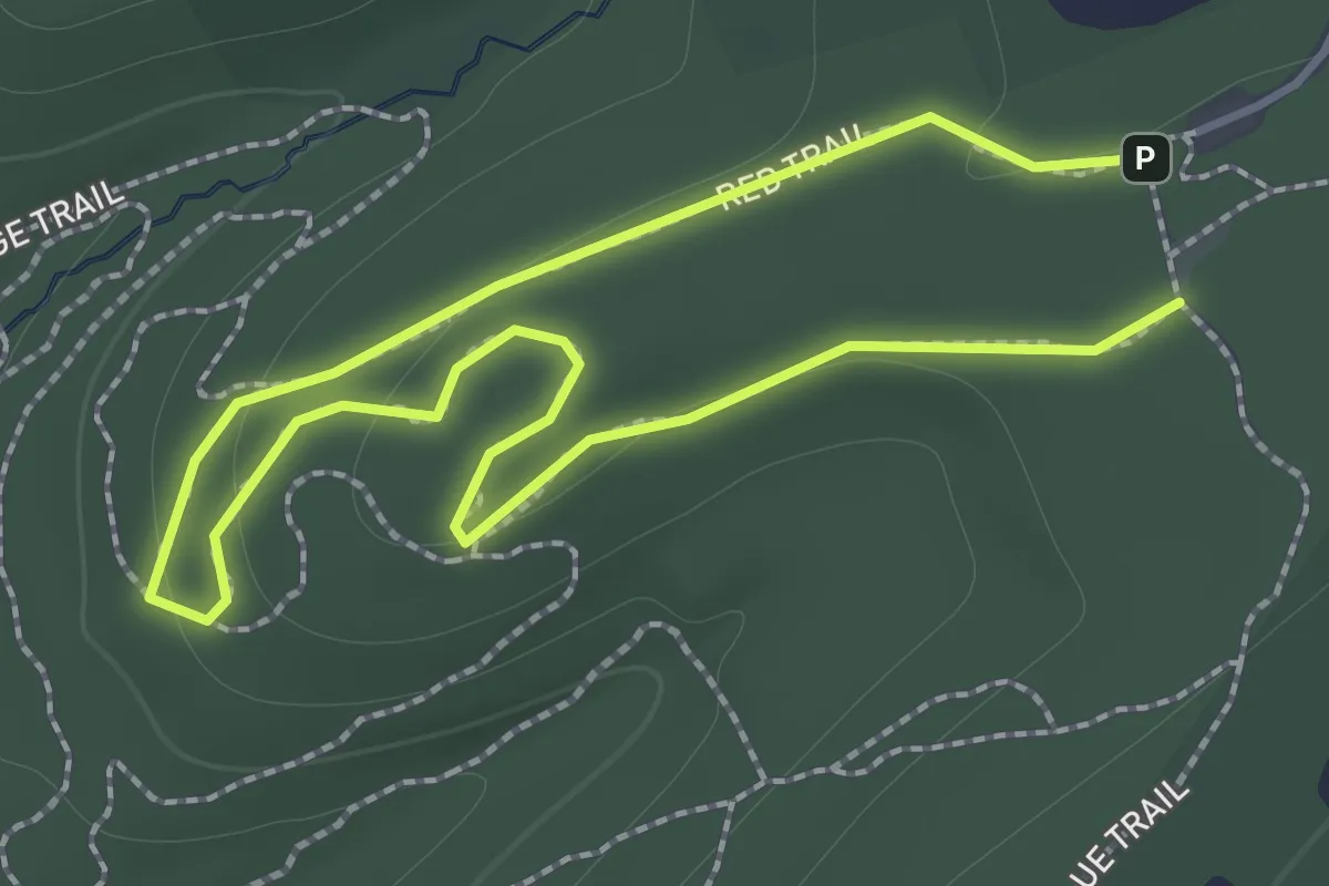
Red Trail
1.4 km · ↑ 20 m · 23 min · 3 km away
Easy · Trail
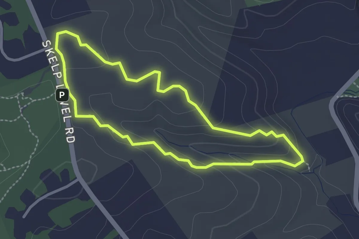
Hogs' Hollow Trail
2.6 km · ↑ 64 m · 47 min · 3 km away
Easy · Trail
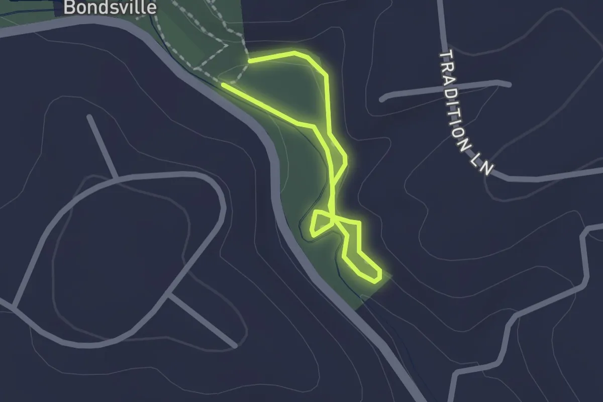
South Loop
1.2 km · ↑ 18 m · 21 min · 5 km away
Medium · Trail
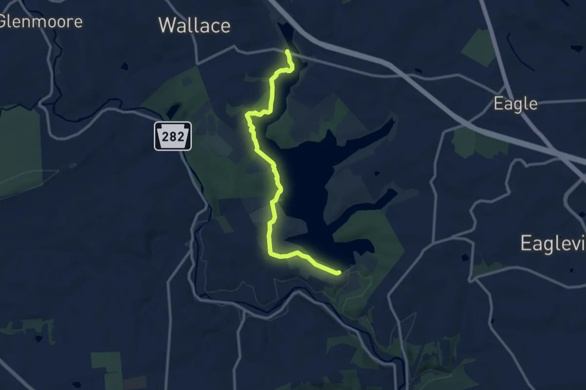
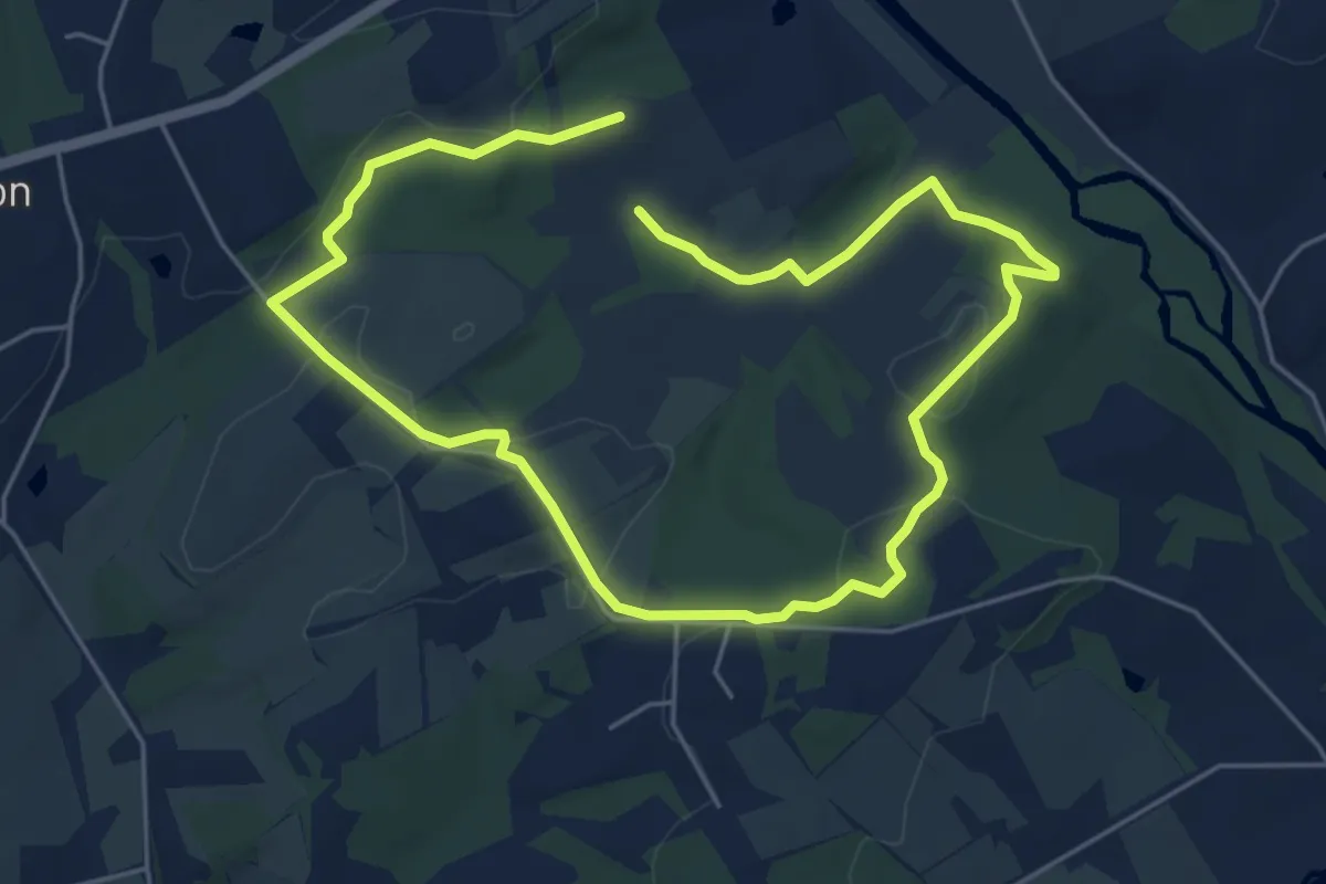
White Trail
10.3 km · ↑ 96 m · 2 h 38 min · 6 km away
Medium · Trail
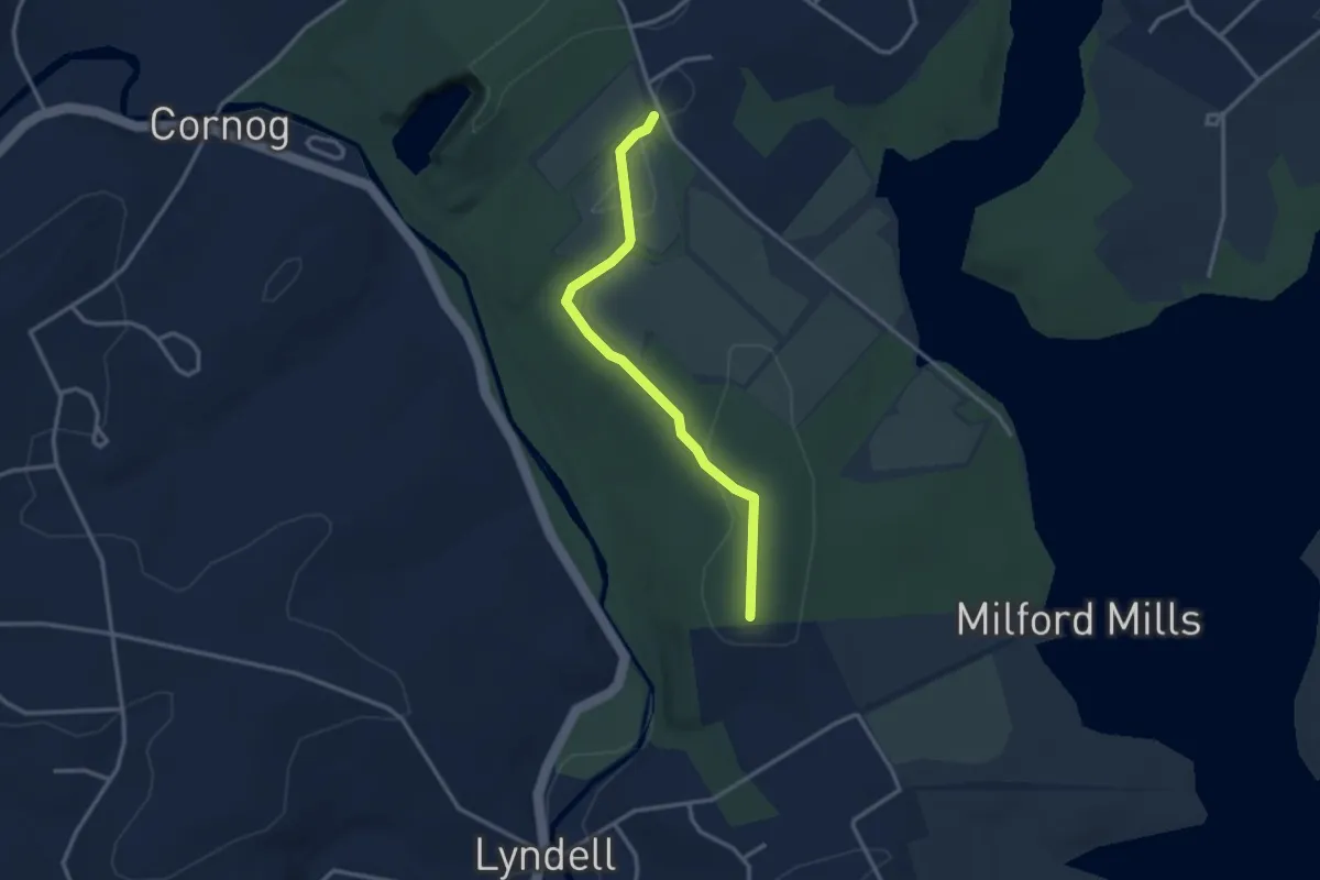
Red Loop
10.2 km · ↑ 164 m · 2 h 46 min · 7 km away
Easy · Trail
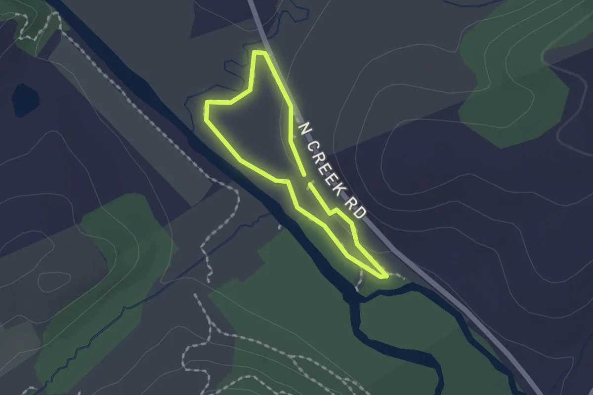
Green Trail
3.3 km · ↑ 66 m · 55 min · 7 km away
Easy · Trail
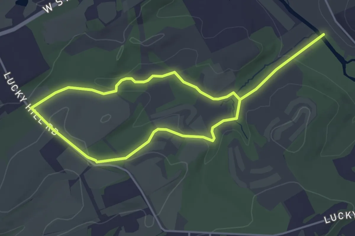
Purple Loop
1.3 km · ↑ 0 m · 19 min · 8 km away
Easy · Trail
Yellow Loop
7.3 km · ↑ 85 m · 1 h 55 min · 8 km away
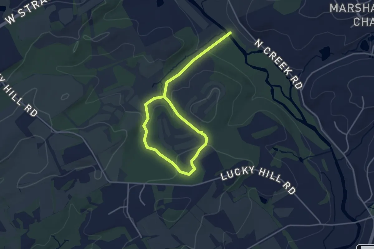
Easy · Trail
Green Loop
5.0 km · ↑ 95 m · 1 h 23 min · 8 km away
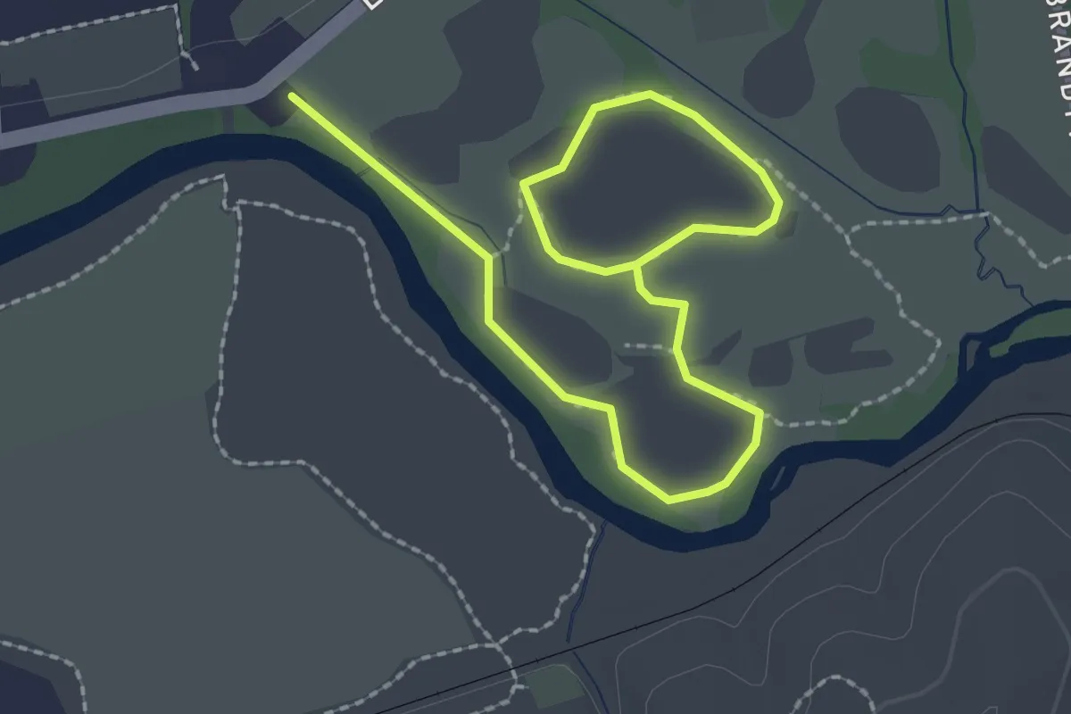
Easy · Trail
Cheslen Preserve - Blue Loop
3.5 km · ↑ 0 m · 49 min · 8 km away
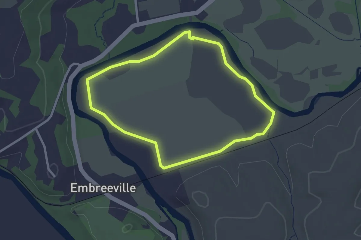
Easy · Trail
Cheslen Preserve - Purple Loop
2.4 km · ↑ 4 m · 36 min · 8 km away
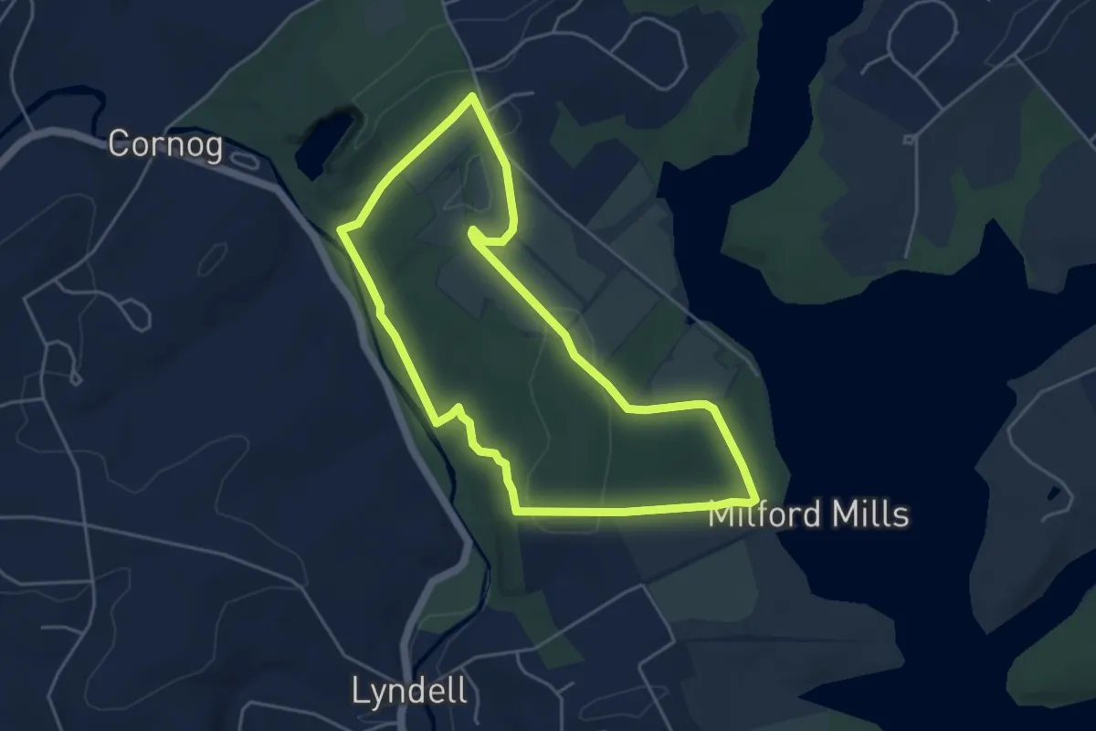
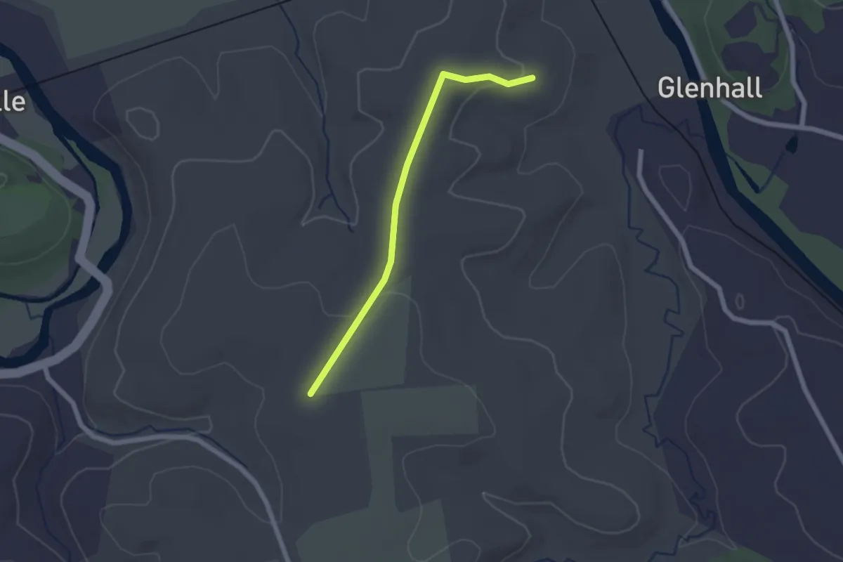
Easy · Trail
Blue Trail
5.0 km · ↑ 88 m · 1 h 26 min · 8 km away
Easy · Trail
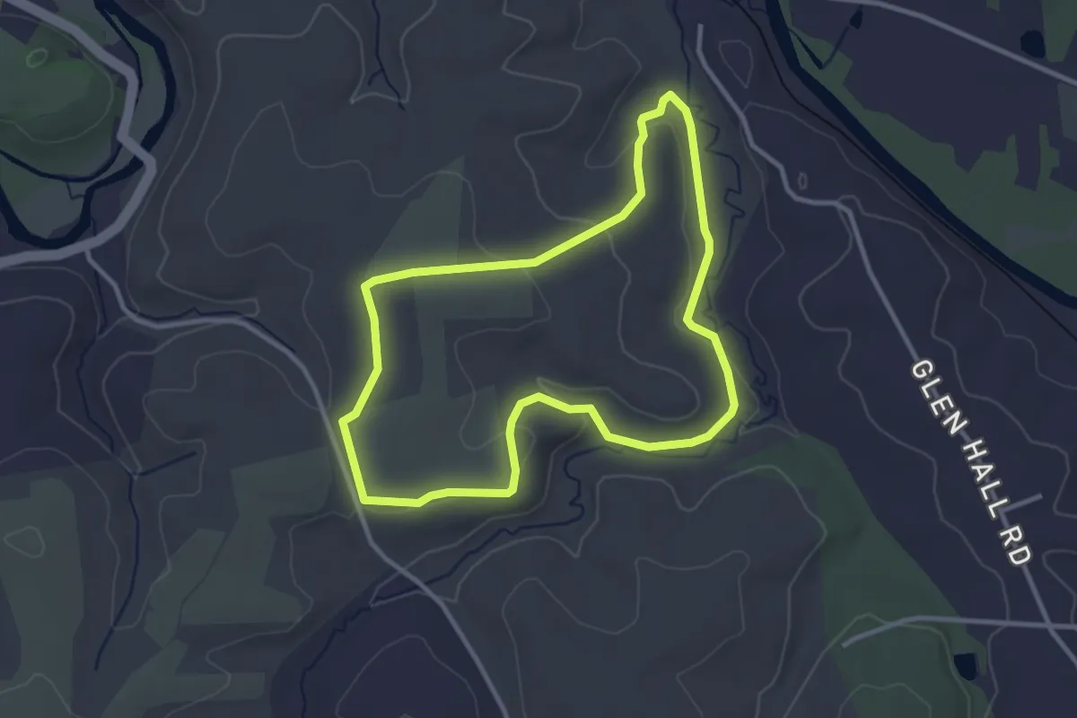
Cheslen Preserve - Green Loop
2.1 km · ↑ 28 m · 33 min · 9 km away
Easy · Trail
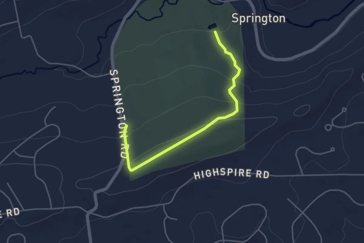
Cheslen Preserve - Yellow Loop
3.4 km · ↑ 61 m · 58 min · 9 km away
Easy · Trail
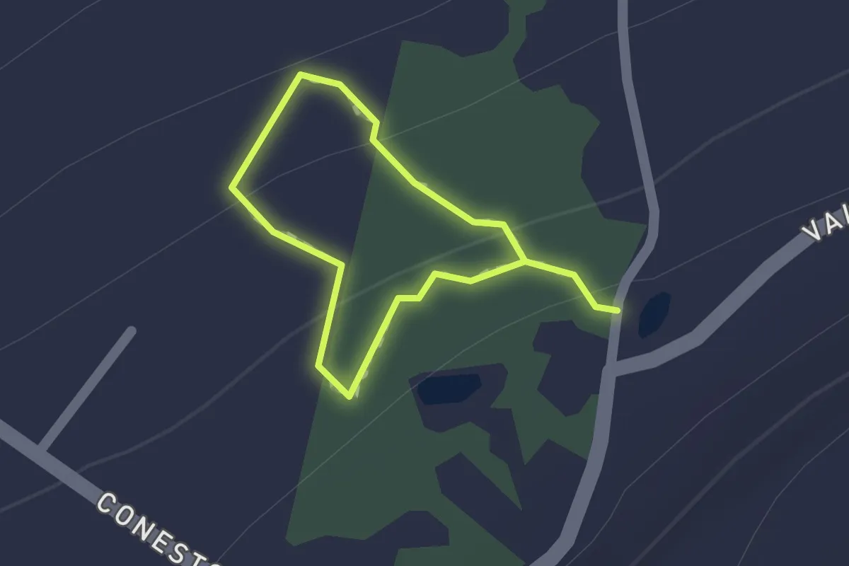
Bartol Trail (Purple)
4.1 km · ↑ 90 m · 1 h 9 min · 10 km away
Easy · Trail
McDevitt Trail
1.0 km · ↑ 20 m · 18 min · 11 km away
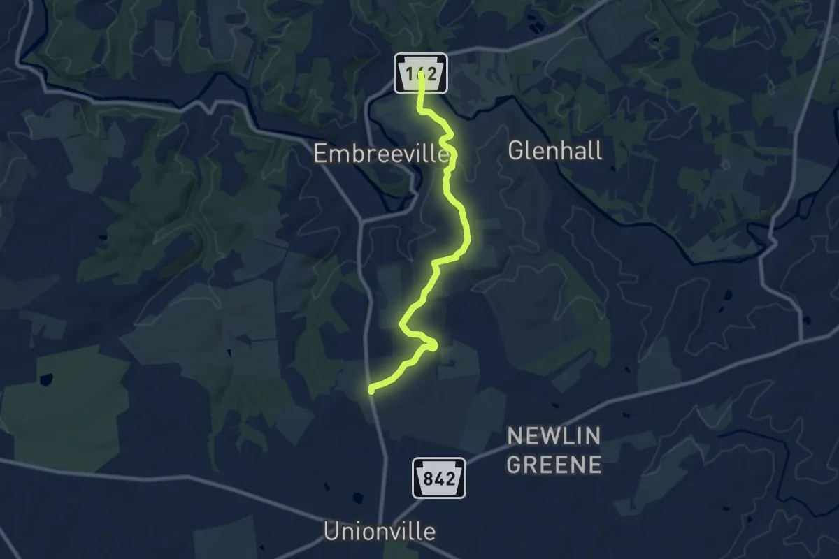
Medium · Trail
Cheslen Preserve - Red Trail
9.3 km · ↑ 161 m · 2 h 32 min · 11 km away
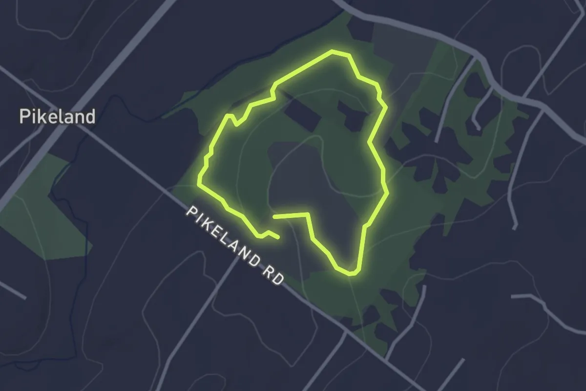
Easy · Trail
red loop
2.3 km · ↑ 50 m · 41 min · 13 km away
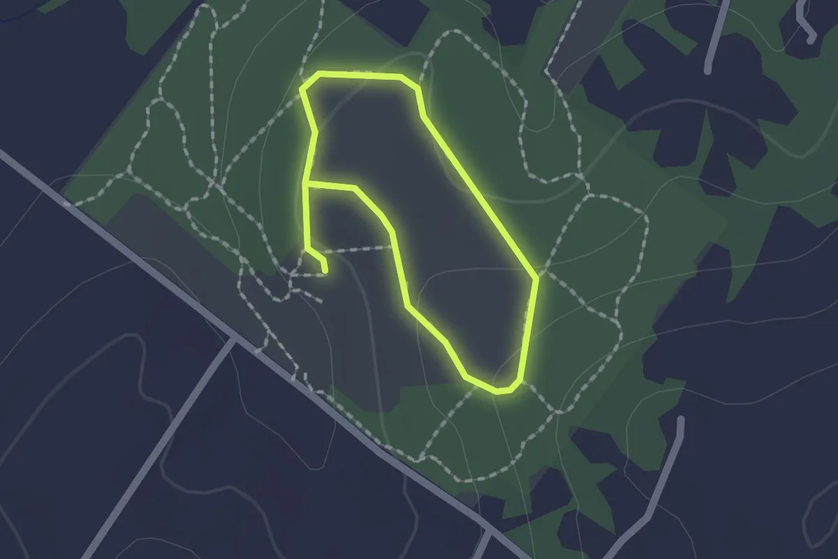
Easy · Trail
yellow loop
1.3 km · ↑ 34 m · 24 min · 13 km away
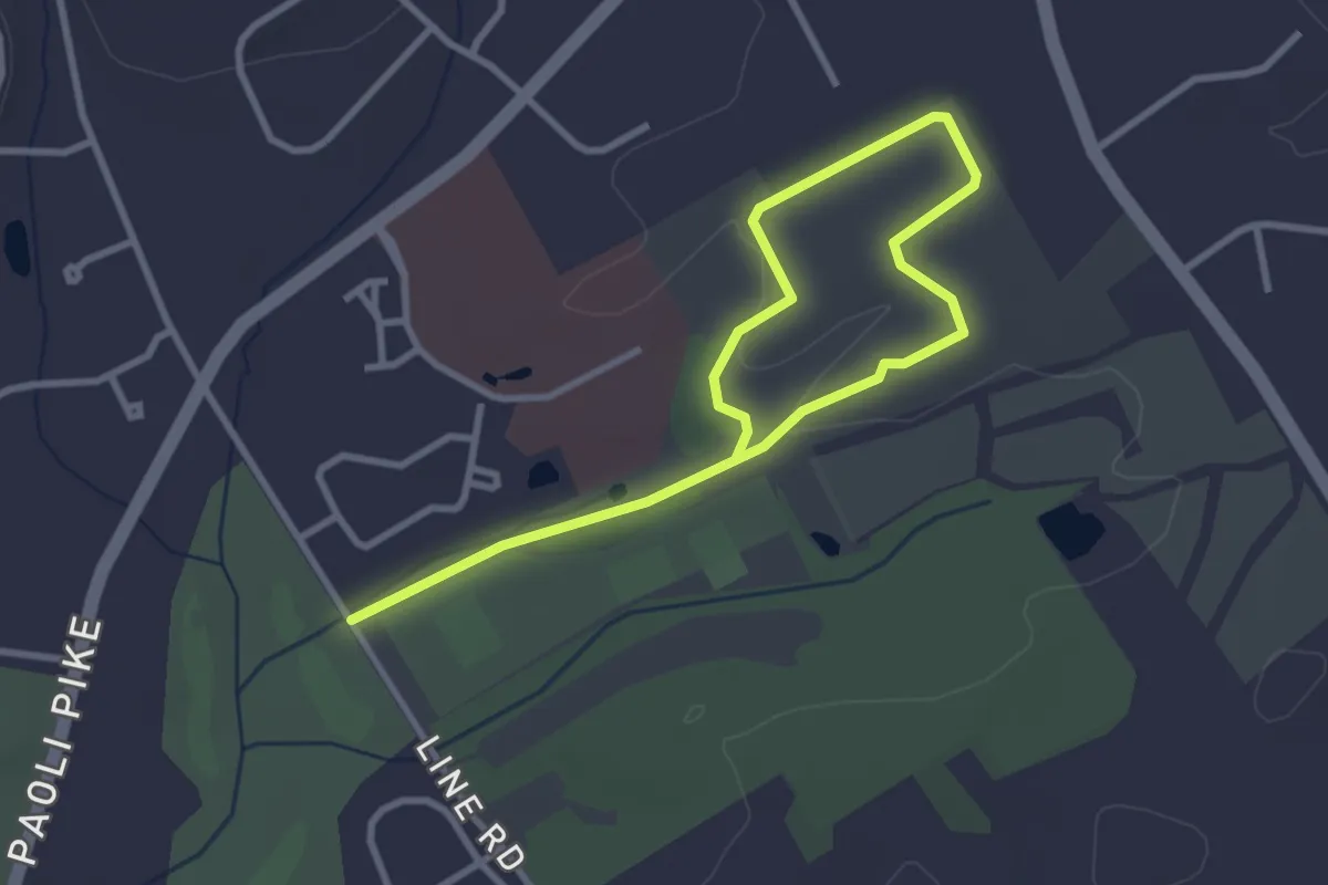
Easy · Trail
Red Trail
4.7 km · ↑ 38 m · 1 h 11 min · 15 km away
Easy · Trail
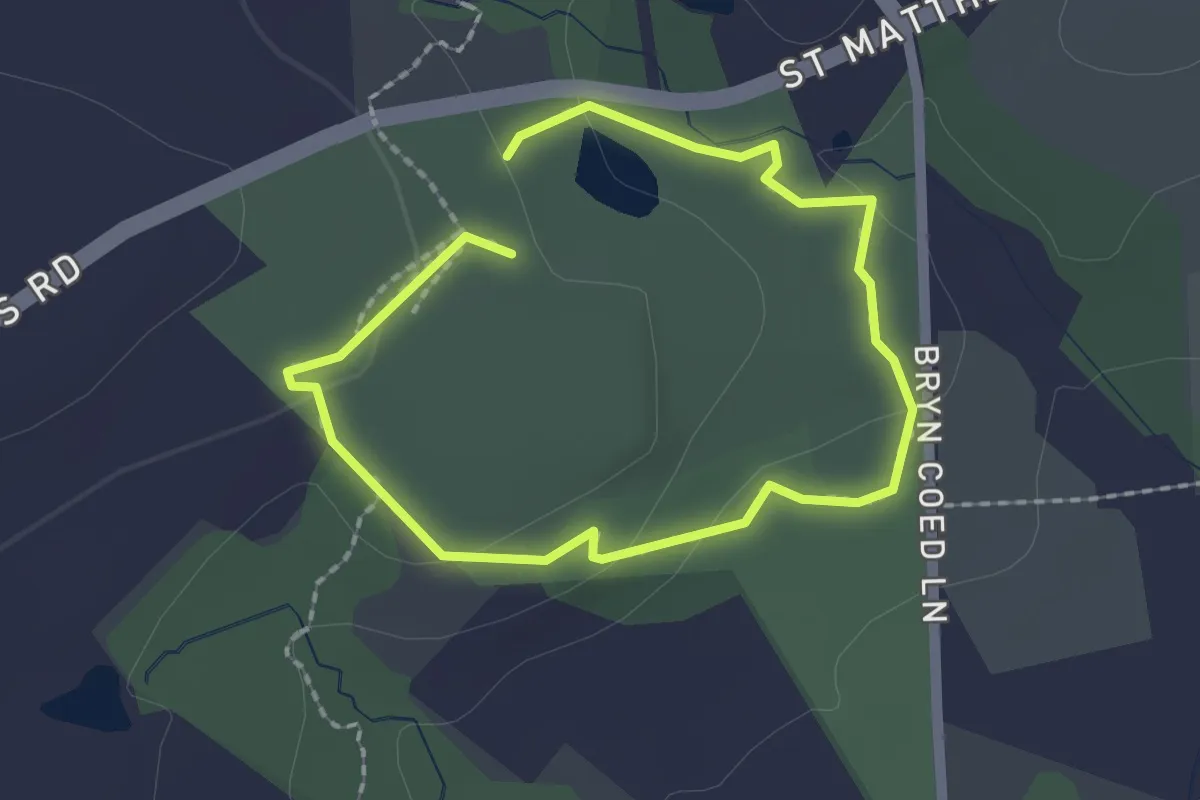
Bike & Hike Trail at Bryn Coed Park
1.7 km · ↑ 40 m · 31 min · 15 km away
Easy · Trail
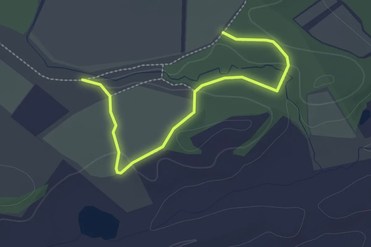
Purple Trail
3.2 km · ↑ 49 m · 51 min · 15 km away