Trails near Ely
22 hikes starting within 15 km, nearest first.
Nearest first
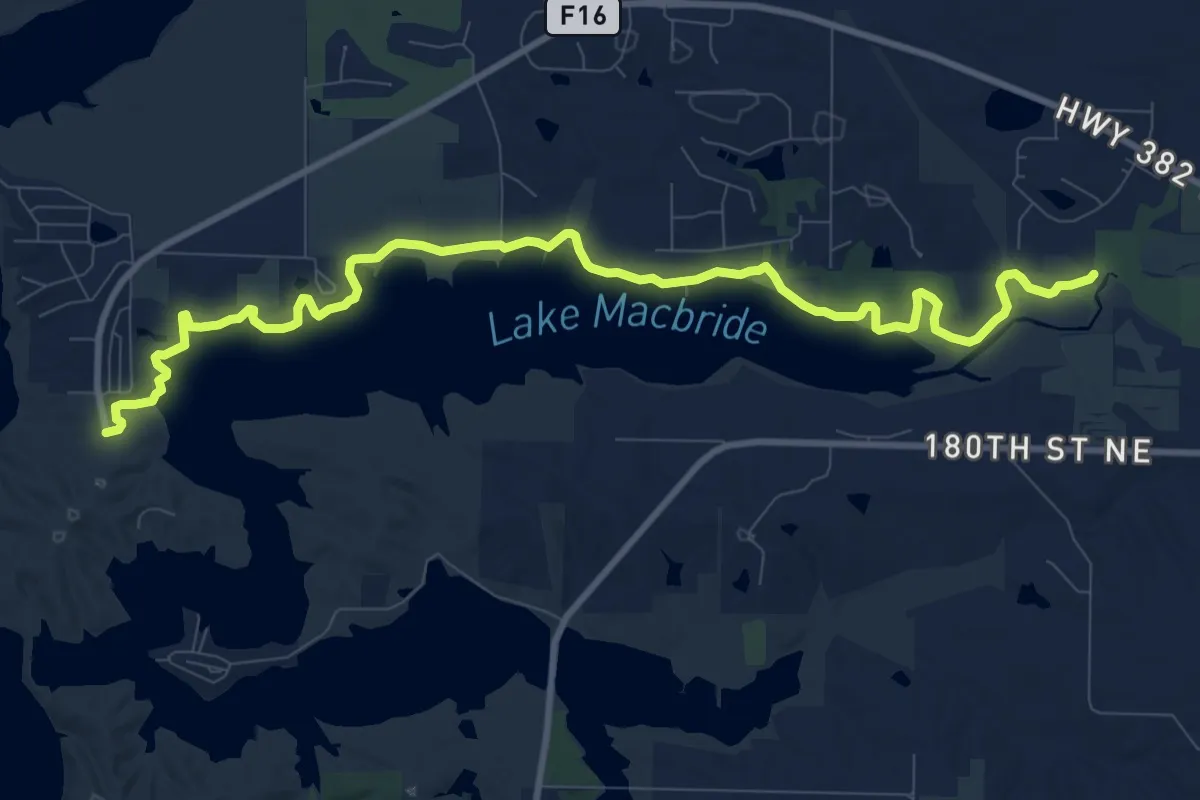
Medium · Trail
North Shore Trail
13.3 km · ↑ 38 m · 3 h 13 min · 8 km away
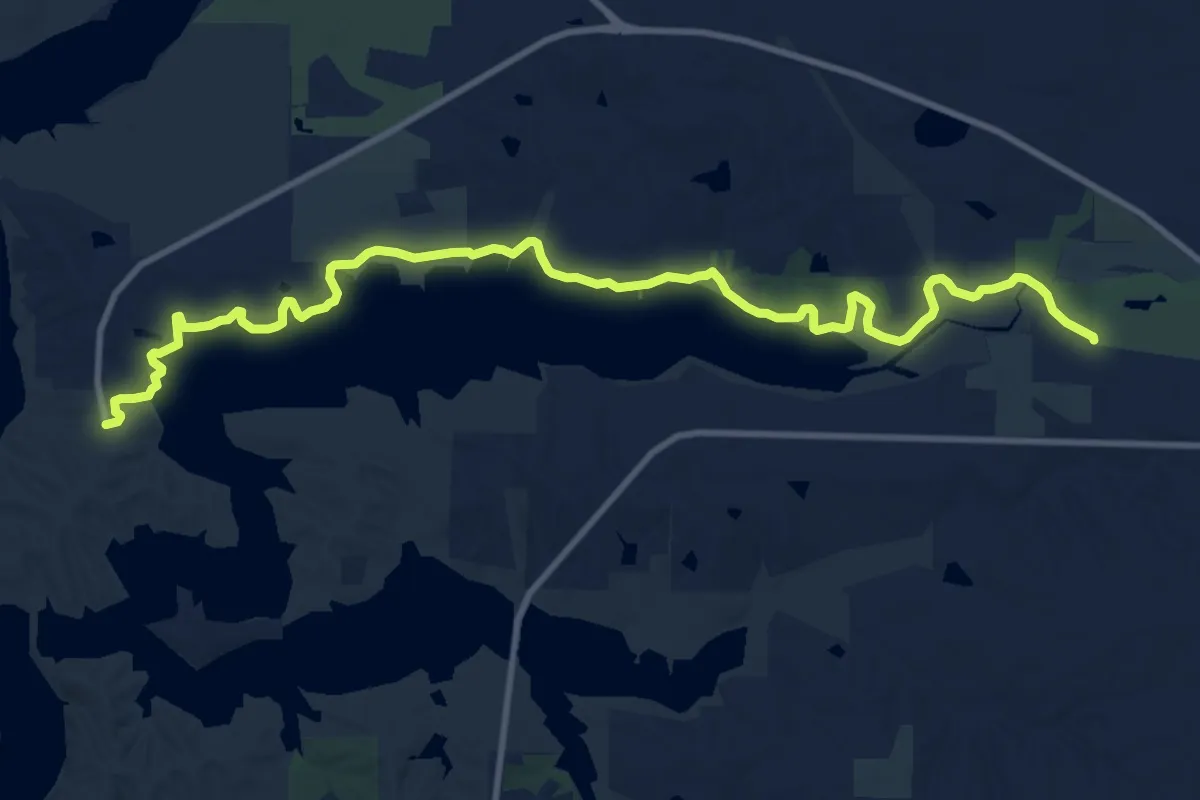
Medium · Trail
Solon Trail
14.4 km · ↑ 42 m · 3 h 29 min · 8 km away
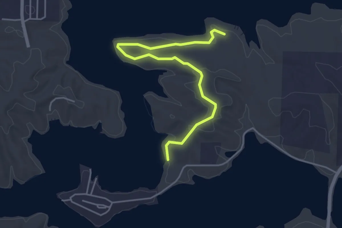
Easy · Trail
White Pine Trail
4.7 km · ↑ 60 m · 1 h 14 min · 8 km away
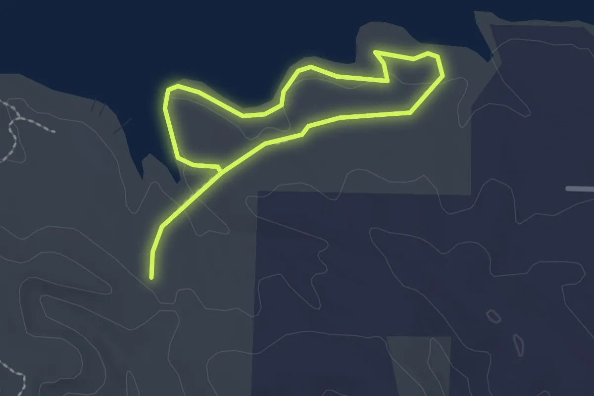
Easy · Trail
Osprey Trail
3.4 km · ↑ 13 m · 51 min · 8 km away
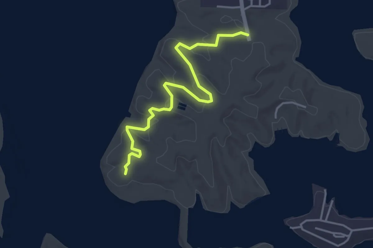
Easy · Trail
North Snowmobile Trail
4.1 km · ↑ 129 m · 1 h 14 min · 8 km away
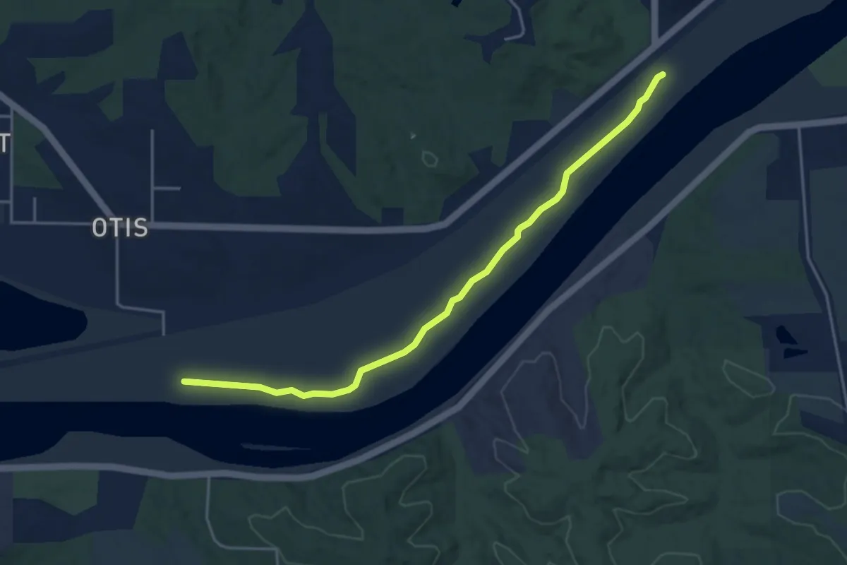
Easy · Trail
Locust Singletrack Trail
4.7 km · ↑ 0 m · 1 h 6 min · 9 km away
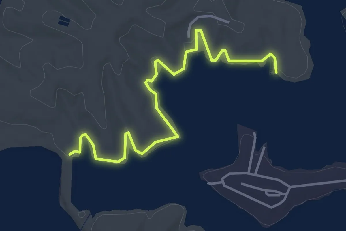
Easy · Trail
Beach to Dam Trail
4.1 km · ↑ 10 m · 1 h · 9 km away
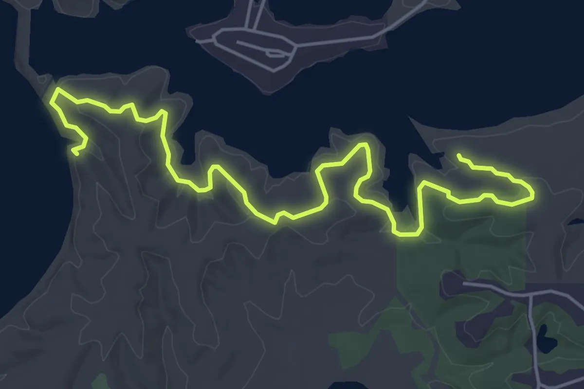
Easy · Trail
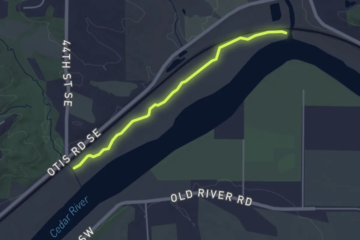
Field Campus Trail
6.9 km · ↑ 120 m · 1 h 53 min · 9 km away
Easy · Trail
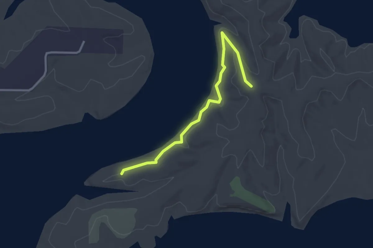
Ash Singletrack Trail
3.7 km · ↑ 0 m · 52 min · 9 km away
Easy · Trail
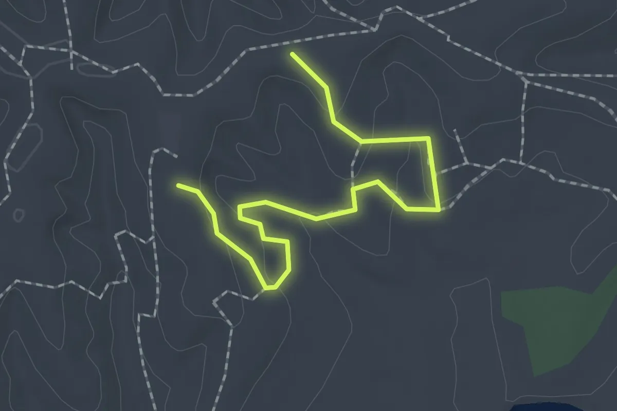
Eagle Lakeshore Trail
2.8 km · ↑ 40 m · 45 min · 10 km away
Easy · Trail
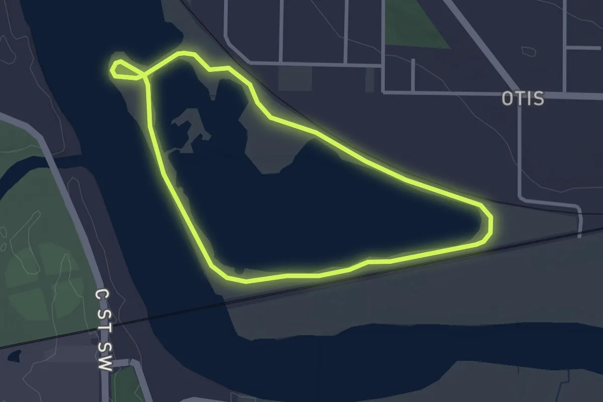
Barred Owl Hollow Trail
2.2 km · ↑ 70 m · 41 min · 10 km away
Easy · Trail
Prairie Park Fishery Trail
2.9 km · ↑ 0 m · 43 min · 10 km away
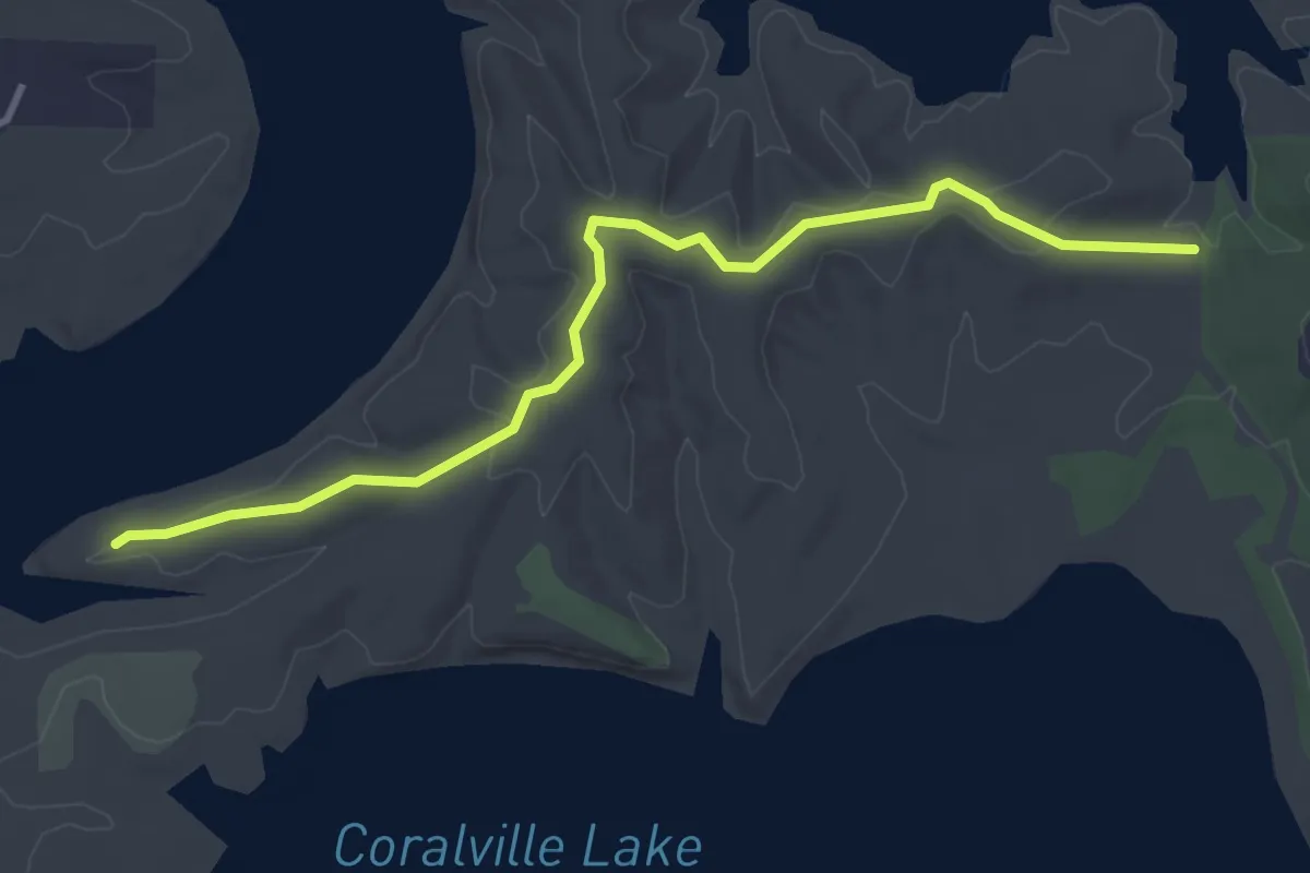
Easy · Trail
Raptor Ridge Trail
4.1 km · ↑ 56 m · 1 h 6 min · 10 km away
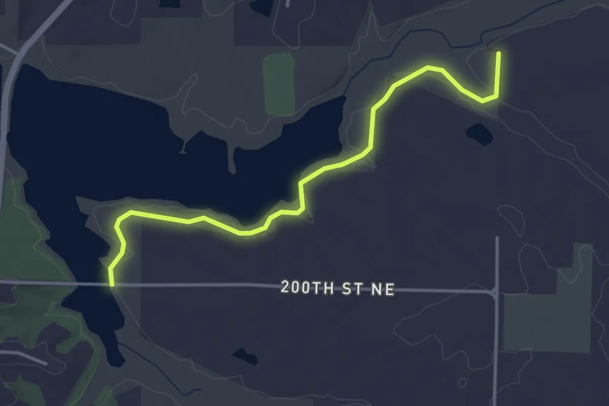
Easy · Trail
South Snowmobile Trail
4.1 km · ↑ 29 m · 1 h 2 min · 10 km away
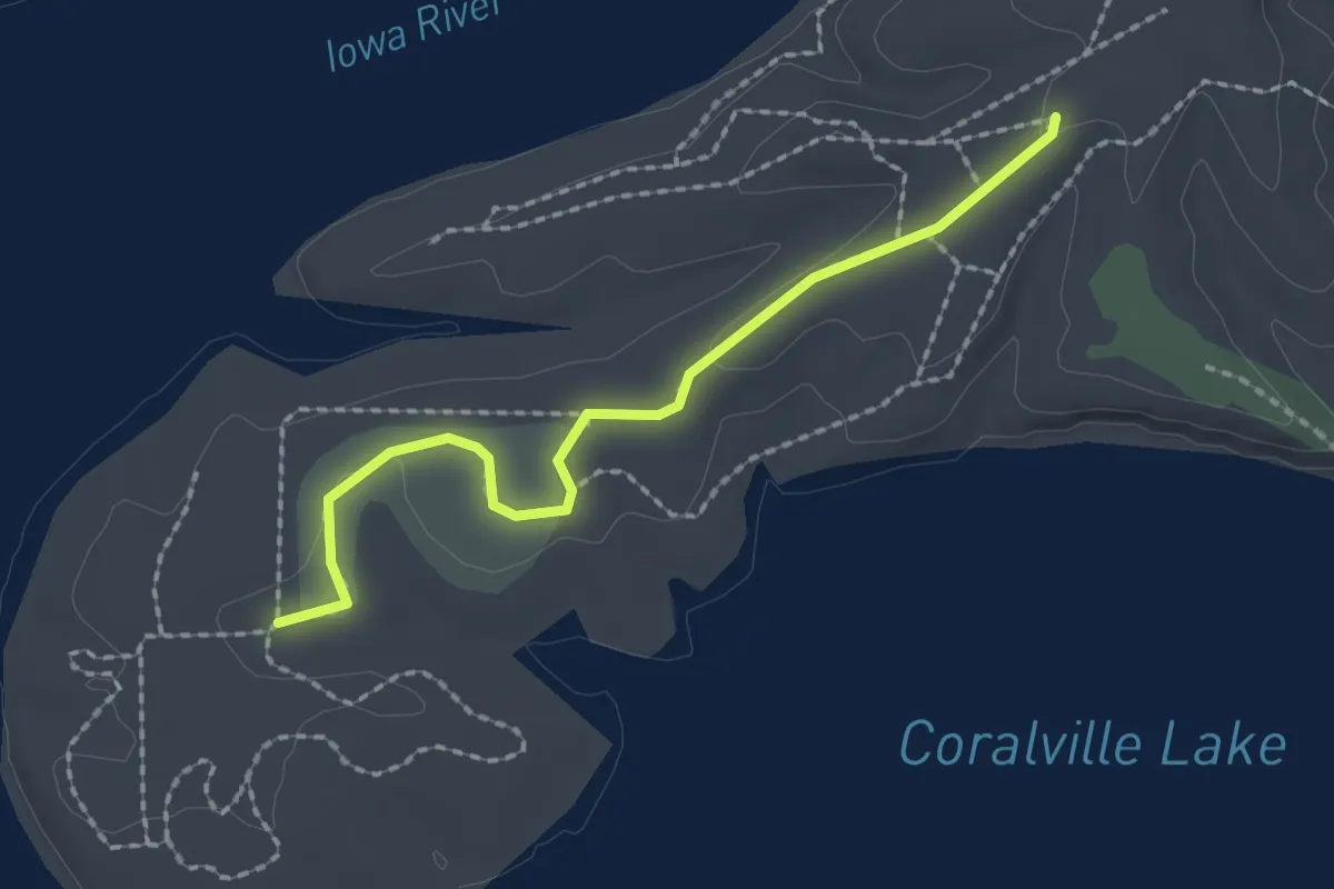
Easy · Trail
Osprey Hack Tower Trail
2.2 km · ↑ 18 m · 33 min · 10 km away
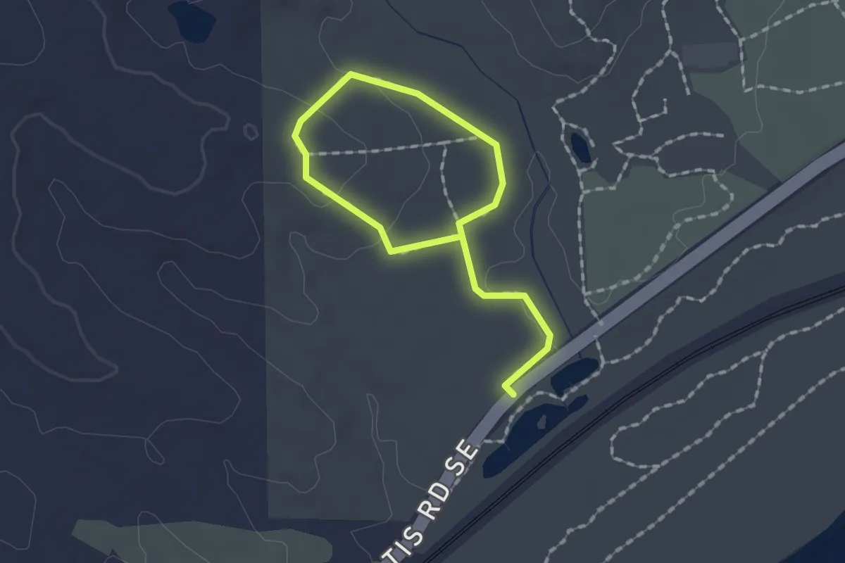
Easy · Trail
Bena Trail
2.1 km · ↑ 41 m · 35 min · 10 km away
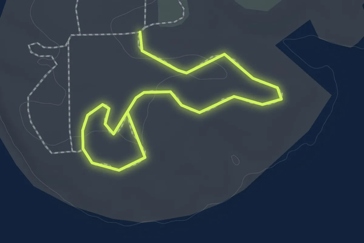
Easy · Trail
Screech Owl Trail
1.0 km · ↑ 0 m · 15 min · 10 km away
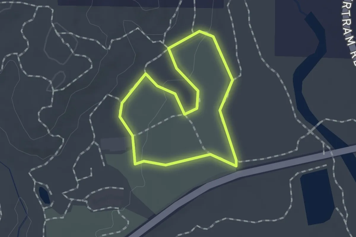
Easy · Trail
Blue Bird Trail
1.2 km · ↑ 13 m · 20 min · 11 km away
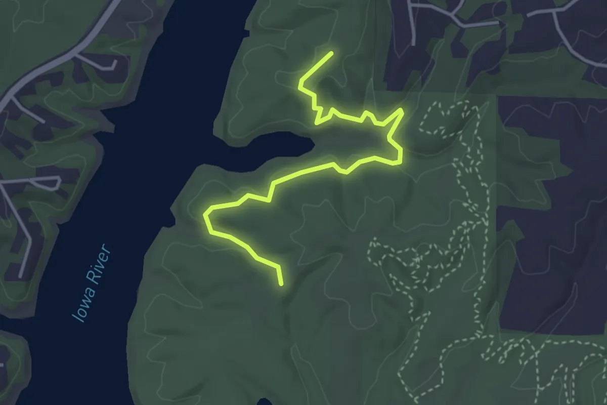
Easy · Trail
Cedar Valley Trail
4.1 km · ↑ 68 m · 1 h 6 min · 12 km away
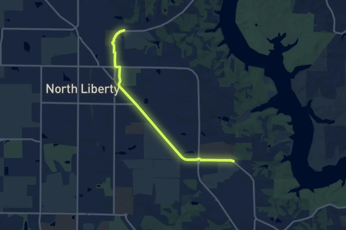
Medium · Trail
Iowa River Trail - Through North Liberty
9.5 km · ↑ 21 m · 2 h 17 min · 13 km away
Easy · Trail
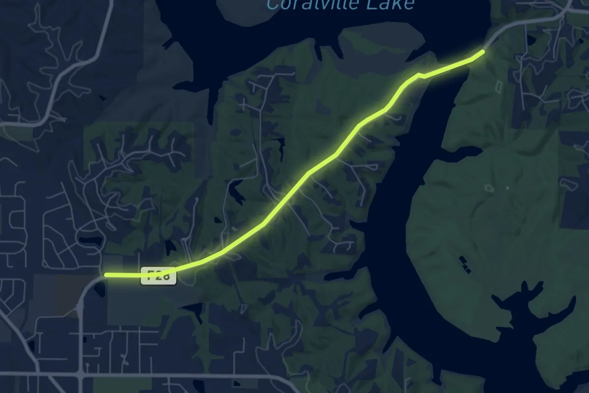
Iowa River Trail - North Liberty to Mehaffey Bridge
7.4 km · ↑ 74 m · 1 h 55 min · 13 km away
Demanding · Trail
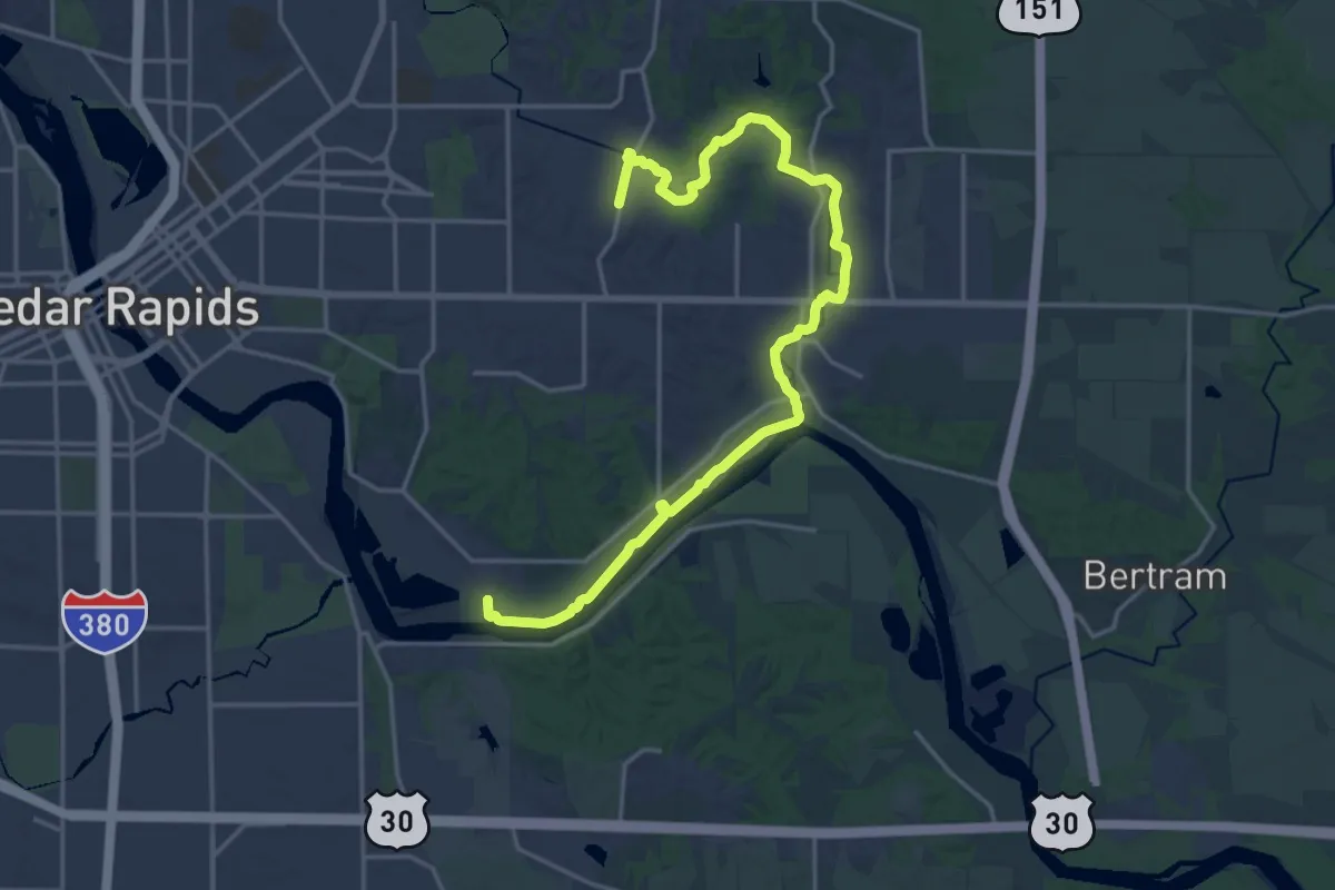
Sac & Fox Trail
24.2 km · ↑ 31 m · 5 h 47 min · 13 km away