Trails near Fletcher
25 hikes starting within 15 km, nearest first.
Nearest first
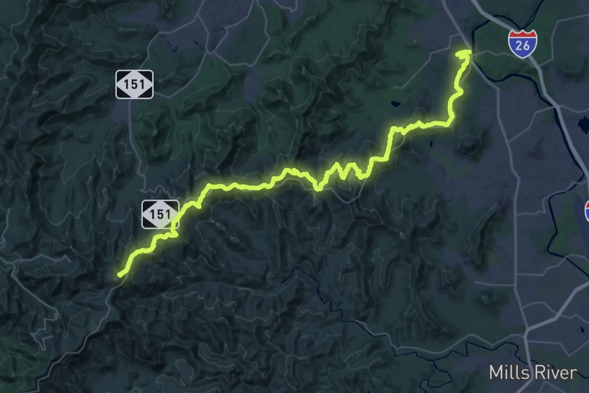
Demanding · Summit
Shut-in Trail
50.9 km · ↑ 2288 m · 16 h 59 min · 11 km away
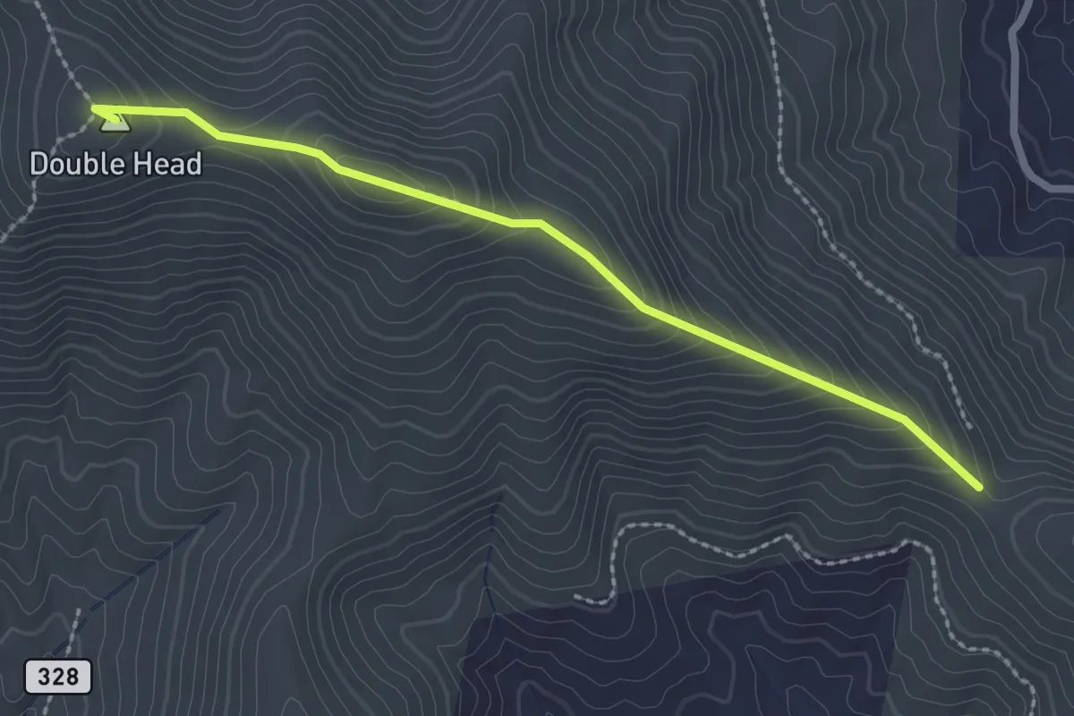
Easy · Summit
Double Head Trail
2.8 km · ↑ 247 m · 1 h 12 min · 12 km away
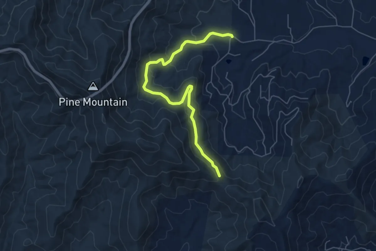
Easy · Trail
Avery Creek
6.8 km · ↑ 289 m · 2 h 13 min · 12 km away
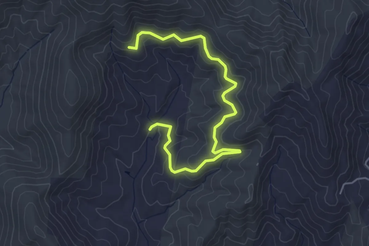
Easy · Trail
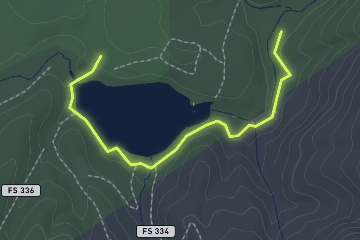
Seniard Creek Trail
5.6 km · ↑ 151 m · 1 h 39 min · 12 km away
Easy · Trail
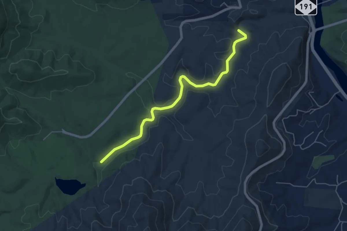
Homestead Trail
2.3 km · ↑ 31 m · 36 min · 12 km away
Easy · Trail
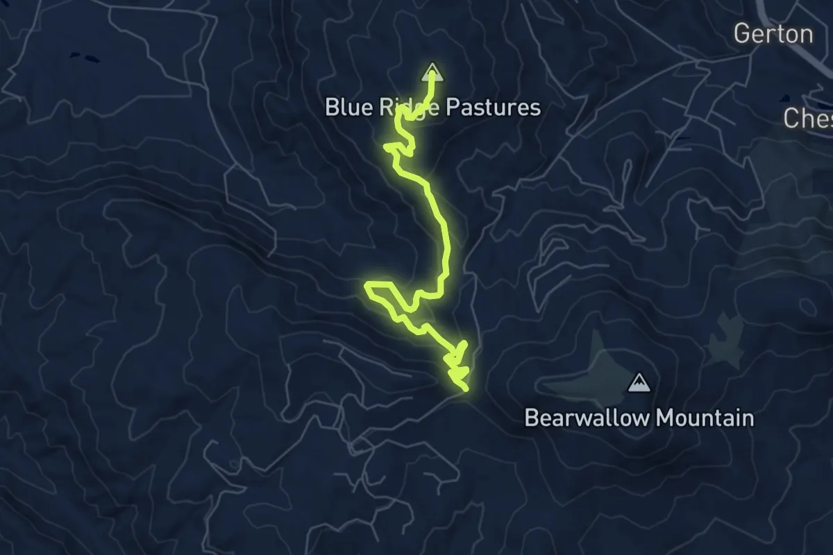
Bent Creek Trail
6.0 km · ↑ 28 m · 1 h 29 min · 12 km away
Medium · Summit
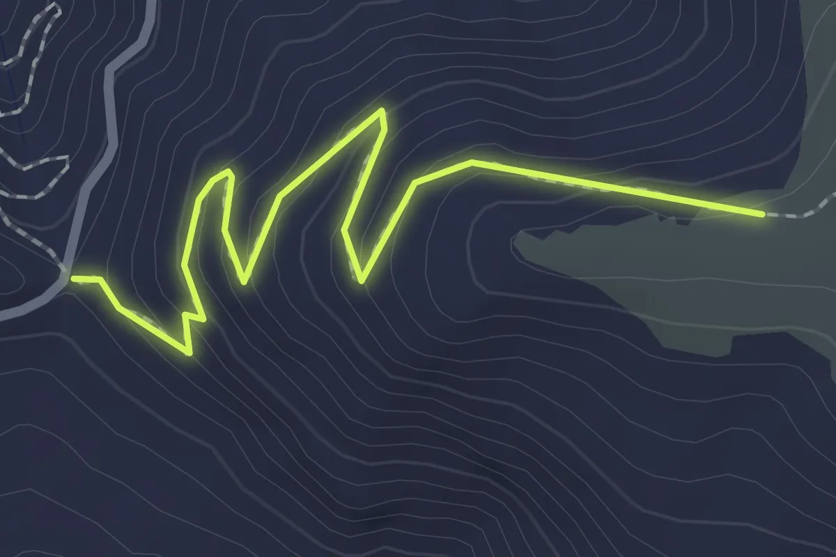
Trombatore Trail
7.9 km · ↑ 397 m · 2 h 44 min · 13 km away
Easy · Trail
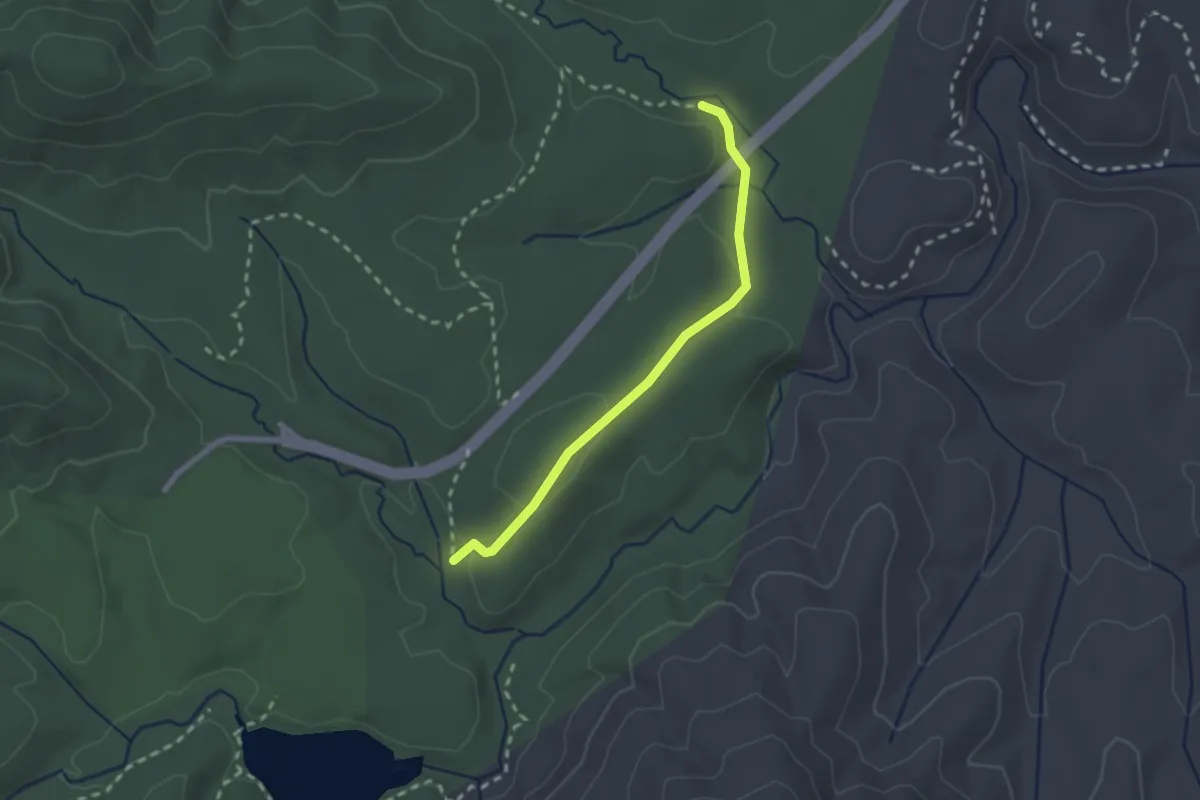
Bearwallow Mountain Trail
2.7 km · ↑ 149 m · 57 min · 13 km away
Easy · Trail
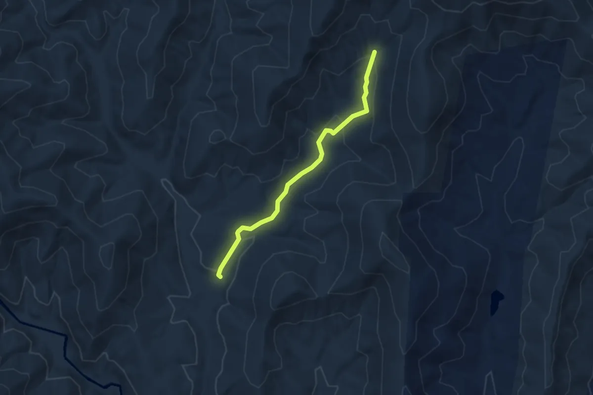
Hardtimes Connector Trail
2.5 km · ↑ 65 m · 44 min · 13 km away
Easy · Trail
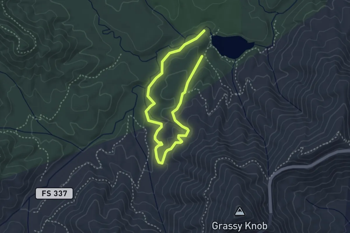
Bear Branch
3.8 km · ↑ 115 m · 1 h 8 min · 13 km away
Easy · Trail
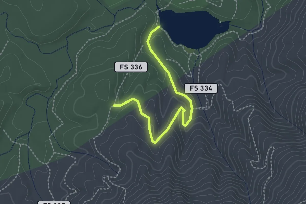
Pine Tree Loop
5.6 km · ↑ 156 m · 1 h 40 min · 13 km away
Easy · Trail
Deerfield Loop Trail
2.7 km · ↑ 76 m · 48 min · 13 km away
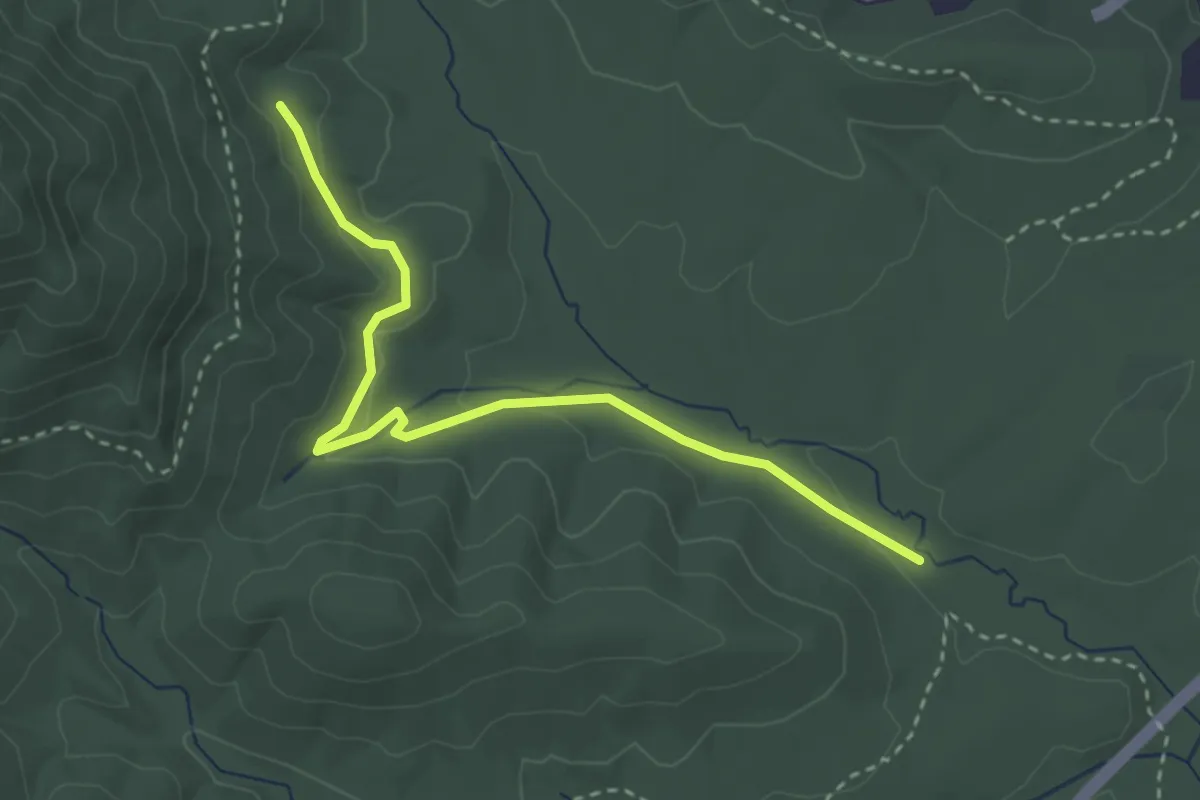
Easy · Trail
Wolf Branch Trail
3.8 km · ↑ 76 m · 1 h 3 min · 13 km away
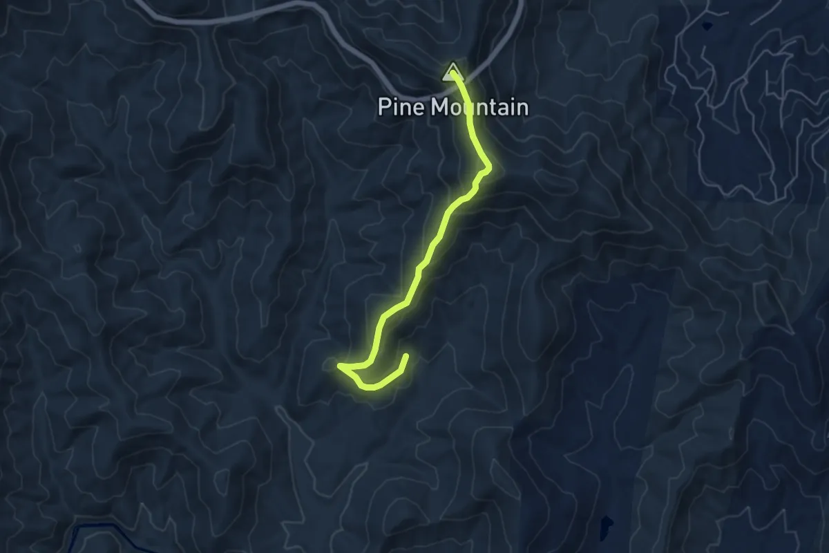
Medium · Summit
Brushy Ridge Trail
5.7 km · ↑ 391 m · 2 h 11 min · 13 km away
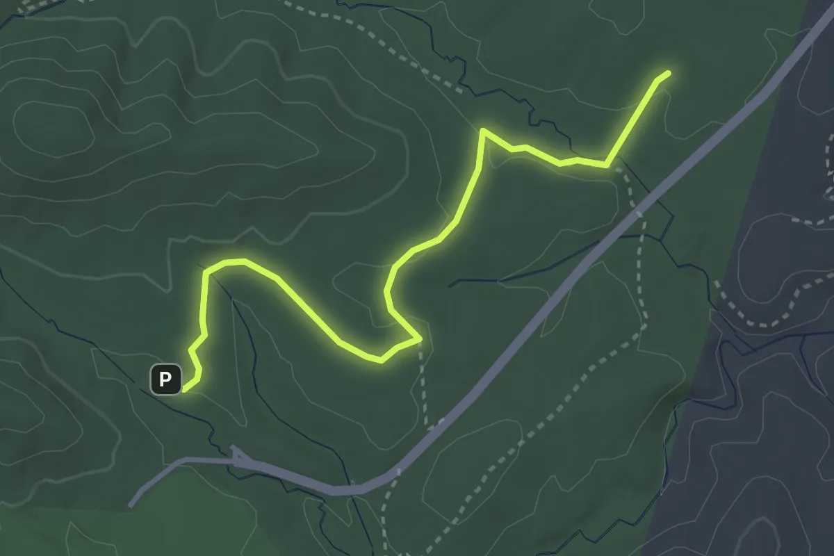
Easy · Trail
Deer Lake Lodge Trail
4.1 km · ↑ 83 m · 1 h 9 min · 13 km away
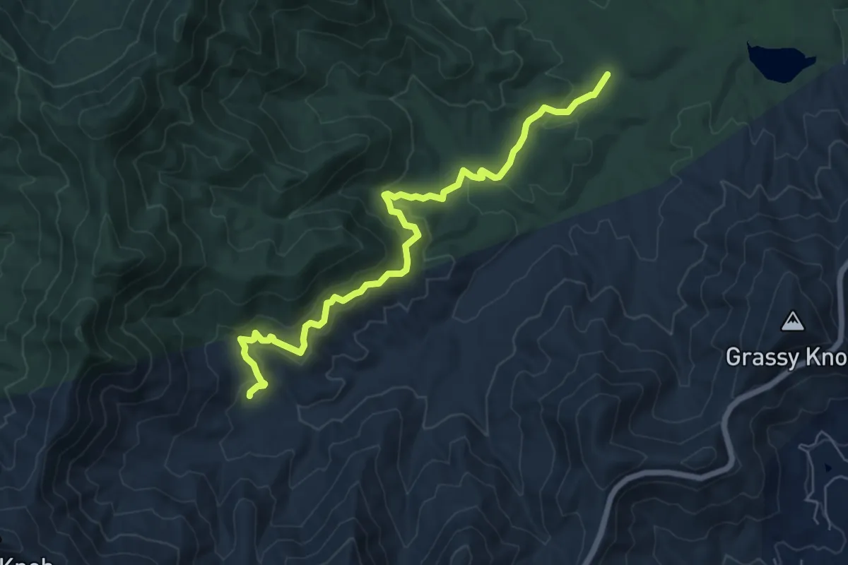
Easy · Trail
Lower Sidehill Trail
7.9 km · ↑ 264 m · 2 h 26 min · 13 km away
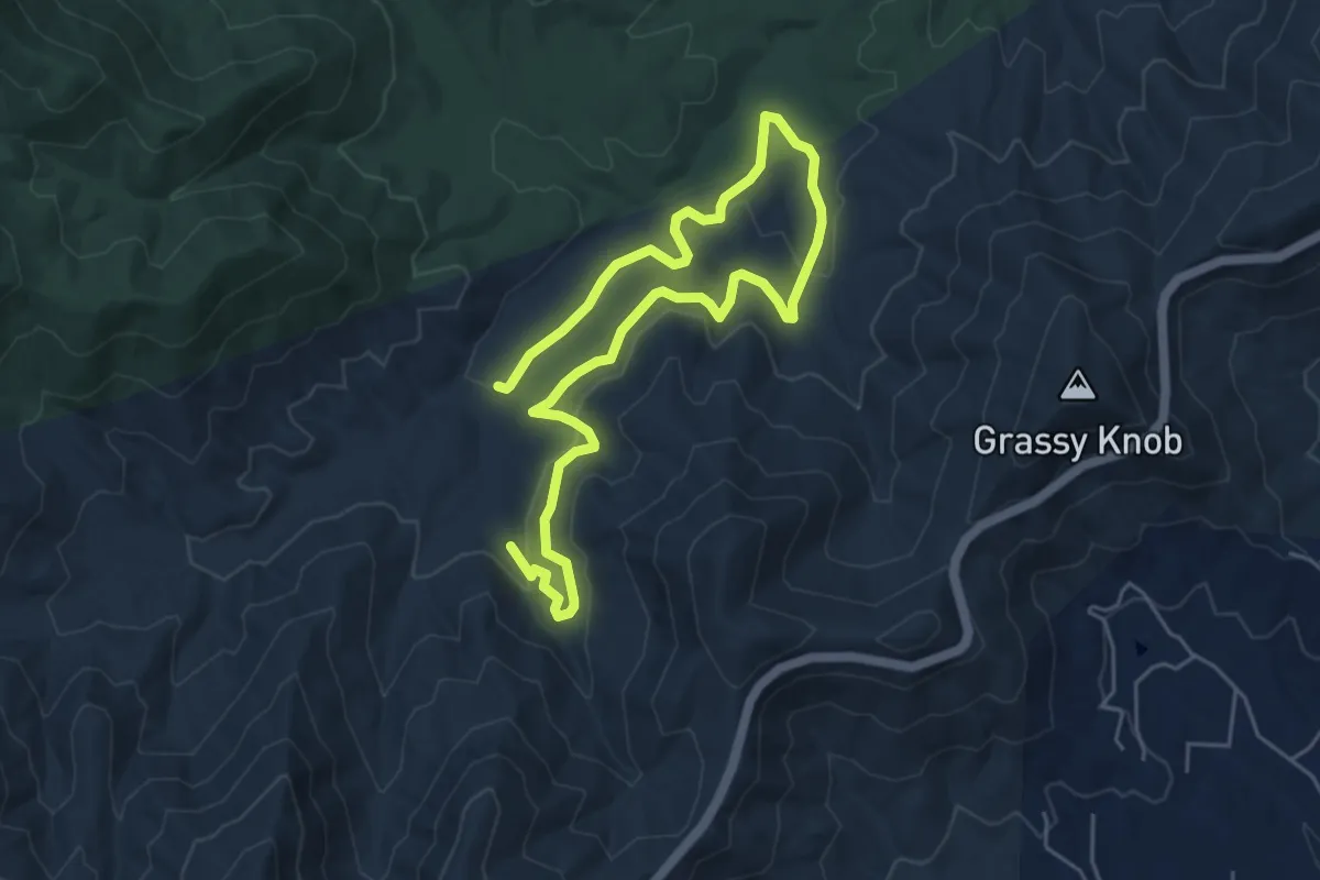
Medium · Trail
Explorer Loop
8.9 km · ↑ 210 m · 2 h 34 min · 14 km away
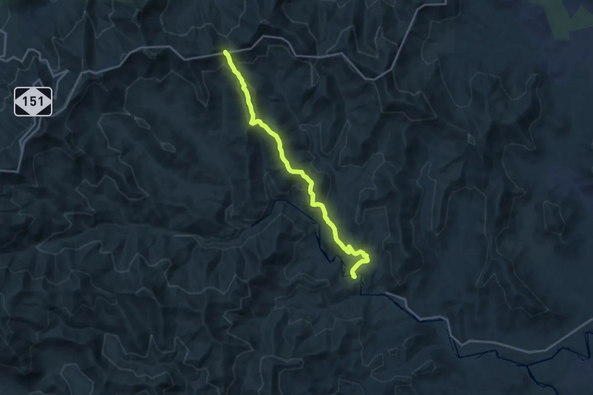
Medium · Trail
354 Trace Ridge
14.1 km · ↑ 535 m · 4 h 29 min · 14 km away
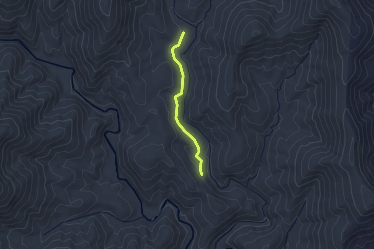
Easy · Trail
606 Wash Creek
2.5 km · ↑ 25 m · 38 min · 14 km away
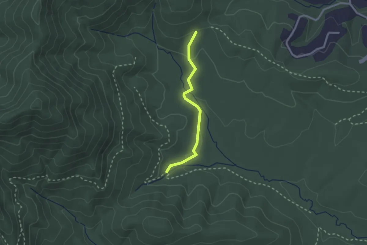
Easy · Trail
Ledford Trail
2.2 km · ↑ 55 m · 38 min · 14 km away
Easy · Trail
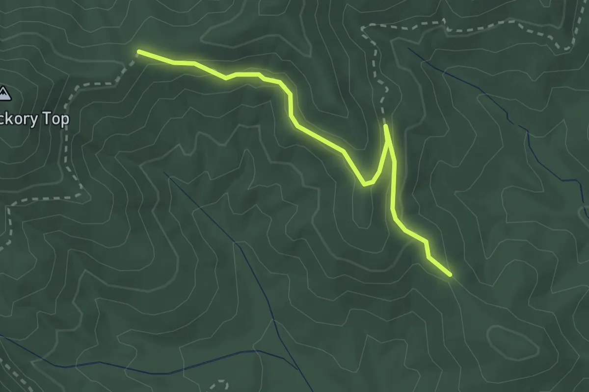
Ingles Field Connector
2.9 km · ↑ 108 m · 55 min · 14 km away
Medium · Summit
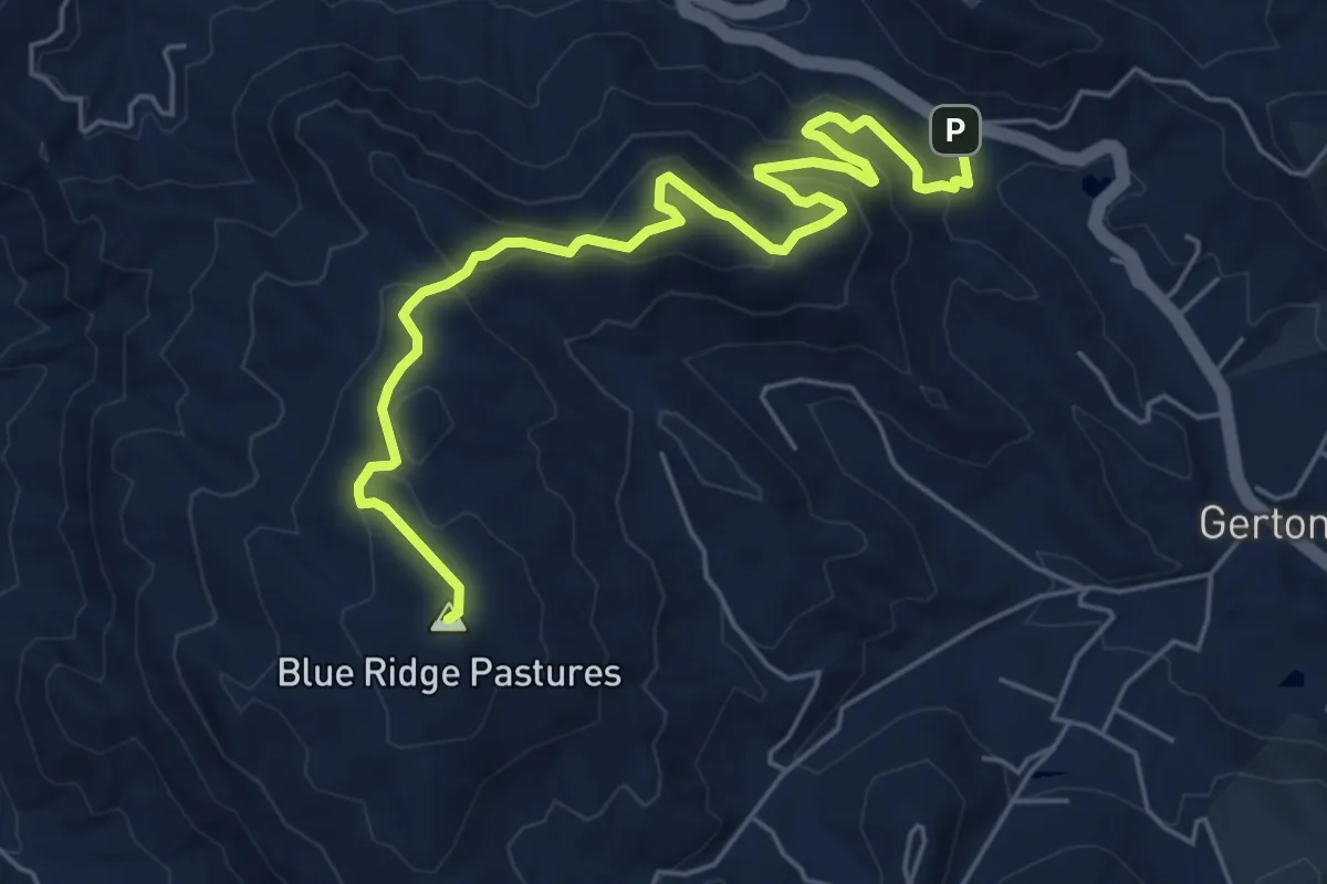
Strawberry Gap Trail
7.8 km · ↑ 383 m · 2 h 40 min · 15 km away
Easy · Trail
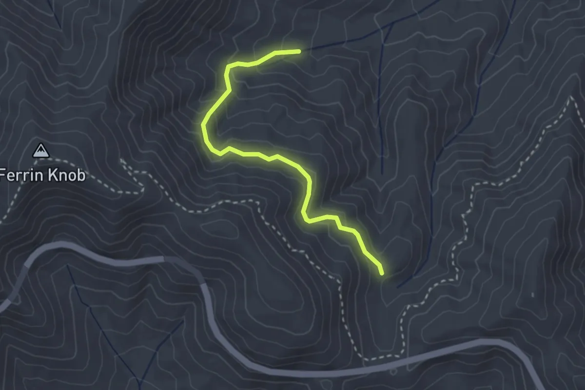
Bent Creek Trail
3.2 km · ↑ 226 m · 1 h 15 min · 15 km away
Easy · Trail
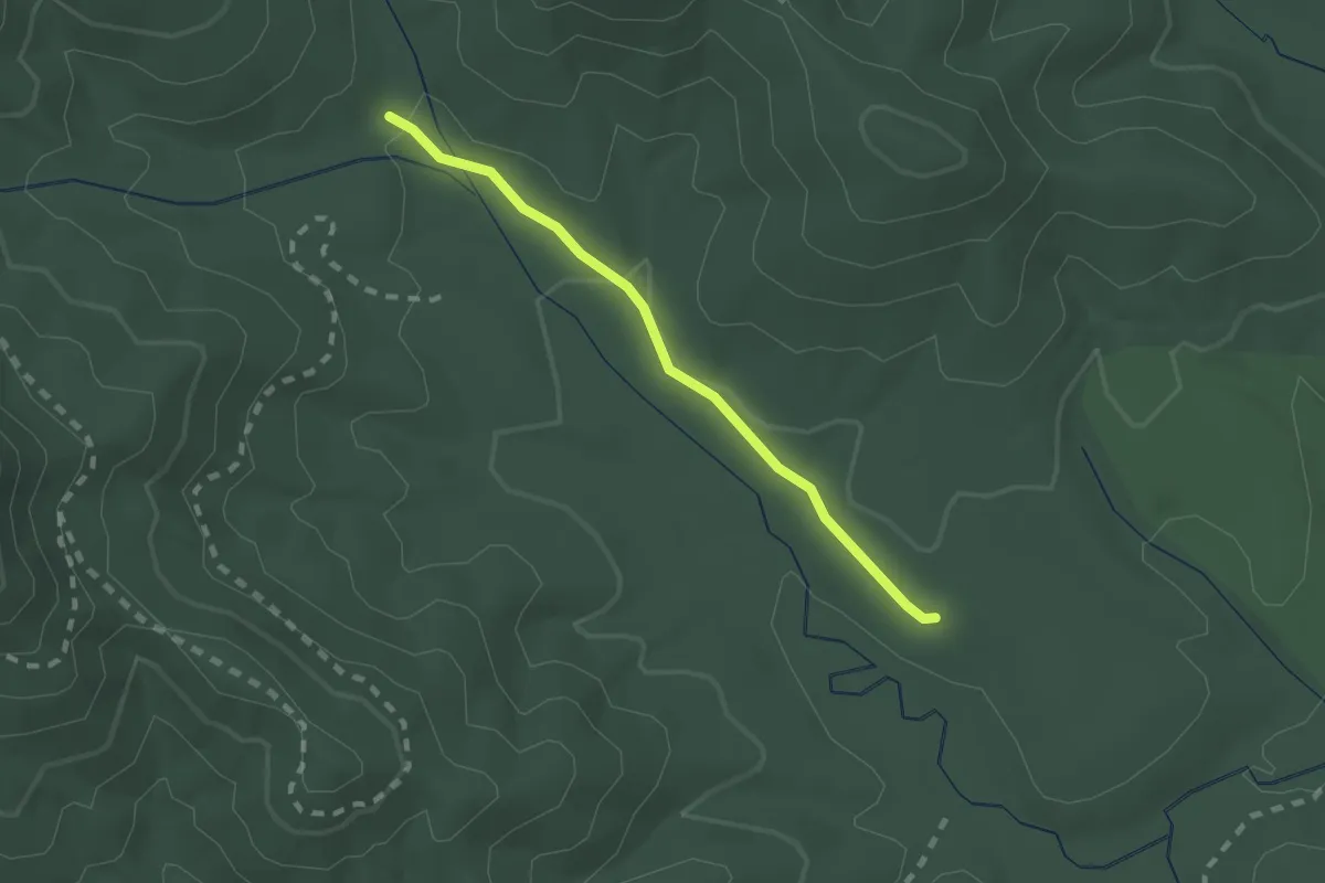
Boyd Branch Trail
2.1 km · ↑ 30 m · 33 min · 15 km away
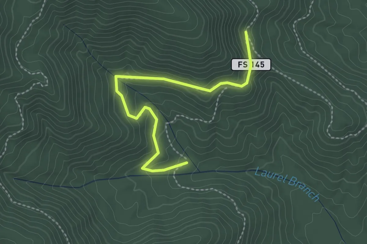
Easy · Trail
Sidehill Trail
2.8 km · ↑ 112 m · 55 min · 15 km away