Trails near Glastonbury
21 hikes starting within 15 km, nearest first.
Nearest first
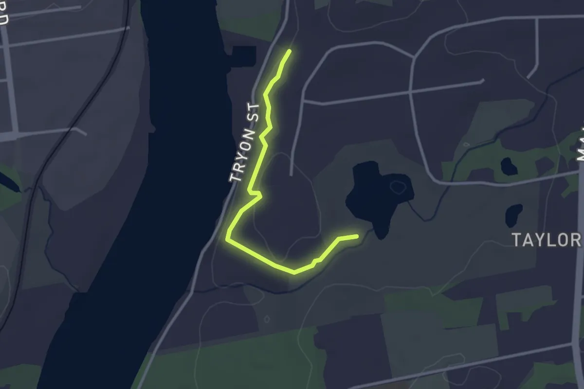
Easy · Trail
Dana's Rim Walk
2.9 km · ↑ 102 m · 54 min · 8 km away
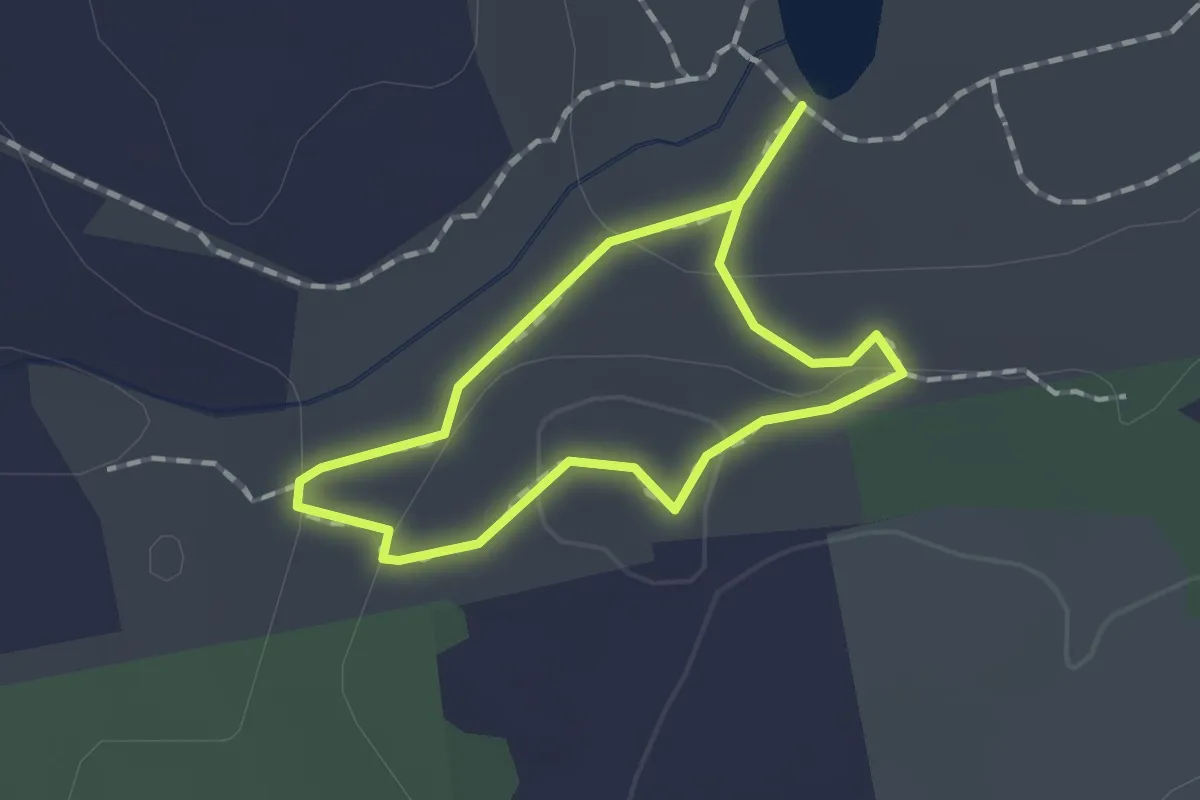
Easy · Trail
Bob Kaye Loop
1.2 km · ↑ 44 m · 23 min · 8 km away
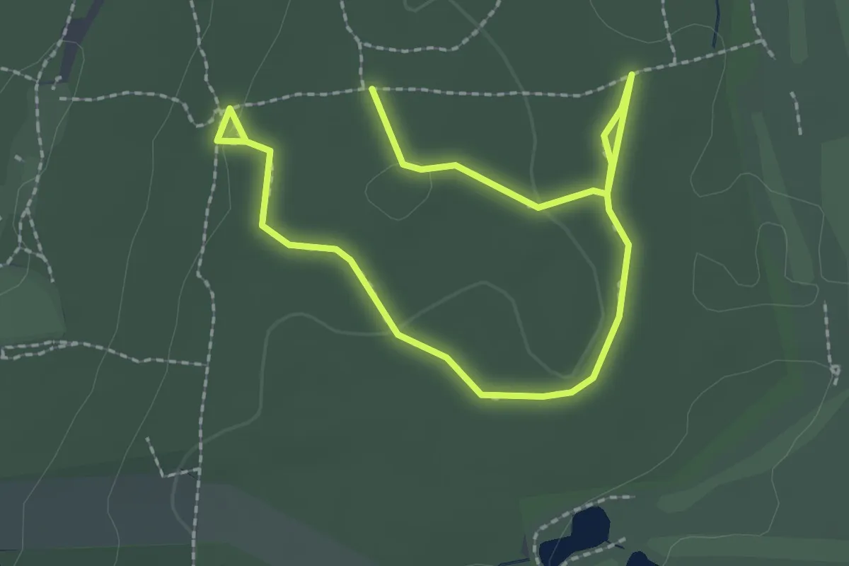
Easy · Trail
Black Trail
3.6 km · ↑ 30 m · 54 min · 8 km away
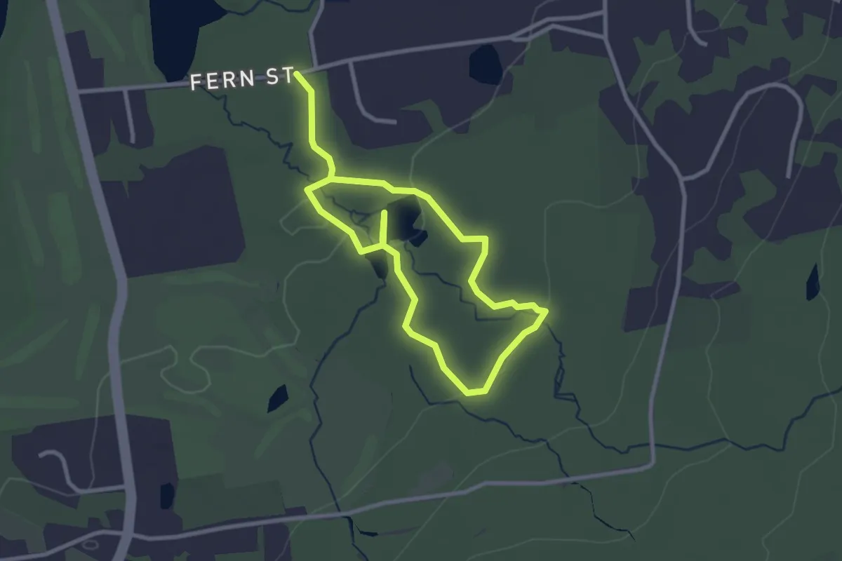
Easy · Trail
Blue Trail
4.8 km · ↑ 58 m · 1 h 16 min · 9 km away
Easy · Trail
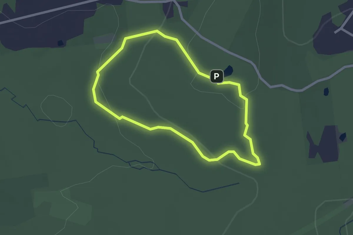
Yellow Trail
2.1 km · ↑ 45 m · 38 min · 9 km away
Easy · Summit
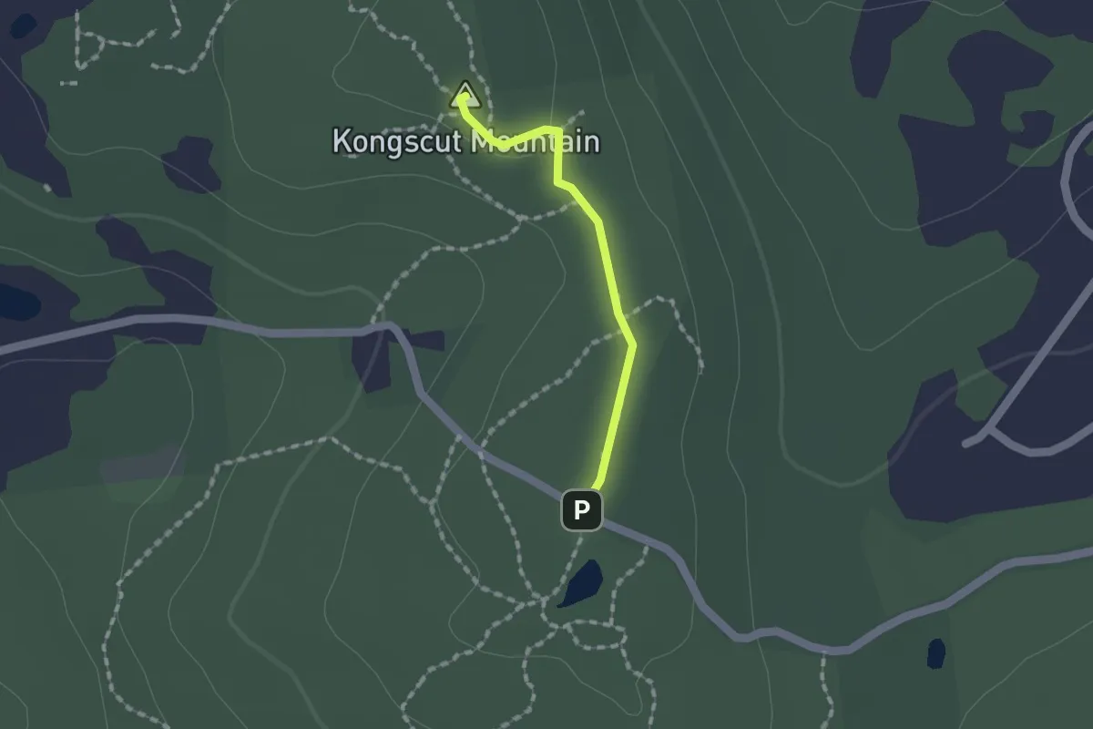
Kongscut Mountain Trail
1.3 km · ↑ 20 m · 21 min · 9 km away
Easy · Trail
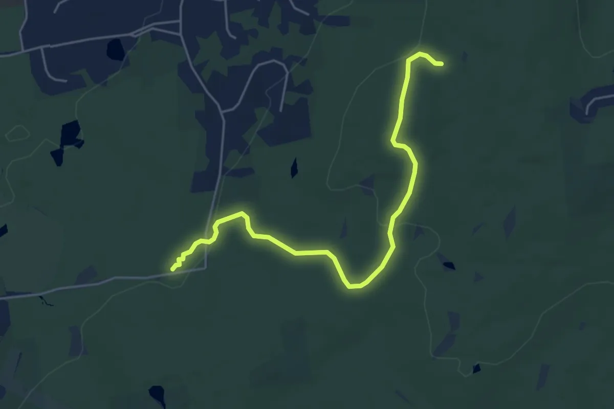
Yellow-Red Trail
5.3 km · ↑ 104 m · 1 h 28 min · 9 km away
Easy · Trail
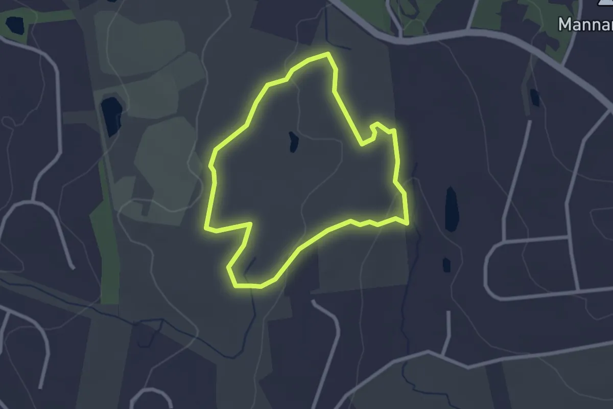
Yellow Trail
2.4 km · ↑ 64 m · 44 min · 10 km away
Easy · Trail
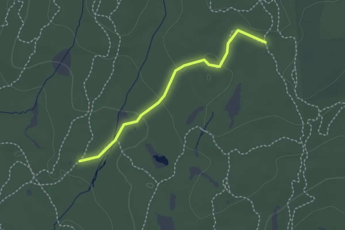
Yellow-Gray Trail
2.0 km · ↑ 34 m · 33 min · 10 km away
Easy · Trail
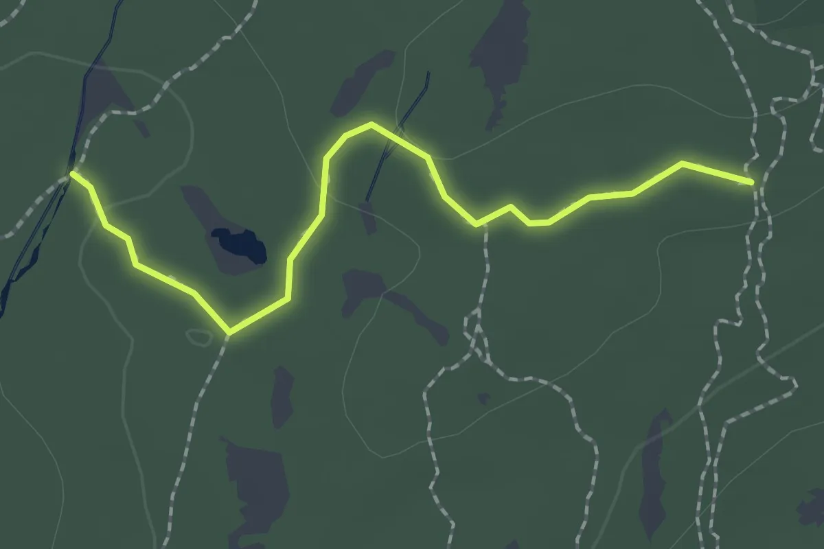
Red Trail
2.1 km · ↑ 35 m · 34 min · 10 km away
Easy · Trail
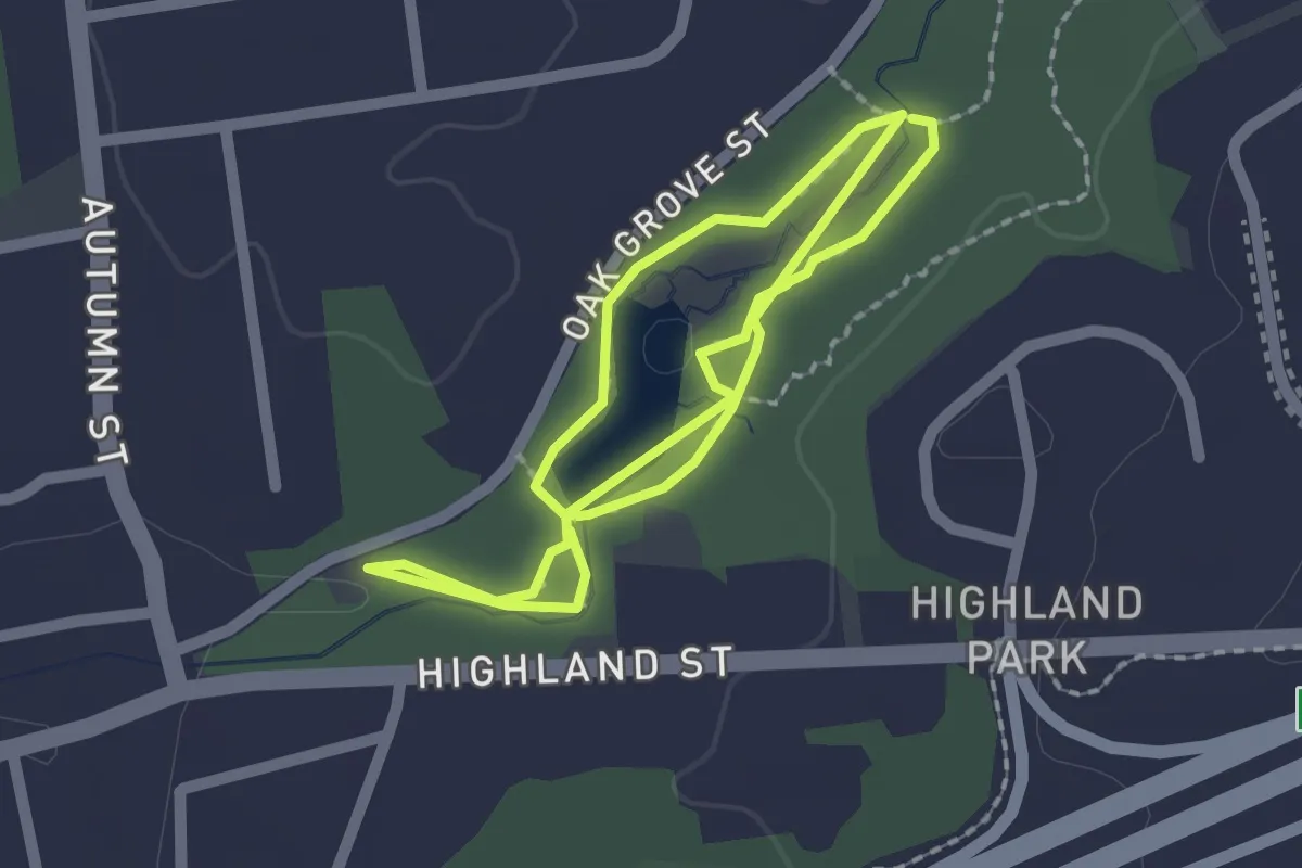
Pond Trail
4.0 km · ↑ 28 m · 1 h · 11 km away
Easy · Summit
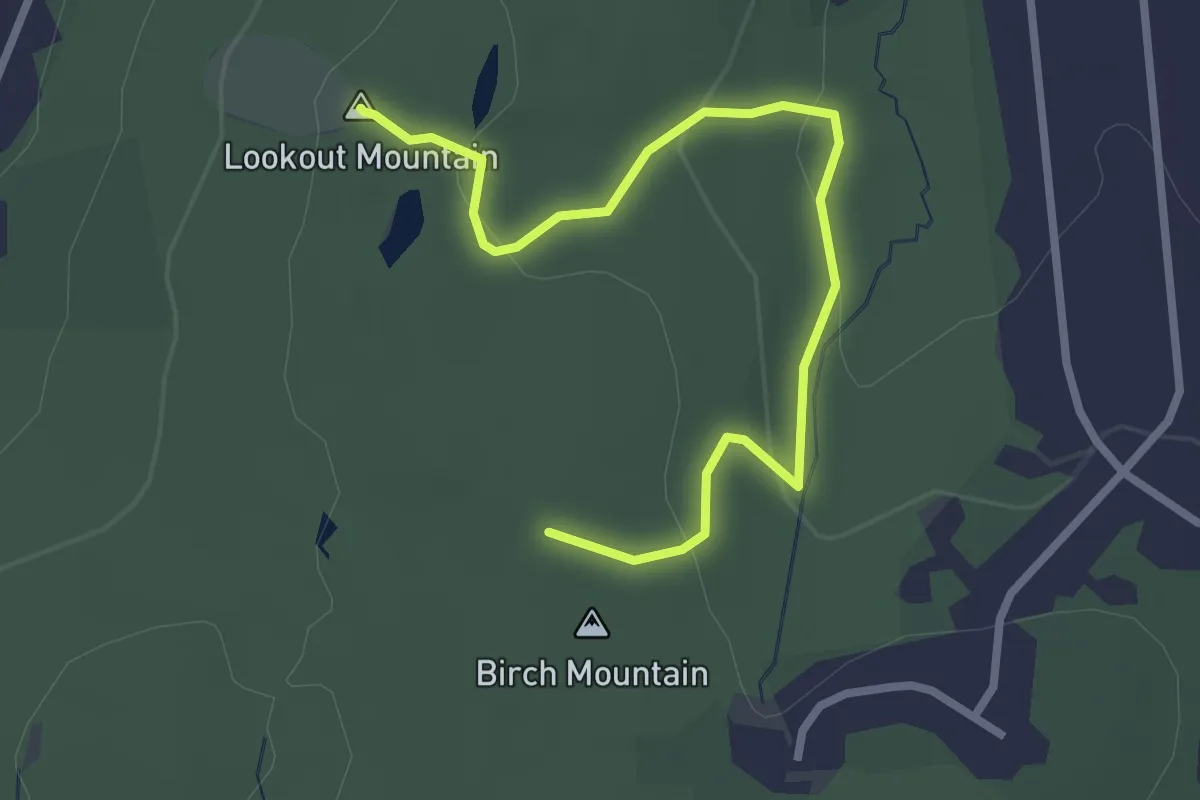
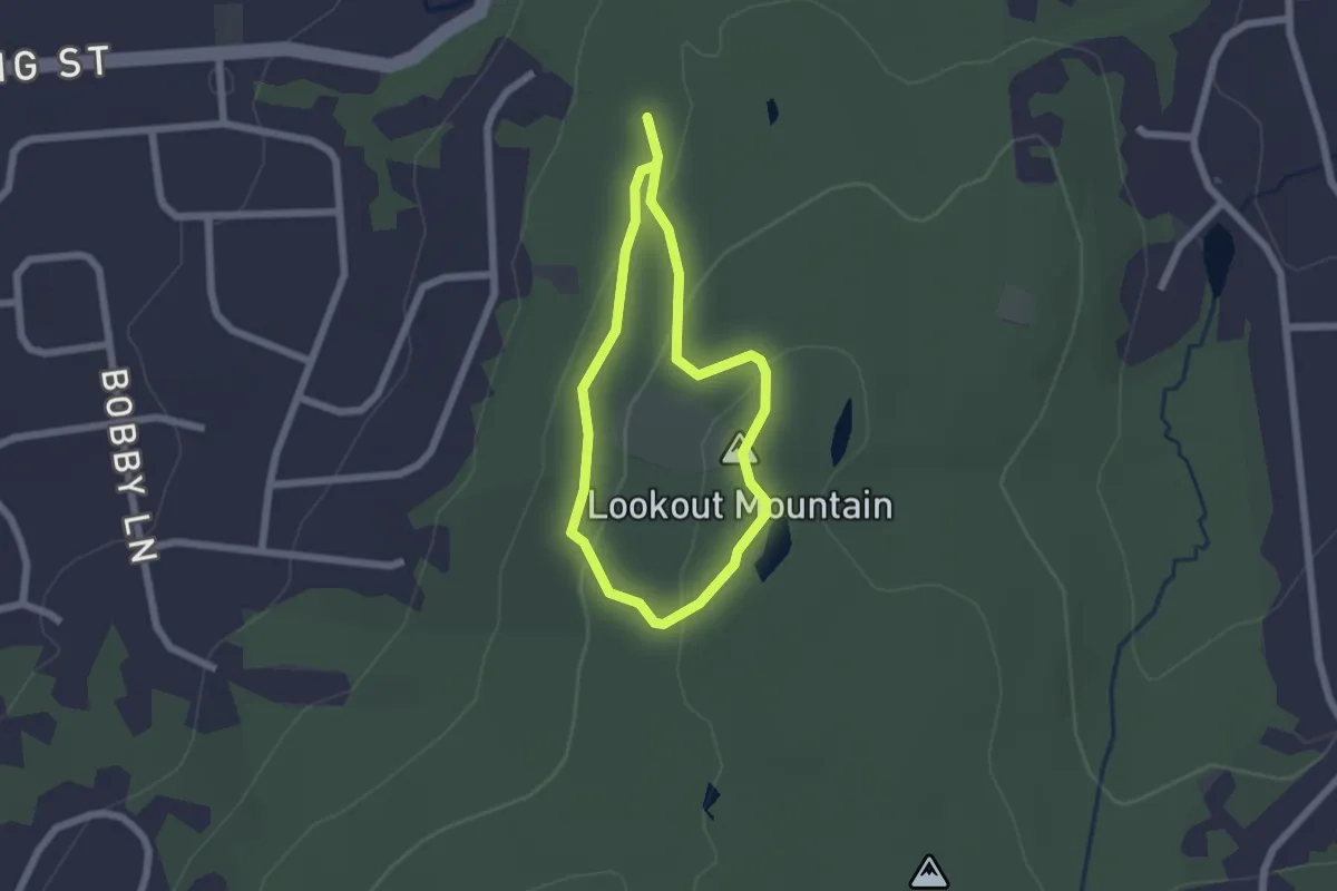
Lookout Mountain Trail
3.3 km · ↑ 118 m · 1 h 3 min · 11 km away
Easy · Summit
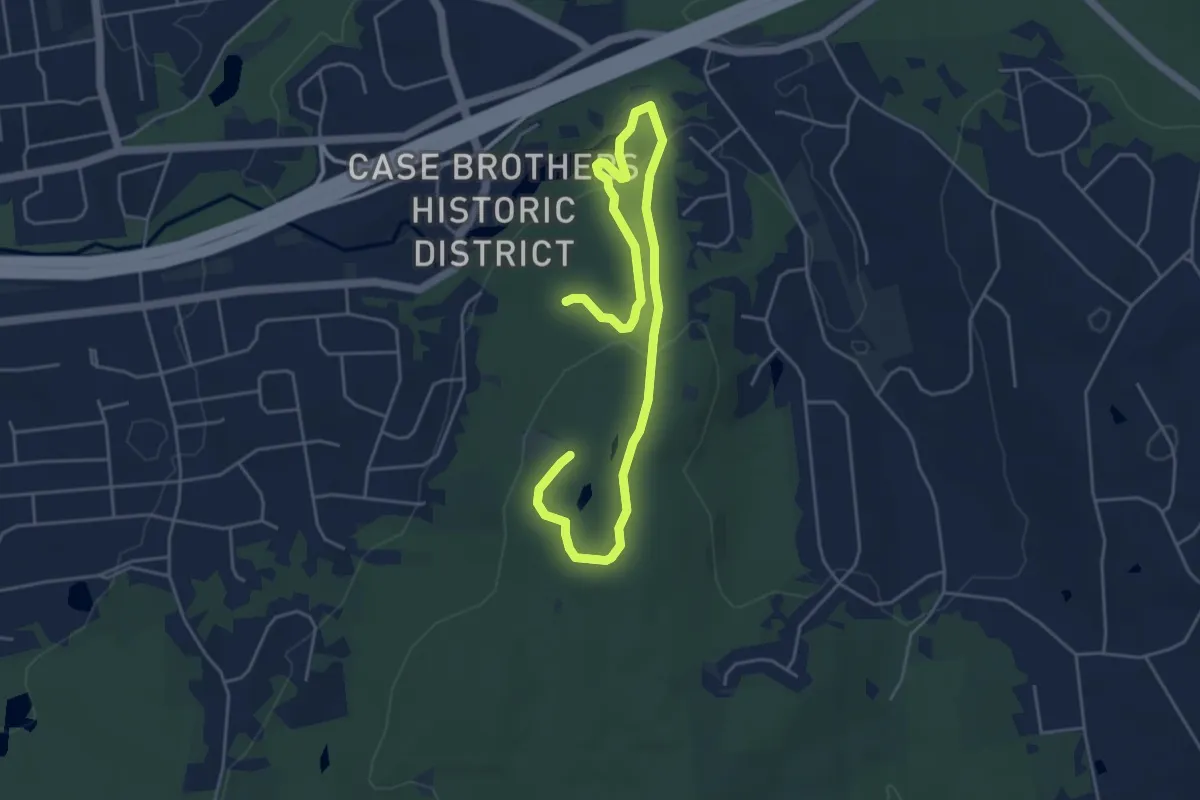
Highland Trail
1.8 km · ↑ 60 m · 35 min · 11 km away
Easy · Summit
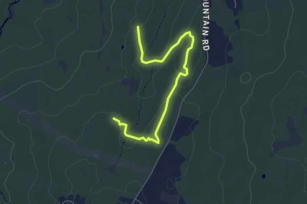
Carriage Path
7.0 km · ↑ 170 m · 2 h 1 min · 11 km away
Easy · Trail
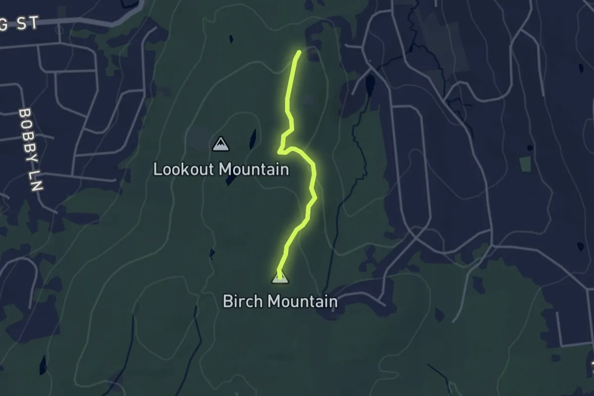
Shenipsit/Gay City Connector
5.4 km · ↑ 171 m · 1 h 38 min · 11 km away
Easy · Summit
Birch Mountain Trail
2.6 km · ↑ 83 m · 48 min · 12 km away
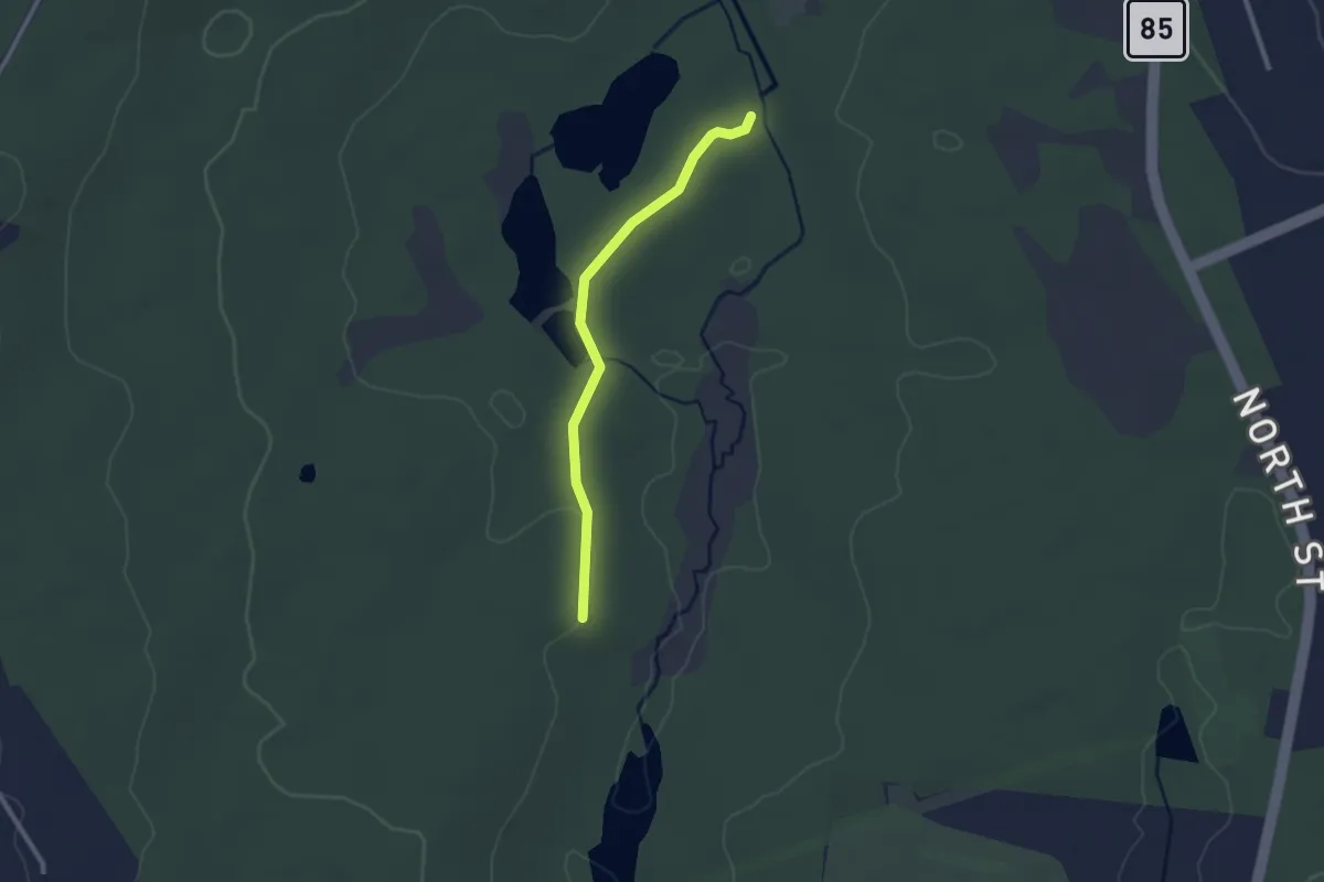
Easy · Trail
Connector Trail
2.5 km · ↑ 45 m · 41 min · 13 km away
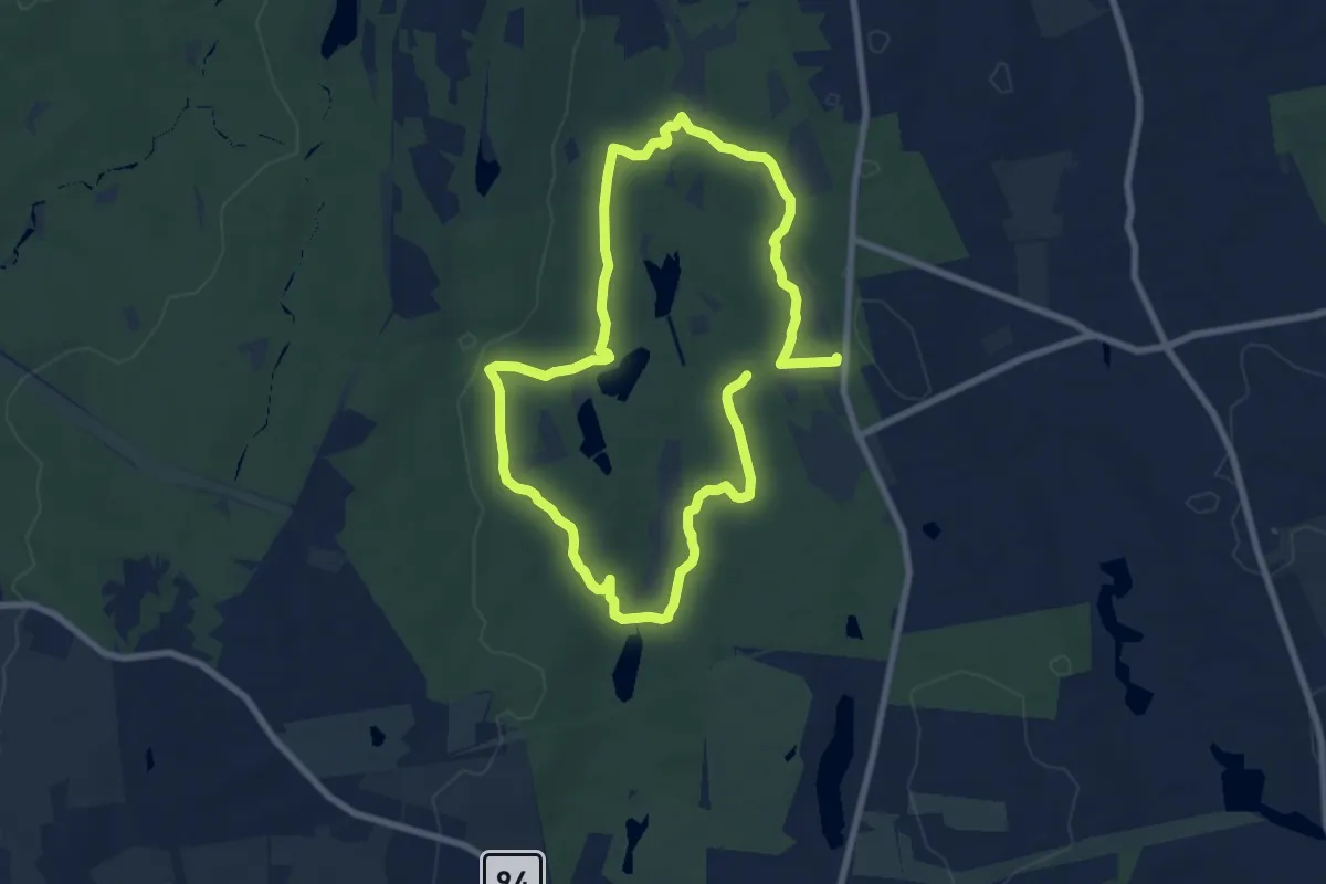
Medium · Trail
Outer Loop Trail
15.5 km · ↑ 219 m · 4 h 8 min · 14 km away
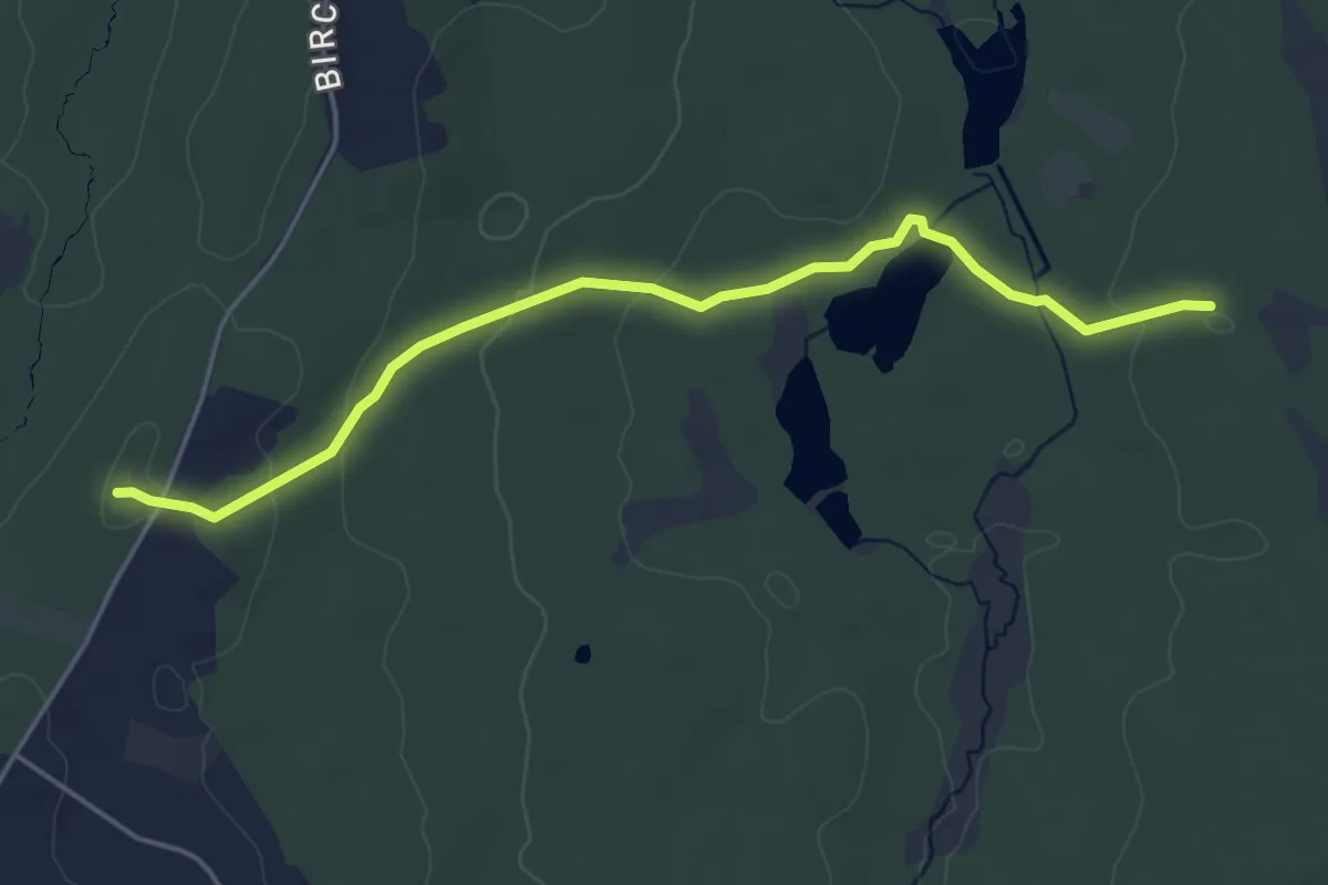
Easy · Trail
Gay City Trail
5.2 km · ↑ 139 m · 1 h 32 min · 14 km away
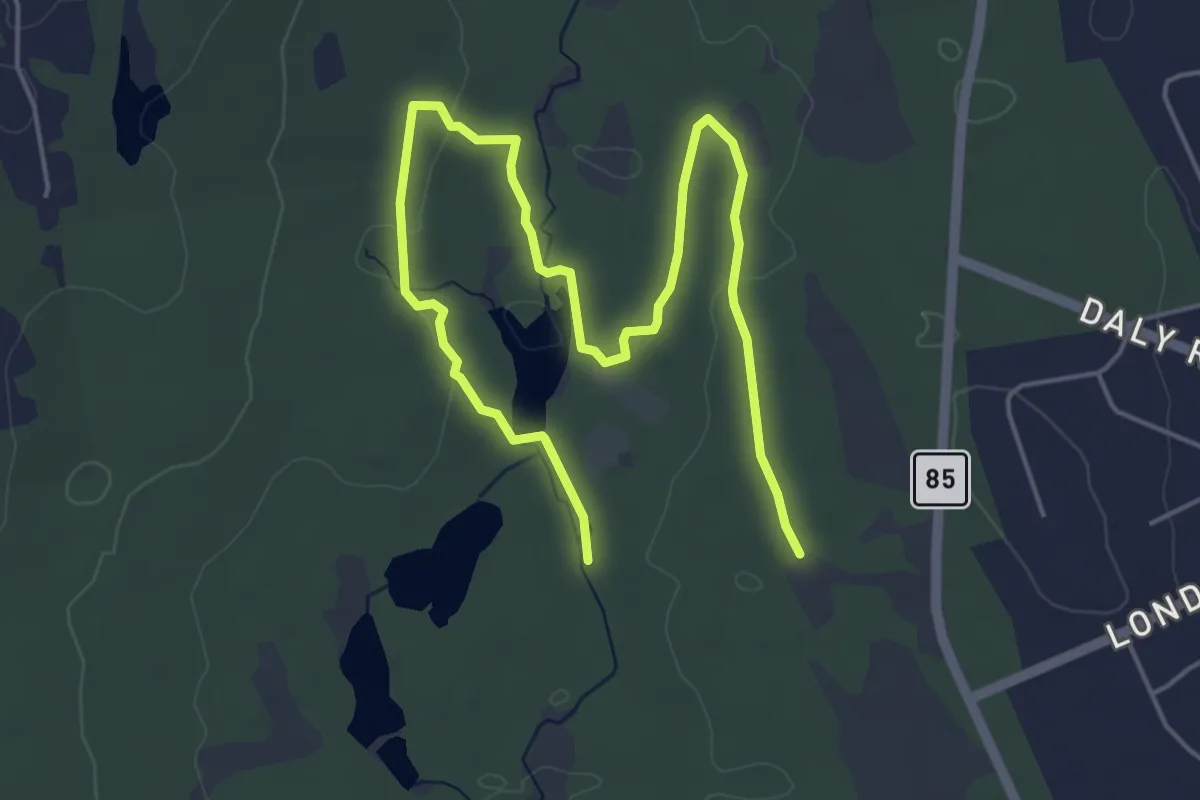
Easy · Trail
Pond Loop Trail
7.7 km · ↑ 79 m · 2 h · 14 km away
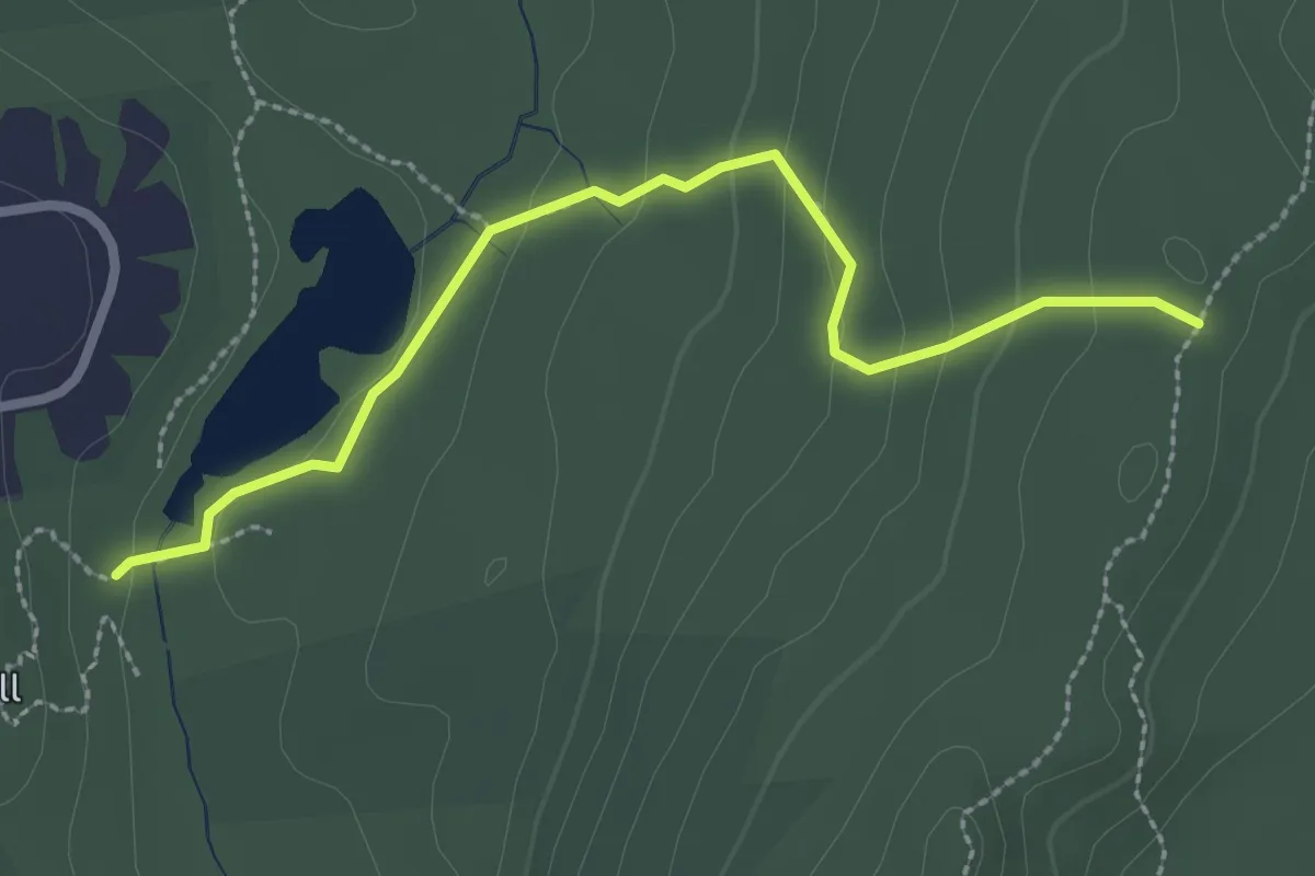
Easy · Trail
Red Trail
3.0 km · ↑ 112 m · 56 min · 15 km away