Trails near Gorham
42 hikes starting within 15 km, nearest first.
Nearest first
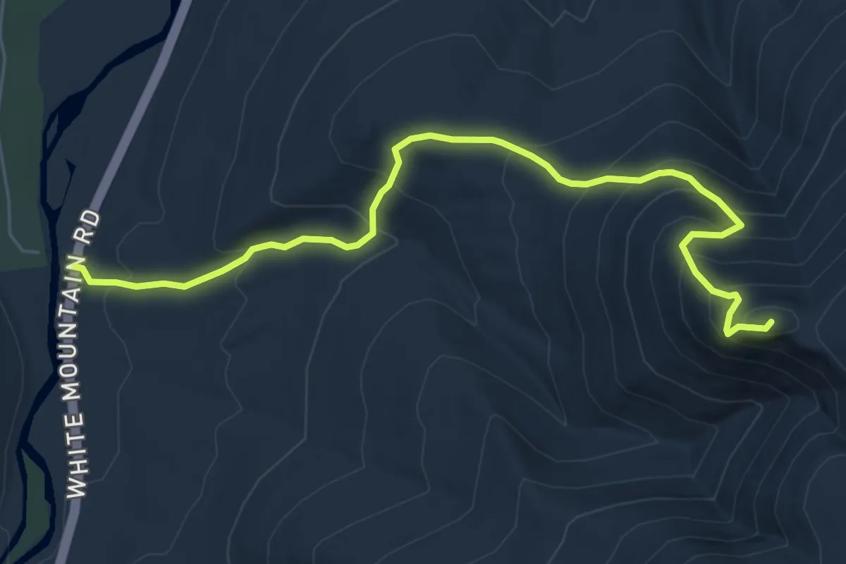
Medium · Summit
Imp Trail
6.9 km · ↑ 613 m · 2 h 57 min · 8 km away
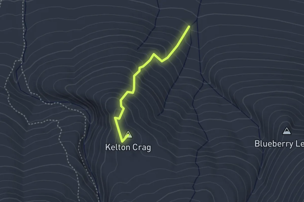
Medium · Summit
Kelton Trail
2.9 km · ↑ 326 m · 1 h 23 min · 8 km away
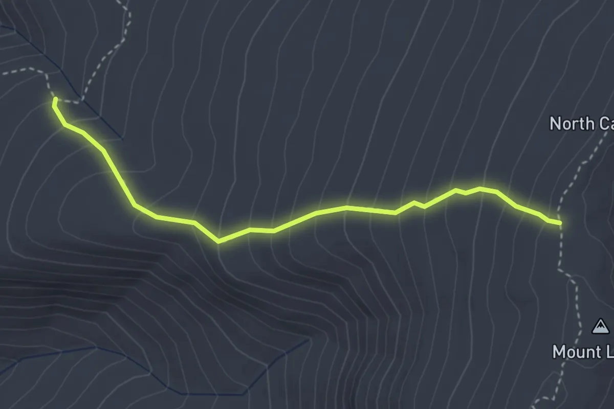
Medium · Trail
North Carter Trail
3.4 km · ↑ 383 m · 1 h 38 min · 9 km away
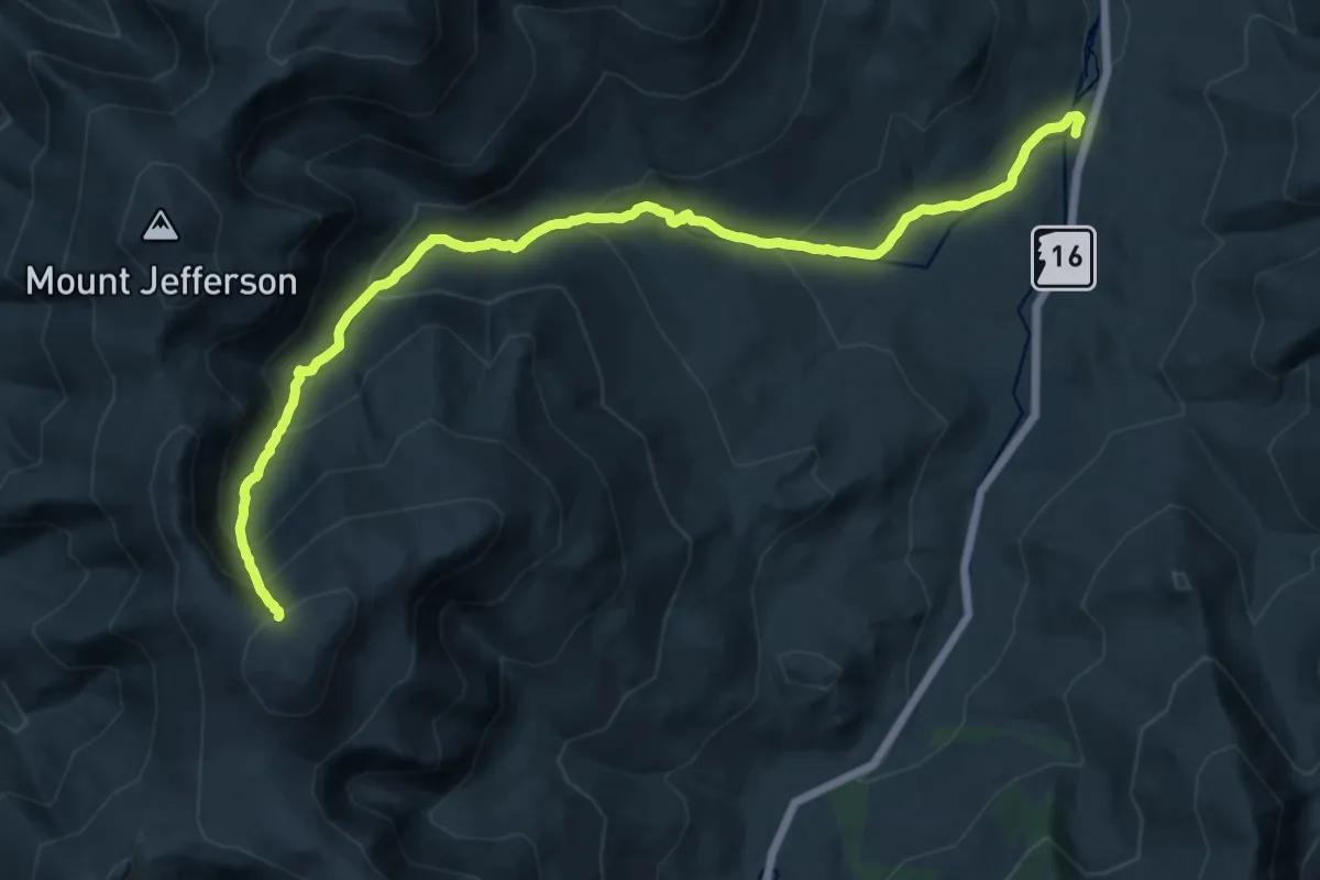
Demanding · Trail
Great Gulf Trail
10.5 km · ↑ 1413 m · 4 h 59 min · 9 km away
Medium · Trail
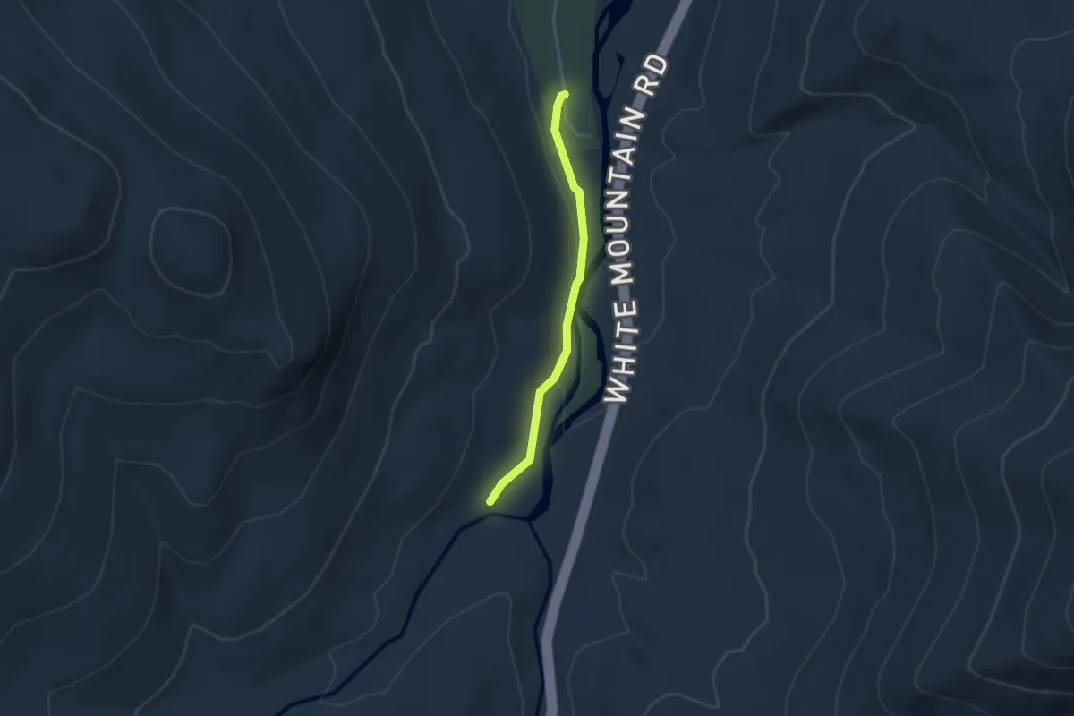
Great Gulf Trail Link
3.3 km · ↑ 40 m · 51 min · 9 km away
Demanding · Cabin
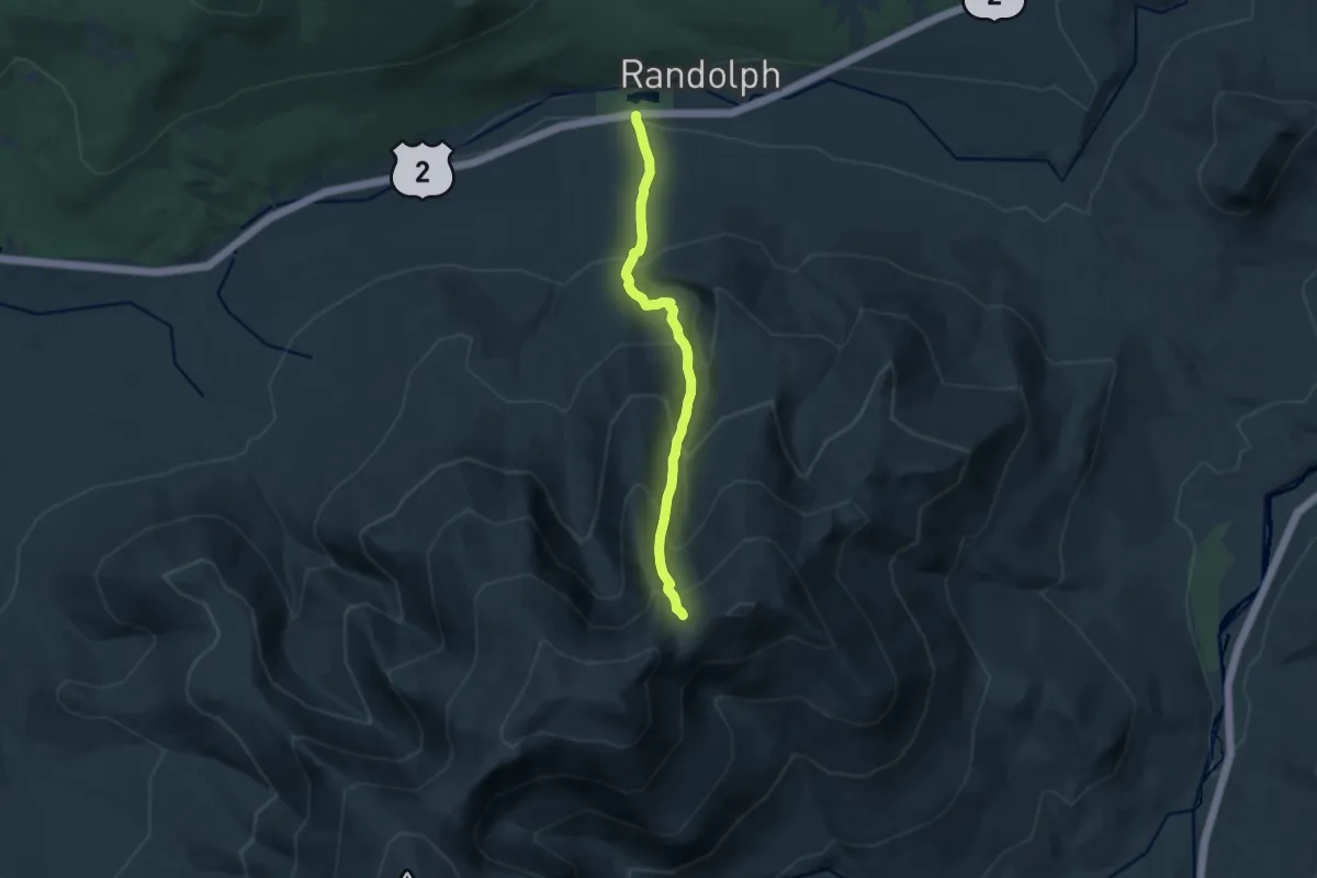
Valley Way
10.9 km · ↑ 1064 m · 4 h 53 min · 9 km away
Demanding · Summit
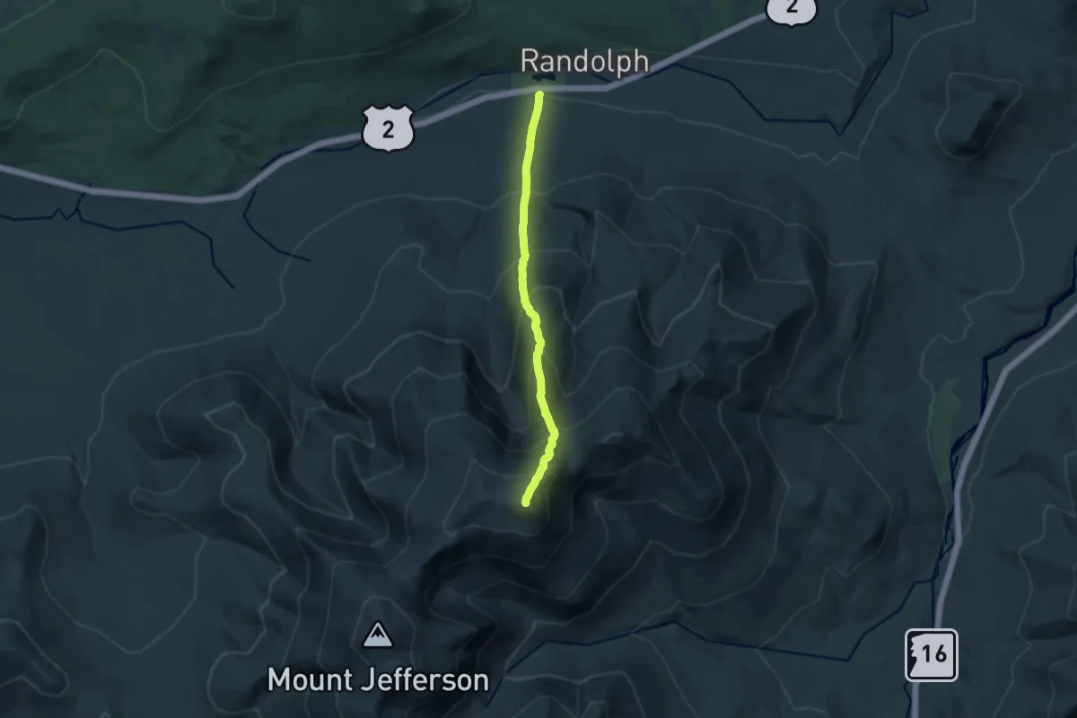
Airline Trail
11.9 km · ↑ 1351 m · 5 h 44 min · 9 km away
Medium · Trail
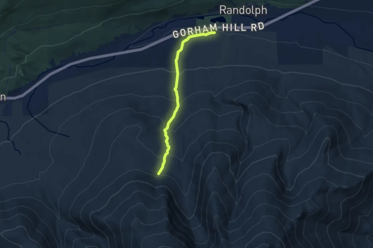
Amphibrach
7.7 km · ↑ 480 m · 2 h 52 min · 9 km away
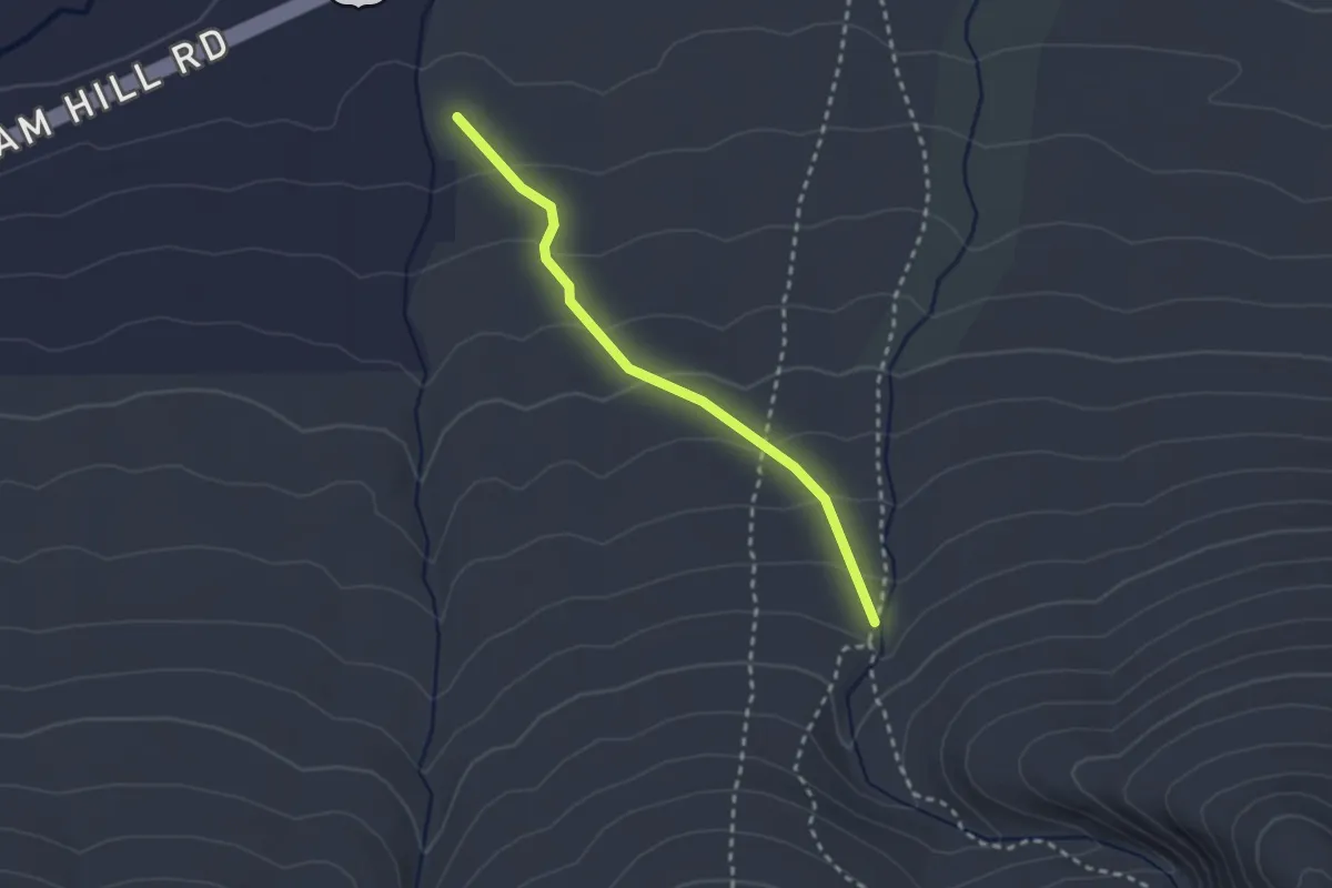
Easy · Trail
Beechwood Way
2.5 km · ↑ 142 m · 53 min · 10 km away
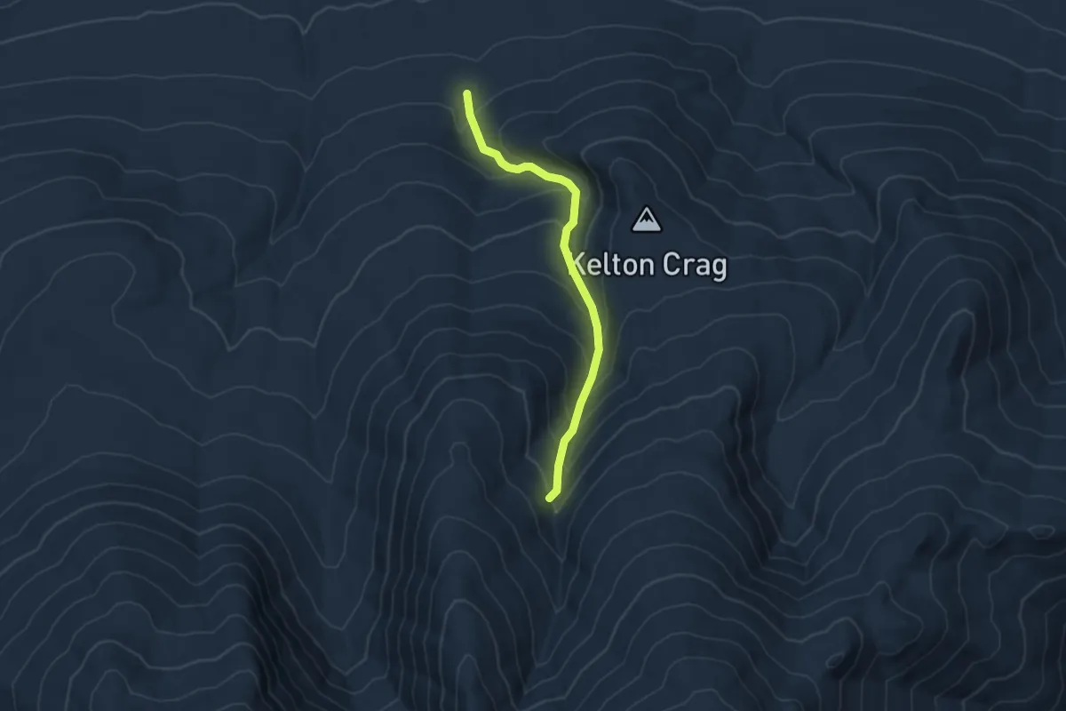
Medium · Trail
The Brookside
4.8 km · ↑ 425 m · 2 h 3 min · 10 km away
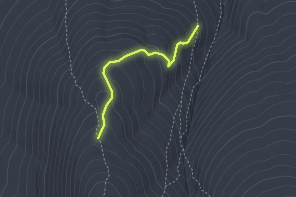
Medium · Trail
Scar Trail
2.4 km · ↑ 254 m · 1 h 8 min · 10 km away
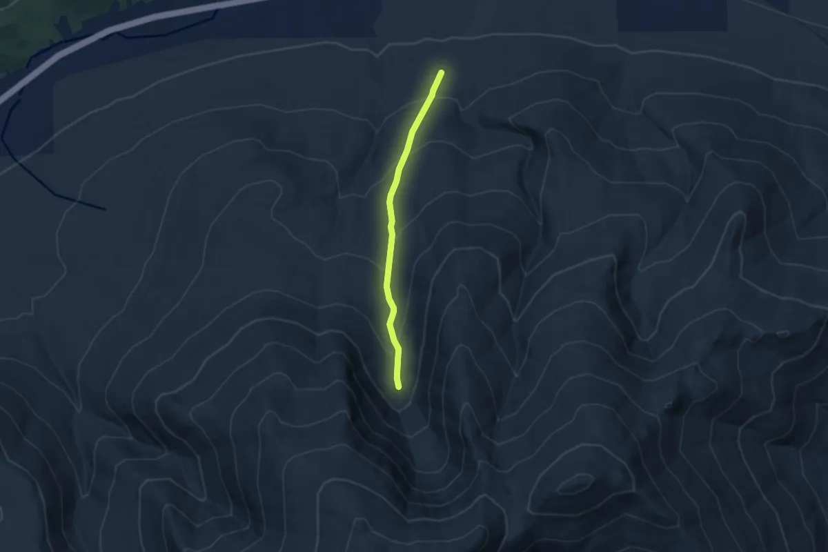
Medium · Trail
Short Line Trail
5.8 km · ↑ 395 m · 2 h 13 min · 10 km away
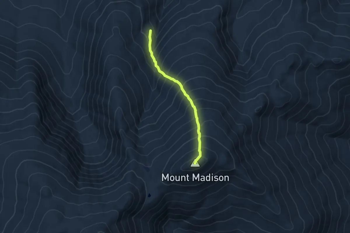
Medium · Summit
Watson Path
4.0 km · ↑ 657 m · 2 h 22 min · 10 km away
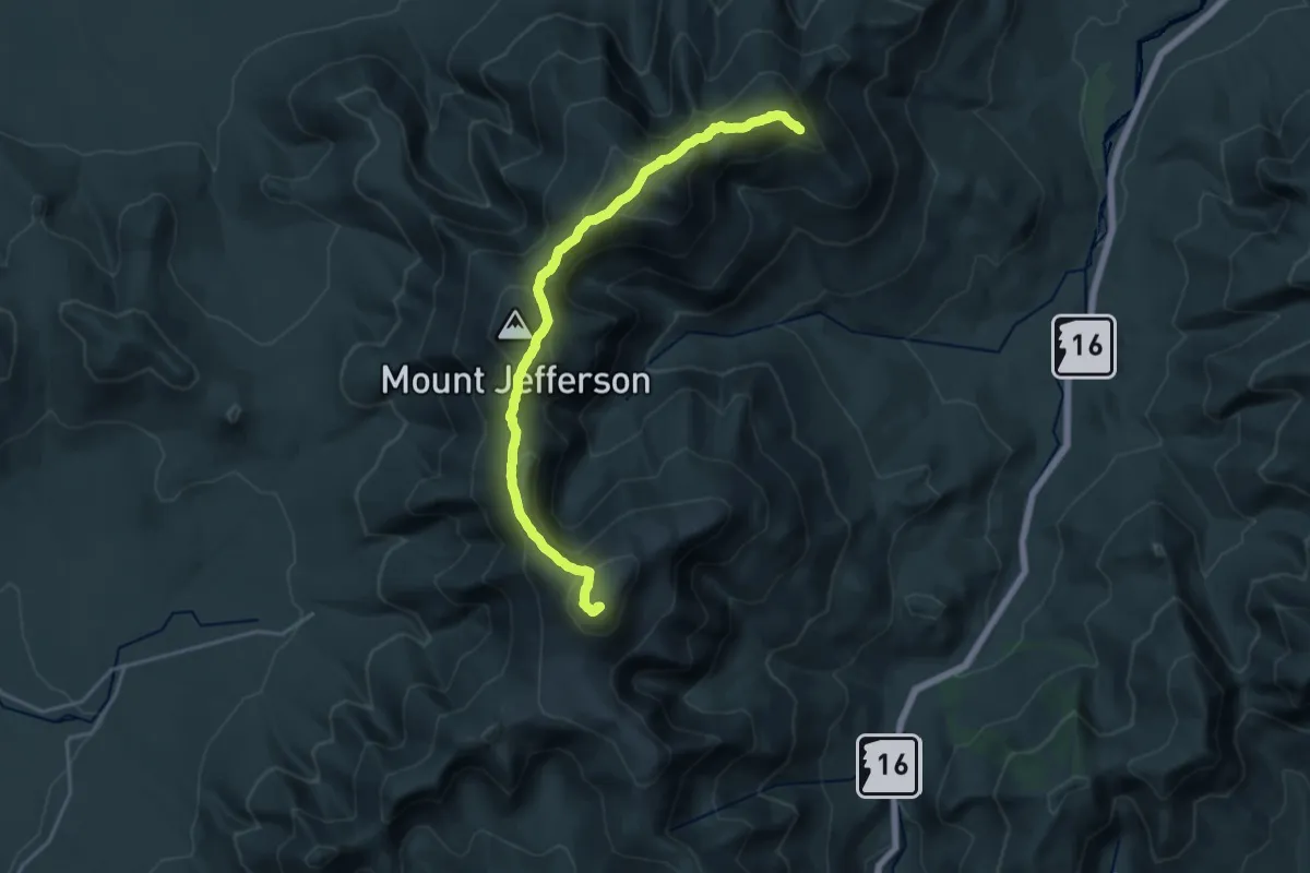
Demanding · Summit
Gulfside Trail
19.9 km · ↑ 1450 m · 7 h 50 min · 10 km away
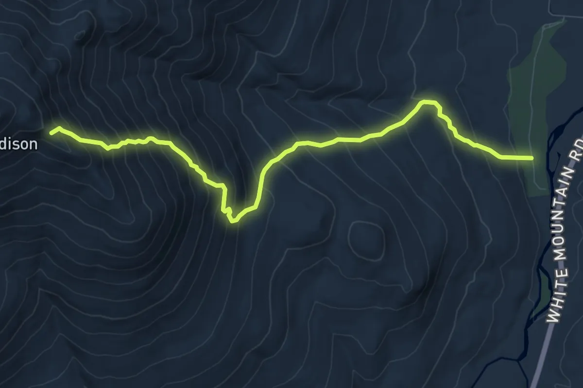
Demanding · Trail
Daniel Webster Trail
10.4 km · ↑ 1101 m · 4 h 50 min · 10 km away
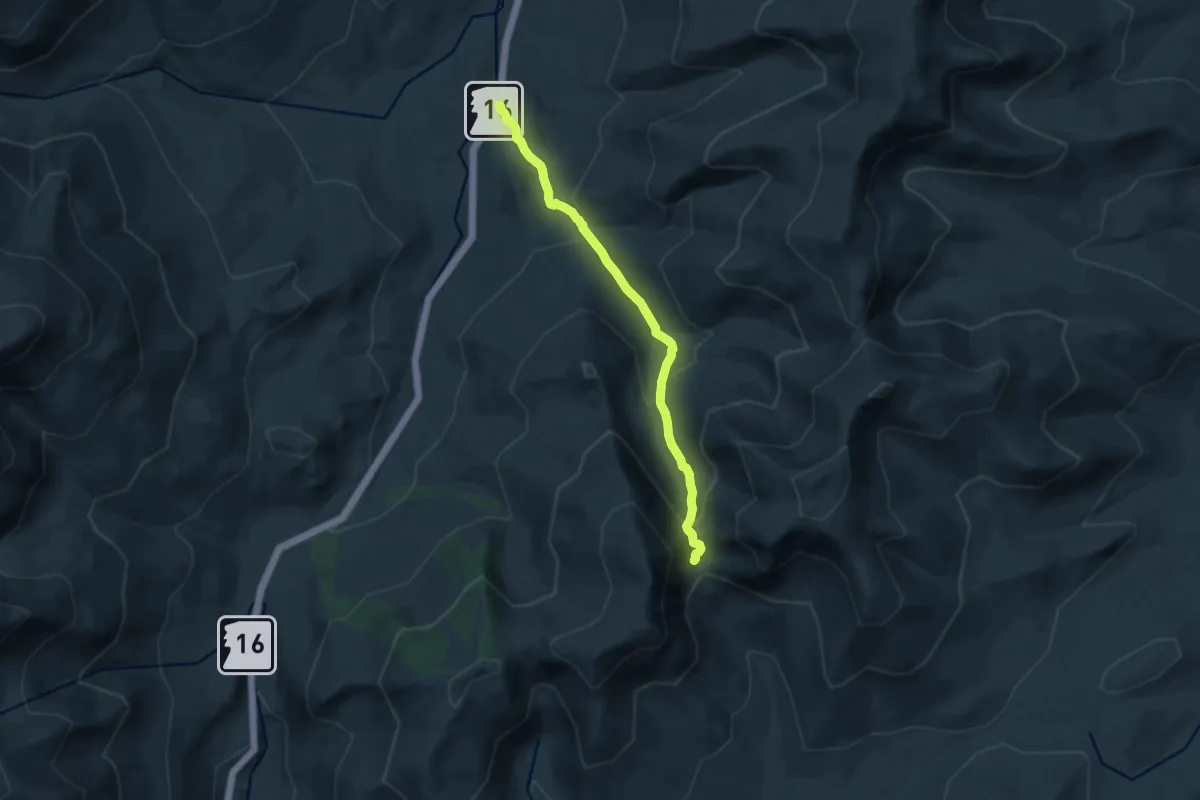
Medium · Cabin
Nineteen Mile Brook
11.5 km · ↑ 614 m · 4 h 3 min · 10 km away
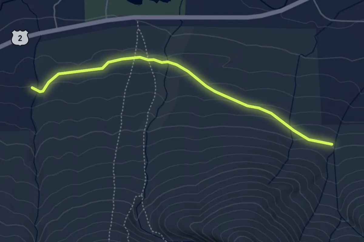
Easy · Trail
Sylvan Way
5.0 km · ↑ 107 m · 1 h 25 min · 10 km away
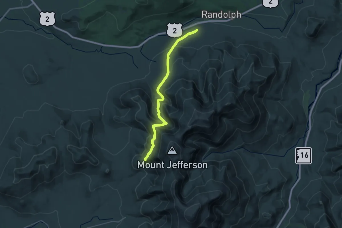
Demanding · Trail
The Link
20.0 km · ↑ 1009 m · 6 h 54 min · 10 km away
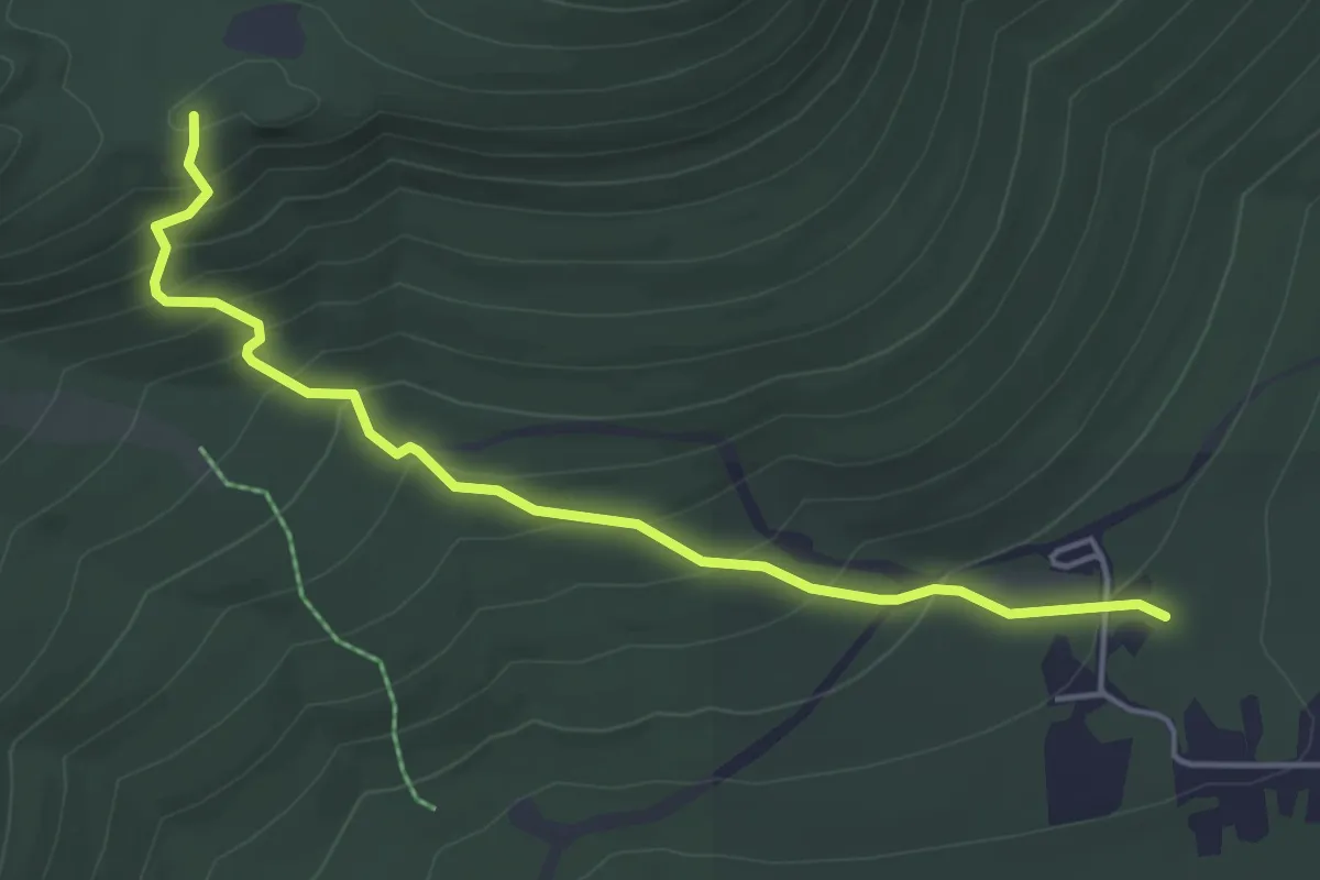
Easy · Trail
Carlton Notch Trail
4.9 km · ↑ 287 m · 1 h 47 min · 11 km away
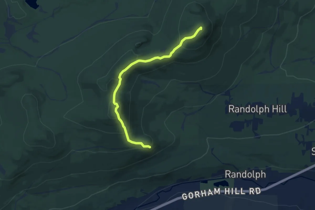
Medium · Summit
Crescent Ridge Trail
8.9 km · ↑ 638 m · 3 h 29 min · 11 km away
Easy · Trail
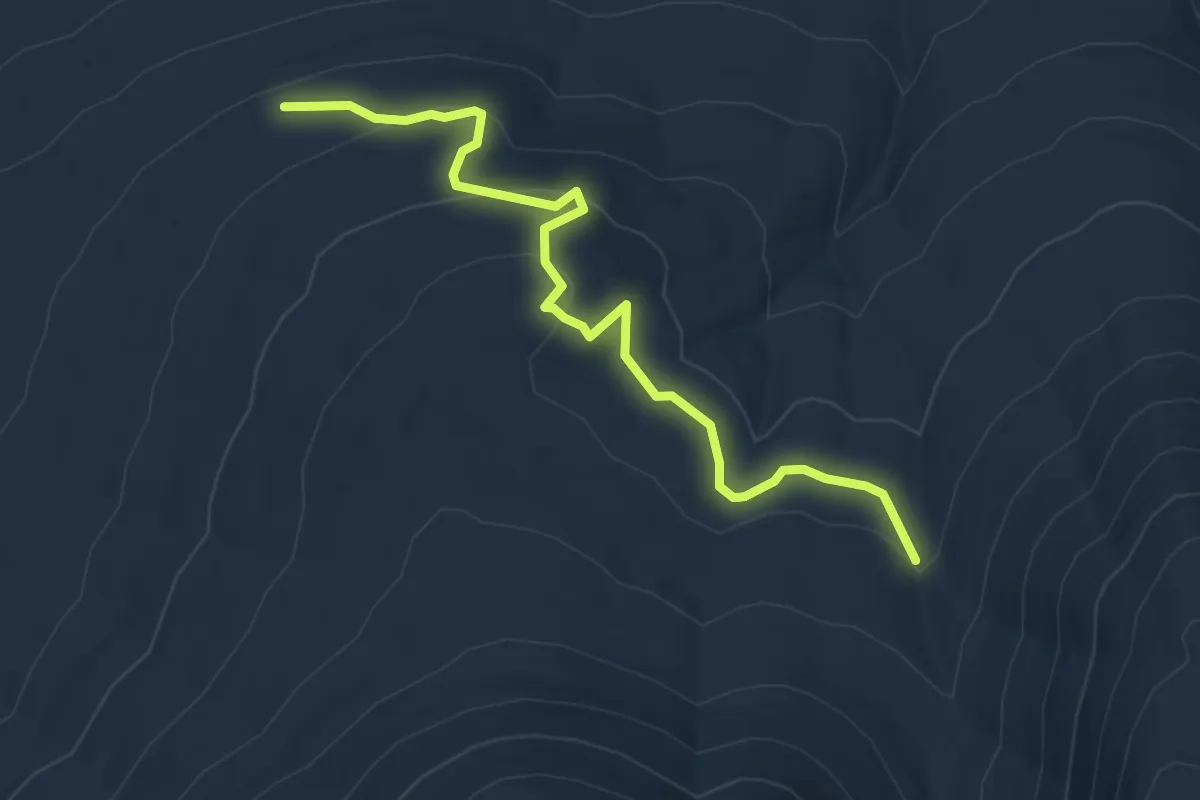
Cliffway
5.8 km · ↑ 241 m · 1 h 54 min · 11 km away
Easy · Summit
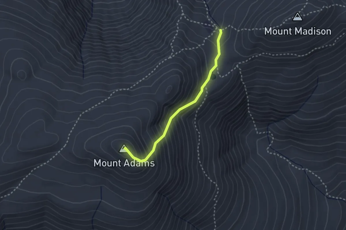
Star Lake Trail
2.6 km · ↑ 317 m · 1 h 17 min · 11 km away
Medium · Trail
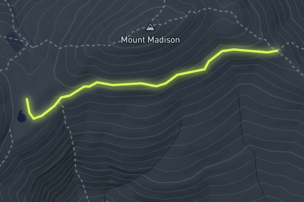
Parapet Trail
2.6 km · ↑ 123 m · 53 min · 11 km away
Medium · Trail
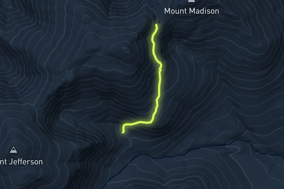
Buttress Trail
5.1 km · ↑ 507 m · 2 h 18 min · 11 km away
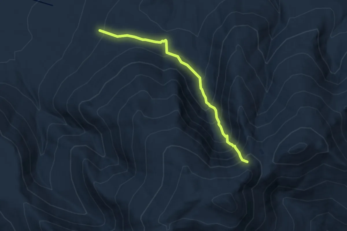
Demanding · Trail
King Ravine Trail
7.8 km · ↑ 901 m · 3 h 47 min · 11 km away
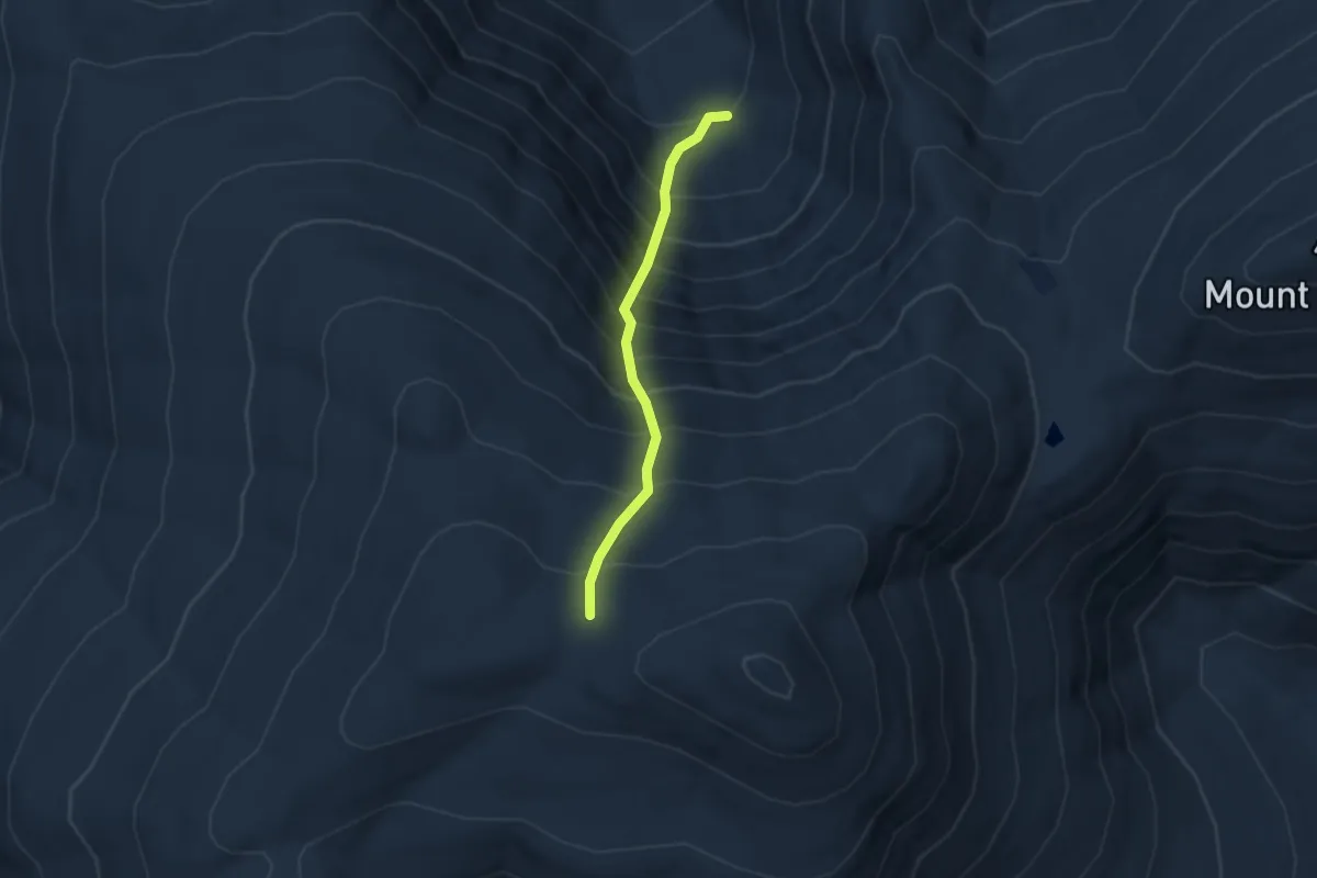
Medium · Trail
Great Gully Trail
2.4 km · ↑ 521 m · 1 h 42 min · 11 km away
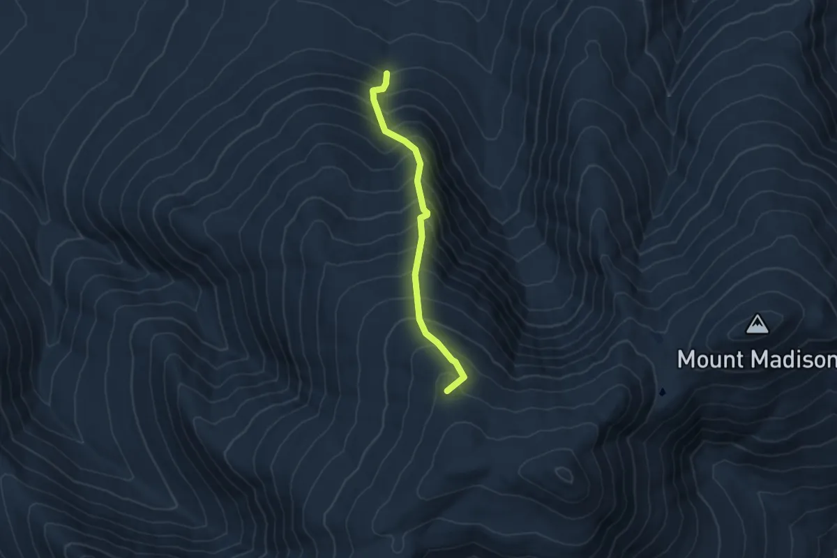
Medium · Summit
Spur Trail
4.7 km · ↑ 727 m · 2 h 40 min · 12 km away
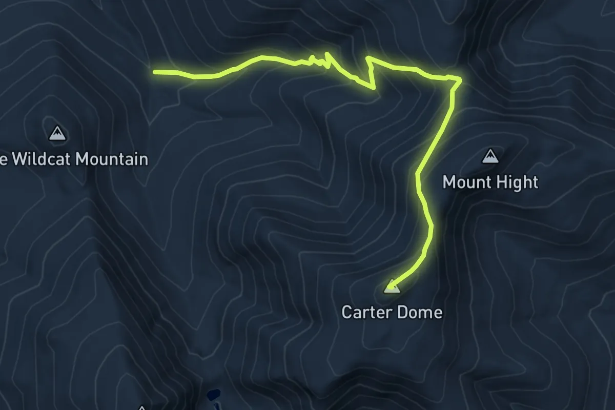
Medium · Summit
Carter Dome Trail
9.0 km · ↑ 759 m · 3 h 47 min · 12 km away
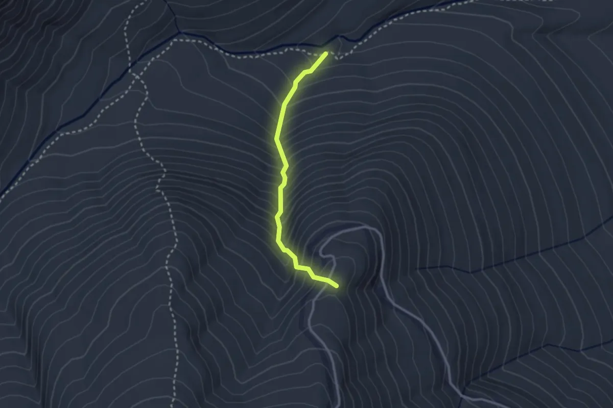
Medium · Summit
Chandler Brook Trail
2.5 km · ↑ 408 m · 1 h 28 min · 13 km away
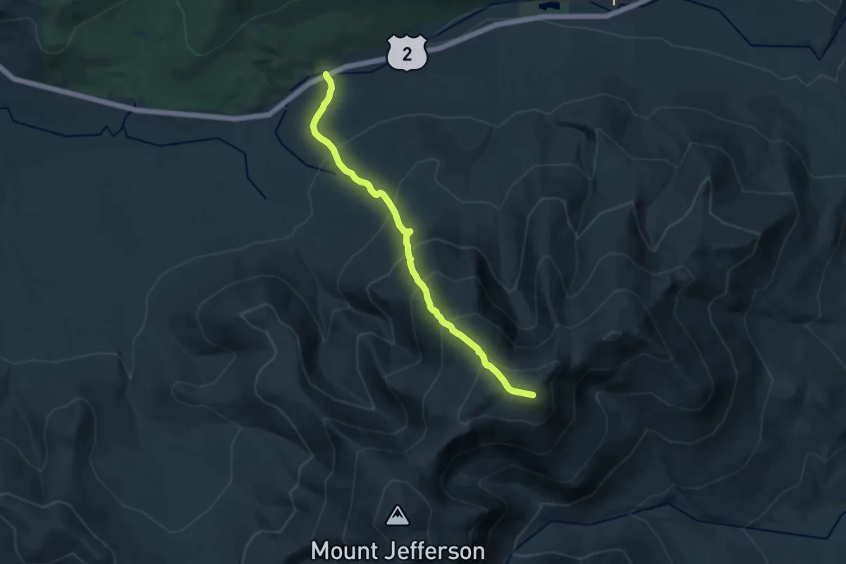
Demanding · Summit
Lowe's Path
13.2 km · ↑ 1351 m · 6 h 3 min · 13 km away
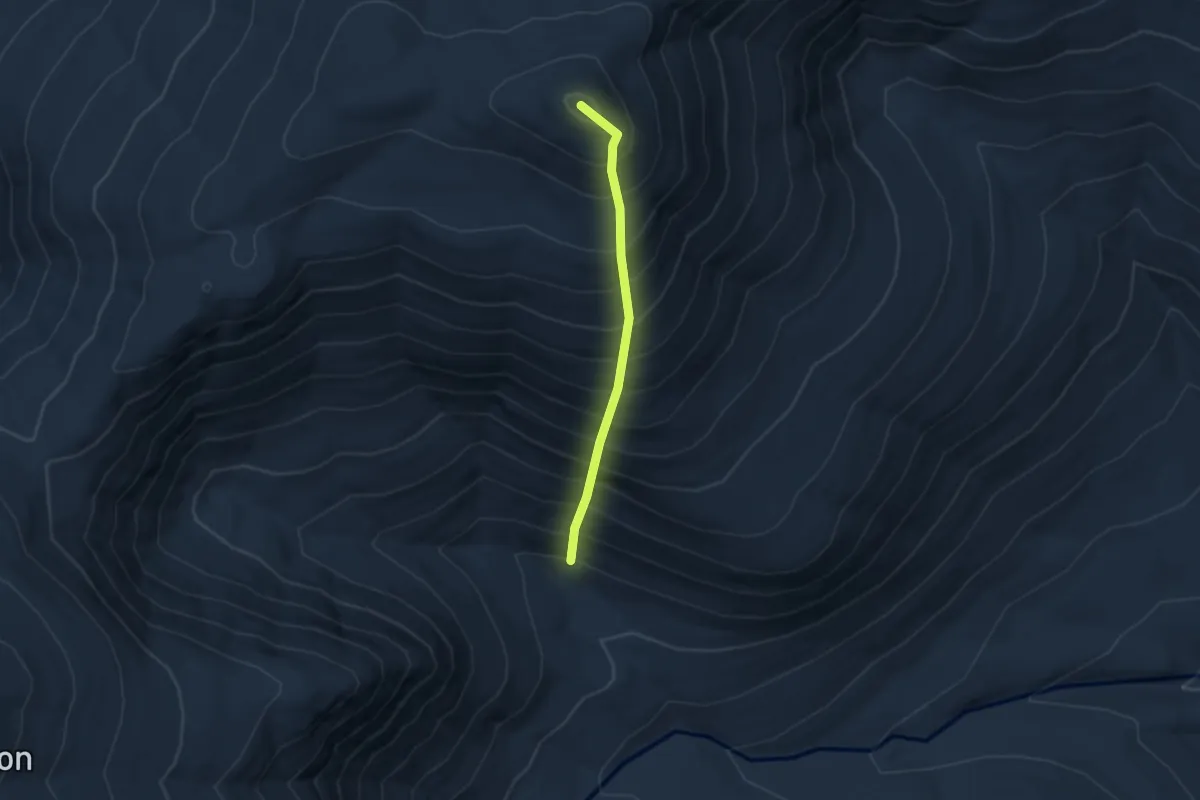
Medium · Summit
Adams Slide Trail
2.9 km · ↑ 715 m · 2 h 14 min · 13 km away
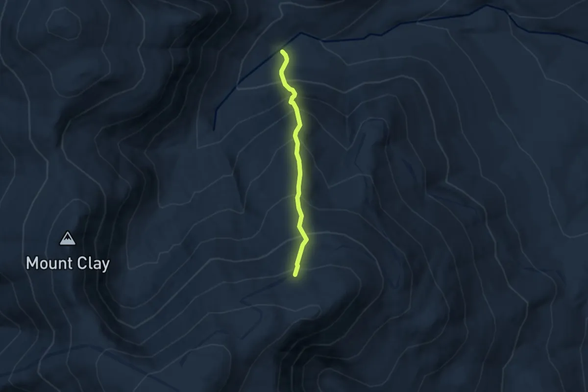
Medium · Trail
Wamsutta Trail
4.6 km · ↑ 664 m · 2 h 32 min · 13 km away
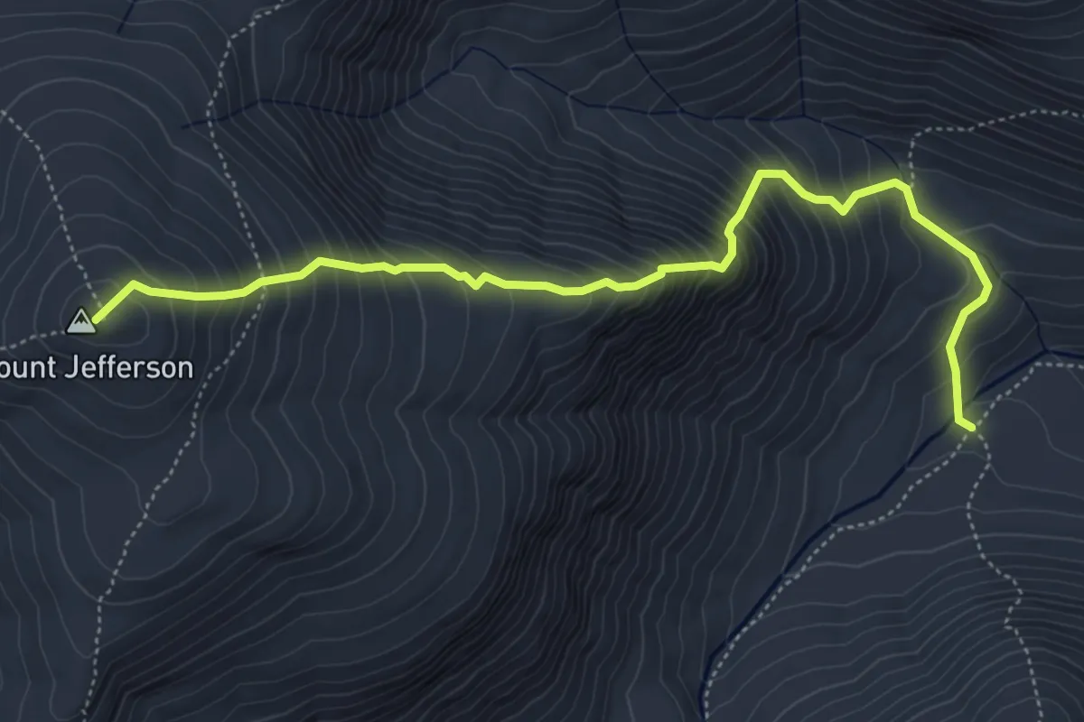
Medium · Summit
Six Husbands Trail
6.0 km · ↑ 791 m · 3 h 8 min · 13 km away
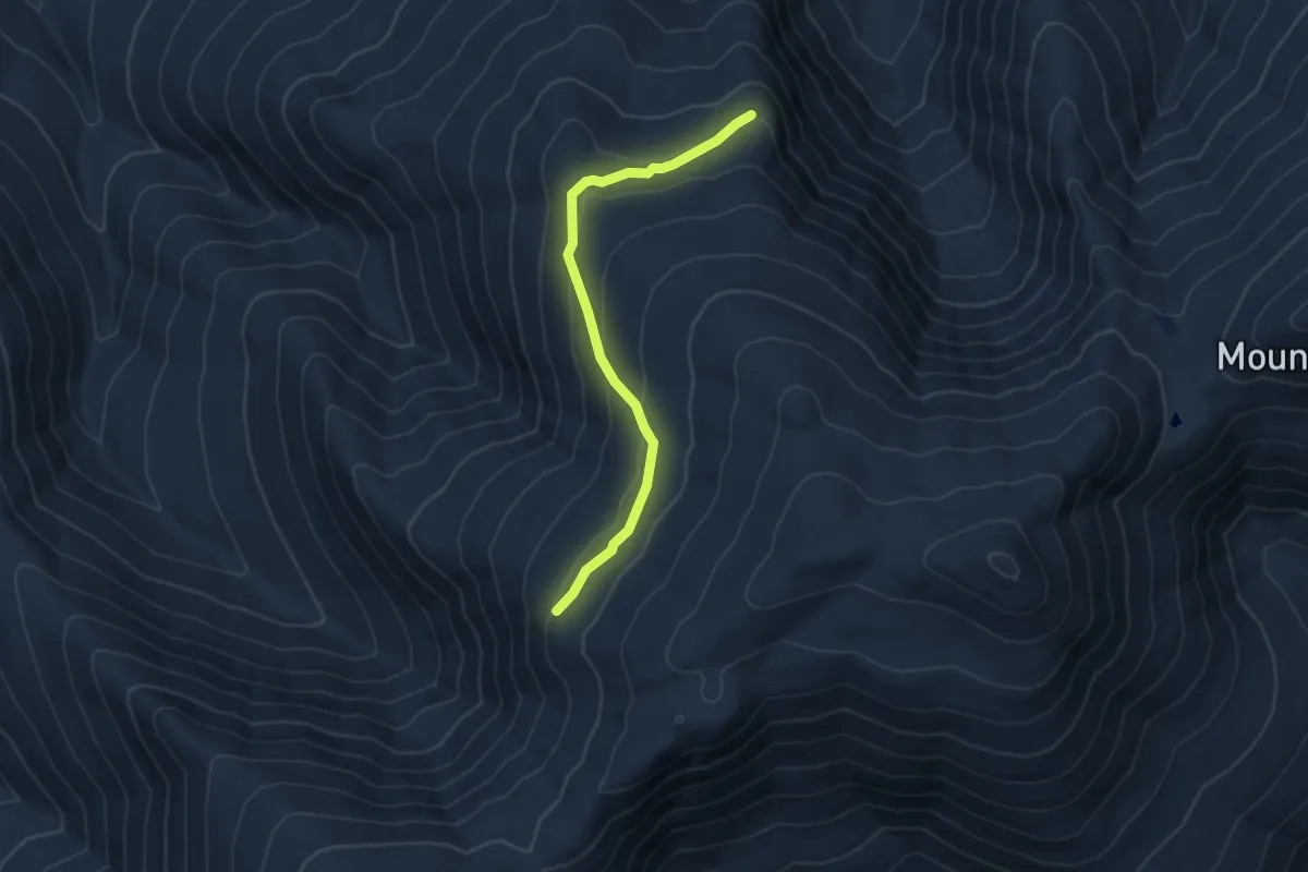
Easy · Cabin
Gray Knob Trail
4.7 km · ↑ 209 m · 1 h 34 min · 13 km away
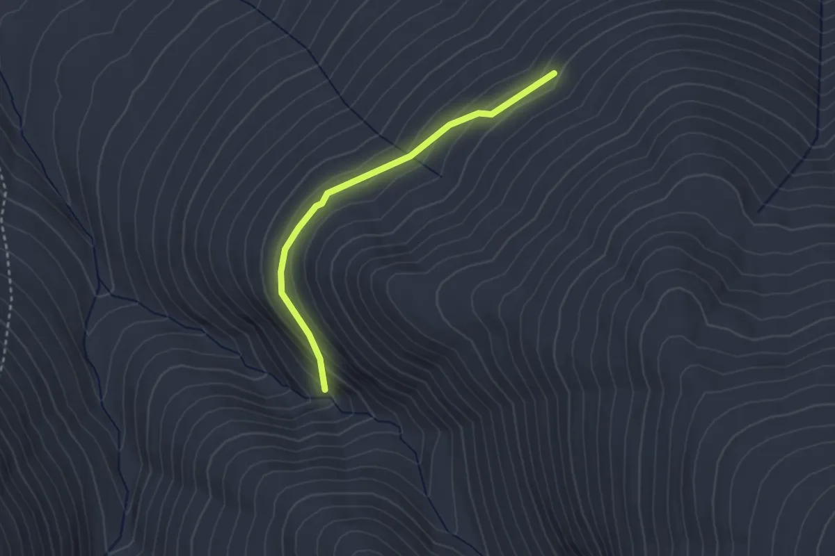
Easy · Trail
Cabin-Cascades Trail
2.8 km · ↑ 152 m · 1 h · 13 km away
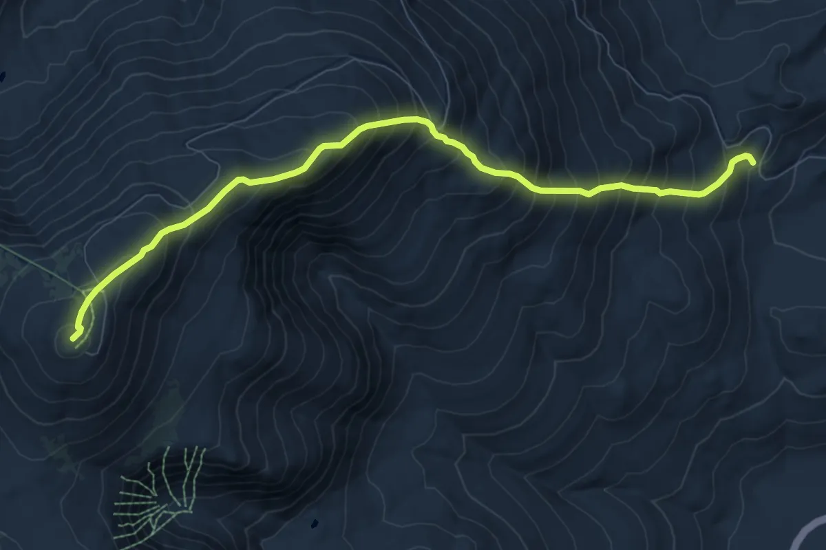
Demanding · Summit
Nelson Crag Trail
9.6 km · ↑ 1157 m · 4 h 46 min · 14 km away
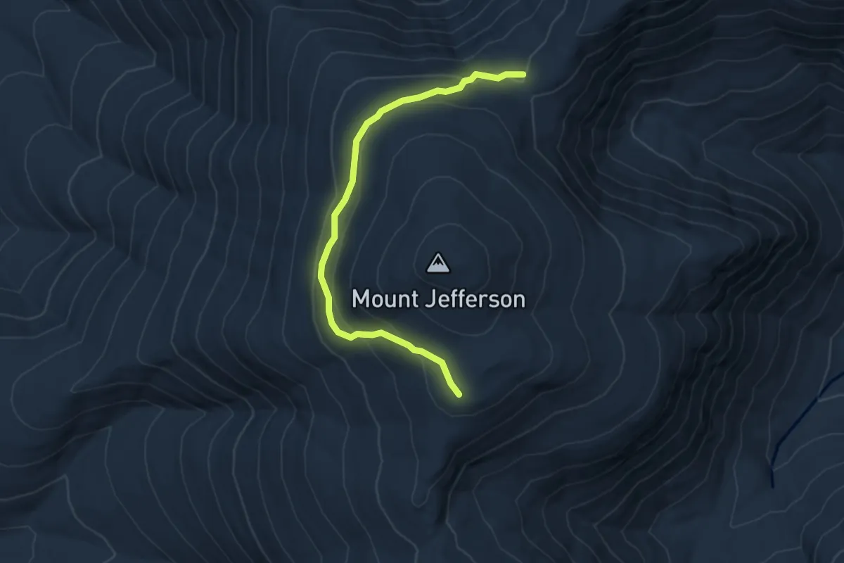
Easy · Trail
The Cornice
4.9 km · ↑ 259 m · 1 h 43 min · 14 km away
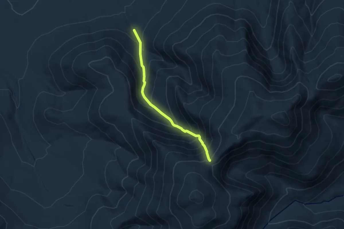
Demanding · Trail
Castle Ravine Trail
7.6 km · ↑ 847 m · 3 h 38 min · 14 km away
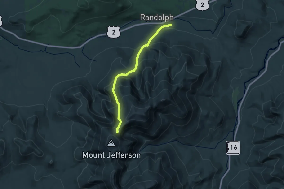
Demanding · Trail
Randolph Path
18.0 km · ↑ 1137 m · 6 h 42 min · 14 km away
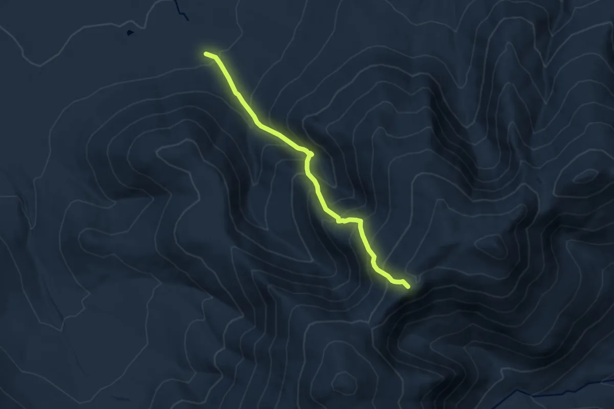
Demanding · Summit
Israel Ridge Path
9.0 km · ↑ 1014 m · 4 h 20 min · 14 km away
Demanding · Summit
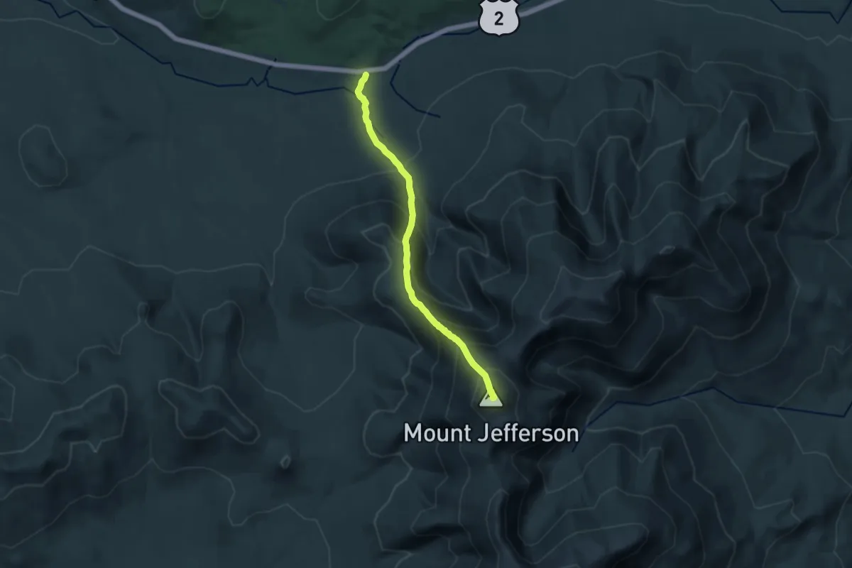
Castle Trail
14.0 km · ↑ 1280 m · 6 h 5 min · 14 km away
Easy · Trail
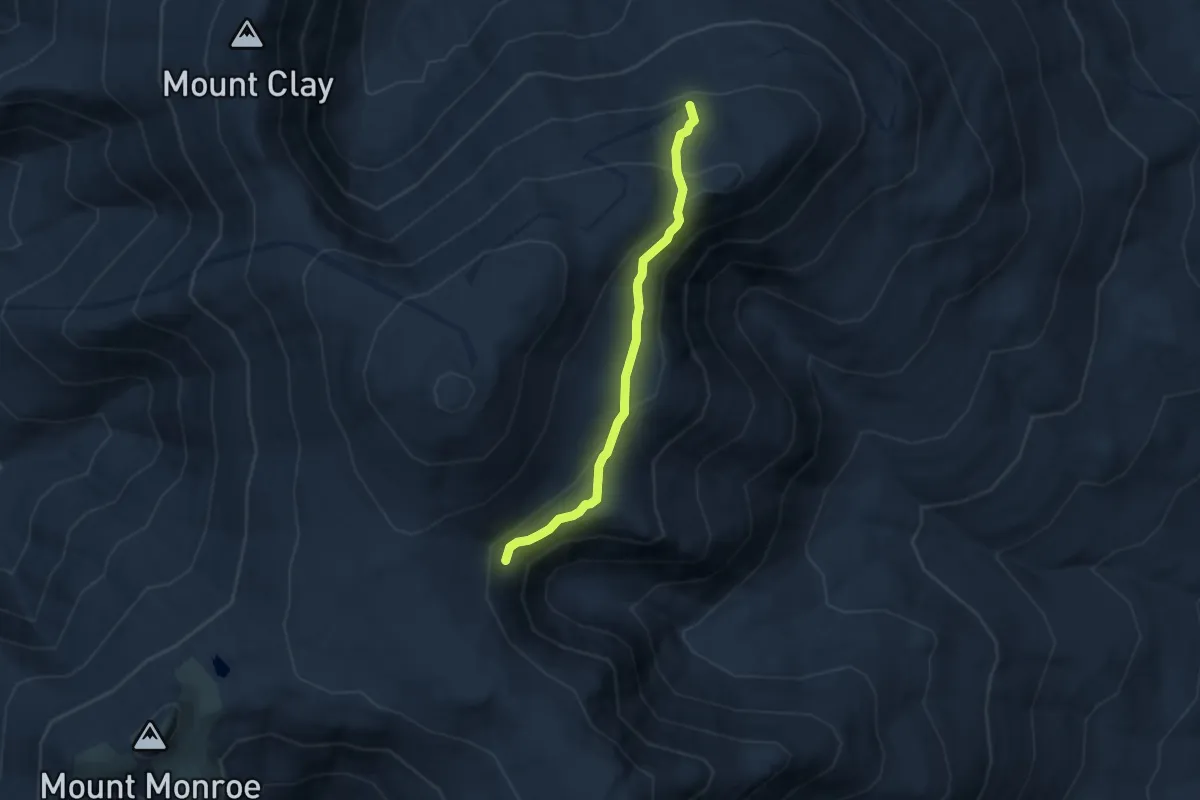
Alpine Garden Trail
5.3 km · ↑ 246 m · 1 h 47 min · 15 km away