Trails near Greenlawn
38 hikes starting within 15 km, nearest first.
Nearest first
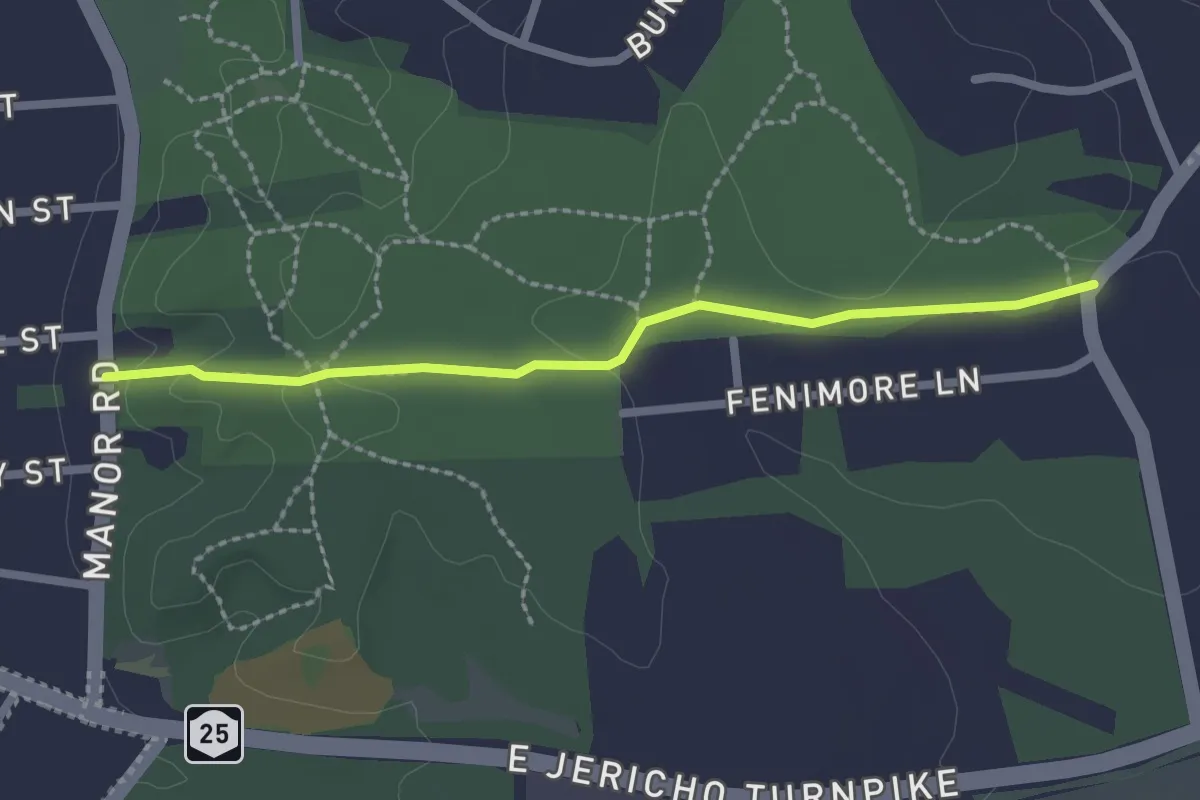
Easy · Trail
Blue Trail
2.4 km · ↑ 48 m · 41 min · 4 km away
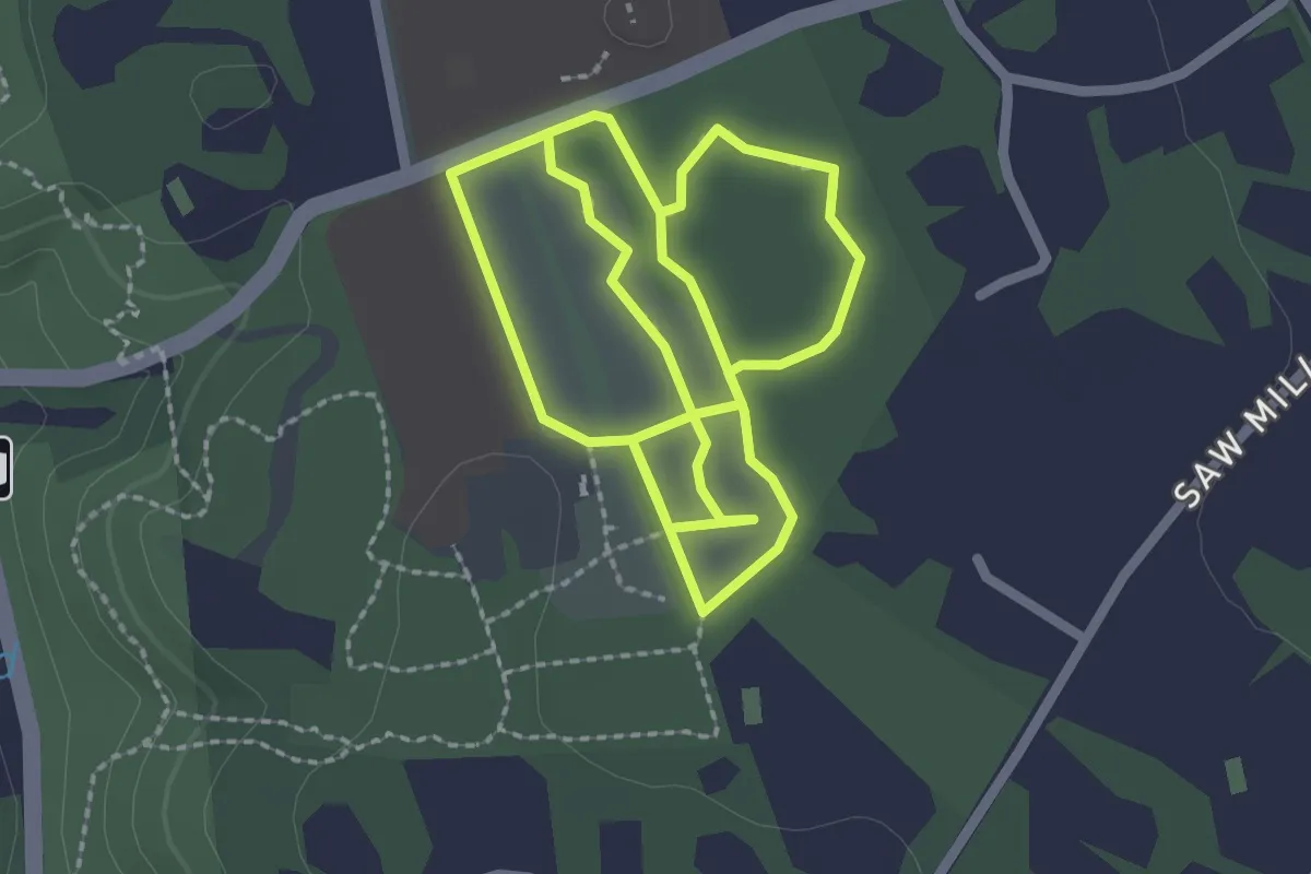
Easy · Trail
Daniel P. Davison Trail
2.6 km · ↑ 6 m · 40 min · 8 km away
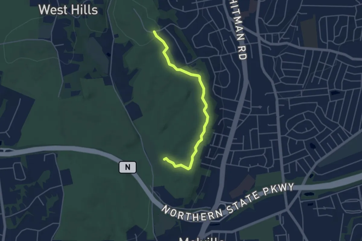
Easy · Trail
Blue Trail
4.4 km · ↑ 82 m · 1 h 13 min · 8 km away
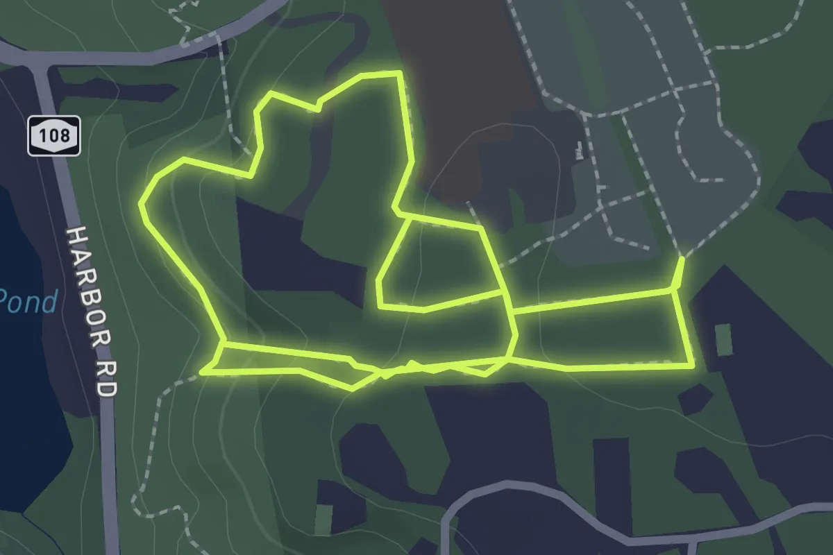
Easy · Trail
West Loop Trail
5.3 km · ↑ 107 m · 1 h 29 min · 8 km away
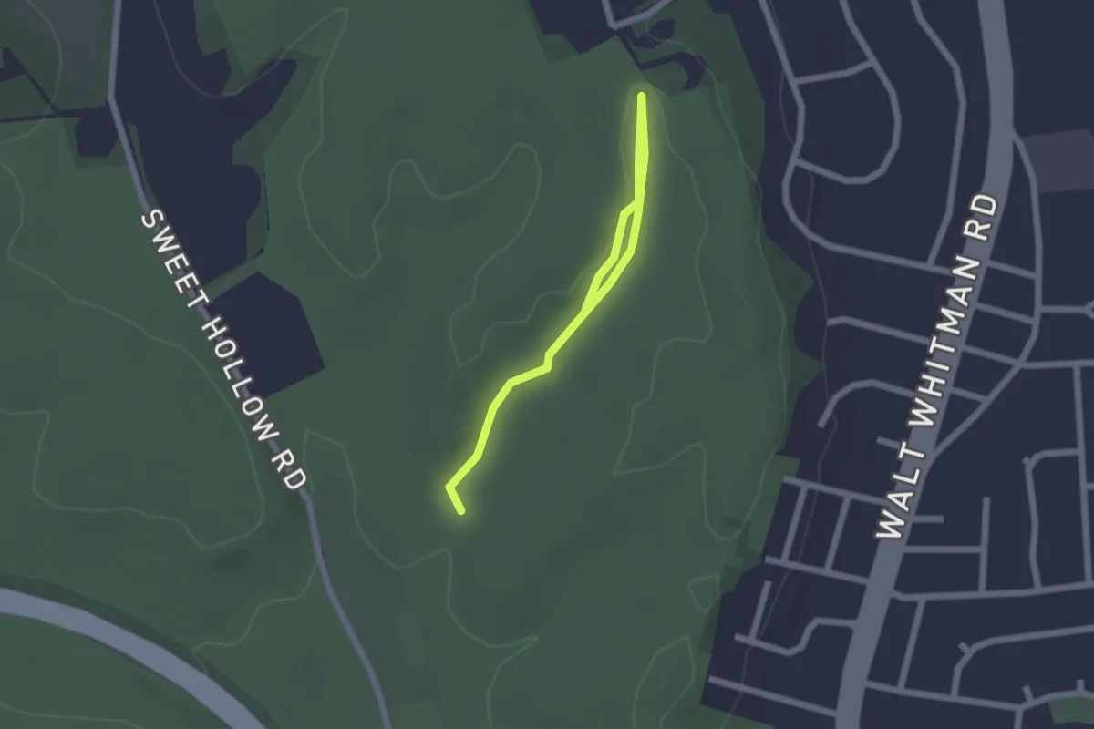
Easy · Trail
Sand Trail
2.4 km · ↑ 26 m · 37 min · 8 km away
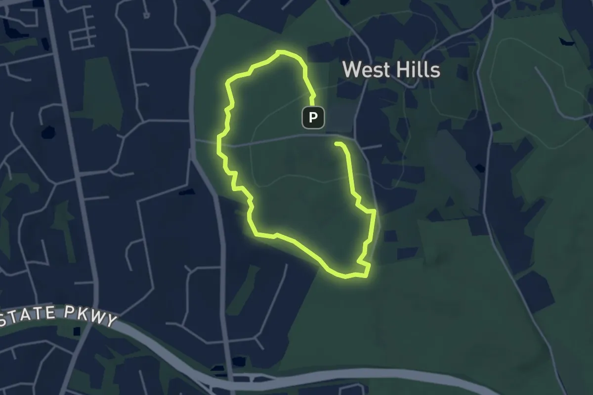
Easy · Trail
Red Dot Trail
6.2 km · ↑ 93 m · 1 h 39 min · 9 km away
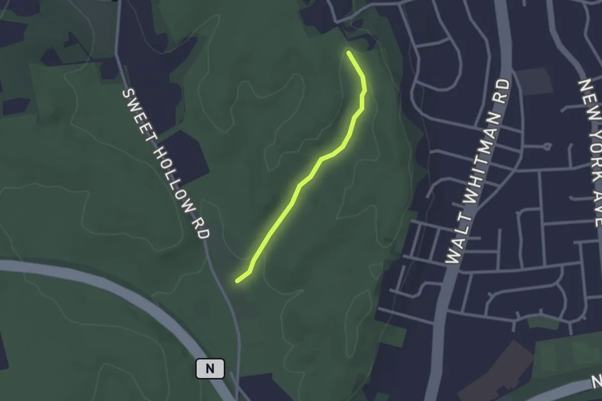
Easy · Trail
Main Trail
2.1 km · ↑ 23 m · 33 min · 9 km away
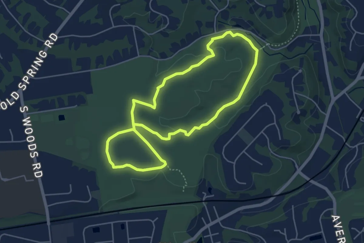
Easy · Trail
Old Sierra Club Loop
4.4 km · ↑ 38 m · 1 h 12 min · 10 km away
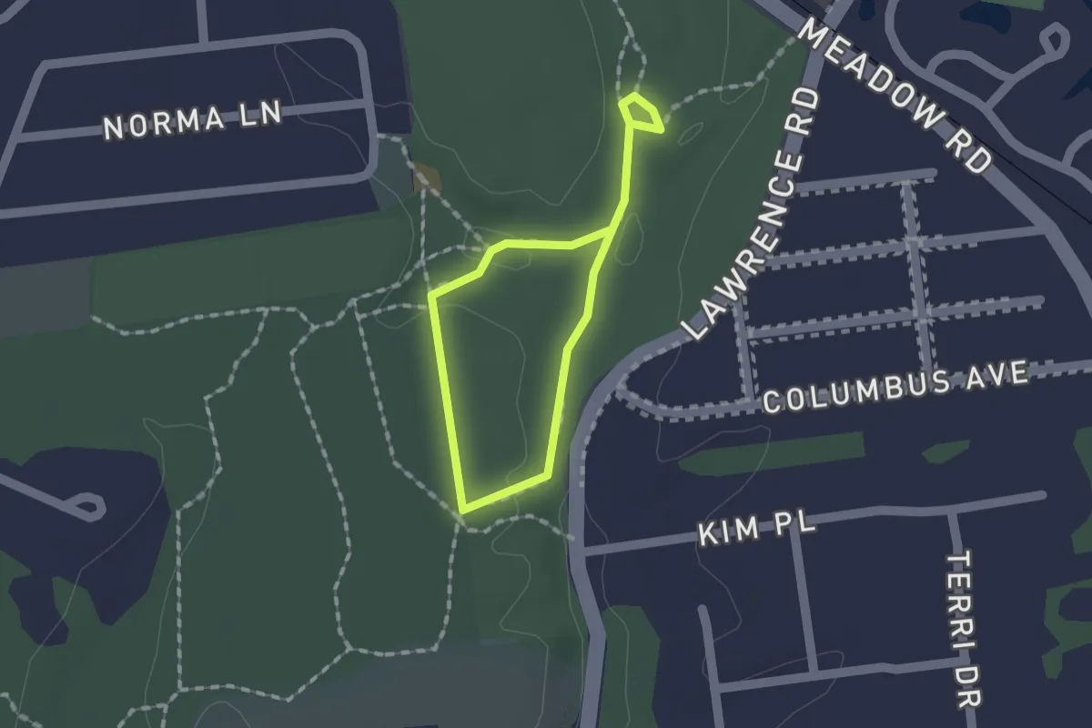
Easy · Trail
Blue Trail
1.1 km · ↑ 13 m · 18 min · 10 km away
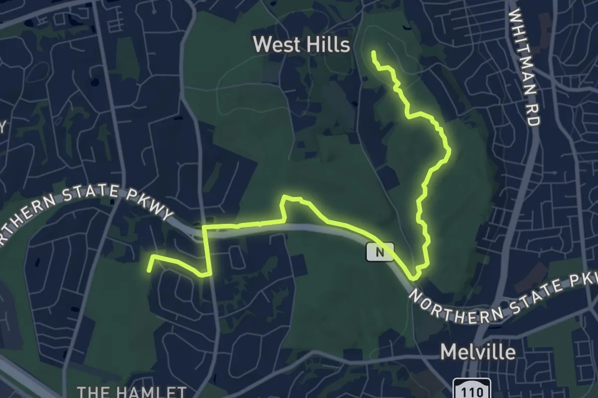
Medium · Summit
Walt Whitman Trail
11.6 km · ↑ 168 m · 3 h 6 min · 10 km away
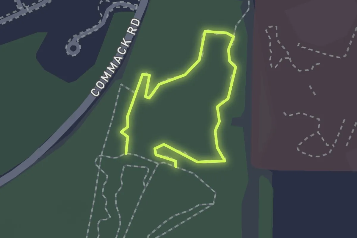
Easy · Trail
Loop 10 Yellow
1.1 km · ↑ 0 m · 17 min · 10 km away
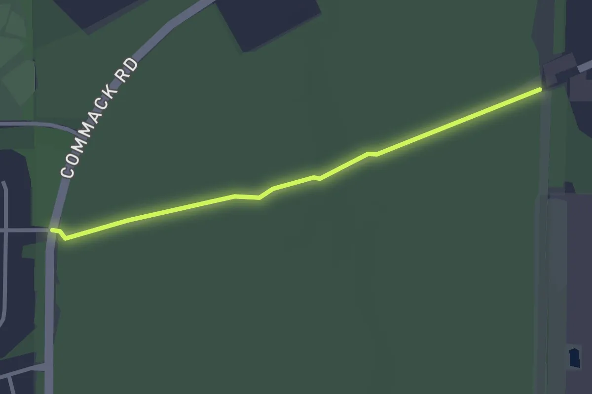
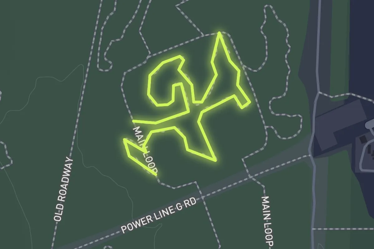
Easy · Trail
Power Line G Road
2.7 km · ↑ 4 m · 39 min · 11 km away
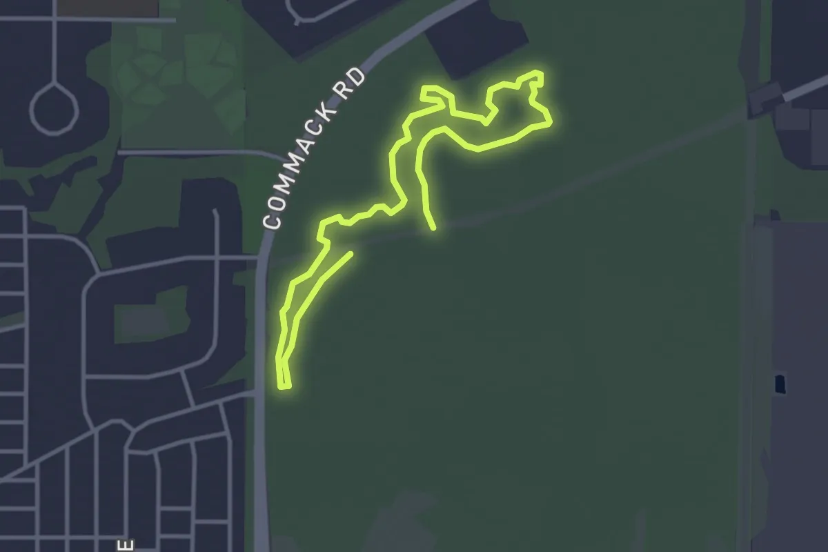
Easy · Trail
Loop 11
1.2 km · ↑ 0 m · 18 min · 11 km away
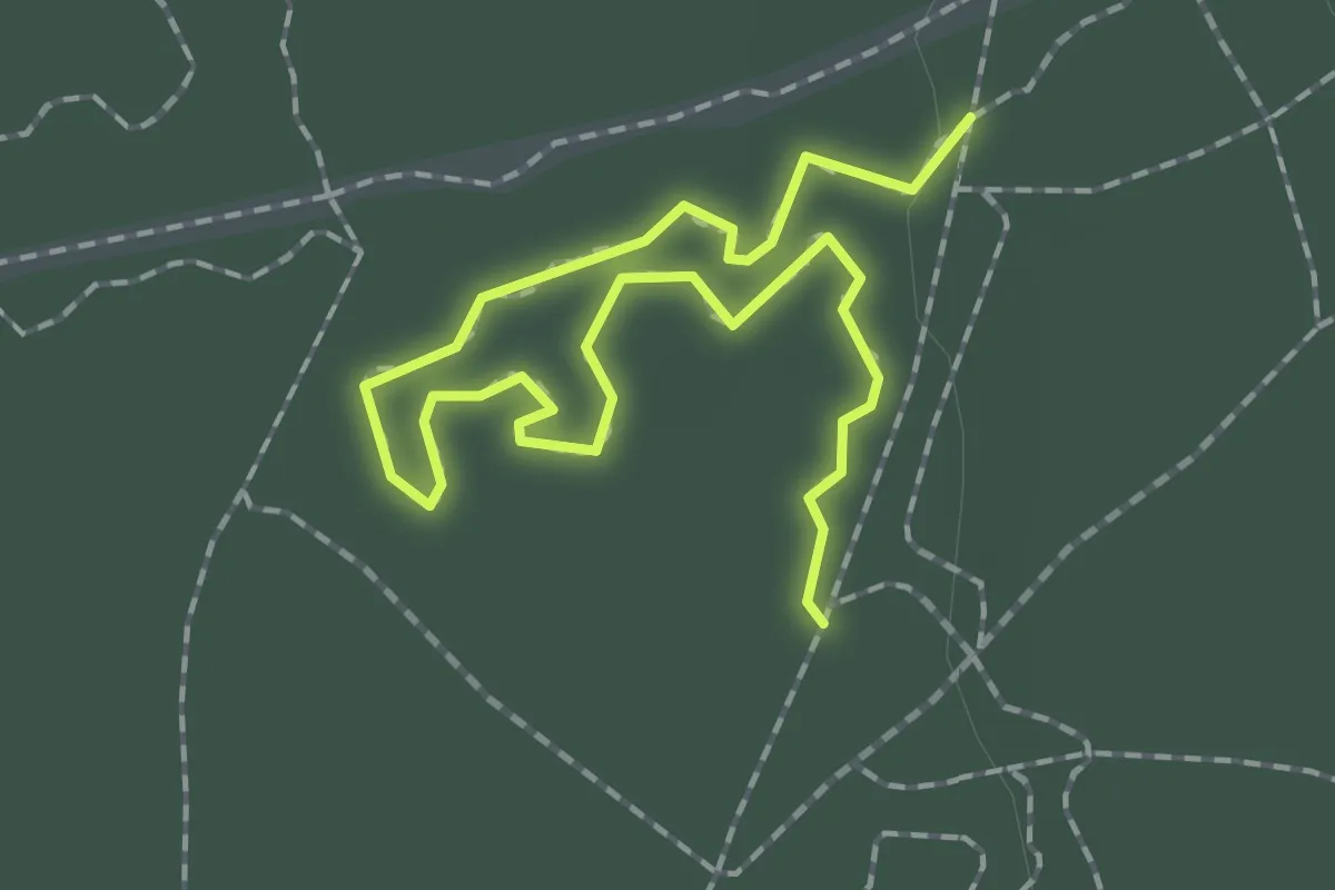
Easy · Trail
Loop 13 Blue
5.8 km · ↑ 11 m · 1 h 24 min · 11 km away
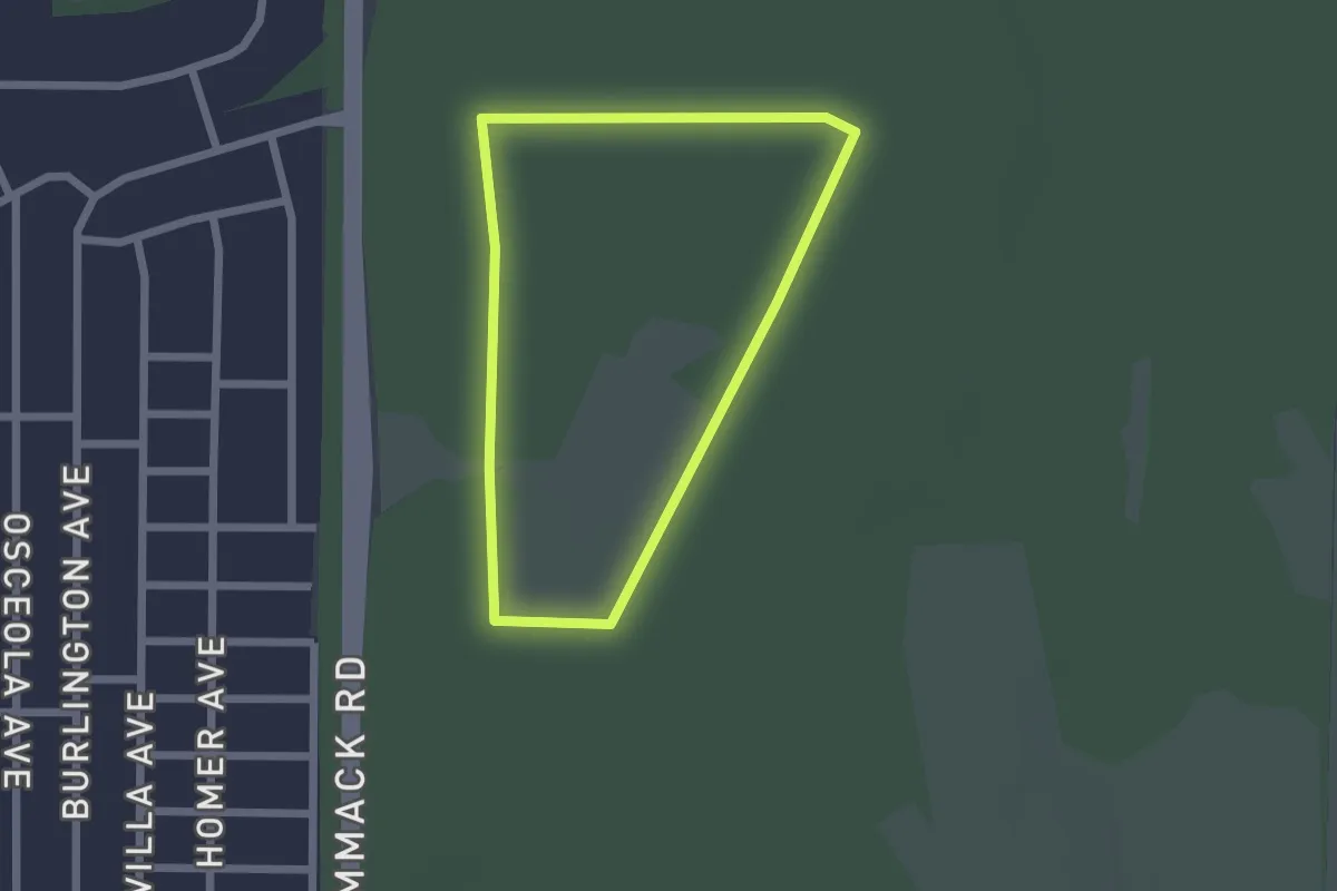
Easy · Trail
Loop 12
2.6 km · ↑ 5 m · 37 min · 11 km away
Easy · Trail
Greenway Loop
2.0 km · ↑ 0 m · 30 min · 11 km away
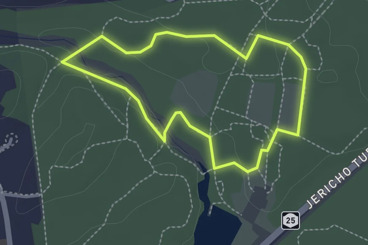
Easy · Trail
Green Trail
2.3 km · ↑ 10 m · 35 min · 11 km away
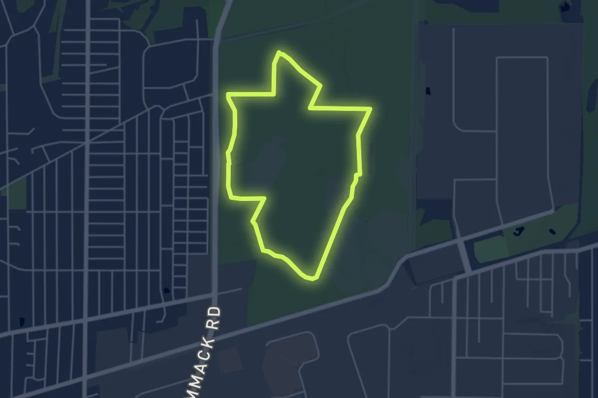
Easy · Trail
Hiking Loop
4.4 km · ↑ 4 m · 1 h 6 min · 11 km away
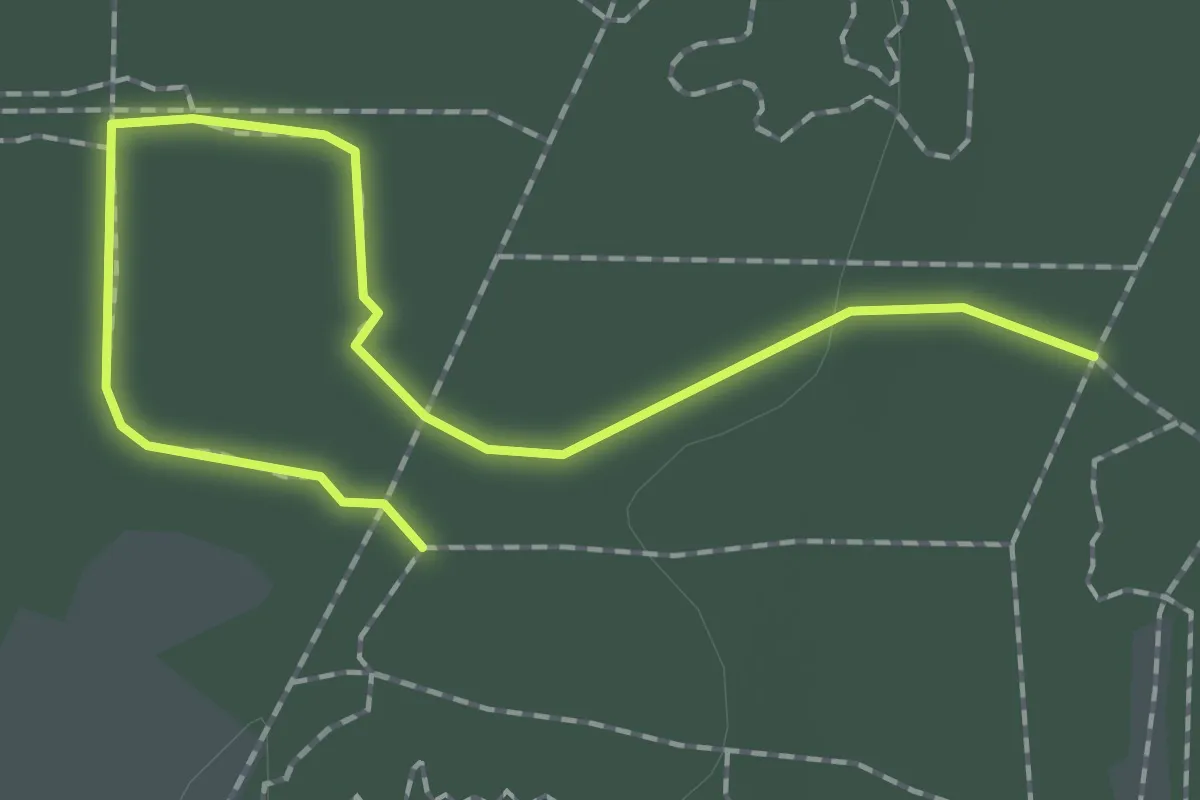
Easy · Trail
Loop 7 Yellow
2.4 km · ↑ 4 m · 34 min · 11 km away
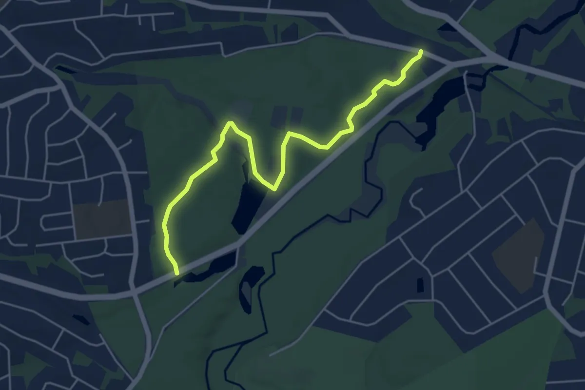
Easy · Trail
Greenbelt Trail
5.5 km · ↑ 61 m · 1 h 26 min · 11 km away
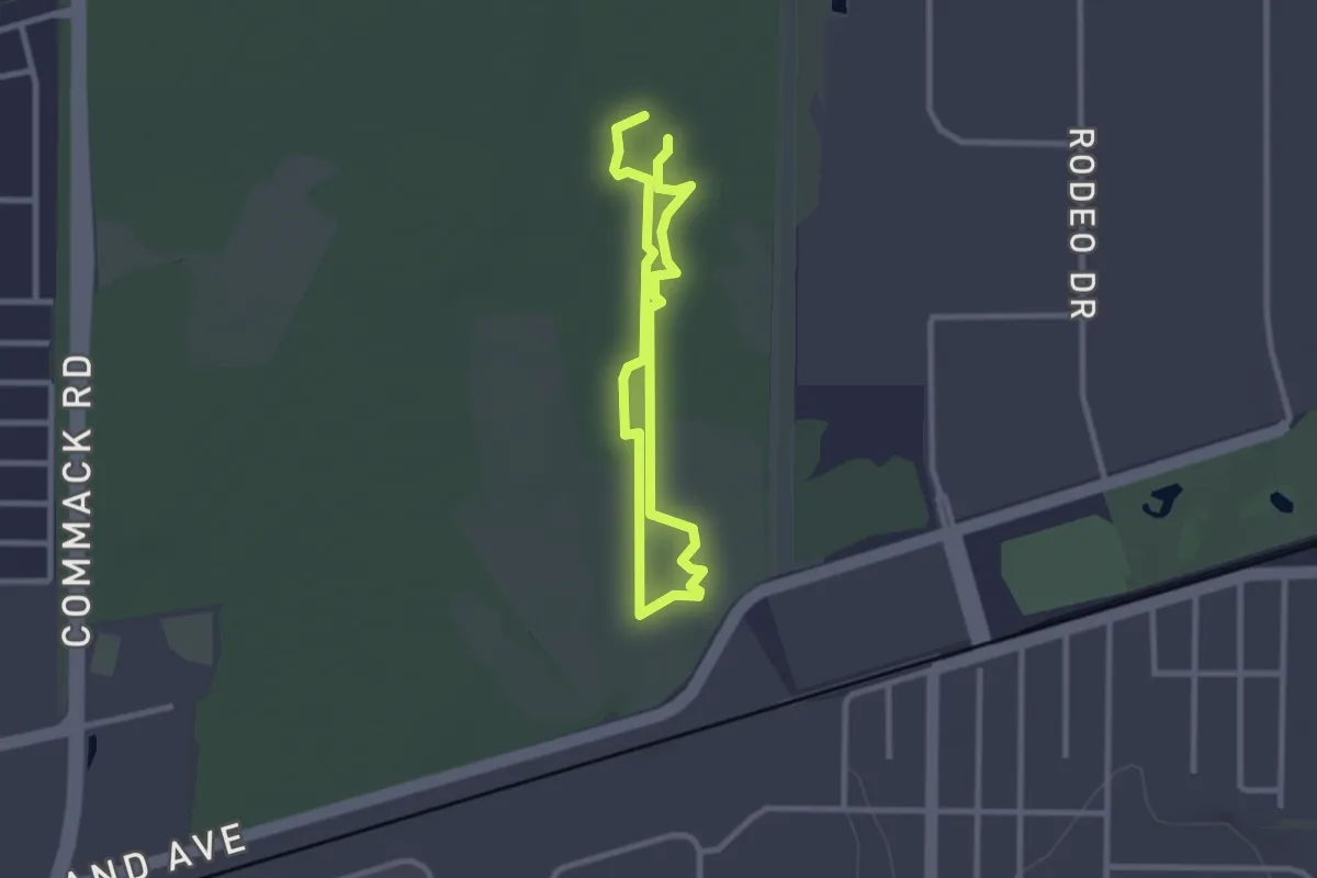
Easy · Trail
Loop 8 Red
2.3 km · ↑ 4 m · 35 min · 12 km away
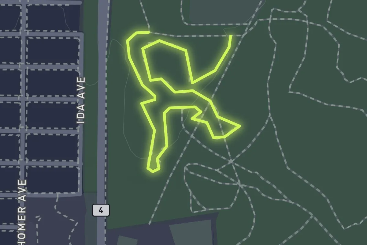
Easy · Trail
Loop 1 Yellow
2.9 km · ↑ 0 m · 41 min · 12 km away
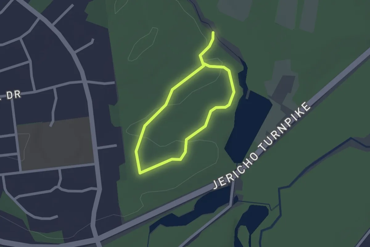
Easy · Trail
Orange Trail
1.4 km · ↑ 22 m · 24 min · 12 km away
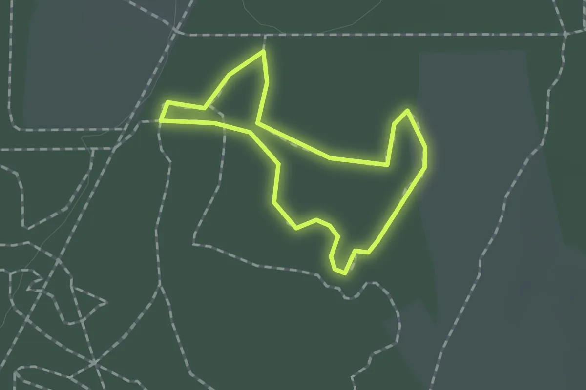
Easy · Trail
Loop 2 Yellow
1.2 km · ↑ 0 m · 18 min · 12 km away
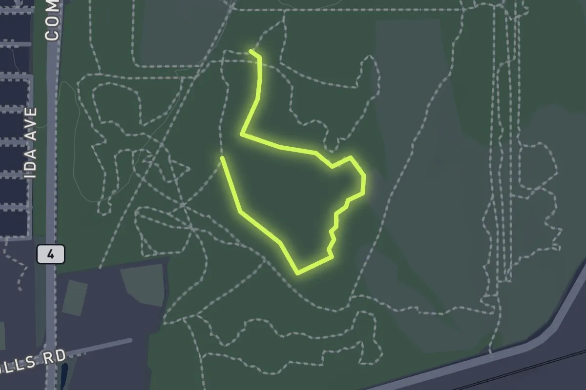
Easy · Trail
Loop 3 Blue
2.3 km · ↑ 0 m · 32 min · 12 km away
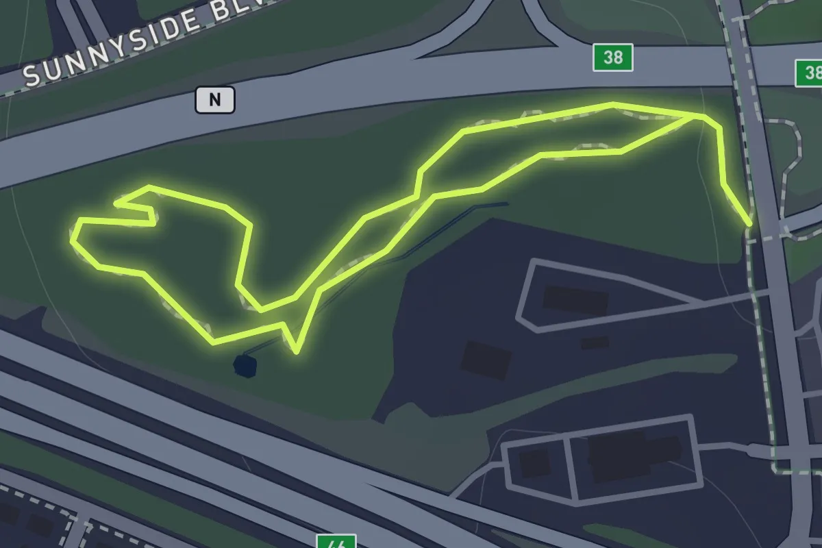
Easy · Trail
Lollipop Loop
1.1 km · ↑ 18 m · 19 min · 12 km away
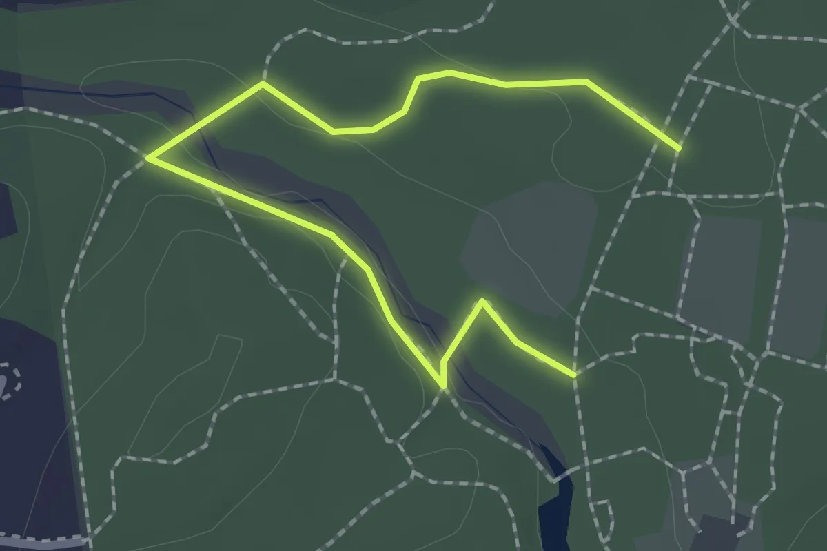
Easy · Trail
Blue Trail
2.7 km · ↑ 18 m · 40 min · 12 km away
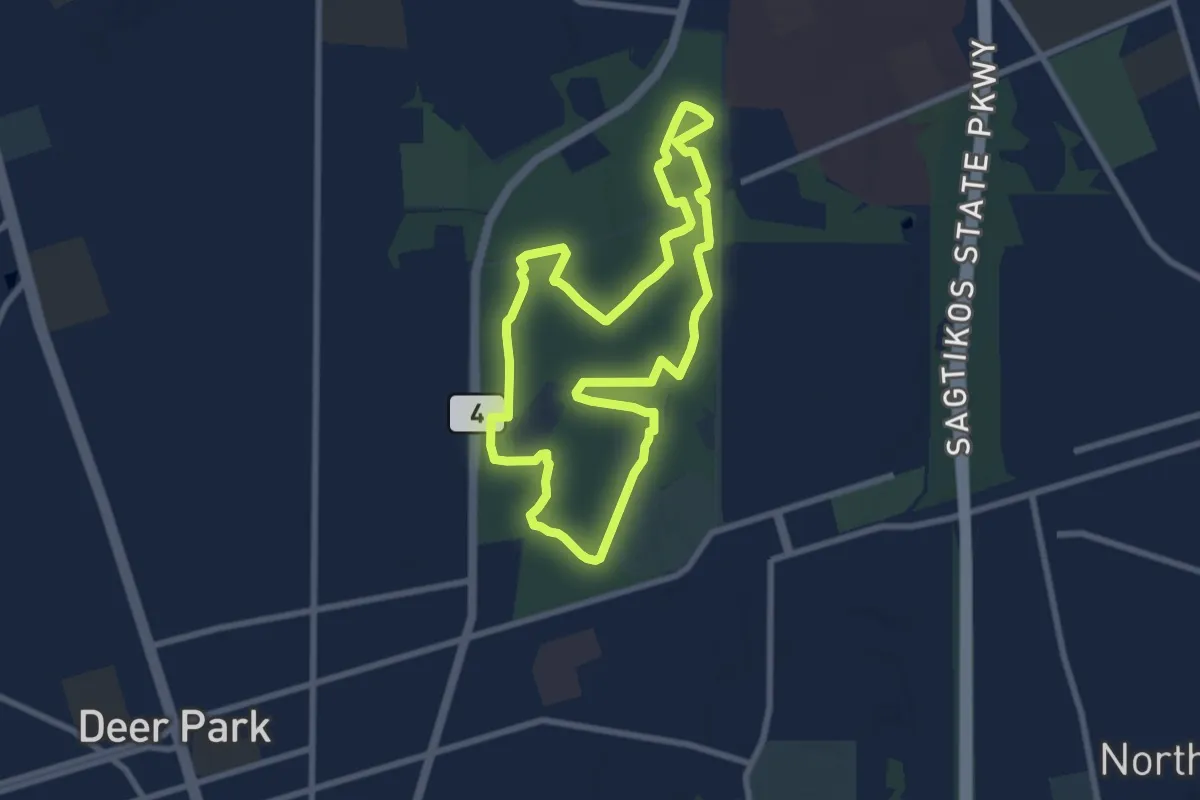
Medium · Trail
Main Loop
8.3 km · ↑ 8 m · 2 h 6 min · 12 km away
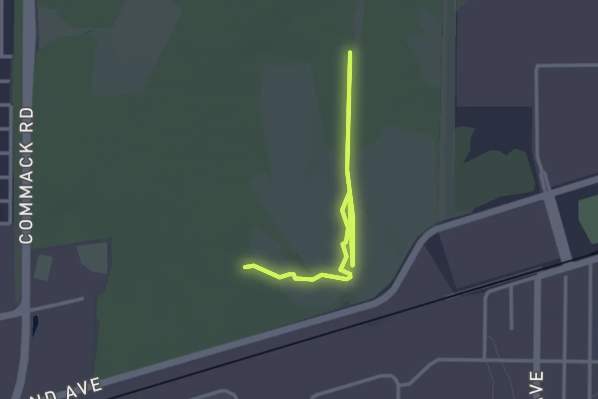
Easy · Trail
Avoid Mud 2
3.0 km · ↑ 0 m · 43 min · 12 km away
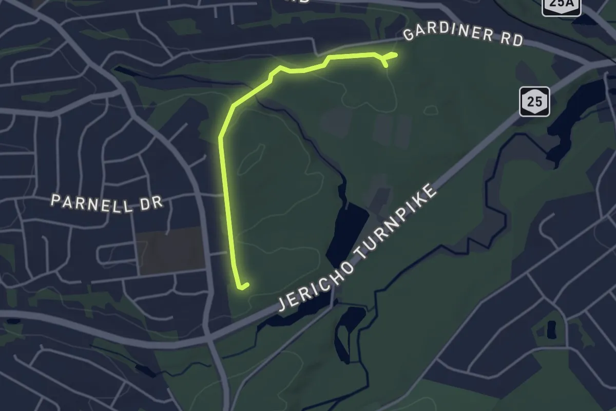
Easy · Trail
Fire Road
3.5 km · ↑ 58 m · 58 min · 12 km away
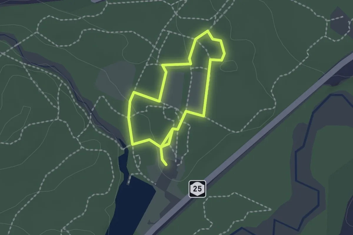
Easy · Trail
Yellow Trail
1.6 km · ↑ 13 m · 26 min · 12 km away
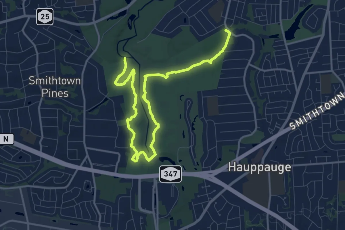
Medium · Trail
Blydenburgh Blue Trail
13.5 km · ↑ 32 m · 3 h 15 min · 12 km away
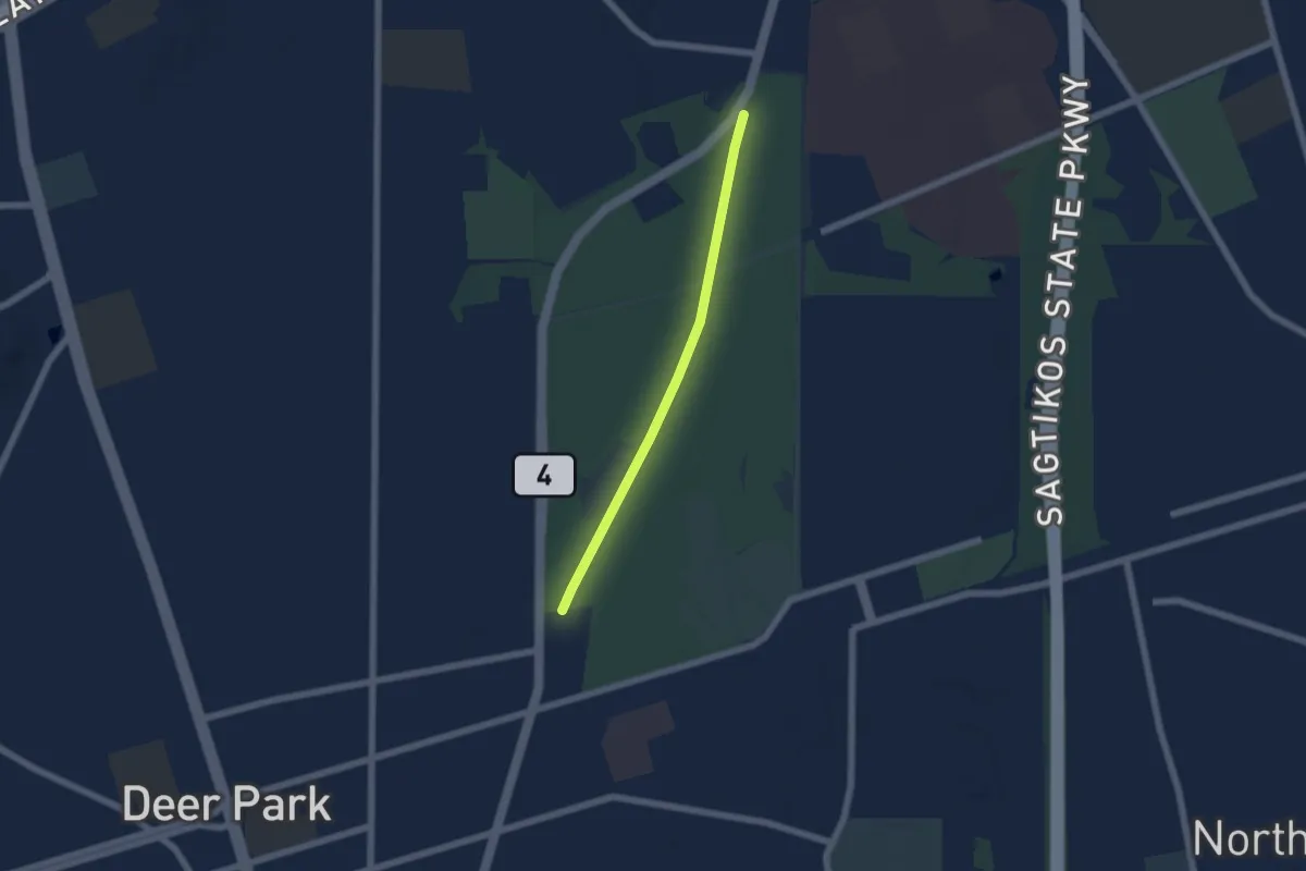
Easy · Trail
Old Roadway
5.3 km · ↑ 4 m · 1 h 16 min · 12 km away
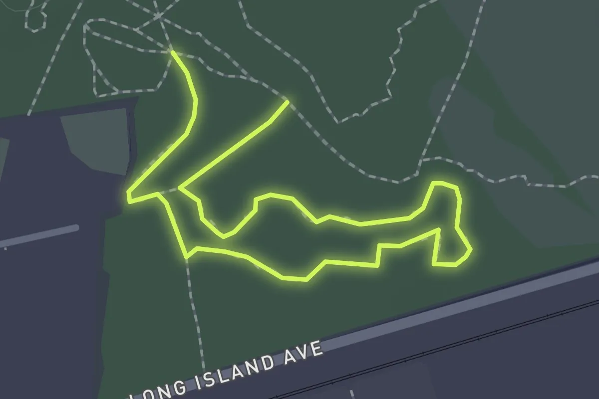
Easy · Trail
Loop 5 Yellow
3.5 km · ↑ 4 m · 49 min · 12 km away
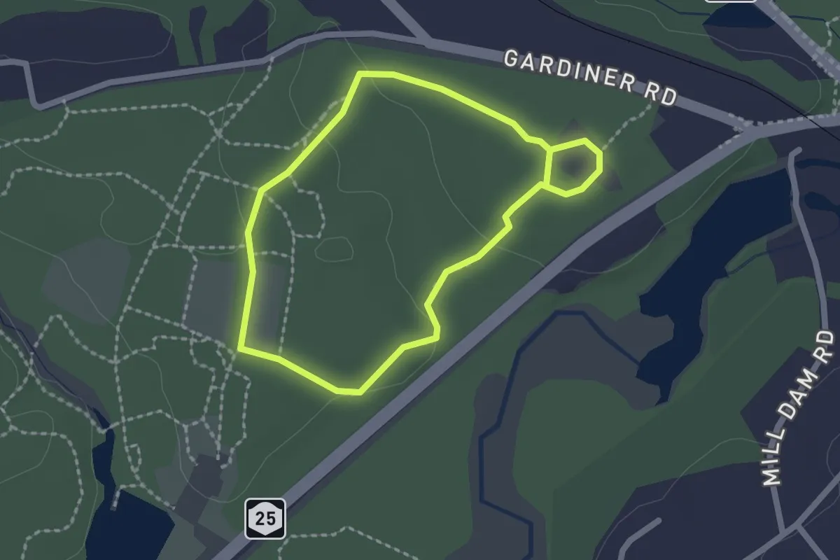
Easy · Trail
Red Trail
1.9 km · ↑ 19 m · 31 min · 12 km away
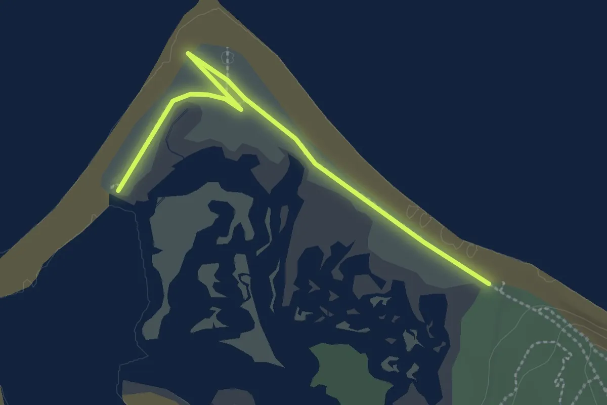
Easy · Trail
Plank Road Trail
2.9 km · ↑ 0 m · 42 min · 13 km away
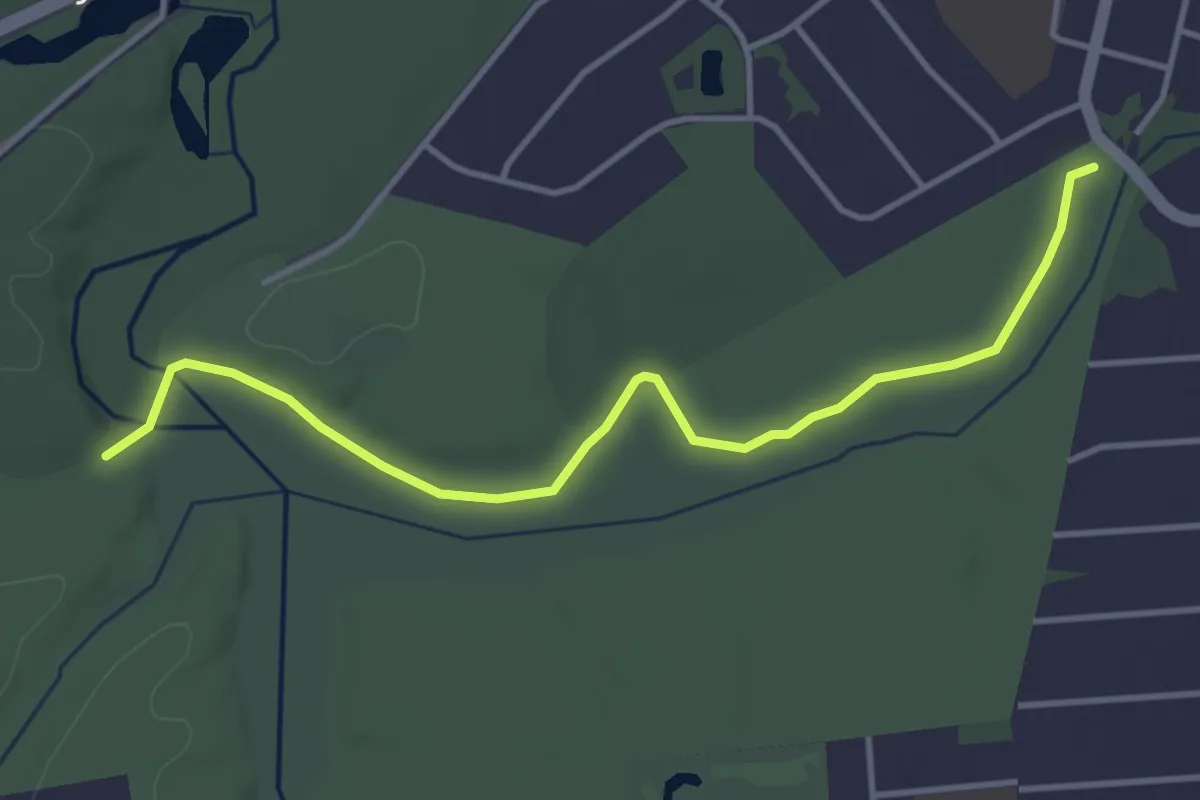
Easy · Trail
White Trail
4.6 km · ↑ 10 m · 1 h 7 min · 13 km away
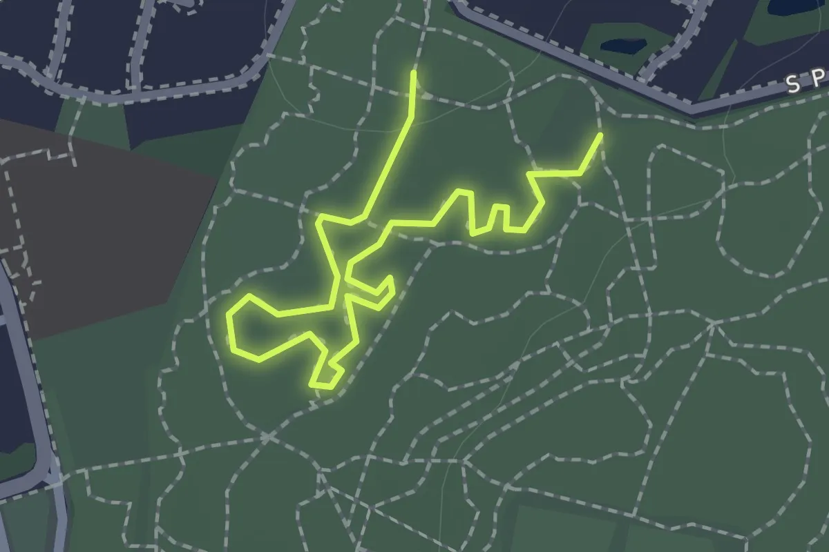
Easy · Trail
Purple Peaks Trail
2.7 km · ↑ 4 m · 39 min · 15 km away