Trails near Kent Hills
25 hikes starting within 15 km, nearest first.
Nearest first
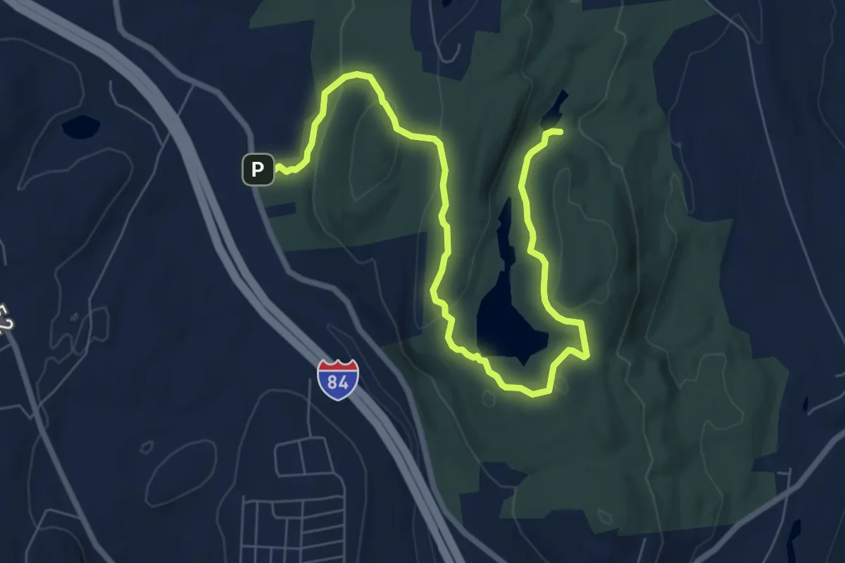
Medium · Trail
Yellow Trail
9.5 km · ↑ 261 m · 2 h 49 min · 2 km away
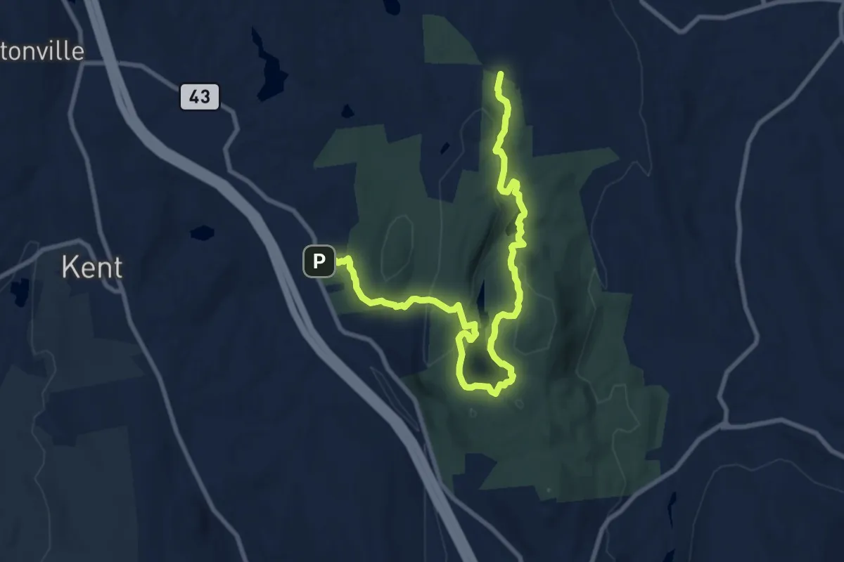
Medium · Trail
Highlands Trail
11.4 km · ↑ 329 m · 3 h 24 min · 2 km away
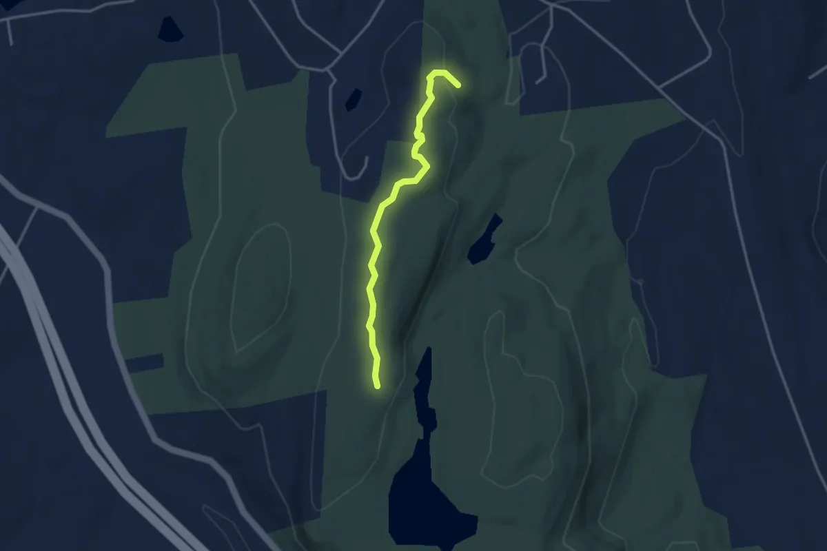
Easy · Trail
Blue Trail
3.1 km · ↑ 55 m · 51 min · 3 km away
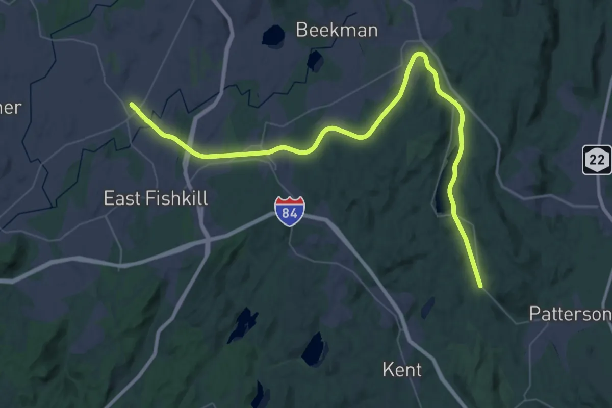
Demanding · Trail
Hudson Valley Greenway Trail (Pawling to Hopewell Junction)
23.9 km · ↑ 72 m · 6 h 11 min · 4 km away
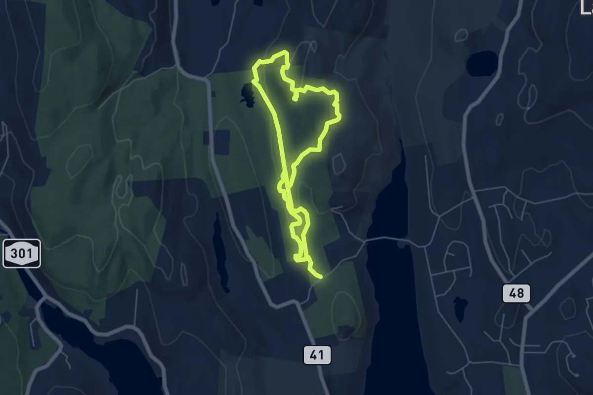
Medium · Trail
blue
10.4 km · ↑ 215 m · 2 h 55 min · 6 km away
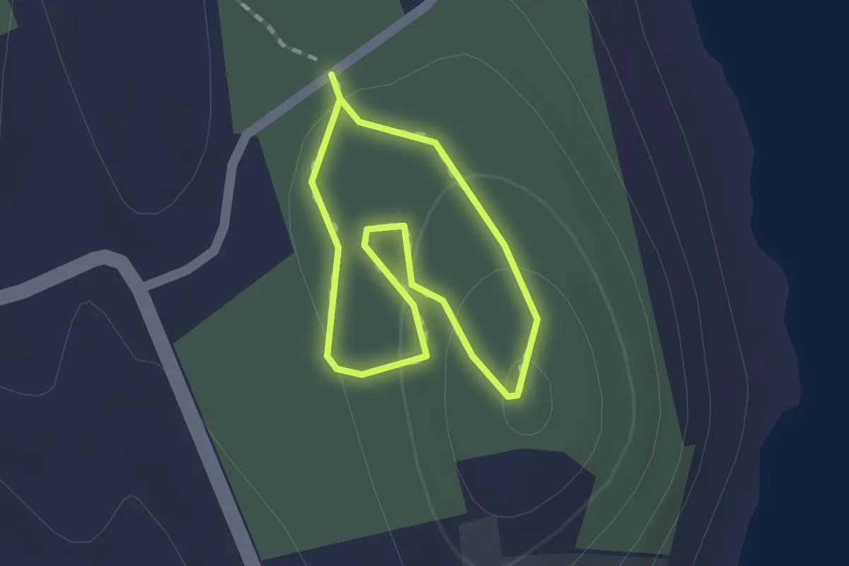
Easy · Trail
Yellow Trail
1.2 km · ↑ 35 m · 22 min · 6 km away
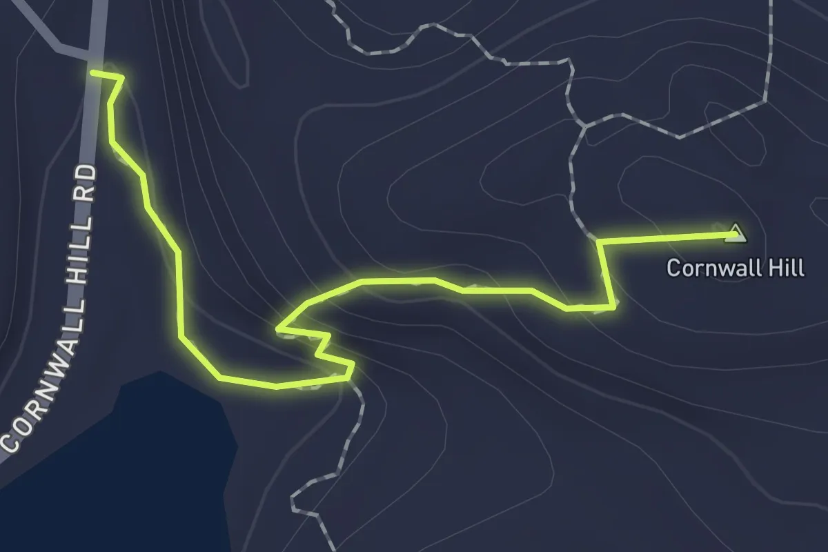
Easy · Summit
Cliff Trail
2.0 km · ↑ 130 m · 46 min · 7 km away
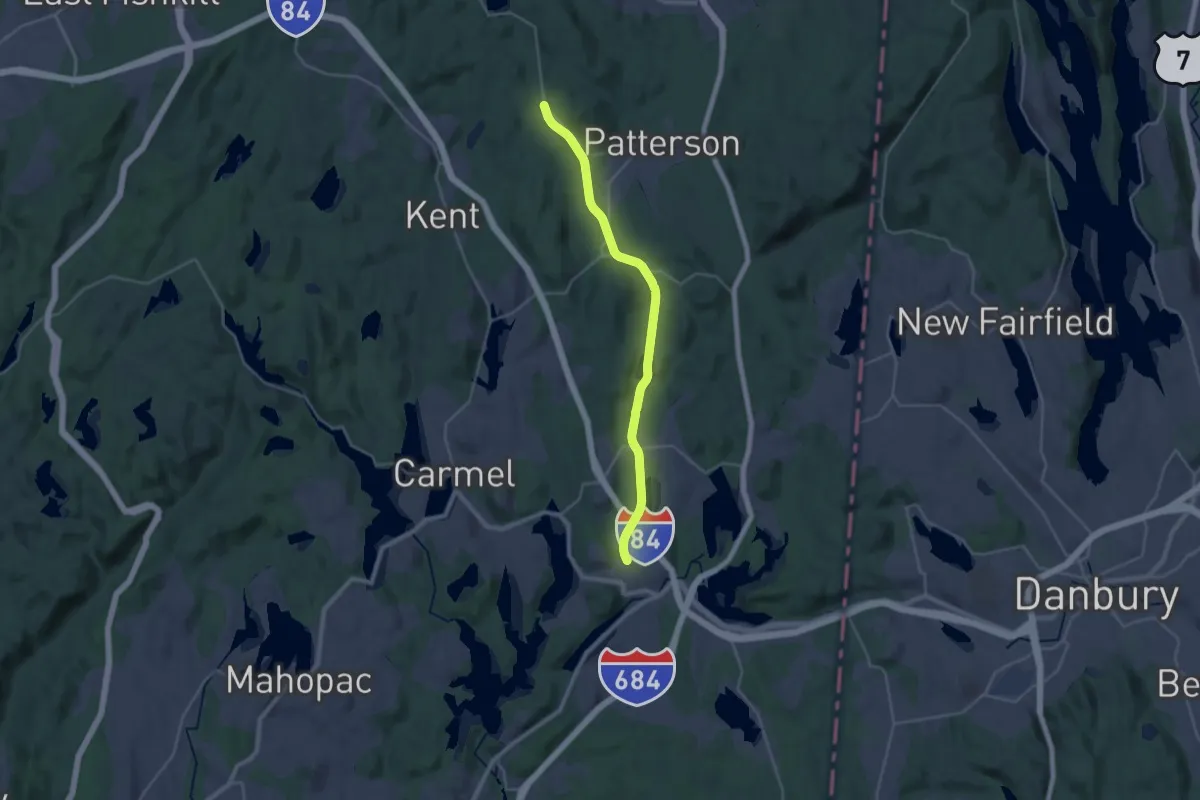
Demanding · Trail
Hudson Valley Greenway Trail (Brewster to Pawling)
29.7 km · ↑ 100 m · 7 h 13 min · 11 km away
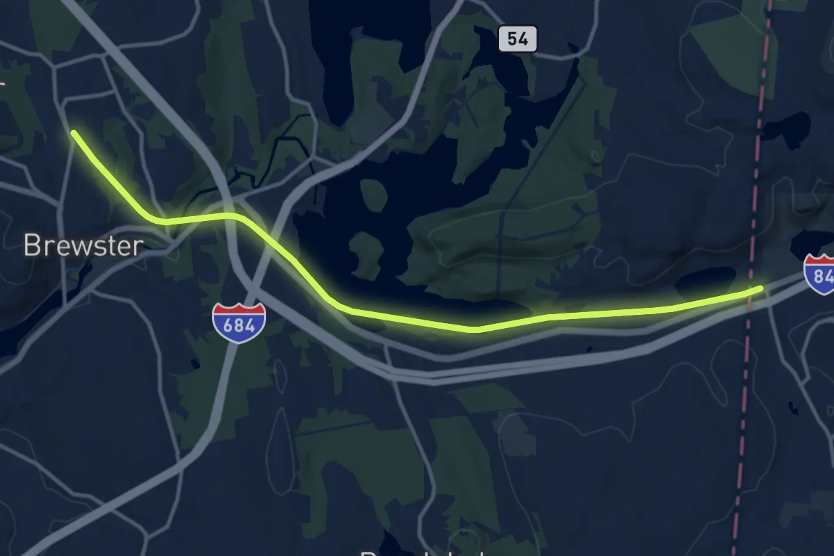
Medium · Trail
Maybrook Trailway (Putnam Trailway - CT Border)
14.3 km · ↑ 107 m · 3 h 37 min · 11 km away
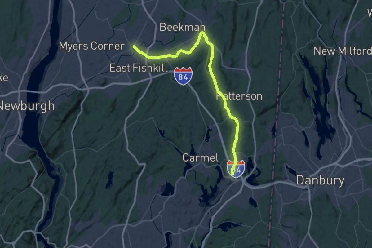
Demanding · Trail
Maybrook Trailway - hiking - Putnam Trailway to Hopewell Junction
38.4 km · ↑ 156 m · 9 h 57 min · 11 km away
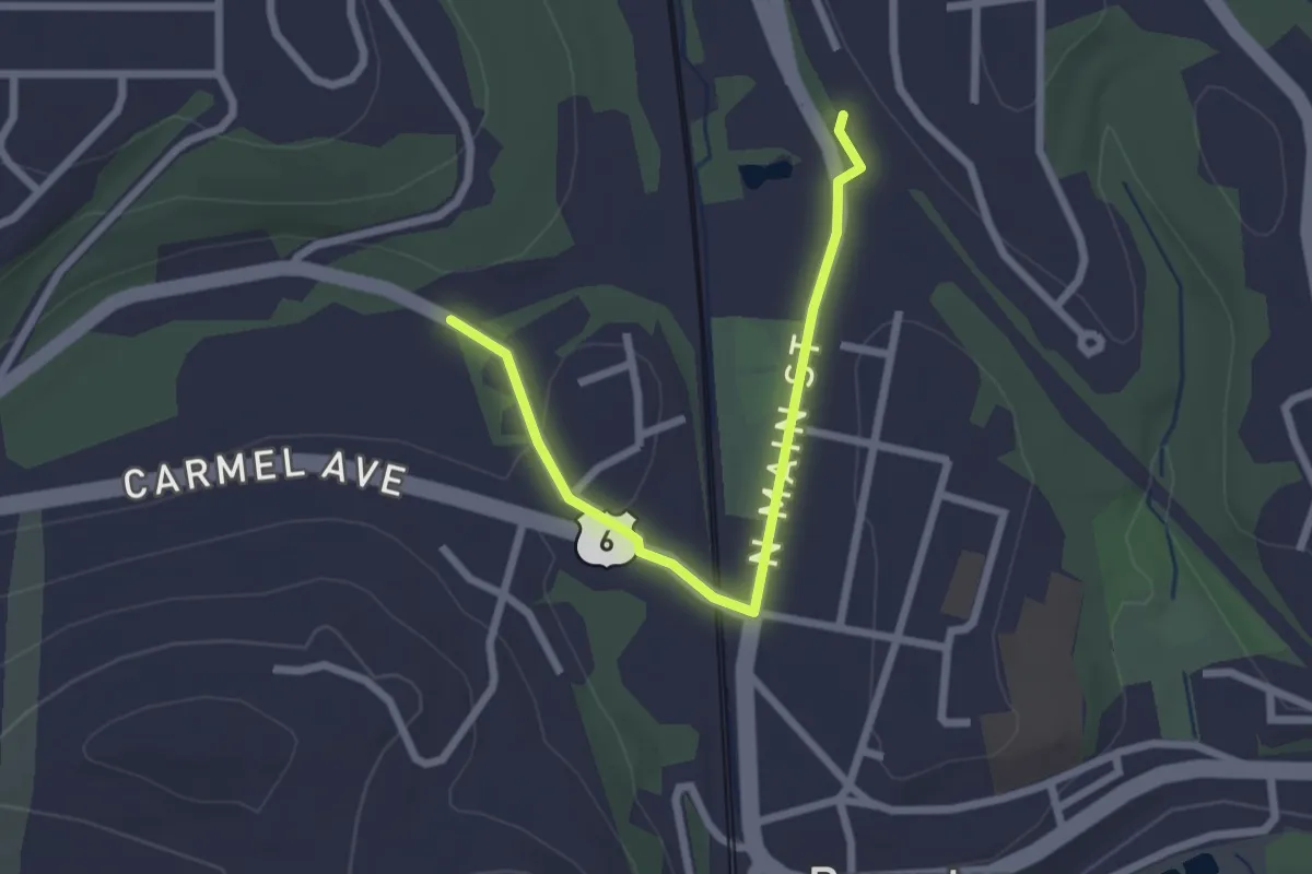
Easy · Trail
Hudson Valley Greenway Trail (Brewster Village)
2.6 km · ↑ 35 m · 42 min · 11 km away
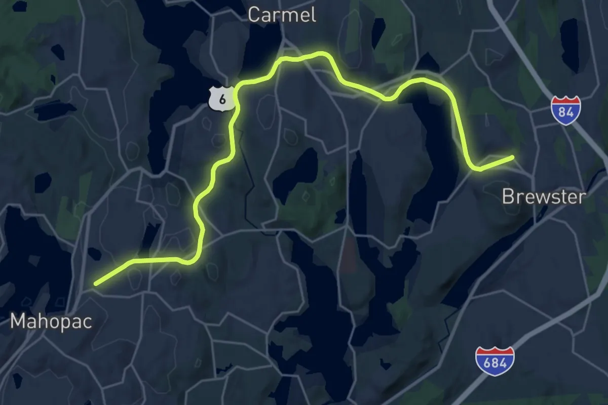
Demanding · Trail
Hudson Valley Greenway Trail (Mahopac to Brewster)
26.7 km · ↑ 225 m · 6 h 48 min · 11 km away
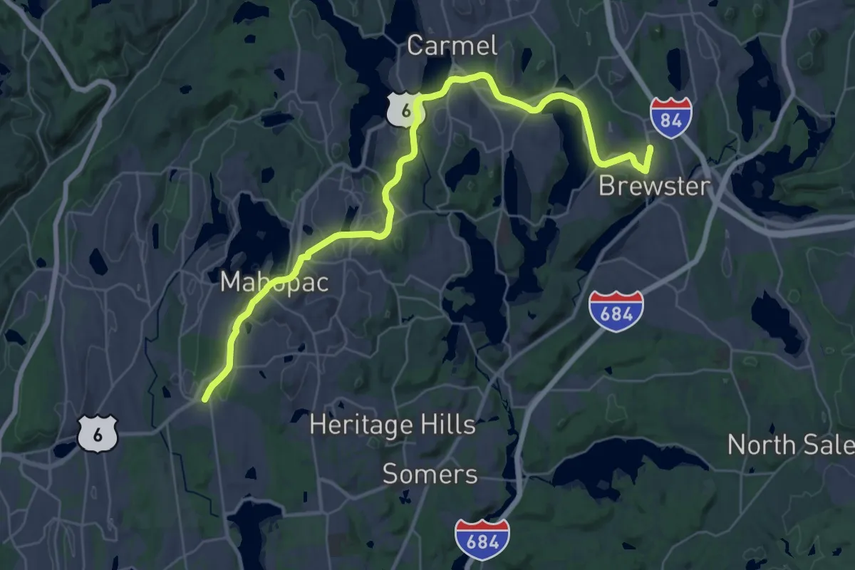
Demanding · Trail
Putnam County Trailway - hiking
19.5 km · ↑ 201 m · 5 h 17 min · 12 km away
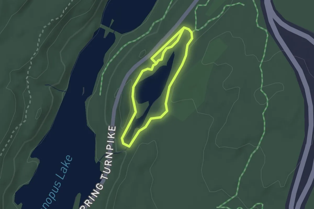
Easy · Trail
Pelton Pond Trail
3.7 km · ↑ 29 m · 56 min · 12 km away
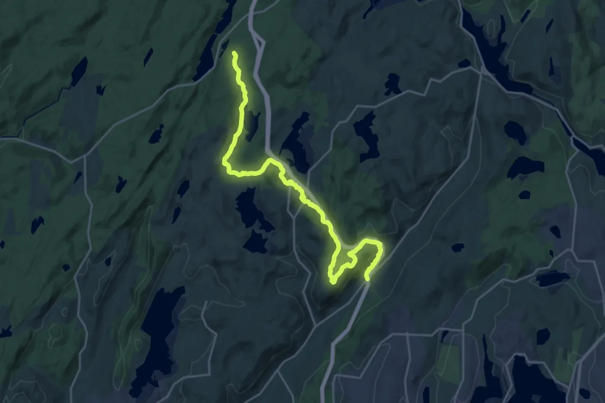
Demanding · Trail
Roaring Brook Trail
23.5 km · ↑ 681 m · 7 h 1 min · 13 km away
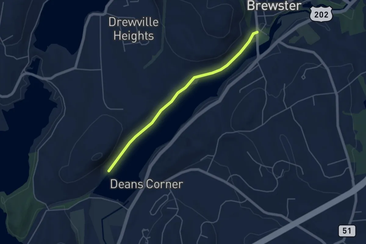
Easy · Trail
Diverting Reservoir Trail
4.7 km · ↑ 8 m · 1 h 7 min · 13 km away
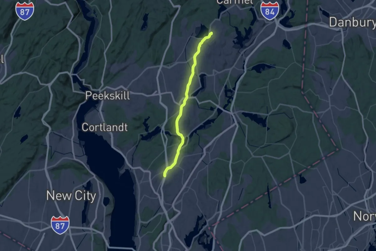
Demanding · Trail
Hudson Valley Greenway Trail (New Castle to Mahopac)
26.2 km · ↑ 129 m · 6 h 52 min · 13 km away
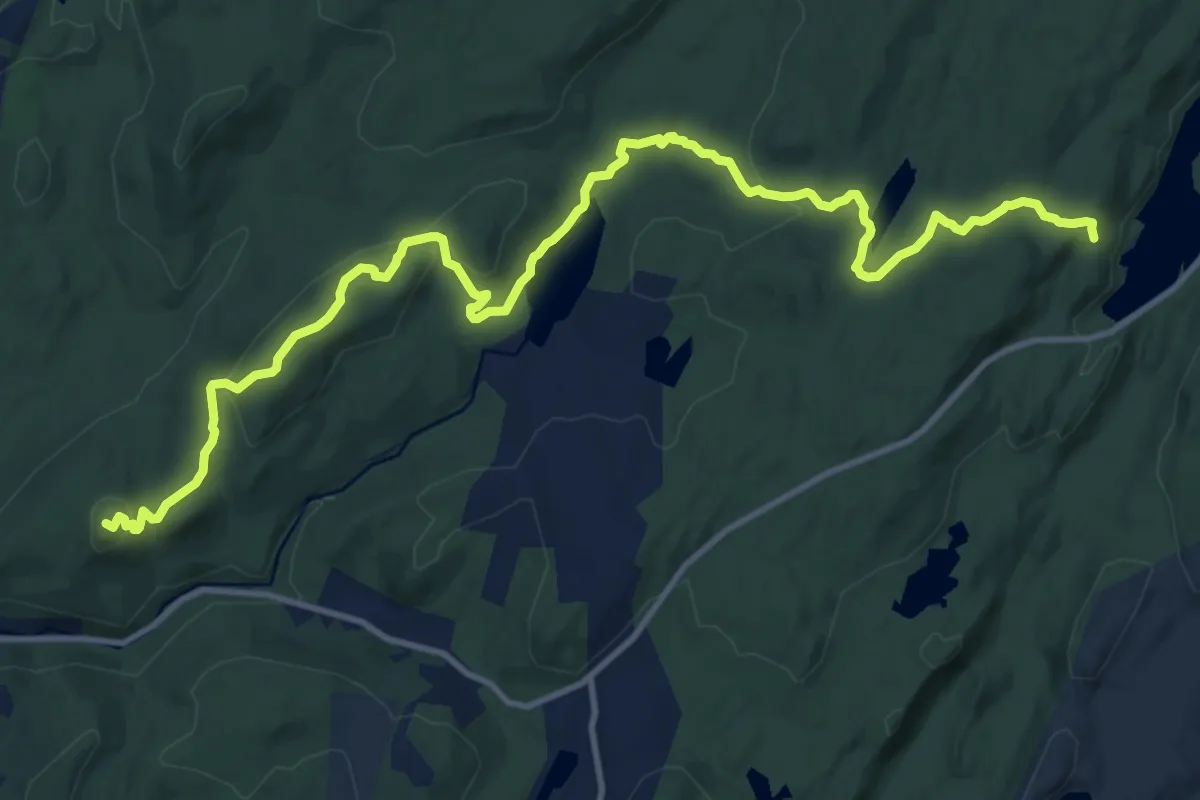
Medium · Summit
Fahnestock Trail
16.6 km · ↑ 501 m · 5 h · 14 km away
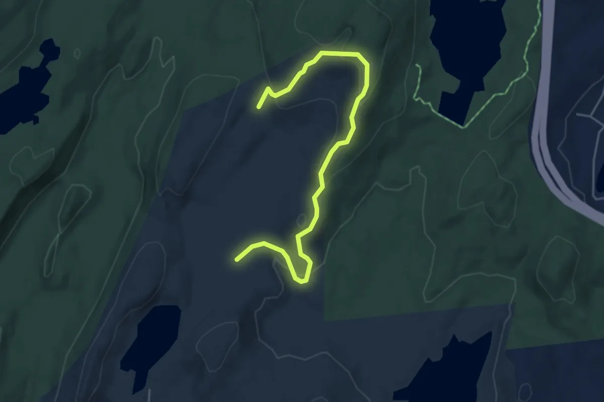
Easy · Trail
White Trail
5.1 km · ↑ 197 m · 1 h 38 min · 14 km away
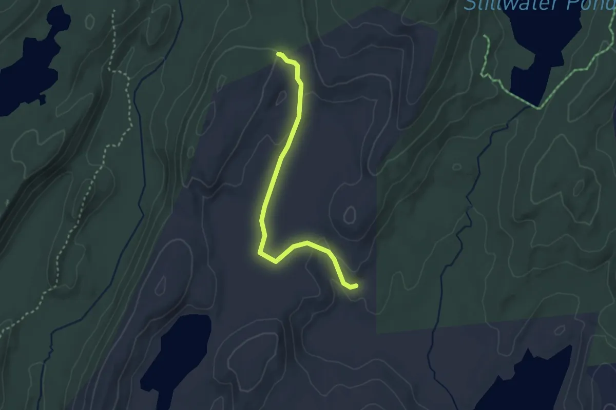
Easy · Trail
Blue Trail
3.1 km · ↑ 55 m · 51 min · 14 km away
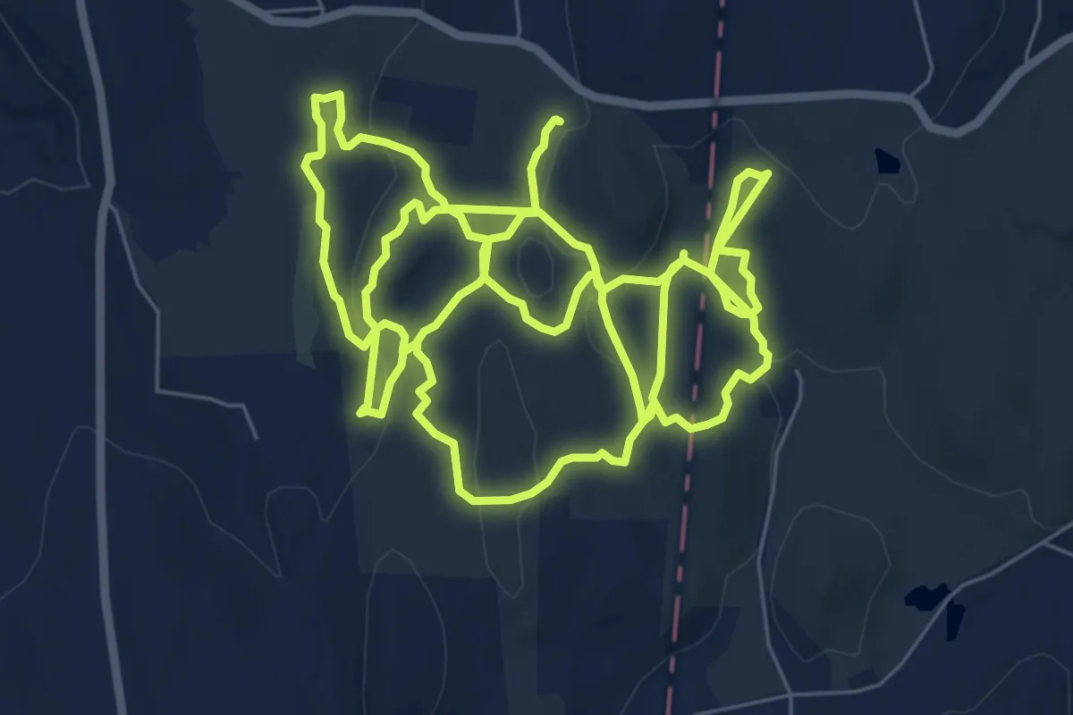
Demanding · Trail
Deer Pond Farm Trails
18.8 km · ↑ 468 m · 5 h 27 min · 14 km away
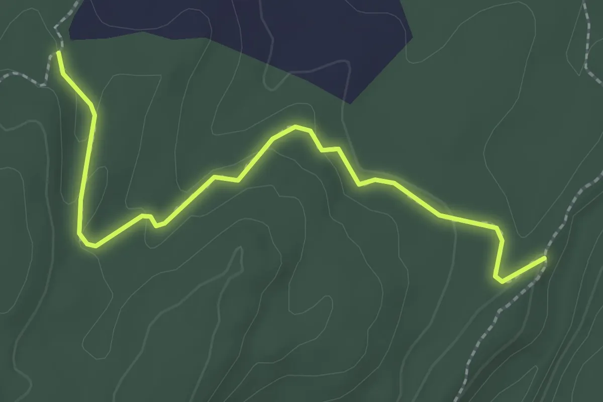
Easy · Trail
Wiccopee Trail
2.7 km · ↑ 53 m · 46 min · 15 km away
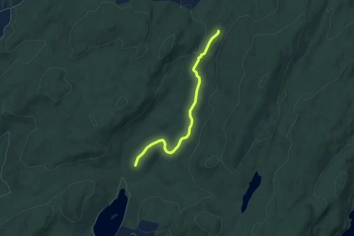
Easy · Trail
Clove Creek Trail
4.8 km · ↑ 56 m · 1 h 15 min · 15 km away
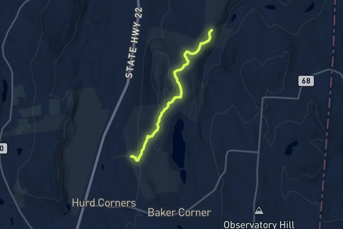
Medium · Trail
White Trail
8.8 km · ↑ 250 m · 2 h 37 min · 15 km away
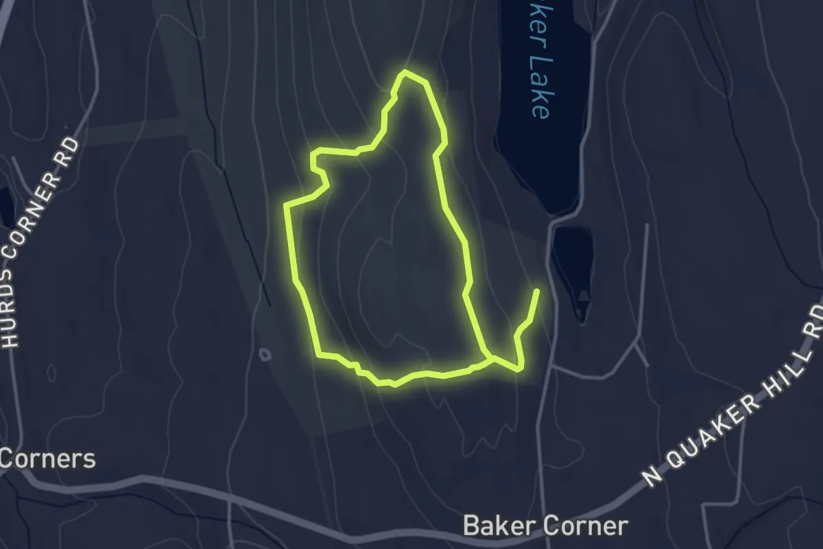
Easy · Trail
Blue Trail
6.5 km · ↑ 219 m · 2 h · 15 km away