Trails near Killingworth
61 hikes starting within 15 km, nearest first.
Nearest first, page 1 of 2
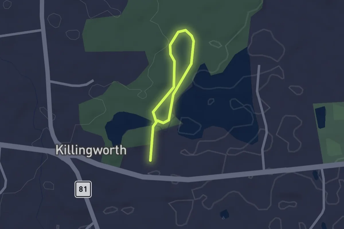
Easy · Trail
Sensory Interpretive Trail
2.2 km · ↑ 29 m · 35 min · under 1 km away
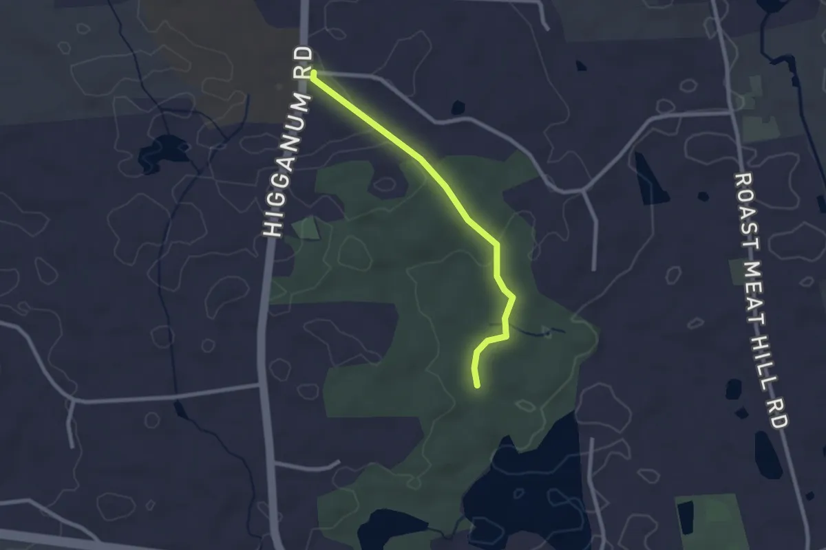
Easy · Trail
Wolf Hollow Trail
2.4 km · ↑ 47 m · 40 min · 1 km away
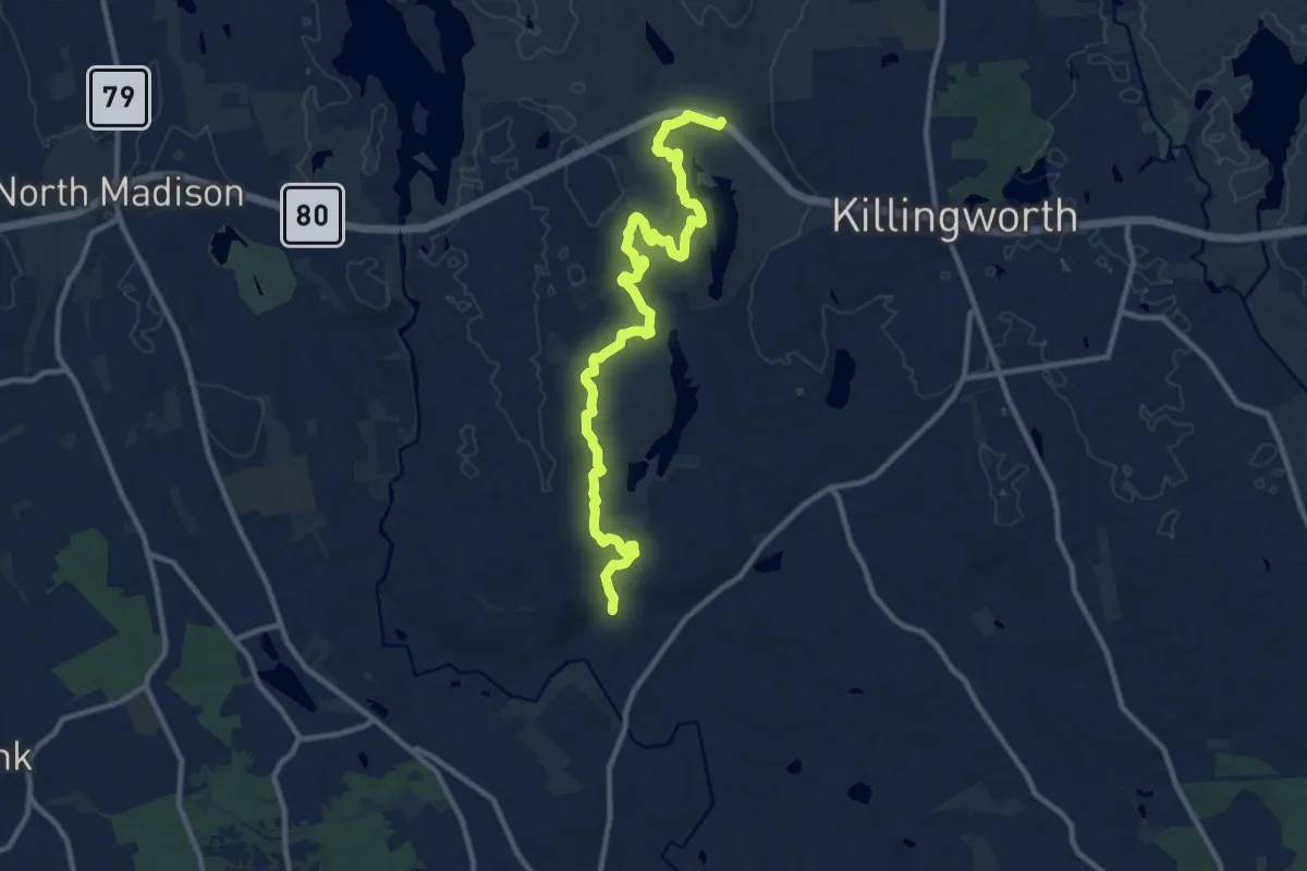
Medium · Trail
Chatfield Trail
13.5 km · ↑ 317 m · 3 h 53 min · 2 km away
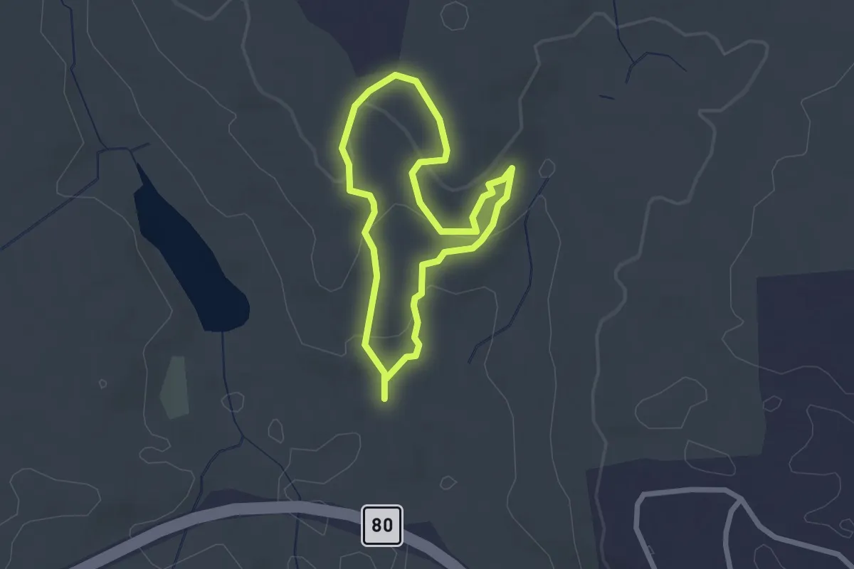
Easy · Trail
Lookout Trail
2.0 km · ↑ 95 m · 42 min · 2 km away
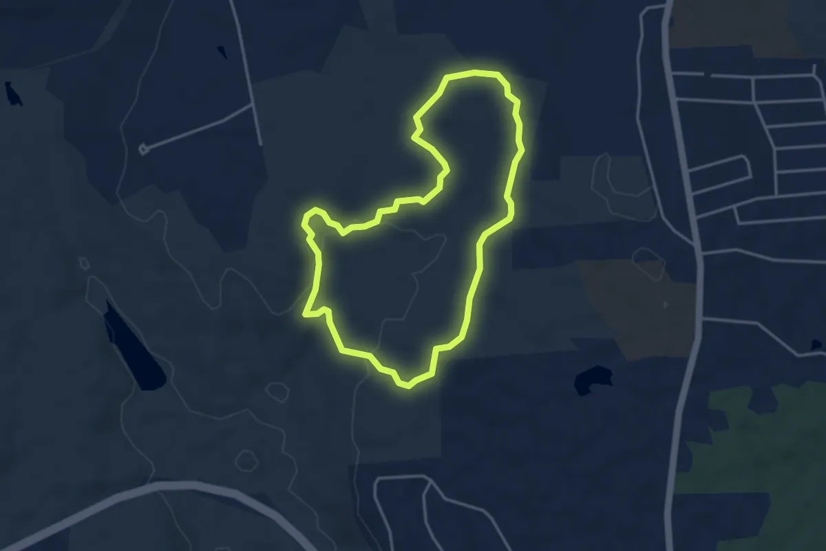
Easy · Trail
East Woods Trail
3.7 km · ↑ 118 m · 1 h 10 min · 2 km away
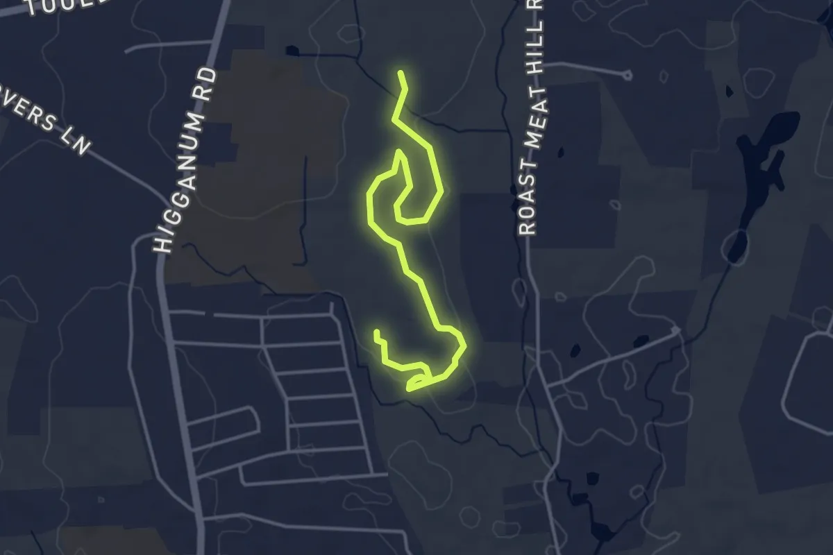
Easy · Trail
Bosco Trail
4.6 km · ↑ 64 m · 1 h 14 min · 2 km away
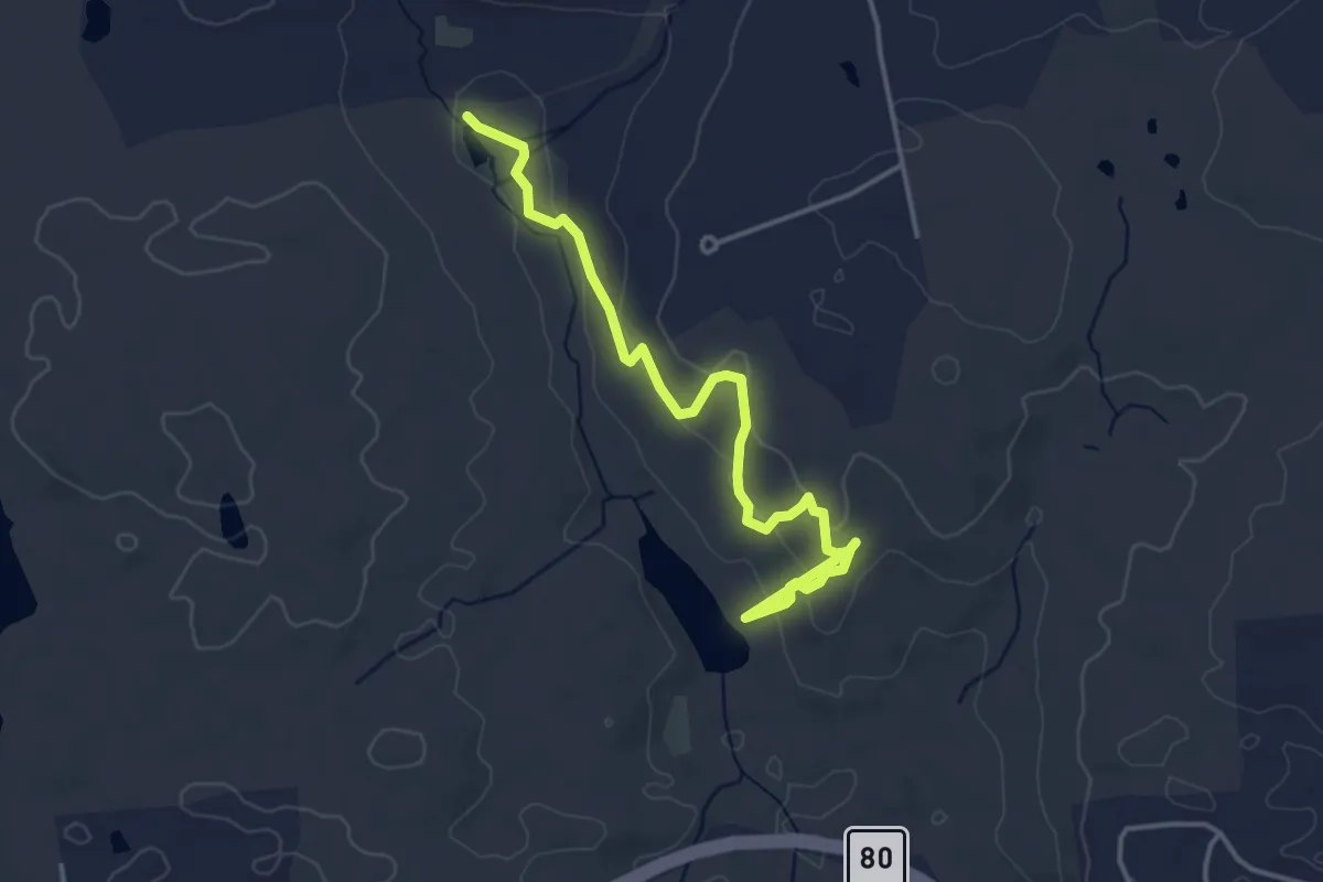
Easy · Trail
Ridge Trail
4.6 km · ↑ 178 m · 1 h 28 min · 2 km away
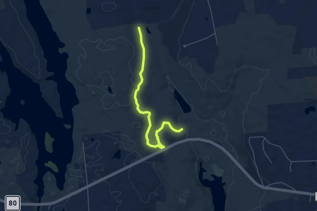
Easy · Trail
Deep Woods Trail
5.4 km · ↑ 110 m · 1 h 31 min · 2 km away
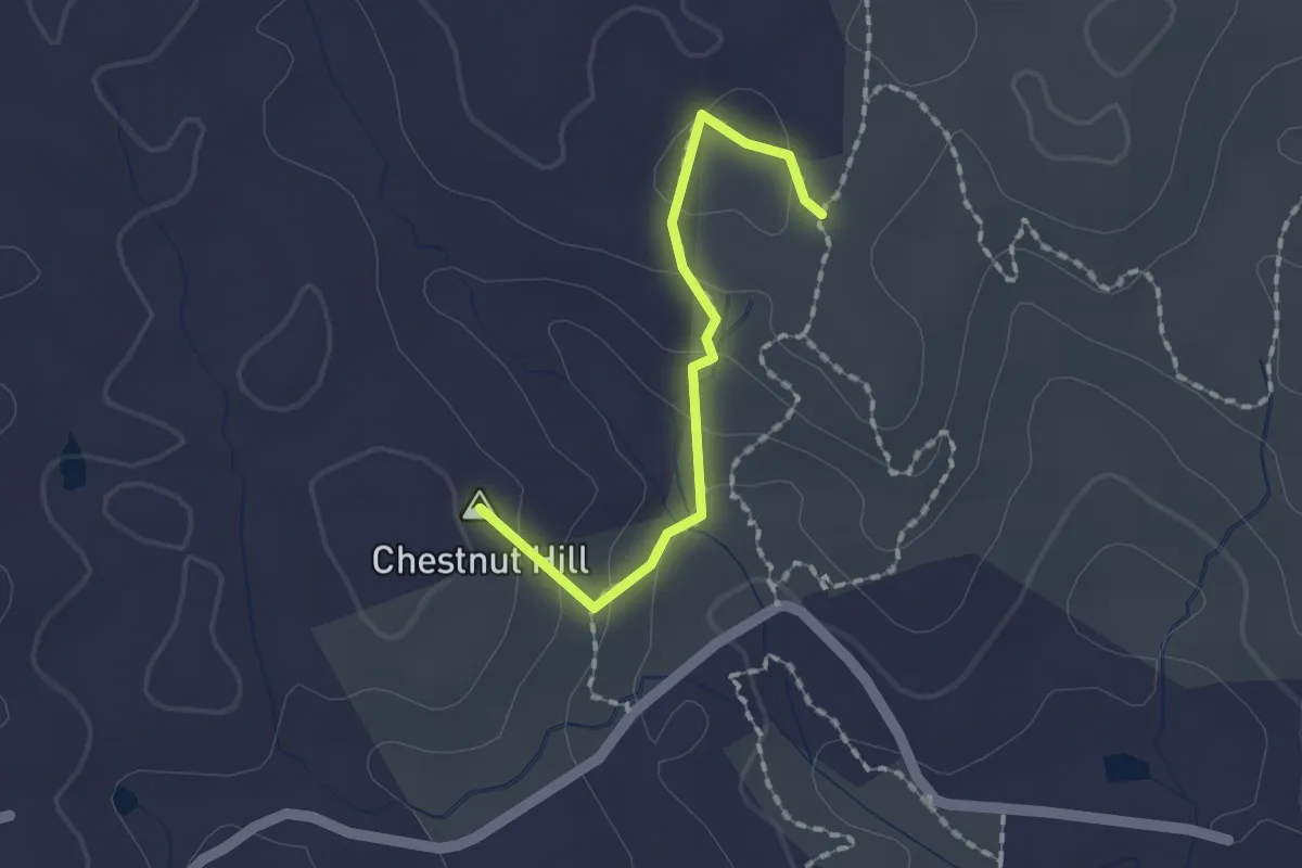
Easy · Summit
Chatfield Alternate Trail
1.7 km · ↑ 85 m · 35 min · 2 km away
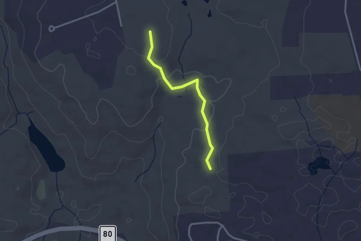
Easy · Trail
East Woods Connector
2.4 km · ↑ 73 m · 43 min · 3 km away
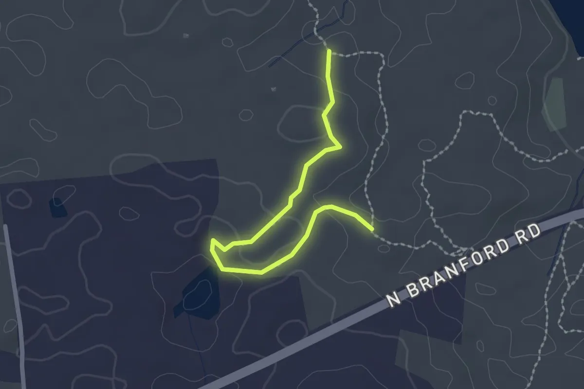
Easy · Trail
White Pond Trail
2.4 km · ↑ 96 m · 46 min · 3 km away
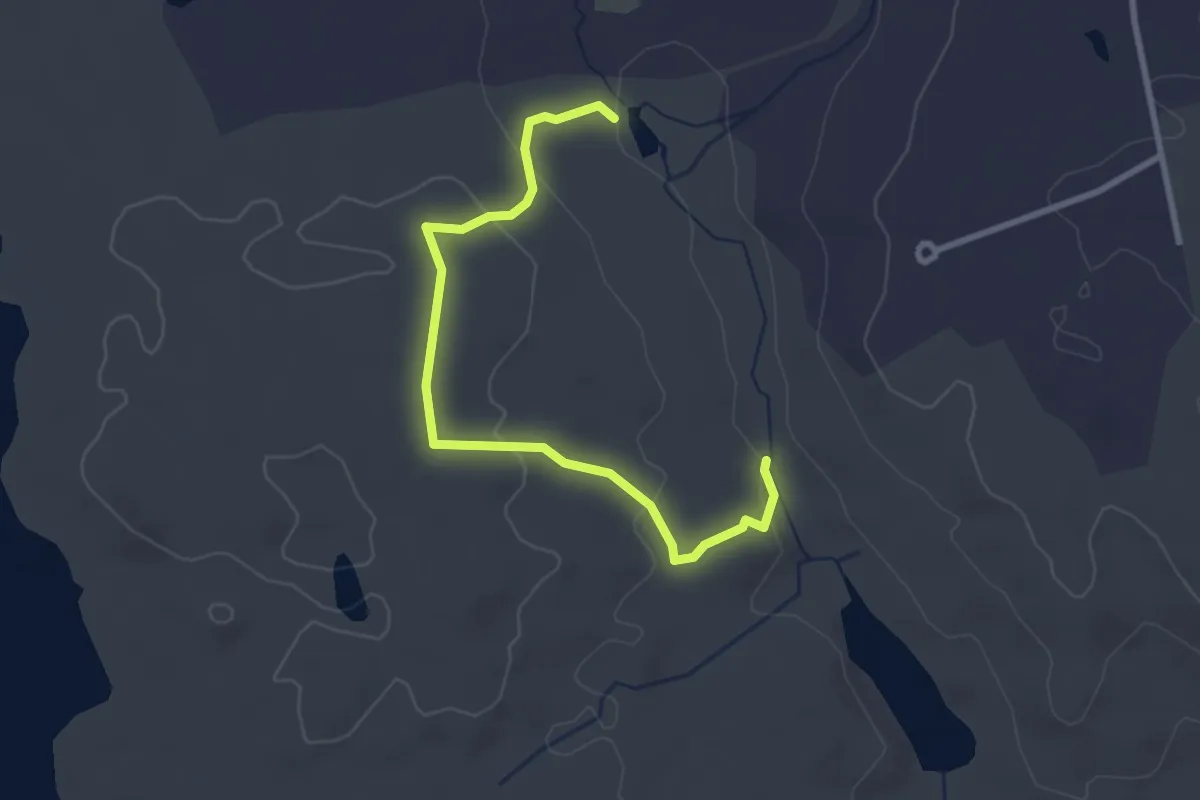
Easy · Trail
West Crest Trail
3.4 km · ↑ 129 m · 1 h 5 min · 3 km away
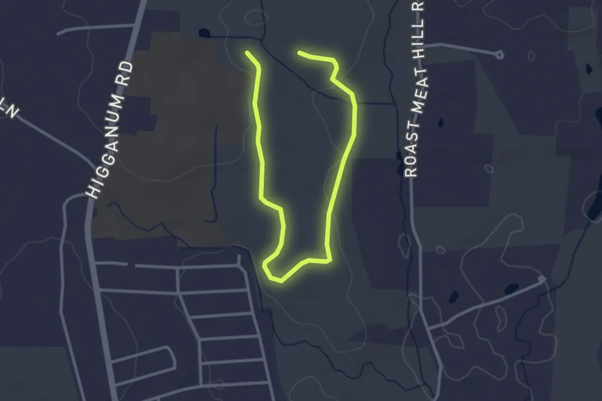
Easy · Trail
Pavelka Red Trail
4.2 km · ↑ 58 m · 1 h 7 min · 3 km away
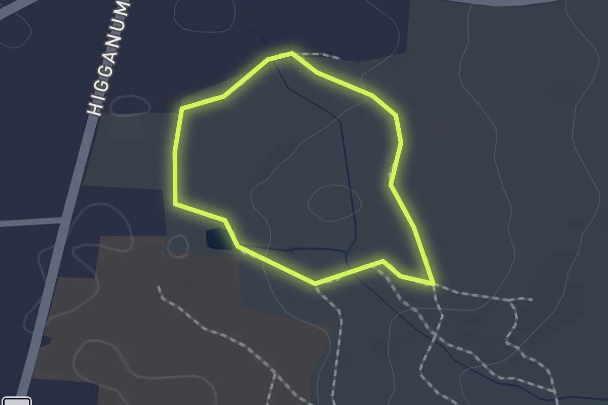
Easy · Trail
Parmelee Trail
1.3 km · ↑ 6 m · 21 min · 3 km away
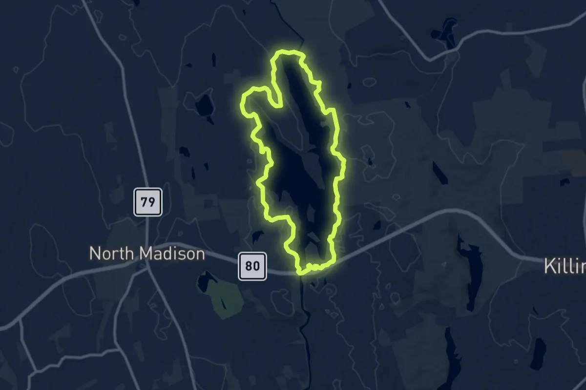
Medium · Trail
White Trail
9.5 km · ↑ 146 m · 2 h 41 min · 4 km away
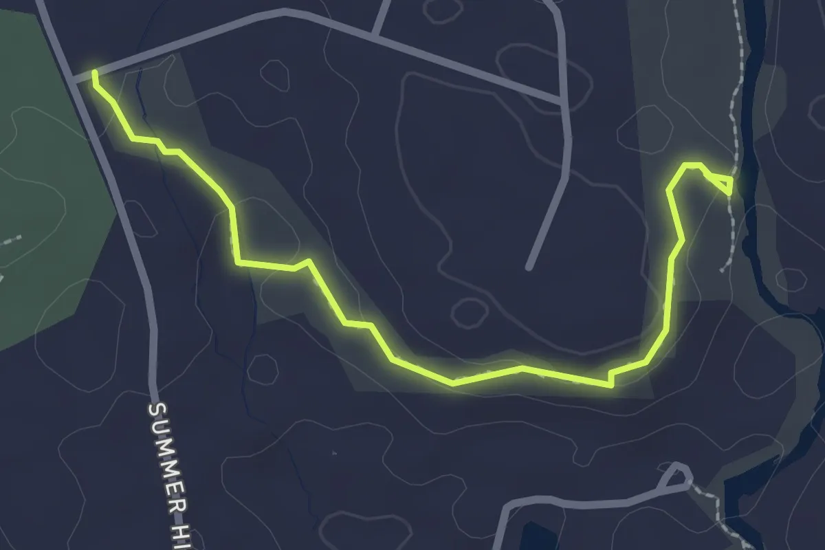
Easy · Trail
Shepherds Trail
2.6 km · ↑ 87 m · 49 min · 4 km away
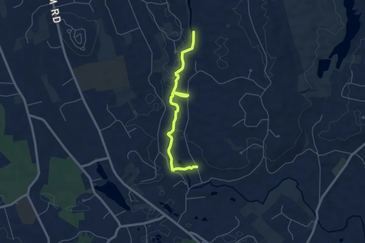
Easy · Trail
Lower Hammonasset Trail
5.4 km · ↑ 64 m · 1 h 25 min · 4 km away
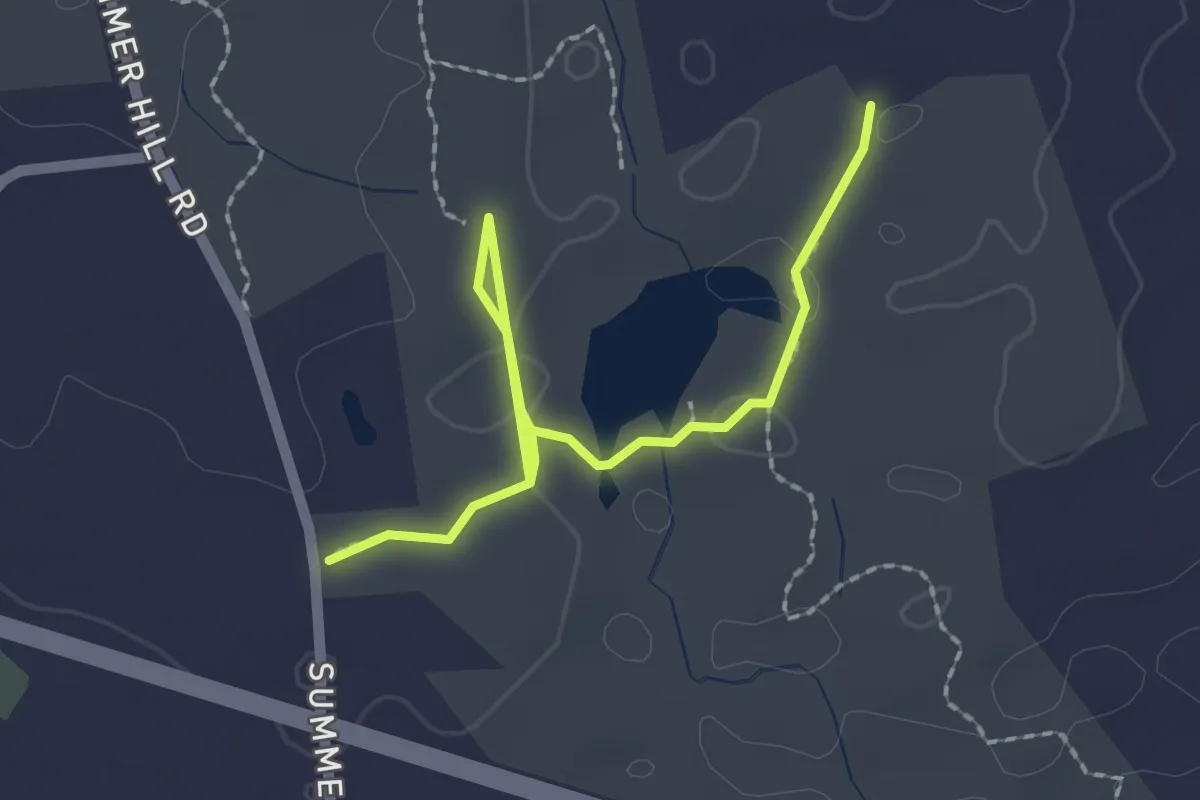
Easy · Trail
Summer Hill Trail
2.6 km · ↑ 31 m · 41 min · 5 km away
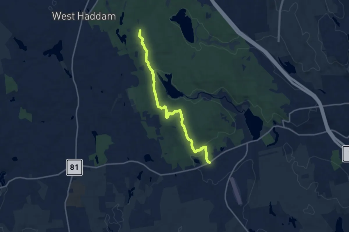
Medium · Trail
White Trail
11.7 km · ↑ 205 m · 3 h 13 min · 5 km away
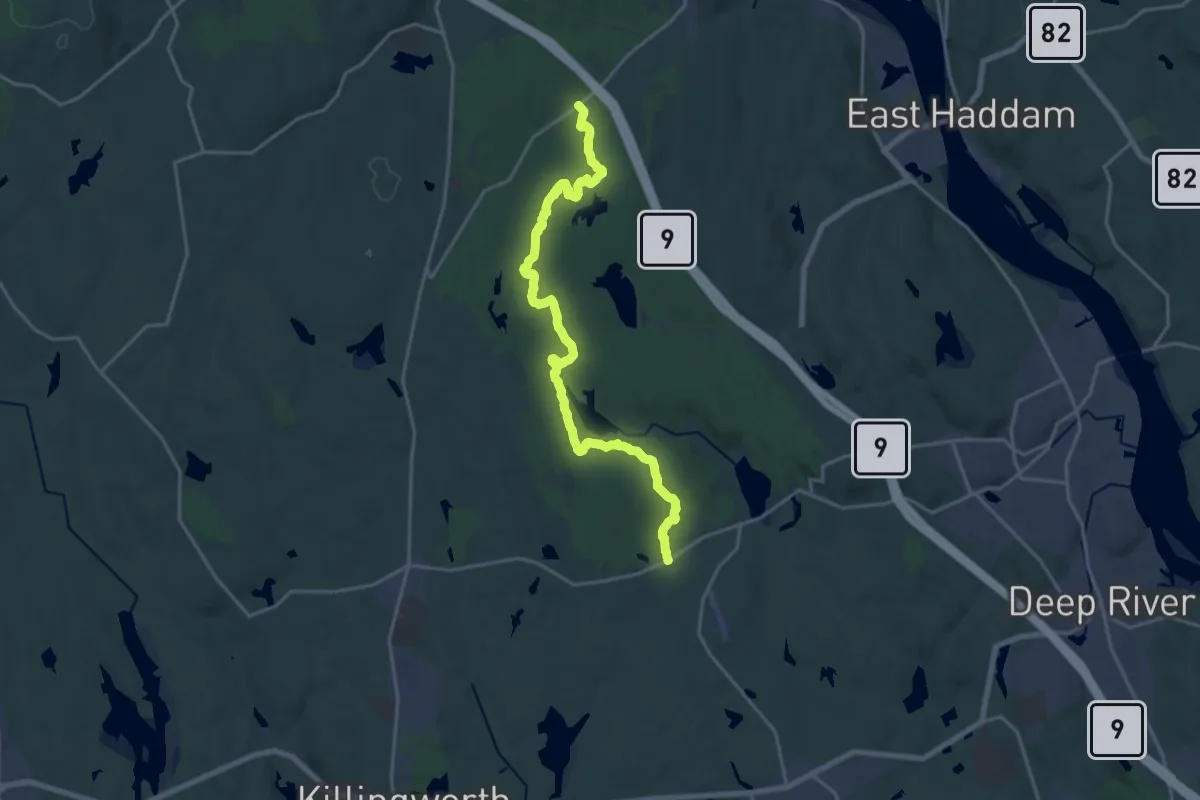
Demanding · Trail
Cockaponset Trail
22.3 km · ↑ 530 m · 6 h 25 min · 5 km away
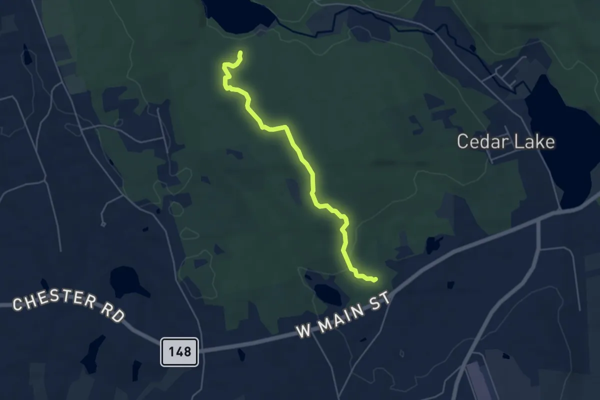
Easy · Trail
South Pattaconk Trail
4.9 km · ↑ 135 m · 1 h 27 min · 6 km away
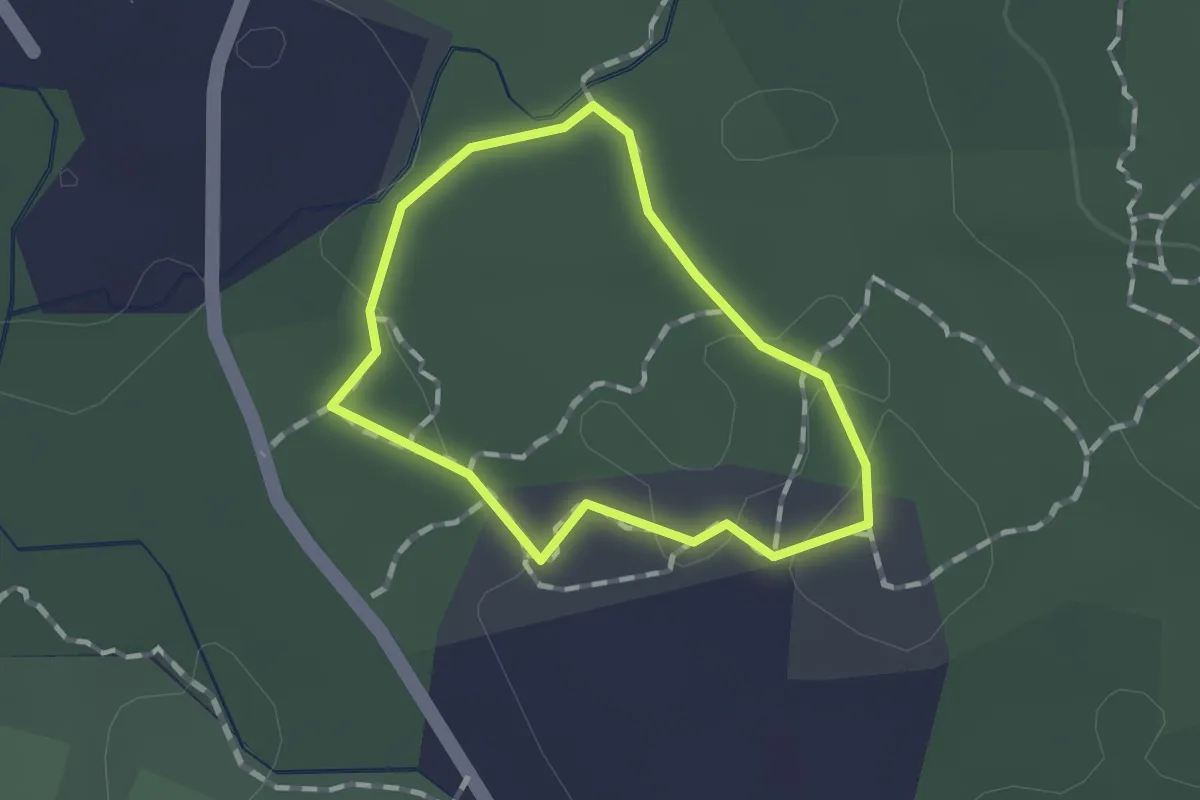
Easy · Trail
white
1.0 km · ↑ 15 m · 17 min · 6 km away
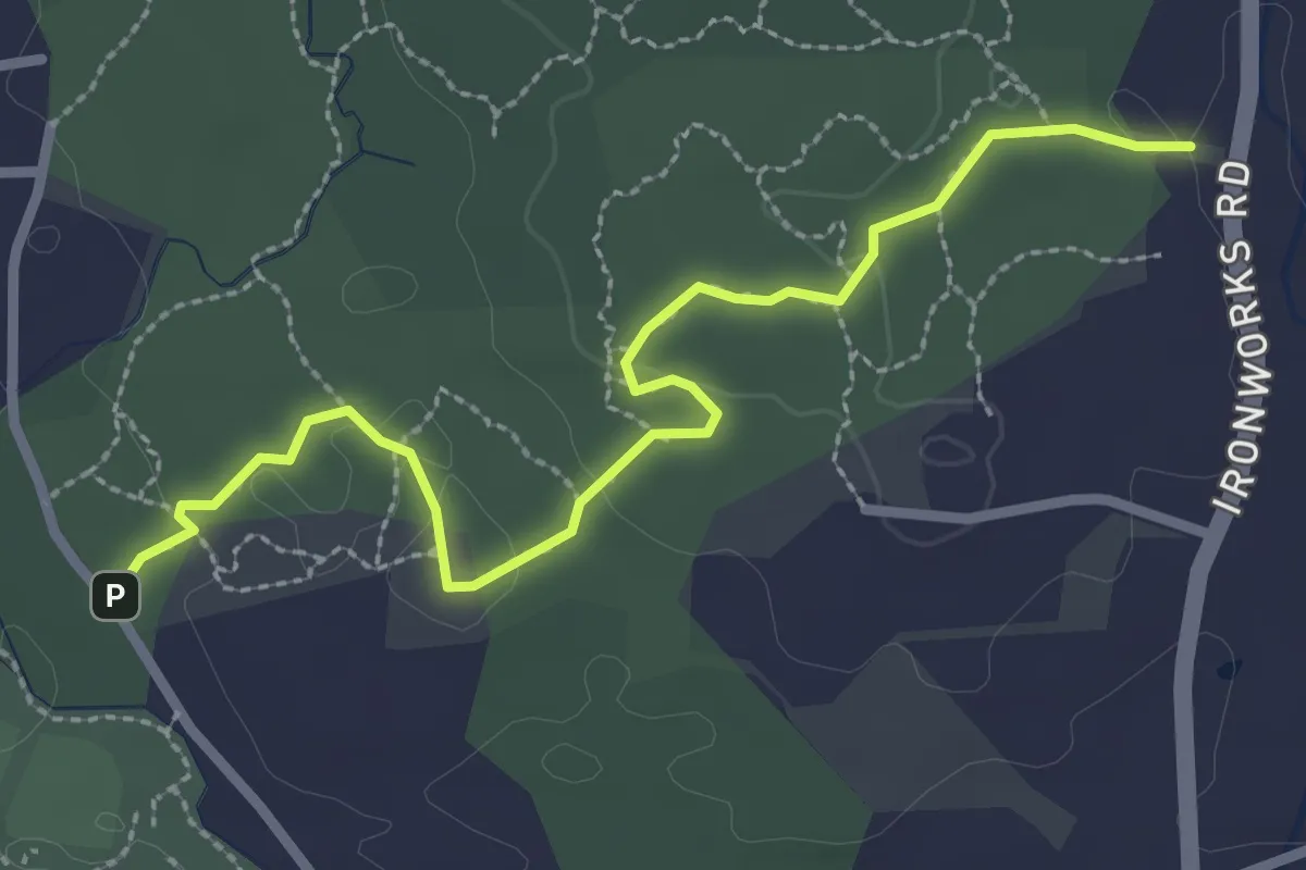
Easy · Trail
blue
3.2 km · ↑ 58 m · 54 min · 6 km away
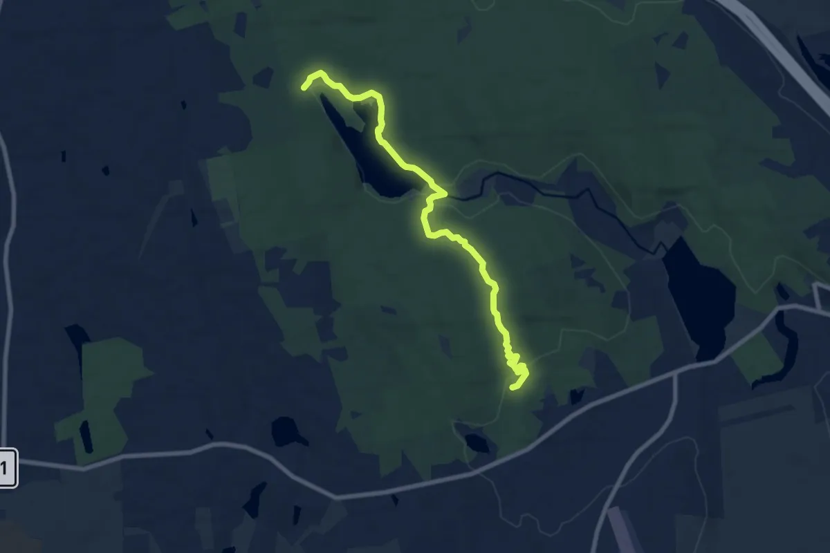
Medium · Trail
Yellow Trail
8.1 km · ↑ 121 m · 2 h 11 min · 6 km away
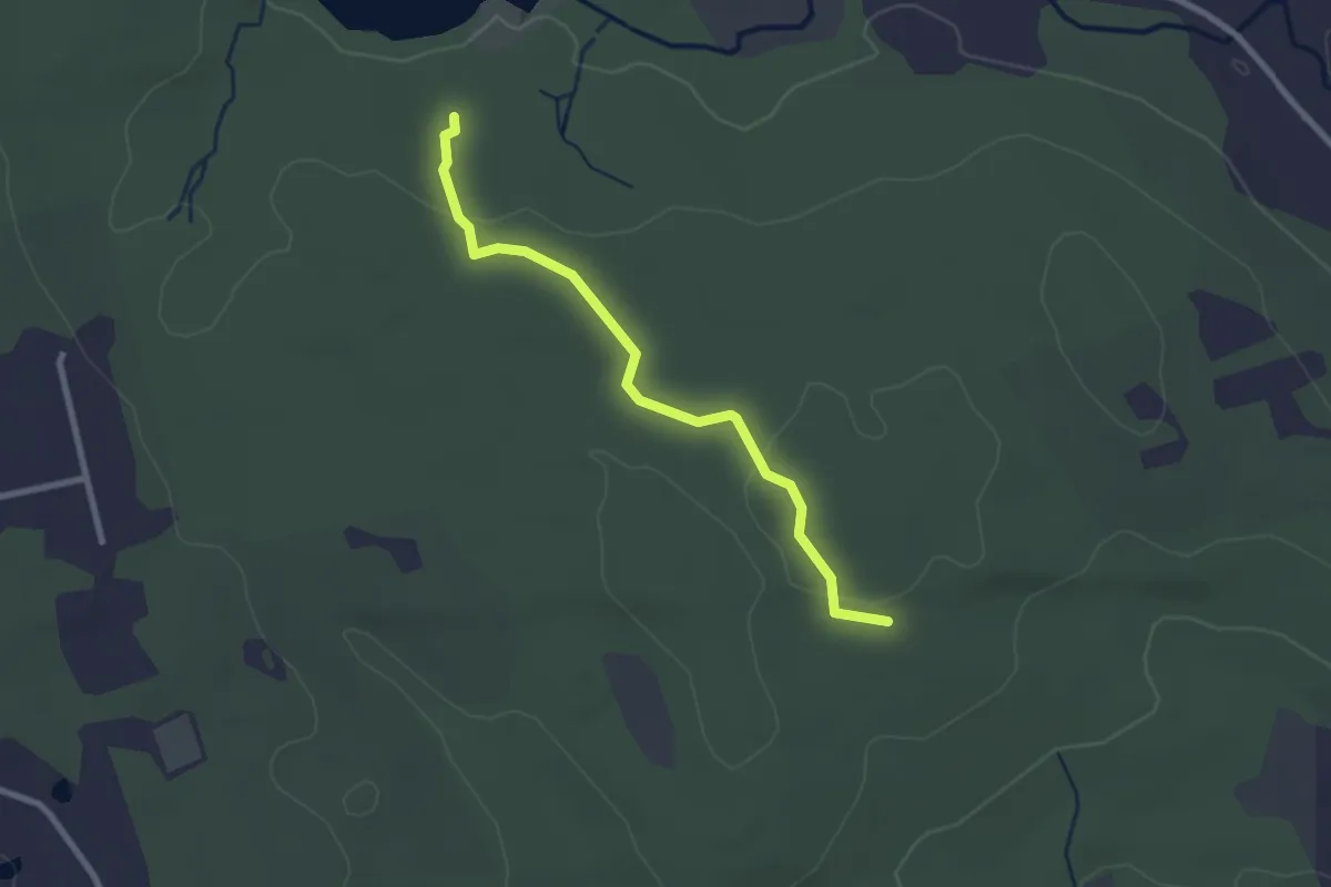
Easy · Trail
Yellow-White Trail
2.7 km · ↑ 36 m · 43 min · 6 km away
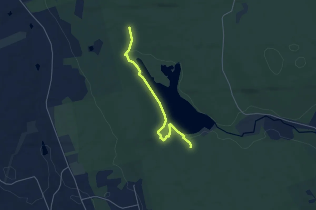
Easy · Trail
North Pattaconk Trail
3.9 km · ↑ 33 m · 1 h · 6 km away
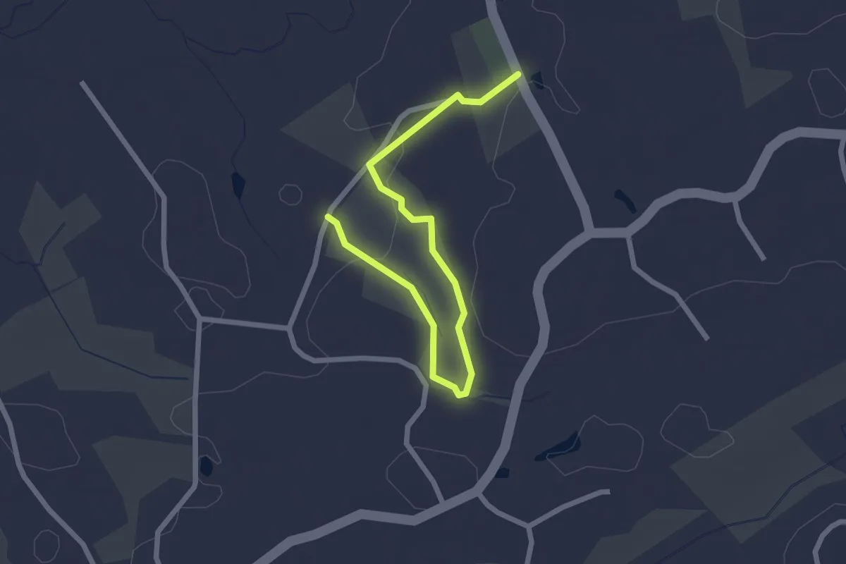
Easy · Trail
St. Francis Woods Trail
2.8 km · ↑ 72 m · 50 min · 8 km away
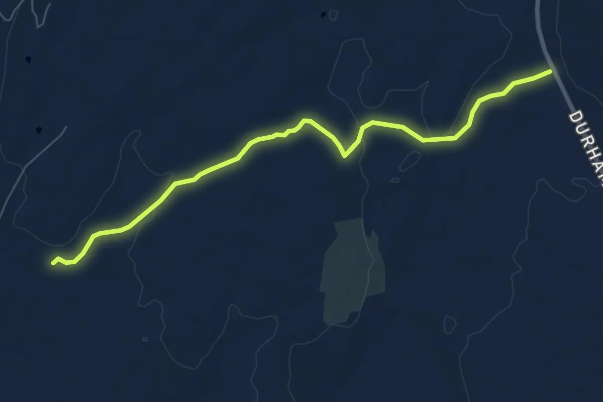
Easy · Trail
Goat Lot Trail
7.5 km · ↑ 85 m · 1 h 58 min · 9 km away
Easy · Trail
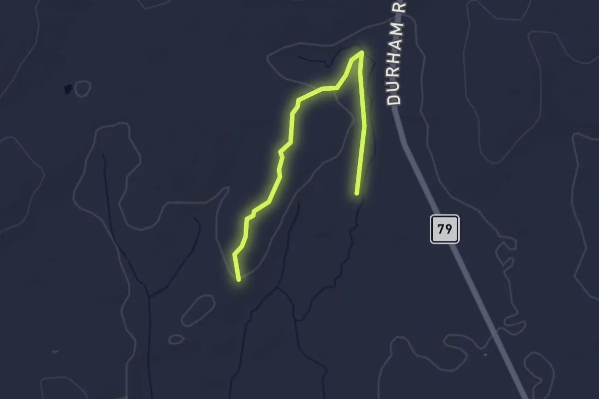
Pine Trail
3.5 km · ↑ 49 m · 56 min · 9 km away
Easy · Trail
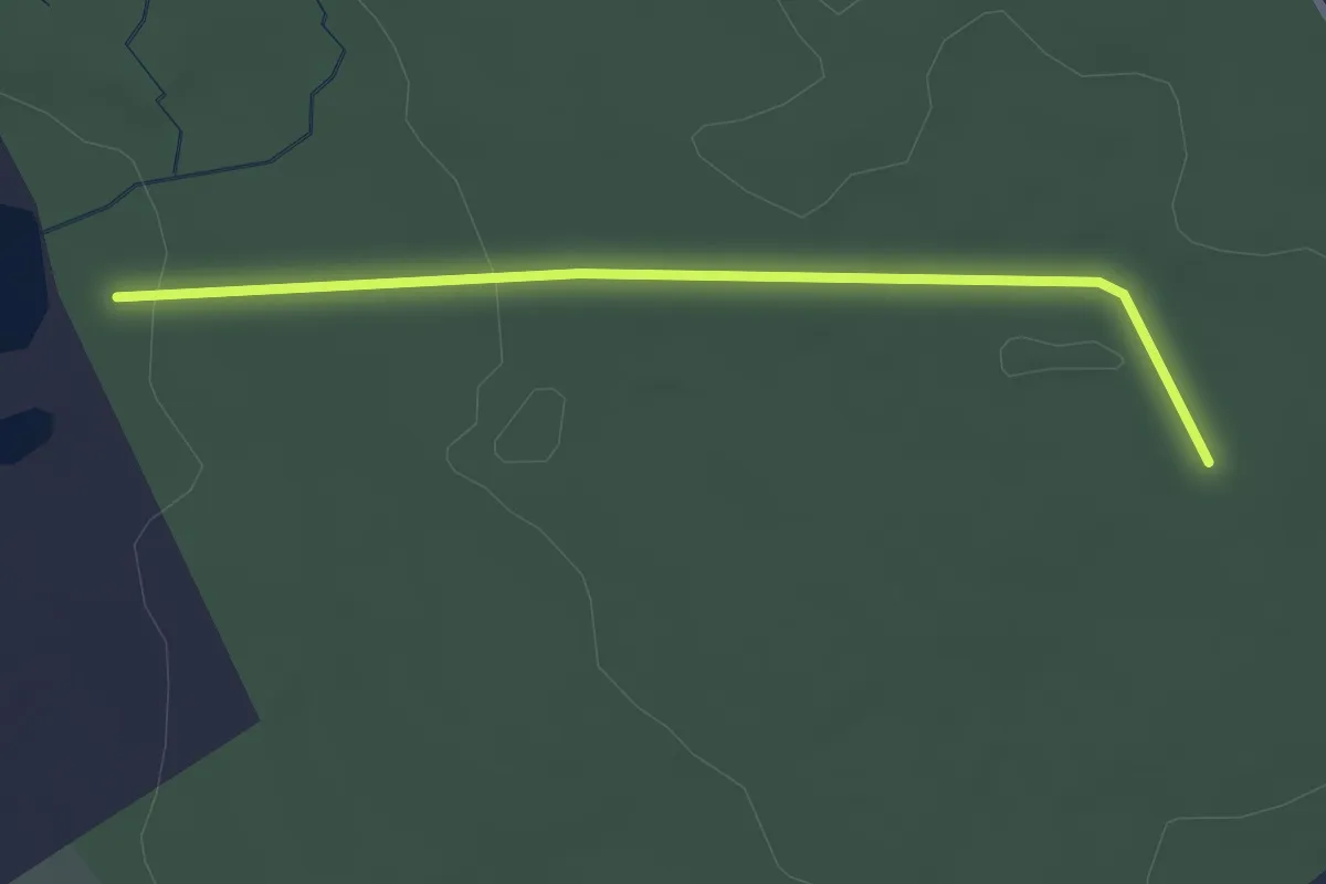
Power line trail
2.8 km · ↑ 41 m · 45 min · 9 km away
Easy · Trail
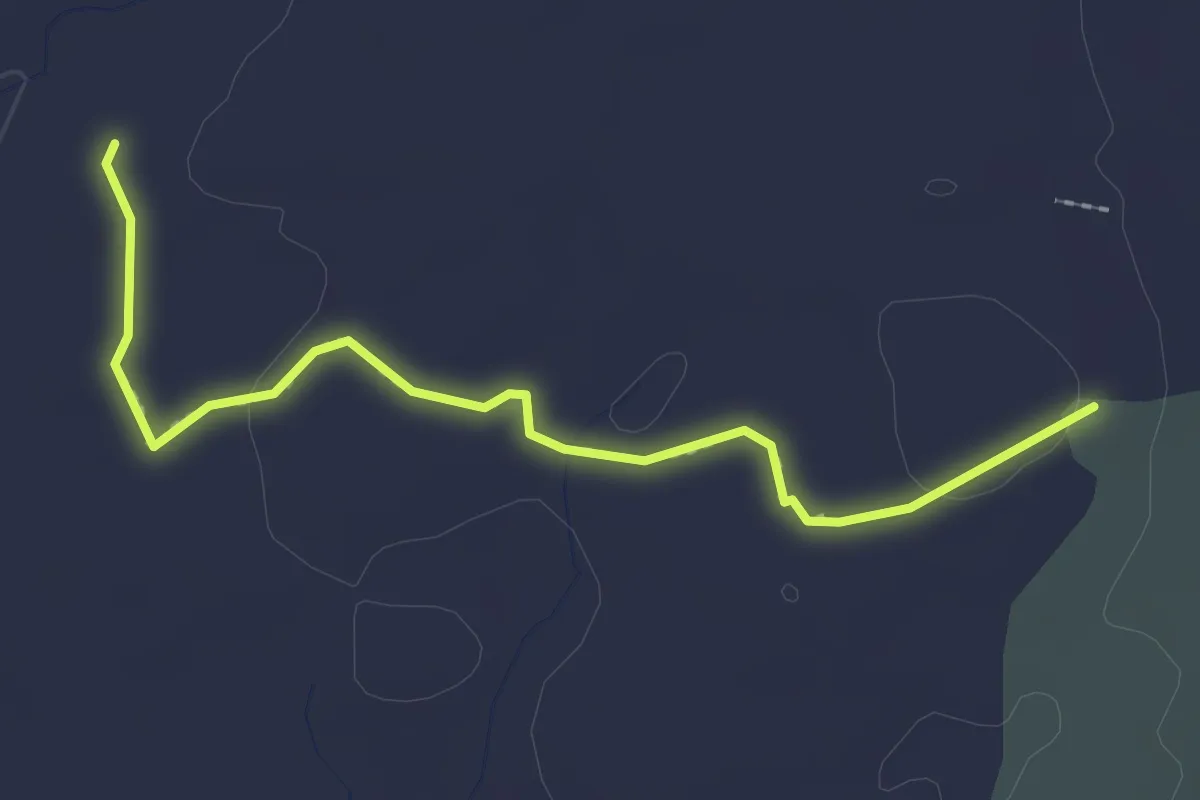
Bushwack Trail
2.7 km · ↑ 32 m · 43 min · 9 km away
Easy · Trail
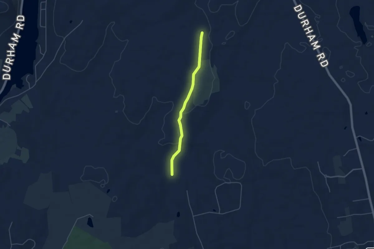
Cooper Lot Trail
4.3 km · ↑ 81 m · 1 h 11 min · 9 km away
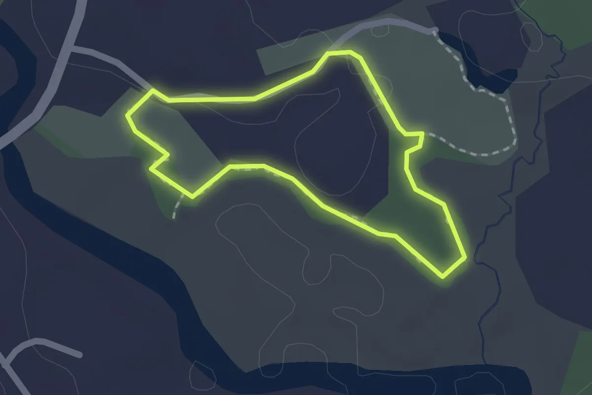
Easy · Trail
Ann Connover Nature Trail
1.4 km · ↑ 5 m · 22 min · 10 km away
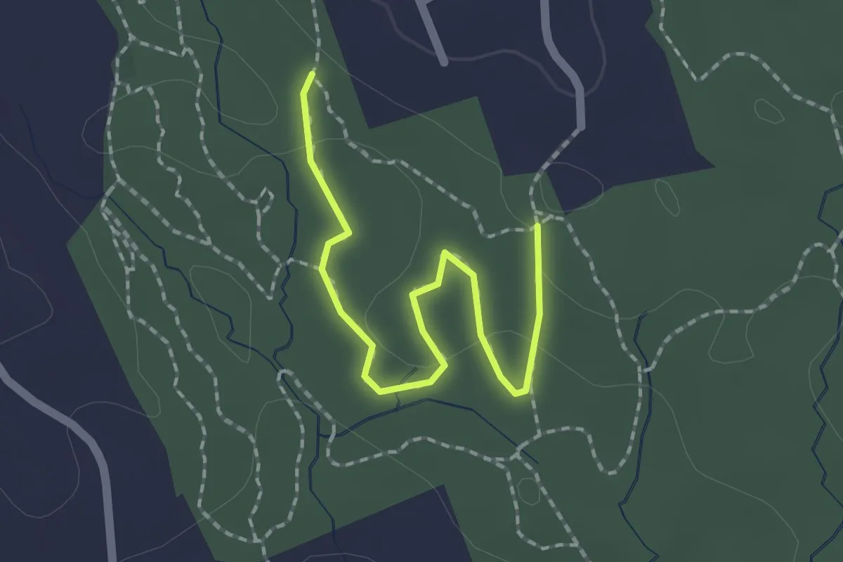
Easy · Trail
Blue Trail
2.1 km · ↑ 61 m · 37 min · 10 km away
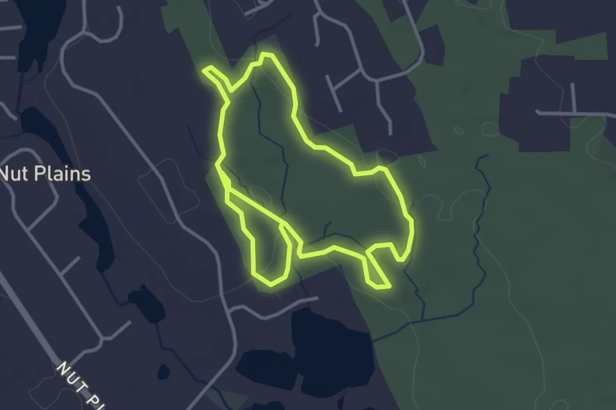
Easy · Trail
White Trail
6.5 km · ↑ 127 m · 1 h 49 min · 10 km away
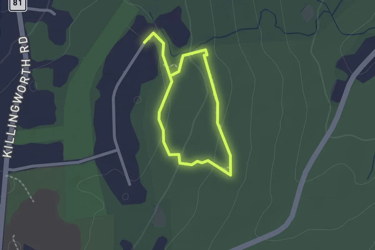
Easy · Trail
Washburn Trail
1.4 km · ↑ 36 m · 26 min · 10 km away
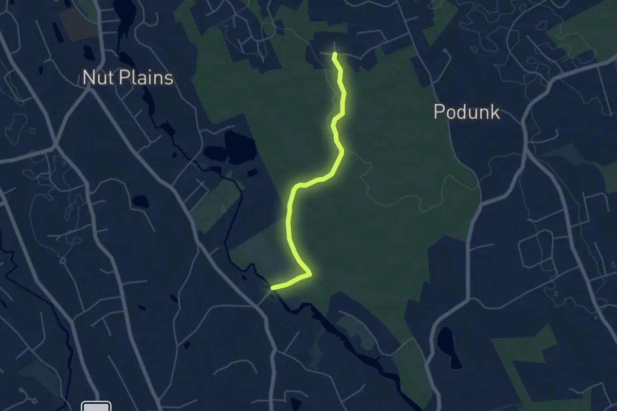
Easy · Trail
Bear House Hill Road trail
4.9 km · ↑ 51 m · 1 h 16 min · 10 km away
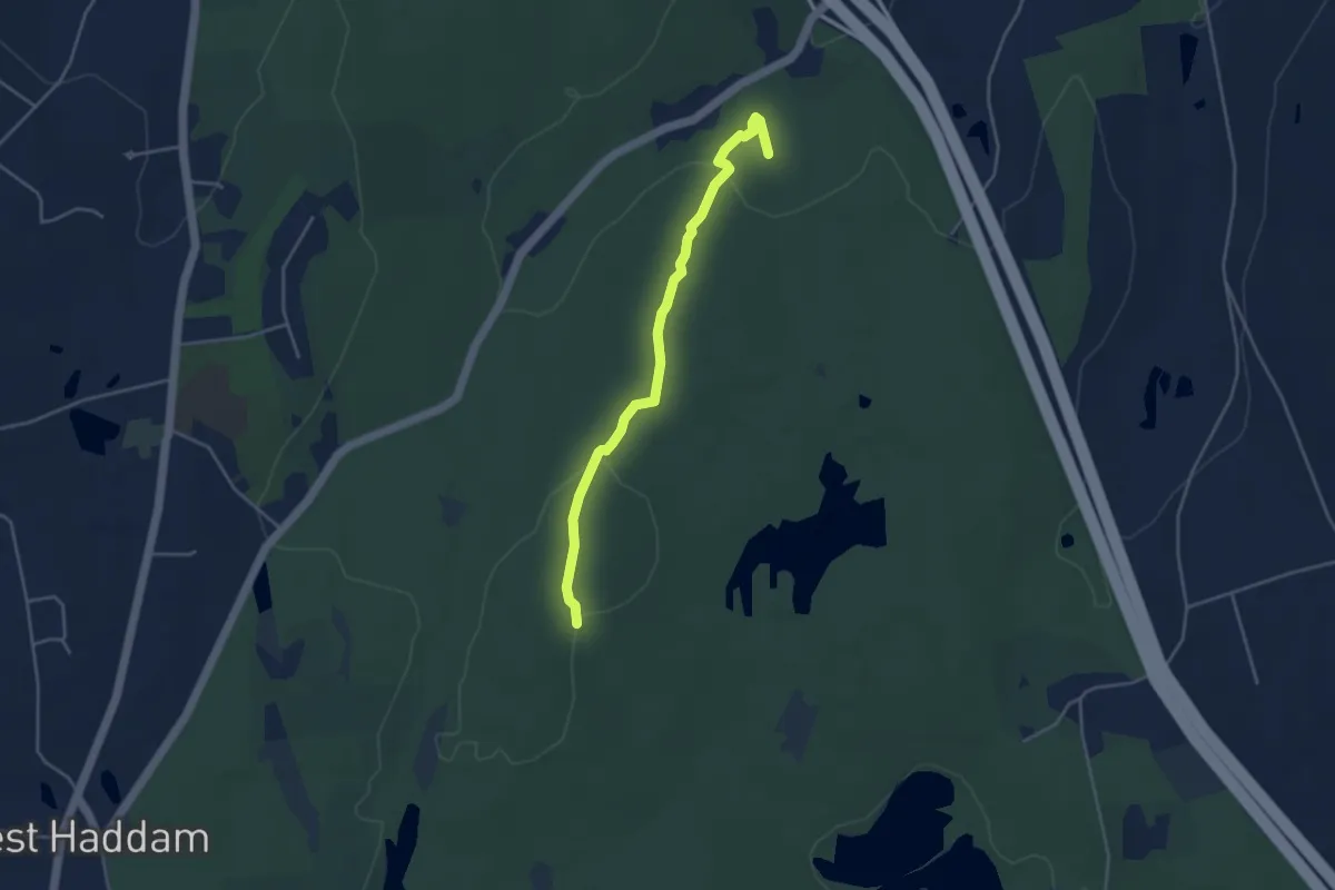
Easy · Trail
Wildwood Trail
4.4 km · ↑ 125 m · 1 h 18 min · 11 km away
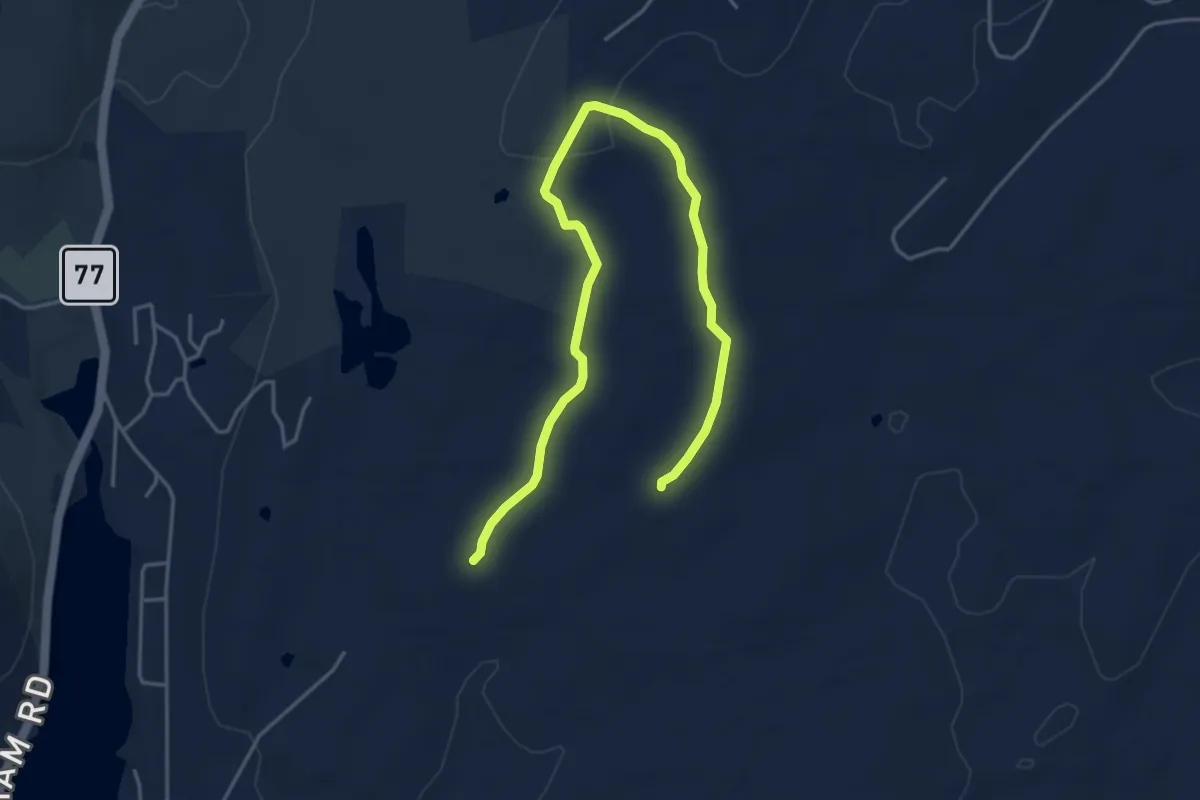
Easy · Trail
Grandma Hall Trail
5.9 km · ↑ 66 m · 1 h 33 min · 11 km away
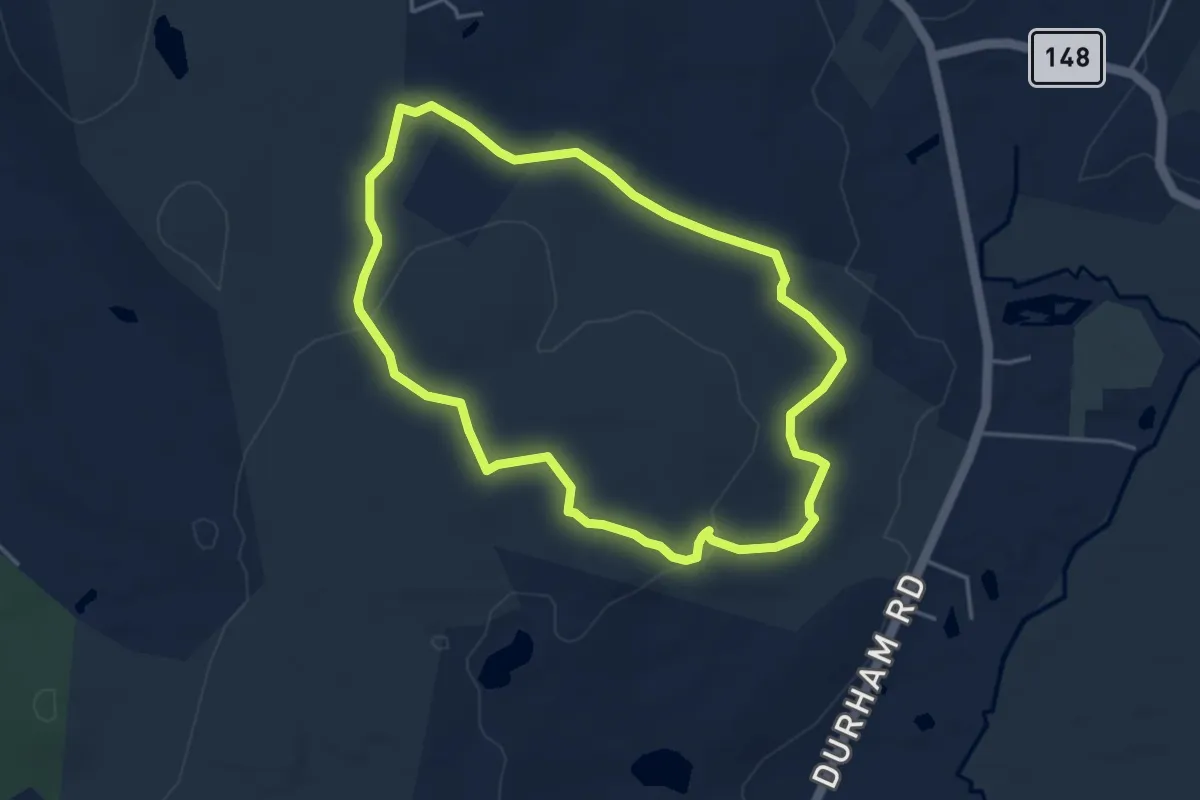
Easy · Trail
Rockland Trail
4.4 km · ↑ 87 m · 1 h 17 min · 11 km away
Easy · Trail
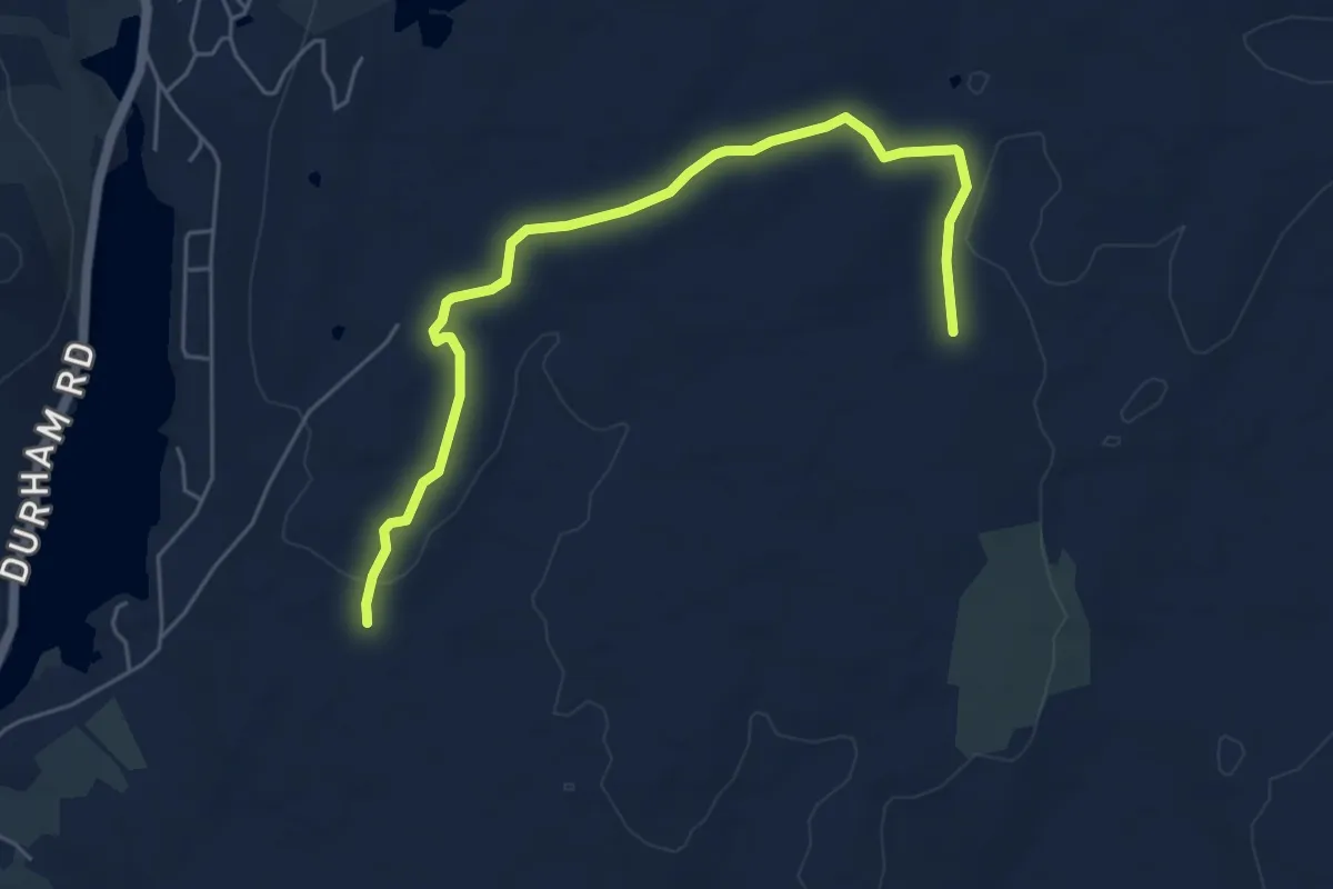
Durham Trail
6.6 km · ↑ 95 m · 1 h 45 min · 11 km away
Easy · Trail
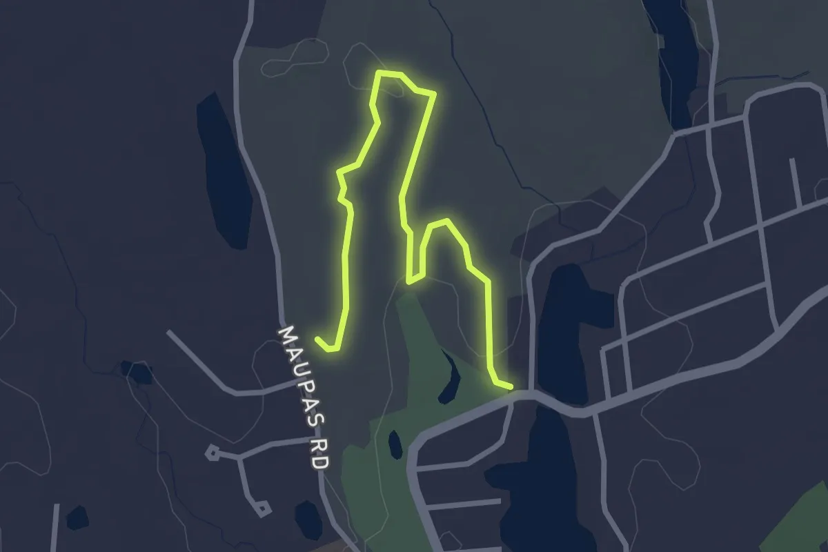
Blue trail
3.3 km · ↑ 51 m · 53 min · 11 km away
Easy · Trail
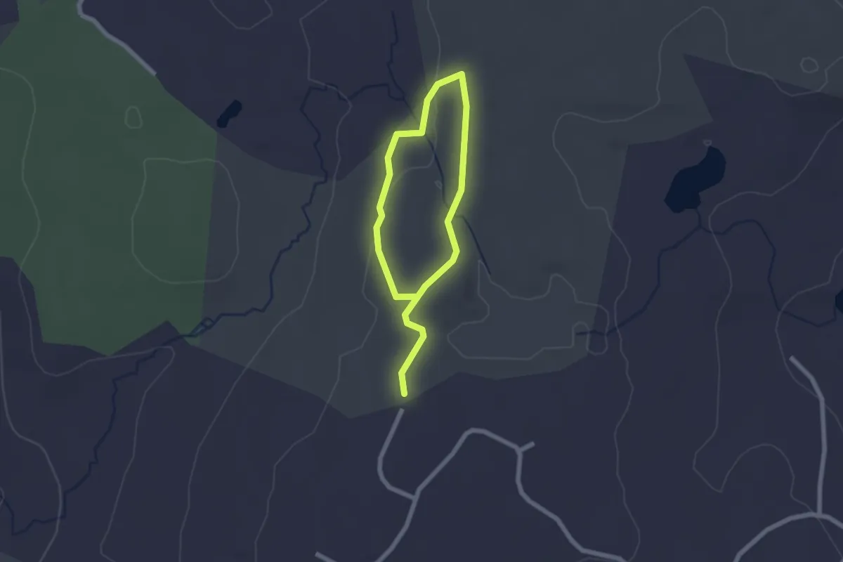
Houston Trail
3.2 km · ↑ 61 m · 53 min · 11 km away
Easy · Trail
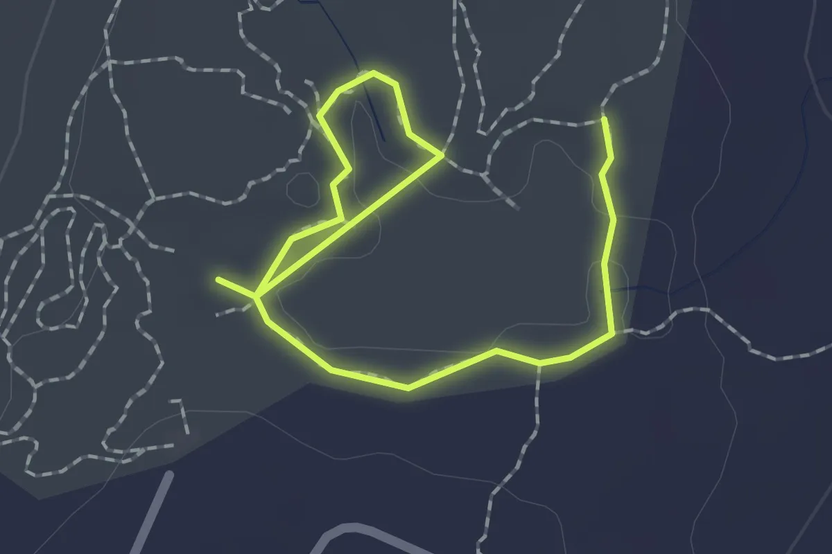
Coan Pond Trail
2.6 km · ↑ 10 m · 38 min · 11 km away
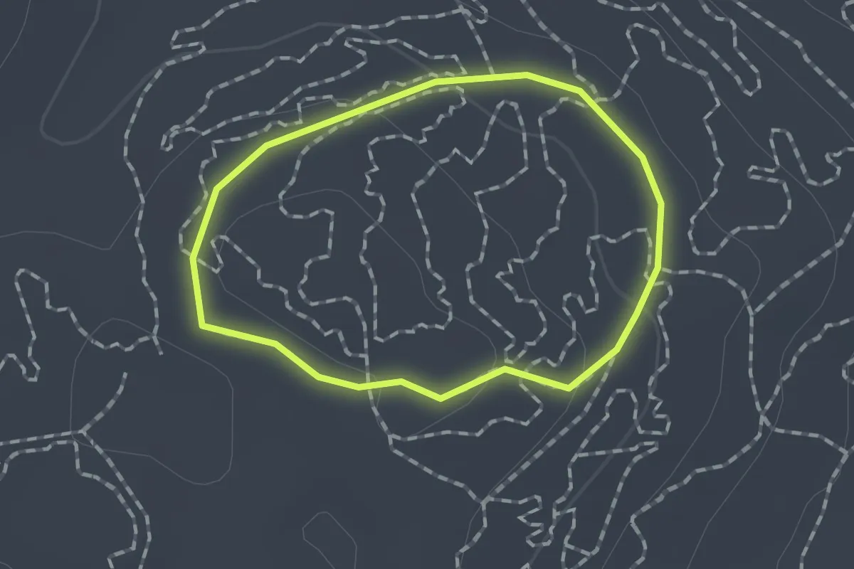
Easy · Trail
Summit Trail
1.3 km · ↑ 24 m · 22 min · 11 km away
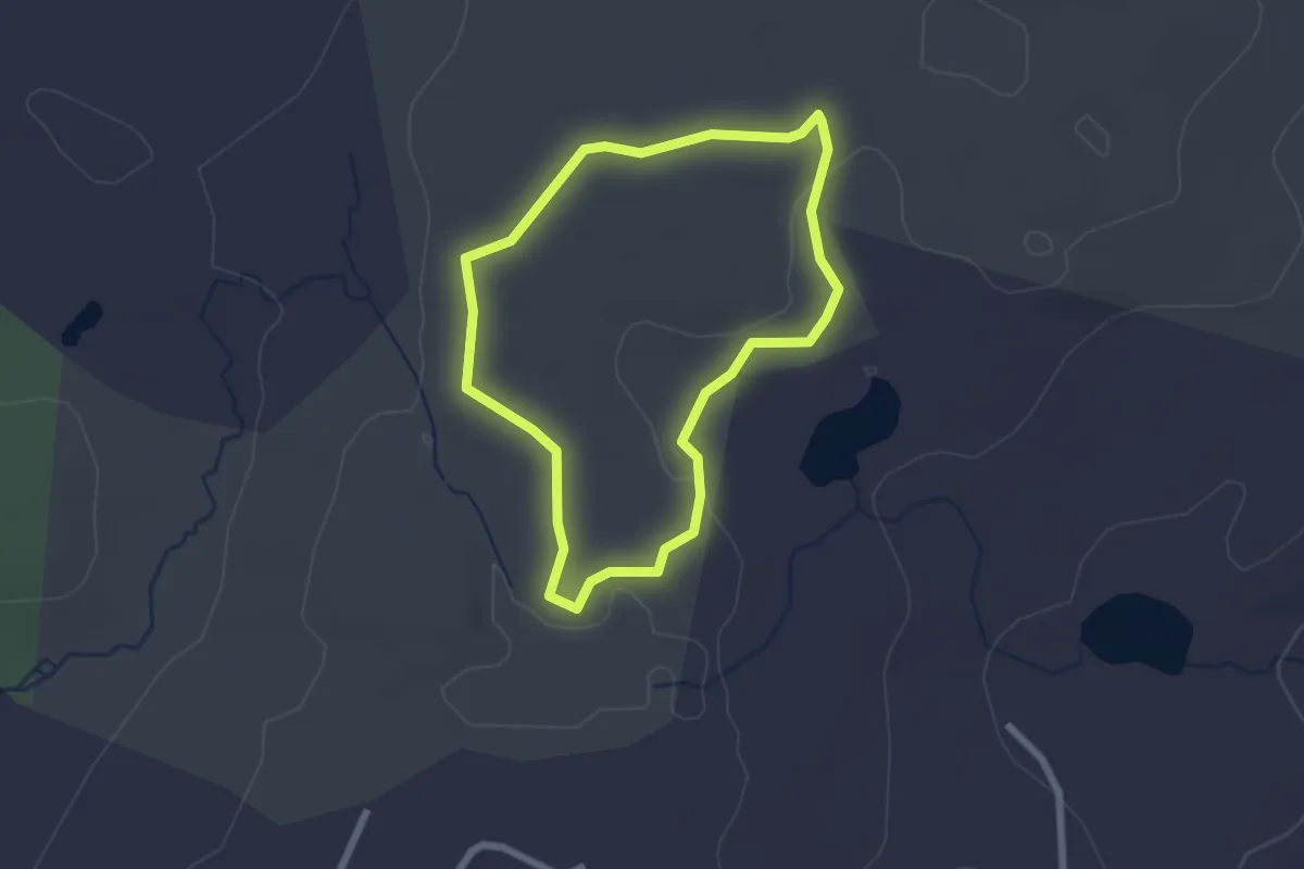
Easy · Trail
Old Crooked Hill
2.2 km · ↑ 25 m · 37 min · 12 km away
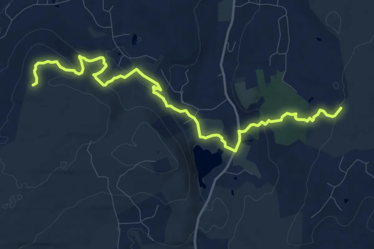
Medium · Trail
Lone Pine Trail
13.1 km · ↑ 375 m · 3 h 55 min · 12 km away
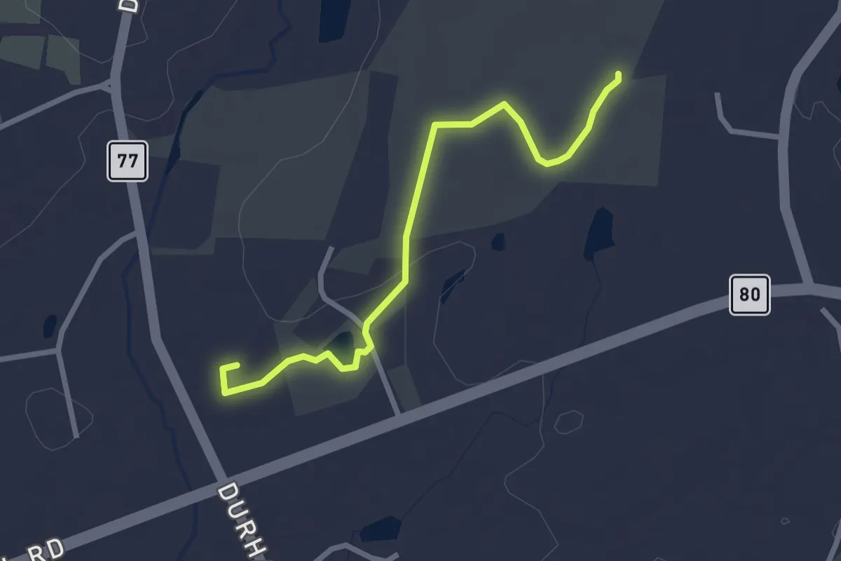
Easy · Trail
Dudley Barrows
2.8 km · ↑ 37 m · 44 min · 12 km away