Trails near Needham
19 hikes starting within 15 km, nearest first.
Nearest first
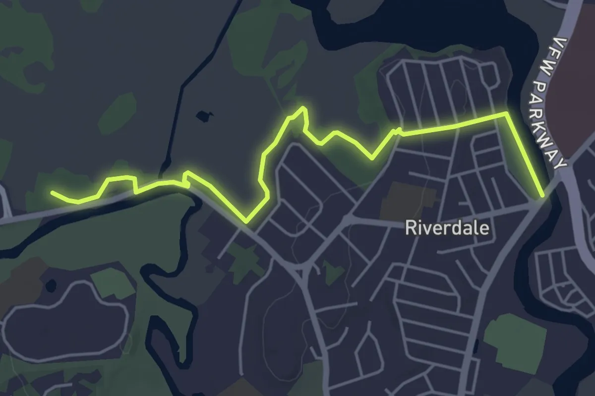
Easy · Trail
Blue Heron Trail
5.6 km · ↑ 20 m · 1 h 22 min · 3 km away
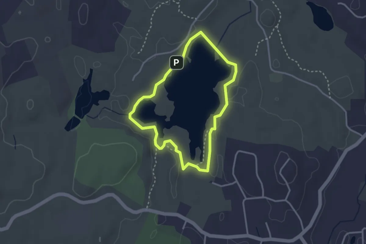
Easy · Trail
Page and Sadie Trail
2.7 km · ↑ 18 m · 43 min · 5 km away
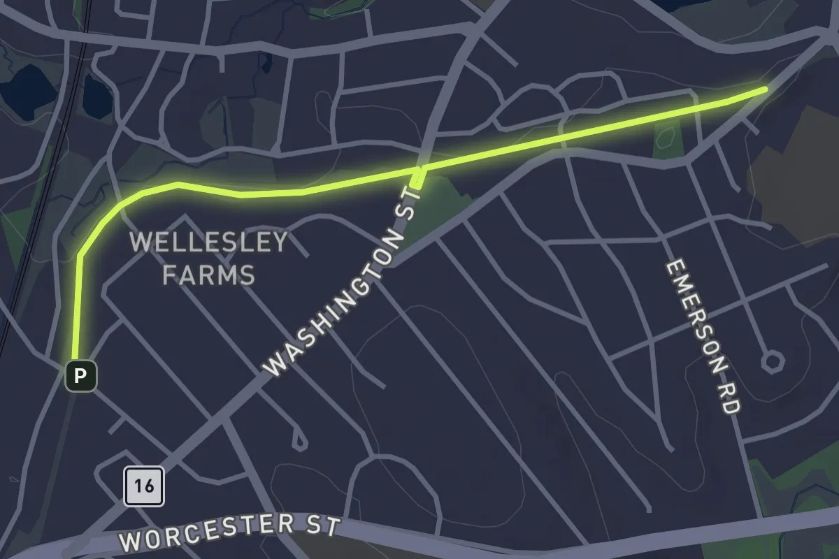
Easy · Trail
Crosstown Trail
3.6 km · ↑ 4 m · 52 min · 5 km away
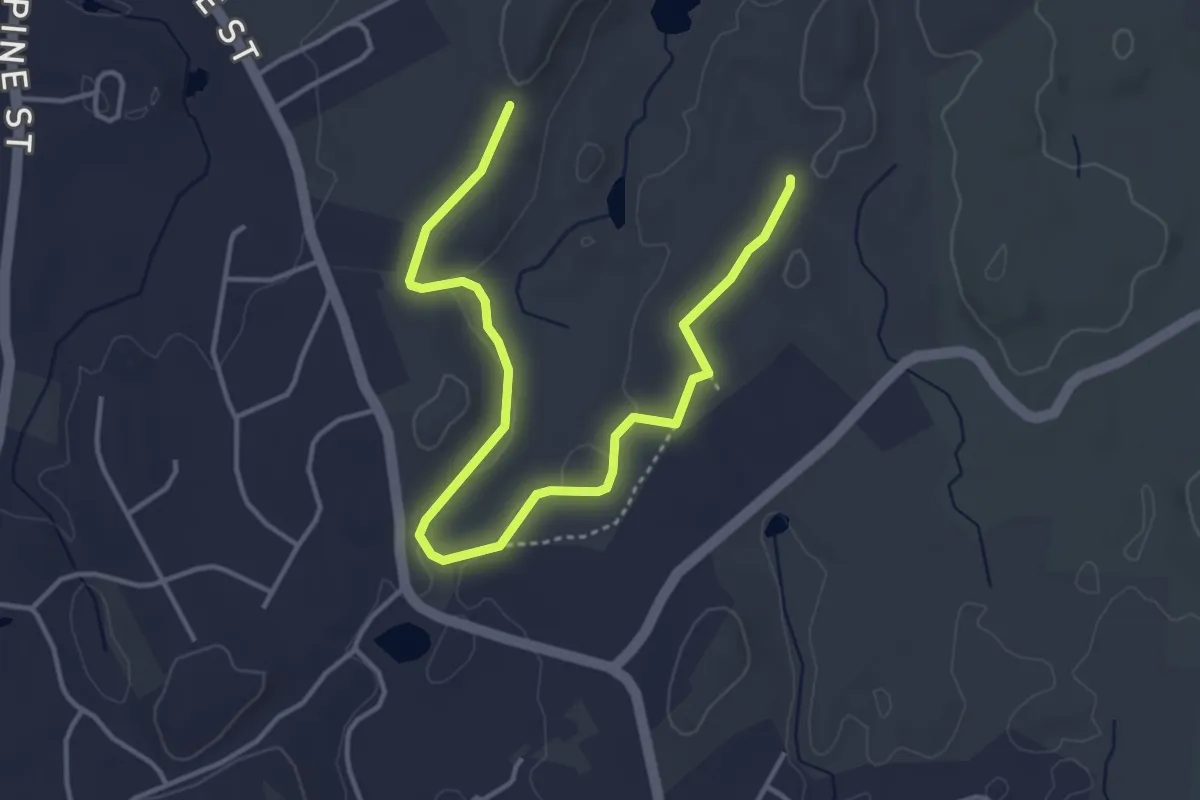
Easy · Trail
Larabee Trail (Orange Blaze)
5.3 km · ↑ 51 m · 1 h 21 min · 6 km away
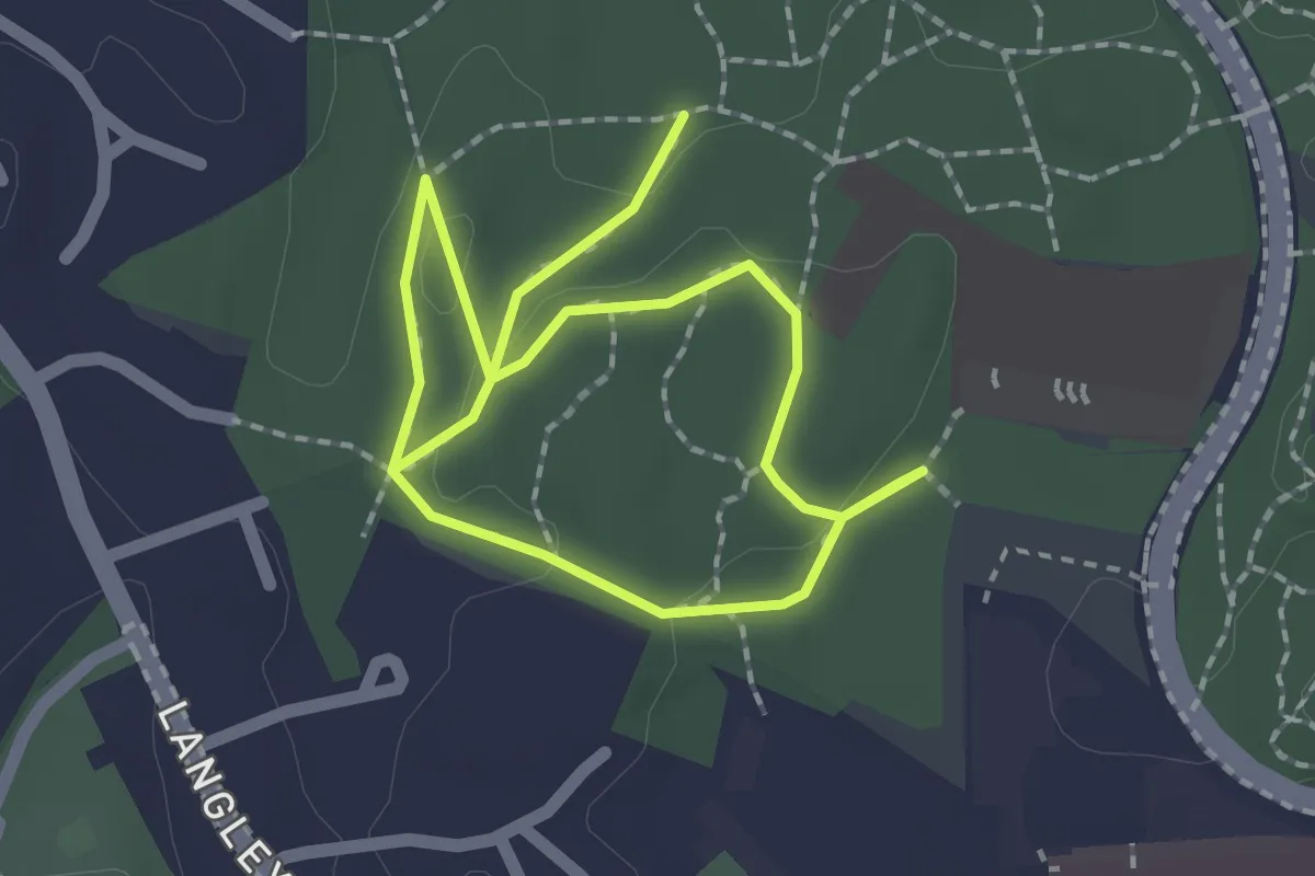
Easy · Trail
Red Trail
3.3 km · ↑ 40 m · 53 min · 7 km away
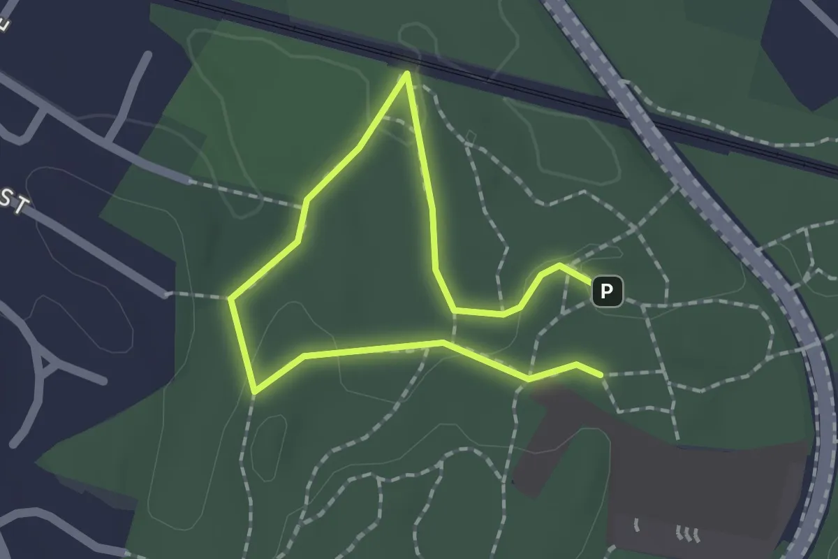
Easy · Trail
Green Trail
1.3 km · ↑ 19 m · 21 min · 7 km away
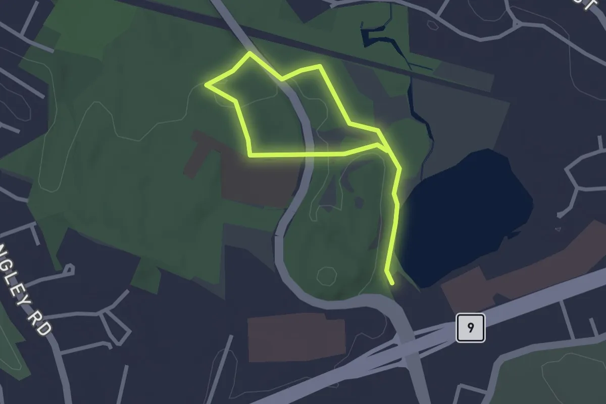
Easy · Trail
Blue Trail
3.3 km · ↑ 19 m · 49 min · 7 km away
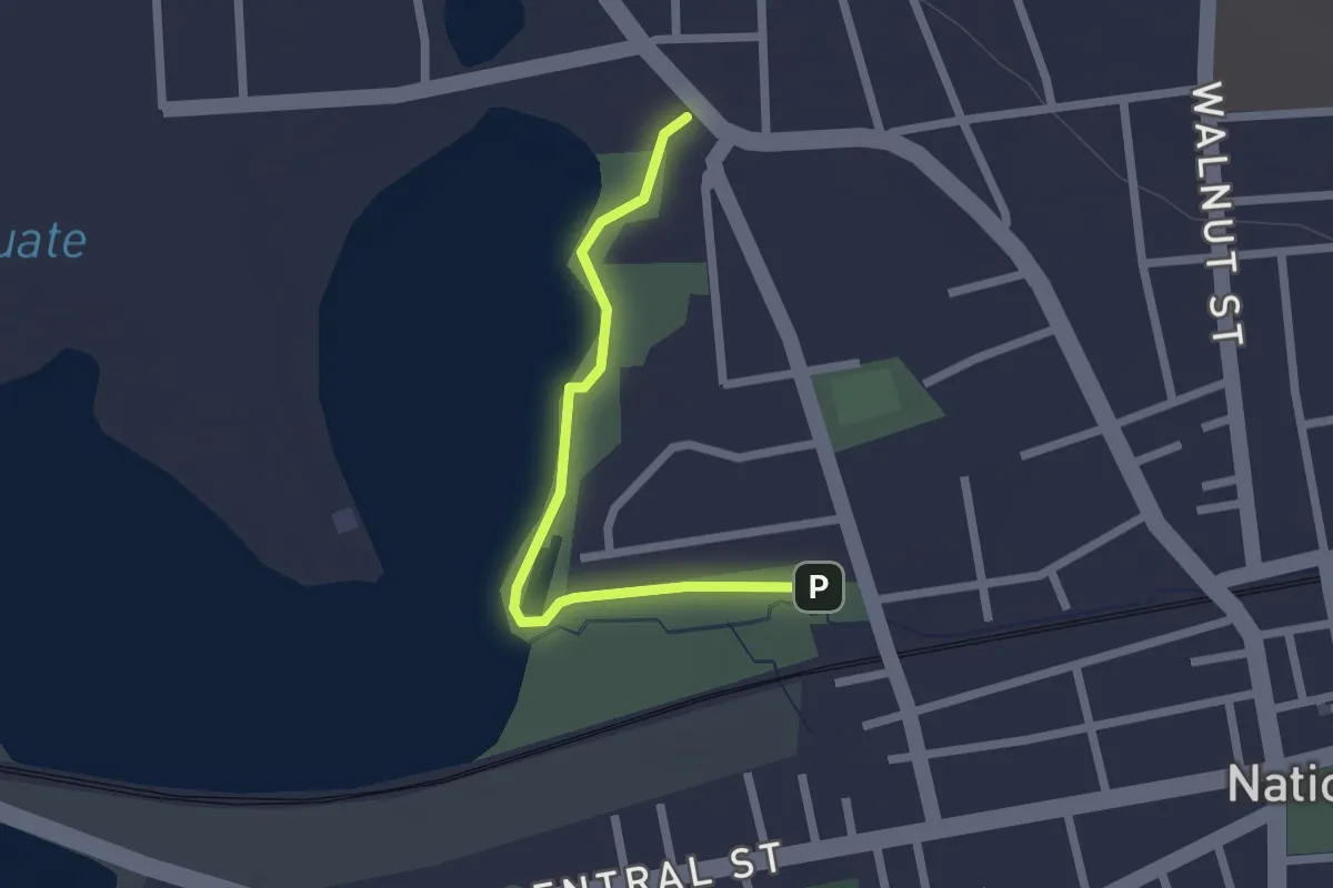
Easy · Trail
North Trail
2.1 km · ↑ 0 m · 30 min · 10 km away
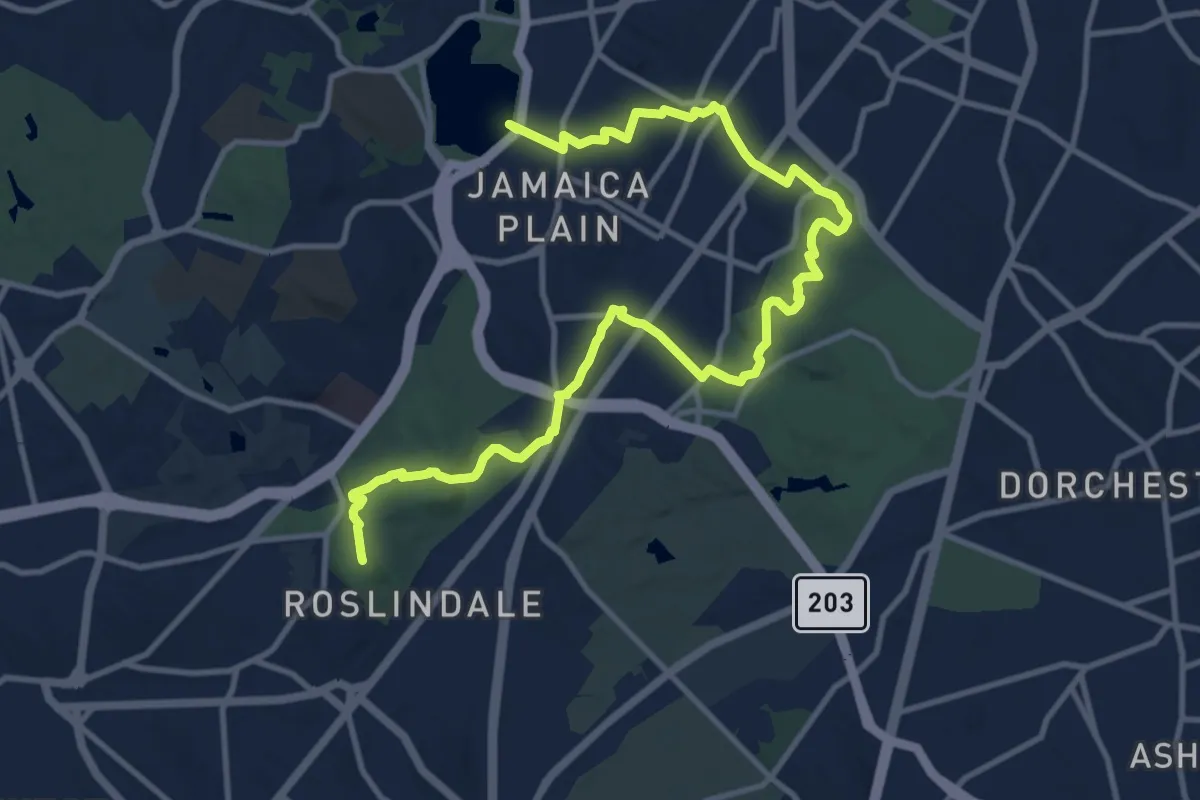
Medium · Summit
Walking City Trail Section 2
16.1 km · ↑ 198 m · 4 h 13 min · 11 km away
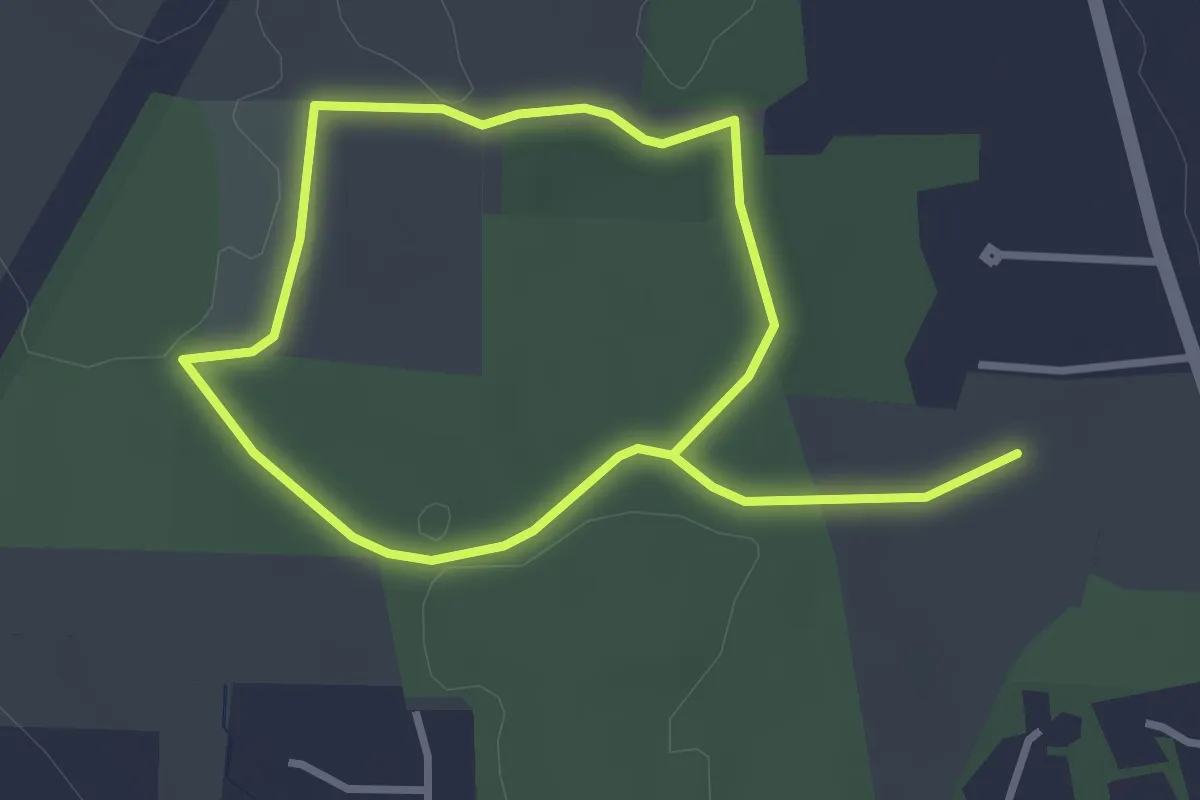
Easy · Trail
Blue Trail
5.5 km · ↑ 38 m · 1 h 23 min · 11 km away
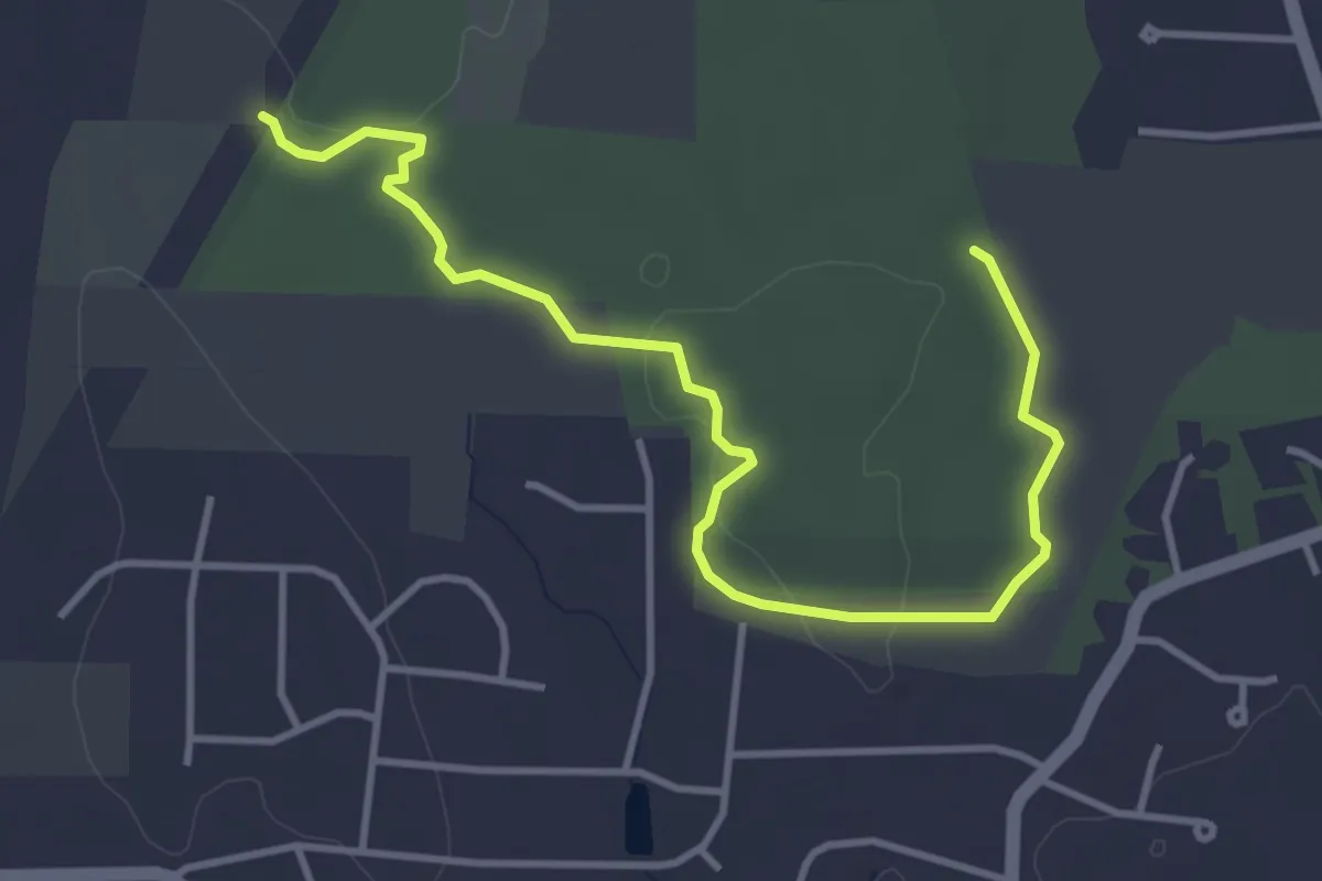
Easy · Trail
Orange Trail
4.8 km · ↑ 55 m · 1 h 16 min · 11 km away
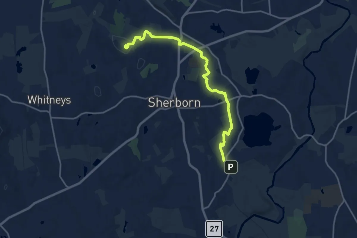
Medium · Summit
White Trail
12.5 km · ↑ 209 m · 3 h 24 min · 11 km away
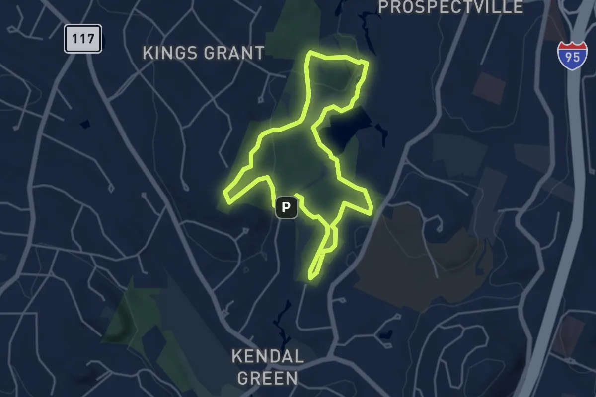
Easy · Summit
Cat Rock Loop
4.1 km · ↑ 79 m · 1 h 12 min · 12 km away
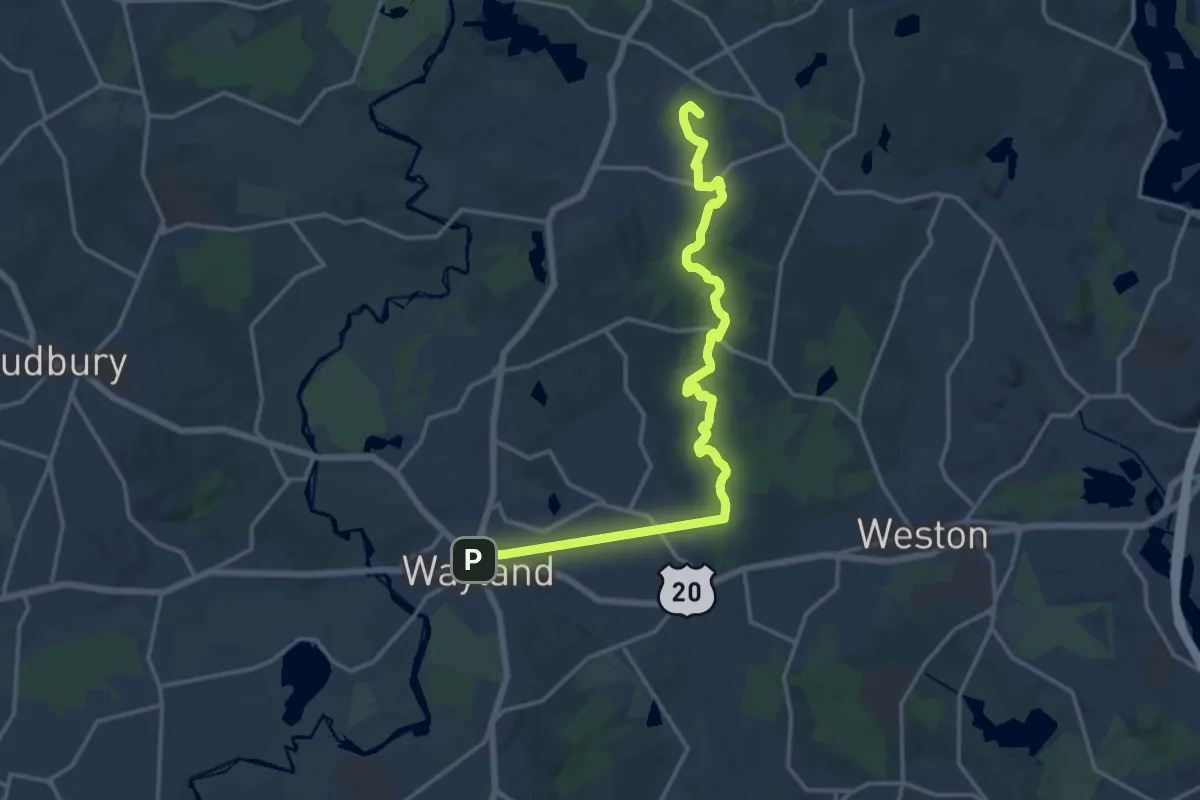
Demanding · Summit
BCT 7 First Drumlin Route (LincolnWeston/Wayland)
18.3 km · ↑ 137 m · 4 h 37 min · 14 km away
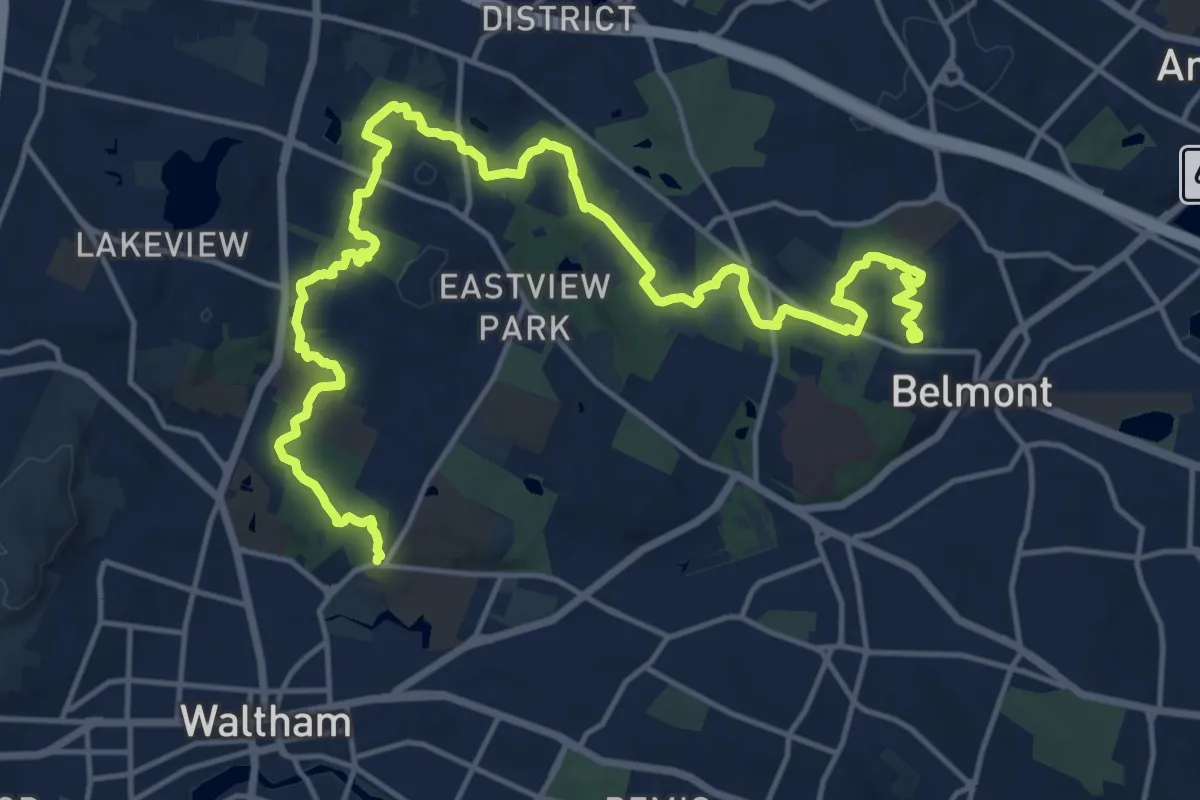
Demanding · Trail
Western Greenway
23.6 km · ↑ 323 m · 6 h 16 min · 14 km away
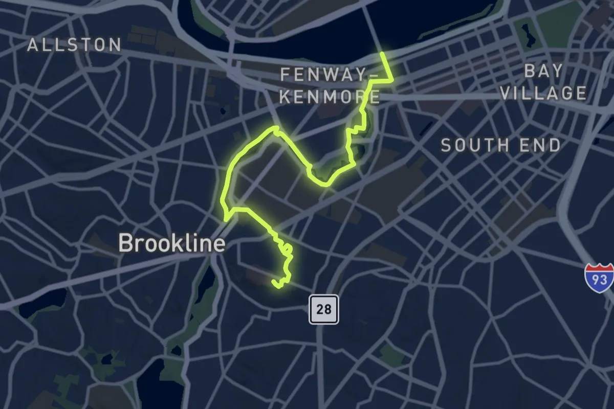
Medium · Summit
Walking City Trail Section 3
12.5 km · ↑ 62 m · 3 h 5 min · 14 km away
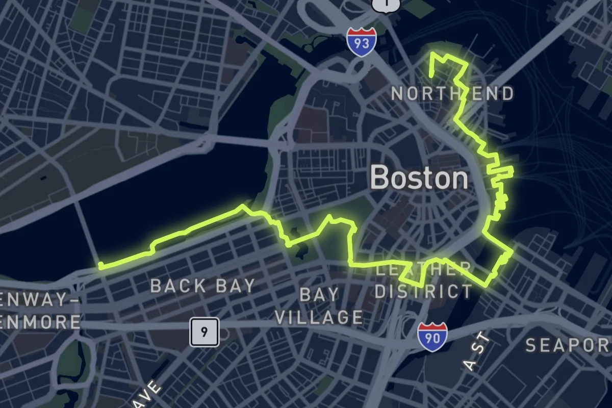
Medium · Summit
Walking City Trail Section 4
17.8 km · ↑ 103 m · 4 h 25 min · 14 km away
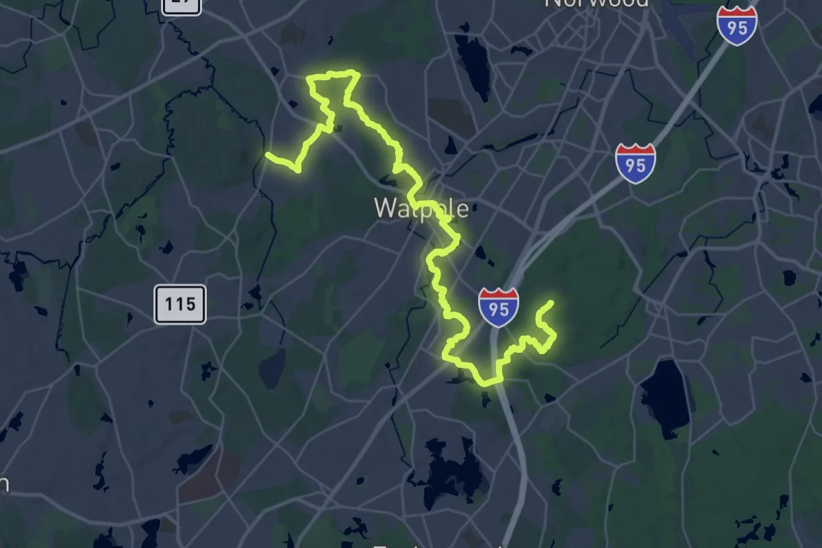
Demanding · Summit
BCT 10
47.1 km · ↑ 452 m · 12 h 7 min · 15 km away
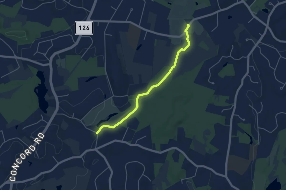
Easy · Trail
Hazel Brook to Ponyhenge
4.4 km · ↑ 39 m · 1 h 7 min · 15 km away