Trails near New Milford
23 hikes starting within 15 km, nearest first.
Nearest first
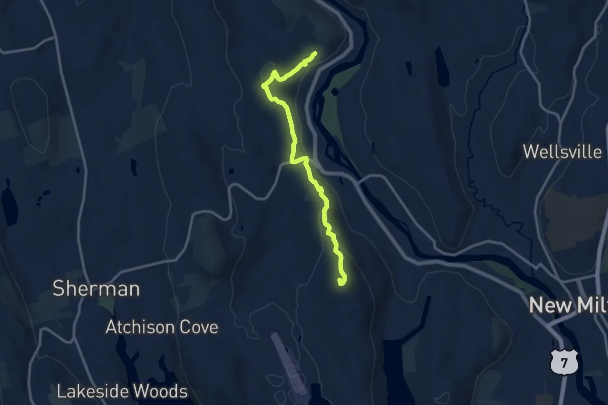
Medium · Summit
Housatonic Range Trail
9.8 km · ↑ 490 m · 3 h 22 min · 5 km away
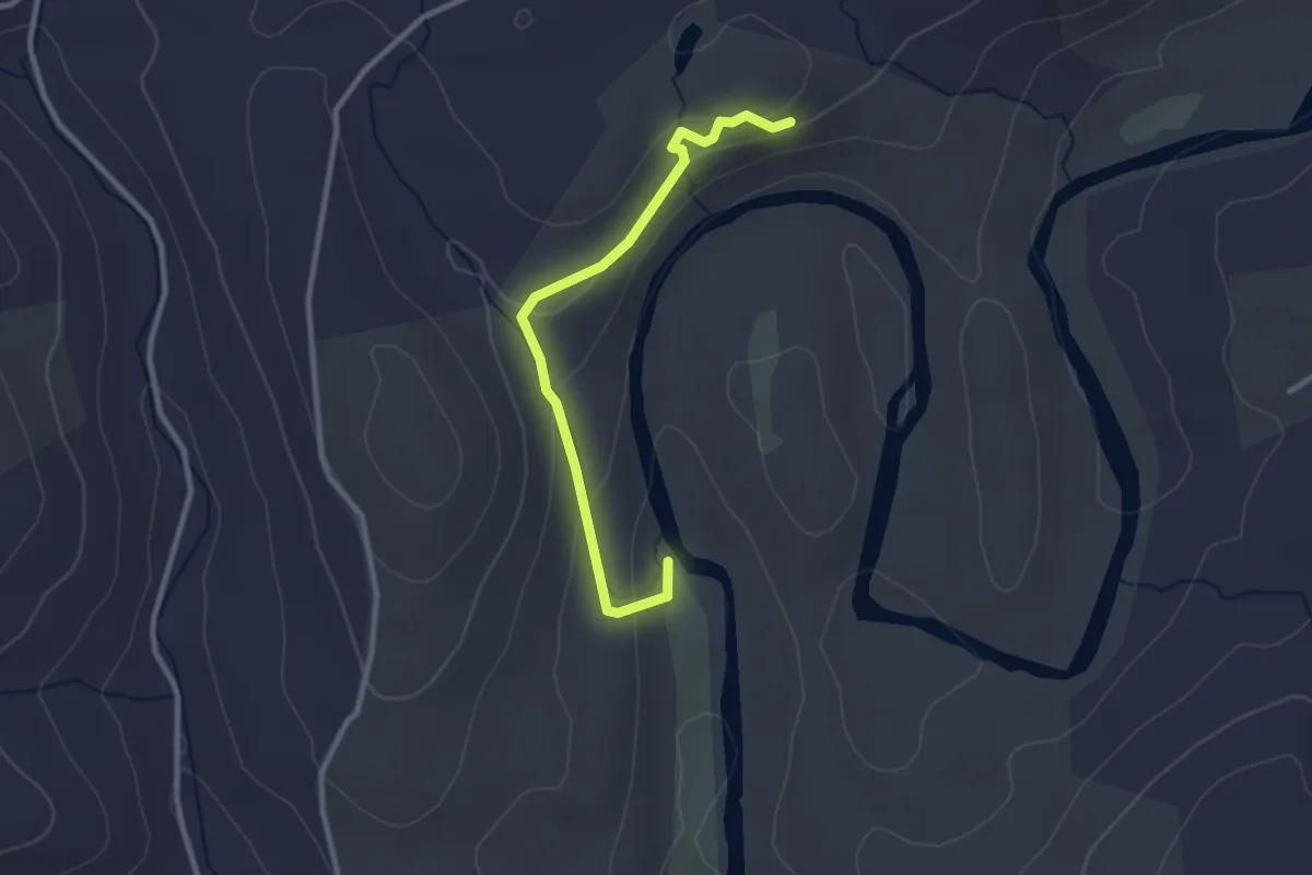
Easy · Summit
Shinar Trail
3.0 km · ↑ 158 m · 1 h 3 min · 7 km away
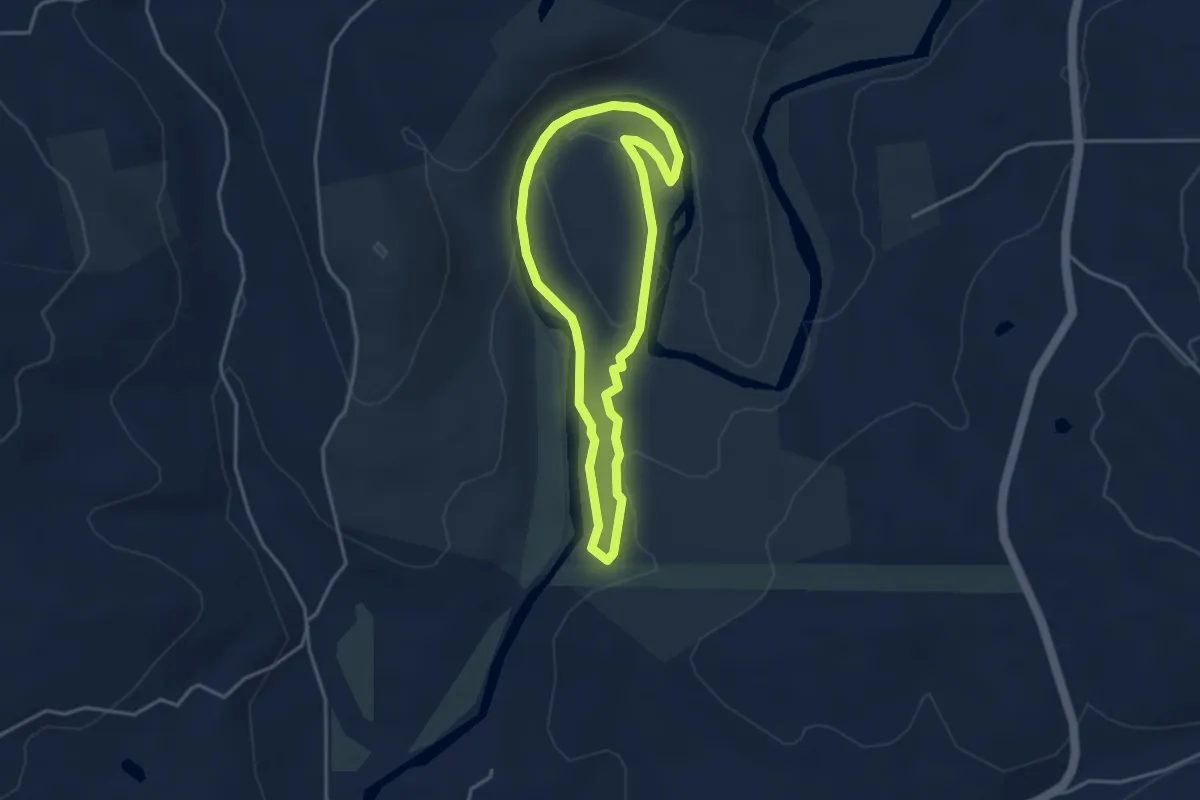
Easy · Trail
Clamshell Loop
3.6 km · ↑ 39 m · 59 min · 7 km away
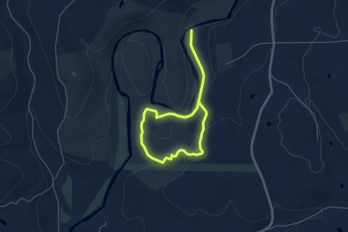
Easy · Trail
Pinney Loop
6.7 km · ↑ 177 m · 1 h 59 min · 7 km away
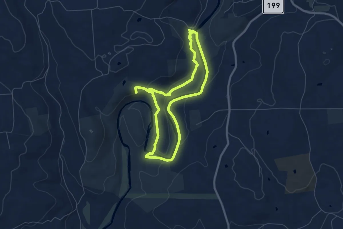
Medium · Summit
Steep Rock Loop
12.4 km · ↑ 293 m · 3 h 34 min · 8 km away
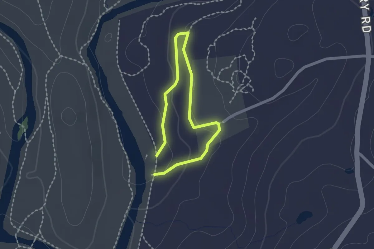
Easy · Trail
Brinsmade Loop
1.3 km · ↑ 31 m · 23 min · 8 km away
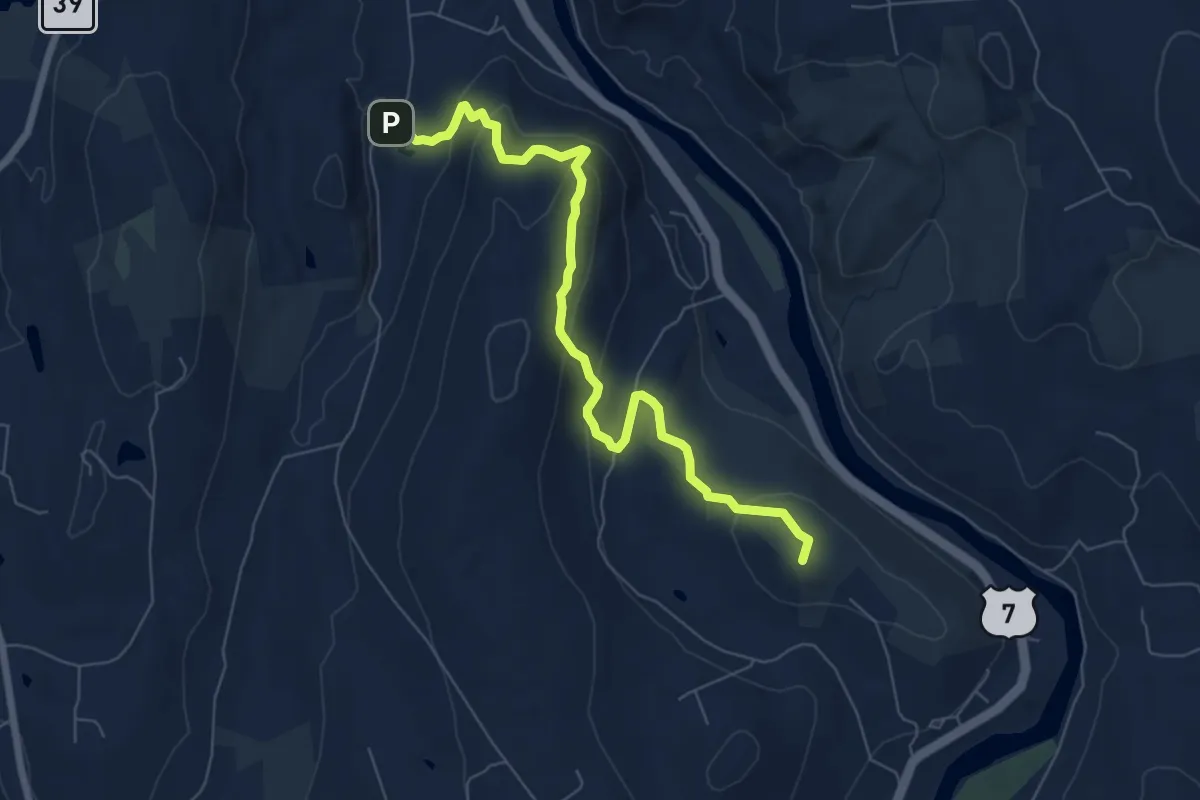
Medium · Summit
Housatonic Range Trail
7.9 km · ↑ 439 m · 2 h 49 min · 9 km away
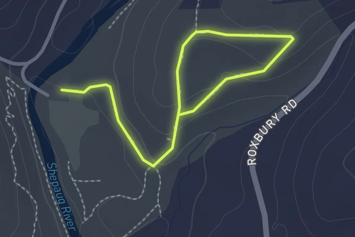
Easy · Trail
Holiday House Loop
2.9 km · ↑ 73 m · 51 min · 9 km away
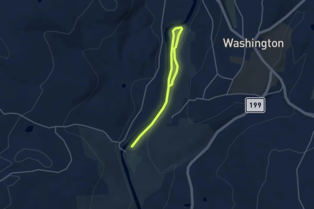
Easy · Trail
Northern Loop
3.7 km · ↑ 73 m · 1 h 2 min · 9 km away
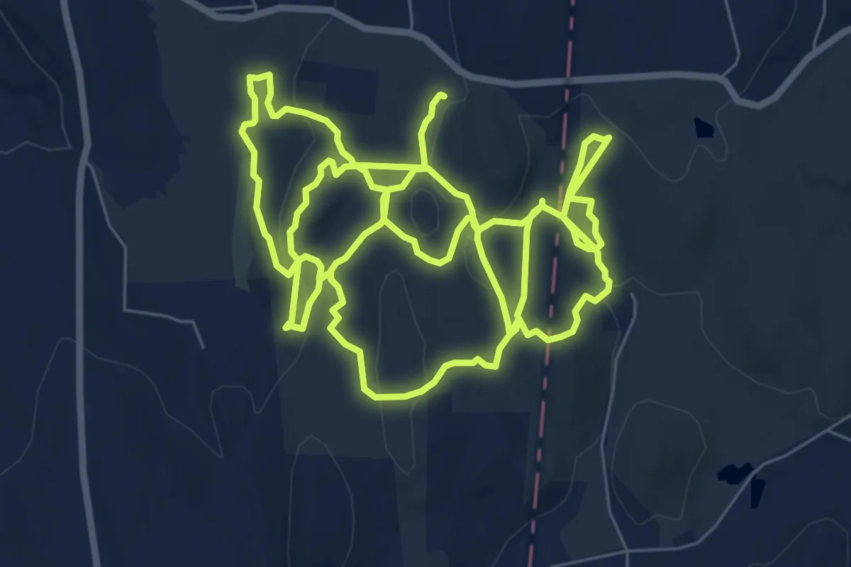
Demanding · Trail
Deer Pond Farm Trails
18.8 km · ↑ 468 m · 5 h 27 min · 10 km away
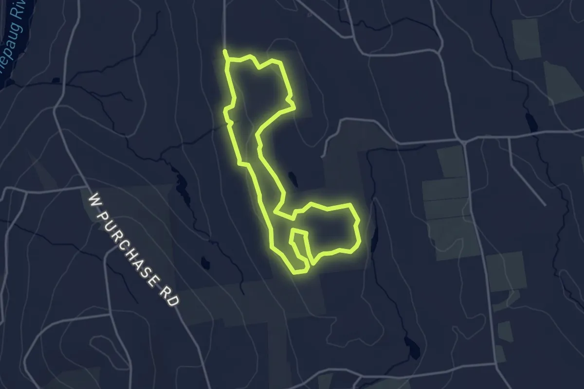
Easy · Trail
Bassett Loop Trail
3.7 km · ↑ 38 m · 1 h 1 min · 12 km away
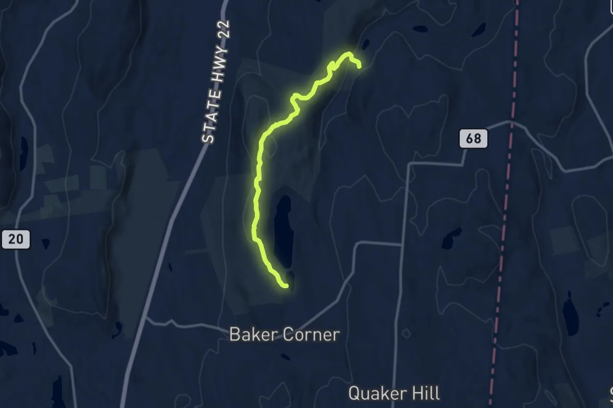
Medium · Trail
Red Trail
10.3 km · ↑ 229 m · 2 h 55 min · 13 km away
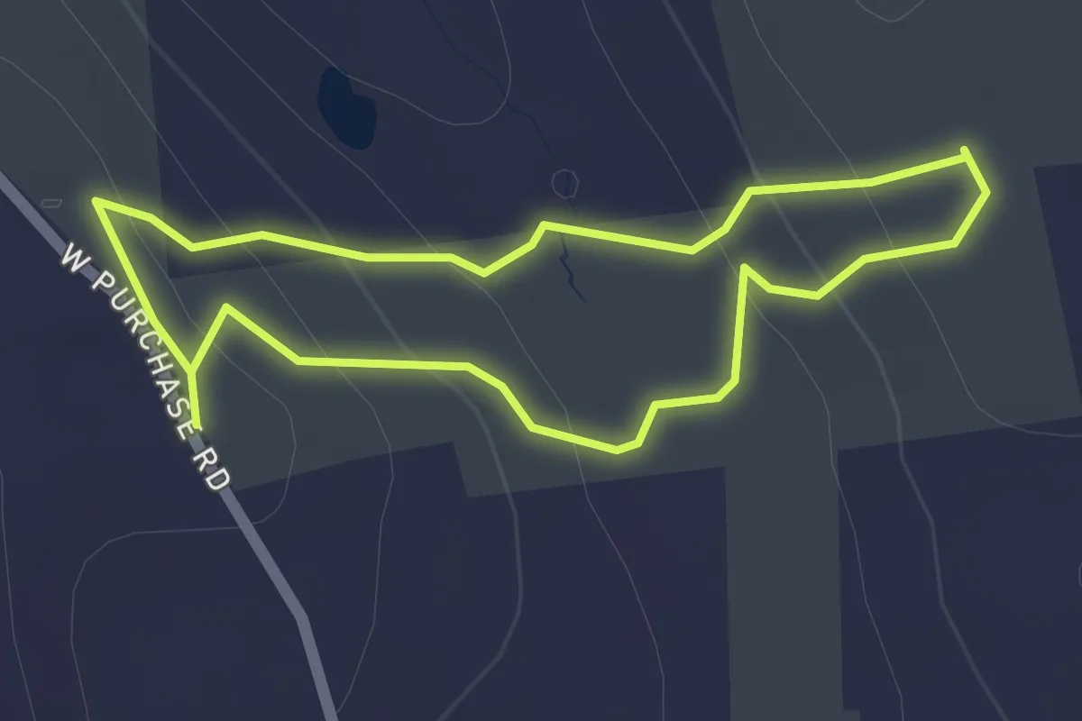
Easy · Trail
Ivers Loop Trail
1.8 km · ↑ 82 m · 38 min · 13 km away
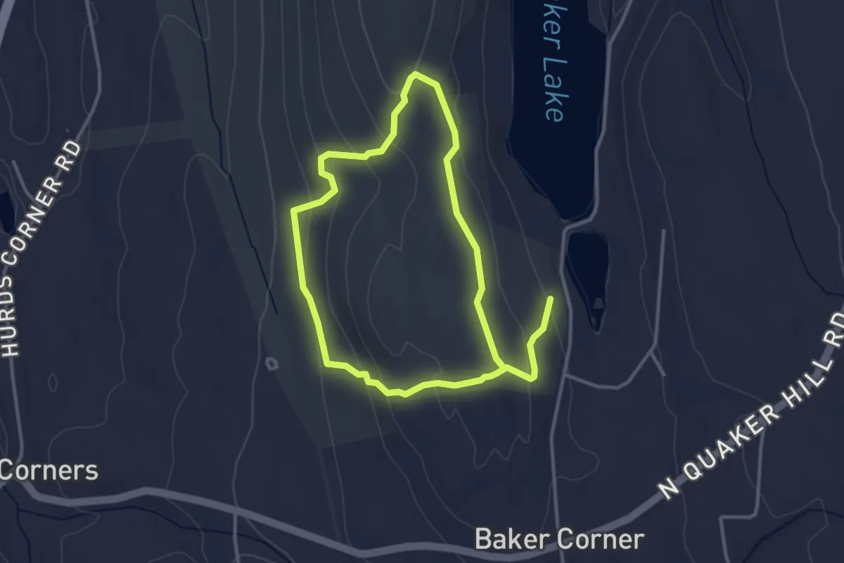
Easy · Trail
Blue Trail
6.5 km · ↑ 219 m · 2 h · 13 km away
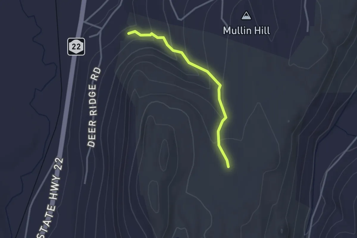
Easy · Trail
Purple Trail
2.6 km · ↑ 129 m · 54 min · 13 km away
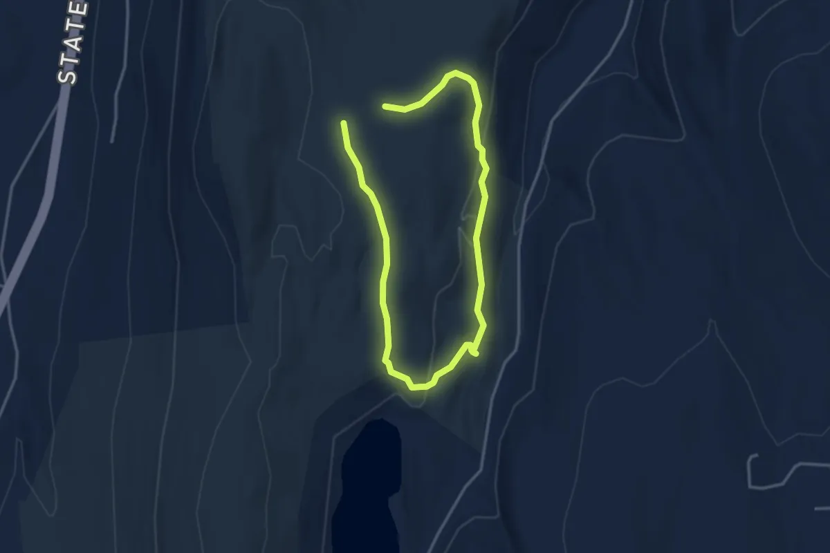
Easy · Trail
Yellow Trail
5.5 km · ↑ 186 m · 1 h 42 min · 13 km away
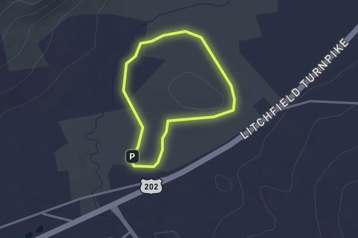
Easy · Trail
Hay Field Loop
1.9 km · ↑ 9 m · 29 min · 14 km away
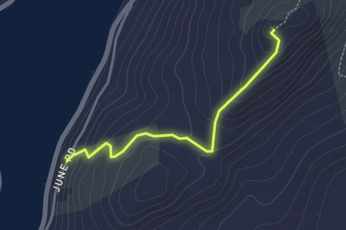
Easy · Trail
Waramaug Trail
2.5 km · ↑ 148 m · 54 min · 14 km away
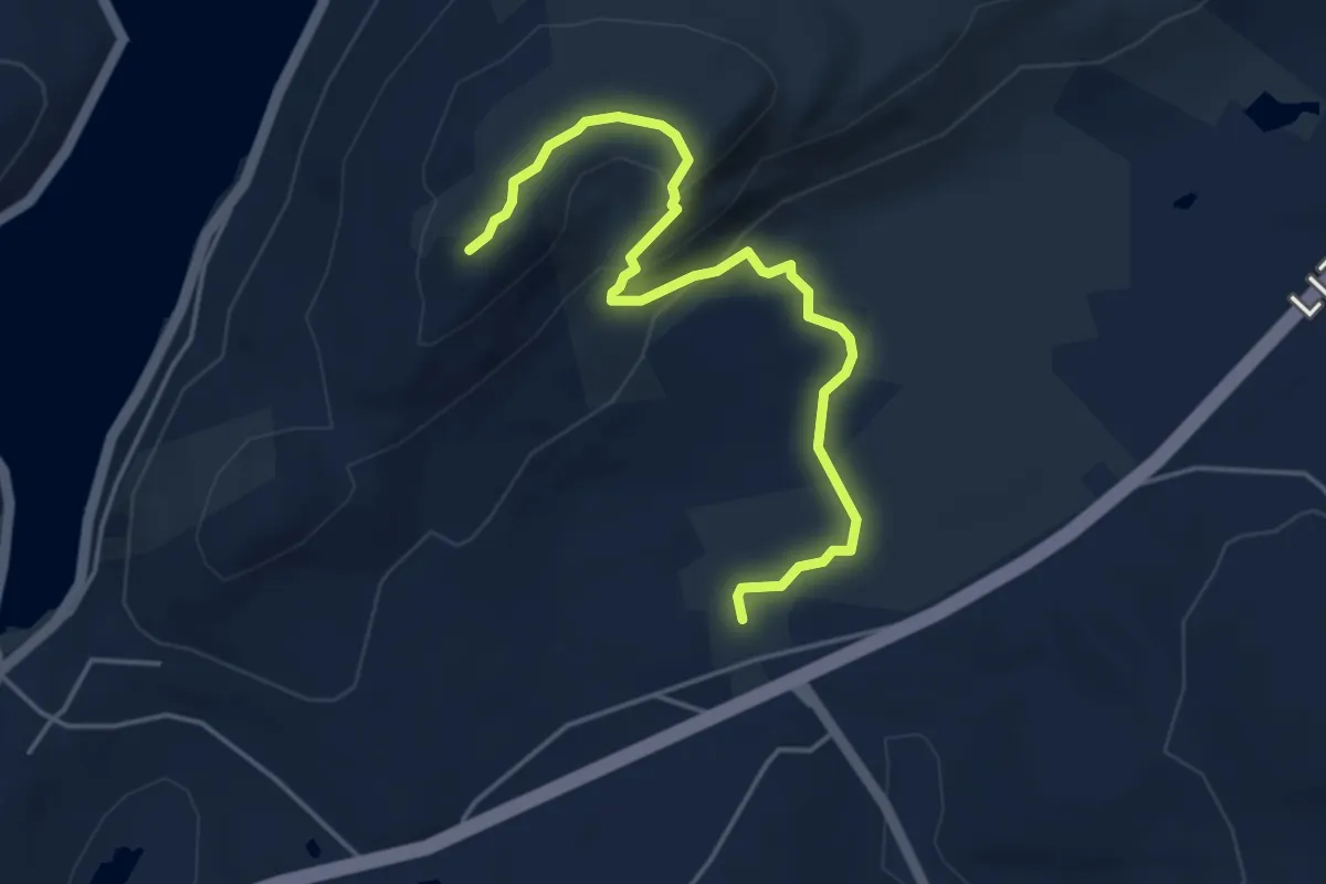
Easy · Trail
Meeker Trail
5.2 km · ↑ 183 m · 1 h 38 min · 14 km away
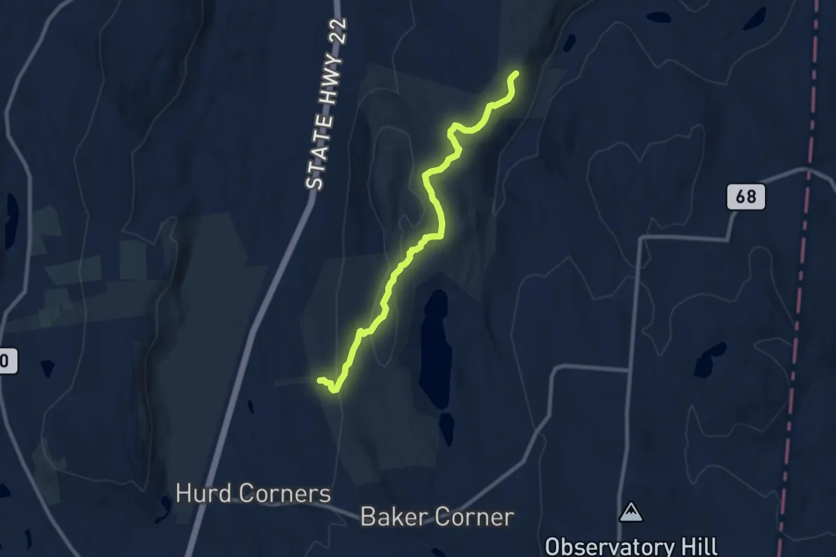
Medium · Trail
White Trail
8.8 km · ↑ 250 m · 2 h 37 min · 14 km away
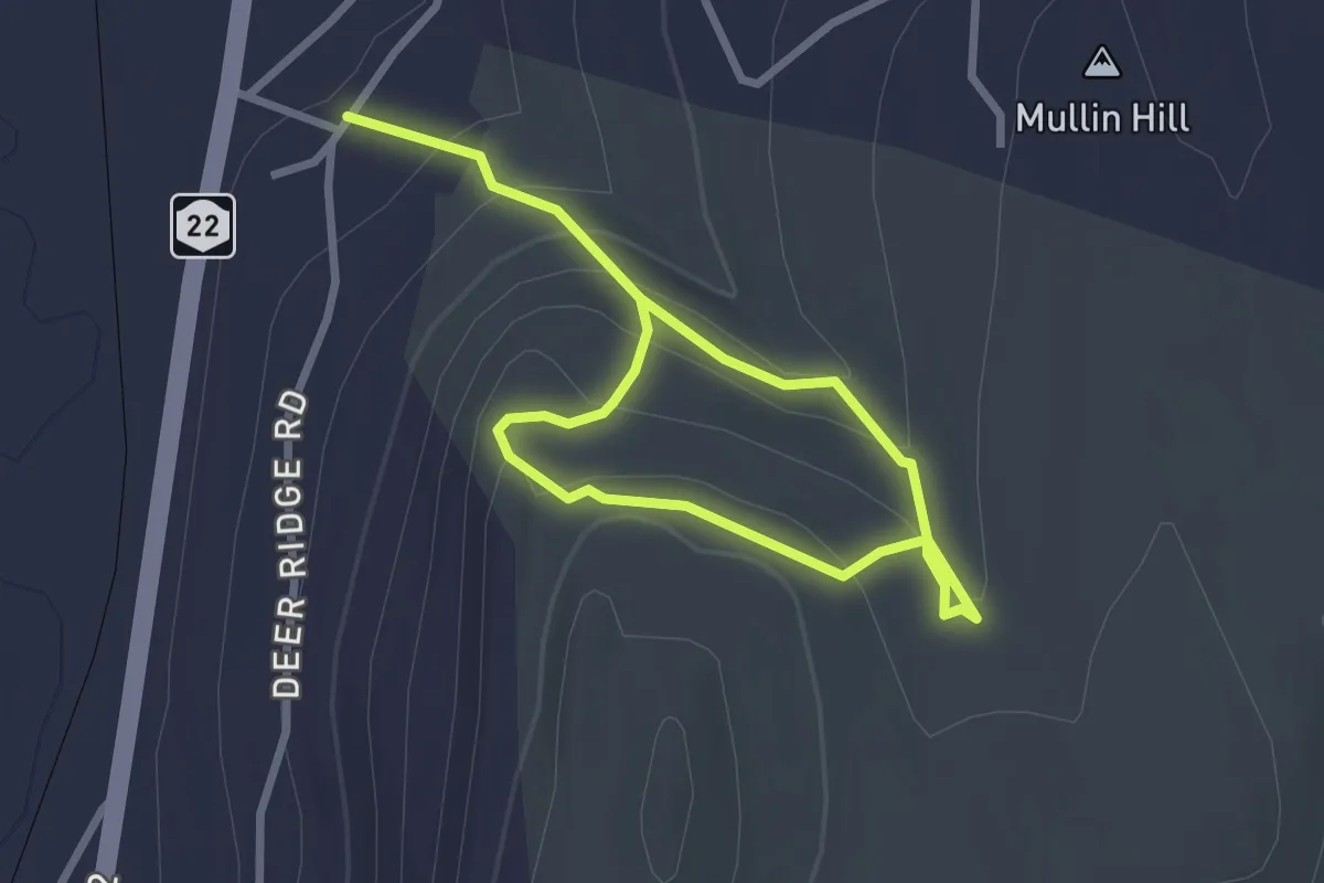
Easy · Trail
Orange Trail
4.2 km · ↑ 231 m · 1 h 30 min · 14 km away
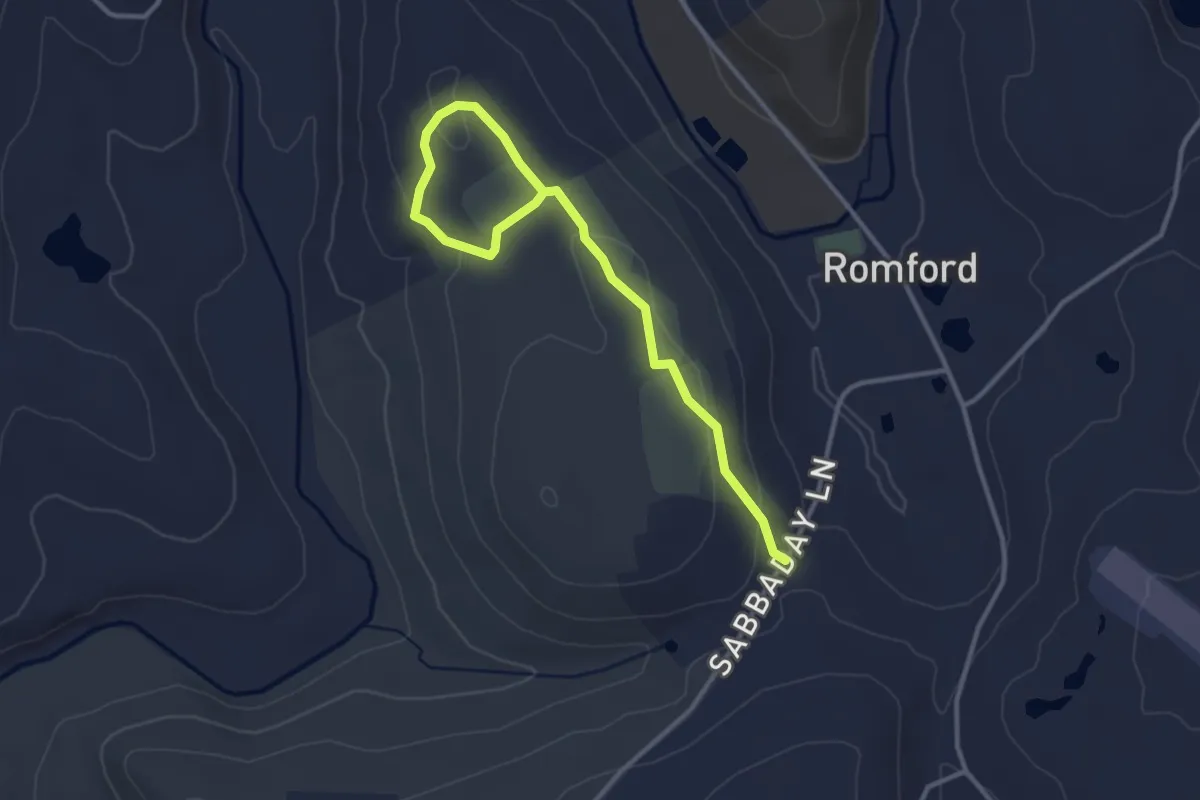
Easy · Trail
Bronson Fields Trail
4.0 km · ↑ 84 m · 1 h 8 min · 14 km away
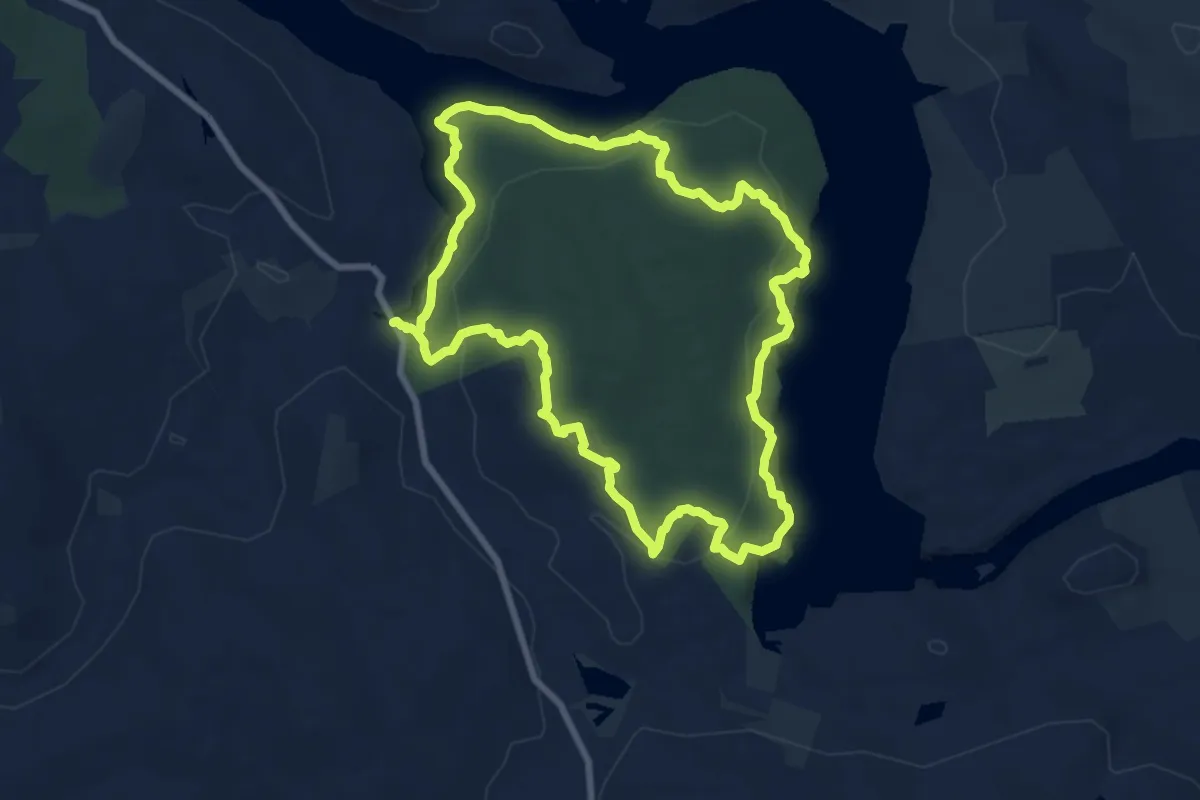
Medium · Trail
Lillinoah Trail
8.8 km · ↑ 335 m · 2 h 55 min · 15 km away