Trails near Newtown
38 hikes starting within 15 km, nearest first.
Nearest first
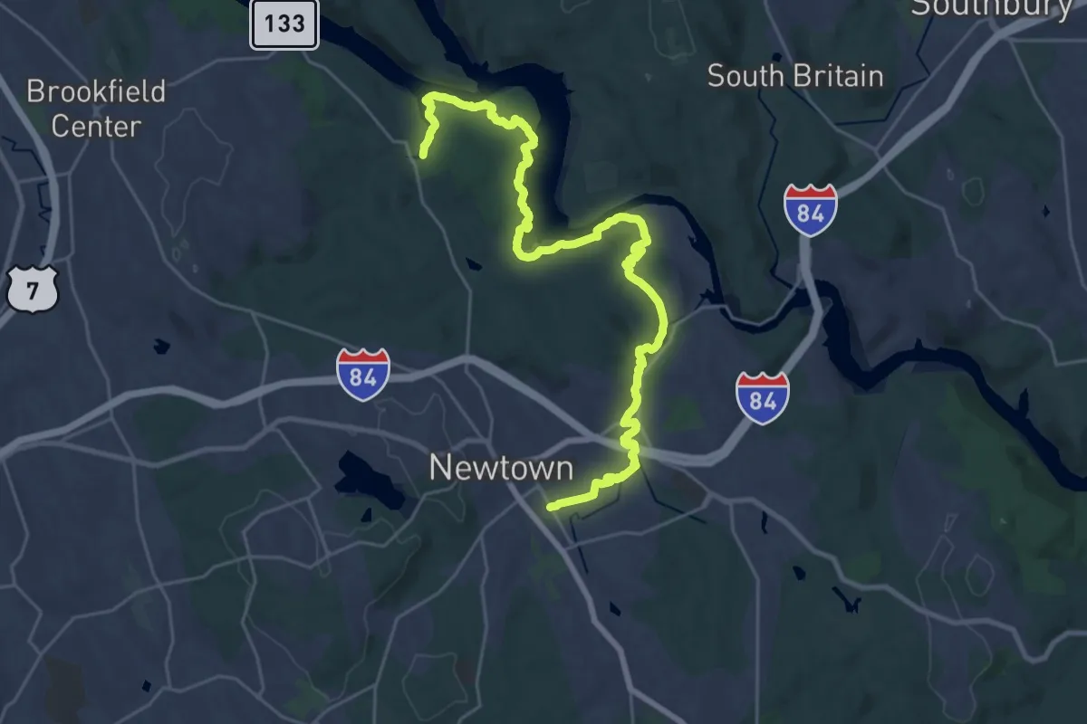
Medium · Trail
Al's Trail
16.0 km · ↑ 409 m · 4 h 55 min · 1 km away
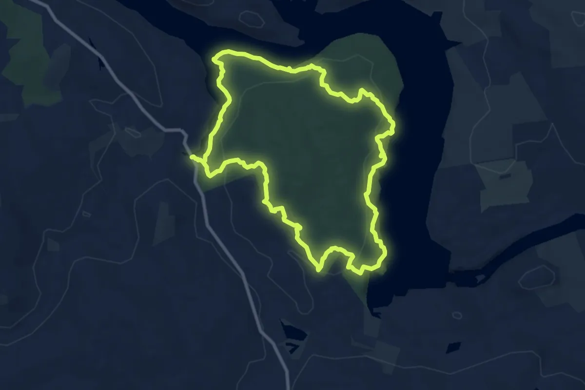
Medium · Trail
Lillinoah Trail
8.8 km · ↑ 335 m · 2 h 55 min · 5 km away
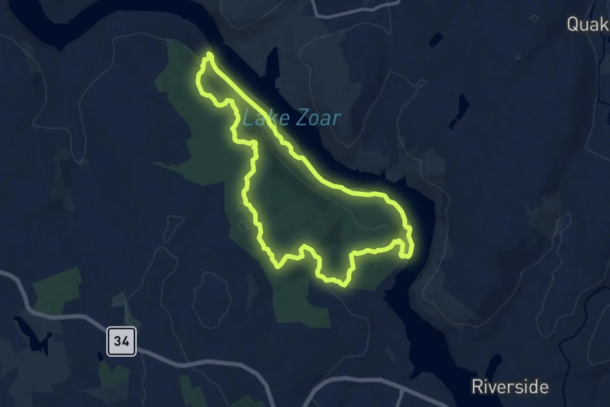
Medium · Trail
Zoar Trail
10.1 km · ↑ 343 m · 3 h 15 min · 8 km away
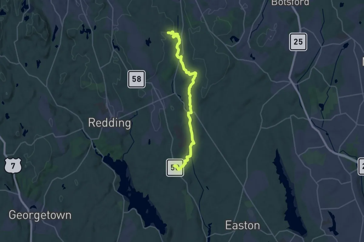
Demanding · Trail
Aspetuck Valley Trail
21.9 km · ↑ 370 m · 5 h 59 min · 8 km away
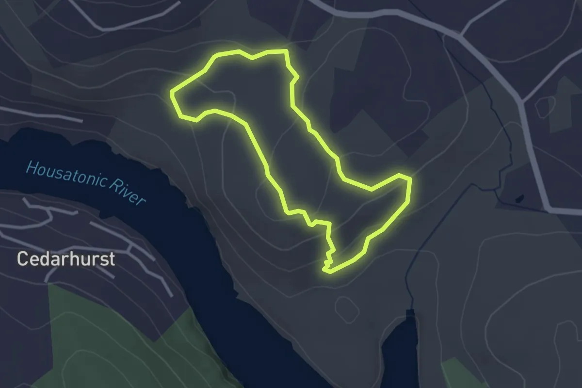
Easy · Trail
Miller Trail
2.9 km · ↑ 106 m · 57 min · 8 km away
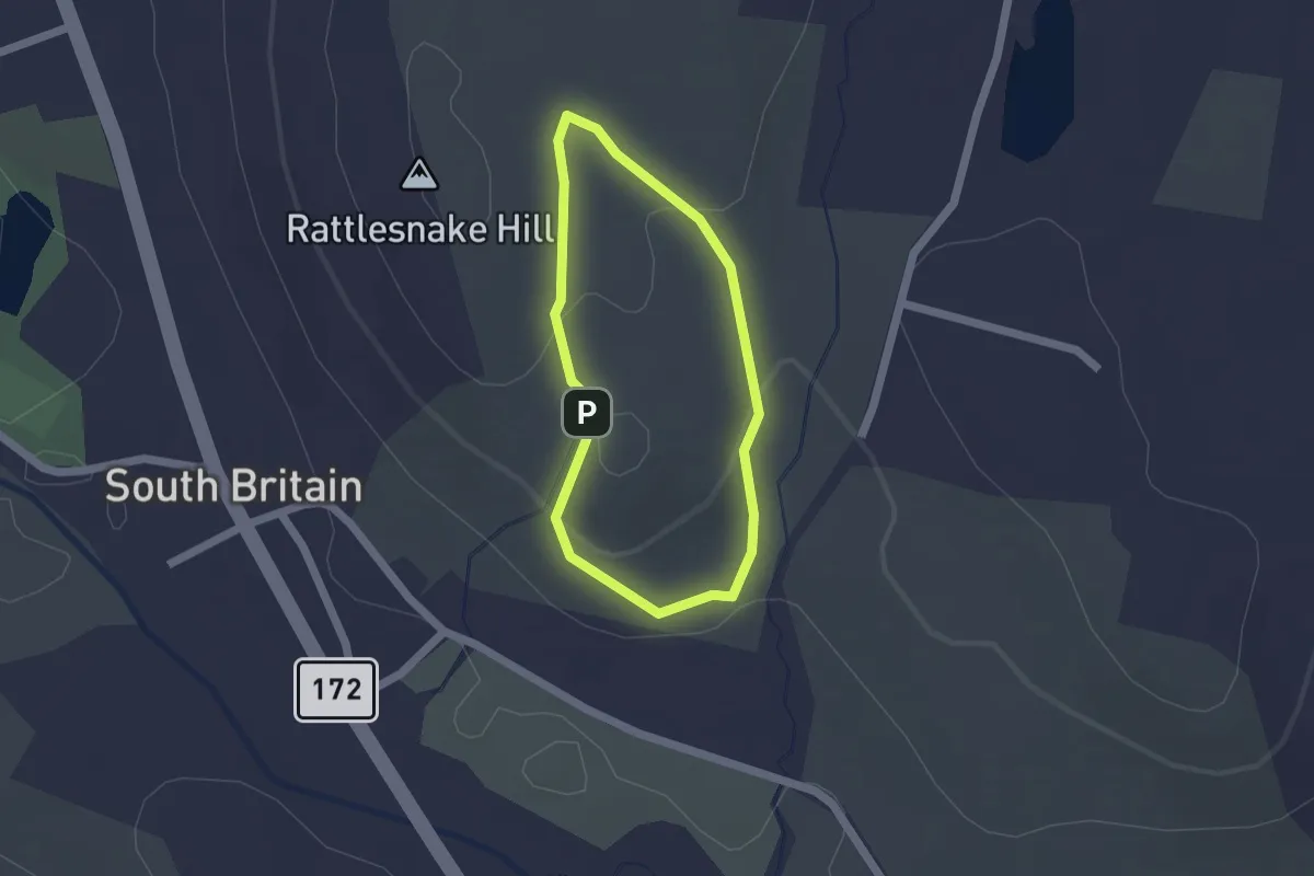
Easy · Trail
Blue Trail
1.5 km · ↑ 36 m · 27 min · 8 km away
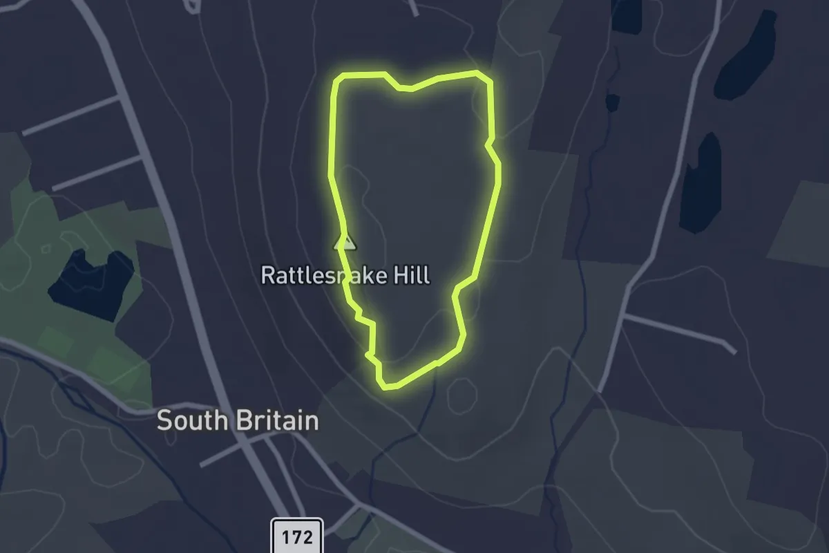
Easy · Summit
Red Trail
1.9 km · ↑ 59 m · 36 min · 8 km away
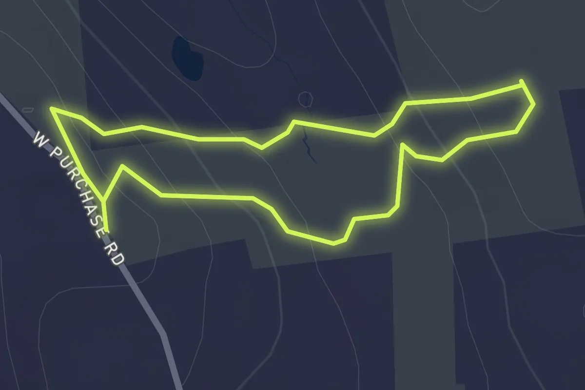
Easy · Trail
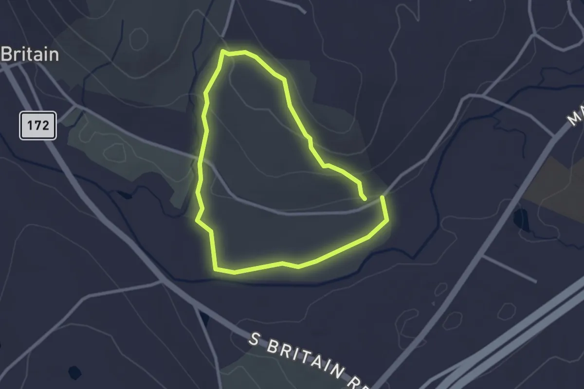
Ivers Loop Trail
1.8 km · ↑ 82 m · 38 min · 8 km away
Easy · Trail
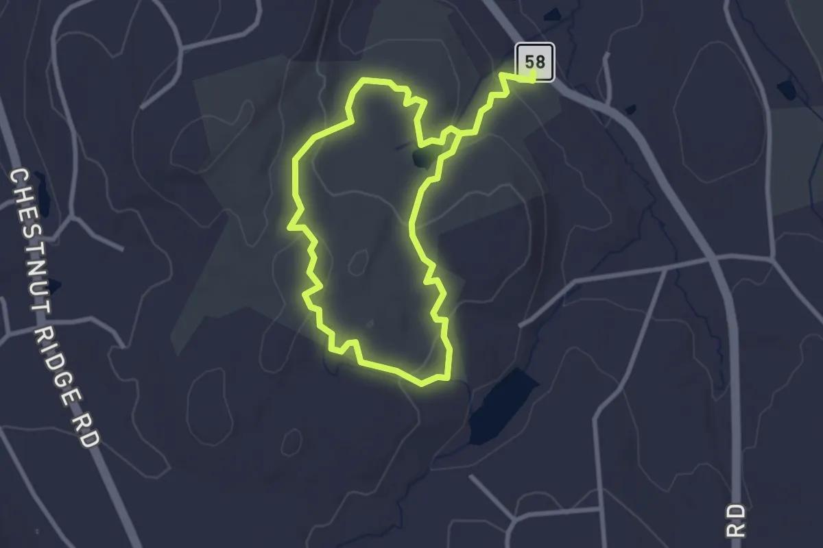
Blue Trail
2.4 km · ↑ 62 m · 44 min · 8 km away
Easy · Trail
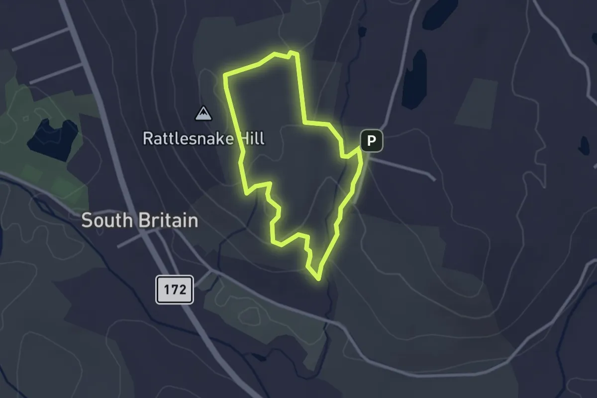
Stephenson Trail
5.3 km · ↑ 163 m · 1 h 36 min · 9 km away
Easy · Summit
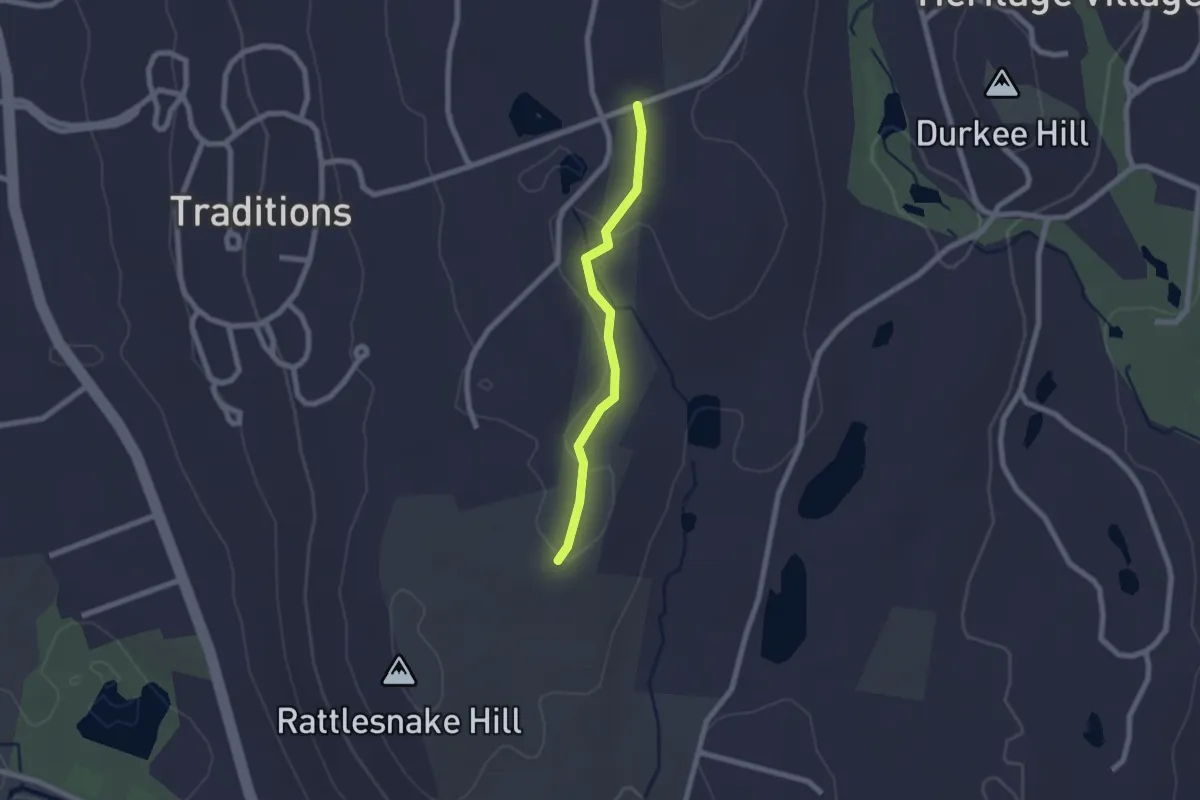
Yellow Trail
2.5 km · ↑ 91 m · 50 min · 9 km away
Easy · Trail
White Trail
2.0 km · ↑ 28 m · 32 min · 9 km away
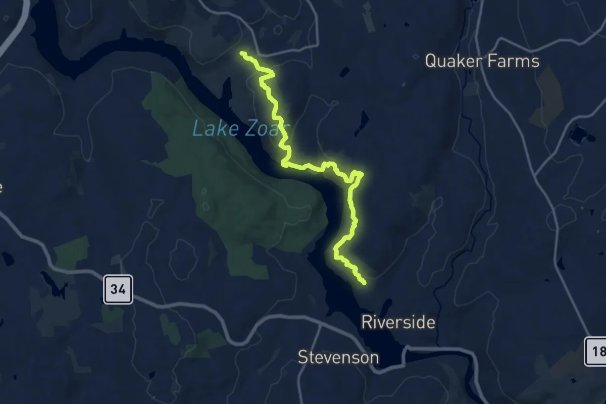
Medium · Trail
Pomperaug Trail
13.9 km · ↑ 653 m · 4 h 42 min · 9 km away
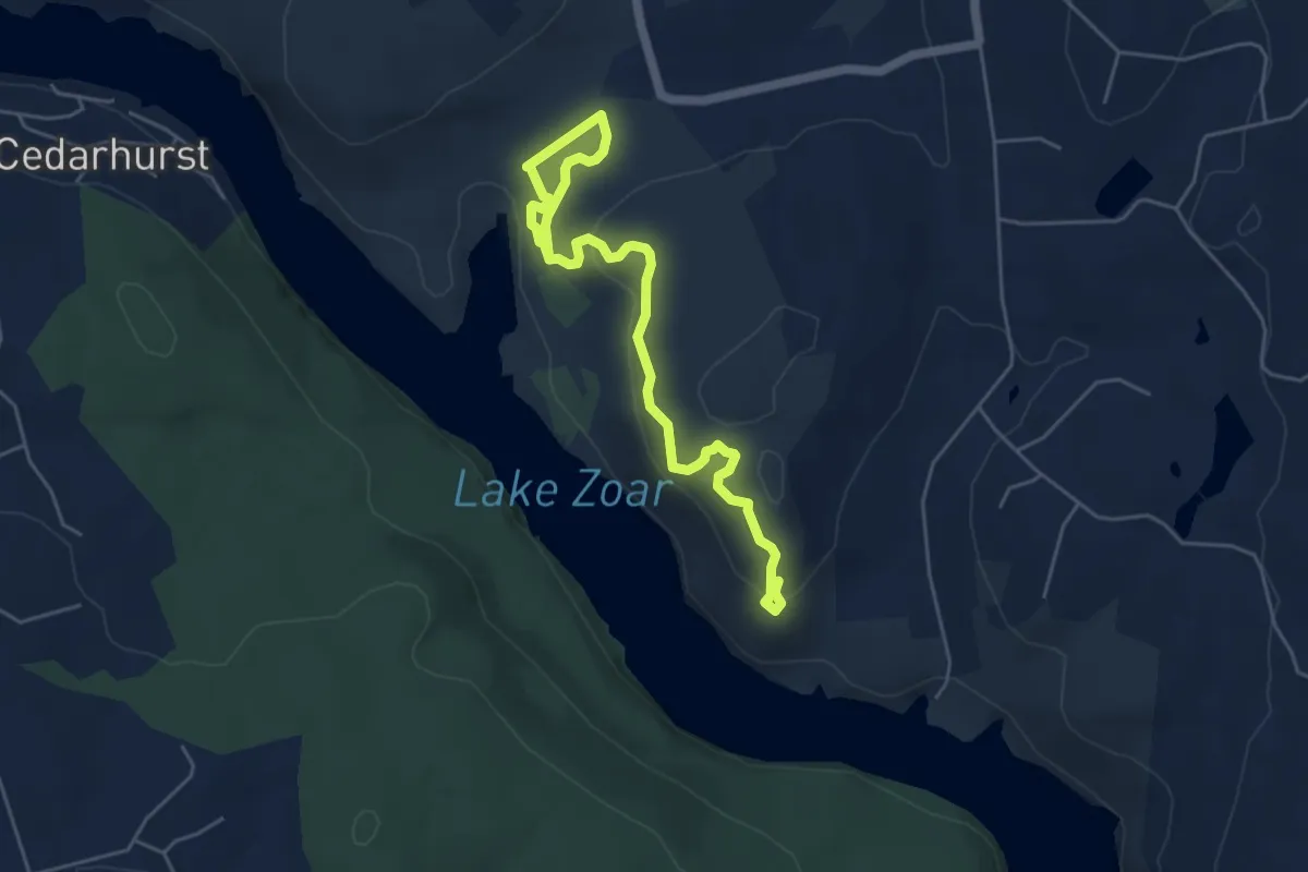
Easy · Trail
Crest Trail
6.7 km · ↑ 261 m · 2 h 9 min · 9 km away
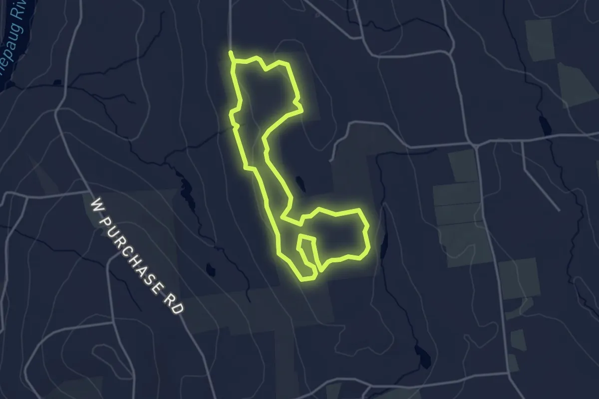
Easy · Trail
Bassett Loop Trail
3.7 km · ↑ 38 m · 1 h 1 min · 10 km away
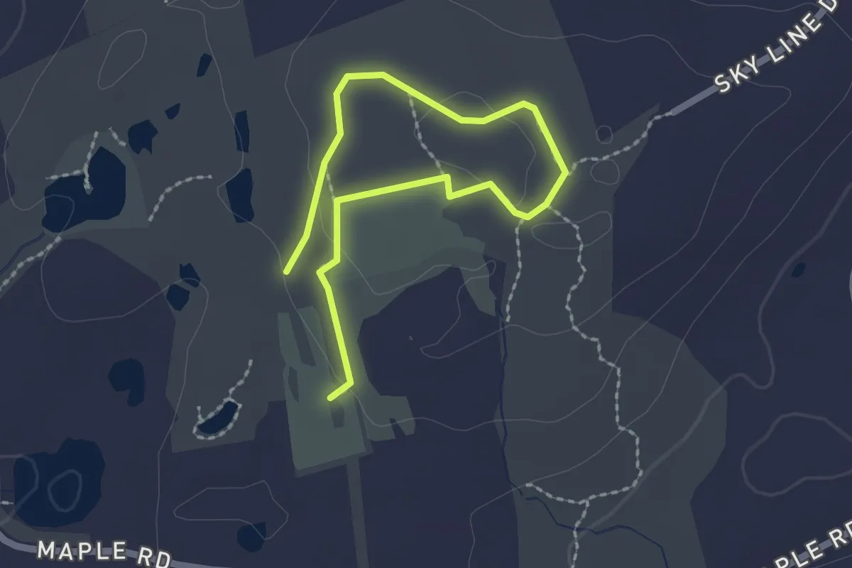
Easy · Trail
Oak Hill Trail
2.9 km · ↑ 40 m · 47 min · 11 km away
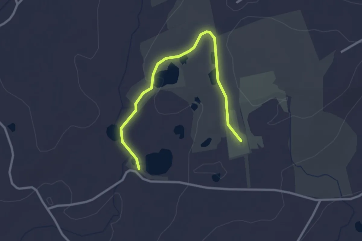
Easy · Trail
Seven Ponds Trail
3.0 km · ↑ 24 m · 46 min · 11 km away
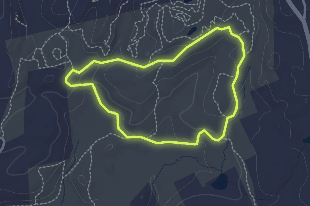
Easy · Trail
Gneiss Trail
2.1 km · ↑ 46 m · 37 min · 12 km away
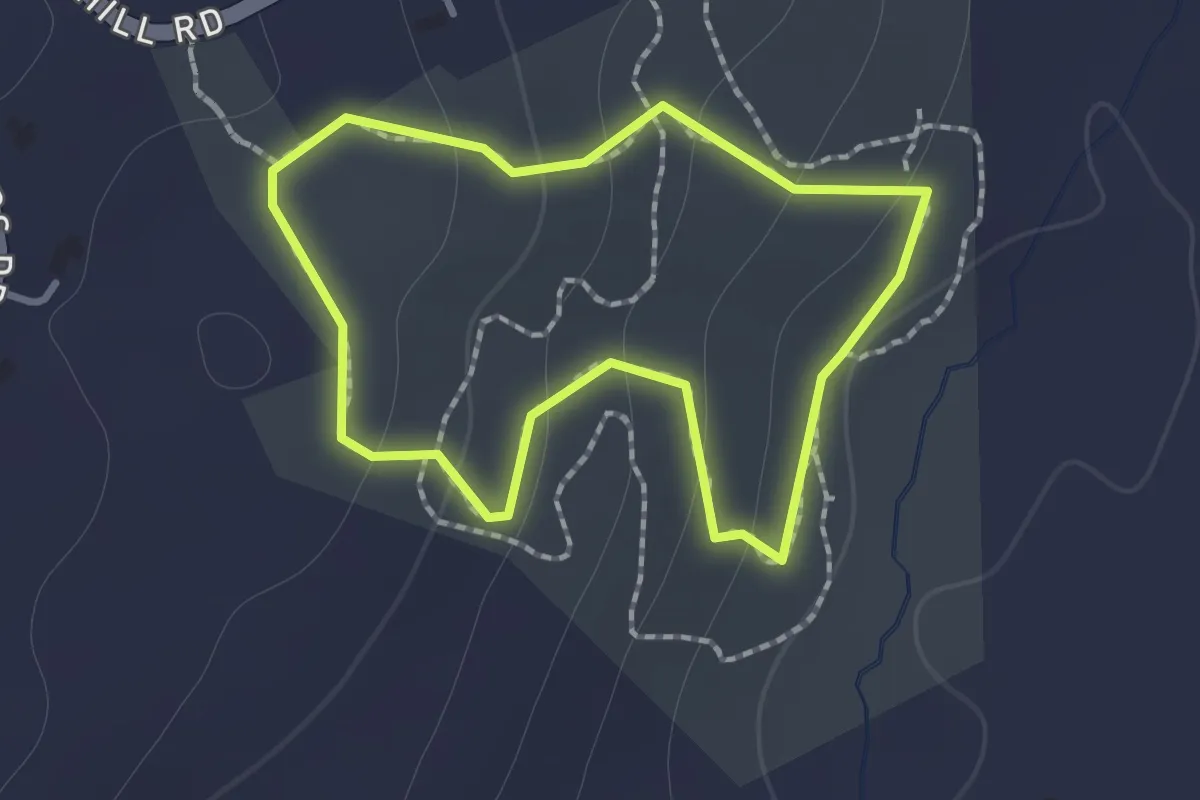
Easy · Trail
Blue Trail
1.2 km · ↑ 62 m · 25 min · 12 km away
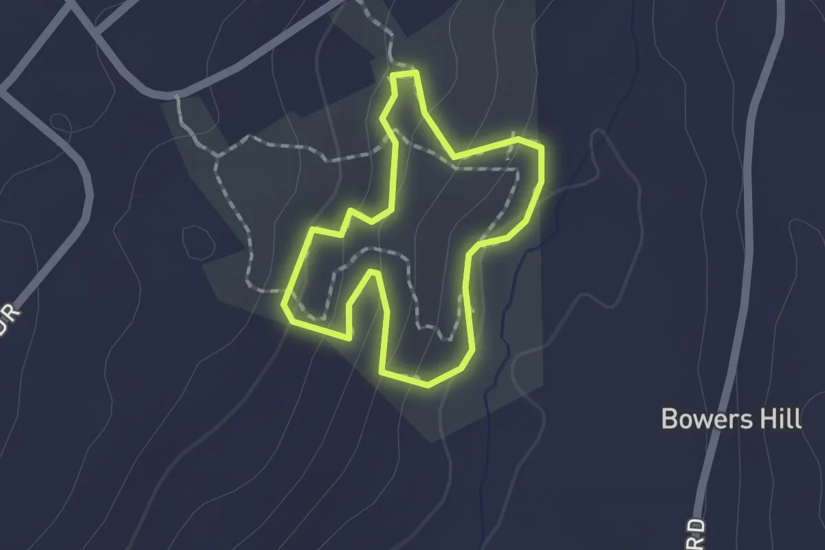
Easy · Trail
Red Trail
1.4 km · ↑ 55 m · 27 min · 12 km away
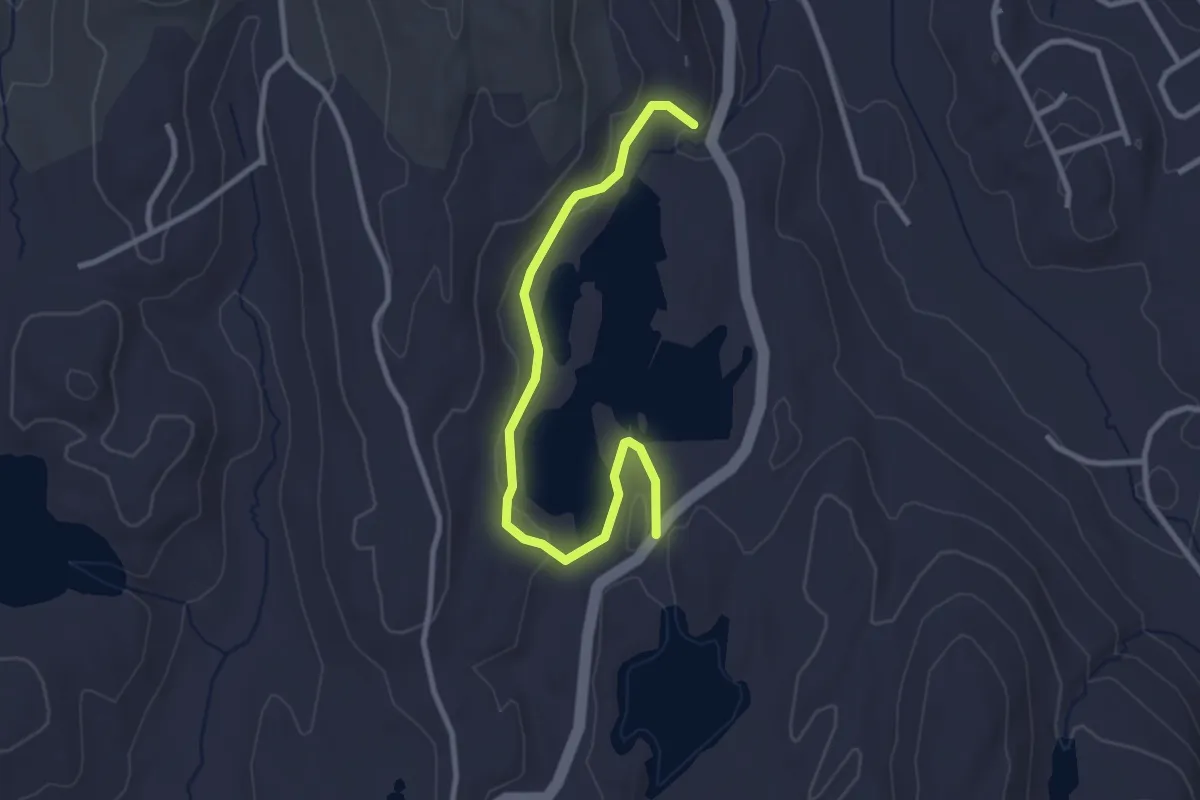
Easy · Trail
Eureka Lake Path
3.3 km · ↑ 71 m · 57 min · 12 km away
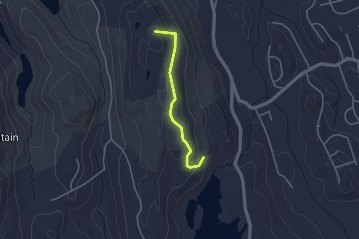
Easy · Summit
Ives Trail Greenway Alternative
2.5 km · ↑ 140 m · 54 min · 12 km away
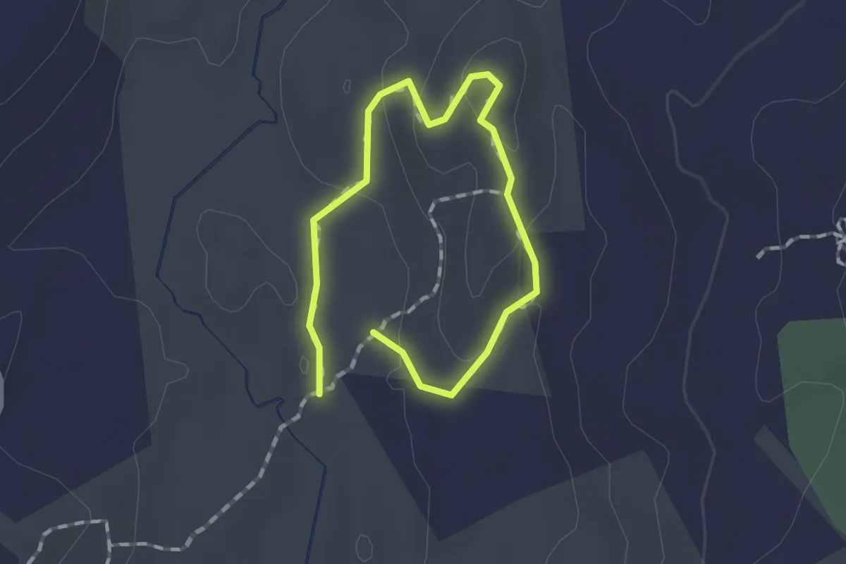
Easy · Trail
The Noose
1.0 km · ↑ 37 m · 19 min · 13 km away
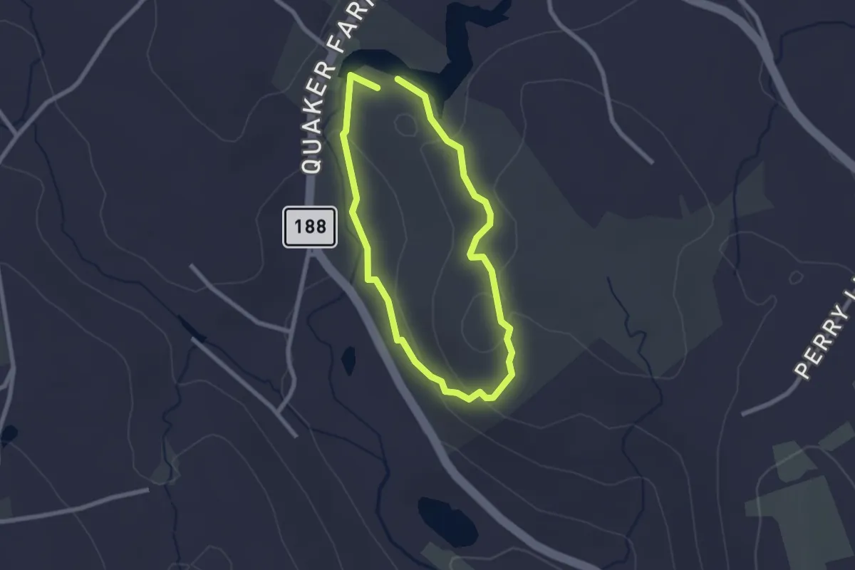
Easy · Trail
Red Trail
2.1 km · ↑ 67 m · 41 min · 13 km away
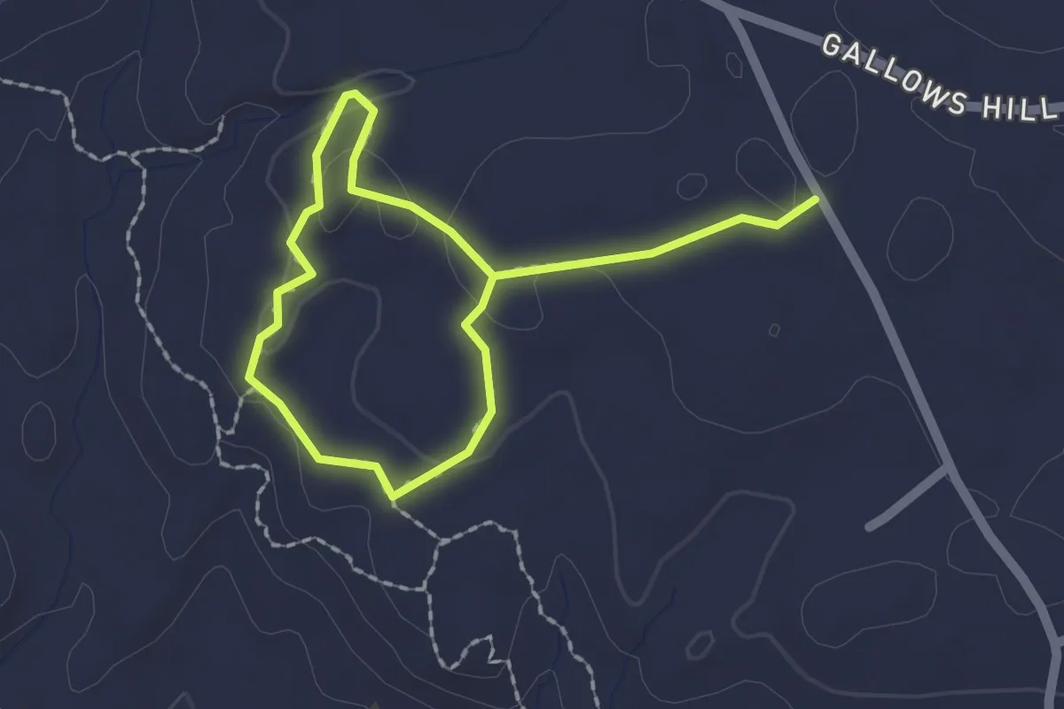
Easy · Trail
Turkington Falls Loop
3.0 km · ↑ 41 m · 48 min · 13 km away
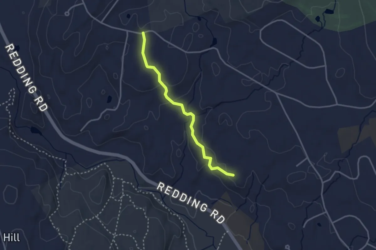
Easy · Trail
Reeve Biggers Trail
2.9 km · ↑ 99 m · 54 min · 14 km away
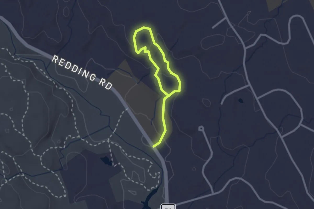
Easy · Trail
Dan Beard Trail
2.9 km · ↑ 88 m · 53 min · 14 km away
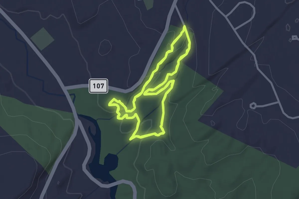
Easy · Trail
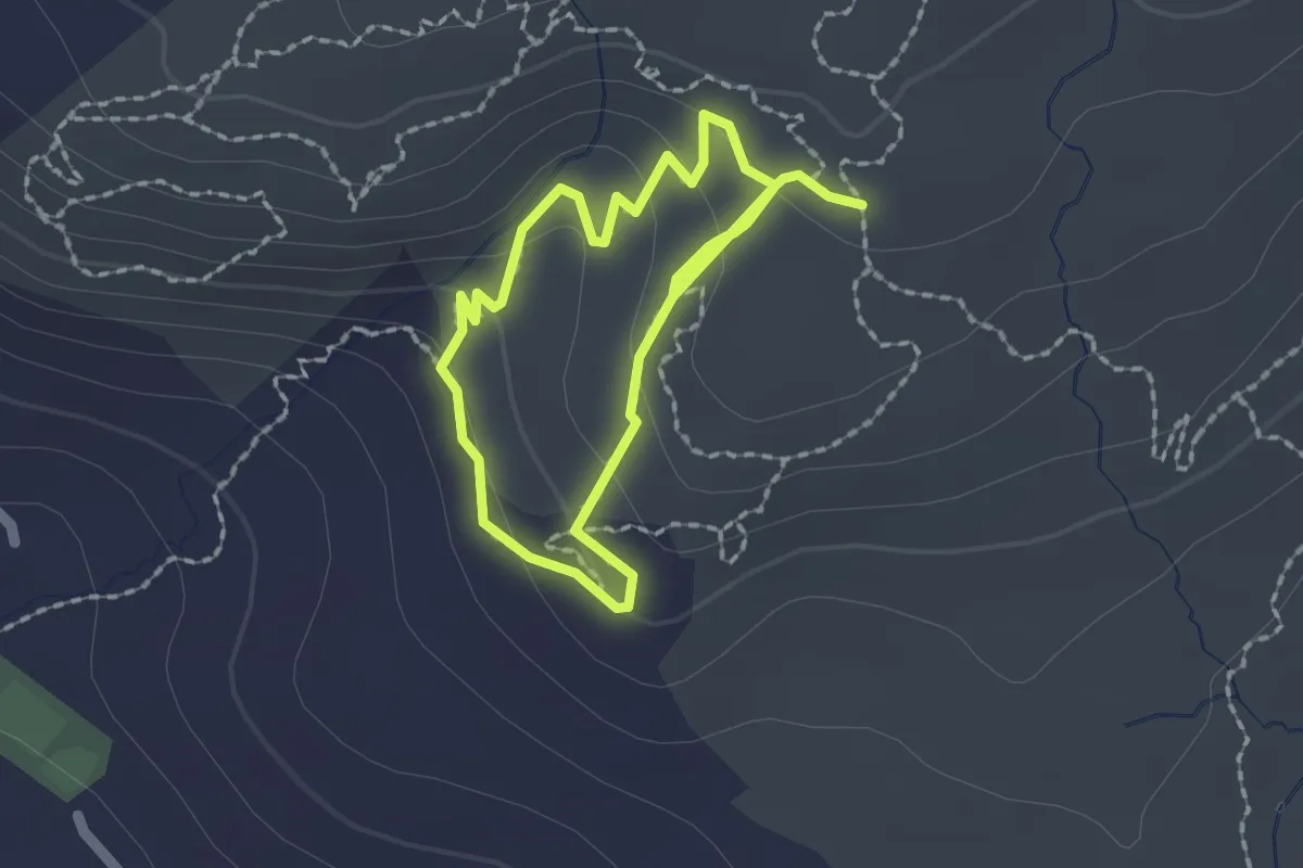
Two Ridges Trail
4.6 km · ↑ 155 m · 1 h 30 min · 15 km away
Easy · Trail
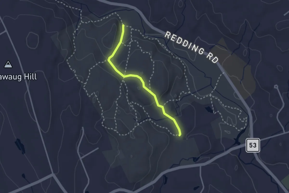
Green-Yellow Trail
3.4 km · ↑ 115 m · 1 h 3 min · 15 km away
Easy · Trail
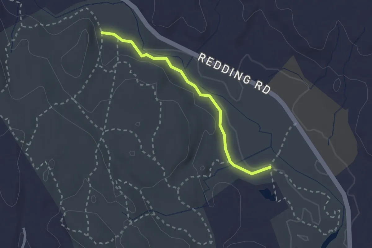
Knapp Way
2.5 km · ↑ 73 m · 45 min · 15 km away
Easy · Trail
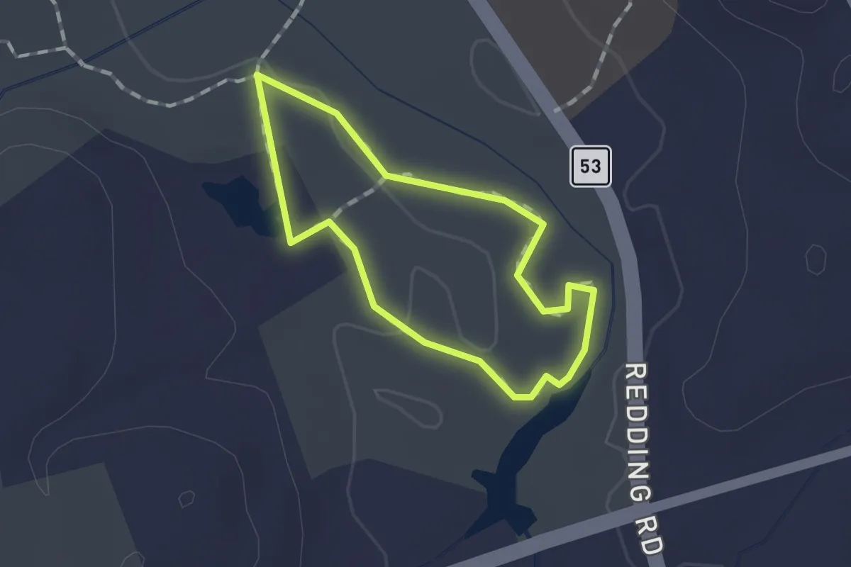
Falls Trail
2.2 km · ↑ 19 m · 33 min · 15 km away
Easy · Trail
Old Field
1.0 km · ↑ 4 m · 16 min · 15 km away
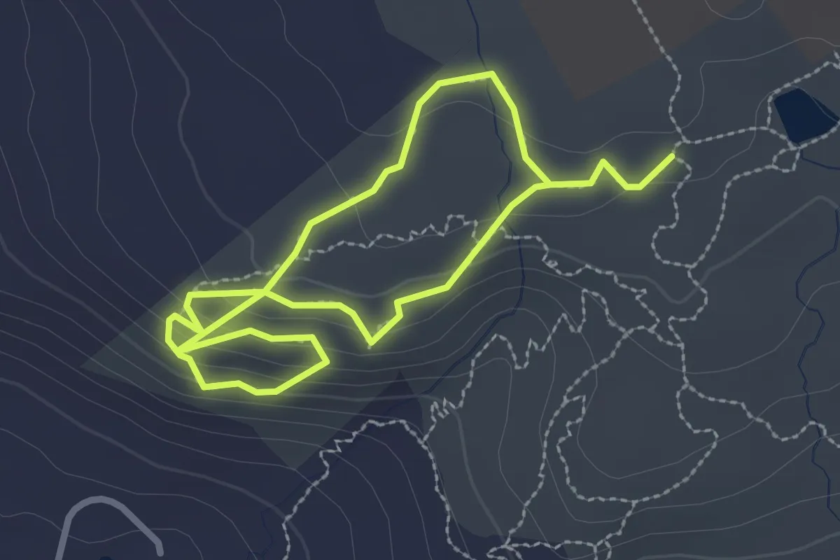
Easy · Trail
White-Yellow Trail
4.9 km · ↑ 137 m · 1 h 28 min · 15 km away
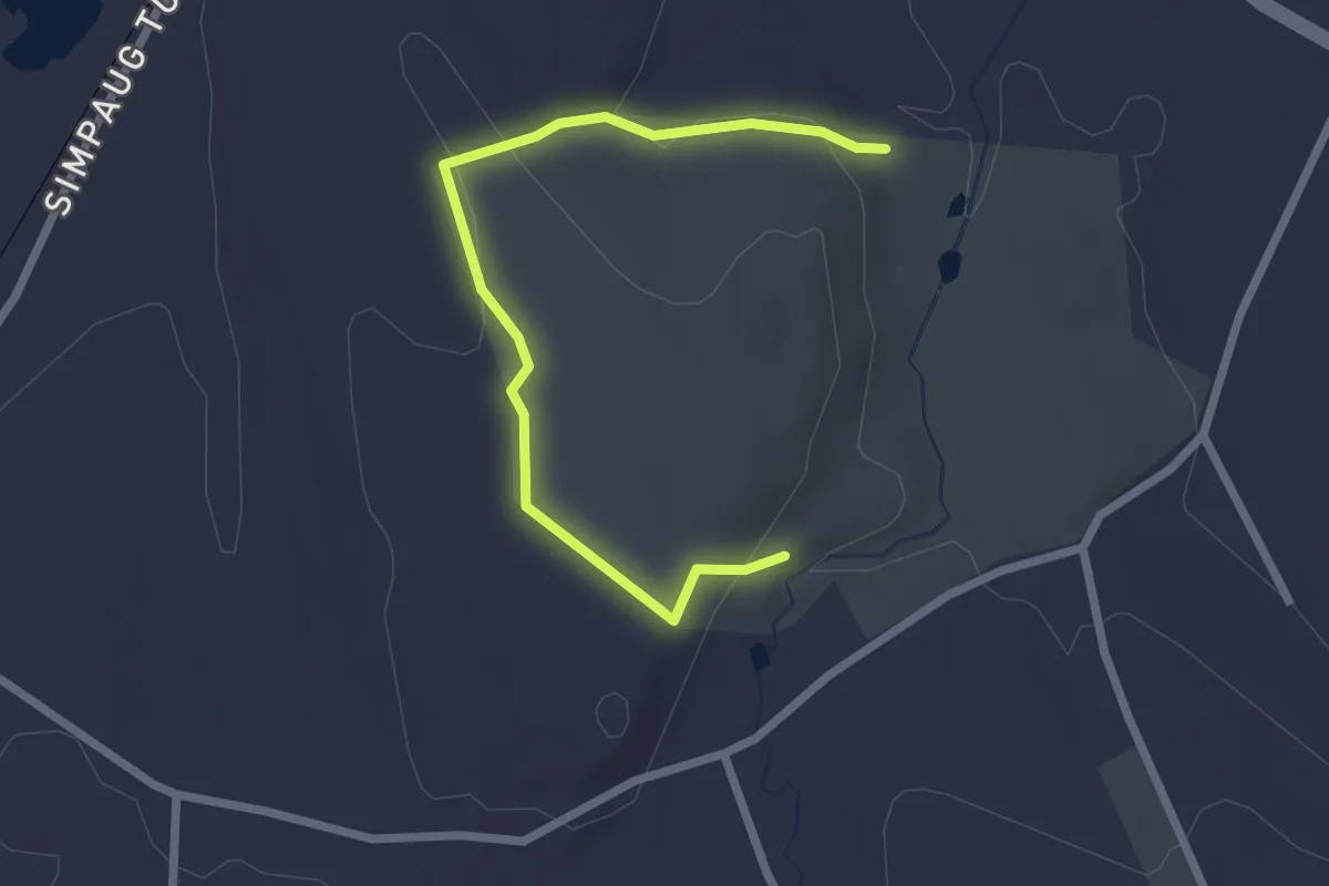
Easy · Trail
Perimeter Trail
2.8 km · ↑ 77 m · 49 min · 15 km away
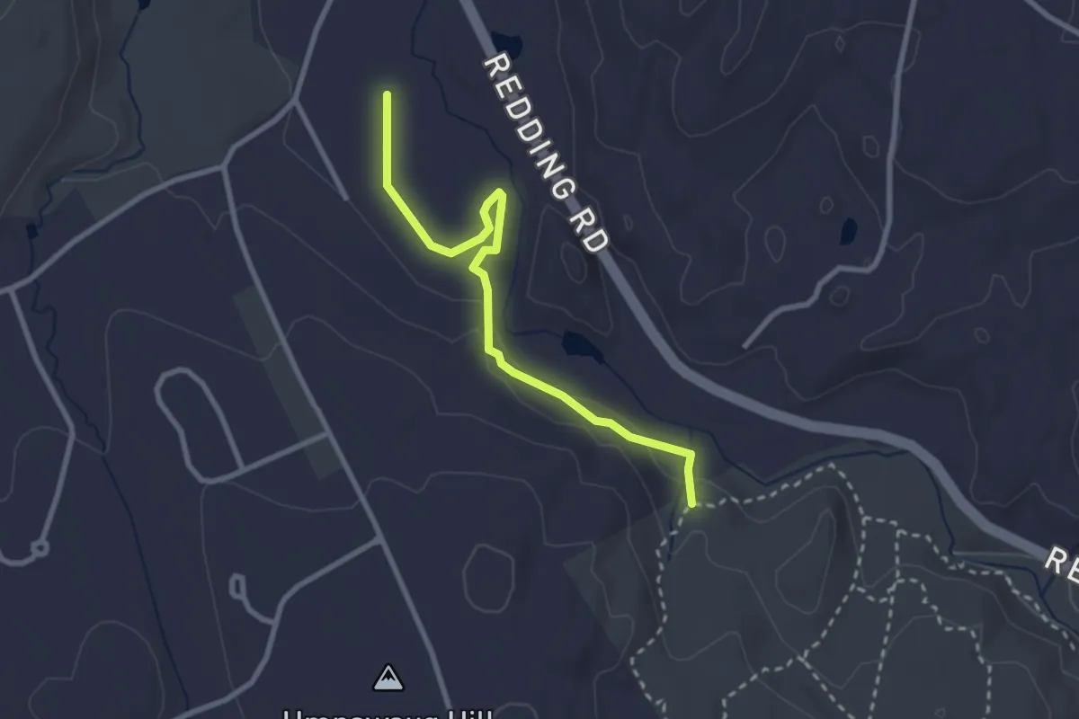
Easy · Trail
Firehouse Trail
3.0 km · ↑ 41 m · 47 min · 15 km away
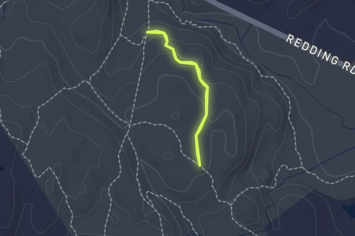
Easy · Trail
Oak Trail
1.1 km · ↑ 24 m · 20 min · 15 km away
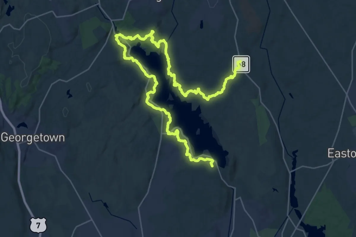
Medium · Trail
Saugatuck Trail
17.6 km · ↑ 436 m · 5 h 22 min · 15 km away
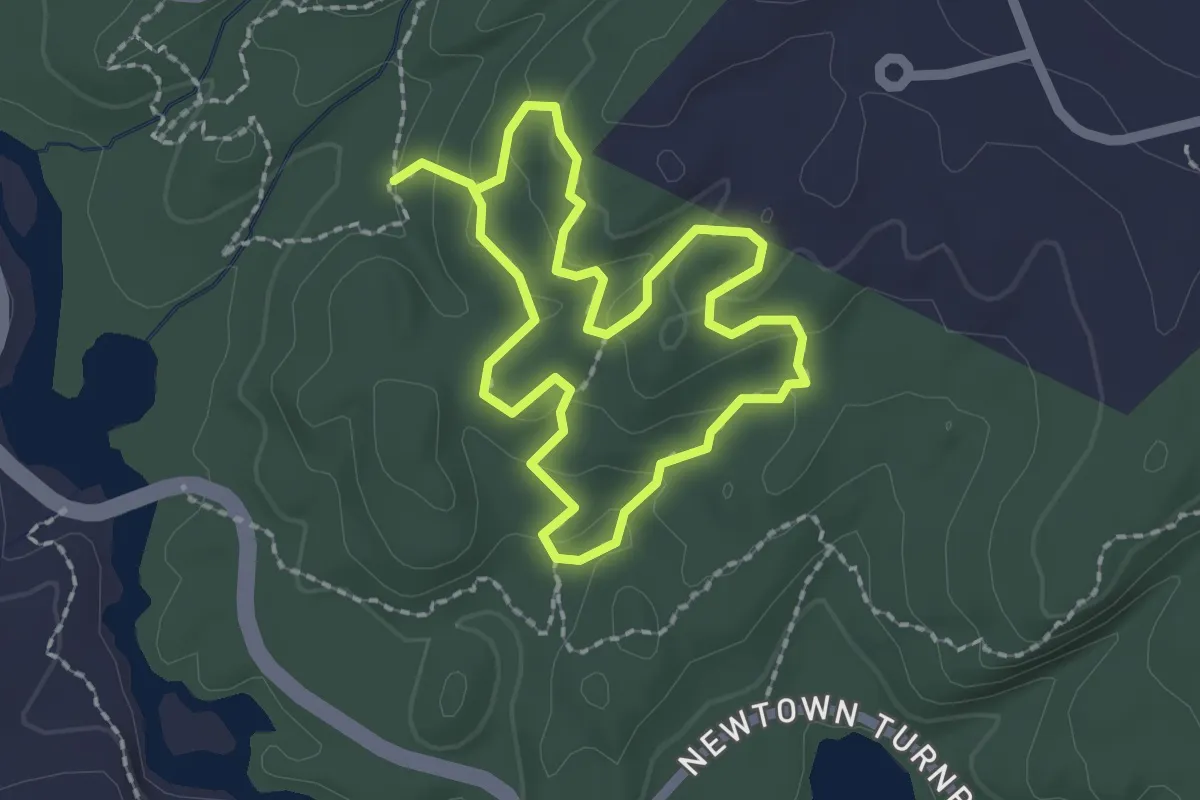
Easy · Trail
Delia Trail
1.9 km · ↑ 55 m · 37 min · 15 km away