Trails near Pepperell
29 hikes starting within 15 km, nearest first.
Nearest first
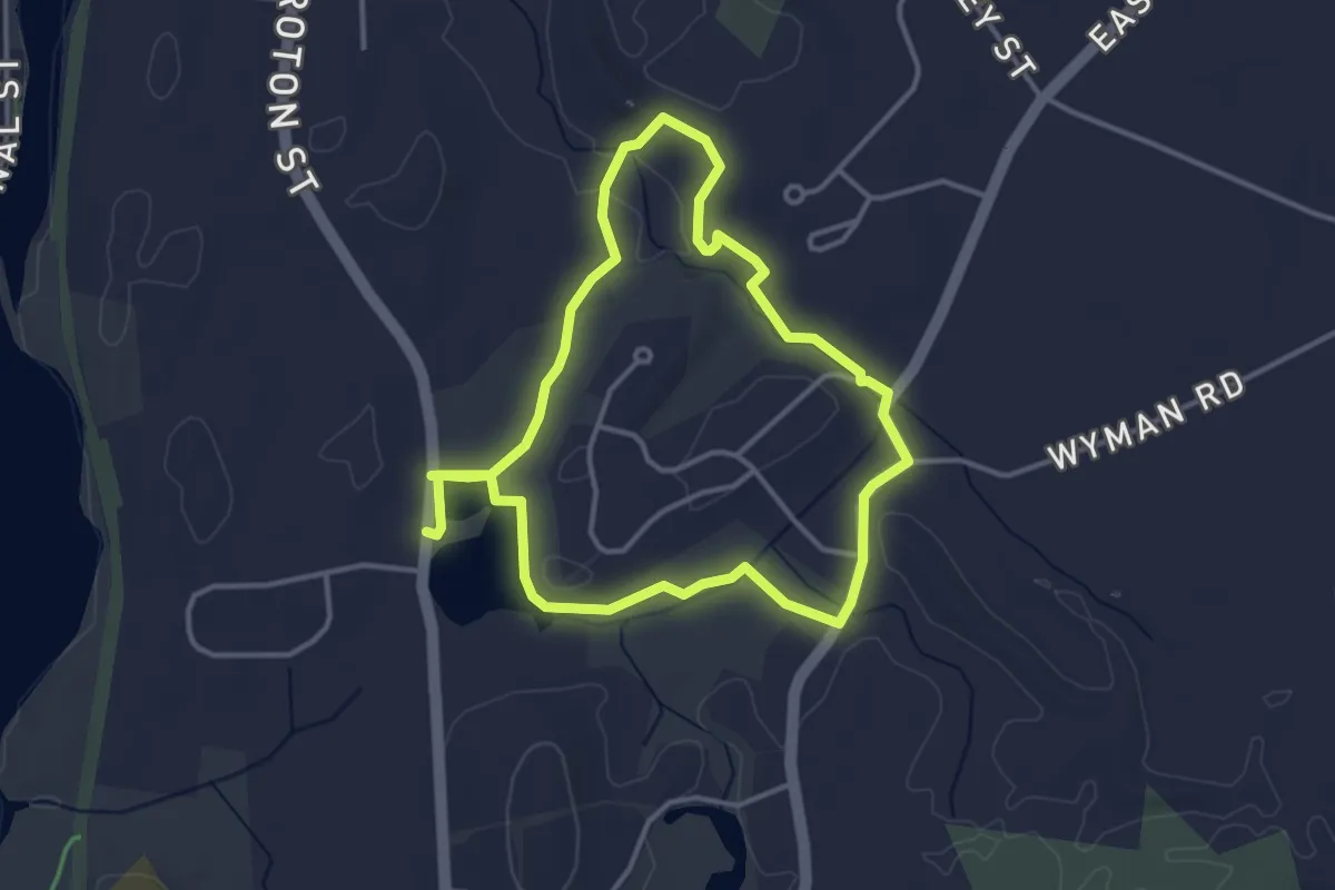
Easy · Trail
Wattles Pond Loop
3.6 km · ↑ 20 m · 56 min · 1 km away
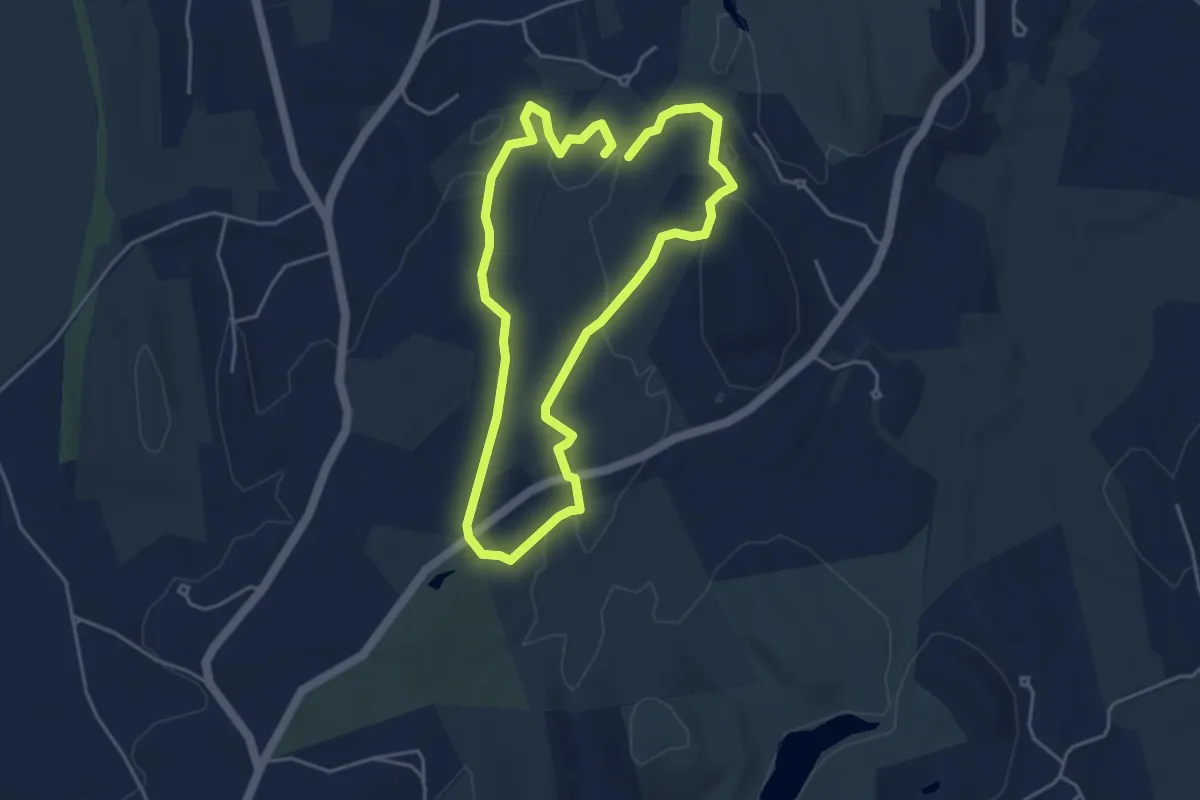
Easy · Trail
Mclains/Fitch Woods
4.3 km · ↑ 45 m · 1 h 10 min · 4 km away
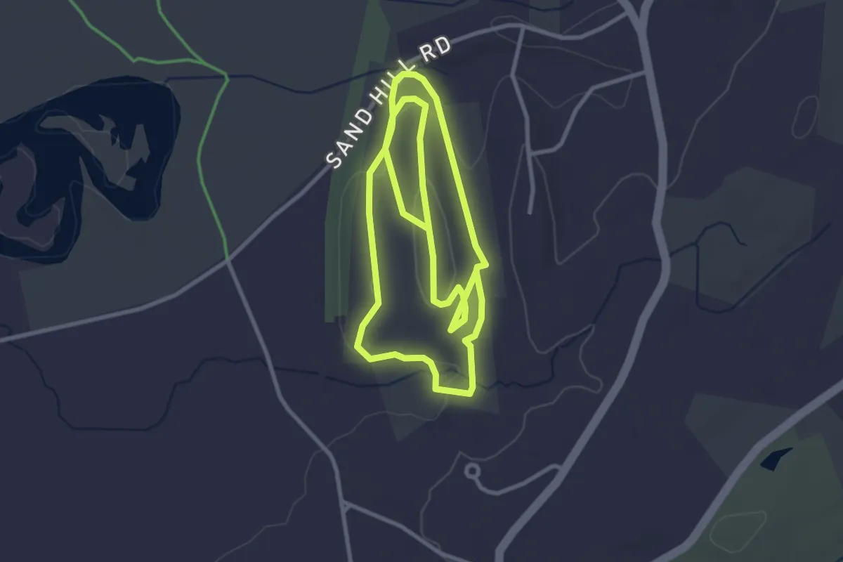
Easy · Summit
Shepley Steeplechase Trail
6.8 km · ↑ 137 m · 1 h 54 min · 4 km away
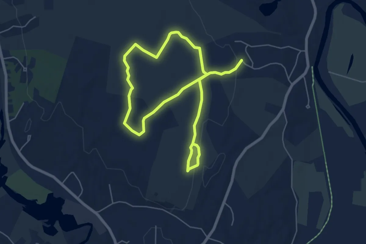
Medium · Trail
Royal Throne Trail
9.2 km · ↑ 81 m · 2 h 20 min · 5 km away
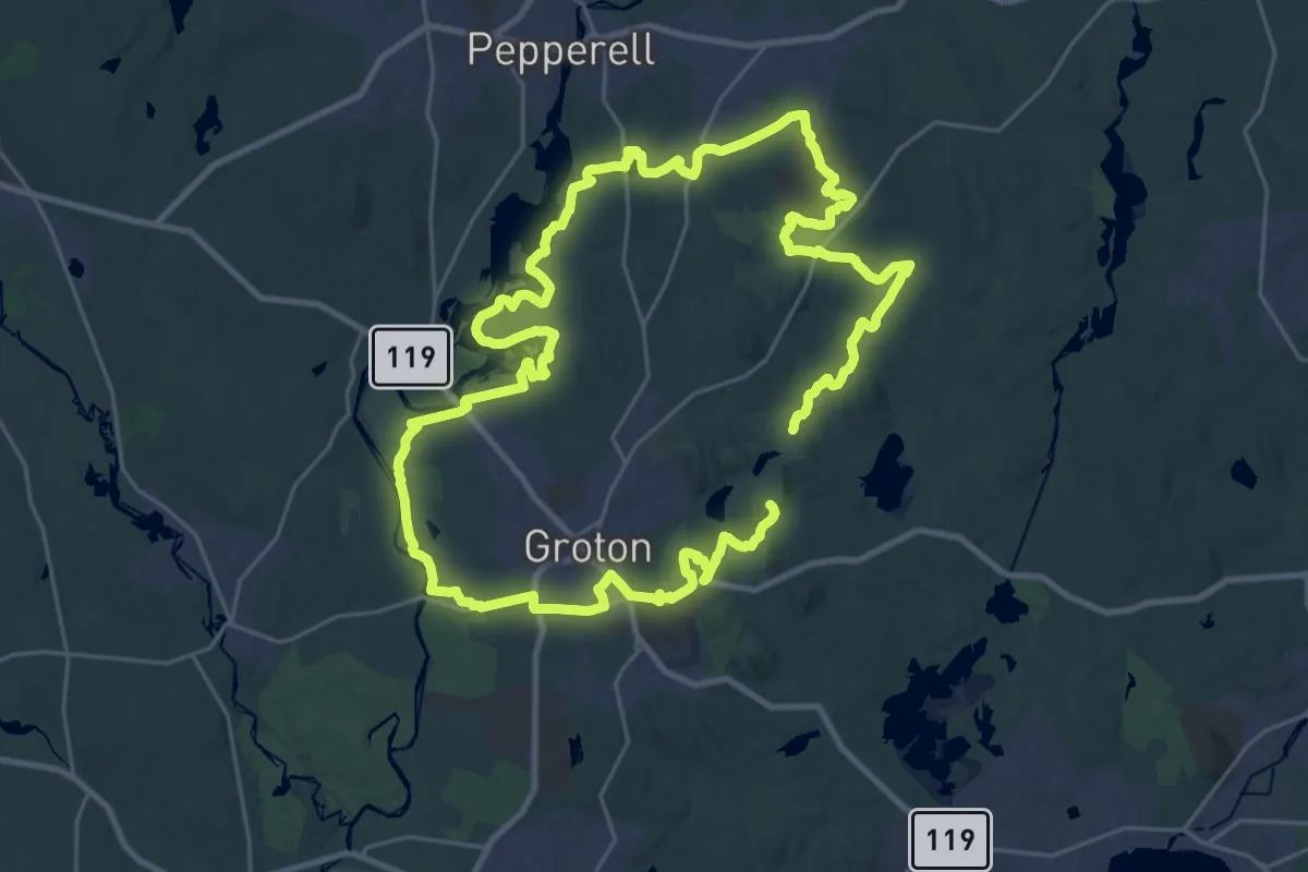
Demanding · Summit
Groton Tour
27.4 km · ↑ 234 m · 7 h 20 min · 5 km away
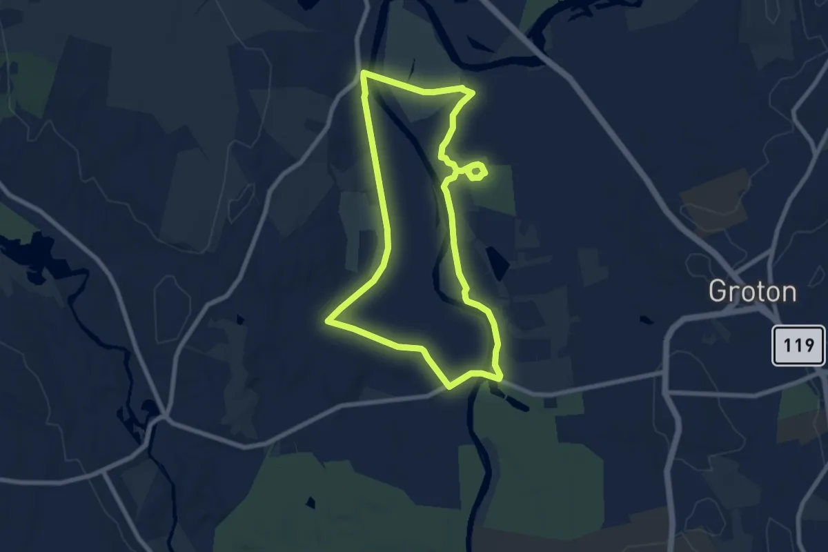
Easy · Trail
Marion Stoddart Nashua River Loop
7.2 km · ↑ 5 m · 1 h 48 min · 5 km away
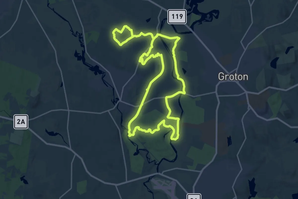
Demanding · Trail
West Groton Tour
18.9 km · ↑ 97 m · 4 h 58 min · 6 km away
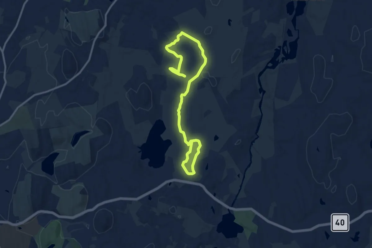
Medium · Trail
Wharton Plantation Trail
12.0 km · ↑ 81 m · 3 h 1 min · 6 km away
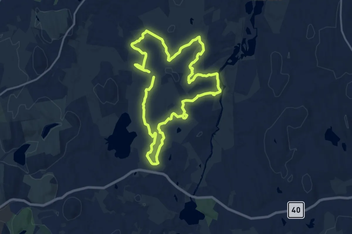
Medium · Trail
East Groton Tour
10.8 km · ↑ 99 m · 2 h 55 min · 6 km away
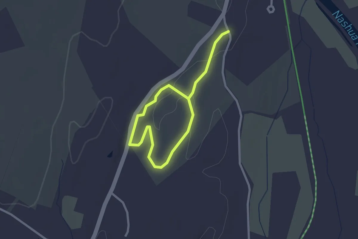
Easy · Trail
Hayes Woods Lollipop
3.3 km · ↑ 38 m · 51 min · 6 km away
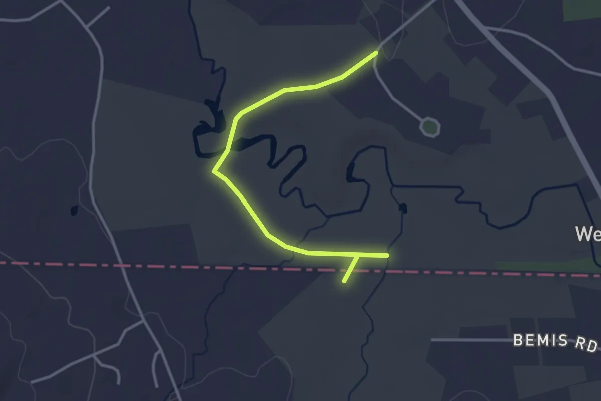
Easy · Trail
Jeff Smith Trail
3.6 km · ↑ 5 m · 51 min · 6 km away
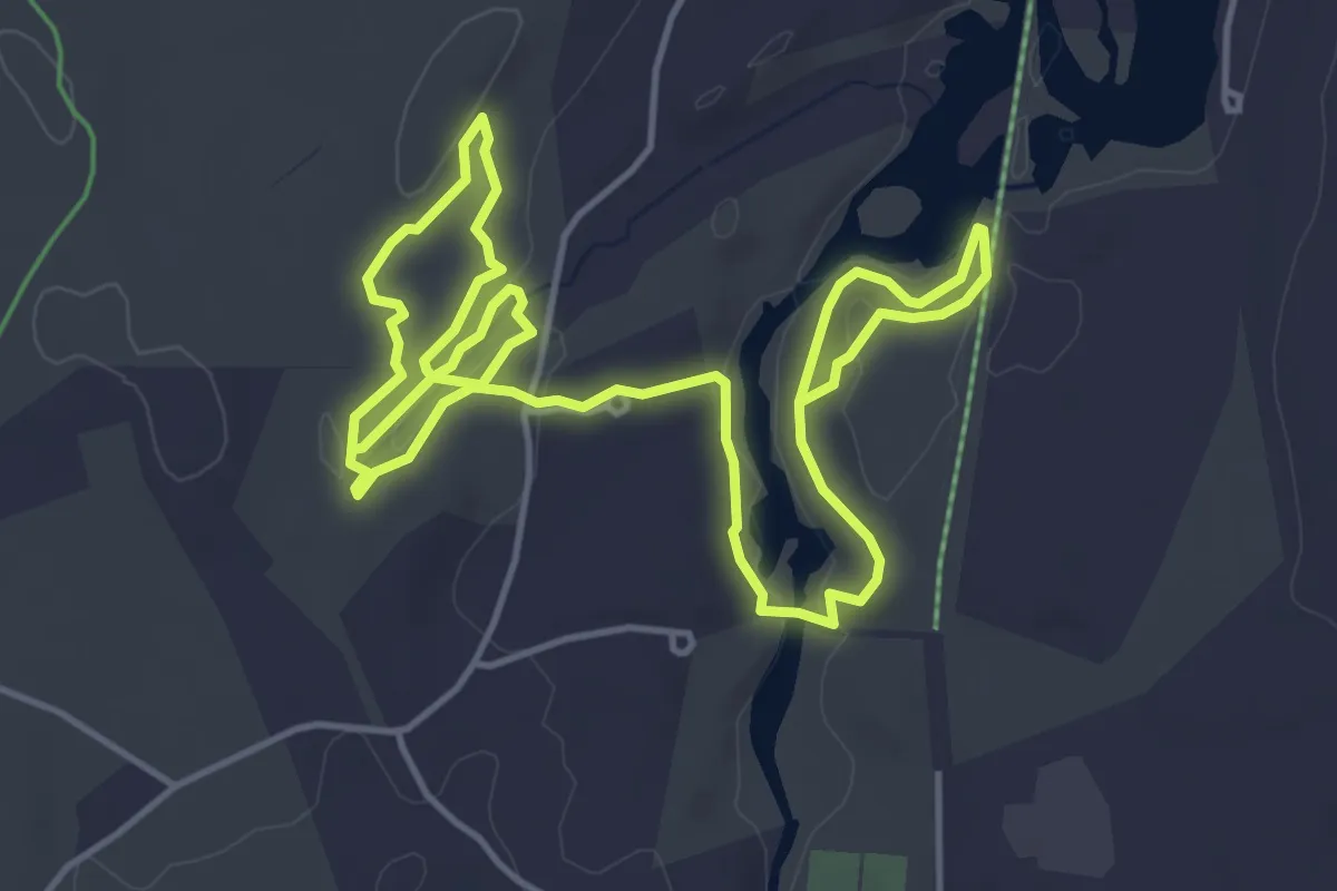
Medium · Trail
Gamlin Crystal Springs
9.0 km · ↑ 111 m · 2 h 22 min · 7 km away
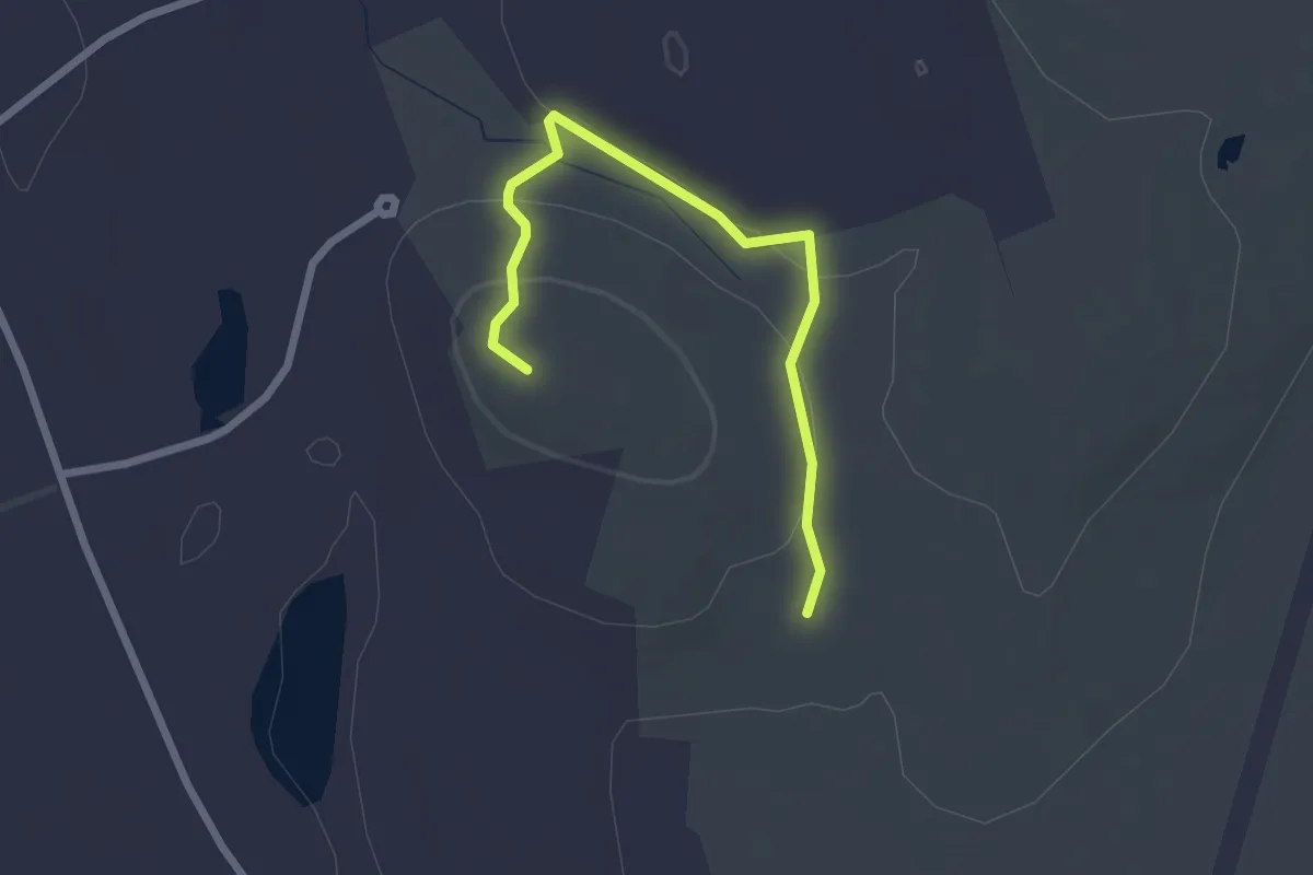
Easy · Summit
100 Acre Pasture
2.6 km · ↑ 65 m · 45 min · 7 km away
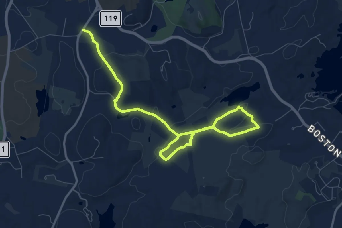
Medium · Trail
Indian Hill
11.3 km · ↑ 165 m · 3 h 1 min · 8 km away
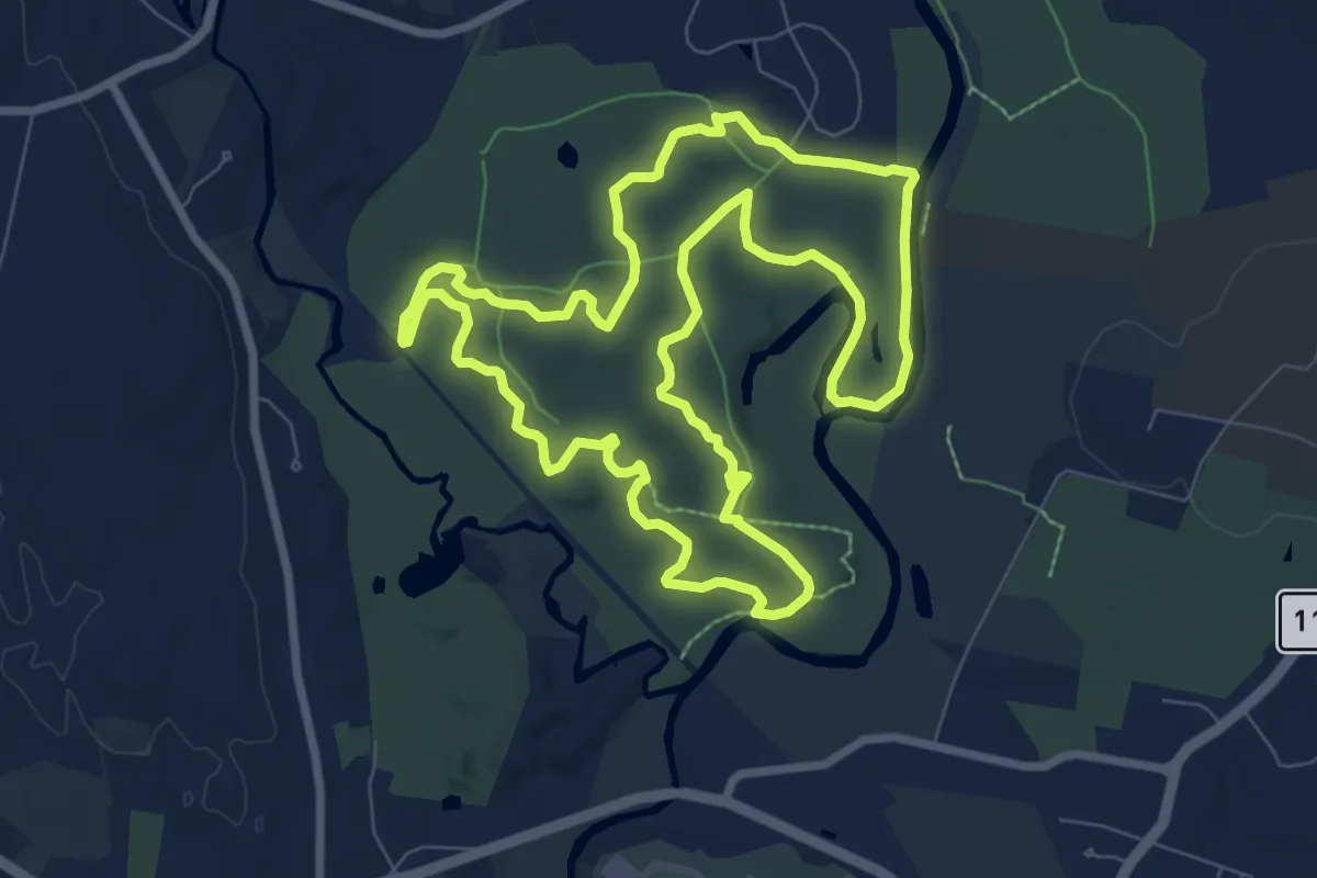
Medium · Trail
Town Forest Loop Trail
9.4 km · ↑ 92 m · 2 h 33 min · 8 km away
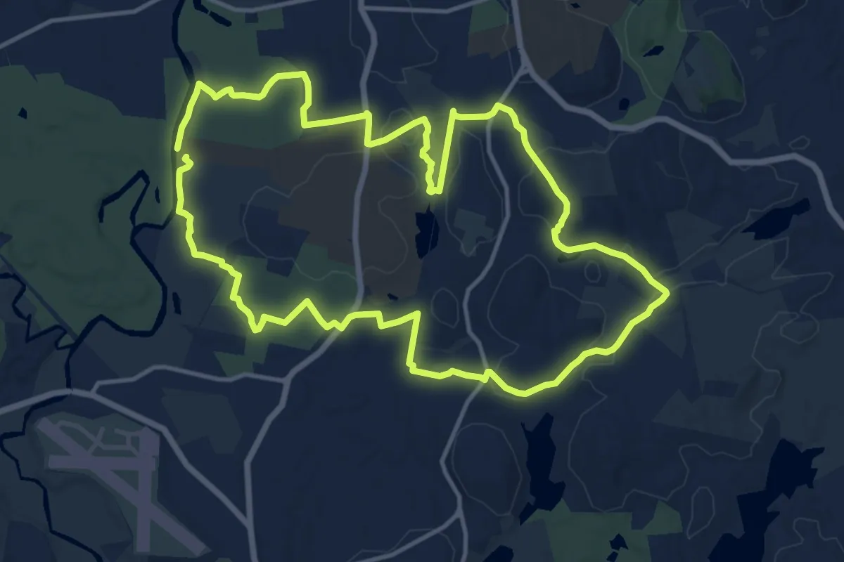
Medium · Trail
South Groton Tour
13.4 km · ↑ 120 m · 3 h 37 min · 8 km away
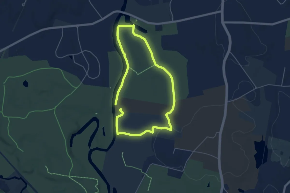
Easy · Trail
Sabine Woods Loop
4.2 km · ↑ 45 m · 1 h 8 min · 8 km away
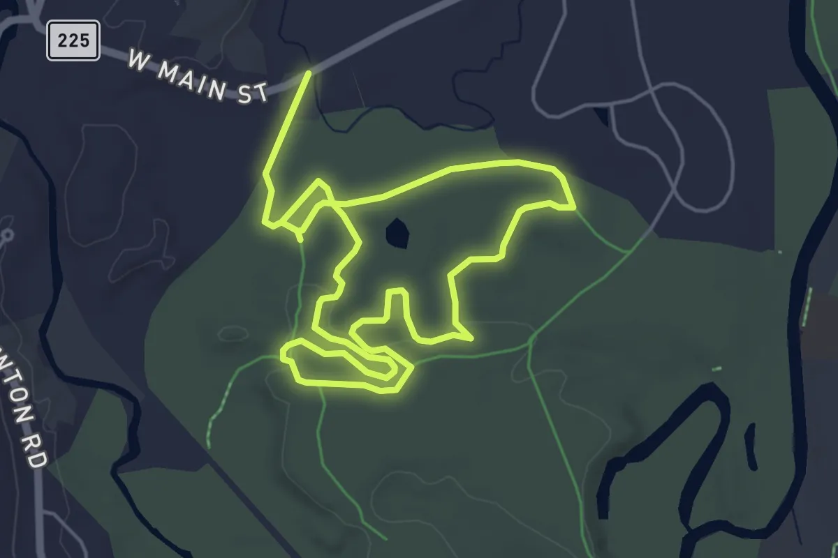
Easy · Trail
Groton Town Forest Race 3.4 Mile Loop
5.2 km · ↑ 56 m · 1 h 24 min · 8 km away
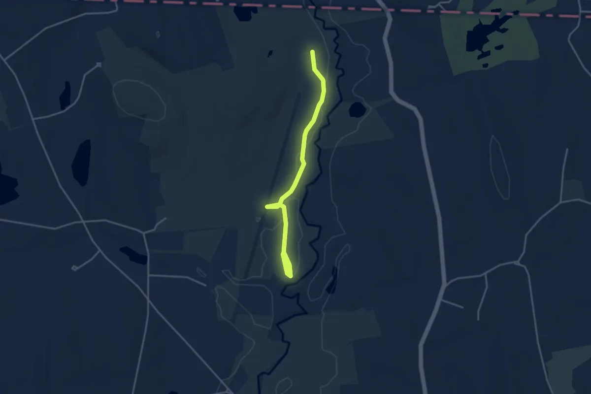
Easy · Trail
Salmon Brook Trail
3.8 km · ↑ 0 m · 54 min · 8 km away
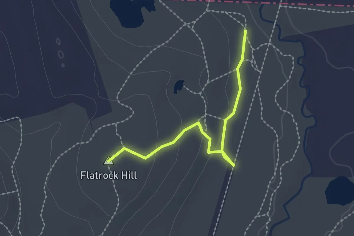
Easy · Summit
Flat Rock Trail
2.2 km · ↑ 54 m · 38 min · 8 km away
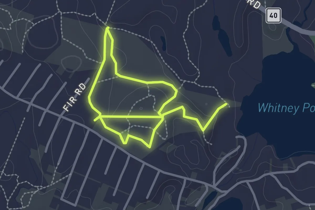
Easy · Trail
Skip Along Skitapet
4.5 km · ↑ 71 m · 1 h 13 min · 8 km away
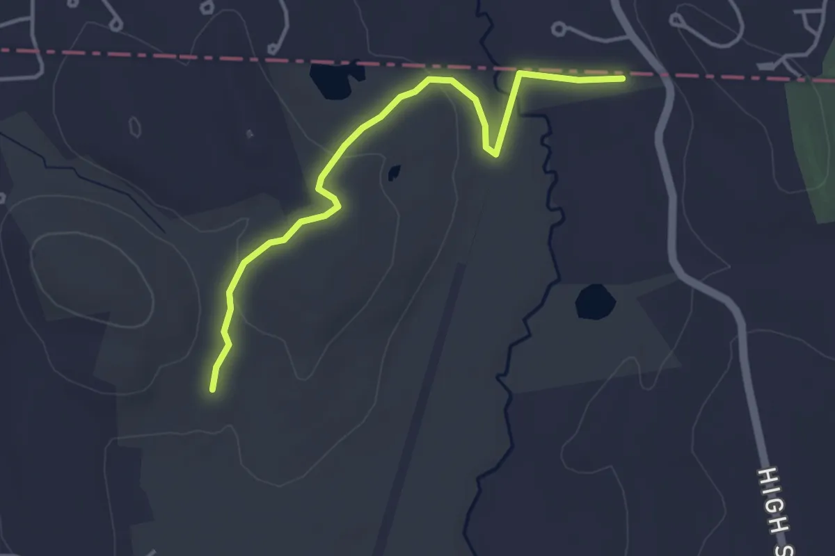
Easy · Trail
Quarry Trail
4.1 km · ↑ 69 m · 1 h 7 min · 9 km away
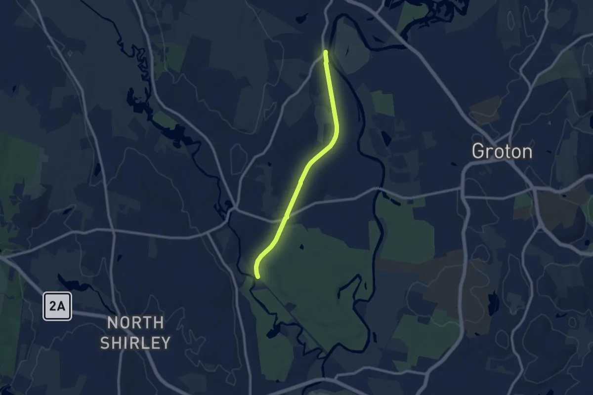
Medium · Trail
Ice Line Trail
8.1 km · ↑ 9 m · 1 h 56 min · 9 km away
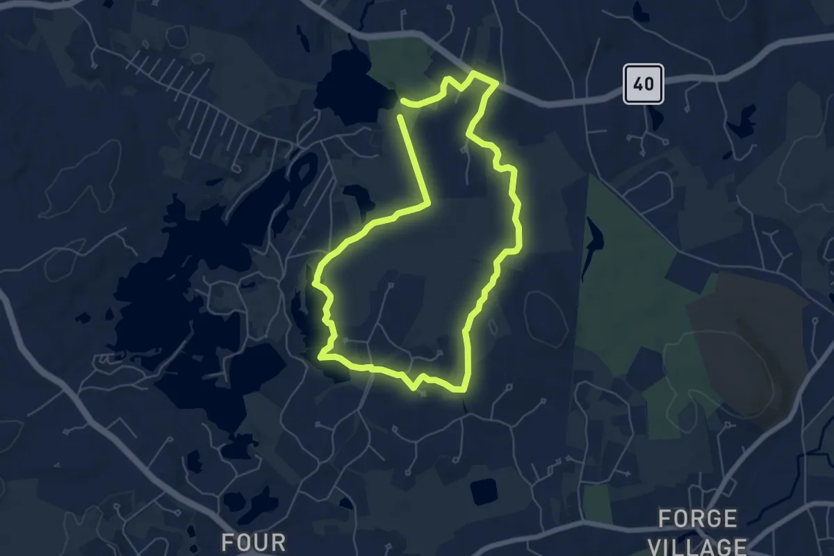
Easy · Trail
Skinner Pond & Forest Trail
6.2 km · ↑ 79 m · 1 h 43 min · 9 km away
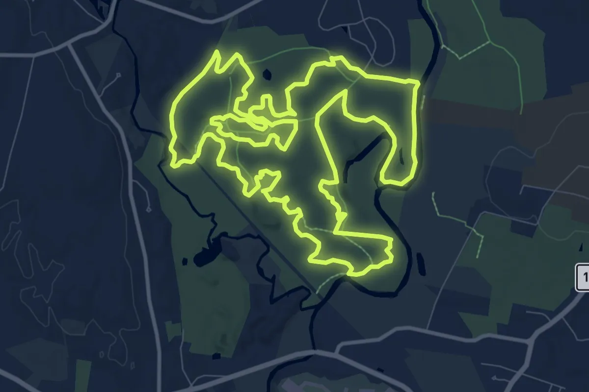
Medium · Trail
Groton Town Forest Race 9.5 mile Loop
13.7 km · ↑ 133 m · 3 h 43 min · 9 km away
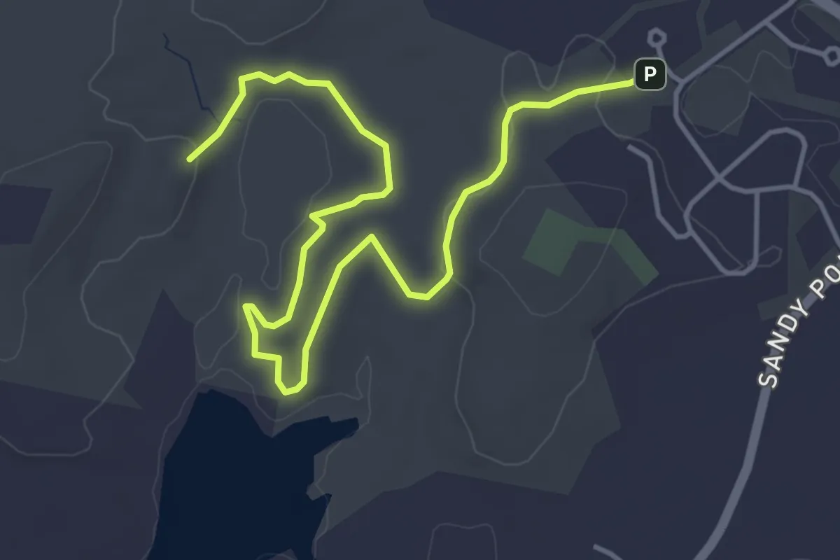
Easy · Summit
Rocky Hill Scenic Walk
5.7 km · ↑ 96 m · 1 h 34 min · 10 km away
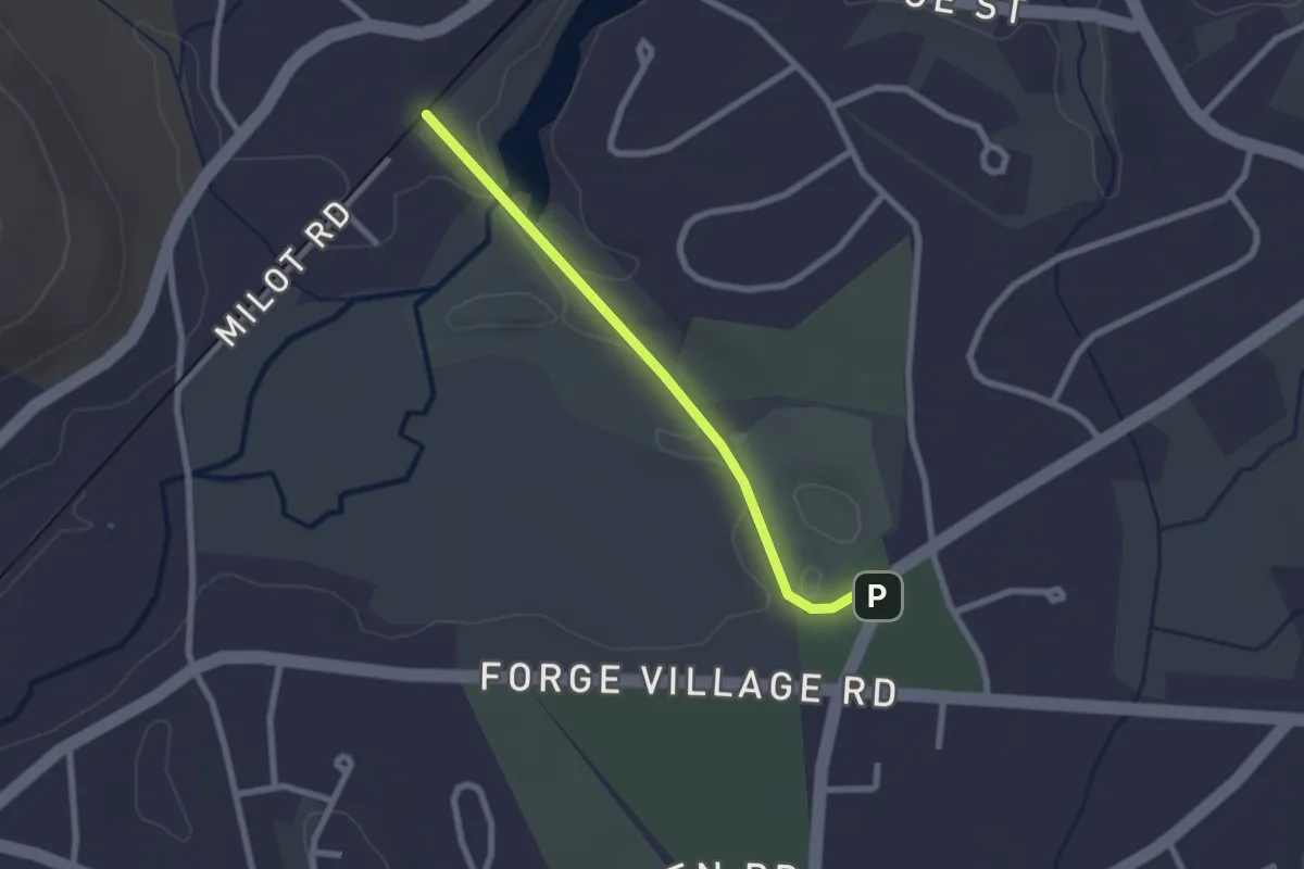
Easy · Trail
Stone Arch Bridge
2.3 km · ↑ 14 m · 35 min · 13 km away
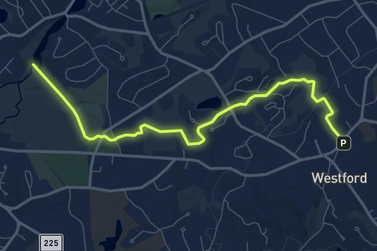
Medium · Trail
Tom Paul Trail
8.6 km · ↑ 101 m · 2 h 15 min · 15 km away
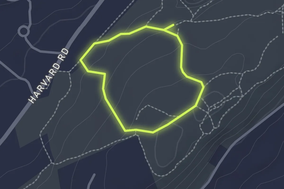
Easy · Trail
Interior Loop Trail
1.6 km · ↑ 44 m · 29 min · 15 km away