Trails near Pompton Lakes
78 hikes starting within 15 km, nearest first.
Nearest first, page 2 of 2
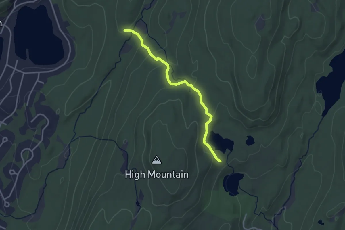
Easy · Trail
Esrkine Connector Trail
3.0 km · ↑ 108 m · 57 min · 11 km away
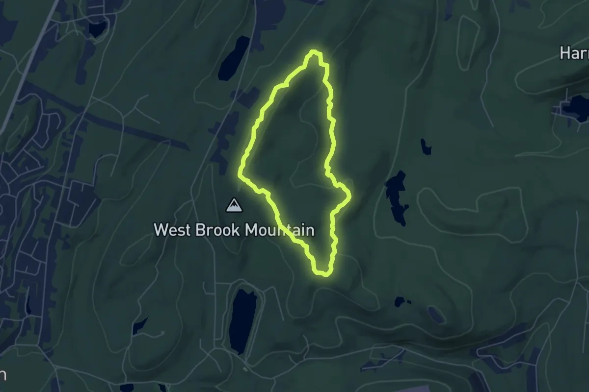
Easy · Trail
Overlook Rock Trail
5.1 km · ↑ 133 m · 1 h 34 min · 11 km away
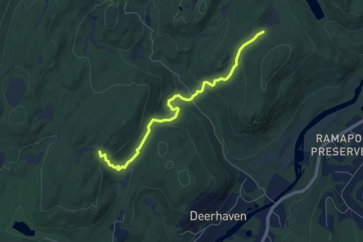
Easy · Trail
Yellow-Silver Trail
6.2 km · ↑ 268 m · 2 h 3 min · 11 km away
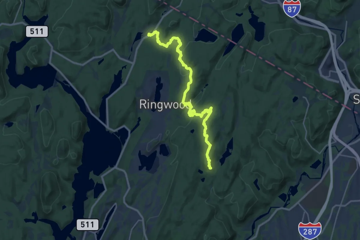
Demanding · Trail
Crossover Trail
22.3 km · ↑ 472 m · 6 h 17 min · 11 km away
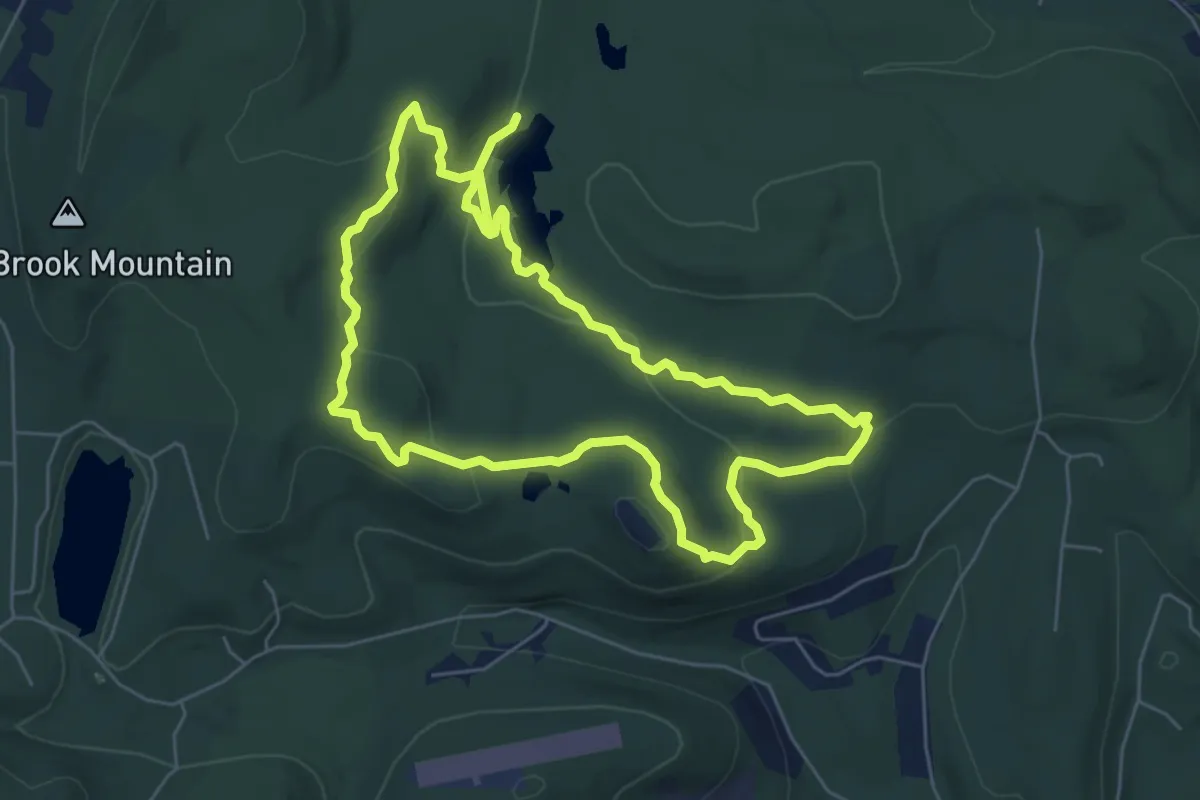
Medium · Trail
Manaticut Trail
12.8 km · ↑ 451 m · 4 h · 11 km away
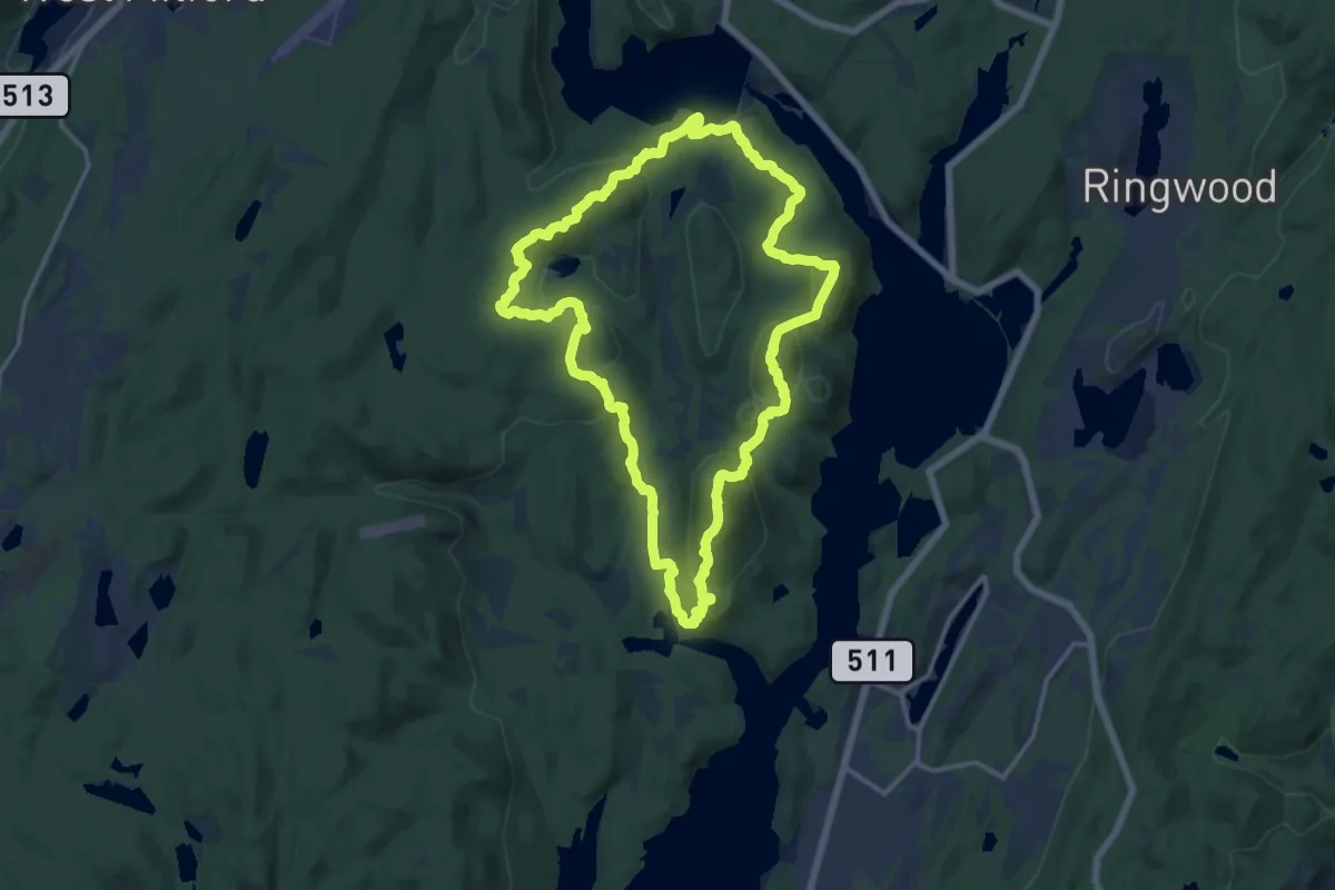
Medium · Summit
Stonetown Circular Trail
16.1 km · ↑ 791 m · 5 h 44 min · 11 km away
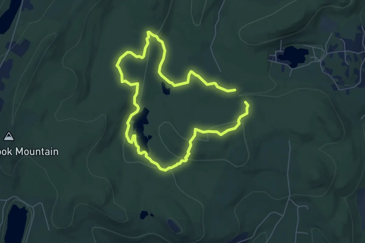
Medium · Trail
Lake Sonoma Trail
11.2 km · ↑ 289 m · 3 h 16 min · 11 km away
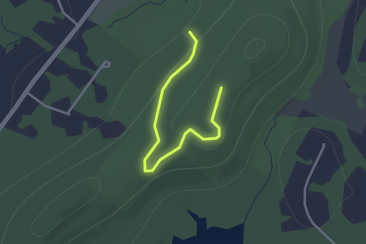
Easy · Trail
Pink Trail
2.5 km · ↑ 68 m · 45 min · 11 km away
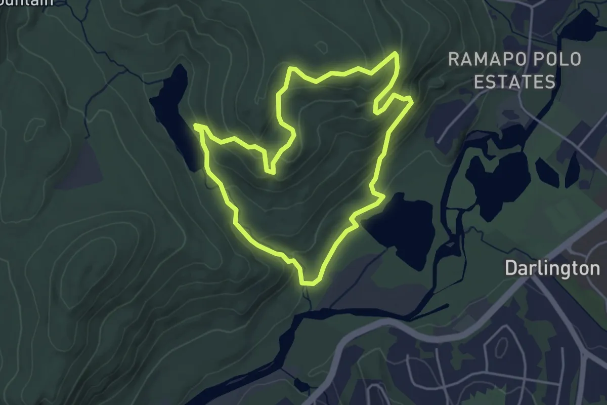
Easy · Trail
Vista Loop
4.2 km · ↑ 190 m · 1 h 27 min · 11 km away
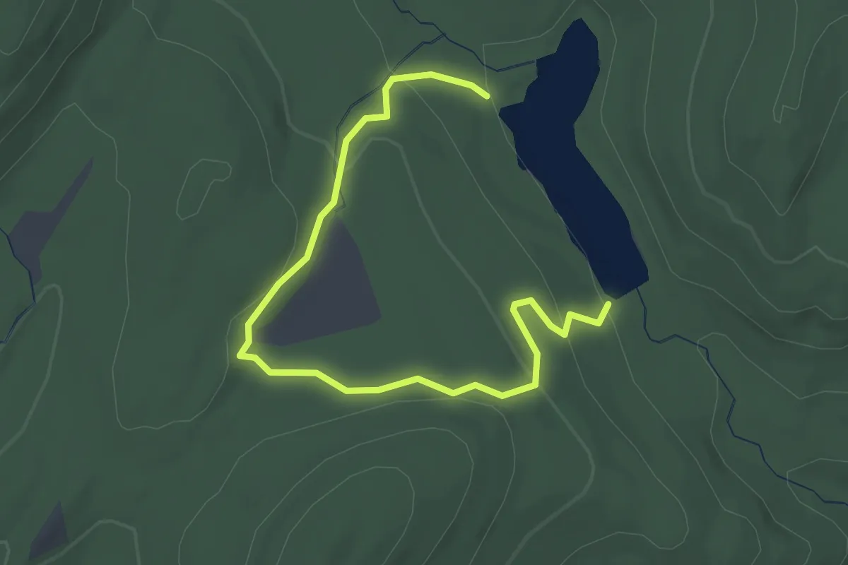
Easy · Trail
Marsh Loop
3.4 km · ↑ 103 m · 1 h 2 min · 11 km away
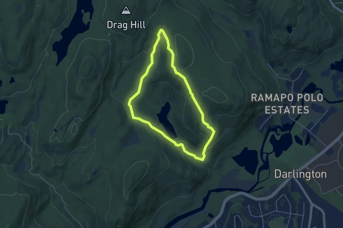
Easy · Summit
Ridge Loop
4.3 km · ↑ 157 m · 1 h 25 min · 11 km away
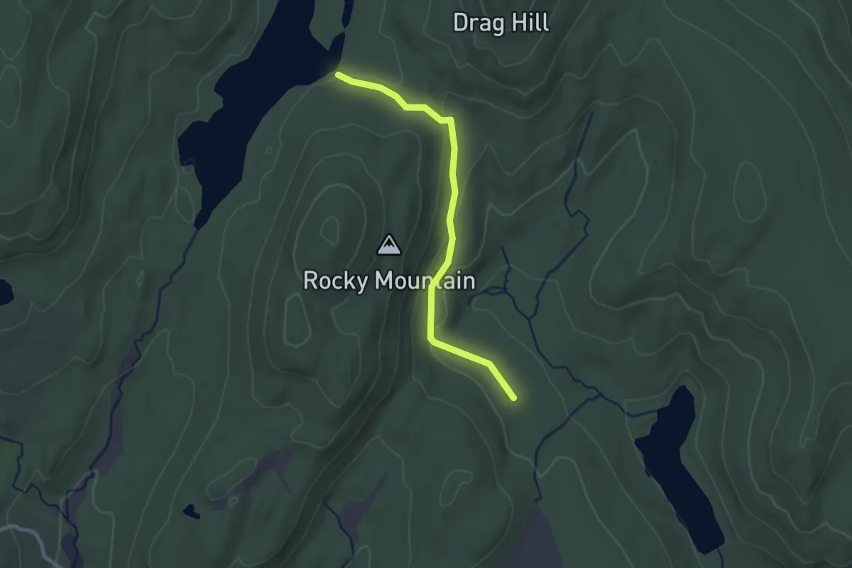
Easy · Trail
Rocky Mountain Connector
2.6 km · ↑ 60 m · 45 min · 11 km away
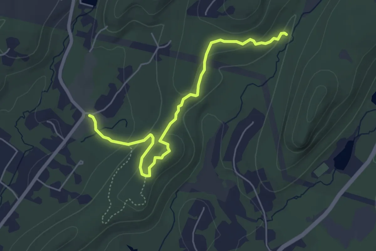
Easy · Trail
Black Dot on Pink Trail
5.6 km · ↑ 158 m · 1 h 40 min · 11 km away
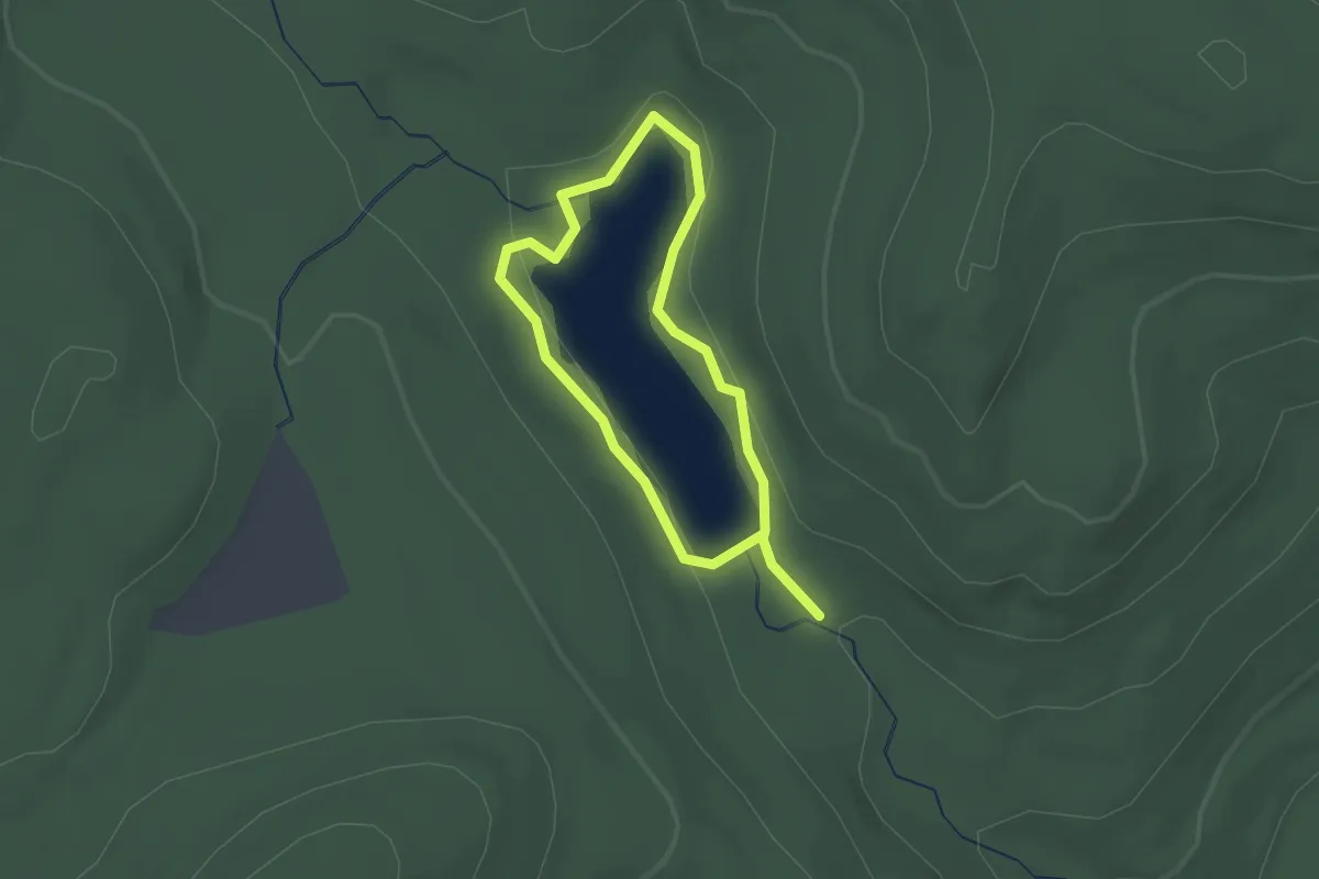
Easy · Trail
Reservoir Loop
1.5 km · ↑ 12 m · 24 min · 11 km away
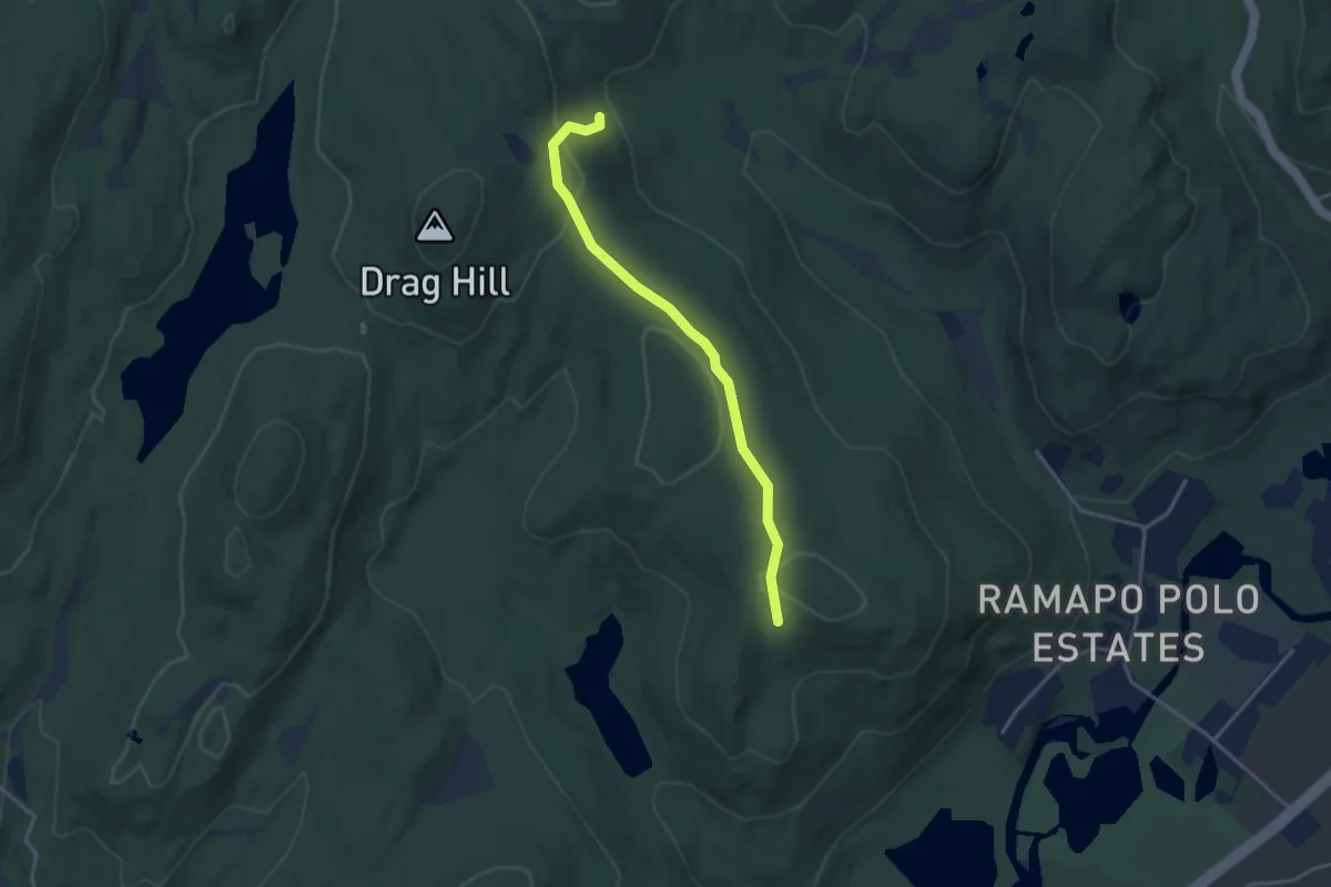
Easy · Trail
White Trail
3.7 km · ↑ 79 m · 1 h 3 min · 12 km away
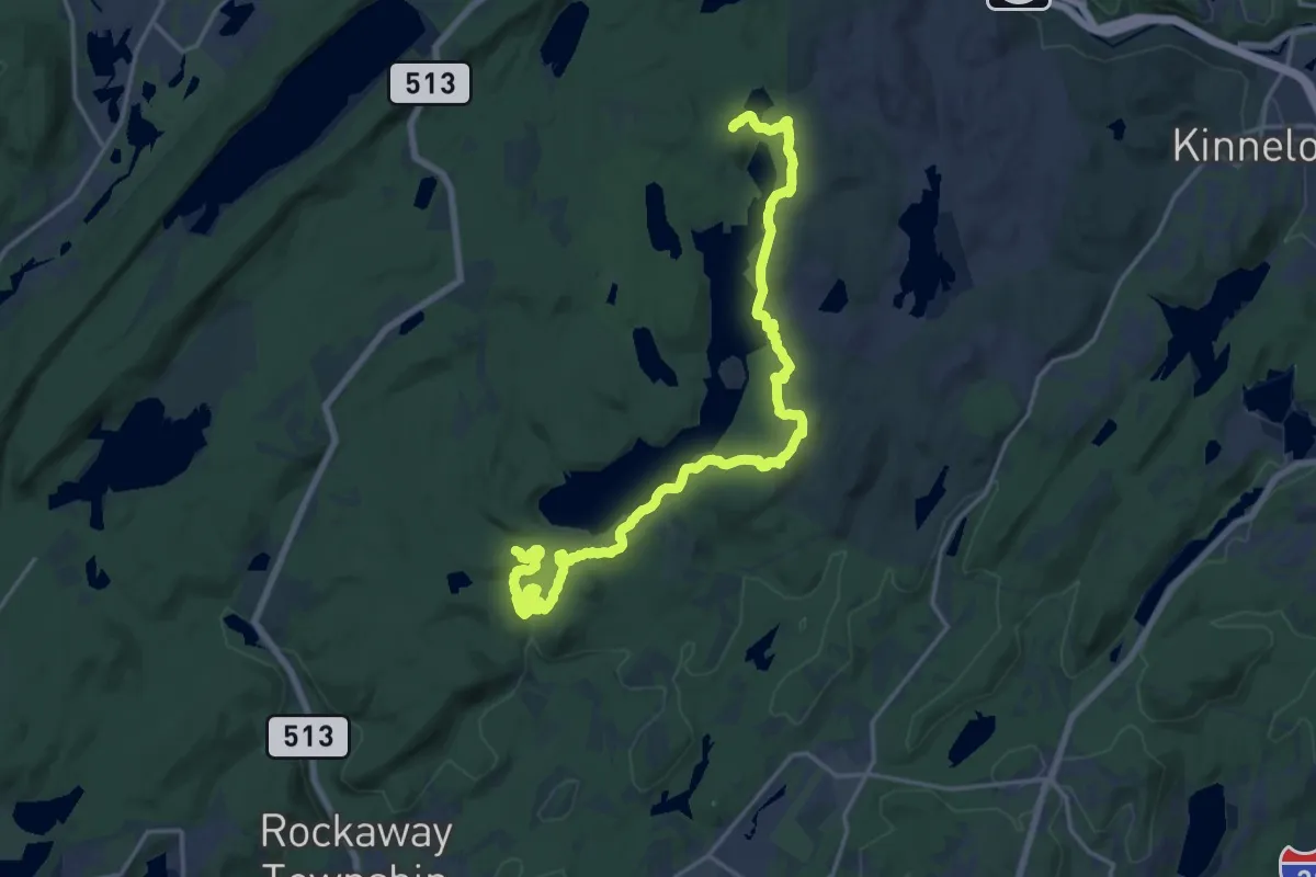
Demanding · Trail
Splitrock Trail
23.8 km · ↑ 778 m · 7 h 19 min · 12 km away
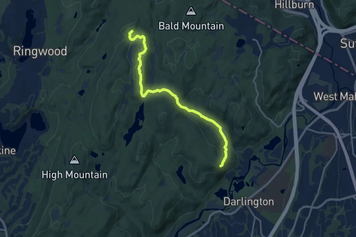
Medium · Summit
Halifax Trail
11.6 km · ↑ 362 m · 3 h 32 min · 12 km away
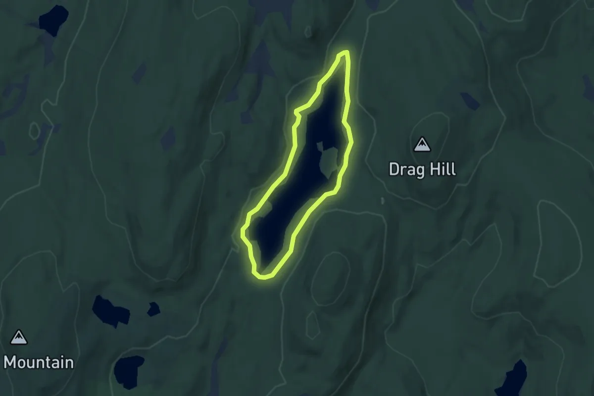
Easy · Trail
Shore Trail
2.9 km · ↑ 9 m · 45 min · 13 km away
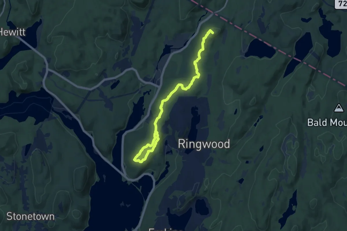
Medium · Summit
Cooper Union Trail
13.3 km · ↑ 360 m · 3 h 55 min · 13 km away
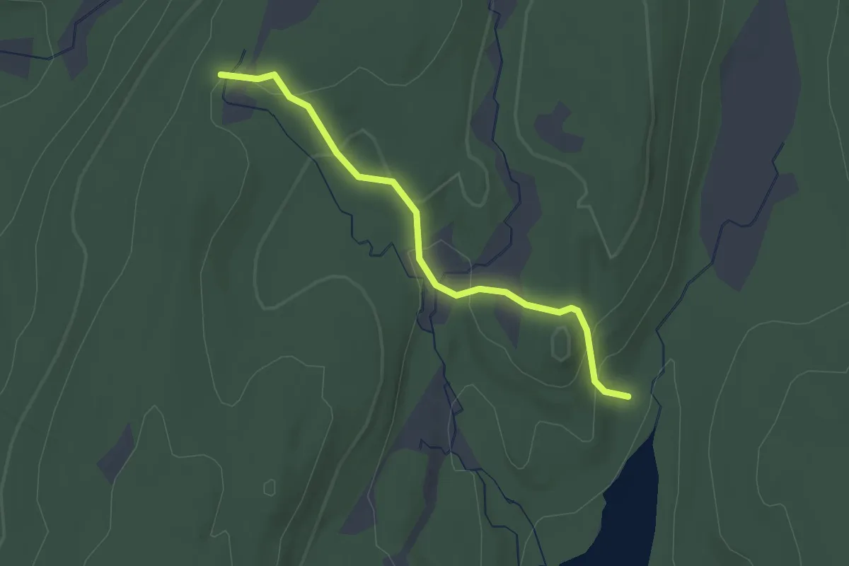
Easy · Trail
Bear Swamp Trail
2.5 km · ↑ 119 m · 50 min · 13 km away
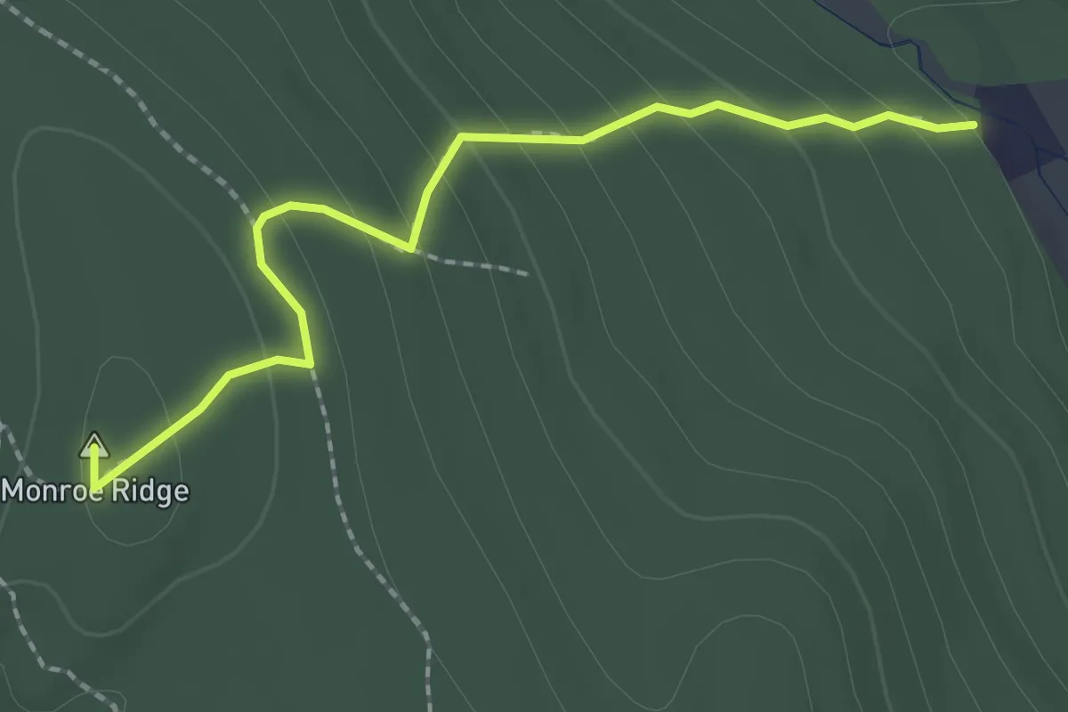
Easy · Summit
Havemeyer Trail
2.4 km · ↑ 147 m · 53 min · 13 km away
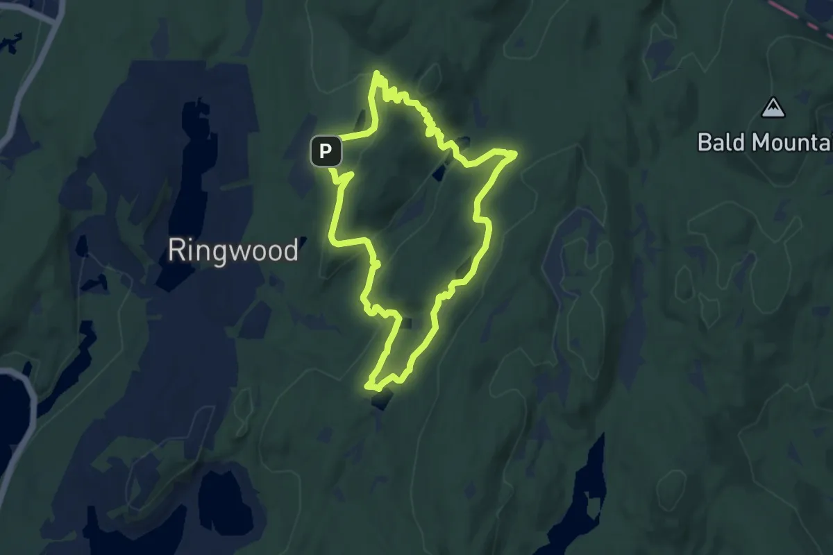
Easy · Trail
Five Ponds Loop
7.8 km · ↑ 212 m · 2 h 24 min · 13 km away
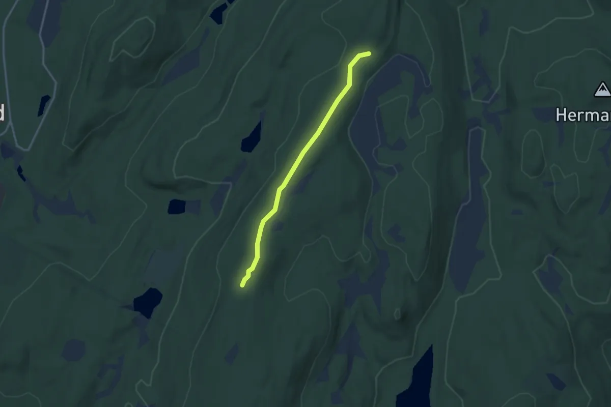
Easy · Trail
Pierson Ridge
3.0 km · ↑ 45 m · 49 min · 14 km away
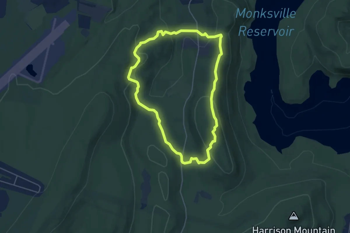
Easy · Summit
Burnt Meadow Trail
4.5 km · ↑ 171 m · 1 h 30 min · 14 km away
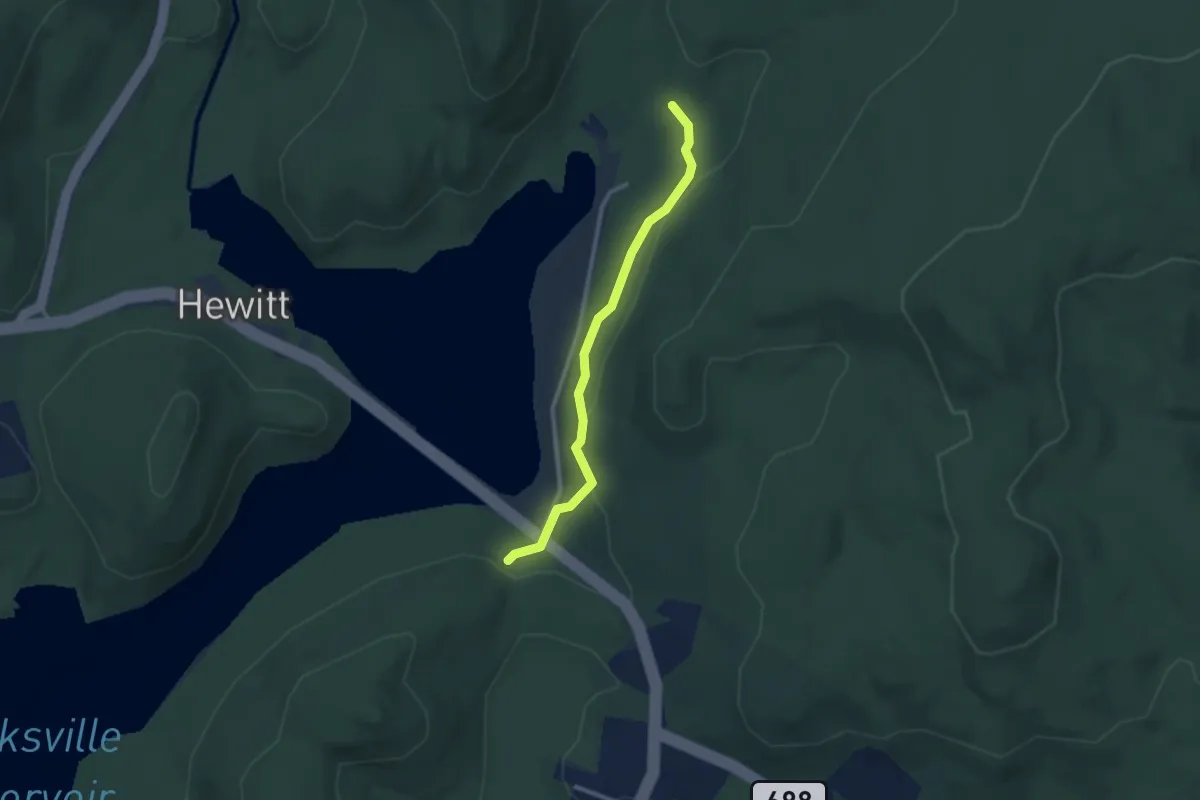
Easy · Trail
Monks Connector Trail
2.7 km · ↑ 77 m · 48 min · 15 km away
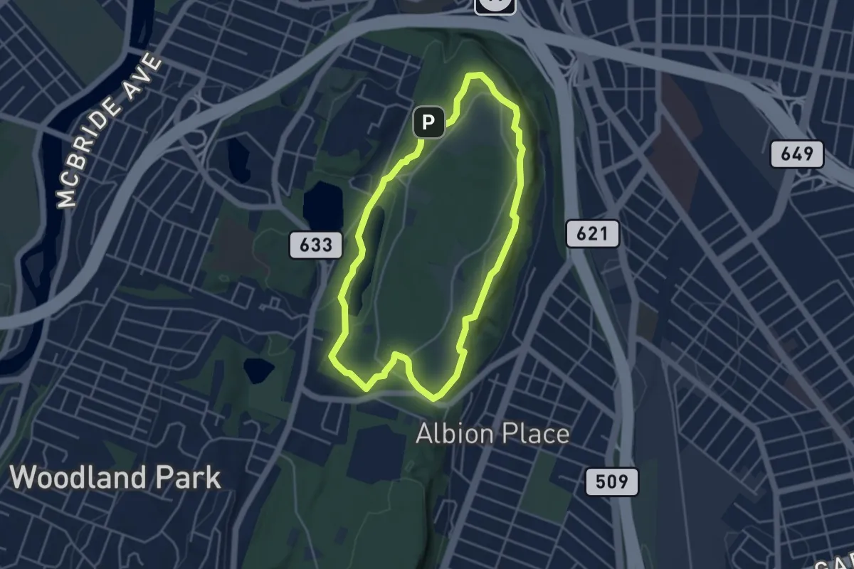
Easy · Trail
Yellow Trail
4.3 km · ↑ 93 m · 1 h 16 min · 15 km away
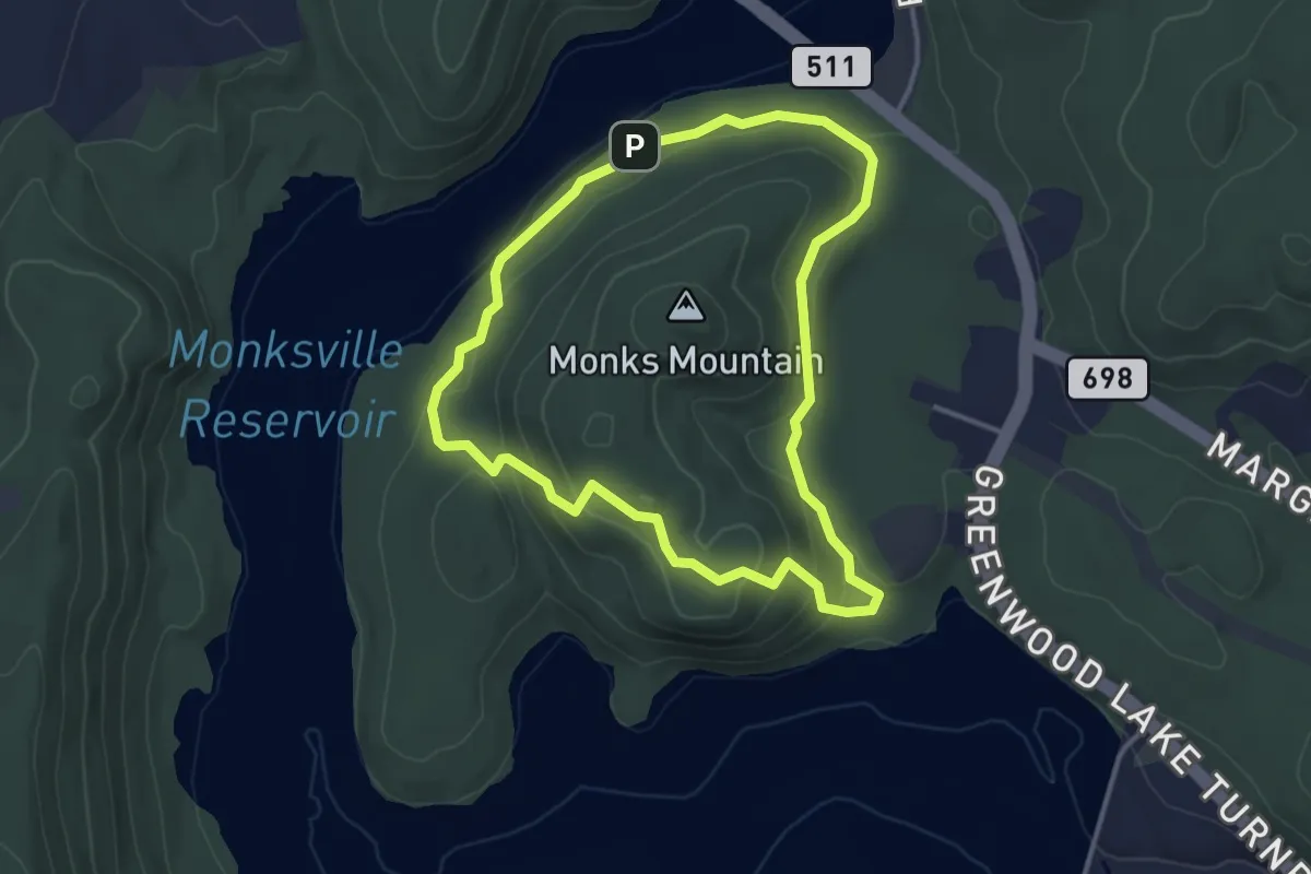
Easy · Trail
Monks Trail
3.7 km · ↑ 124 m · 1 h 11 min · 15 km away
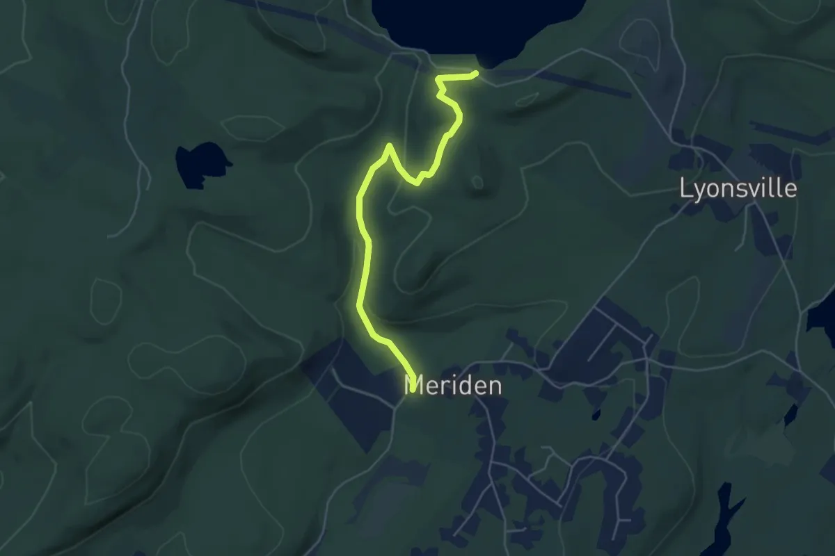
Easy · Trail
Righter Mine Trail
5.3 km · ↑ 157 m · 1 h 35 min · 15 km away
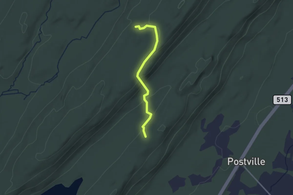
Easy · Trail
Newark Connector Trail
2.5 km · ↑ 88 m · 46 min · 15 km away
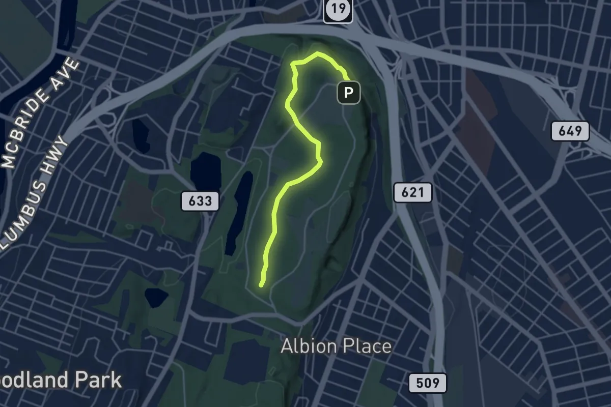
Easy · Trail
White Trail
4.3 km · ↑ 76 m · 1 h 10 min · 15 km away