Trails near Potomac
20 hikes starting within 15 km, nearest first.
Nearest first
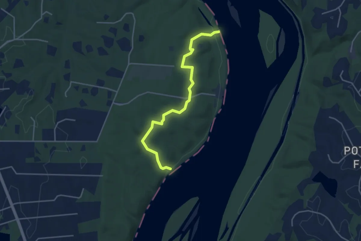
Easy · Trail
Follow the Hollows Trail
4.0 km · ↑ 99 m · 1 h 10 min · 3 km away
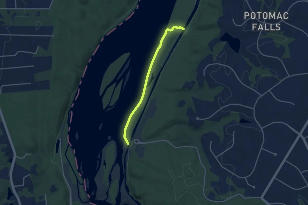
Easy · Trail
River Trail
3.2 km · ↑ 0 m · 45 min · 4 km away
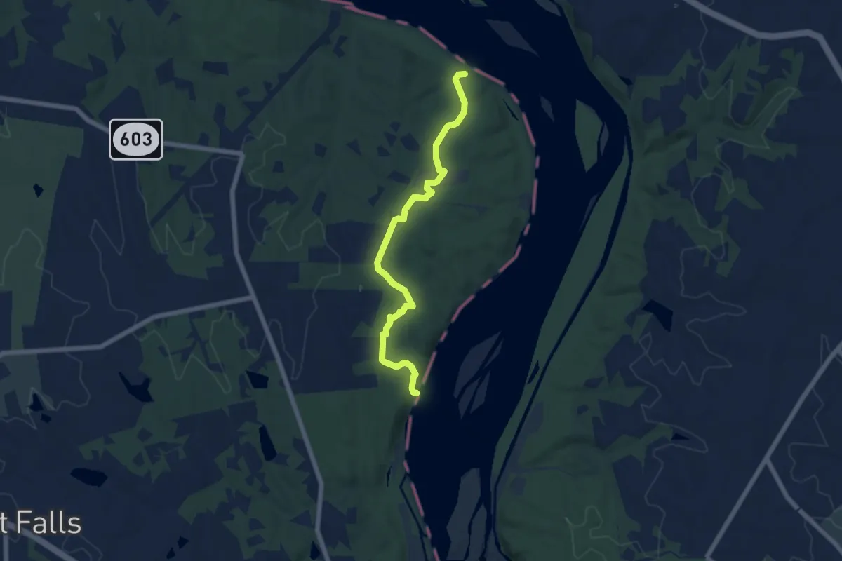
Easy · Trail
Bootlegger Trail
6.5 km · ↑ 127 m · 1 h 48 min · 4 km away
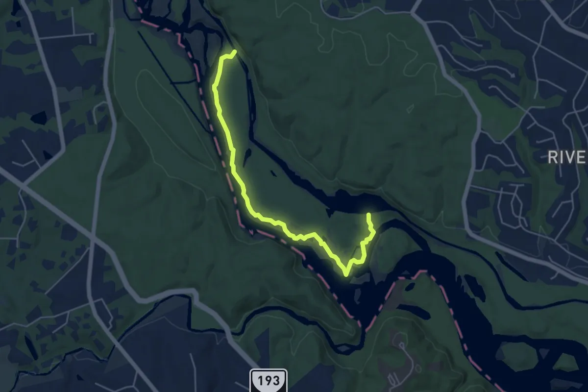
Demanding · Trail
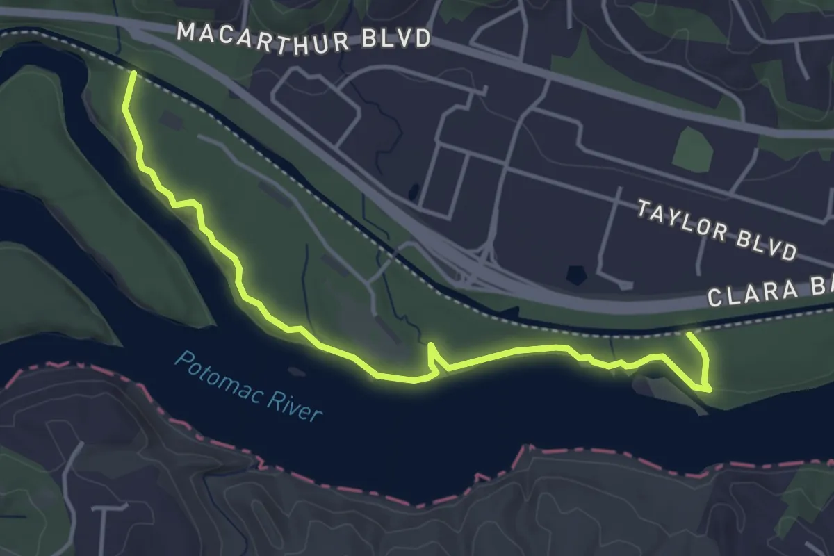
Billy Goat Trail Section A
5.5 km · ↑ 46 m · 1 h 24 min · 4 km away
Easy · Trail
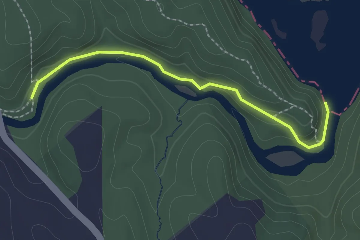
Billy Goat Trail Section C
5.0 km · ↑ 66 m · 1 h 19 min · 6 km away
Easy · Trail
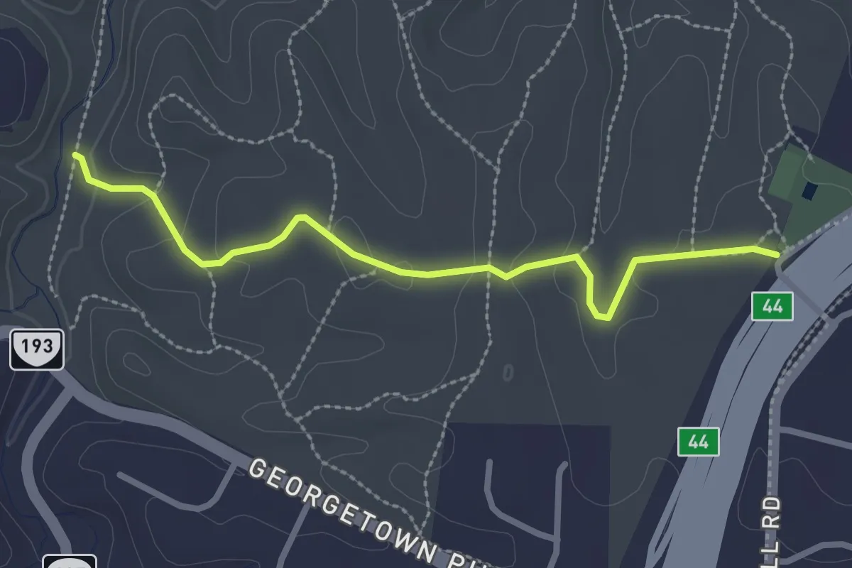
Gerry Connolly Cross County Trail
2.2 km · ↑ 41 m · 36 min · 6 km away
Demanding · Trail
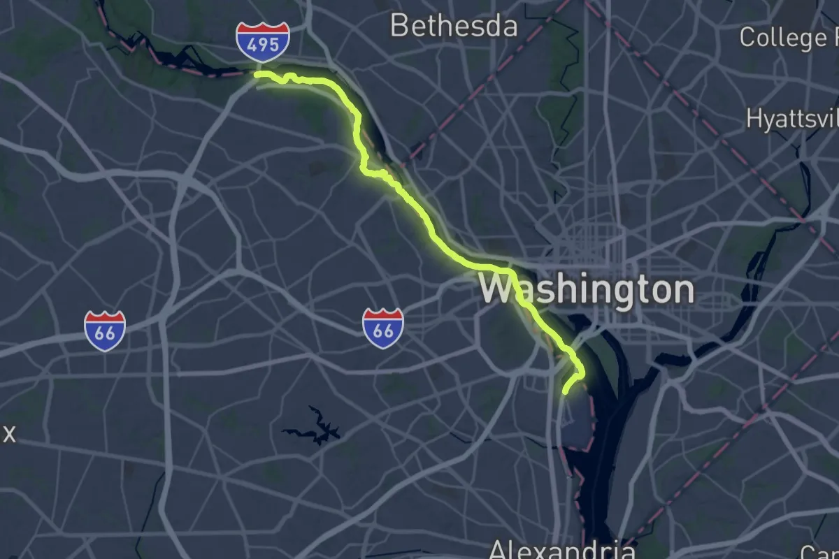
Potomac Heritage National Scenic Trail (right bank)
20.9 km · ↑ 401 m · 6 h 6 min · 6 km away
Easy · Trail
Oak Trail
2.9 km · ↑ 61 m · 49 min · 6 km away
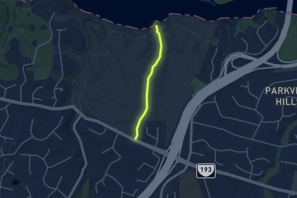
Easy · Trail
Stubblefield Falls Overlook
2.5 km · ↑ 74 m · 46 min · 7 km away
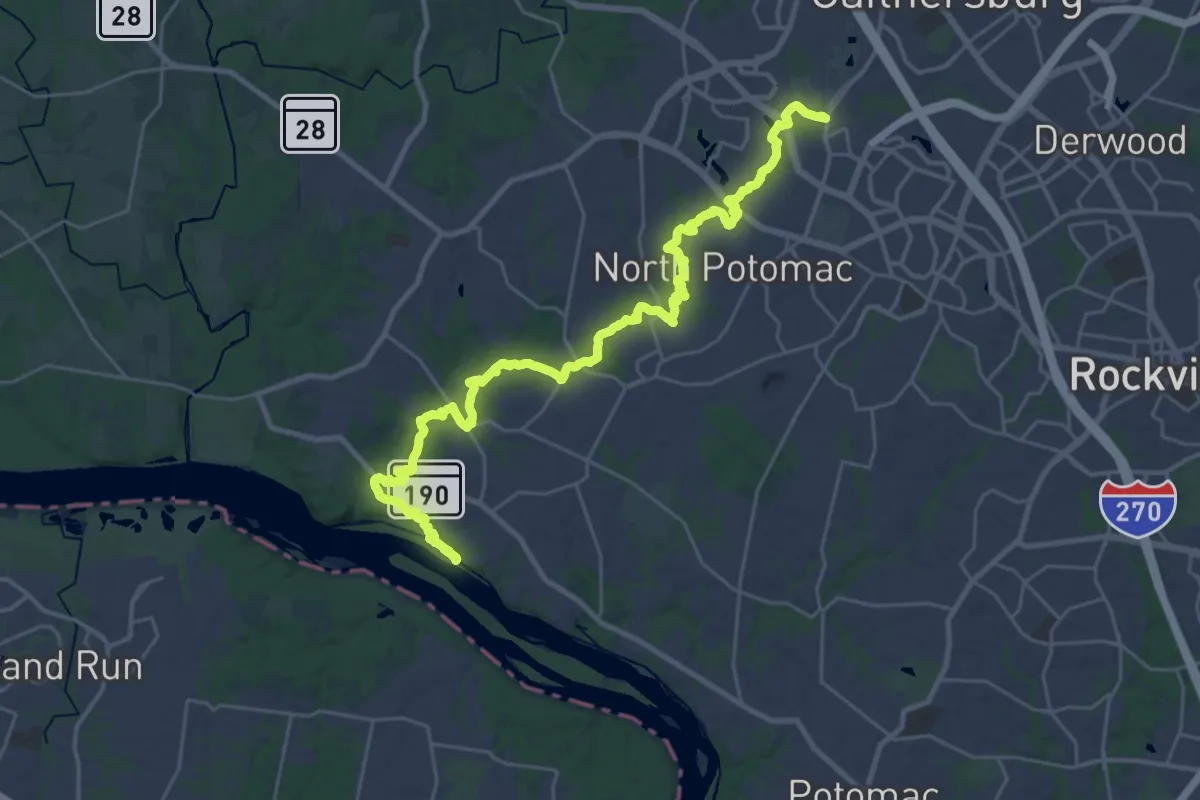
Demanding · Trail
Muddy Branch Greenway Trail
19.8 km · ↑ 134 m · 5 h 16 min · 11 km away
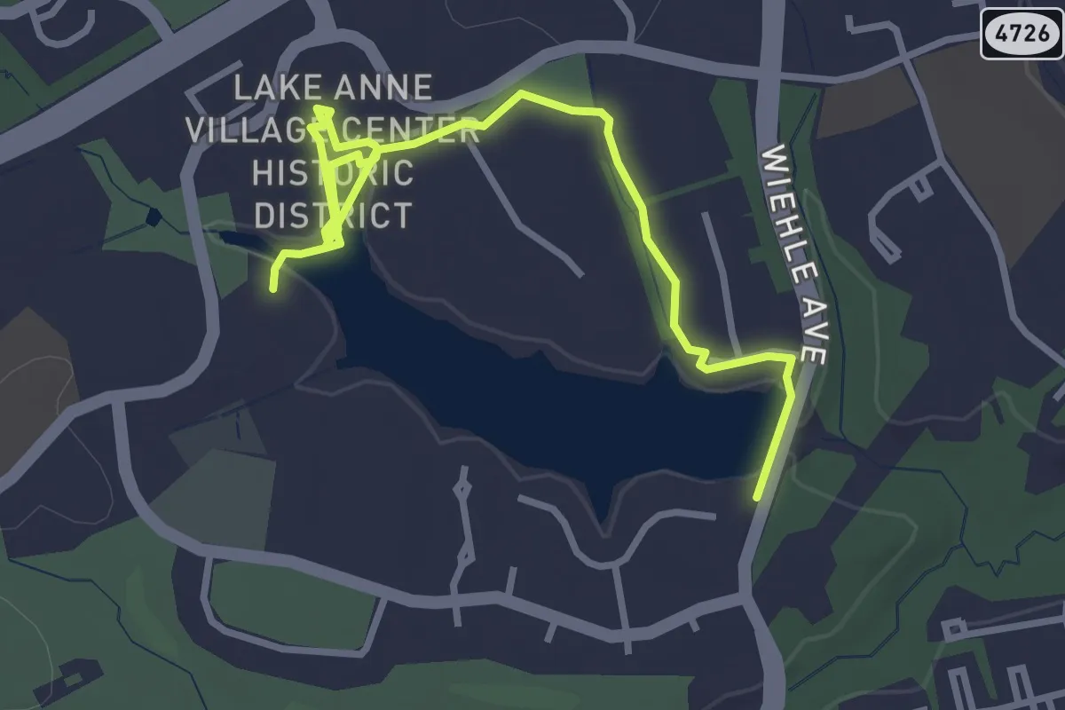
Easy · Trail
Reston Blue Trail
4.2 km · ↑ 34 m · 1 h 4 min · 12 km away
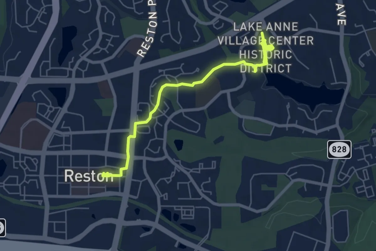
Easy · Trail
Reston Green Trail
6.5 km · ↑ 49 m · 1 h 38 min · 13 km away
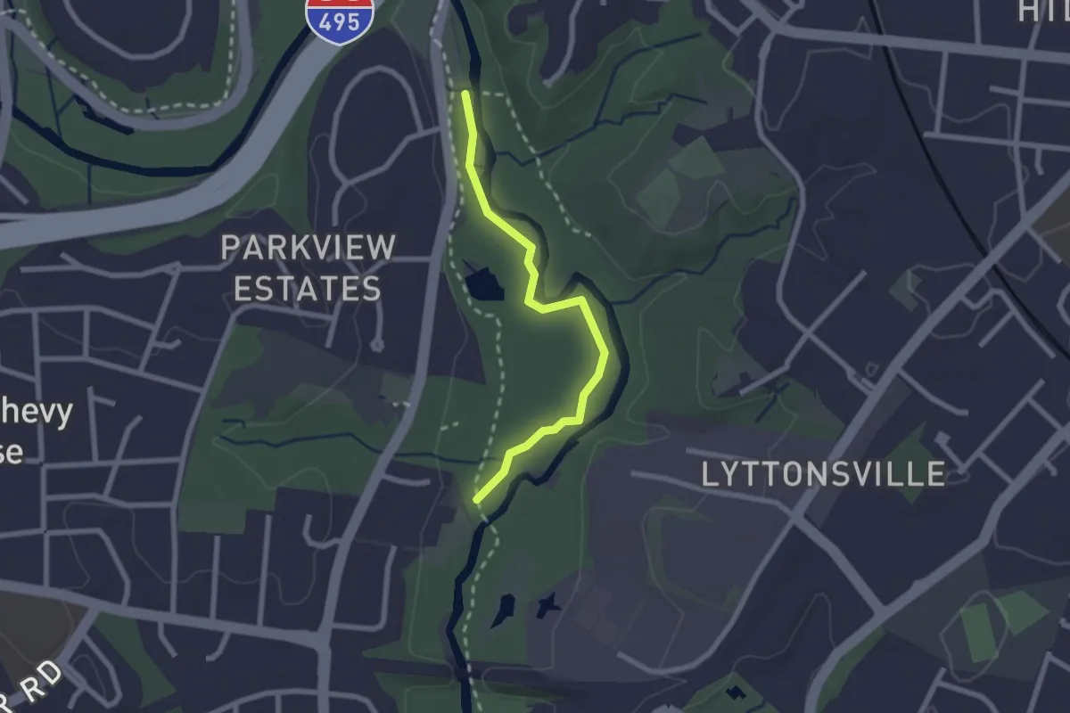
Easy · Trail
Purple Blaze
2.4 km · ↑ 0 m · 33 min · 13 km away
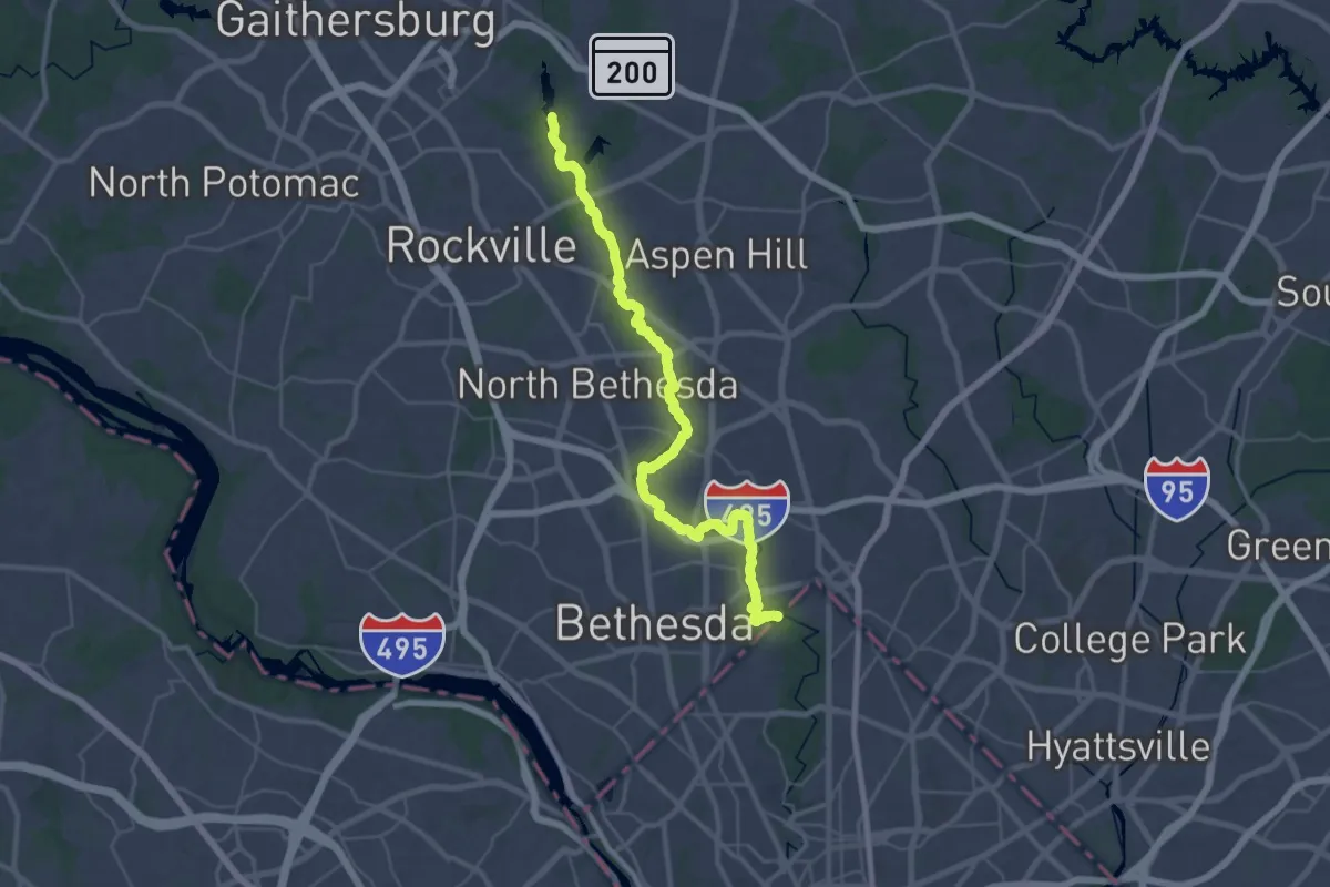
Demanding · Trail
Rock Creek Hiker/Biker Trail
23.0 km · ↑ 41 m · 5 h 52 min · 13 km away
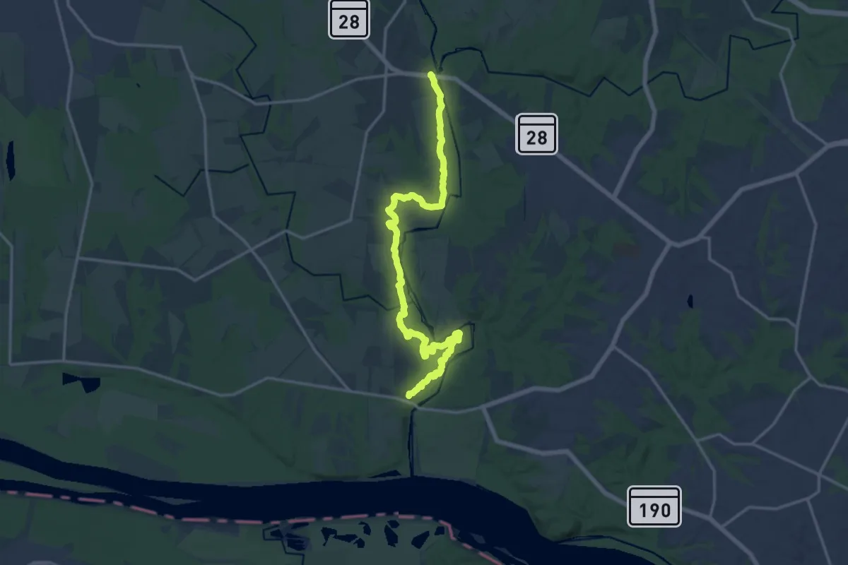
Demanding · Trail
Seneca Bluffs Trail
18.6 km · ↑ 180 m · 4 h 47 min · 13 km away
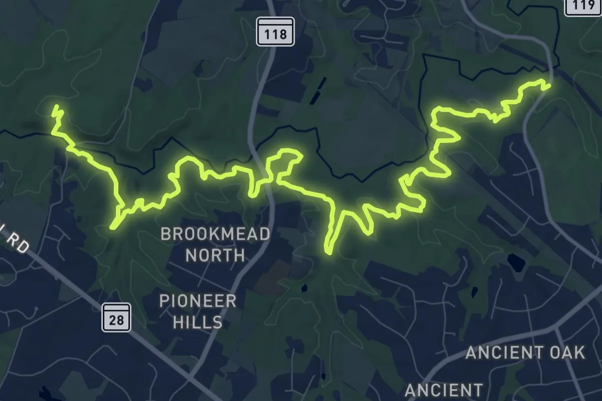
Demanding · Trail
Seneca Ridge Trail
21.0 km · ↑ 342 m · 5 h 42 min · 14 km away
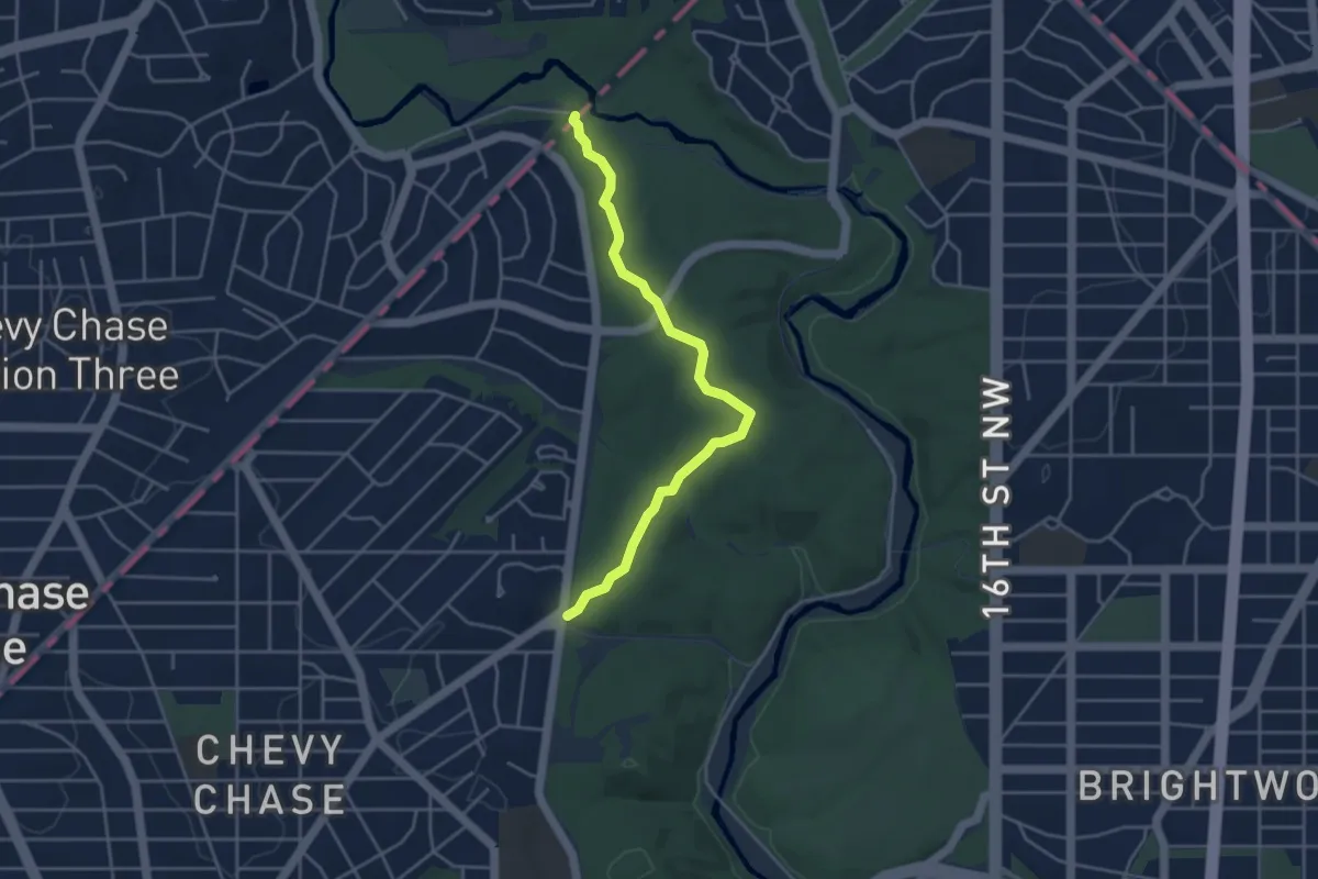
Easy · Trail
Western Ridge Trail
4.7 km · ↑ 117 m · 1 h 21 min · 14 km away
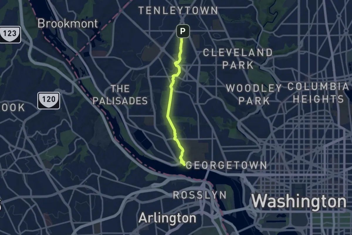
Medium · Trail
Glover-Archbold Trail
10.0 km · ↑ 130 m · 2 h 38 min · 14 km away
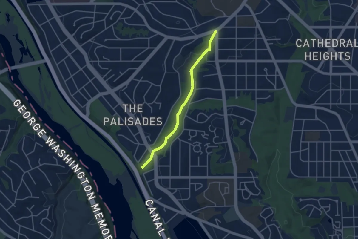
Easy · Trail
Battery Kemble Trail
3.5 km · ↑ 81 m · 1 h · 14 km away
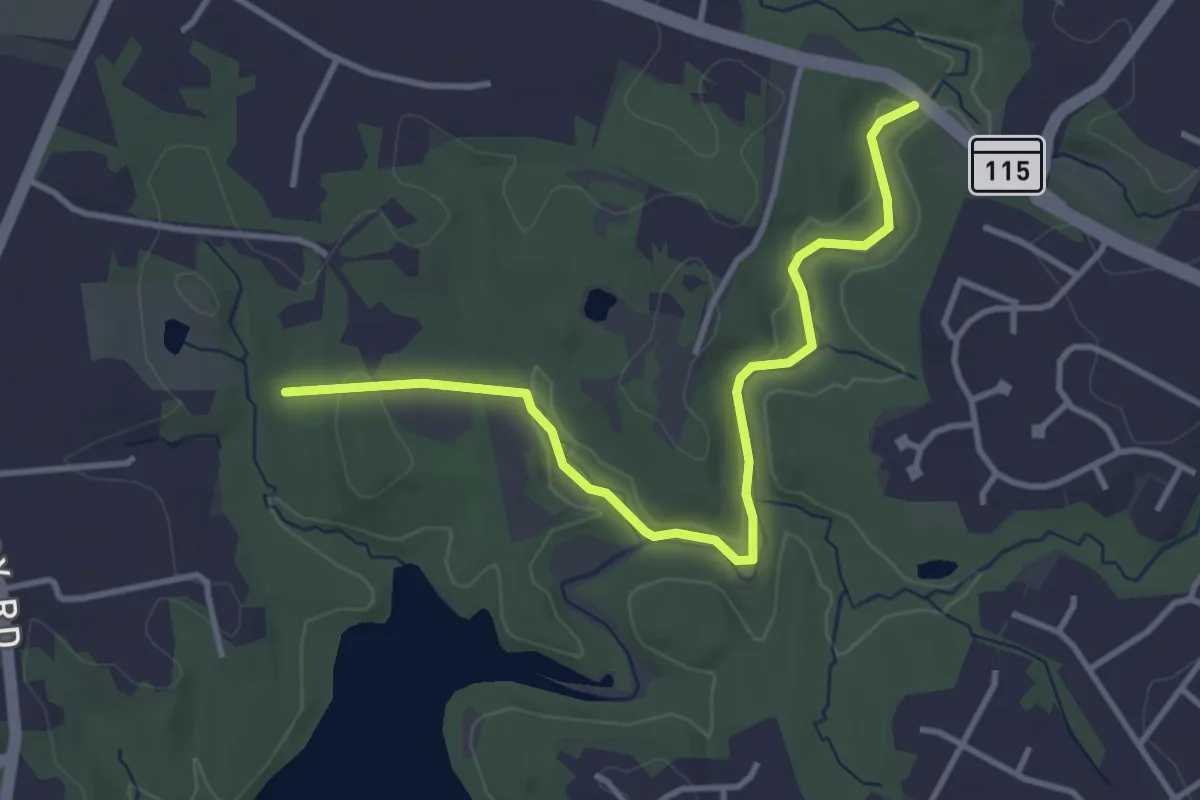
Easy · Trail
Muncaster Mill Trail
4.3 km · ↑ 32 m · 1 h 5 min · 14 km away