Trails near Ridgefield
75 hikes starting within 15 km, nearest first.
Nearest first, page 2 of 2
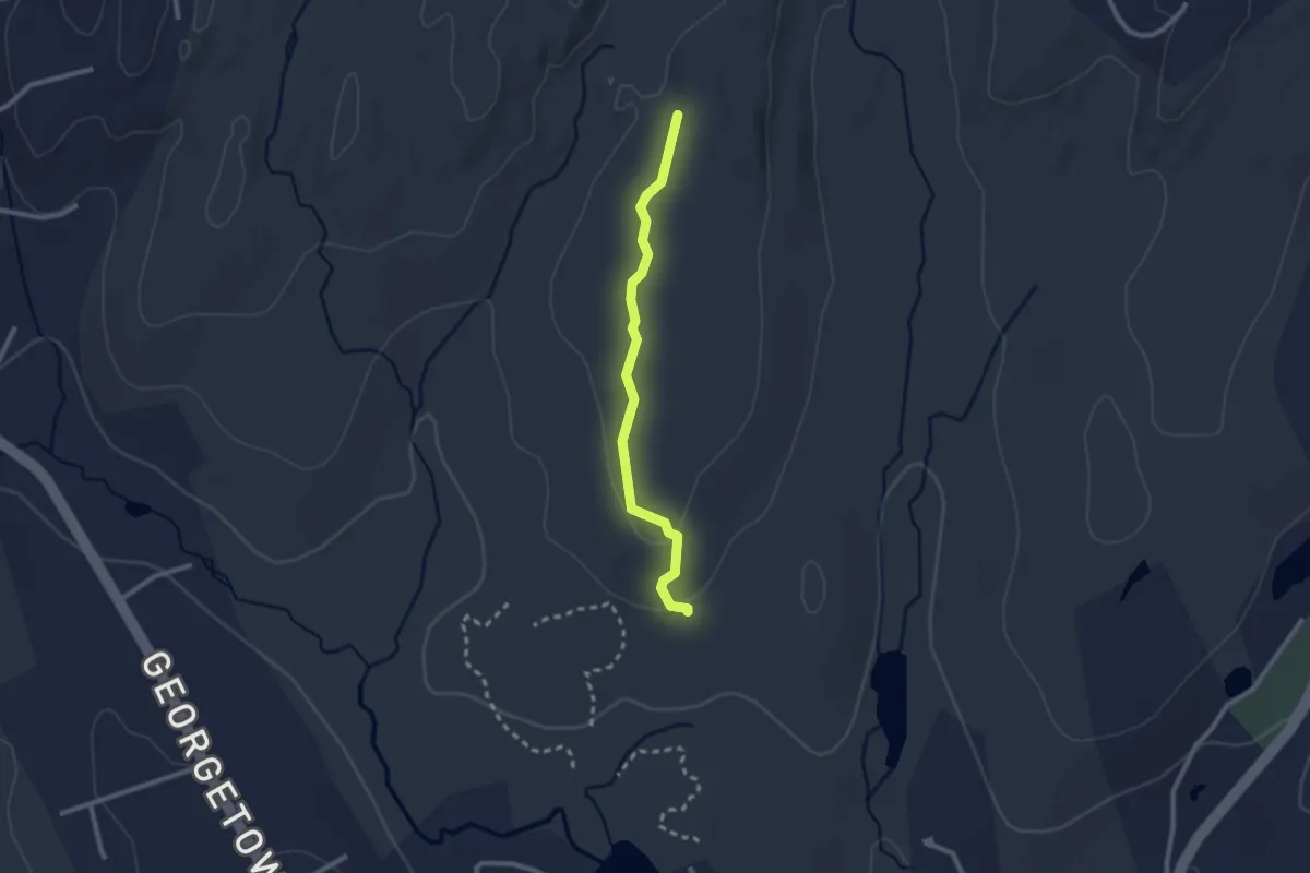
Easy · Trail
Hiltebeitel Trail
2.5 km · ↑ 55 m · 42 min · 9 km away
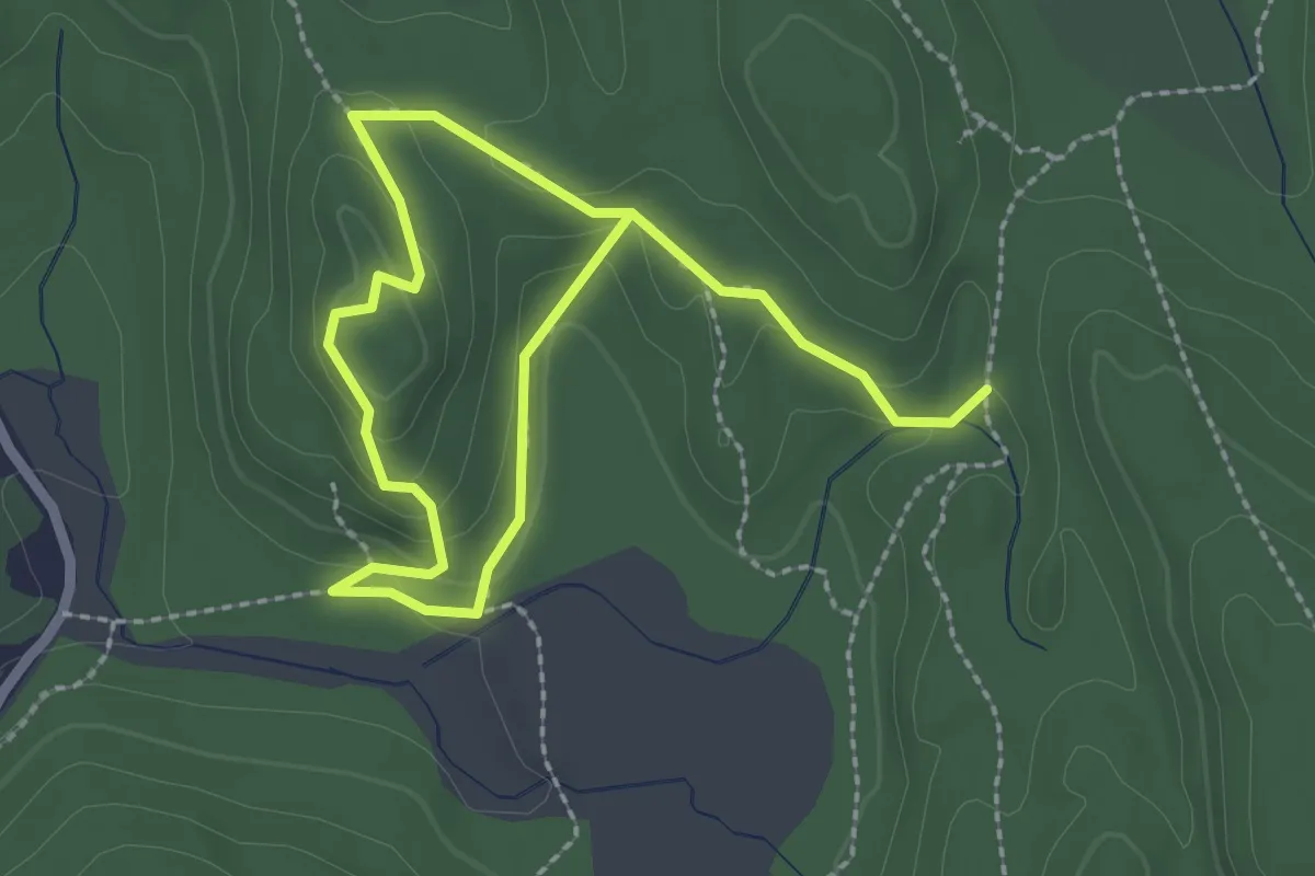
Easy · Trail
Leatherman's Loop
3.9 km · ↑ 136 m · 1 h 13 min · 9 km away
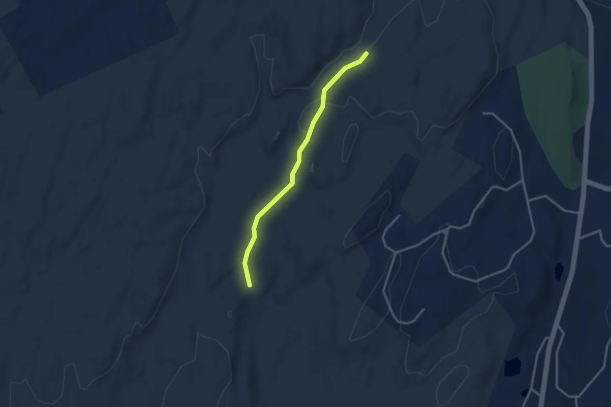
Easy · Trail
Godfrey Trail
2.6 km · ↑ 23 m · 40 min · 9 km away
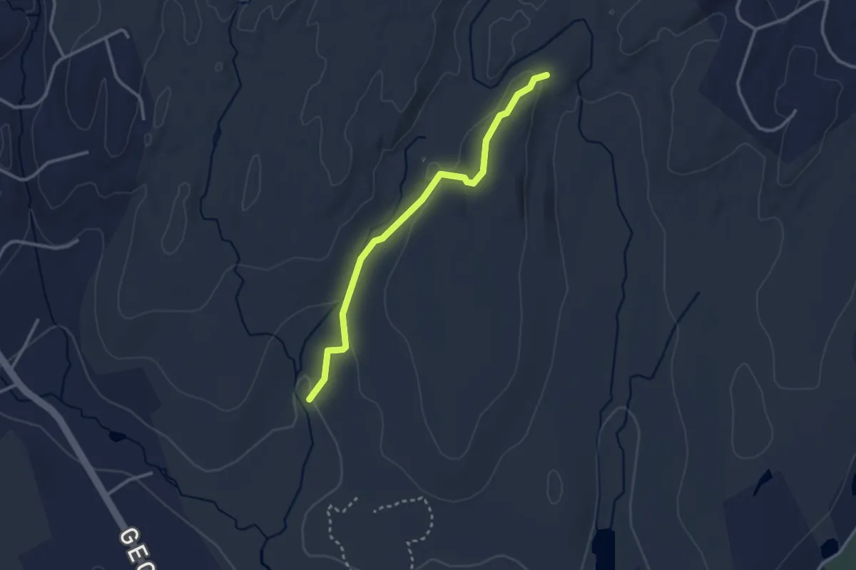
Easy · Trail
Sap Brook Trail
3.1 km · ↑ 83 m · 54 min · 9 km away
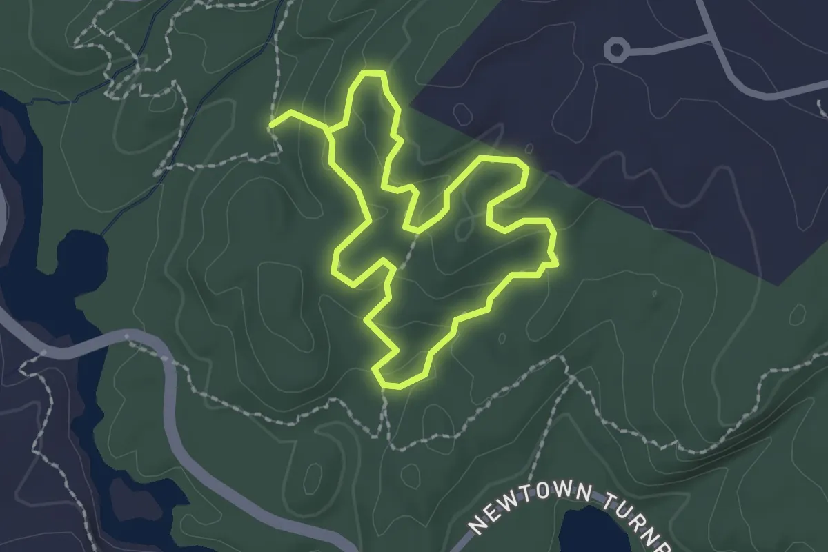
Easy · Trail
Delia Trail
1.9 km · ↑ 55 m · 37 min · 9 km away
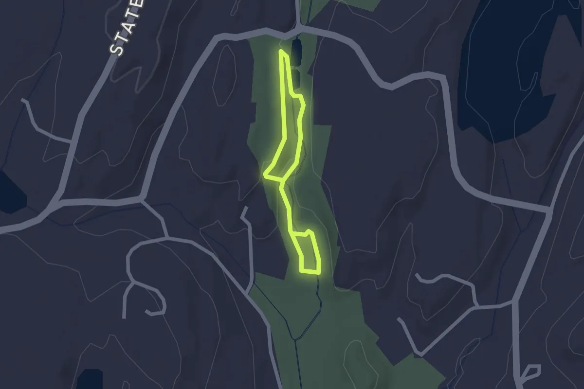
Easy · Trail
White Trail
2.8 km · ↑ 65 m · 48 min · 9 km away
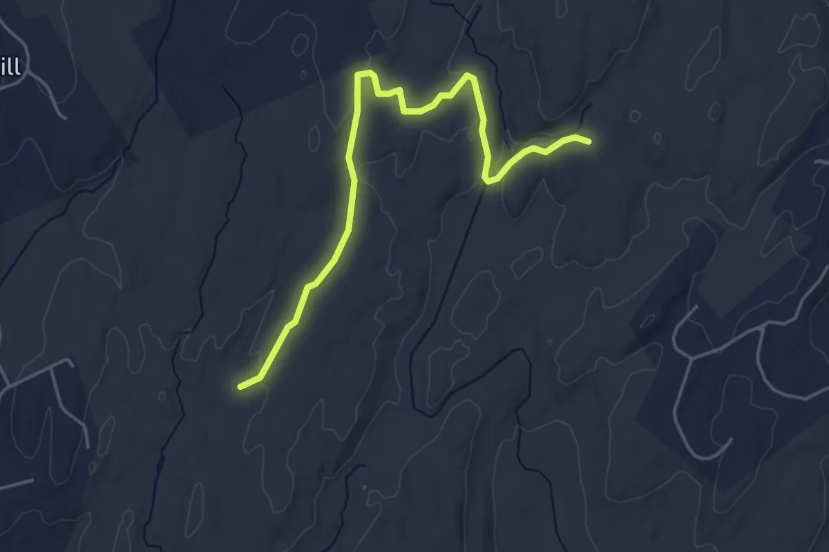
Easy · Trail
Bedford Trail
5.0 km · ↑ 102 m · 1 h 24 min · 9 km away
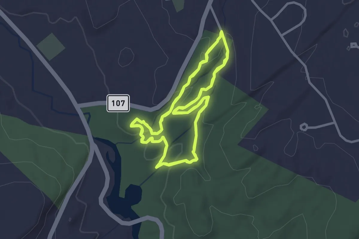
Easy · Trail
Two Ridges Trail
4.6 km · ↑ 155 m · 1 h 30 min · 9 km away
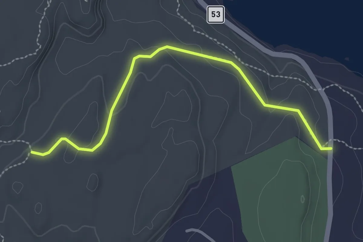
Easy · Trail
Pillars Trail
3.0 km · ↑ 59 m · 50 min · 10 km away
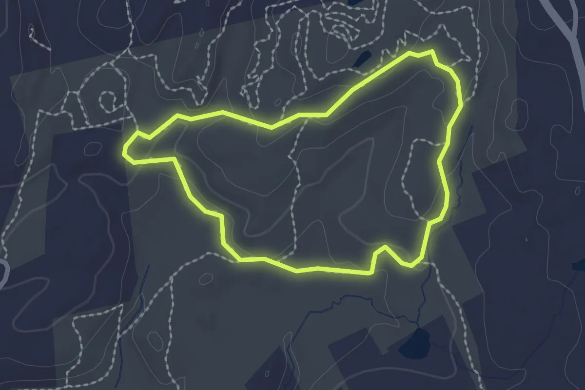
Easy · Trail
Gneiss Trail
2.1 km · ↑ 46 m · 37 min · 10 km away
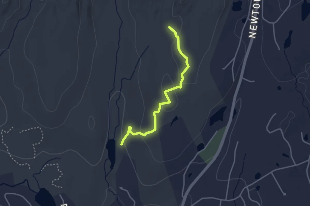
Easy · Trail
Troop 7 Trail
3.2 km · ↑ 78 m · 56 min · 10 km away
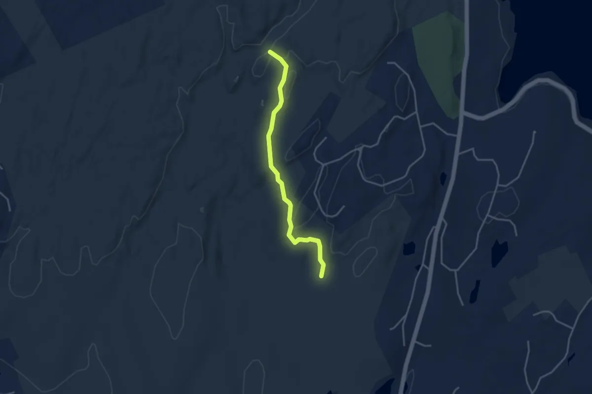
Easy · Trail
Aspetuck Trail
3.6 km · ↑ 43 m · 56 min · 10 km away
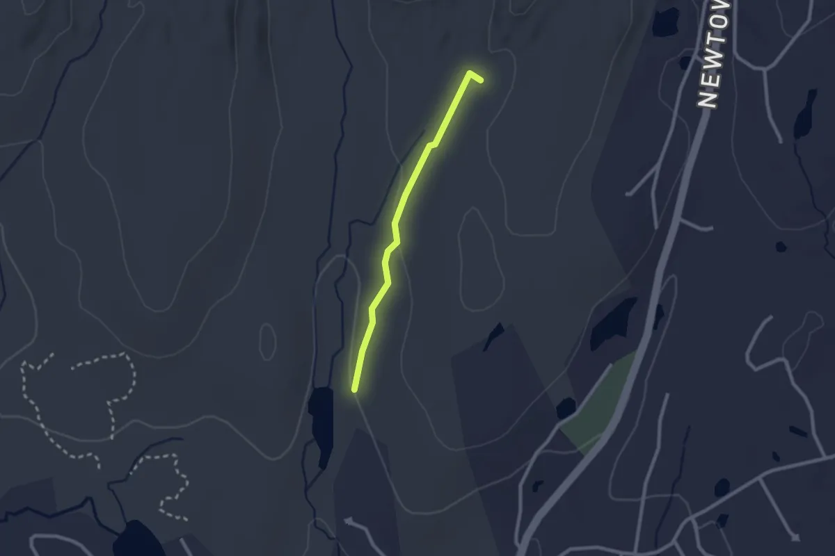
Easy · Trail
Perry Trail
2.2 km · ↑ 32 m · 35 min · 10 km away
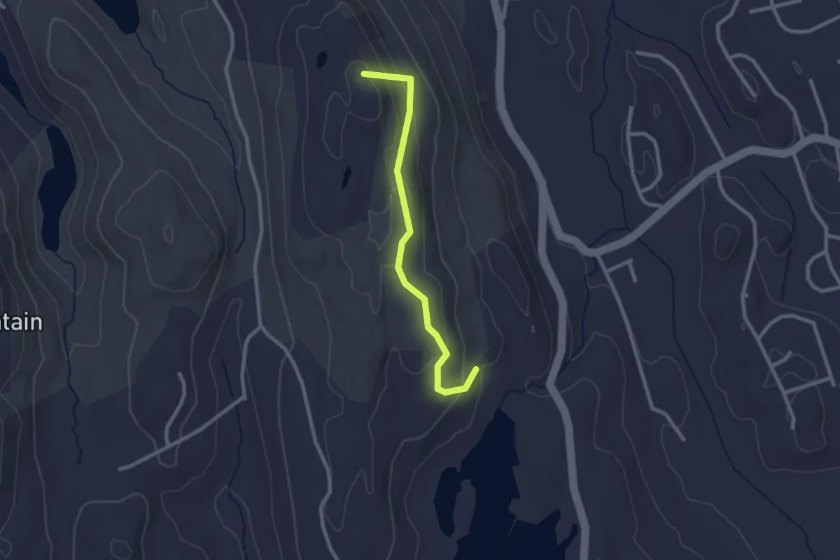
Easy · Summit
Ives Trail Greenway Alternative
2.5 km · ↑ 140 m · 54 min · 10 km away
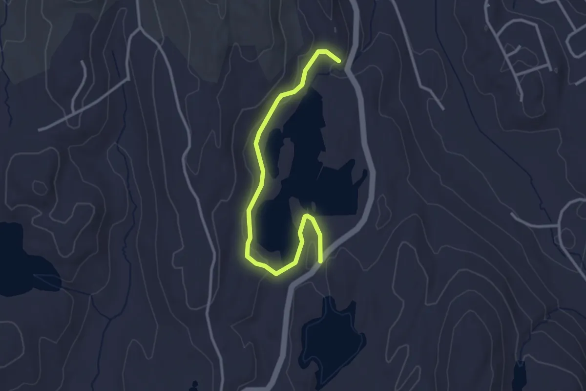
Easy · Trail
Eureka Lake Path
3.3 km · ↑ 71 m · 57 min · 11 km away
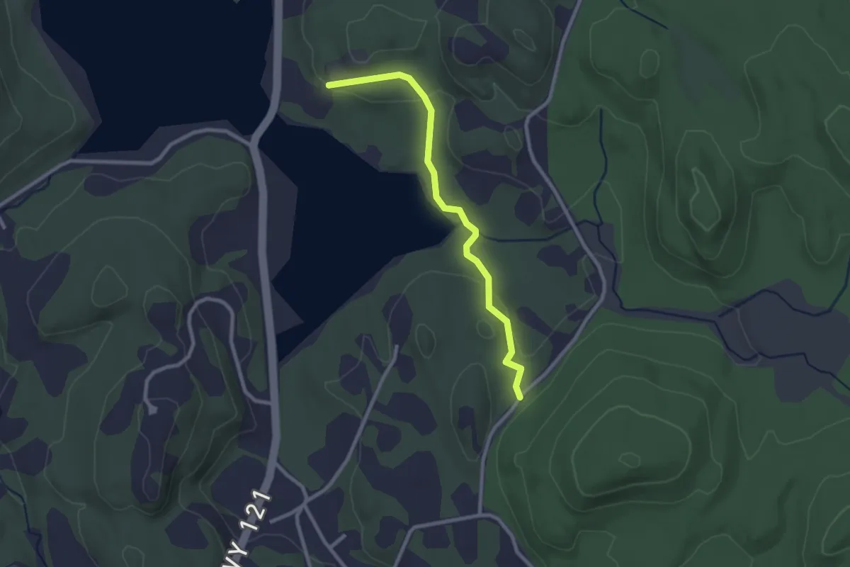
Easy · Trail
Yellow Trail
2.7 km · ↑ 99 m · 51 min · 11 km away
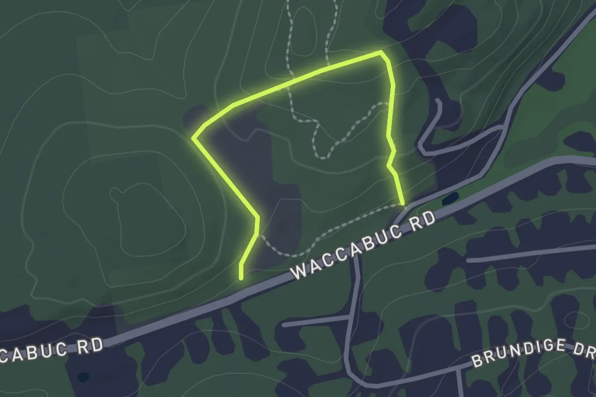
Easy · Trail
White Trail
2.4 km · ↑ 103 m · 47 min · 11 km away
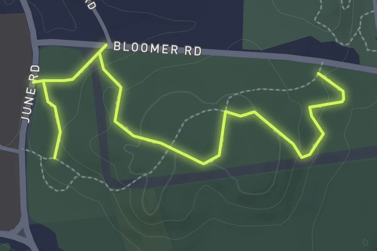
Easy · Trail
White Trail
3.5 km · ↑ 82 m · 1 h · 11 km away
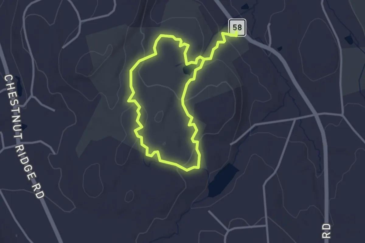
Easy · Trail
Stephenson Trail
5.3 km · ↑ 163 m · 1 h 36 min · 13 km away
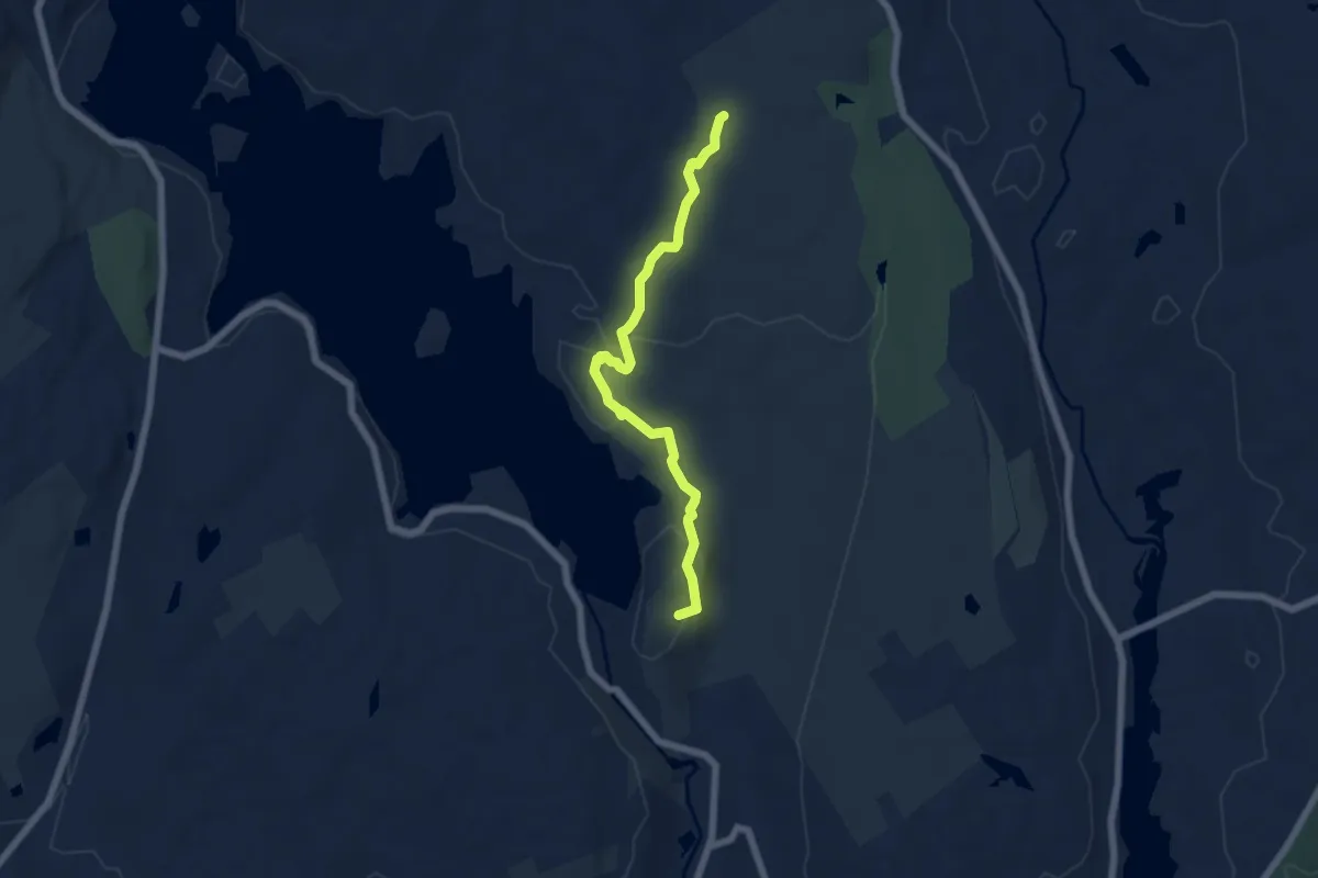
Easy · Summit
Ordway Trail
6.4 km · ↑ 231 m · 2 h 1 min · 13 km away
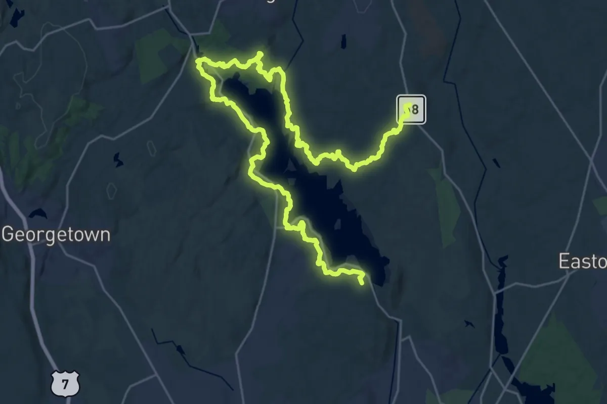
Medium · Trail
Saugatuck Trail
17.6 km · ↑ 436 m · 5 h 22 min · 13 km away
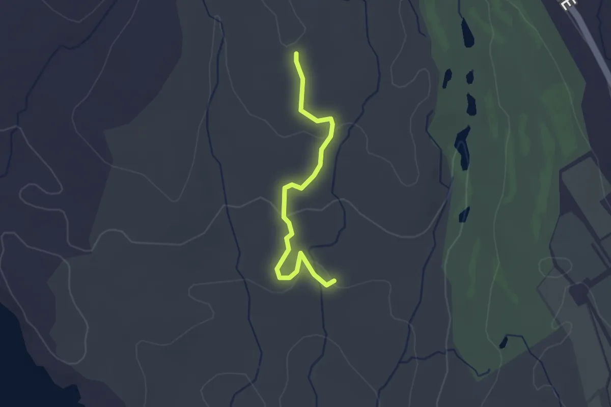
Easy · Trail
Ruth’s Trail
2.5 km · ↑ 55 m · 43 min · 14 km away
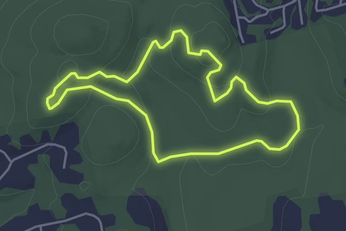
Easy · Trail
Blue Trail
3.2 km · ↑ 122 m · 1 h 4 min · 14 km away
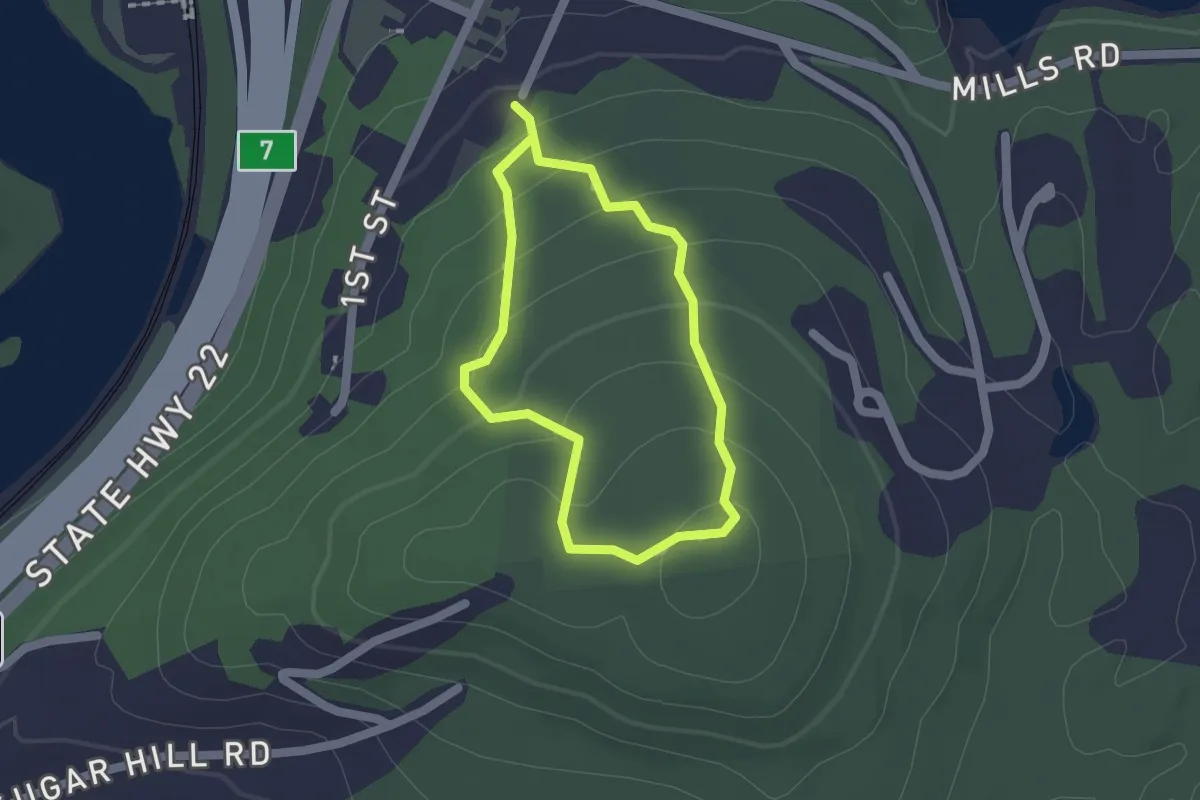
Easy · Trail
Yellow Trail
1.5 km · ↑ 77 m · 32 min · 14 km away
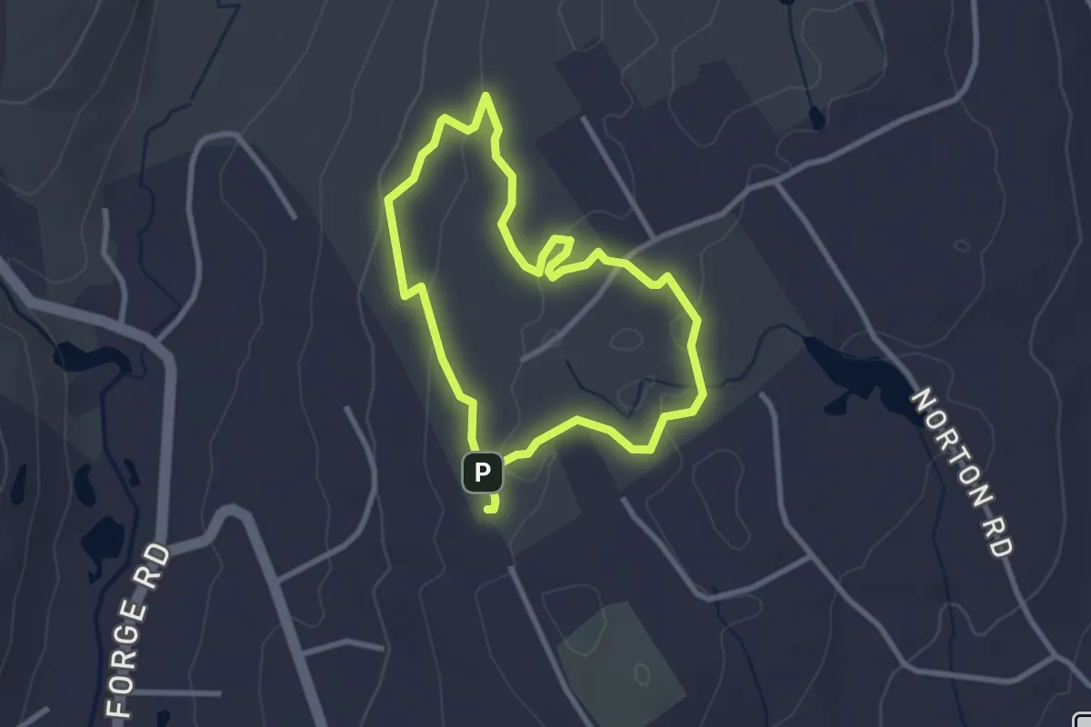
Easy · Trail
Pink Trail (Off Leash Loop)
2.7 km · ↑ 36 m · 45 min · 14 km away
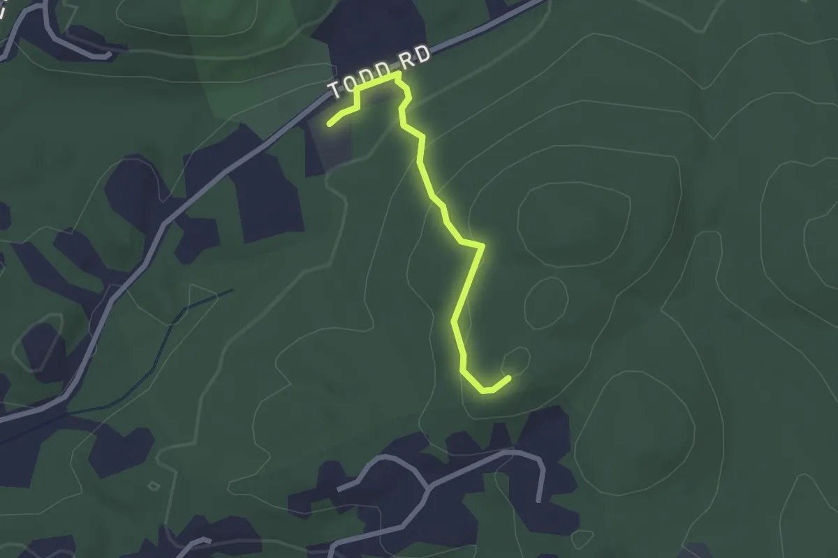
Easy · Trail
Bauer Meadow Hill Trail
2.1 km · ↑ 111 m · 43 min · 14 km away
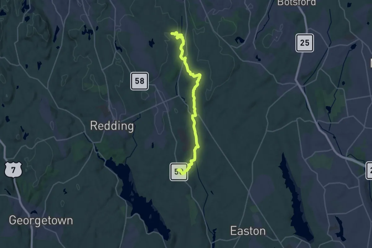
Demanding · Trail
Aspetuck Valley Trail
21.9 km · ↑ 370 m · 5 h 59 min · 15 km away