Trails near Rochester
28 hikes starting within 15 km, nearest first.
Nearest first
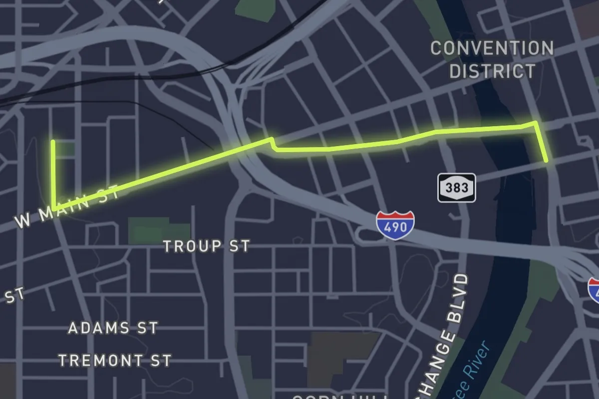
Easy · Trail
Heritage Trail
4.0 km · ↑ 20 m · 59 min · 1 km away
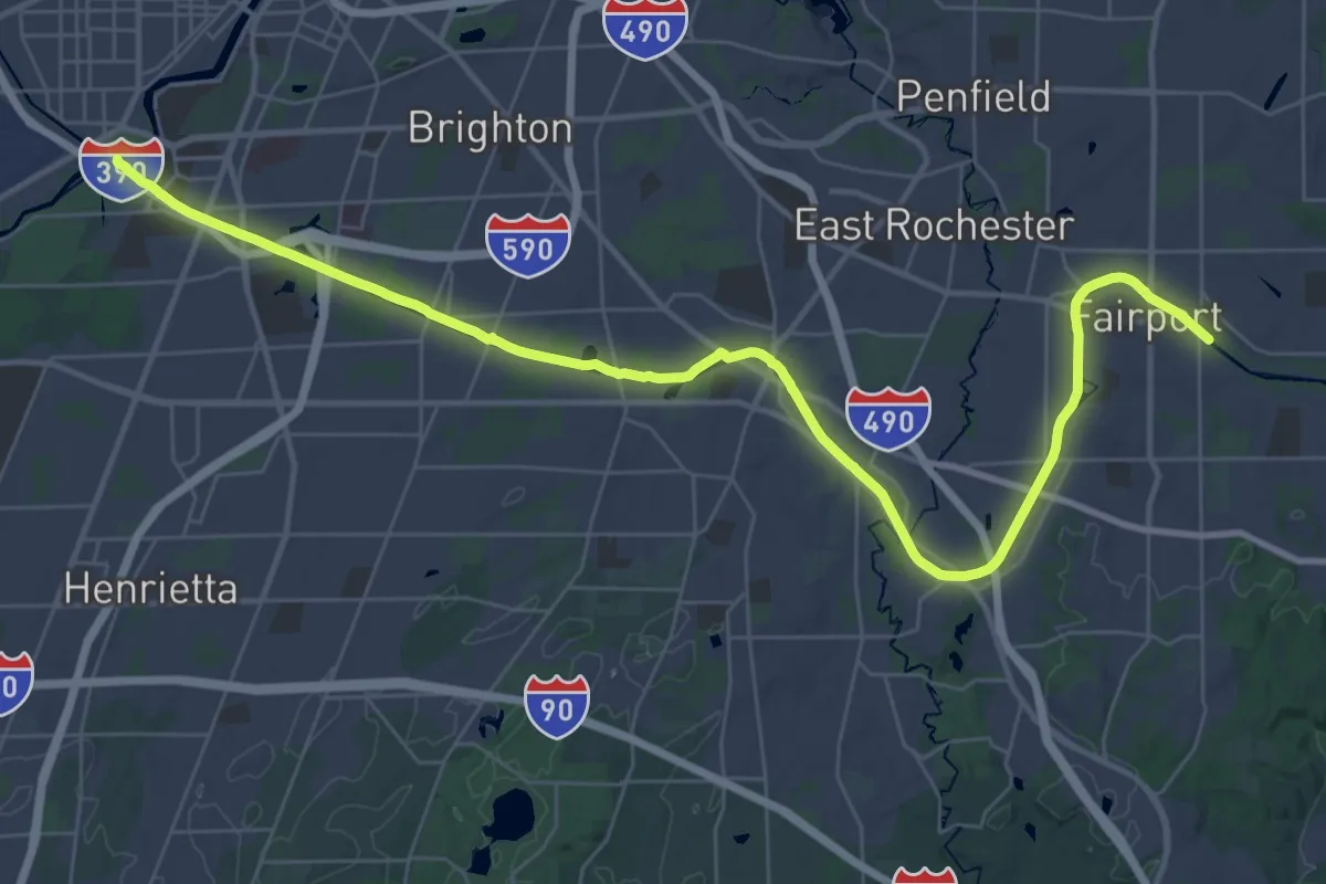
Demanding · Trail
Erie Canalway Trail (Rochester to Fairport)
23.4 km · ↑ 9 m · 5 h 53 min · 4 km away
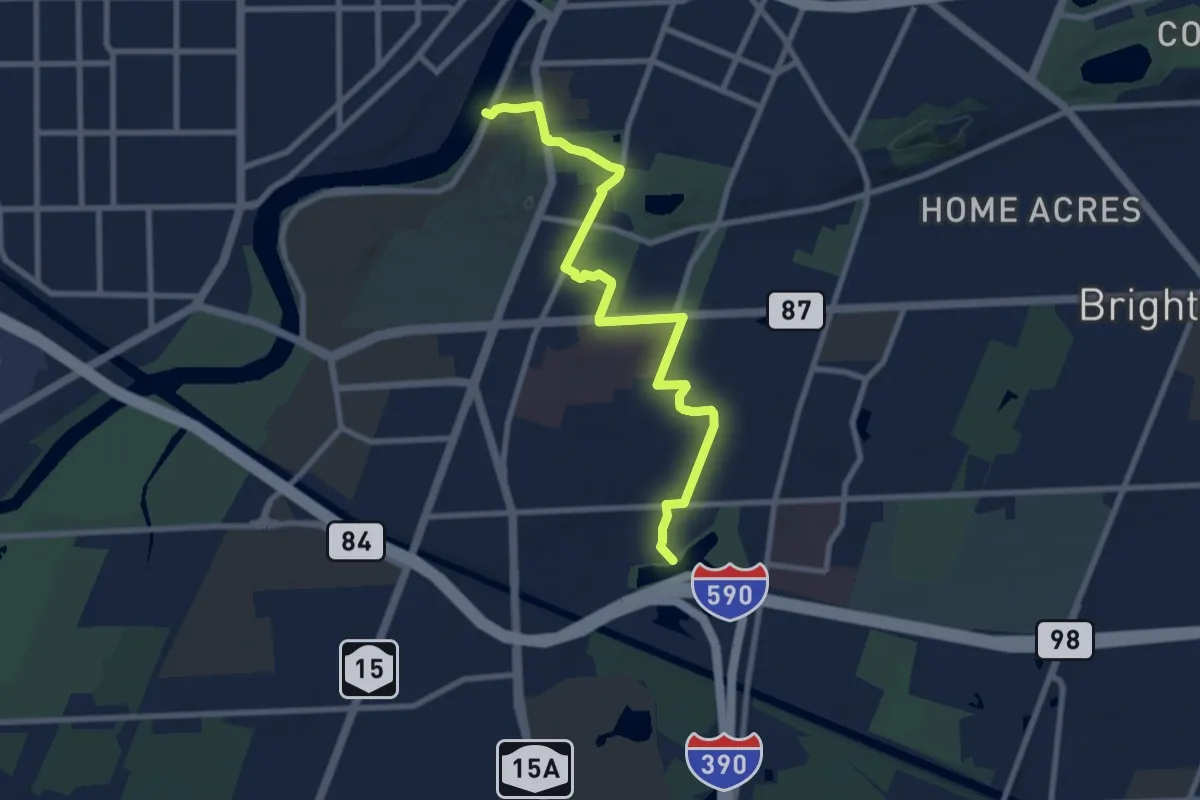
Medium · Trail
Highland Crossing Trail
9.7 km · ↑ 54 m · 2 h 24 min · 5 km away
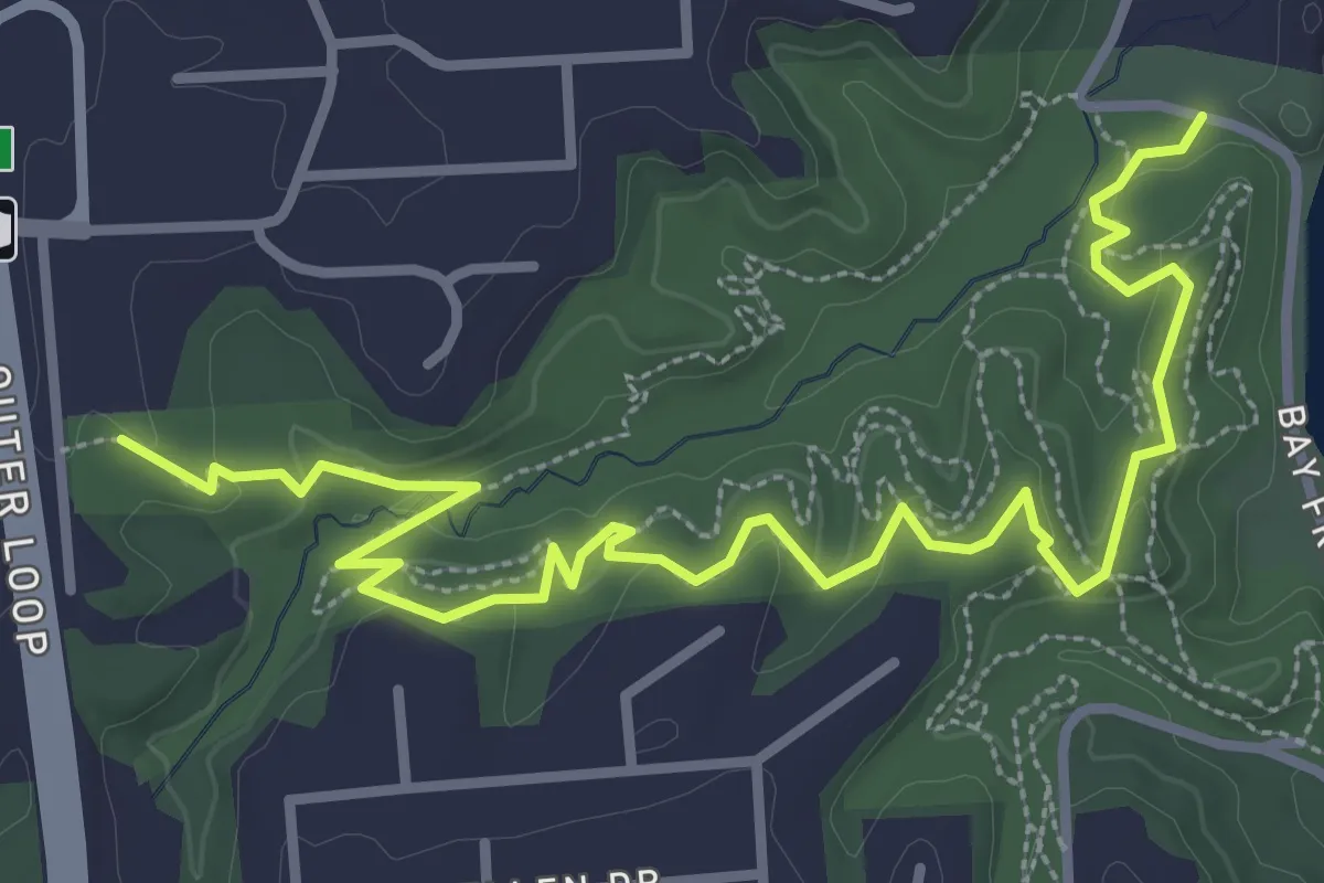
Easy · Trail
Blue Trail
4.6 km · ↑ 146 m · 1 h 24 min · 7 km away
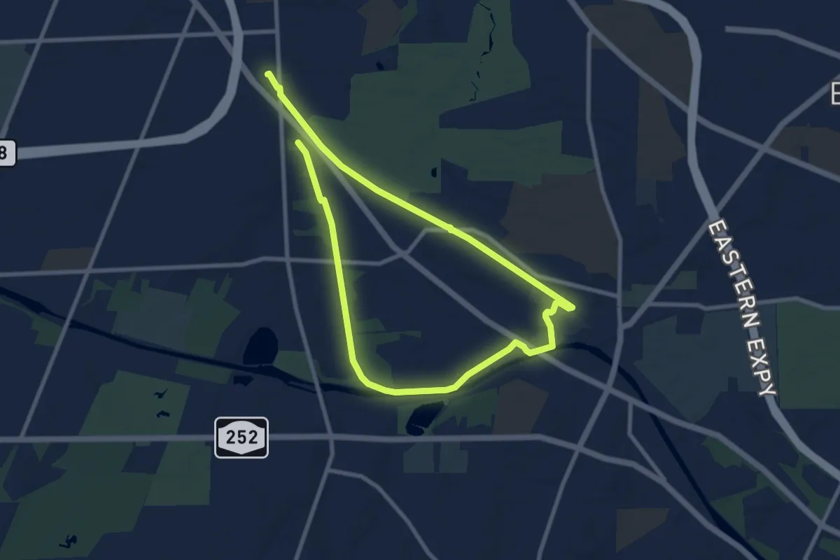
Easy · Trail
Lock 62 / Auburn Trail Loop
7.4 km · ↑ 22 m · 1 h 54 min · 7 km away
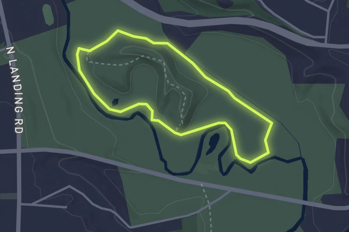
Easy · Trail
Indian Landing Trail
2.4 km · ↑ 10 m · 37 min · 7 km away
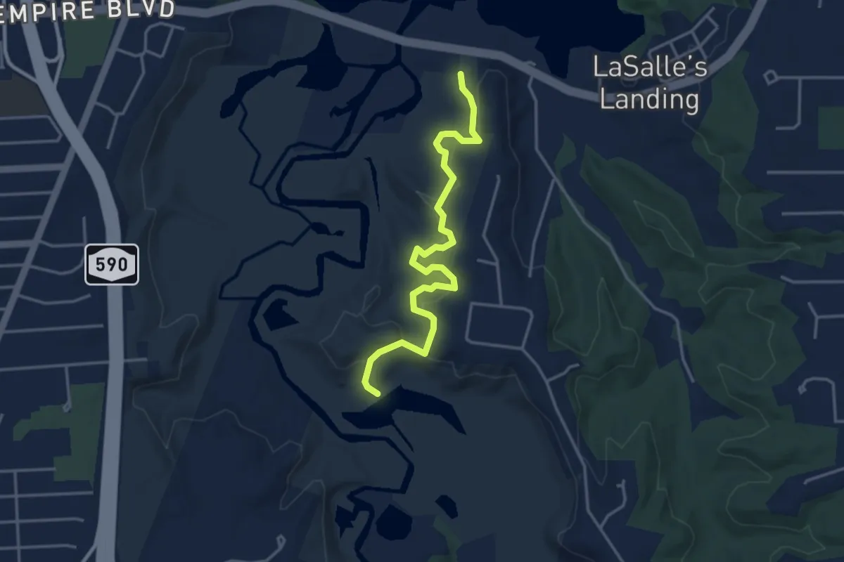
Easy · Trail
Blue Trail
4.1 km · ↑ 162 m · 1 h 19 min · 8 km away
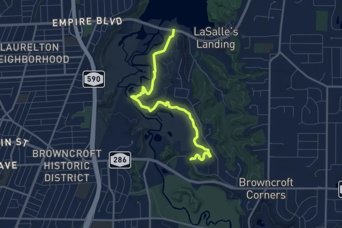
Medium · Trail
White Trail
8.3 km · ↑ 238 m · 2 h 29 min · 8 km away
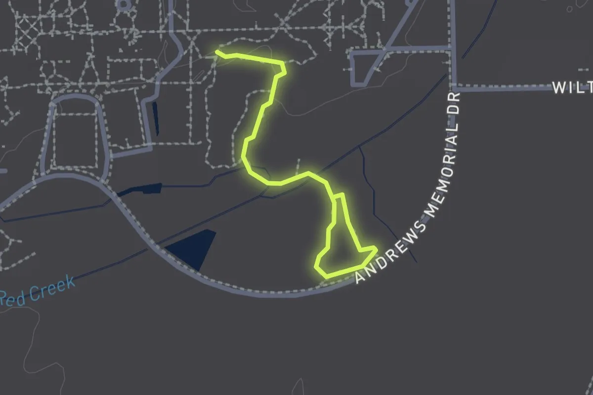
Easy · Trail
Nature Trail (1.2 mi)
1.1 km · ↑ 0 m · 17 min · 10 km away
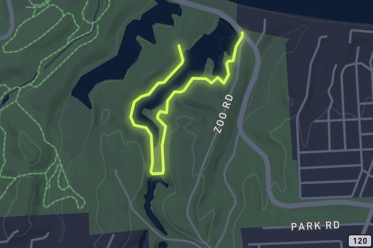
Easy · Trail
Durand Lake Trail
3.8 km · ↑ 56 m · 1 h · 10 km away
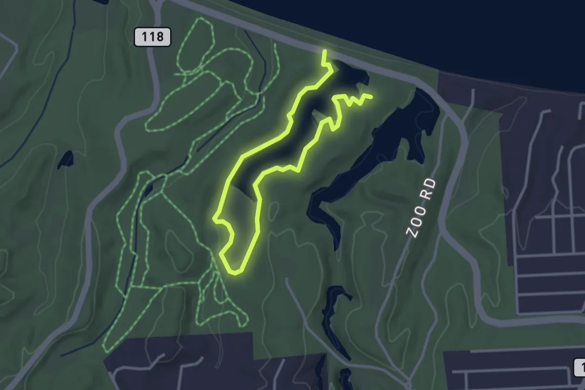
Easy · Trail
Eastman Lake Trail
4.7 km · ↑ 39 m · 1 h 11 min · 10 km away
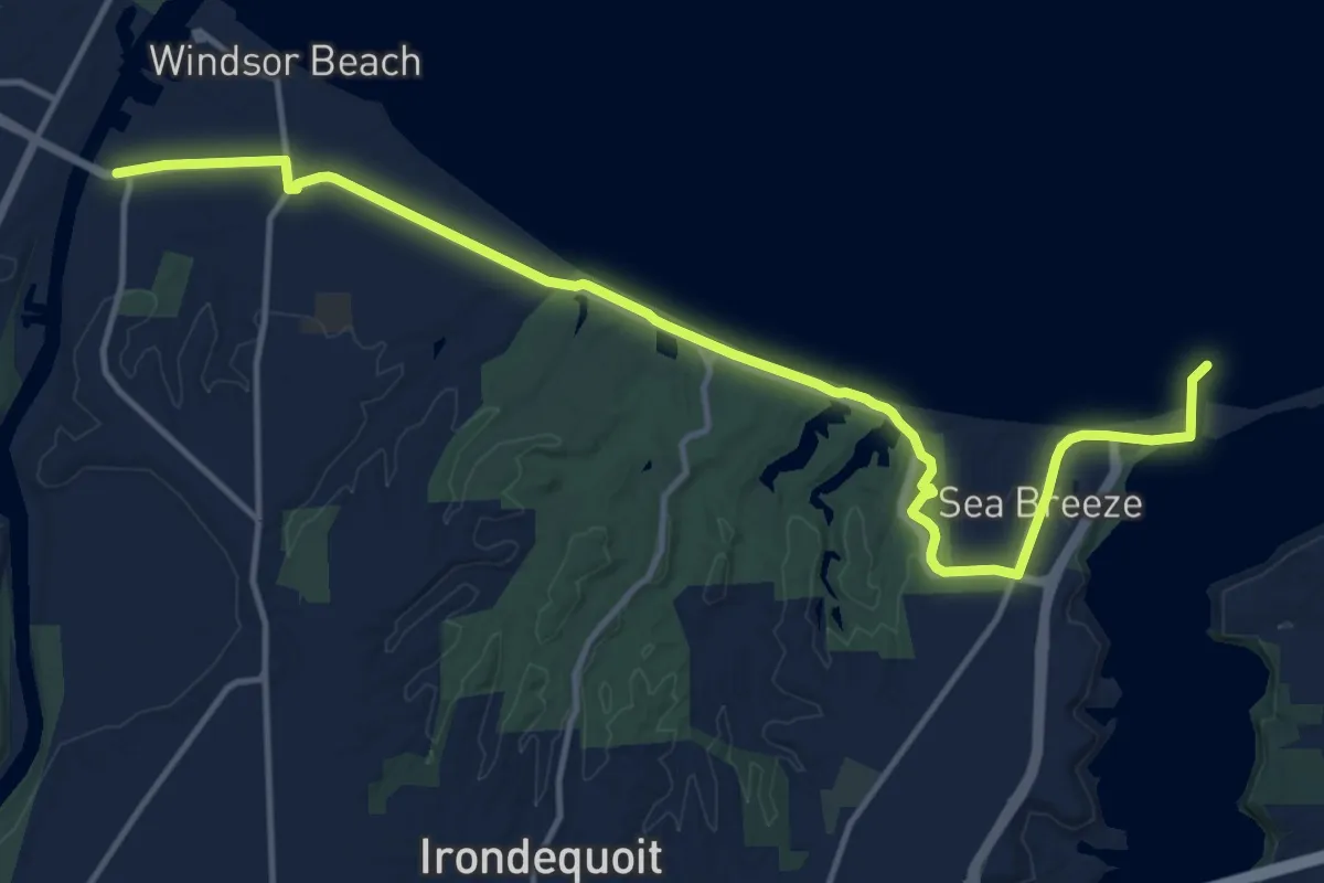
Medium · Trail
Irondequoit Lakeside Trail
16.8 km · ↑ 102 m · 4 h 11 min · 10 km away
Easy · Trail
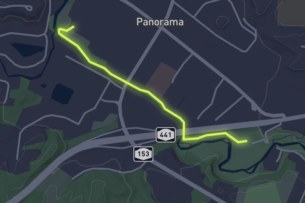
Panorama Plaza Trail
2.9 km · ↑ 10 m · 42 min · 11 km away
Easy · Trail
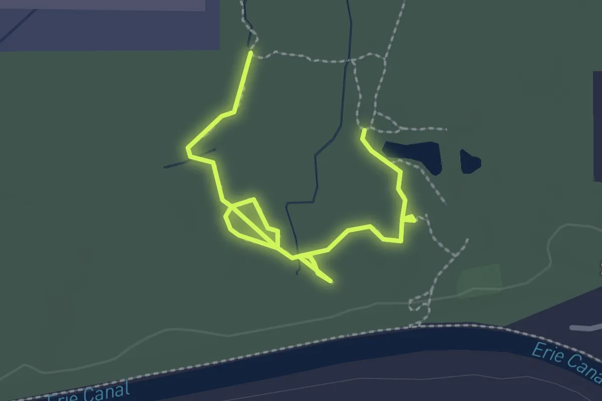
Fox Run Trail
3.1 km · ↑ 4 m · 44 min · 11 km away
Easy · Trail
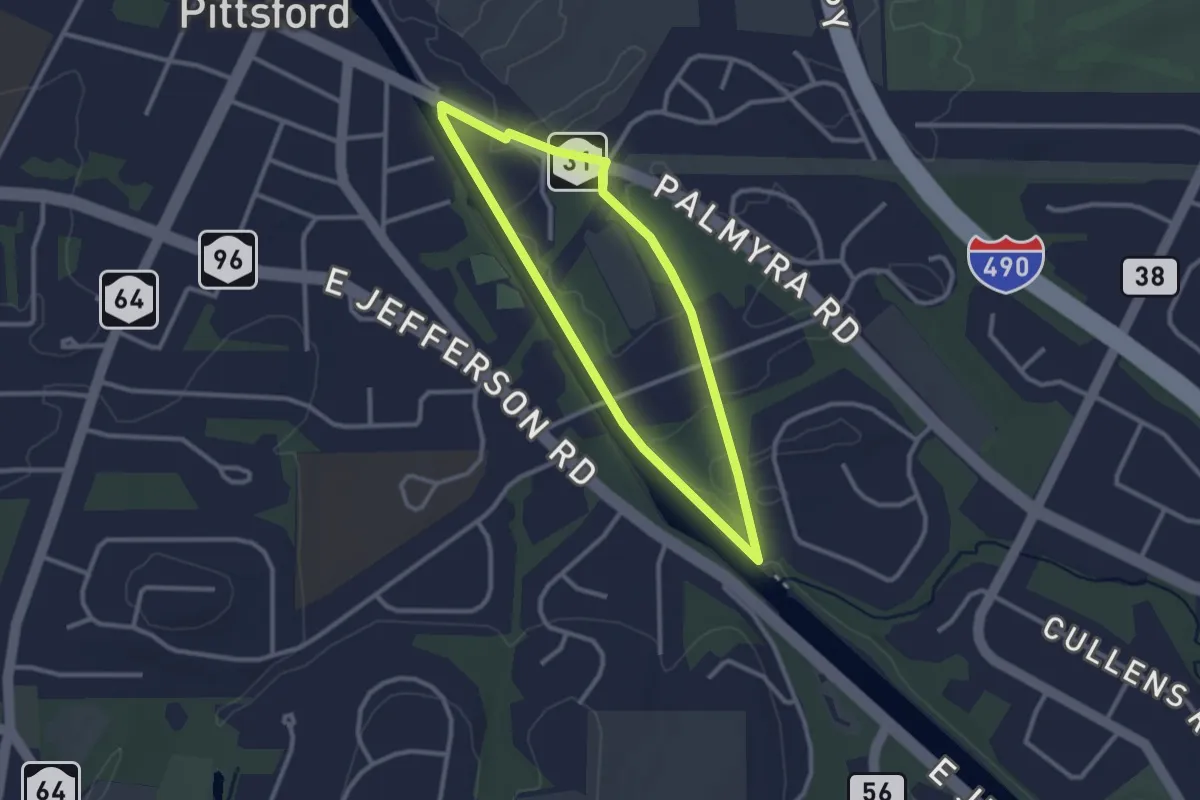
Mitchell Loop
2.6 km · ↑ 9 m · 41 min · 12 km away
Easy · Trail
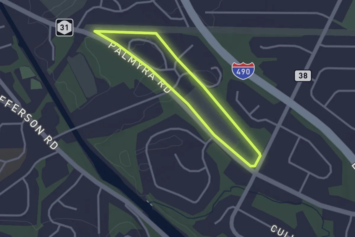
Highlands Loop
2.4 km · ↑ 9 m · 37 min · 12 km away
Easy · Trail
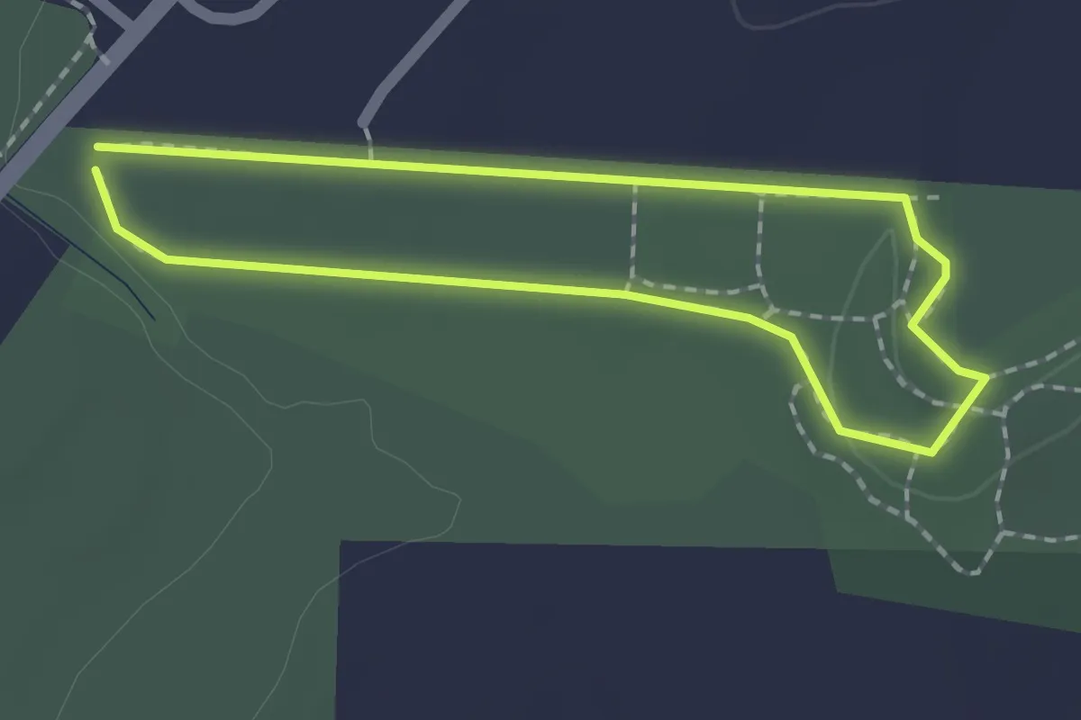
Glazer Loop
1.6 km · ↑ 12 m · 25 min · 13 km away
Demanding · Trail
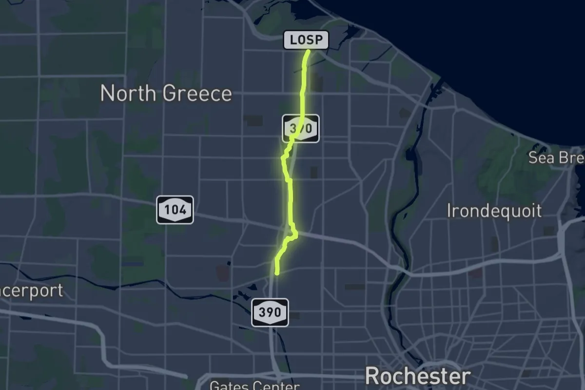
Route 390 Trail
19.2 km · ↑ 82 m · 4 h 43 min · 13 km away
Easy · Trail
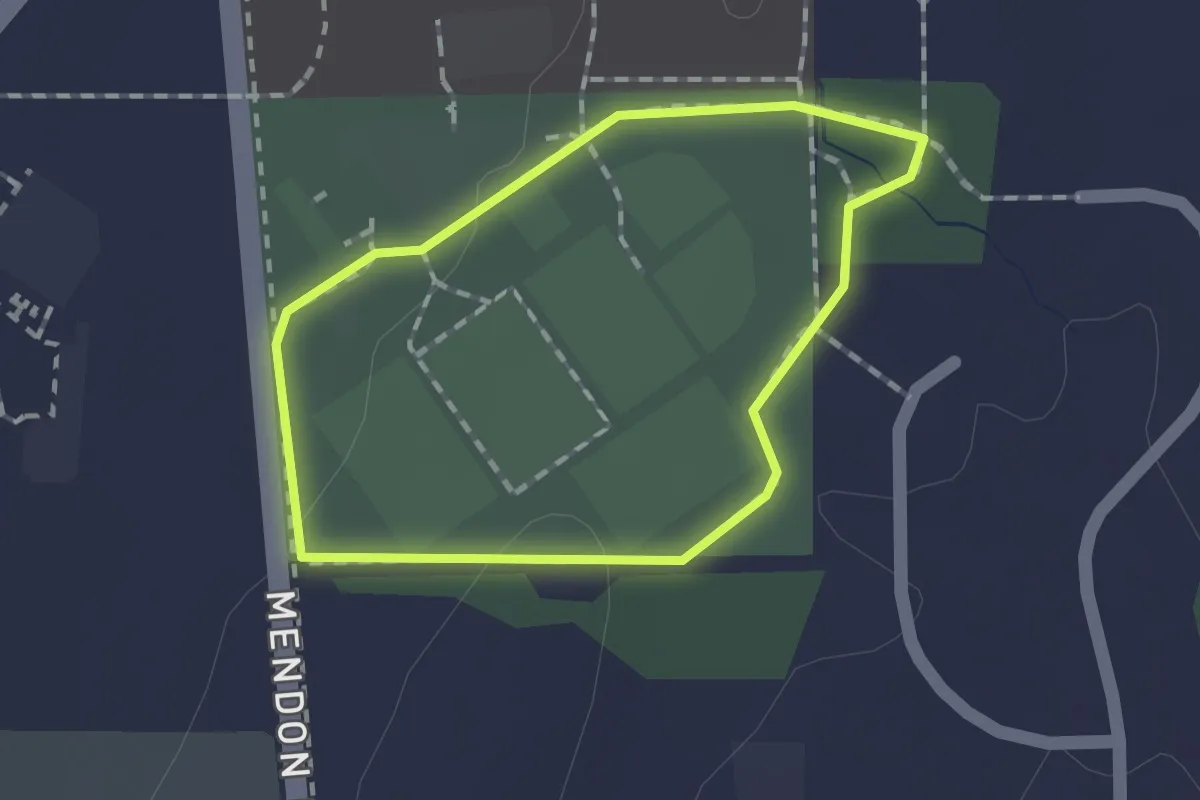
Farm Loop
1.3 km · ↑ 4 m · 19 min · 14 km away
Easy · Trail
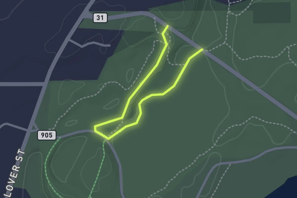
Fern Valley Trail
2.6 km · ↑ 10 m · 37 min · 14 km away
Easy · Trail
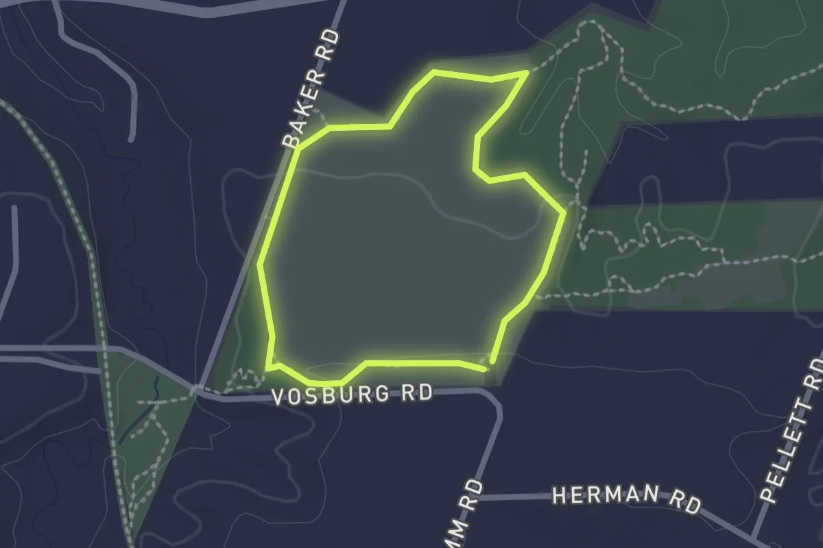
Big Field Trail
1.8 km · ↑ 13 m · 29 min · 14 km away
Easy · Trail
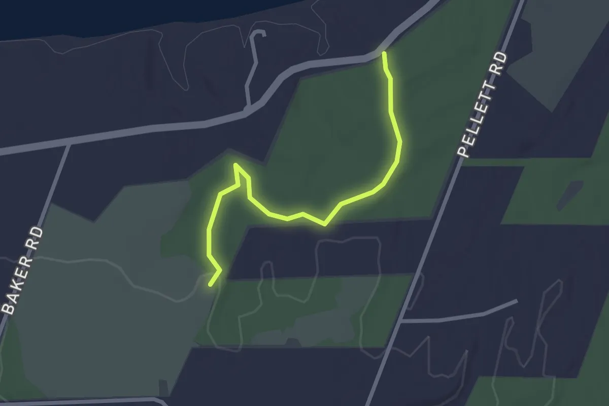
Big Woods Trail
2.4 km · ↑ 28 m · 38 min · 14 km away
Easy · Trail
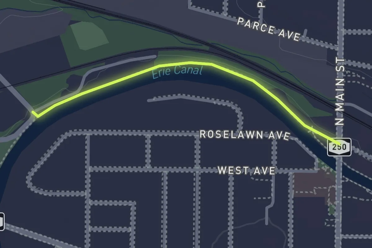
Rochester, Syracuse & Eastern Trolley Trail
2.3 km · ↑ 0 m · 32 min · 14 km away
Easy · Trail
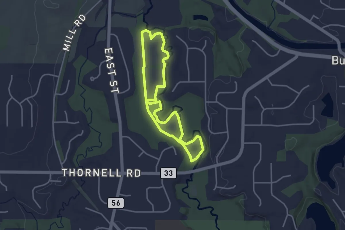
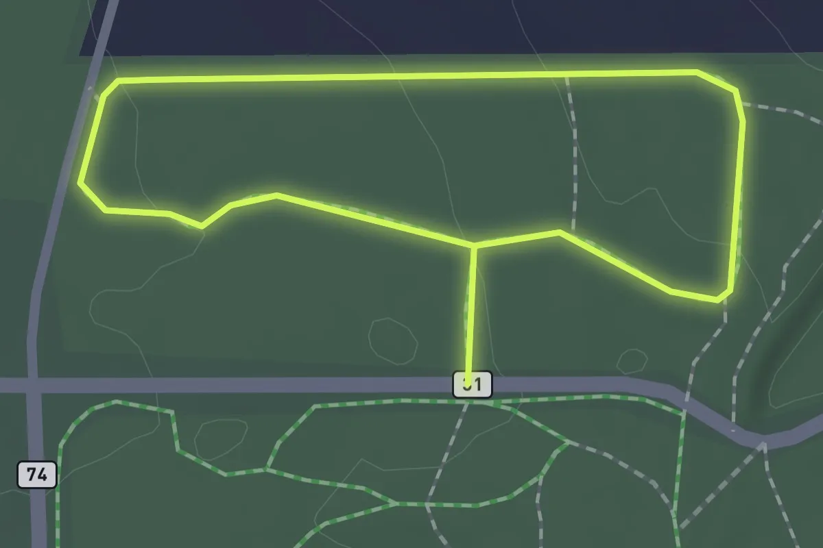
Sugar Bush Loop
3.0 km · ↑ 0 m · 46 min · 15 km away
Easy · Trail
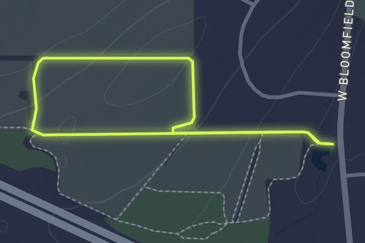
Pine Woods Trail
1.6 km · ↑ 24 m · 27 min · 15 km away
Demanding · Trail
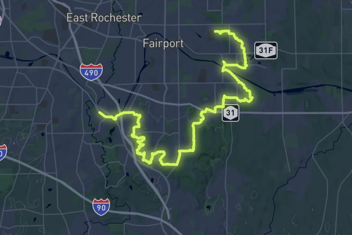
Crescent Trail (Orange Blazes)
28.4 km · ↑ 430 m · 8 h 2 min · 15 km away
Easy · Trail
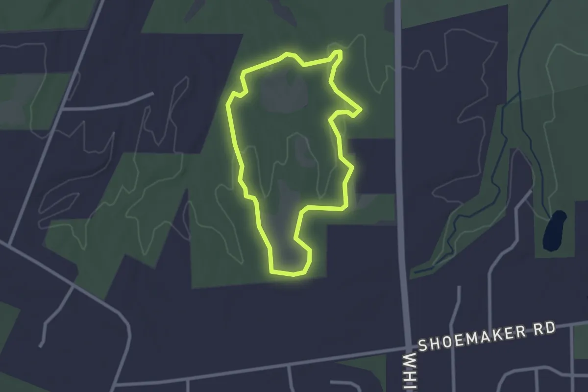
Royal Coach Loop
2.0 km · ↑ 46 m · 36 min · 15 km away
Easy · Trail
Orange Trail
2.3 km · ↑ 27 m · 37 min · 15 km away