Trails near Sammamish
78 hikes starting within 15 km, nearest first.
Nearest first, page 2 of 2
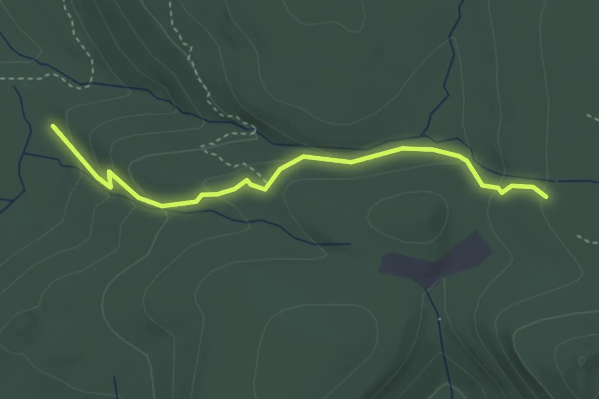
Easy · Trail
Quarry Trail
3.3 km · ↑ 171 m · 1 h 9 min · 10 km away
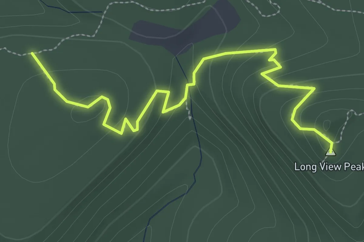
Easy · Summit
Deceiver Trail
3.4 km · ↑ 157 m · 1 h 9 min · 10 km away
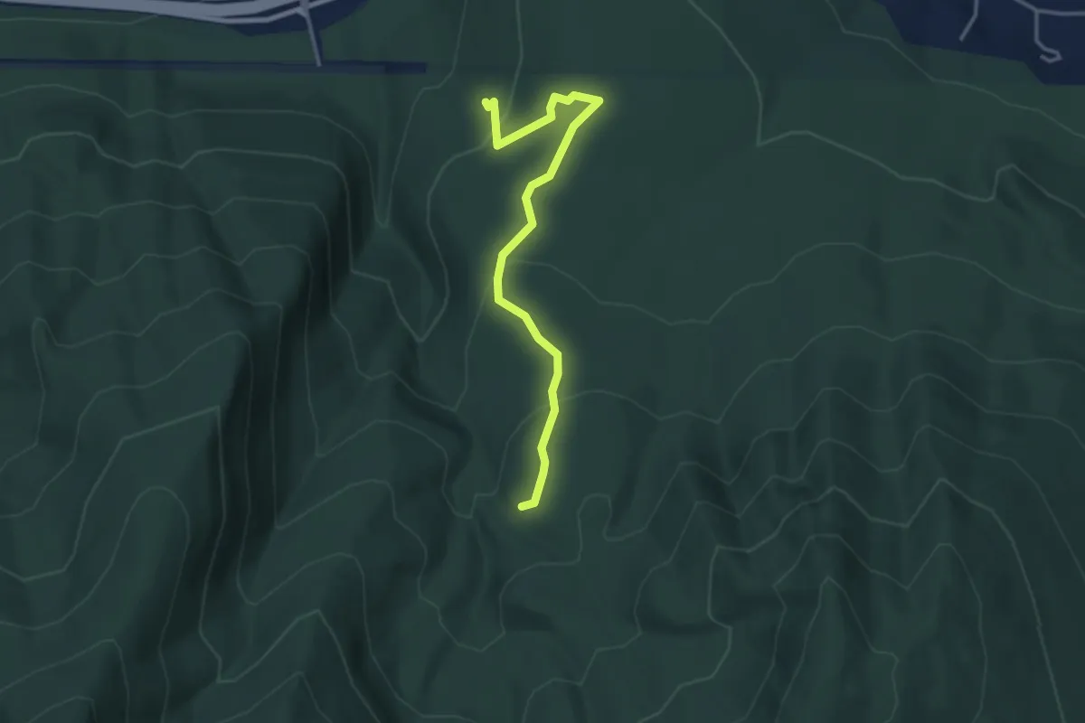
Easy · Trail
Lingering Trail
3.3 km · ↑ 168 m · 1 h 9 min · 10 km away
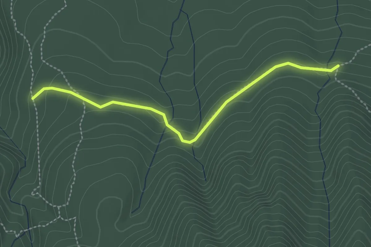
Easy · Trail
Dwight's Way Trail
2.5 km · ↑ 77 m · 45 min · 11 km away
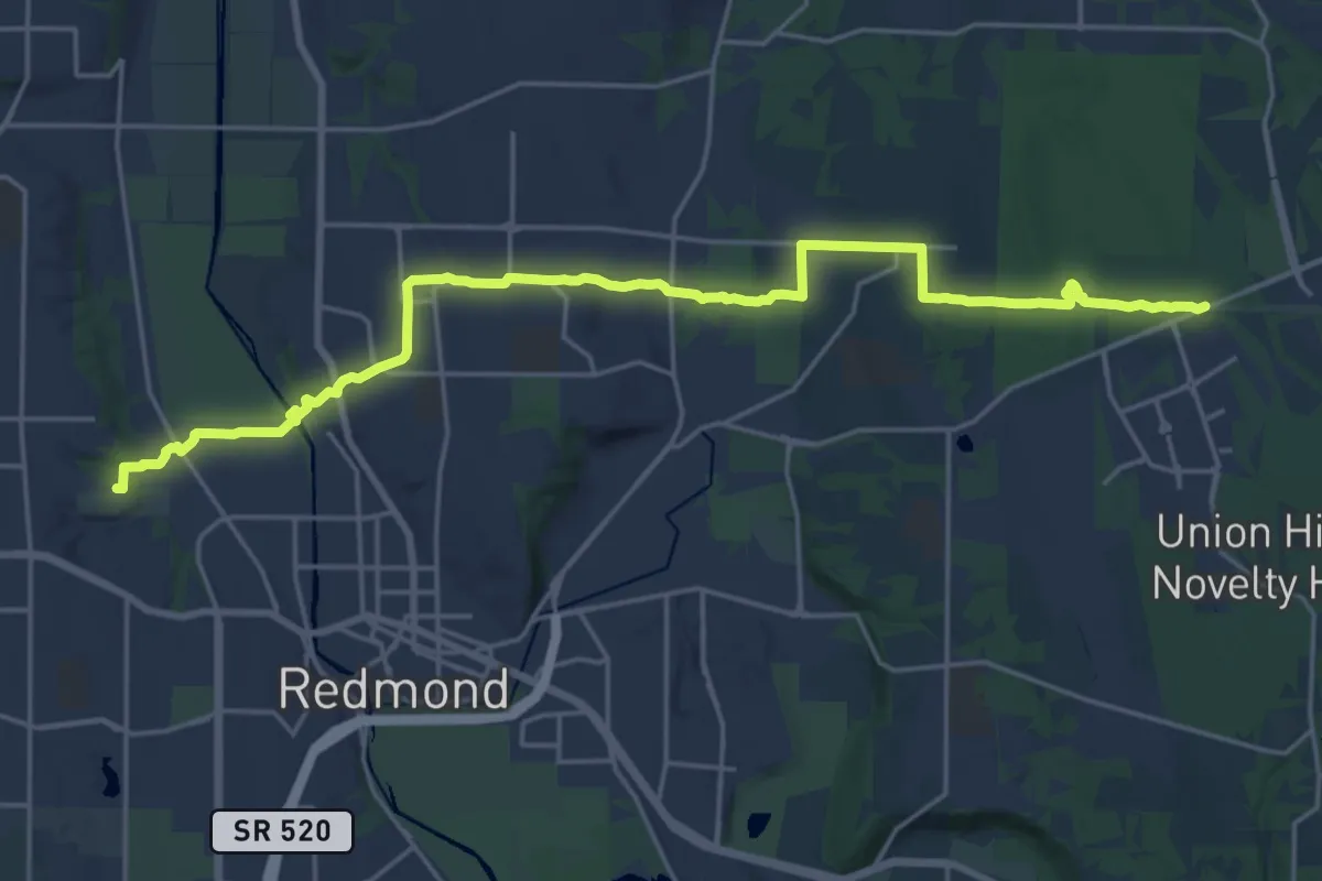
Demanding · Trail
PSE Trail
23.5 km · ↑ 403 m · 6 h 25 min · 11 km away
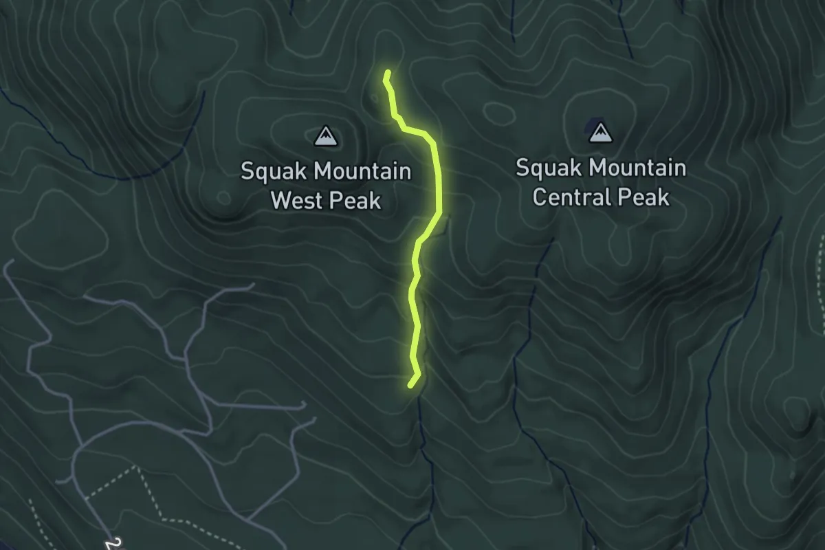
Easy · Trail
Bullit Gorge Trail
2.1 km · ↑ 145 m · 49 min · 11 km away
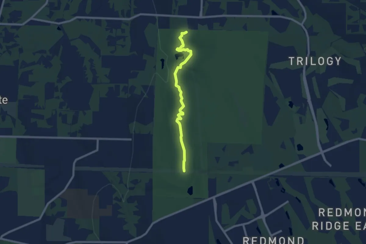
Easy · Trail
Trillium Trail
5.5 km · ↑ 113 m · 1 h 32 min · 11 km away
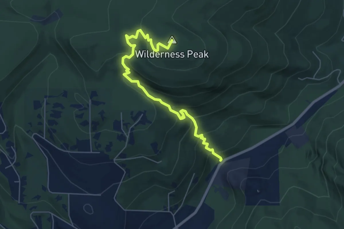
Medium · Summit
Whittaker Wilderness Peak Trail
6.0 km · ↑ 369 m · 2 h 12 min · 11 km away
Easy · Trail
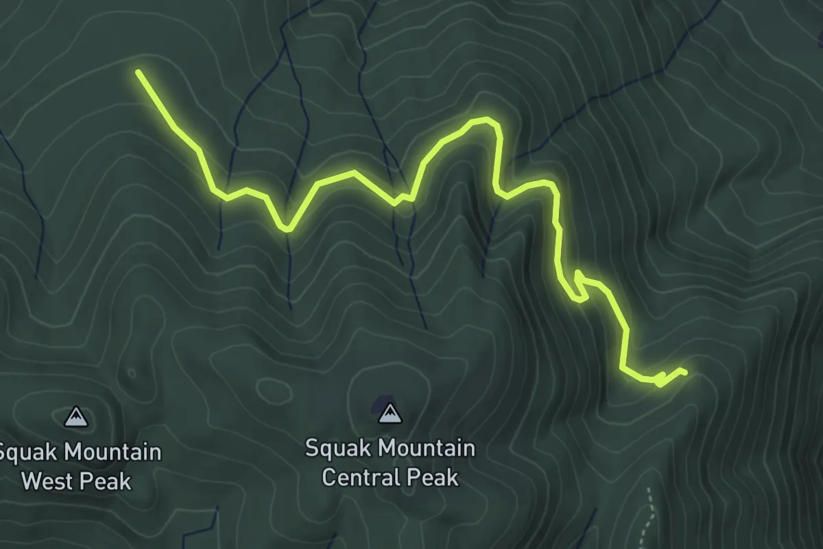
East Side Trail
5.5 km · ↑ 180 m · 1 h 41 min · 11 km away
Easy · Summit
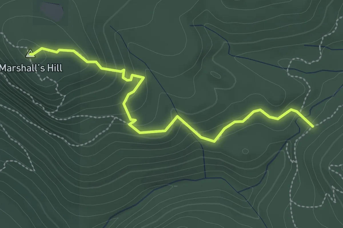
De Leo Wall Trail
2.9 km · ↑ 128 m · 58 min · 11 km away
Medium · Trail
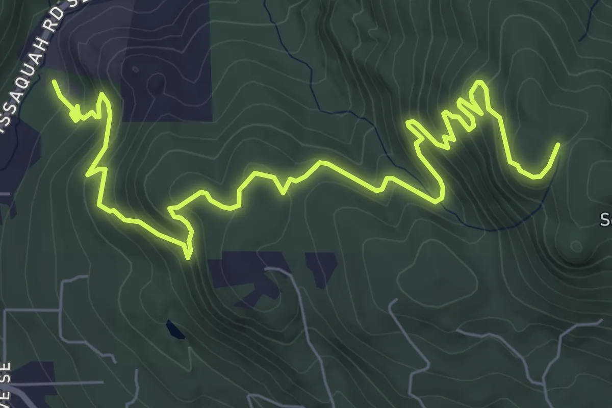
Margaret's Way Trail
9.2 km · ↑ 509 m · 3 h 16 min · 11 km away
Easy · Trail
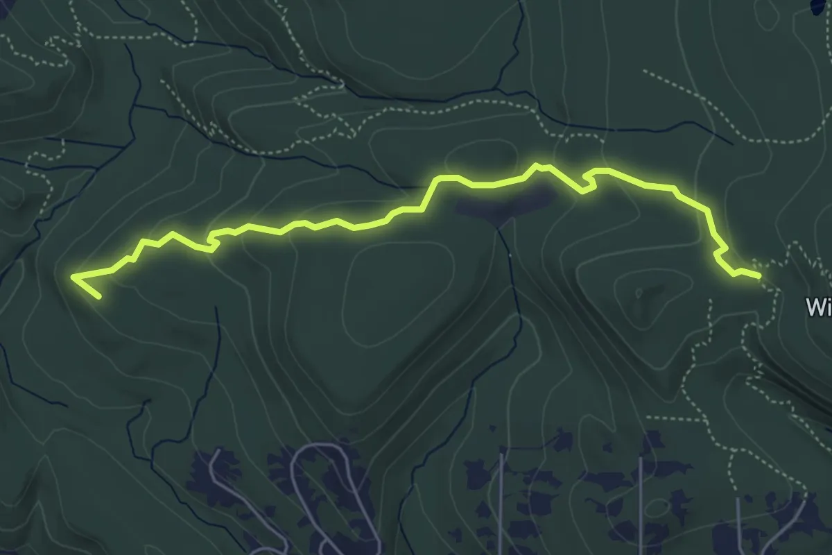
Shy Bear Trail
5.4 km · ↑ 186 m · 1 h 41 min · 11 km away
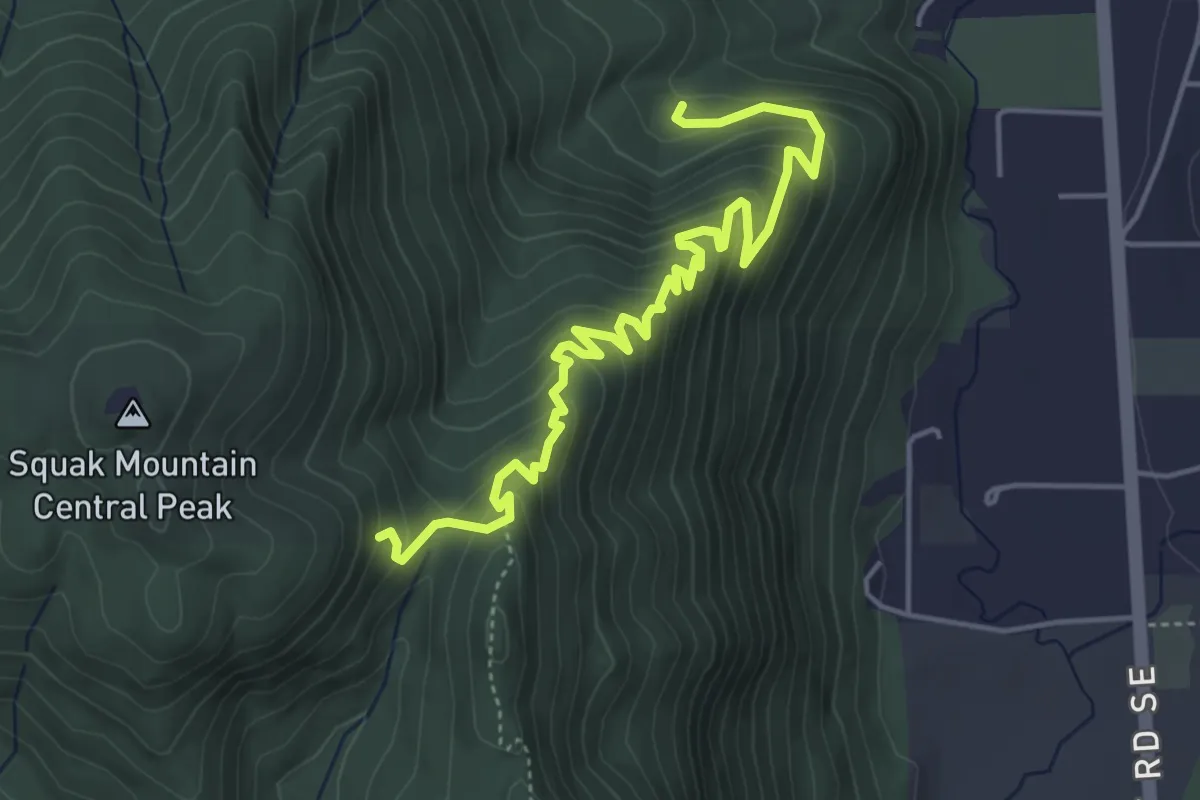
Medium · Trail
East Ridge Trail
5.3 km · ↑ 328 m · 1 h 58 min · 11 km away
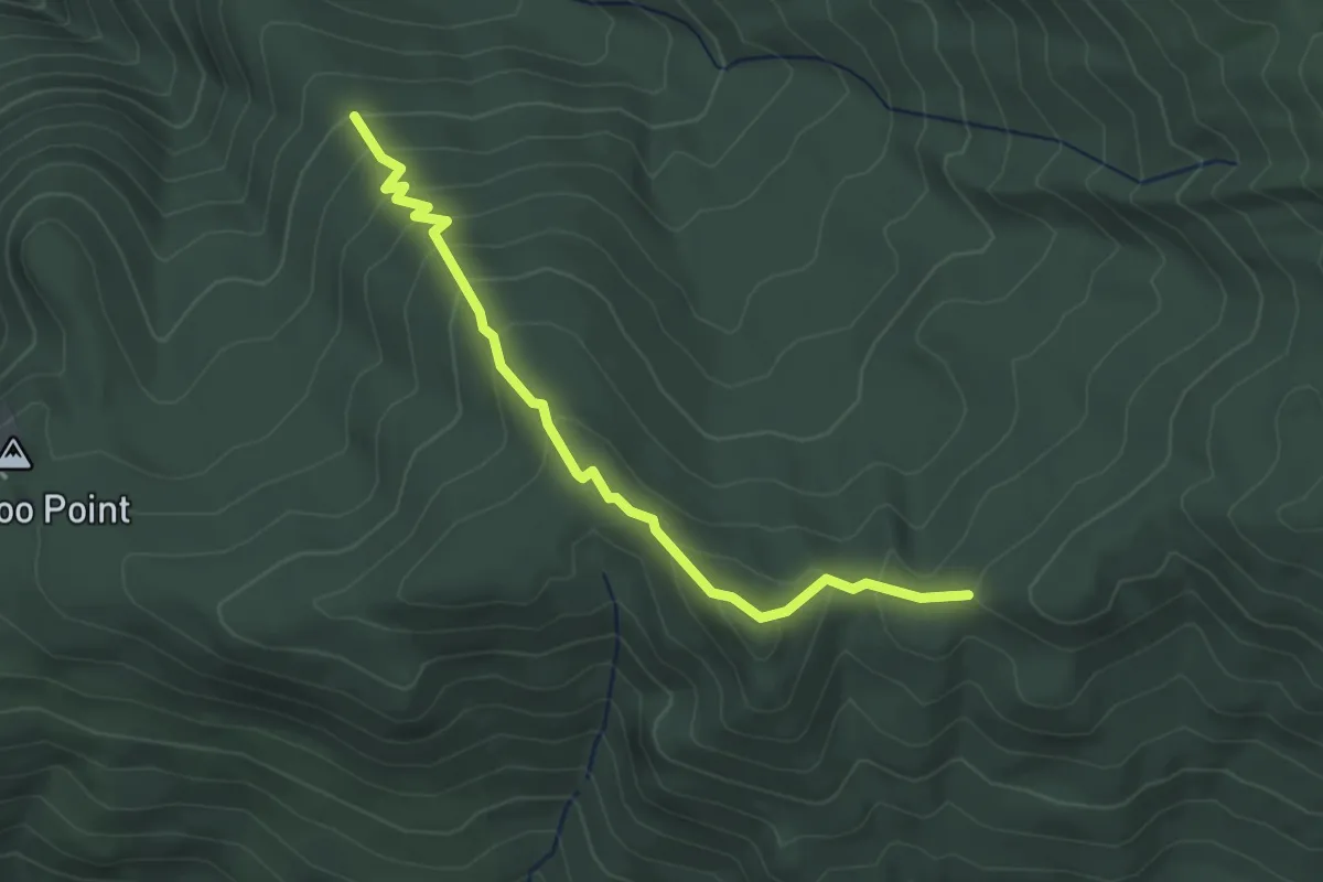
Easy · Trail
One View Trail
3.0 km · ↑ 237 m · 1 h 13 min · 11 km away
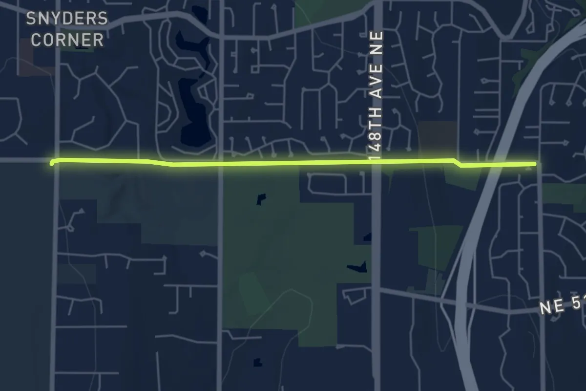
Easy · Trail
Bridle Crest Trail
4.7 km · ↑ 73 m · 1 h 17 min · 11 km away
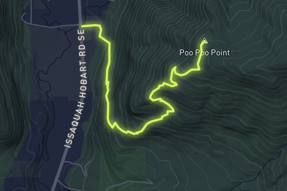
Medium · Summit
Chirico Trail
6.3 km · ↑ 504 m · 2 h 35 min · 11 km away
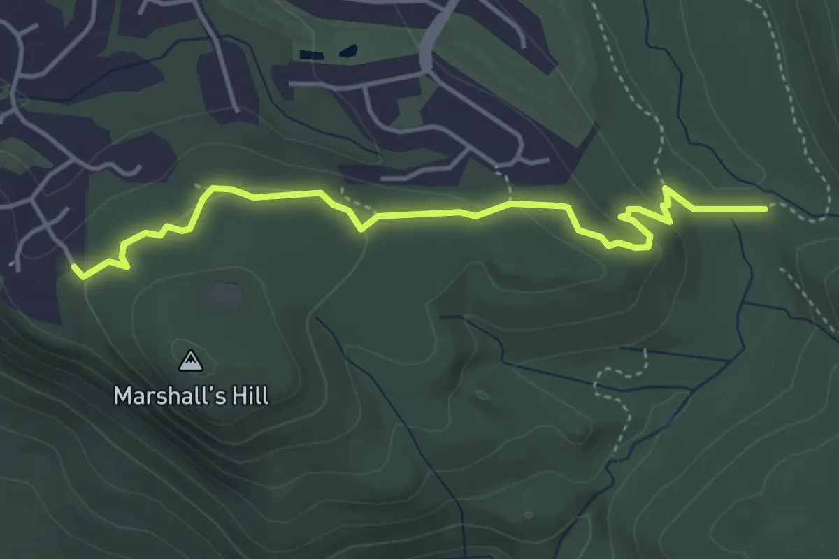
Easy · Trail
Marshall's Hill Trail
4.1 km · ↑ 112 m · 1 h 13 min · 11 km away
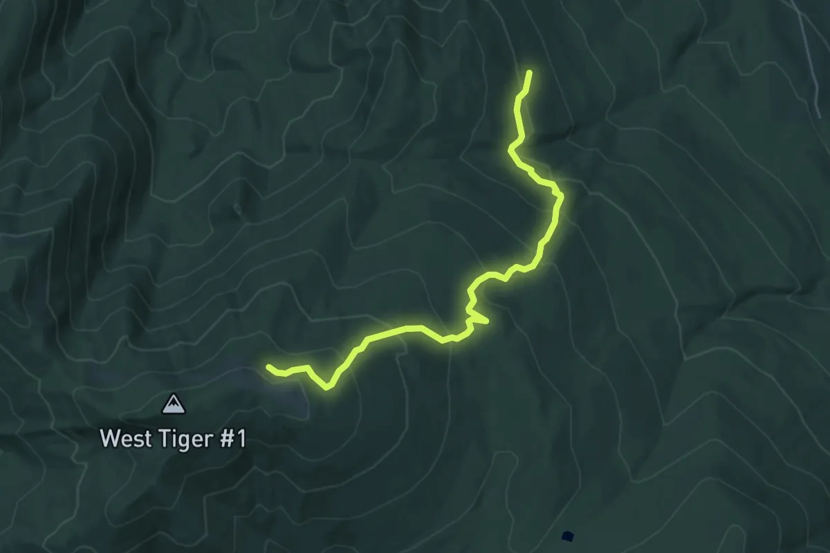
Medium · Trail
Bootleg Trail
5.5 km · ↑ 371 m · 2 h 6 min · 11 km away
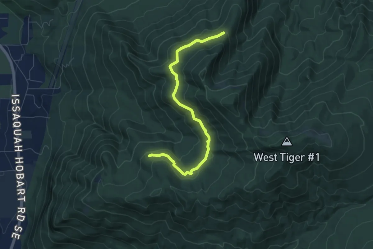
Easy · Trail
West Tiger RR Grade
6.8 km · ↑ 115 m · 1 h 52 min · 11 km away
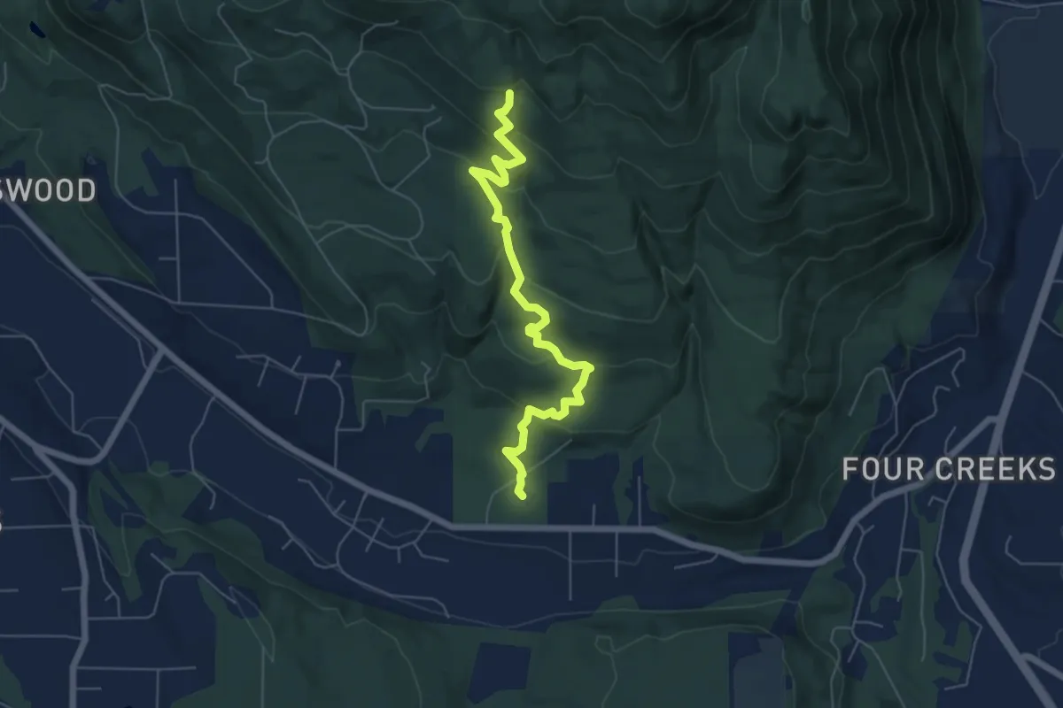
Easy · Trail
May Valley Loop
5.9 km · ↑ 296 m · 2 h 3 min · 12 km away
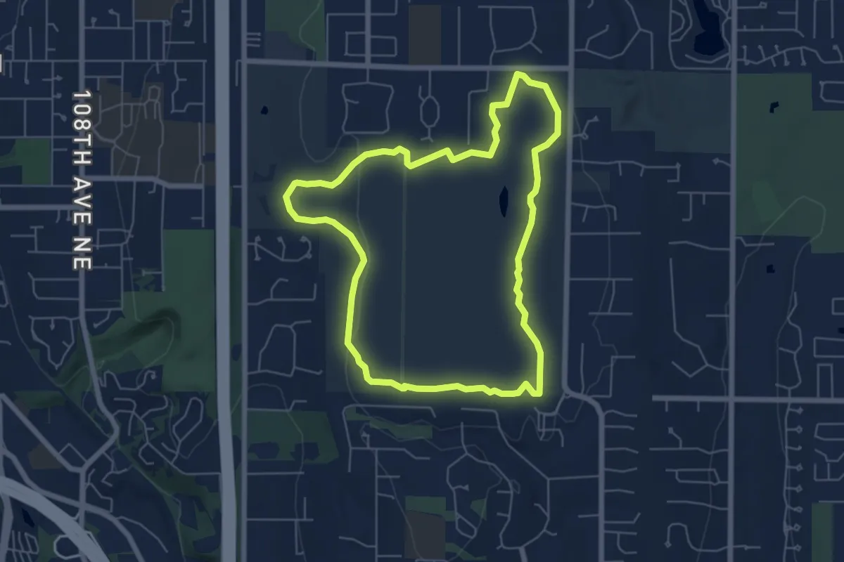
Easy · Trail
Coyote Trail
5.6 km · ↑ 54 m · 1 h 32 min · 12 km away
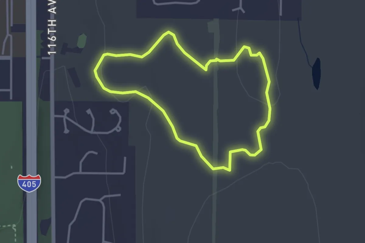
Easy · Trail
Trillium Trail
2.7 km · ↑ 23 m · 44 min · 12 km away
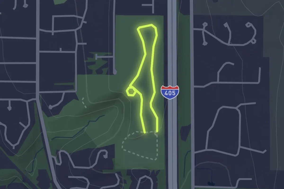
Easy · Trail
Loop 1
1.4 km · ↑ 18 m · 23 min · 12 km away
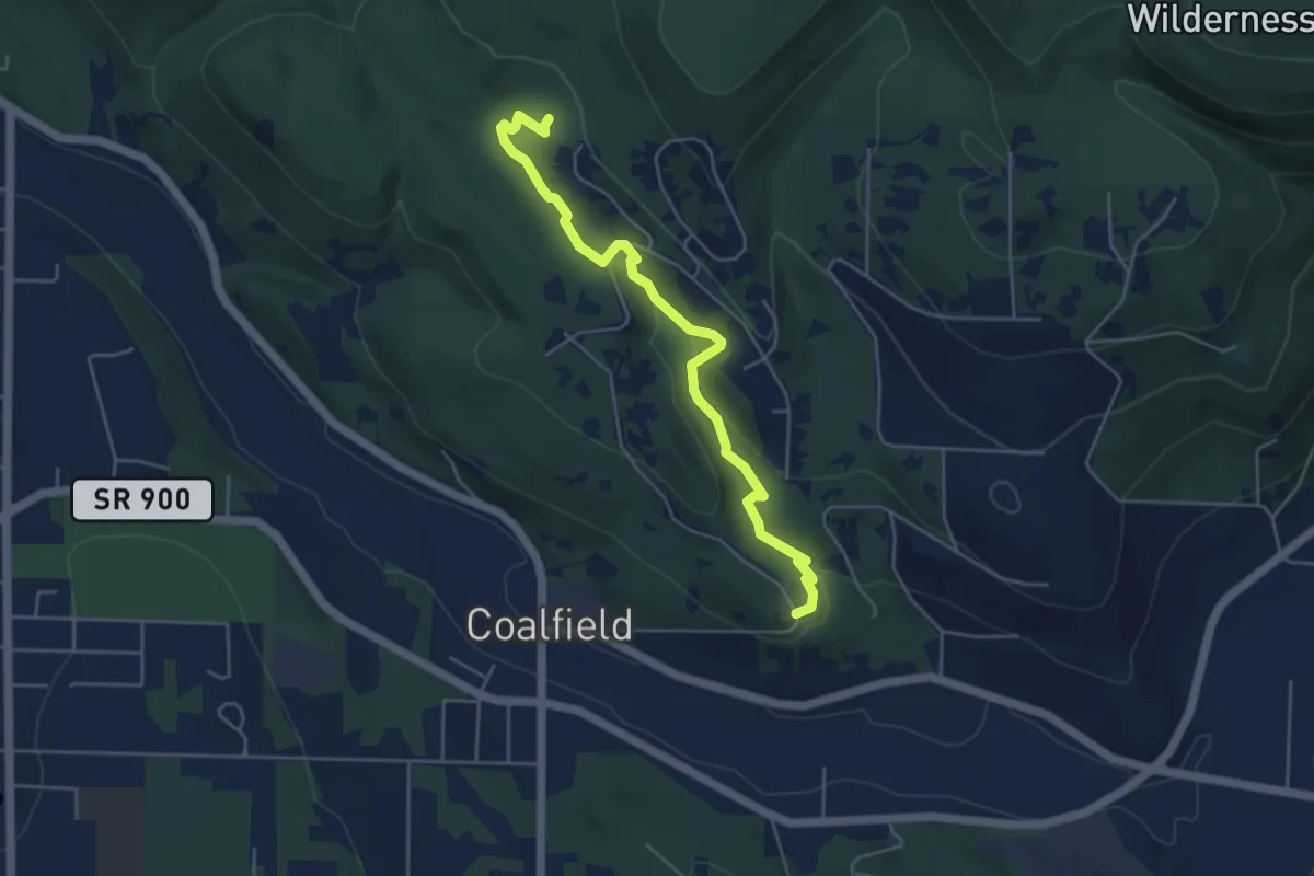
Easy · Trail
Licorice Fern Trail
4.9 km · ↑ 156 m · 1 h 30 min · 12 km away
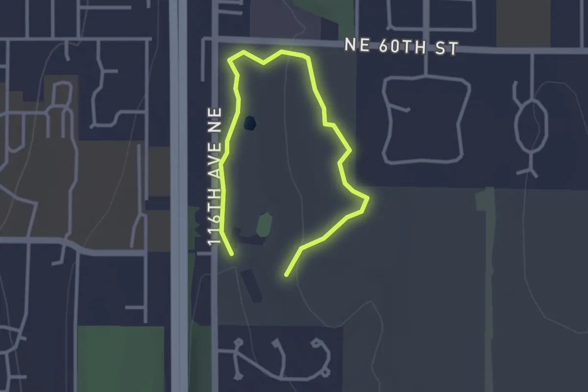
Easy · Trail
Raven Trail
3.3 km · ↑ 54 m · 54 min · 12 km away
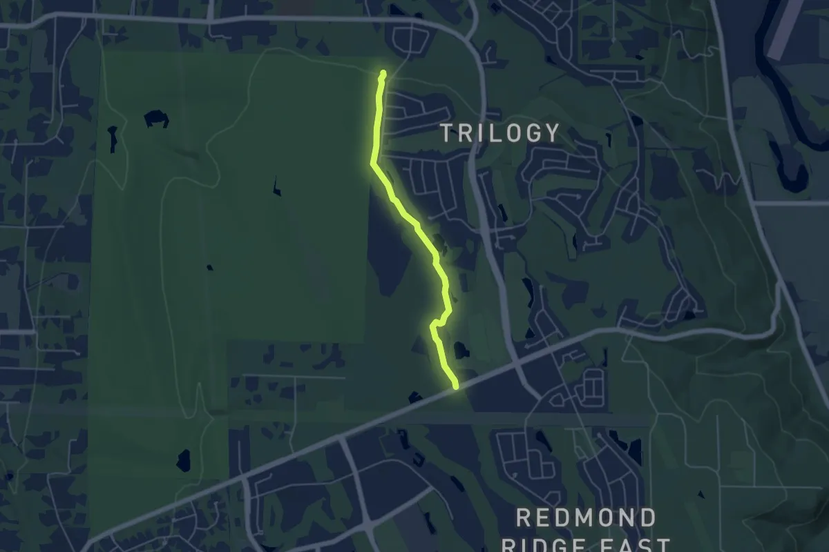
Easy · Trail
Kari's Bog Trail
4.1 km · ↑ 35 m · 1 h 3 min · 13 km away
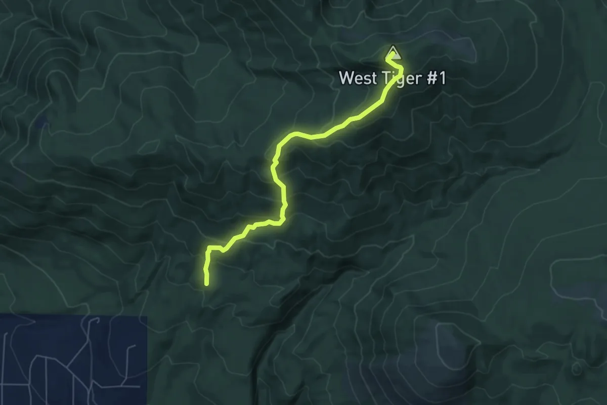
Medium · Summit
Poo Top Trail
5.5 km · ↑ 474 m · 2 h 20 min · 13 km away
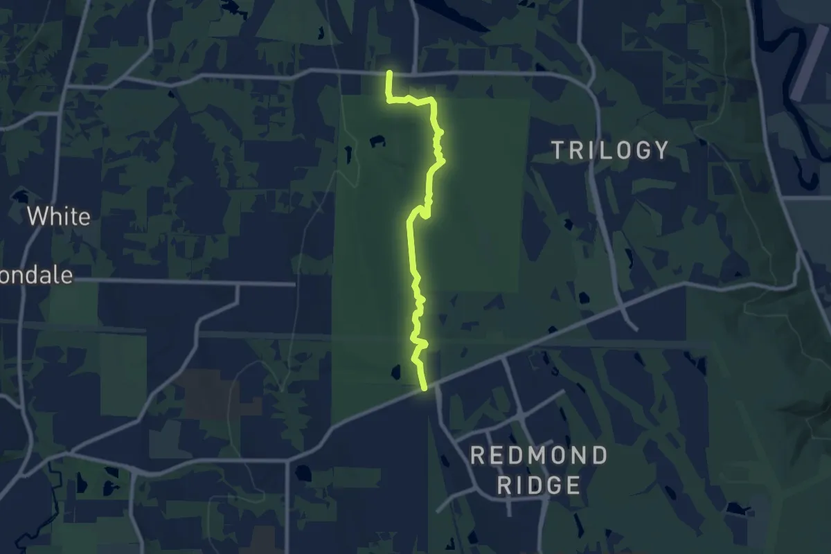
Easy · Trail
Pipeline Regional Trail
7.5 km · ↑ 58 m · 1 h 53 min · 13 km away
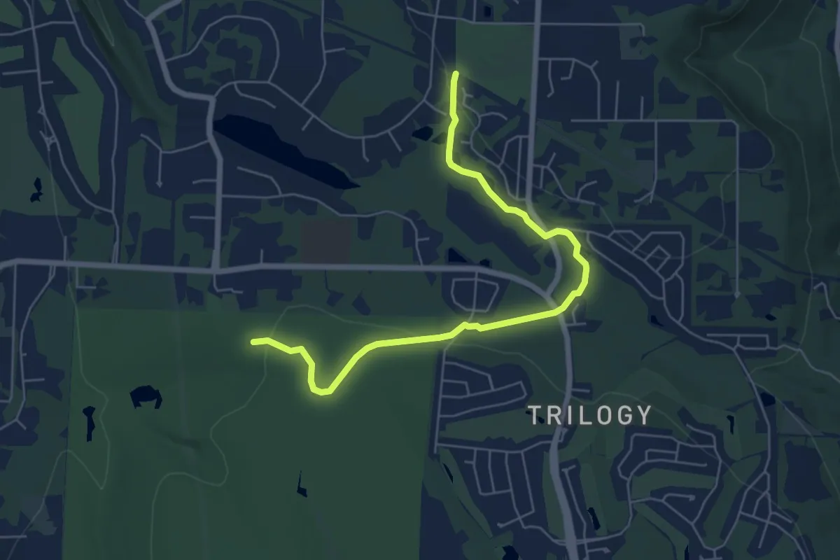
Easy · Trail
Collin Creek Trail
6.3 km · ↑ 78 m · 1 h 40 min · 14 km away
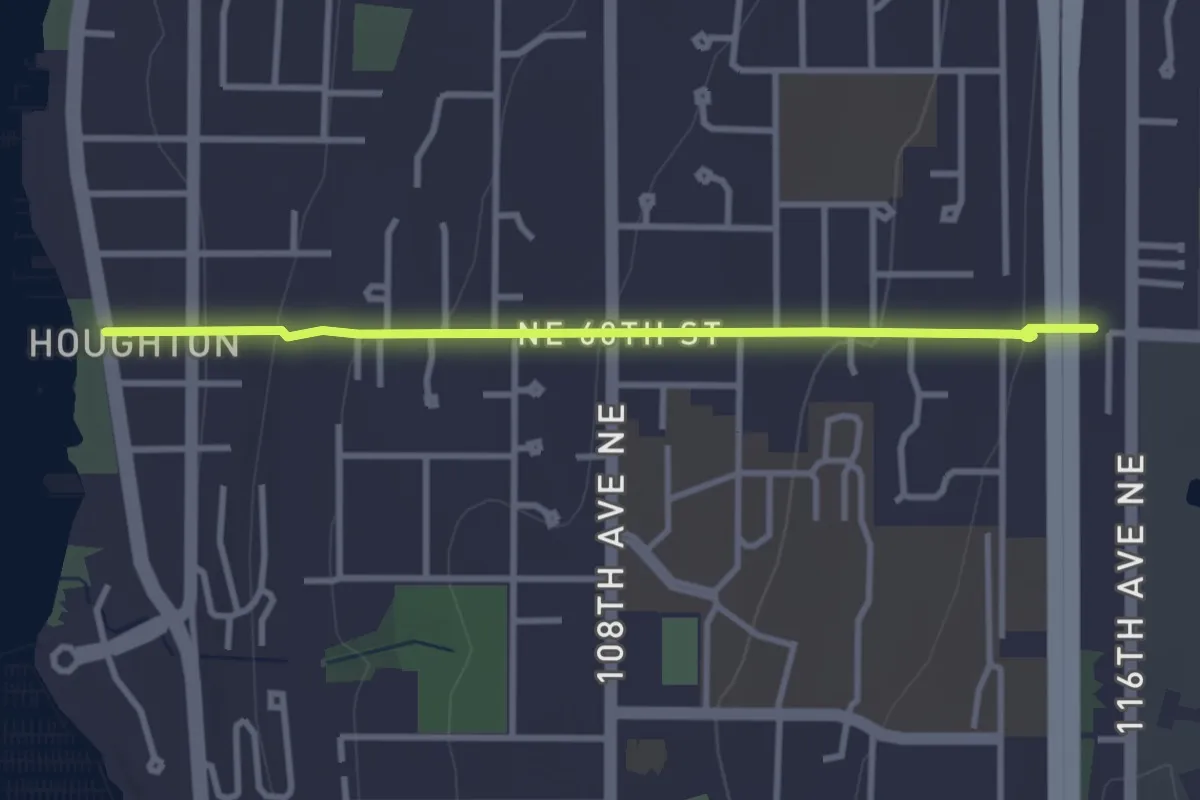
Easy · Trail
Interlake Trail
3.1 km · ↑ 121 m · 1 h · 14 km away