Trails near San Rafael
28 hikes starting within 15 km, nearest first.
Nearest first
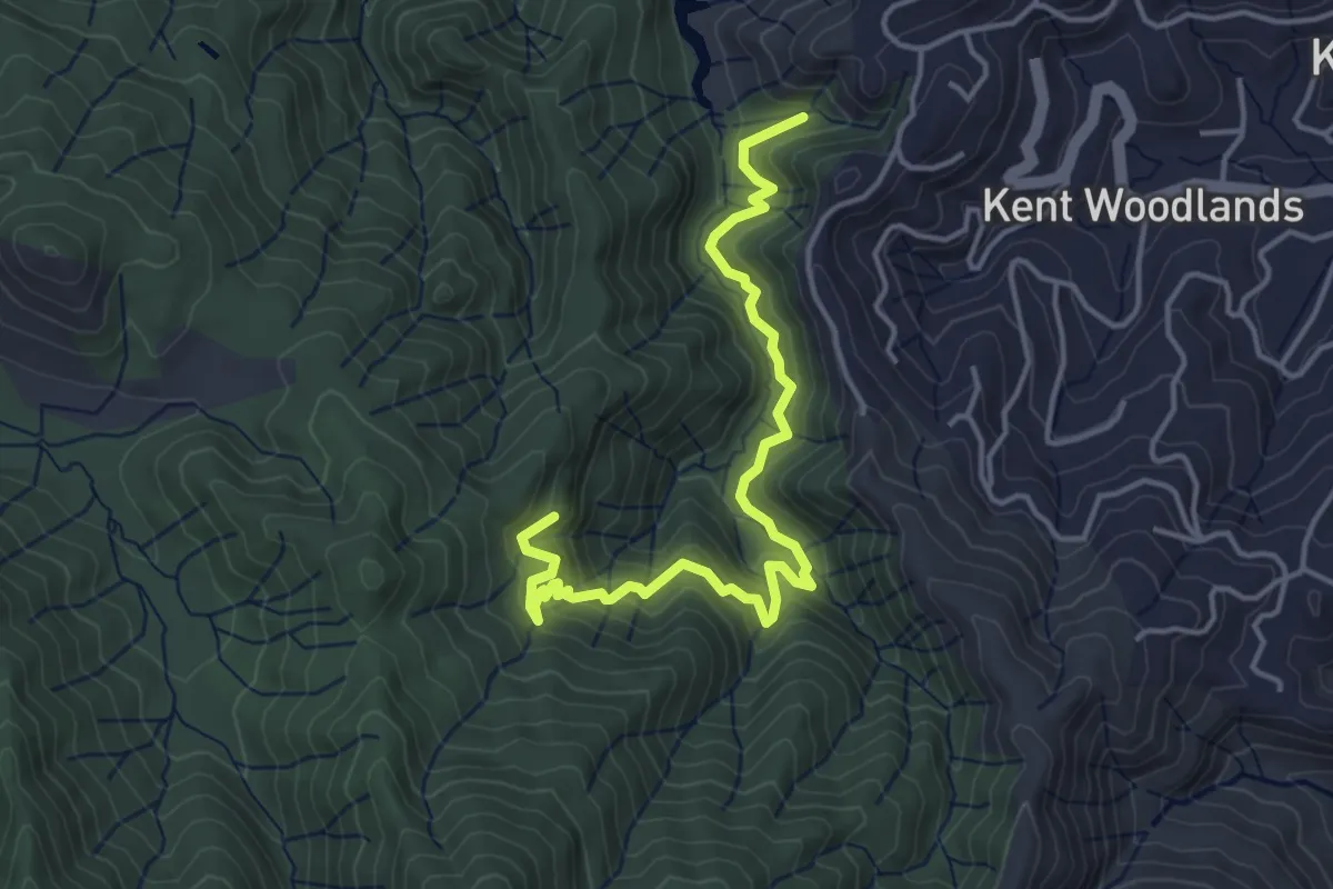
Medium · Trail
Tucker Trail
5.2 km · ↑ 359 m · 2 h · 4 km away
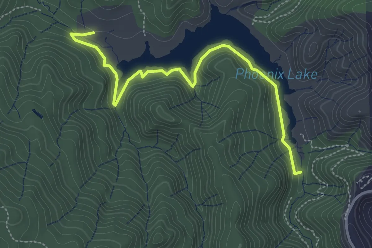
Easy · Trail
Gertrude Ord Trail
3.6 km · ↑ 32 m · 55 min · 5 km away
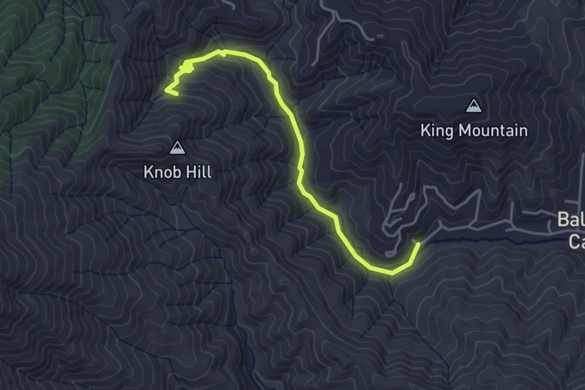
Easy · Trail
Dawn Falls Trail
4.3 km · ↑ 195 m · 1 h 26 min · 5 km away
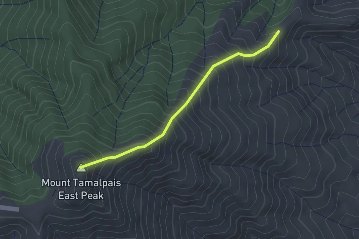
Medium · Summit
Indian Fire Trail
2.3 km · ↑ 411 m · 1 h 25 min · 5 km away
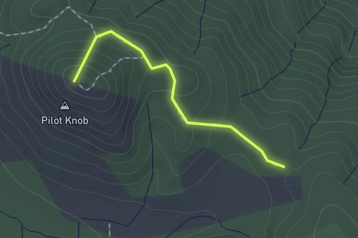
Easy · Summit
Pilot Knob Trail
1.4 km · ↑ 93 m · 33 min · 5 km away
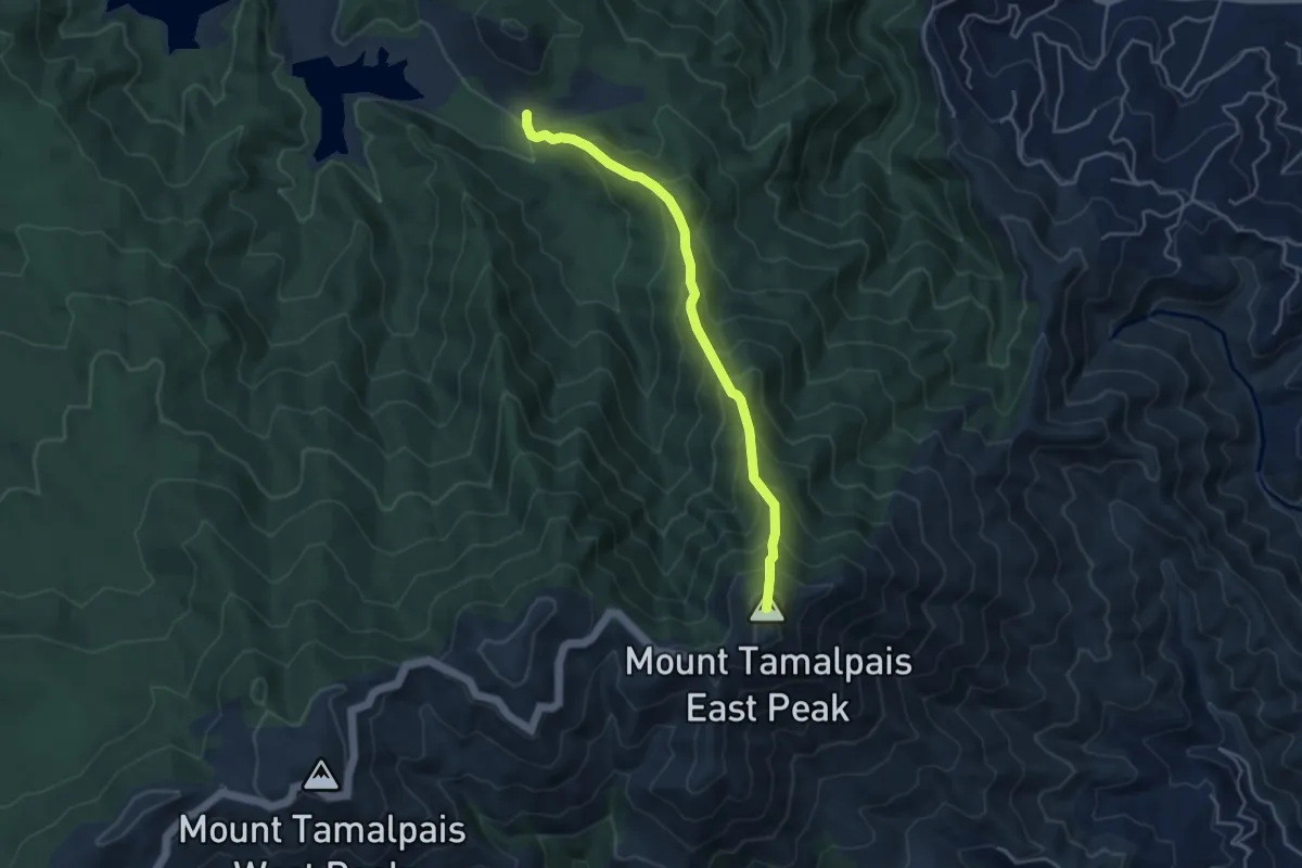
Medium · Summit
East Peak Fire Trail
4.6 km · ↑ 543 m · 2 h 16 min · 6 km away
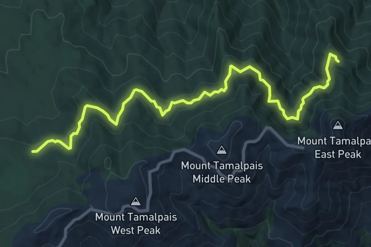
Medium · Trail
Northside Trail
8.6 km · ↑ 232 m · 2 h 32 min · 6 km away
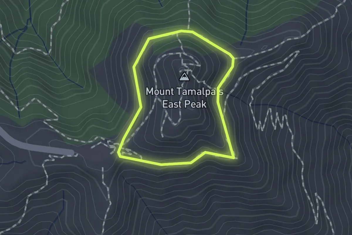
Easy · Summit
Verna Dunshee Trail
1.1 km · ↑ 22 m · 19 min · 6 km away
Medium · Summit
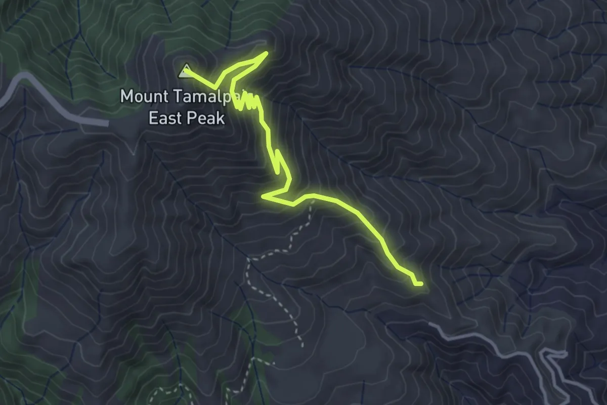
Temelpa Trail
4.3 km · ↑ 429 m · 1 h 57 min · 7 km away
Medium · Trail
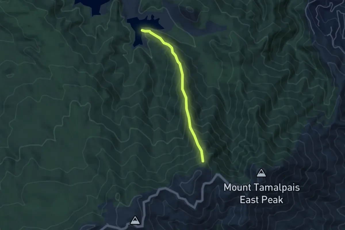
Lagunitas Fire Trail
4.1 km · ↑ 458 m · 1 h 58 min · 7 km away
Medium · Trail
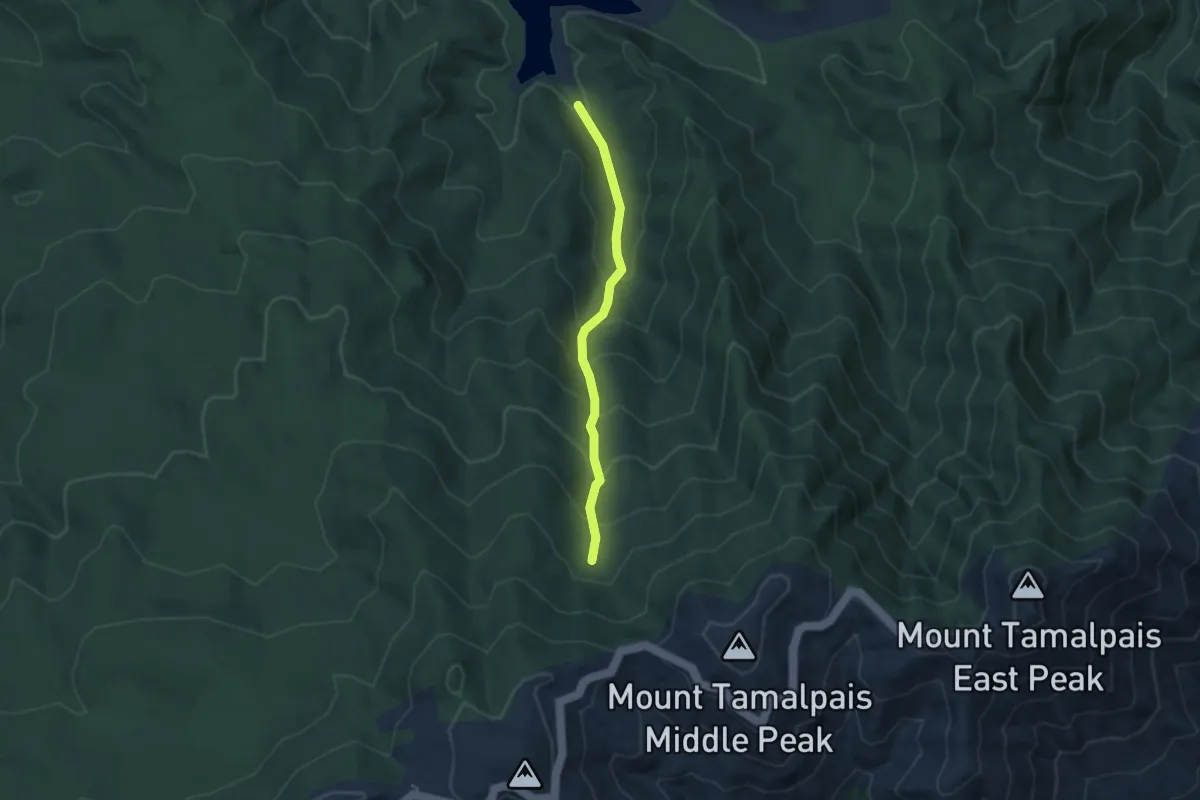
Collier Trail
3.2 km · ↑ 326 m · 1 h 28 min · 7 km away
Easy · Trail
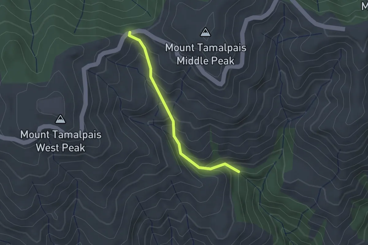
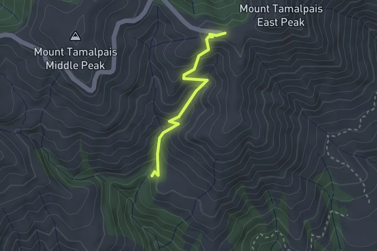
Miller Trail
2.0 km · ↑ 213 m · 56 min · 8 km away
Easy · Trail
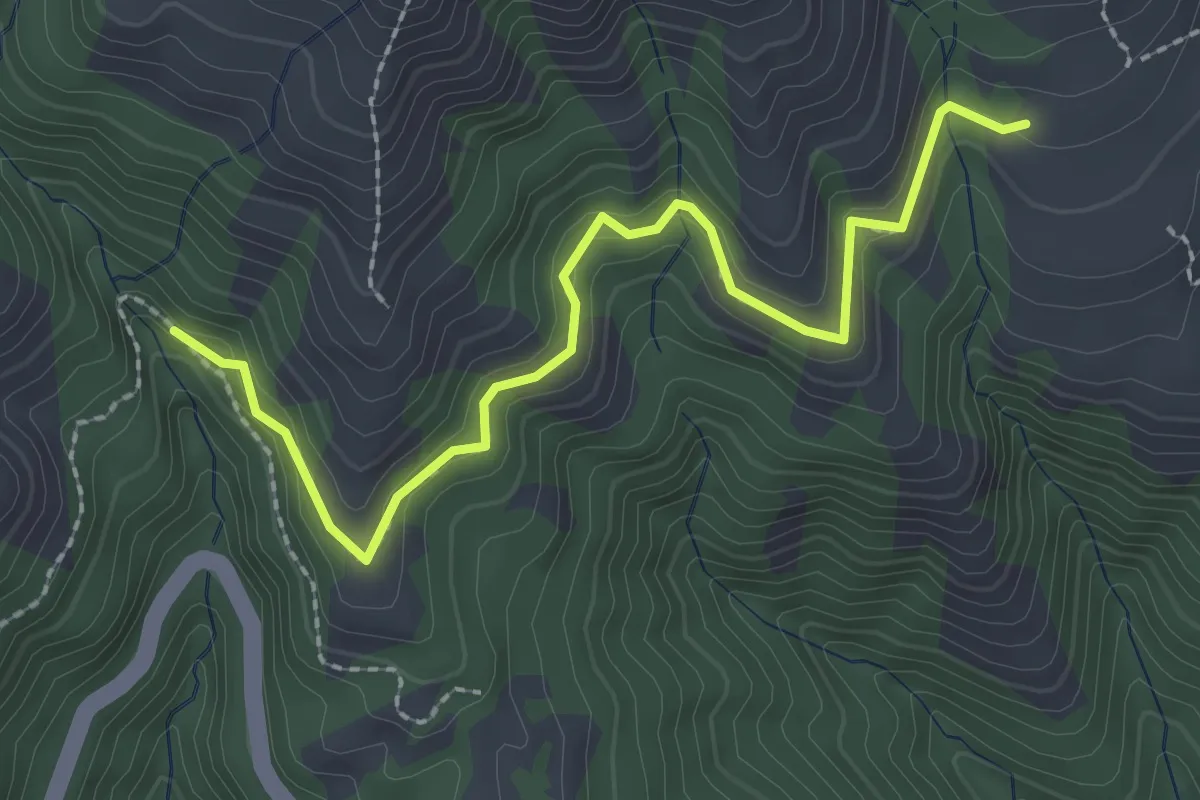
Fern Creek Trail
2.2 km · ↑ 232 m · 1 h 2 min · 8 km away
Easy · Trail
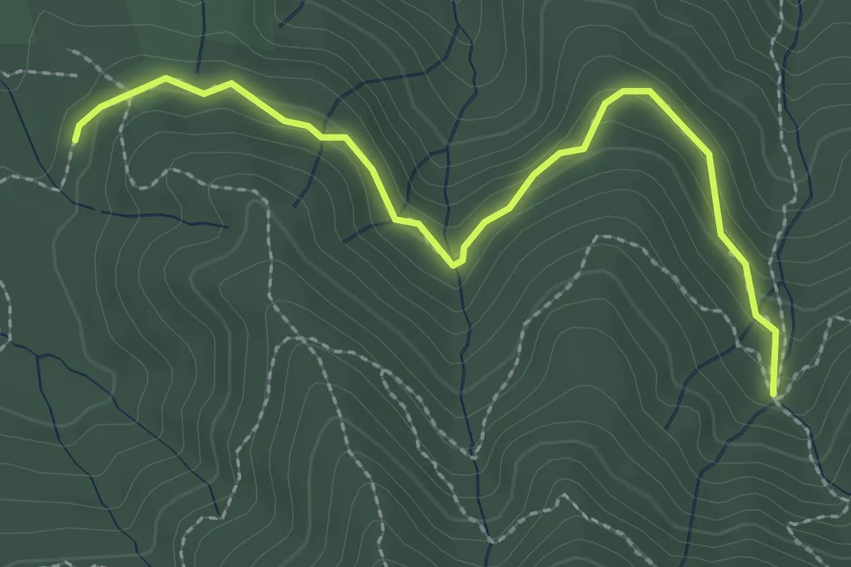
Hoo-Koo-E-Koo Trail
2.9 km · ↑ 77 m · 51 min · 8 km away
Easy · Trail
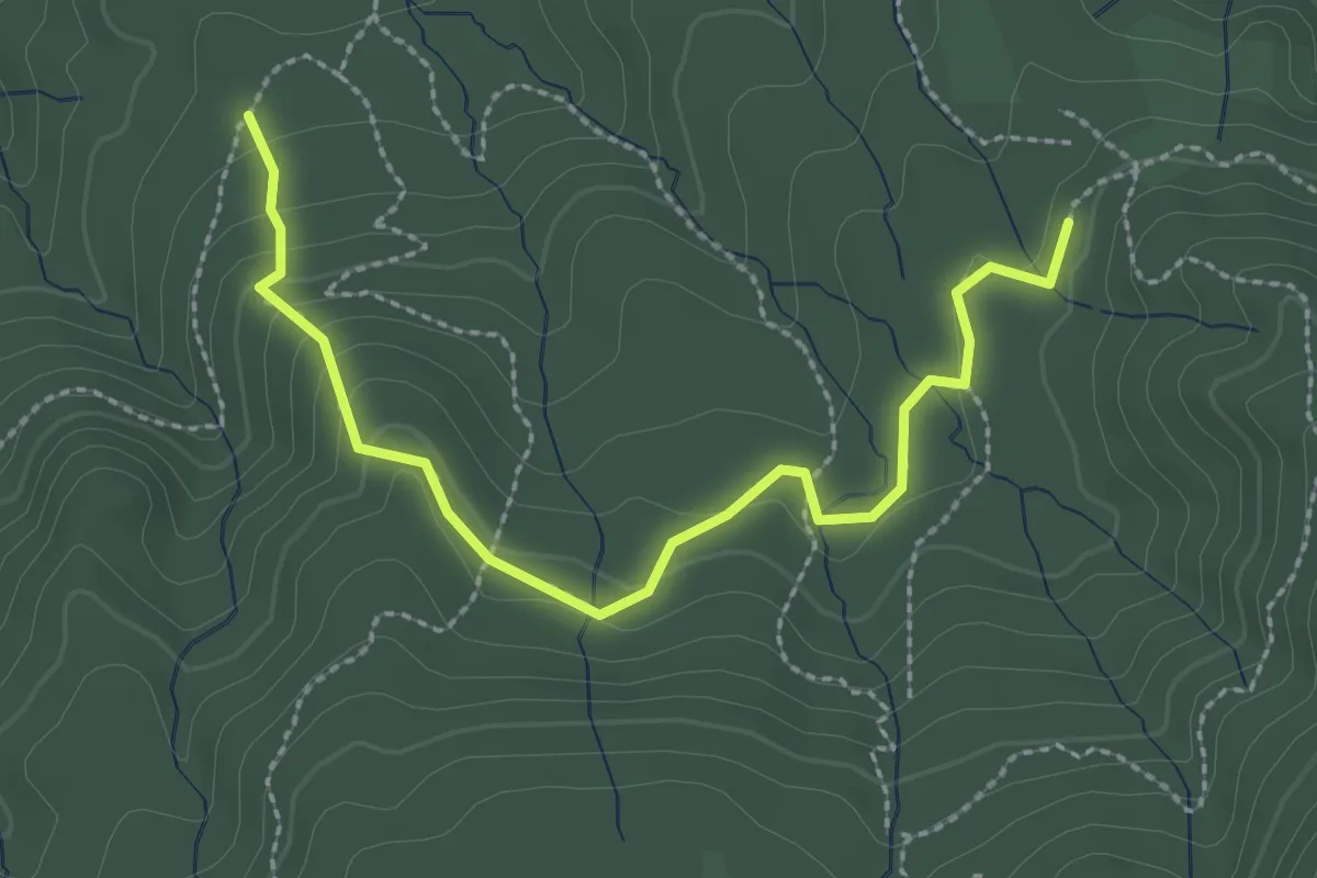
Lower Northside Trail
2.9 km · ↑ 81 m · 51 min · 8 km away
Easy · Trail
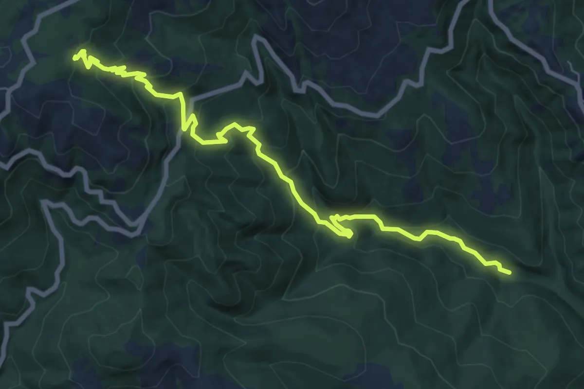
CC Boys Trail
3.1 km · ↑ 123 m · 1 h · 9 km away
Medium · Trail
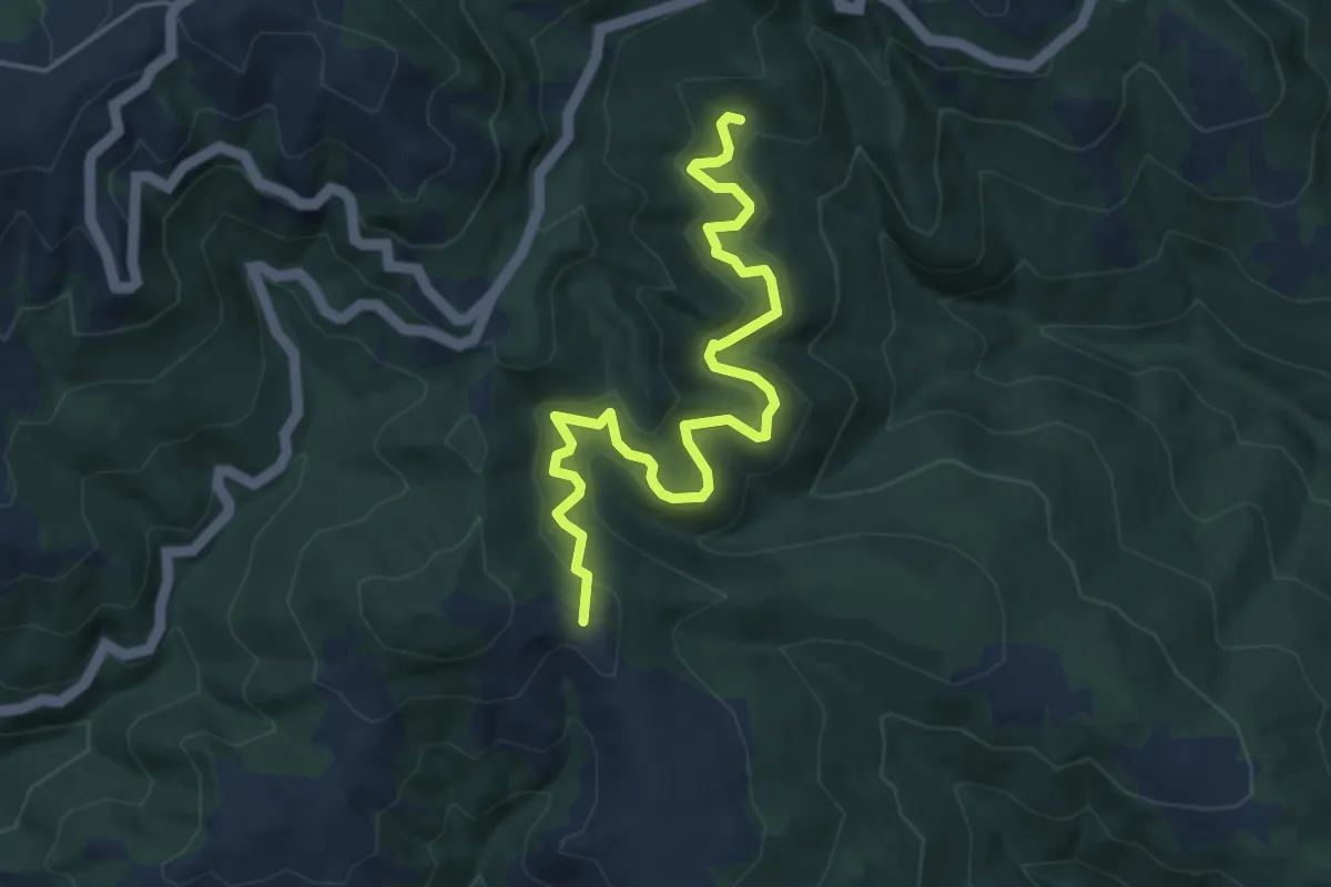
Bootjack Trail
8.3 km · ↑ 537 m · 3 h 8 min · 9 km away
Easy · Summit
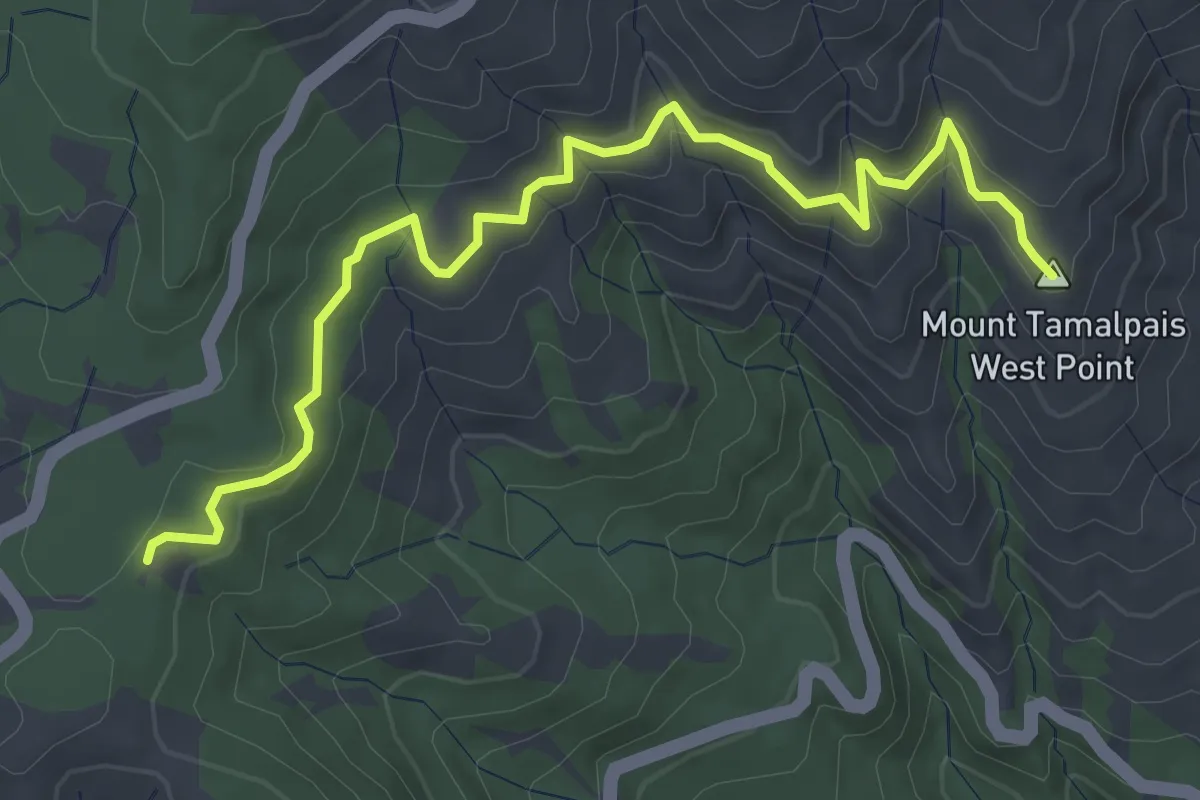
TCC Trail
5.7 km · ↑ 221 m · 1 h 49 min · 9 km away
Easy · Summit
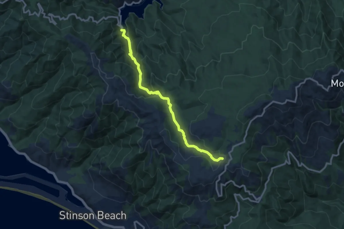
Rock Spring Trail
4.7 km · ↑ 100 m · 1 h 20 min · 10 km away
Medium · Trail
Cataract Trail
8.7 km · ↑ 412 m · 2 h 56 min · 10 km away
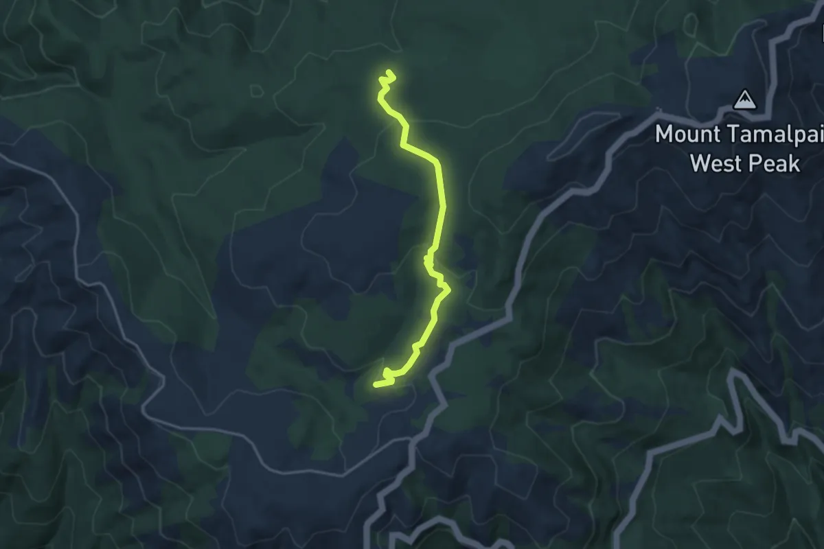
Easy · Trail
Benstein Trail
3.7 km · ↑ 162 m · 1 h 14 min · 10 km away
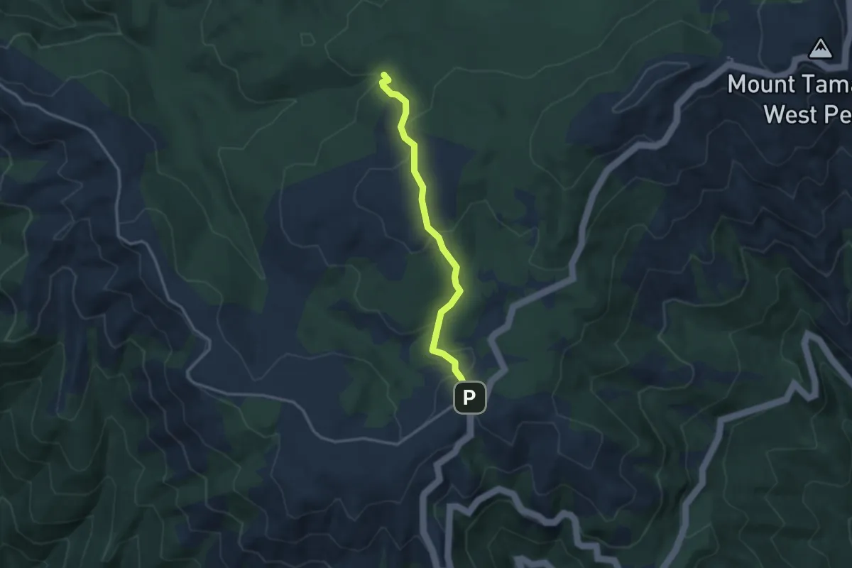
Easy · Trail
Simmons Trail
3.1 km · ↑ 156 m · 1 h 5 min · 10 km away
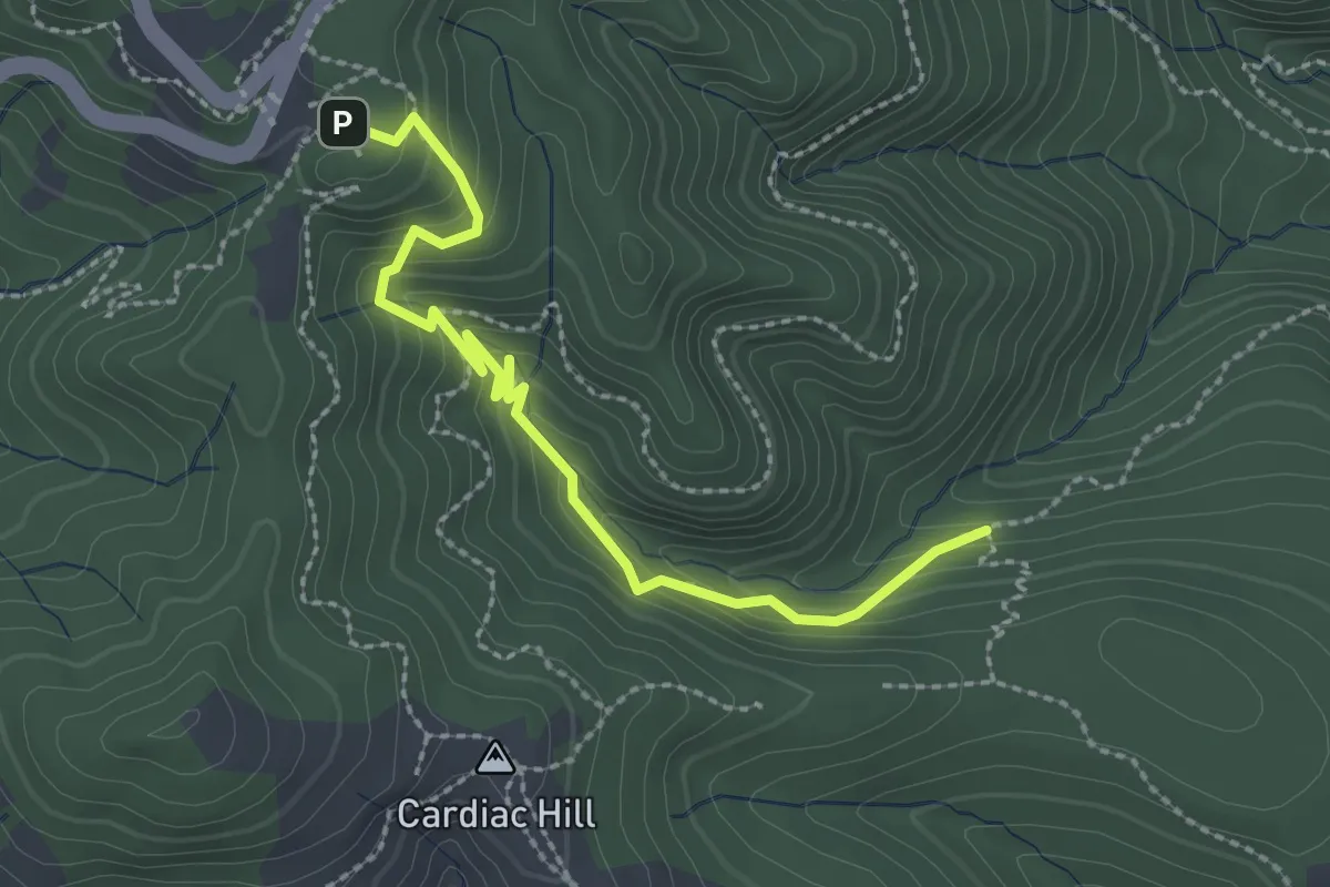
Easy · Trail
Stapleveldt Trail
3.0 km · ↑ 209 m · 1 h 9 min · 10 km away
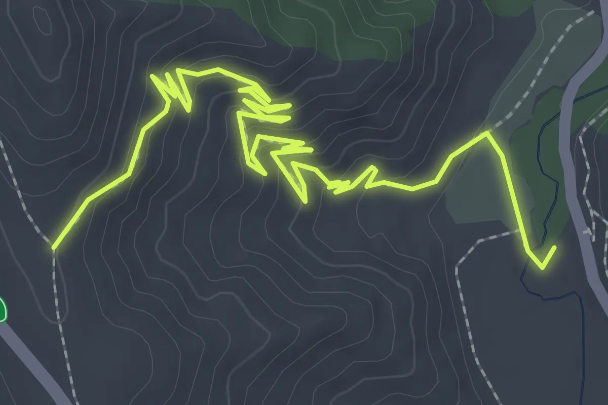
Easy · Trail
Heather Cutoff
4.1 km · ↑ 188 m · 1 h 22 min · 12 km away
Easy · Trail
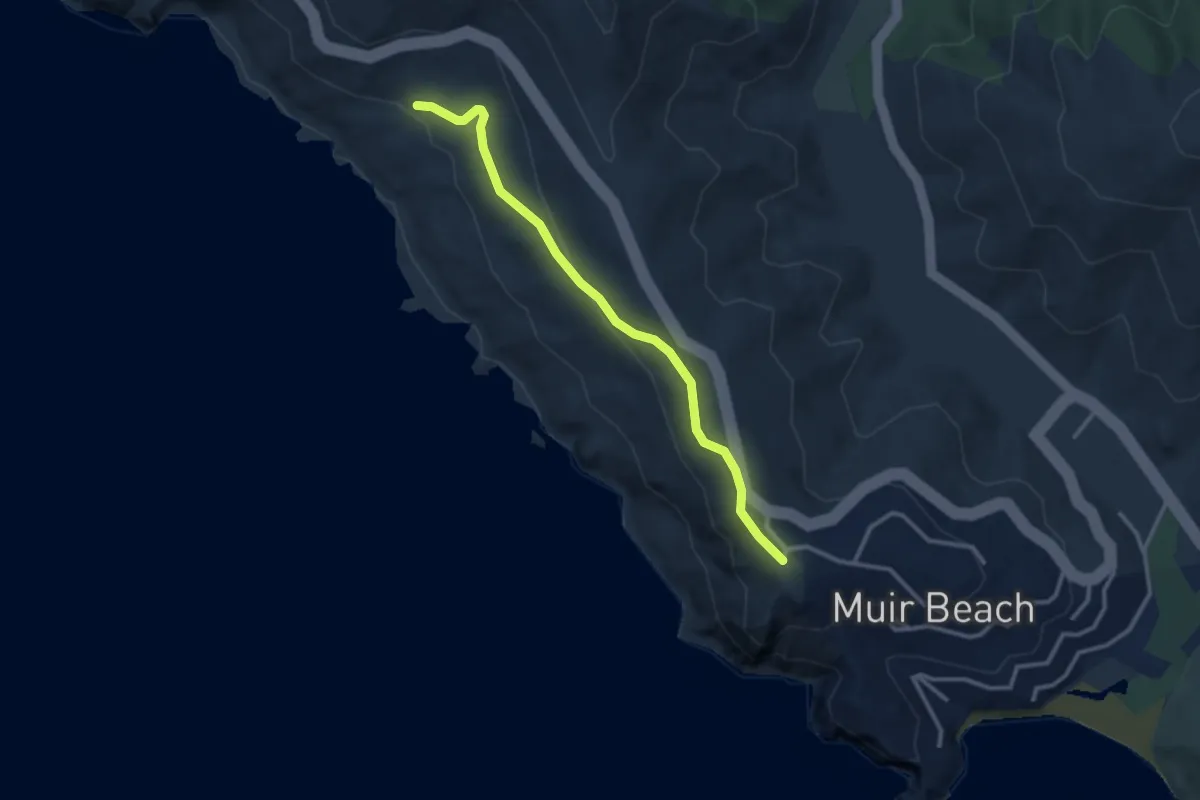
Owl Trail
3.3 km · ↑ 100 m · 1 h · 13 km away
Medium · Summit
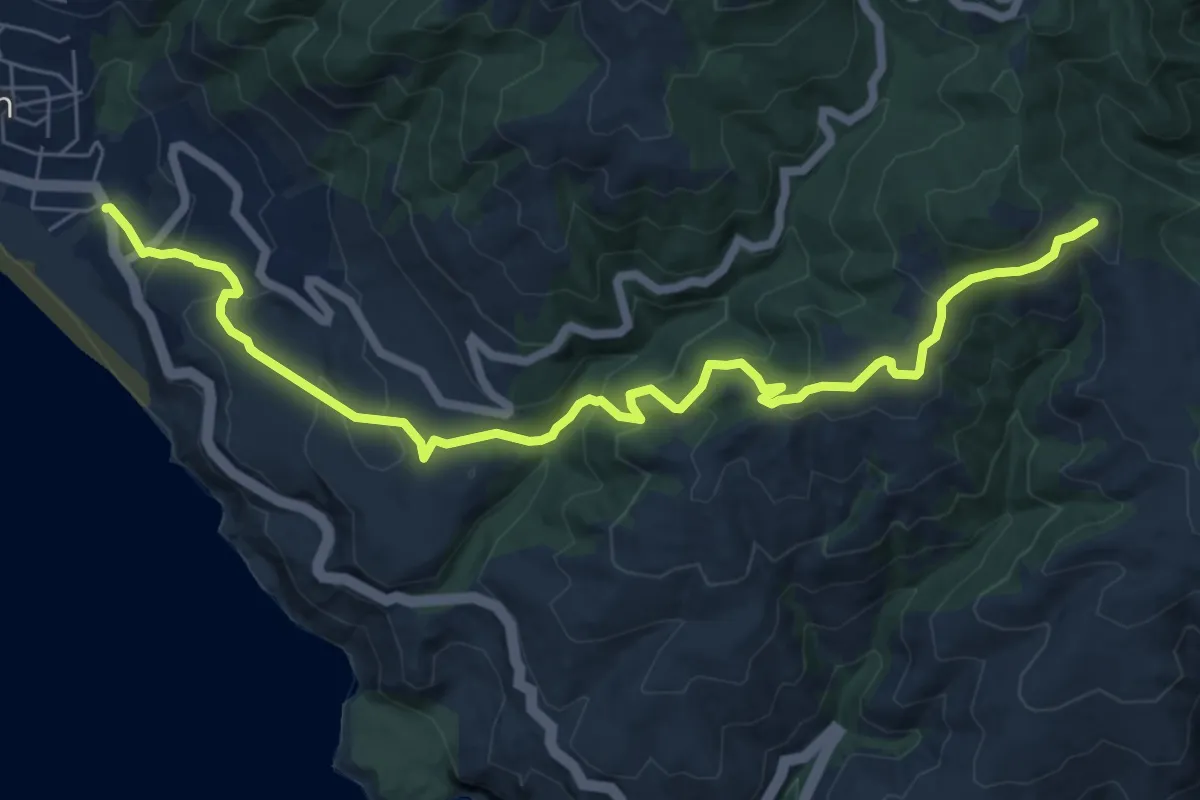
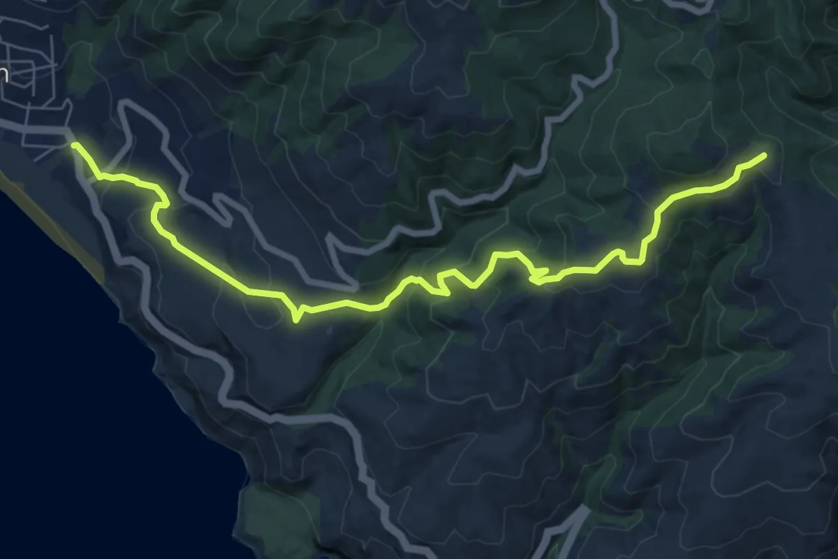
Dipsea Race route
9.0 km · ↑ 463 m · 3 h 7 min · 13 km away
Medium · Summit
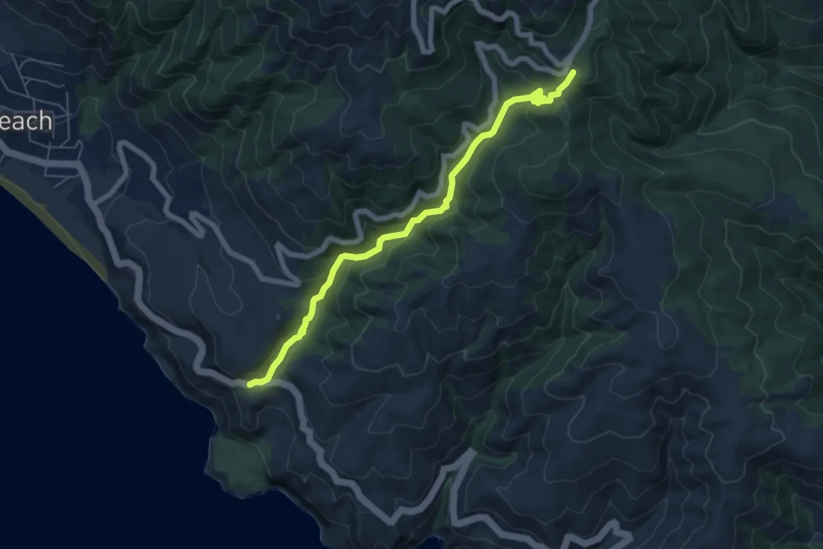
Dipsea Trail
9.0 km · ↑ 465 m · 3 h 8 min · 13 km away
Medium · Trail
Steep Ravine Trail
6.6 km · ↑ 347 m · 2 h 18 min · 13 km away