Trails near Sleepy Hollow
41 hikes starting within 15 km, nearest first.
Nearest first
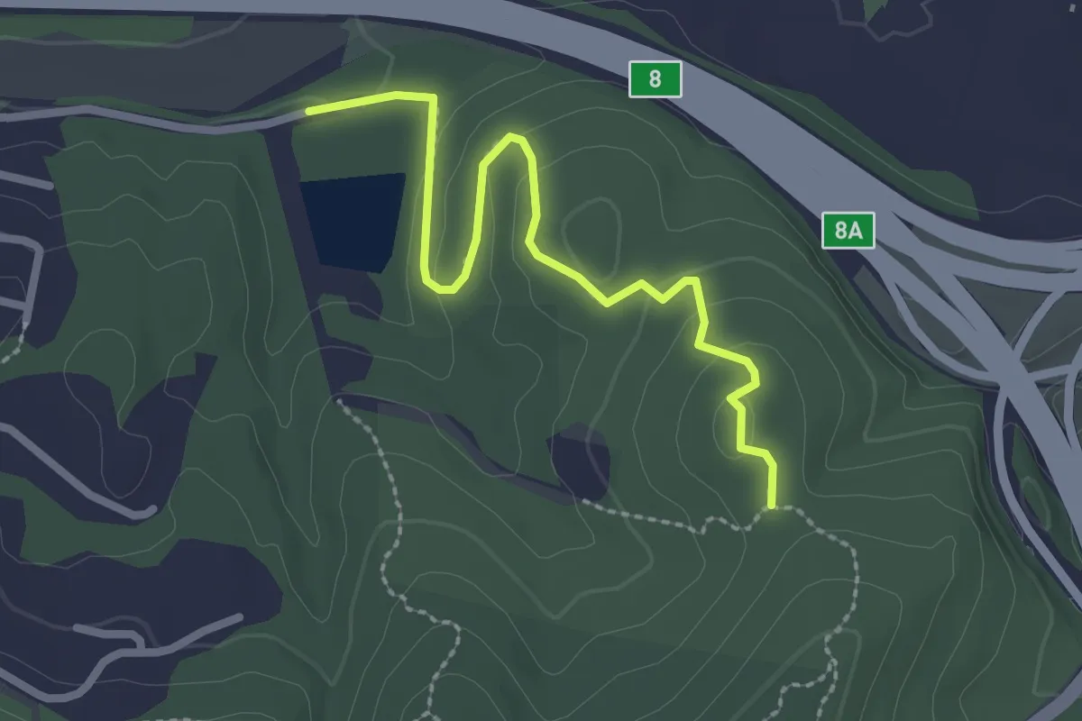
Easy · Trail
Orange Trail
2.8 km · ↑ 85 m · 51 min · 3 km away
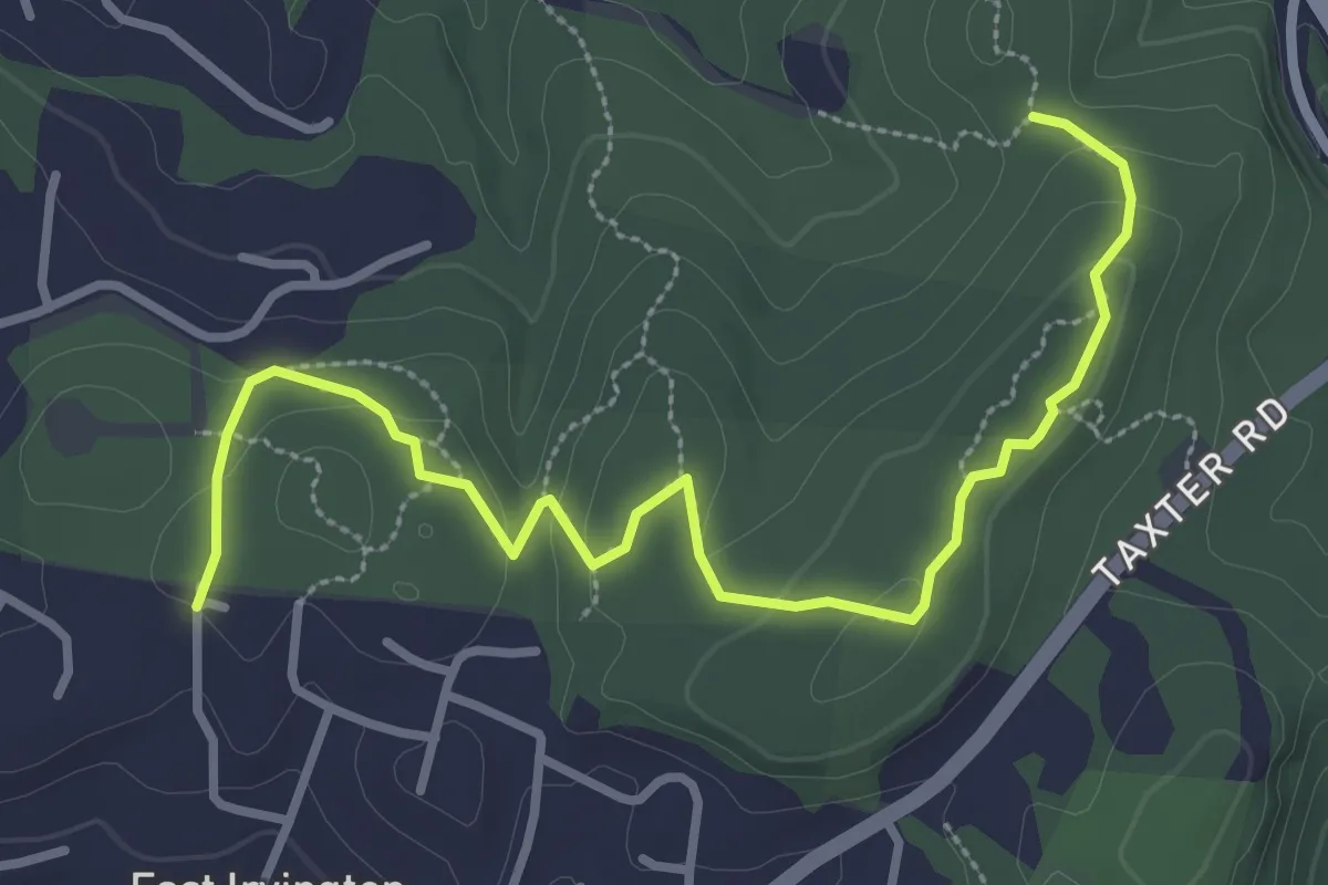
Easy · Trail
Blue Trail
4.0 km · ↑ 108 m · 1 h 11 min · 4 km away
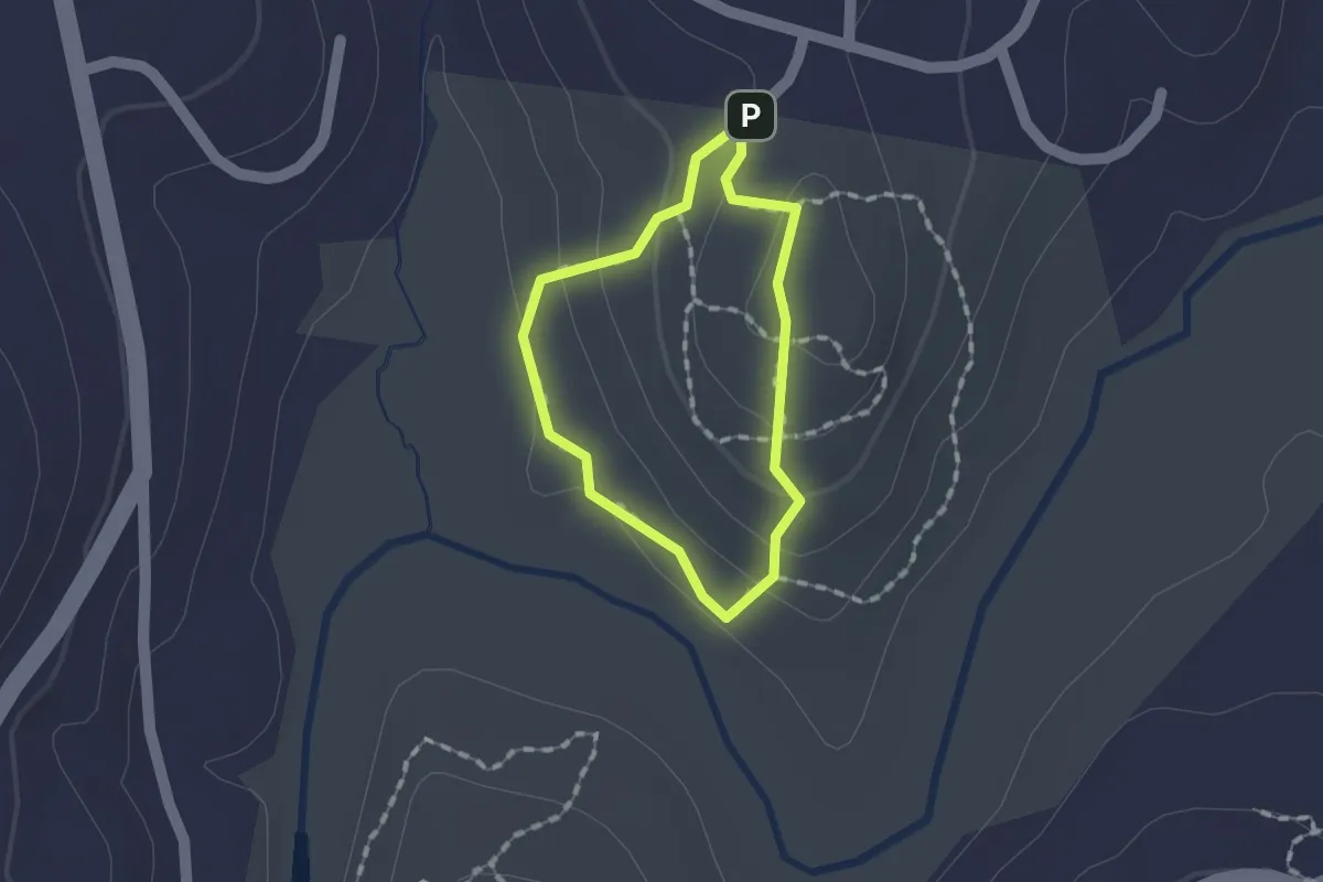
Easy · Trail
Red Trail
1.2 km · ↑ 50 m · 24 min · 5 km away
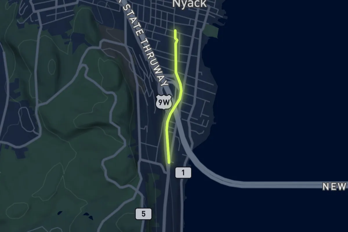
Easy · Trail
Raymond G. Esposito Trail
3.4 km · ↑ 14 m · 49 min · 5 km away
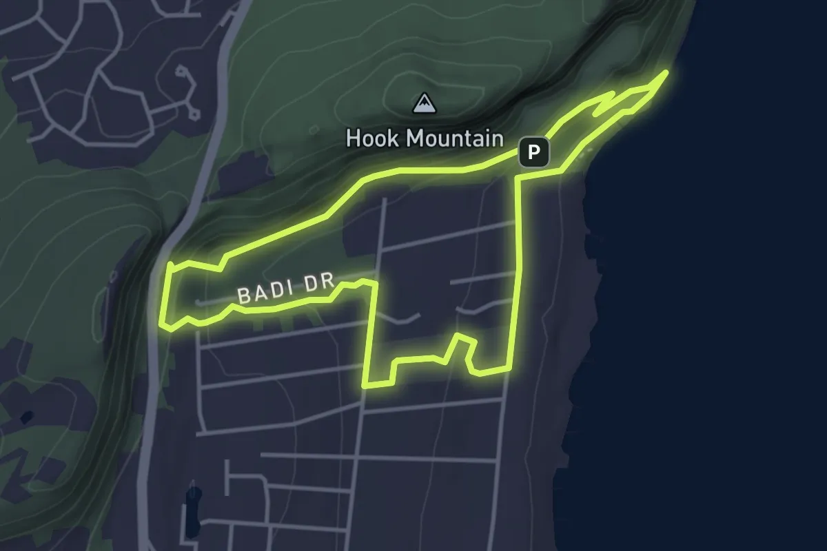
Easy · Trail
Boulders Loop
4.4 km · ↑ 126 m · 1 h 22 min · 6 km away
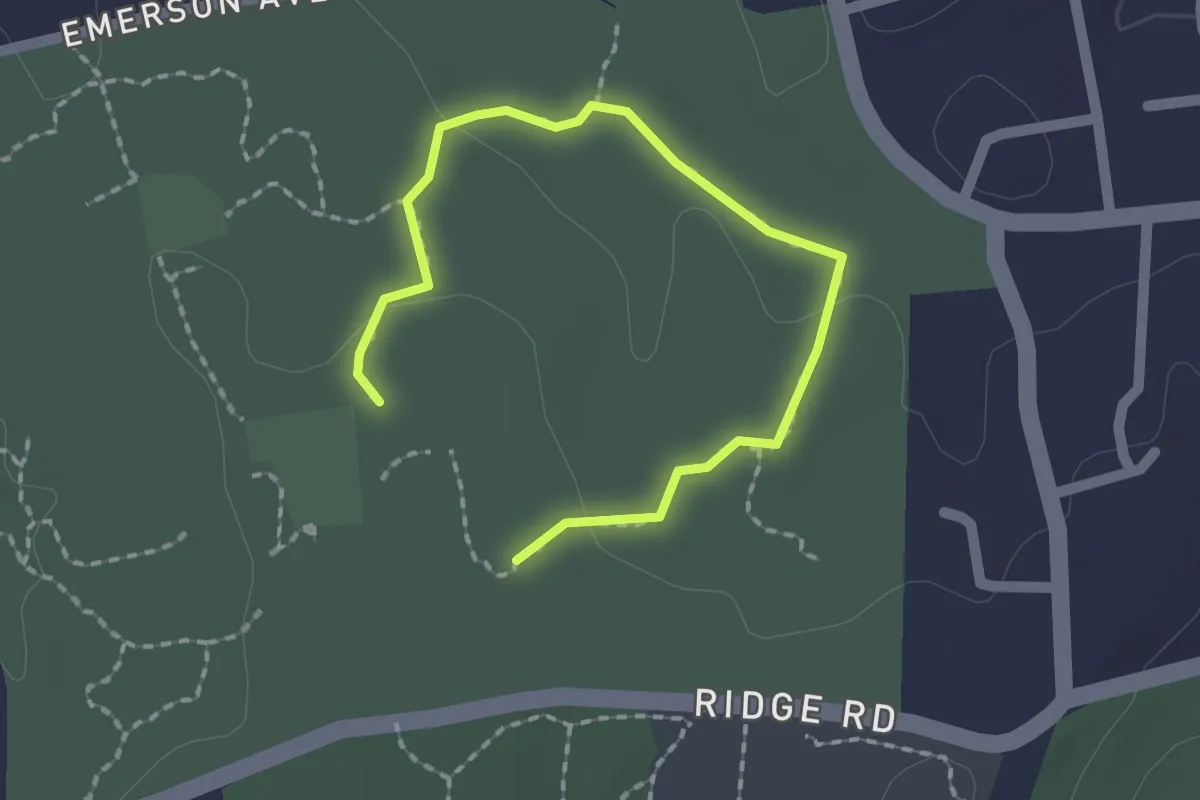
Easy · Trail
Birdhouse Loop
2.4 km · ↑ 31 m · 38 min · 8 km away
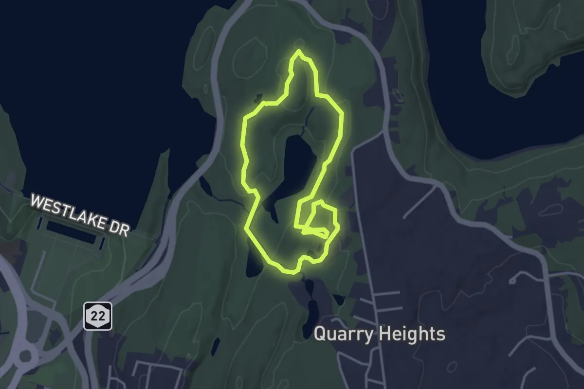
Easy · Trail
History Loop
3.1 km · ↑ 69 m · 56 min · 9 km away
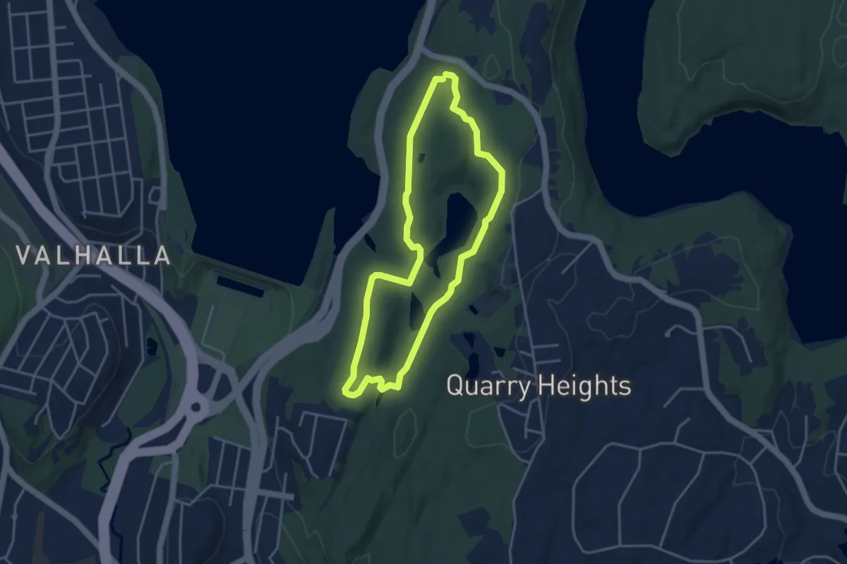
Easy · Trail
Red Loop
3.8 km · ↑ 74 m · 1 h 6 min · 9 km away
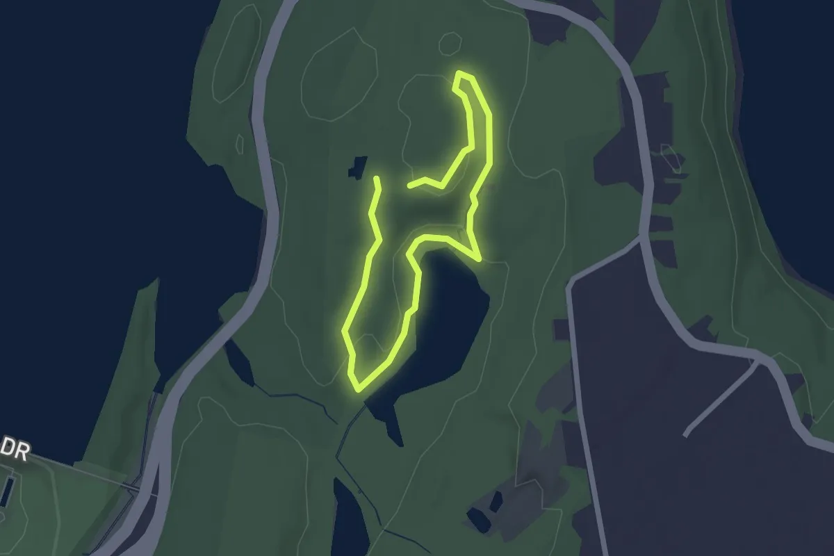
Easy · Trail
Yellow Loop
1.6 km · ↑ 24 m · 28 min · 9 km away
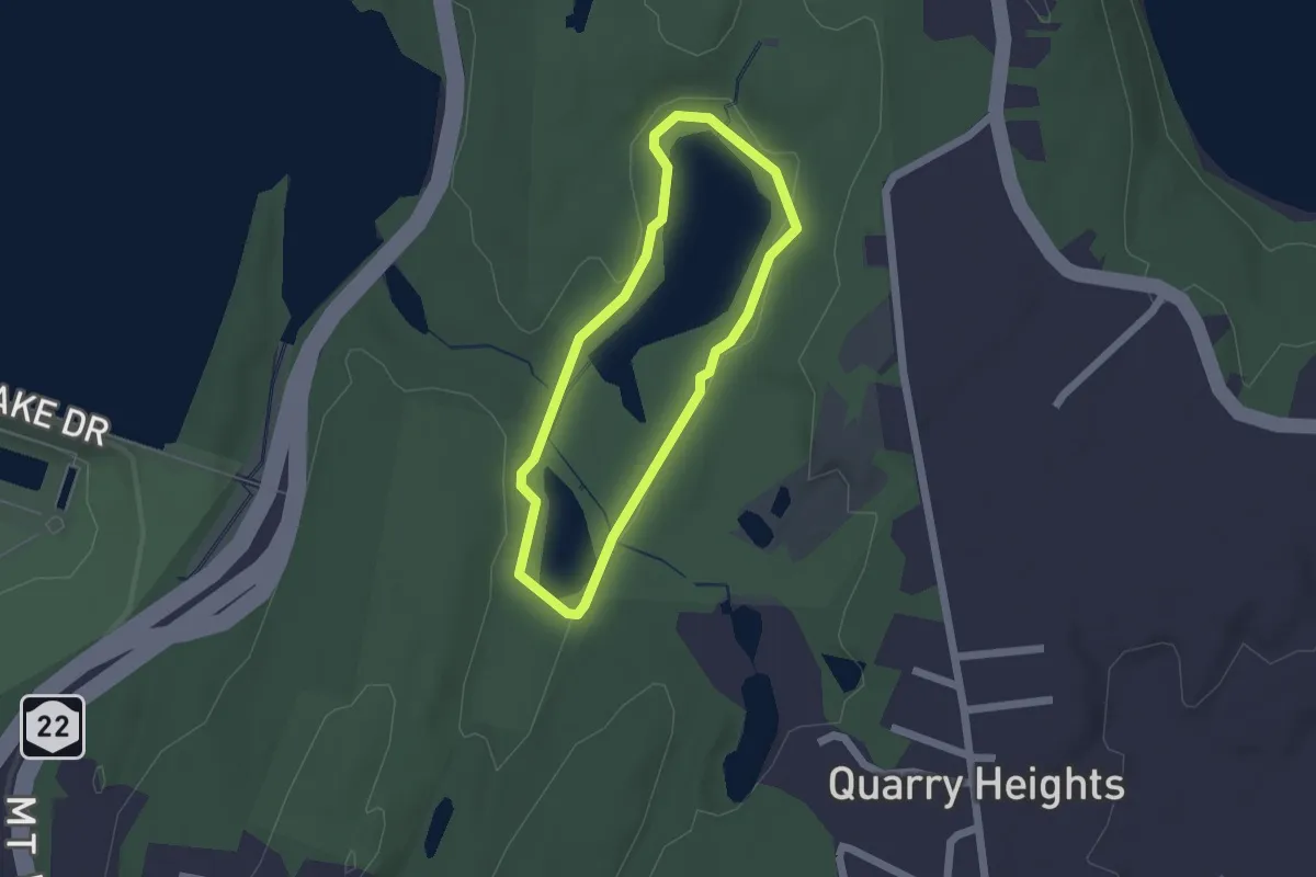
Easy · Trail
Blue Loop
1.6 km · ↑ 10 m · 26 min · 9 km away
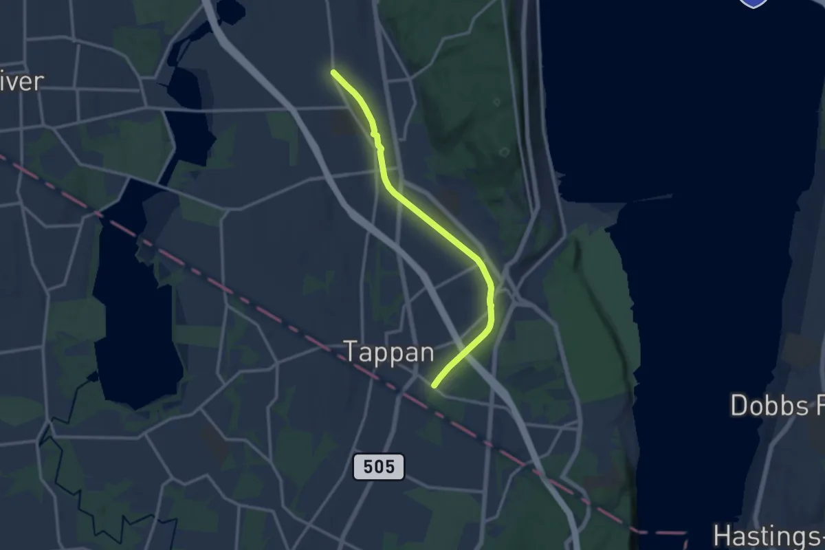
Medium · Trail
Joseph B. Clarke Rail-Trail
12.1 km · ↑ 57 m · 2 h 59 min · 9 km away
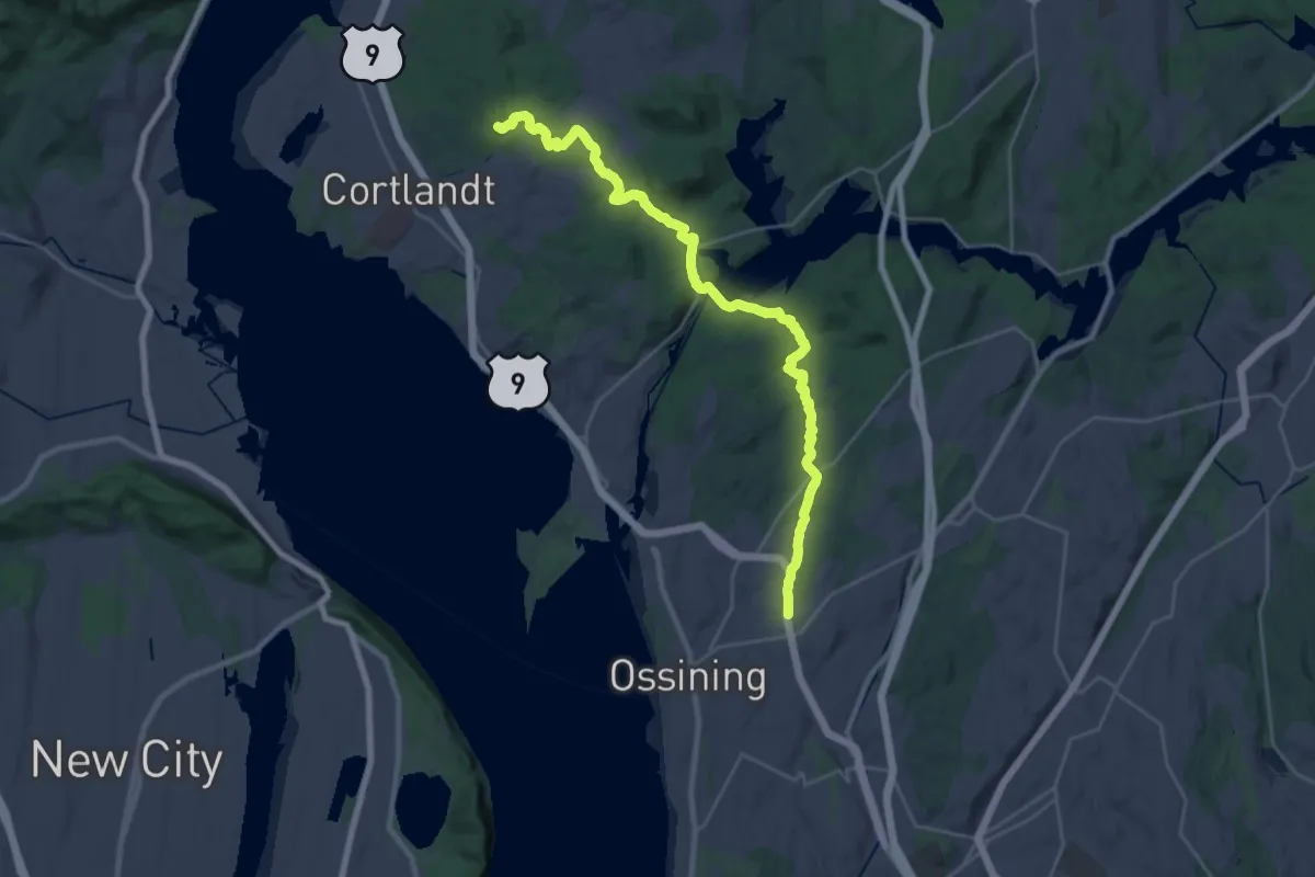
Demanding · Summit
Briarcliff-Peekskill Trailway
31.8 km · ↑ 509 m · 8 h 37 min · 10 km away
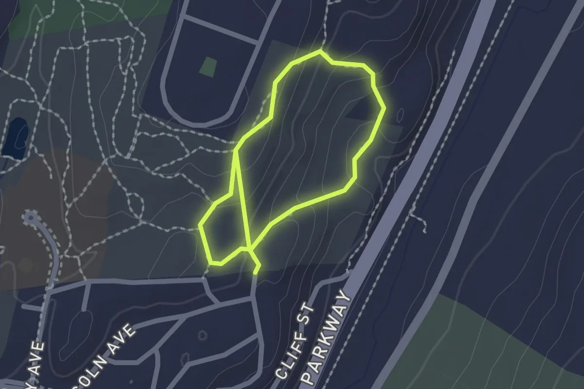
Easy · Trail
Algonquin Trail
3.1 km · ↑ 165 m · 1 h 5 min · 10 km away
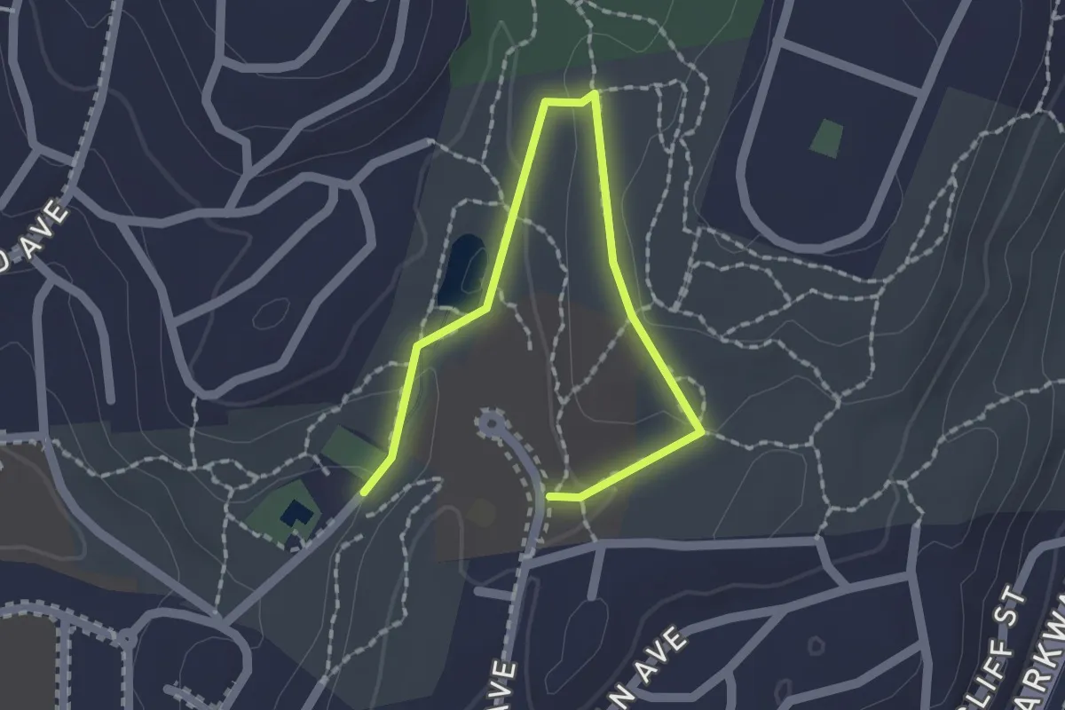
Easy · Trail
Broad Trail
2.3 km · ↑ 60 m · 40 min · 10 km away
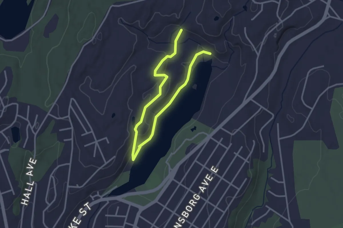
Easy · Trail
White Trail
4.4 km · ↑ 102 m · 1 h 16 min · 10 km away
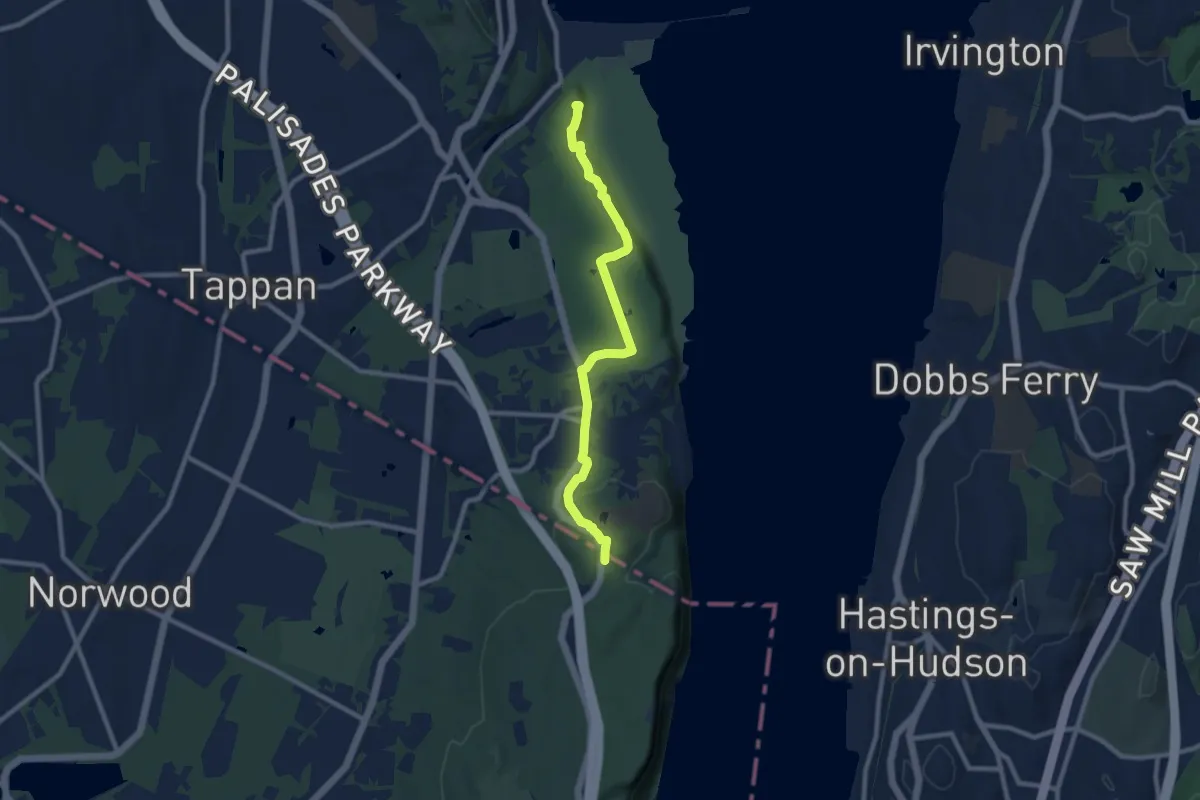
Medium · Summit
Long Path - Section 2
9.9 km · ↑ 128 m · 2 h 38 min · 10 km away
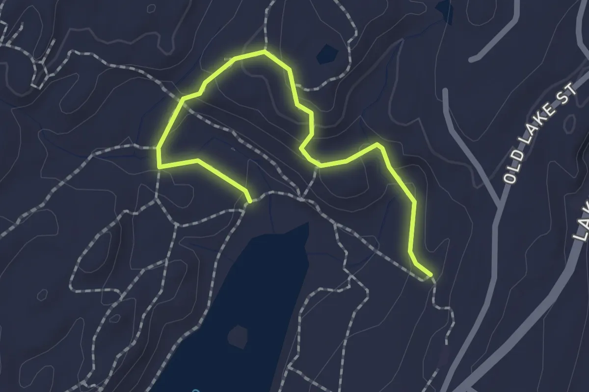
Easy · Trail
Yellow Trail
2.2 km · ↑ 100 m · 44 min · 11 km away
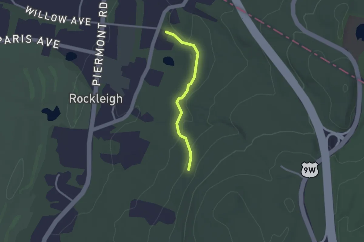
Easy · Trail
Hutcheon Trail
2.1 km · ↑ 41 m · 34 min · 11 km away
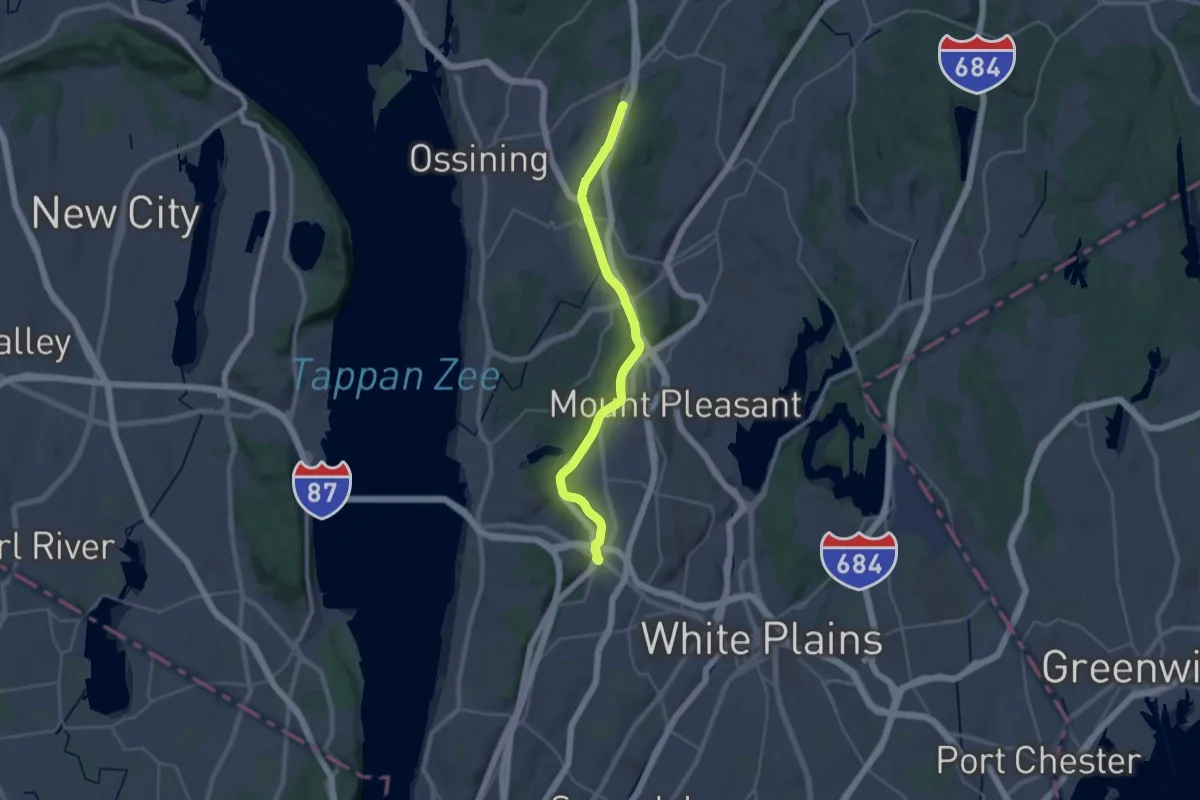
Demanding · Trail
Hudson Valley Greenway Trail (Elmsford to New Castle)
31.4 km · ↑ 124 m · 7 h 41 min · 11 km away
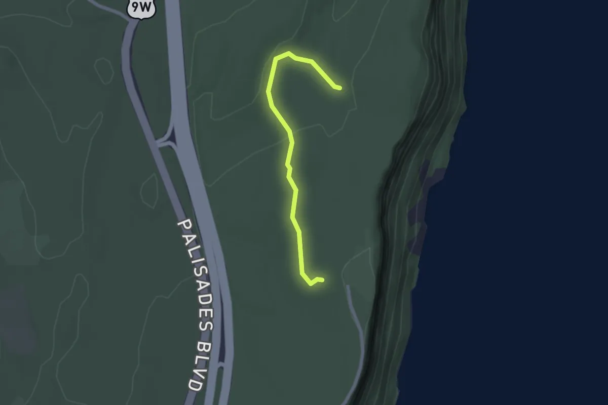
Easy · Trail
Trail C
2.1 km · ↑ 49 m · 37 min · 11 km away
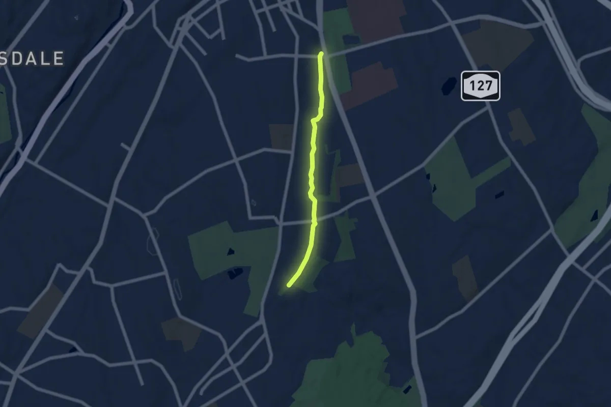
Easy · Trail
Jack Harrington Greenway
5.3 km · ↑ 10 m · 1 h 16 min · 11 km away
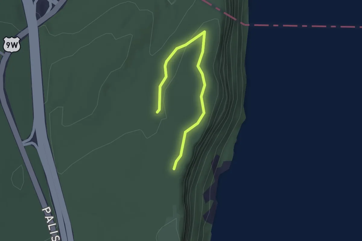
Easy · Trail
Trail E
2.3 km · ↑ 45 m · 38 min · 11 km away
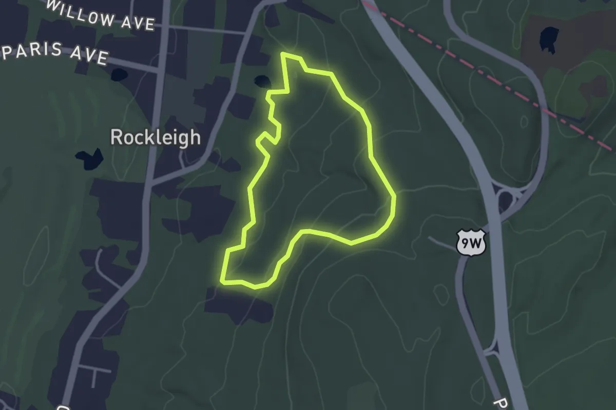
Easy · Trail
Sneden Harring Lamont Trail (Yellow)
3.0 km · ↑ 81 m · 55 min · 11 km away
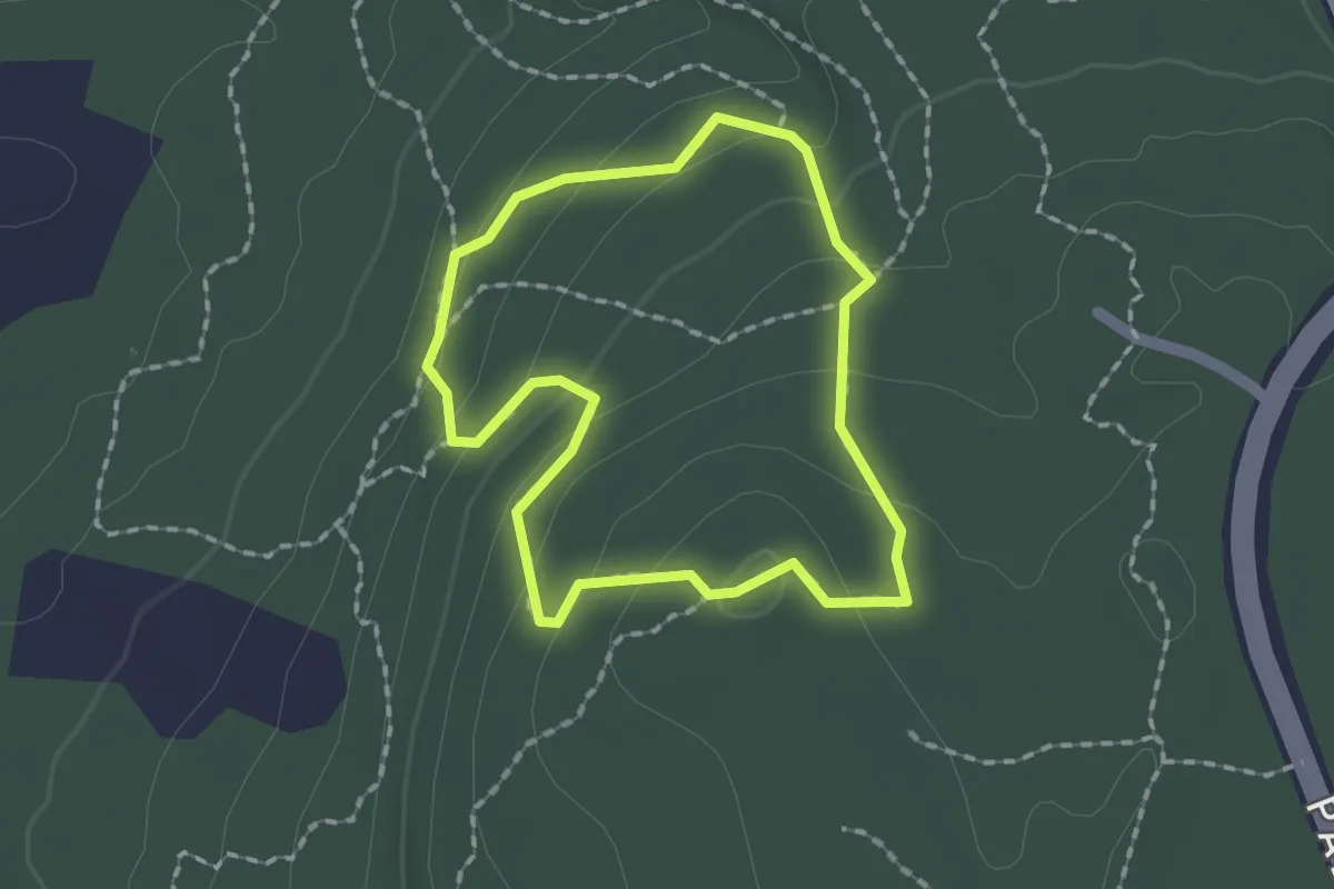
Easy · Trail
Lamont Rock Trail
1.6 km · ↑ 87 m · 36 min · 11 km away
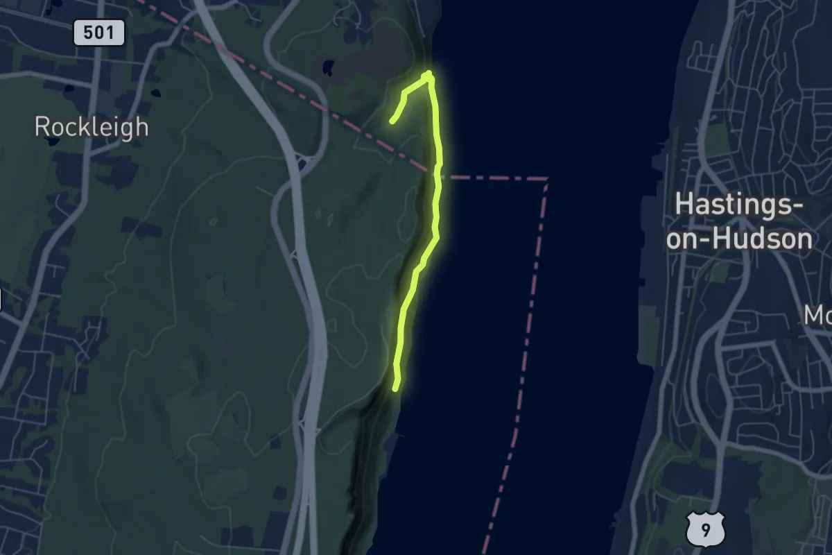
Easy · Trail
Shore Trail
5.3 km · ↑ 186 m · 1 h 40 min · 12 km away
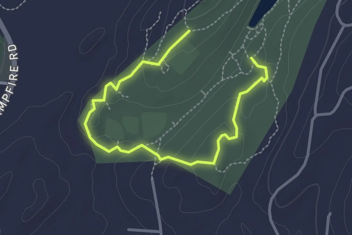
Easy · Trail
Red Trail
3.3 km · ↑ 100 m · 1 h · 12 km away
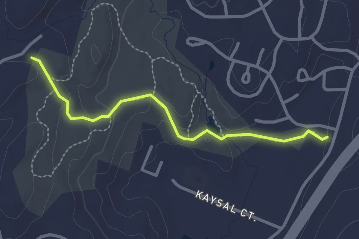
Easy · Trail
Red Trail
2.4 km · ↑ 67 m · 43 min · 12 km away
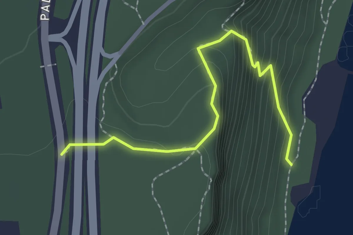
Easy · Trail
Forest View Trail
2.2 km · ↑ 166 m · 53 min · 13 km away
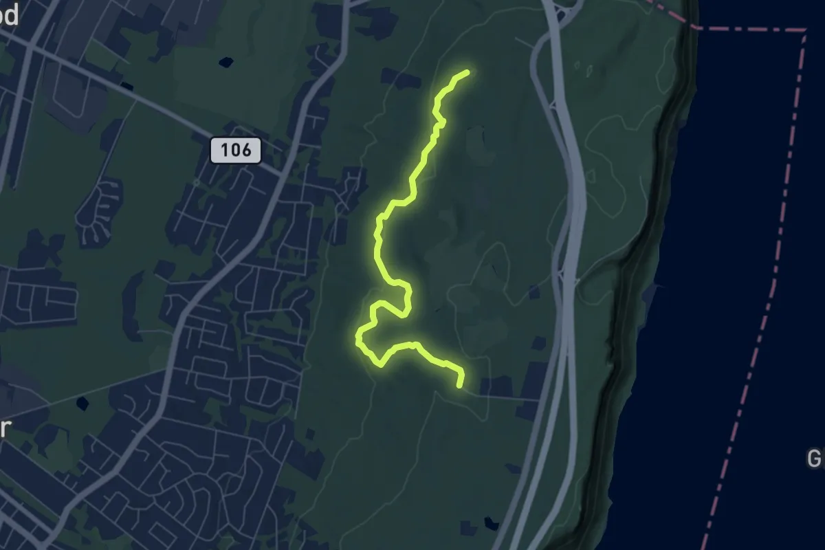
Easy · Trail
Red Dot Trail
7.3 km · ↑ 169 m · 2 h 6 min · 13 km away
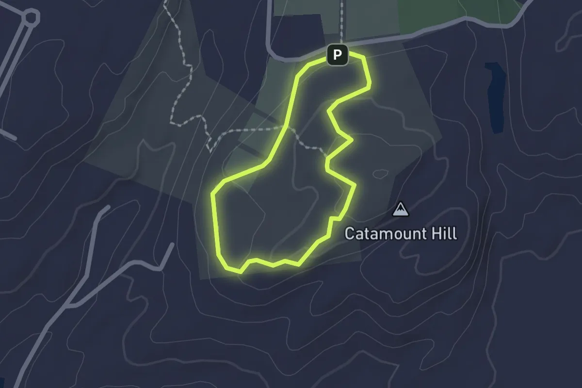
Easy · Summit
Catamount Hill Loop
1.5 km · ↑ 34 m · 27 min · 13 km away
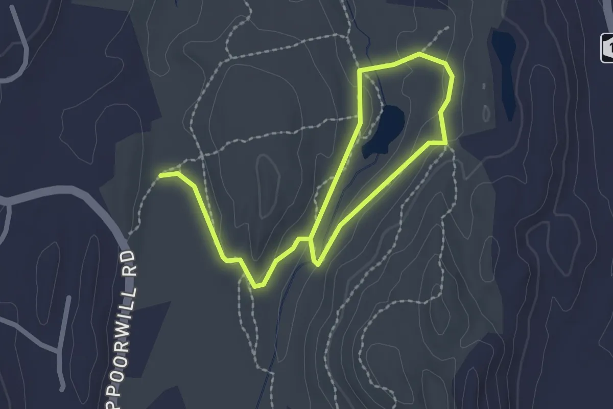
Easy · Trail
Blue Trail
3.3 km · ↑ 63 m · 56 min · 14 km away
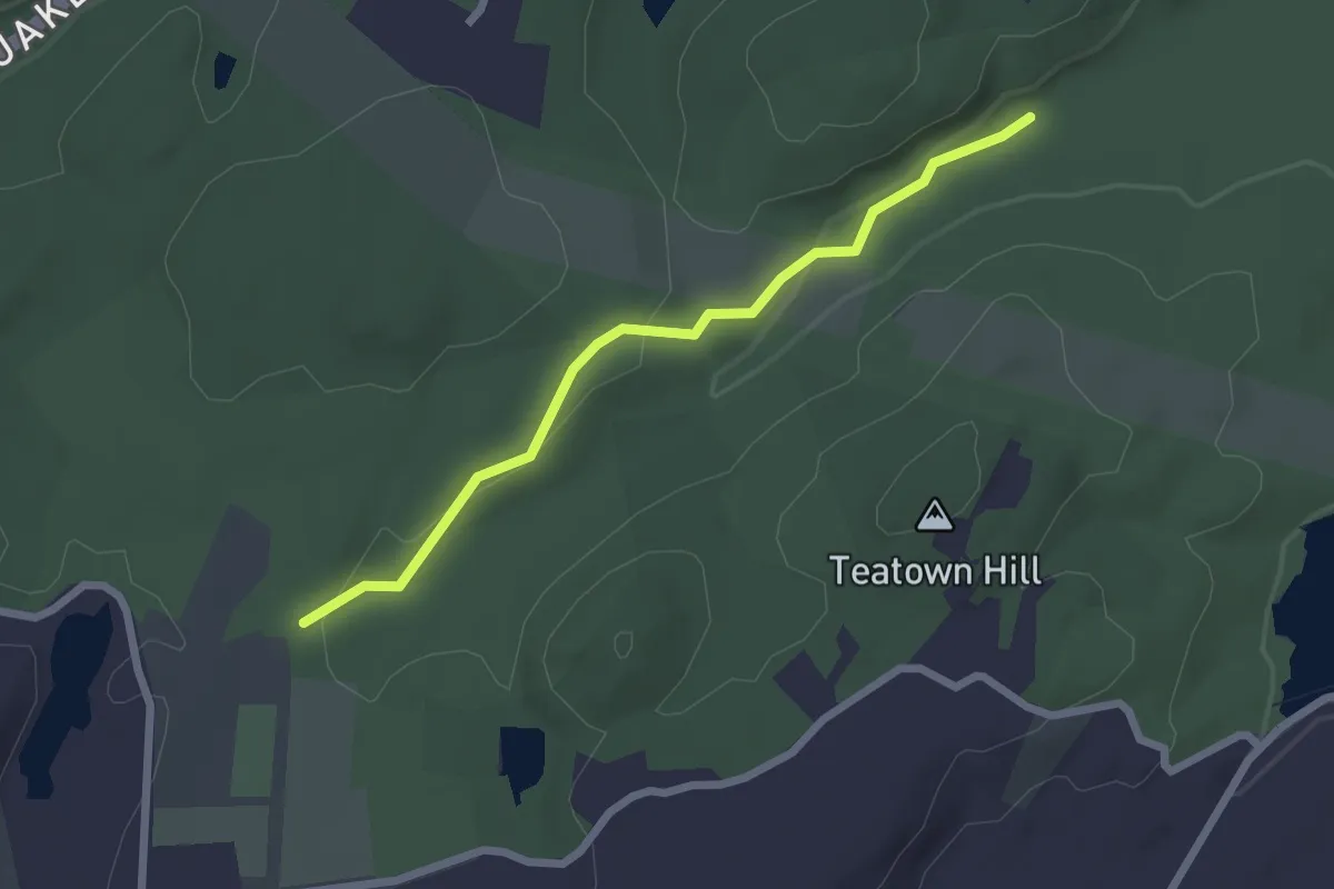
Easy · Trail
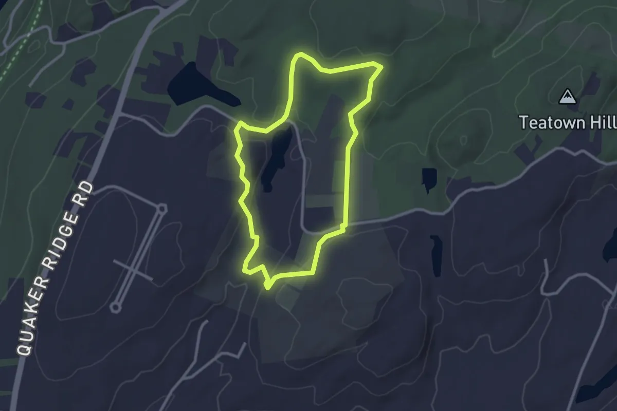
Cliffdale-Teatown Trail
2.5 km · ↑ 53 m · 42 min · 14 km away
Easy · Trail
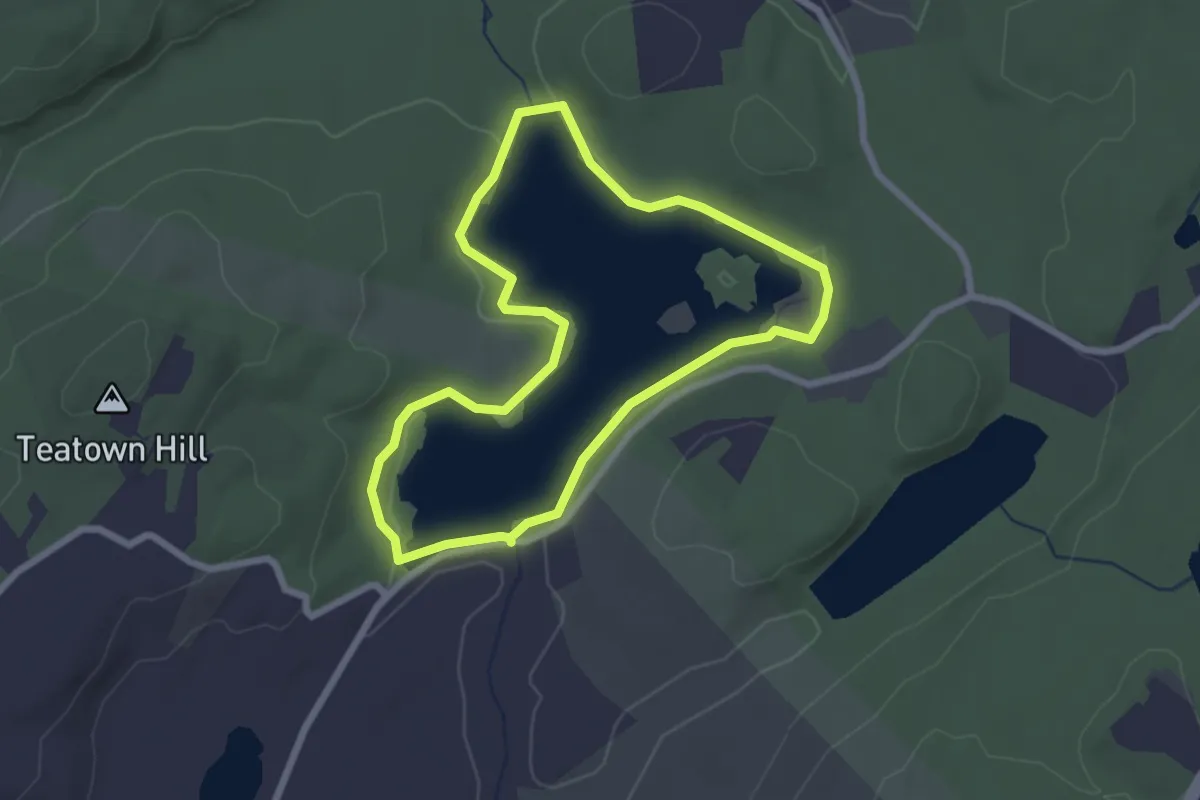
Cliffdale Loop
2.7 km · ↑ 70 m · 50 min · 14 km away
Easy · Trail
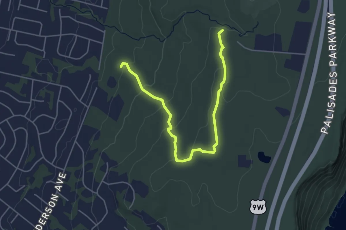
Lakeside Loop
2.5 km · ↑ 9 m · 39 min · 14 km away
Easy · Trail
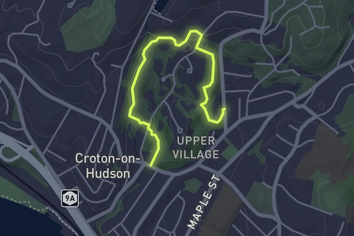
Yellow Dot Trail
5.0 km · ↑ 111 m · 1 h 25 min · 14 km away
Easy · Trail
Upper Village Trail Loop
4.1 km · ↑ 151 m · 1 h 18 min · 14 km away
Easy · Trail
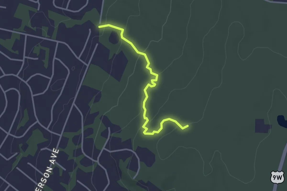
Wild Turkey Trail
3.3 km · ↑ 114 m · 1 h 1 min · 14 km away
Easy · Trail
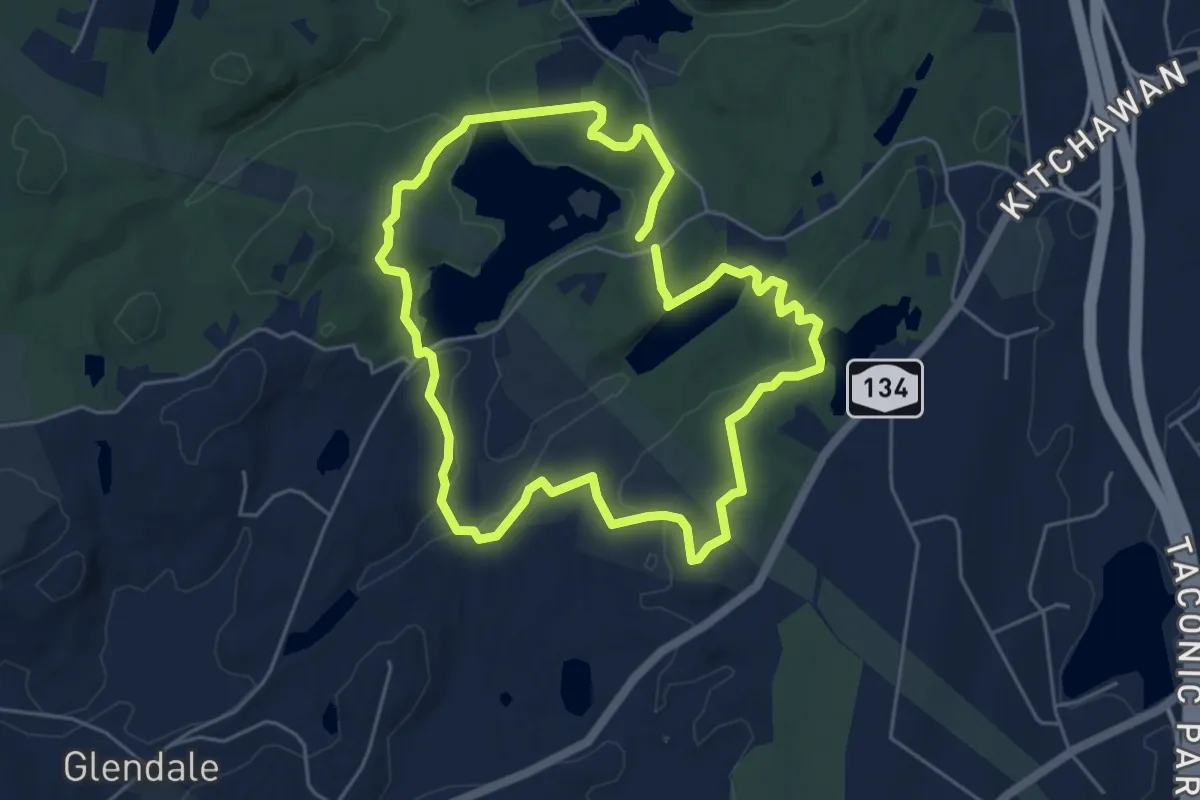
Three Lakes Loop
5.5 km · ↑ 127 m · 1 h 39 min · 14 km away
Easy · Trail
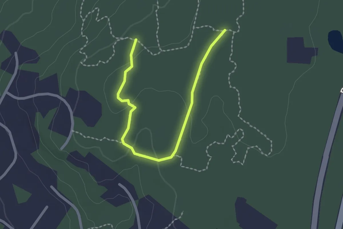
Green Trail
2.5 km · ↑ 29 m · 39 min · 14 km away
Demanding · Trail
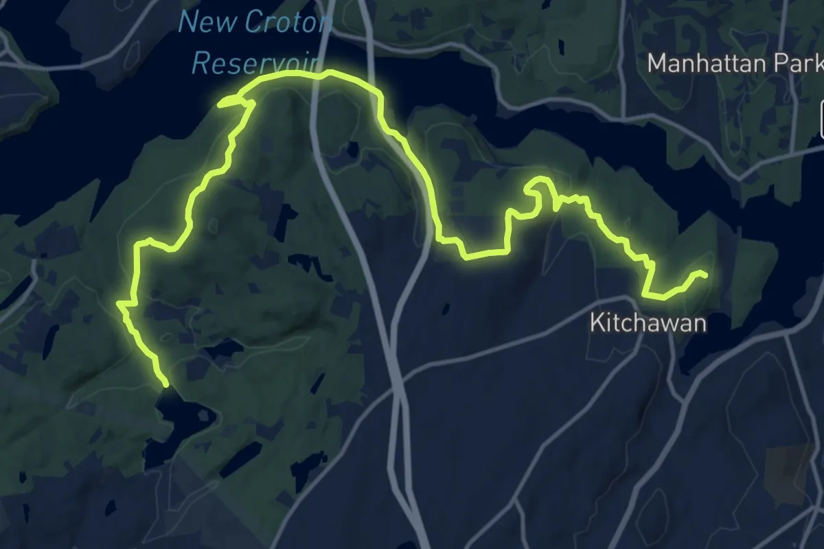
Teatown-Kitchawan Trail
20.6 km · ↑ 558 m · 6 h 4 min · 14 km away
Easy · Trail
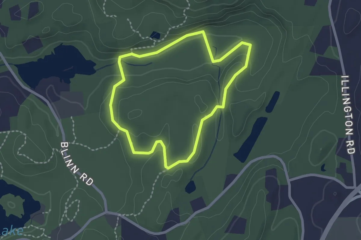
Hidden Valley Loop
2.0 km · ↑ 36 m · 34 min · 15 km away