Trails near South Windsor
29 hikes starting within 15 km, nearest first.
Nearest first
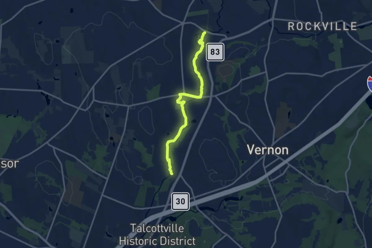
Medium · Trail
Vernon Hockanum River Trail System
10.4 km · ↑ 15 m · 2 h 29 min · 5 km away
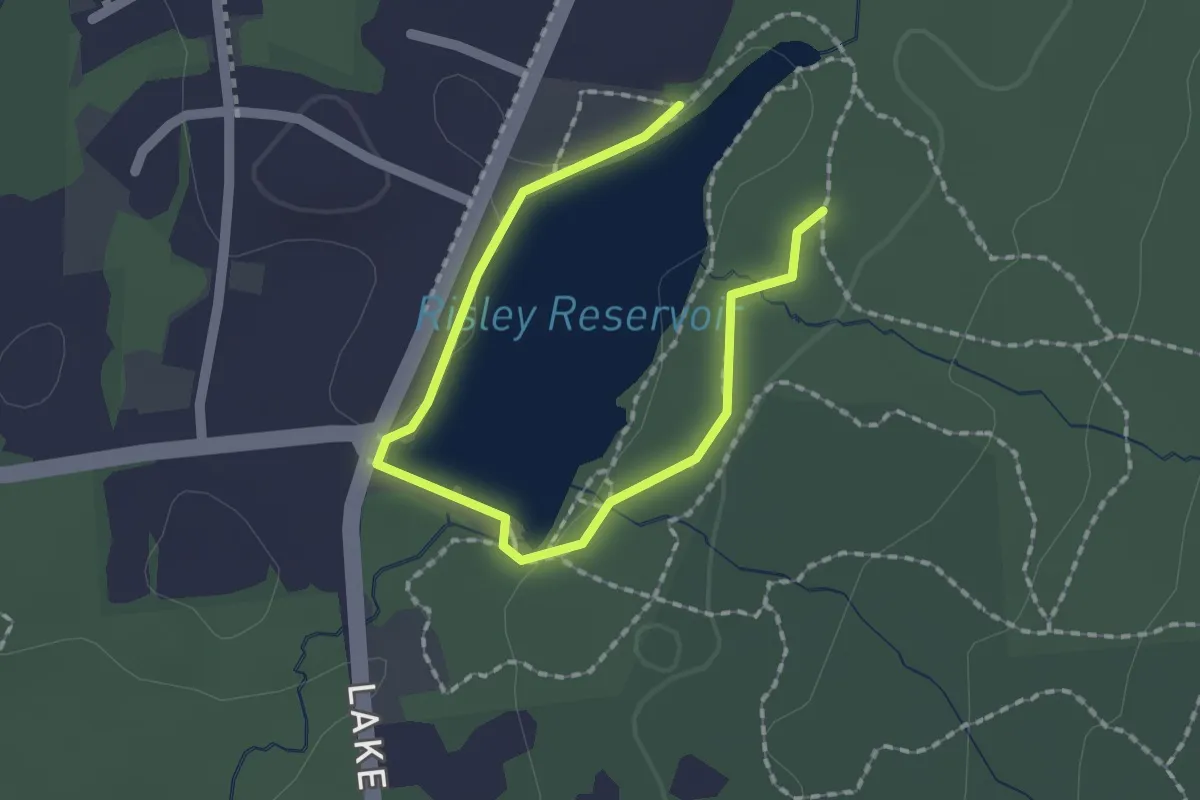
Easy · Trail
Yellow Trail
2.4 km · ↑ 5 m · 35 min · 8 km away
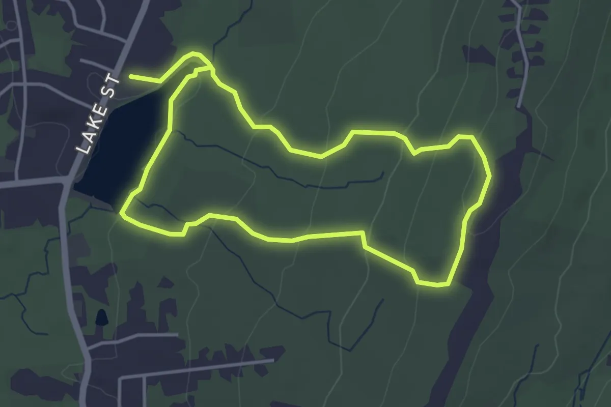
Easy · Trail
Risley Pond Loop Trail
7.6 km · ↑ 214 m · 2 h 15 min · 8 km away
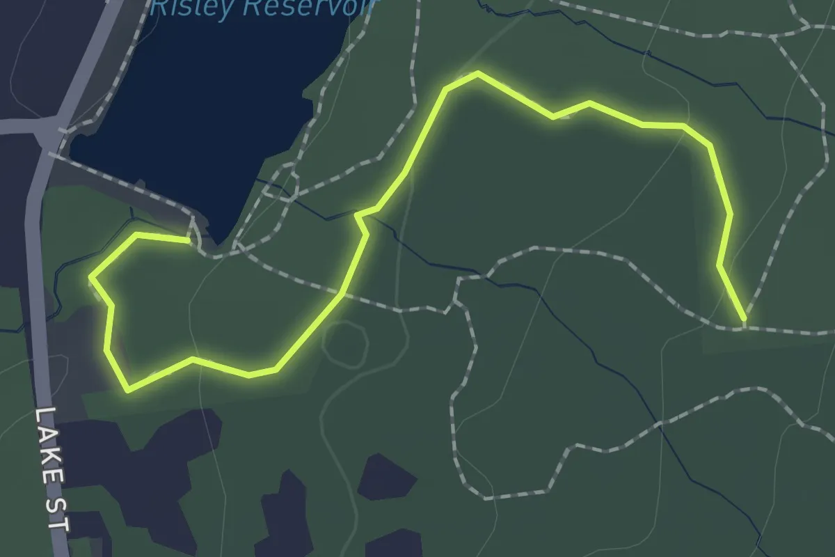
Easy · Trail
Orange Trail
2.4 km · ↑ 34 m · 38 min · 9 km away
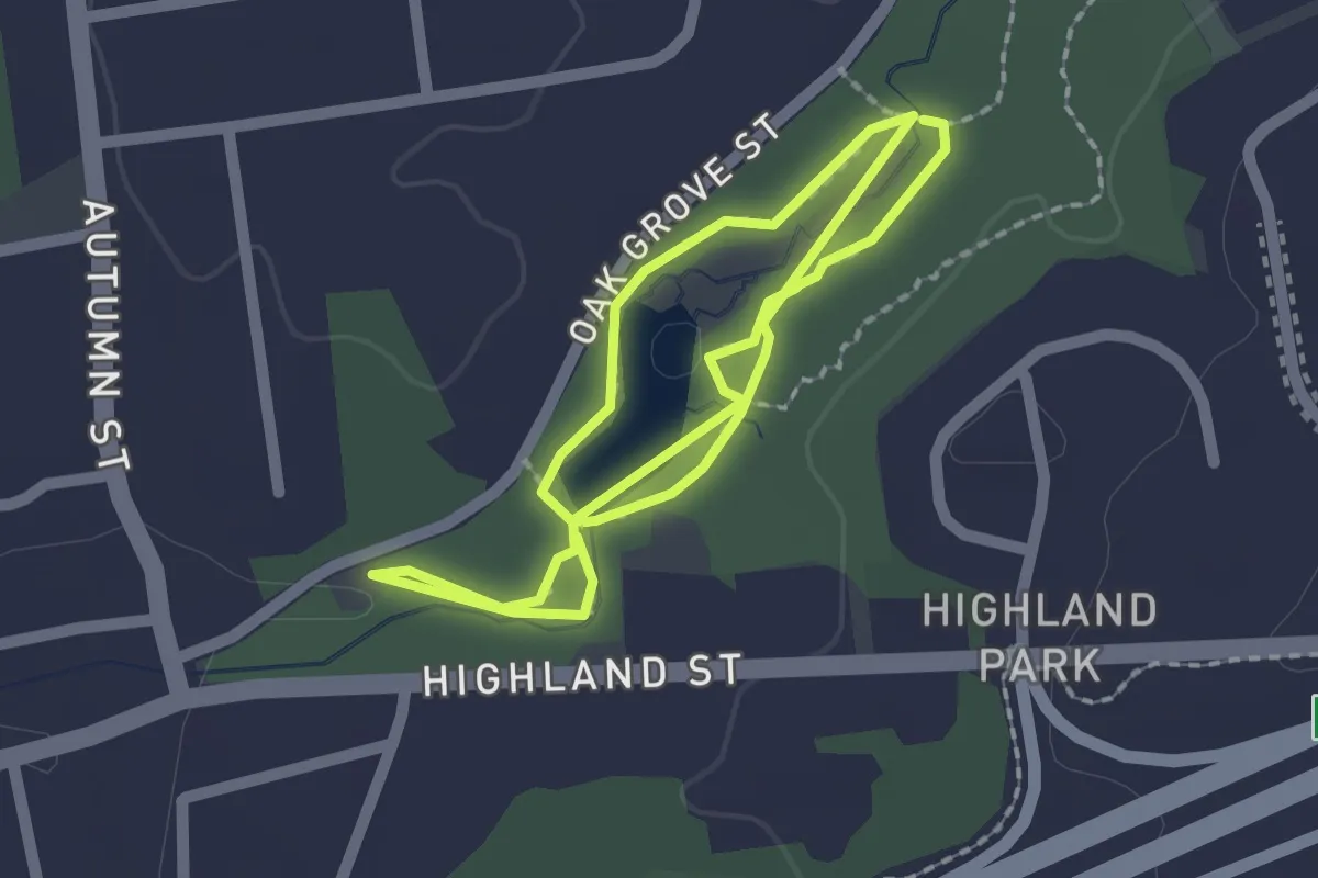
Easy · Trail
Pond Trail
4.0 km · ↑ 28 m · 1 h · 9 km away
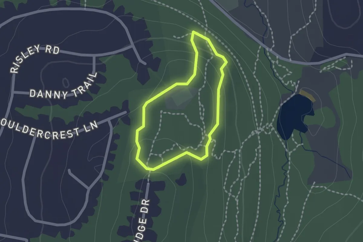
Easy · Trail
Boulder Crest Outer Loop
1.4 km · ↑ 55 m · 29 min · 9 km away
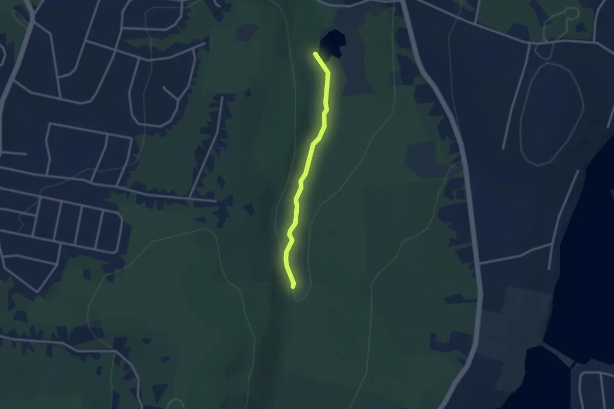
Easy · Trail
Railroad Brook Trail
2.5 km · ↑ 34 m · 40 min · 9 km away
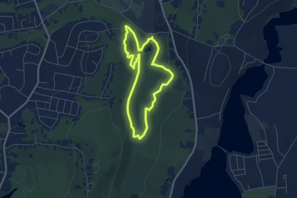
Easy · Trail
Valley Falls Loop Trail
5.4 km · ↑ 144 m · 1 h 39 min · 9 km away
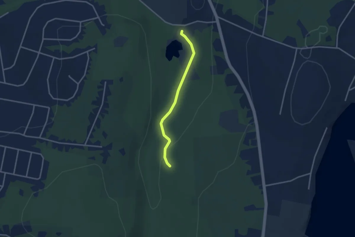
Easy · Trail
Main Road Trail
2.5 km · ↑ 68 m · 44 min · 10 km away
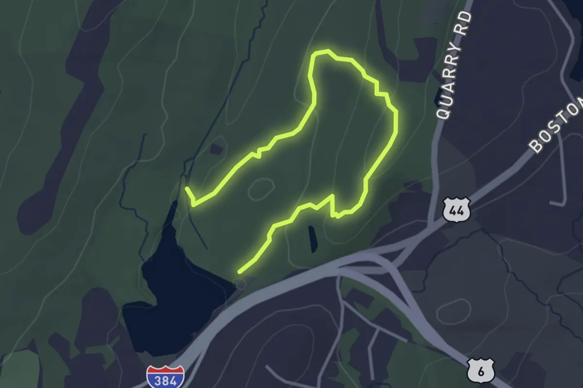
Easy · Trail
Mohegan Trail
4.5 km · ↑ 161 m · 1 h 25 min · 10 km away
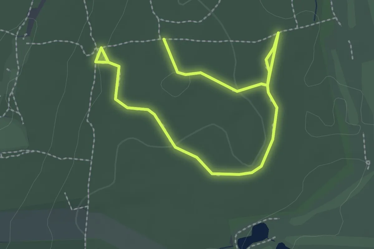
Easy · Trail
Black Trail
3.6 km · ↑ 30 m · 54 min · 10 km away
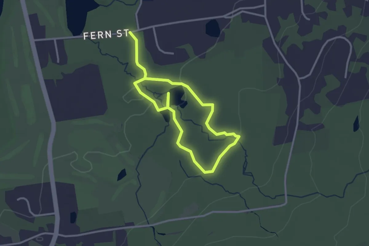
Easy · Trail
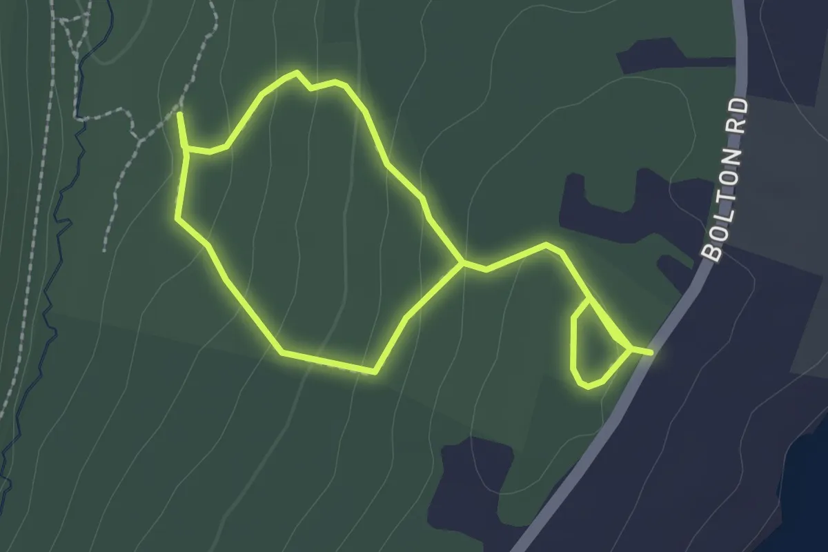
Blue Trail
4.8 km · ↑ 58 m · 1 h 16 min · 10 km away
Easy · Trail
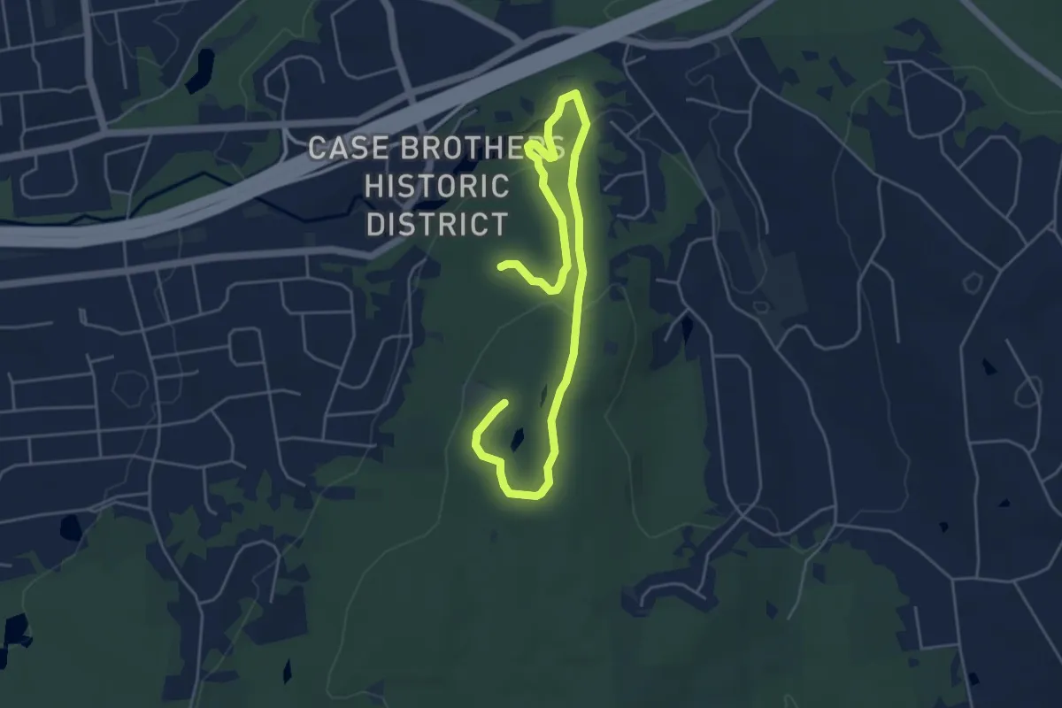
Tulip Tree Trail
4.1 km · ↑ 168 m · 1 h 20 min · 10 km away
Easy · Summit
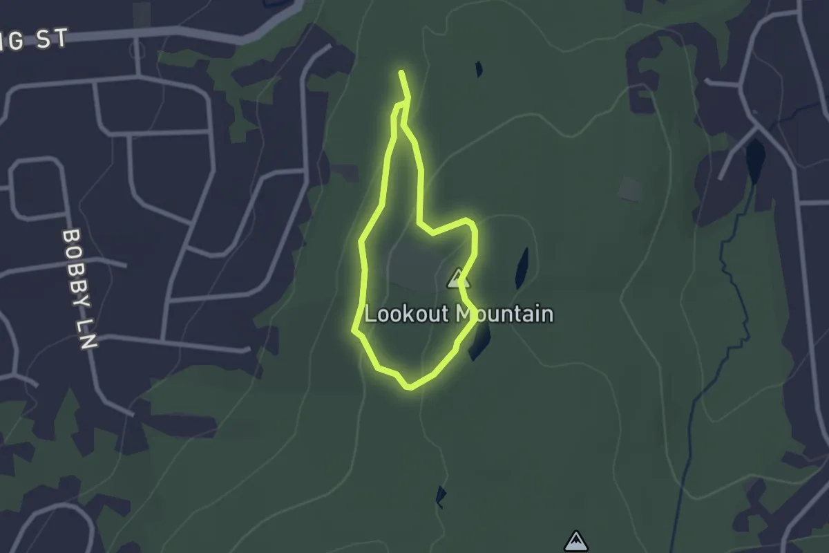
Carriage Path
7.0 km · ↑ 170 m · 2 h 1 min · 10 km away
Easy · Summit
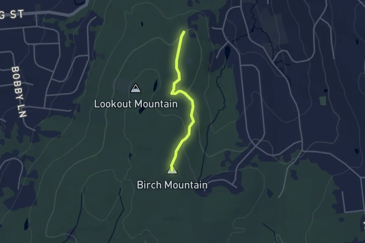
Highland Trail
1.8 km · ↑ 60 m · 35 min · 10 km away
Easy · Summit
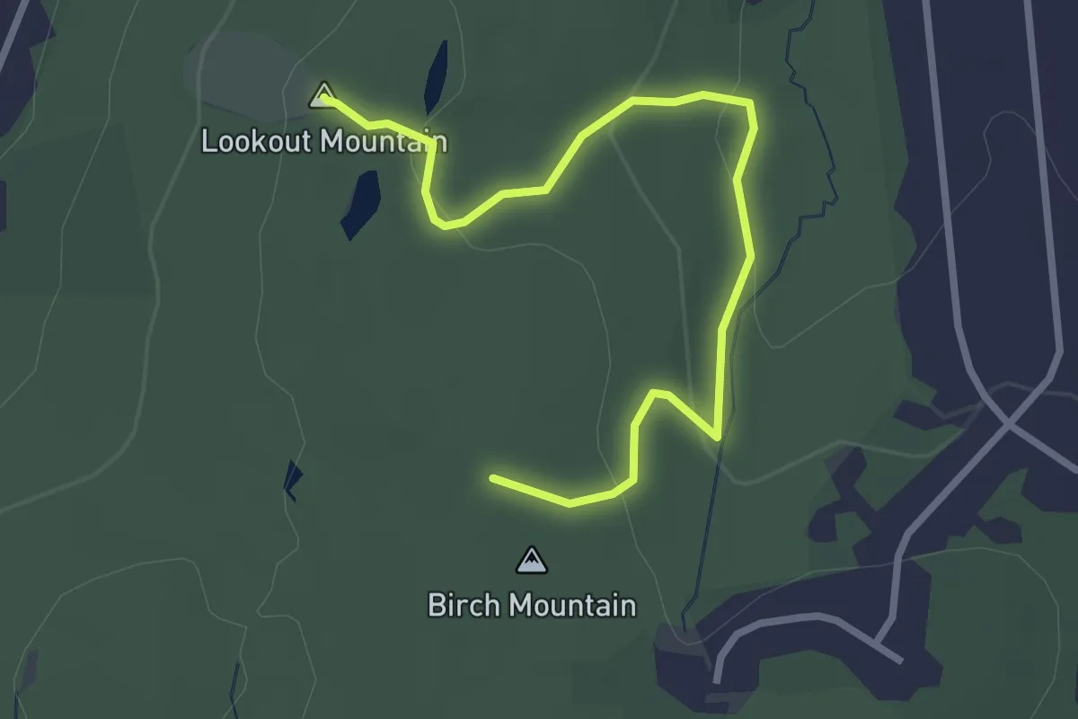
Birch Mountain Trail
2.6 km · ↑ 83 m · 48 min · 11 km away
Easy · Summit
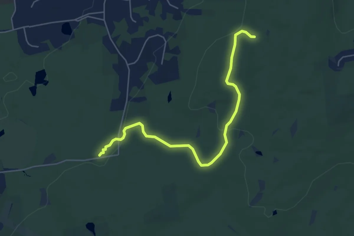
Lookout Mountain Trail
3.3 km · ↑ 118 m · 1 h 3 min · 11 km away
Easy · Trail
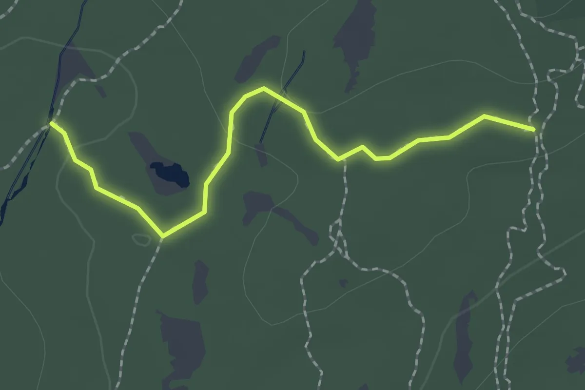
Yellow-Red Trail
5.3 km · ↑ 104 m · 1 h 28 min · 11 km away
Easy · Trail
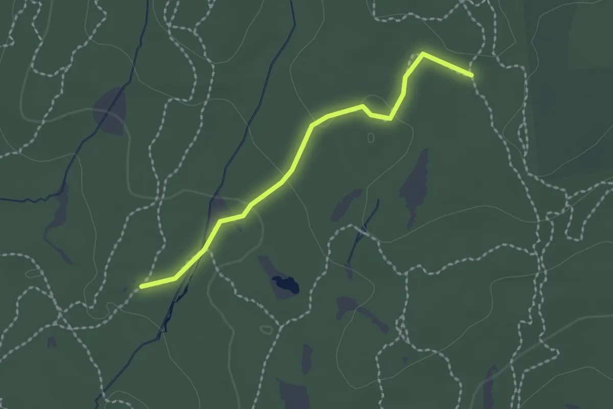
Red Trail
2.1 km · ↑ 35 m · 34 min · 12 km away
Easy · Trail
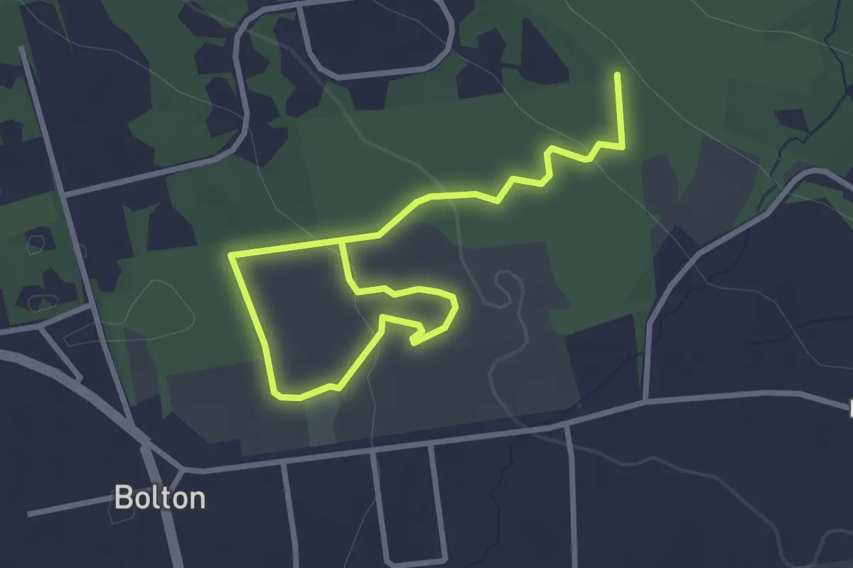
Yellow-Gray Trail
2.0 km · ↑ 34 m · 33 min · 12 km away
Easy · Trail
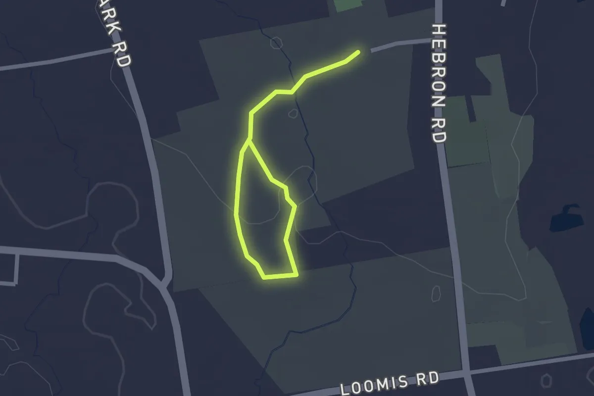
Rose Trail
4.0 km · ↑ 102 m · 1 h 11 min · 13 km away
Easy · Trail
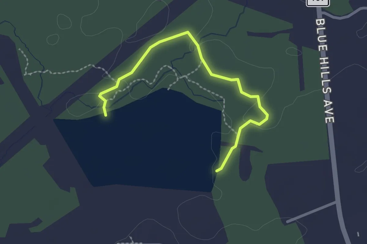
Bates Nature Trail
2.4 km · ↑ 40 m · 40 min · 13 km away
Easy · Trail
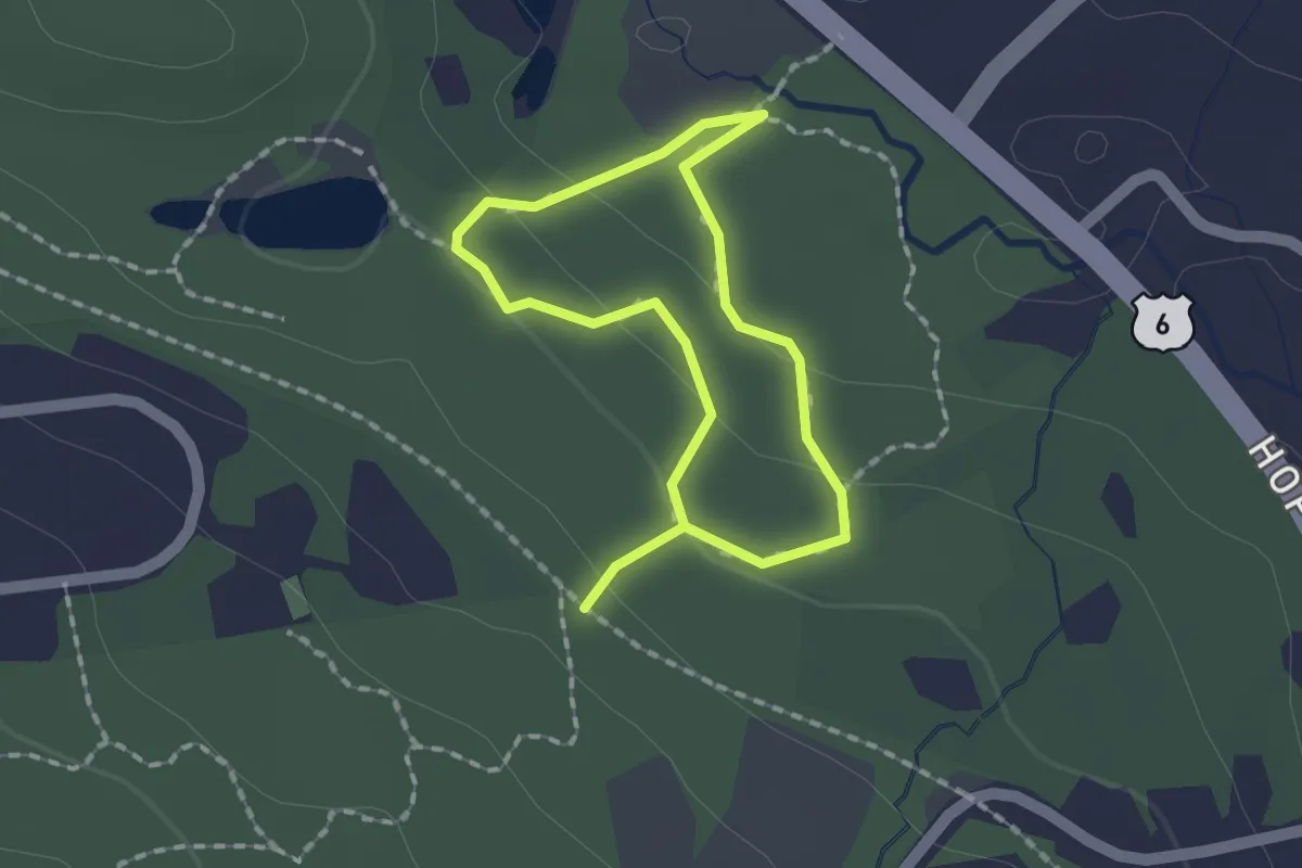
Yellow Trail
2.6 km · ↑ 8 m · 37 min · 13 km away
Easy · Trail
Clark Trail
1.4 km · ↑ 31 m · 25 min · 13 km away
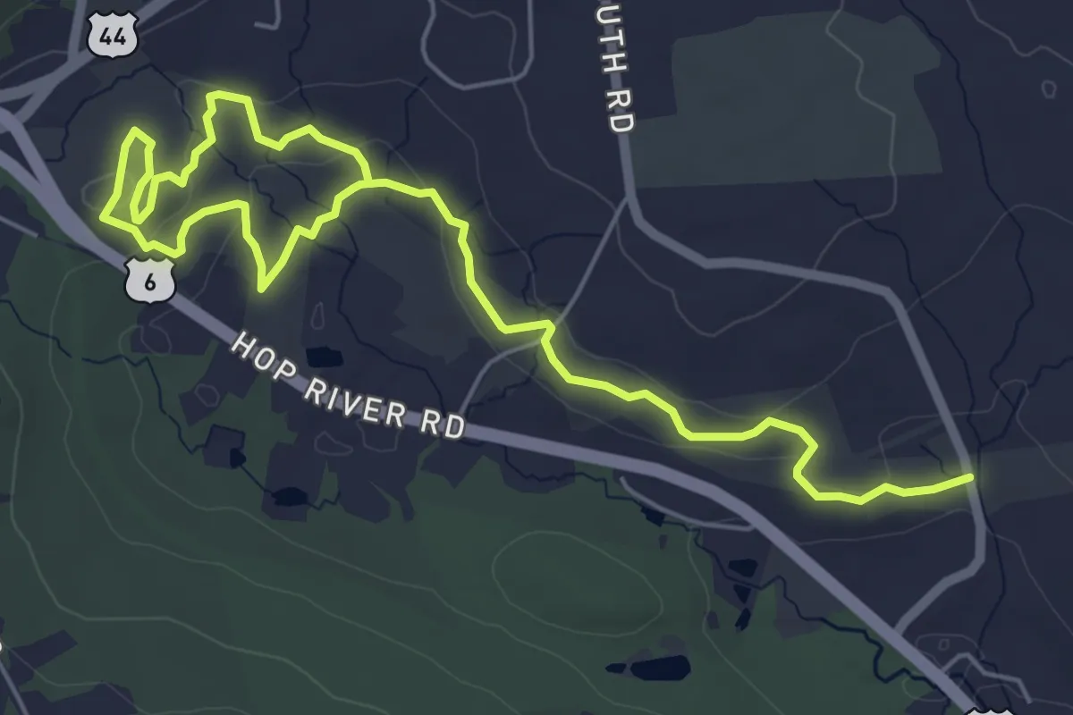
Medium · Trail
Nathan Hale Greenway Yellow Trail
8.7 km · ↑ 226 m · 2 h 33 min · 13 km away
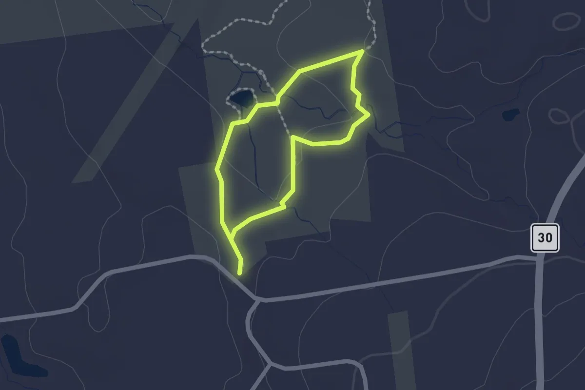
Easy · Trail
Orange Trail
1.4 km · ↑ 14 m · 23 min · 14 km away
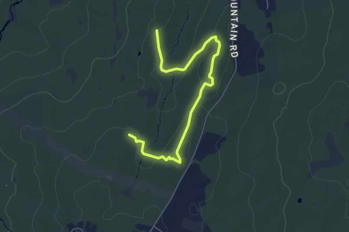
Easy · Trail
Shenipsit/Gay City Connector
5.4 km · ↑ 171 m · 1 h 38 min · 14 km away
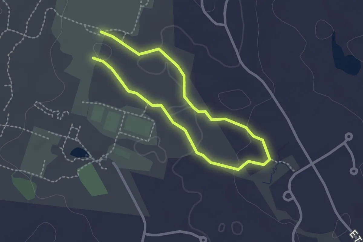
Easy · Trail
Brookside Trail
1.8 km · ↑ 21 m · 30 min · 14 km away
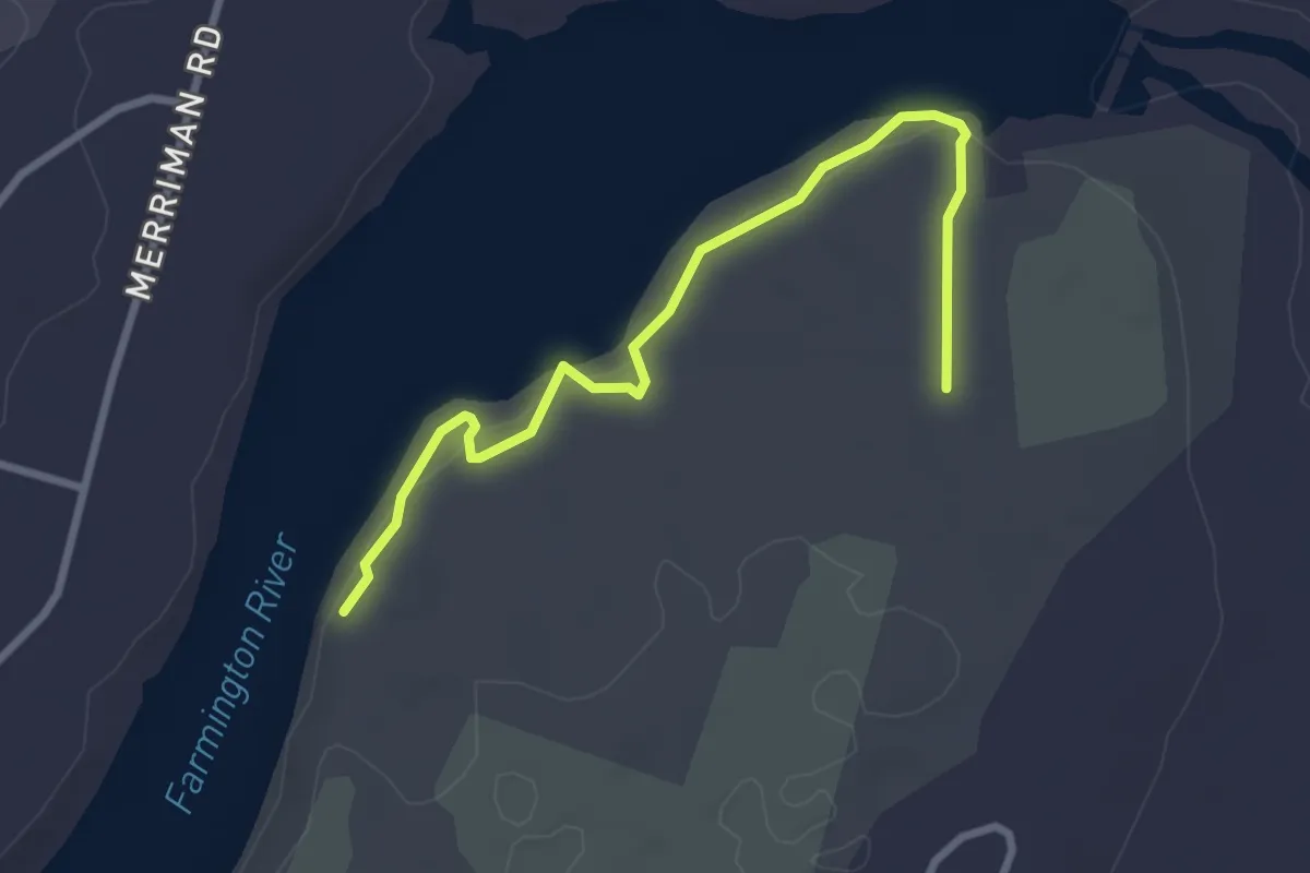
Easy · Trail
Rainbow Reservoir Trail
3.4 km · ↑ 33 m · 52 min · 14 km away