Trails near Southbury
28 hikes starting within 15 km, nearest first.
Nearest first
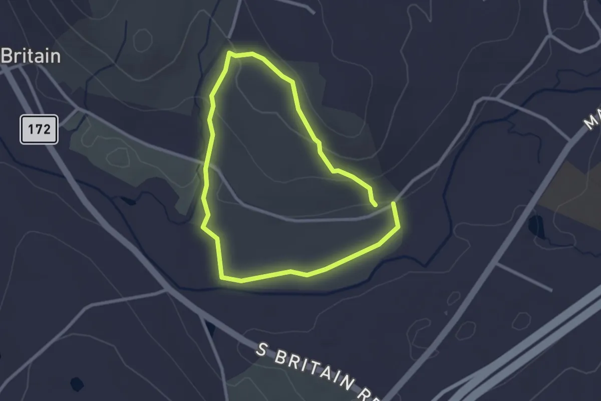
Easy · Trail
Blue Trail
2.4 km · ↑ 62 m · 44 min · 2 km away
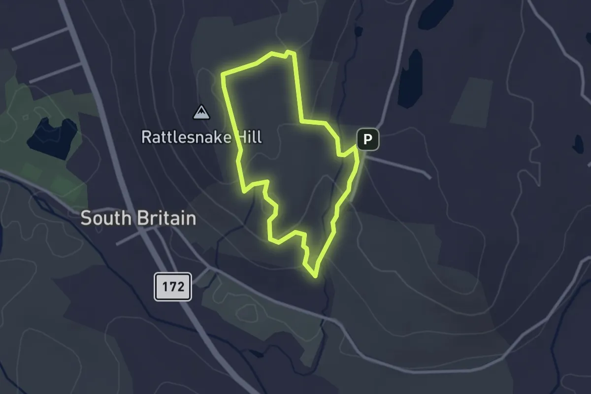
Easy · Summit
Yellow Trail
2.5 km · ↑ 91 m · 50 min · 2 km away
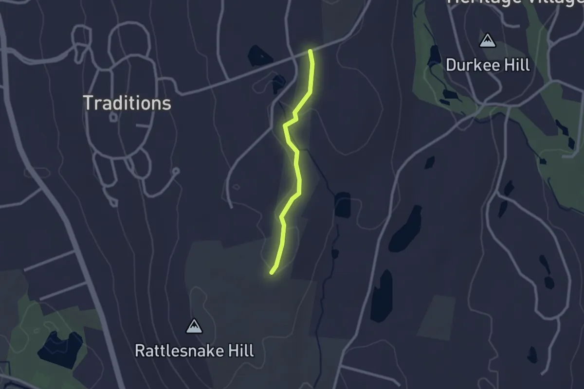
Easy · Trail
White Trail
2.0 km · ↑ 28 m · 32 min · 3 km away
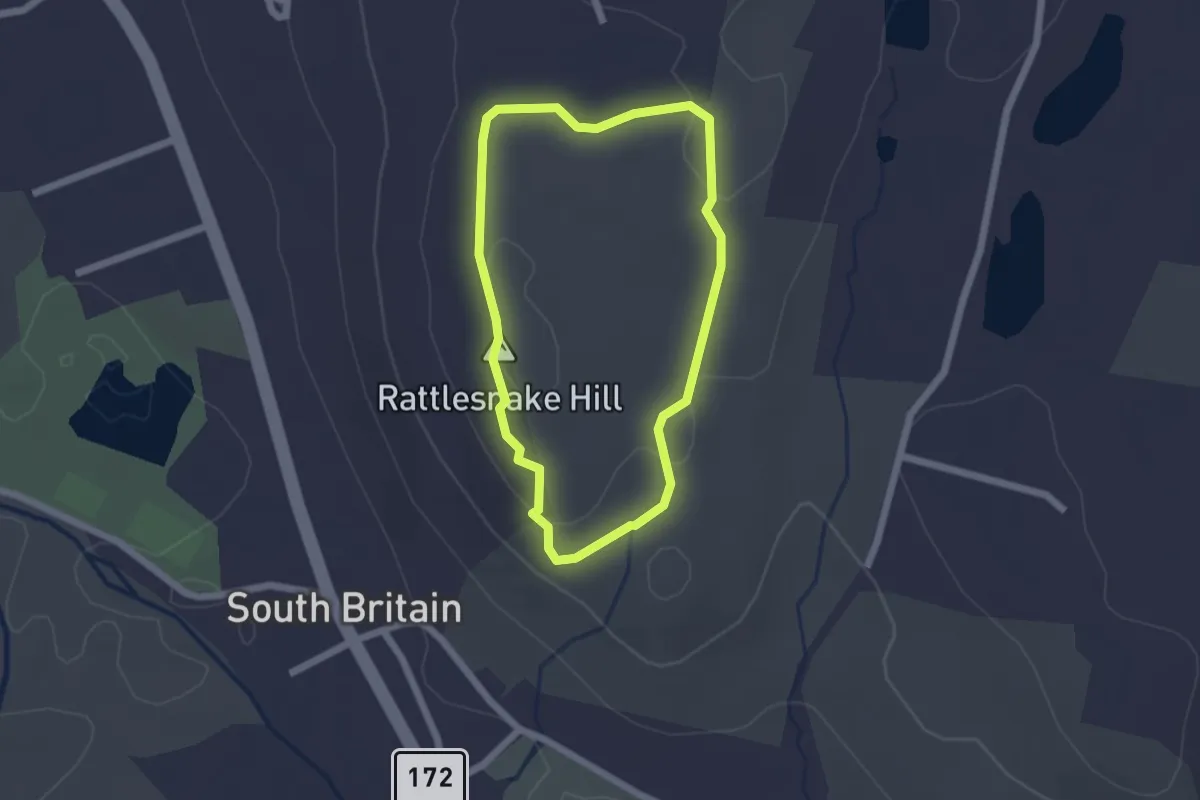
Easy · Summit
Red Trail
1.9 km · ↑ 59 m · 36 min · 3 km away
Easy · Trail
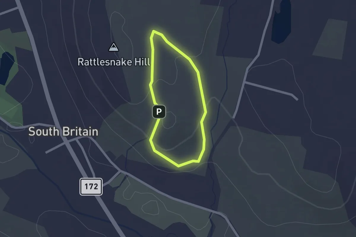
Blue Trail
1.5 km · ↑ 36 m · 27 min · 3 km away
Easy · Trail
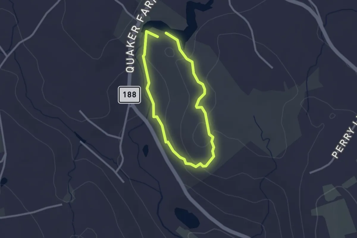
Red Trail
2.1 km · ↑ 67 m · 41 min · 5 km away
Easy · Trail
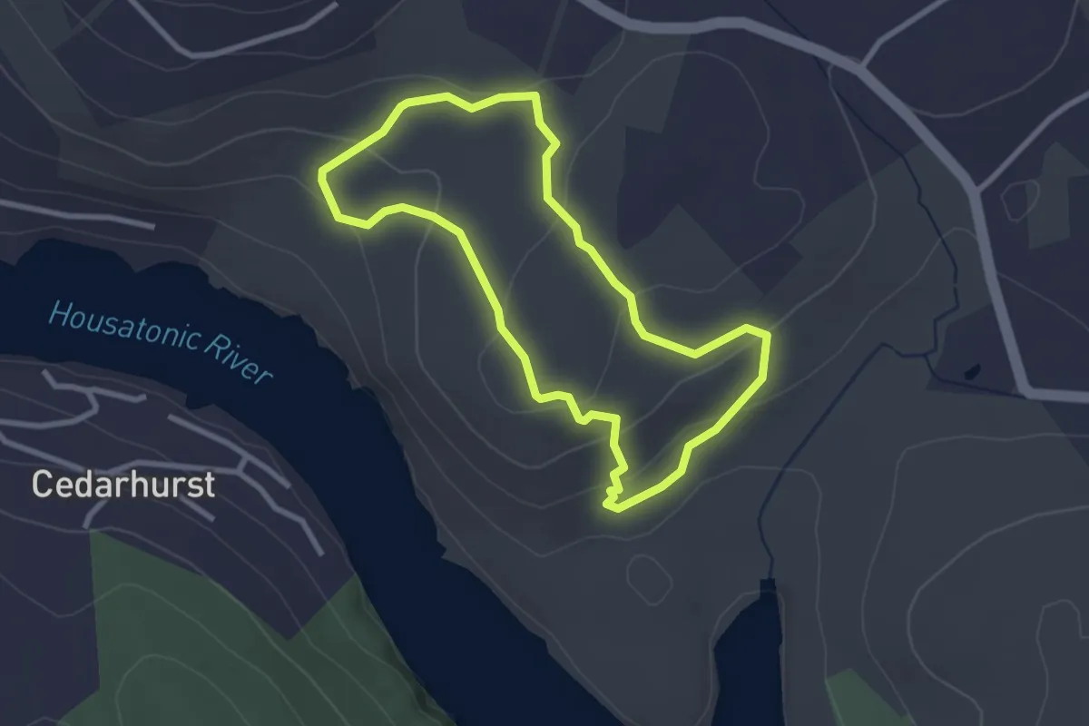
Miller Trail
2.9 km · ↑ 106 m · 57 min · 5 km away
Medium · Trail
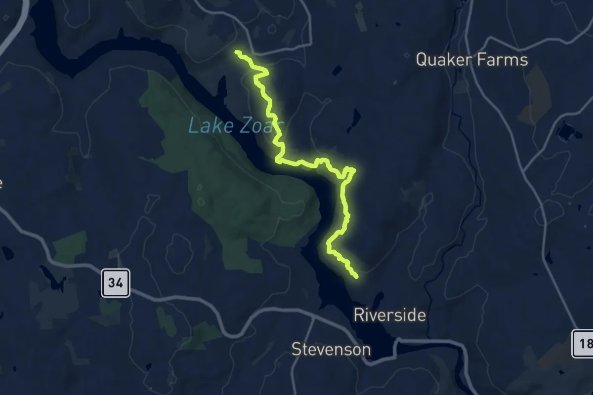
Pomperaug Trail
13.9 km · ↑ 653 m · 4 h 42 min · 6 km away
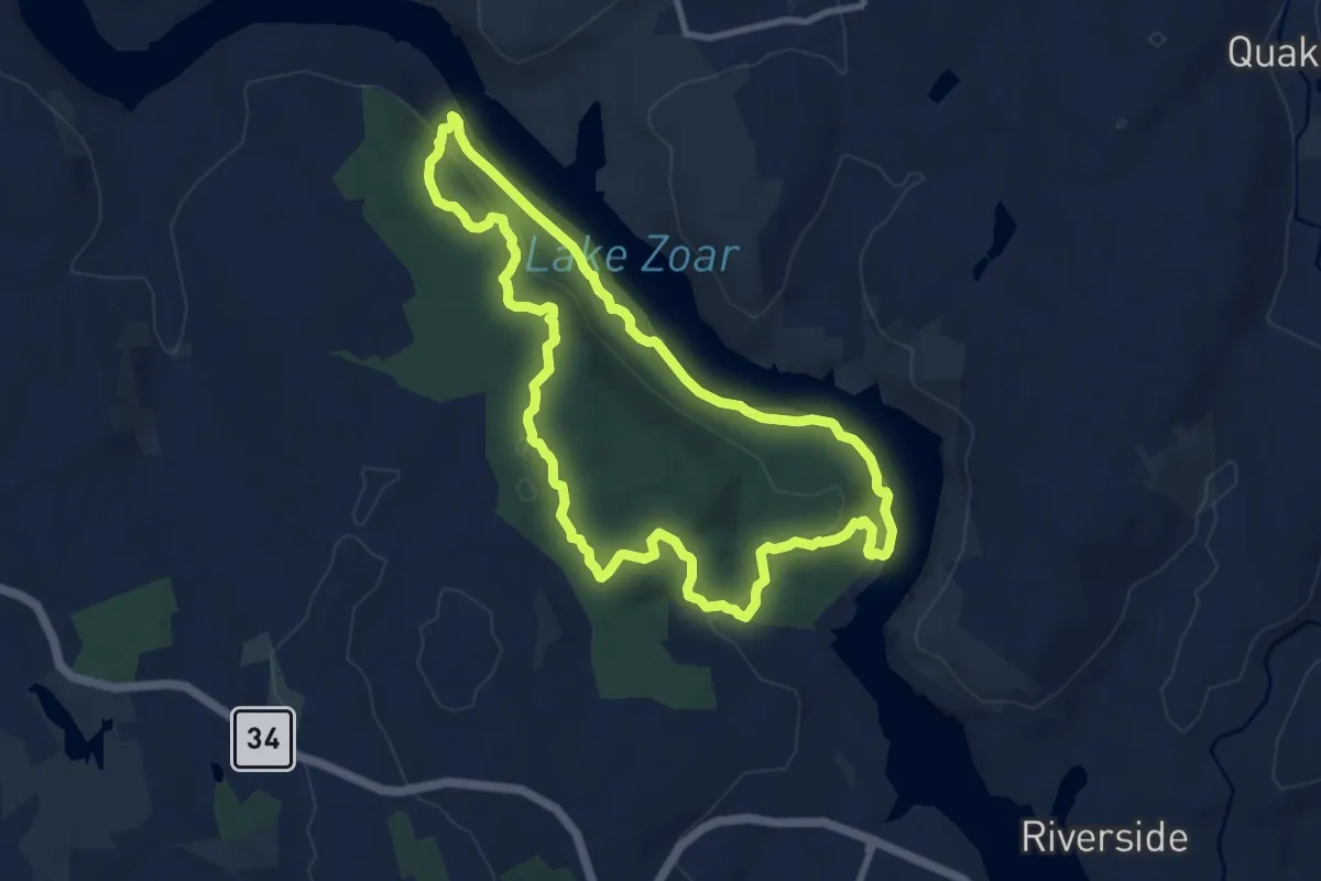
Medium · Trail
Zoar Trail
10.1 km · ↑ 343 m · 3 h 15 min · 7 km away
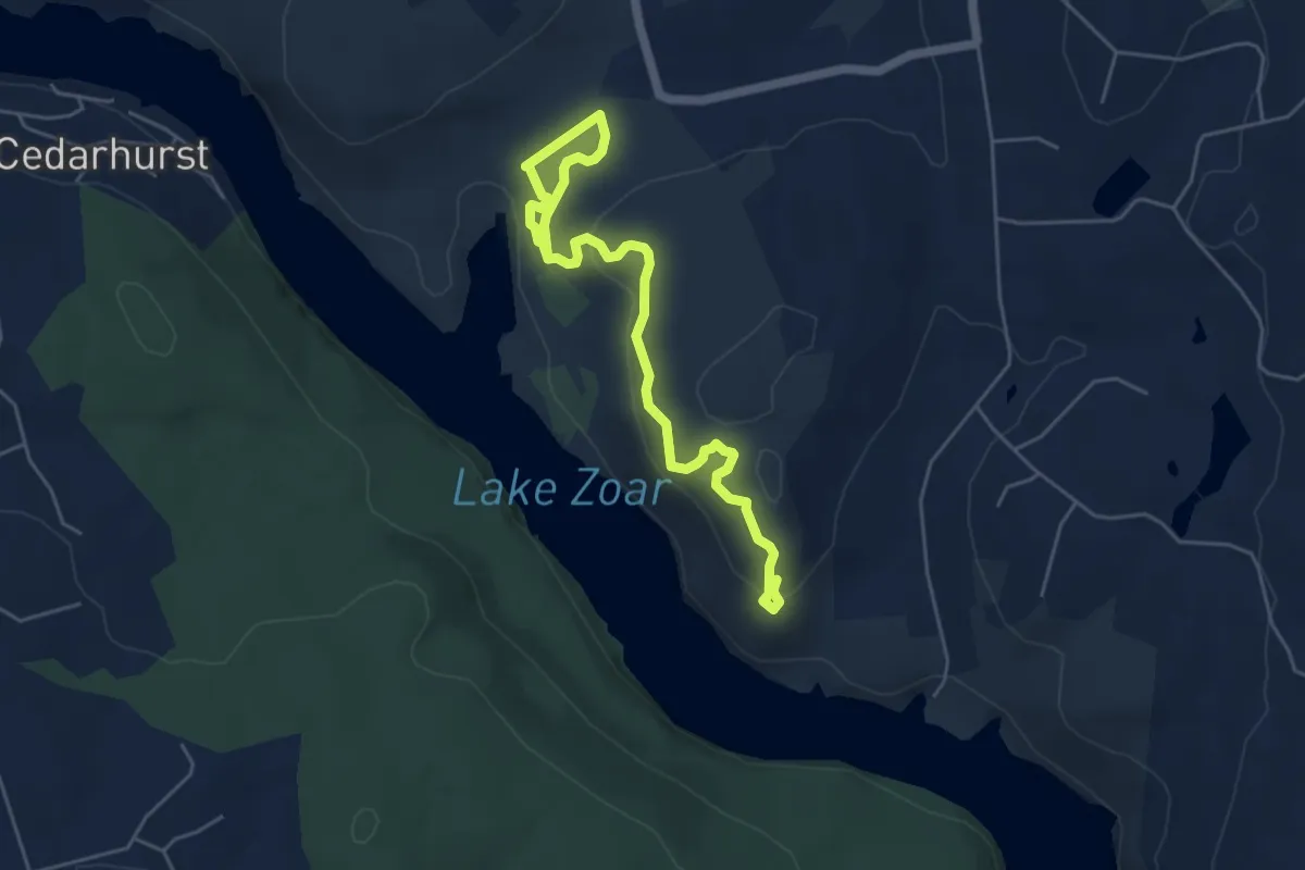
Easy · Trail
Crest Trail
6.7 km · ↑ 261 m · 2 h 9 min · 8 km away
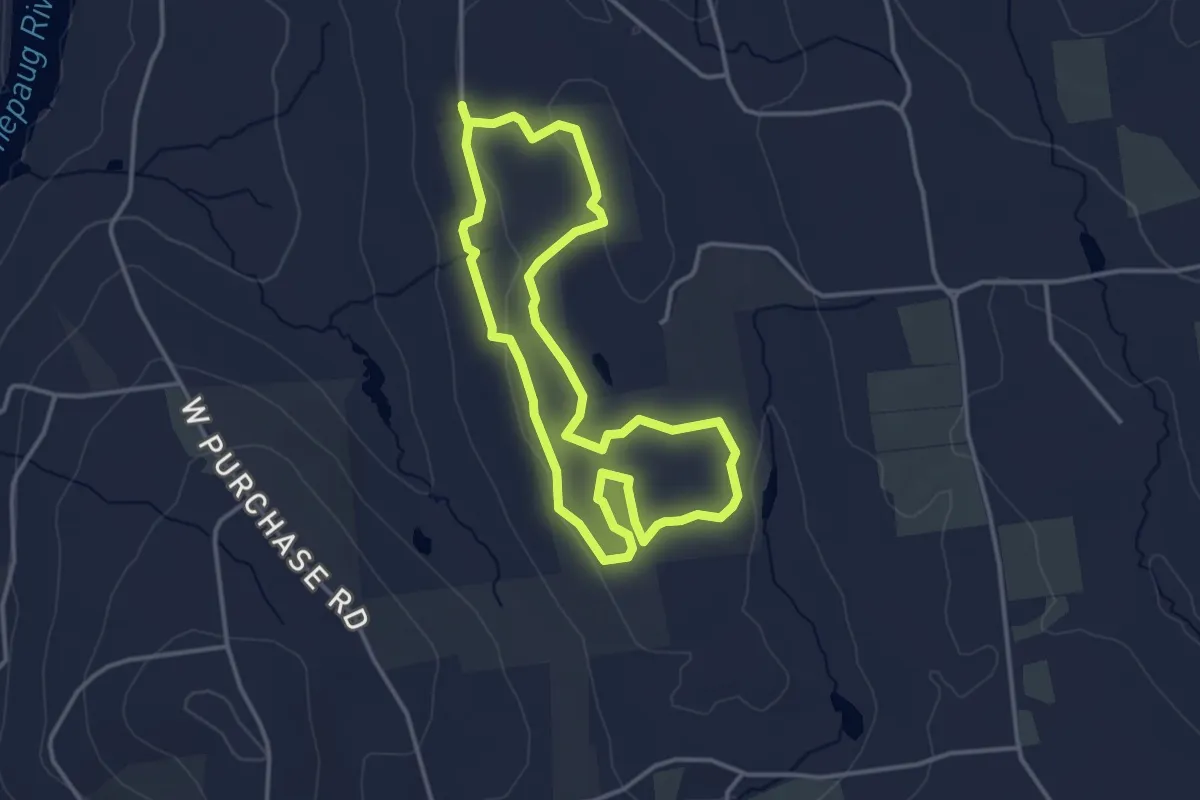
Easy · Trail
Bassett Loop Trail
3.7 km · ↑ 38 m · 1 h 1 min · 8 km away
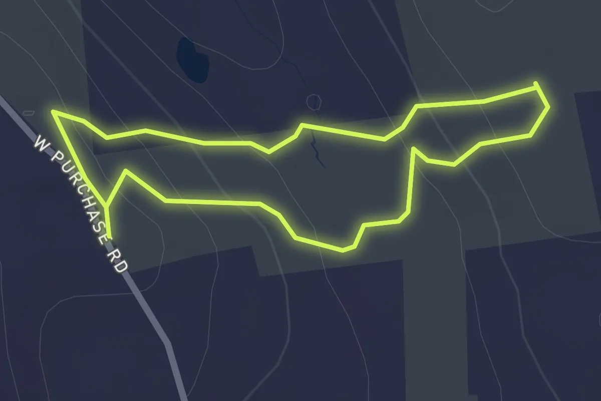
Easy · Trail
Ivers Loop Trail
1.8 km · ↑ 82 m · 38 min · 8 km away
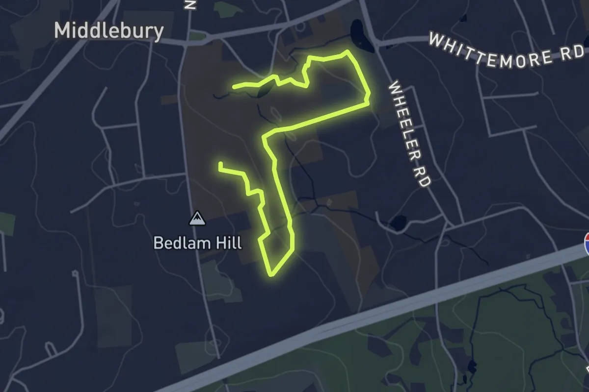
Easy · Trail
White Trail
5.7 km · ↑ 111 m · 1 h 36 min · 9 km away
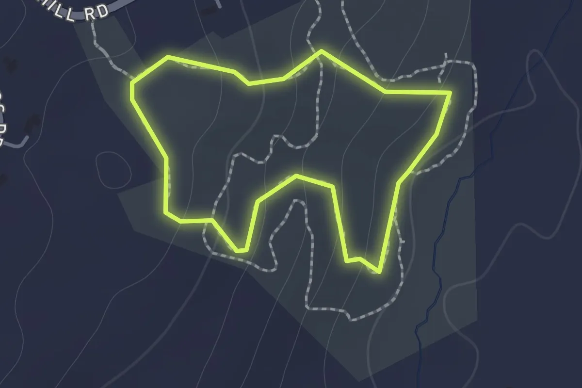
Easy · Trail
Blue Trail
1.2 km · ↑ 62 m · 25 min · 9 km away
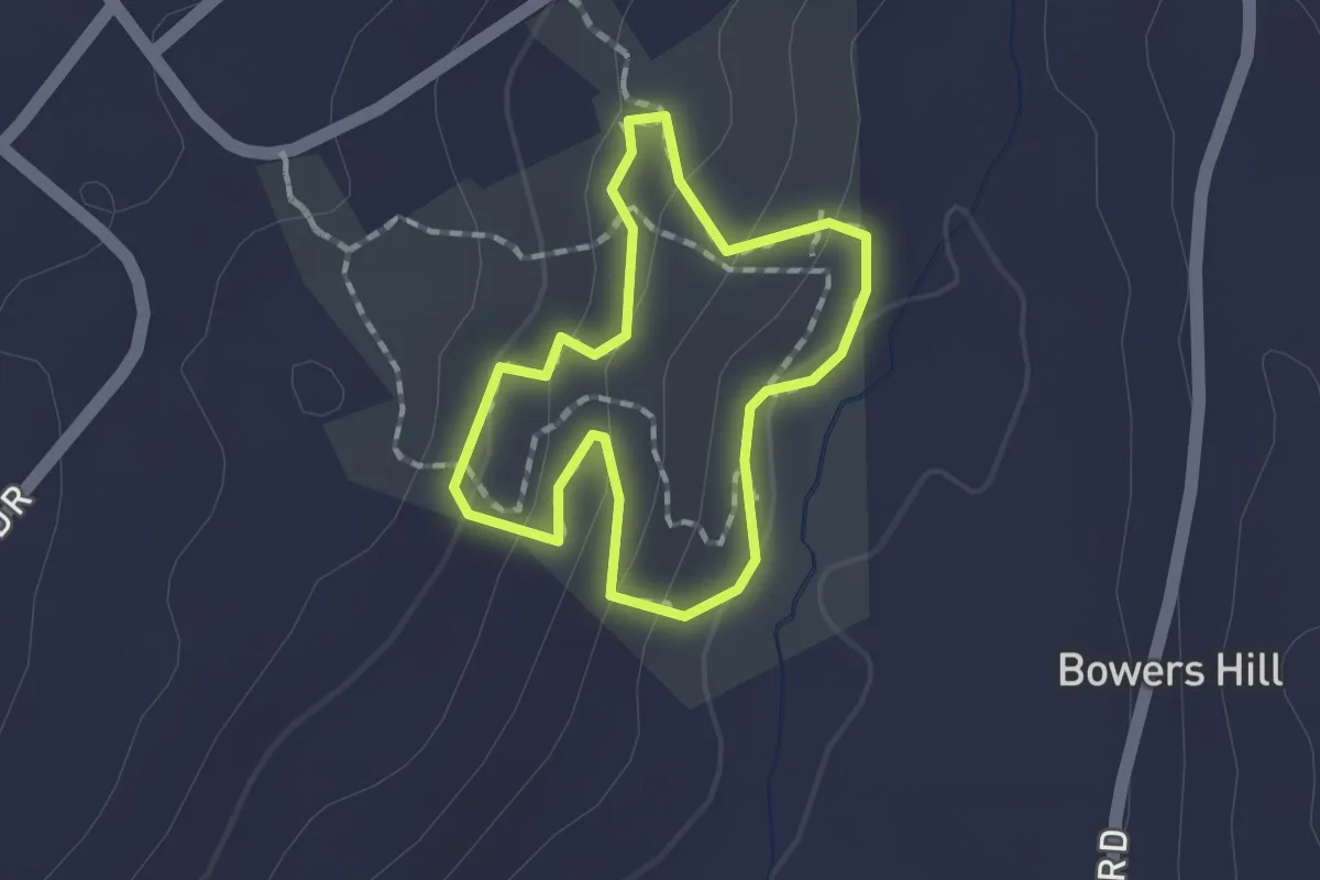
Easy · Trail
Red Trail
1.4 km · ↑ 55 m · 27 min · 9 km away
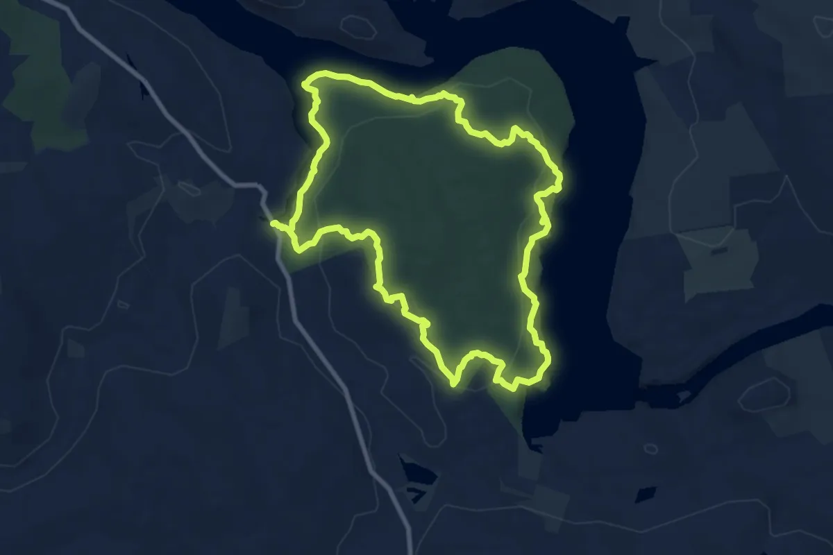
Medium · Trail
Lillinoah Trail
8.8 km · ↑ 335 m · 2 h 55 min · 10 km away
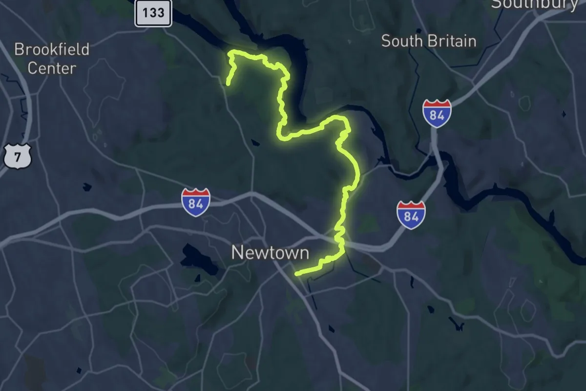
Medium · Trail
Al's Trail
16.0 km · ↑ 409 m · 4 h 55 min · 11 km away
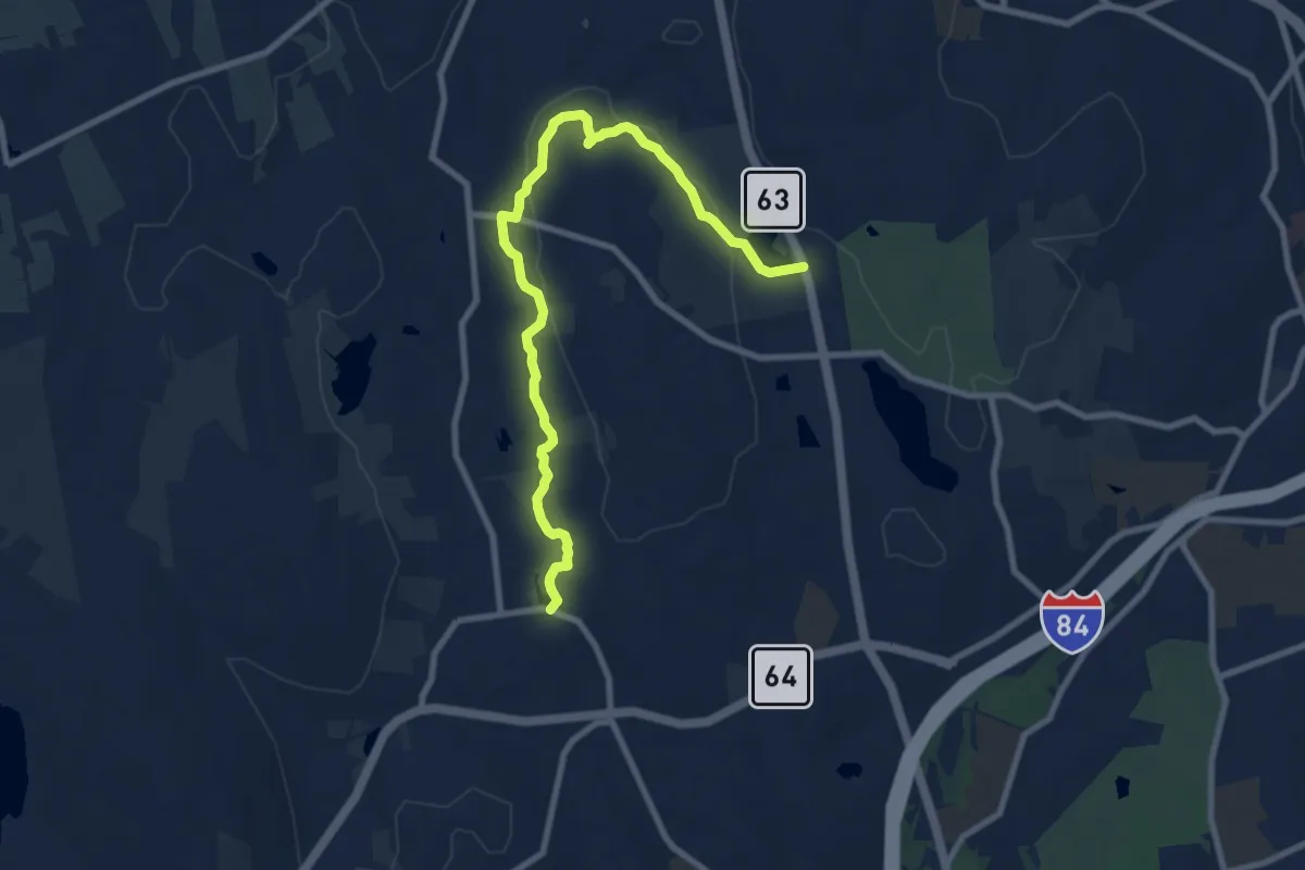
Medium · Trail
Foote Path
10.4 km · ↑ 144 m · 2 h 47 min · 11 km away
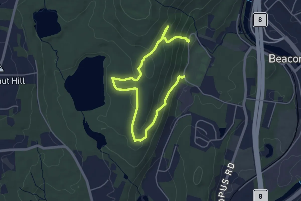
Easy · Trail
Beacon Falls Yellow Trail
5.8 km · ↑ 266 m · 1 h 56 min · 12 km away
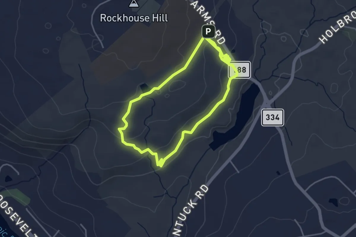
Easy · Trail
Blue Trail
7.1 km · ↑ 158 m · 2 h 1 min · 13 km away
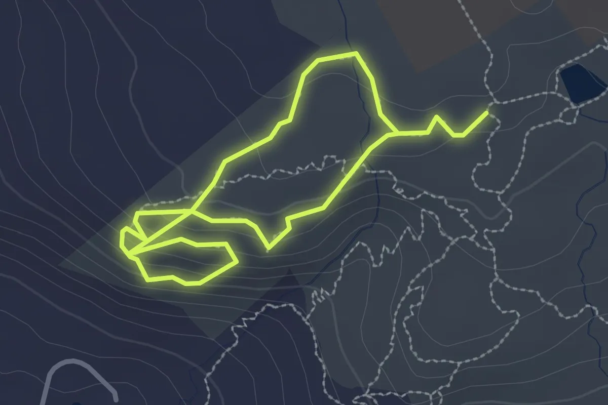
Easy · Trail
White-Yellow Trail
4.9 km · ↑ 137 m · 1 h 28 min · 13 km away
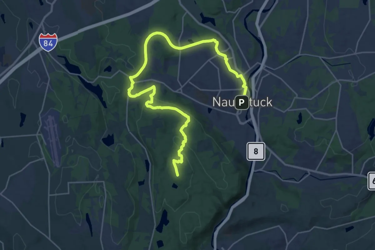
Demanding · Summit
Mission 22 Trail
28.8 km · ↑ 518 m · 7 h 55 min · 13 km away
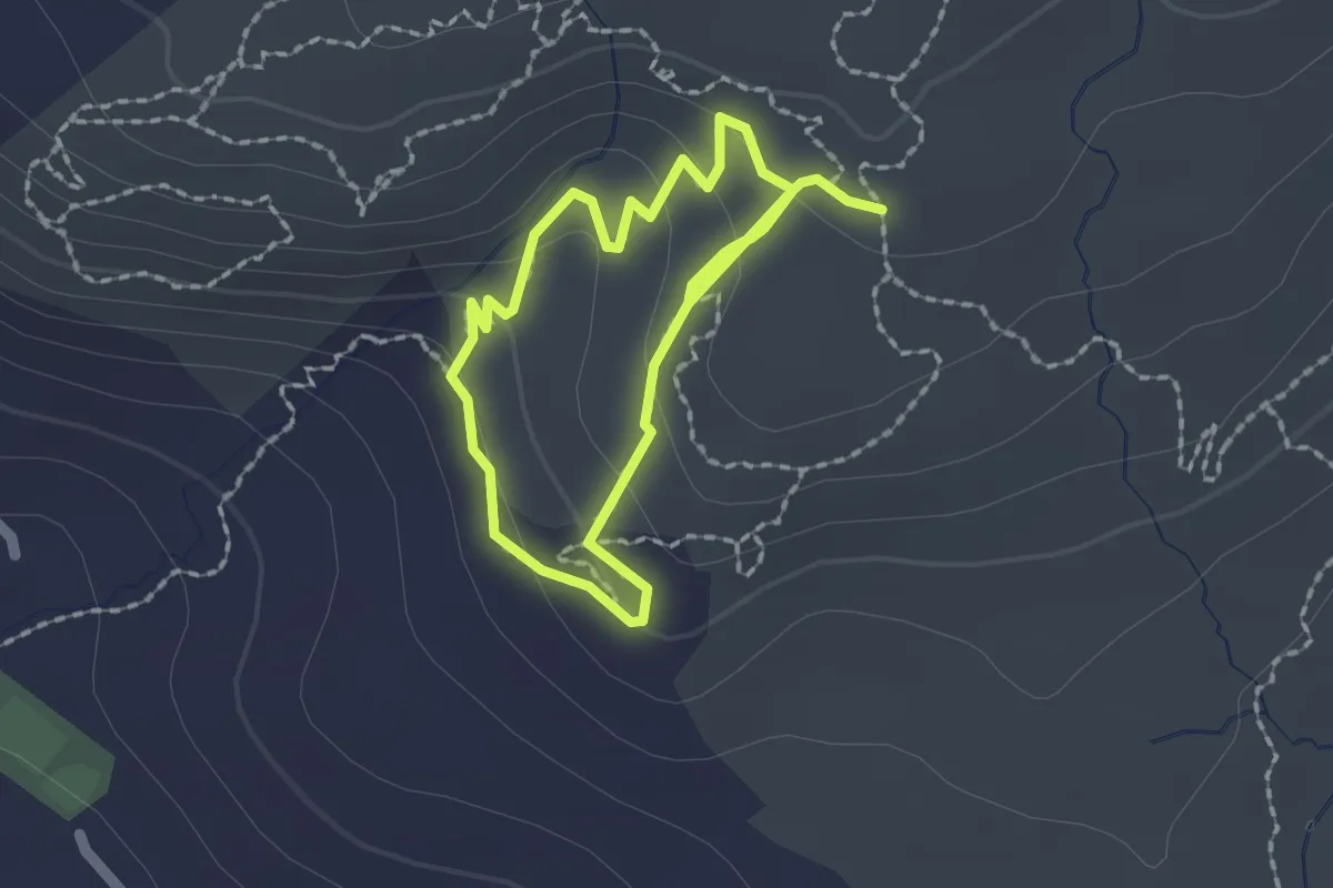
Easy · Trail
Green-Yellow Trail
3.4 km · ↑ 115 m · 1 h 3 min · 13 km away
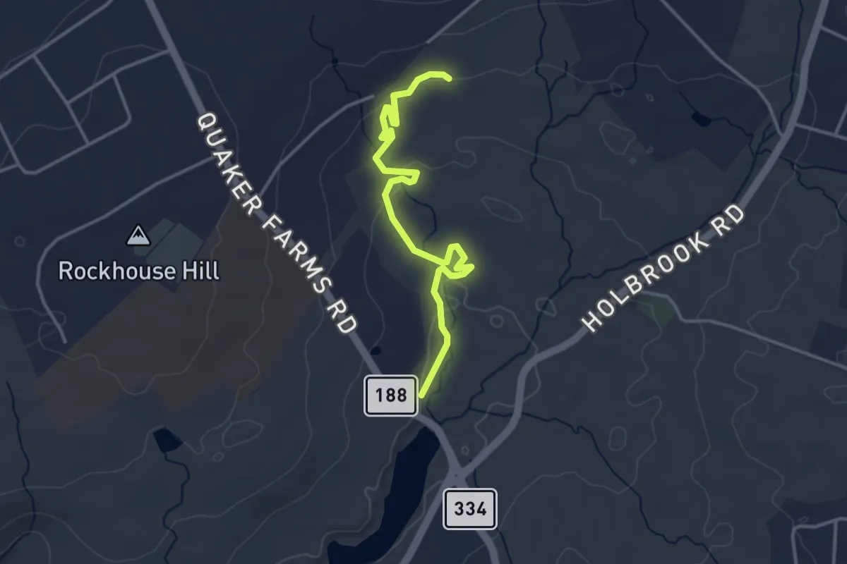
Easy · Trail
Lallement
4.0 km · ↑ 51 m · 1 h 3 min · 13 km away
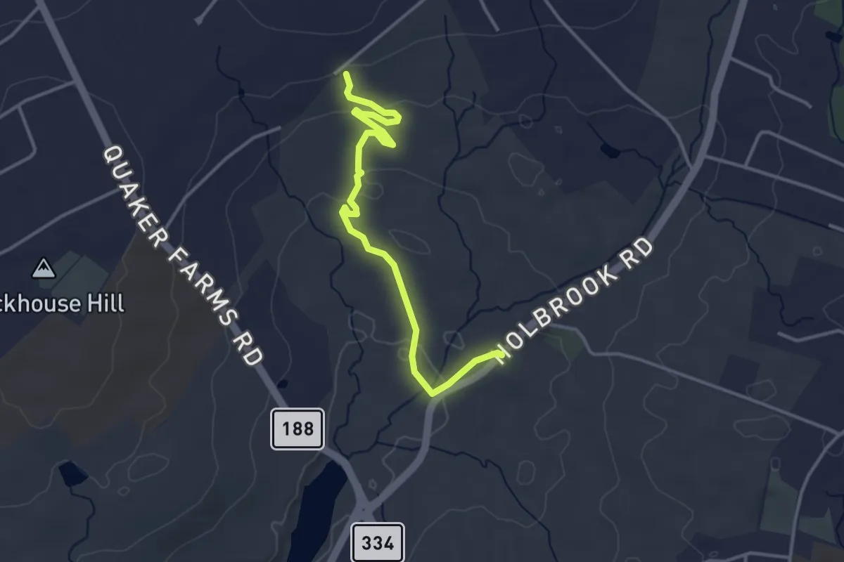
Easy · Trail
Rolling Coal
3.9 km · ↑ 66 m · 1 h 4 min · 13 km away
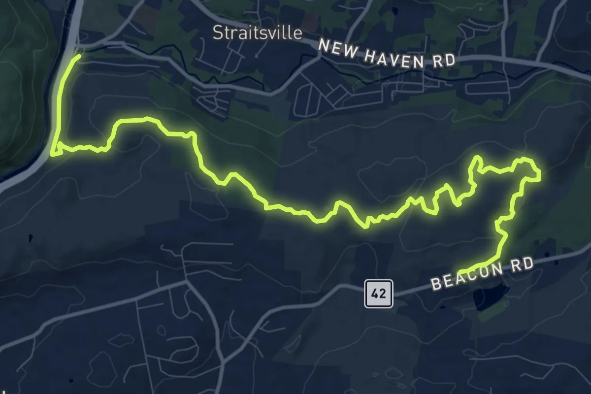
Medium · Trail
Naugatuck Trail
16.7 km · ↑ 427 m · 4 h 52 min · 14 km away
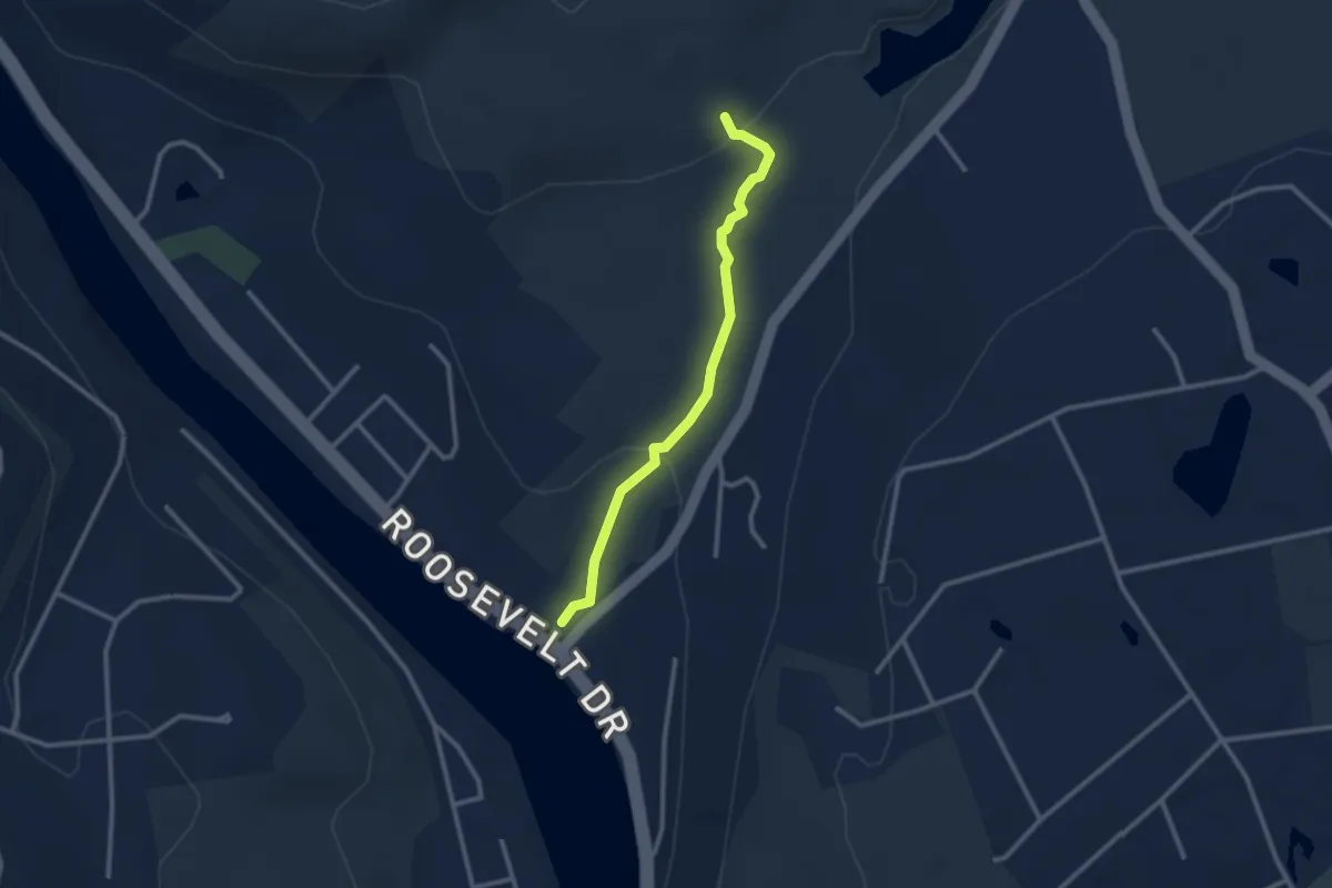
Easy · Trail
White Trail
2.8 km · ↑ 87 m · 51 min · 14 km away
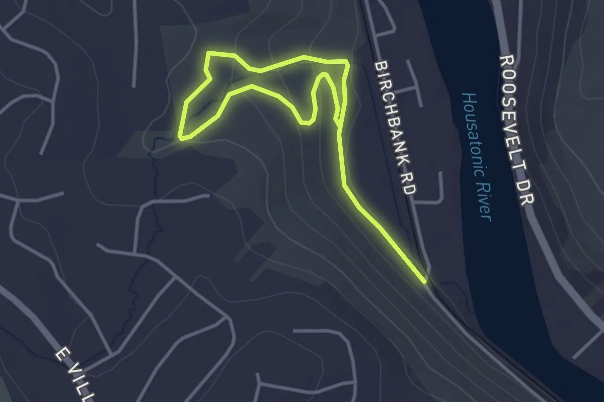
Easy · Trail
Birchbank Trail
5.0 km · ↑ 157 m · 1 h 31 min · 15 km away