Trails near St. George
43 hikes starting within 15 km, nearest first.
Nearest first
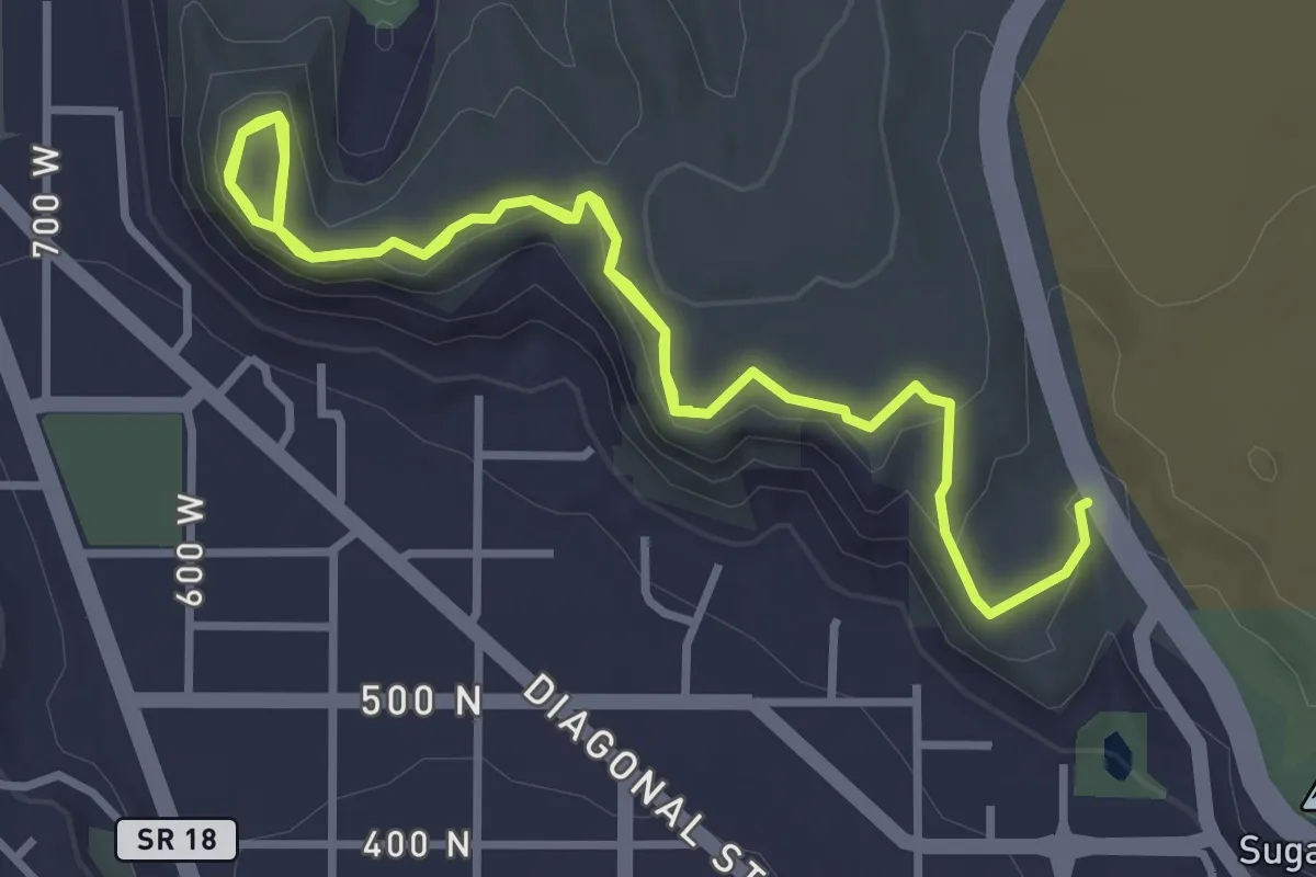
Easy · Trail
Owen's Loop
6.5 km · ↑ 182 m · 1 h 56 min · 1 km away
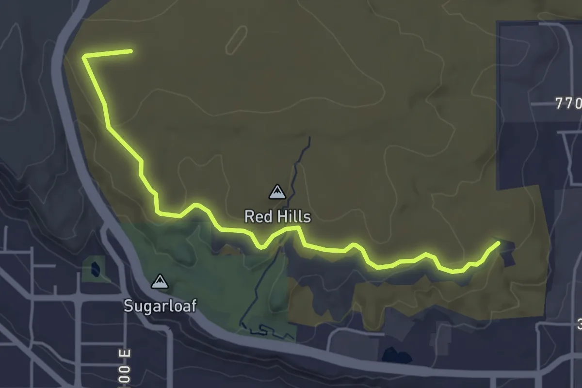
Easy · Trail
Pioneer Rim
5.3 km · ↑ 93 m · 1 h 27 min · 2 km away
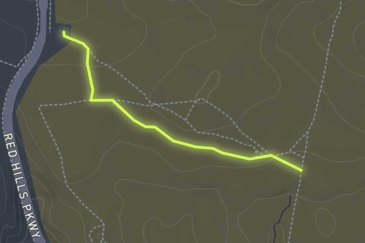
Easy · Trail
Pioneer Hills
2.3 km · ↑ 19 m · 35 min · 2 km away
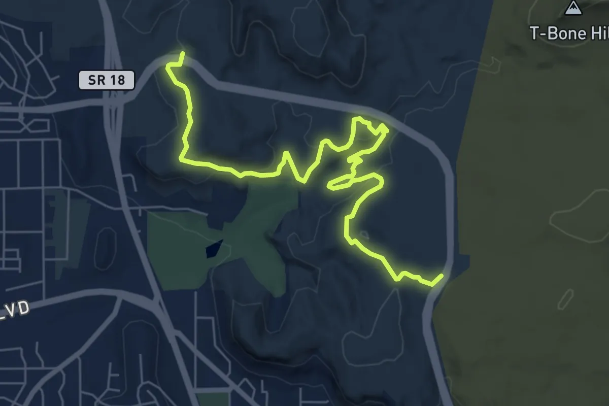
Medium · Trail
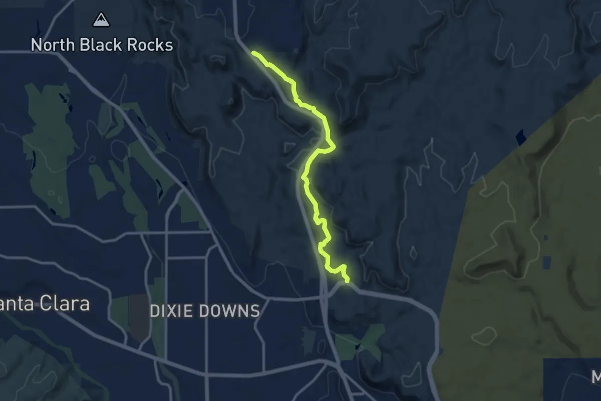
City Creek
8.5 km · ↑ 208 m · 2 h 28 min · 2 km away
Medium · Trail
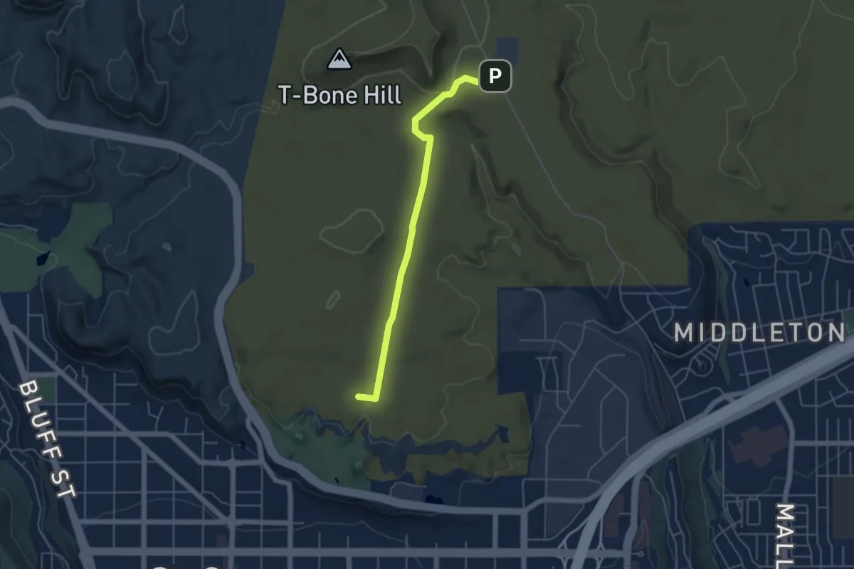
Rusty Cliffs
10.6 km · ↑ 199 m · 2 h 56 min · 3 km away
Easy · Summit
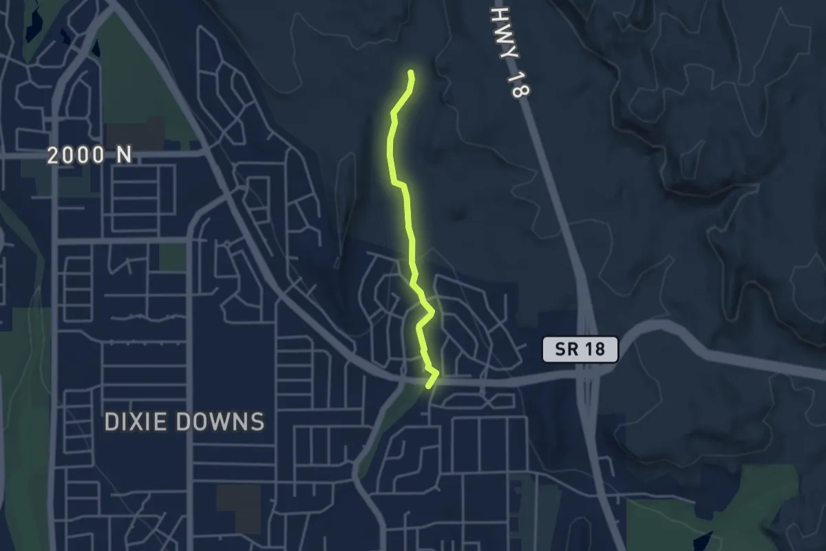
T-Bone
5.3 km · ↑ 107 m · 1 h 30 min · 4 km away
Easy · Trail
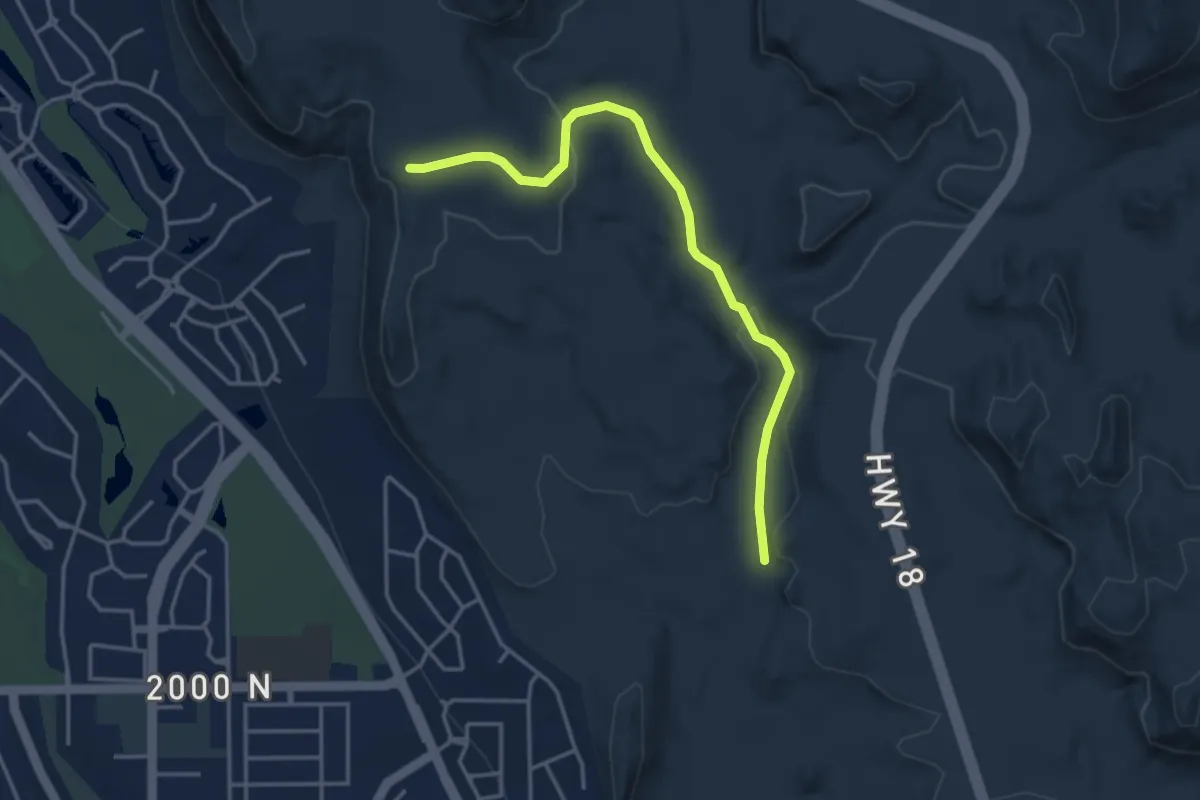
Halfway Wash
3.2 km · ↑ 47 m · 52 min · 4 km away
Easy · Trail
Beck Hill
4.5 km · ↑ 100 m · 1 h 17 min · 5 km away
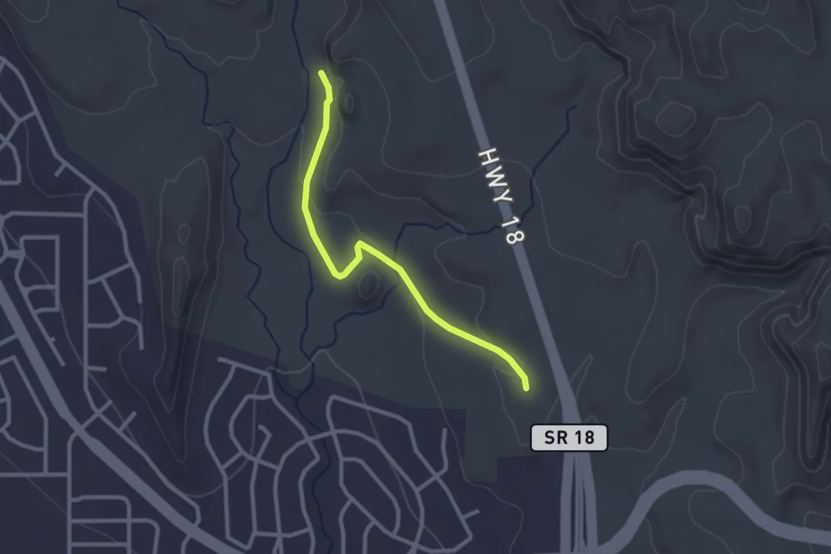
Easy · Trail
Chuckwalla
2.8 km · ↑ 49 m · 46 min · 5 km away
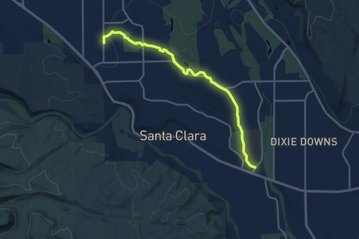
Medium · Trail
Lava Flow Trail
10.4 km · ↑ 74 m · 2 h 37 min · 5 km away
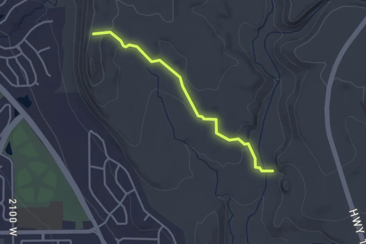
Easy · Trail
Turtle Wall
3.1 km · ↑ 80 m · 54 min · 6 km away
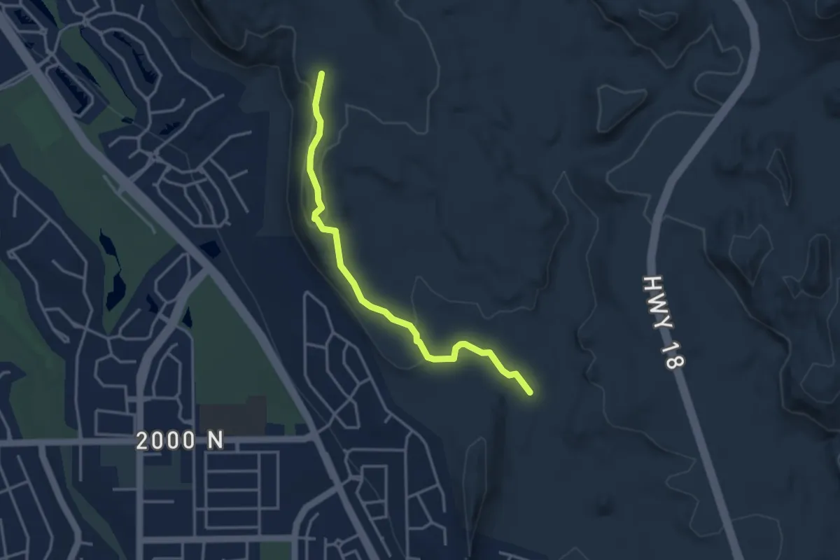
Easy · Trail
Paradise Rim
3.9 km · ↑ 93 m · 1 h 7 min · 6 km away
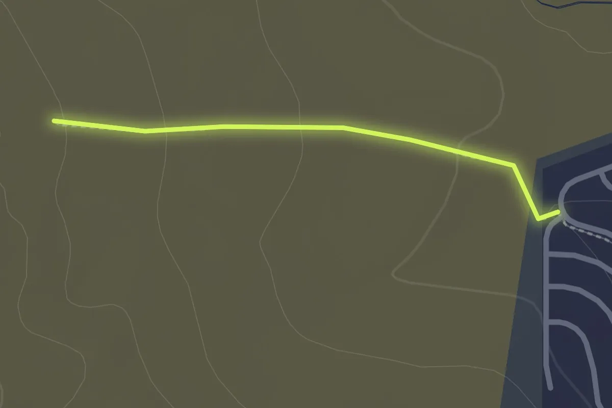
Easy · Trail
Cottontail
2.1 km · ↑ 39 m · 35 min · 7 km away
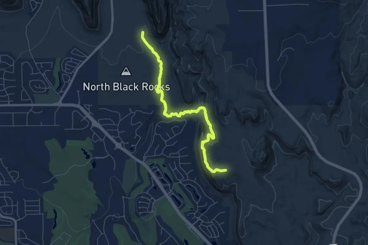
Easy · Trail
Scout Cave
7.4 km · ↑ 226 m · 2 h 20 min · 8 km away
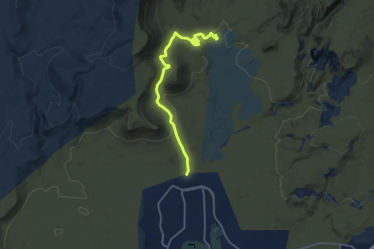
Medium · Trail
Mustang Pass
9.8 km · ↑ 218 m · 2 h 47 min · 8 km away
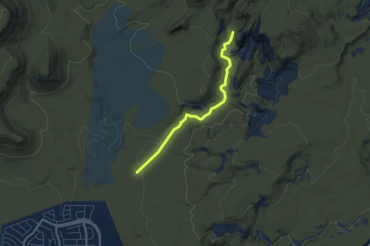
Easy · Trail
Bone Wash
5.8 km · ↑ 76 m · 1 h 32 min · 9 km away
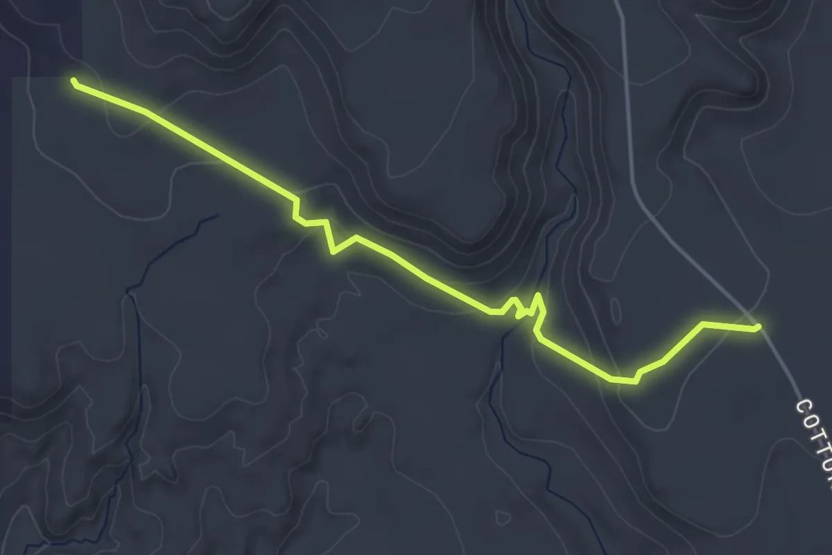
Easy · Trail
Winchester
5.2 km · ↑ 183 m · 1 h 38 min · 9 km away
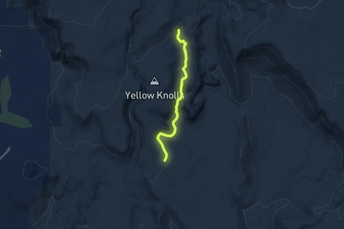
Easy · Trail
Yellow Knolls
6.1 km · ↑ 130 m · 1 h 44 min · 9 km away
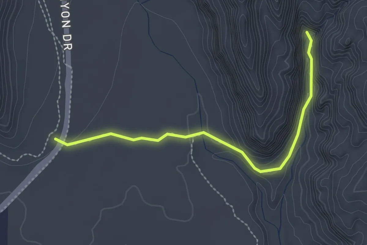
Easy · Trail
Johnson Canyon
2.8 km · ↑ 72 m · 49 min · 10 km away
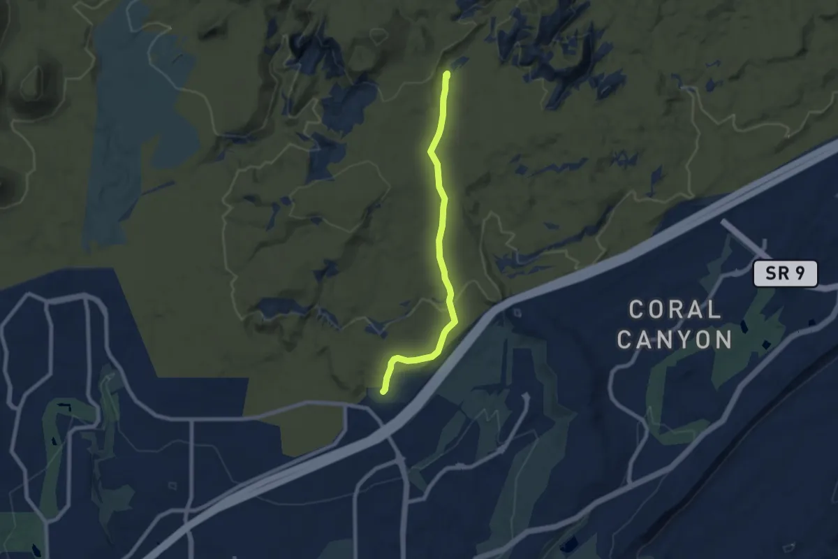
Easy · Trail
Grapevine
7.7 km · ↑ 121 m · 2 h 4 min · 10 km away
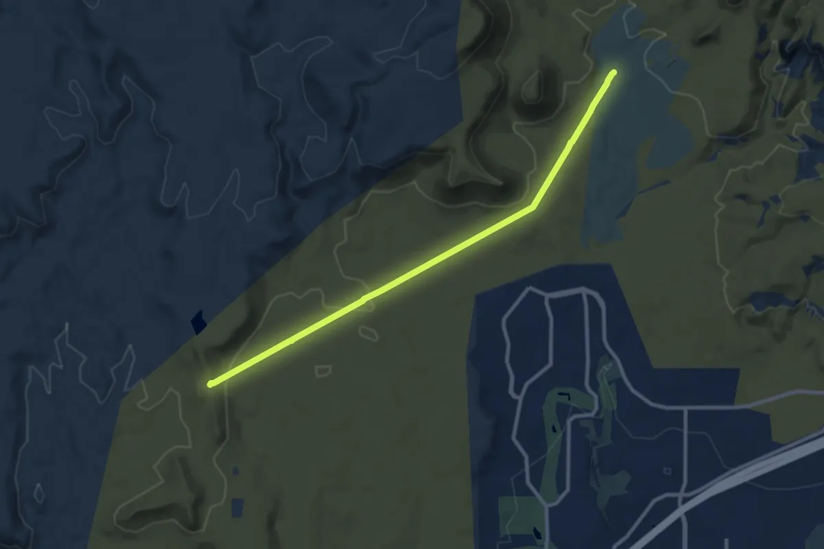
Medium · Summit
Middleton Powerline
11.2 km · ↑ 212 m · 3 h 6 min · 10 km away
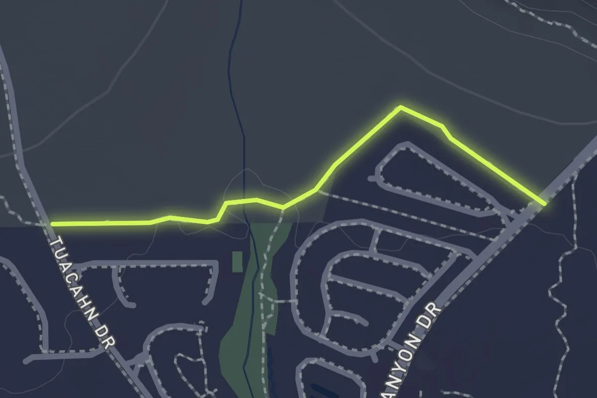
Easy · Trail
Toe Trail
2.0 km · ↑ 8 m · 30 min · 10 km away
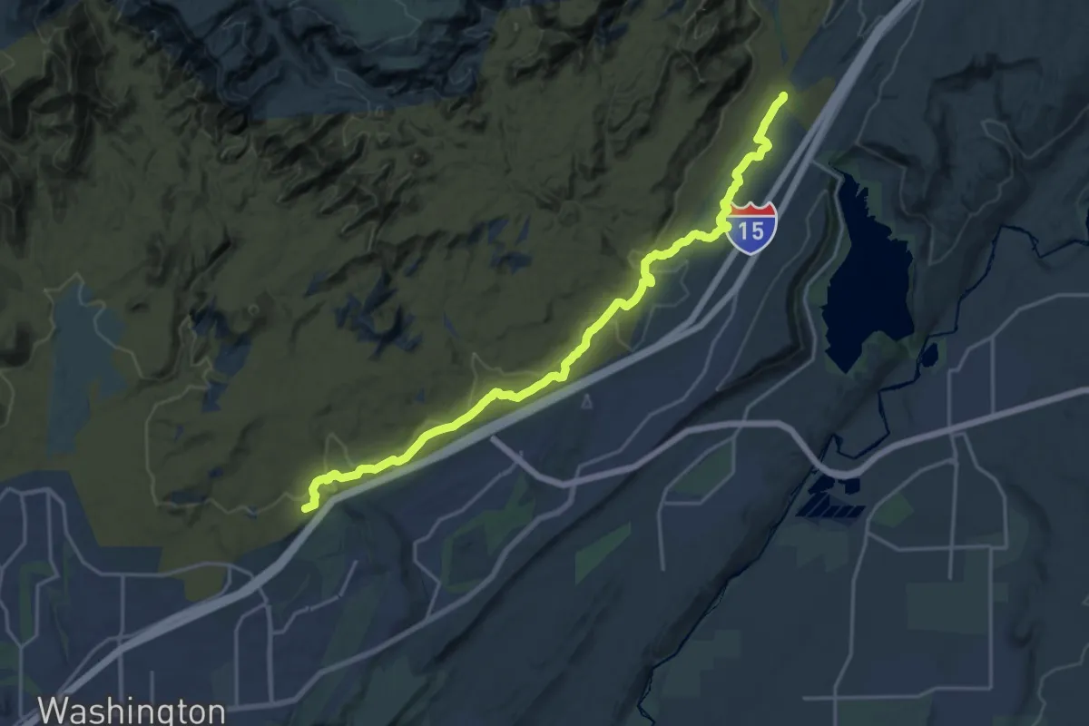
Demanding · Trail
Prospector
22.9 km · ↑ 328 m · 6 h 7 min · 11 km away
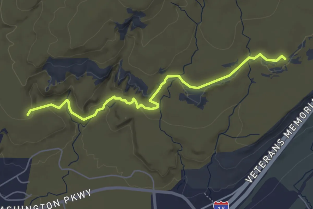
Easy · Trail
Dino Cliffs Trail
5.7 km · ↑ 113 m · 1 h 35 min · 11 km away
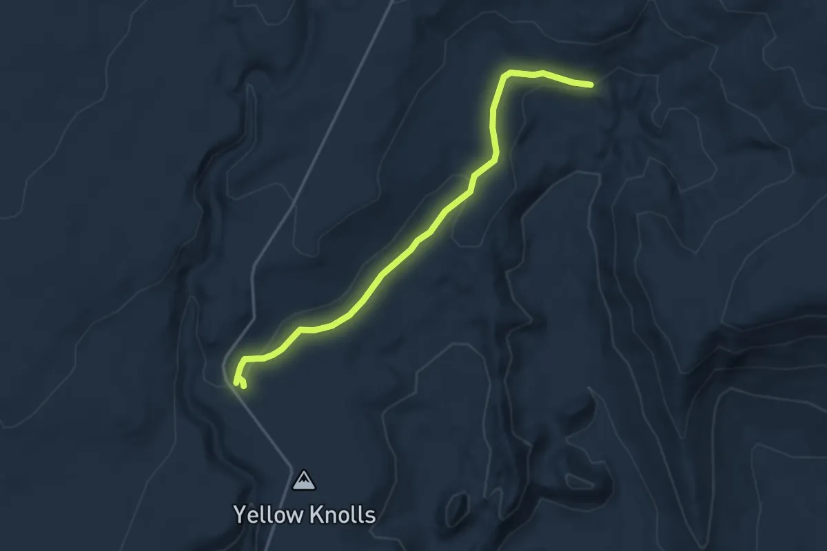
Easy · Trail
High Point
4.4 km · ↑ 72 m · 1 h 11 min · 11 km away
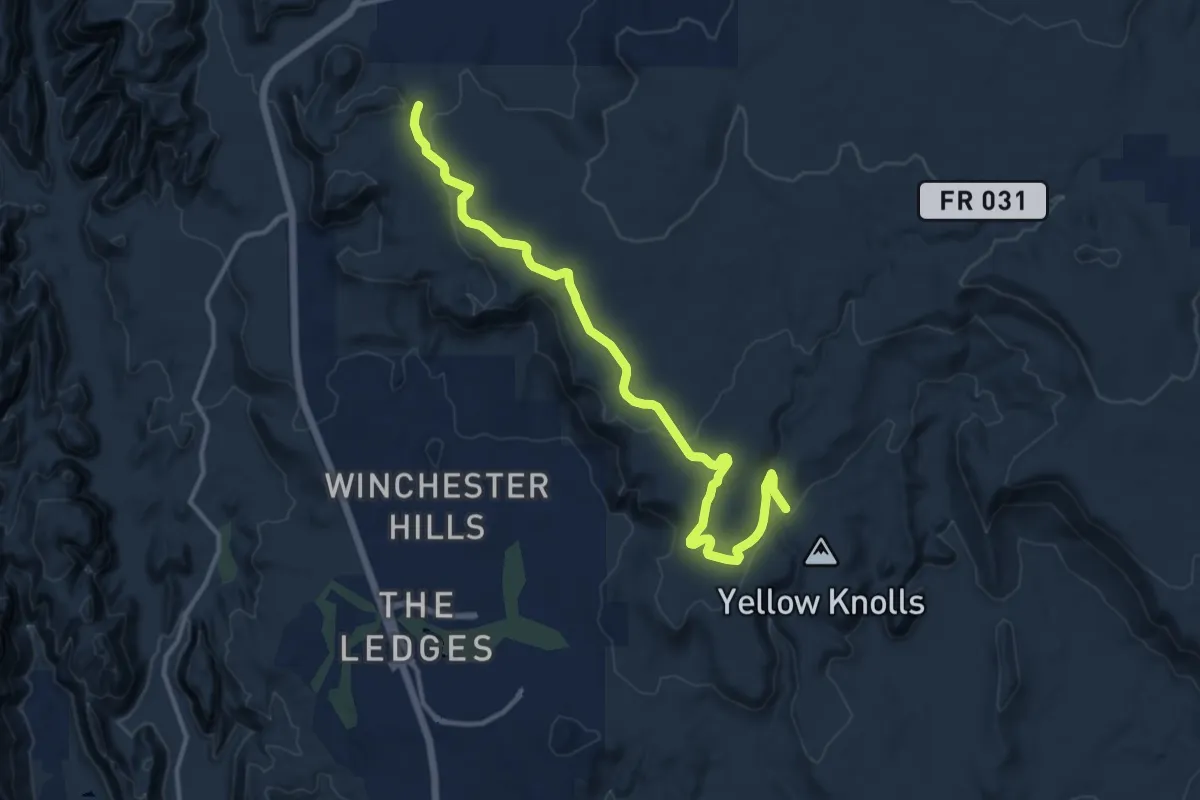
Medium · Trail
Lange's Dugway
15.4 km · ↑ 266 m · 4 h 13 min · 11 km away
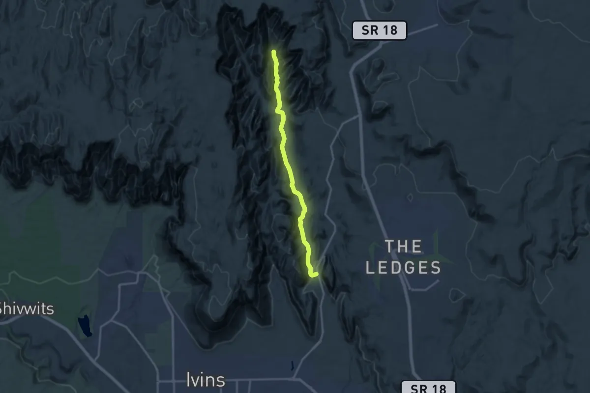
Medium · Trail
West Canyon Road
12.9 km · ↑ 138 m · 3 h 21 min · 11 km away
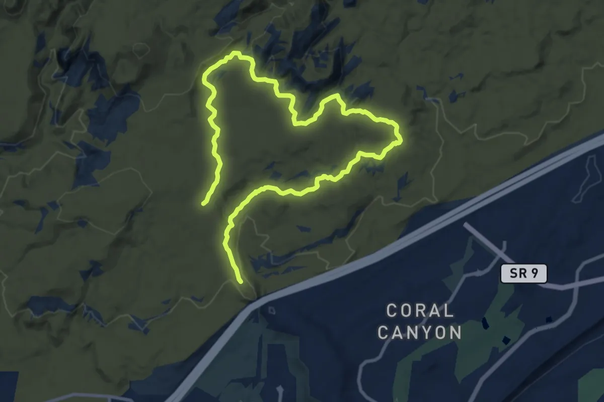
Medium · Trail
Bracken's Loop
16.3 km · ↑ 316 m · 4 h 32 min · 11 km away
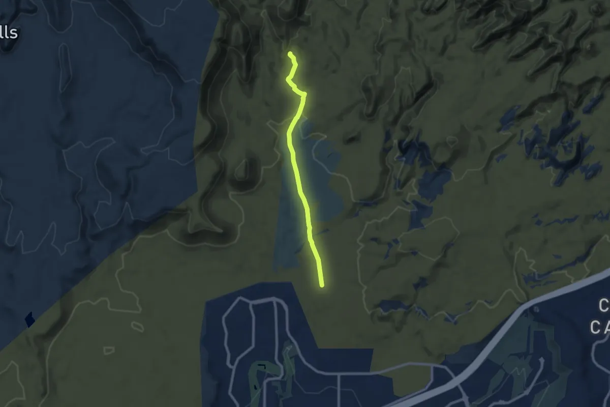
Medium · Trail
Mill Creek
8.5 km · ↑ 128 m · 2 h 17 min · 11 km away
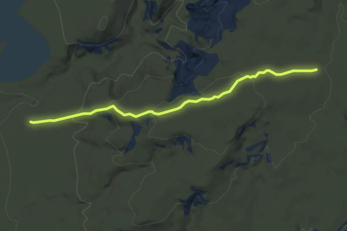
Easy · Trail
Sand Hill
5.5 km · ↑ 221 m · 1 h 47 min · 11 km away
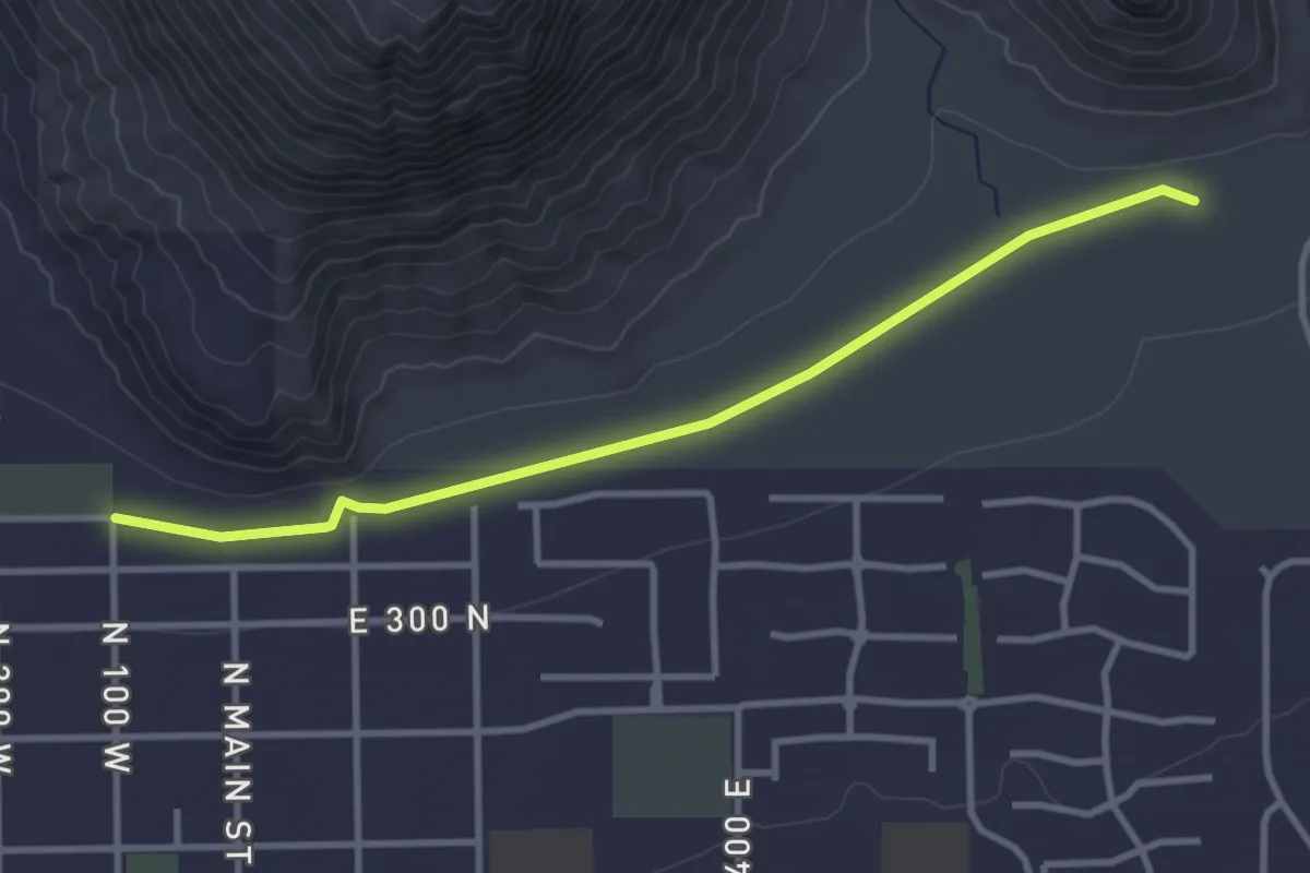
Easy · Trail
Berm
4.0 km · ↑ 4 m · 57 min · 11 km away
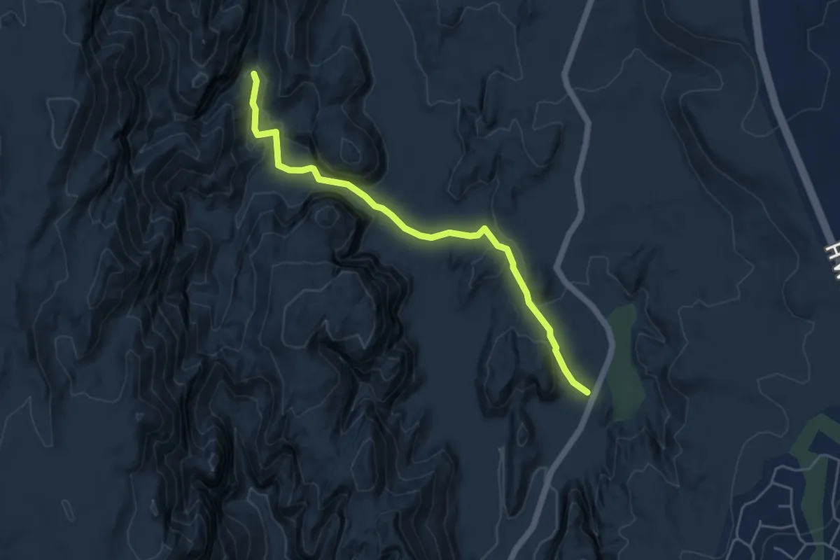
Easy · Trail
Red Sands
5.3 km · ↑ 98 m · 1 h 28 min · 12 km away
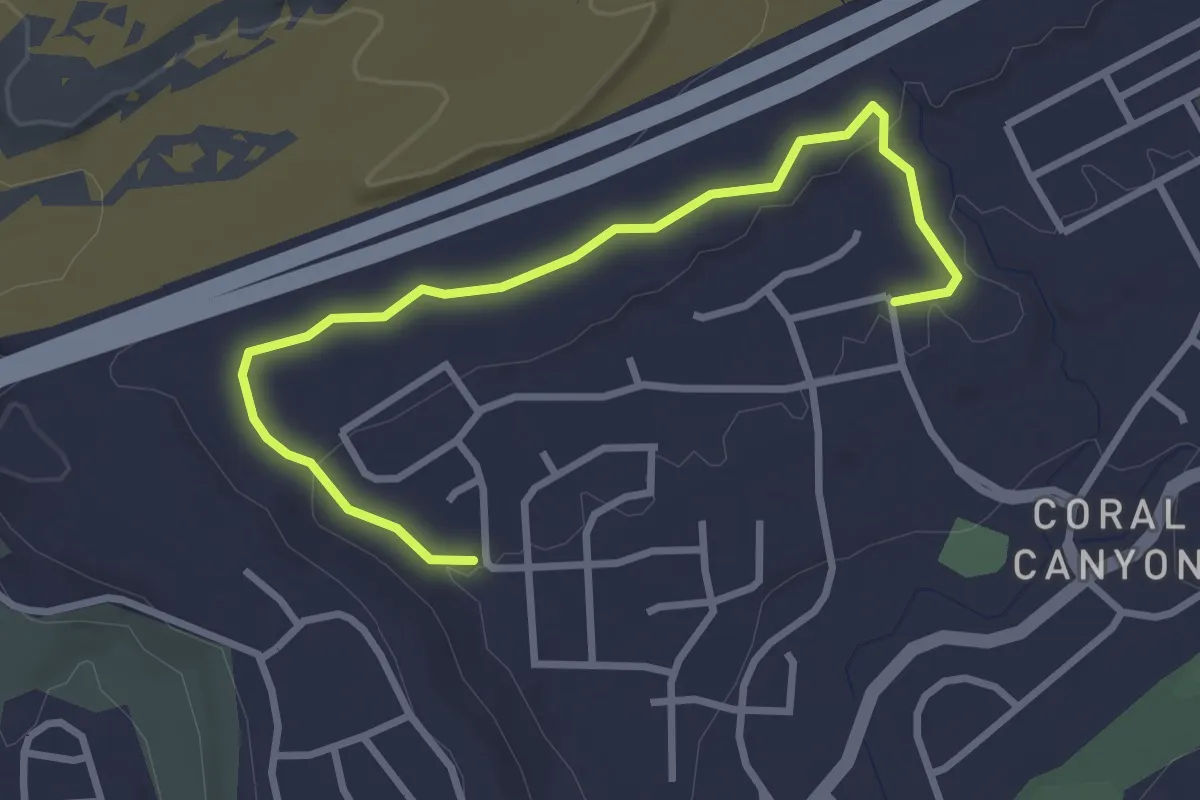
Easy · Trail
Coral Canyon
3.9 km · ↑ 61 m · 1 h 4 min · 12 km away
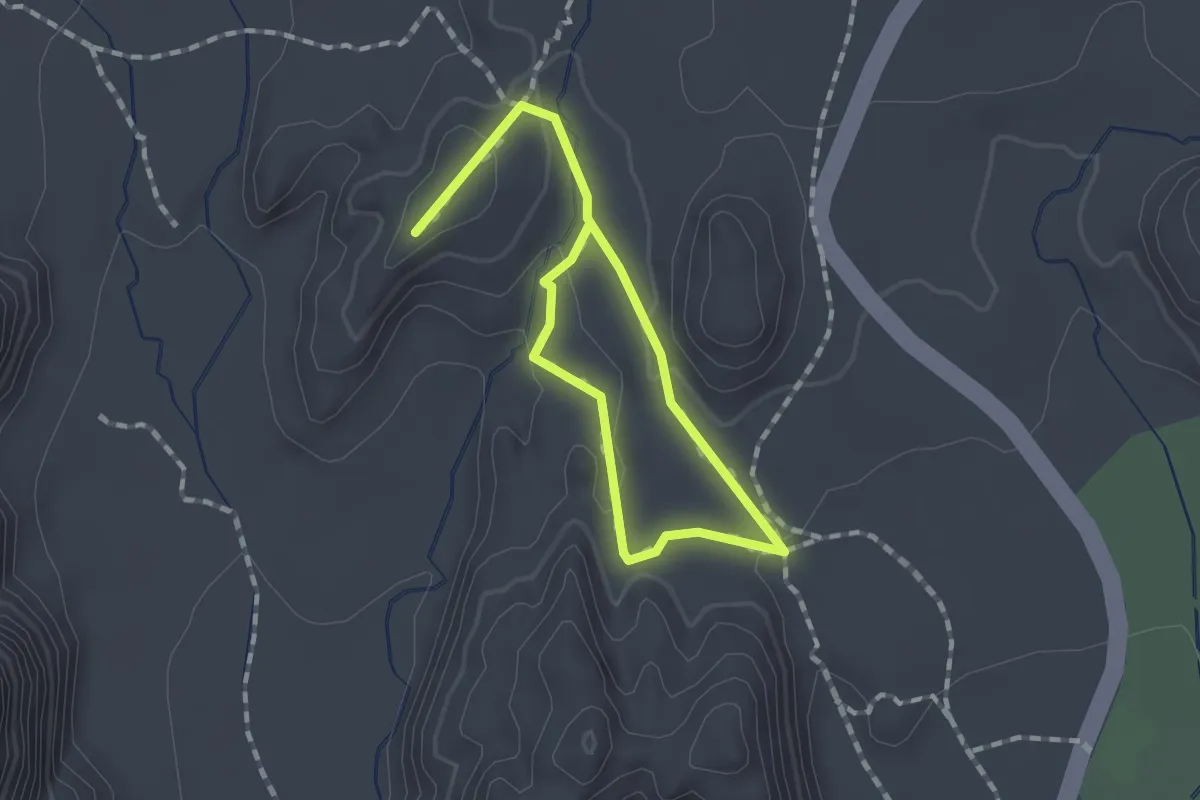
Easy · Trail
Hidden Pinyon
2.3 km · ↑ 61 m · 40 min · 12 km away
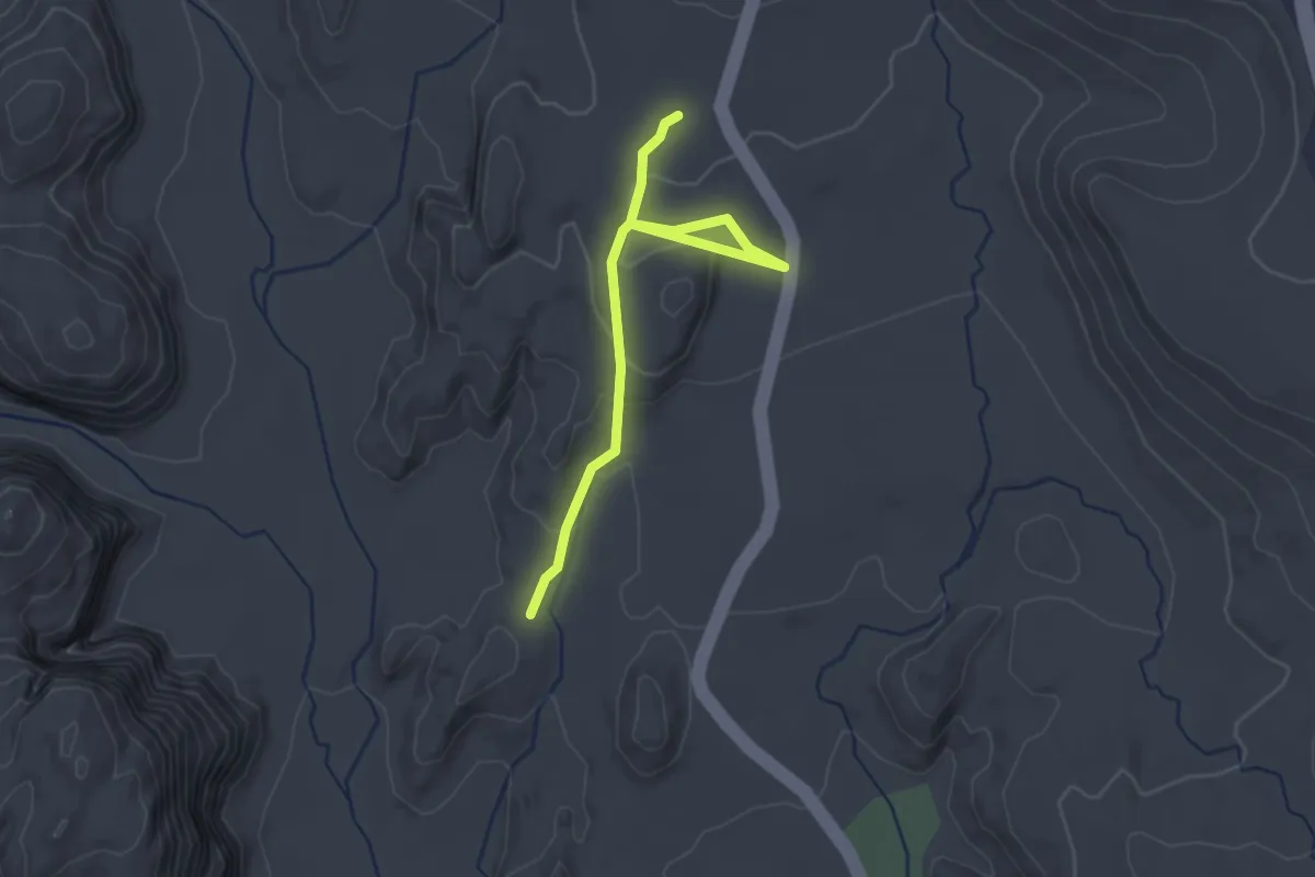
Easy · Trail
Petrified Dunes
2.8 km · ↑ 106 m · 54 min · 12 km away
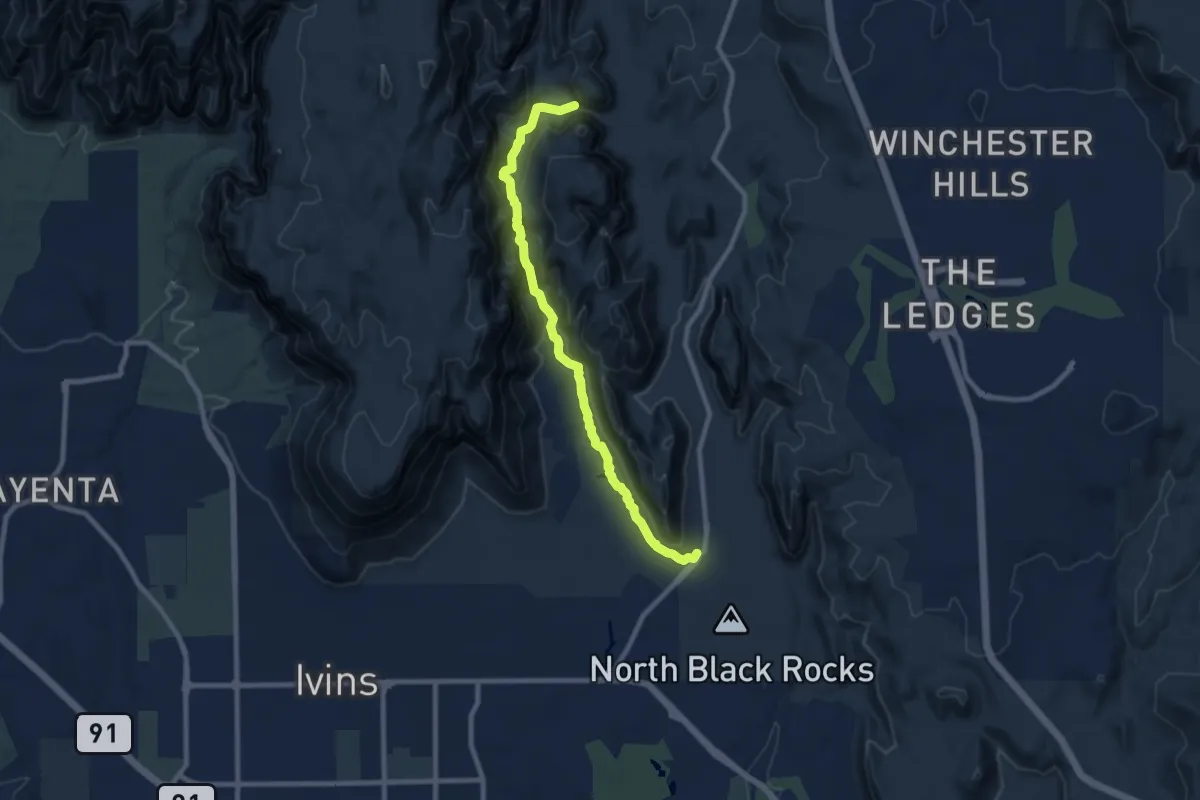
Medium · Trail
Padre Canyon
10.1 km · ↑ 400 m · 3 h 14 min · 13 km away
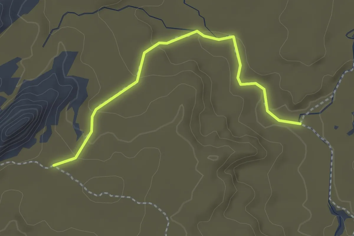
Easy · Trail
Coachwhip
2.3 km · ↑ 65 m · 41 min · 13 km away
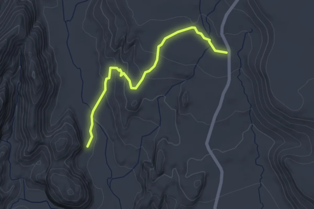
Easy · Trail
Lava Flow
4.0 km · ↑ 130 m · 1 h 14 min · 14 km away
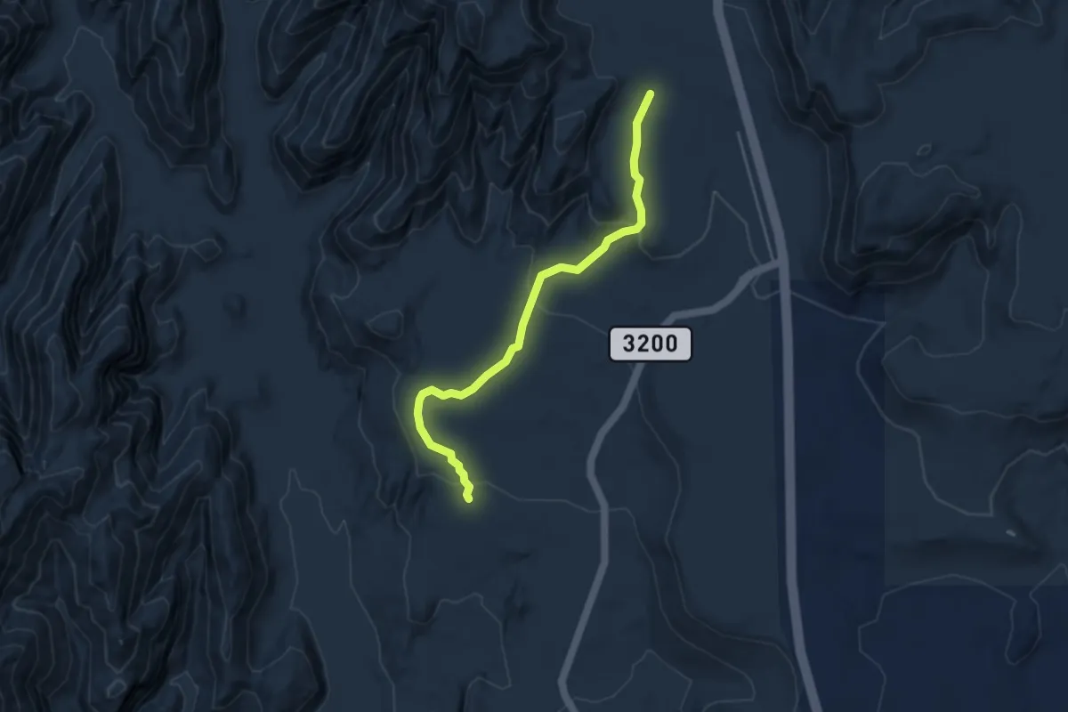
Easy · Trail
Whiterocks
4.6 km · ↑ 128 m · 1 h 21 min · 14 km away
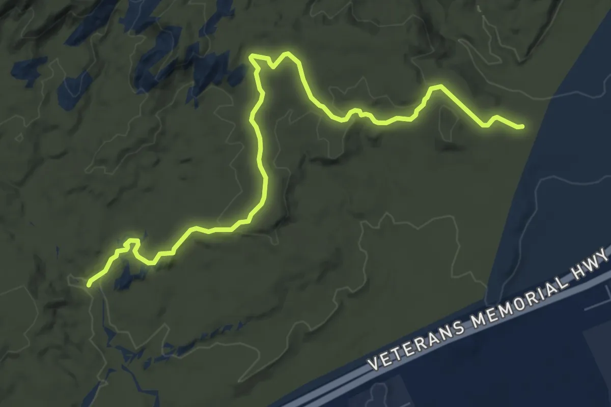
Medium · Trail
Cottonwood Hills
9.1 km · ↑ 171 m · 2 h 31 min · 14 km away
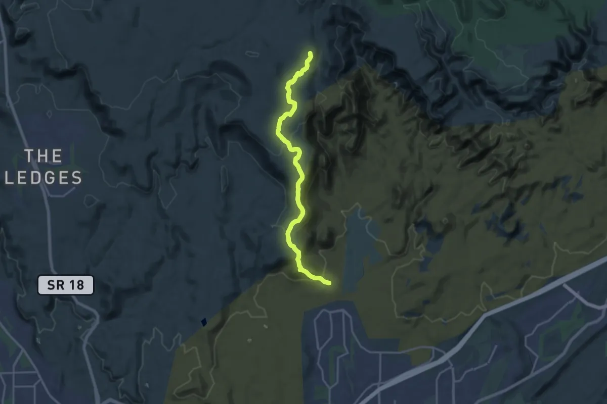
Demanding · Trail
Ice House
18.2 km · ↑ 544 m · 5 h 28 min · 14 km away
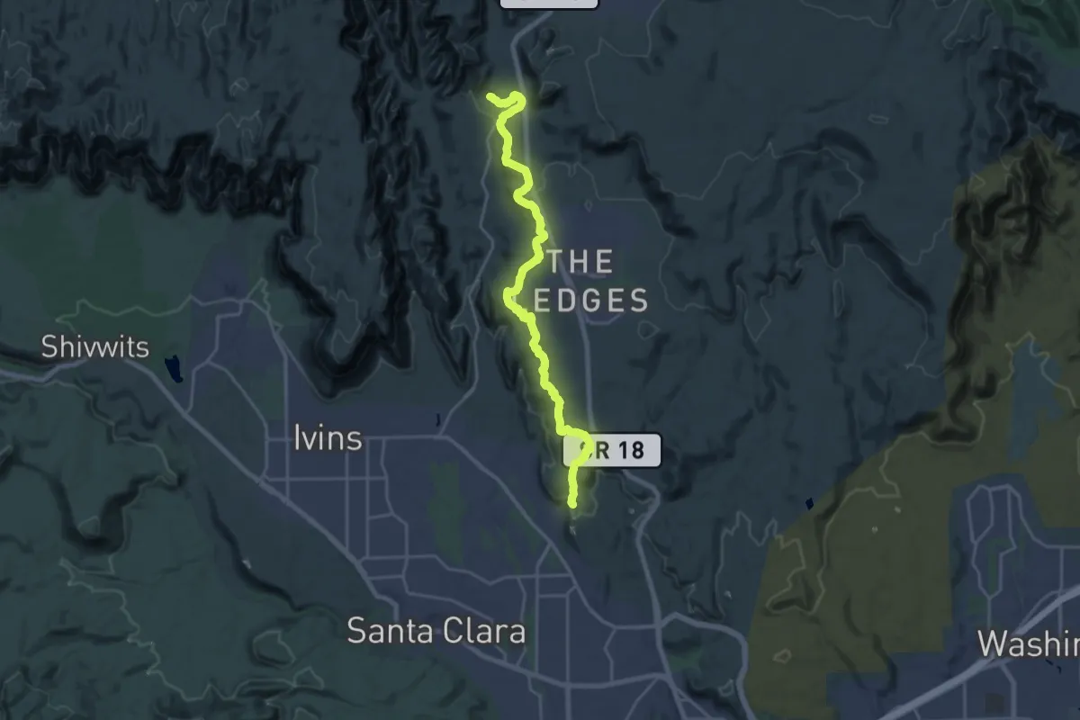
Demanding · Trail
Gila
24.5 km · ↑ 529 m · 6 h 56 min · 15 km away
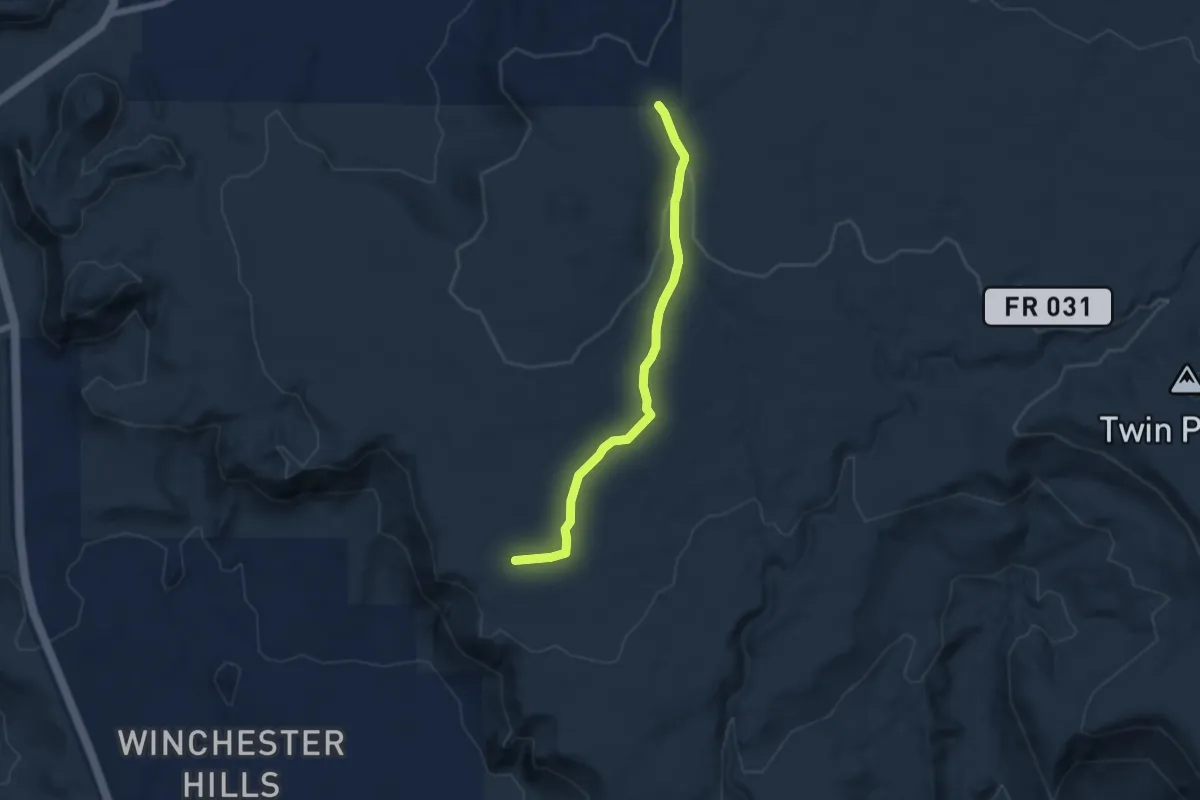
Easy · Trail
Alger Hollow
6.7 km · ↑ 89 m · 1 h 46 min · 15 km away