Trails near Stafford
41 hikes starting within 15 km, nearest first.
Nearest first
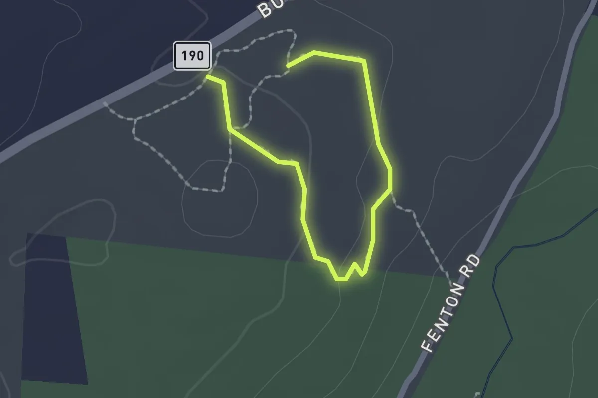
Easy · Trail
Woodland Trail
1.1 km · ↑ 33 m · 20 min · 4 km away
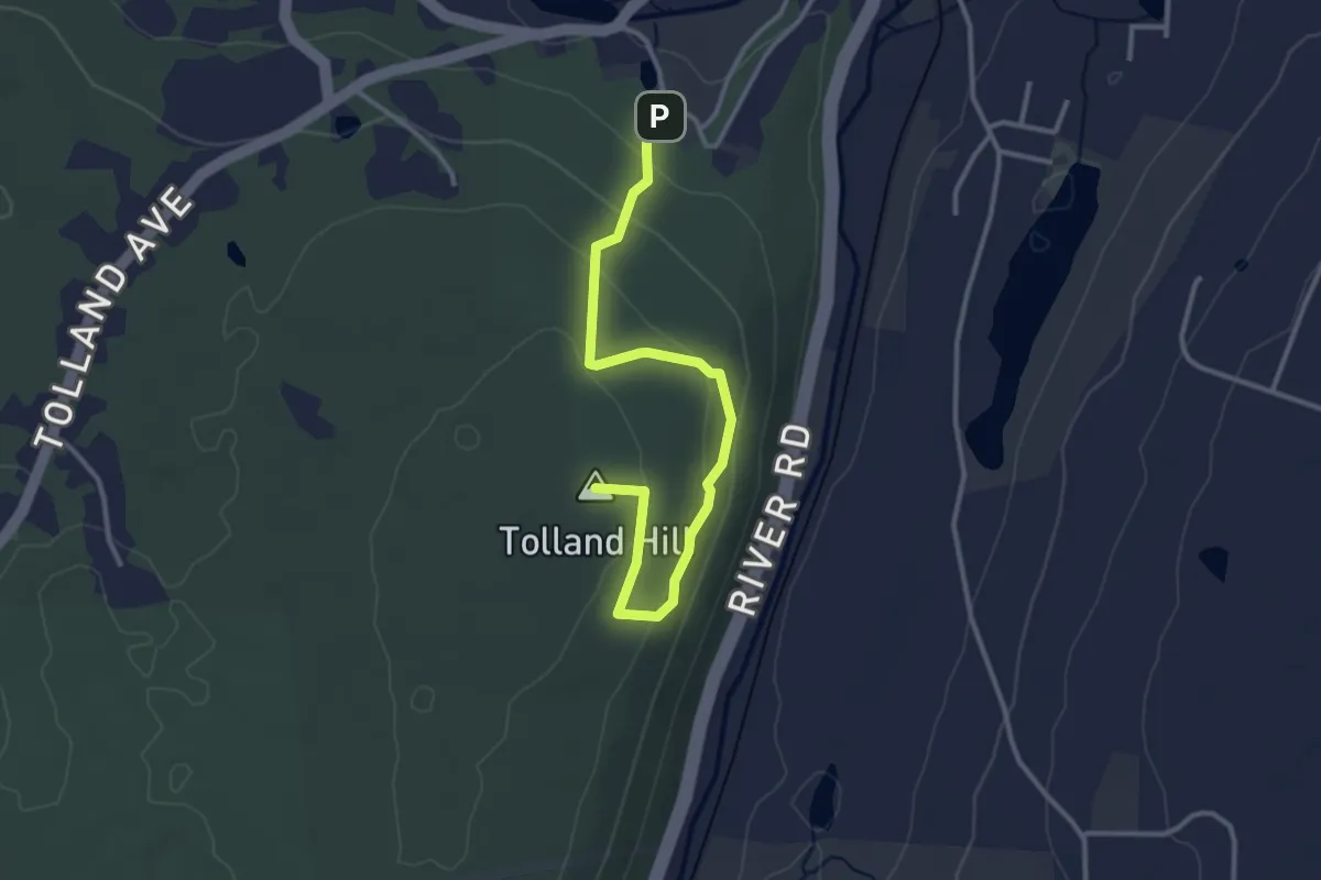
Easy · Summit
Woodlawn Trail
3.7 km · ↑ 117 m · 1 h 7 min · 4 km away
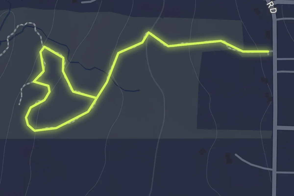
Easy · Trail
Esther's Loop
2.0 km · ↑ 72 m · 38 min · 6 km away
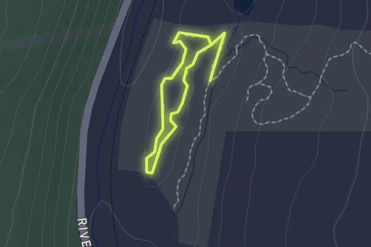
Easy · Trail
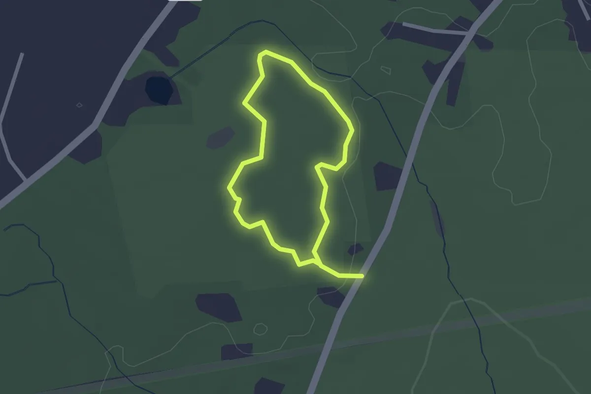
Ridge Loop Trail
1.1 km · ↑ 17 m · 18 min · 6 km away
Easy · Trail
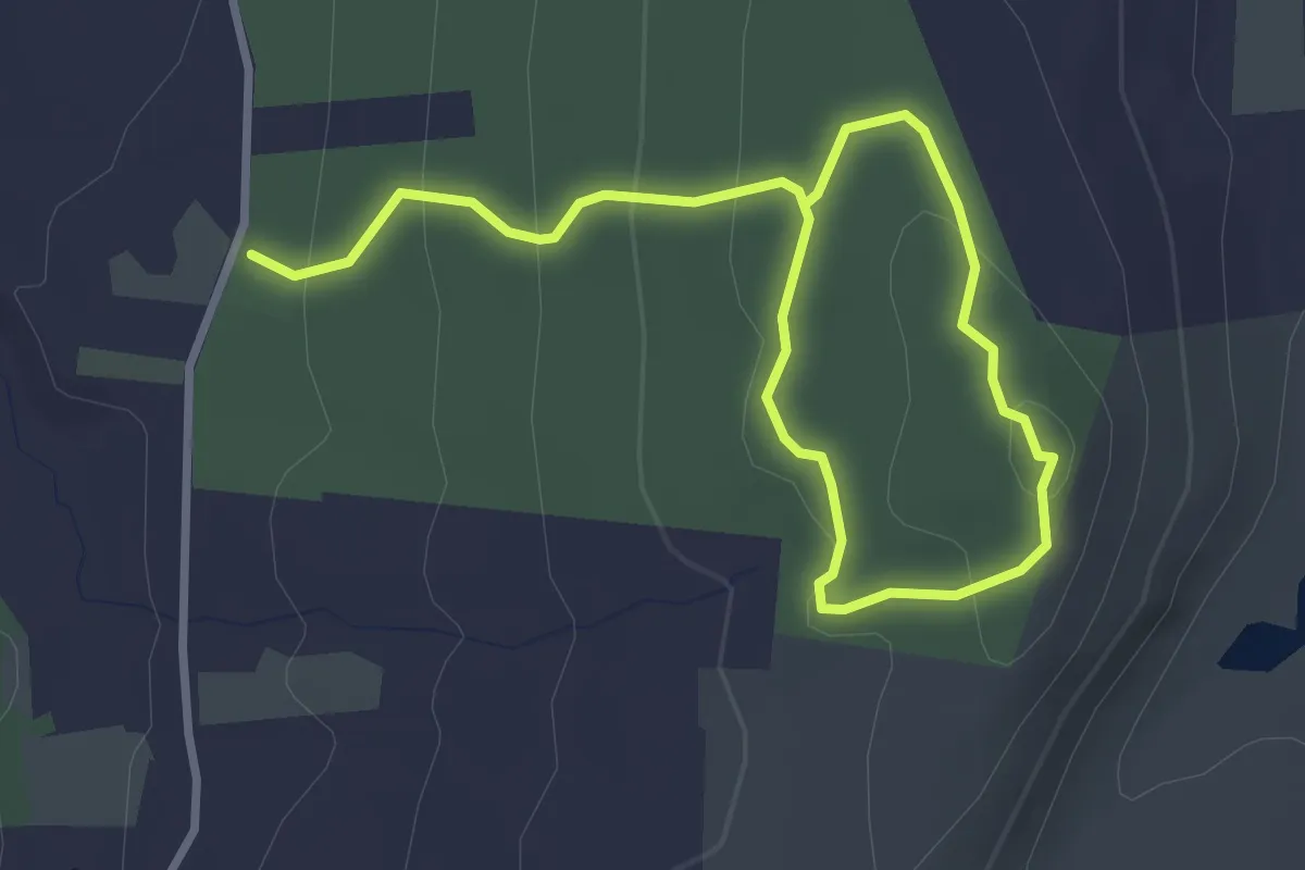
Balanced Boulder Trail
1.8 km · ↑ 32 m · 30 min · 6 km away
Easy · Trail
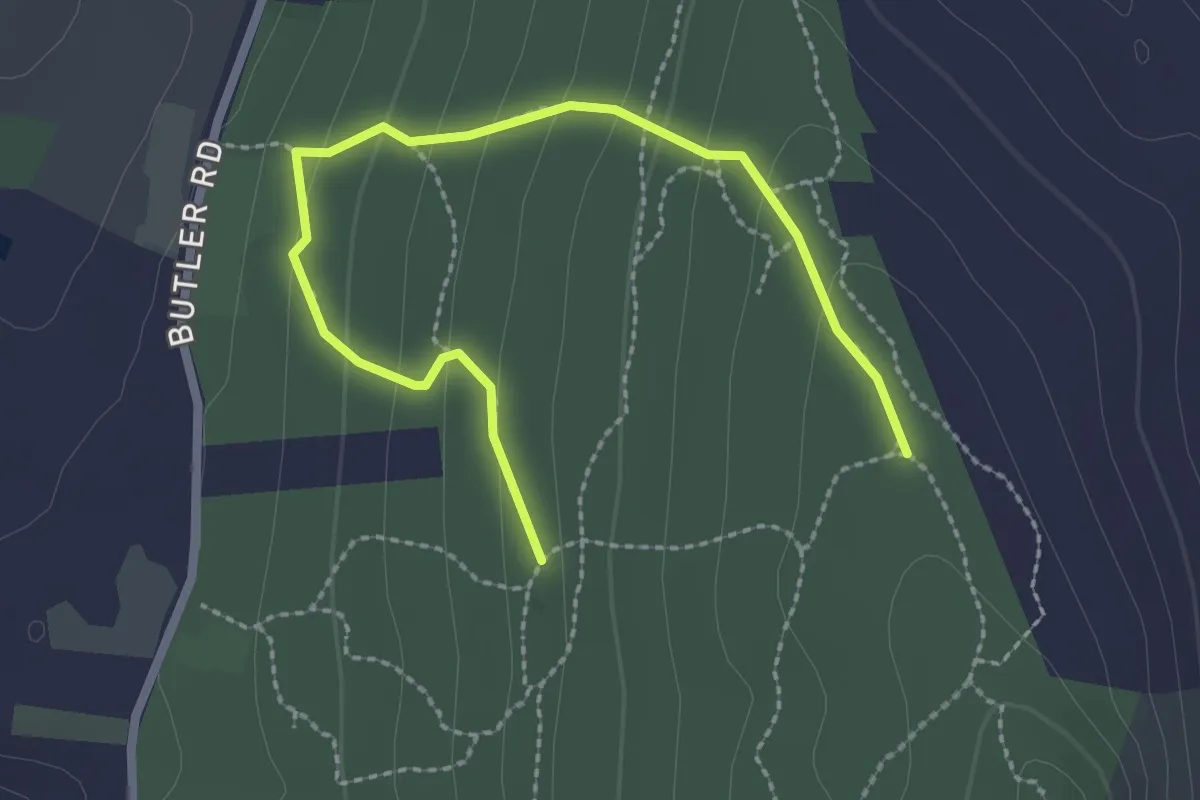
Peaked Mountain Red Trails
4.7 km · ↑ 189 m · 1 h 32 min · 8 km away
Easy · Trail
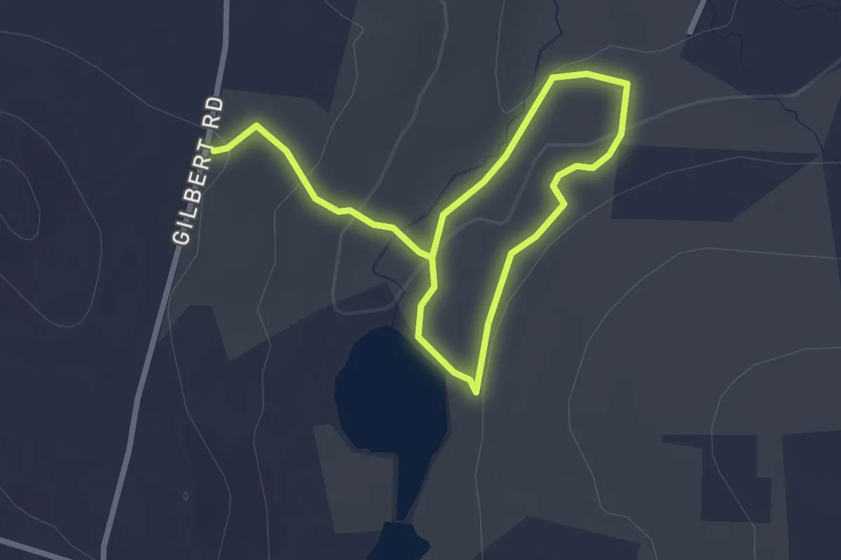
Peaked Mountain Orange Trails
3.1 km · ↑ 147 m · 1 h 3 min · 9 km away
Easy · Trail
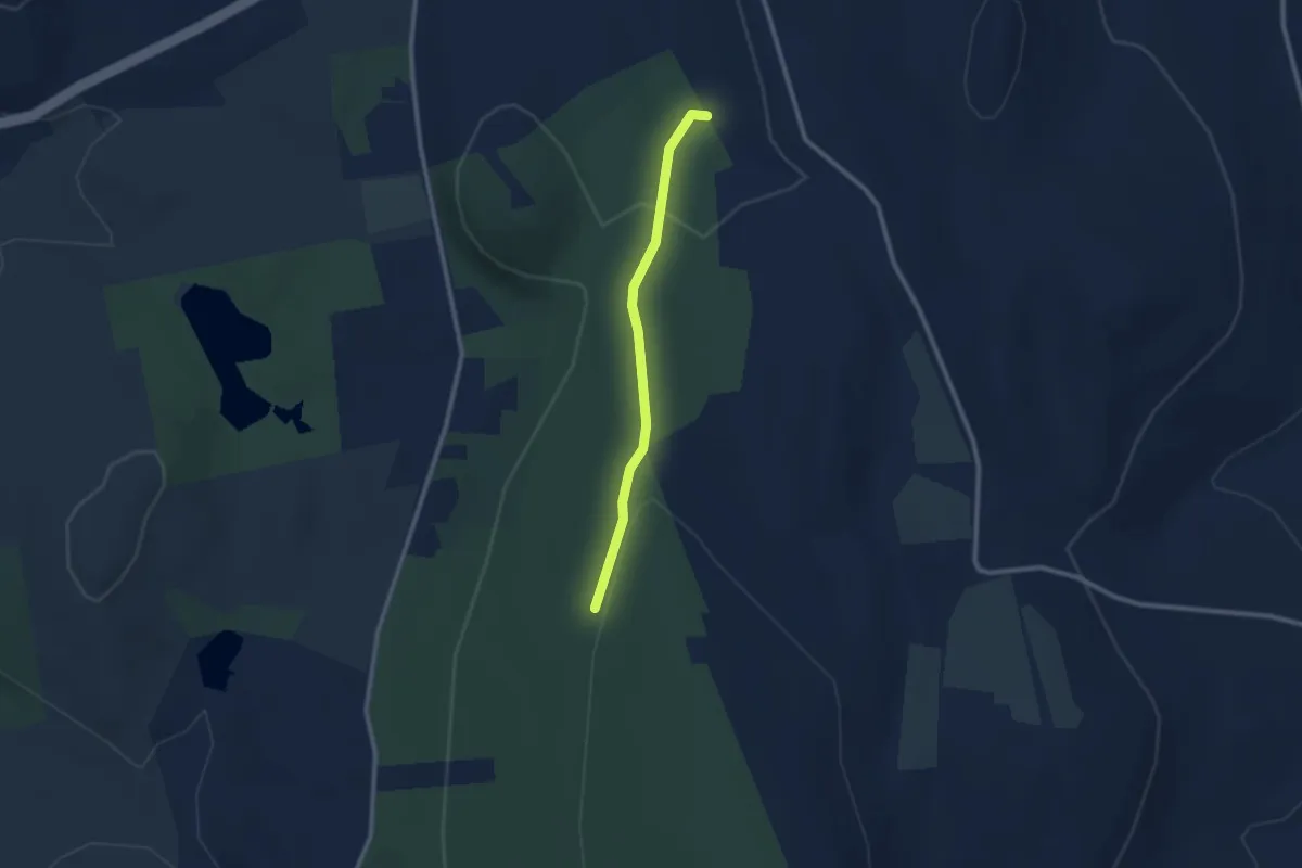
Culver Pond White Trail
4.0 km · ↑ 114 m · 1 h 12 min · 9 km away
Easy · Trail
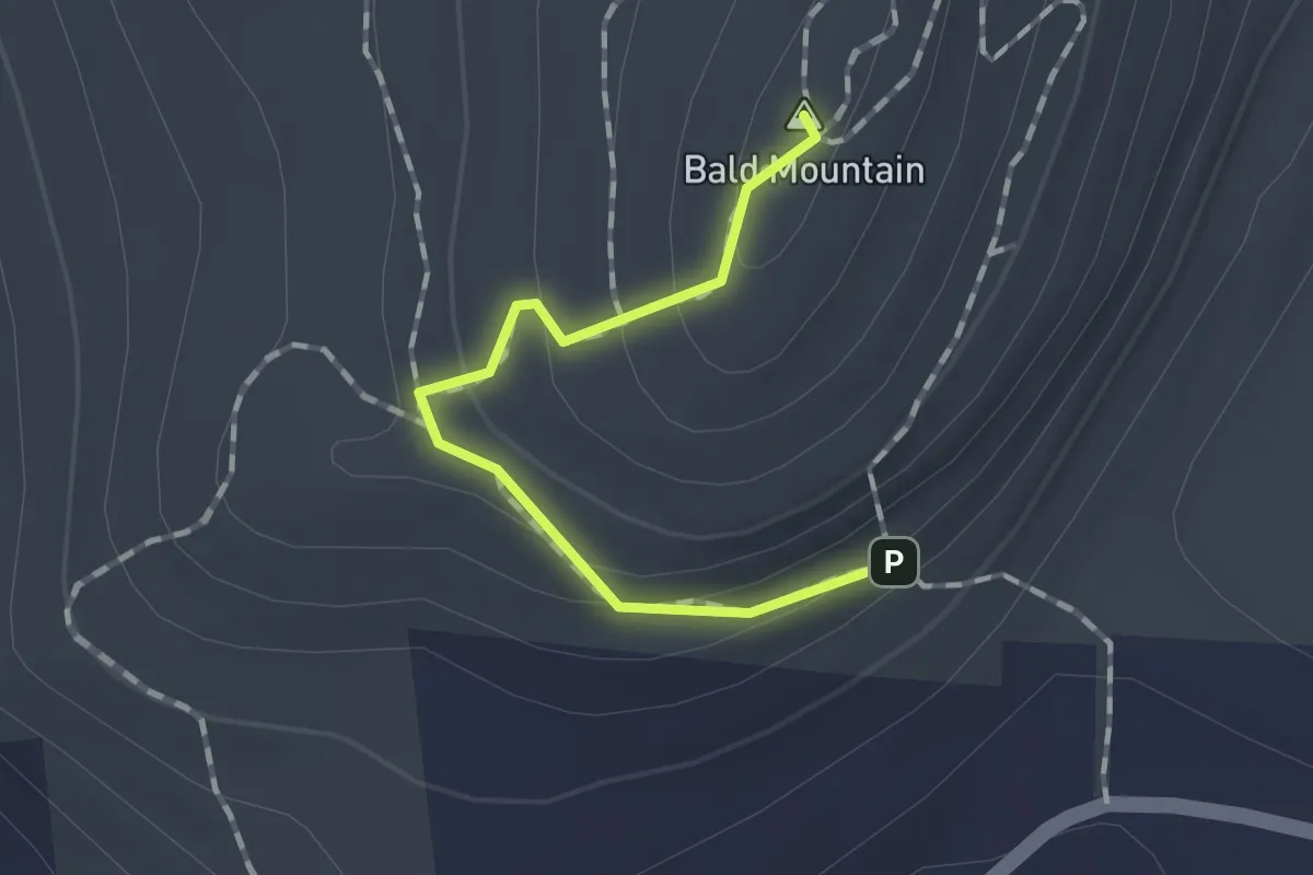
Peaked Mountain Pink Trails
2.4 km · ↑ 60 m · 42 min · 10 km away
Easy · Summit
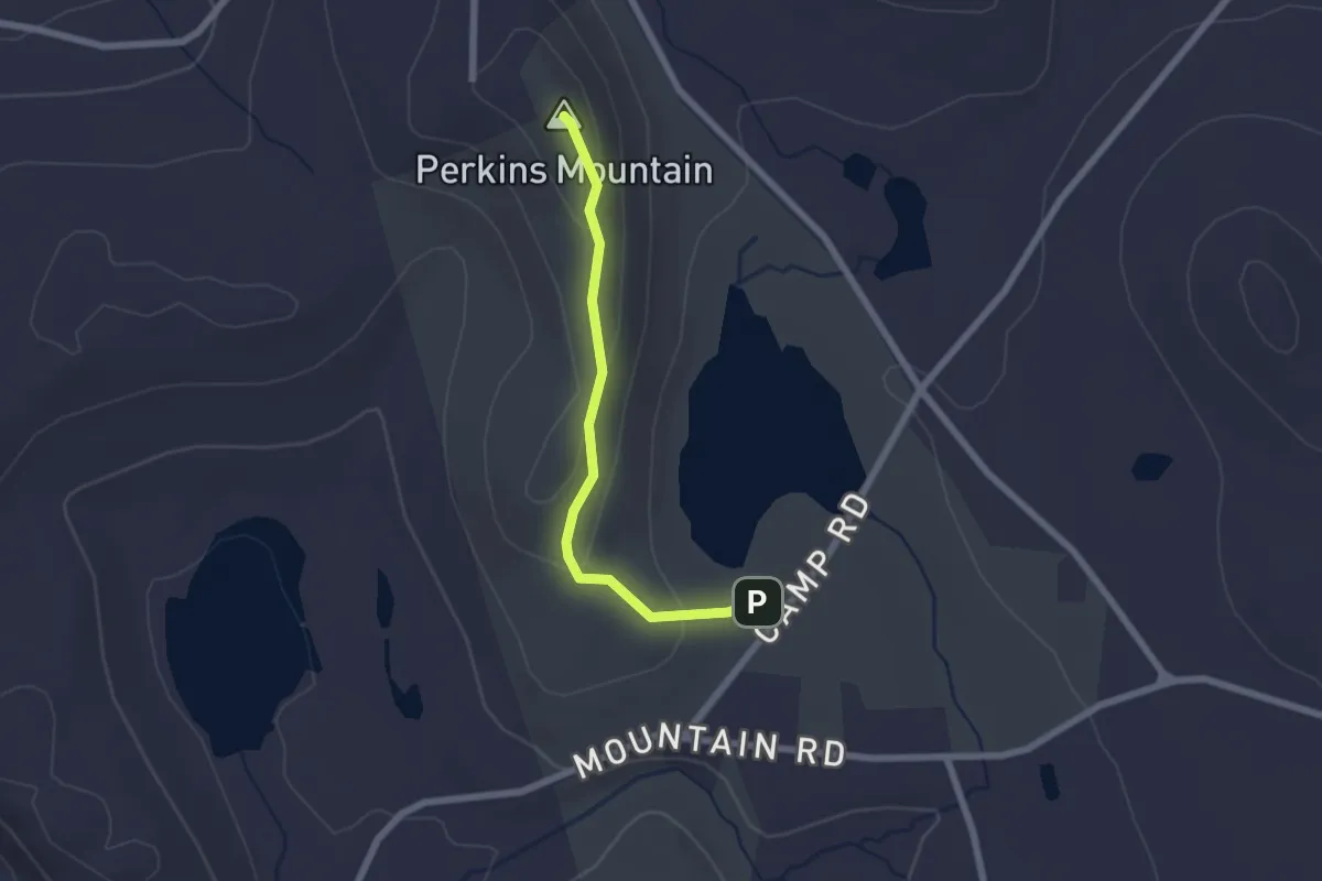
Bald Mountain White Trail
1.3 km · ↑ 74 m · 28 min · 10 km away
Easy · Summit
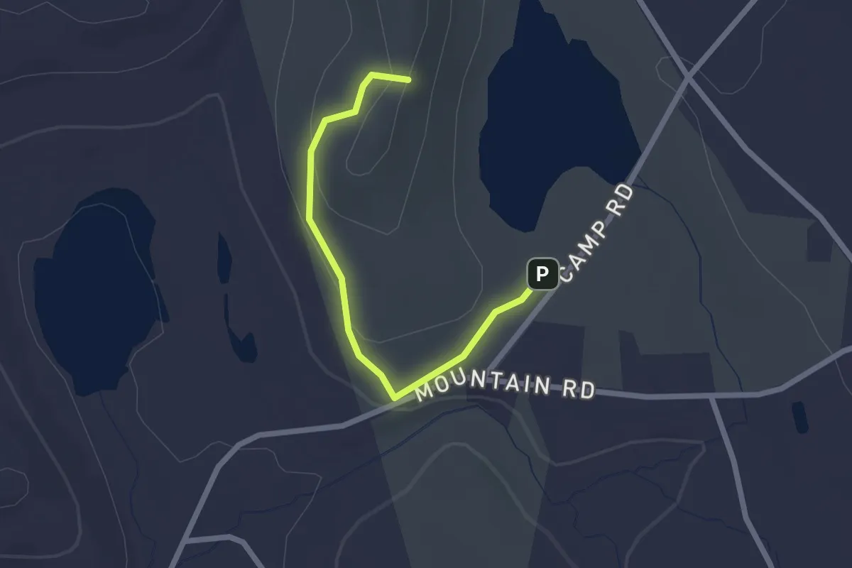
Perkins Mtn Orange Trail
2.1 km · ↑ 83 m · 41 min · 10 km away
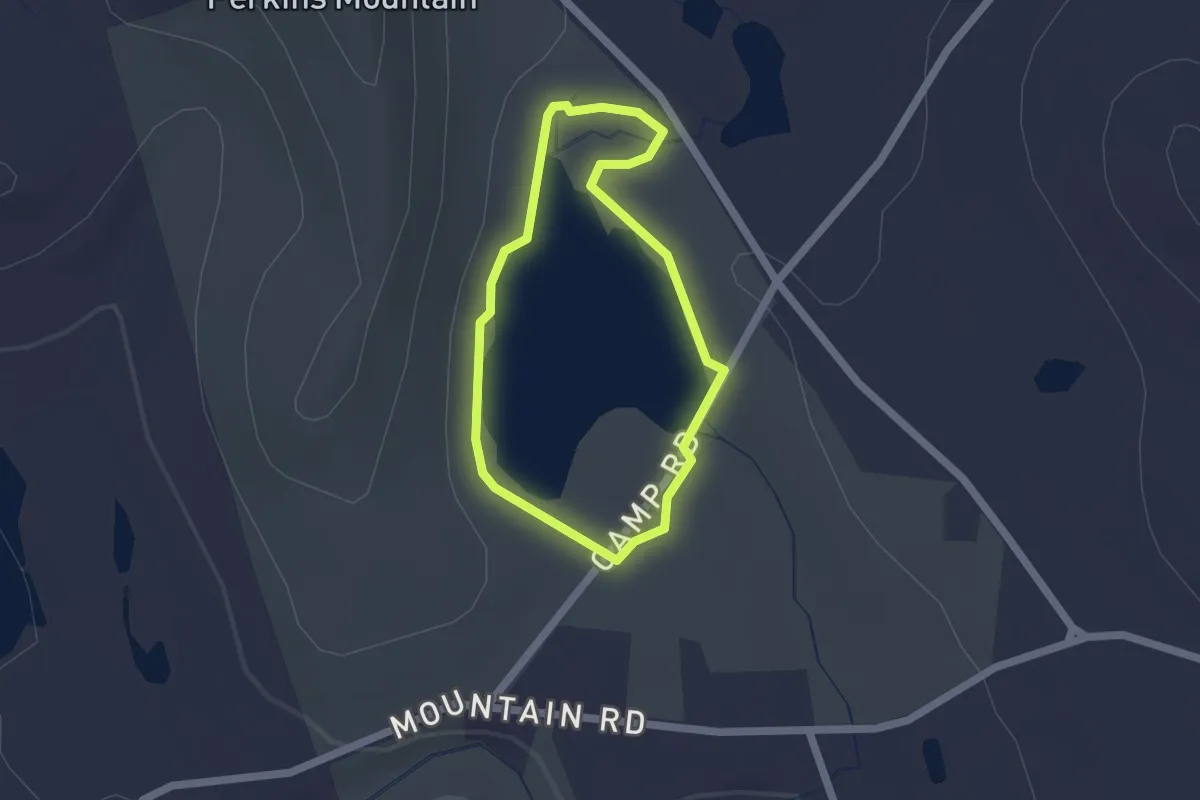
Easy · Trail
Old Shenipsit Trail
2.2 km · ↑ 61 m · 39 min · 10 km away
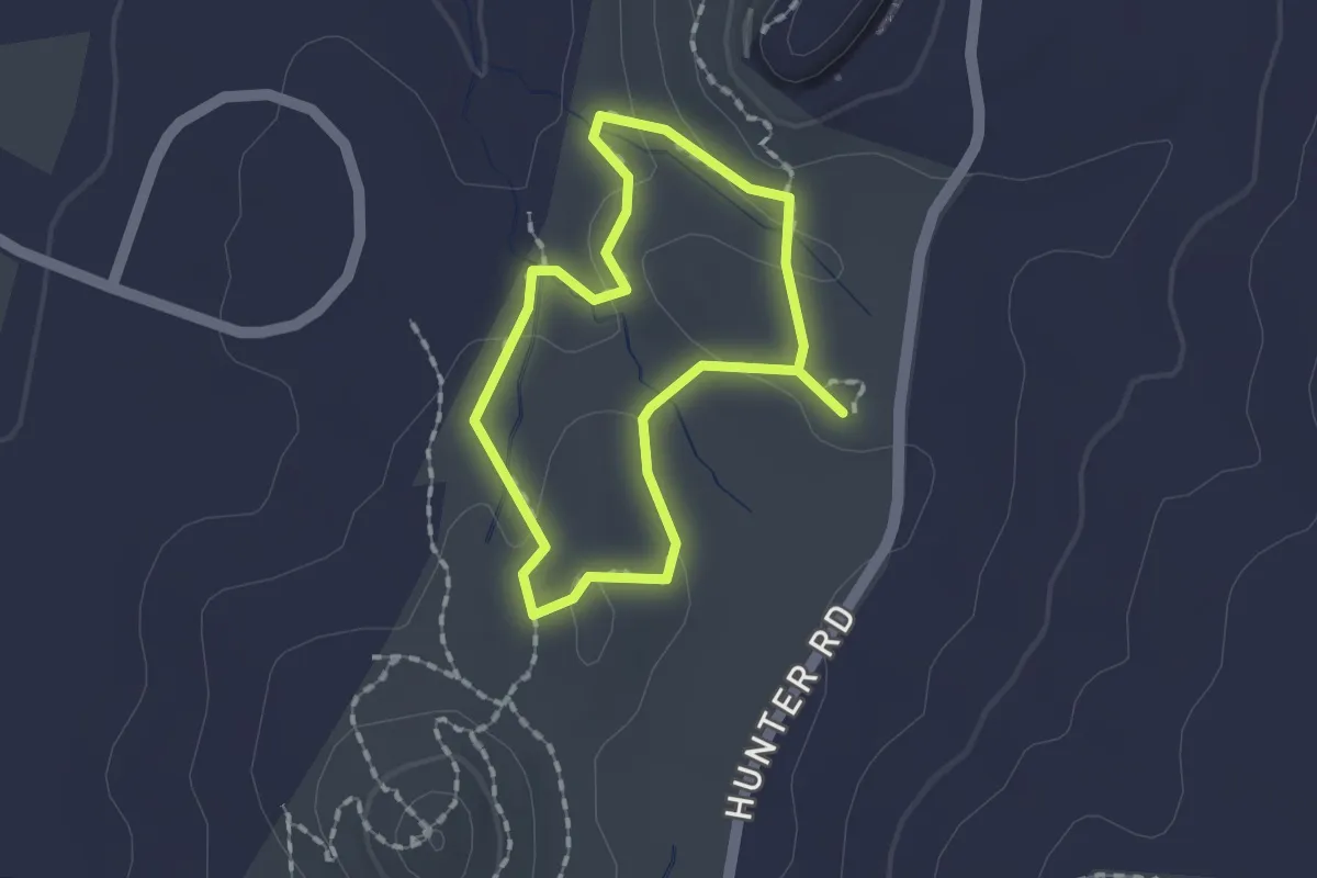
Easy · Trail
Lakeside Trail
1.6 km · ↑ 4 m · 25 min · 11 km away
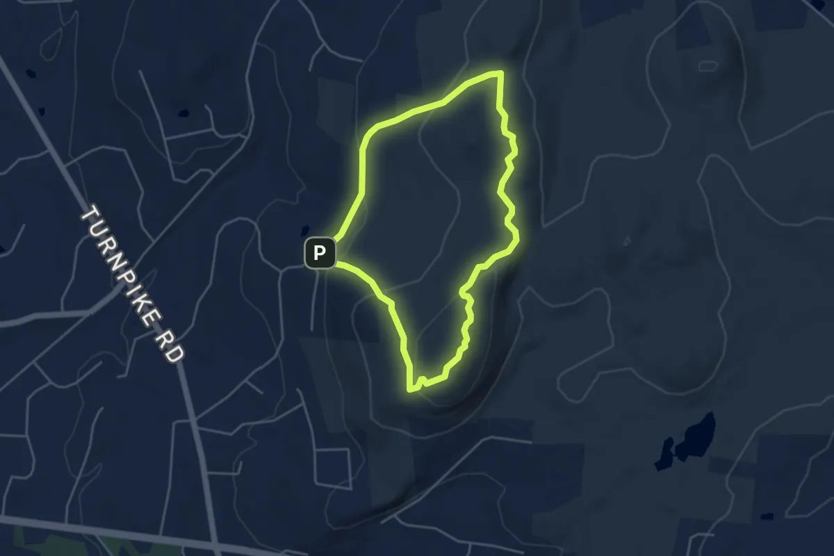
Easy · Trail
Loop Trail
1.4 km · ↑ 32 m · 26 min · 11 km away
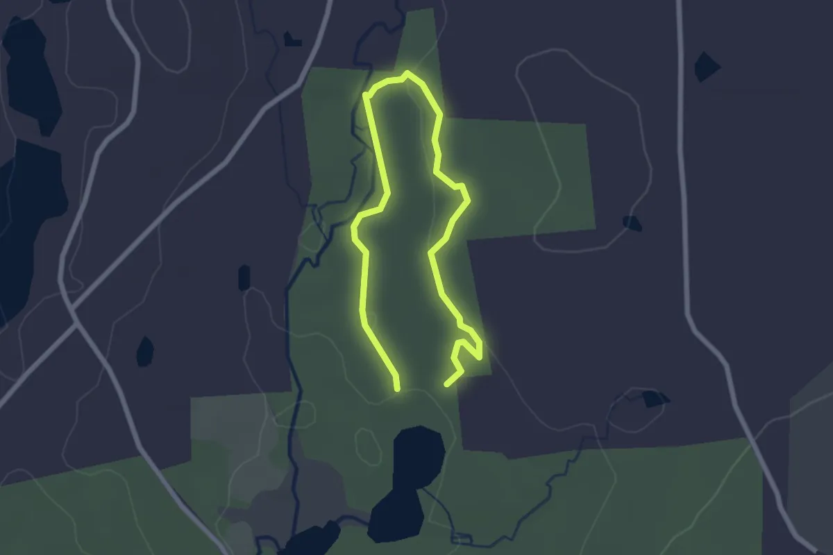
Easy · Summit
Bald Mountain Red Trail
4.2 km · ↑ 165 m · 1 h 24 min · 11 km away
Easy · Trail
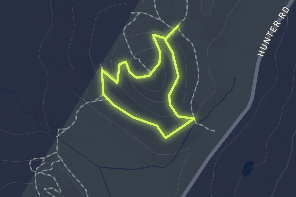
Julia's Trail
1.7 km · ↑ 26 m · 29 min · 11 km away
Easy · Trail
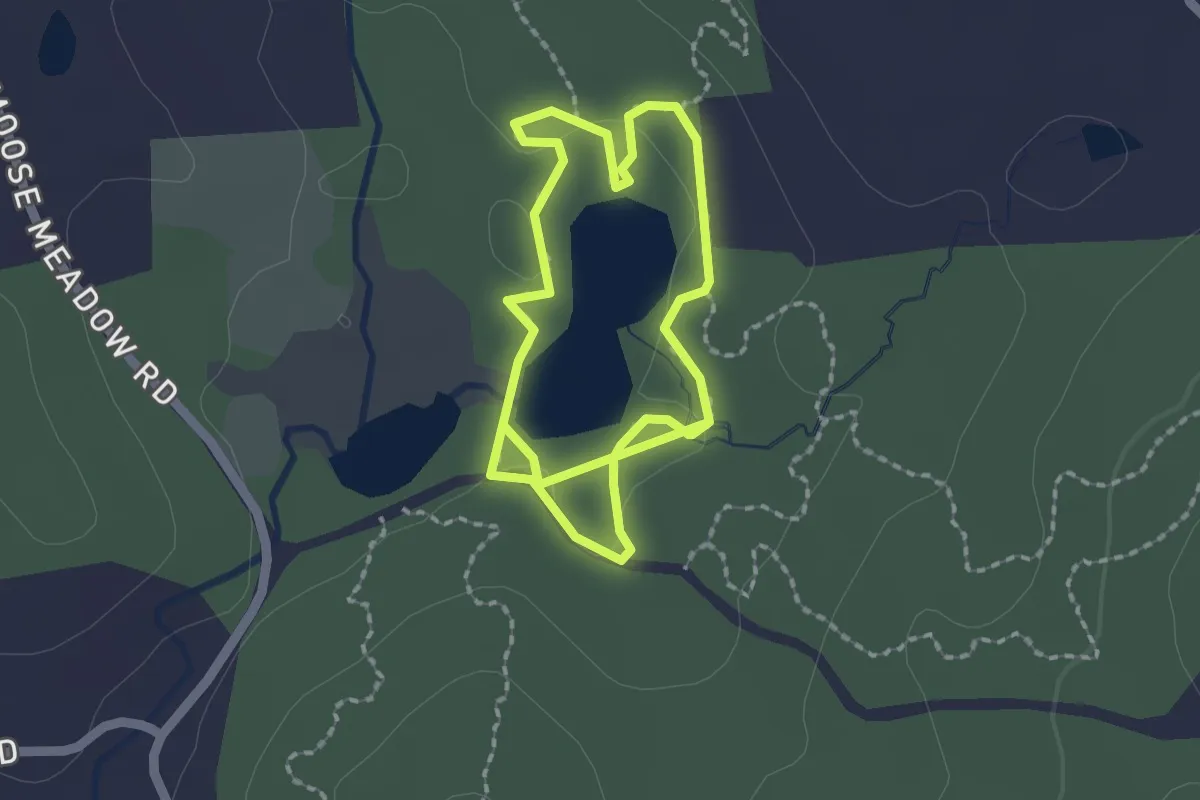
Ledge Loop Trail
1.0 km · ↑ 55 m · 22 min · 11 km away
Easy · Trail
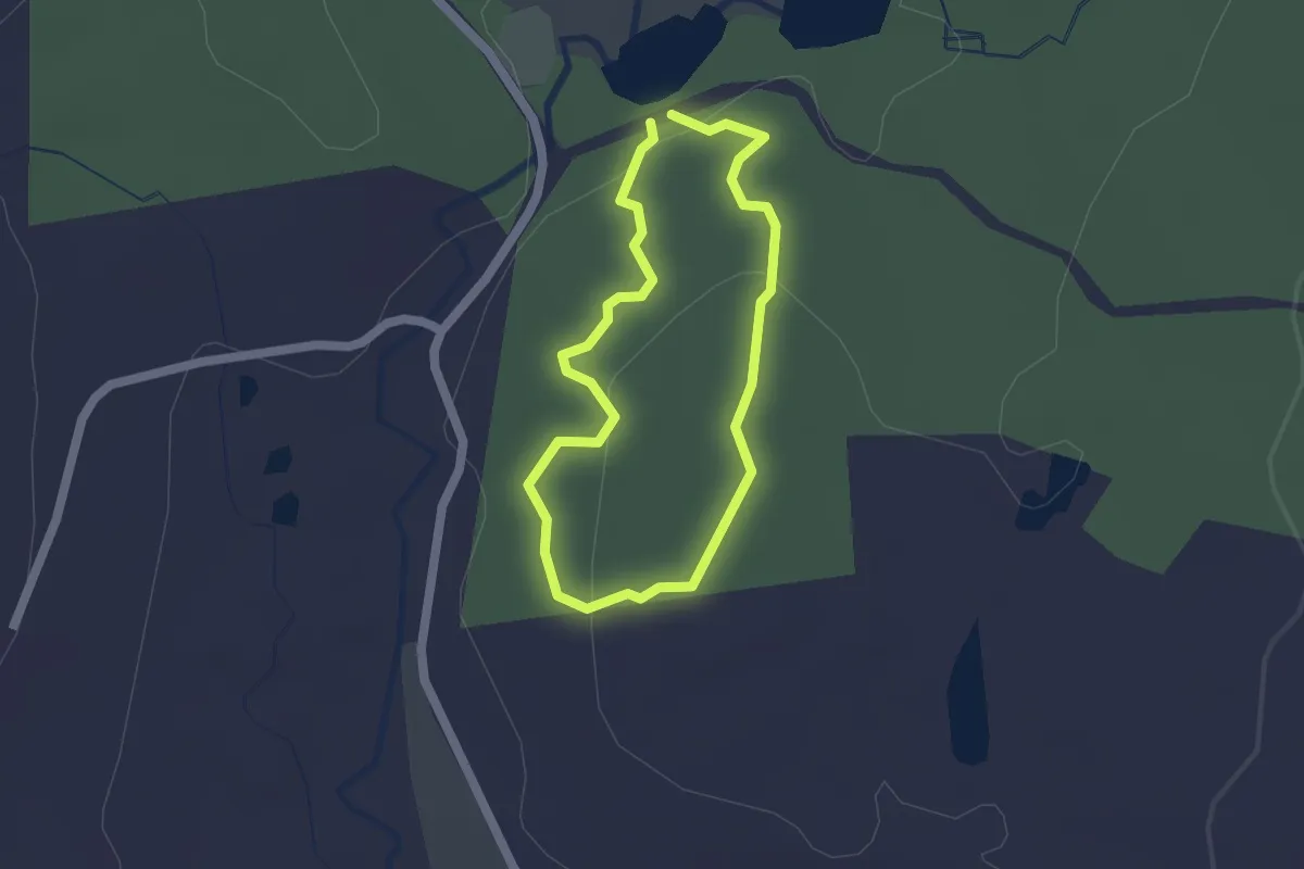
Taylor Pond Trail
3.7 km · ↑ 13 m · 54 min · 11 km away
Easy · Trail
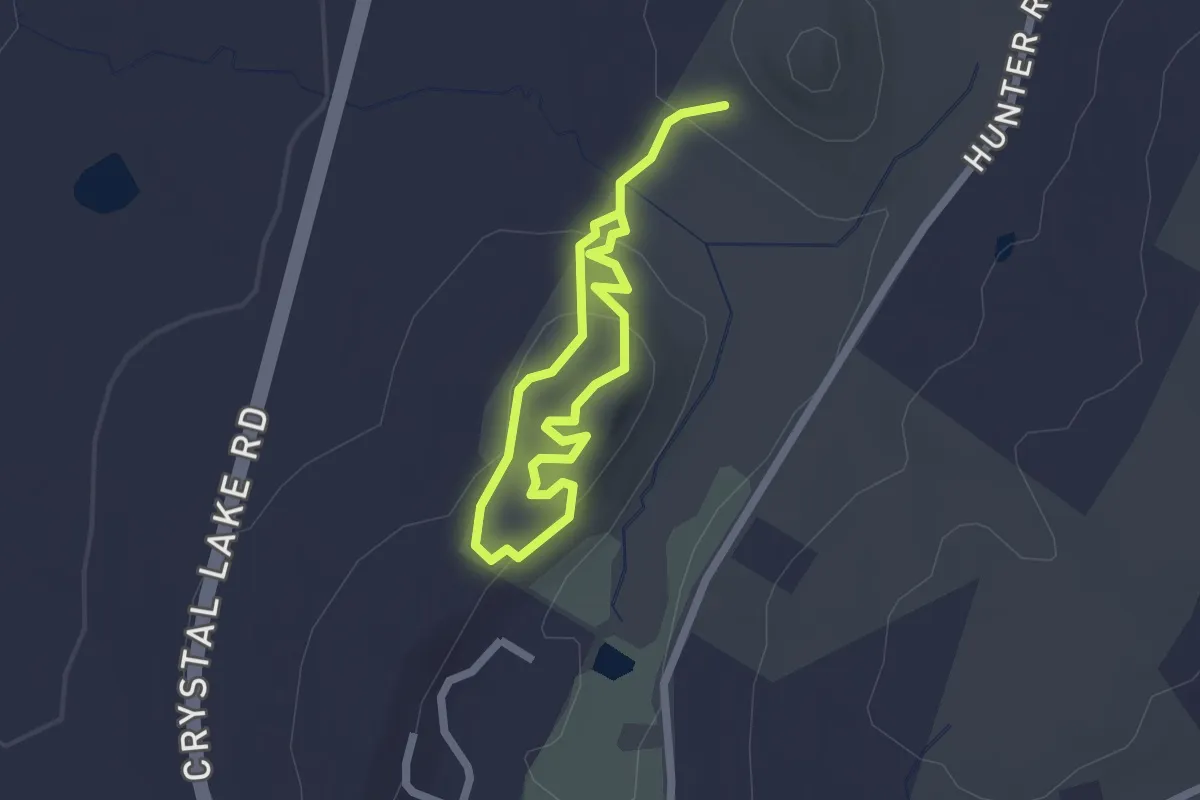
Weigold Trail
1.5 km · ↑ 47 m · 29 min · 11 km away
Easy · Trail
Ridge Loop Trail
3.2 km · ↑ 109 m · 59 min · 11 km away
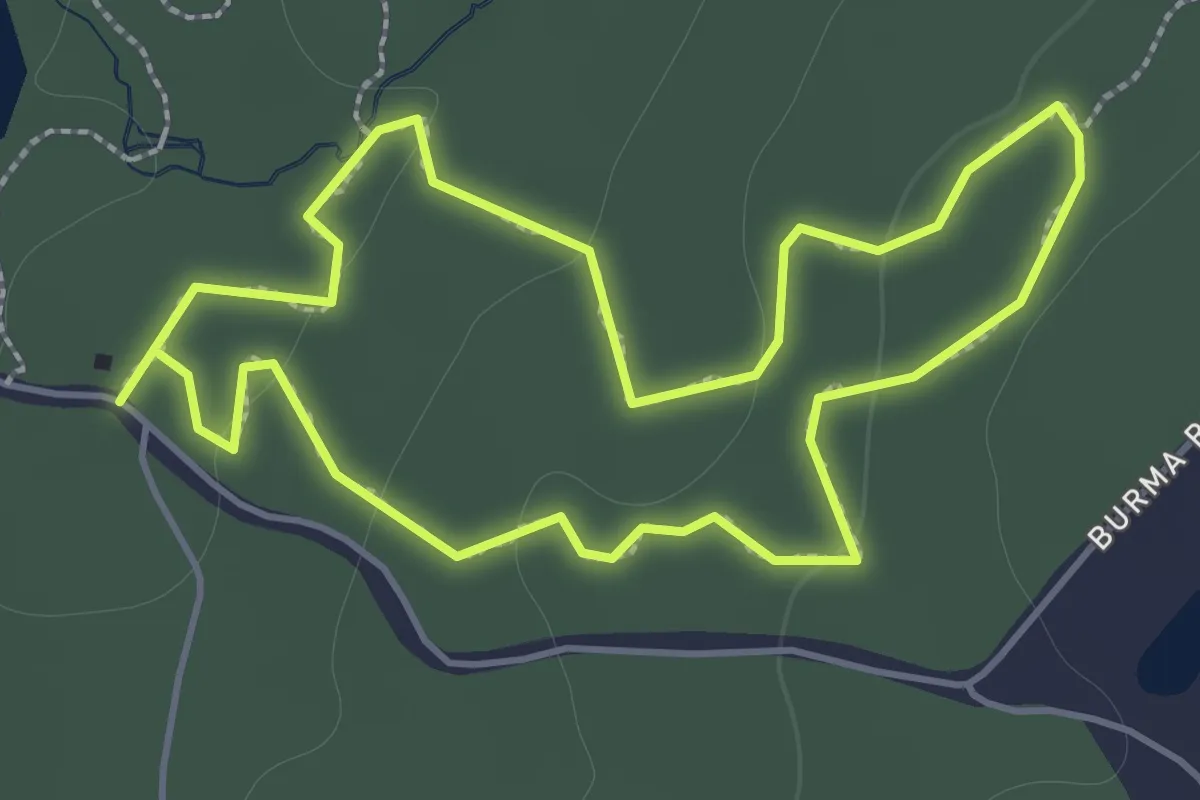
Easy · Trail
Ruby Trail
1.8 km · ↑ 35 m · 32 min · 11 km away
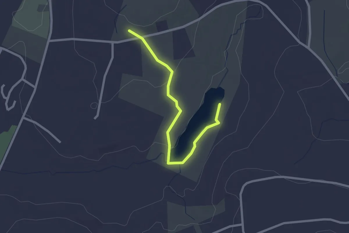
Easy · Trail
Pond Trail
2.4 km · ↑ 39 m · 39 min · 12 km away
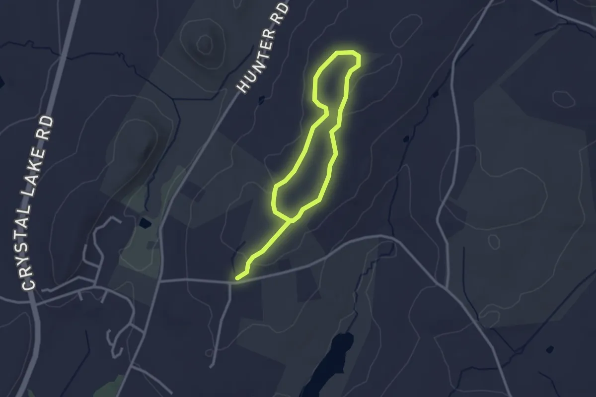
Easy · Trail
Loop Trail
4.3 km · ↑ 53 m · 1 h 7 min · 12 km away
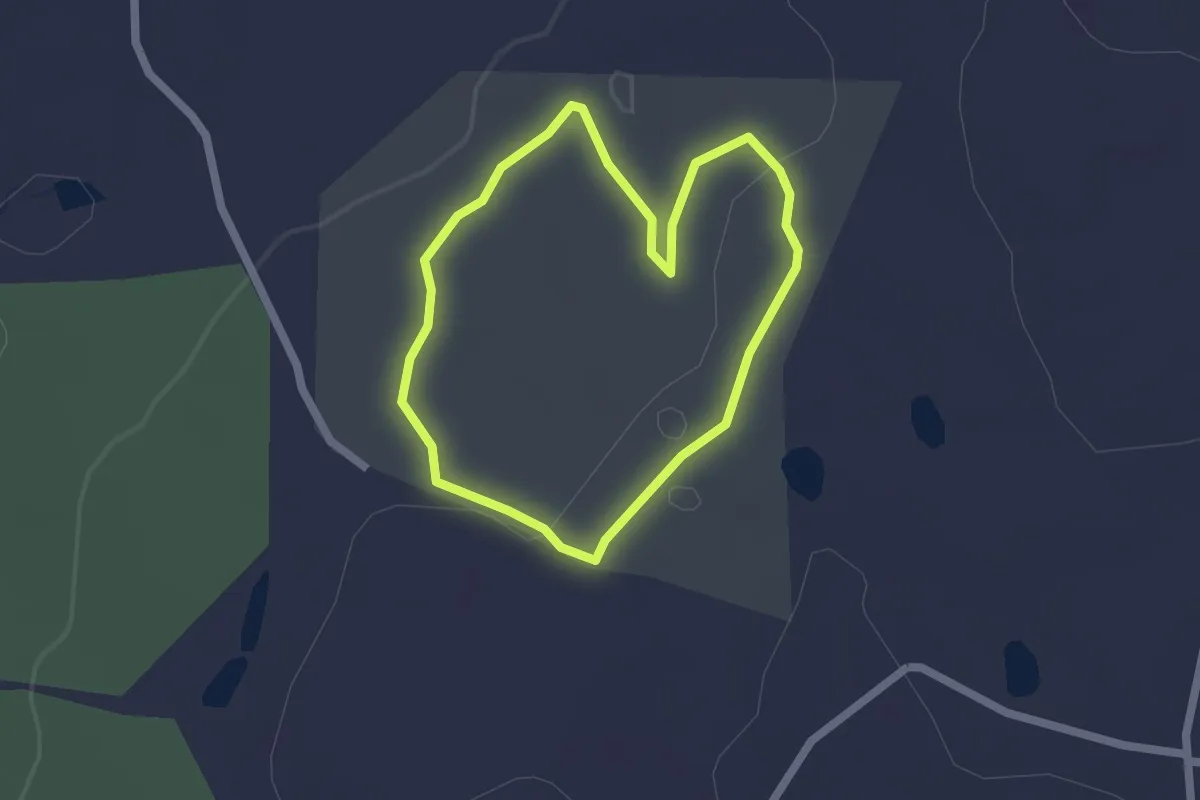
Easy · Trail
Langhammer Trail
1.8 km · ↑ 26 m · 31 min · 12 km away
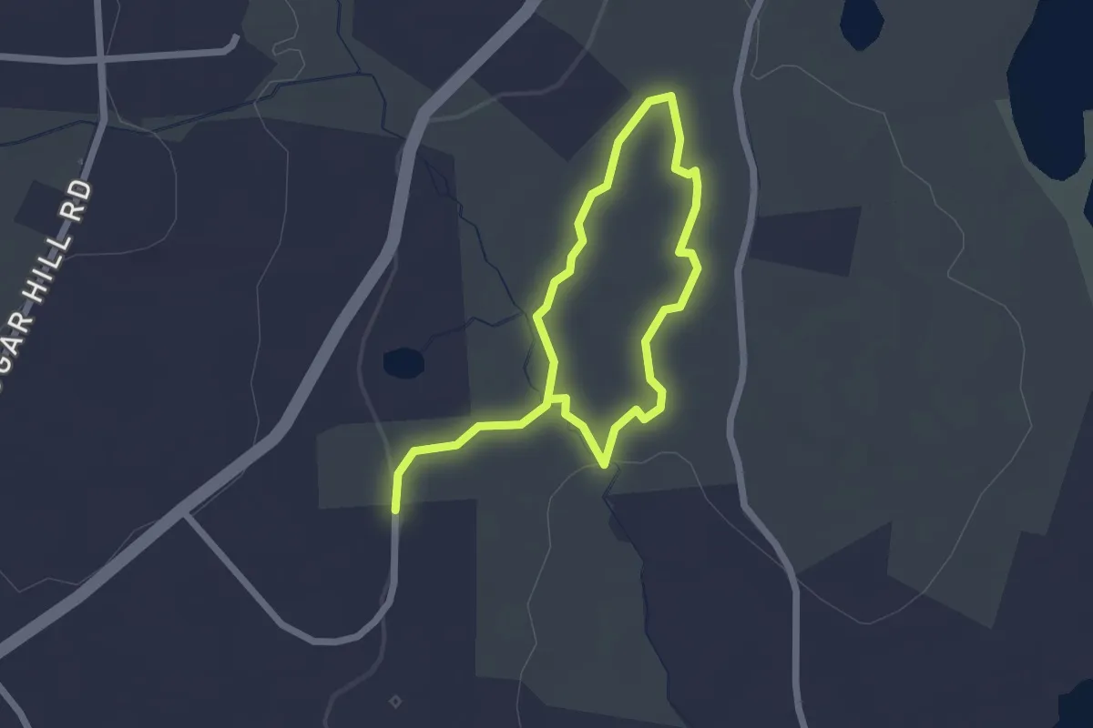
Easy · Trail
Loop Trail
3.4 km · ↑ 70 m · 57 min · 12 km away
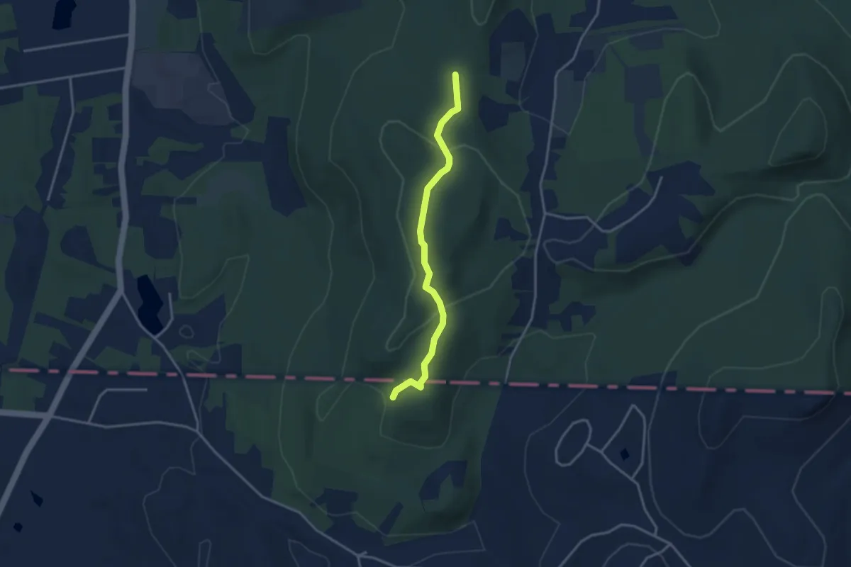
Easy · Trail
Algonquin Trail
3.3 km · ↑ 104 m · 1 h 1 min · 12 km away
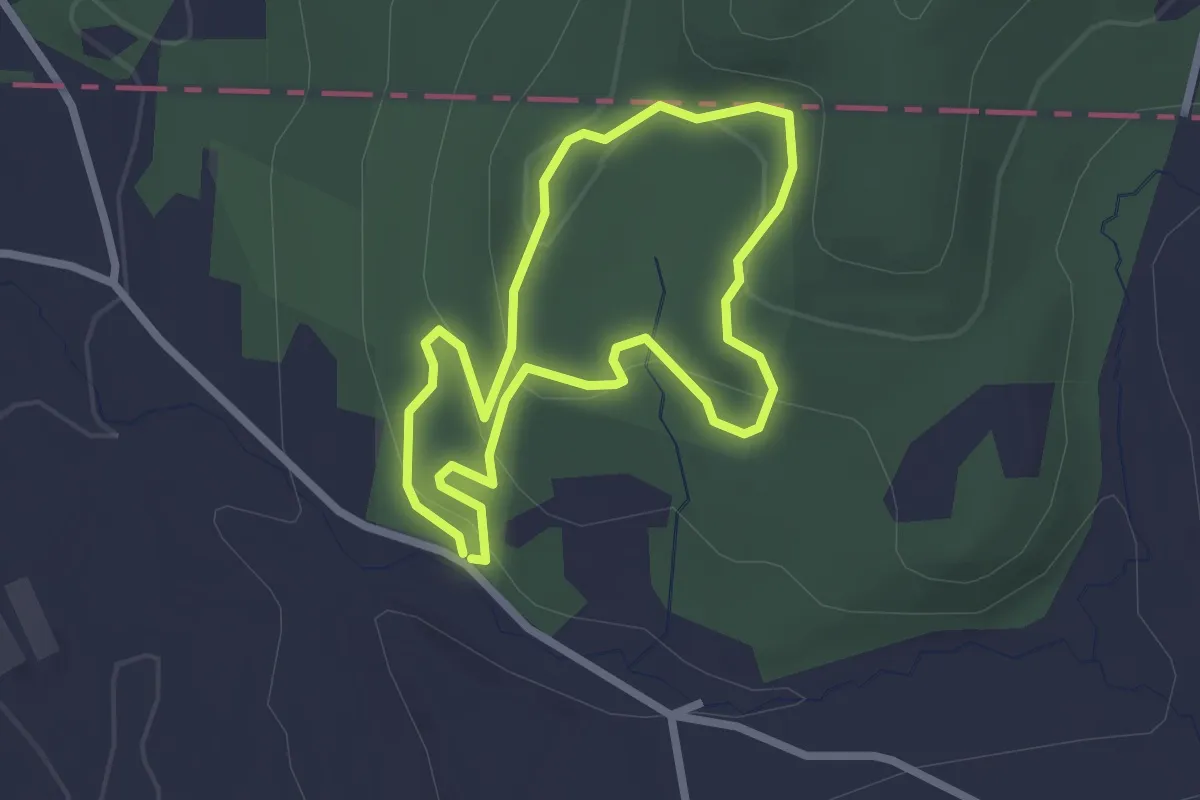
Easy · Trail
Skyline Yellow Trail
2.3 km · ↑ 89 m · 47 min · 13 km away
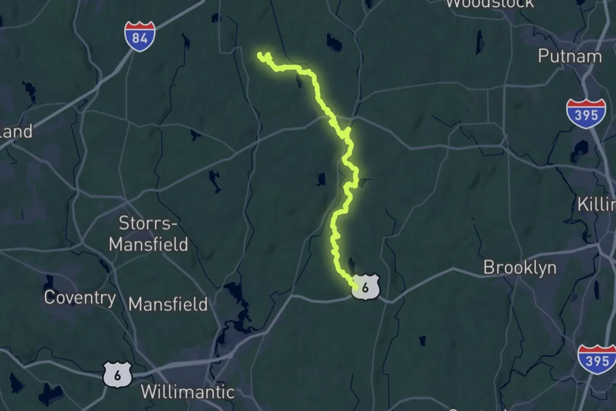
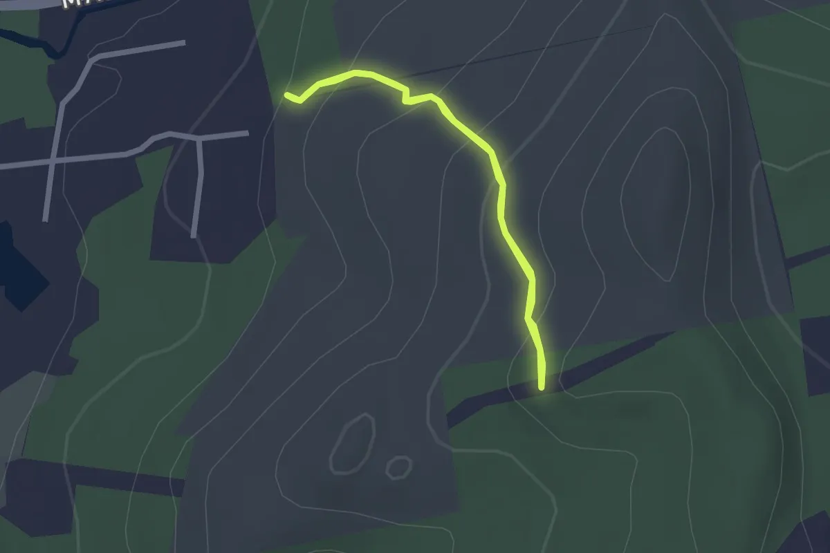
Demanding · Trail
Natchaug Trail
27.7 km · ↑ 469 m · 7 h 57 min · 13 km away
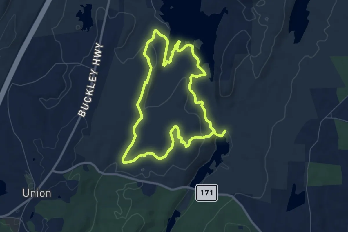
Easy · Trail
Bob's Trail
1.9 km · ↑ 110 m · 42 min · 13 km away
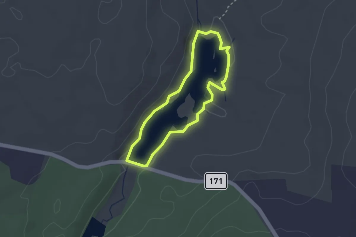
Easy · Trail
Mashapaug Pond View Trail
7.3 km · ↑ 180 m · 2 h 12 min · 13 km away
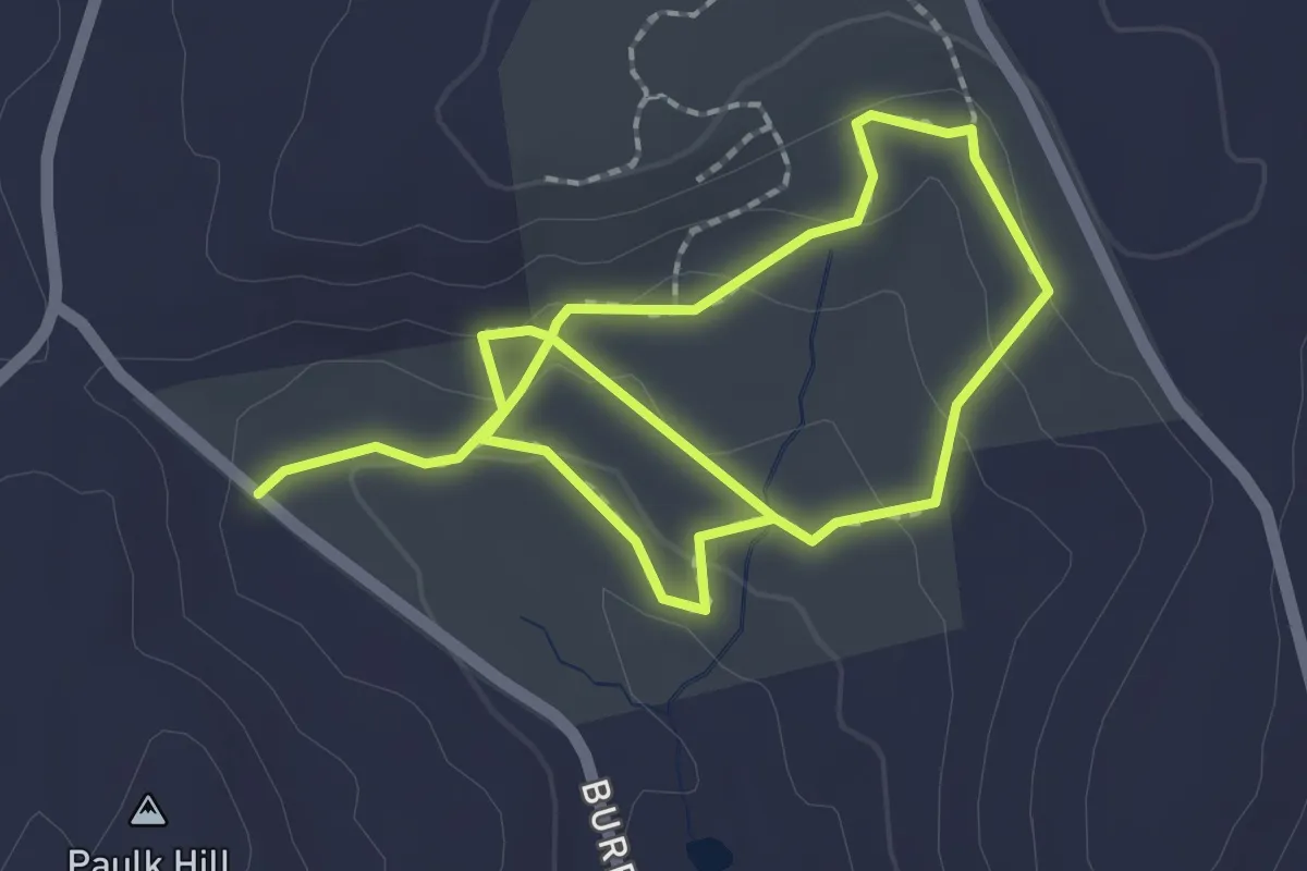
Easy · Trail
Bigelow Pond Loop Trail
2.2 km · ↑ 0 m · 33 min · 13 km away
Easy · Trail
Loop Trail
3.8 km · ↑ 126 m · 1 h 10 min · 14 km away
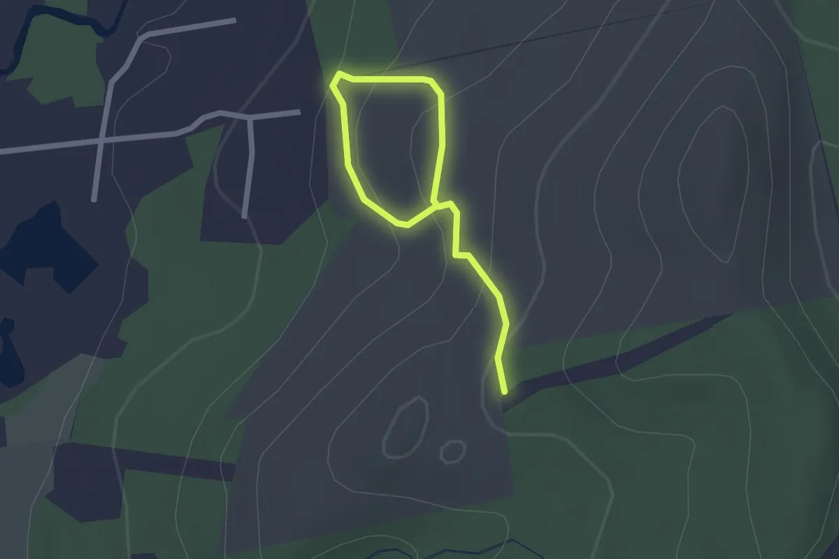
Easy · Trail
Blue Trail
2.5 km · ↑ 126 m · 51 min · 14 km away
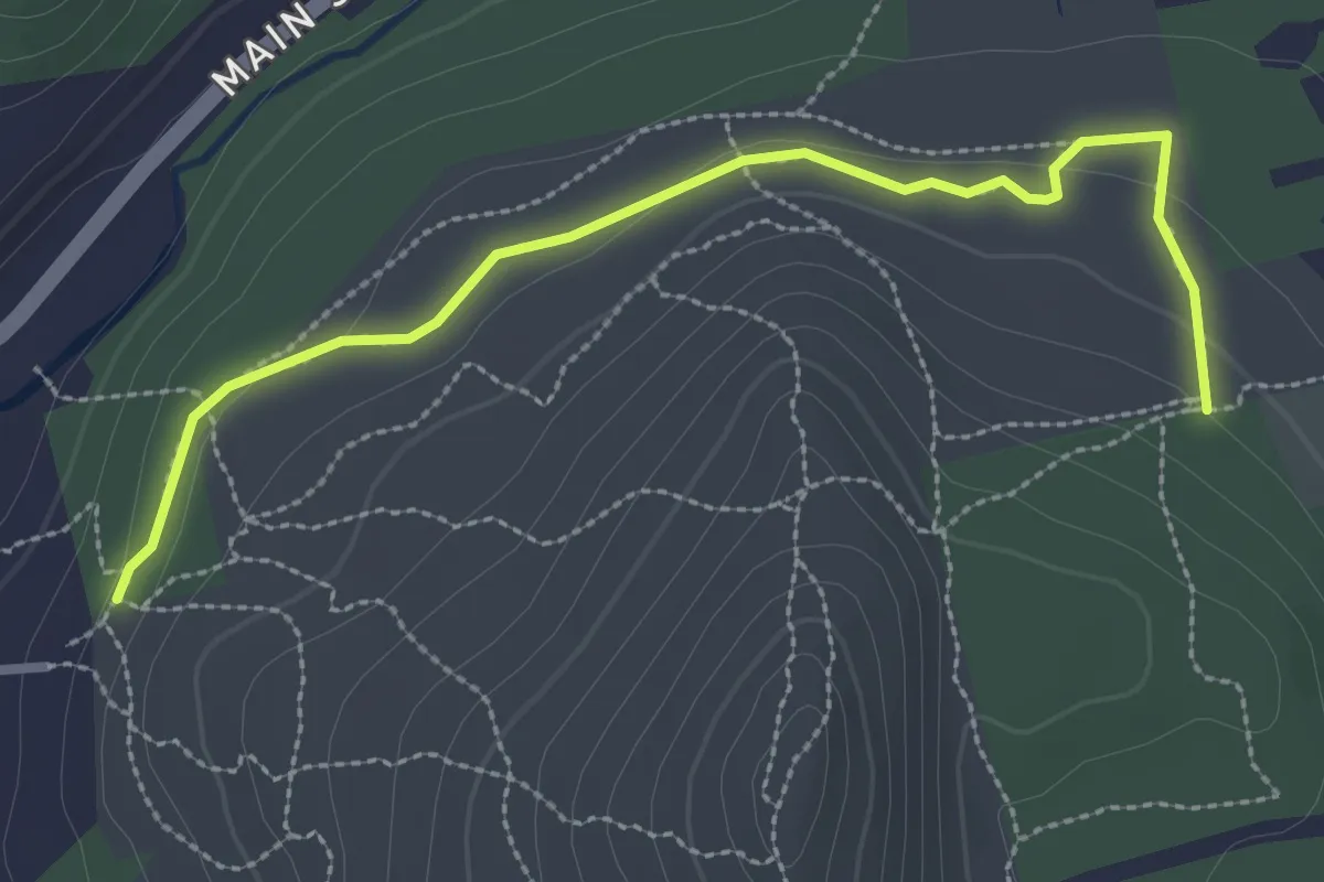
Easy · Trail
Old Coach Trail
3.2 km · ↑ 47 m · 52 min · 14 km away
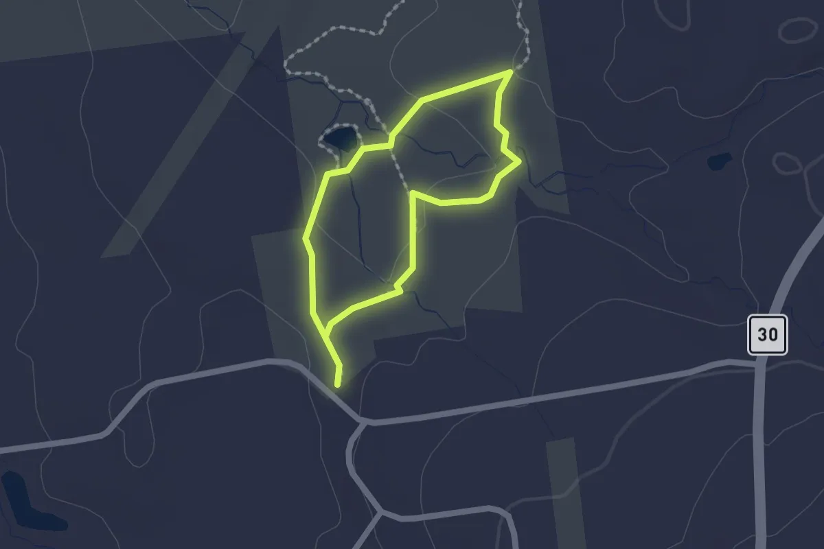
Easy · Trail
Orange Trail
1.4 km · ↑ 14 m · 23 min · 14 km away
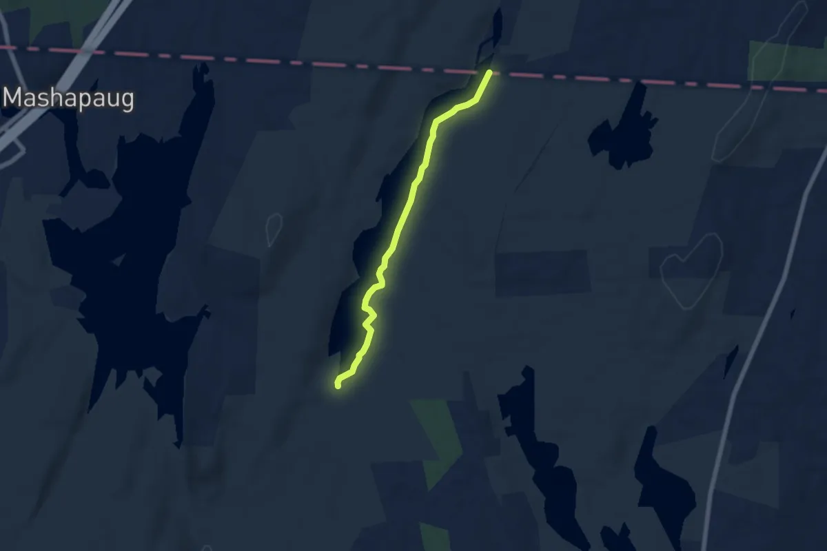
Easy · Trail
Nipmuck Trail
5.5 km · ↑ 10 m · 1 h 18 min · 15 km away
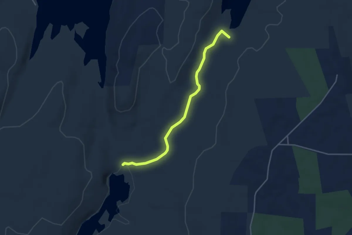
Easy · Trail
White Trail
3.6 km · ↑ 19 m · 53 min · 15 km away
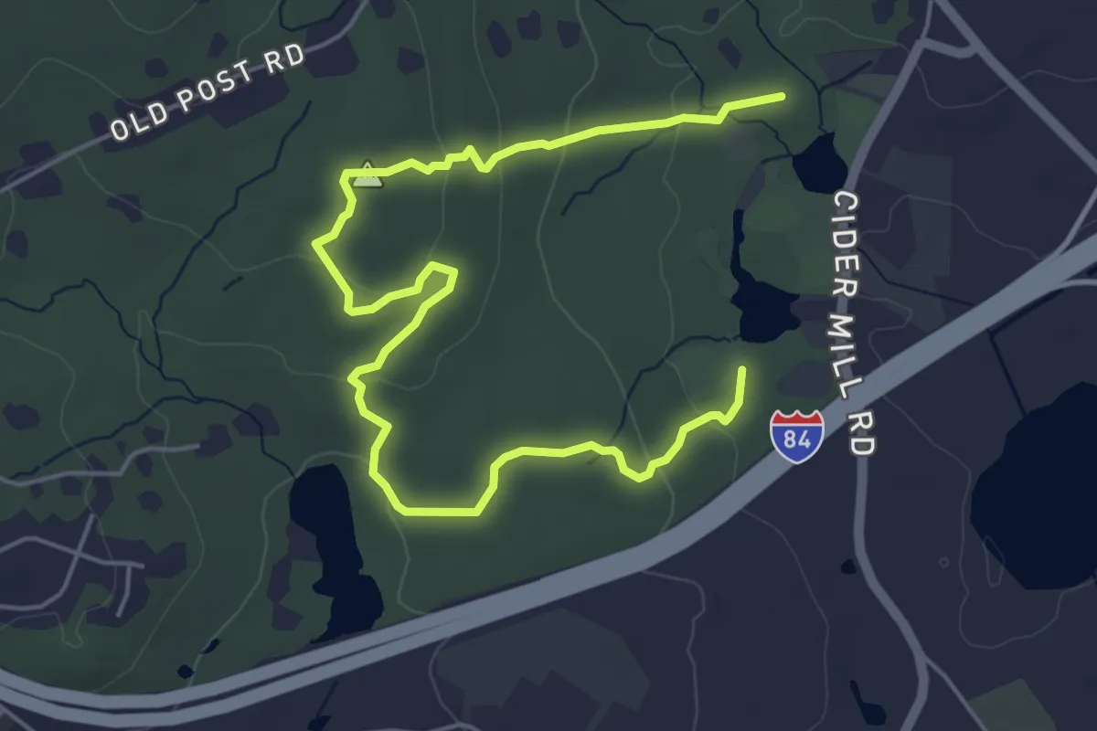
Easy · Trail
Red Trail
7.3 km · ↑ 197 m · 2 h 9 min · 15 km away
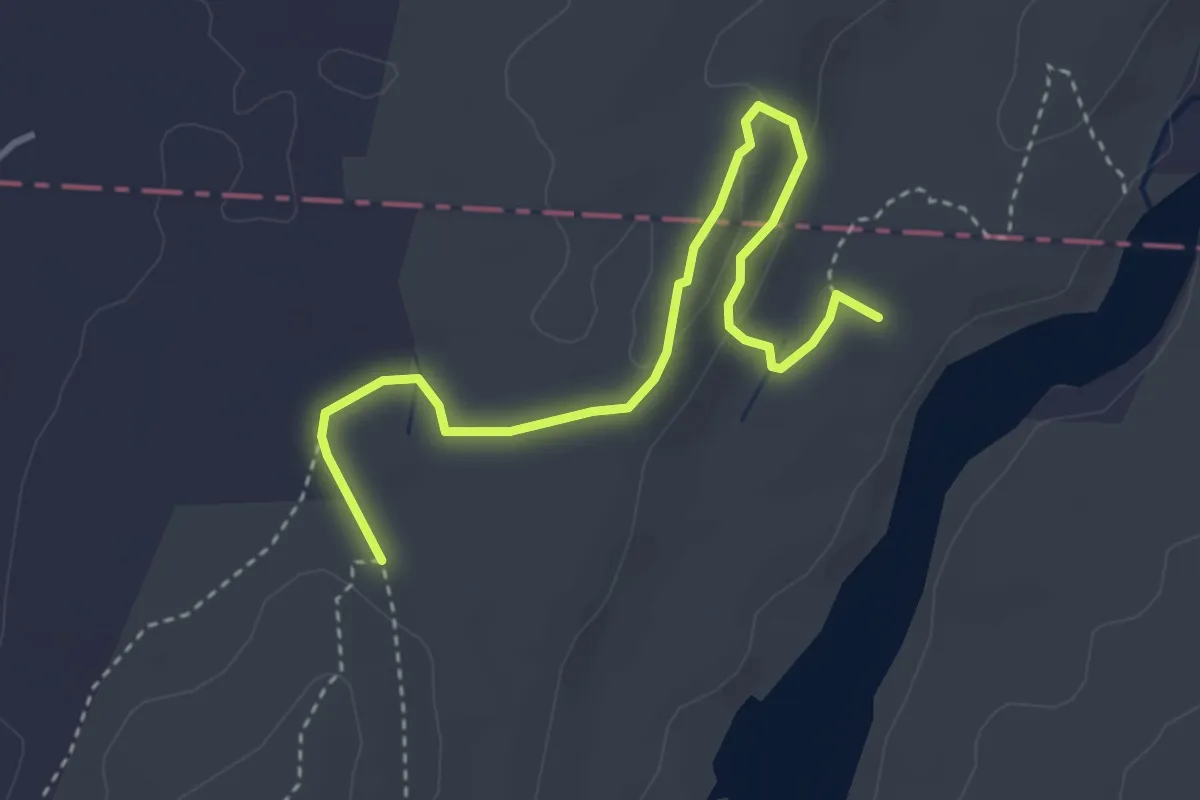
Easy · Summit
Ridge Trail
4.3 km · ↑ 181 m · 1 h 24 min · 15 km away
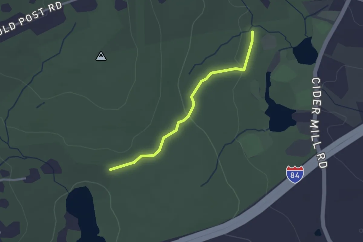
Easy · Trail
Blue Trail
2.4 km · ↑ 40 m · 39 min · 15 km away
Easy · Trail
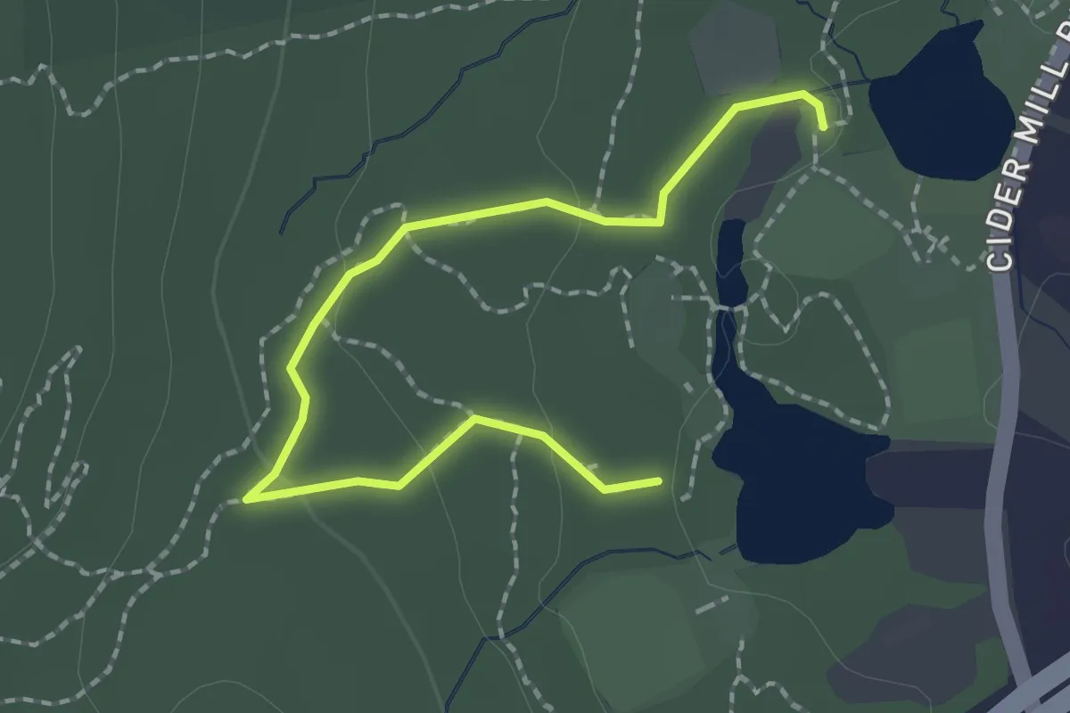
Yellow Trail
2.4 km · ↑ 56 m · 41 min · 15 km away