Trails near Tenafly
25 hikes starting within 15 km, nearest first.
Nearest first
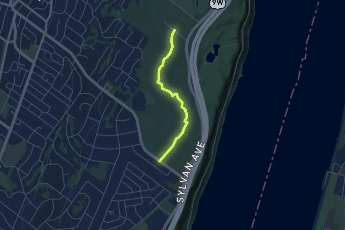
Easy · Trail
Allison Trail
4.5 km · ↑ 13 m · 1 h 5 min · 2 km away
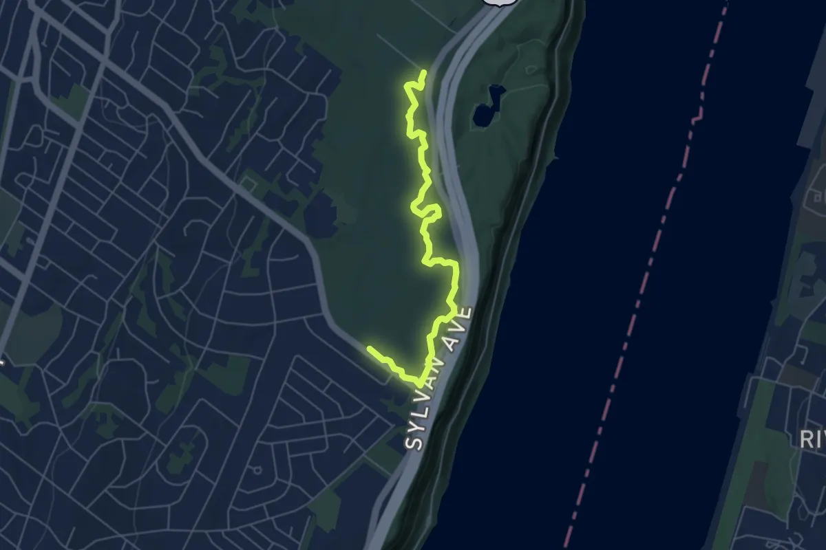
Easy · Trail
Little Chism Trail
6.2 km · ↑ 19 m · 1 h 30 min · 2 km away
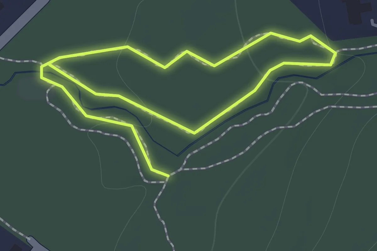
Easy · Trail
Orange Trail
2.1 km · ↑ 32 m · 33 min · 5 km away
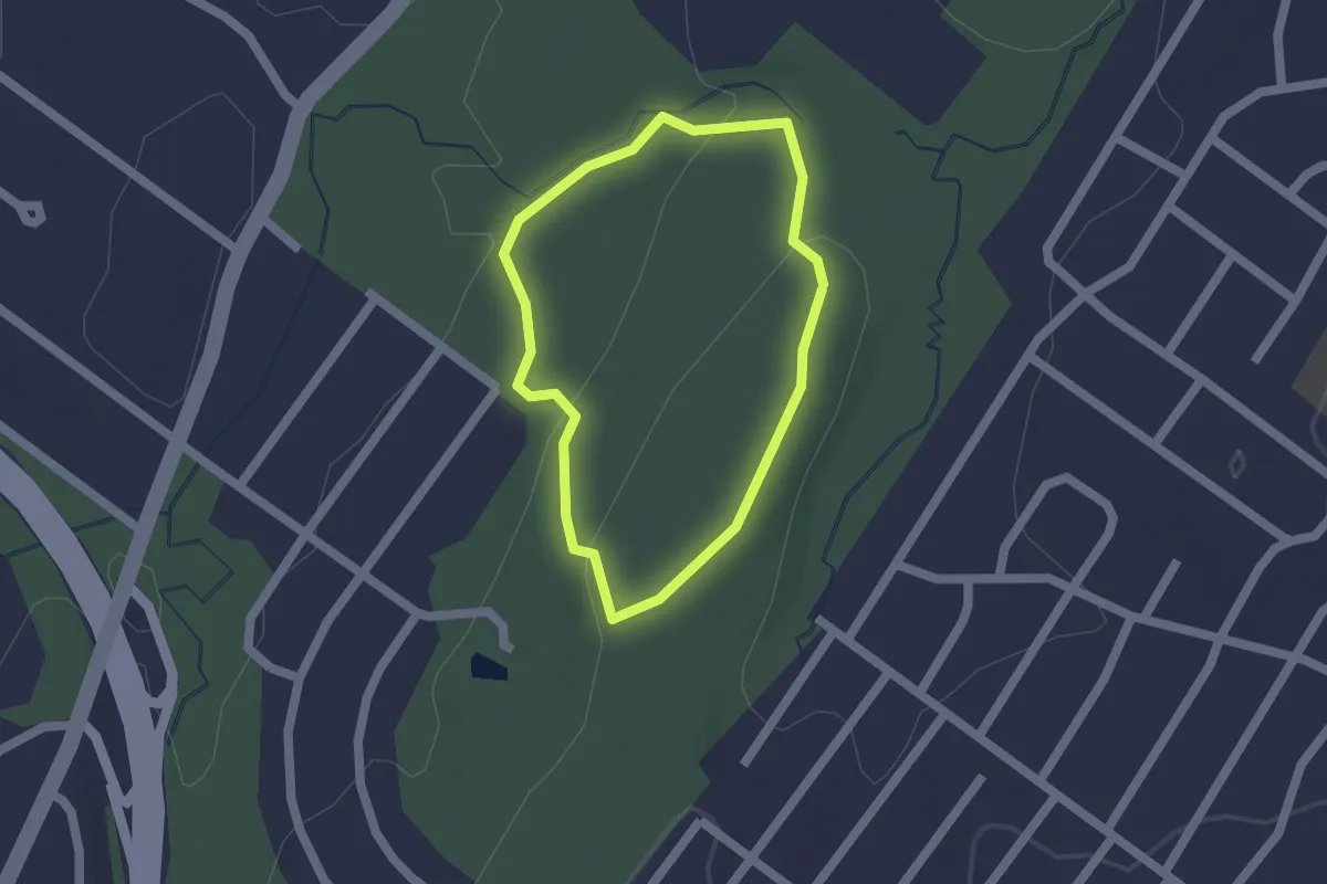
Easy · Trail
Red Trail
1.5 km · ↑ 47 m · 29 min · 5 km away
Easy · Trail
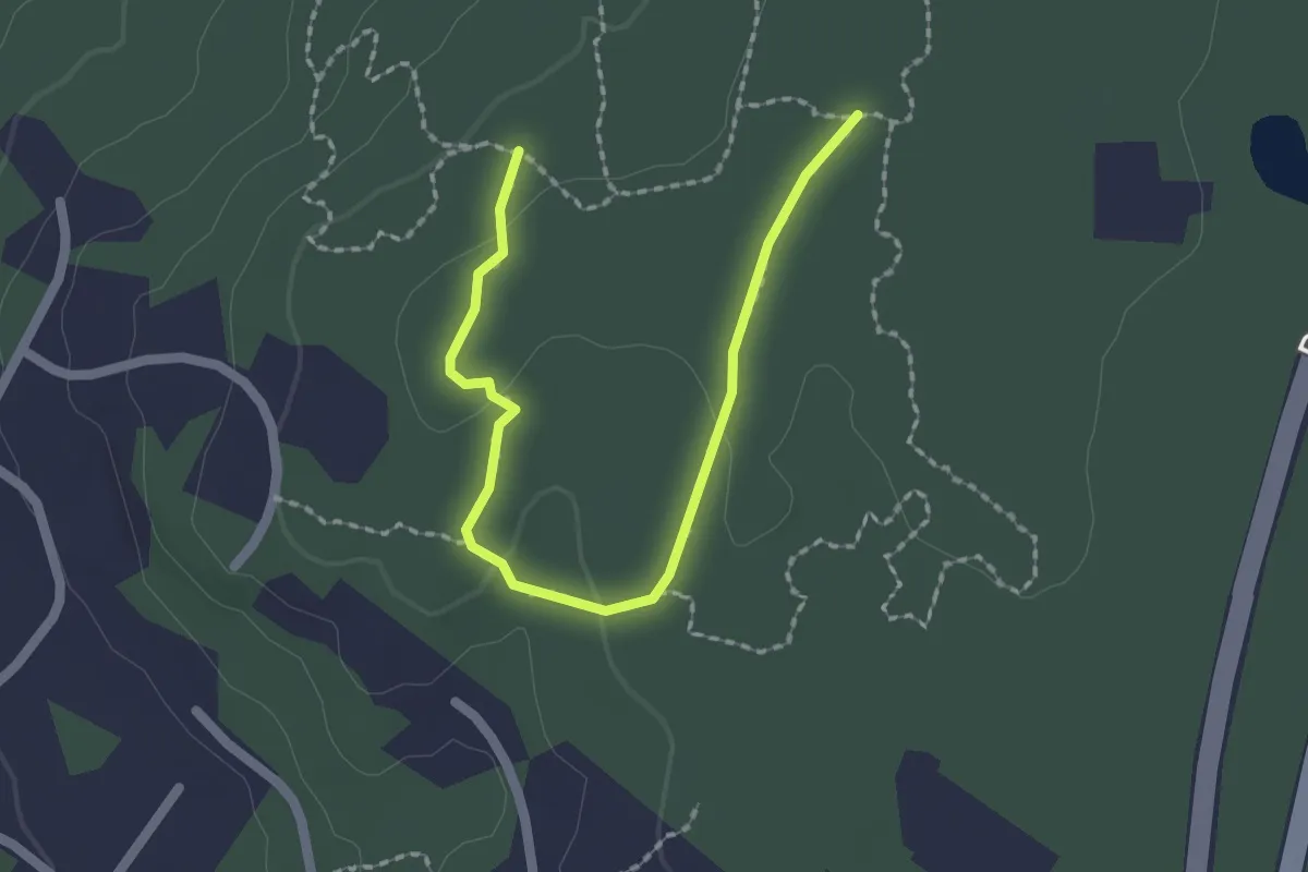
Green Trail
2.5 km · ↑ 29 m · 39 min · 5 km away
Easy · Trail
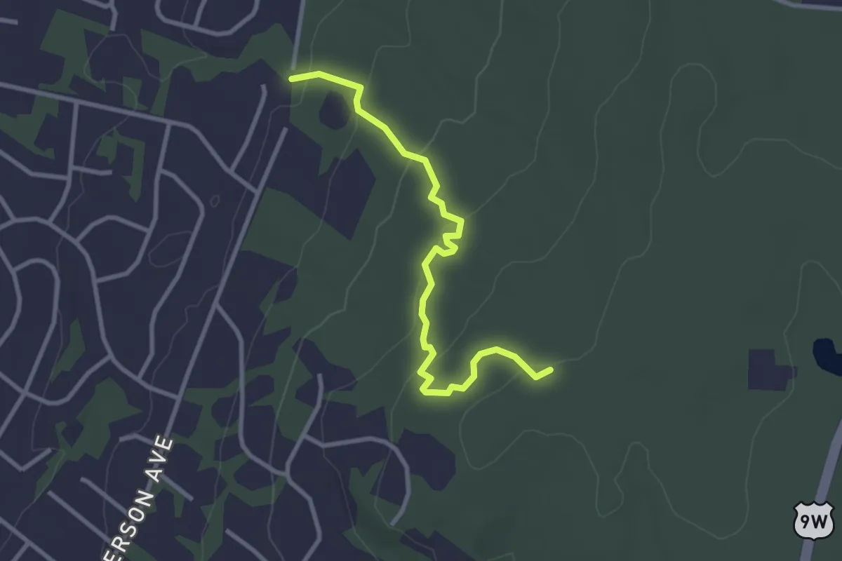
Wild Turkey Trail
3.3 km · ↑ 114 m · 1 h 1 min · 6 km away
Easy · Trail
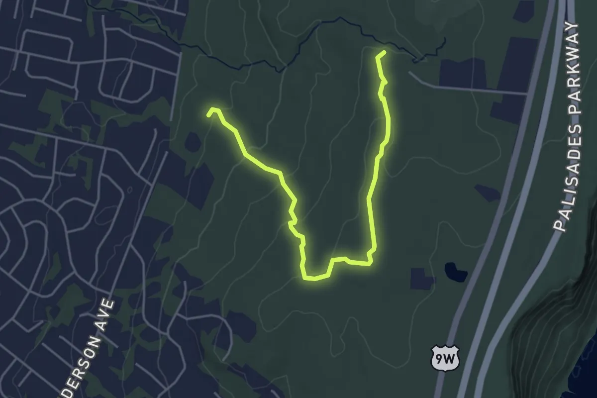
Yellow Dot Trail
5.0 km · ↑ 111 m · 1 h 25 min · 6 km away
Easy · Trail
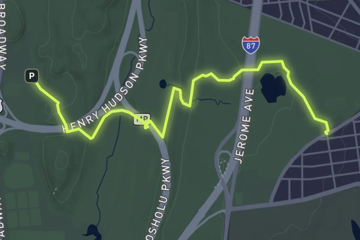
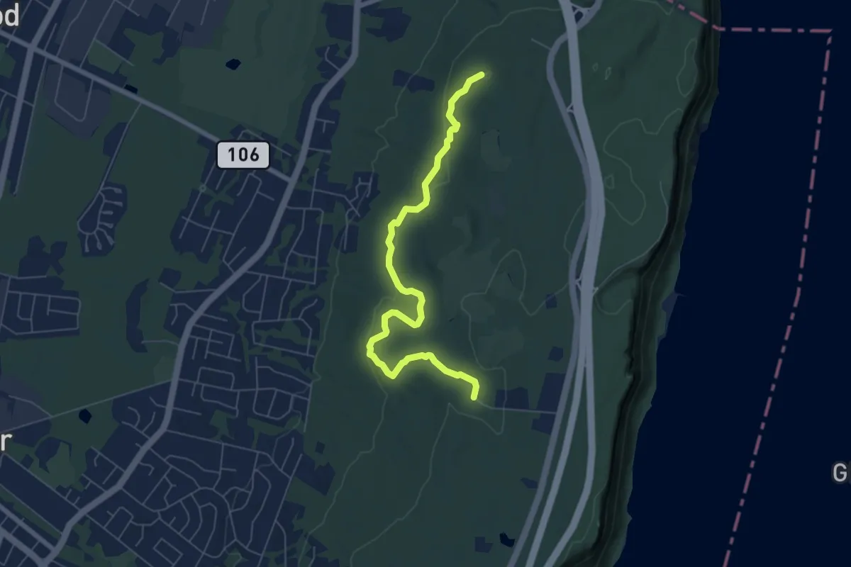
John Muir Nature Trail
6.1 km · ↑ 73 m · 1 h 36 min · 6 km away
Easy · Trail
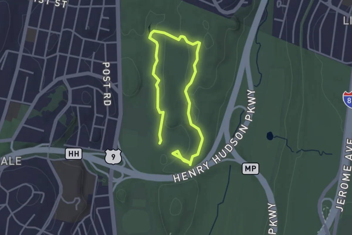
Red Dot Trail
7.3 km · ↑ 169 m · 2 h 6 min · 7 km away
Easy · Trail
Cass Gallagher Nature Trail
4.7 km · ↑ 92 m · 1 h 18 min · 7 km away
Medium · Trail
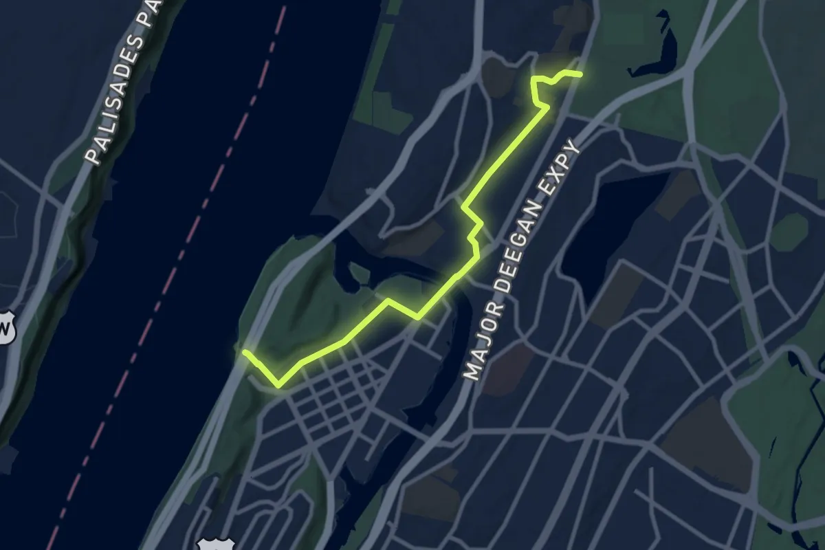
Hudson Valley Greenway Trail (Inwood to The Bronx)
9.7 km · ↑ 51 m · 2 h 25 min · 7 km away
Easy · Trail
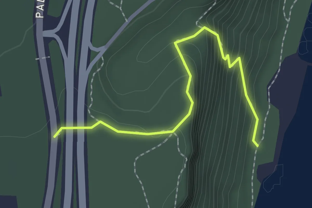
Forest View Trail
2.2 km · ↑ 166 m · 53 min · 7 km away
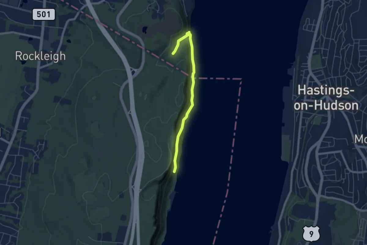
Easy · Trail
Shore Trail
5.3 km · ↑ 186 m · 1 h 40 min · 8 km away
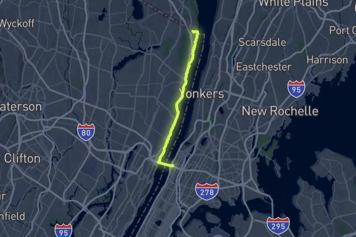
Demanding · Trail
Long Path - Section 1
21.6 km · ↑ 517 m · 6 h 29 min · 9 km away
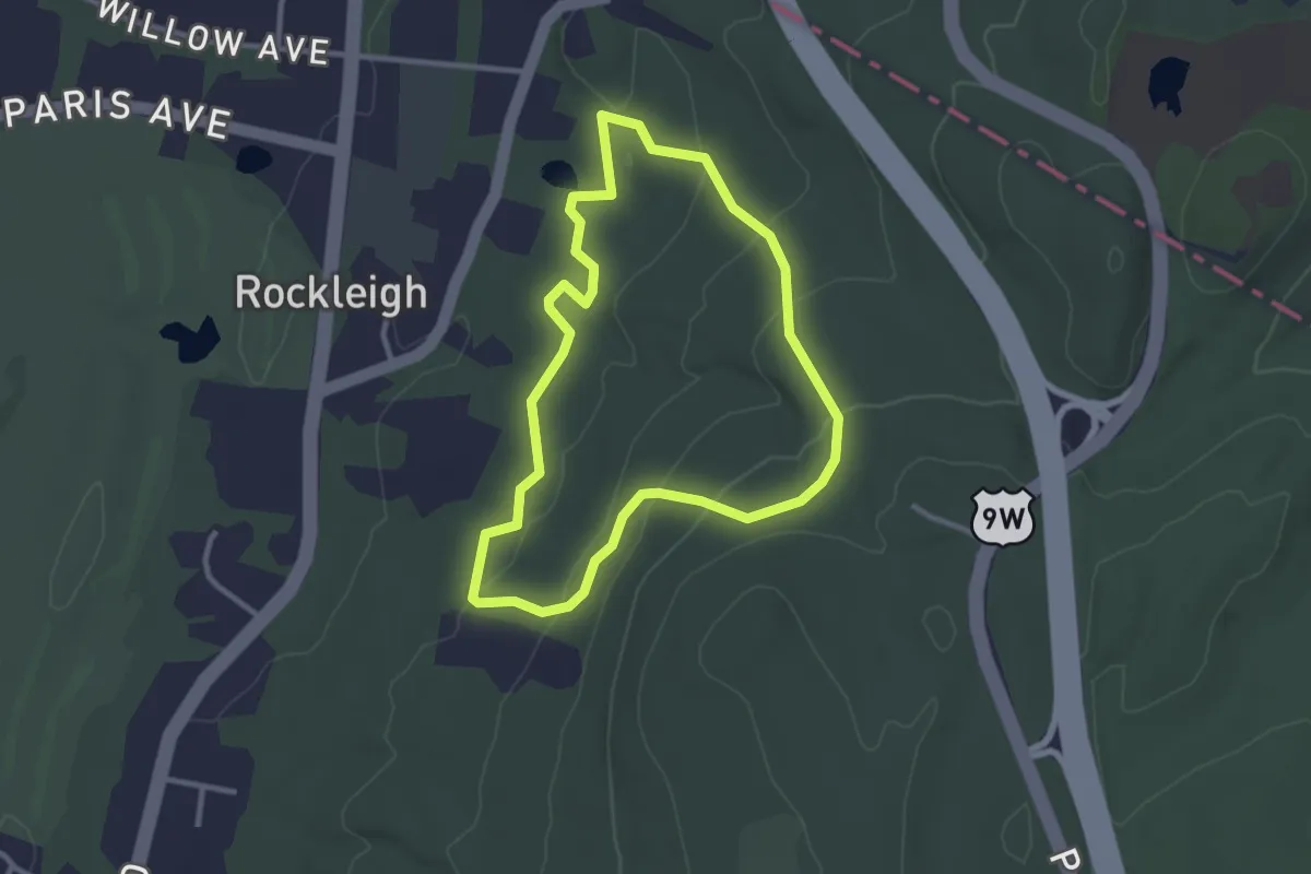
Easy · Trail
Sneden Harring Lamont Trail (Yellow)
3.0 km · ↑ 81 m · 55 min · 9 km away
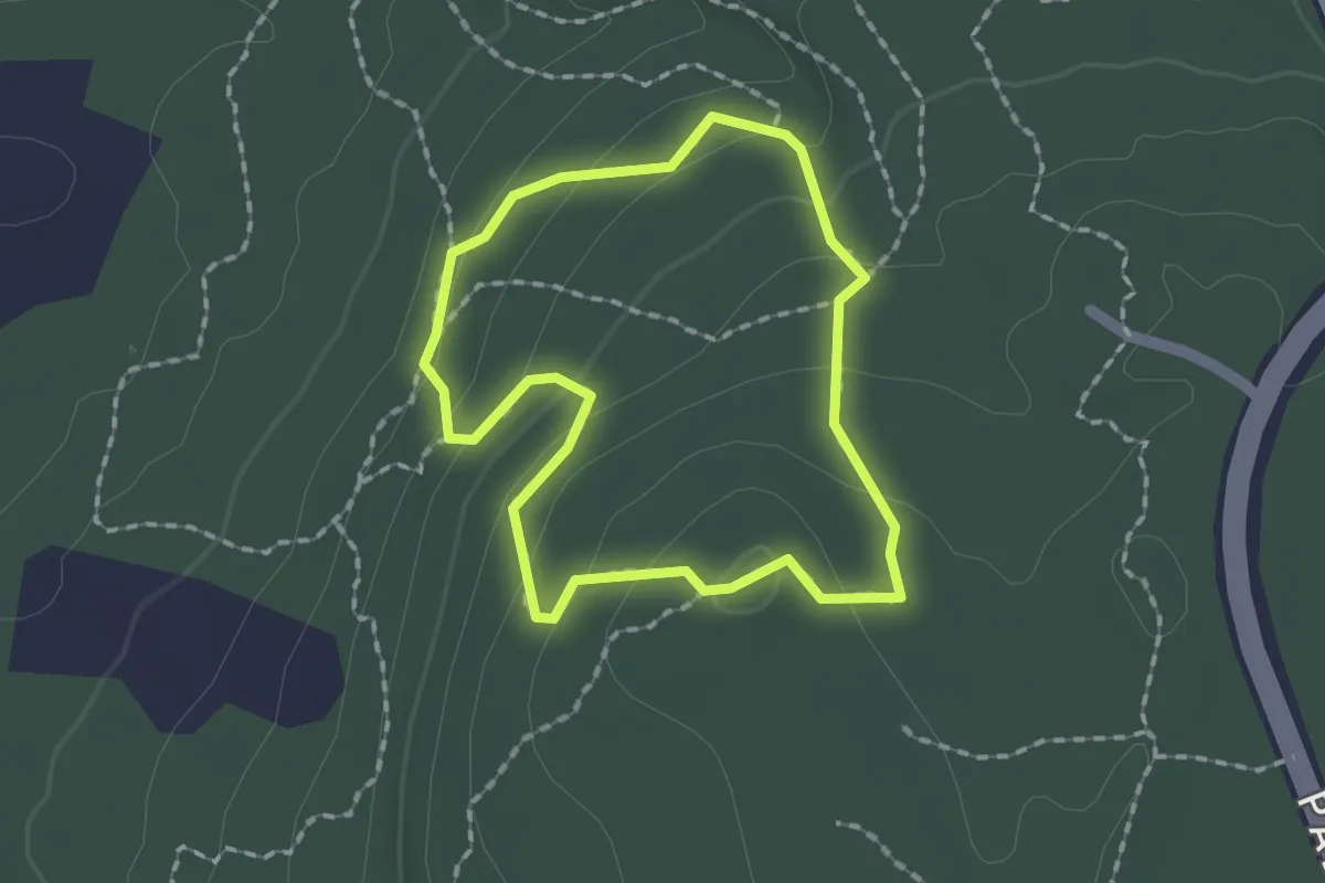
Easy · Trail
Lamont Rock Trail
1.6 km · ↑ 87 m · 36 min · 9 km away
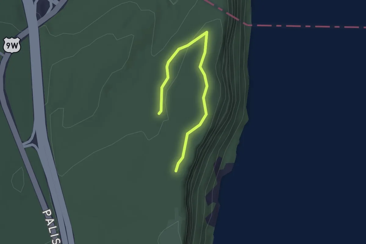
Easy · Trail
Trail E
2.3 km · ↑ 45 m · 38 min · 9 km away
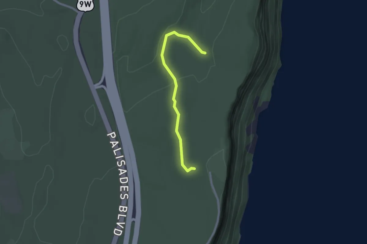
Easy · Trail
Trail C
2.1 km · ↑ 49 m · 37 min · 9 km away
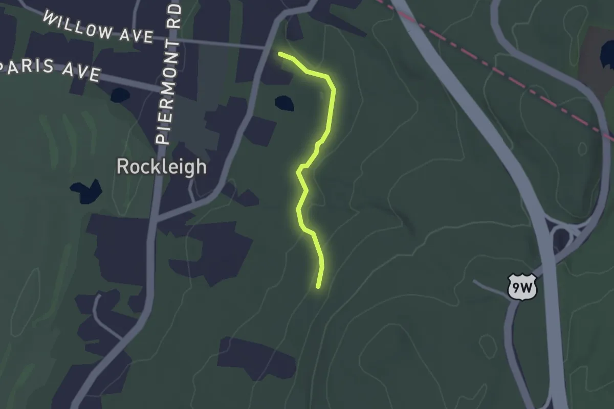
Easy · Trail
Hutcheon Trail
2.1 km · ↑ 41 m · 34 min · 9 km away
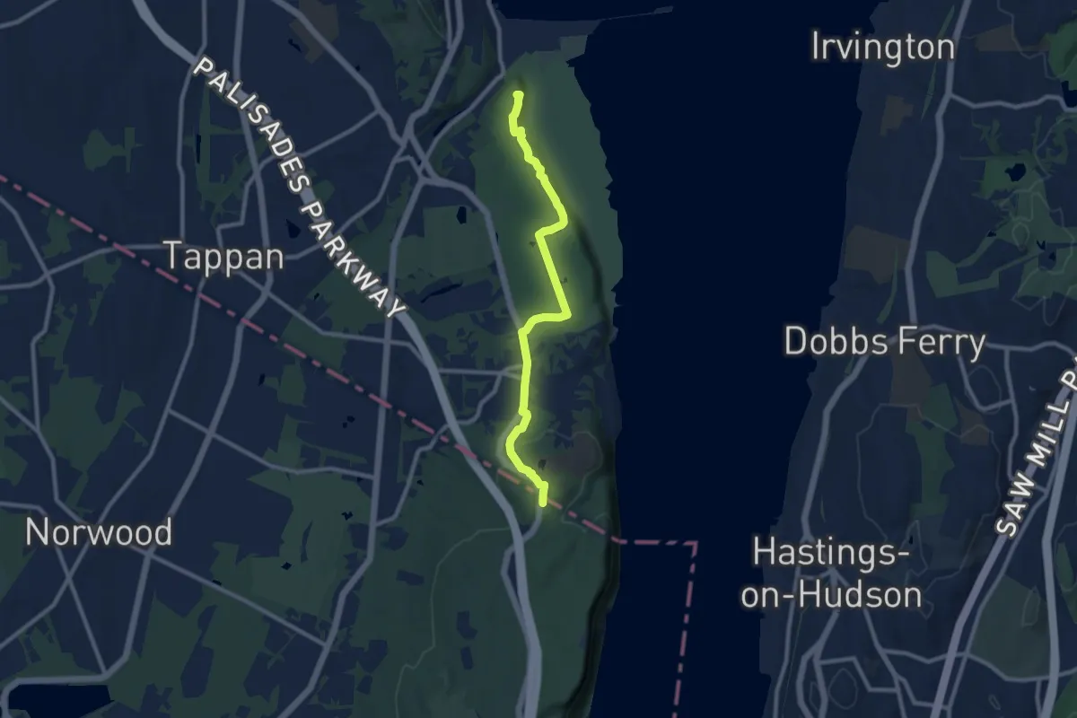
Medium · Summit
Long Path - Section 2
9.9 km · ↑ 128 m · 2 h 38 min · 9 km away
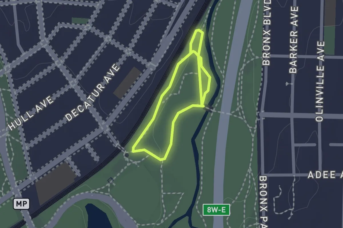
Easy · Trail
Blue Trail
2.7 km · ↑ 8 m · 39 min · 9 km away
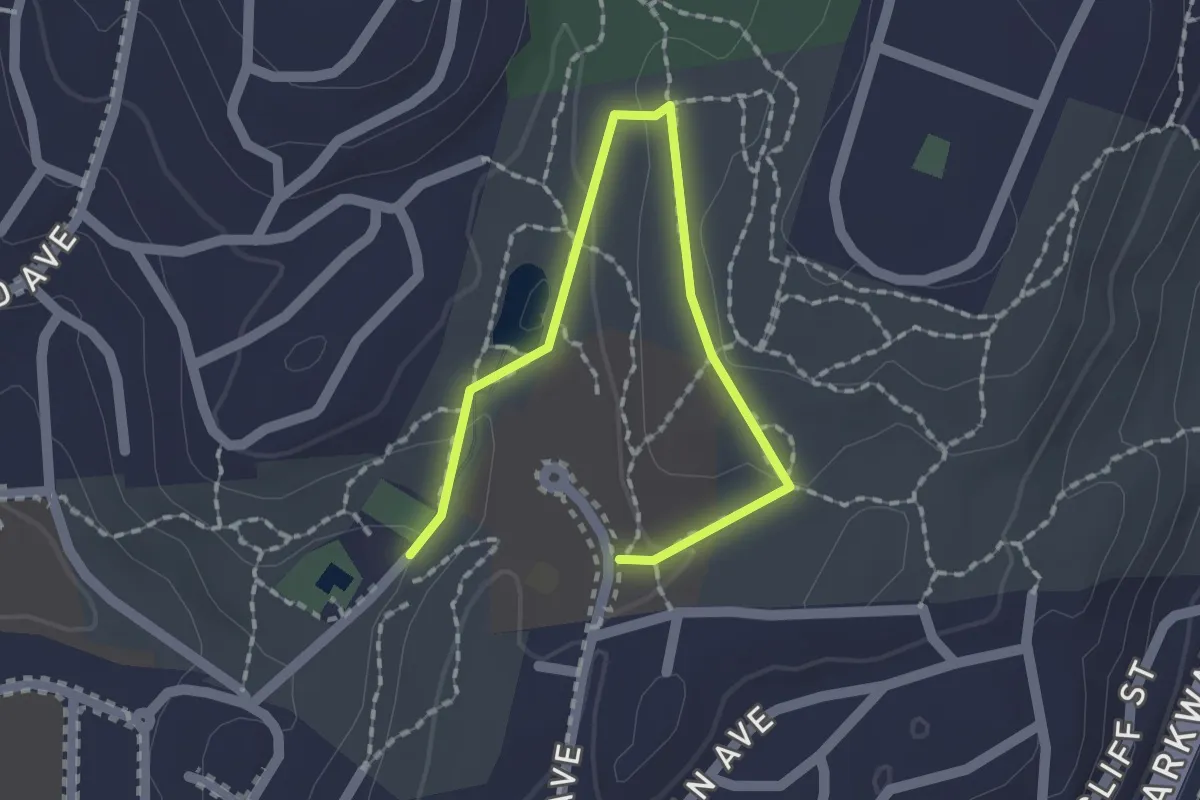
Easy · Trail
Broad Trail
2.3 km · ↑ 60 m · 40 min · 11 km away
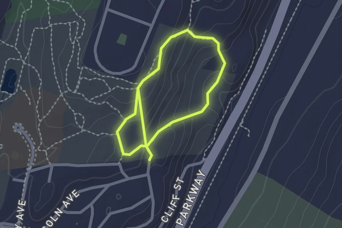
Easy · Trail
Algonquin Trail
3.1 km · ↑ 165 m · 1 h 5 min · 11 km away
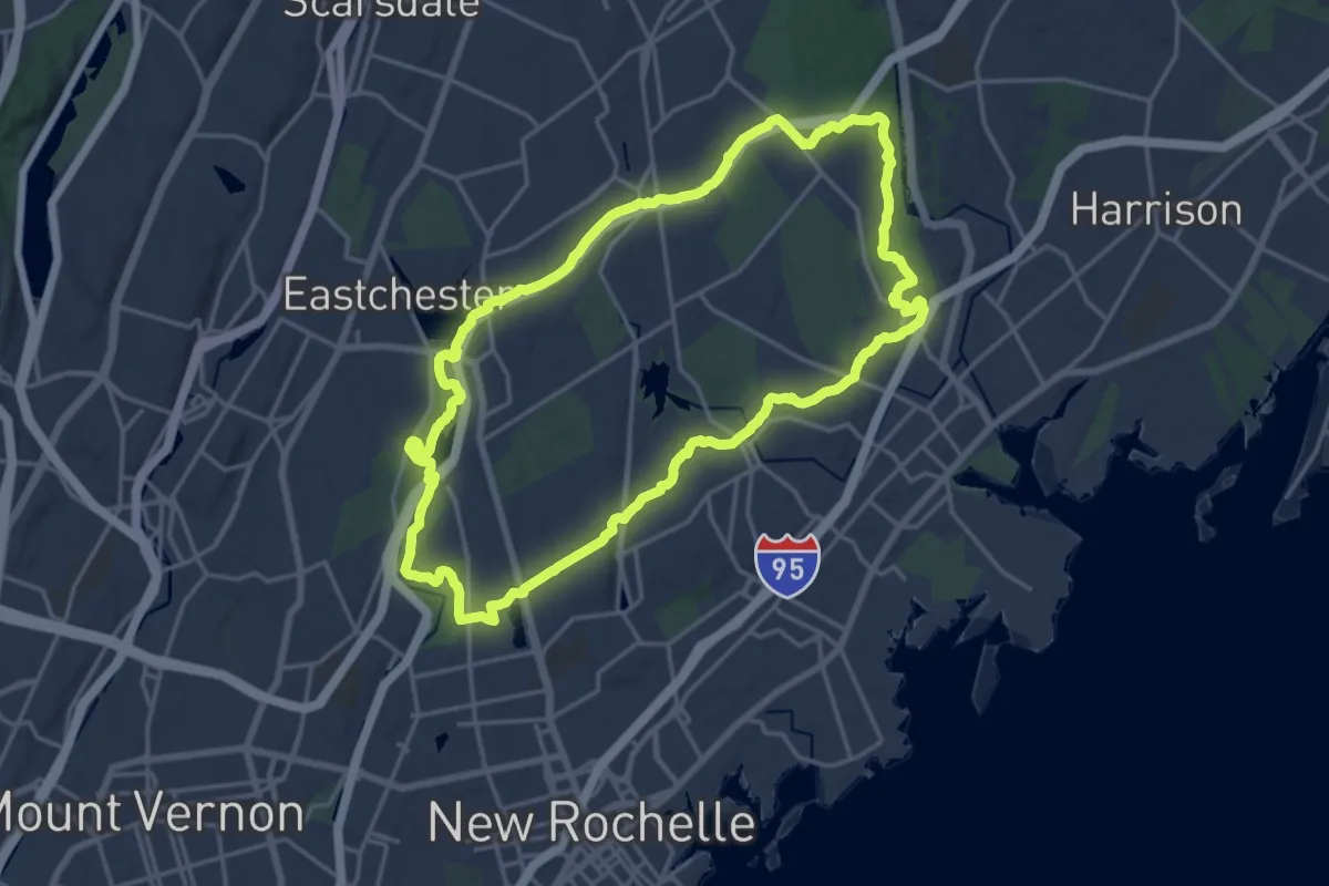
Demanding · Trail
Colonial Greenway
19.9 km · ↑ 236 m · 5 h 29 min · 14 km away
Medium · Trail
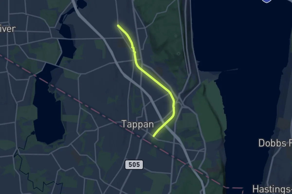
Joseph B. Clarke Rail-Trail
12.1 km · ↑ 57 m · 2 h 59 min · 15 km away