Trails near Troy
23 hikes starting within 15 km, nearest first.
Nearest first
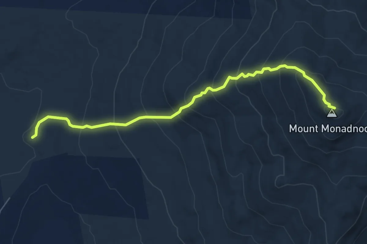
Medium · Summit
Marlboro Trail
6.1 km · ↑ 544 m · 2 h 37 min · 5 km away
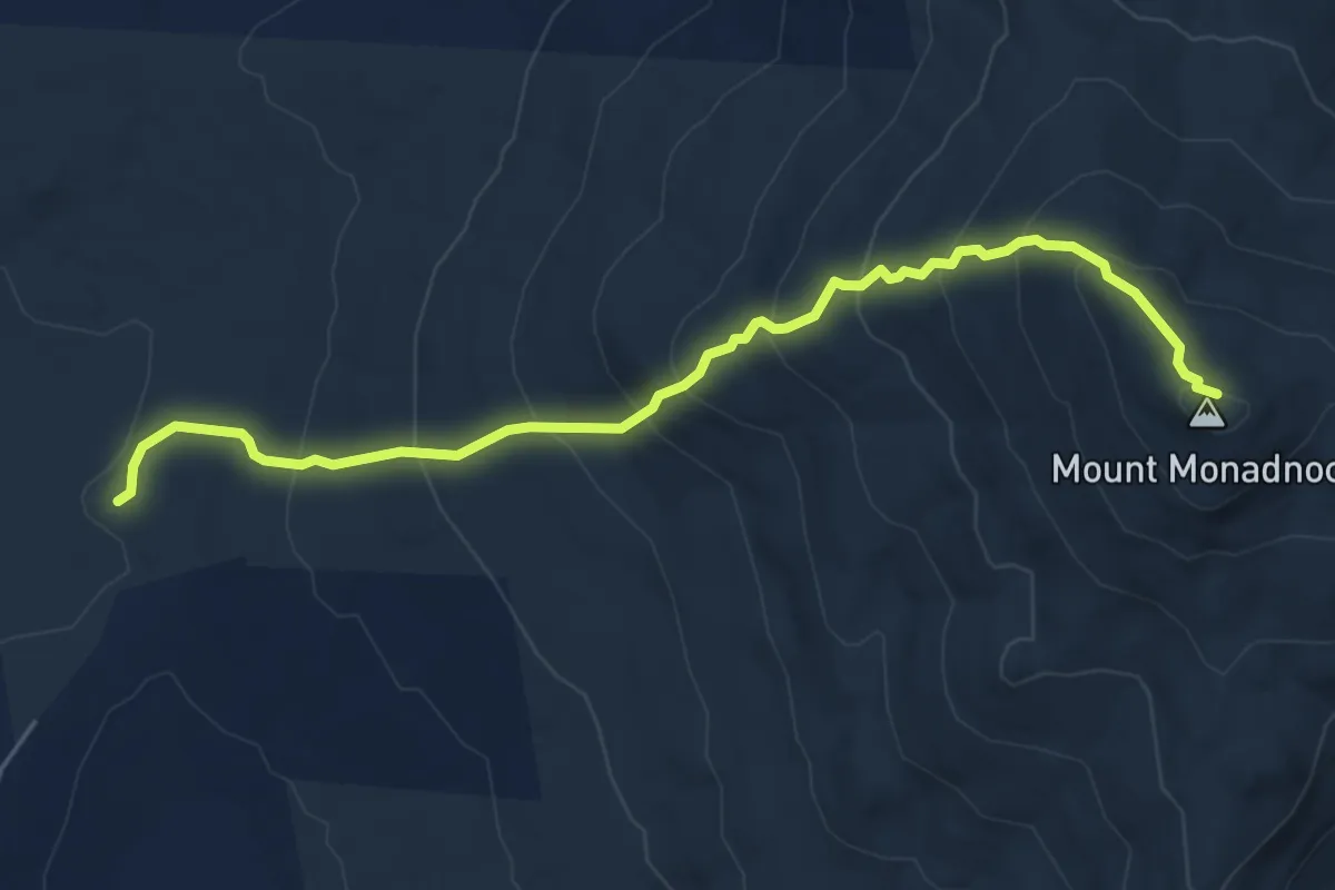
Medium · Summit
Marlboro Trail
6.1 km · ↑ 544 m · 2 h 37 min · 5 km away
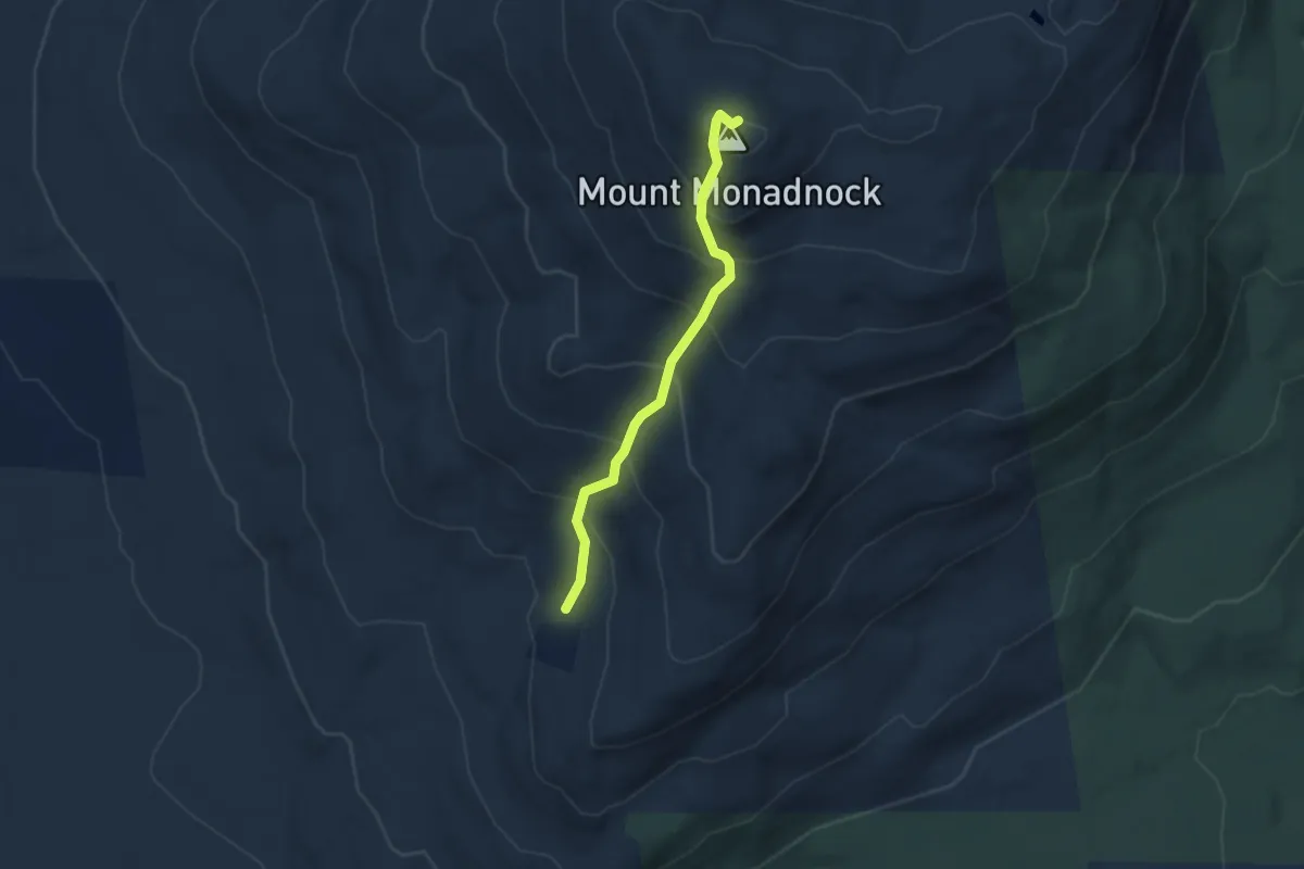
Medium · Summit
White Arrow Trail
3.1 km · ↑ 336 m · 1 h 27 min · 6 km away
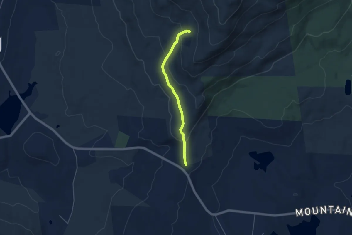
Easy · Trail
Old Halfway House Trail
3.8 km · ↑ 156 m · 1 h 14 min · 6 km away
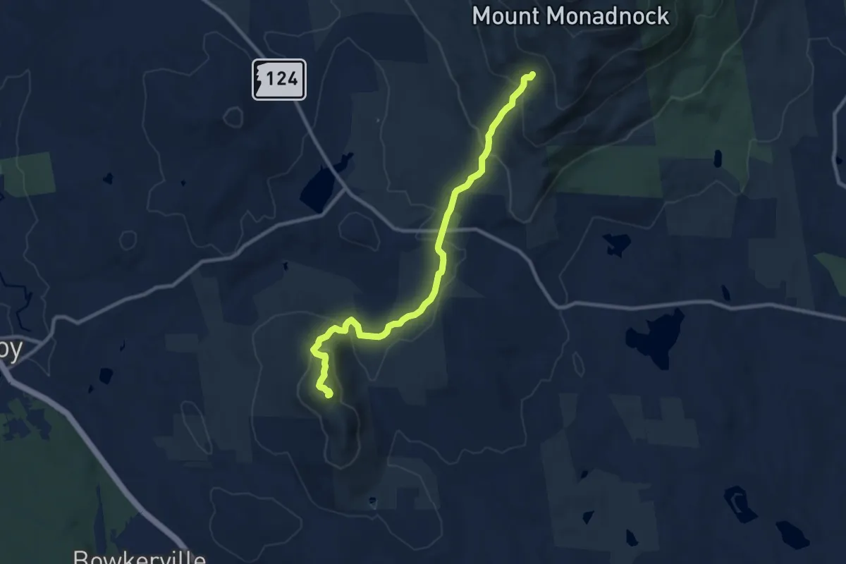
Medium · Summit
Royce Trail
10.4 km · ↑ 480 m · 3 h 30 min · 6 km away
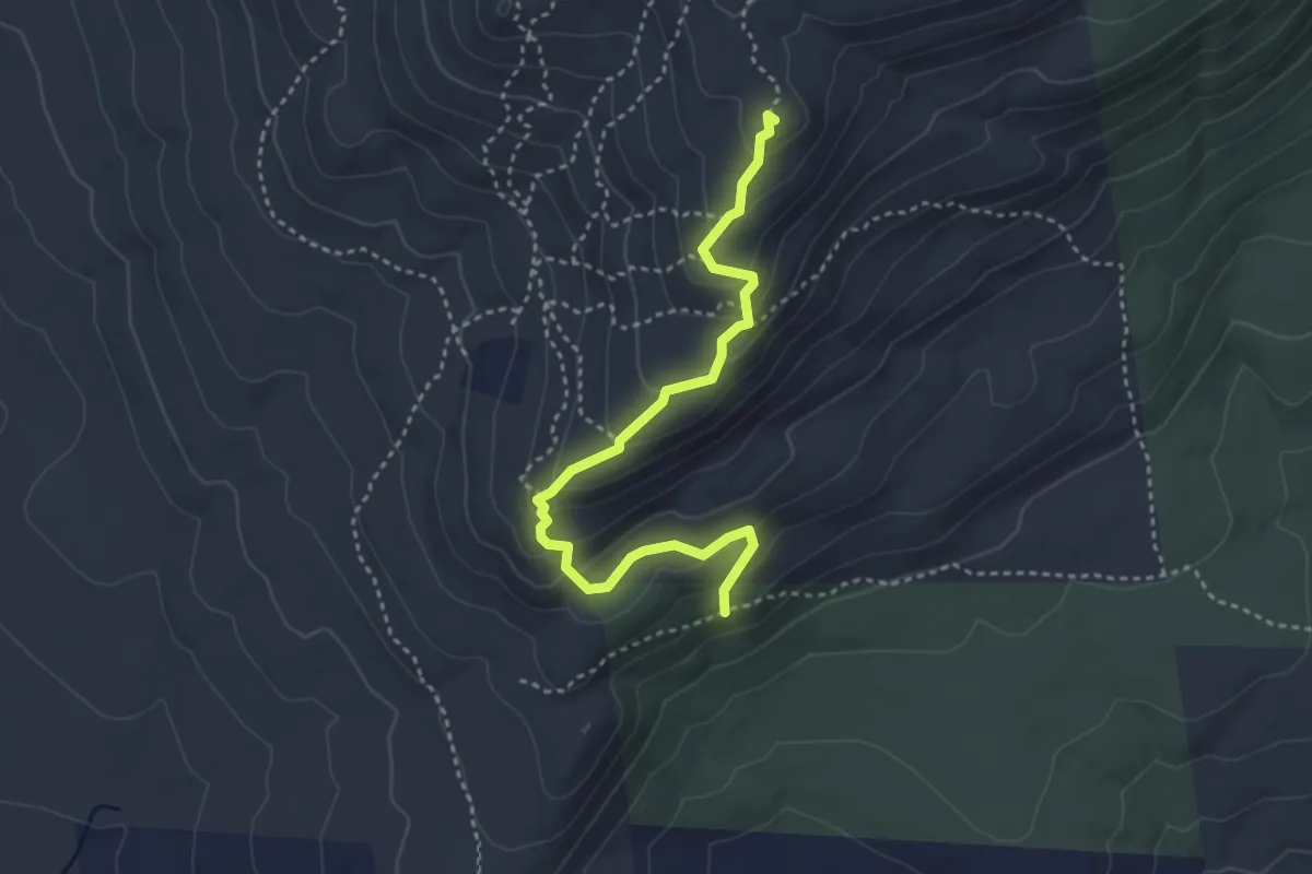
Easy · Summit
Cliff Walk
4.0 km · ↑ 263 m · 1 h 31 min · 6 km away
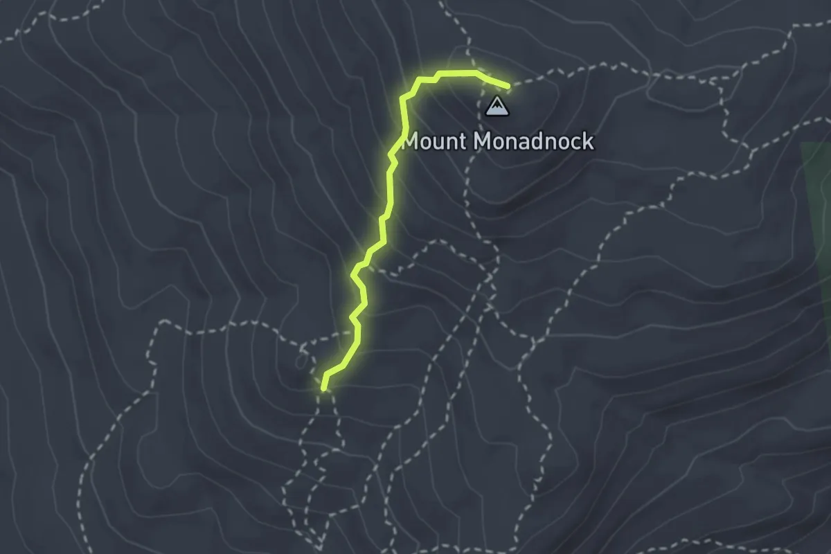
Easy · Summit
Smith Summit Trail
2.1 km · ↑ 209 m · 56 min · 7 km away
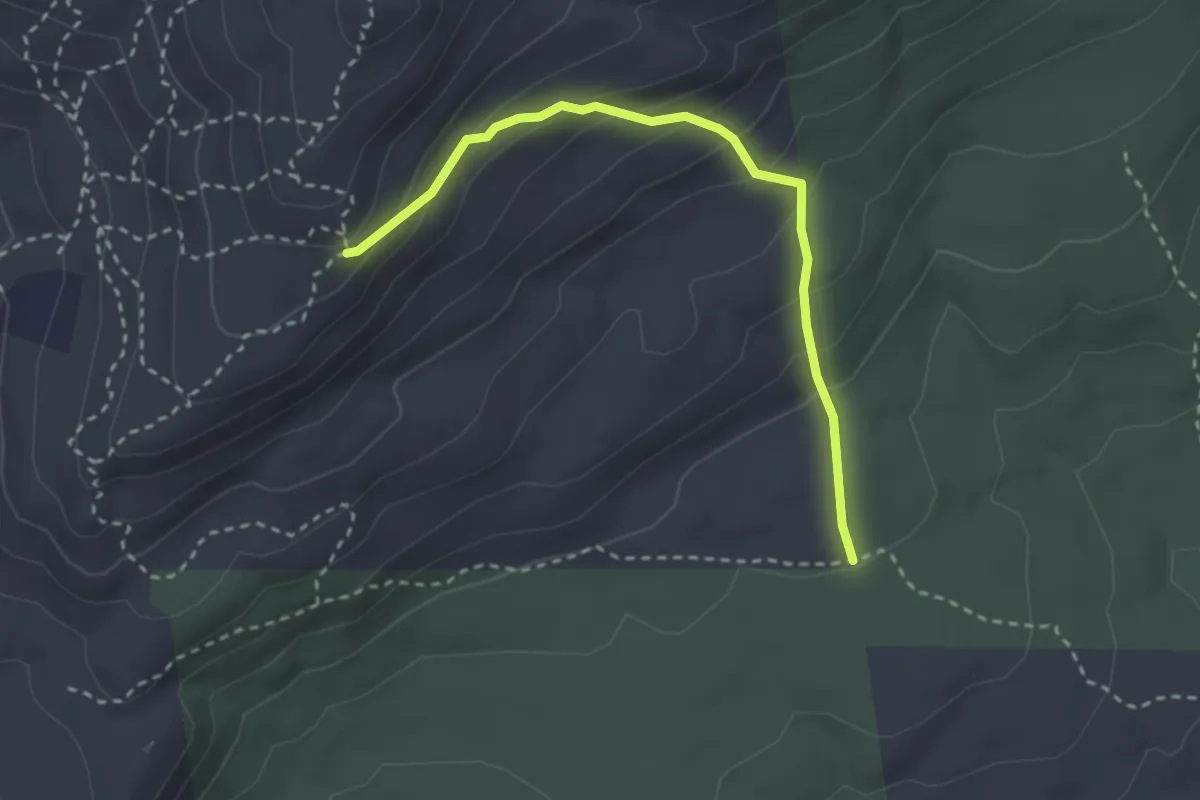
Easy · Trail
Lost Farm Trail
3.1 km · ↑ 232 m · 1 h 14 min · 7 km away
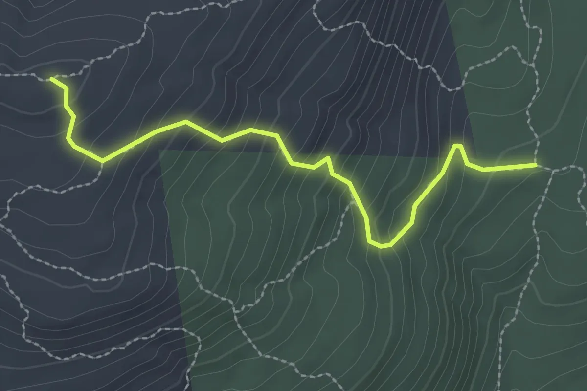
Easy · Trail
Red Spot Trail
2.7 km · ↑ 259 m · 1 h 12 min · 8 km away
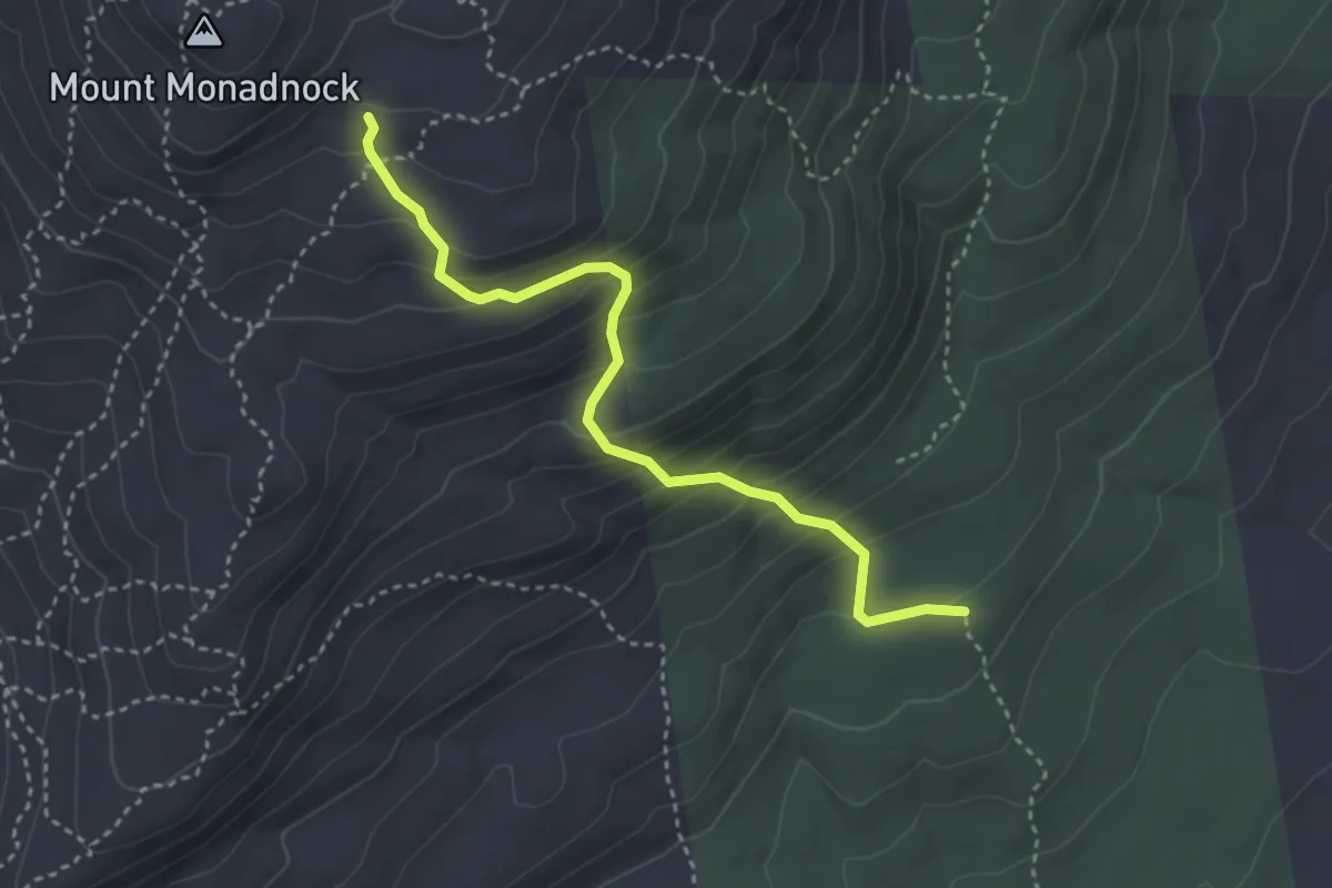
Medium · Trail
White Cross Trail
3.7 km · ↑ 356 m · 1 h 39 min · 8 km away
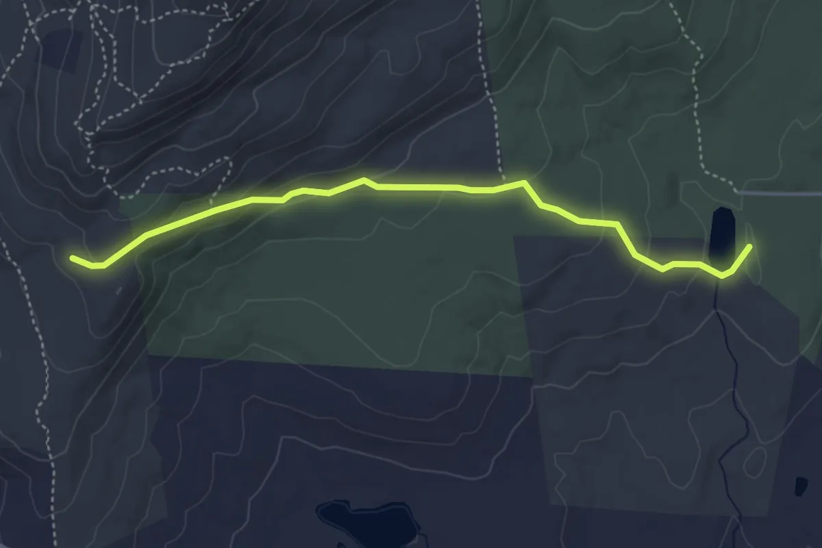
Easy · Trail
Parker Trail
4.6 km · ↑ 161 m · 1 h 26 min · 8 km away
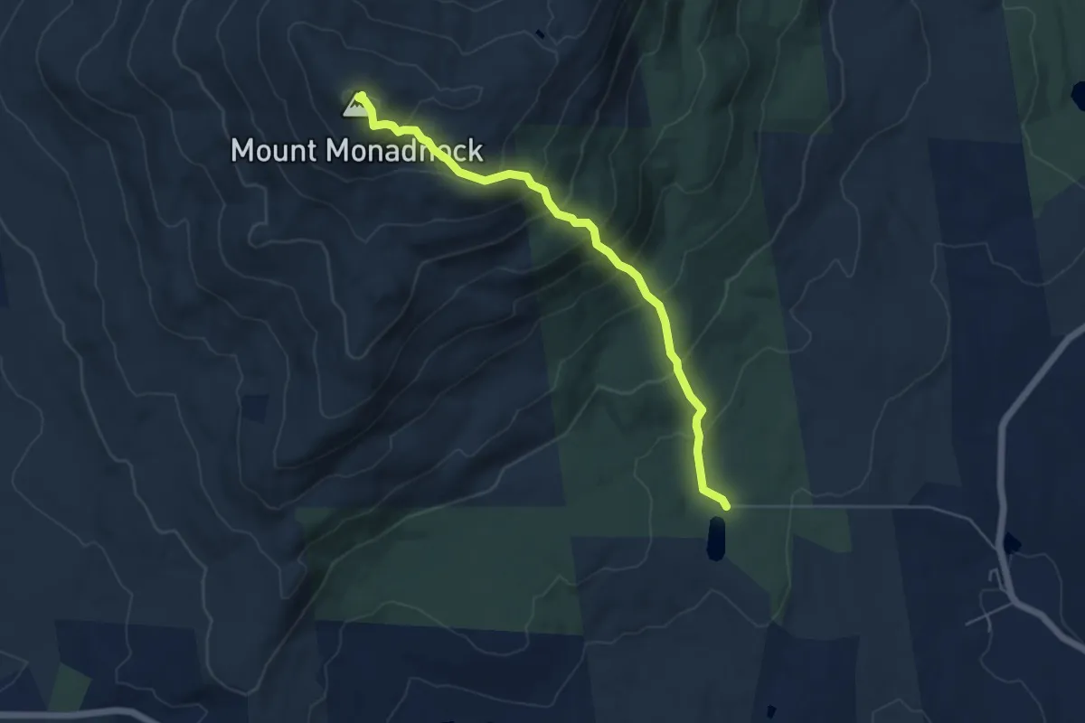
Medium · Summit
White Dot Trail
5.6 km · ↑ 534 m · 2 h 28 min · 8 km away
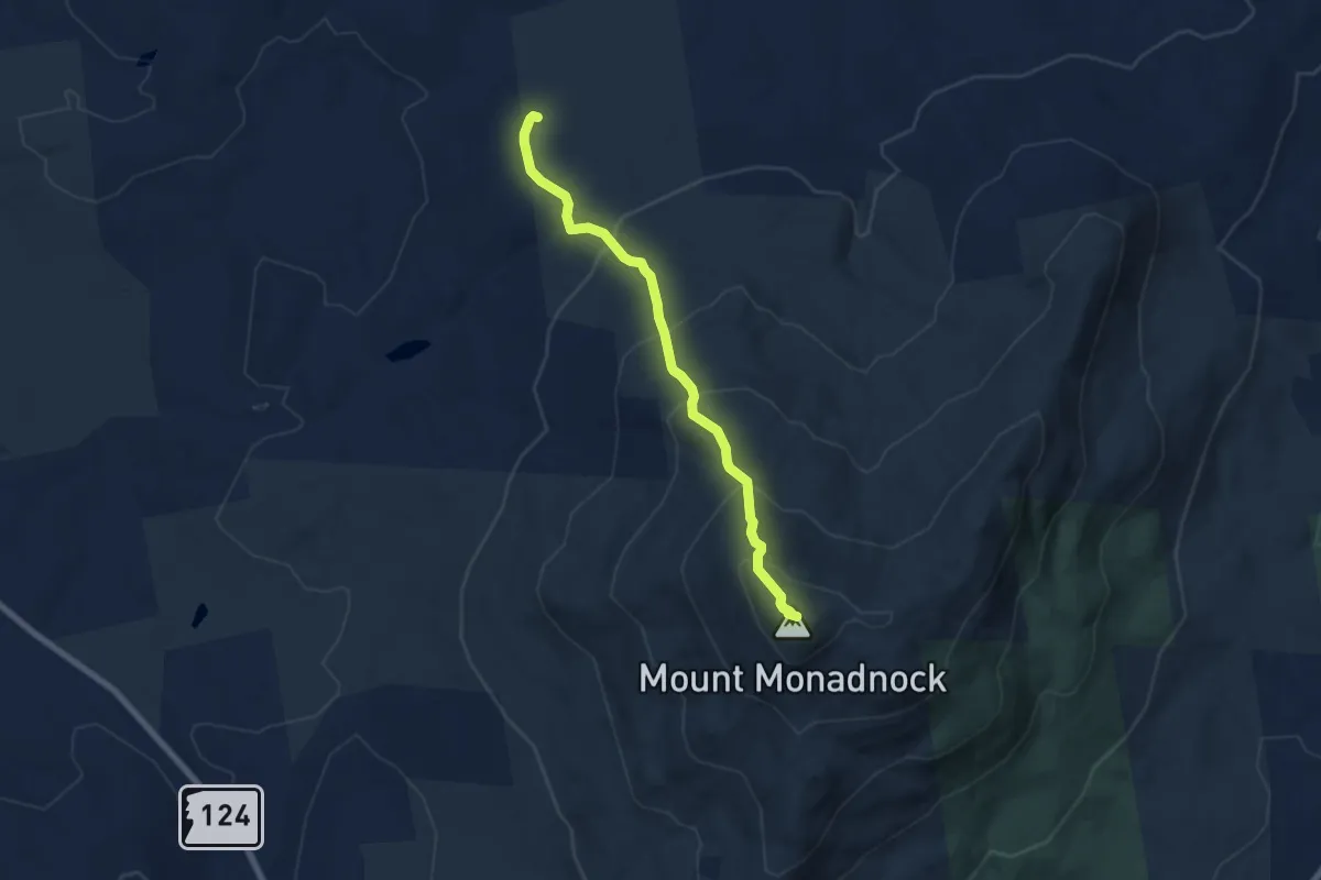
Medium · Summit
Dublin Trai
6.9 km · ↑ 506 m · 2 h 44 min · 8 km away
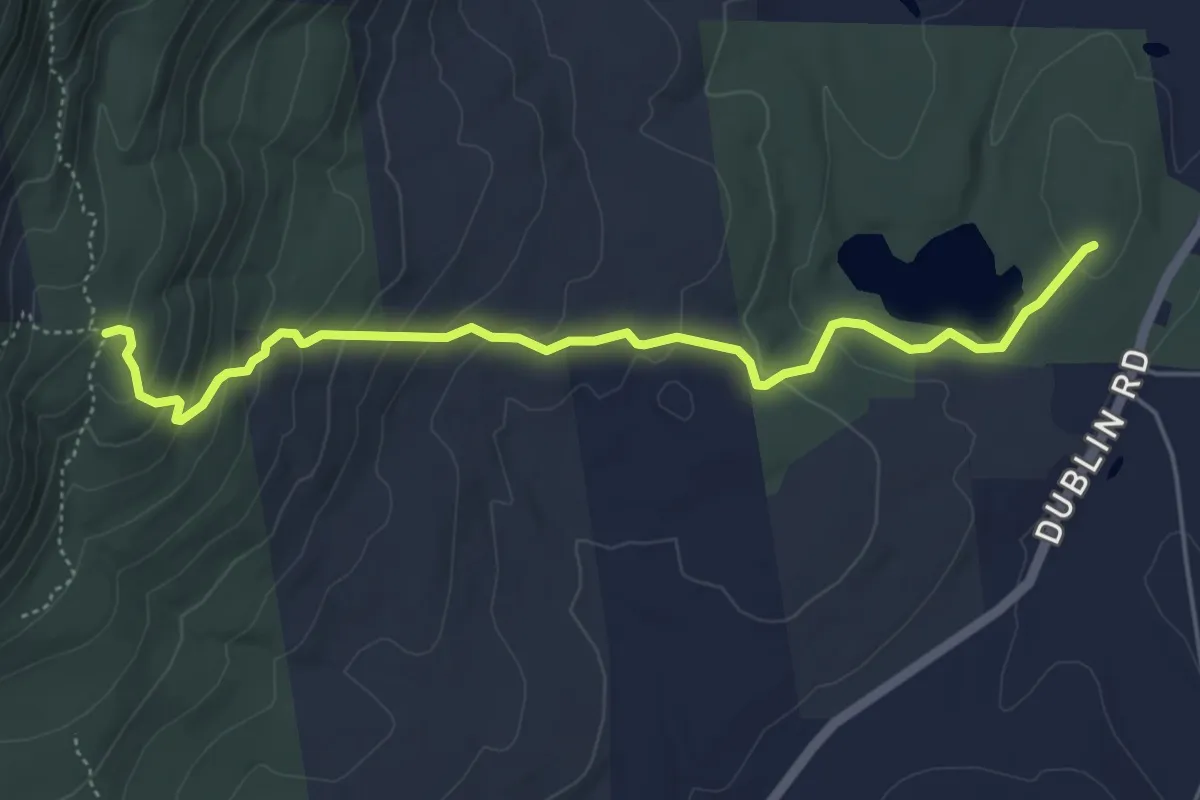
Easy · Trail
Birchtoft Trail
5.7 km · ↑ 297 m · 2 h · 8 km away
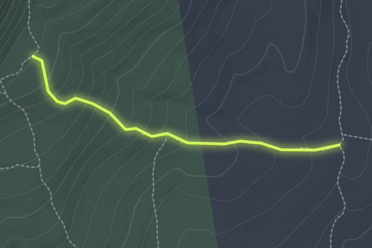
Easy · Trail
Harling Trail
2.2 km · ↑ 133 m · 48 min · 9 km away
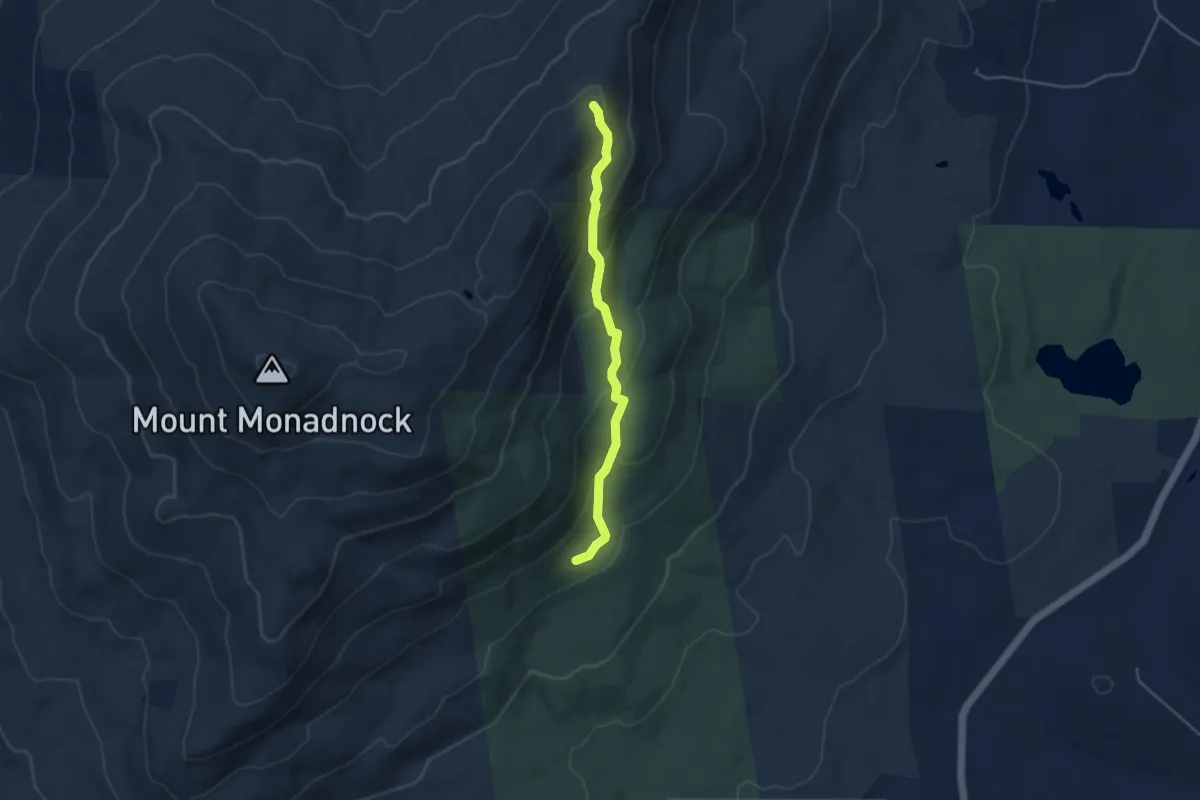
Easy · Trail
Cascade Link
4.1 km · ↑ 257 m · 1 h 32 min · 9 km away
Easy · Trail
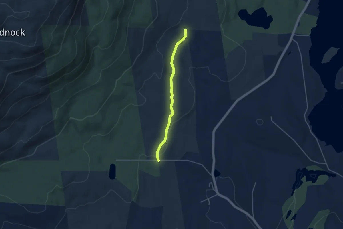
Hinkley Trail
3.5 km · ↑ 55 m · 56 min · 9 km away
Easy · Trail
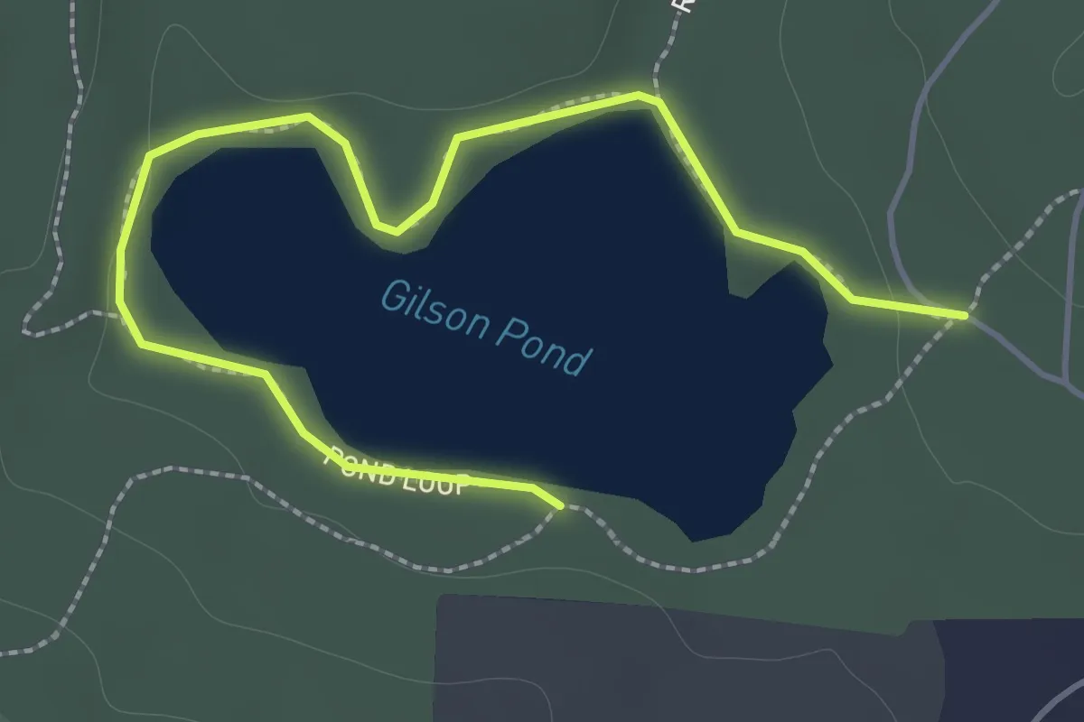
Pond Loop
2.1 km · ↑ 19 m · 33 min · 10 km away
Easy · Trail
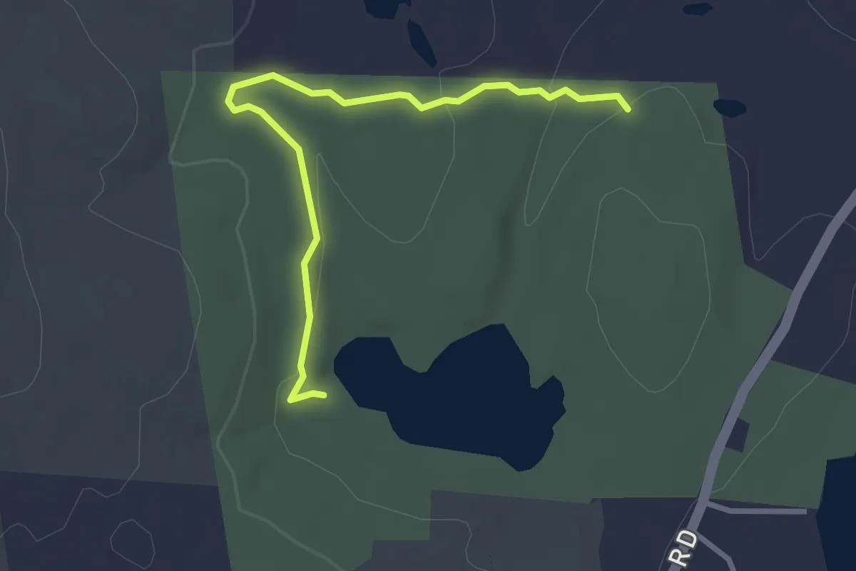
Gilson Pond Remote Campsites Loop
3.1 km · ↑ 69 m · 52 min · 11 km away
Medium · Summit
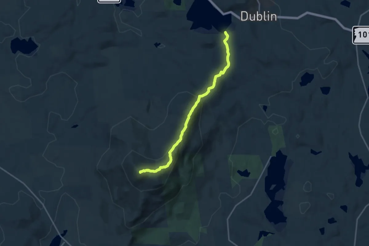
Pumpelly Trail
12.5 km · ↑ 599 m · 4 h 14 min · 12 km away
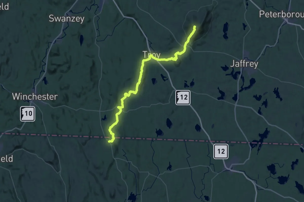
Demanding · Summit
Metacomet - Monadnock Trail
58.7 km · ↑ 2115 m · 18 h 26 min · 14 km away
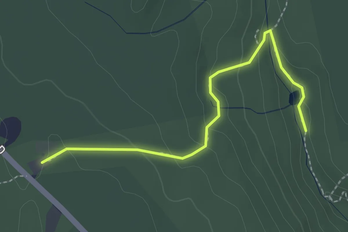
Demanding · Trail
Tully Trail
2.4 km · ↑ 92 m · 46 min · 14 km away
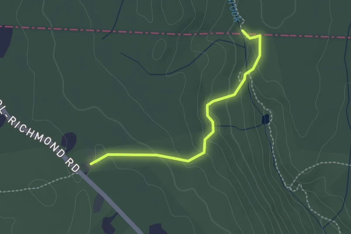
Demanding · Trail
New England National Scenic Trail
2.2 km · ↑ 91 m · 44 min · 14 km away