Trails near Urbana
23 hikes starting within 15 km, nearest first.
Nearest first
Easy · Trail
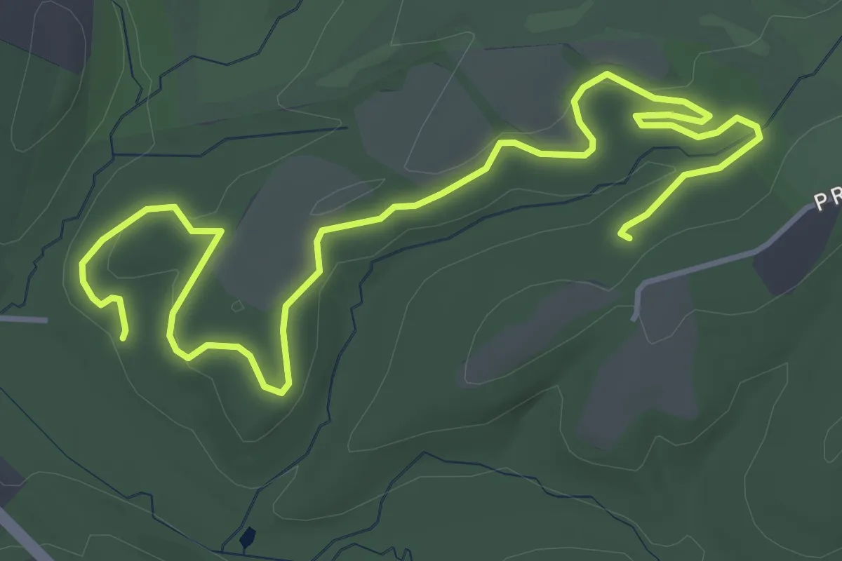
Sidewinder Trail
6.2 km · ↑ 120 m · 1 h 44 min · 7 km away
Easy · Trail
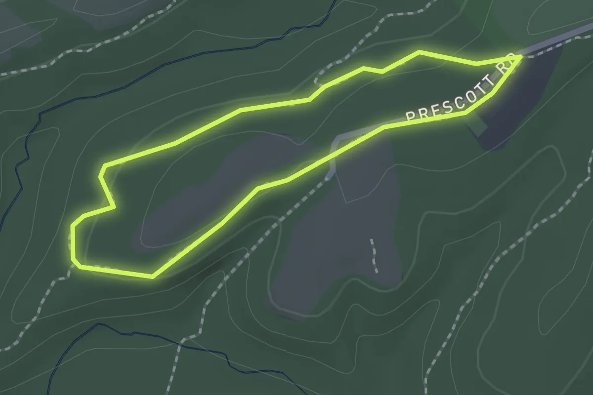
Dark Branch Trail
1.9 km · ↑ 24 m · 31 min · 7 km away
Easy · Trail
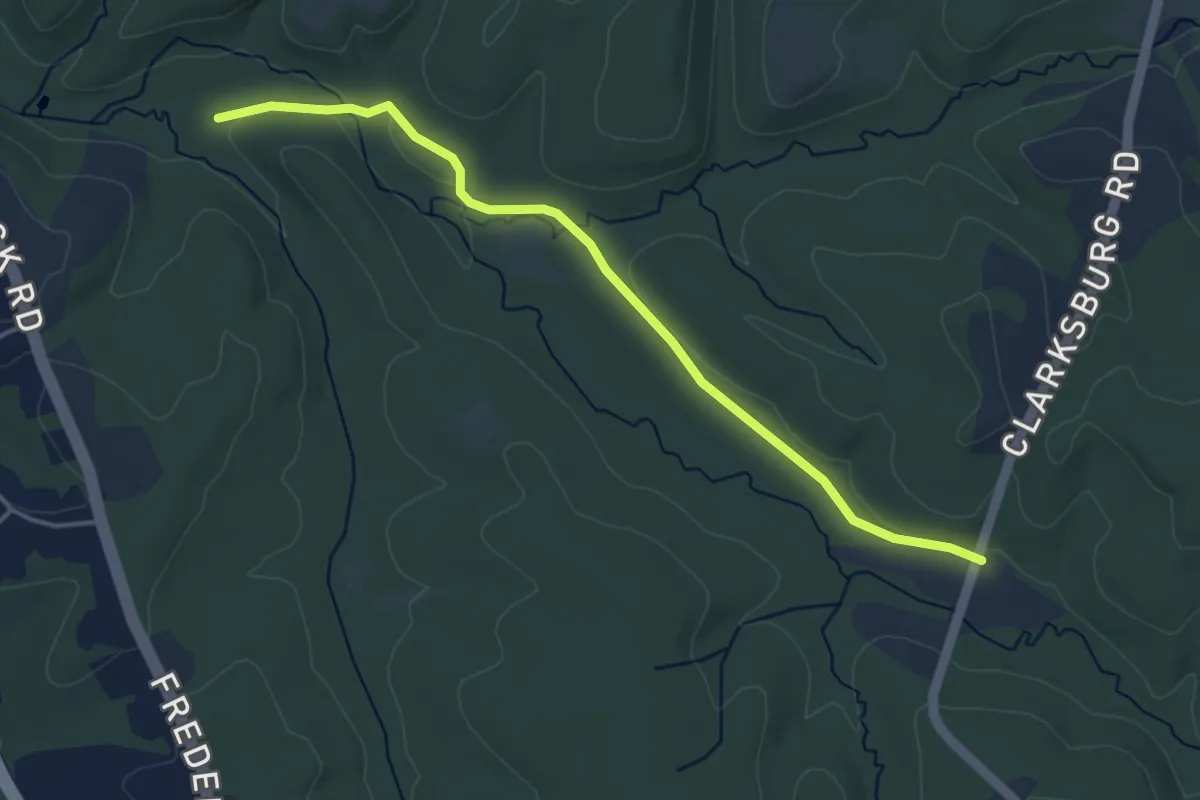
Western Piedmont Trail
4.7 km · ↑ 24 m · 1 h 10 min · 7 km away
Easy · Trail
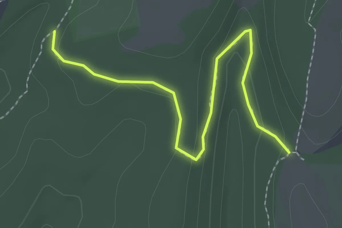
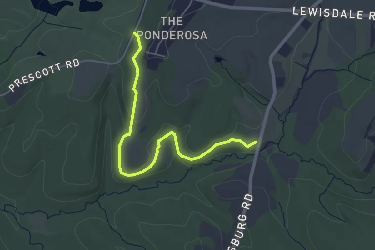
Timber Ridge Trail
2.6 km · ↑ 40 m · 41 min · 7 km away
Easy · Trail
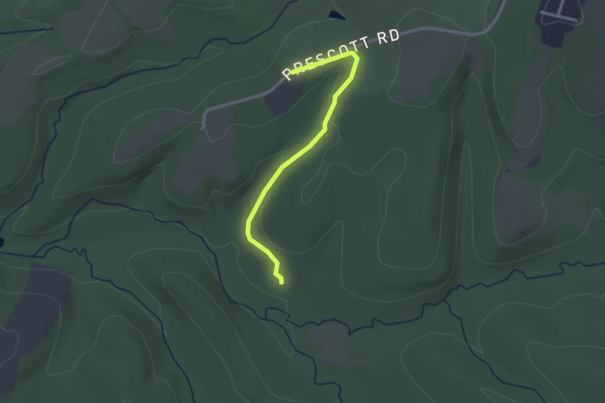
Tobacco Barn Trail
4.7 km · ↑ 75 m · 1 h 16 min · 7 km away
Easy · Trail
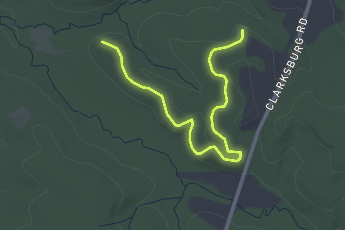
Pine Grove Trail
2.5 km · ↑ 44 m · 41 min · 7 km away
Easy · Trail
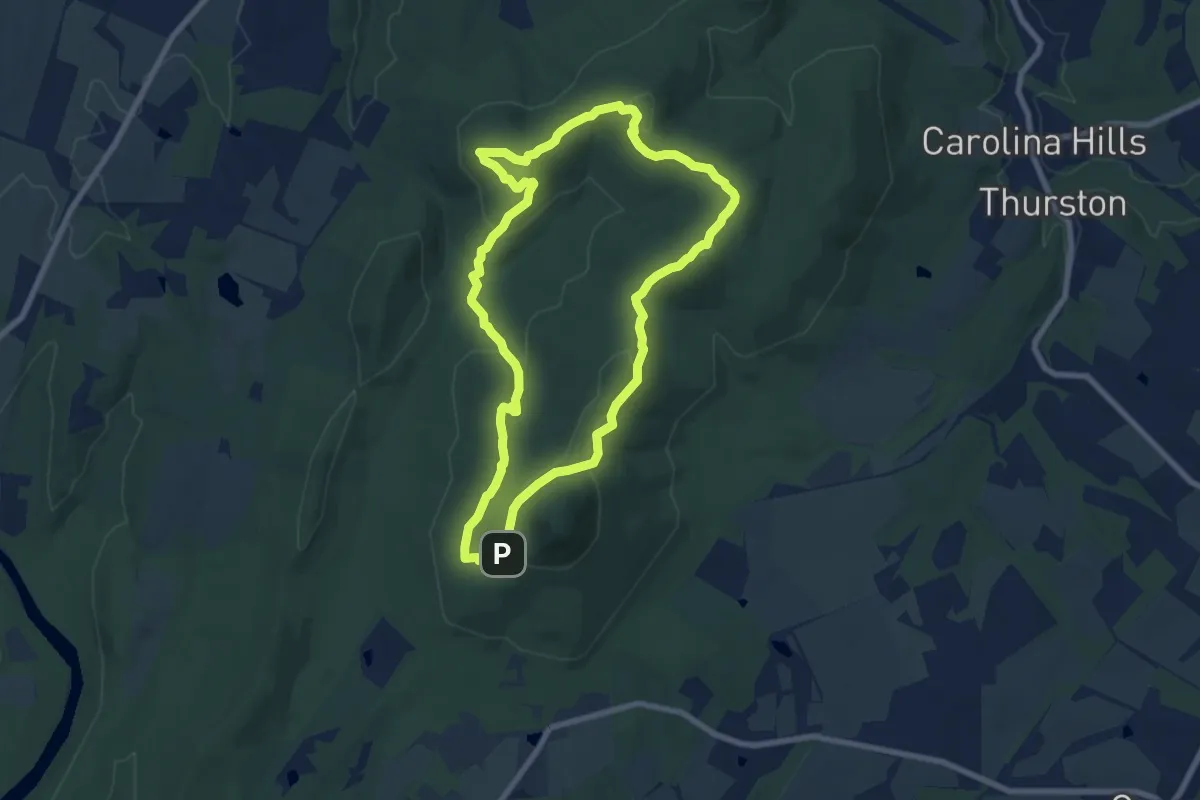
Windy Ridge Trail
4.6 km · ↑ 36 m · 1 h 9 min · 8 km away
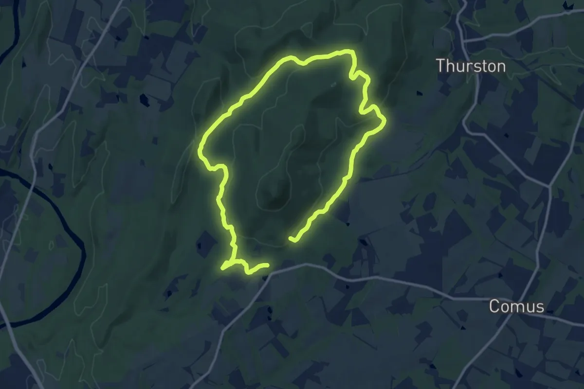
Medium · Trail
Northern Peaks Trail
8.4 km · ↑ 334 m · 2 h 49 min · 8 km away
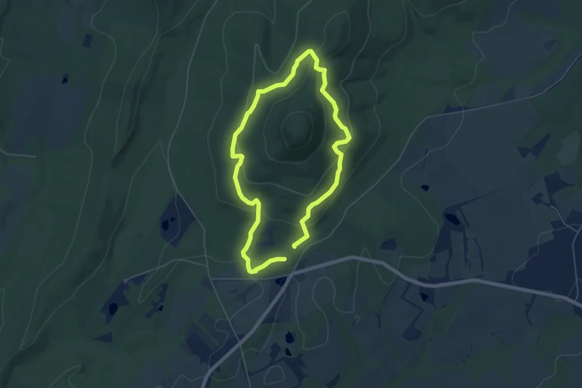
Demanding · Trail
Saddleback Horse Trail
21.3 km · ↑ 461 m · 6 h 2 min · 8 km away
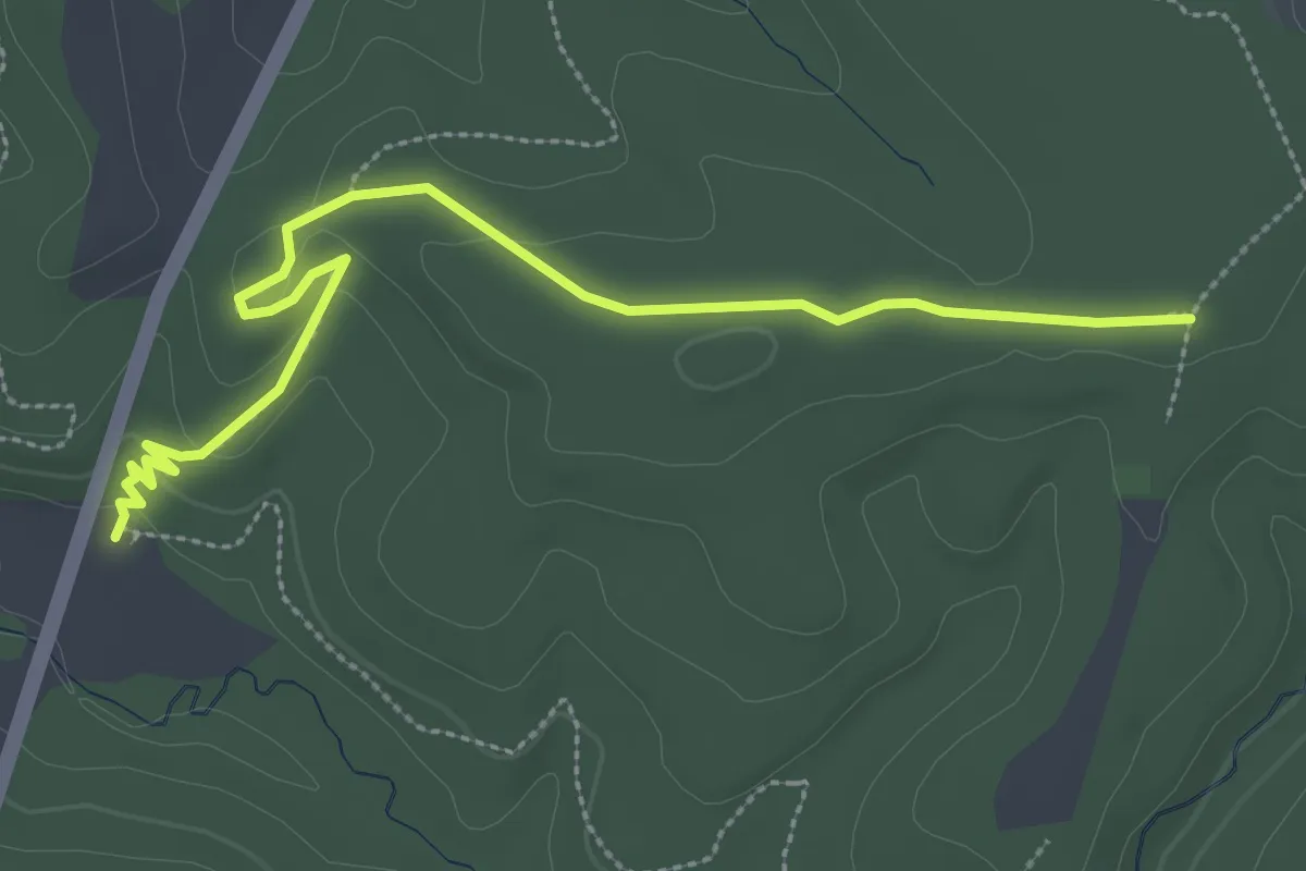
Easy · Trail
Mountain Loop Trail
5.1 km · ↑ 192 m · 1 h 42 min · 9 km away
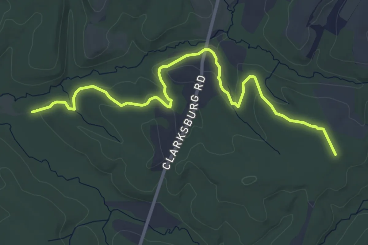
Easy · Trail
Loggers Trail
3.9 km · ↑ 75 m · 1 h 5 min · 10 km away
Easy · Trail
Browning Run Trail
7.6 km · ↑ 132 m · 2 h 5 min · 10 km away
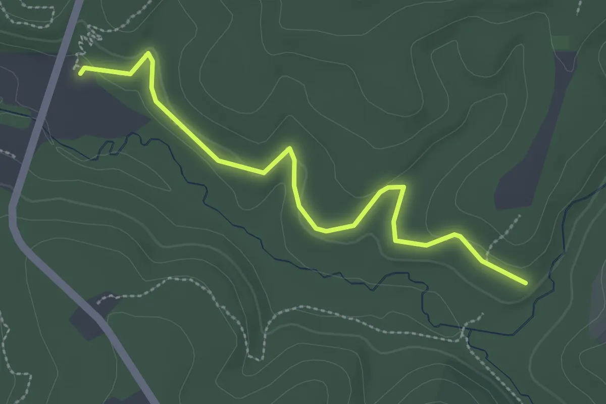
Easy · Trail
Hard Cider Trail
3.3 km · ↑ 29 m · 50 min · 10 km away
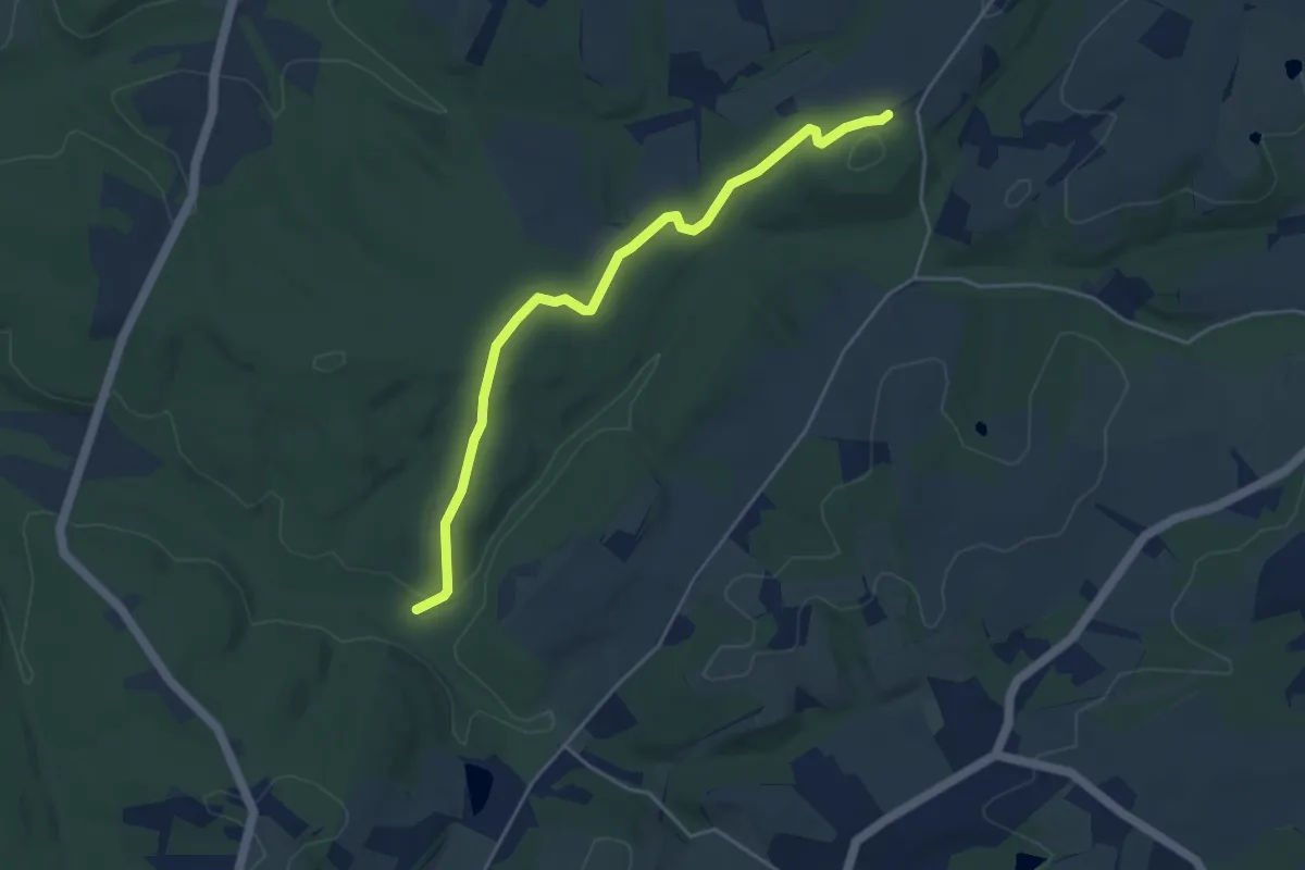
Easy · Trail
Pardum Trail
5.1 km · ↑ 91 m · 1 h 25 min · 10 km away
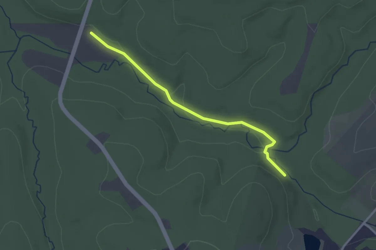
Easy · Trail
Kinglsey Trail
2.8 km · ↑ 8 m · 41 min · 10 km away
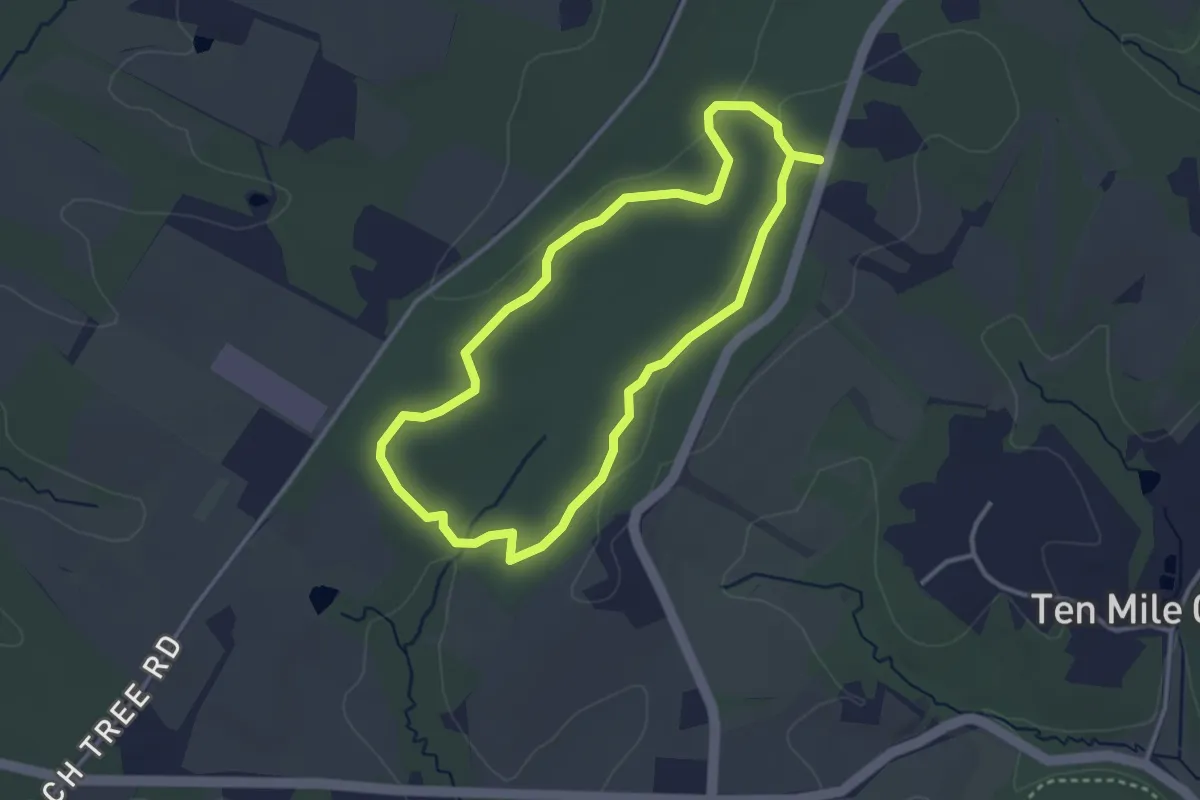
Easy · Trail
Bucklodge Loop
3.4 km · ↑ 28 m · 55 min · 11 km away
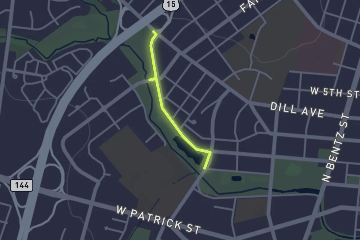
Easy · Trail
Sidewalk - W 2nd Street
2.2 km · ↑ 4 m · 31 min · 13 km away
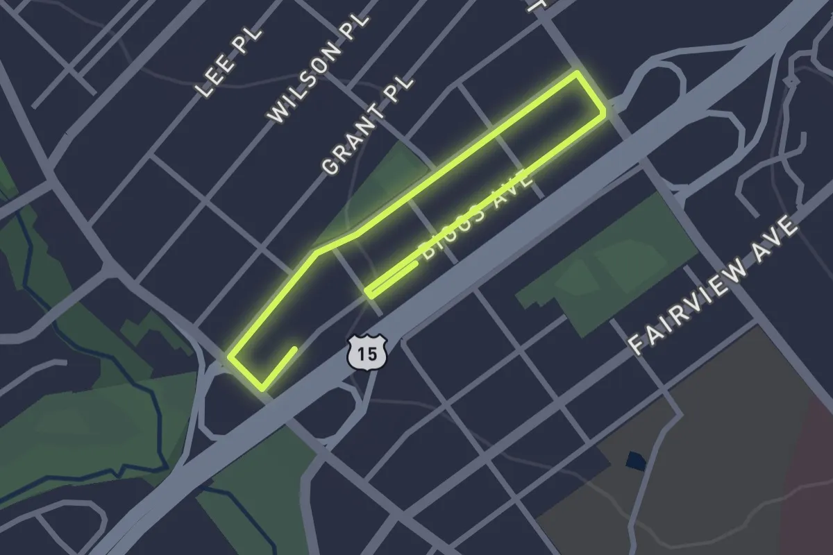
Easy · Trail
Sidewalk - Biggs Avenue
3.5 km · ↑ 12 m · 51 min · 13 km away
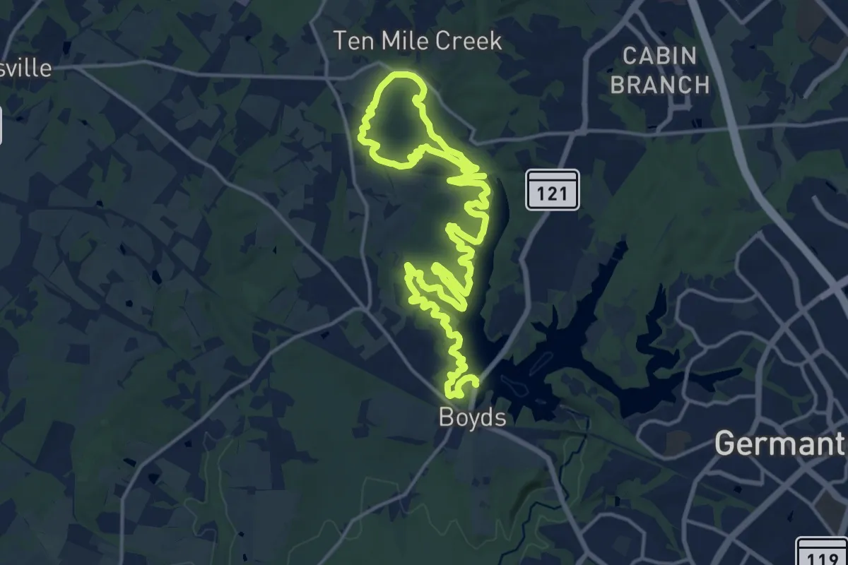
Demanding · Trail
Ten Mile Creek Trail
27.8 km · ↑ 311 m · 7 h 14 min · 13 km away
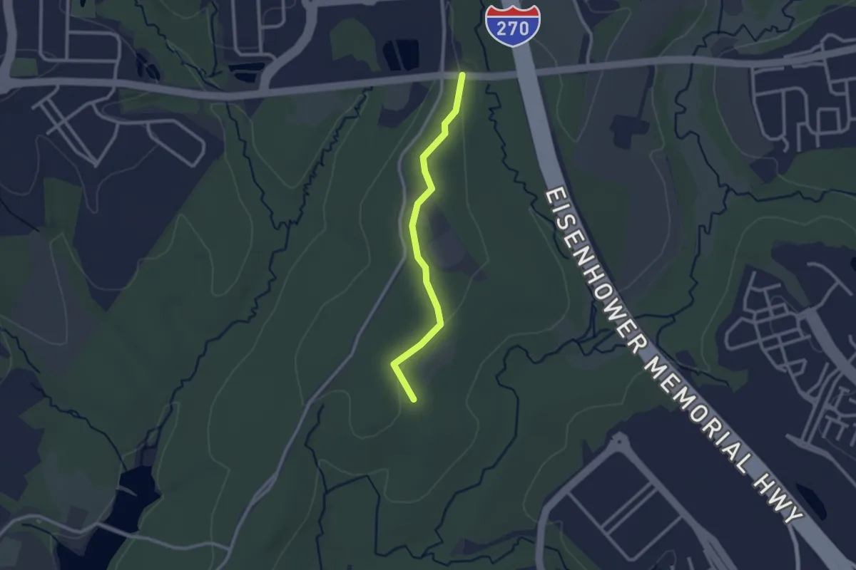
Easy · Trail
Field Crest Spur
2.5 km · ↑ 17 m · 38 min · 14 km away
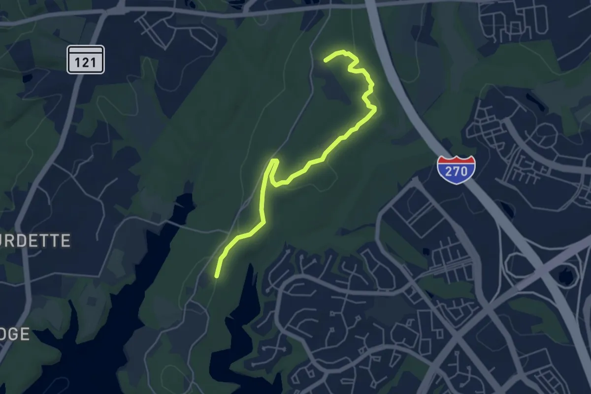
Easy · Trail
Hard Rock Trail
5.7 km · ↑ 95 m · 1 h 34 min · 14 km away
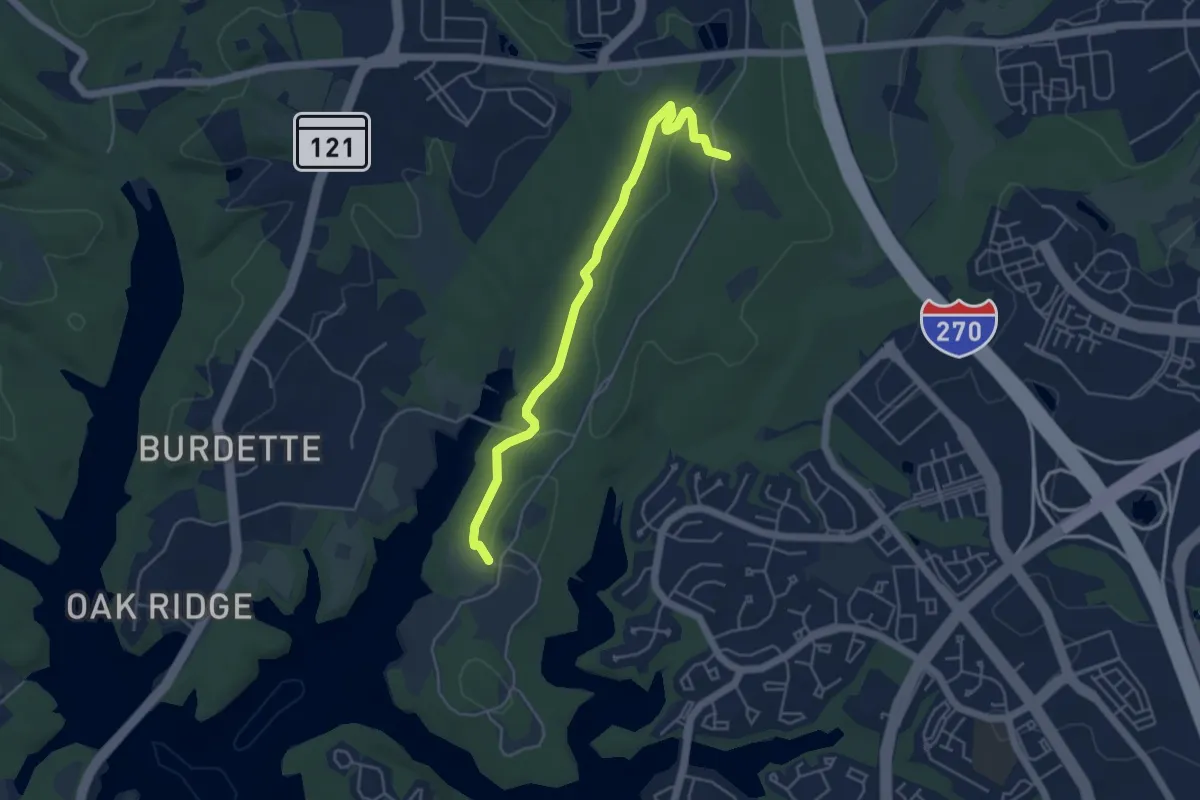
Easy · Trail
Hamilton Trail
5.4 km · ↑ 70 m · 1 h 26 min · 14 km away
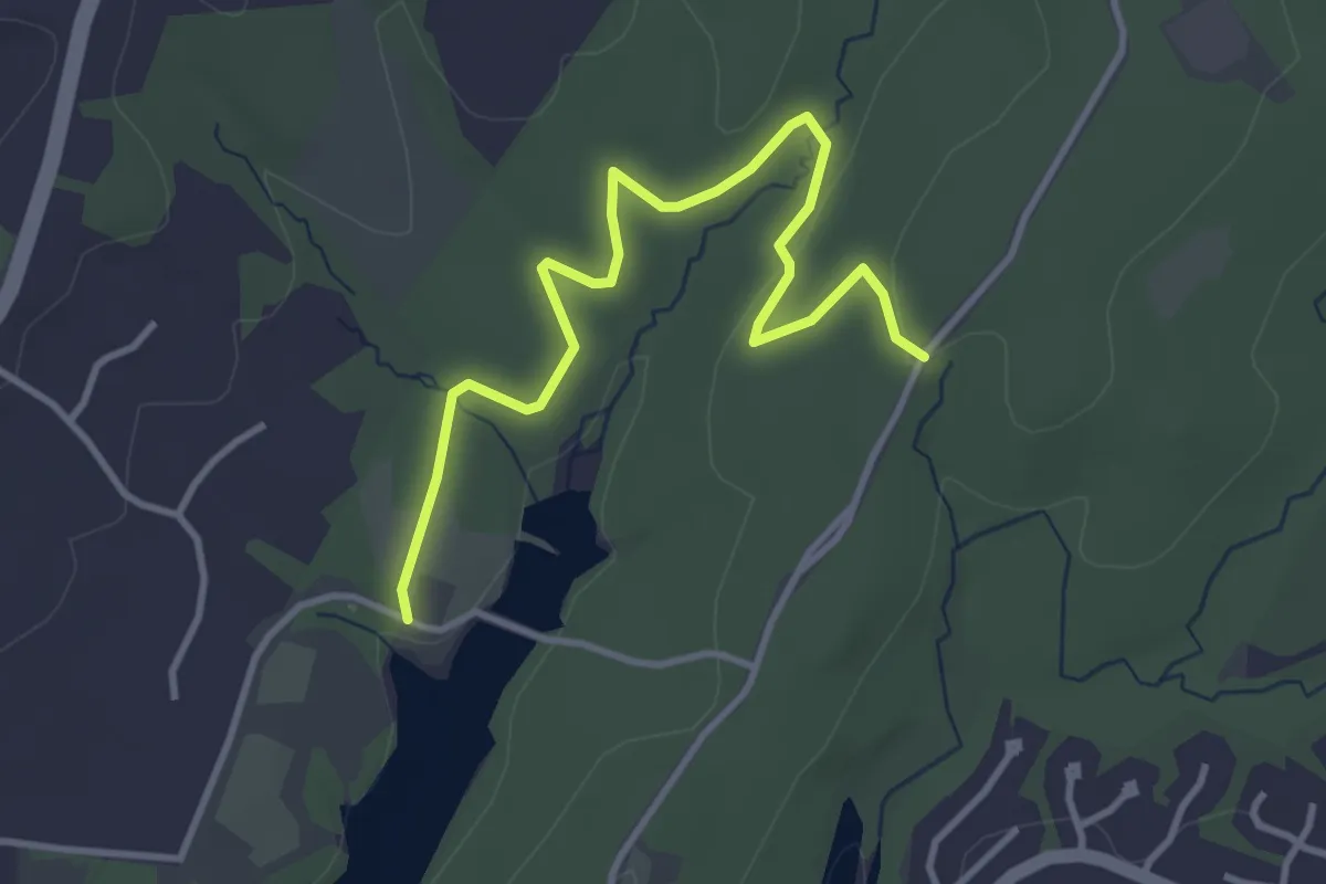
Easy · Trail
Cabin Branch Trail
4.5 km · ↑ 41 m · 1 h 8 min · 15 km away