Trails near Wakefield
22 hikes starting within 15 km, nearest first.
Nearest first
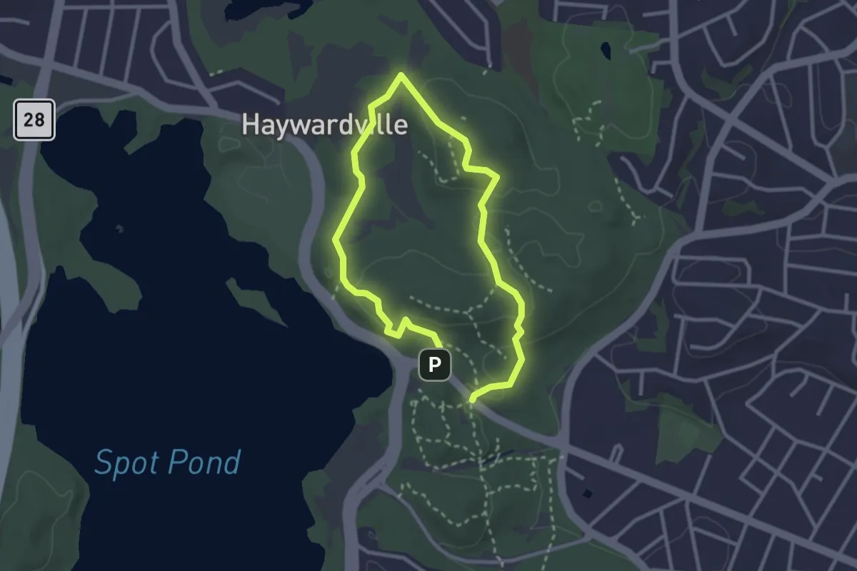
Medium · Summit
Crystal Spring Trail
2.3 km · ↑ 63 m · 43 min · 6 km away
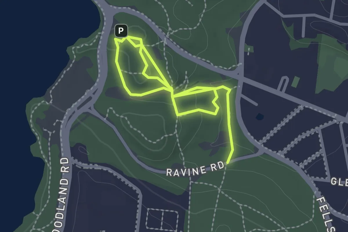
Easy · Trail
Historic Trail
3.8 km · ↑ 109 m · 1 h 8 min · 6 km away
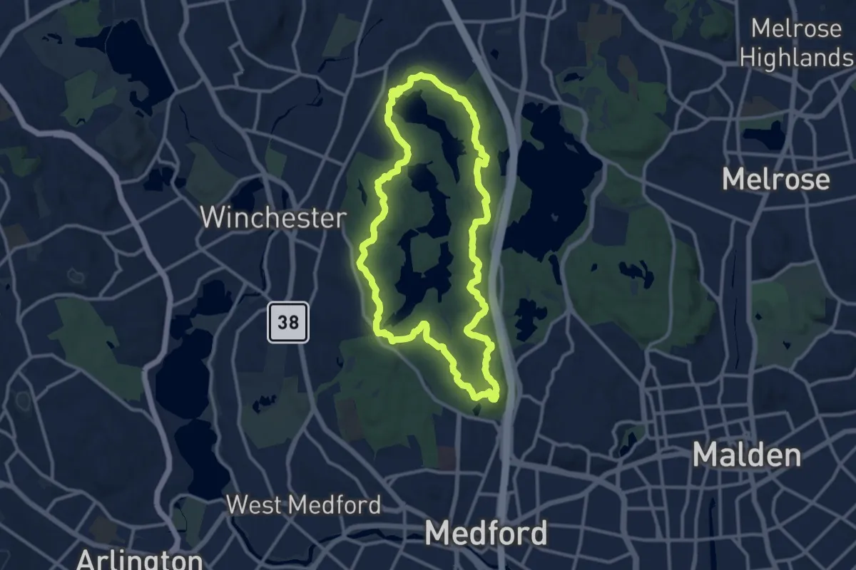
Medium · Summit
Skyline Trail
11.5 km · ↑ 297 m · 3 h 32 min · 6 km away
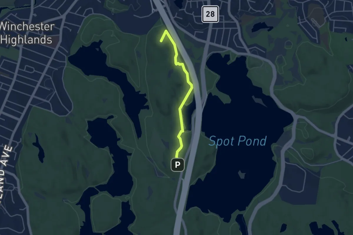
Easy · Summit
Dark Hollow Pond Trail
3.8 km · ↑ 93 m · 1 h 5 min · 6 km away
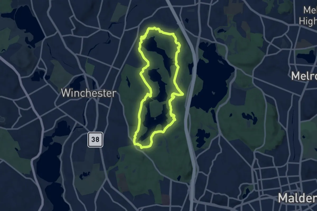
Medium · Summit
Reservoir Trail
9.4 km · ↑ 141 m · 2 h 40 min · 7 km away
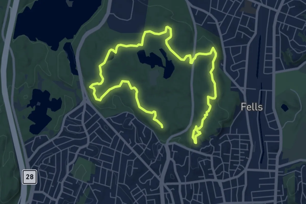
Medium · Summit
Rock Circuit Trail
11.0 km · ↑ 216 m · 3 h 3 min · 7 km away
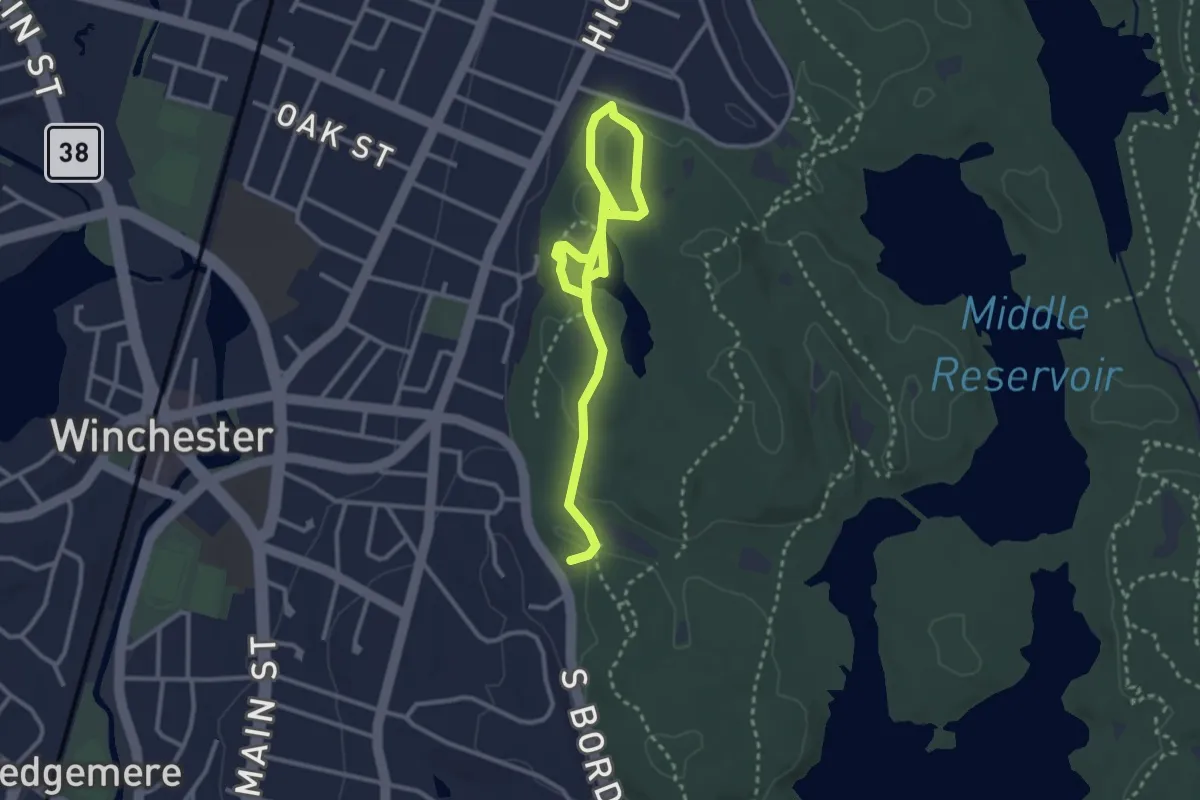
Easy · Trail
Long Pond Nature Trail
4.3 km · ↑ 57 m · 1 h 9 min · 8 km away
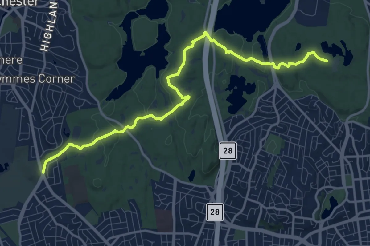
Medium · Summit
Cross Fells Trail
11.7 km · ↑ 248 m · 3 h 17 min · 10 km away
Easy · Trail
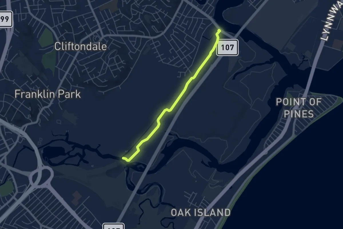
Rumney Marsh Restoration
5.5 km · ↑ 18 m · 1 h 20 min · 10 km away
Easy · Trail
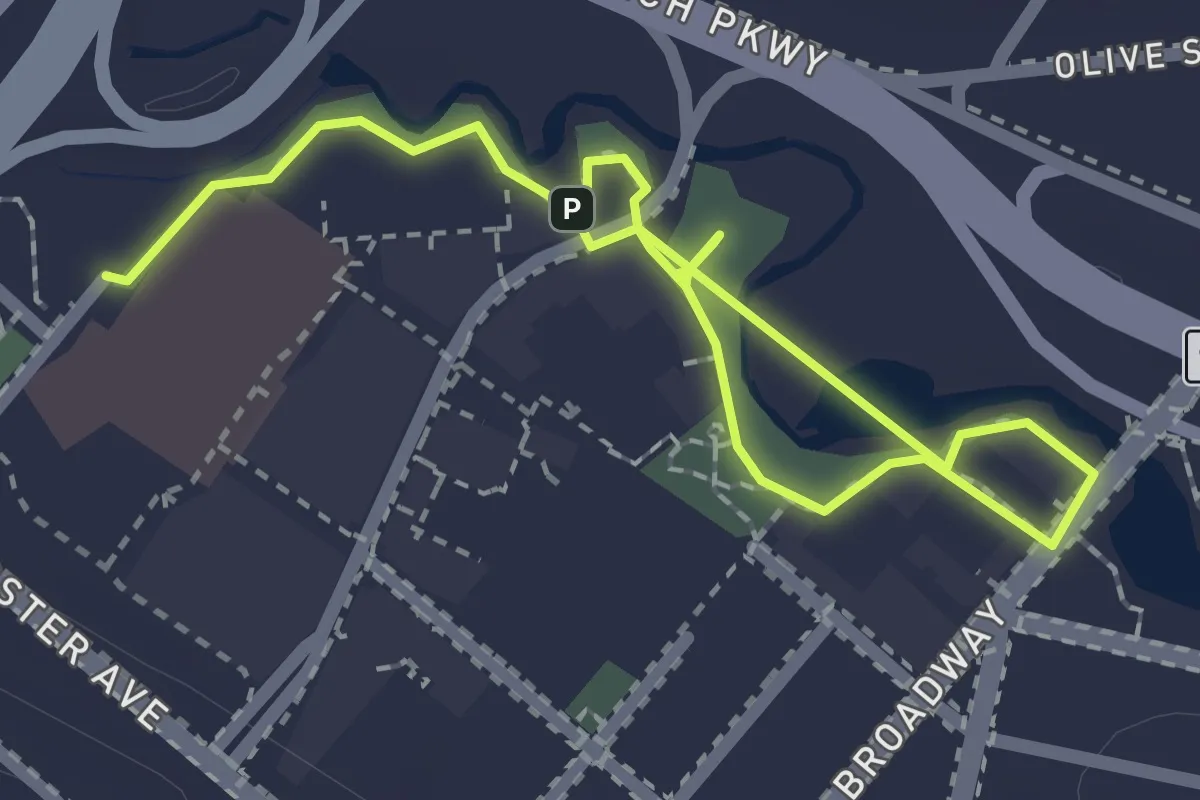
Mill Creek Riverwalk
3.0 km · ↑ 0 m · 42 min · 12 km away
Easy · Summit
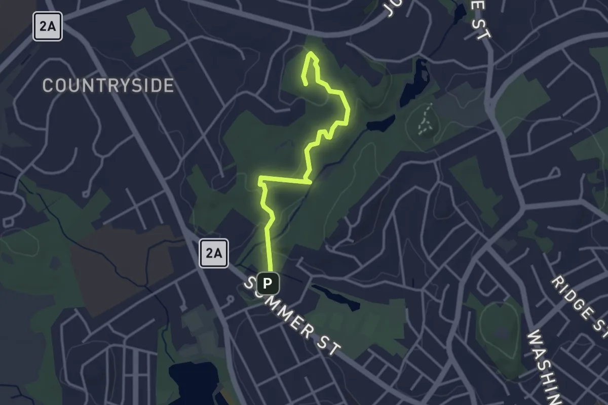
Whipple Hill Locke Farm Loop
3.3 km · ↑ 103 m · 1 h 1 min · 12 km away
Easy · Trail
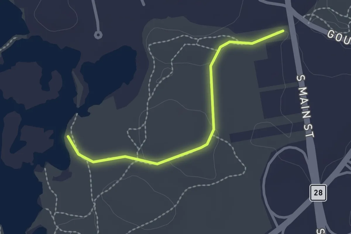
Accessible trail
2.2 km · ↑ 15 m · 33 min · 12 km away
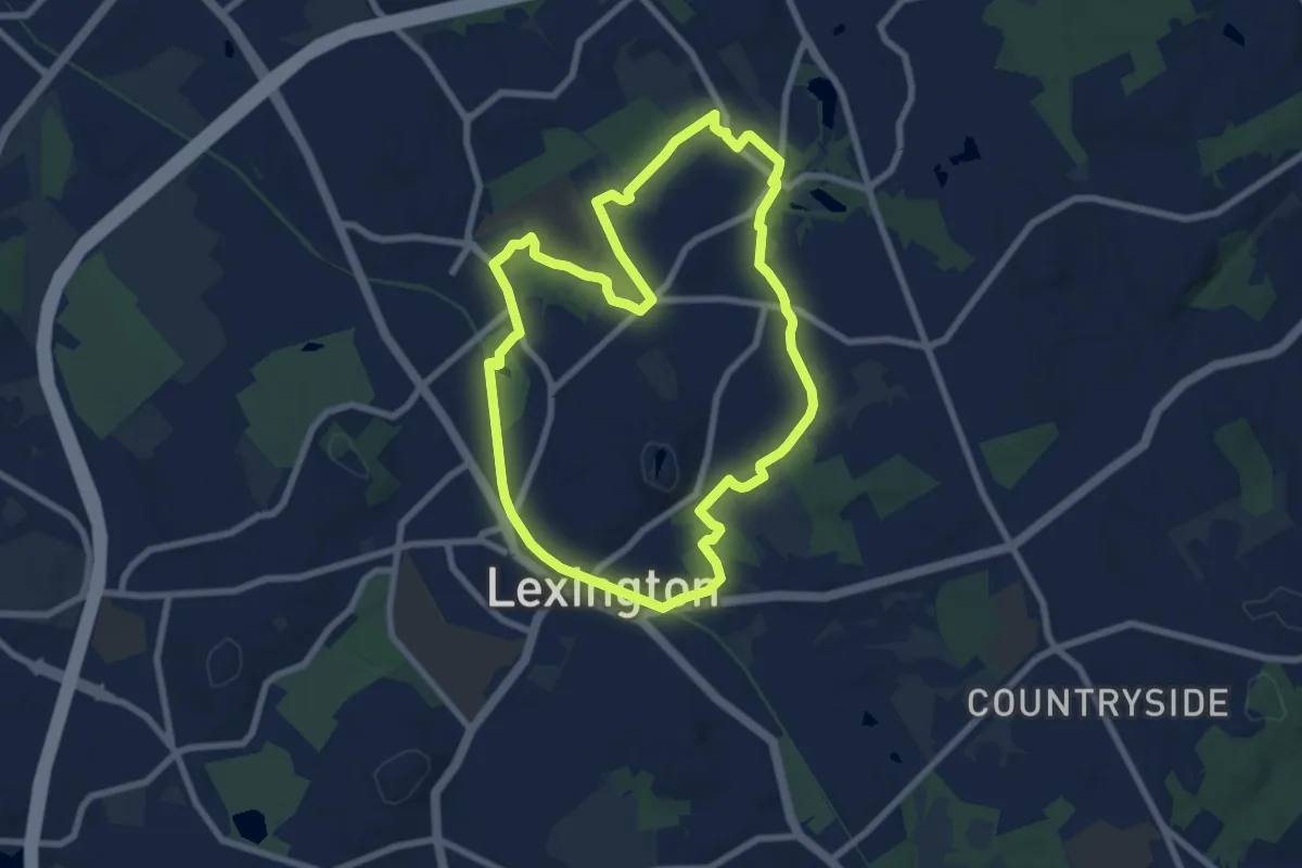
Medium · Summit
ACROSS Lexington Route A
8.4 km · ↑ 20 m · 2 h 9 min · 13 km away
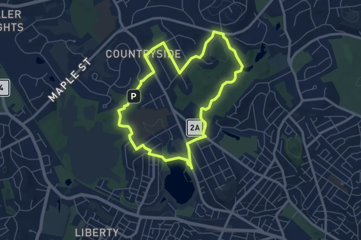
Easy · Summit
ALD ACROSS Lexington Route D
5.7 km · ↑ 51 m · 1 h 32 min · 13 km away
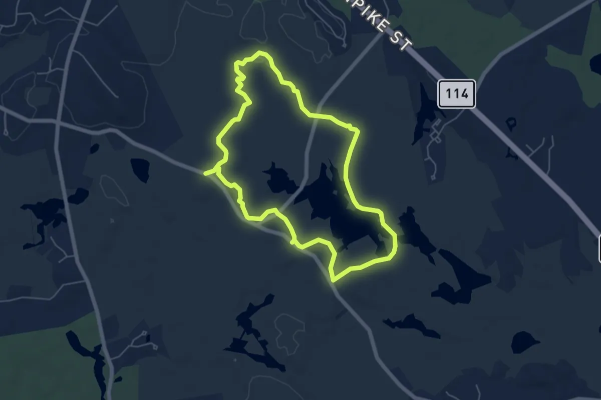
Easy · Trail
Stearns Pond Blue Loop
5.5 km · ↑ 26 m · 1 h 26 min · 13 km away
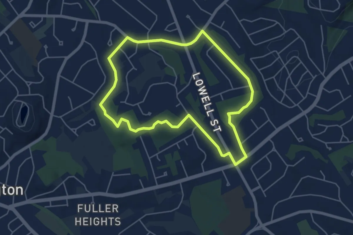
Easy · Trail
ACROSS Lexington Route G
4.5 km · ↑ 23 m · 1 h 11 min · 13 km away
Easy · Trail
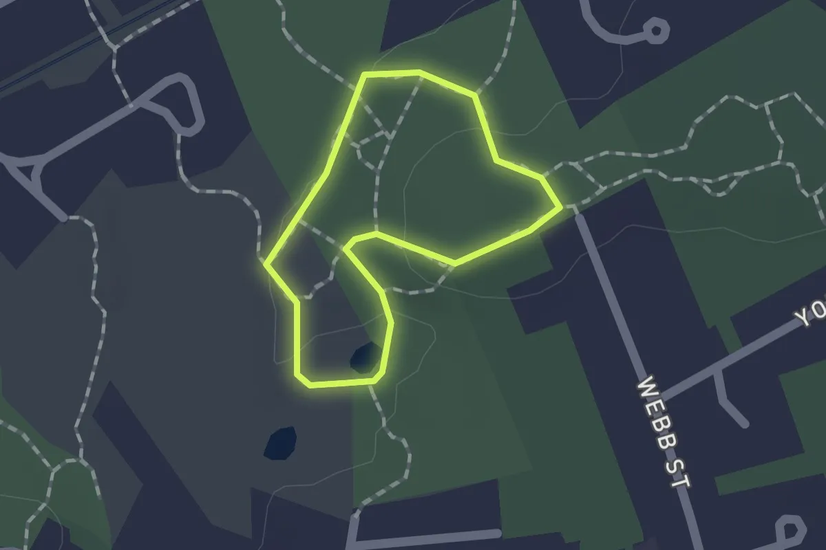
Lower Vine Brook Loop
1.1 km · ↑ 15 m · 18 min · 13 km away
Easy · Summit
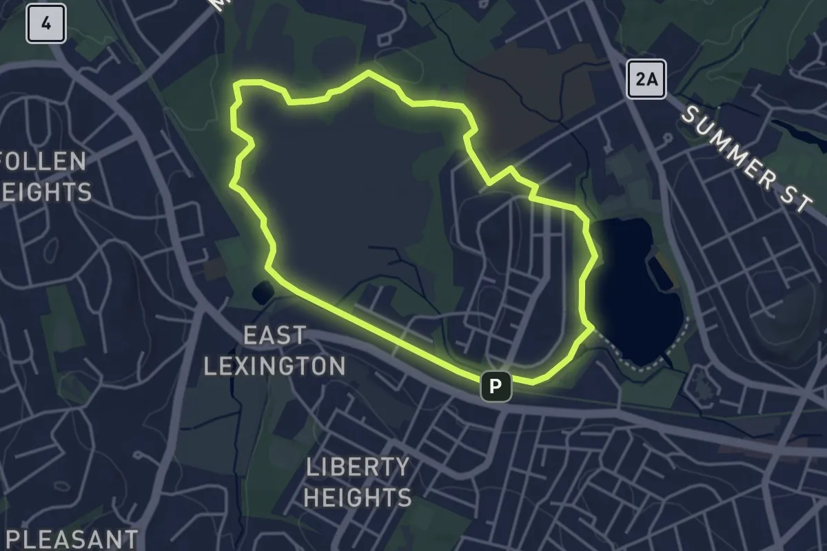
ALC ACROSS Lexington Route C
4.0 km · ↑ 8 m · 1 h 1 min · 13 km away
Easy · Summit
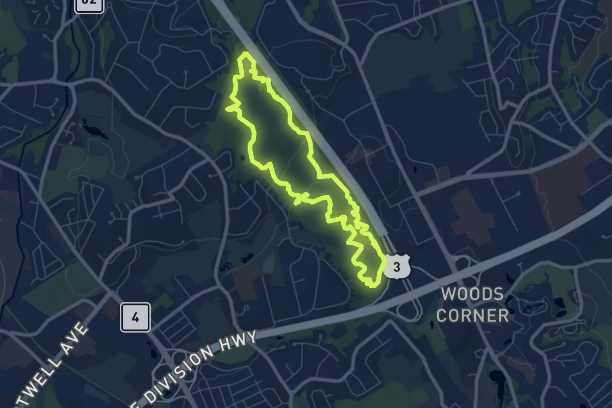
Burlington Landlocked Forest Yellow Loop
6.9 km · ↑ 111 m · 1 h 57 min · 14 km away
Easy · Summit
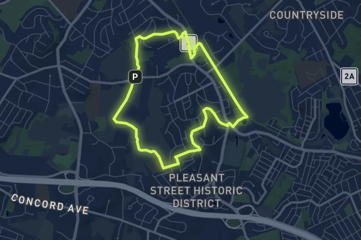
ACROSS Lexington Route L
7.0 km · ↑ 76 m · 1 h 55 min · 15 km away
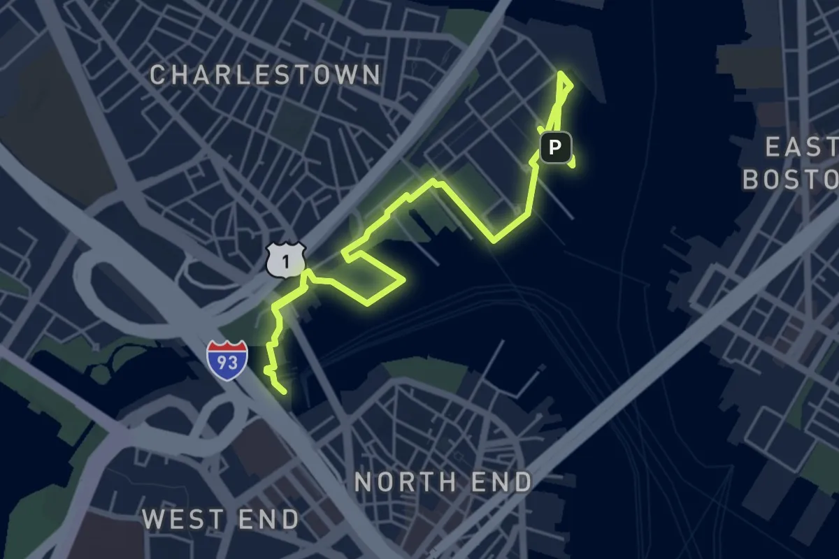
Easy · Trail
Harborwalk Charlestown
6.9 km · ↑ 9 m · 1 h 39 min · 15 km away
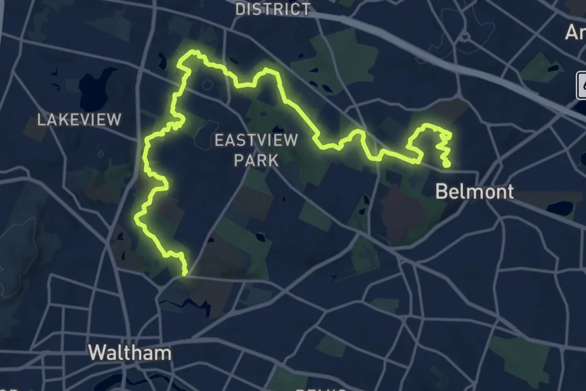
Demanding · Trail
Western Greenway
23.6 km · ↑ 323 m · 6 h 16 min · 15 km away