Trails near West Covina
18 hikes starting within 15 km, nearest first.
Nearest first
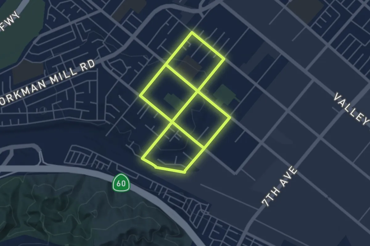
Medium · Trail
Avocado Heights Trail
10.8 km · ↑ 119 m · 2 h 49 min · 6 km away
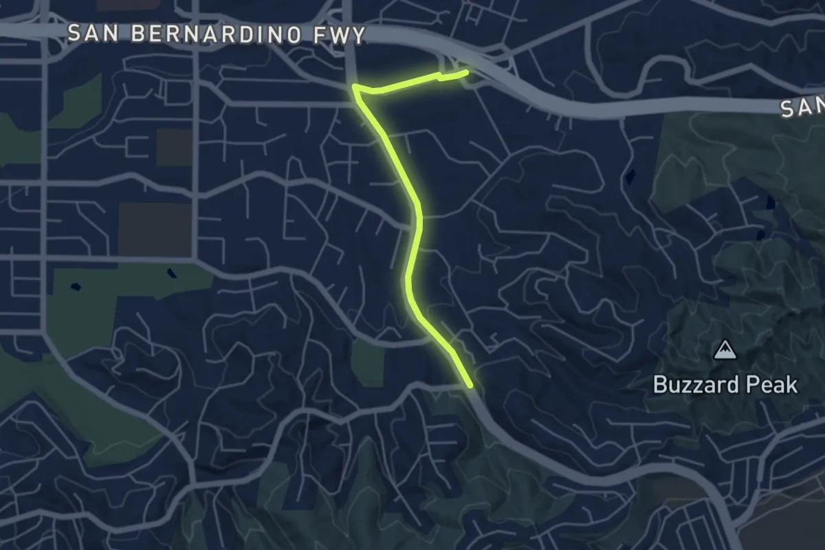
Easy · Trail
Schabarum Grand Spur Trail
4.9 km · ↑ 74 m · 1 h 19 min · 7 km away
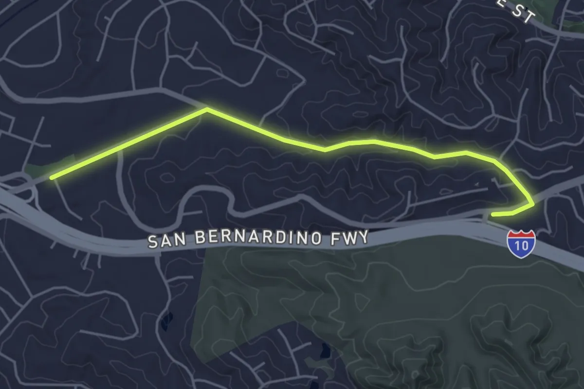
Easy · Trail
Schabarum San Dimas Connector Trail
5.4 km · ↑ 110 m · 1 h 31 min · 7 km away
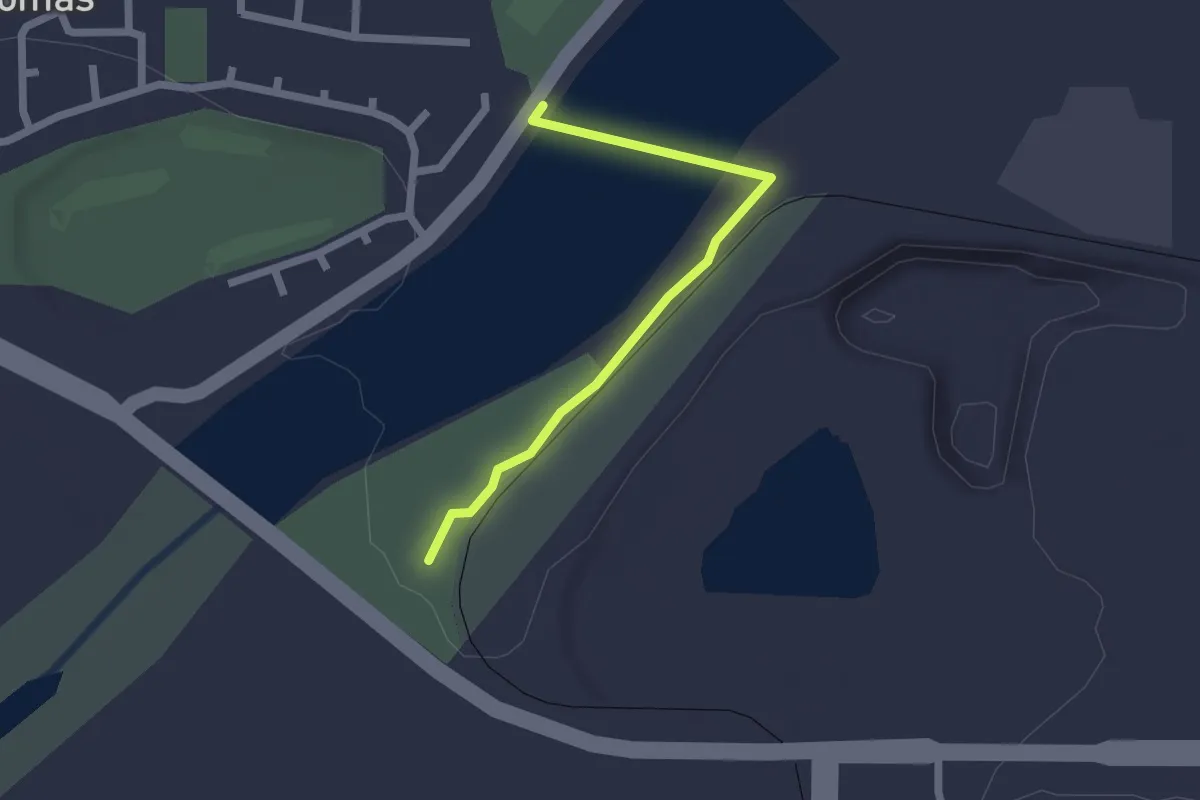
Easy · Trail
San Gabriel River Trail - Lario Connector
2.3 km · ↑ 8 m · 34 min · 8 km away
Medium · Trail
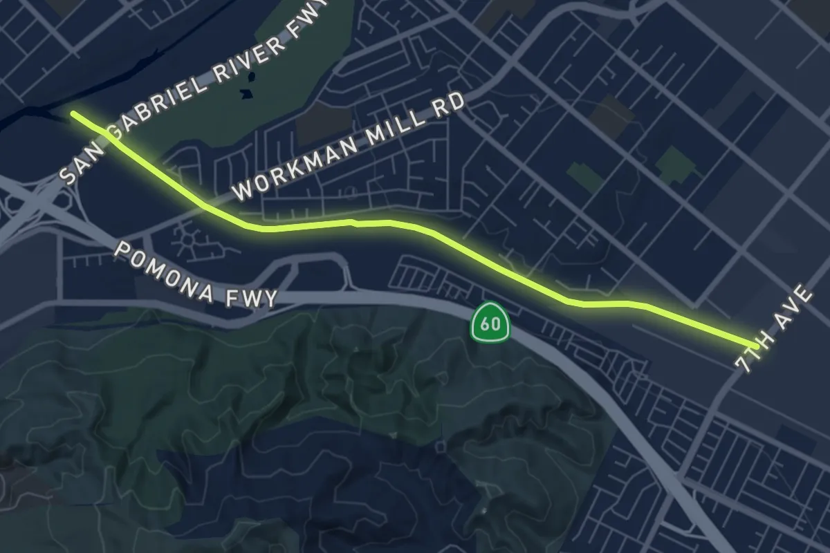
San Jose Creek Trail
8.4 km · ↑ 22 m · 2 h 2 min · 9 km away
Medium · Trail
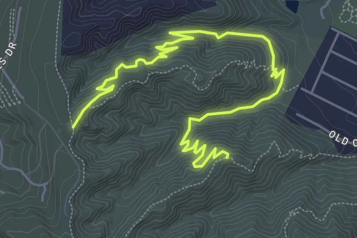
Native Oak Trail
6.5 km · ↑ 329 m · 2 h 15 min · 9 km away
Medium · Trail
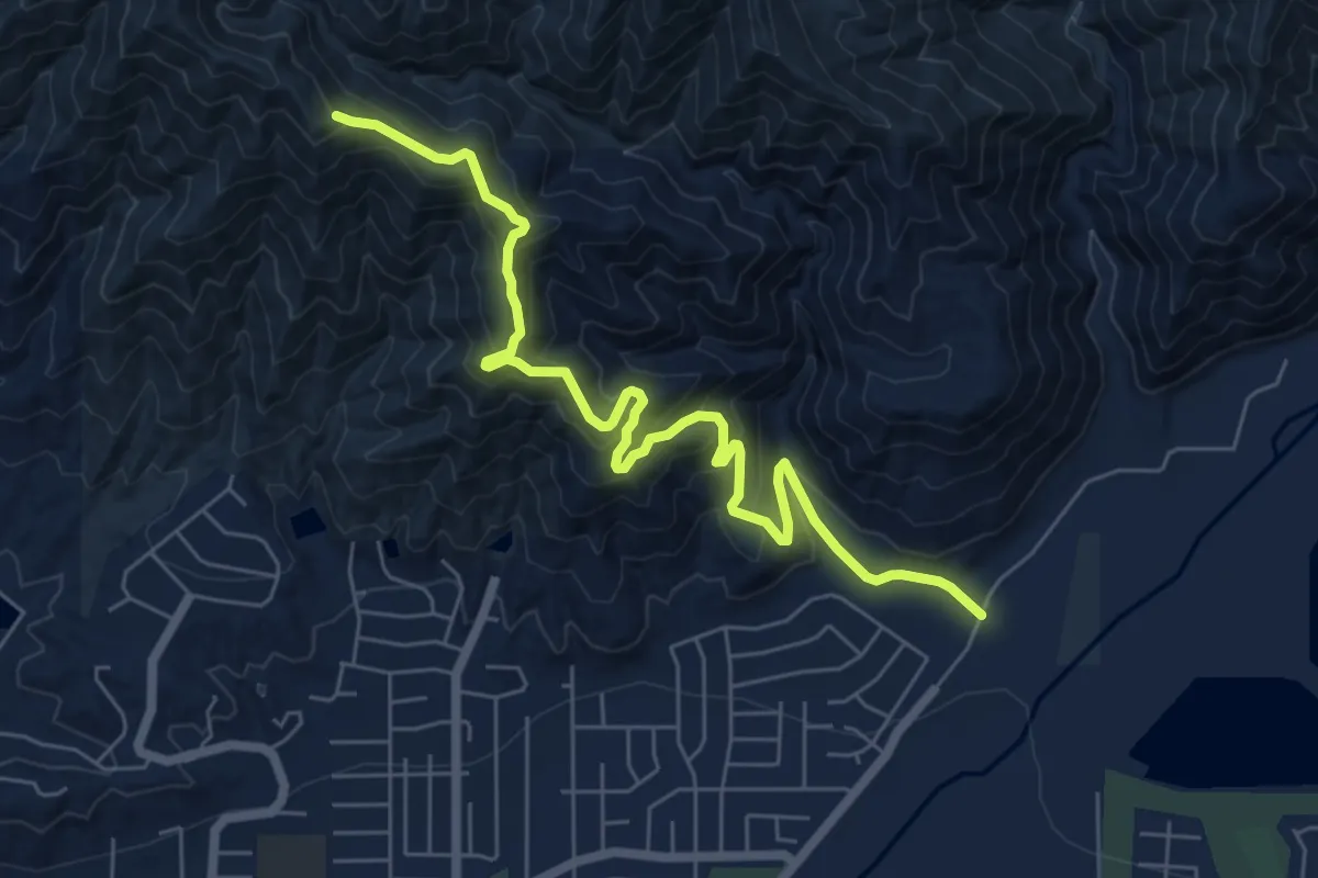
Van Tassel Trail
8.7 km · ↑ 546 m · 3 h 14 min · 9 km away
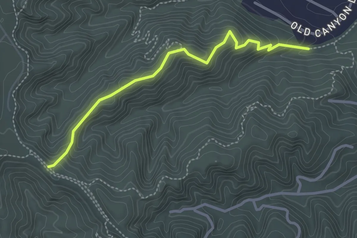
Easy · Trail
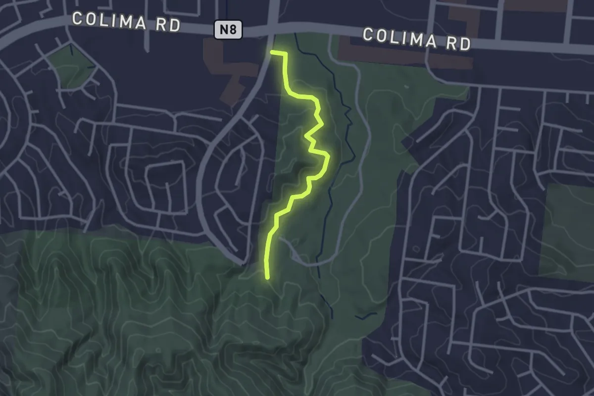
Schabarum-Skyline Trail - Azusa/Colima Connector
2.8 km · ↑ 92 m · 52 min · 10 km away
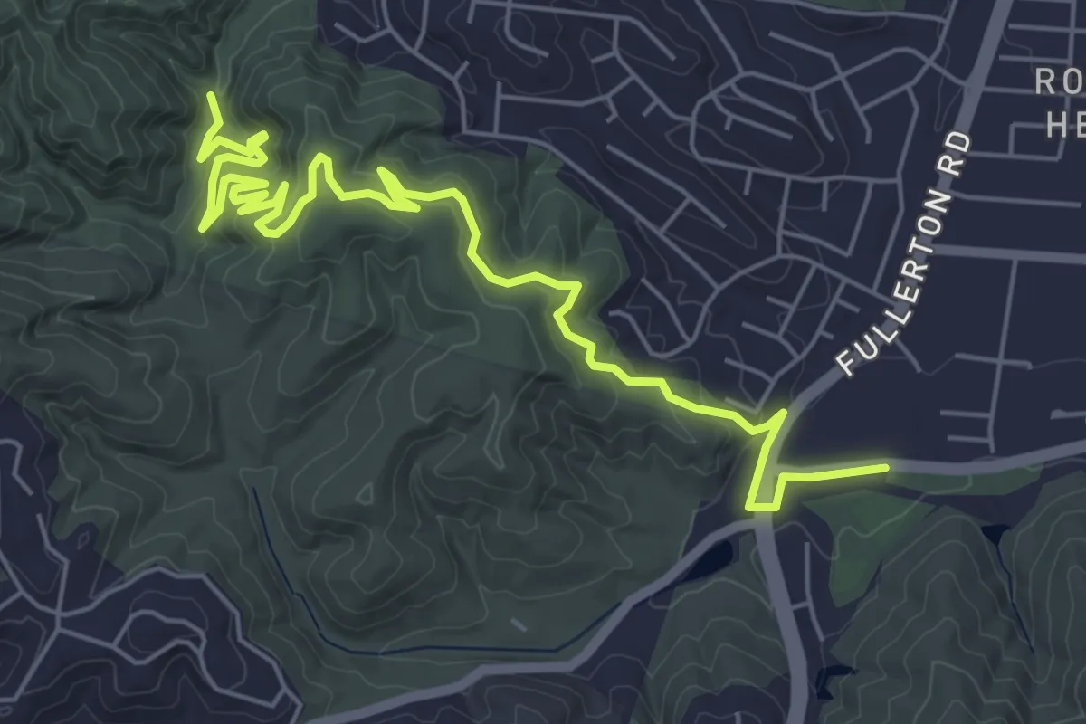
Easy · Trail
Ahwingna Trail
3.1 km · ↑ 173 m · 1 h 6 min · 10 km away
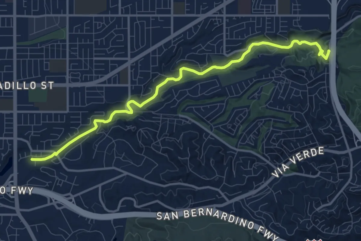
Medium · Trail
Schabarum Extension Trail
8.9 km · ↑ 308 m · 2 h 47 min · 10 km away
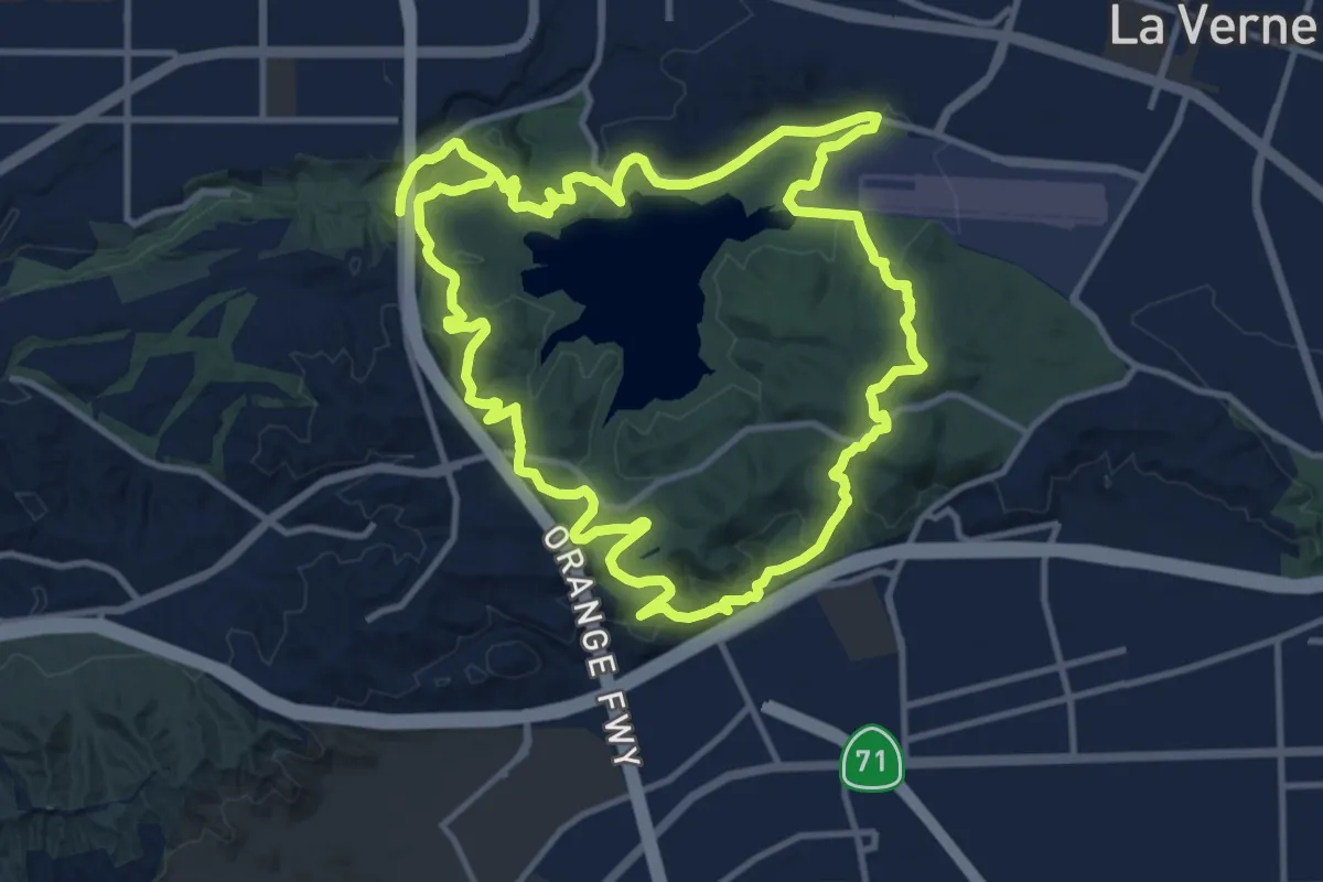
Medium · Trail
Antonovich Trail
12.3 km · ↑ 152 m · 3 h 14 min · 11 km away
Medium · Trail
Bonelli Trail
15.0 km · ↑ 472 m · 4 h 46 min · 11 km away
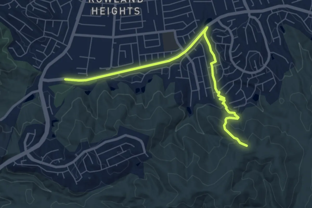
Medium · Trail
Rowland Heights Loop Trail
8.1 km · ↑ 246 m · 2 h 27 min · 11 km away
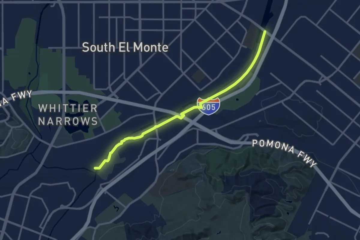
Medium · Trail
San Gabriel River Trail - Eastern Bank
12.8 km · ↑ 26 m · 3 h 5 min · 12 km away
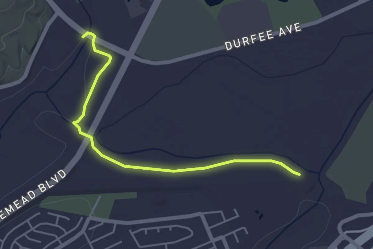
Easy · Trail
Rio Hondo San Gabriel River Trail Connector
4.7 km · ↑ 4 m · 1 h 7 min · 12 km away
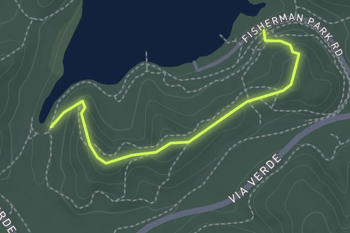
Easy · Trail
Tree Line Trail
2.4 km · ↑ 129 m · 51 min · 12 km away
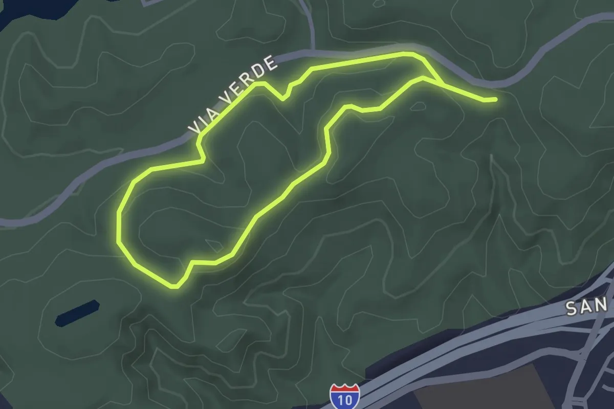
Easy · Trail
Park View Trail
5.6 km · ↑ 135 m · 1 h 37 min · 14 km away
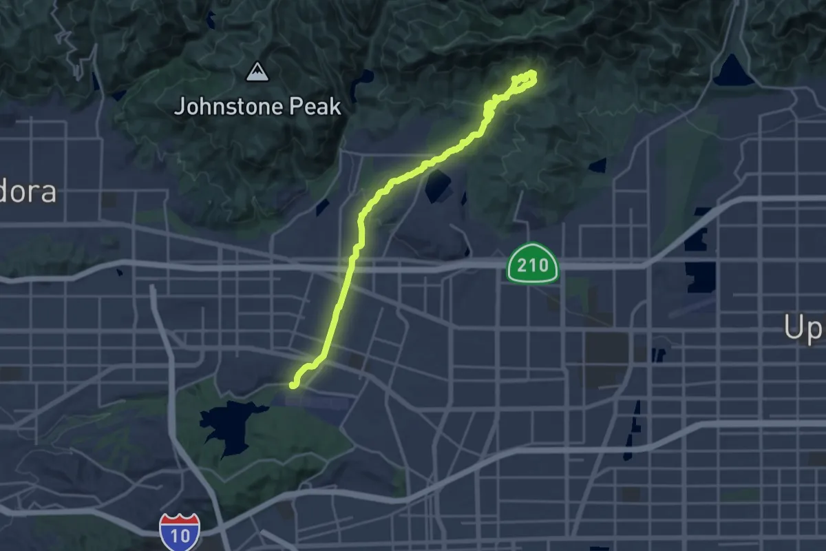
Demanding · Trail
Marshall Canyon Trail
24.7 km · ↑ 558 m · 7 h 2 min · 14 km away