Trails near Willington
47 hikes starting within 15 km, nearest first.
Nearest first
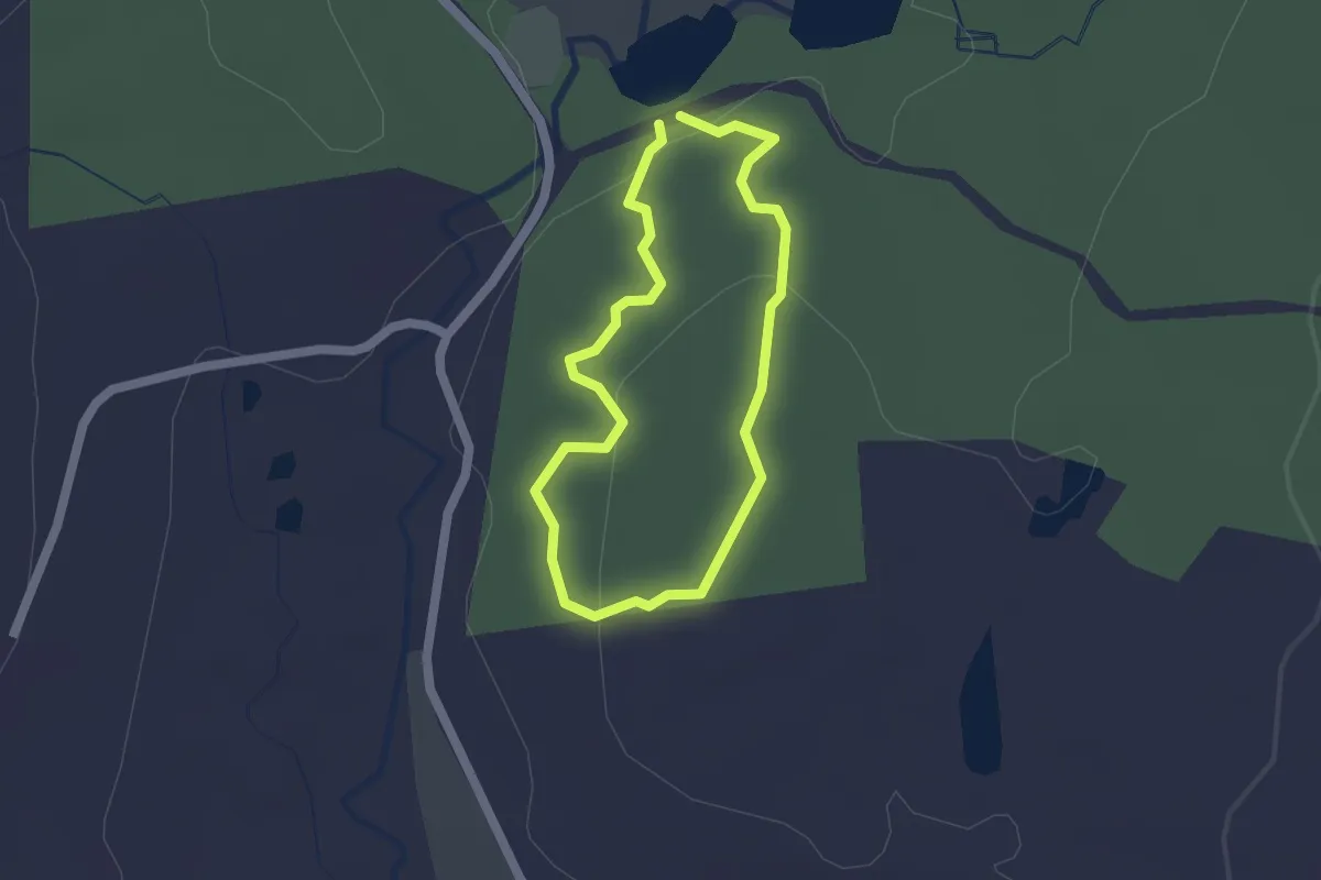
Easy · Trail
Weigold Trail
1.5 km · ↑ 47 m · 29 min · 4 km away
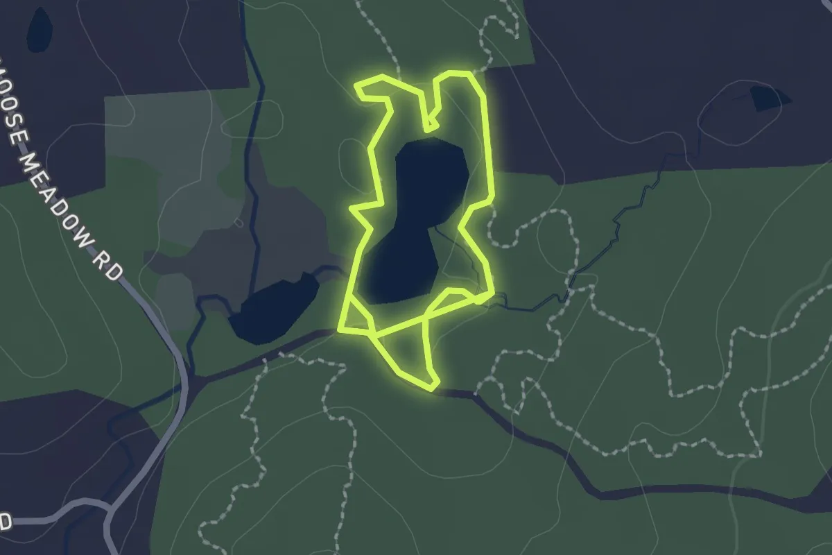
Easy · Trail
Taylor Pond Trail
3.7 km · ↑ 13 m · 54 min · 4 km away
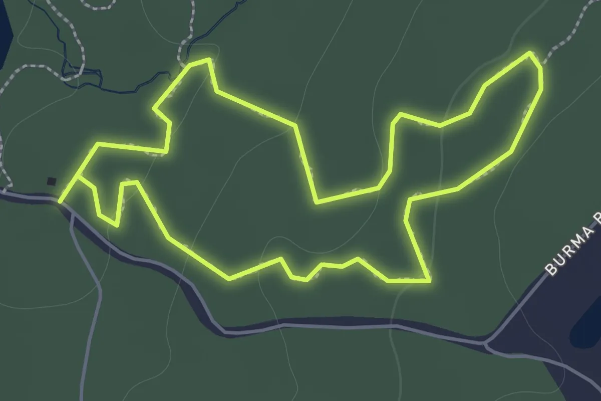
Easy · Trail
Ruby Trail
1.8 km · ↑ 35 m · 32 min · 4 km away
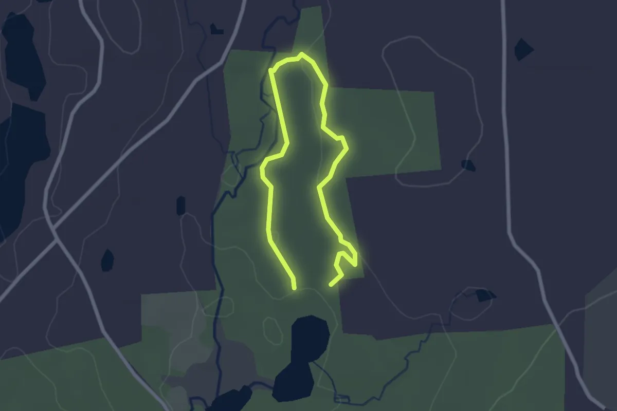
Easy · Trail
Julia's Trail
1.7 km · ↑ 26 m · 29 min · 4 km away
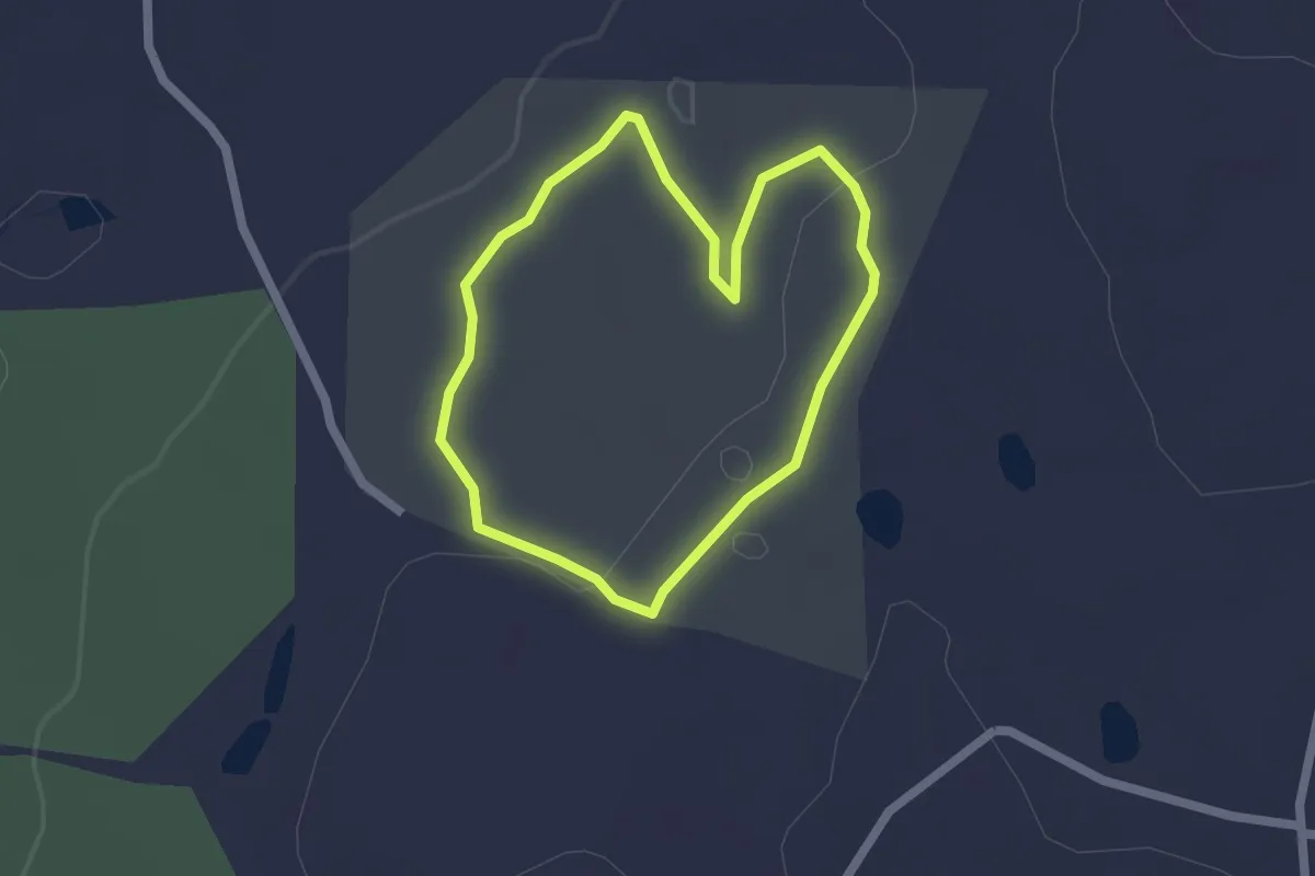
Easy · Trail
Langhammer Trail
1.8 km · ↑ 26 m · 31 min · 5 km away
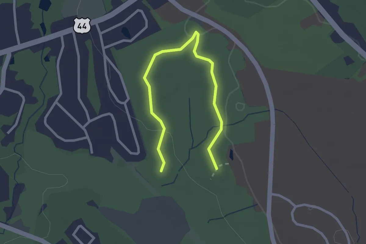
Easy · Trail
North Woods Trail
2.8 km · ↑ 43 m · 45 min · 6 km away
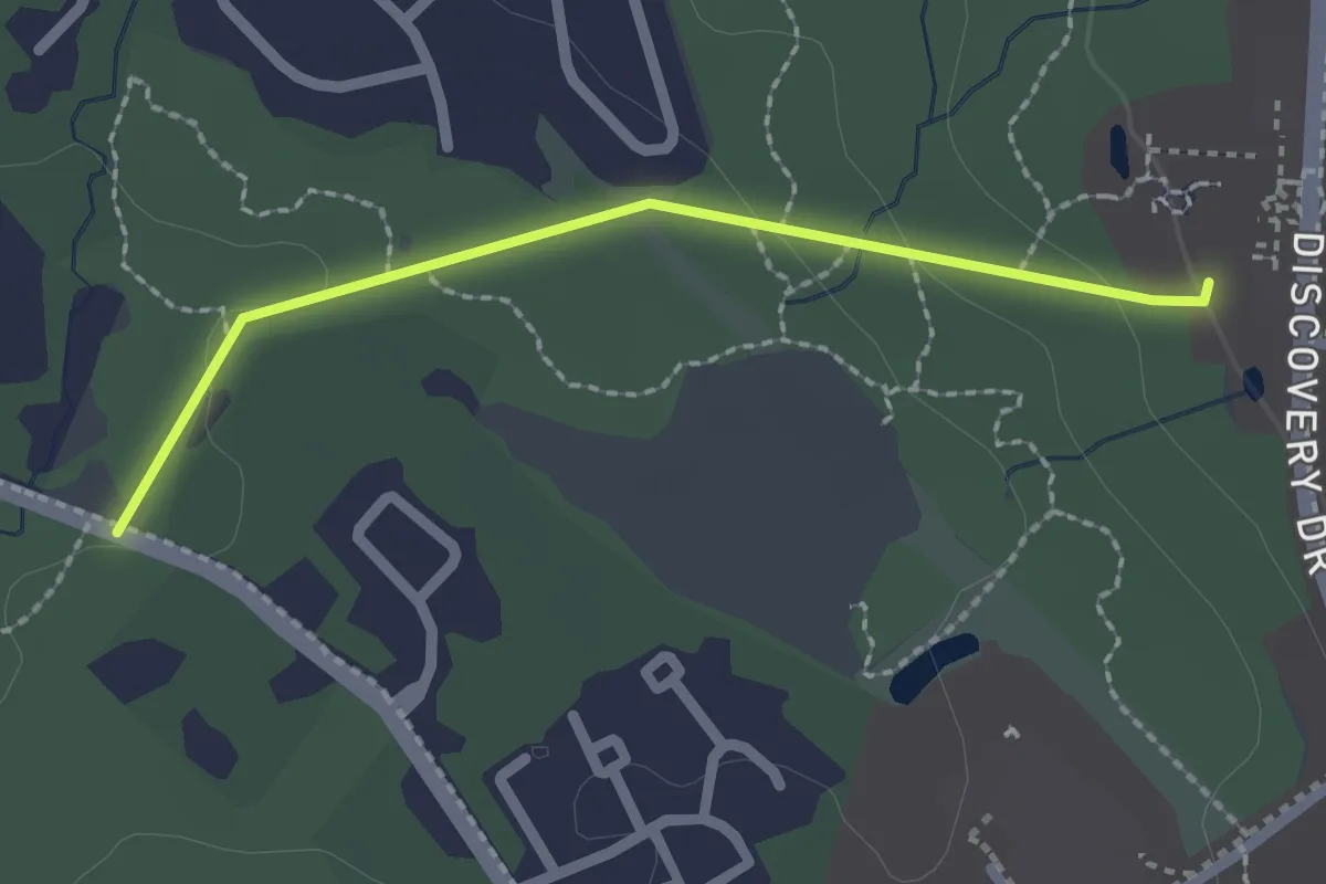
Easy · Trail
Water Line Trail
2.2 km · ↑ 36 m · 36 min · 7 km away
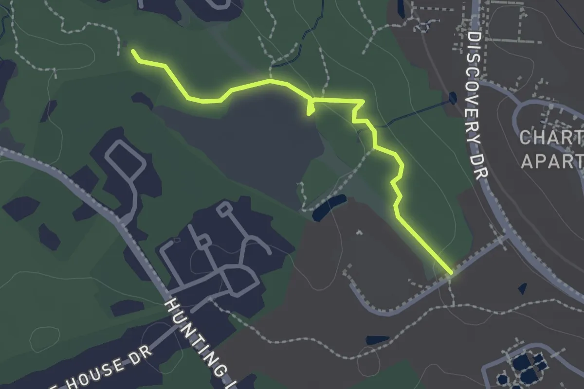
Easy · Trail
Quarry Swamp Trail
2.4 km · ↑ 14 m · 35 min · 7 km away
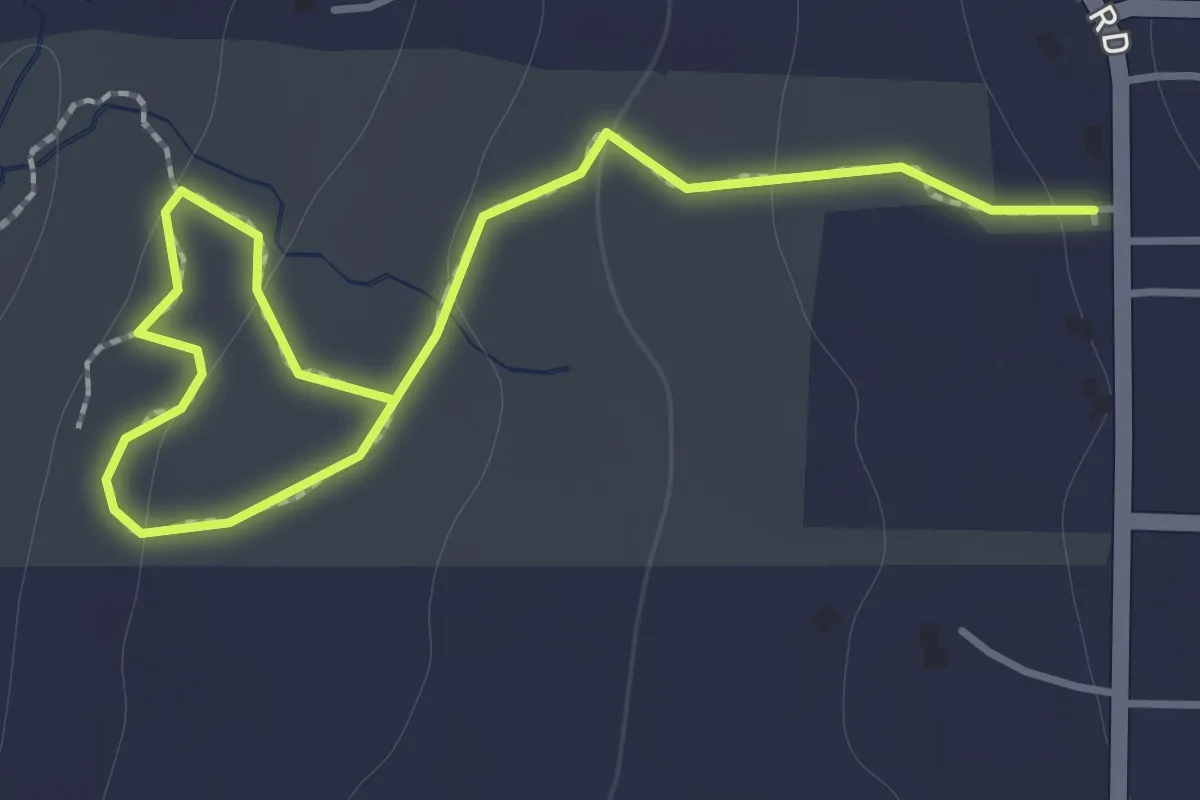
Easy · Trail
Esther's Loop
2.0 km · ↑ 72 m · 38 min · 7 km away
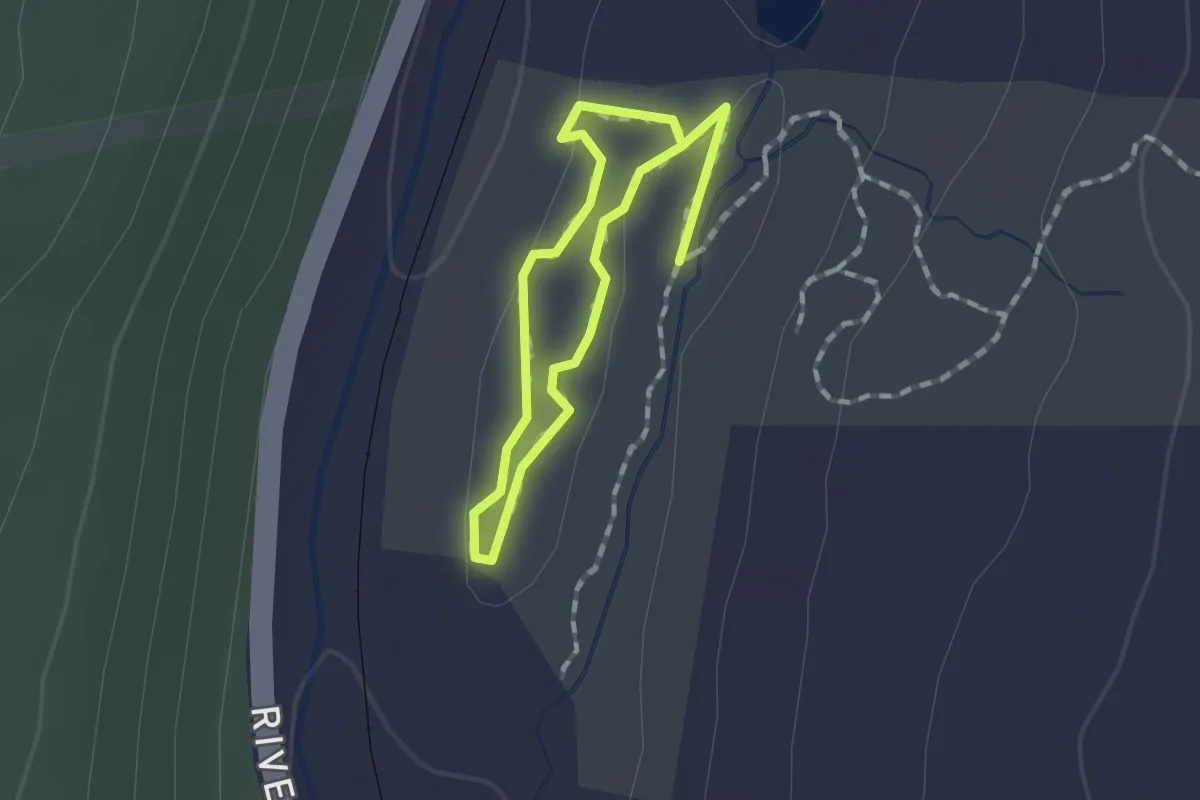
Easy · Trail
Ridge Loop Trail
1.1 km · ↑ 17 m · 18 min · 7 km away
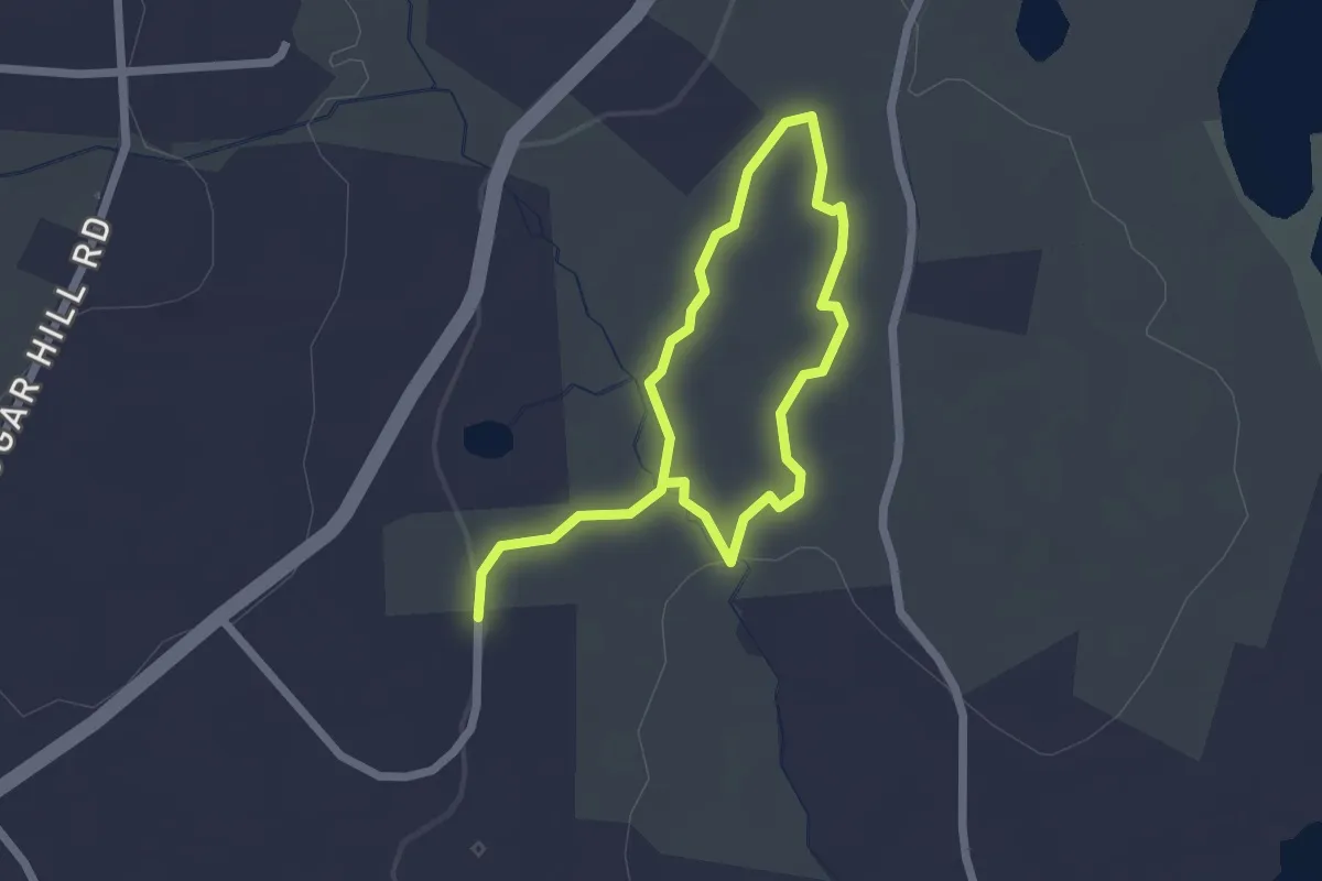
Easy · Trail
Loop Trail
3.4 km · ↑ 70 m · 57 min · 8 km away
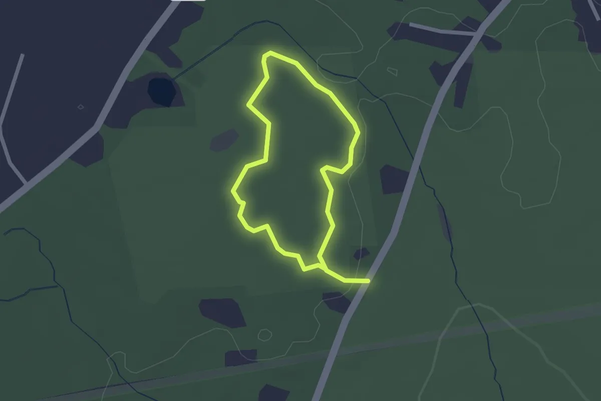
Easy · Trail
Balanced Boulder Trail
1.8 km · ↑ 32 m · 30 min · 9 km away
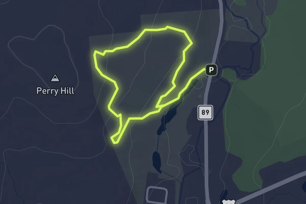
Easy · Trail
Rankin Trail
4.8 km · ↑ 128 m · 1 h 24 min · 9 km away
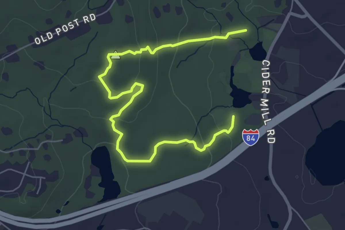
Easy · Trail
Red Trail
7.3 km · ↑ 197 m · 2 h 9 min · 9 km away
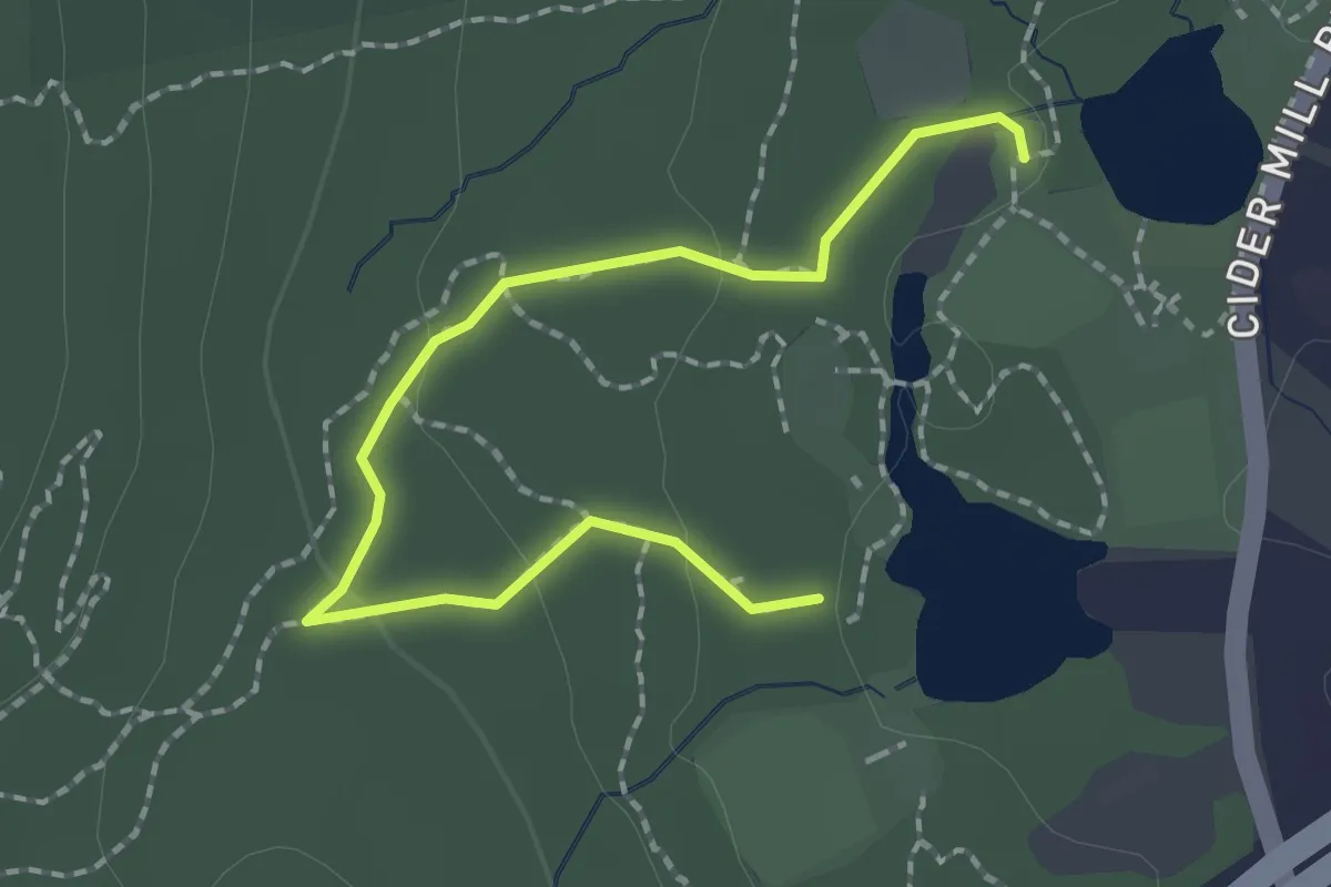
Easy · Trail
Yellow Trail
2.4 km · ↑ 56 m · 41 min · 9 km away
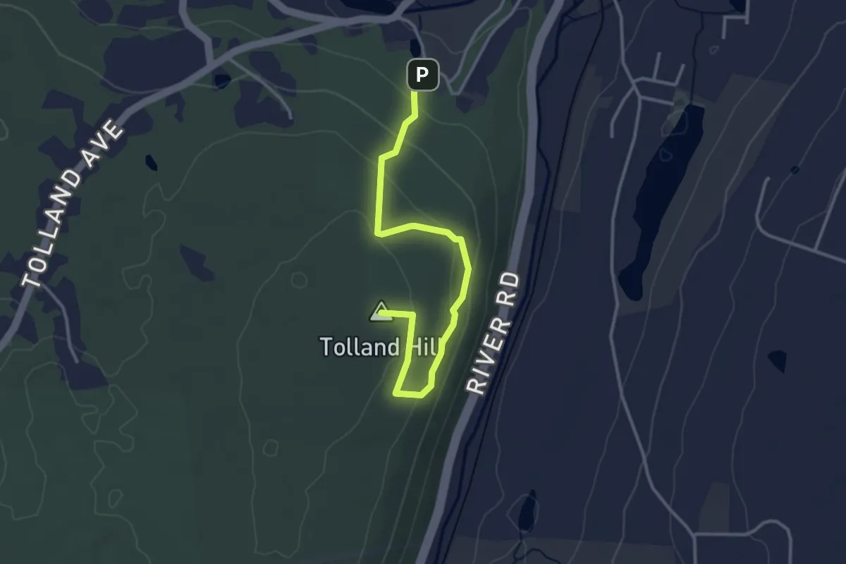
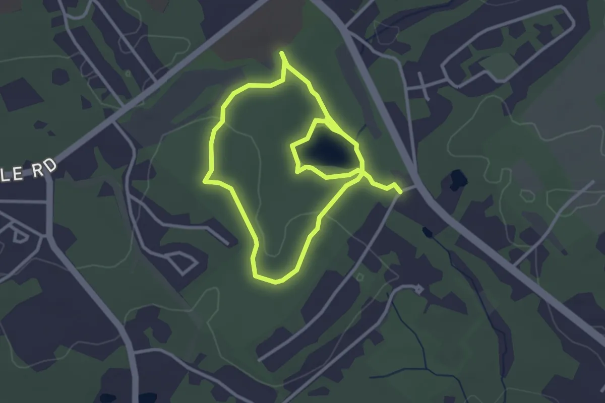
Easy · Summit
Woodlawn Trail
3.7 km · ↑ 117 m · 1 h 7 min · 9 km away
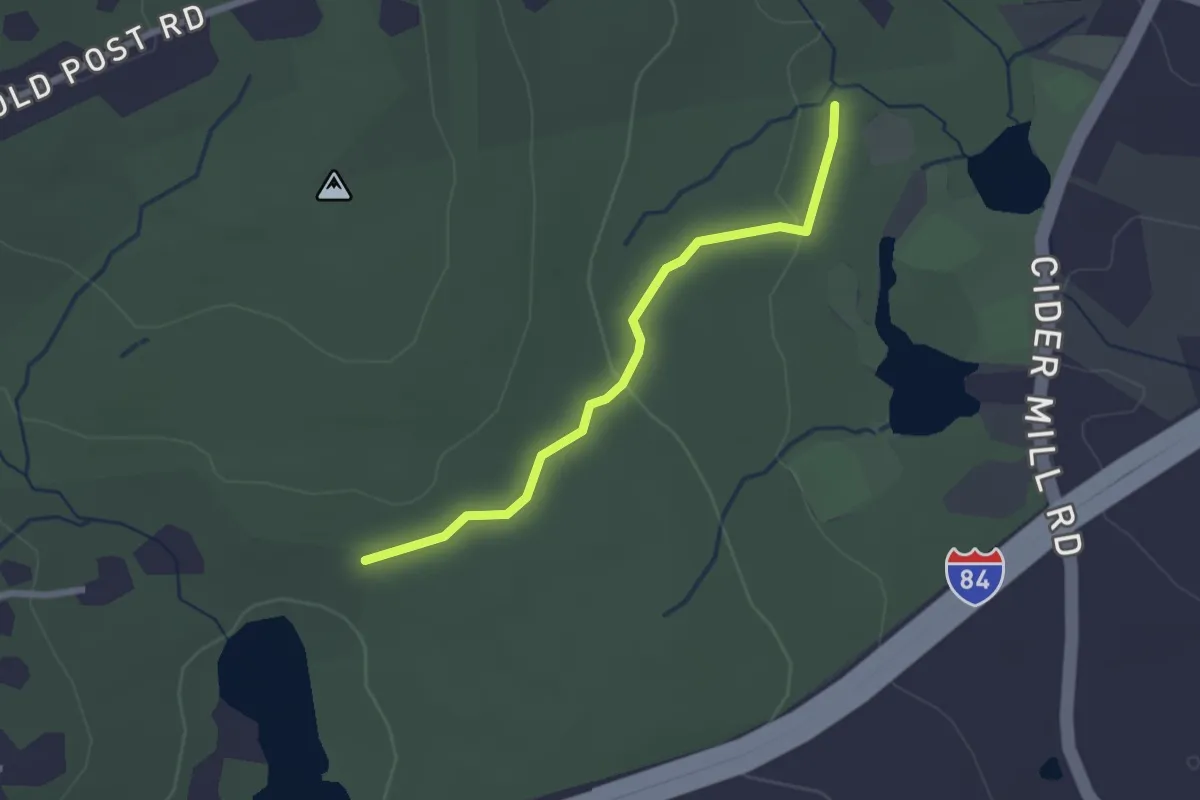
Easy · Trail
Albert E. Moss Sanctuary Trails
5.6 km · ↑ 55 m · 1 h 27 min · 9 km away
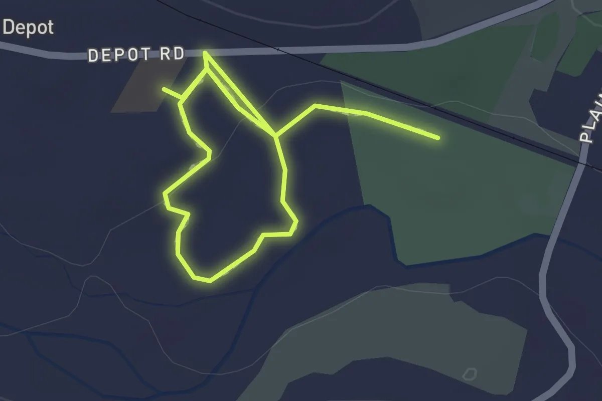
Easy · Trail
Blue Trail
2.4 km · ↑ 40 m · 39 min · 9 km away
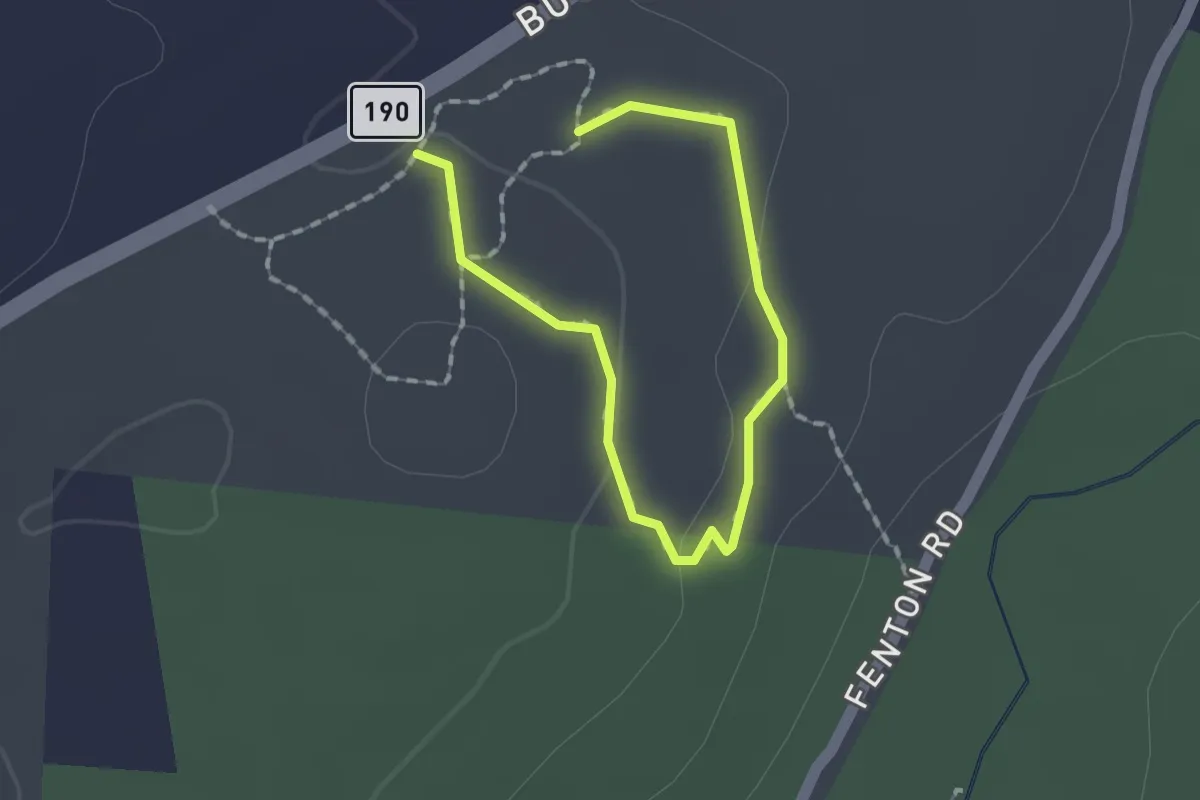
Easy · Trail
Lynch's Landing Trails
2.4 km · ↑ 19 m · 37 min · 9 km away
Easy · Trail
Woodland Trail
1.1 km · ↑ 33 m · 20 min · 9 km away
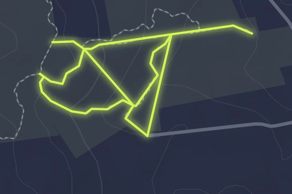
Easy · Trail
Weigold Trail
3.8 km · ↑ 136 m · 1 h 11 min · 10 km away
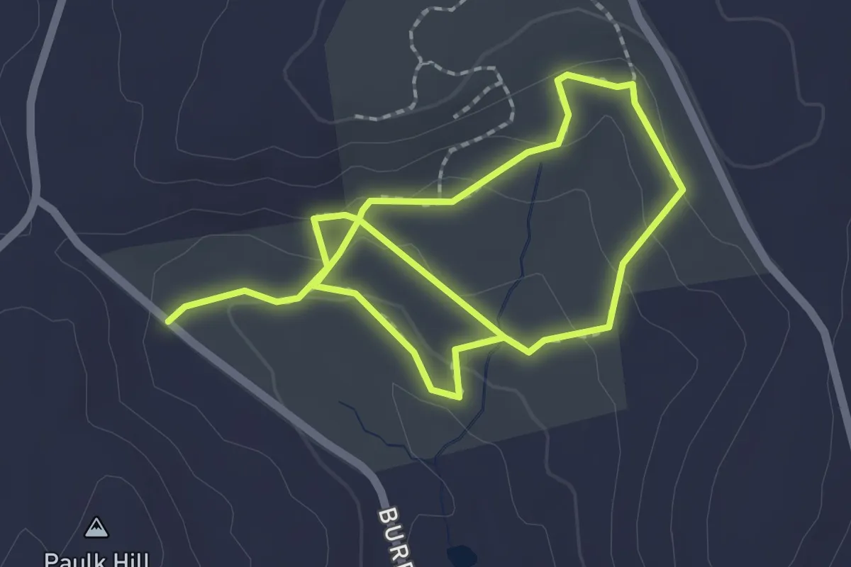
Easy · Trail
Loop Trail
3.8 km · ↑ 126 m · 1 h 10 min · 10 km away
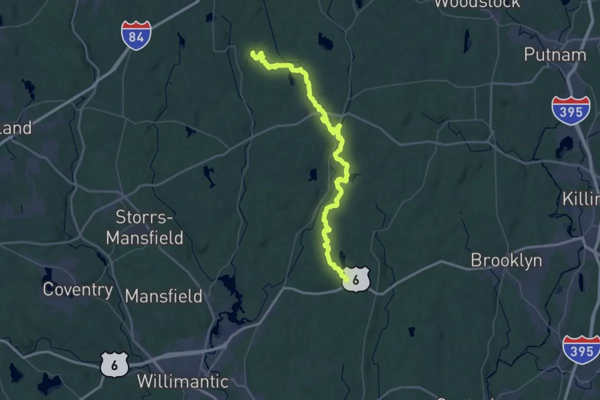
Demanding · Trail
Natchaug Trail
27.7 km · ↑ 469 m · 7 h 57 min · 10 km away
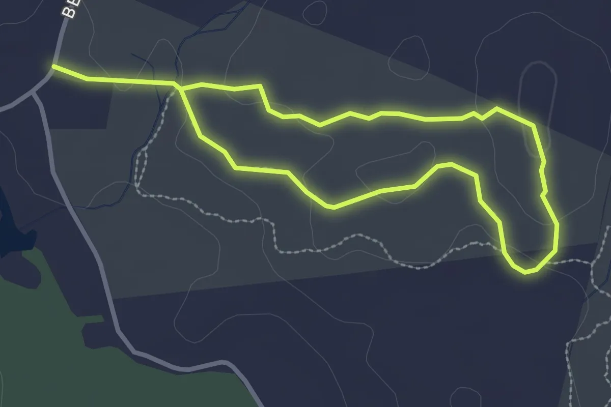
Easy · Trail
Friedman Forest Trail
5.1 km · ↑ 145 m · 1 h 31 min · 10 km away
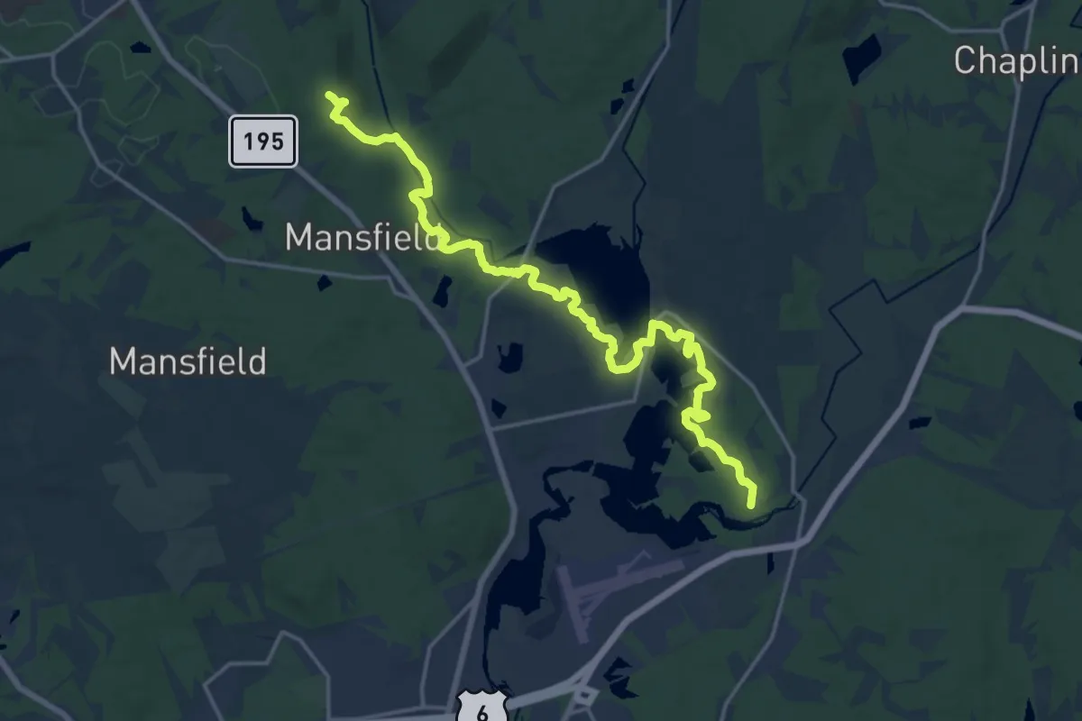
Demanding · Trail
Nipmuck Trail - East Branch
20.6 km · ↑ 261 m · 5 h 26 min · 10 km away
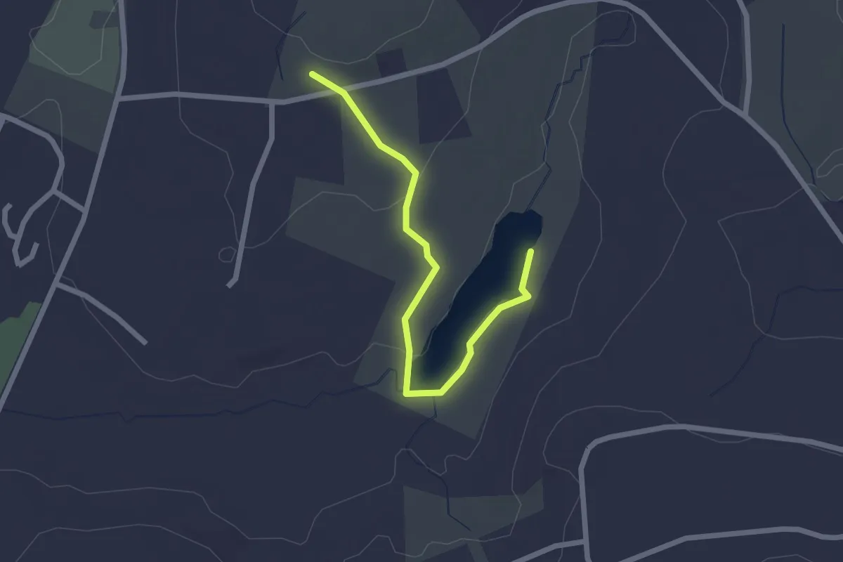
Easy · Trail
Pond Trail
2.4 km · ↑ 39 m · 39 min · 10 km away
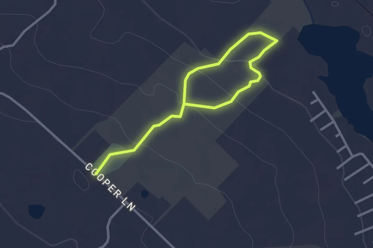
Easy · Trail
Williams Preserve Loop
3.3 km · ↑ 122 m · 1 h 3 min · 10 km away
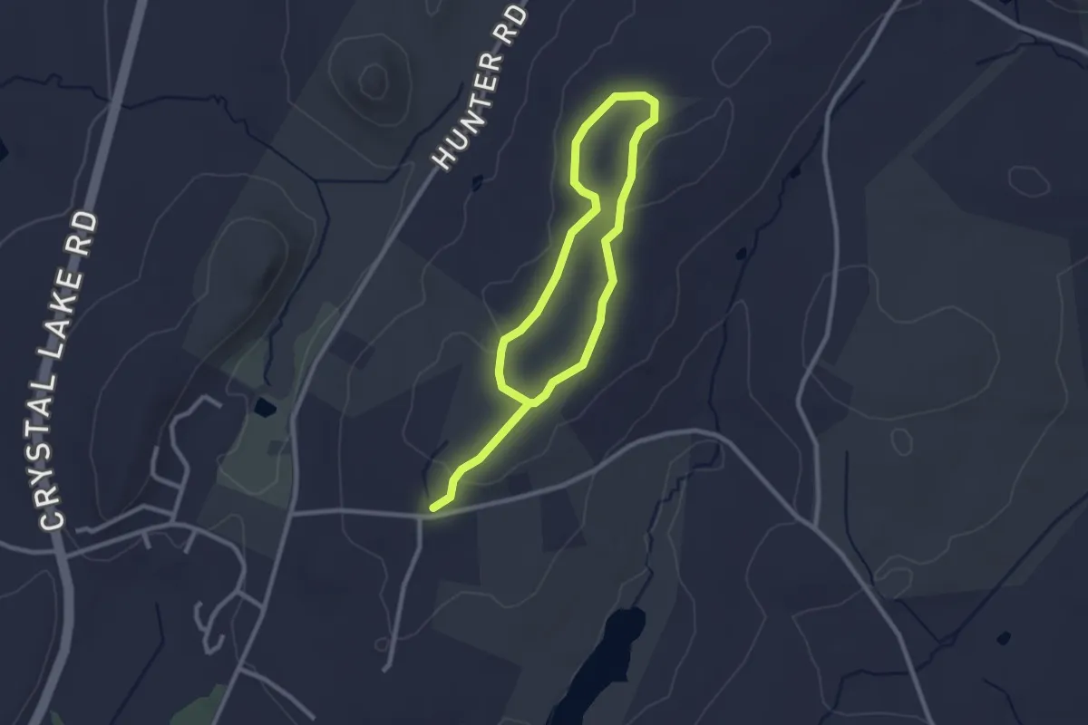
Easy · Trail
Loop Trail
4.3 km · ↑ 53 m · 1 h 7 min · 10 km away
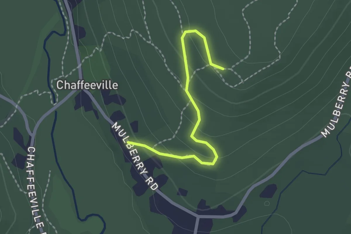
Easy · Trail
White Oak Trail
2.0 km · ↑ 72 m · 38 min · 10 km away
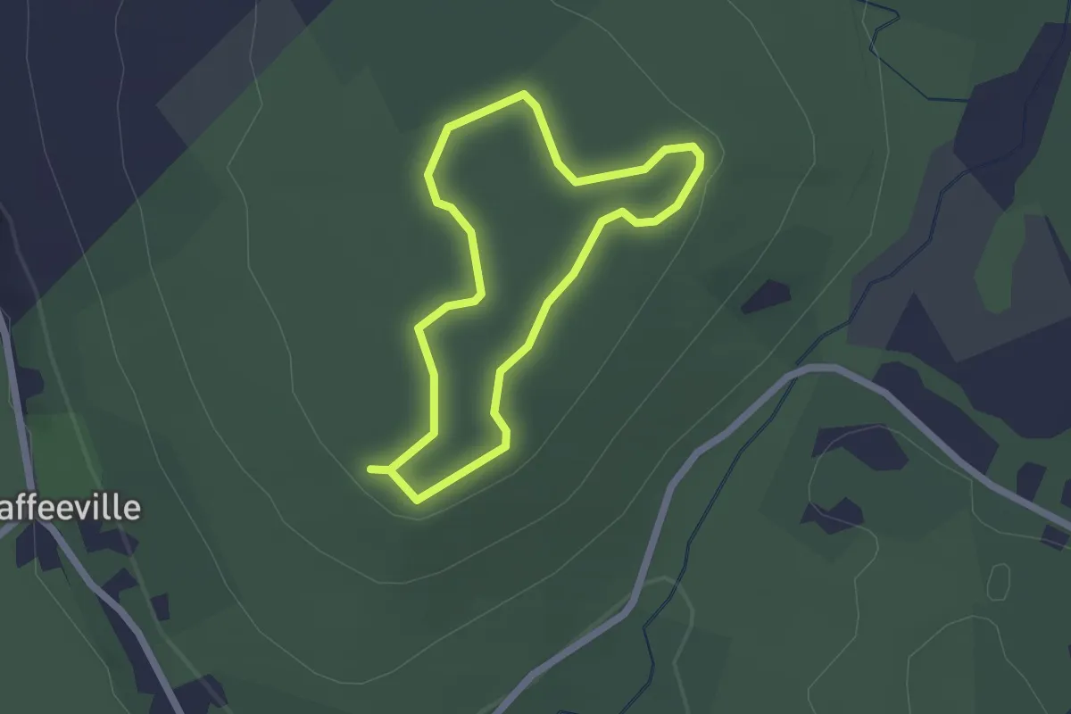
Easy · Trail
Chapin Trail
1.8 km · ↑ 18 m · 29 min · 10 km away
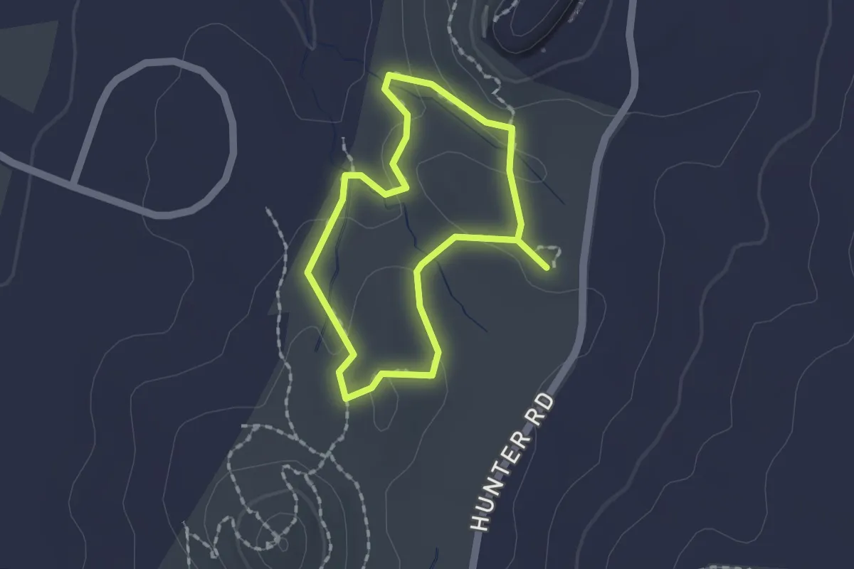
Easy · Trail
Loop Trail
1.4 km · ↑ 32 m · 26 min · 11 km away
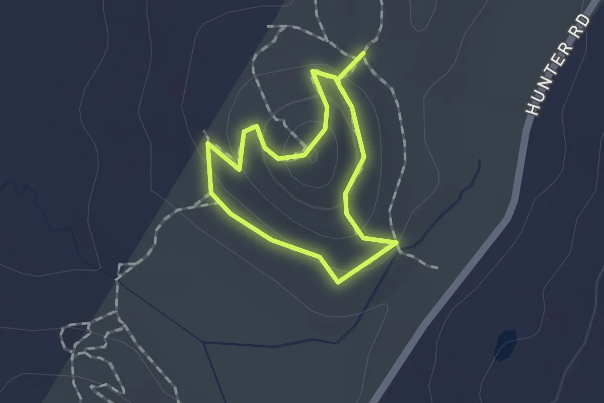
Easy · Trail
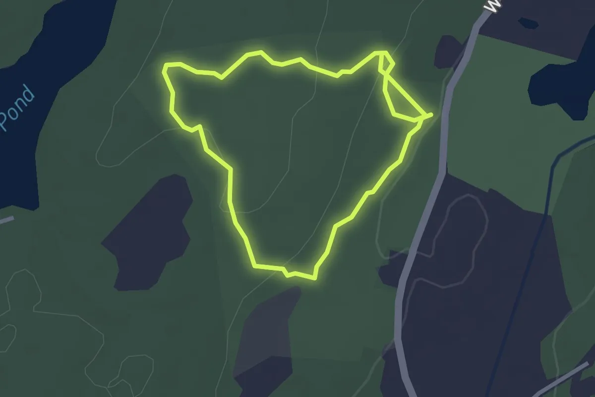
Ledge Loop Trail
1.0 km · ↑ 55 m · 22 min · 11 km away
Easy · Trail
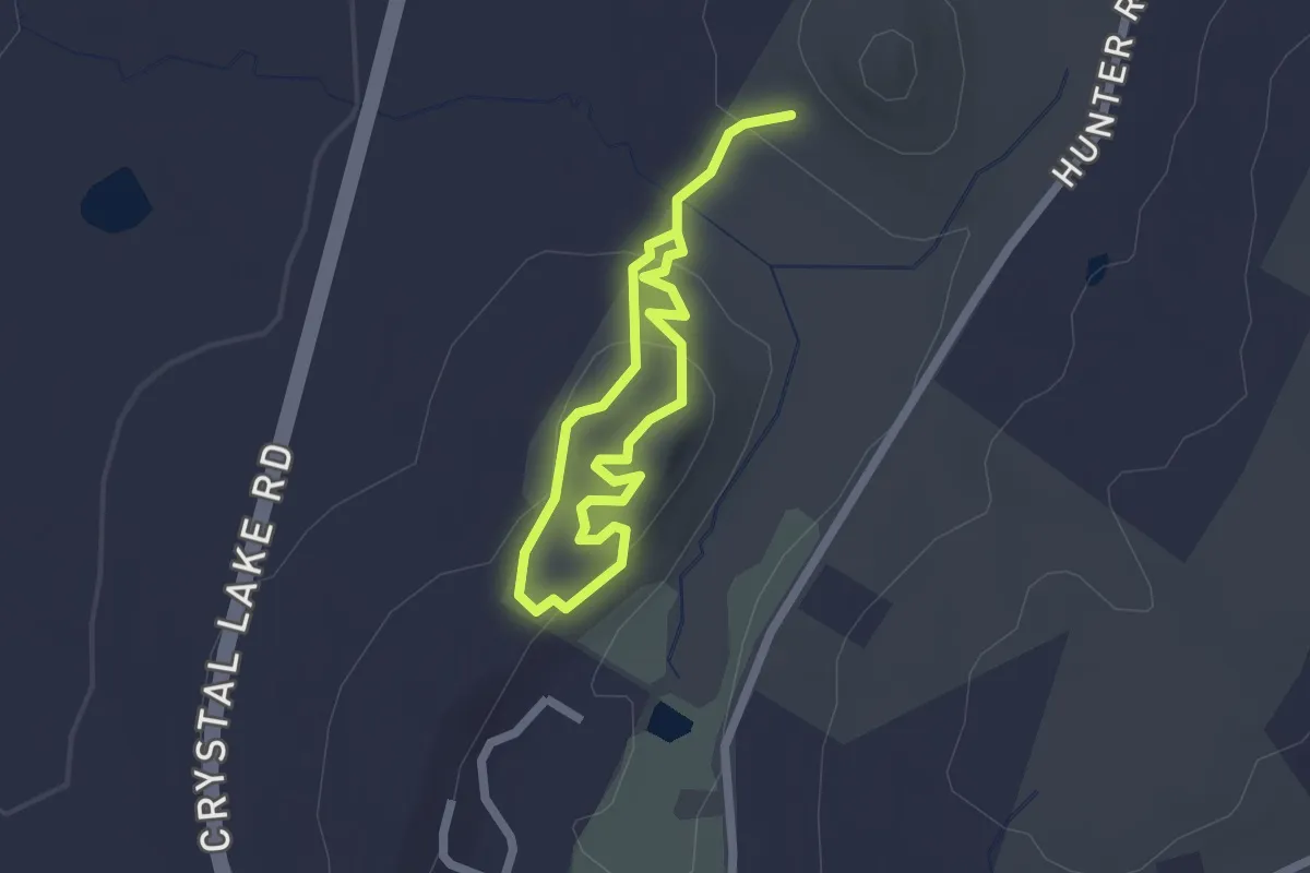
Loop Trail
2.4 km · ↑ 71 m · 45 min · 11 km away
Easy · Trail
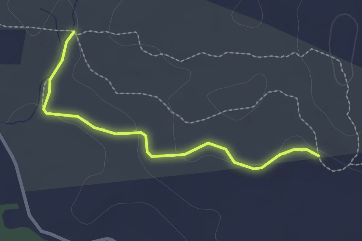
Ridge Loop Trail
3.2 km · ↑ 109 m · 59 min · 11 km away
Easy · Trail
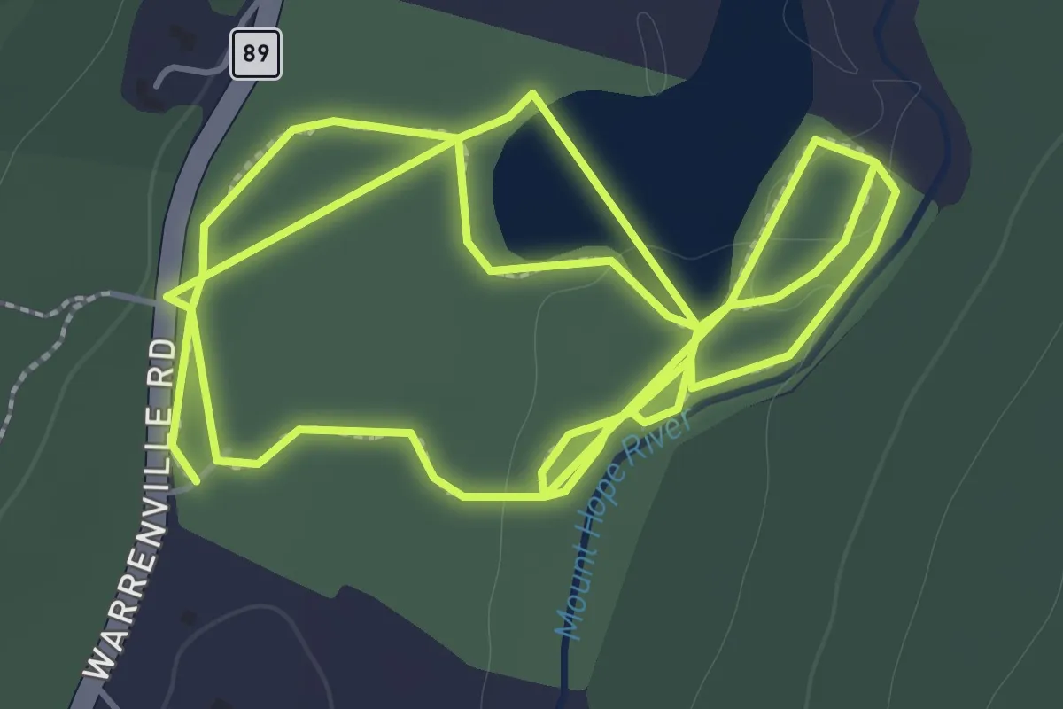
Richard Hyde Trail
2.3 km · ↑ 32 m · 37 min · 11 km away
Easy · Trail
Mt. Hope Park Trails
4.9 km · ↑ 15 m · 1 h 12 min · 11 km away
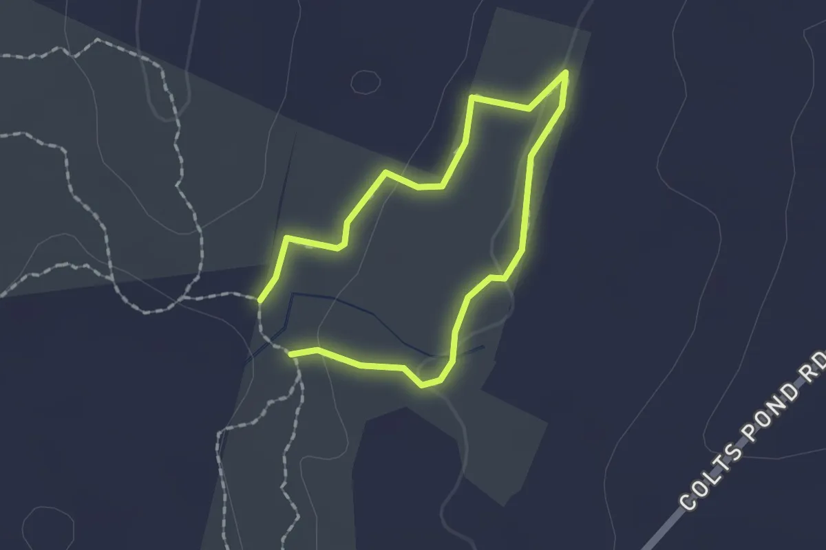
Easy · Trail
Pinkham Yellow Trail
1.3 km · ↑ 25 m · 22 min · 11 km away
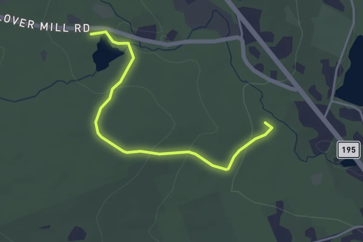
Easy · Trail
Barrows Trail
3.6 km · ↑ 114 m · 1 h 6 min · 12 km away
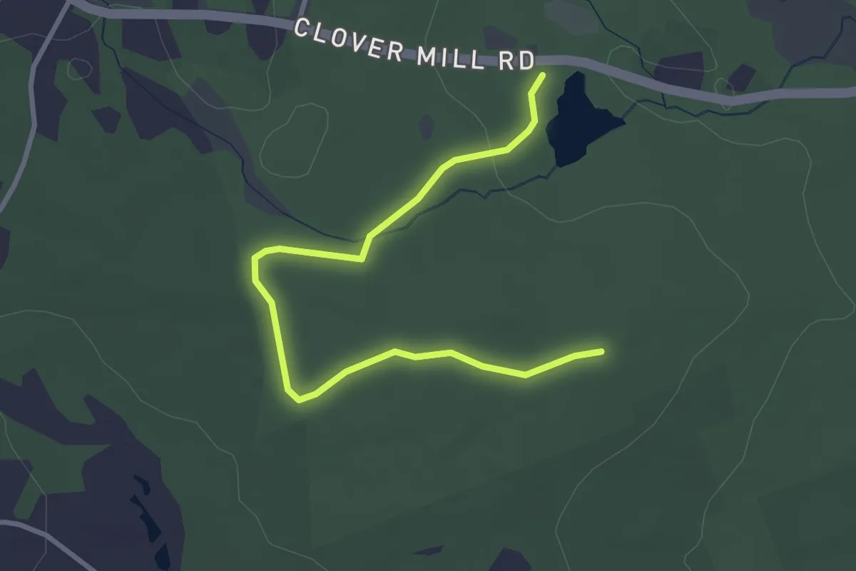
Easy · Trail
Stone Bridge Trail
3.6 km · ↑ 38 m · 55 min · 12 km away
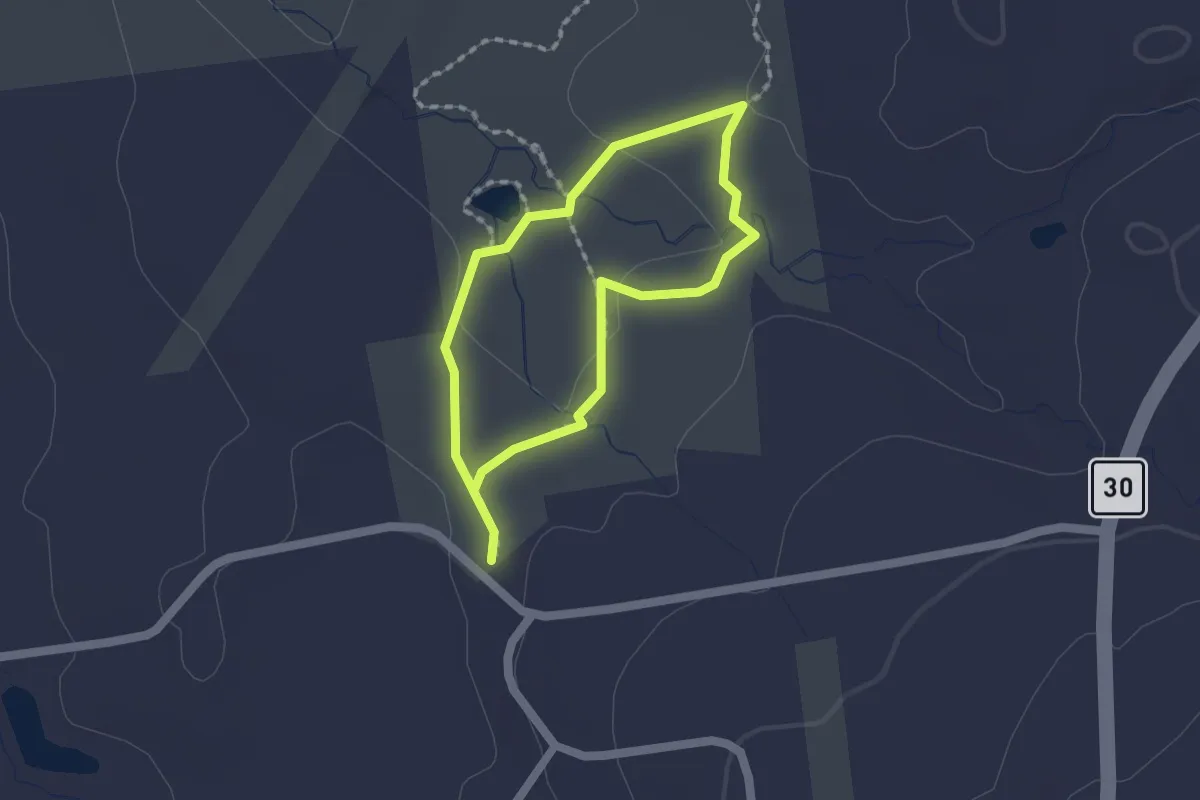
Easy · Trail
Orange Trail
1.4 km · ↑ 14 m · 23 min · 12 km away
Easy · Trail
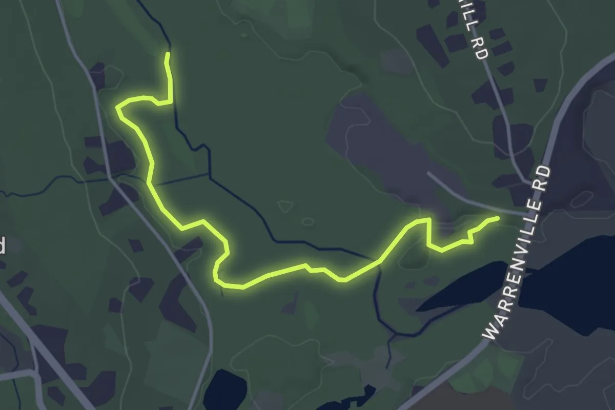
Fenton River Trai
4.6 km · ↑ 36 m · 1 h 9 min · 12 km away
Easy · Trail
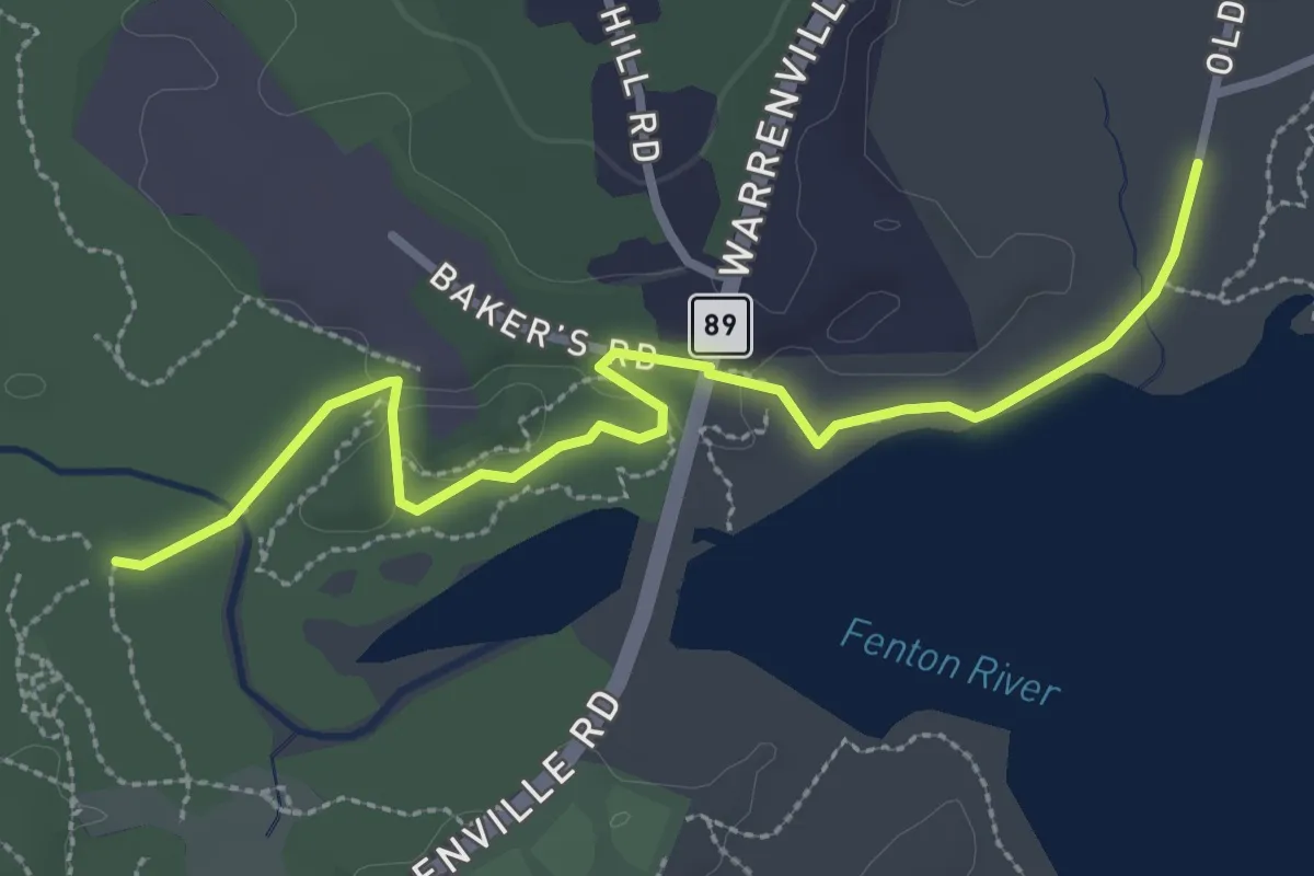
Yellow Trail
3.5 km · ↑ 58 m · 57 min · 13 km away
Easy · Trail
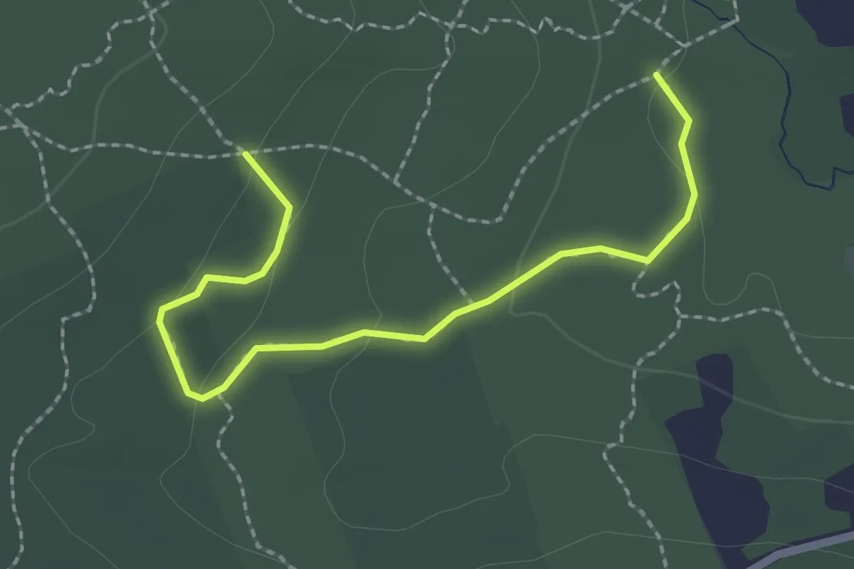
Bird Loop Trail
2.6 km · ↑ 50 m · 43 min · 13 km away
Easy · Trail
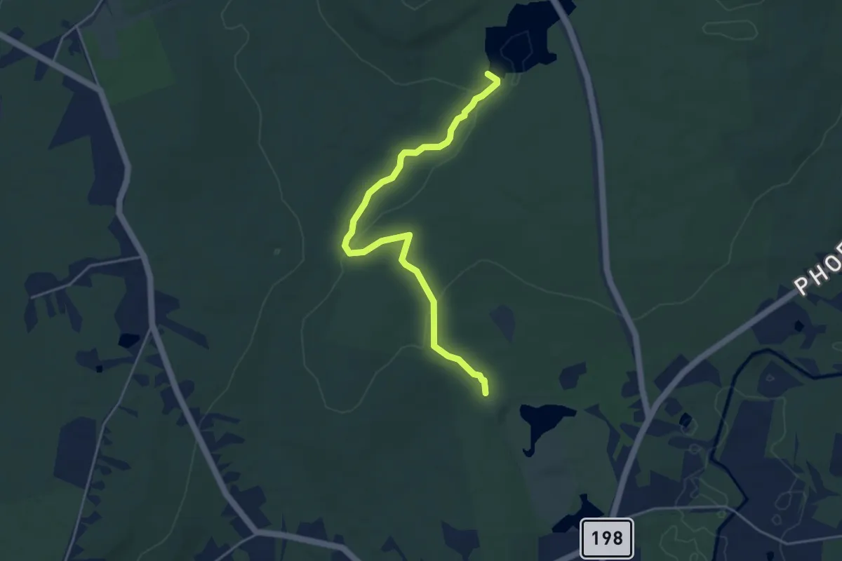
Dim White Trail
4.8 km · ↑ 71 m · 1 h 17 min · 13 km away
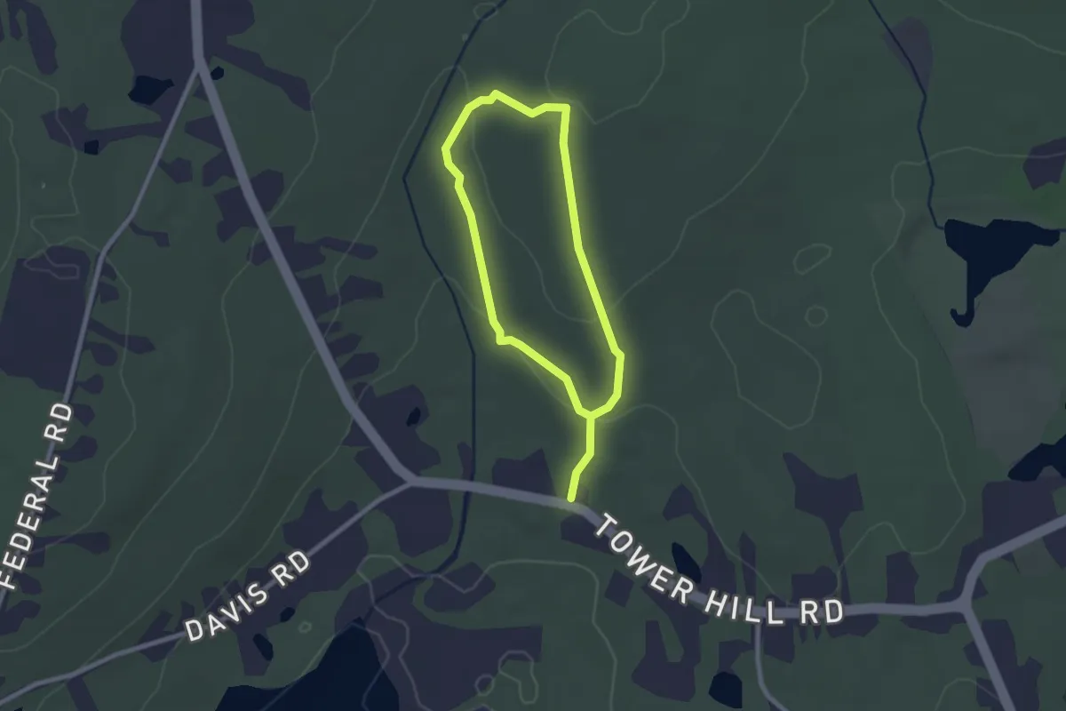
Easy · Trail
Tower Yellow Trail
4.0 km · ↑ 100 m · 1 h 10 min · 13 km away
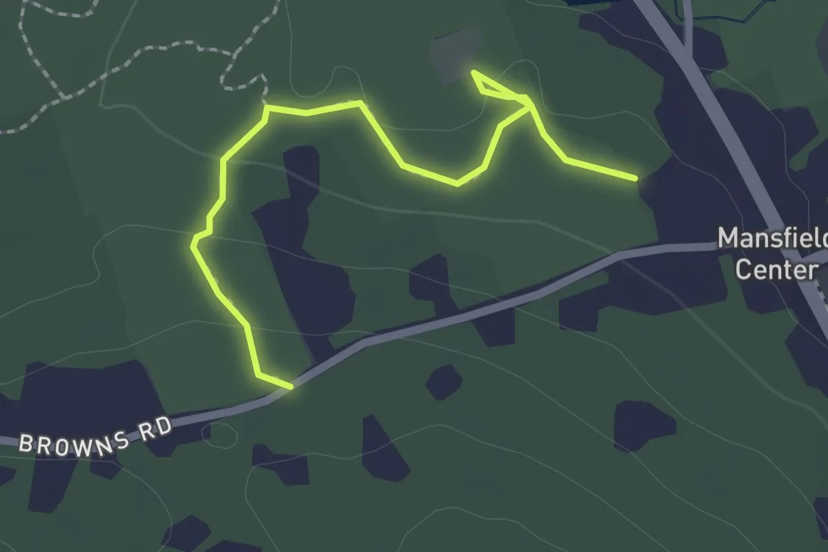
Easy · Trail
Holt Kinney Trail
2.3 km · ↑ 37 m · 38 min · 13 km away
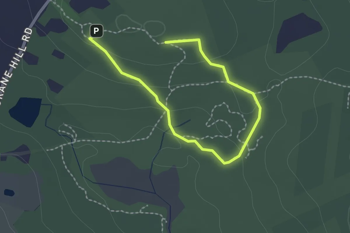
Easy · Trail
Joshua's Trust
2.7 km · ↑ 81 m · 49 min · 14 km away