Trails near Woodstock
21 hikes starting within 15 km, nearest first.
Nearest first
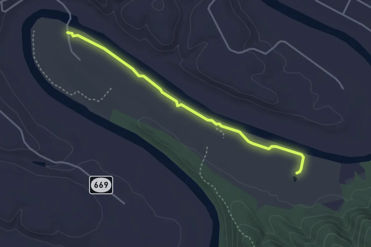
Easy · Trail
Gokatta Trail
3.7 km · ↑ 0 m · 53 min · 2 km away
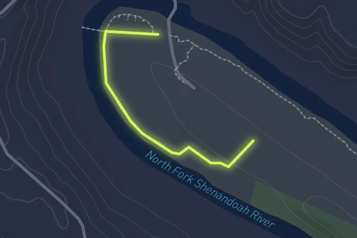
Easy · Trail
Eagles Edge Trail
2.0 km · ↑ 25 m · 32 min · 2 km away
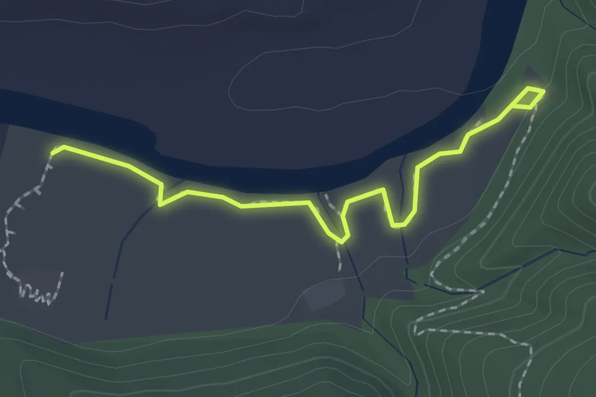
Easy · Trail
Bass Bright Trail
2.1 km · ↑ 27 m · 34 min · 3 km away
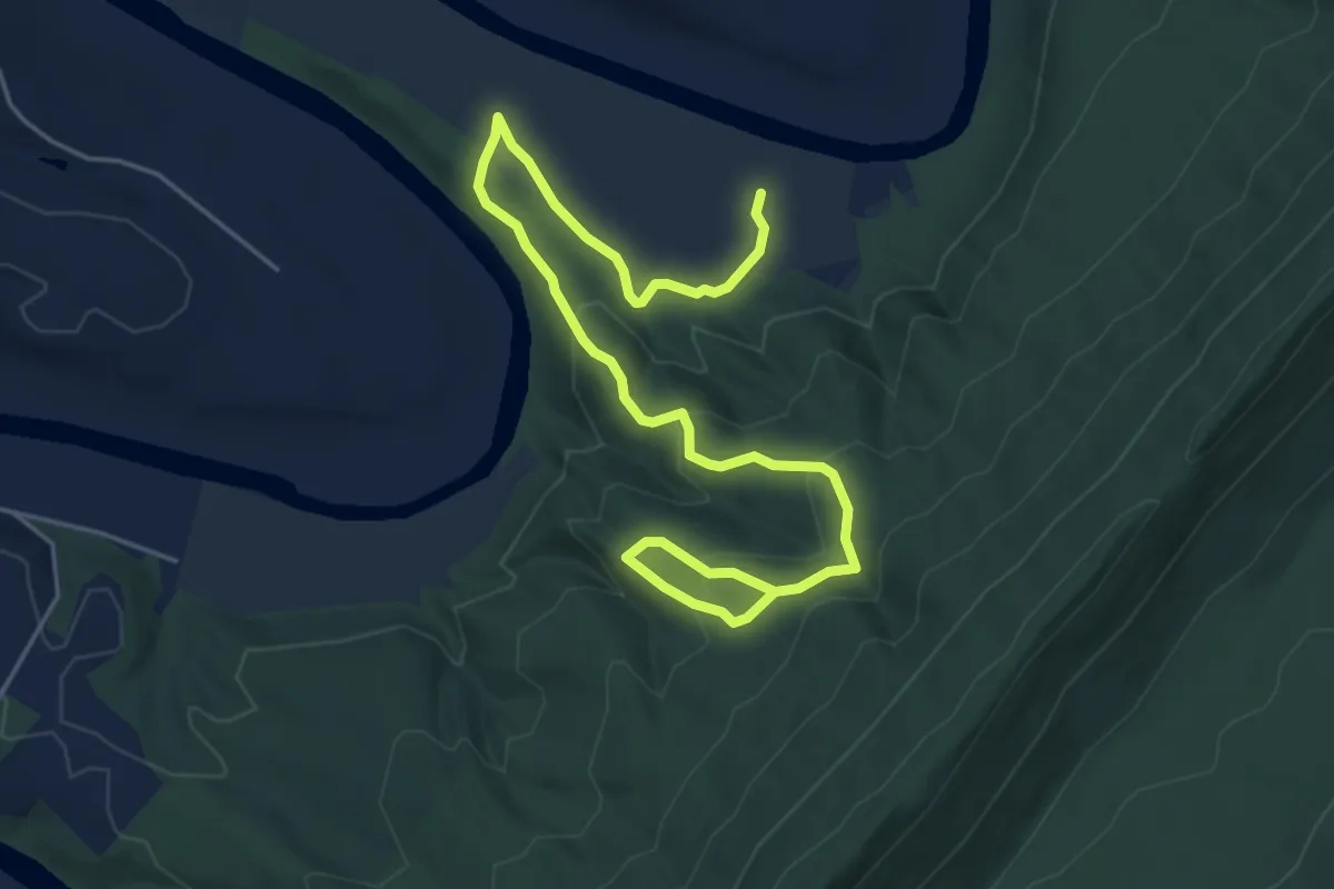
Easy · Trail
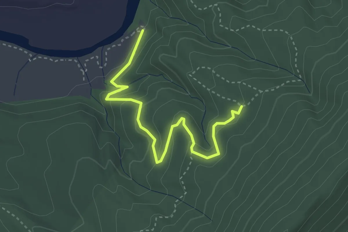
Riverbend Rise Trail
7.5 km · ↑ 316 m · 2 h 27 min · 3 km away
Easy · Trail
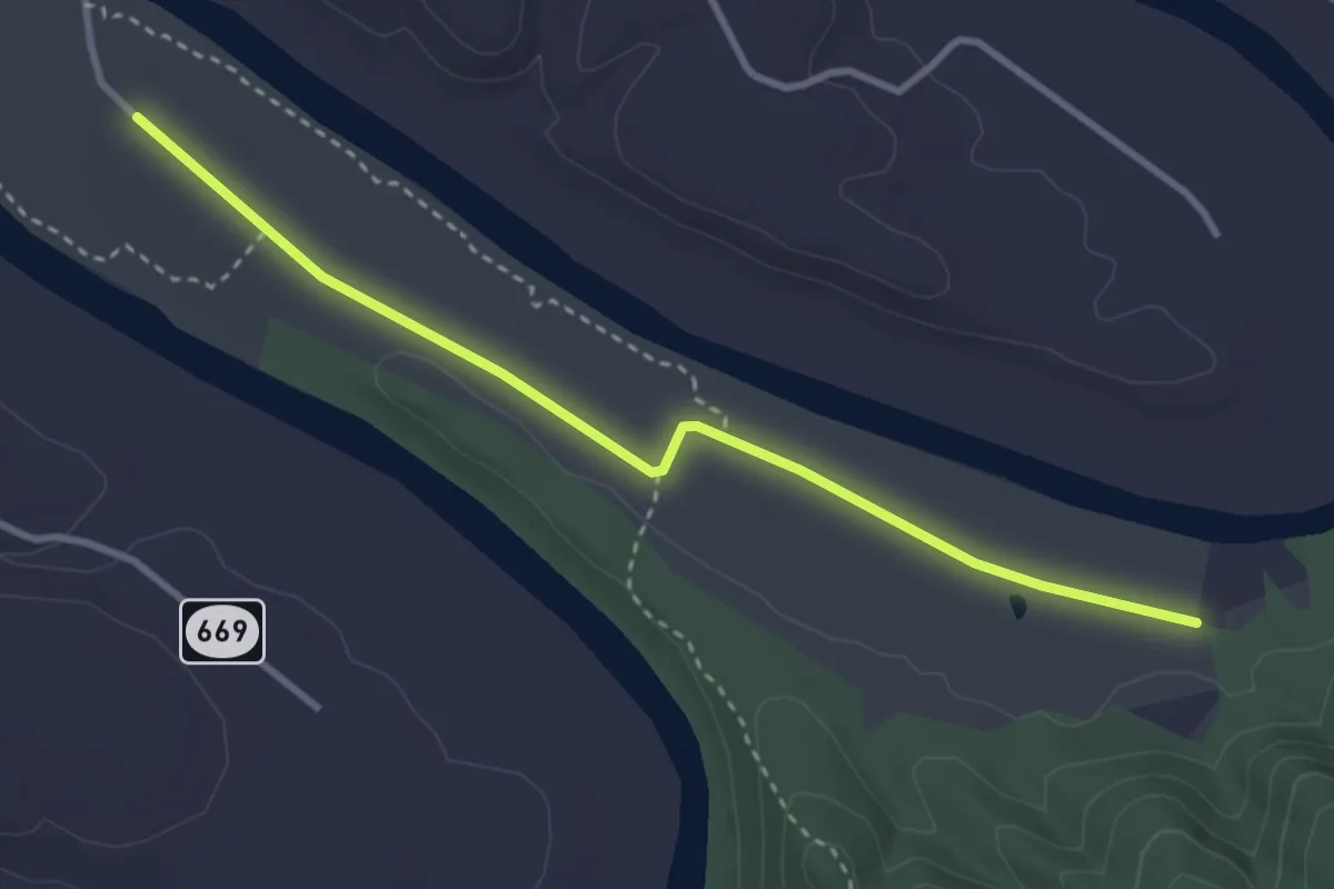
Pawpaw Hollow Trail
3.9 km · ↑ 168 m · 1 h 17 min · 3 km away
Easy · Trail
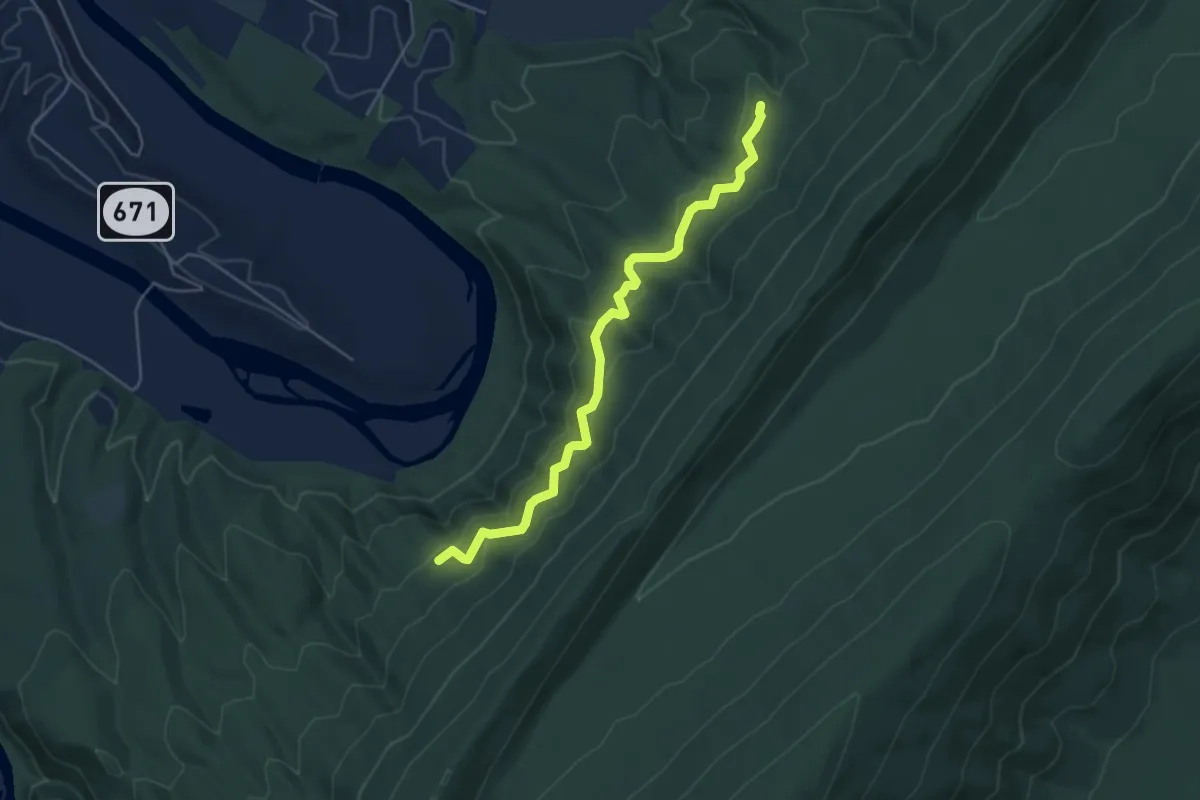
Lupton Road
3.8 km · ↑ 4 m · 54 min · 4 km away
Easy · Trail
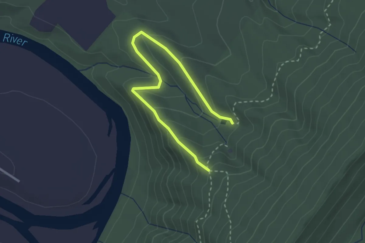
Reservoir Trail
5.5 km · ↑ 206 m · 1 h 45 min · 4 km away
Easy · Trail
Stonecrop Ridge Trail
3.4 km · ↑ 179 m · 1 h 12 min · 4 km away
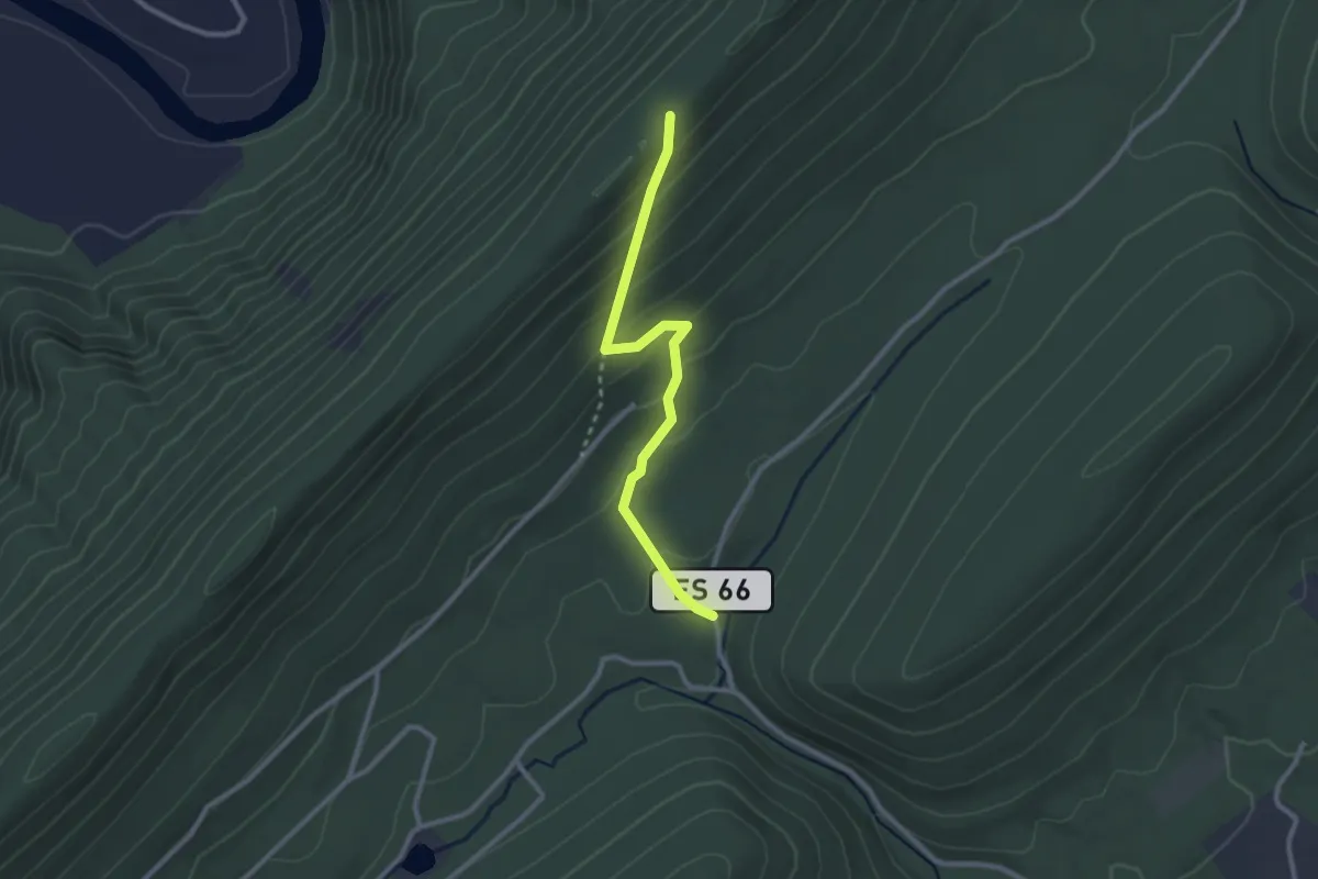
Easy · Trail
Mine Gap Trail
2.9 km · ↑ 192 m · 1 h 6 min · 9 km away
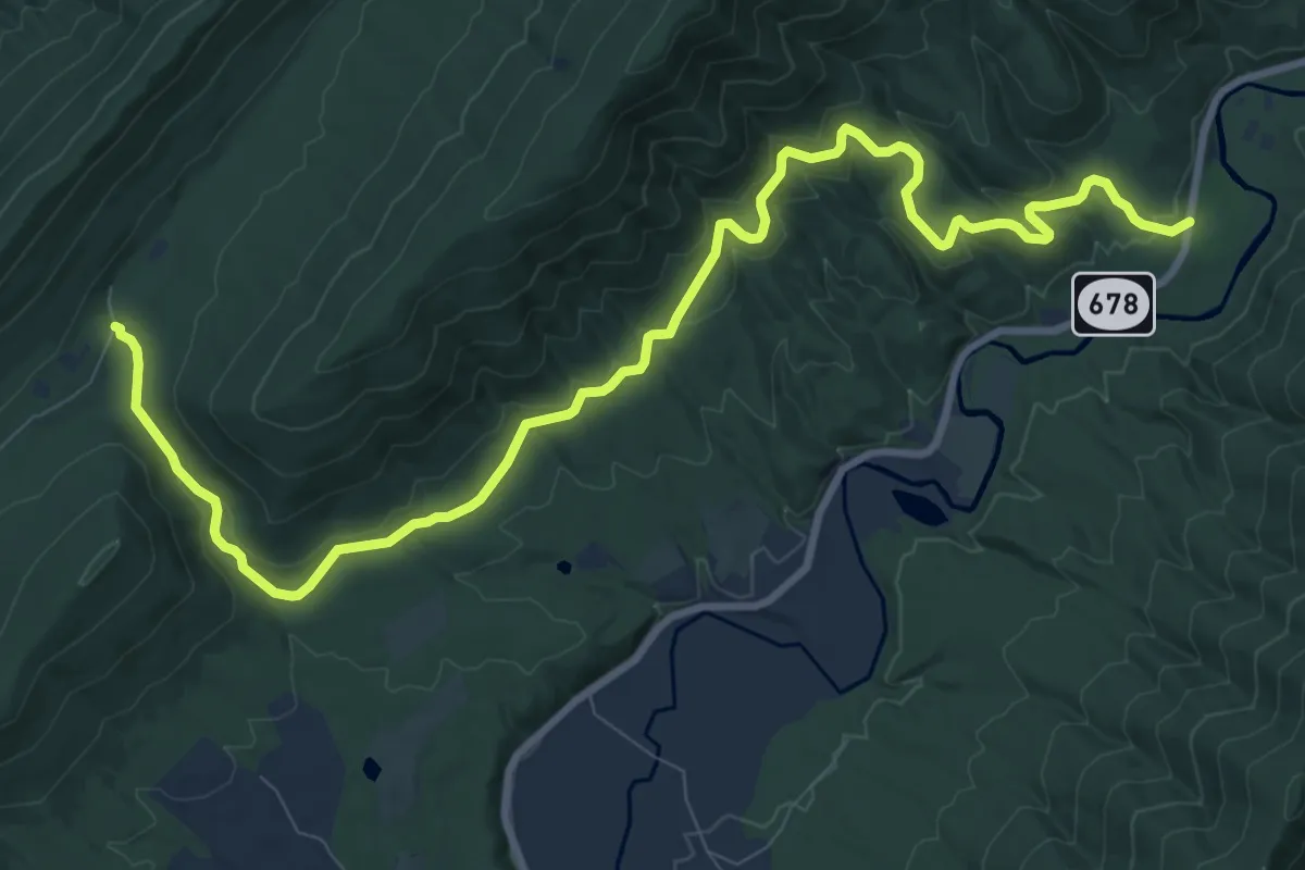
Medium · Trail
Mudhole Gap Trail
13.7 km · ↑ 309 m · 3 h 54 min · 12 km away
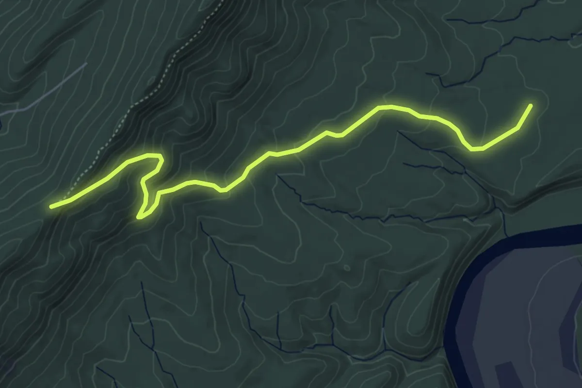
Easy · Trail
Milford Gap Trail
6.5 km · ↑ 307 m · 2 h 13 min · 12 km away
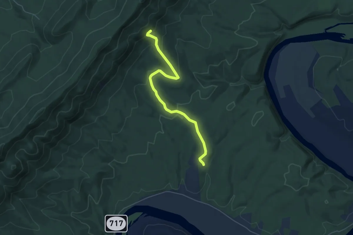
Easy · Trail
Tolliver Trail
5.6 km · ↑ 186 m · 1 h 43 min · 12 km away
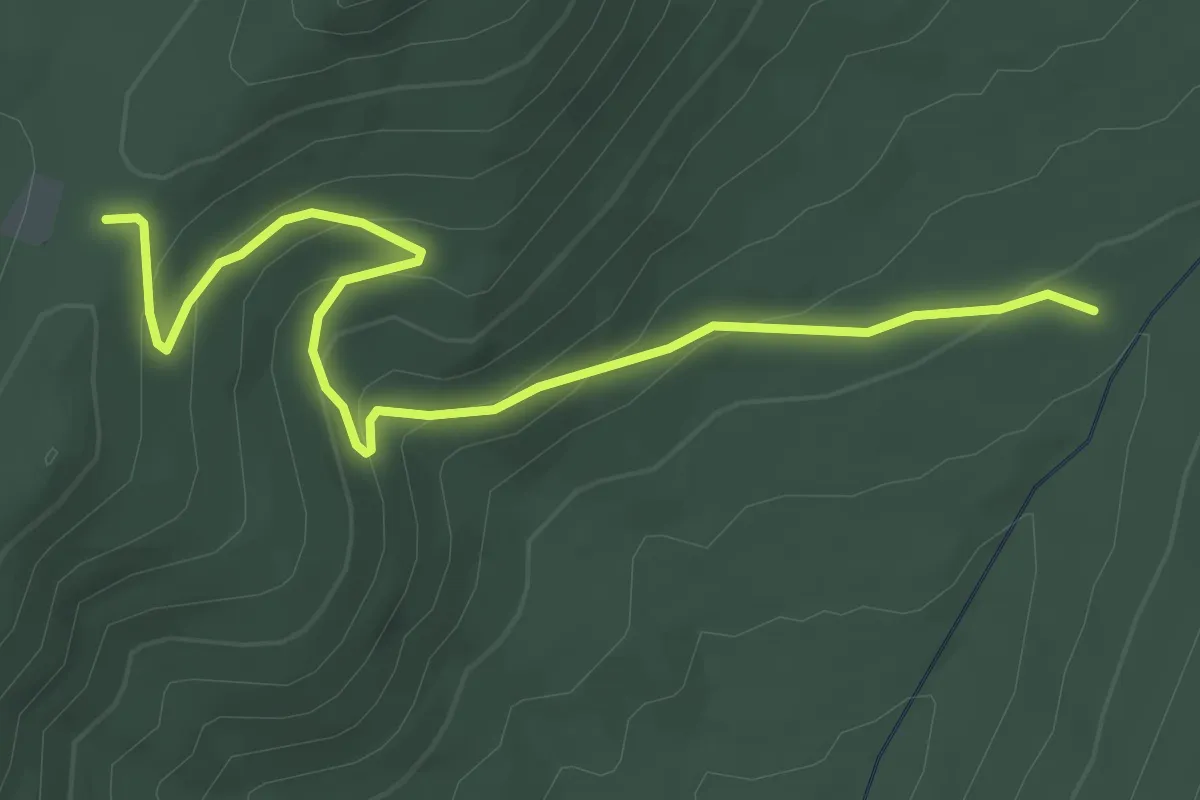
Easy · Trail
Bread Road Trail
4.2 km · ↑ 205 m · 1 h 26 min · 12 km away
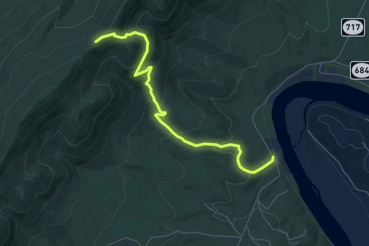
Medium · Trail
Habron Gap Trail
6.3 km · ↑ 428 m · 2 h 25 min · 13 km away
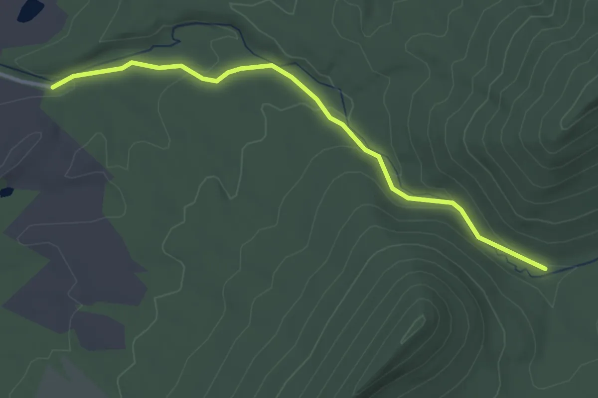
Easy · Trail
Veach Gap Trail
3.7 km · ↑ 101 m · 1 h 5 min · 13 km away
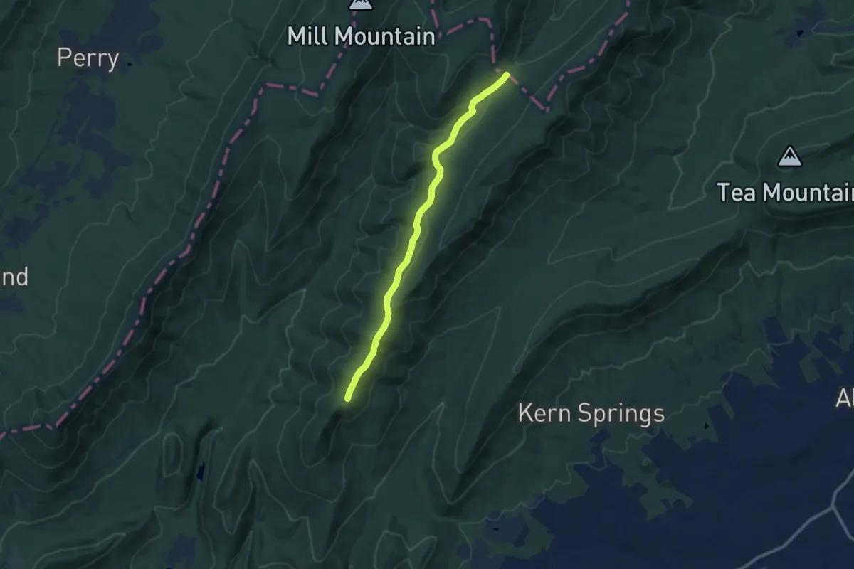
Medium · Trail
Little Sluice Trail
10.6 km · ↑ 245 m · 3 h 2 min · 13 km away
Easy · Trail
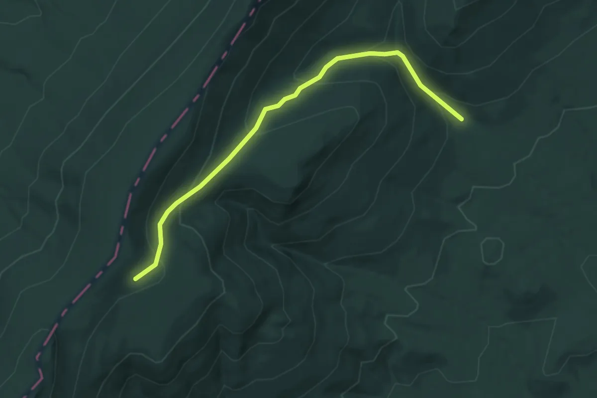
Sulphur Spring Gap Trail
4.9 km · ↑ 277 m · 1 h 45 min · 13 km away
Easy · Trail
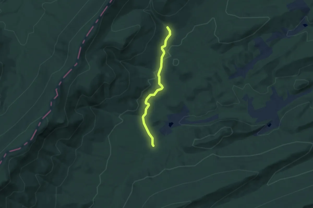
Sulphur Spring Trail
5.6 km · ↑ 149 m · 1 h 39 min · 13 km away
Medium · Trail
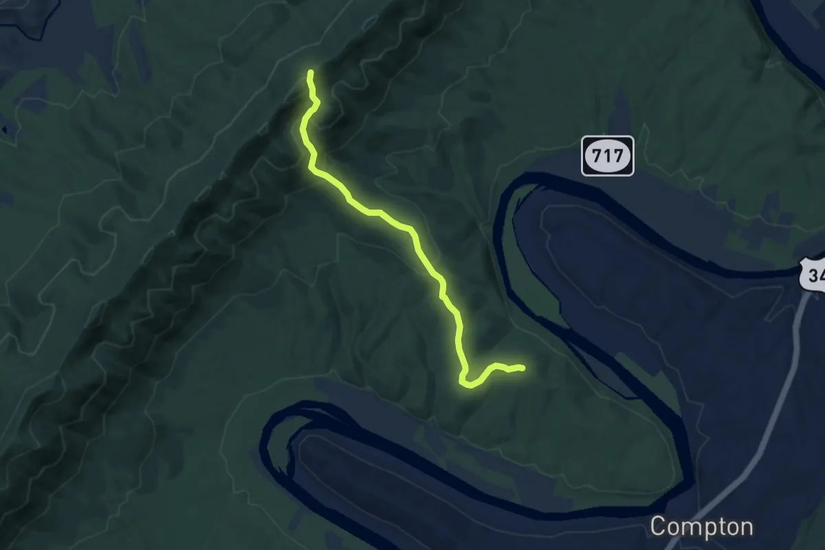
Indian Grave Ridge Trail
7.5 km · ↑ 381 m · 2 h 36 min · 14 km away
Medium · Trail
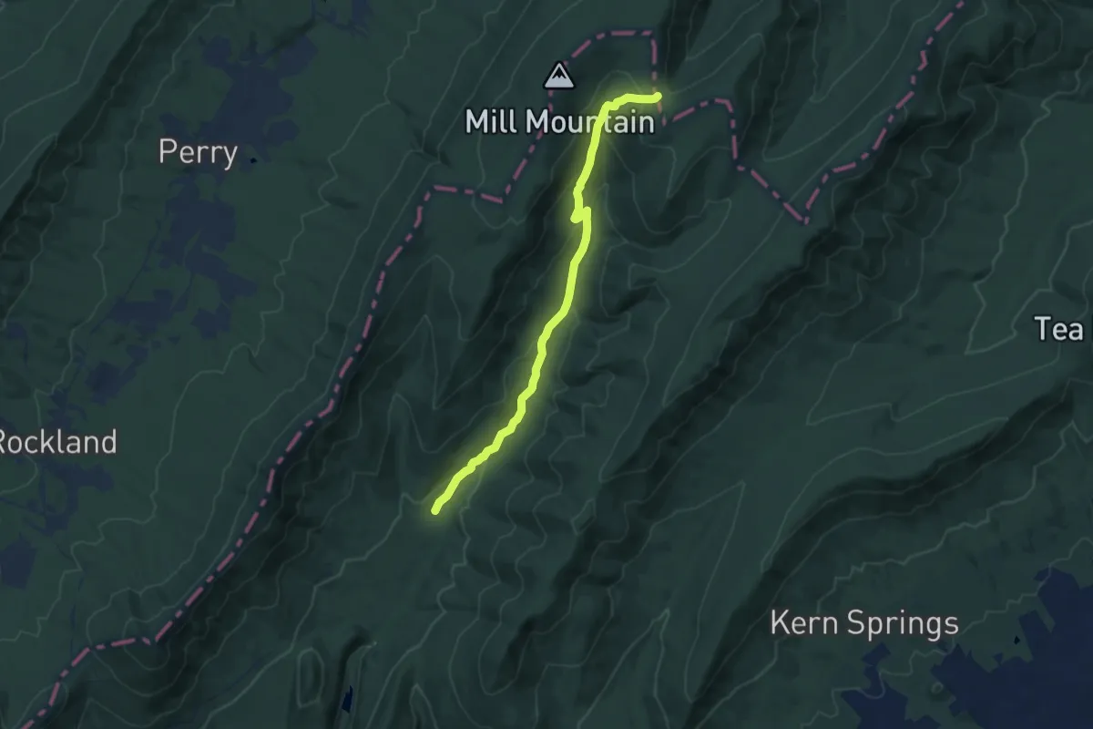
Little Stony Creek Trail
11.4 km · ↑ 445 m · 3 h 40 min · 14 km away
Medium · Trail
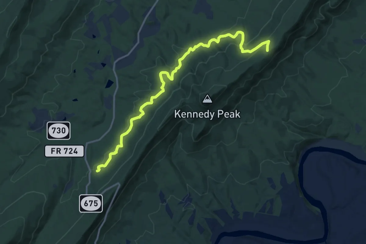
Stephens Trail
14.1 km · ↑ 390 m · 4 h 11 min · 15 km away