Trails in United States
10,367 hiking trails, each with its route, climb, walking time and grade.
All trails, page 102 of 216
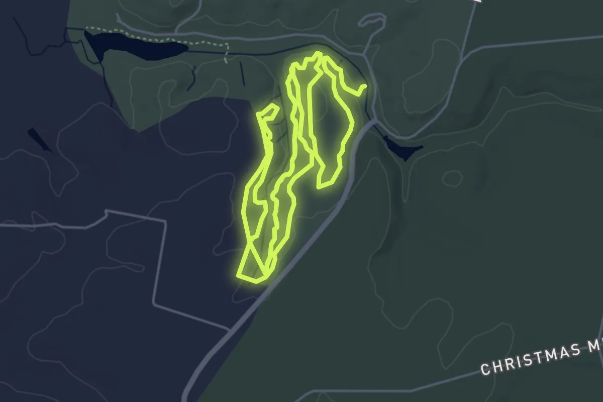
Medium · Trail
Knot Trail
15.0 km · ↑ 205 m · 4 h
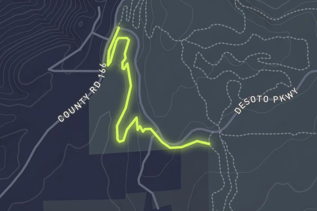
Easy · Trail
Knotty Pine Mountain Bike Trail
3.3 km · ↑ 50 m · 53 min
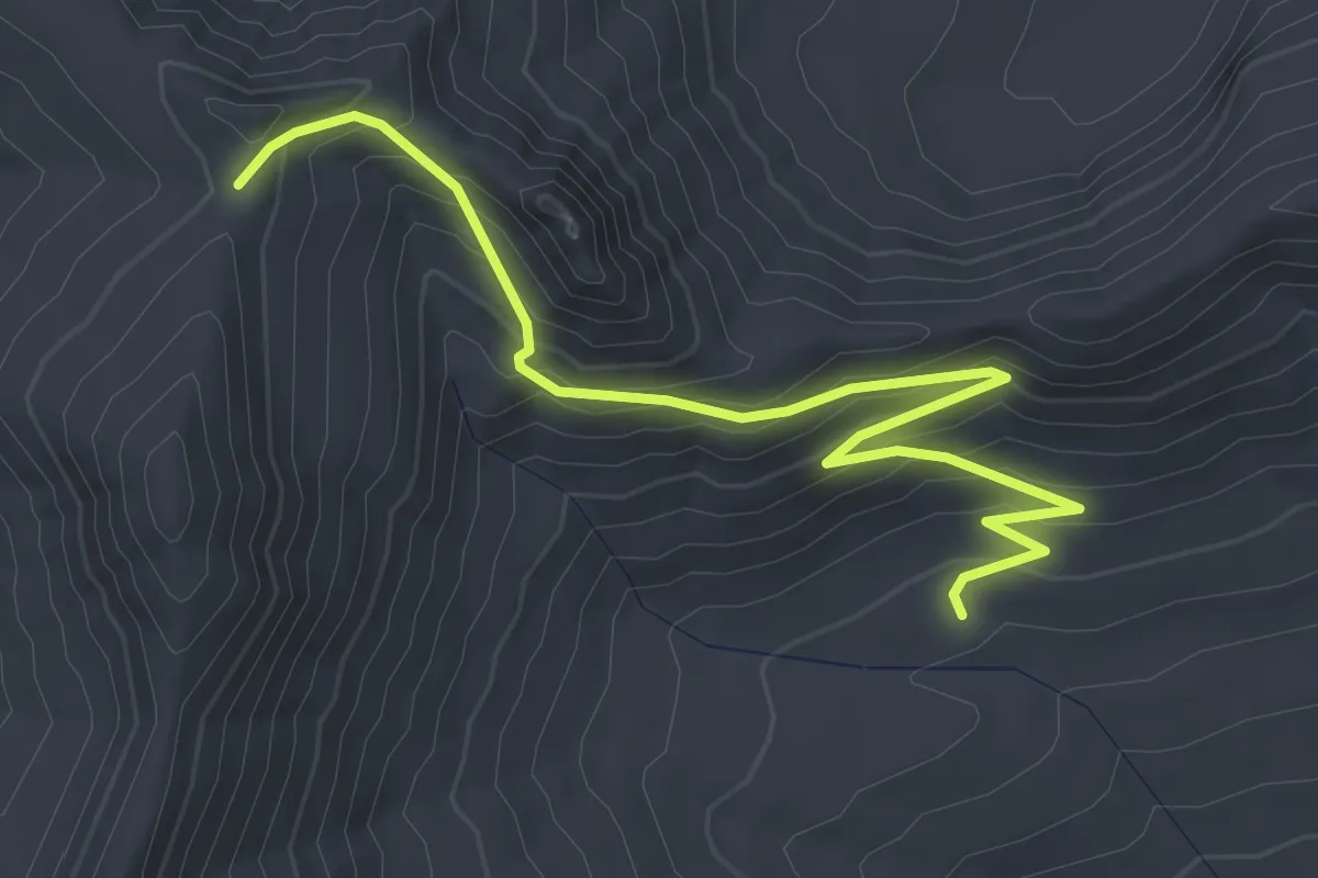
Medium · Trail
Knox Creek Trail
3.9 km · ↑ 347 m · 1 h 40 min
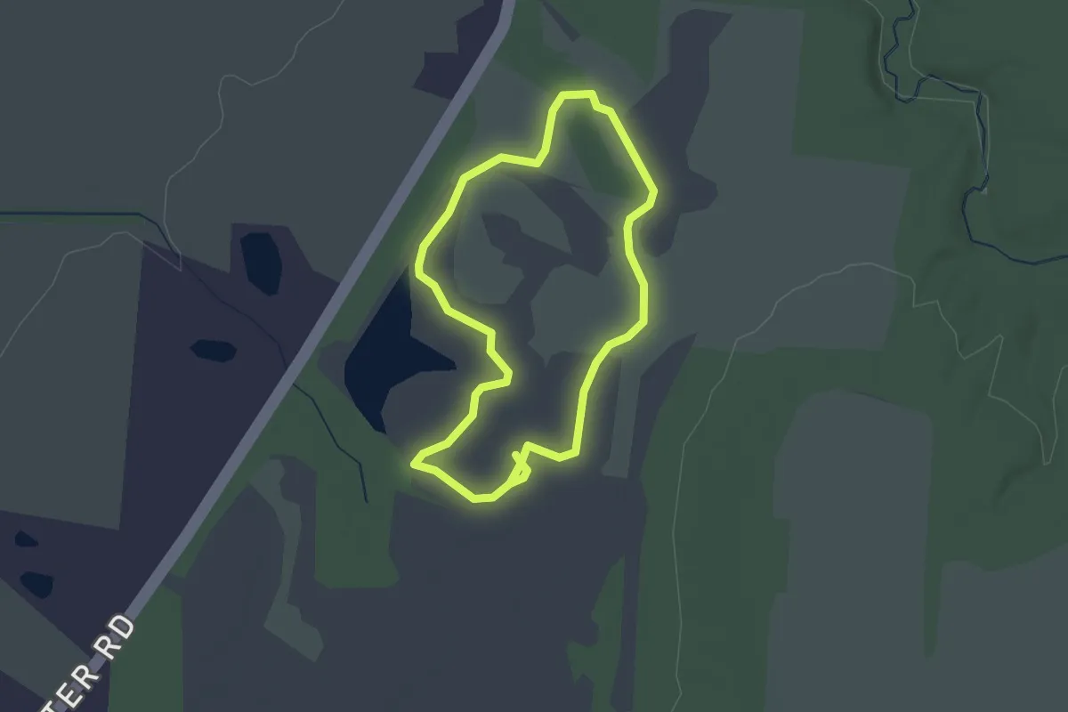
Easy · Trail
Kokomo Wetland Trail
2.1 km · ↑ 0 m · 31 min
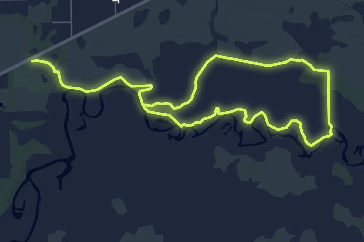
Medium · Trail
Kolokee Trail Loop
13.0 km · ↑ 8 m · 3 h 6 min
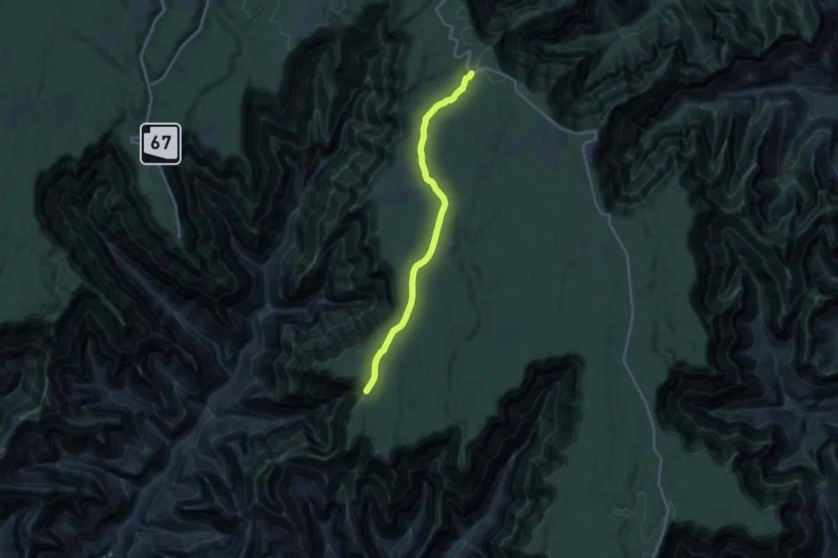
Medium · Trail
Komo Point Trail
16.0 km · ↑ 166 m · 4 h 8 min
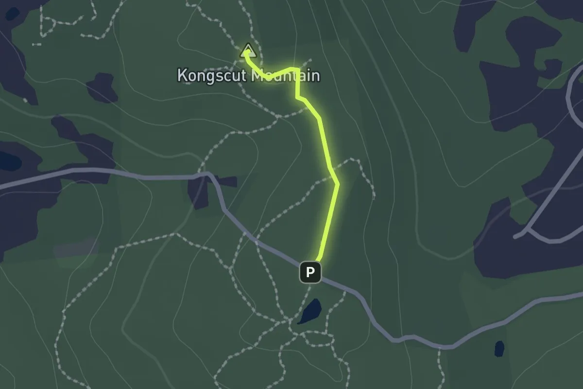
Easy · Summit
Kongscut Mountain Trail
1.3 km · ↑ 20 m · 21 min
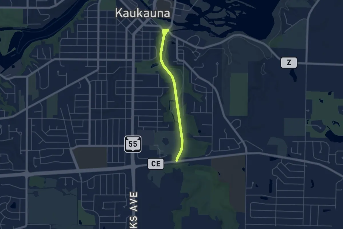
Easy · Trail
Konkapot Creek Trail
4.3 km · ↑ 15 m · 1 h 2 min
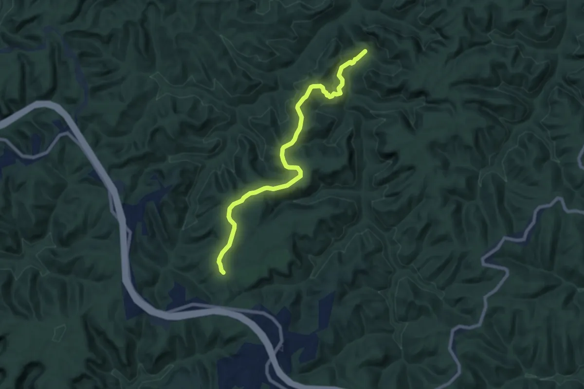
Easy · Trail
Koomer Ridge #220
7.8 km · ↑ 252 m · 2 h 23 min
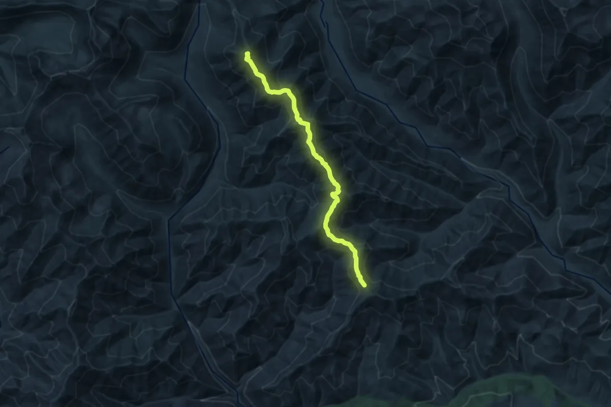
Demanding · Summit
Koppen Mountain Trail
13.2 km · ↑ 968 m · 5 h 13 min
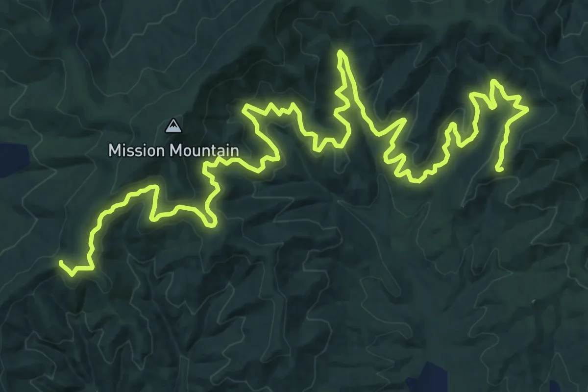
Medium · Trail
Korth Trail
15.5 km · ↑ 420 m · 4 h 43 min
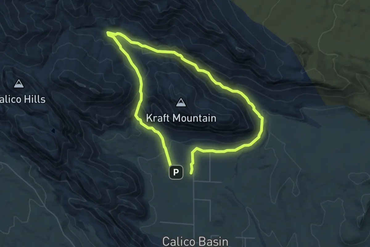
Easy · Trail
Kraft Mountain Loop
5.5 km · ↑ 176 m · 1 h 46 min
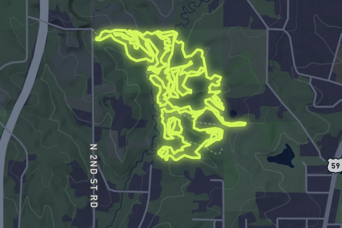
Medium · Trail
Krug Park Trail
10.6 km · ↑ 211 m · 3 h 7 min
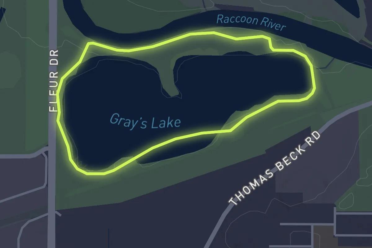
Easy · Trail
Kruidenier Trail
3.1 km · ↑ 0 m · 46 min
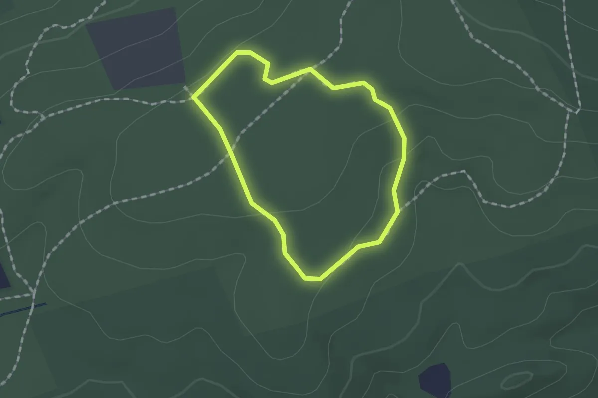
Easy · Trail
Krupa Loop
1.2 km · ↑ 17 m · 20 min
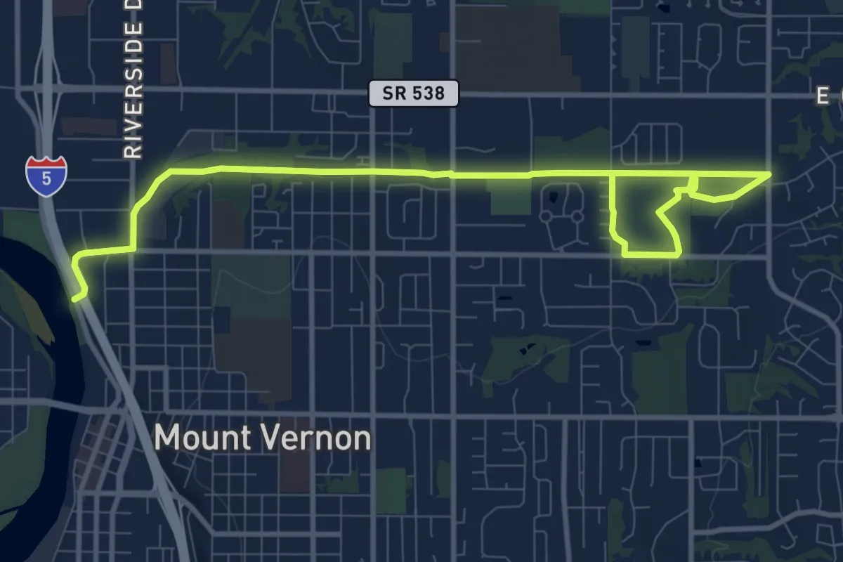
Medium · Trail
Kulshan Trail
11.7 km · ↑ 21 m · 2 h 49 min
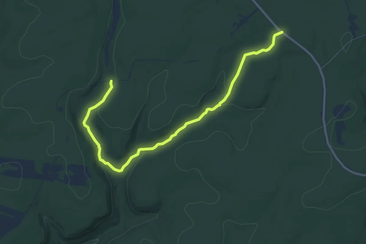
Medium · Trail
Kunes Camp Trail
9.8 km · ↑ 161 m · 2 h 40 min
Easy · Summit
Kuwohi Trail
1.8 km · ↑ 100 m · 39 min
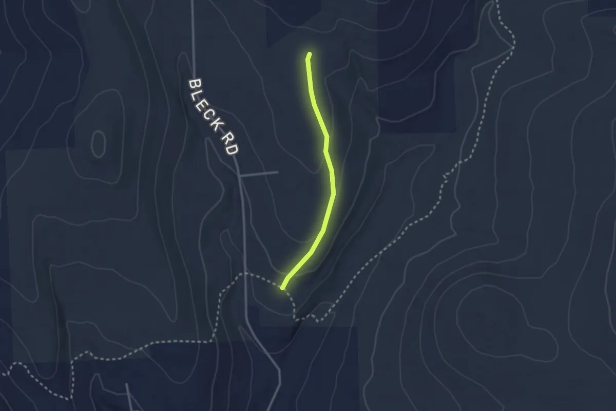
Easy · Trail
Kuzia Cut-off
2.3 km · ↑ 57 m · 39 min
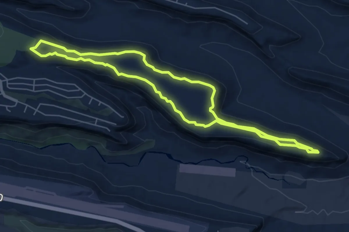
Easy · Trail
Kwage Mesa Loop
6.2 km · ↑ 68 m · 1 h 42 min
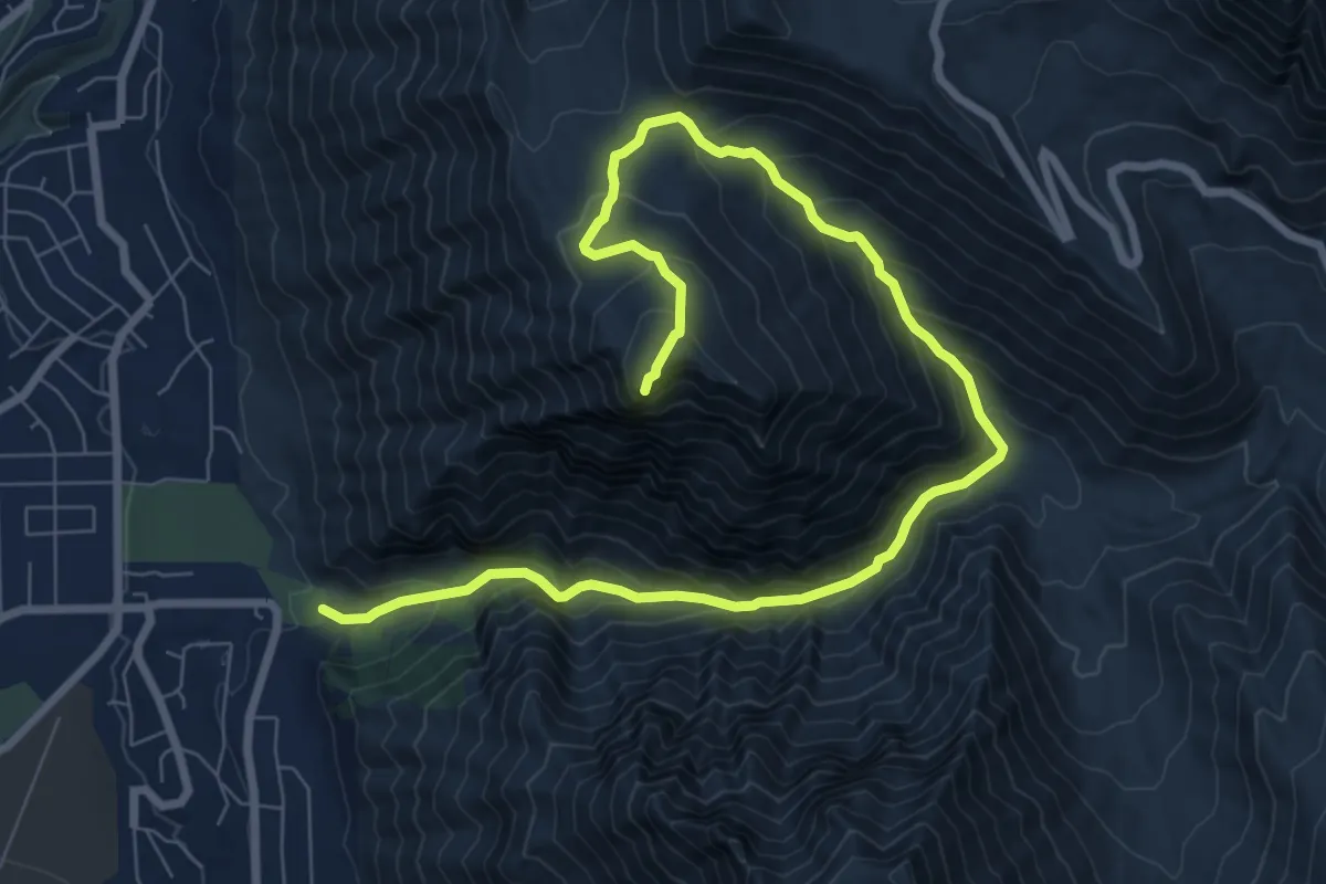
Demanding · Summit
Kyhv Peak
11.4 km · ↑ 879 m · 4 h 36 min
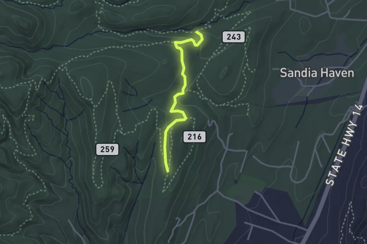
Easy · Trail
La Barba Trail
3.0 km · ↑ 96 m · 56 min
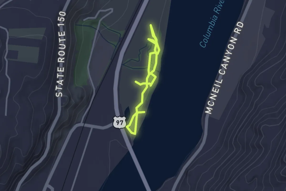
Easy · Trail
LaChappelle Trail
3.4 km · ↑ 14 m · 50 min
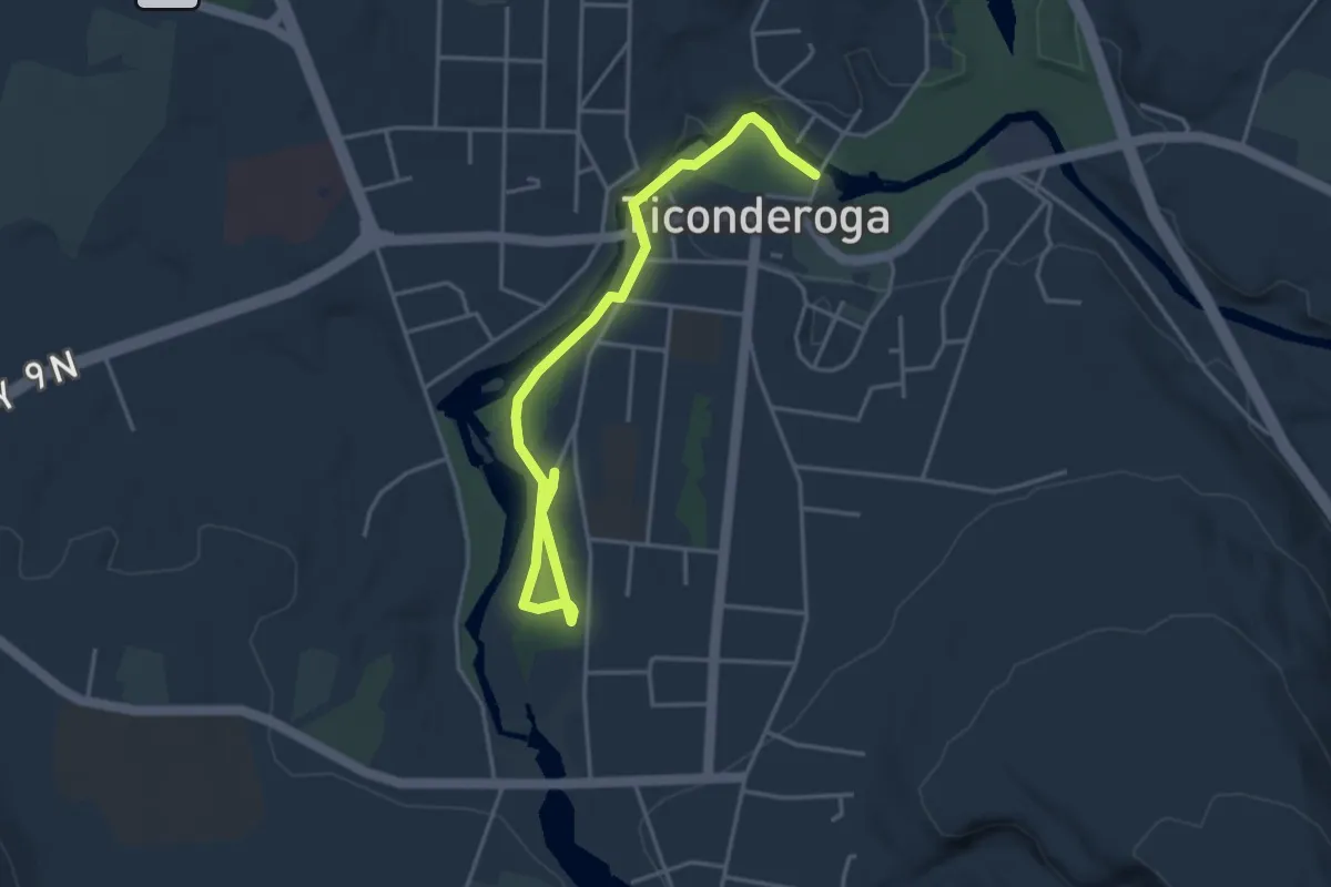
Easy · Trail
LaChute River Walk Interpretive Trail
4.6 km · ↑ 57 m · 1 h 13 min
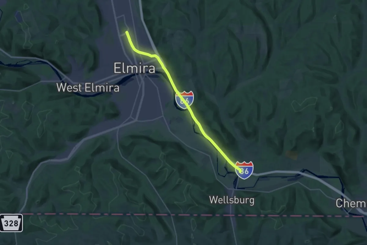
Demanding · Trail
Lackawanna Trail
25.1 km · ↑ 31 m · 5 h 59 min
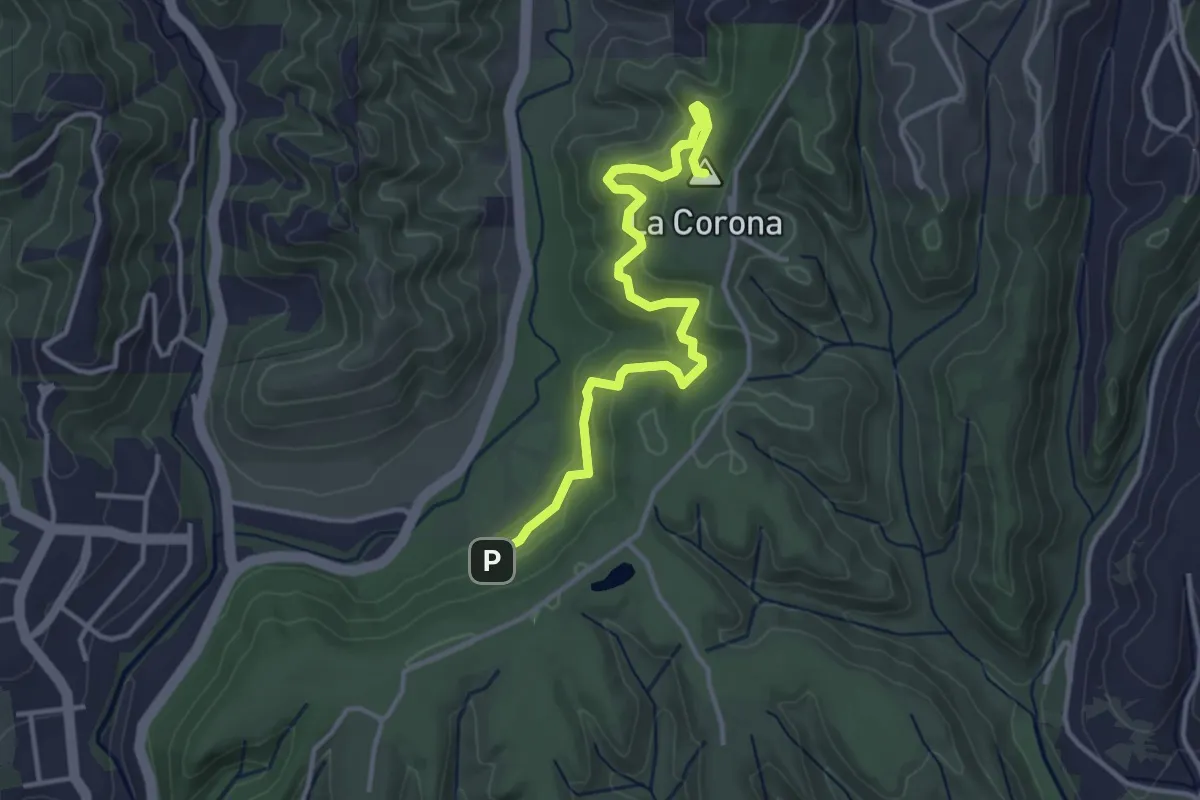
Easy · Summit
La Corona Trail
4.4 km · ↑ 197 m · 1 h 27 min
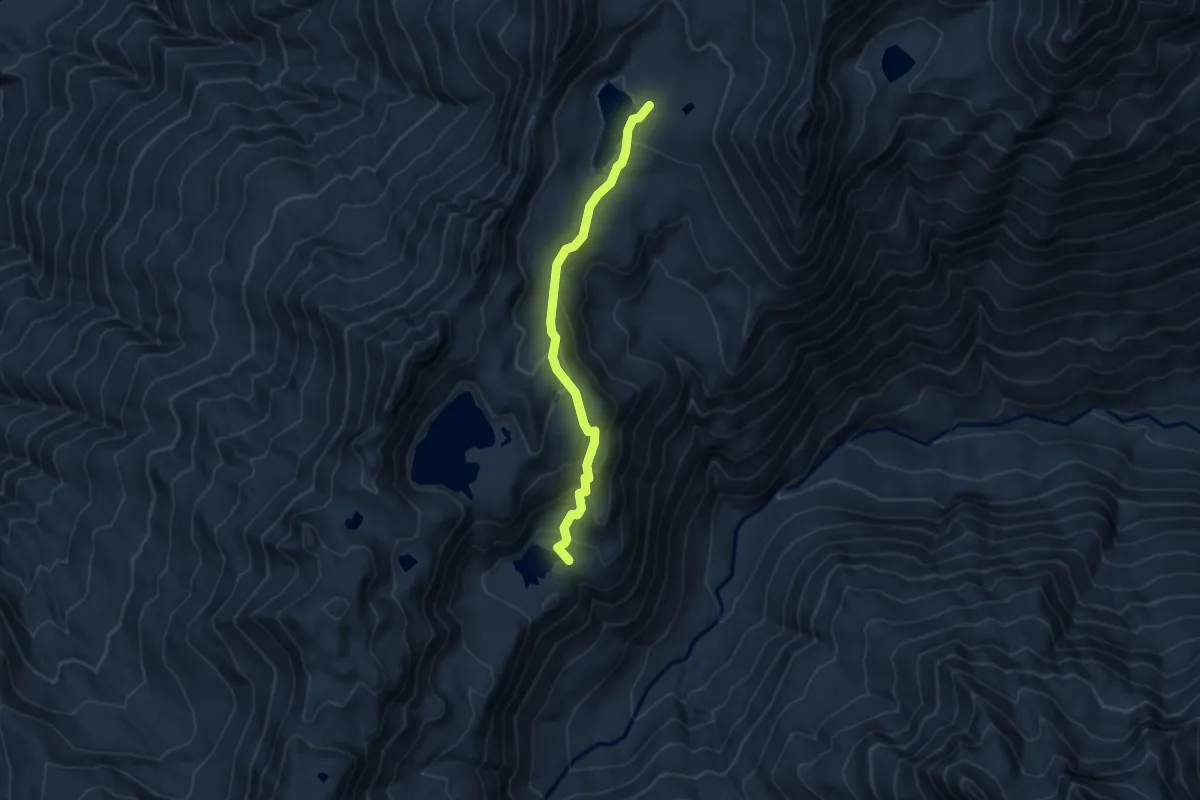
Easy · Trail
LaCrosse Basin Way Trail
4.2 km · ↑ 238 m · 1 h 30 min
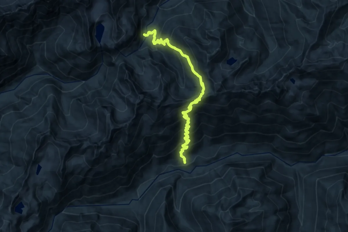
Demanding · Trail
LaCrosse Pass Trail
17.8 km · ↑ 1526 m · 7 h 30 min
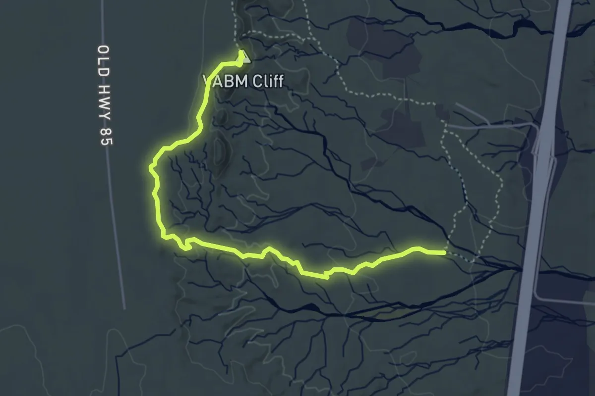
Easy · Summit
Ladrones Vista Trail
5.9 km · ↑ 109 m · 1 h 38 min
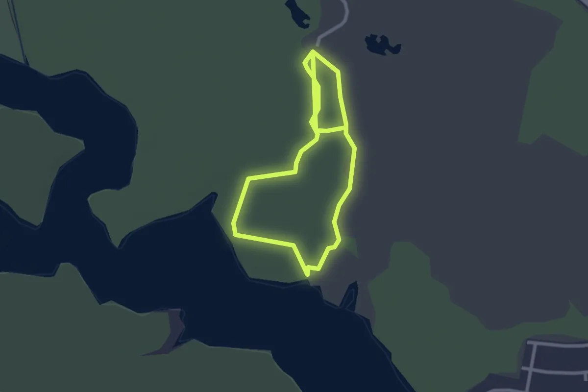
Easy · Trail
Lady Bird Trail
5.4 km · ↑ 0 m · 1 h 16 min
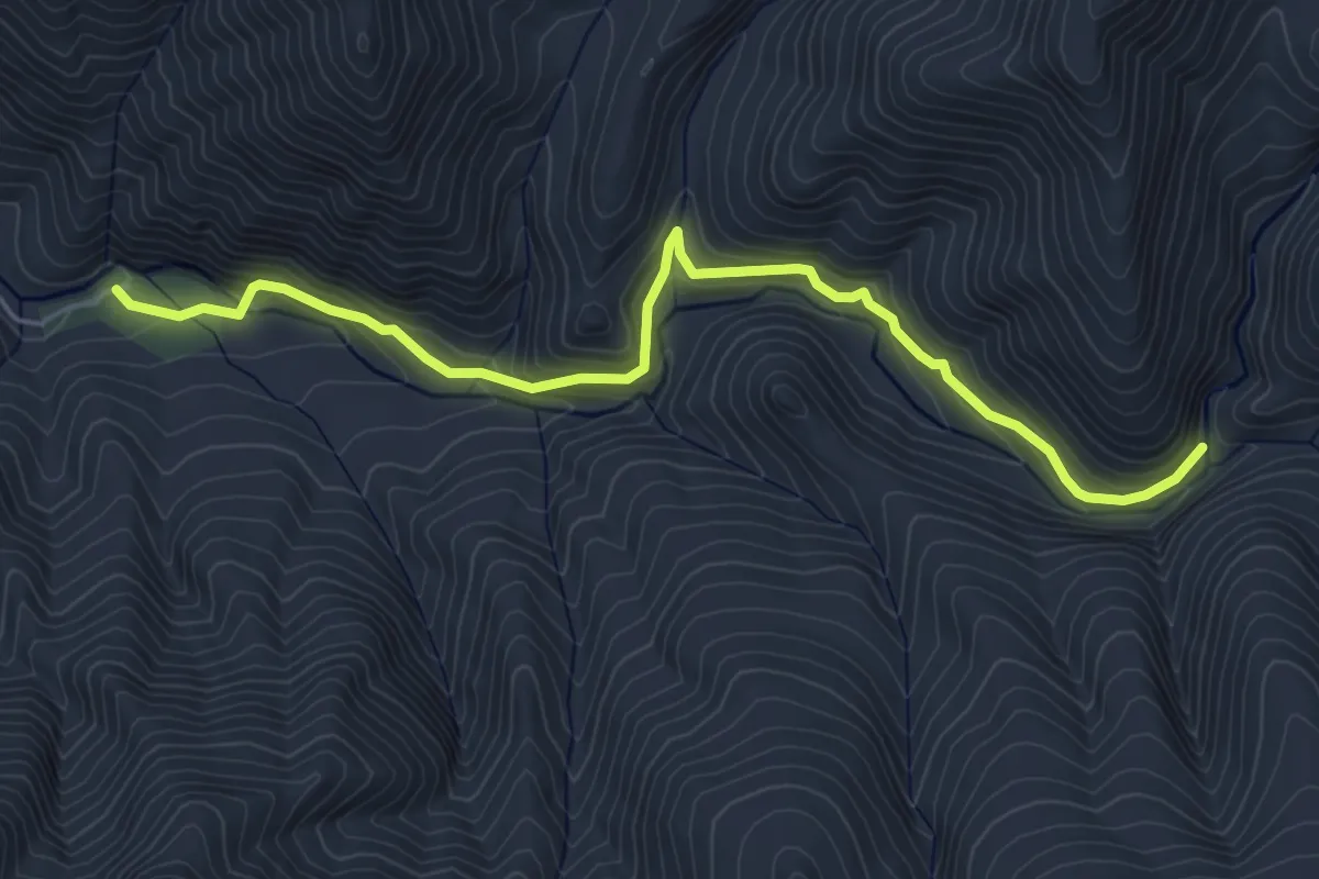
Medium · Trail
Ladybug Trail
6.4 km · ↑ 354 m · 2 h 17 min
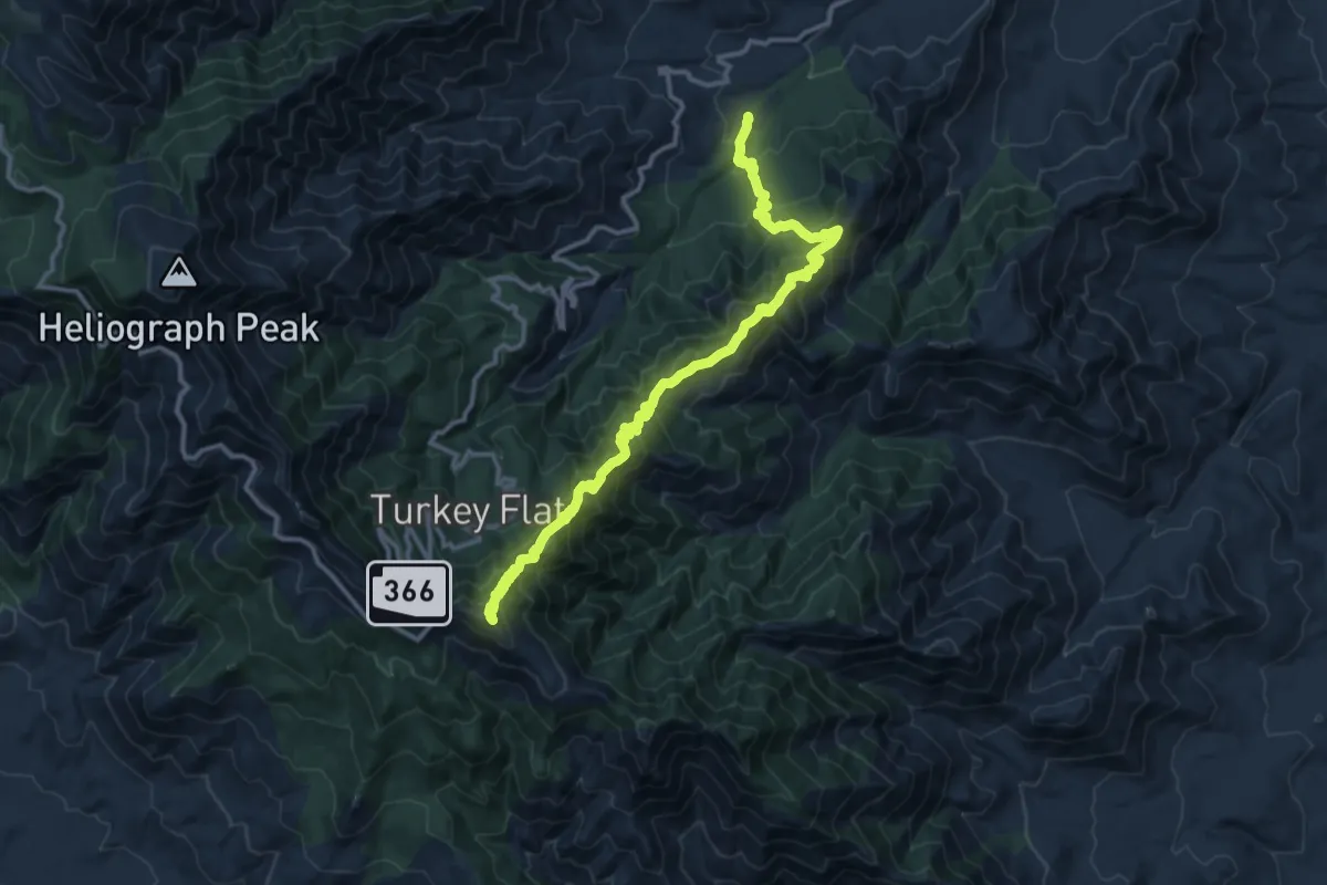
Demanding · Summit
Ladybug Trail #329
17.0 km · ↑ 1385 m · 7 h 1 min
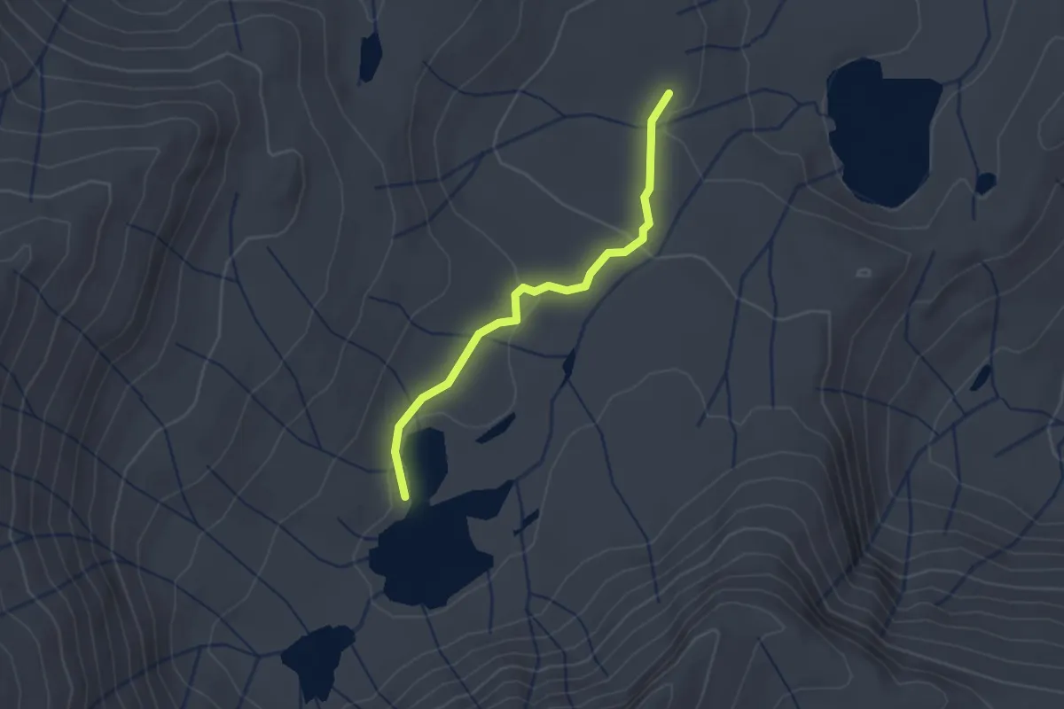
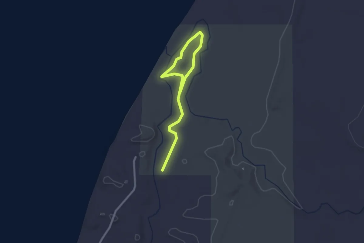
Easy · Trail
Lady Lake Trail
2.1 km · ↑ 43 m · 35 min
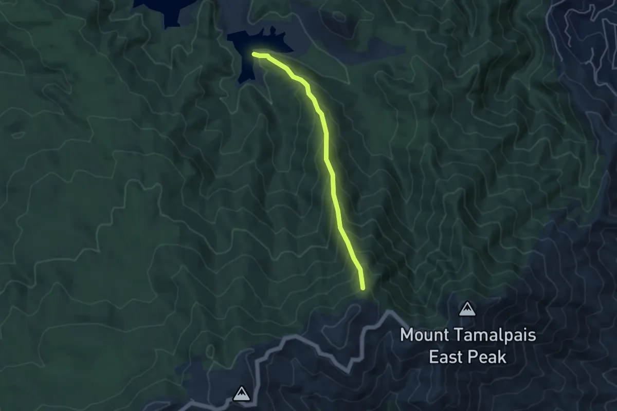
Easy · Trail
Lagoon Trail
1.3 km · ↑ 0 m · 20 min
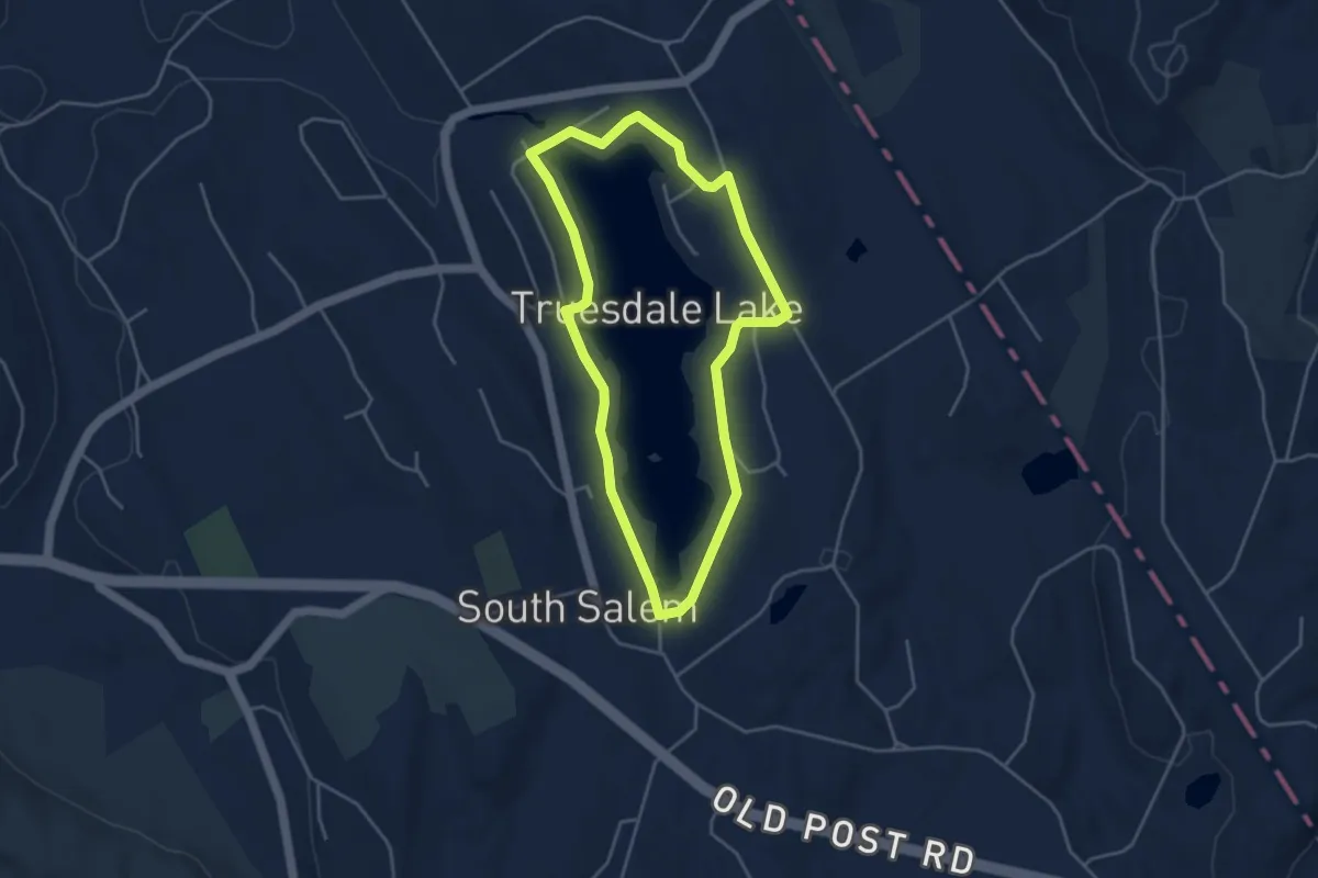
Medium · Trail
Lagunitas Fire Trail
4.1 km · ↑ 458 m · 1 h 58 min
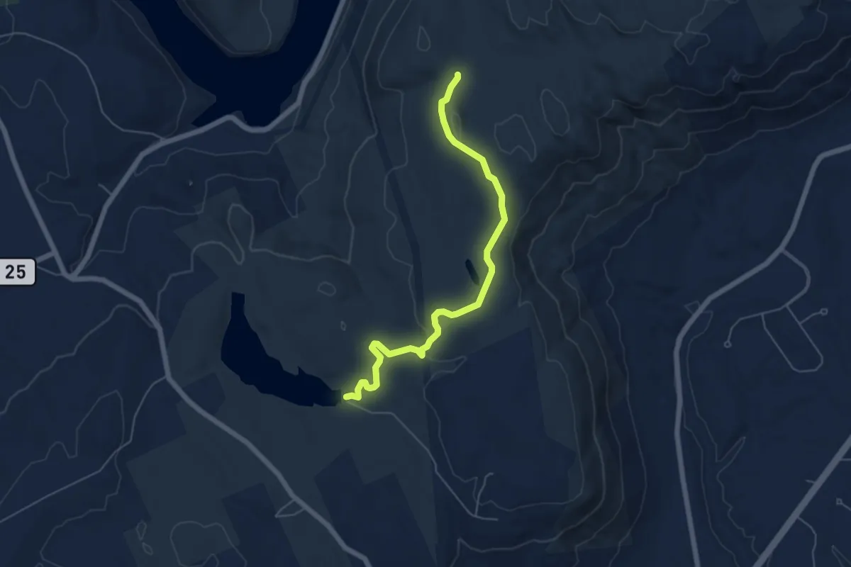
Easy · Trail
Lake 2.5 mile Loop
4.3 km · ↑ 44 m · 1 h 10 min
Easy · Trail
Lake Ann Trail
6.0 km · ↑ 97 m · 1 h 38 min
Demanding · Trail
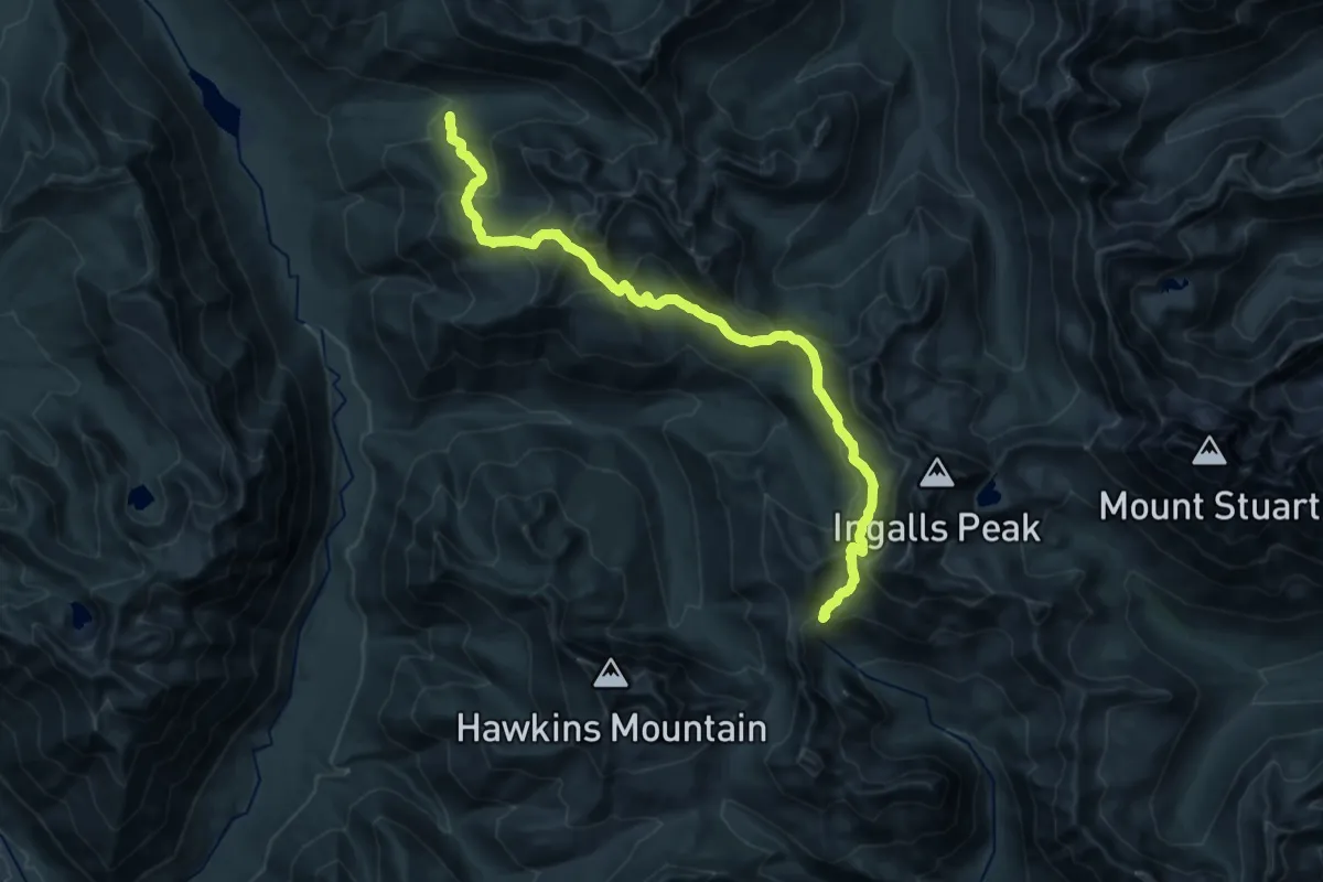
Lake Ann Trail
11.1 km · ↑ 888 m · 4 h 31 min
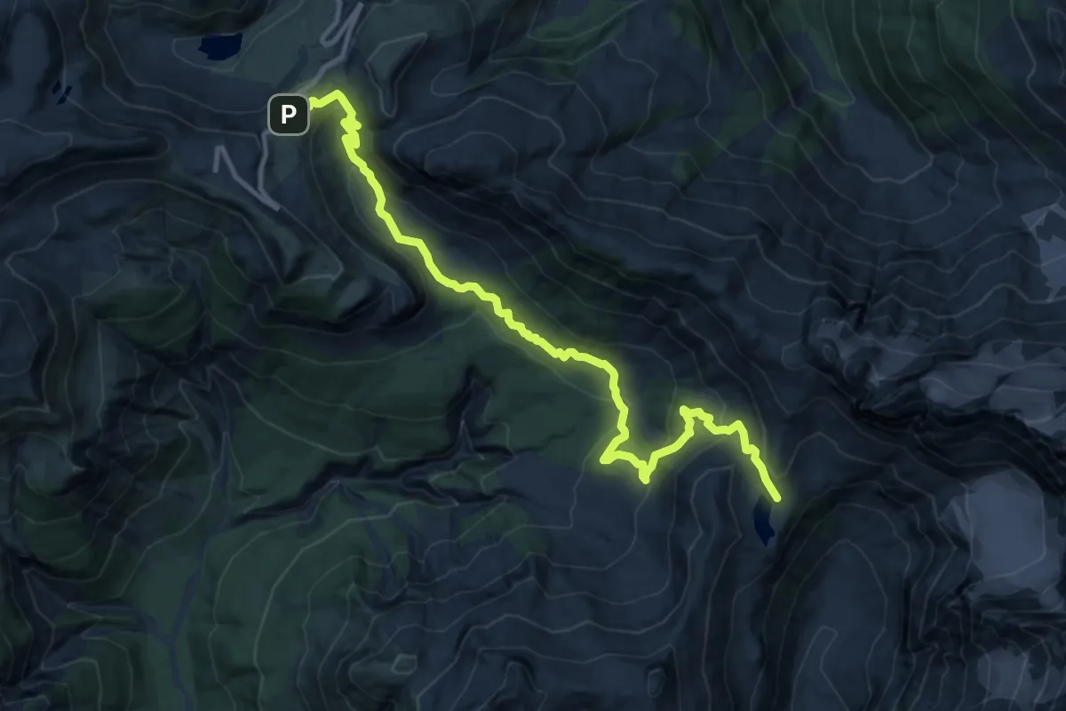
Medium · Trail
Lake Ann Trail
12.7 km · ↑ 646 m · 4 h 24 min
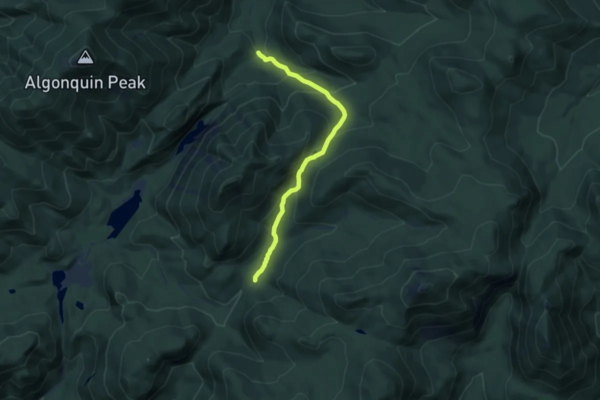
Medium · Trail
Lake Arnold Trail
9.4 km · ↑ 527 m · 3 h 21 min
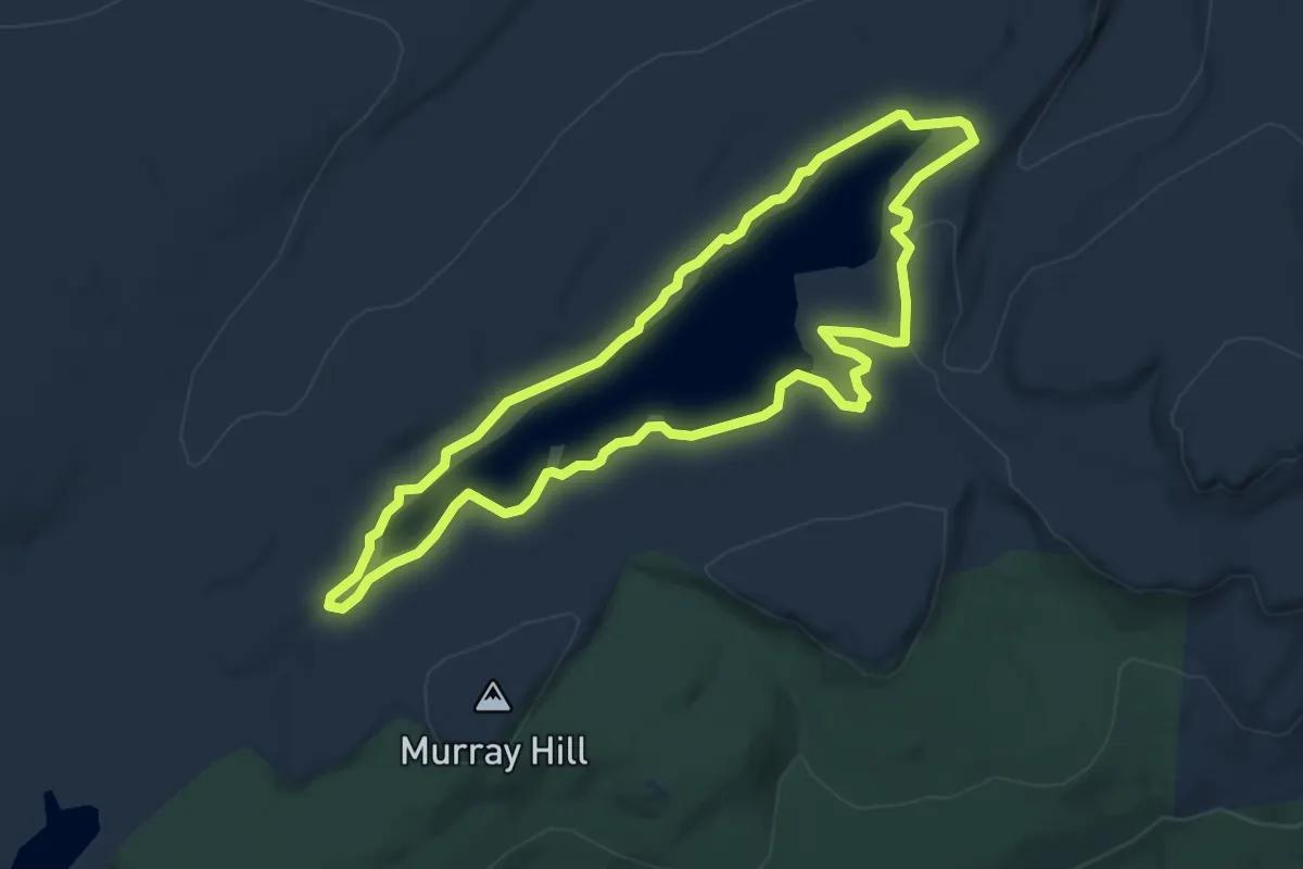
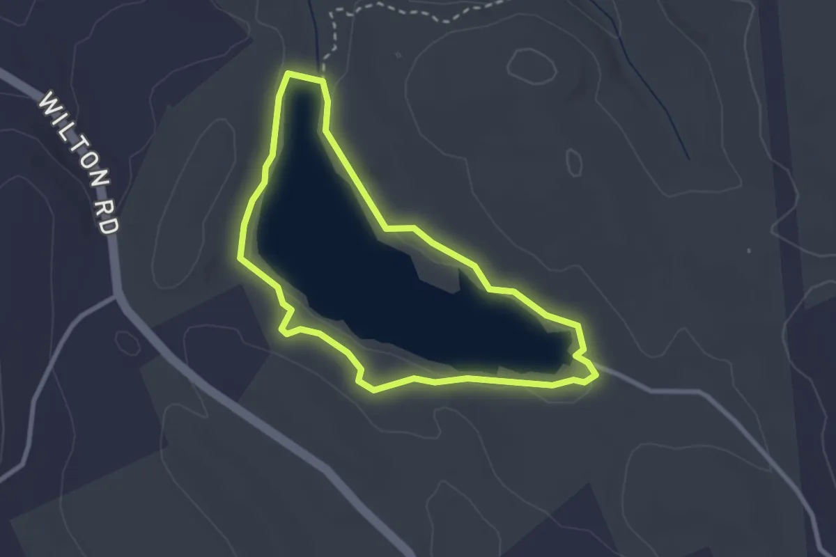
Easy · Trail
Lake Awosting Carriageway
5.5 km · ↑ 52 m · 1 h 29 min
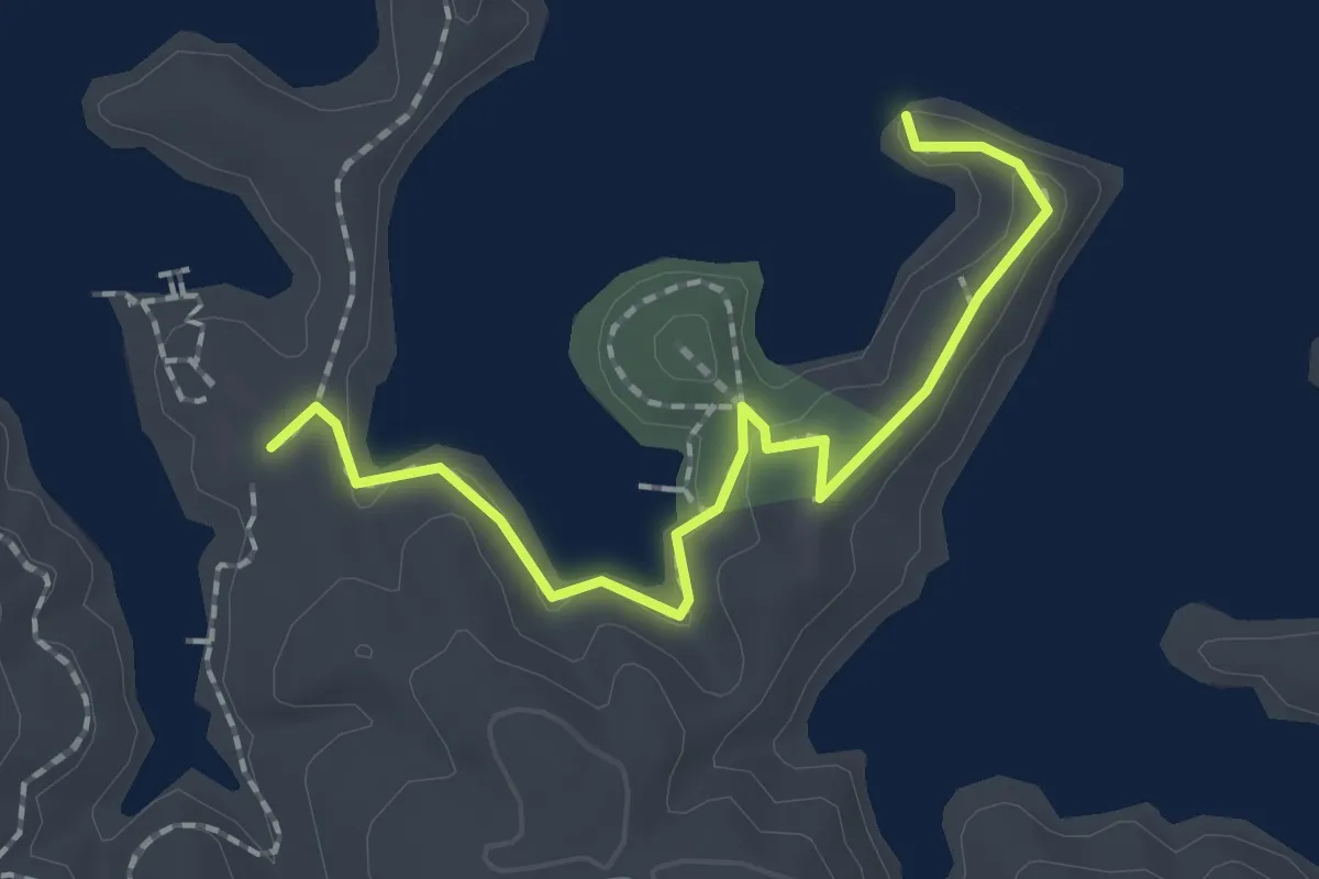
Easy · Trail
Lake Bonita Loop
2.6 km · ↑ 26 m · 42 min
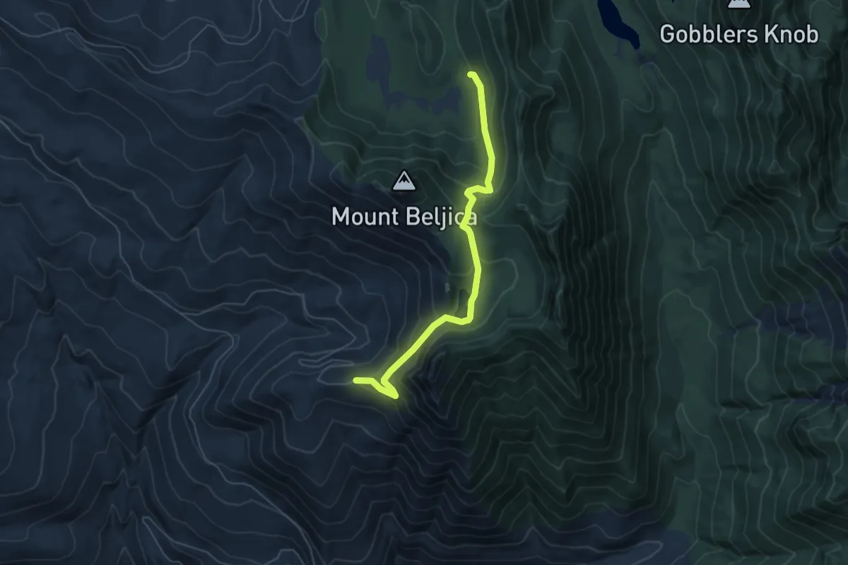
Medium · Trail
Lake Channel Overlook Trail
2.3 km · ↑ 43 m · 38 min
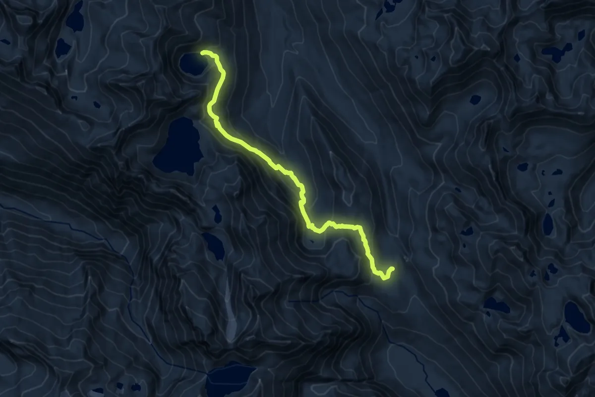
Medium · Trail
Lake Christine Trail #249
5.5 km · ↑ 378 m · 2 h 7 min
Medium · Trail
Lake Clarice Trail
13.2 km · ↑ 634 m · 4 h 29 min
Medium · Trail
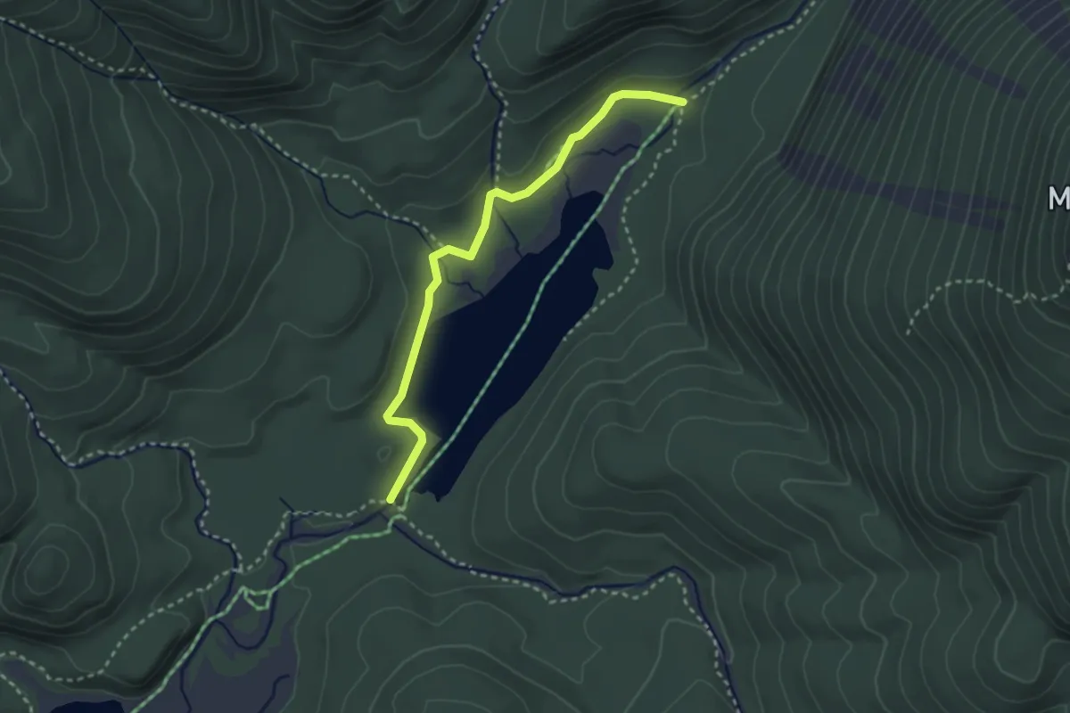
Lake Colden Trail
3.0 km · ↑ 0 m · 42 min
Demanding · Trail
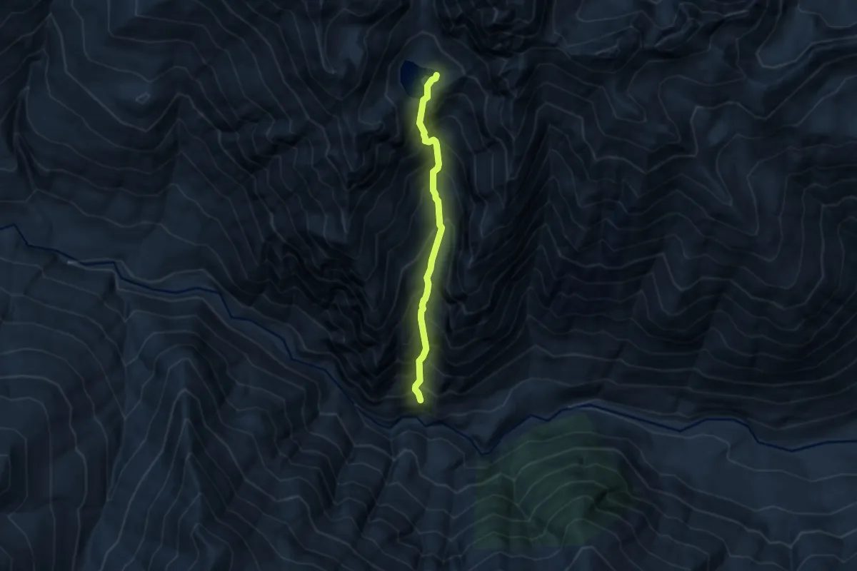
Lake Constance Route
5.2 km · ↑ 1012 m · 3 h 25 min
Demanding · Trail
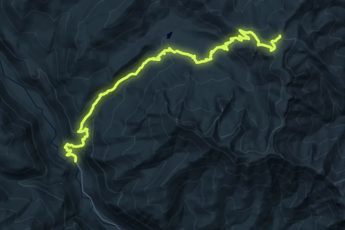
Lake Creek Trail
16.3 km · ↑ 1428 m · 6 h 31 min