Trails in United States
10,367 hiking trails, each with its route, climb, walking time and grade.
All trails, page 105 of 216
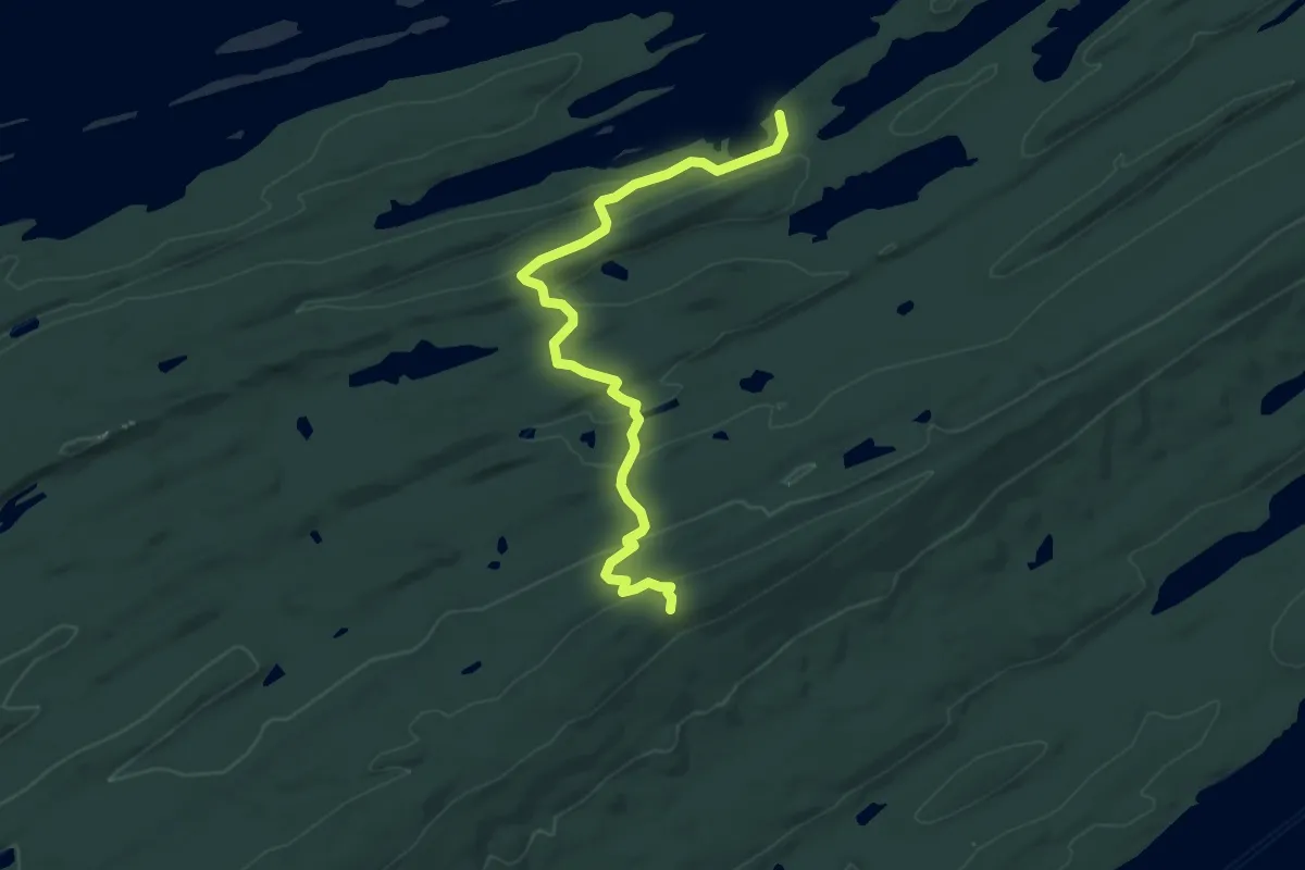
Easy · Trail
Lane Cove Trail
7.1 km · ↑ 201 m · 2 h 6 min
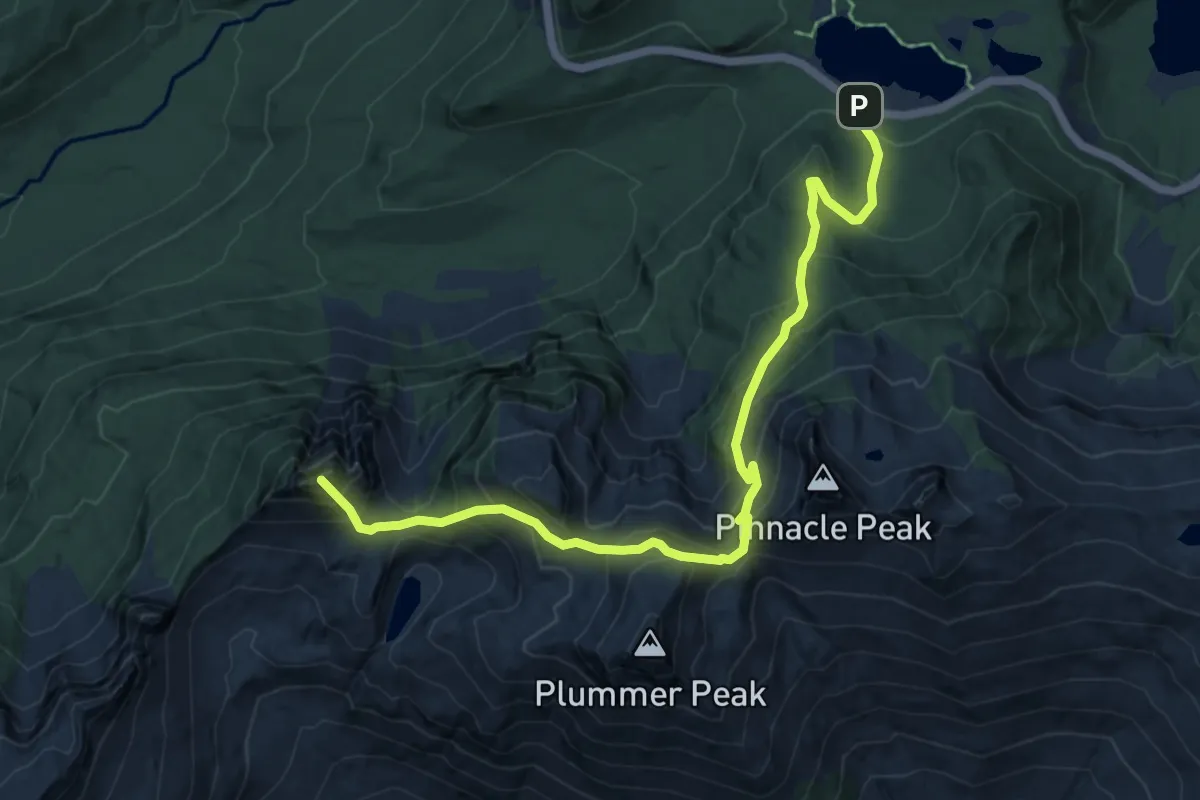
Medium · Summit
Lane Peak
6.8 km · ↑ 694 m · 3 h 6 min
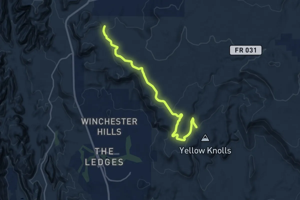
Medium · Trail
Lange's Dugway
15.4 km · ↑ 266 m · 4 h 13 min
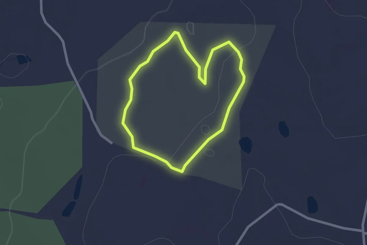
Easy · Trail
Langhammer Trail
1.8 km · ↑ 26 m · 31 min
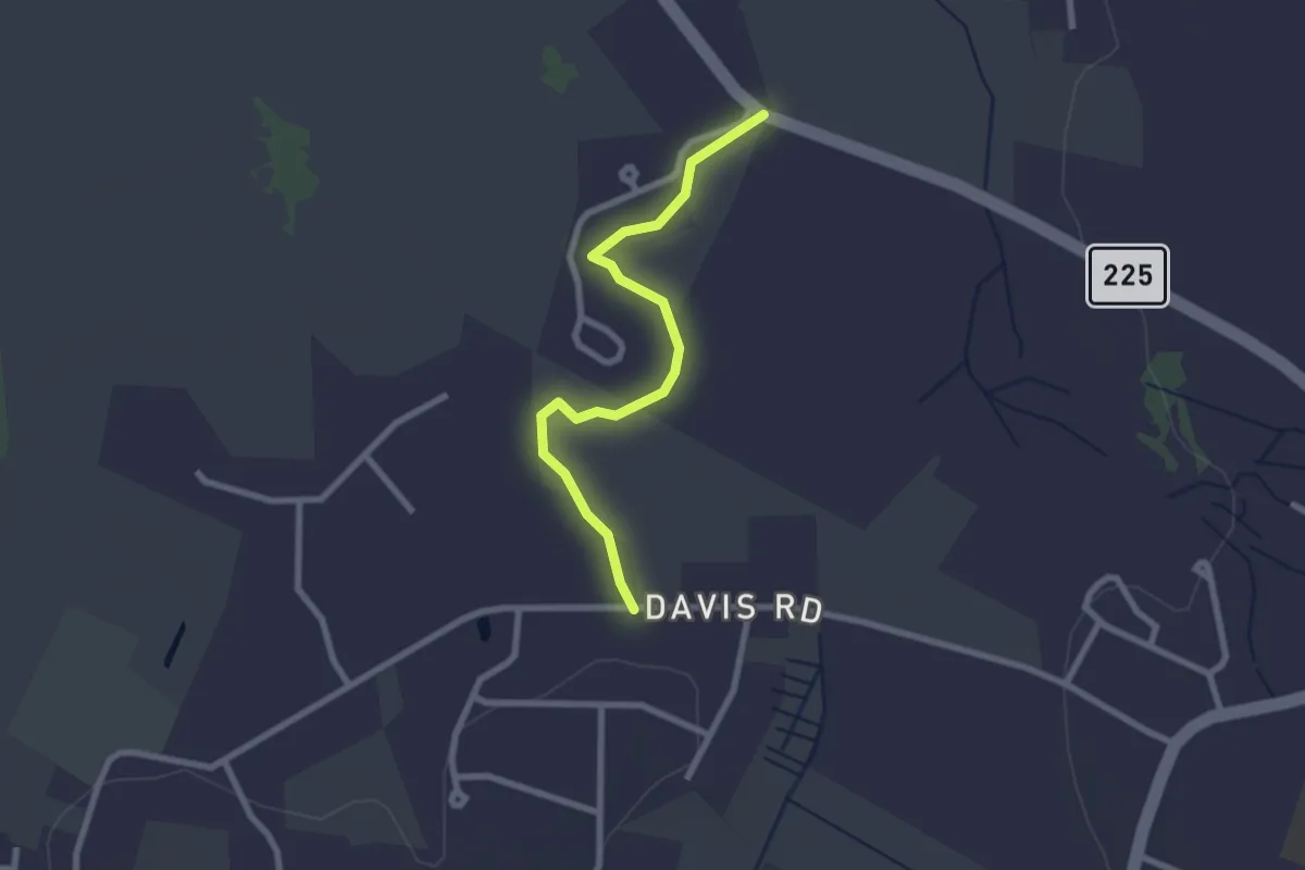
Easy · Trail
Langone-Pine Grove Farm Trail
2.6 km · ↑ 0 m · 37 min
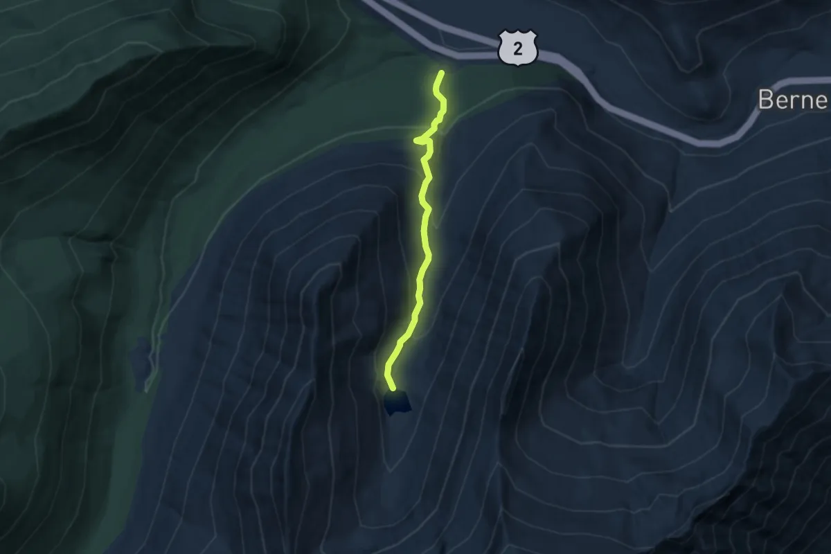
Medium · Trail
Lanham Lake Trail
5.3 km · ↑ 369 m · 2 h 2 min
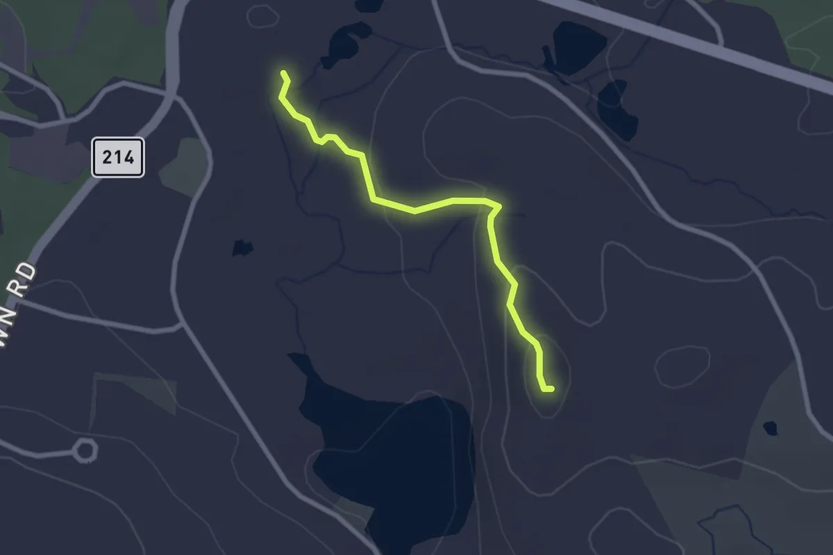
Easy · Summit
Lantern Hill Trail
2.3 km · ↑ 106 m · 47 min
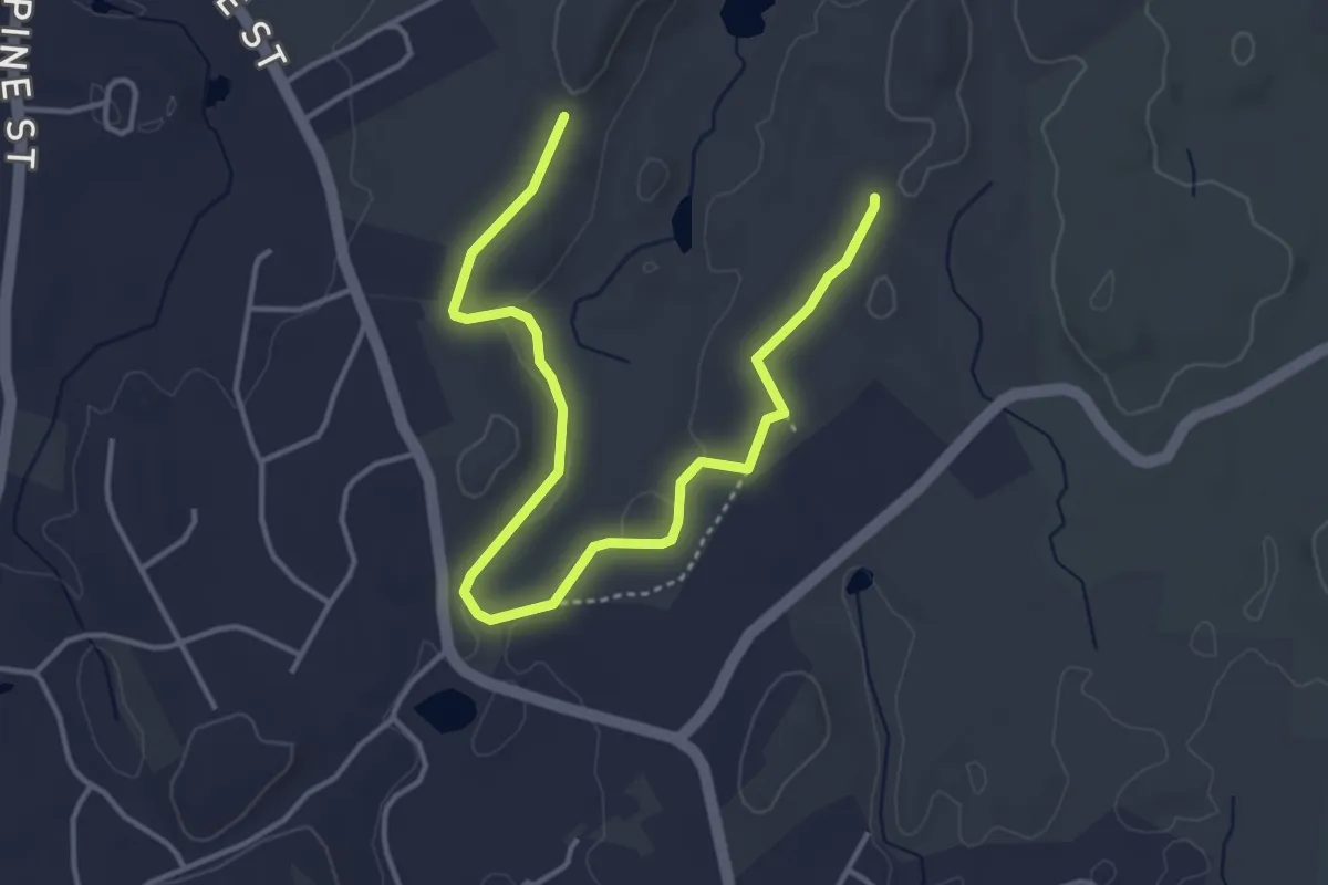
Easy · Trail
Larabee Trail (Orange Blaze)
5.3 km · ↑ 51 m · 1 h 21 min
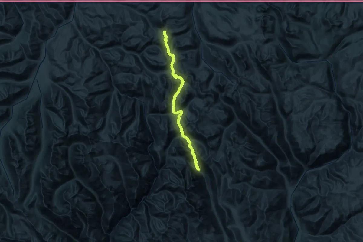
Demanding · Trail
Larch Creek, Billy Goat Pass Trail
28.0 km · ↑ 1534 m · 10 h
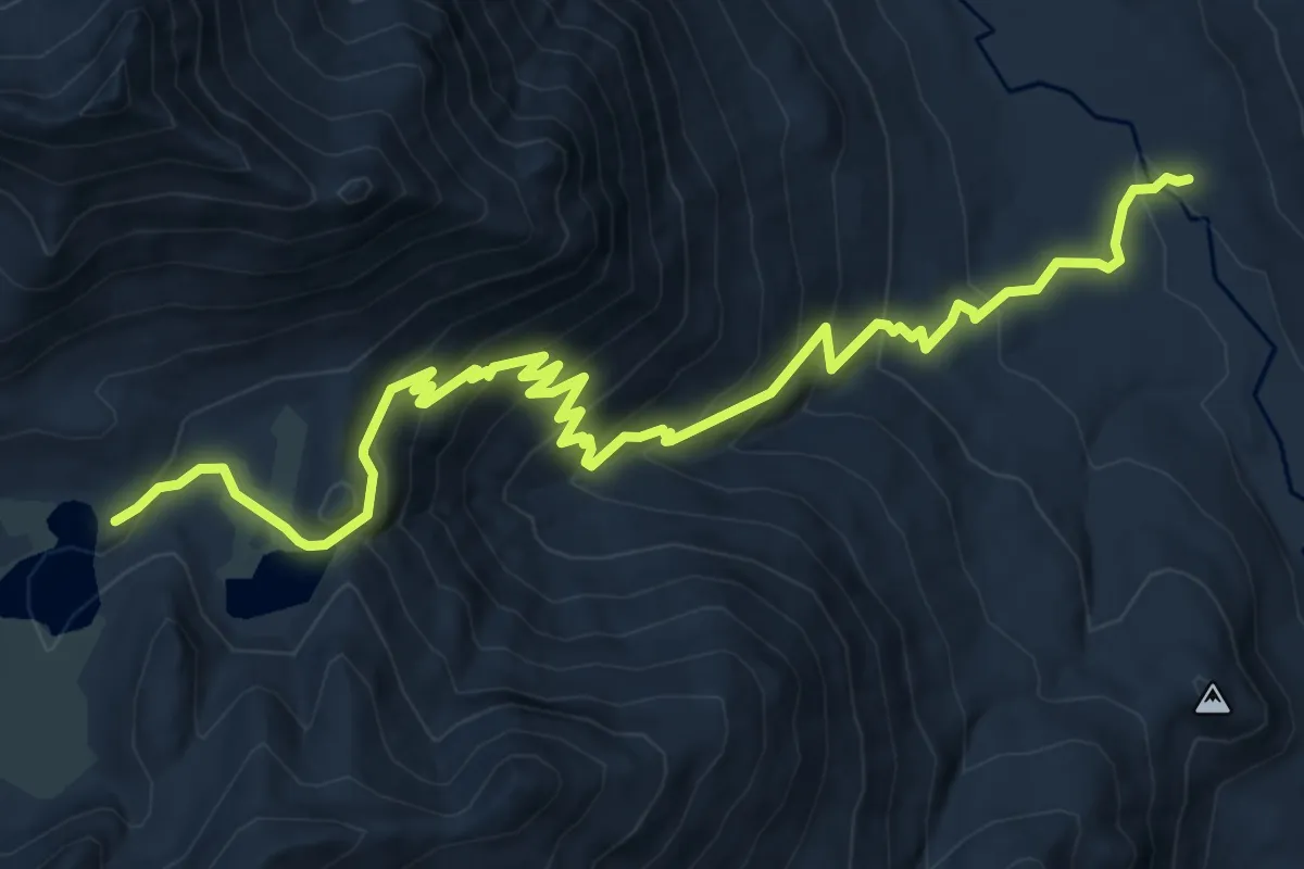
Medium · Trail
Larch Lakes Trail
8.2 km · ↑ 621 m · 3 h 17 min
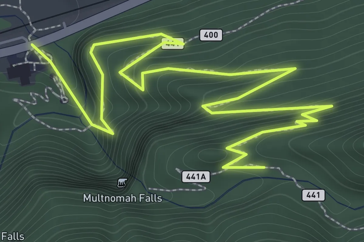
Easy · Trail
Larch Mountain Trail
3.1 km · ↑ 294 m · 1 h 22 min
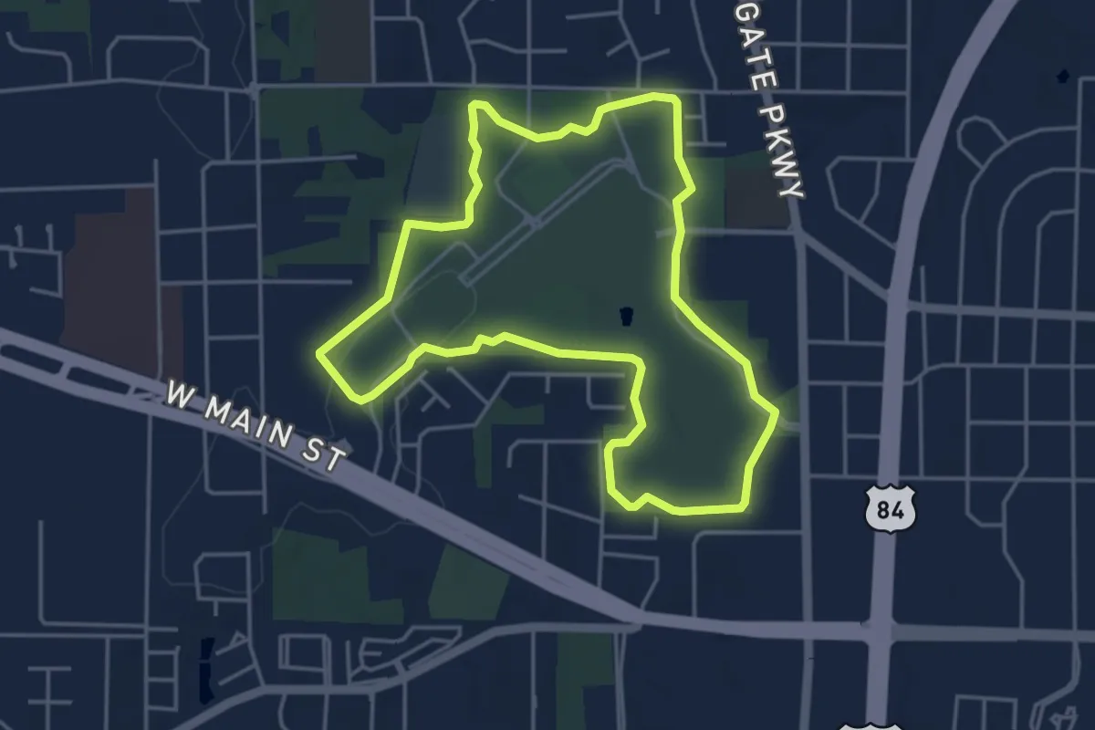
Easy · Trail
Larry and Ronna Dykes Trail
5.2 km · ↑ 24 m · 1 h 21 min
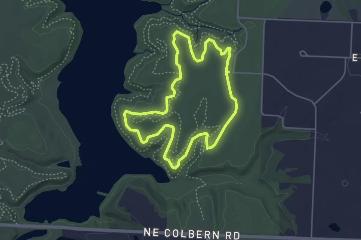
Easy · Trail
Larry Mattonen Memorial Trail
4.0 km · ↑ 26 m · 1 h 4 min
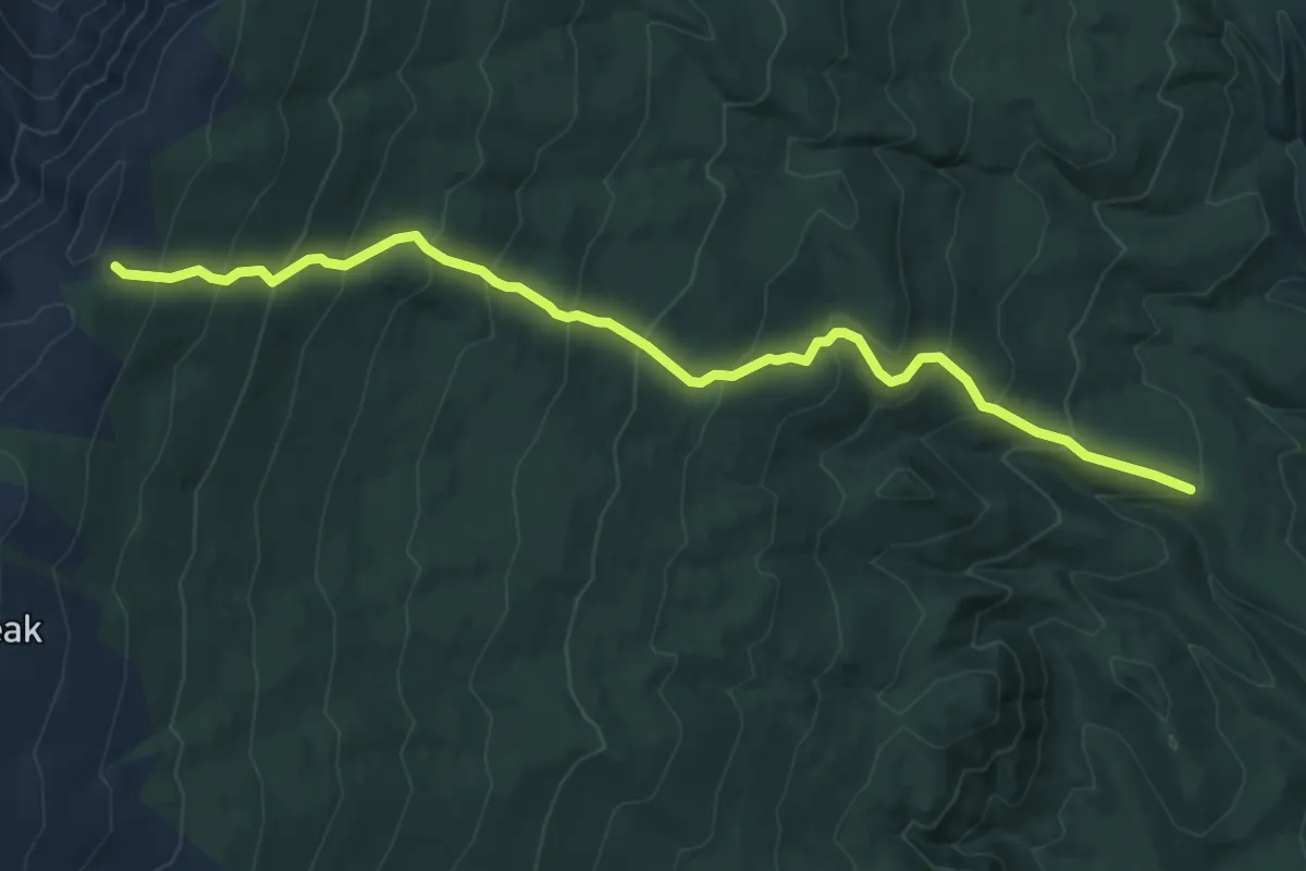
Demanding · Trail
Larry's Trail
7.6 km · ↑ 679 m · 3 h 16 min
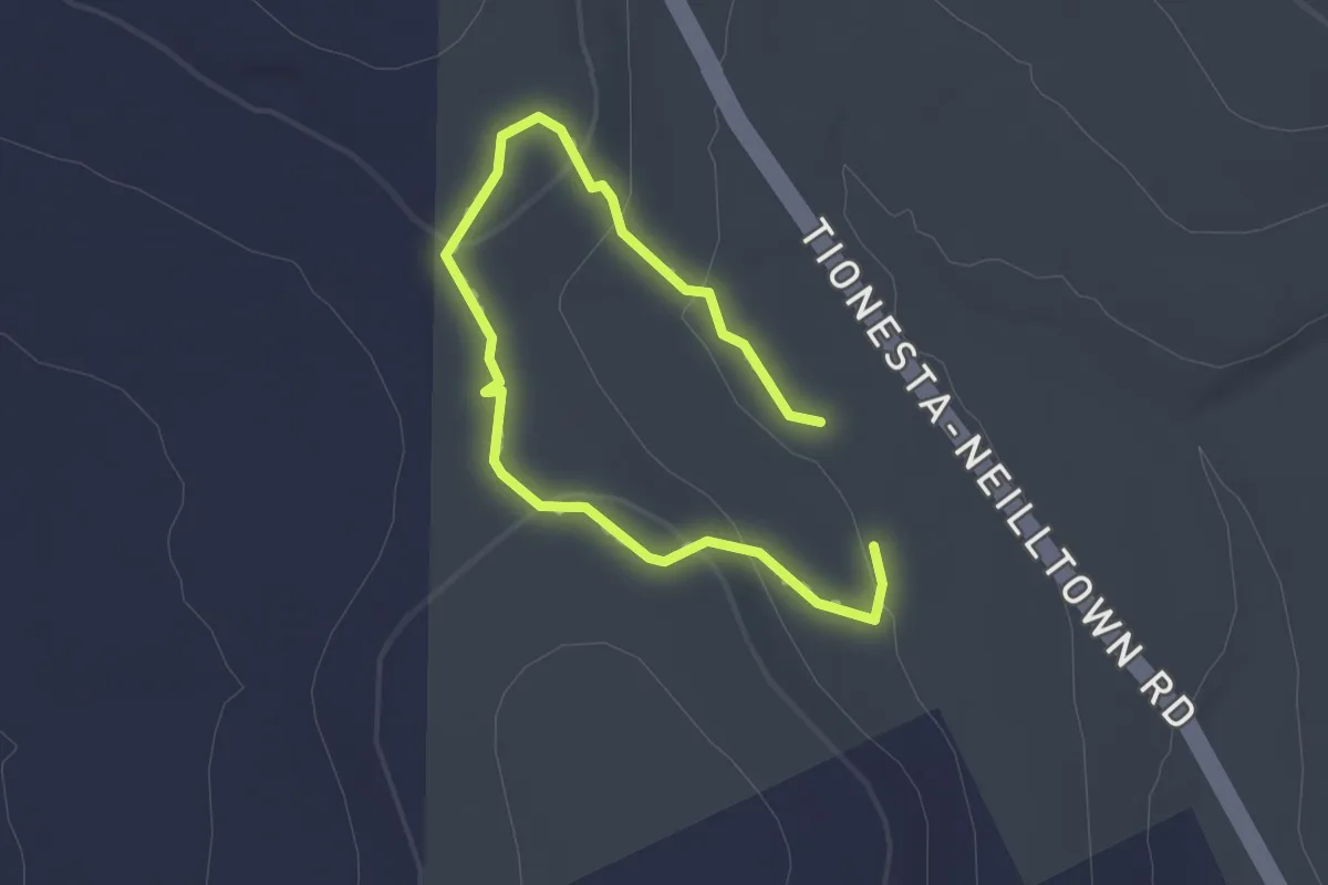
Easy · Trail
Lashure Trail
1.2 km · ↑ 27 m · 21 min
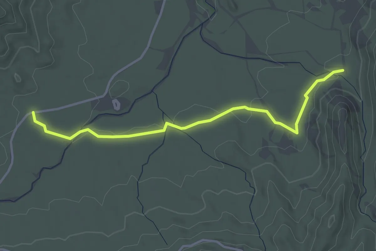
Easy · Trail
Las Lomitas Trail
4.0 km · ↑ 53 m · 1 h 4 min
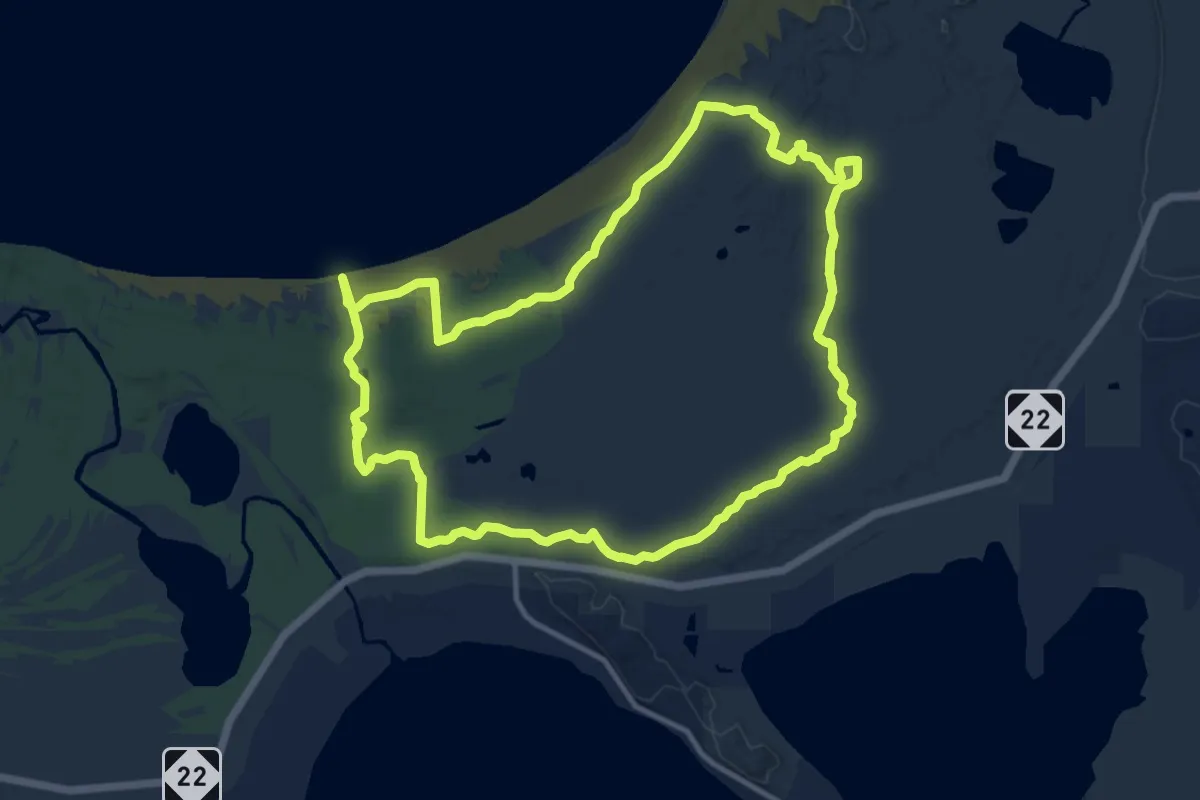
Medium · Trail
Lasso Loop (Platte Plains)
17.5 km · ↑ 39 m · 4 h 28 min
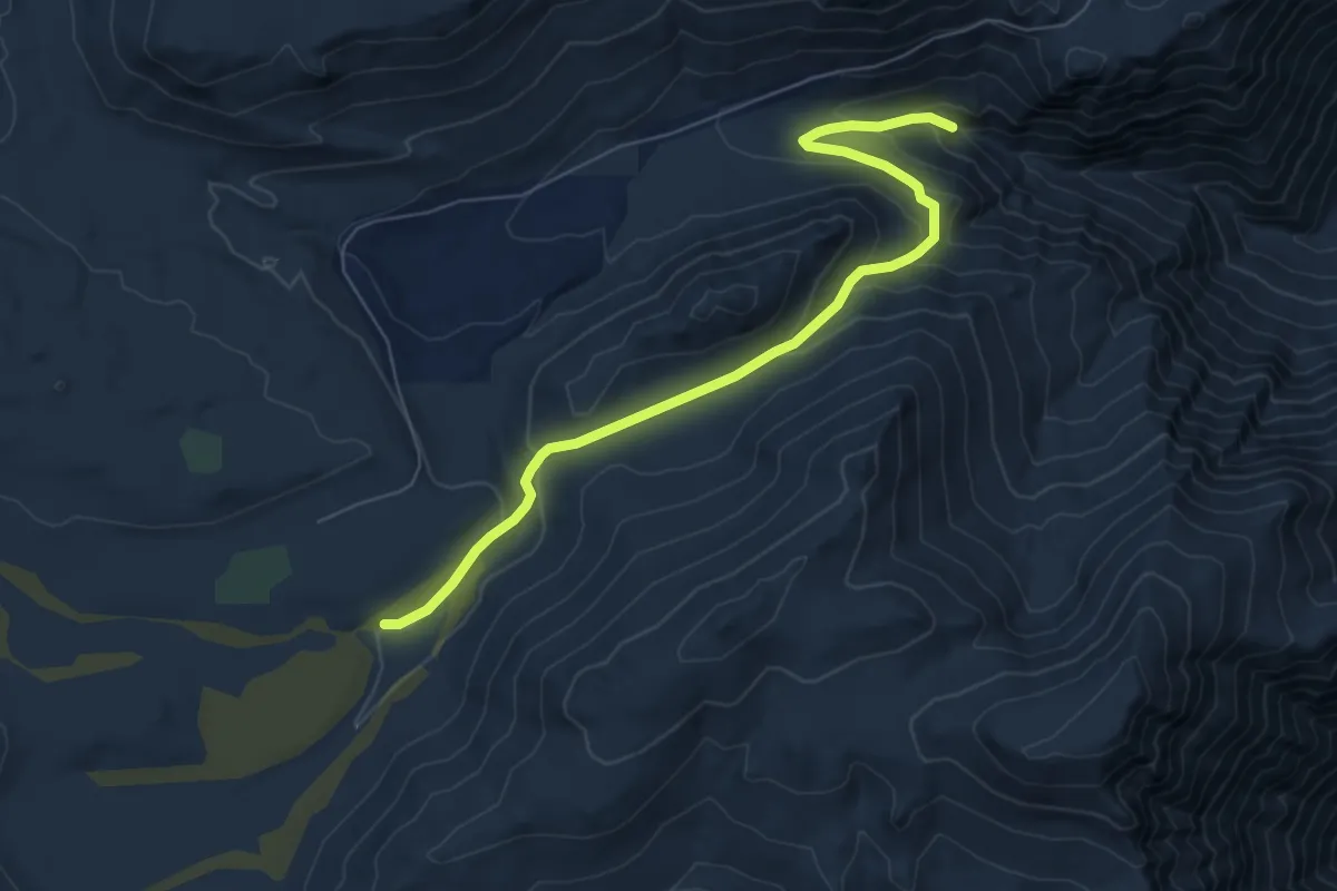
Medium · Trail
Last Chance Trail
8.2 km · ↑ 402 m · 2 h 48 min
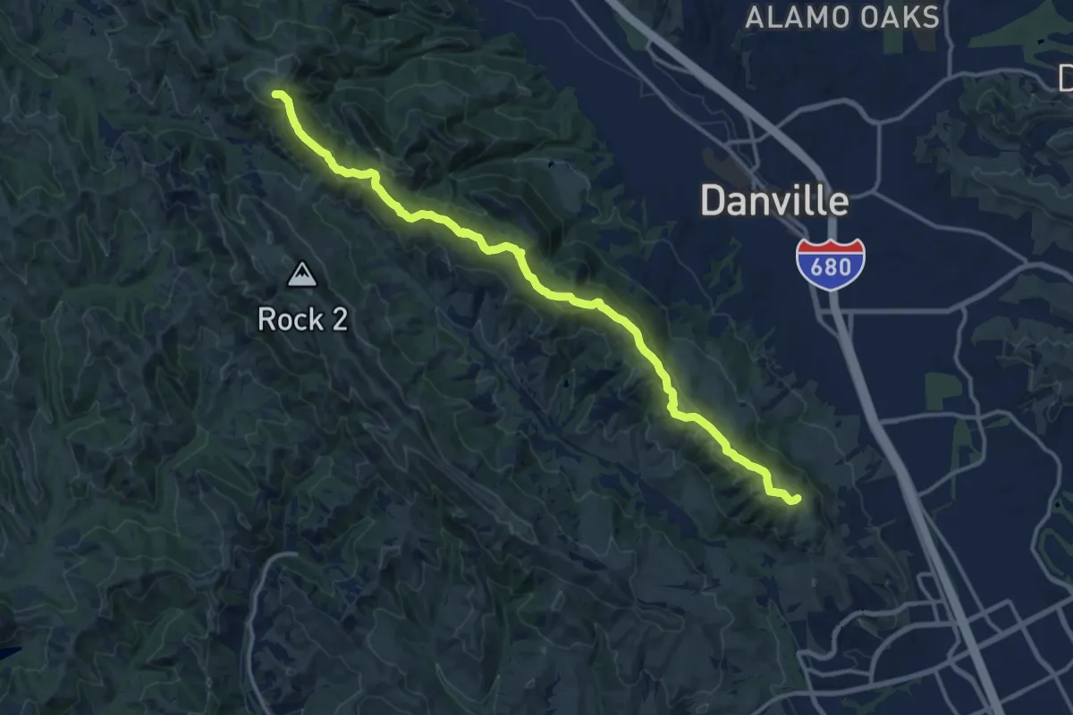
Medium · Summit
Las Trampas Ridge Trail
17.0 km · ↑ 681 m · 5 h 30 min
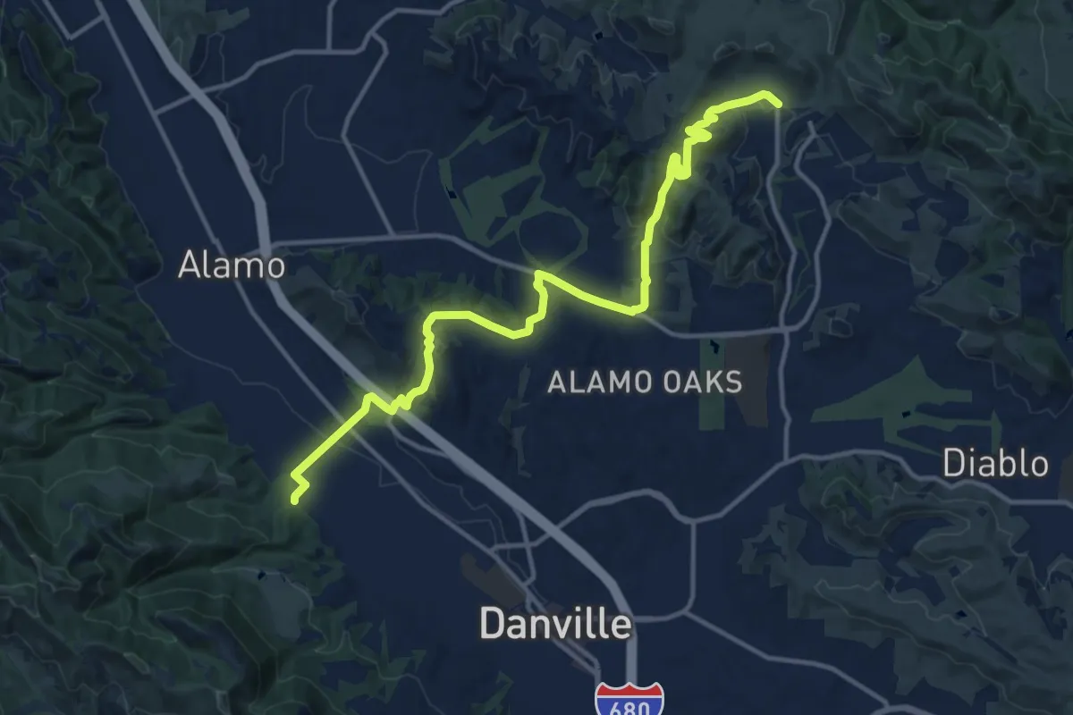
Medium · Trail
Las Trampas to Mt. Diablo Regional Trail
16.6 km · ↑ 539 m · 5 h 5 min
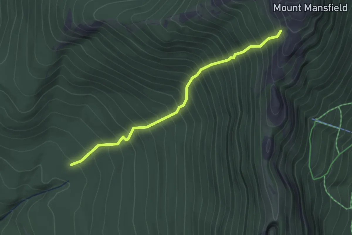
Medium · Trail
Laura Cowles Trail
3.1 km · ↑ 557 m · 1 h 56 min
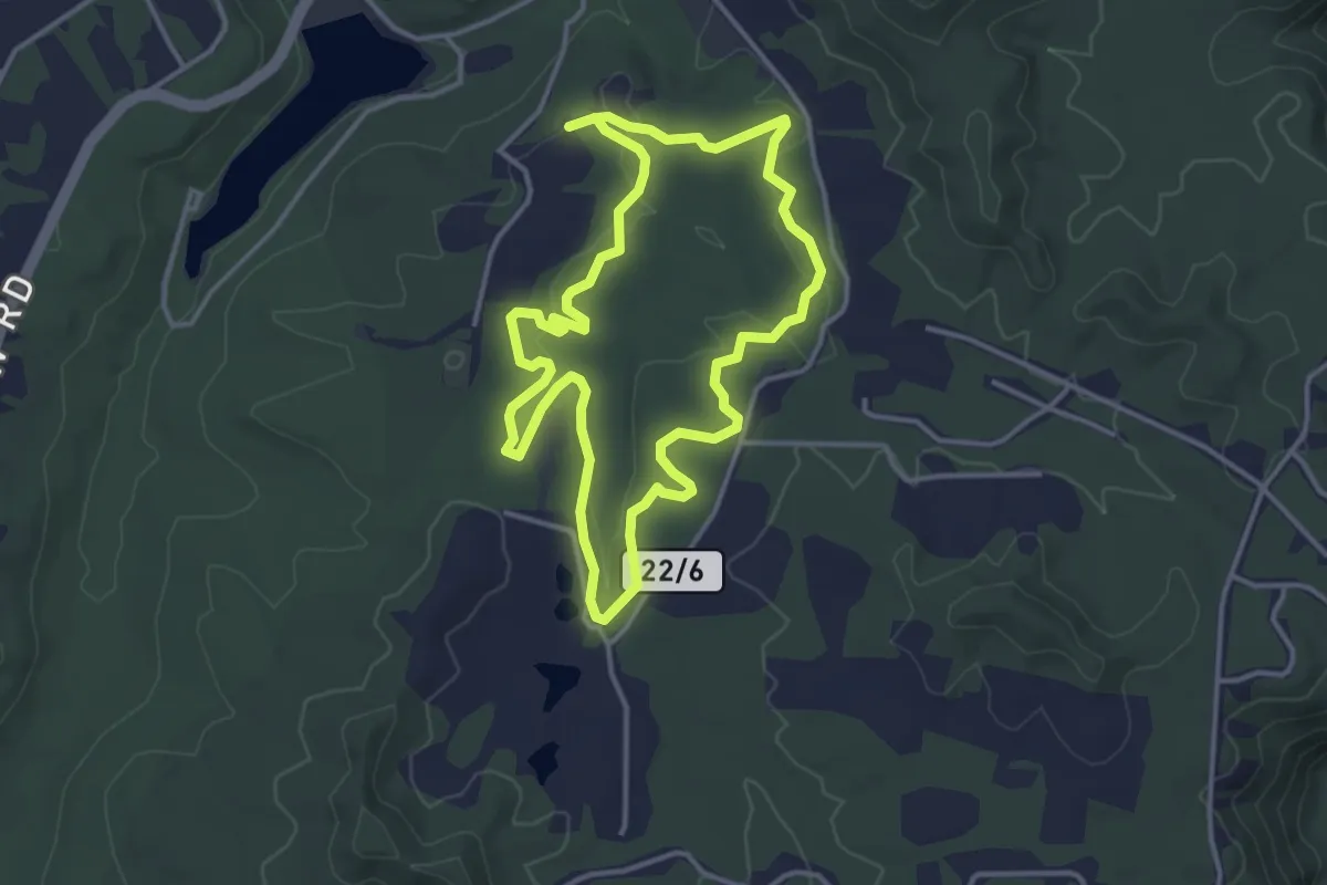
Easy · Trail
Laurel Creek Trail
4.1 km · ↑ 42 m · 1 h 8 min
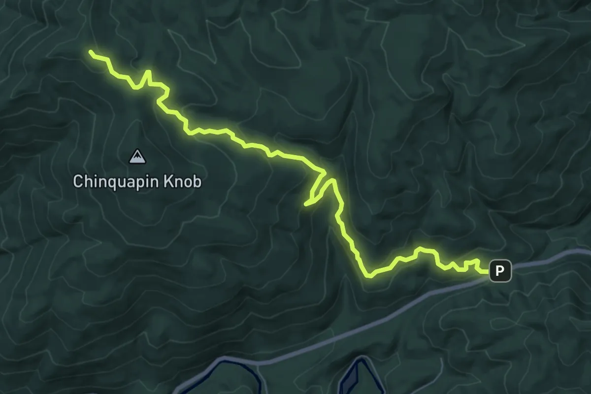
Medium · Trail
Laurel Falls Trail
9.7 km · ↑ 481 m · 3 h 19 min
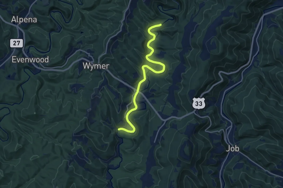
Medium · Trail
Laurel Fork Trail
14.9 km · ↑ 46 m · 3 h 37 min
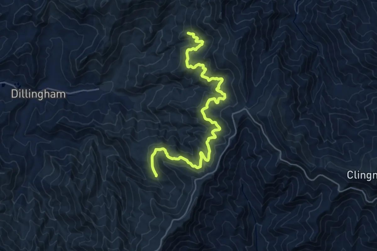
Demanding · Trail
Laurel Gap Trail
22.4 km · ↑ 513 m · 6 h 24 min
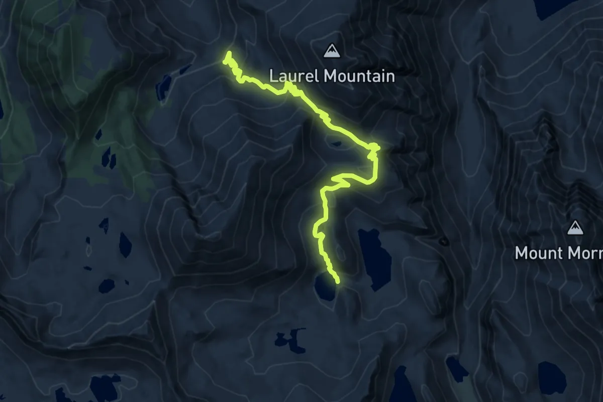
Medium · Trail
Laurel Lake to Edith Lake Trail
12.9 km · ↑ 686 m · 4 h 31 min
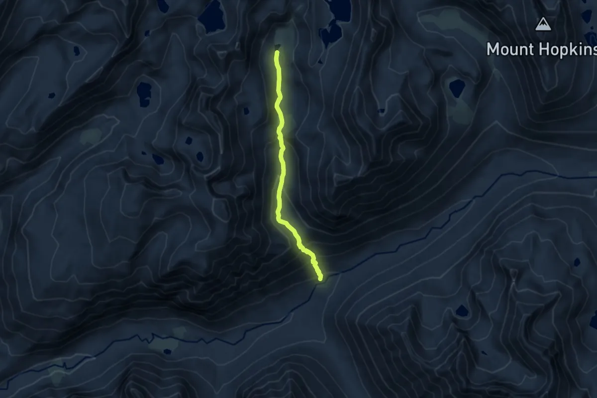
Medium · Trail
Laurel Lake Trail
8.0 km · ↑ 477 m · 2 h 55 min
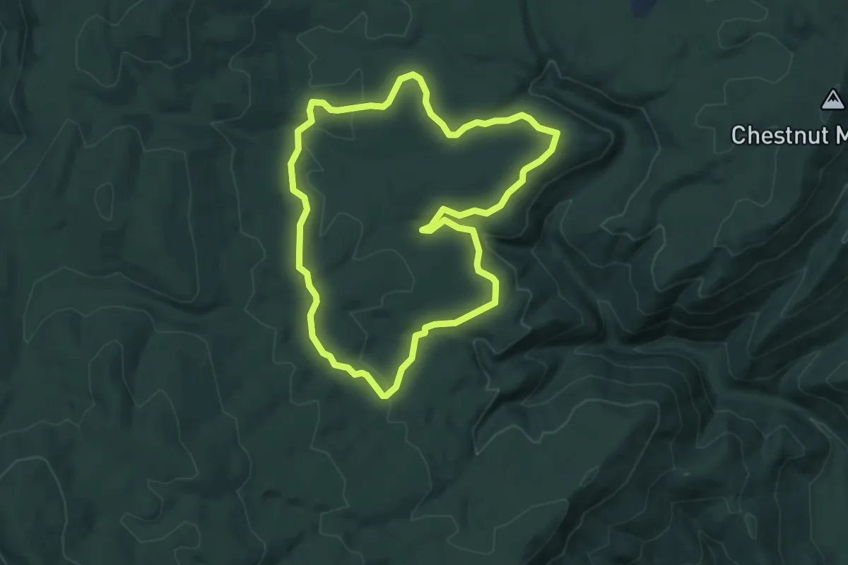
Easy · Trail
Laurel Loop Trail
5.0 km · ↑ 102 m · 1 h 28 min
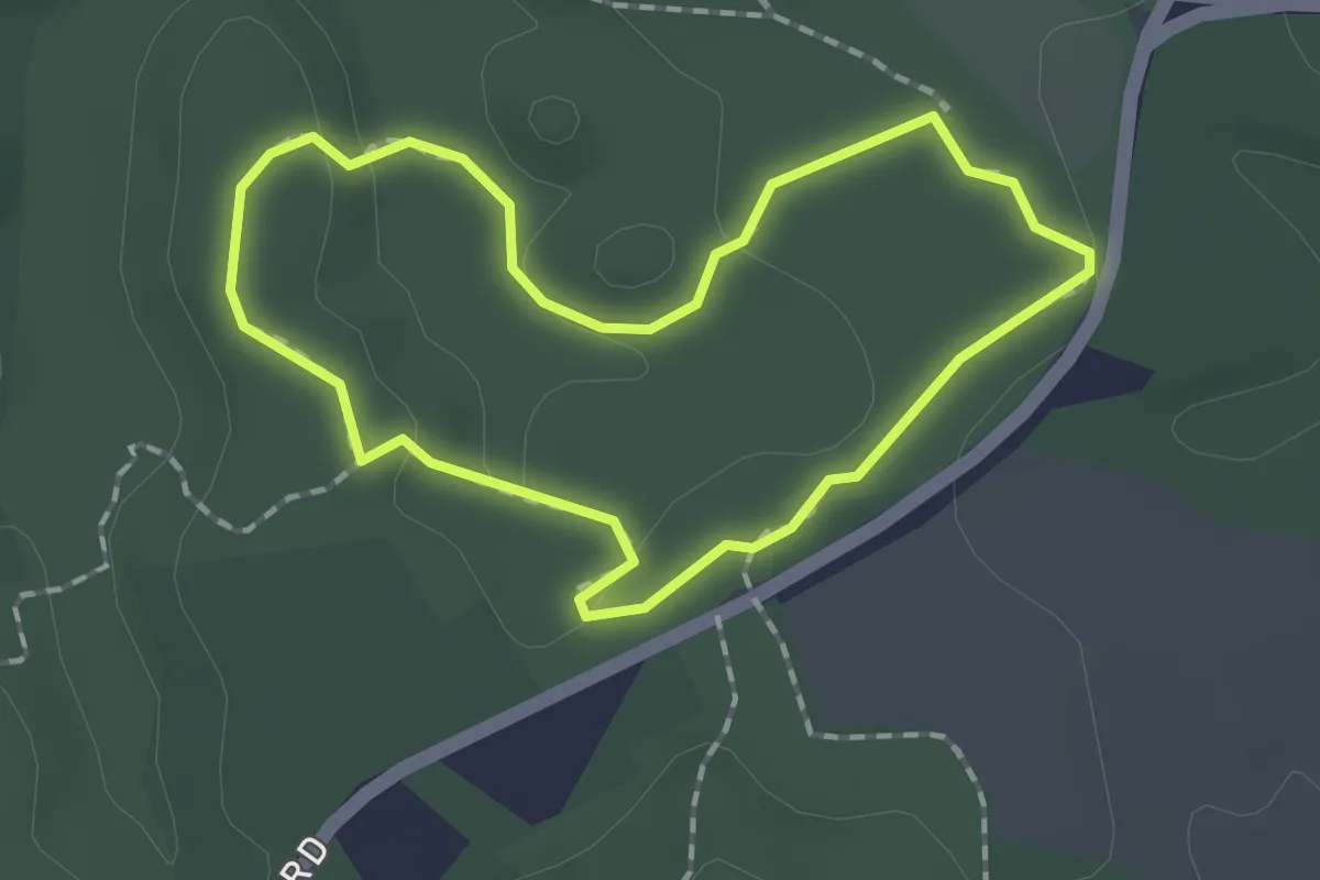
Easy · Trail
Laurel Loop Trail
1.7 km · ↑ 23 m · 28 min
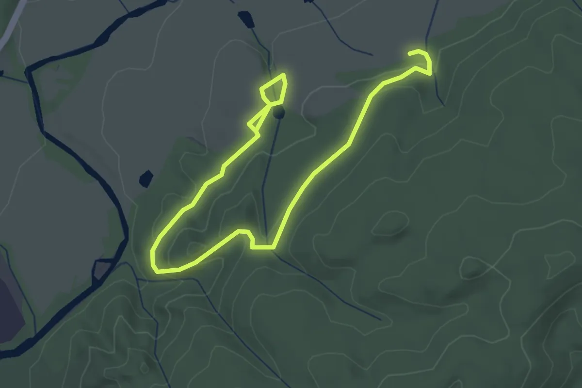
Easy · Trail
Laurel Loop Trail
4.9 km · ↑ 136 m · 1 h 27 min
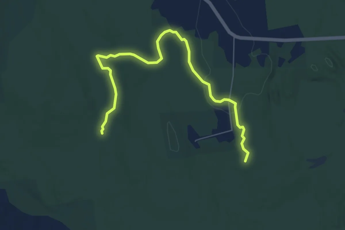
Easy · Trail
Laurel Loop Trail
7.0 km · ↑ 45 m · 1 h 45 min
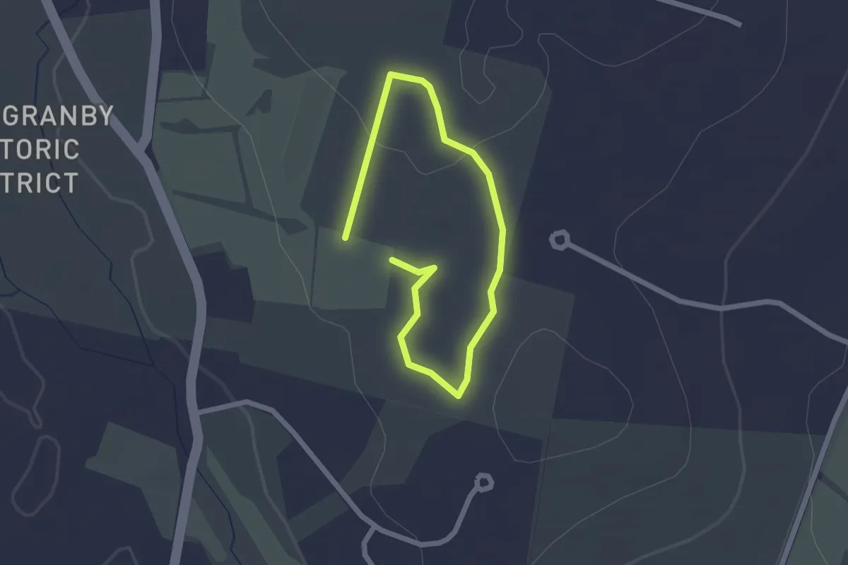
Easy · Trail
Laurel Loop Trail
1.5 km · ↑ 19 m · 26 min
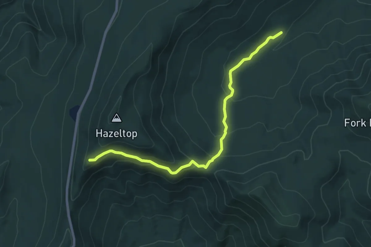
Easy · Trail
Laurel Prong Trail
7.2 km · ↑ 285 m · 2 h 19 min
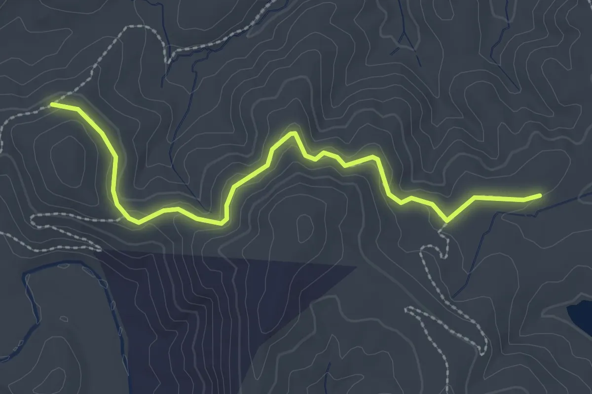
Easy · Trail
Laurel Ridge Trail
3.2 km · ↑ 97 m · 58 min
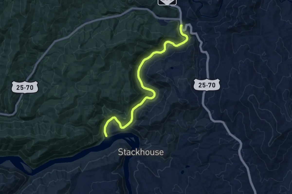
Medium · Trail
Laurel River Trail
11.5 km · ↑ 131 m · 3 h
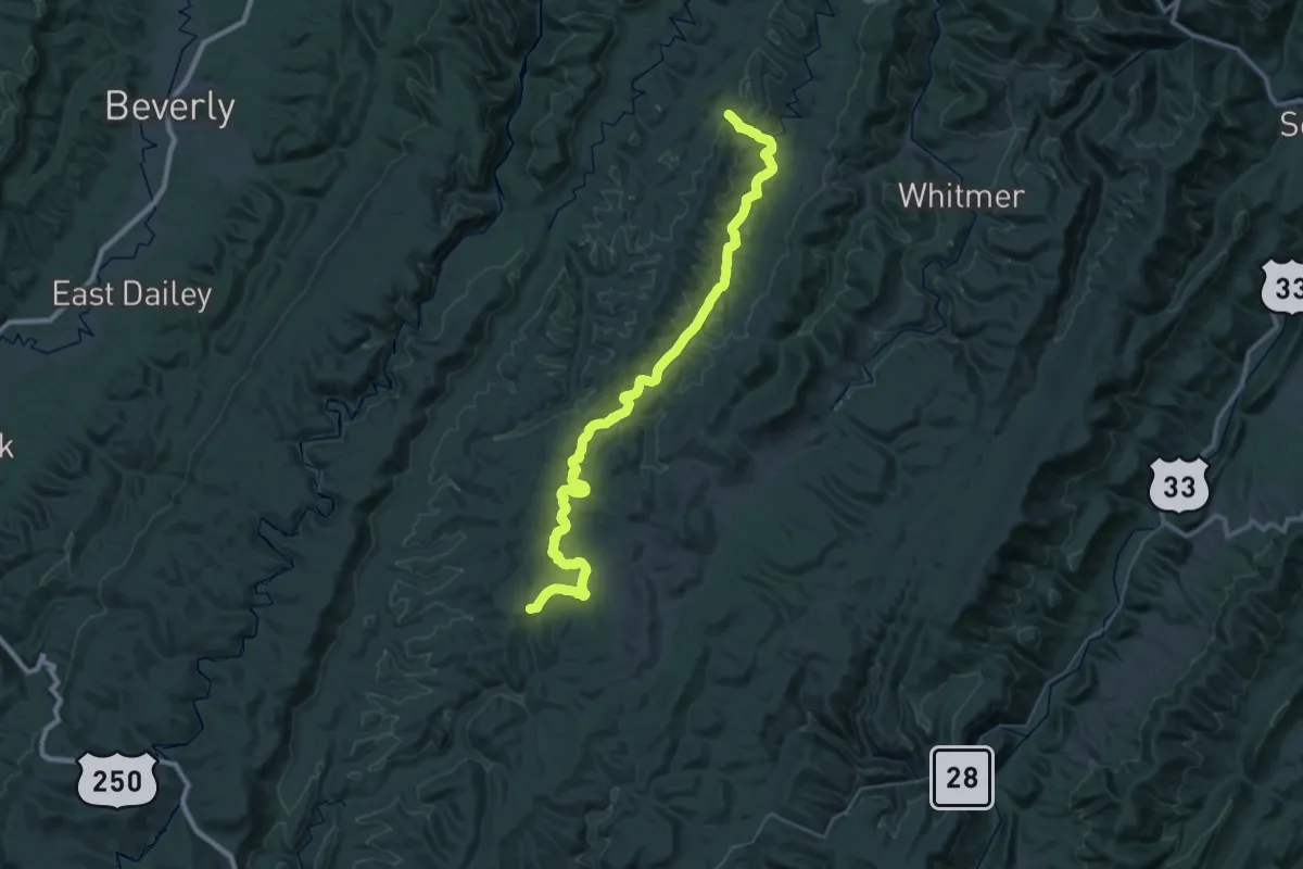
Demanding · Trail
Laurel Run Trail
27.4 km · ↑ 159 m · 7 h 19 min
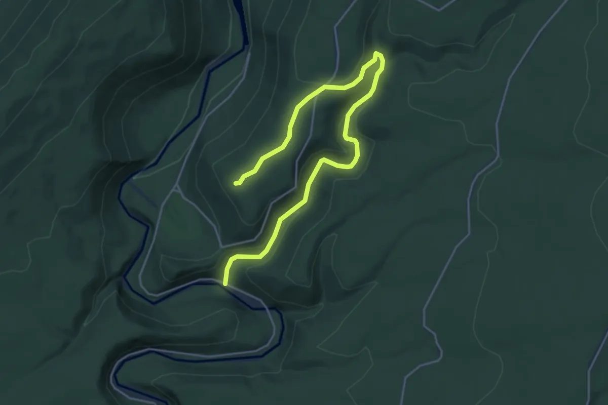
Easy · Trail
Laurel Run Trail
5.6 km · ↑ 155 m · 1 h 39 min
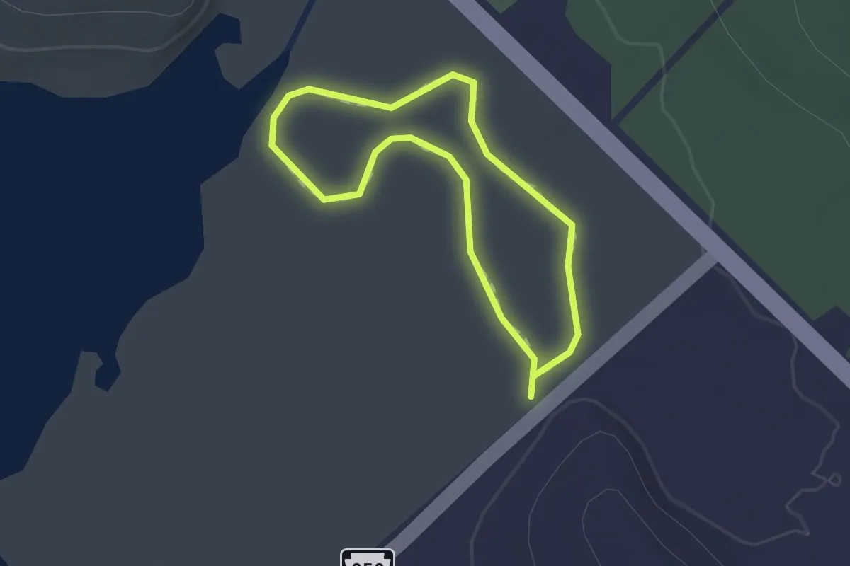
Easy · Trail
Laurel Run Trail
1.1 km · ↑ 0 m · 17 min
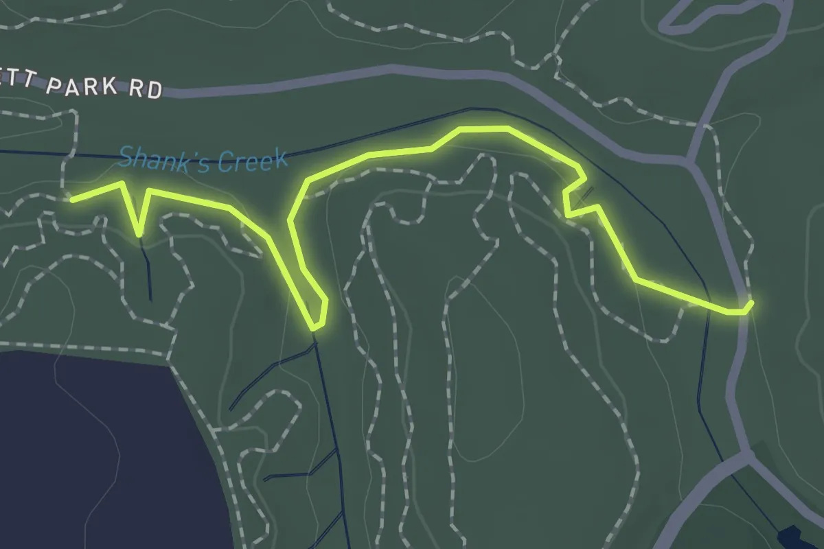
Easy · Trail
Laurel Trail
2.5 km · ↑ 38 m · 40 min
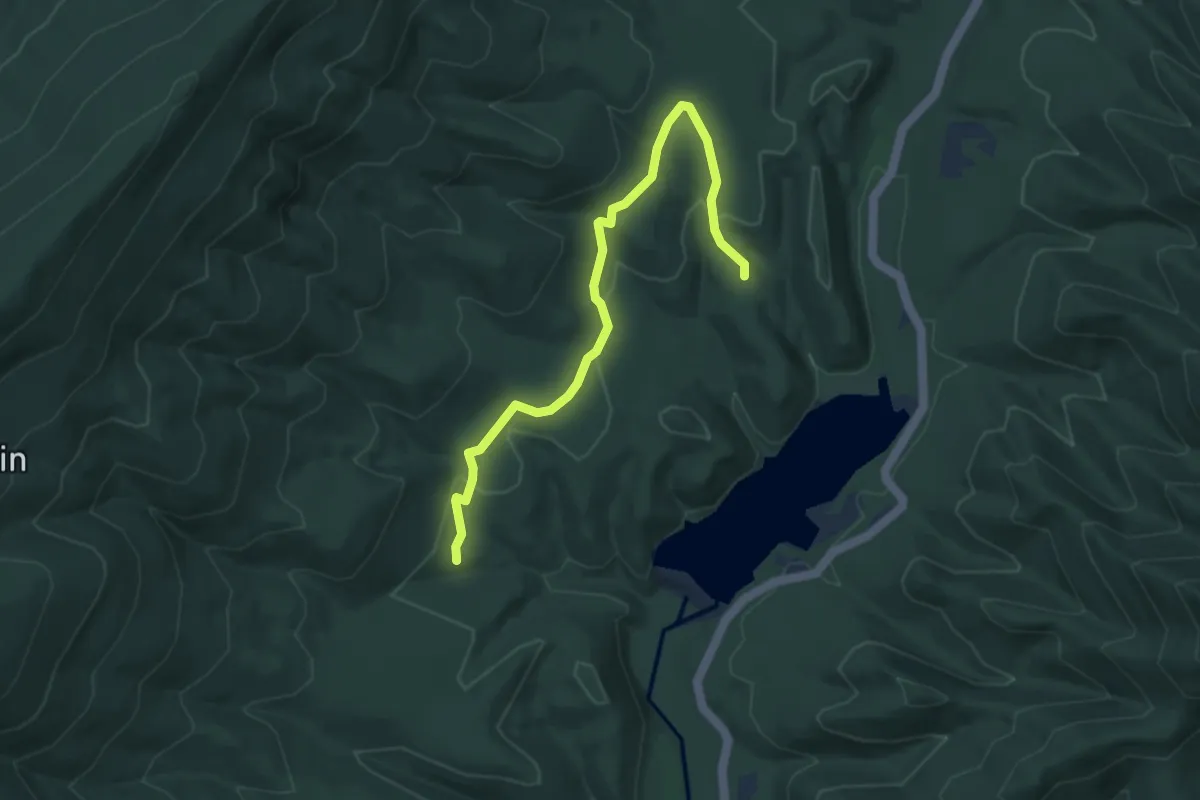
Easy · Trail
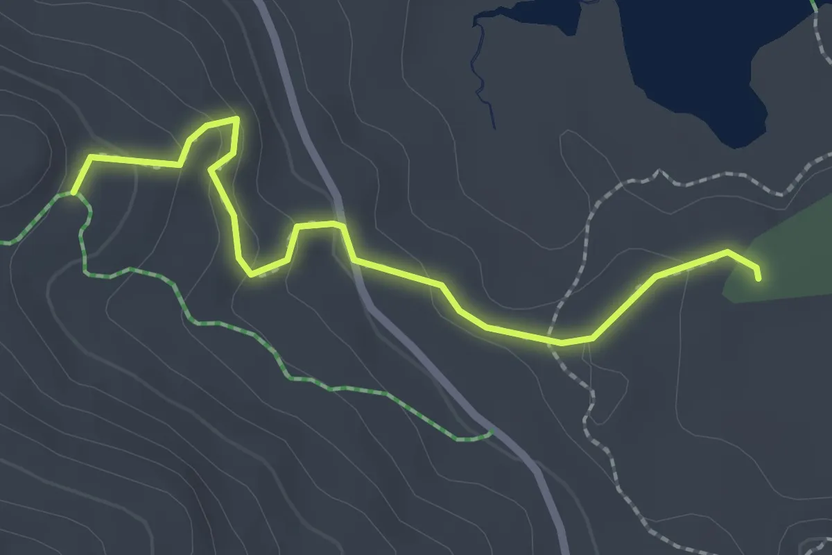
Laurel View Trail
4.9 km · ↑ 127 m · 1 h 26 min
Easy · Trail
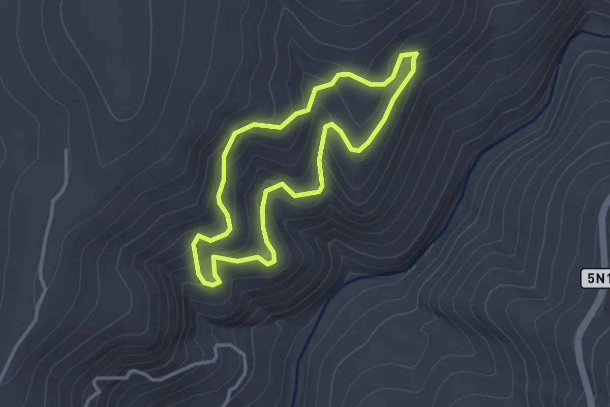
Laurie's Ledge Trail
2.3 km · ↑ 89 m · 44 min
Easy · Trail
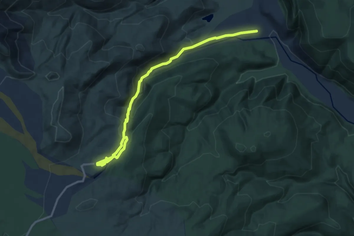
Lava Bluffs Trail
2.9 km · ↑ 142 m · 1 h 2 min
Medium · Trail
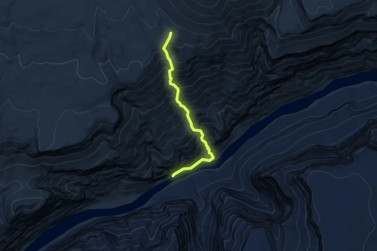
Lava Canyon Trail
9.2 km · ↑ 484 m · 3 h 13 min
Demanding · Trail
Lava Falls Trail
4.3 km · ↑ 821 m · 2 h 47 min
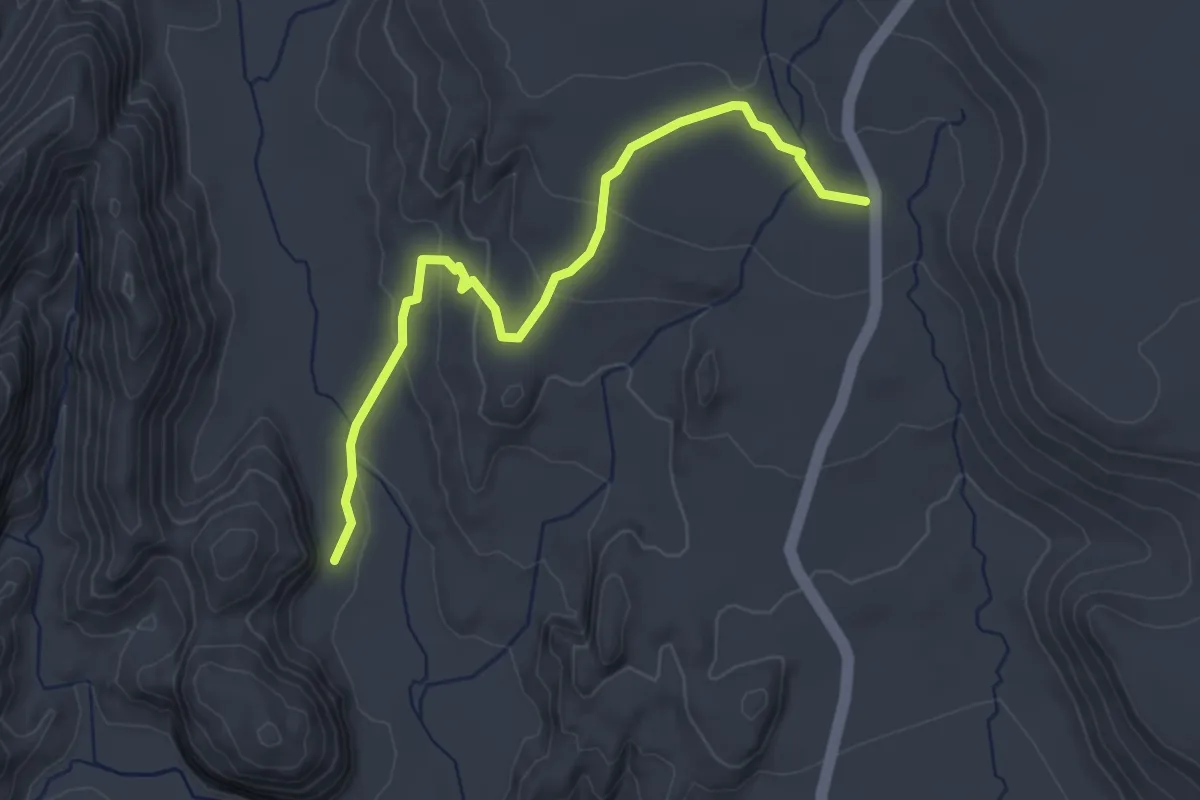
Easy · Trail
Lava Flow
4.0 km · ↑ 130 m · 1 h 14 min
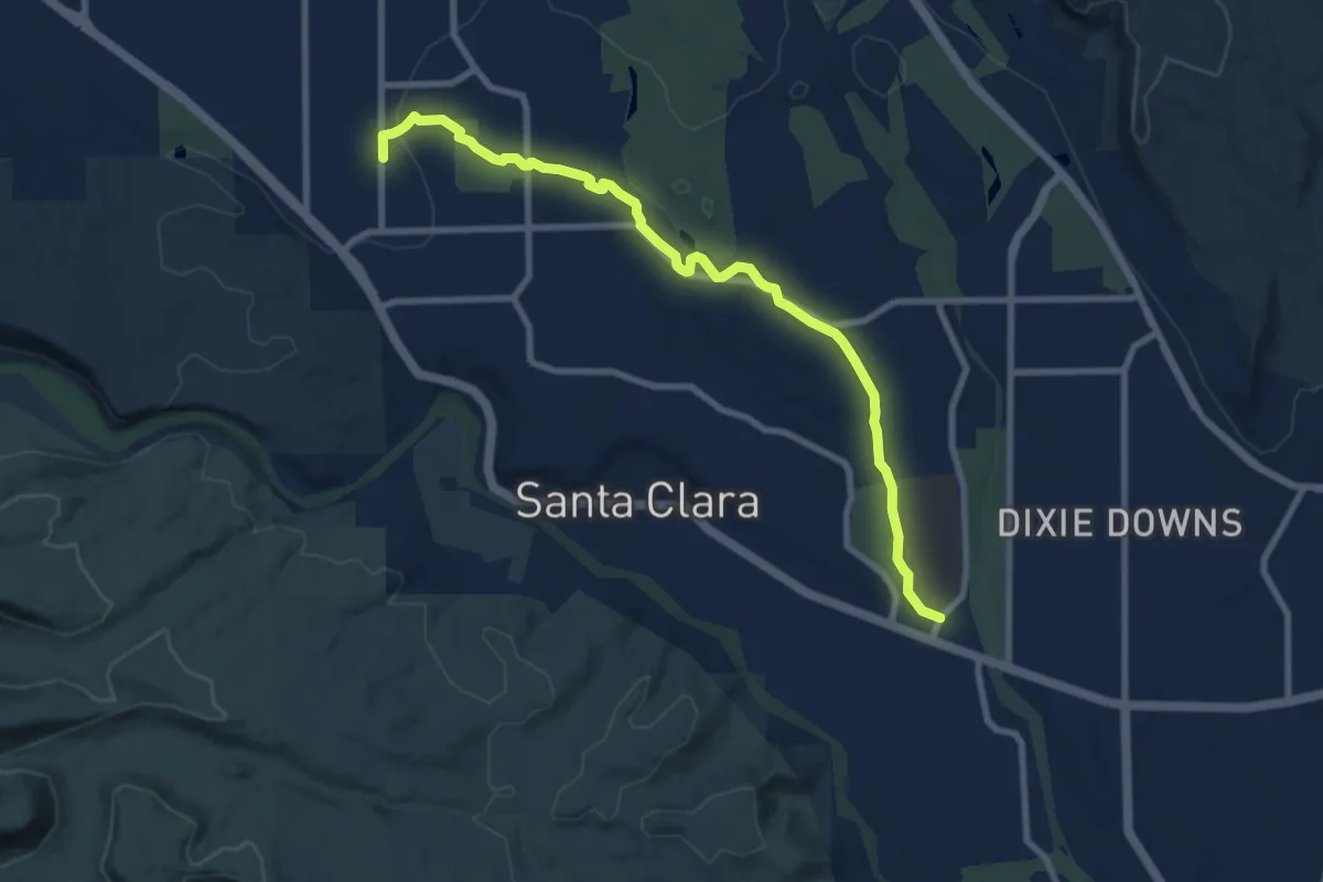
Medium · Trail
Lava Flow Trail
10.4 km · ↑ 74 m · 2 h 37 min
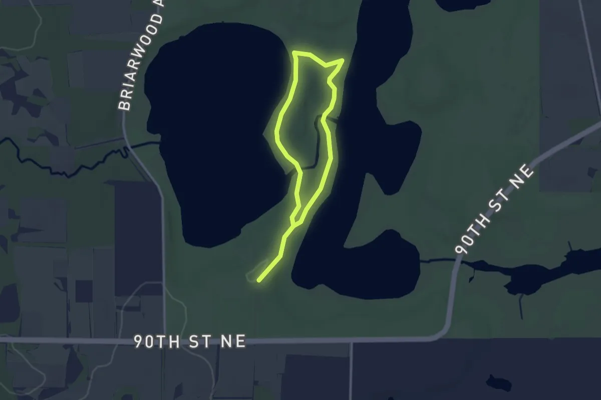
Easy · Trail
LaVallee Esker Trail
4.2 km · ↑ 15 m · 1 h 2 min
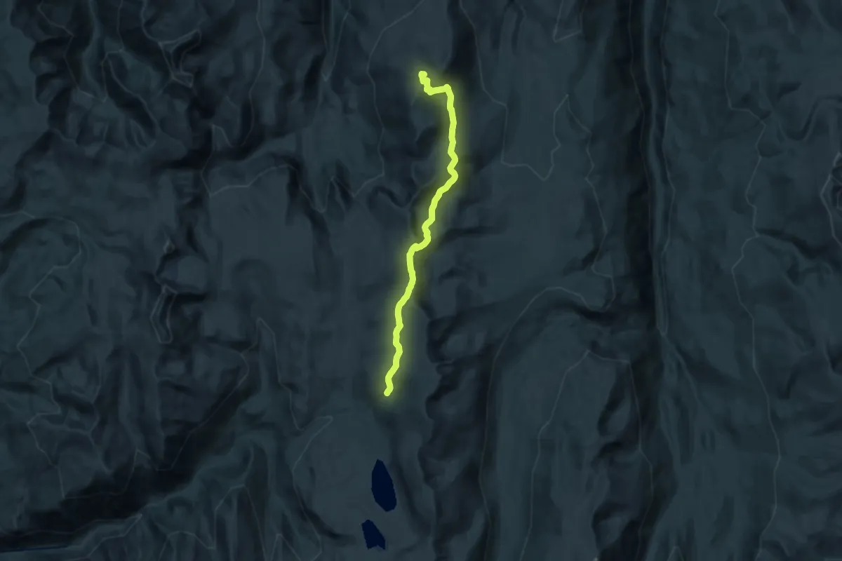
Demanding · Summit
Lava Ridge National Recreation Trail
20.8 km · ↑ 905 m · 6 h 53 min