Trails in United States
10,367 hiking trails, each with its route, climb, walking time and grade.
All trails, page 113 of 216
Medium · Trail
Louisiana Saddle Trail
9.2 km · ↑ 488 m · 3 h 14 min
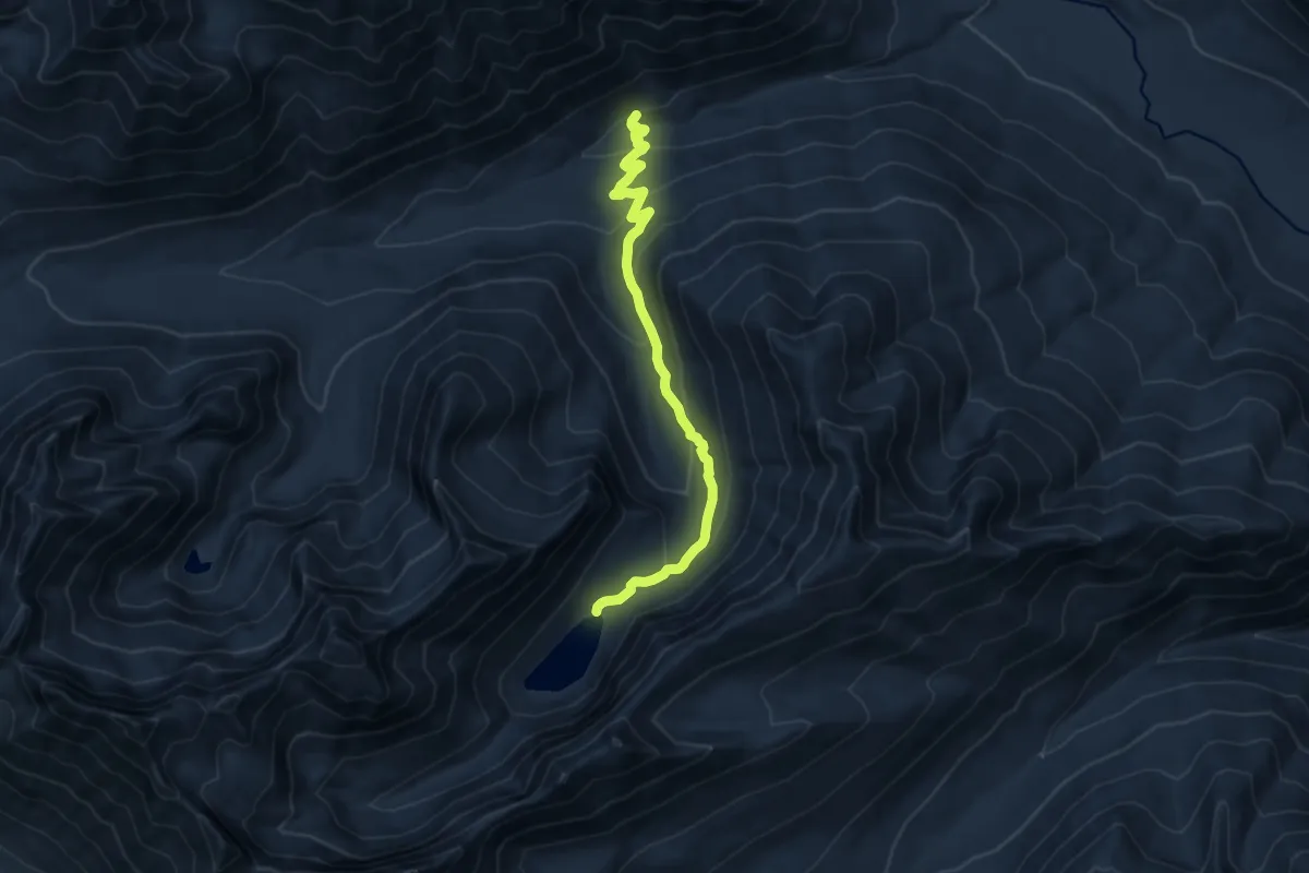
Medium · Trail
Louis Lake Trail
9.5 km · ↑ 504 m · 3 h 21 min
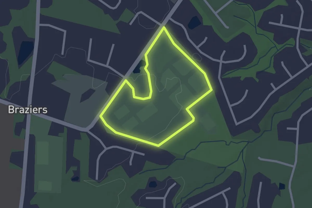
Easy · Trail
Louis Moore Memorial Walking Trail
2.0 km · ↑ 0 m · 30 min
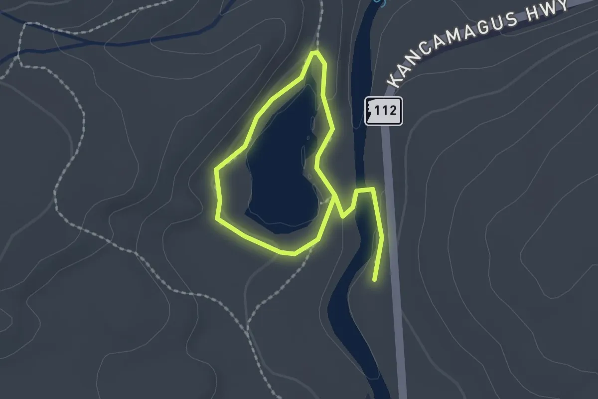
Easy · Trail
Lovequist Loop
2.8 km · ↑ 48 m · 46 min
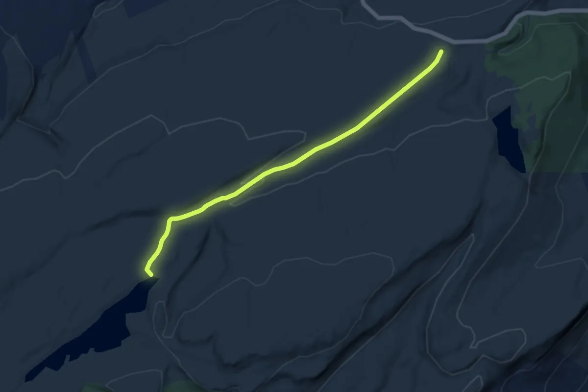
Medium · Trail
Lower Awosting Carriageway
8.6 km · ↑ 150 m · 2 h 22 min
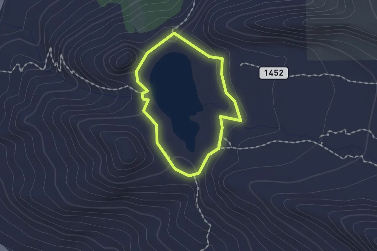
Easy · Trail
Lower Bell Canyon Reservoir Loop
1.2 km · ↑ 40 m · 23 min
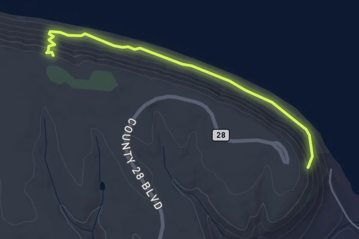
Easy · Trail
Lower Bluffside Trail
4.2 km · ↑ 188 m · 1 h 25 min
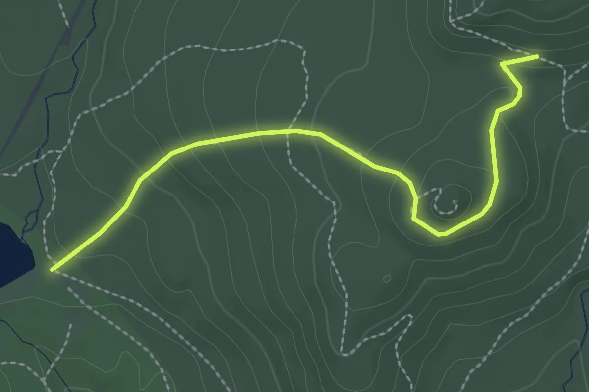
Easy · Trail
Lower Bridle Path
2.7 km · ↑ 122 m · 55 min
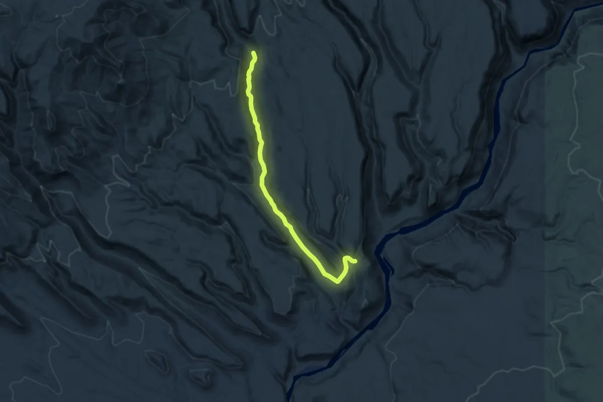
Medium · Trail
Lower Capulin Trail
14.5 km · ↑ 314 m · 4 h 7 min
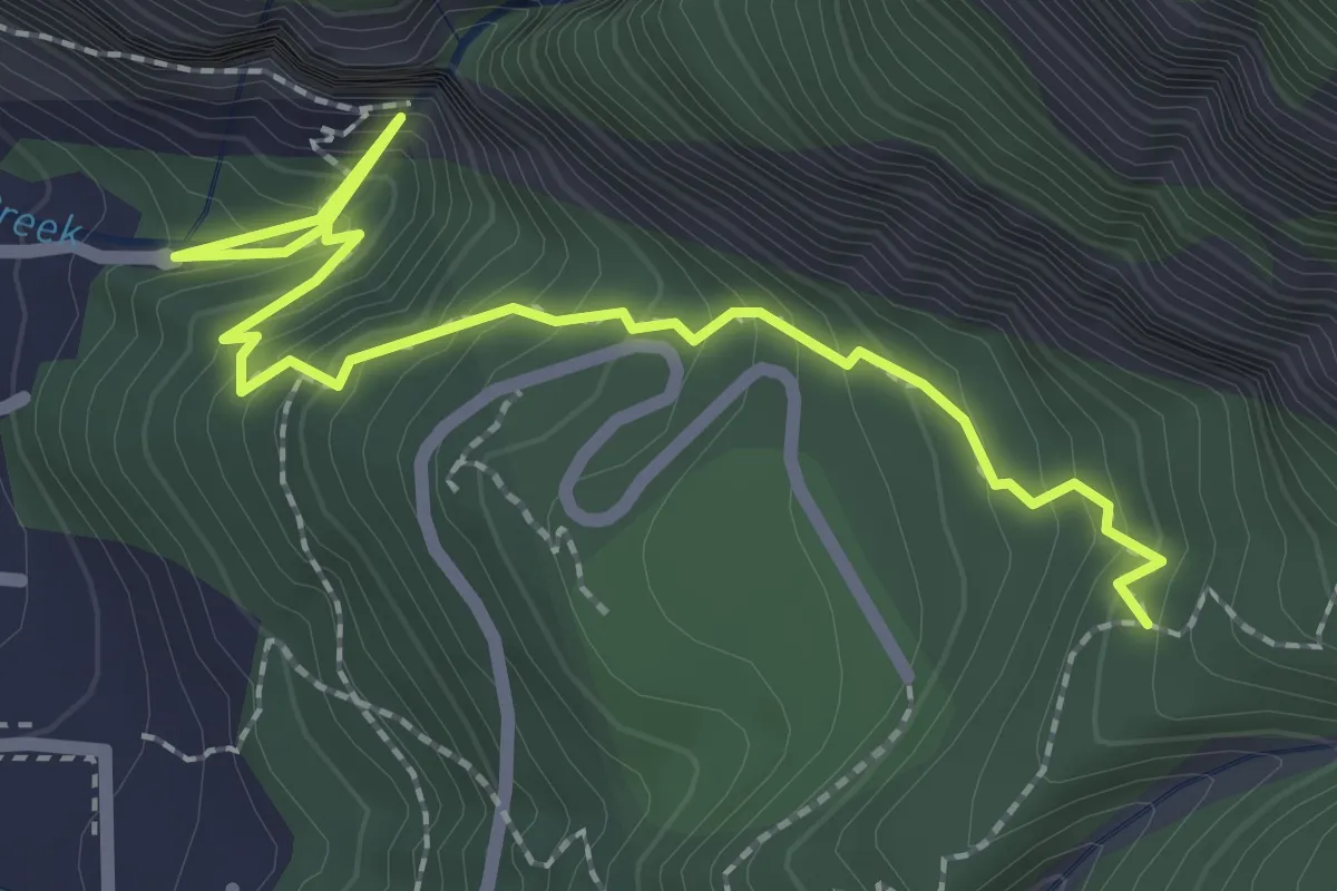
Easy · Trail
Lower Cascade Falls Trail
3.2 km · ↑ 301 m · 1 h 24 min
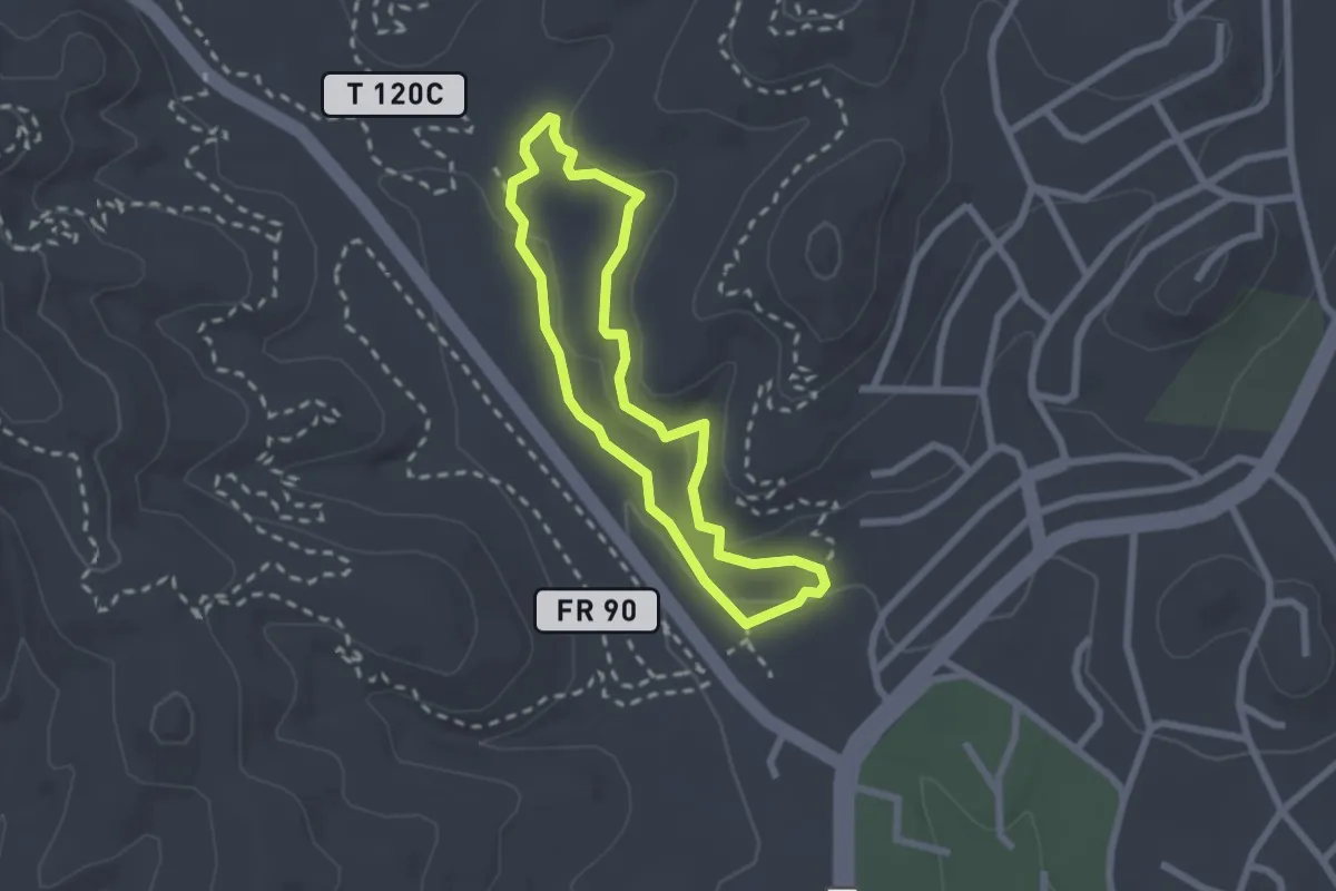
Medium · Trail
Lower Cedar Creek Trail
2.4 km · ↑ 45 m · 42 min
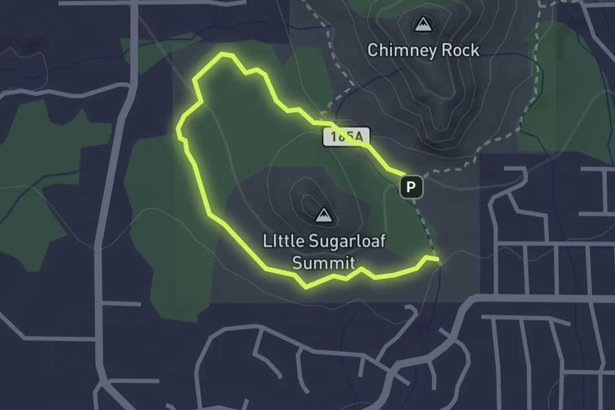
Easy · Trail
Lower Chimney Rock #165A
3.8 km · ↑ 53 m · 1 h
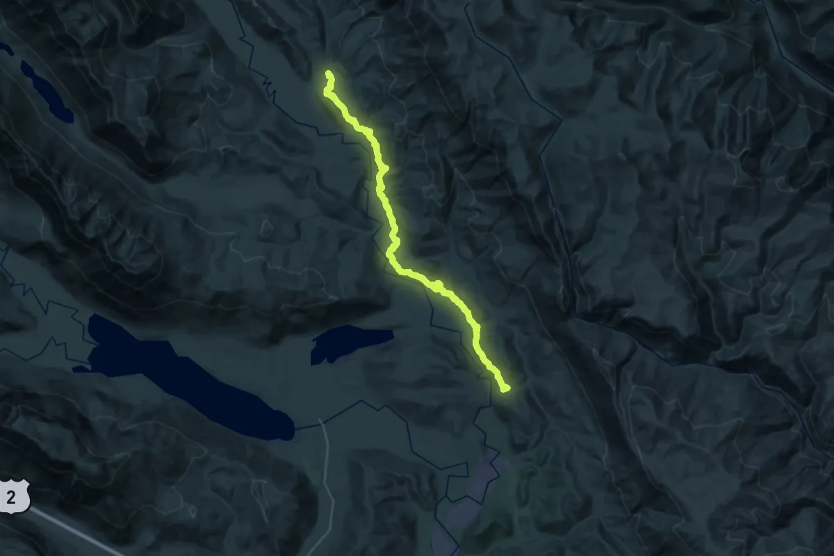
Medium · Trail
Lower Chiwawa ORV Trail
16.2 km · ↑ 379 m · 4 h 55 min
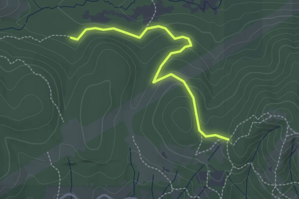
Easy · Trail
Lower Dan's Trail
2.6 km · ↑ 80 m · 47 min
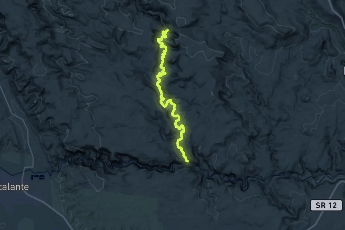
Medium · Trail
Lower Death Hollow
10.9 km · ↑ 717 m · 4 h 19 min
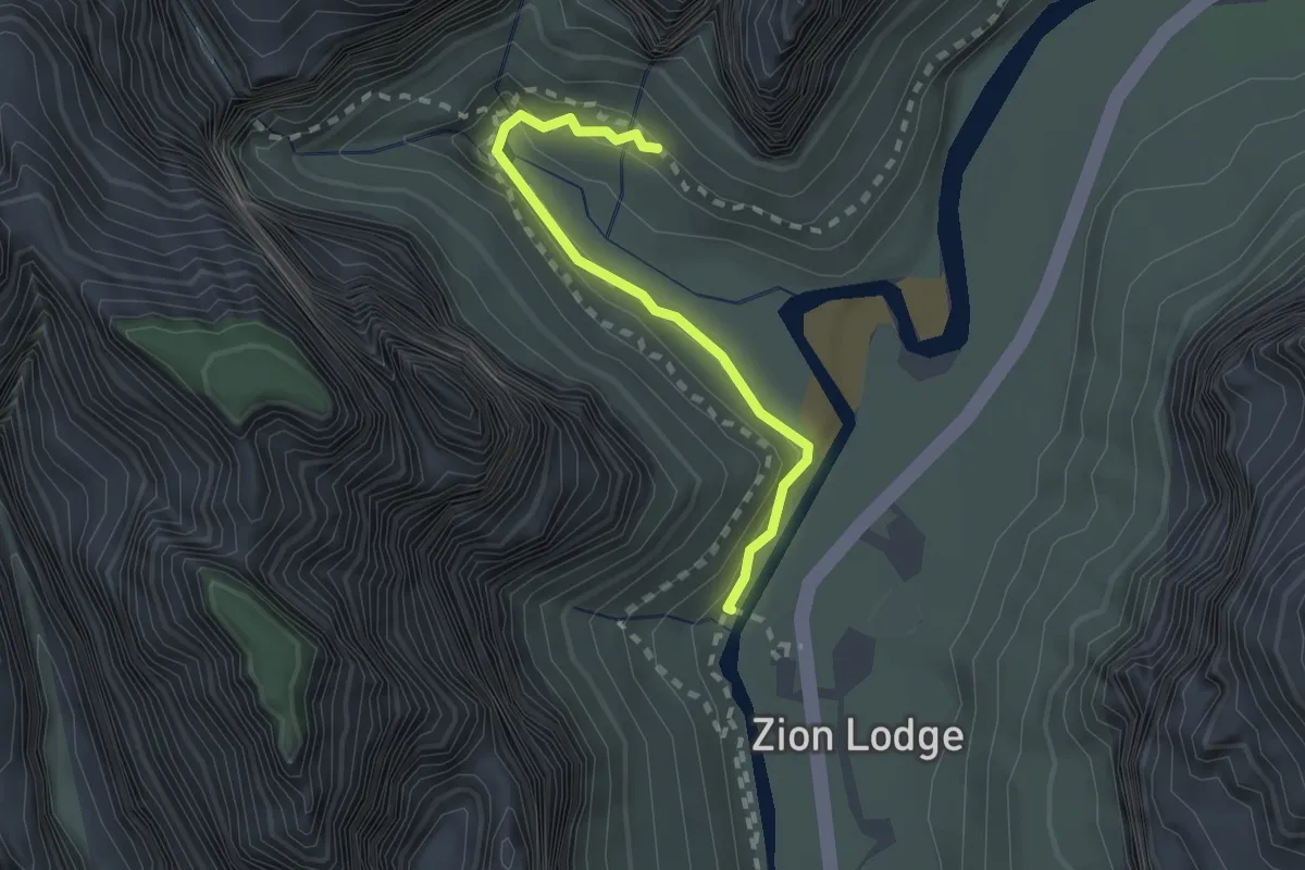
Easy · Trail
Lower Emerald Pool Trail
2.3 km · ↑ 115 m · 48 min
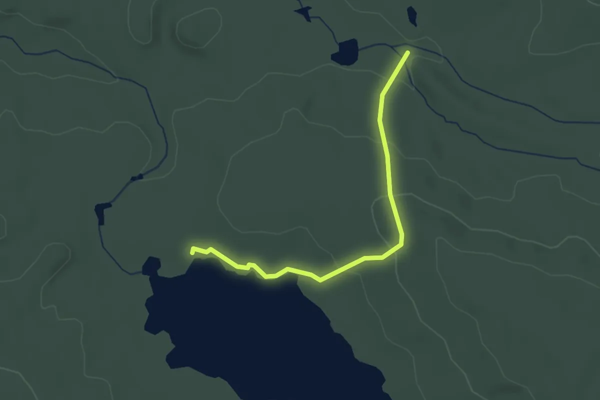
Easy · Trail
Lower Fowler Pond Trail
2.7 km · ↑ 96 m · 51 min
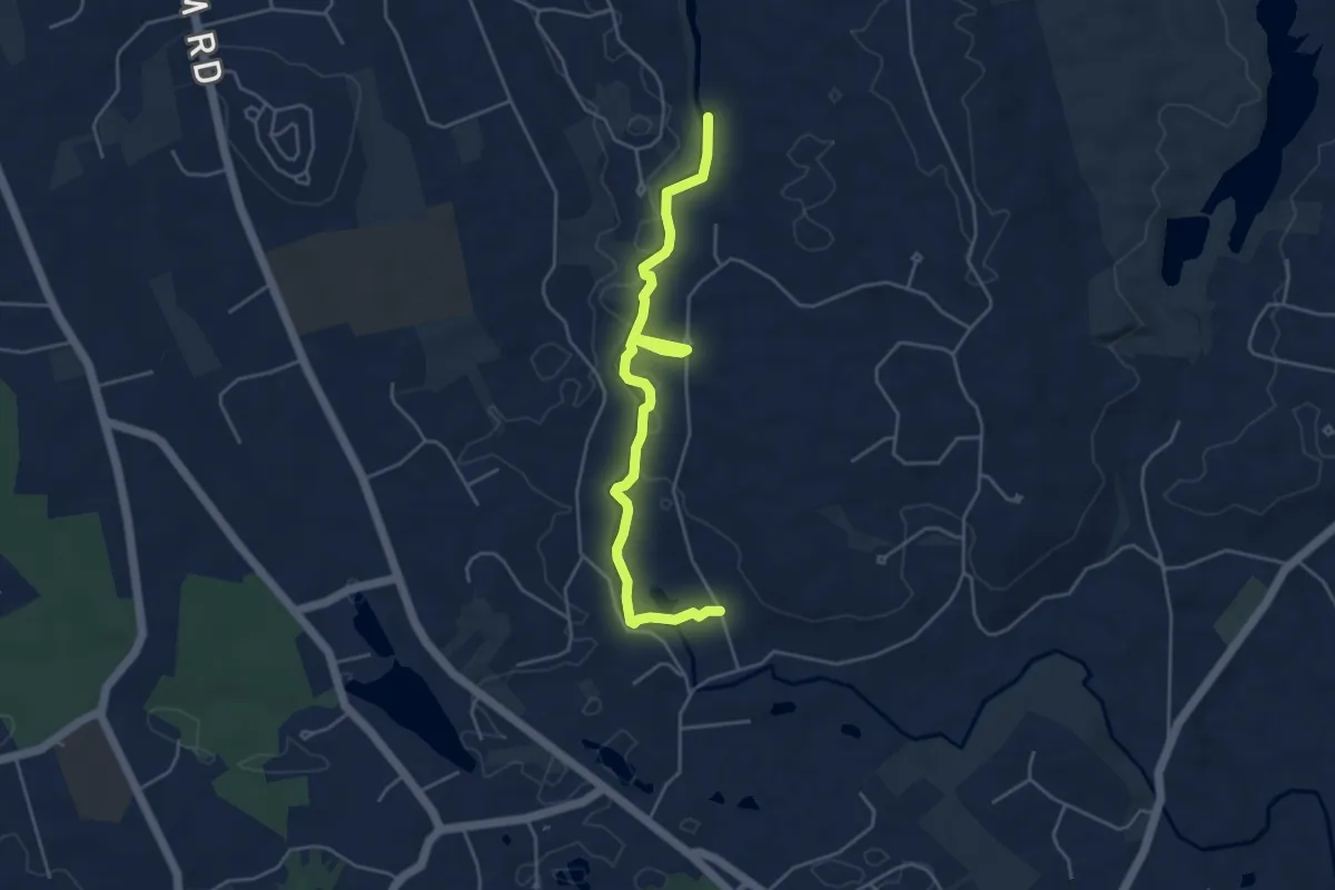
Easy · Trail
Lower Hammonasset Trail
5.4 km · ↑ 64 m · 1 h 25 min
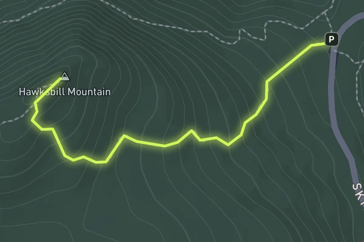
Medium · Summit
Lower Hawksbill Trail
2.5 km · ↑ 203 m · 1 h 1 min
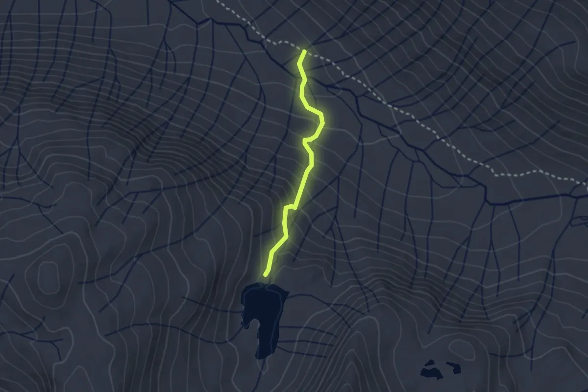
Easy · Trail
Lower Honeymoon Lake Trail
2.3 km · ↑ 203 m · 1 h
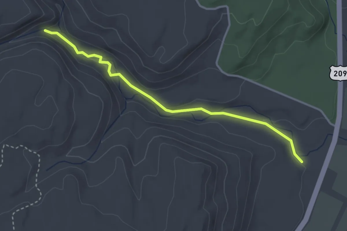
Easy · Trail
Lower Hornbecks Trail
3.4 km · ↑ 43 m · 54 min
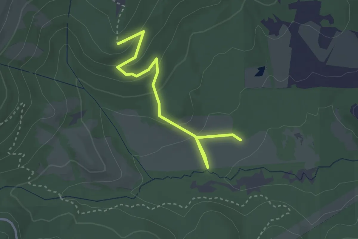
Easy · Trail
Lower Horse Trail
3.0 km · ↑ 133 m · 1 h
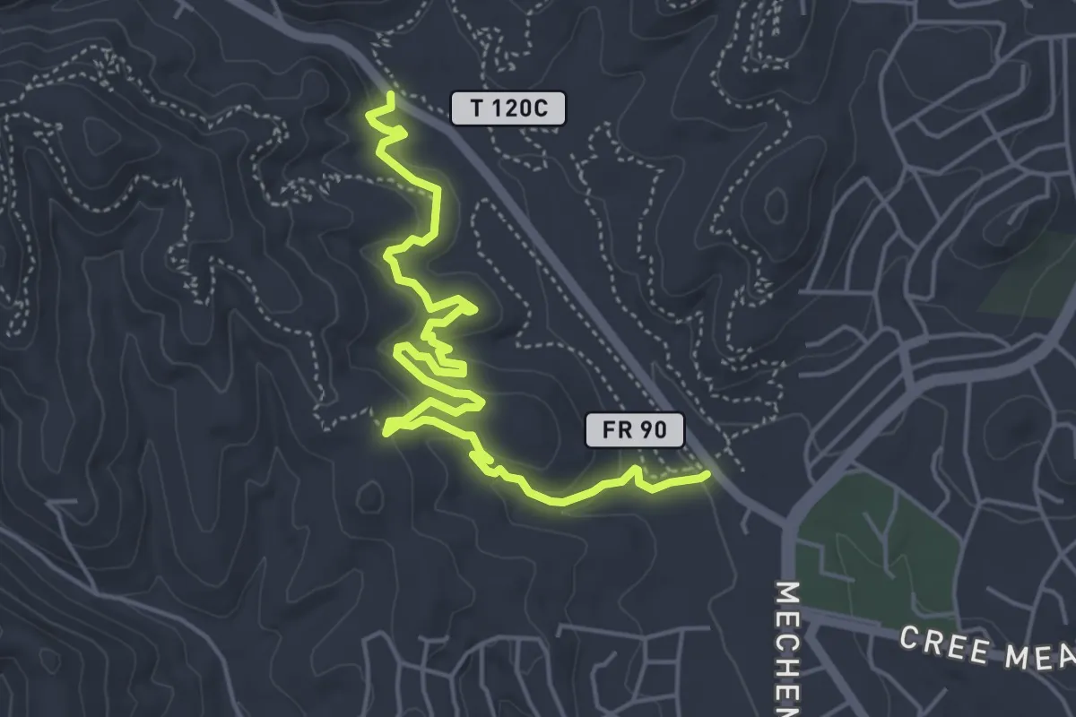
Medium · Trail
Lower Jerryatrics Trail
6.9 km · ↑ 201 m · 2 h 3 min
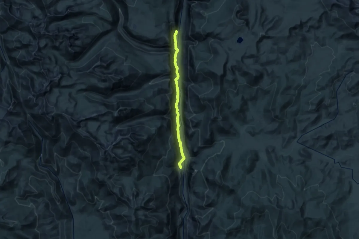
Demanding · Trail
Lower Kern Trail
27.0 km · ↑ 305 m · 7 h 2 min
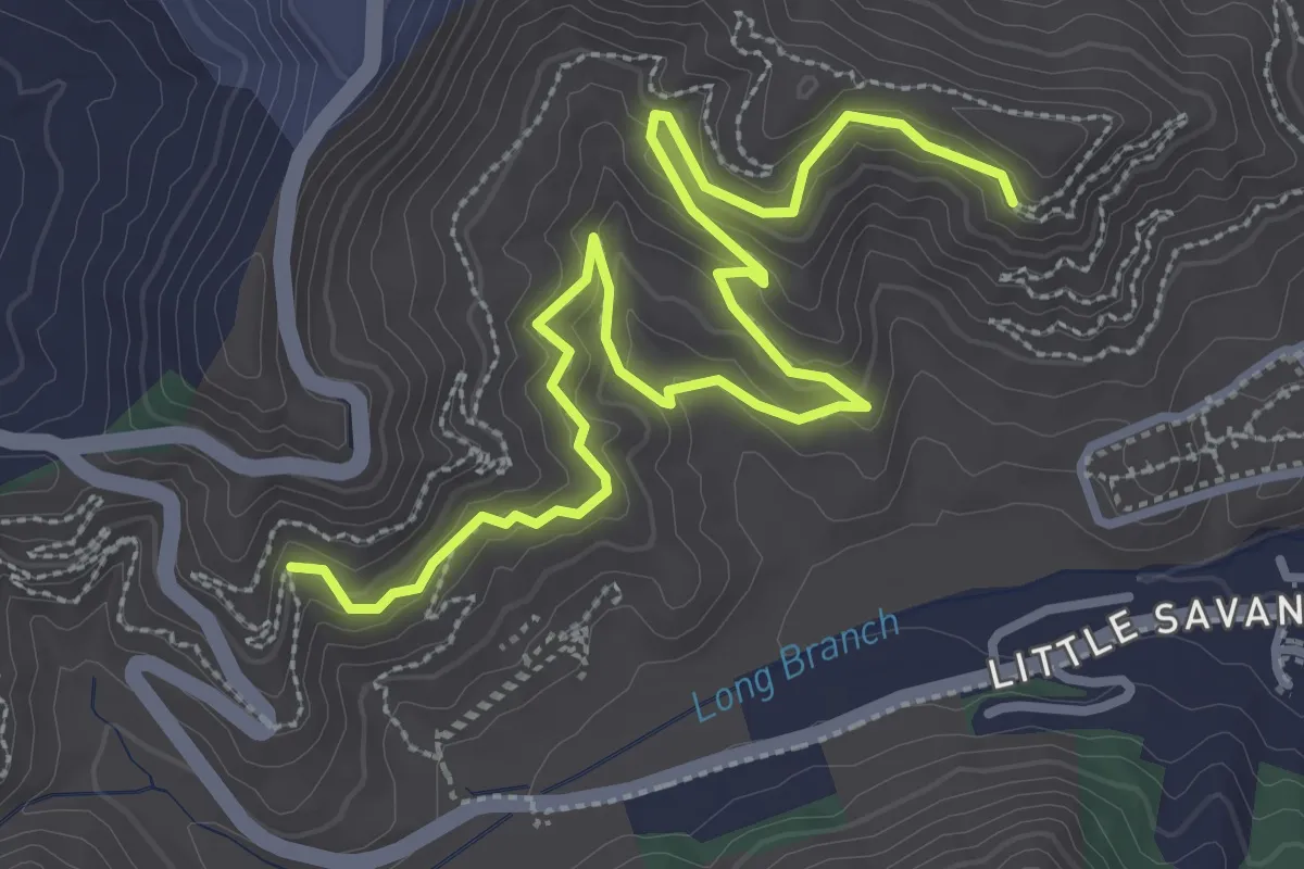
Easy · Trail
Lower Long Branch
4.7 km · ↑ 206 m · 1 h 33 min
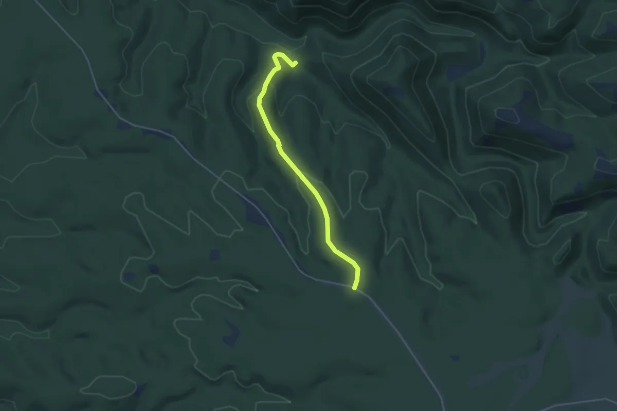
Easy · Trail
Lower Lookout Canyon Trail #122
4.3 km · ↑ 122 m · 1 h 16 min
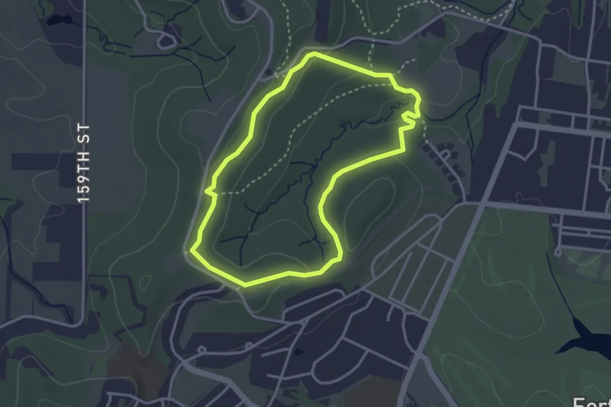
Easy · Trail
Lower Loop
3.2 km · ↑ 58 m · 56 min
Easy · Trail
Lower Loop
1.3 km · ↑ 8 m · 20 min
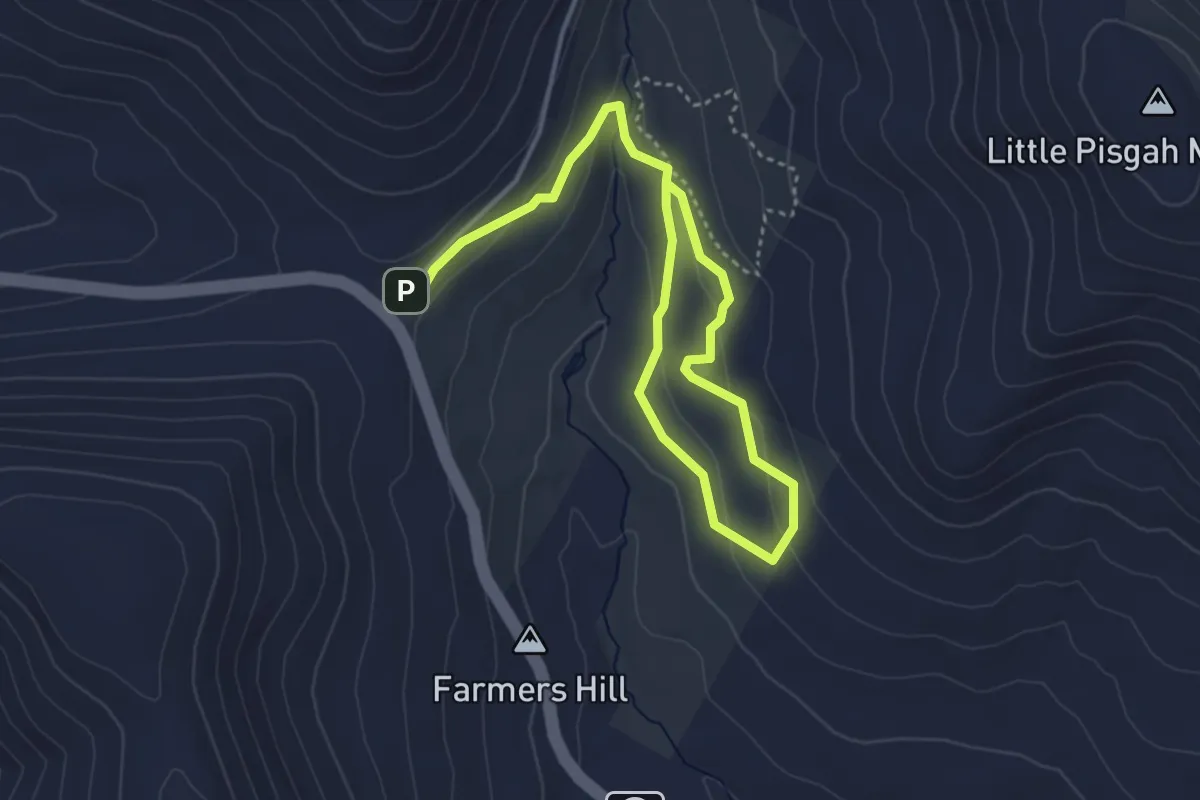
Easy · Trail
Lower Meadow Loop
5.9 km · ↑ 173 m · 1 h 47 min
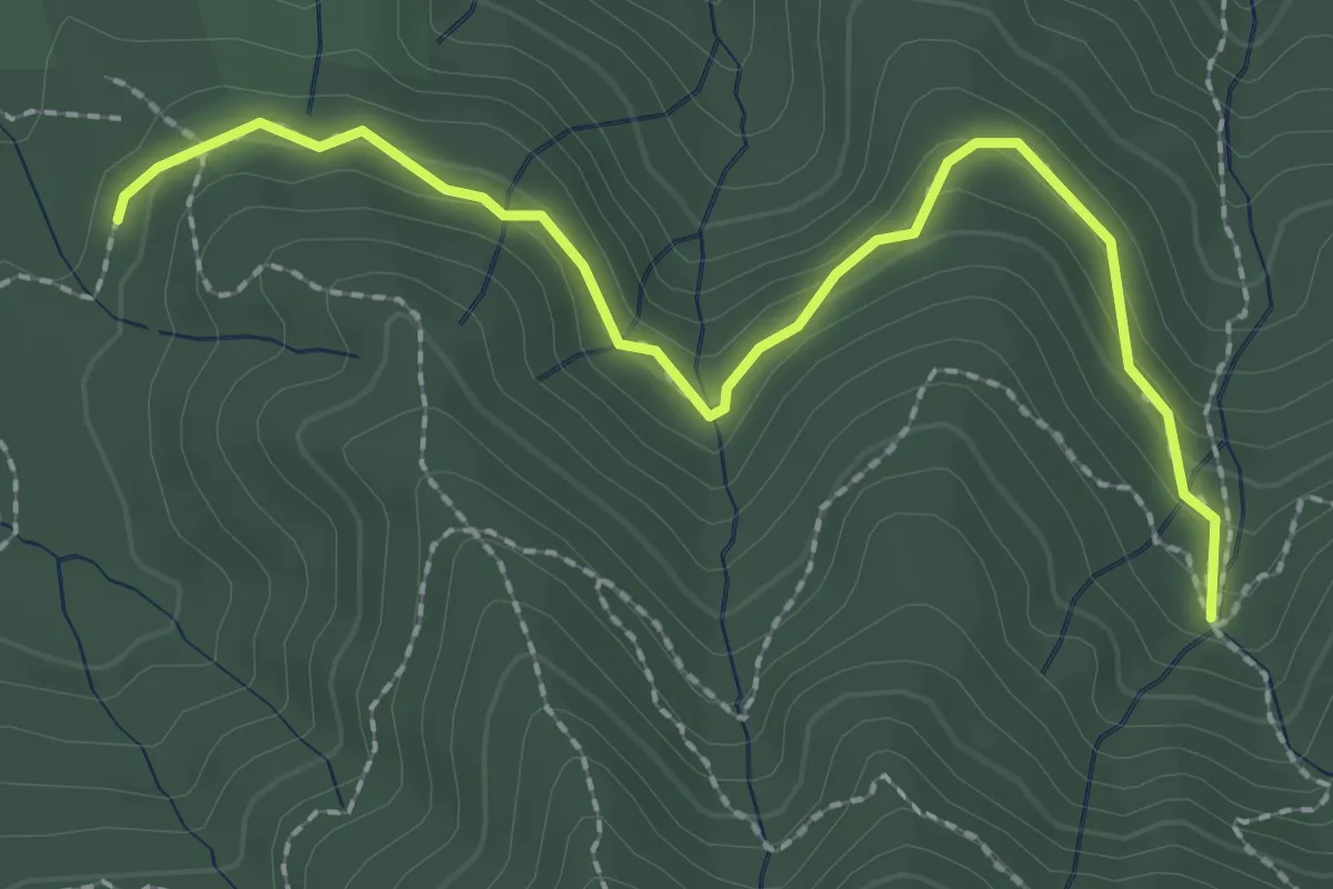
Easy · Trail
Lower Northside Trail
2.9 km · ↑ 81 m · 51 min
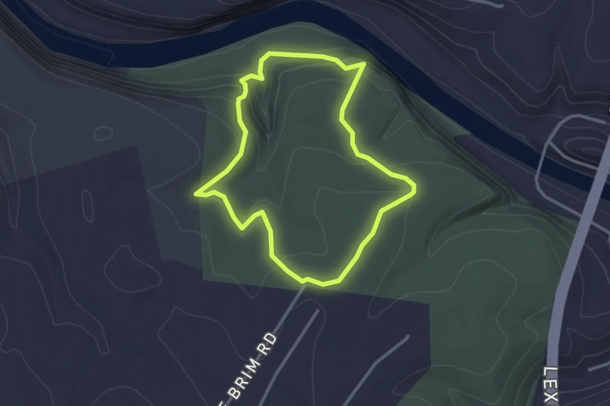
Easy · Trail
Lower Palisades Loop
3.0 km · ↑ 105 m · 58 min
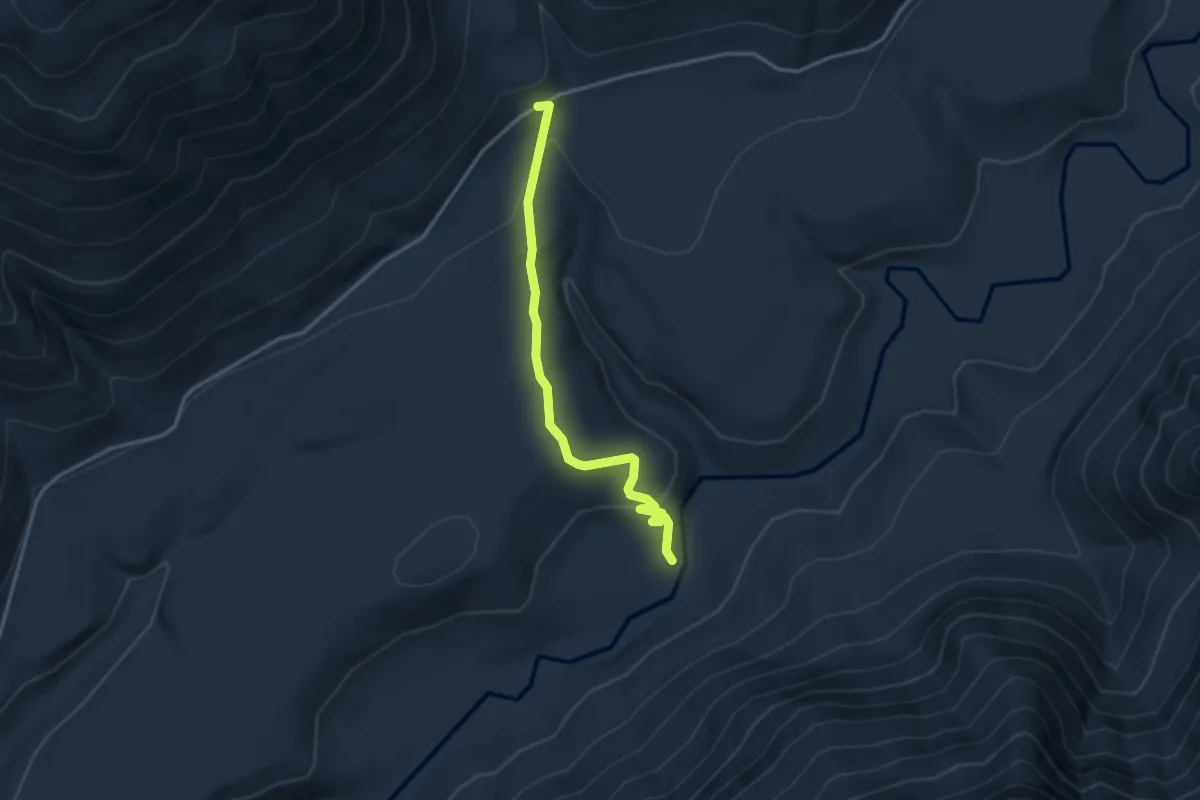
Easy · Trail
Lower Pete's Creek Trail #858.1
3.2 km · ↑ 134 m · 1 h 2 min
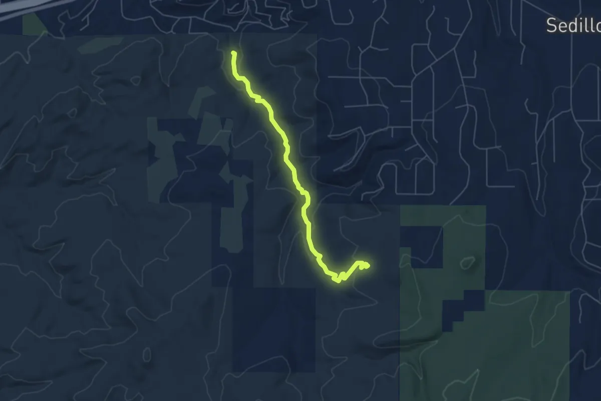
Medium · Trail
Lower Pine Trail
6.4 km · ↑ 132 m · 1 h 48 min
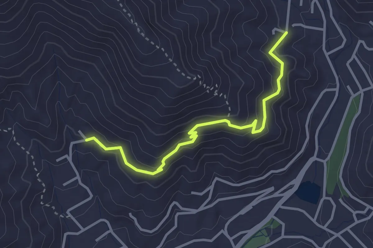
Medium · Trail
Lower Piney Trail
3.5 km · ↑ 195 m · 1 h 15 min
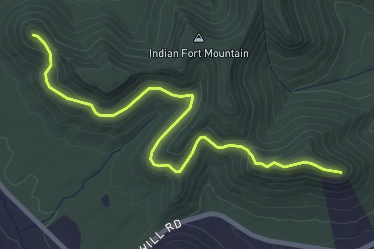
Easy · Trail
Lower Pinnacle Trail
6.1 km · ↑ 233 m · 1 h 57 min
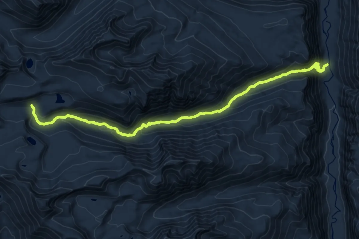
Demanding · Trail
Lower Rattlesnake Trail
12.7 km · ↑ 1139 m · 5 h 6 min
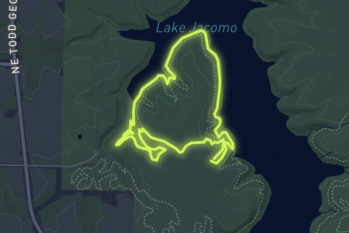
Easy · Trail
Lower Rock Ledges Loop
5.1 km · ↑ 58 m · 1 h 24 min
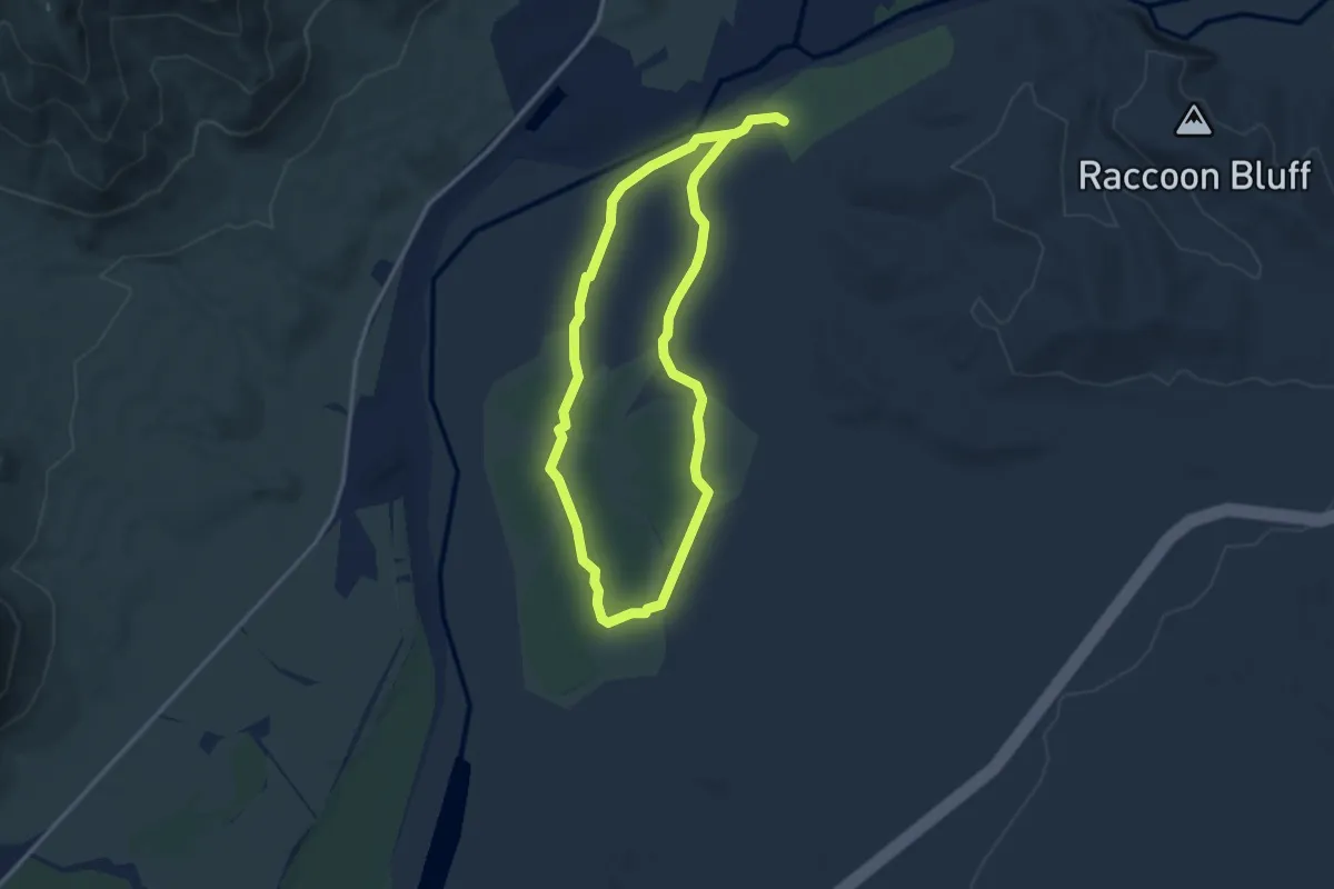
Easy · Trail
Lower Salt River Interpretive Trail
3.5 km · ↑ 4 m · 52 min
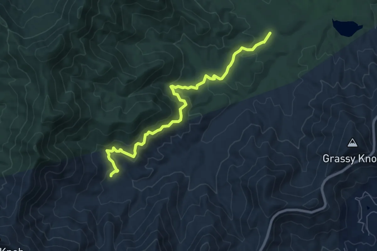
Easy · Trail
Lower Sidehill Trail
7.9 km · ↑ 264 m · 2 h 26 min
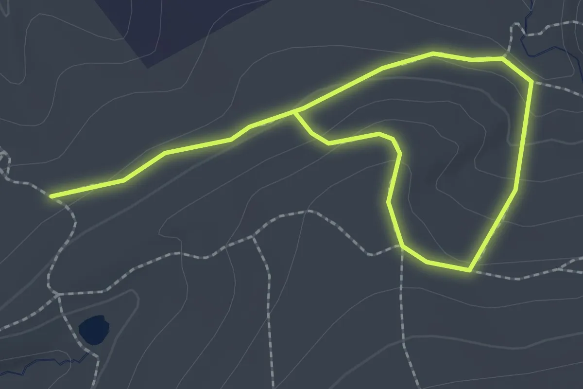
Easy · Trail
Lower Spring Trail
3.6 km · ↑ 115 m · 1 h 5 min
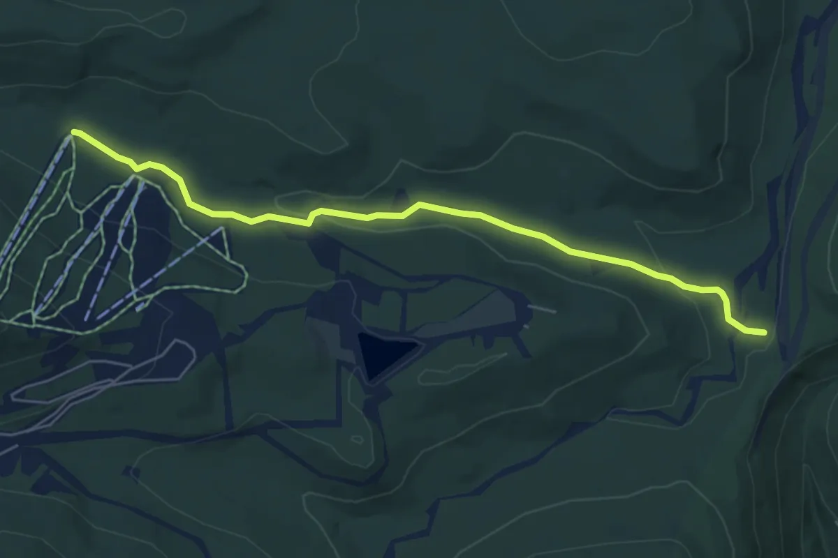
Easy · Trail
Lower Spruce Trail
6.6 km · ↑ 86 m · 1 h 45 min
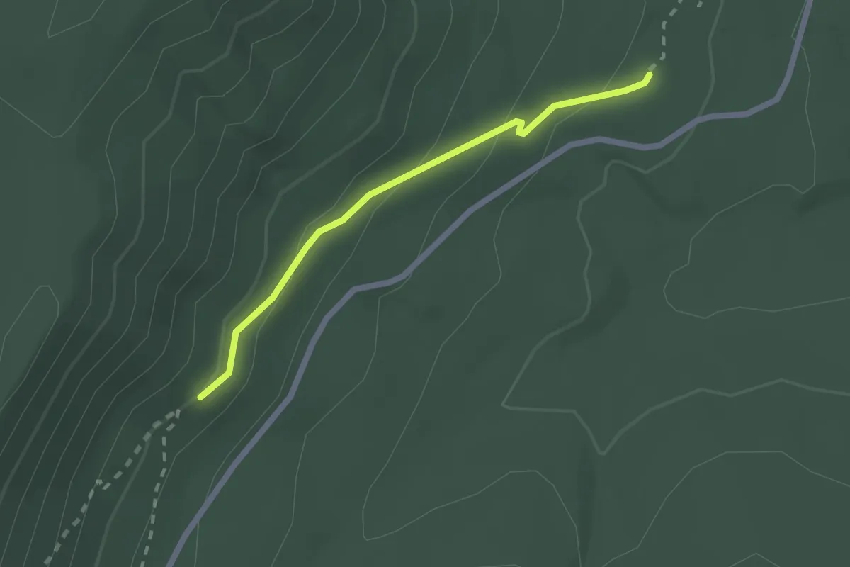
Easy · Trail
Lower Thunderstruck
2.1 km · ↑ 80 m · 40 min
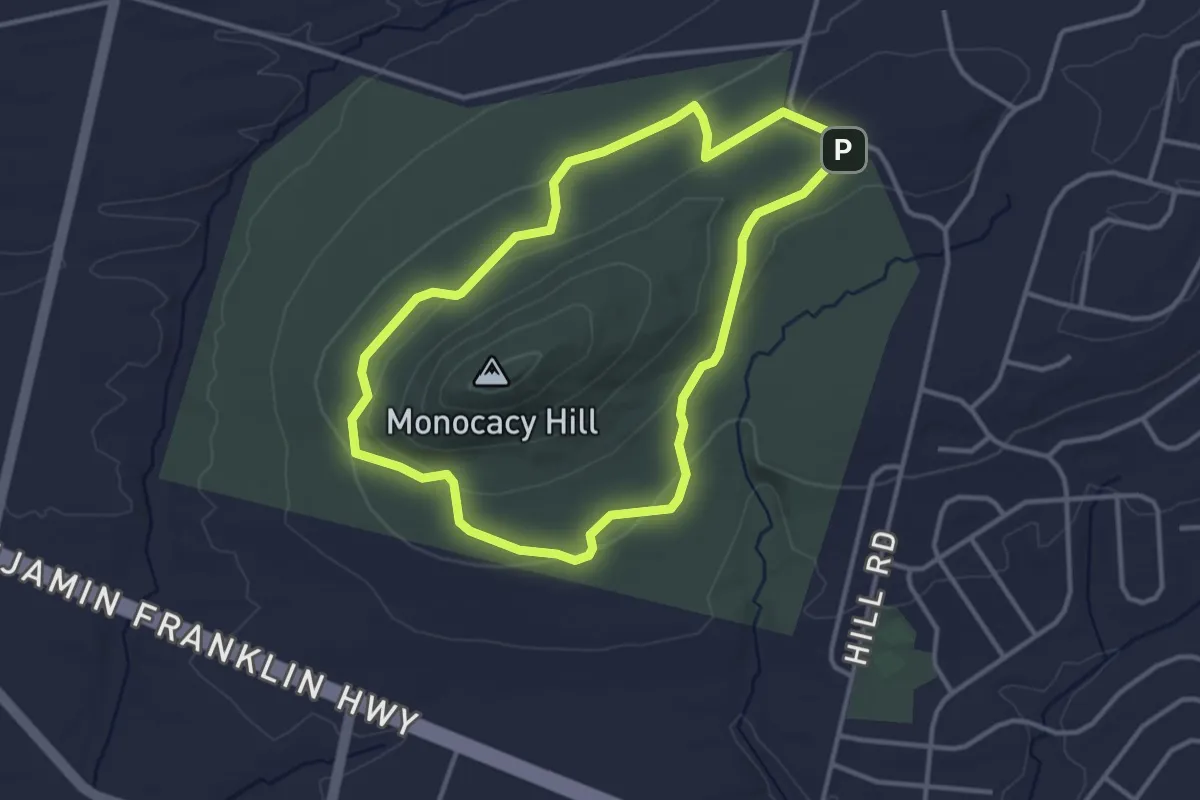
Easy · Trail
Lower Trail
3.6 km · ↑ 63 m · 1 h 3 min
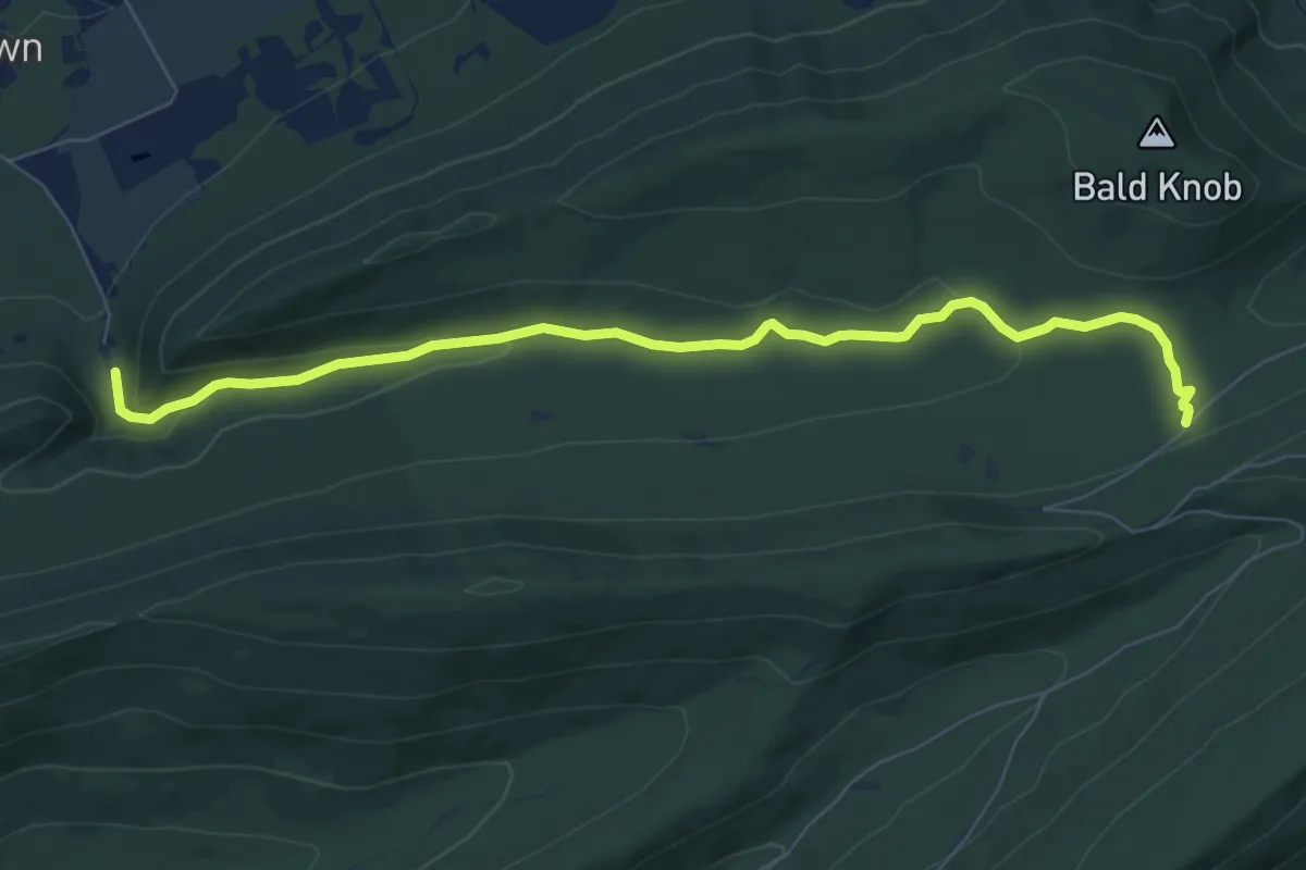
Medium · Trail
Lower Trail
8.9 km · ↑ 173 m · 2 h 28 min
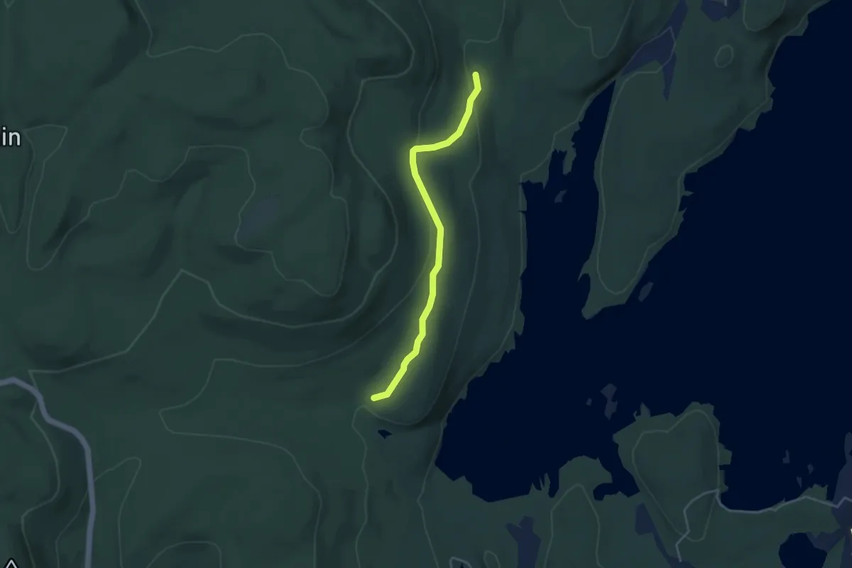
Easy · Trail
Lower Trail
4.1 km · ↑ 114 m · 1 h 13 min
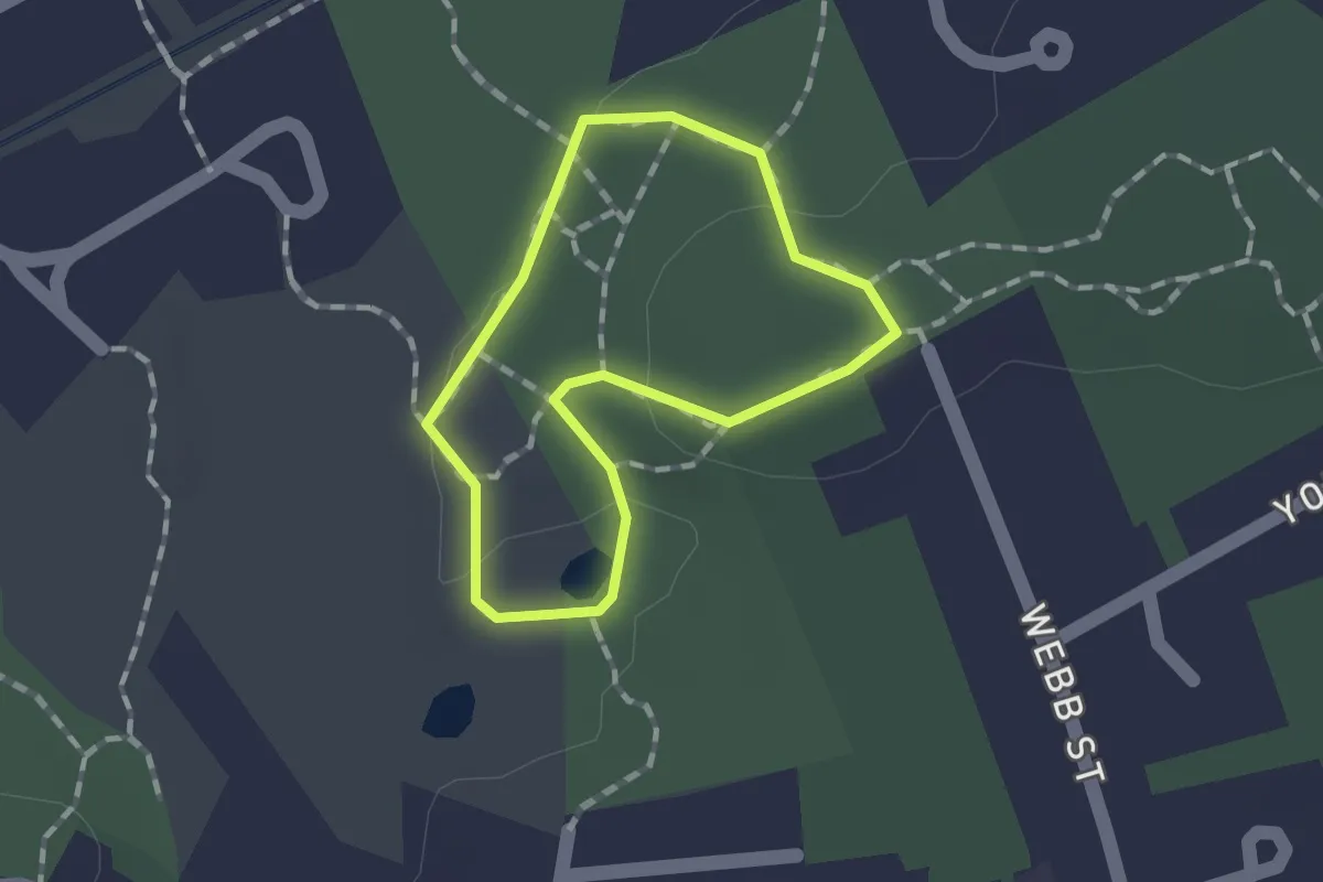
Easy · Trail
Lower Vine Brook Loop
1.1 km · ↑ 15 m · 18 min
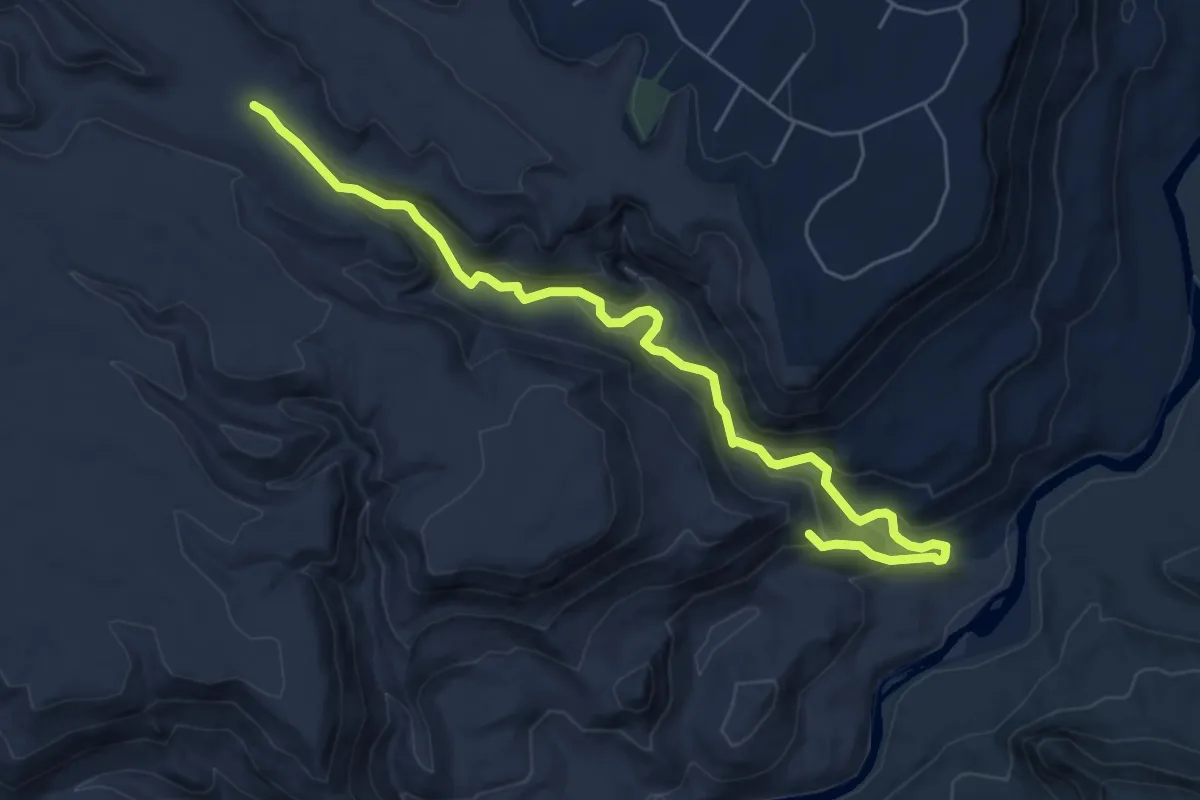
Demanding · Trail
Lower Water Canyon Bottom
7.6 km · ↑ 327 m · 2 h 30 min
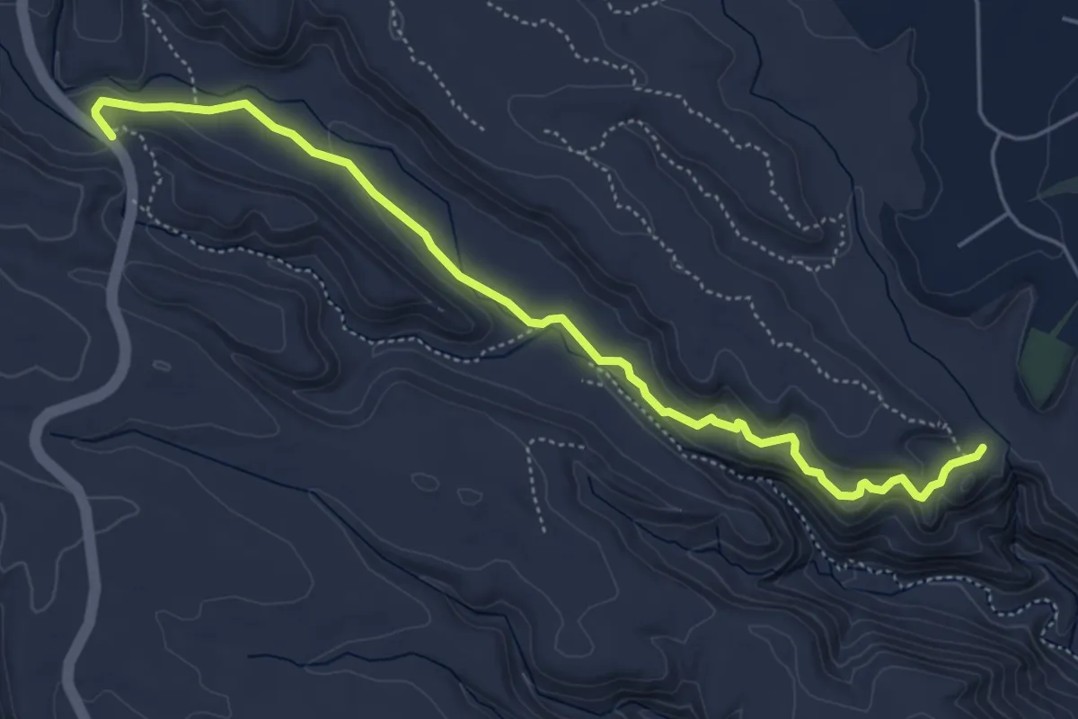
Easy · Trail
Lower Water Canyon Trail
6.6 km · ↑ 135 m · 1 h 52 min