Trails in United States
10,367 hiking trails, each with its route, climb, walking time and grade.
All trails, page 117 of 216
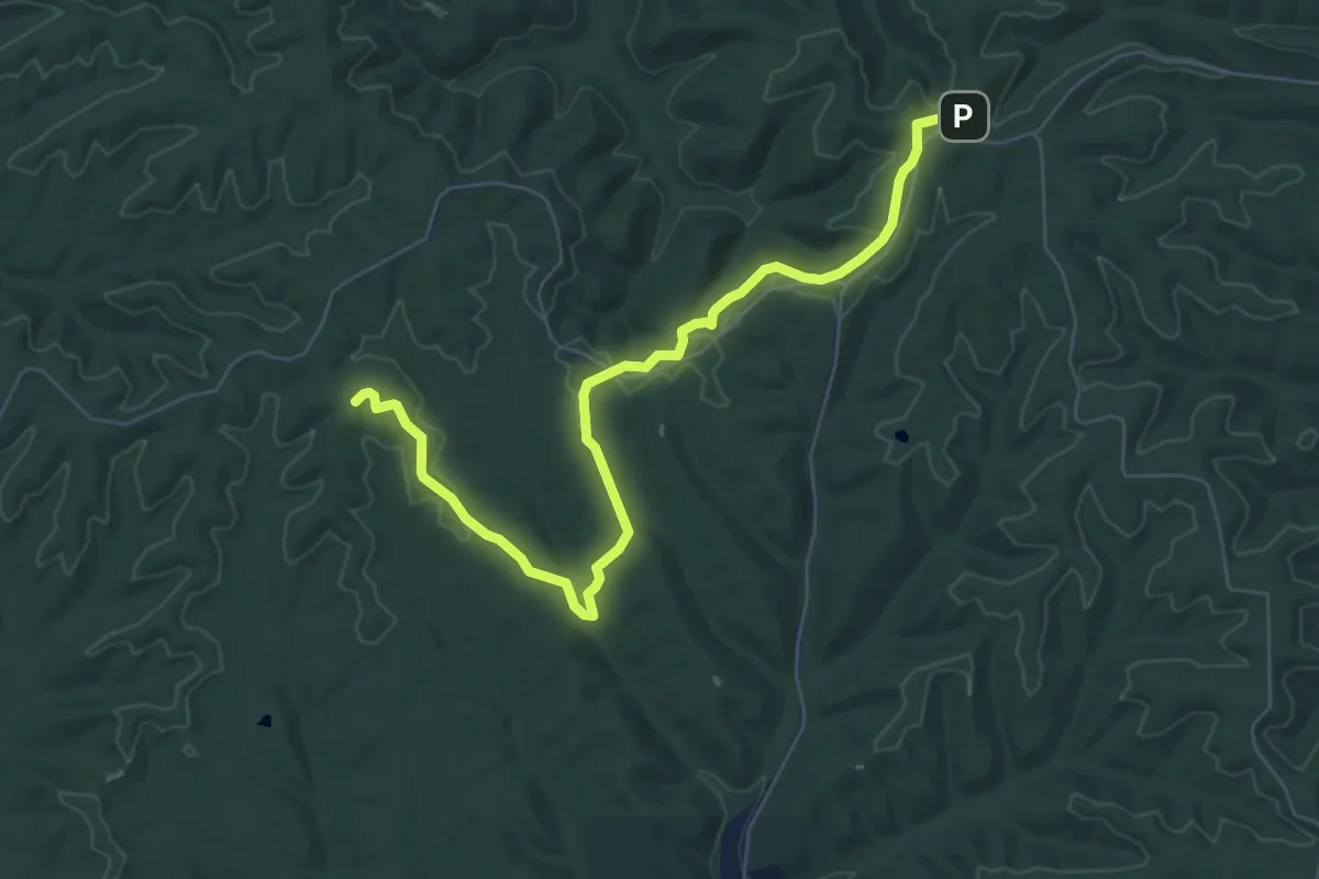
Medium · Trail
Martin Hollow Trail
8.2 km · ↑ 125 m · 2 h 12 min
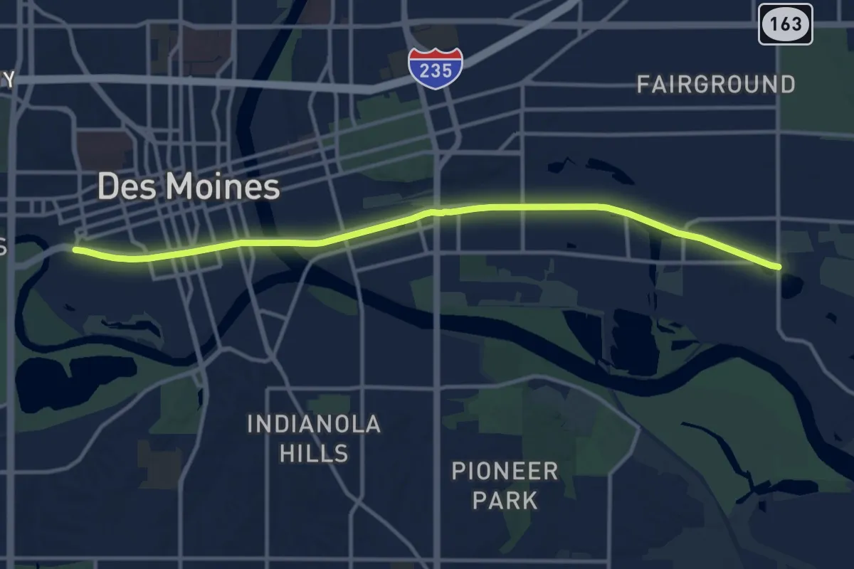
Medium · Trail
Martin Luther King Junior Trail
13.5 km · ↑ 10 m · 3 h 13 min
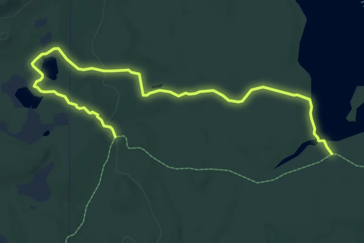
Medium · Trail
Martin Ponds Trail
8.2 km · ↑ 108 m · 2 h 10 min
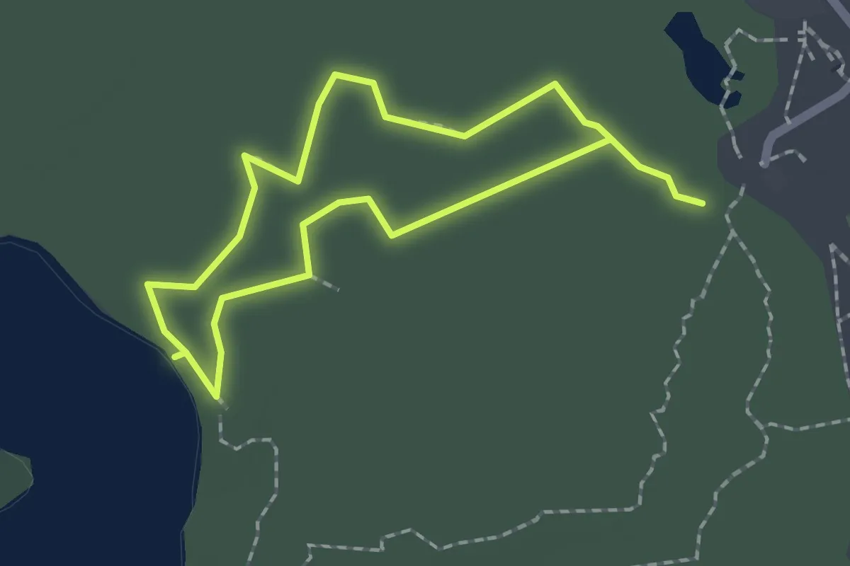
Easy · Trail
Martyn Trail
1.9 km · ↑ 0 m · 29 min
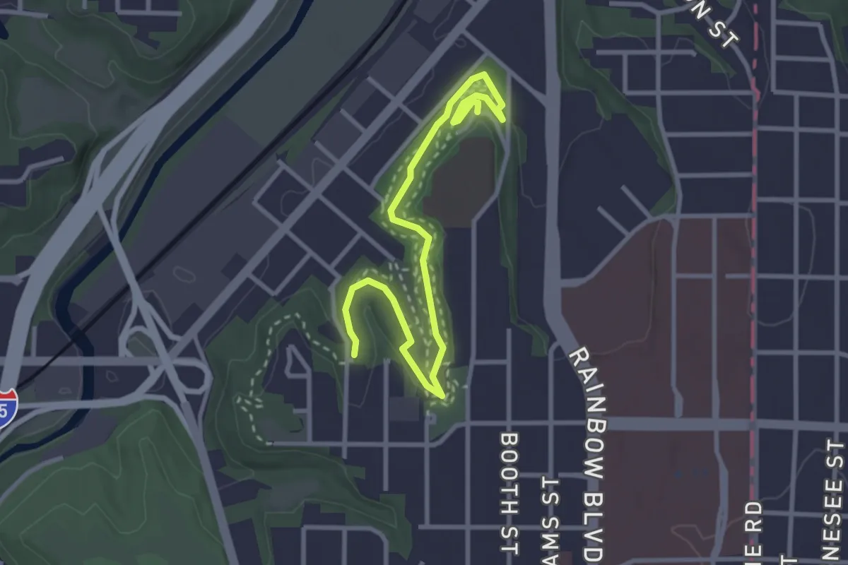
Easy · Trail
Marty's Woods
3.9 km · ↑ 70 m · 1 h 4 min
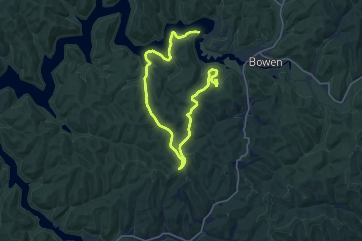
Medium · Trail
Mary Davis Trail
16.4 km · ↑ 298 m · 4 h 32 min
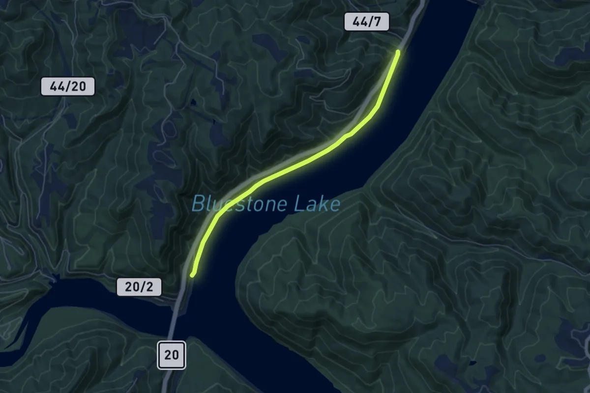
Easy · Trail
Mary Ingles Trail
6.3 km · ↑ 54 m · 1 h 36 min
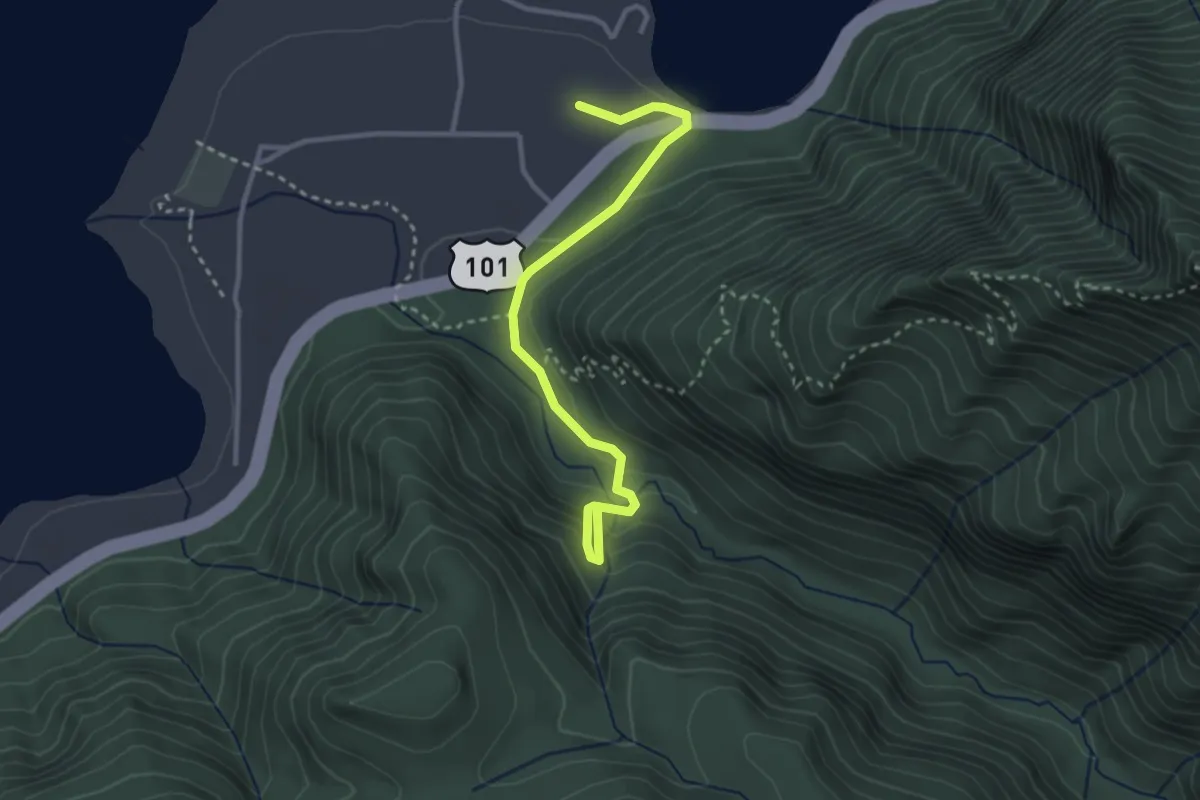
Easy · Trail
Marymere Falls Trail
3.0 km · ↑ 157 m · 1 h 3 min
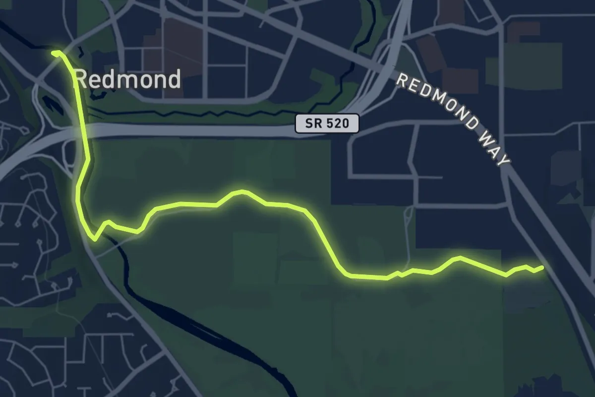
Easy · Trail
Marymoor Connector Trail
7.0 km · ↑ 9 m · 1 h 40 min
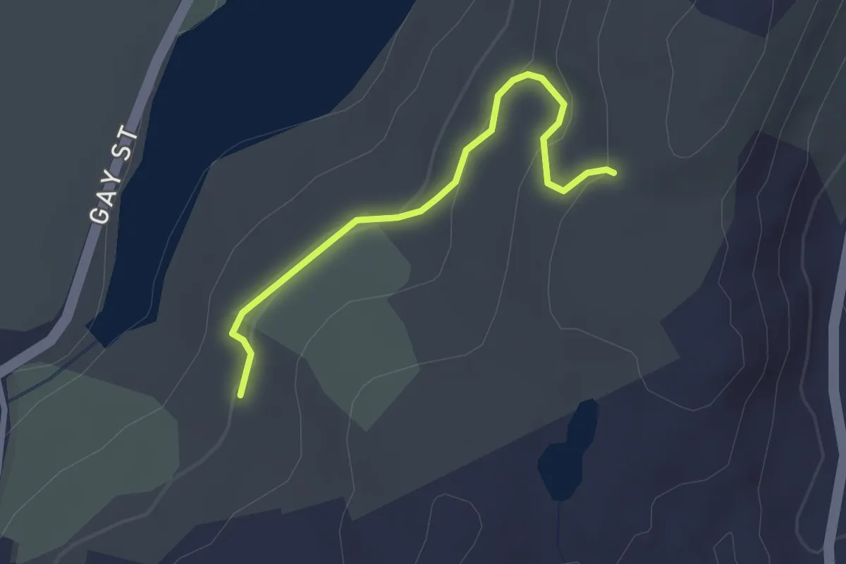
Easy · Trail
Mary Moore Cliff Trail
2.4 km · ↑ 82 m · 45 min
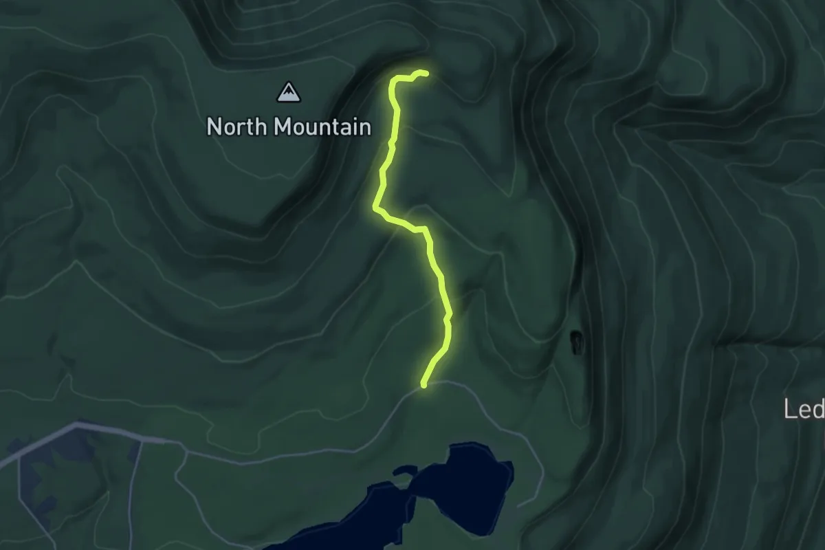
Easy · Trail
Mary's Glen Trail
4.1 km · ↑ 182 m · 1 h 21 min
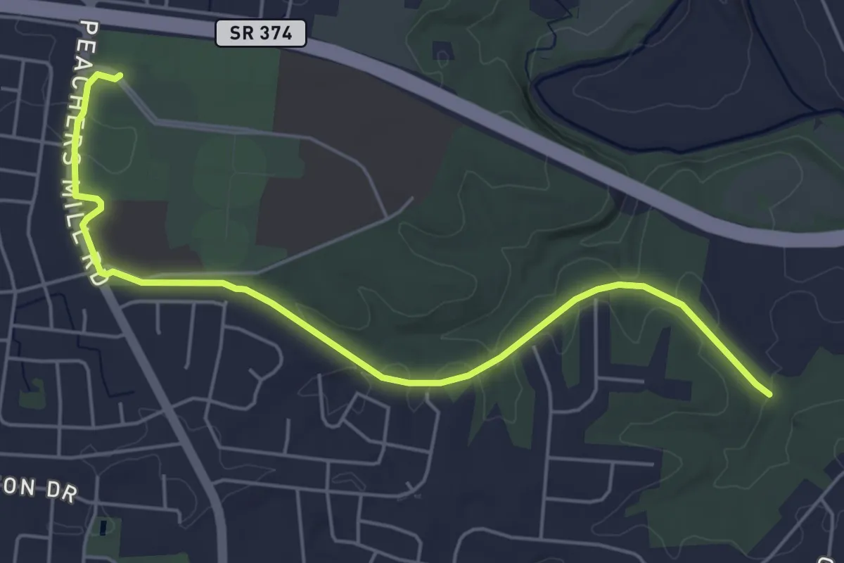
Easy · Trail
Marys Oak Trail
6.8 km · ↑ 88 m · 1 h 48 min
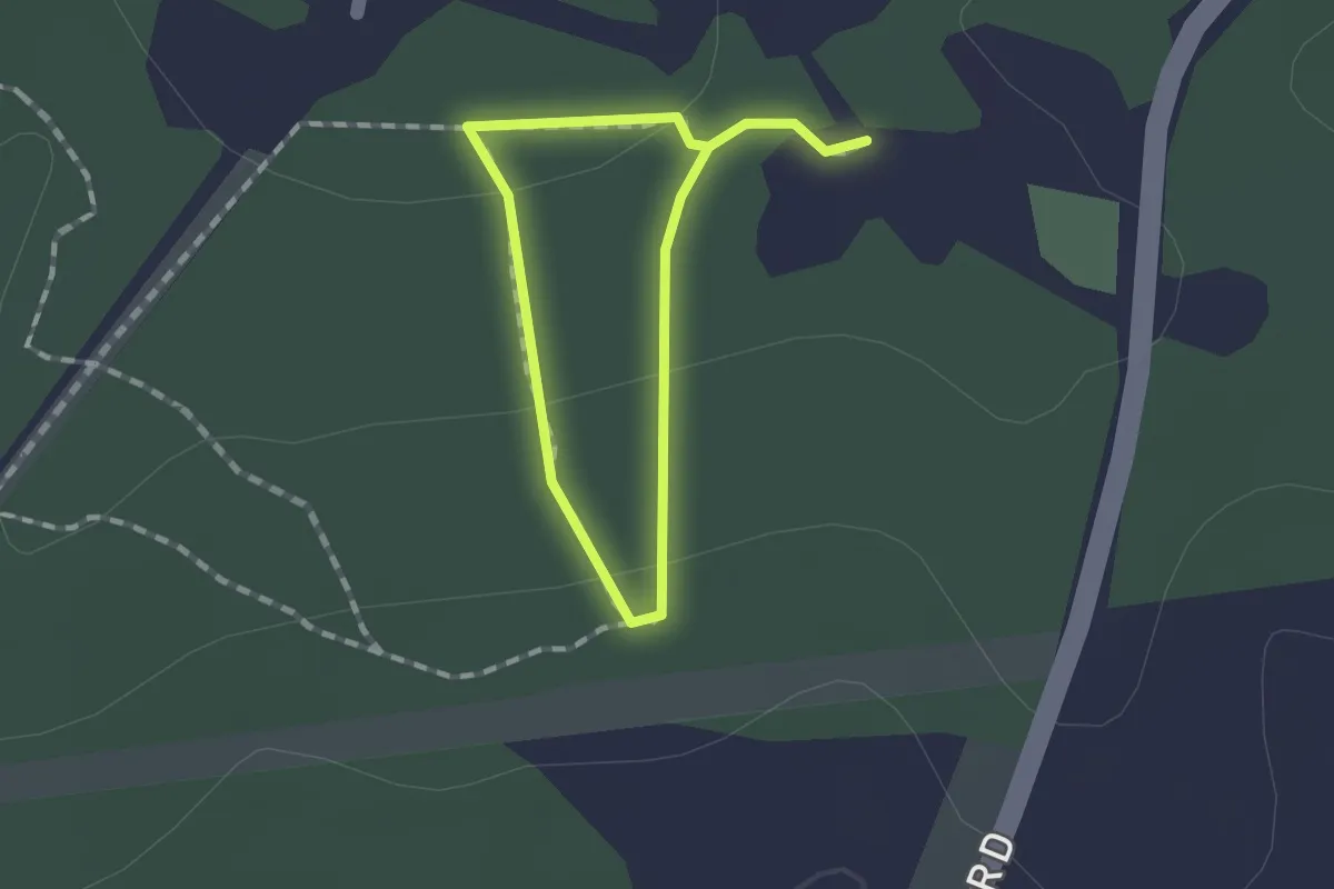
Easy · Trail
Mary's Path (Meshach Browning BLUE trail)
1.0 km · ↑ 20 m · 18 min
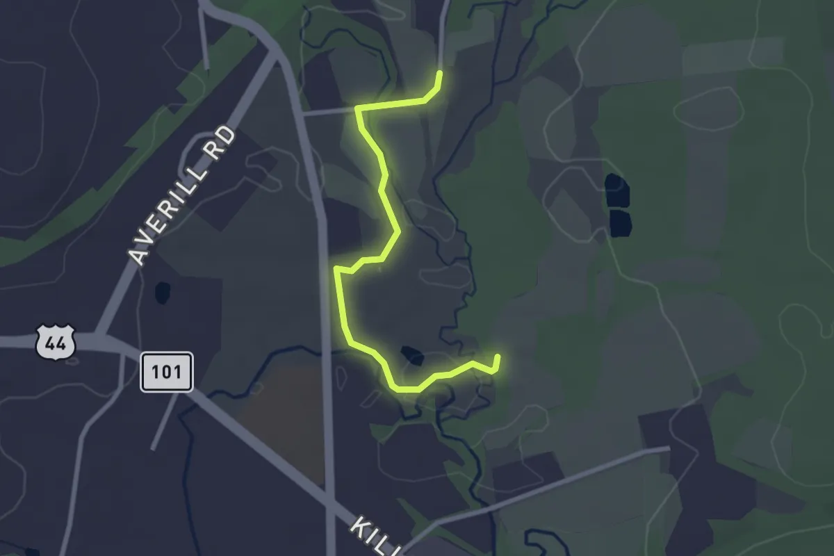
Easy · Trail
Mashamoquet Meadow Trail
2.7 km · ↑ 5 m · 39 min
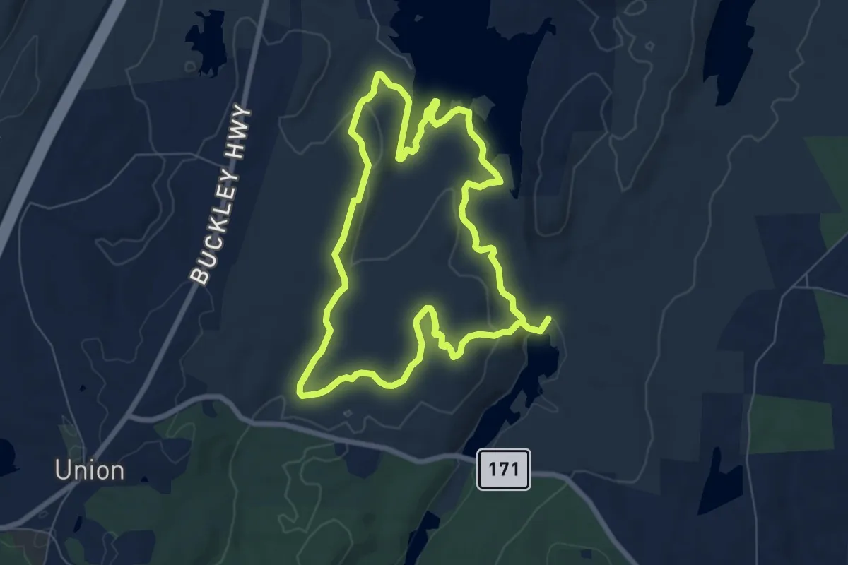
Easy · Trail
Mashapaug Pond View Trail
7.3 km · ↑ 180 m · 2 h 12 min
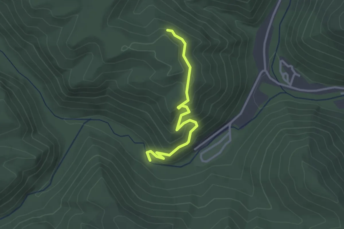
Easy · Trail
Mash Fork Falls Trail
2.9 km · ↑ 160 m · 1 h 2 min
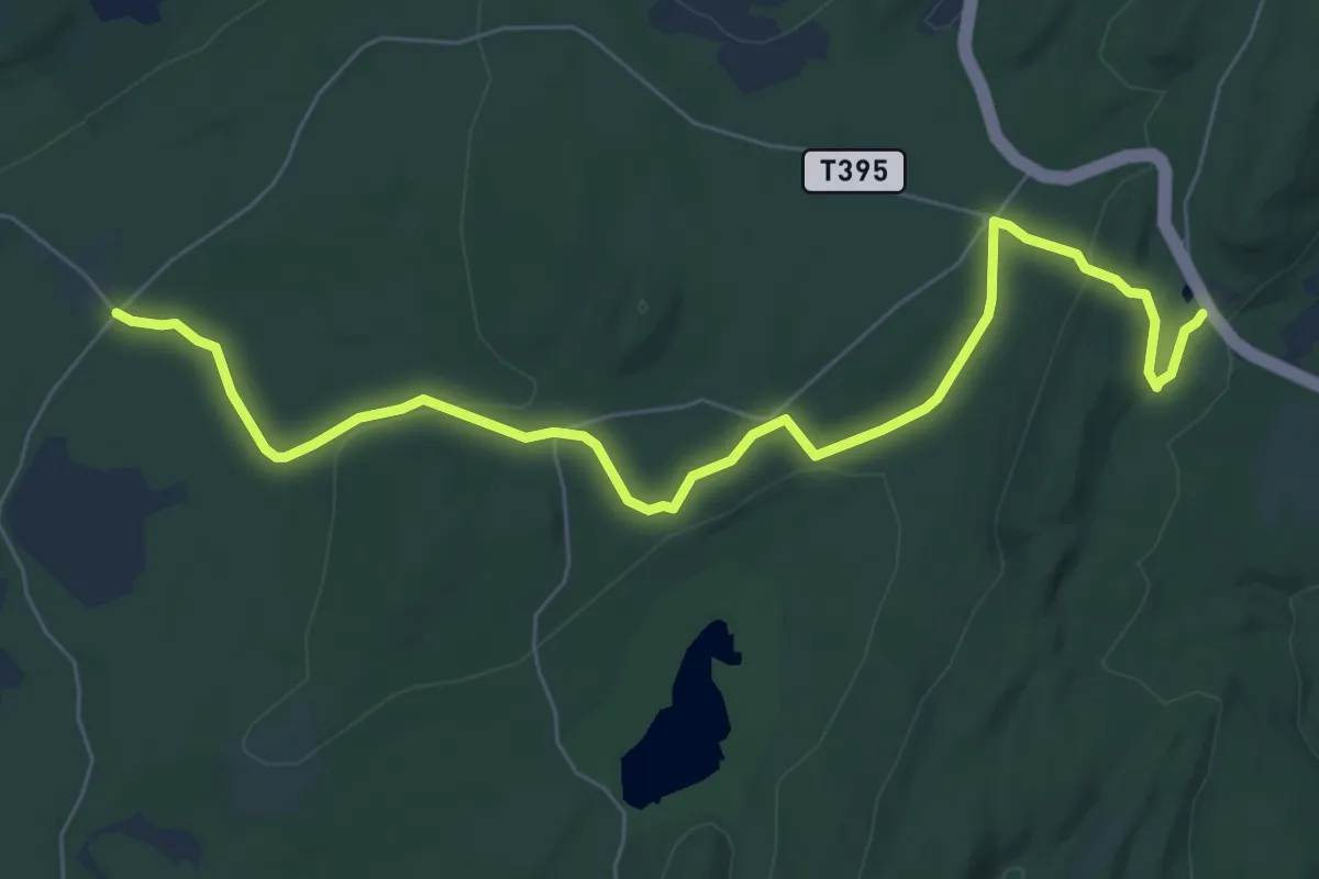
Medium · Trail
Mashipacong Trail
8.7 km · ↑ 156 m · 2 h 23 min
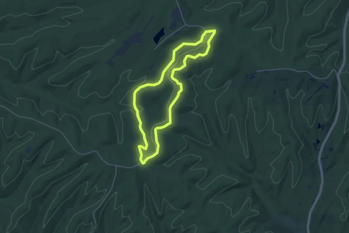
Easy · Trail
Mason Ridge Trail
4.4 km · ↑ 57 m · 1 h 13 min
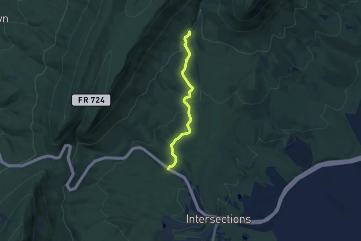
Easy · Trail
Massanutten Connector Trail
5.7 km · ↑ 191 m · 1 h 46 min
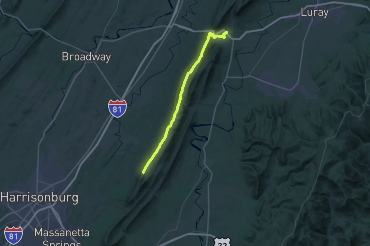
Demanding · Summit
Massanutten South Trail
49.4 km · ↑ 1868 m · 15 h 43 min
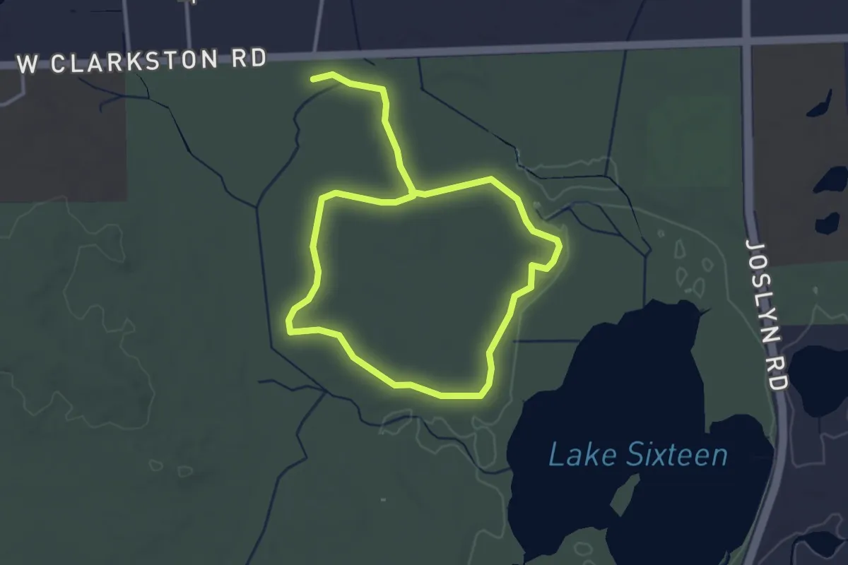
Easy · Trail
Massasauga Loop
5.7 km · ↑ 8 m · 1 h 22 min
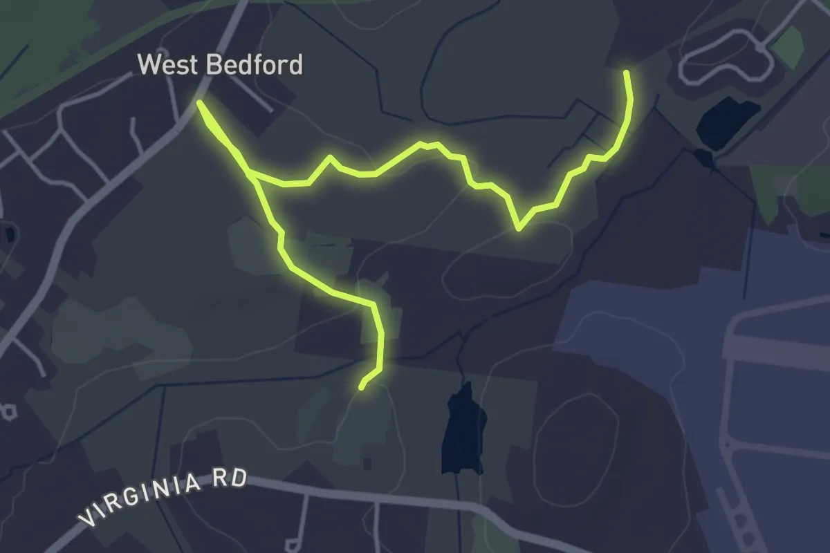
Easy · Trail
Massport Designated Trail
5.1 km · ↑ 22 m · 1 h 16 min
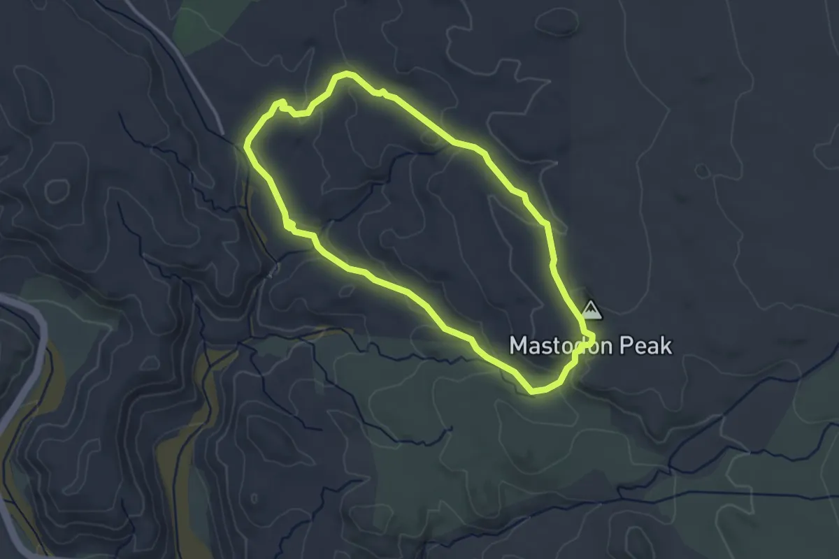
Easy · Summit
Mastodon Mine Loop Trail
3.7 km · ↑ 111 m · 1 h 10 min
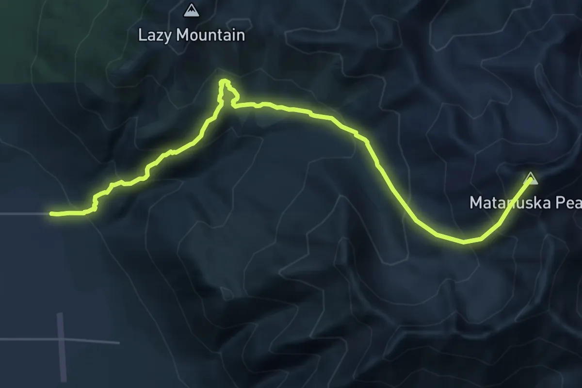
Demanding · Summit
Matanuska Peak Trail
17.6 km · ↑ 1834 m · 8 h 8 min
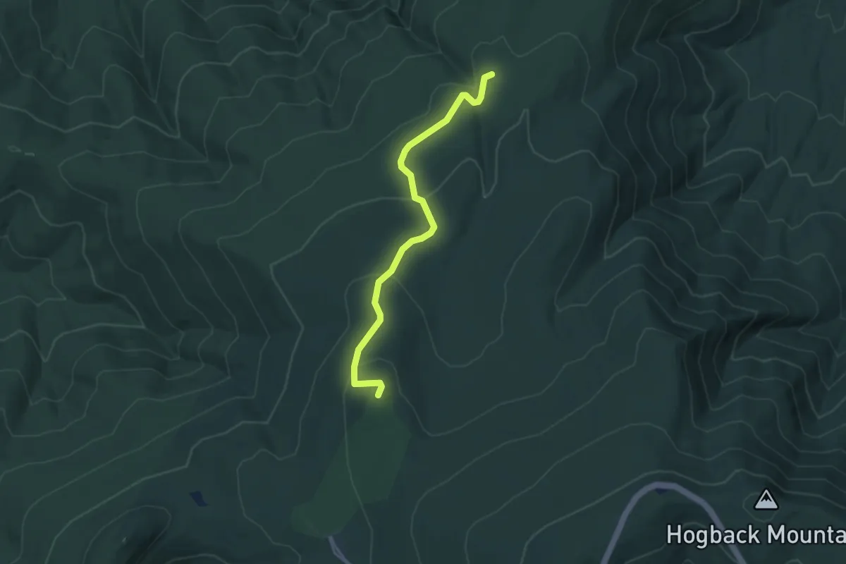
Easy · Trail
Mathews Arm Fire Road
4.4 km · ↑ 161 m · 1 h 23 min
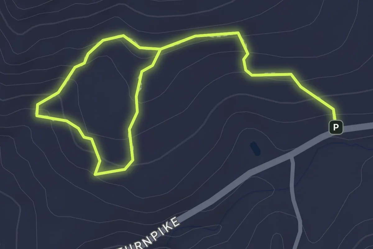
Easy · Trail
Matland Yellow Trail
3.2 km · ↑ 158 m · 1 h 6 min
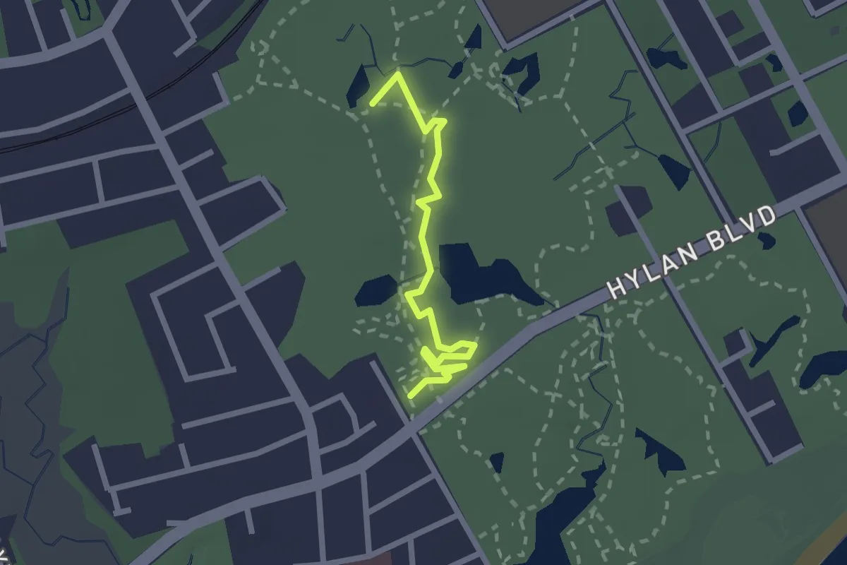
Easy · Trail
Mattera's Madness
2.3 km · ↑ 15 m · 34 min
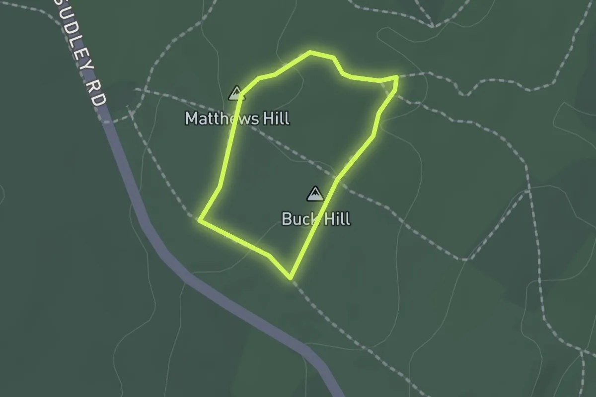
Easy · Summit
Matthews Hill Loop Trail
1.2 km · ↑ 9 m · 19 min
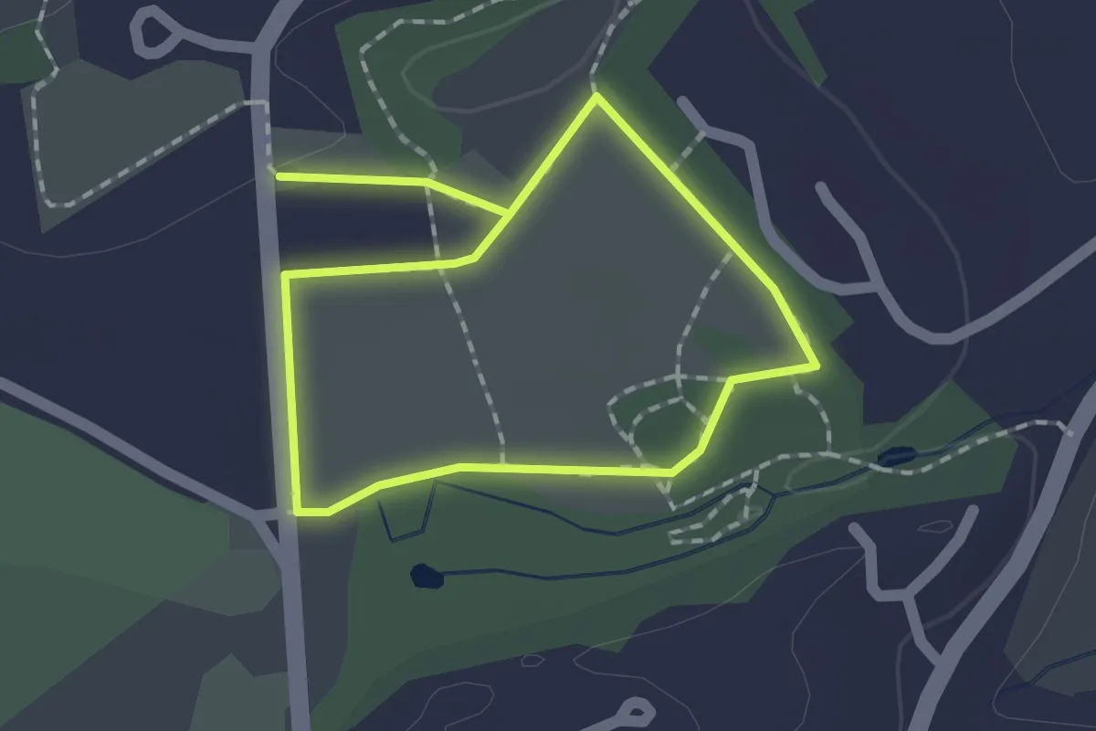
Easy · Trail
Mattison Field Trail yellow
2.9 km · ↑ 14 m · 42 min
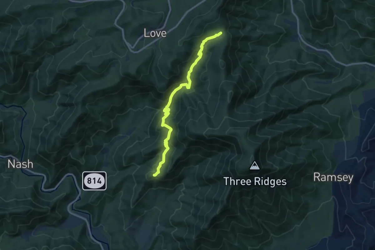
Medium · Trail
Mau-Har Trail
10.2 km · ↑ 630 m · 3 h 46 min
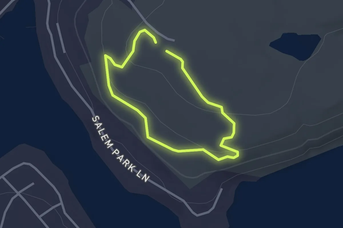
Easy · Trail
Maurice Broun Trail
2.0 km · ↑ 43 m · 36 min
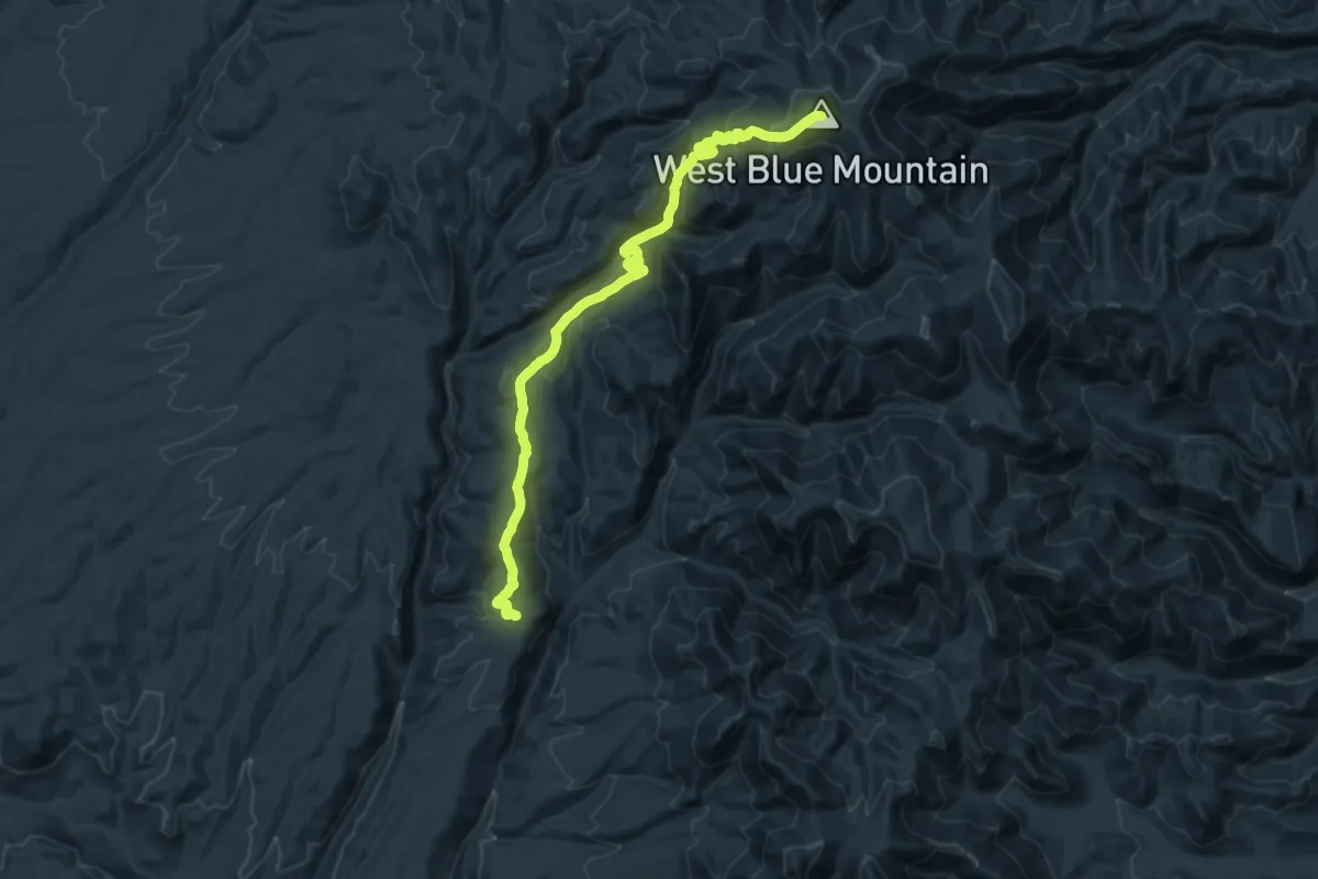
Demanding · Summit
Maverick Trail
25.6 km · ↑ 1415 m · 9 h 7 min
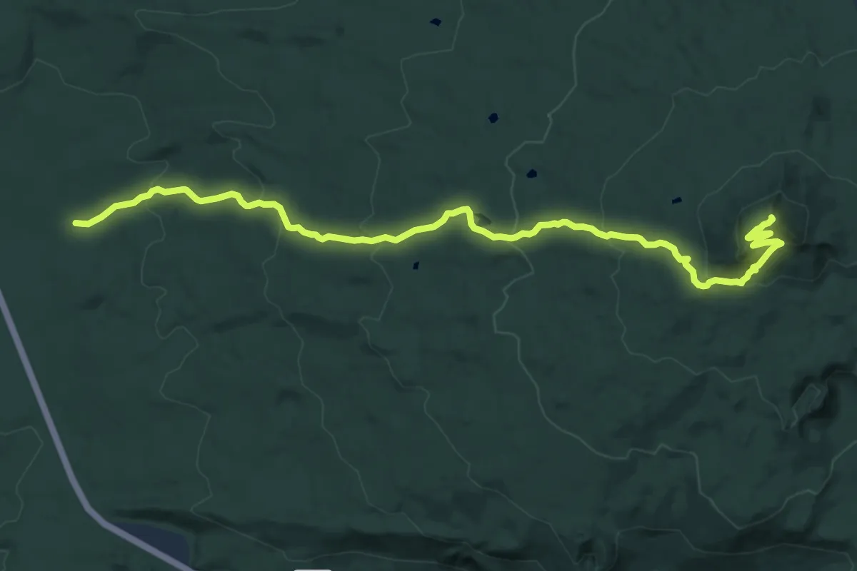
Medium · Summit
Maxwell Butte Trail
14.8 km · ↑ 745 m · 5 h 6 min
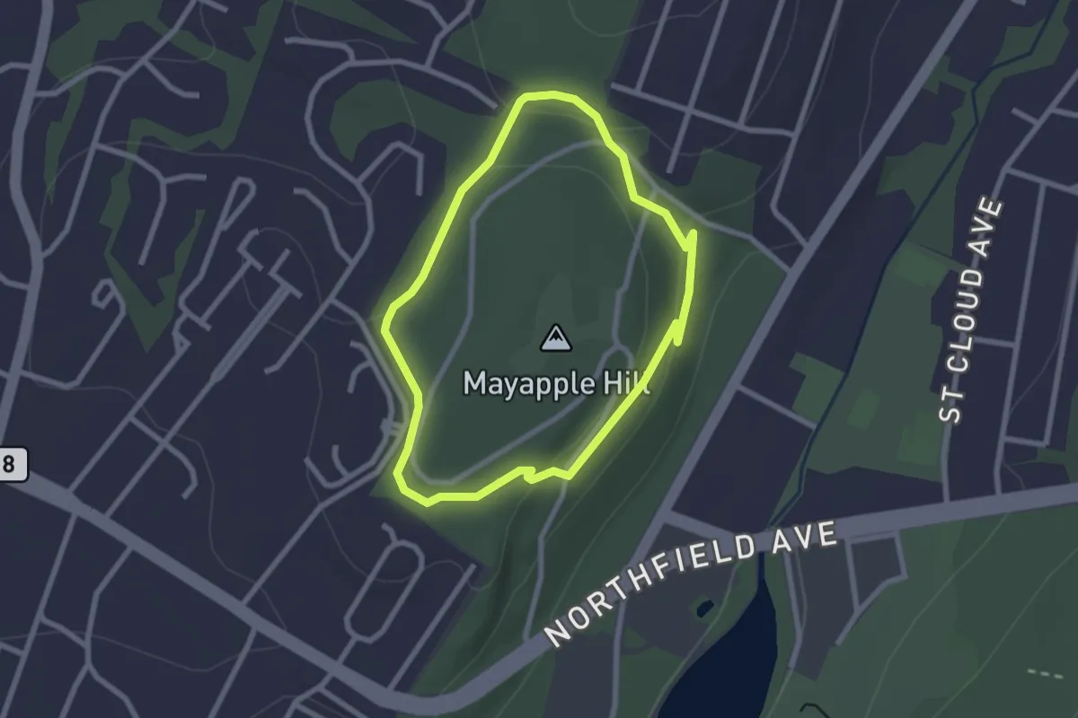
Easy · Trail
Mayapple Trail
2.4 km · ↑ 53 m · 43 min
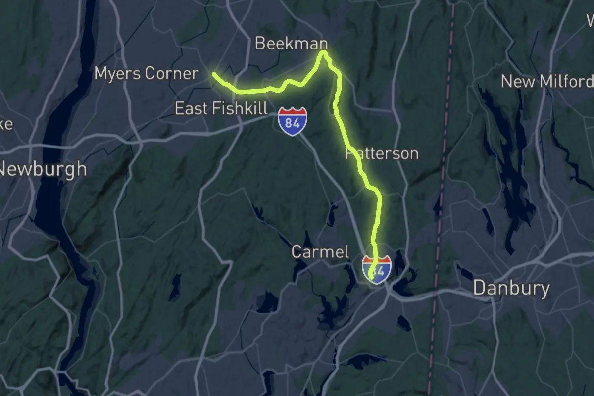
Demanding · Trail
Maybrook Trailway - hiking - Putnam Trailway to Hopewell Junction
38.4 km · ↑ 156 m · 9 h 57 min
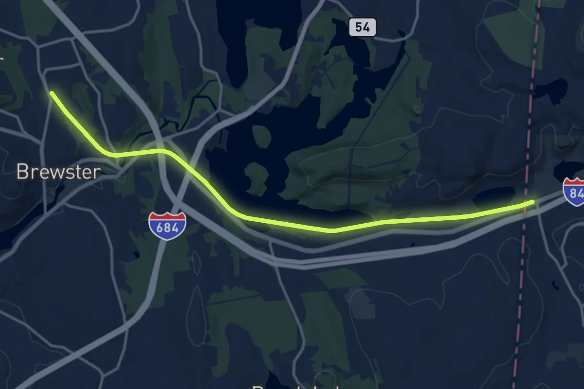
Medium · Trail
Maybrook Trailway (Putnam Trailway - CT Border)
14.3 km · ↑ 107 m · 3 h 37 min
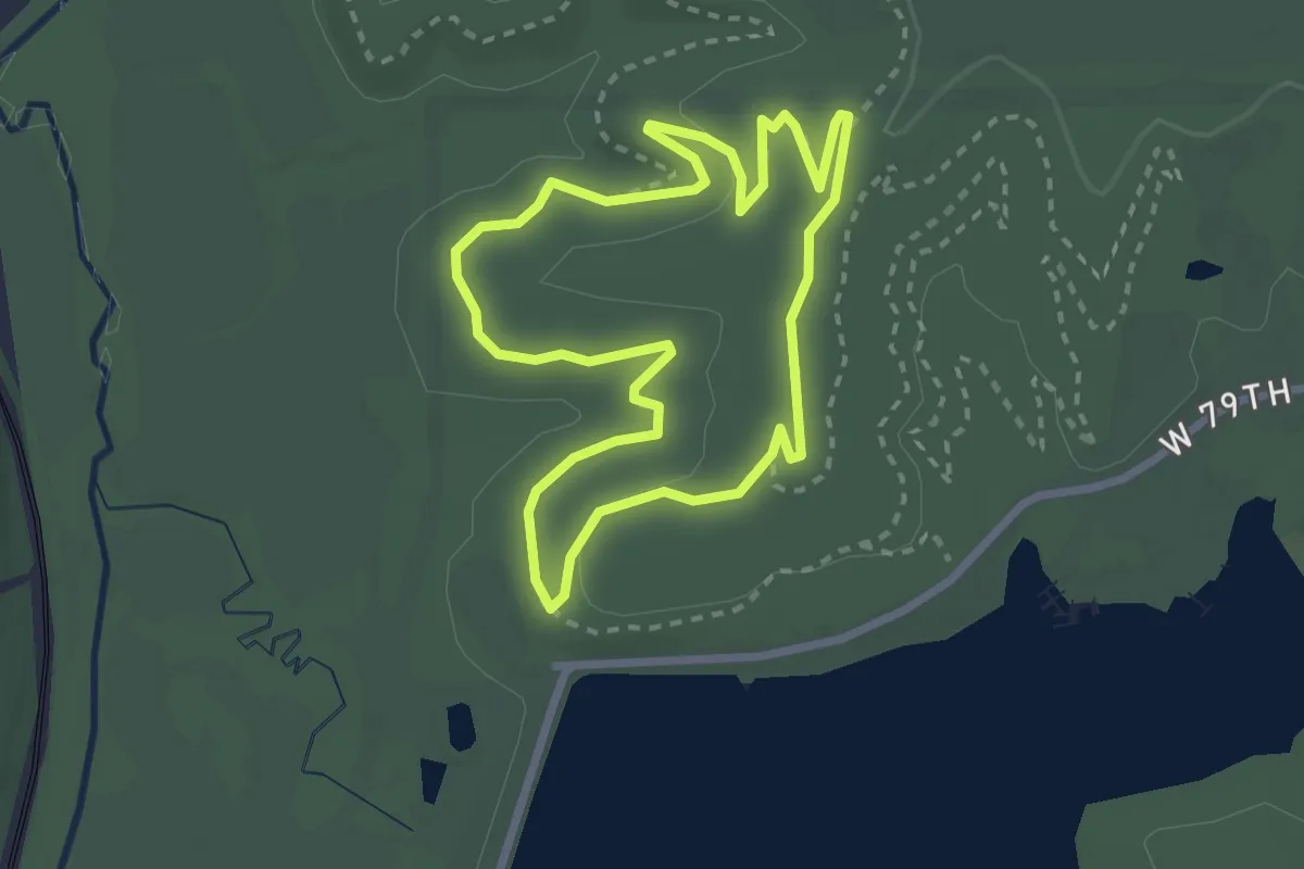
Medium · Trail
Mayhem
2.9 km · ↑ 37 m · 49 min
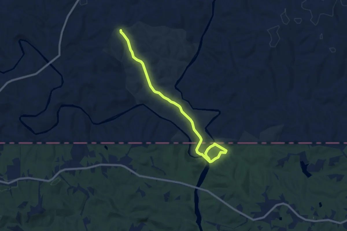
Medium · Trail
Mayo River Trail
8.5 km · ↑ 165 m · 2 h 22 min
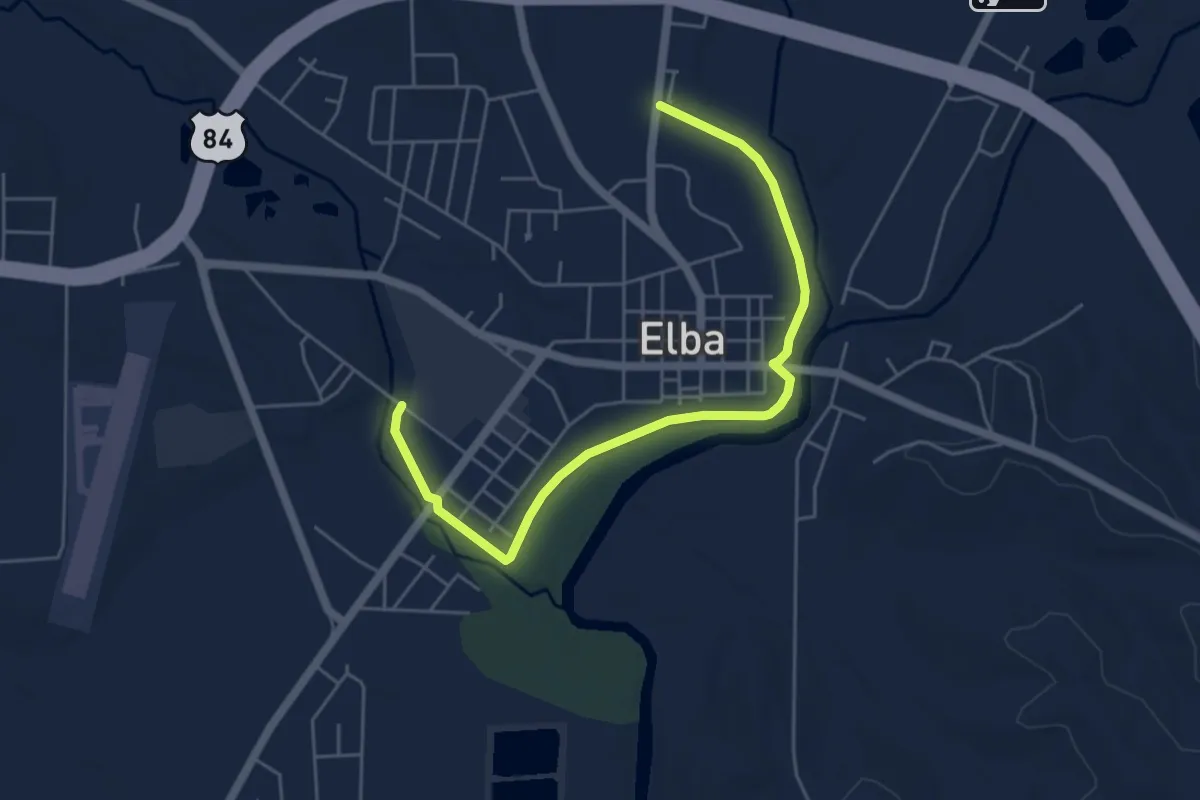
Easy · Trail
Mayor James E. Grimes River Walk
7.0 km · ↑ 10 m · 1 h 40 min
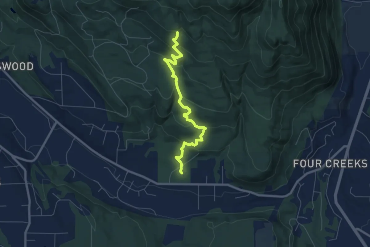
Easy · Trail
May Valley Loop
5.9 km · ↑ 296 m · 2 h 3 min
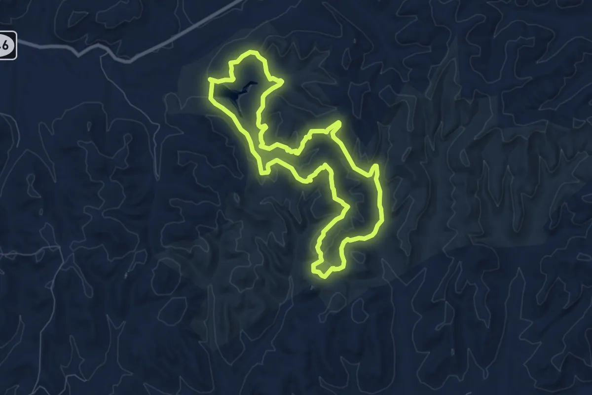
Medium · Trail
Maywoods big loop
8.9 km · ↑ 309 m · 2 h 54 min
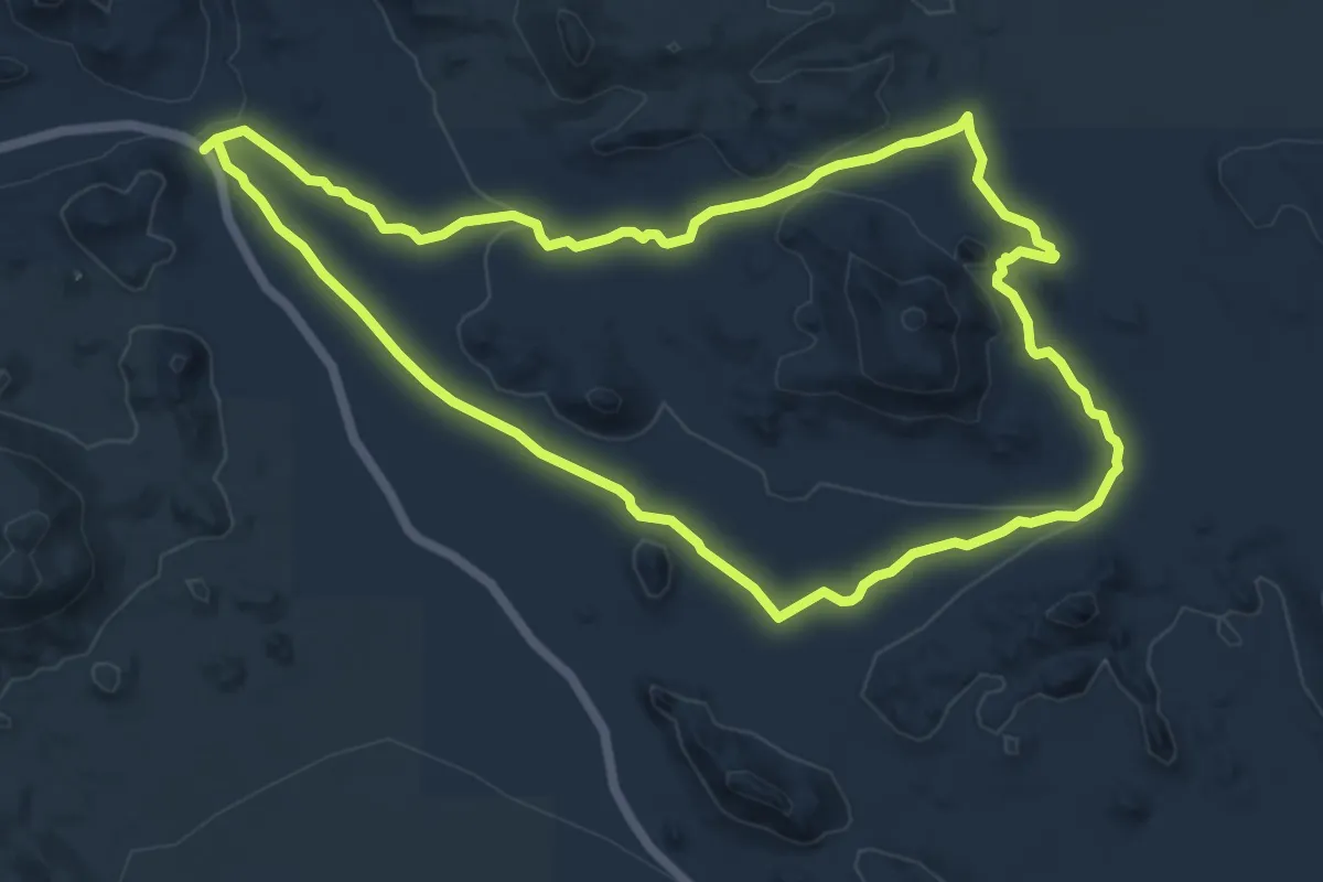
Easy · Trail
Maze Loop Trail
7.8 km · ↑ 116 m · 2 h 12 min
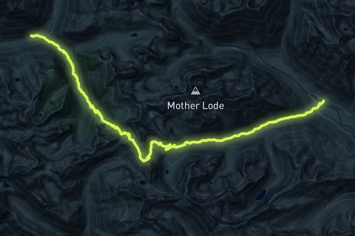
Demanding · Trail
McAlester Lake Trail
22.9 km · ↑ 880 m · 7 h 42 min
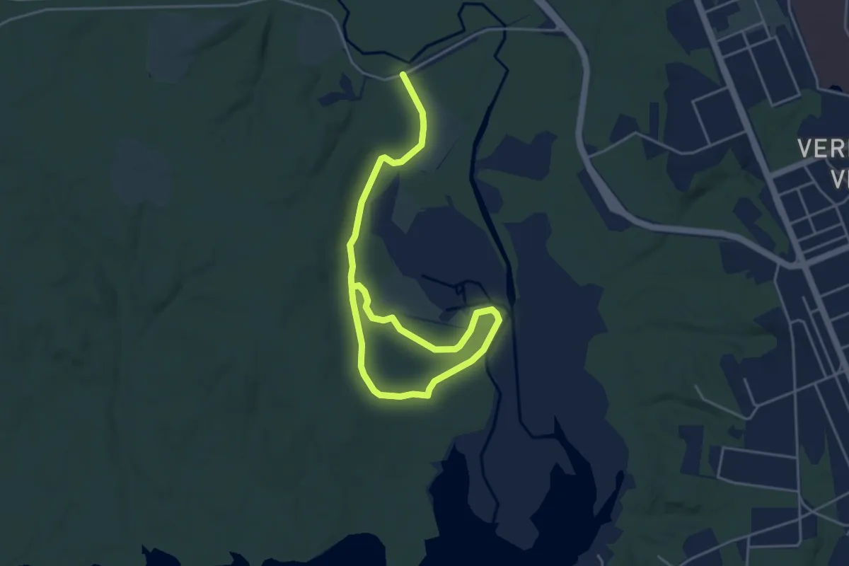
Easy · Trail
McCarthy Loop Trail
6.6 km · ↑ 26 m · 1 h 36 min
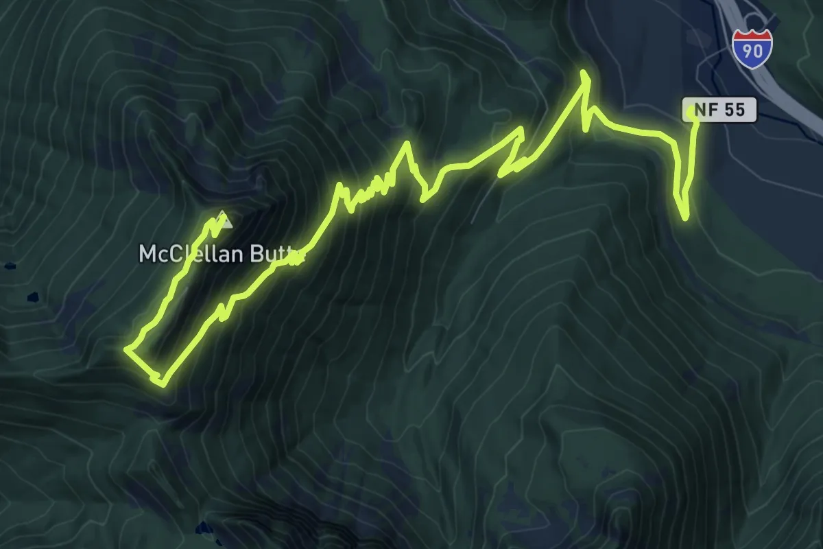
Demanding · Summit
McClellan Butte Trail
16.8 km · ↑ 1191 m · 6 h 33 min
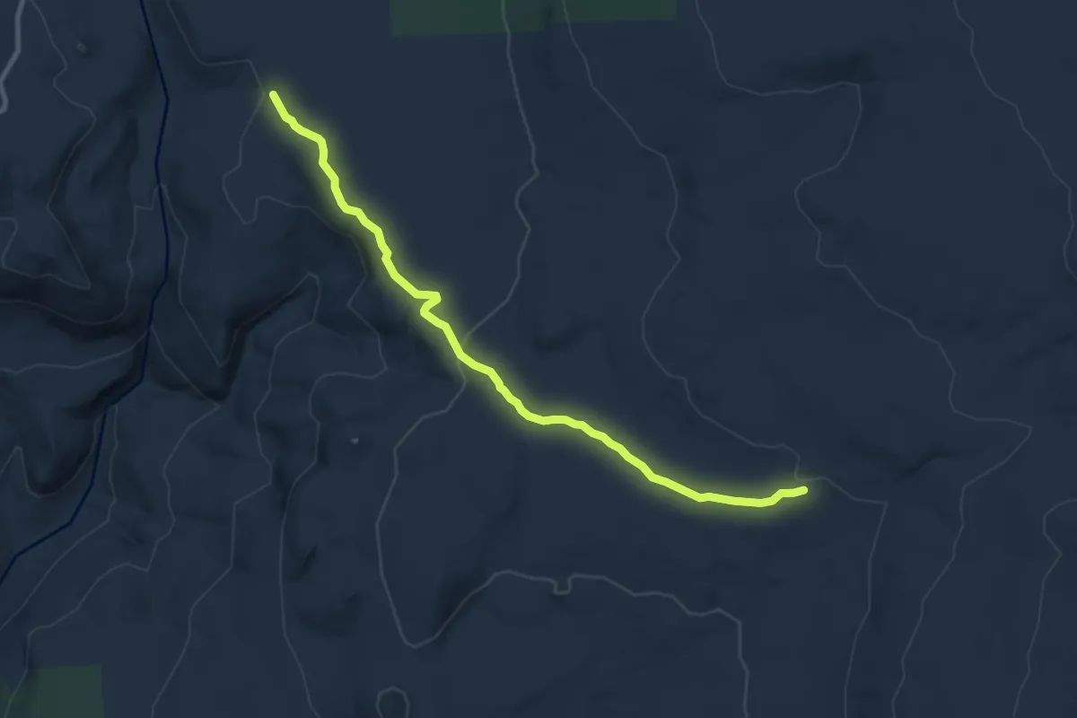
Medium · Trail
McClellan Meadows Trail #157
9.6 km · ↑ 211 m · 2 h 43 min
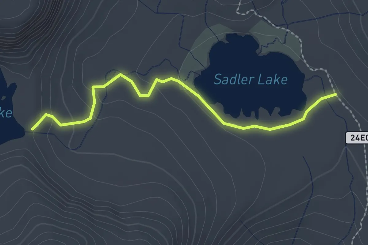
Easy · Trail
McClure Lake Trail
2.6 km · ↑ 65 m · 46 min
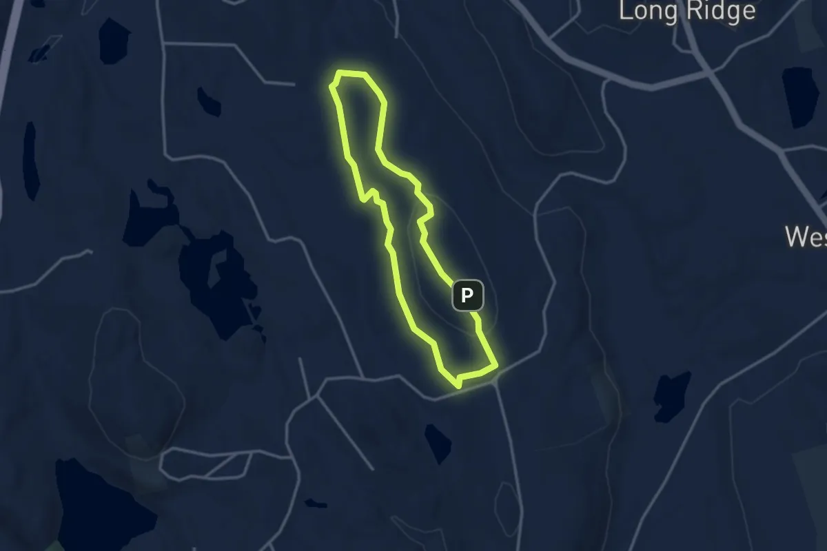
Easy · Summit
McCormack Blue Trail
3.0 km · ↑ 60 m · 52 min