Trails in United States
10,367 hiking trails, each with its route, climb, walking time and grade.
All trails, page 122 of 216
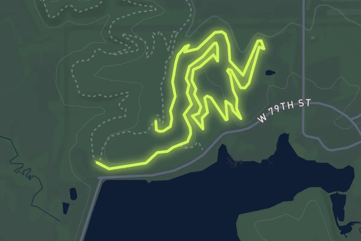
Medium · Trail
Mischief
8.4 km · ↑ 40 m · 2 h 4 min
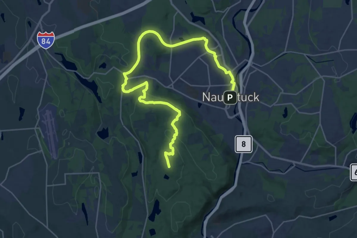
Demanding · Summit
Mission 22 Trail
28.8 km · ↑ 518 m · 7 h 55 min
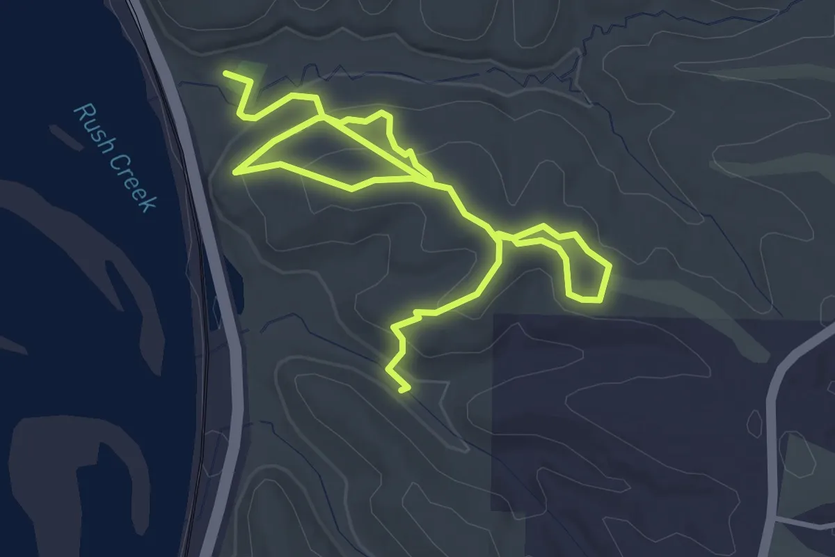
Medium · Trail
Mississippi Palisades State Park Trails south
5.7 km · ↑ 195 m · 1 h 46 min
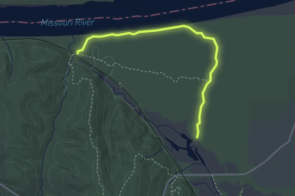
Easy · Trail
Missouri Trail
3.5 km · ↑ 4 m · 50 min
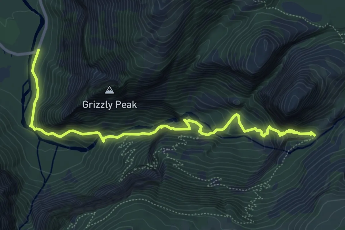
Medium · Trail
Mist Trail
8.1 km · ↑ 762 m · 3 h 34 min
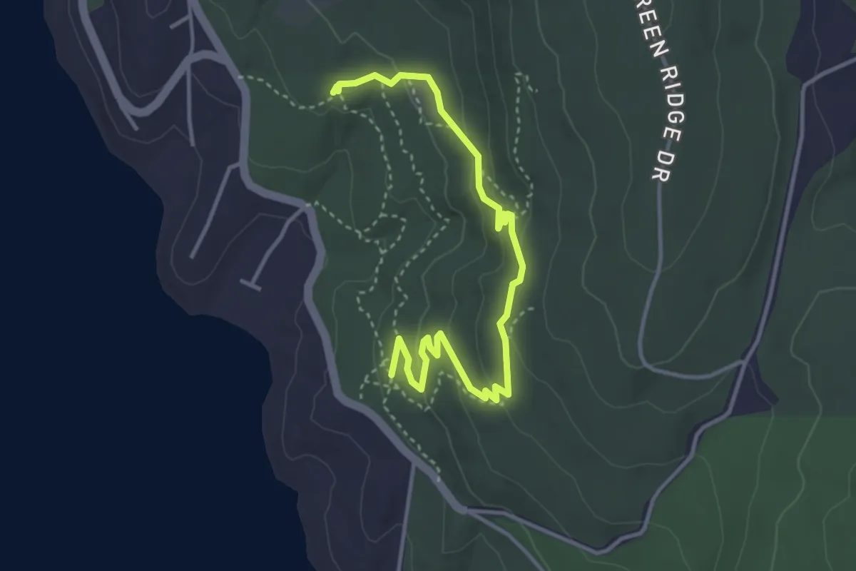
Easy · Trail
Misty Mountain Trail
4.0 km · ↑ 142 m · 1 h 16 min
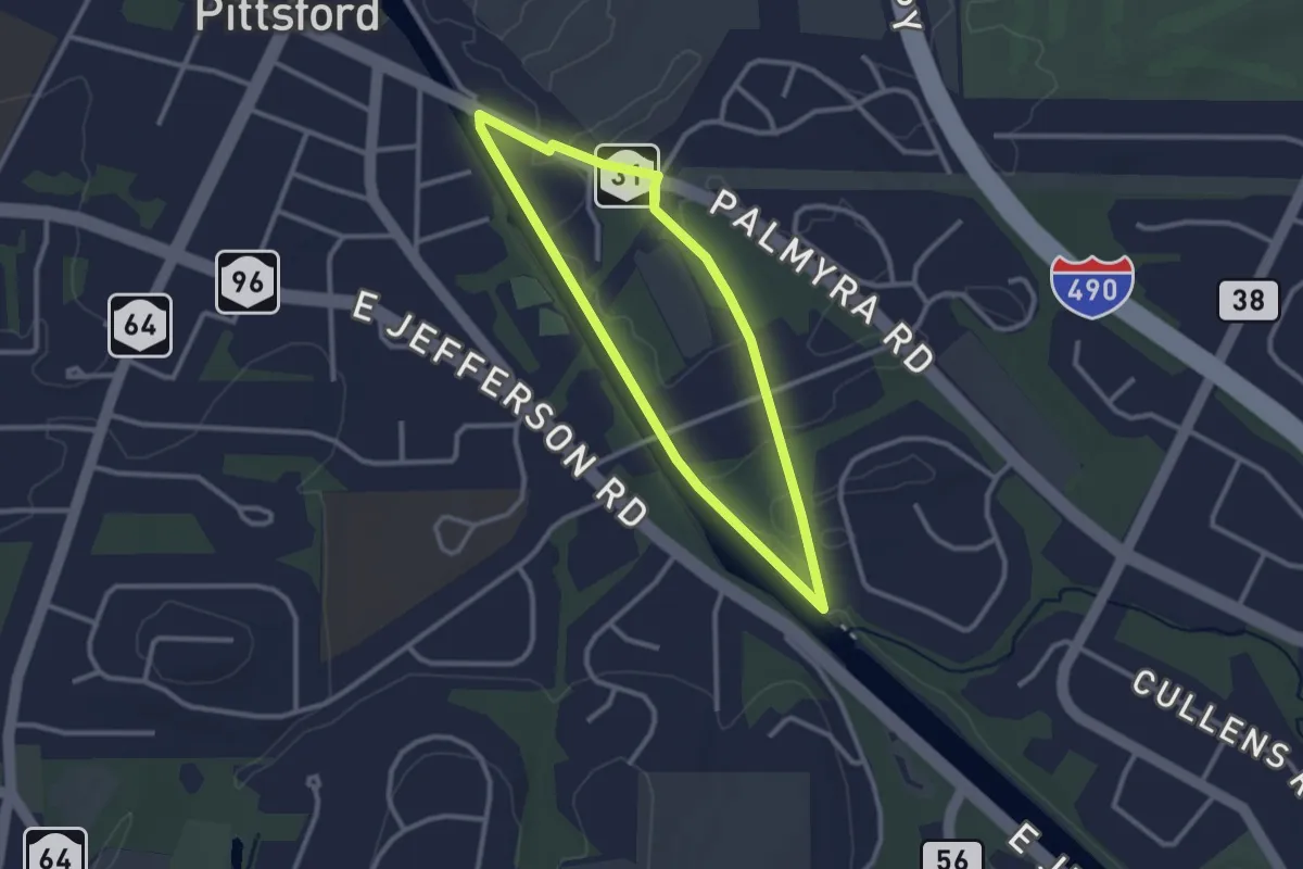
Easy · Trail
Mitchell Loop
2.6 km · ↑ 9 m · 41 min
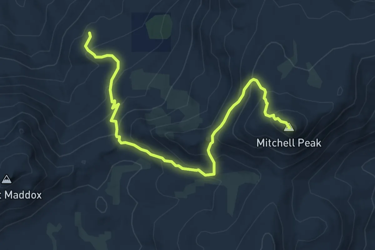
Medium · Summit
Mitchell Peak Trail
9.2 km · ↑ 599 m · 3 h 28 min
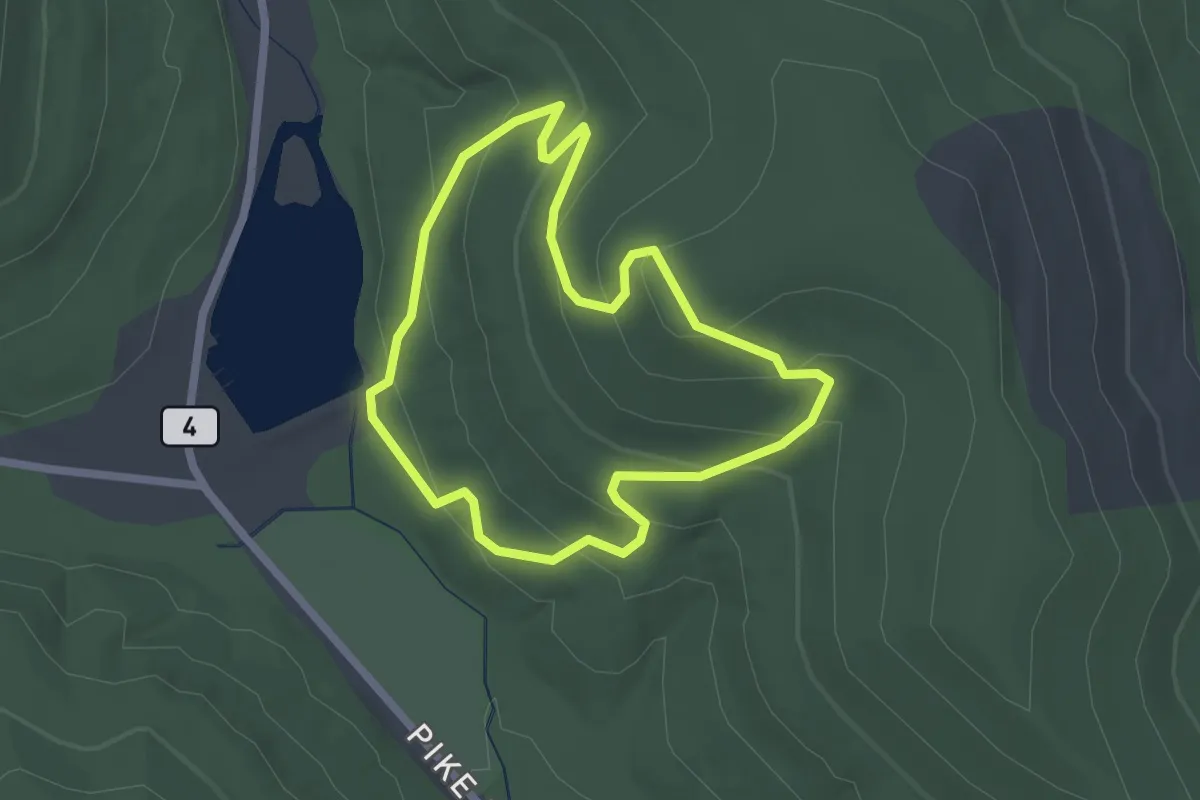
Easy · Trail
Mitchell Ridge Trail
2.2 km · ↑ 137 m · 51 min
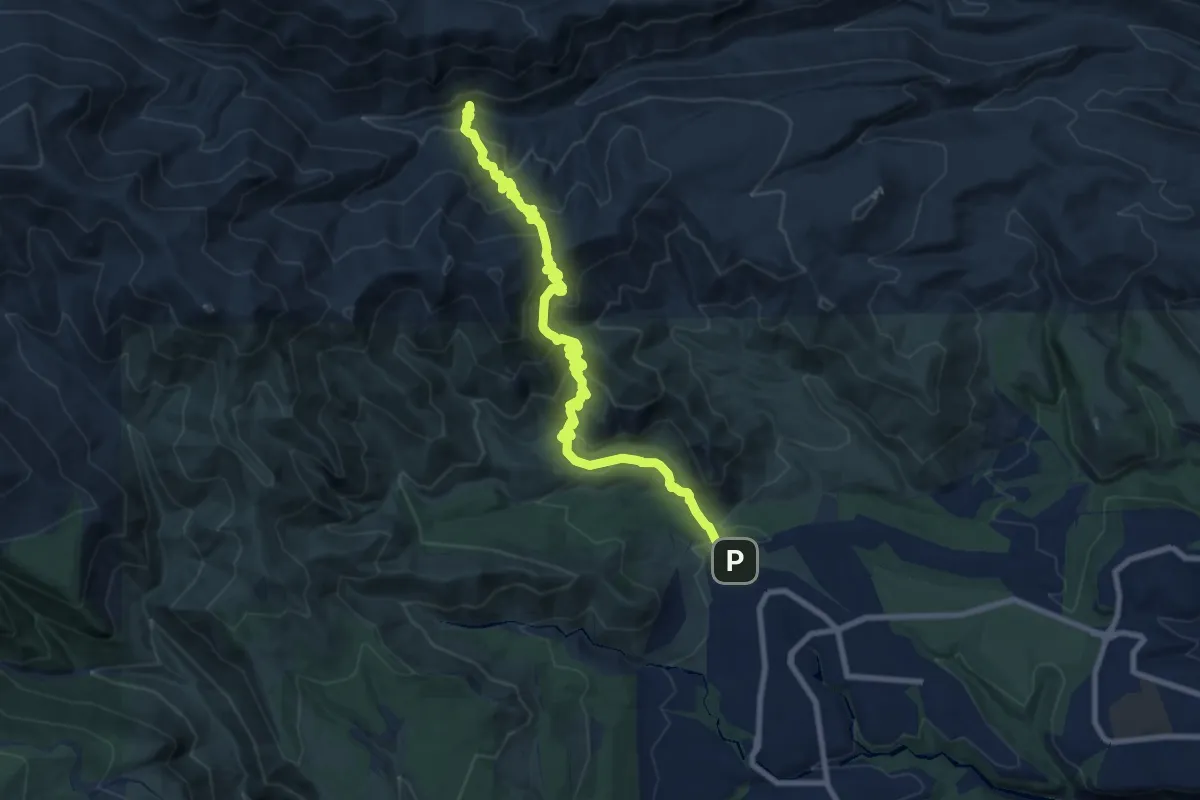
Medium · Trail
Mitchell Trail
11.8 km · ↑ 782 m · 4 h 29 min
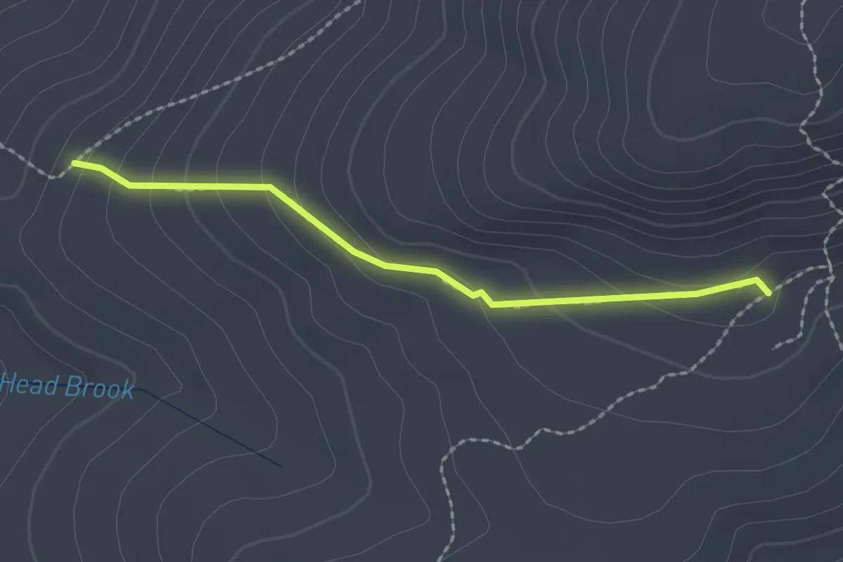
Easy · Cabin
Mizpah Cutoff
2.0 km · ↑ 105 m · 42 min
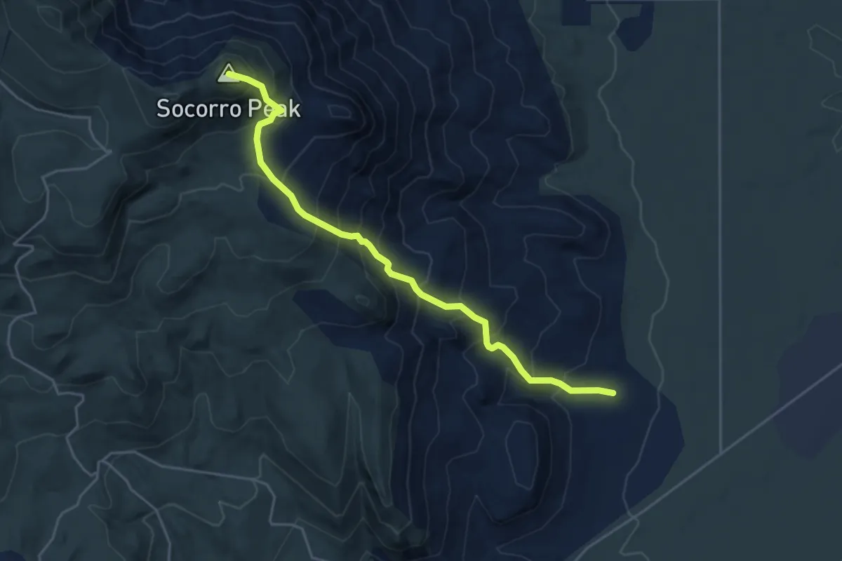
Medium · Summit
M Mountain Run
5.5 km · ↑ 695 m · 2 h 48 min
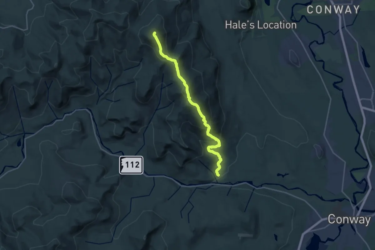
Demanding · Summit
Moat Mountain Trail
15.4 km · ↑ 1083 m · 5 h 58 min
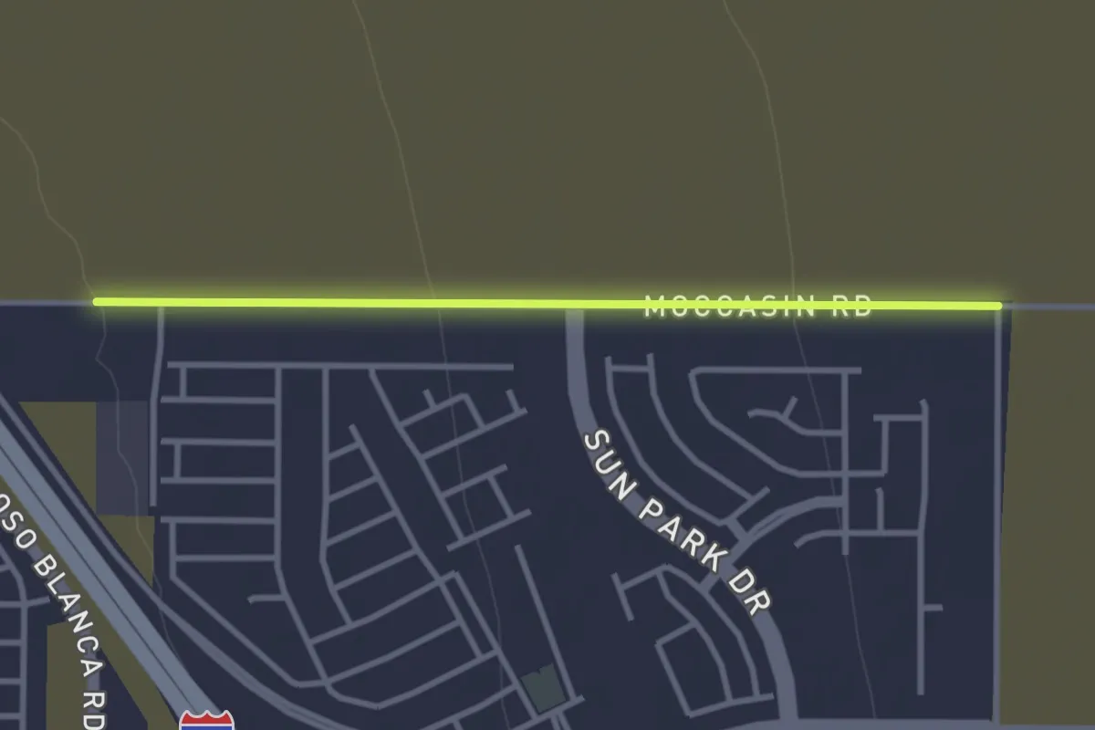
Easy · Trail
Moccasin Walking Trail
3.5 km · ↑ 48 m · 56 min
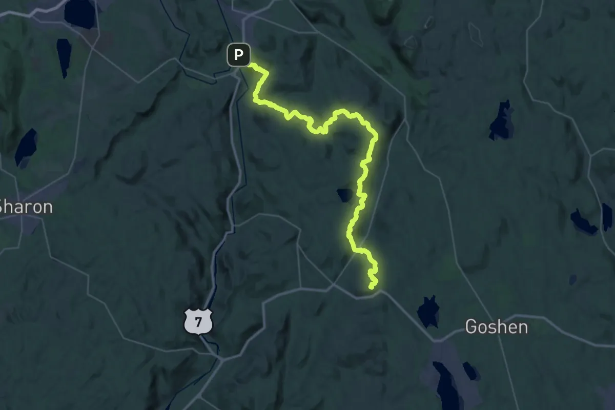
Demanding · Summit
Mohawk Trail
42.0 km · ↑ 1642 m · 13 h 28 min
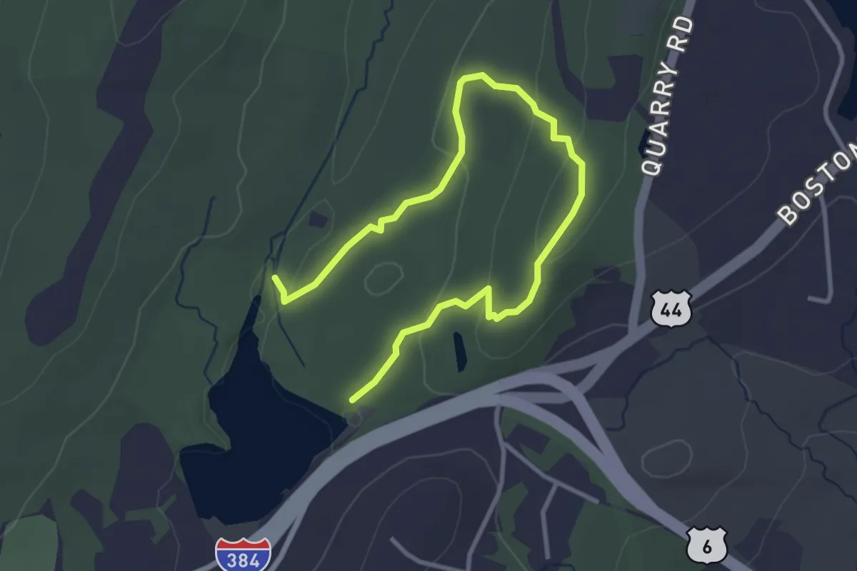
Easy · Trail
Mohegan Trail
4.5 km · ↑ 161 m · 1 h 25 min
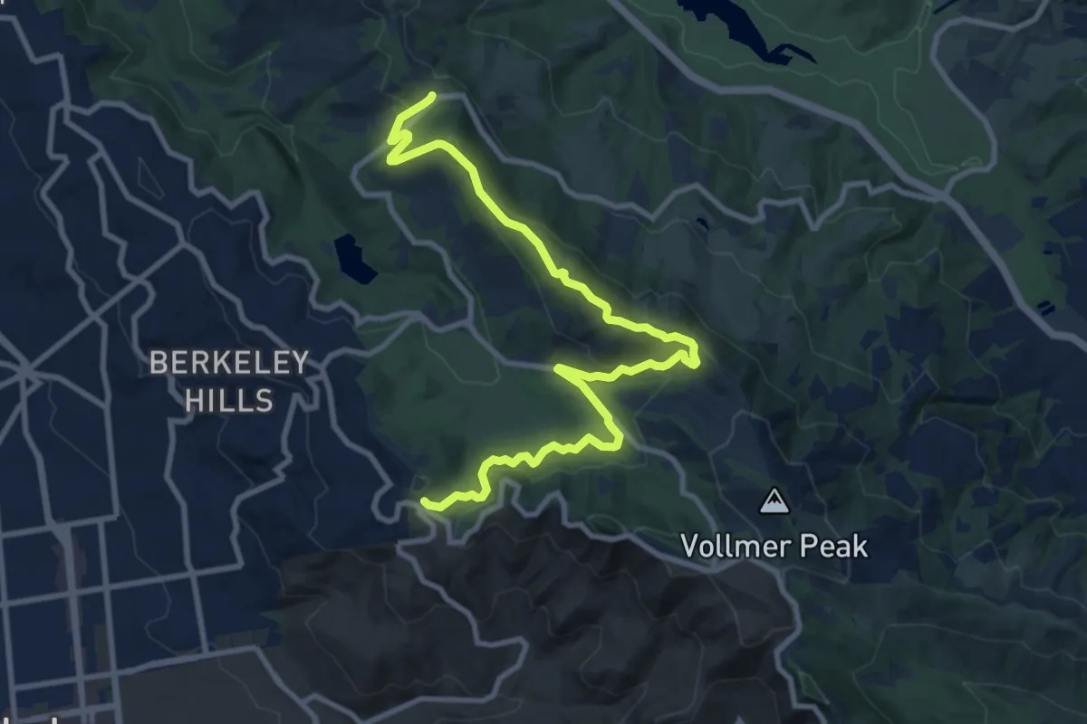
Medium · Trail
Mokelumne Coast to Crest Trail
12.5 km · ↑ 501 m · 4 h 3 min
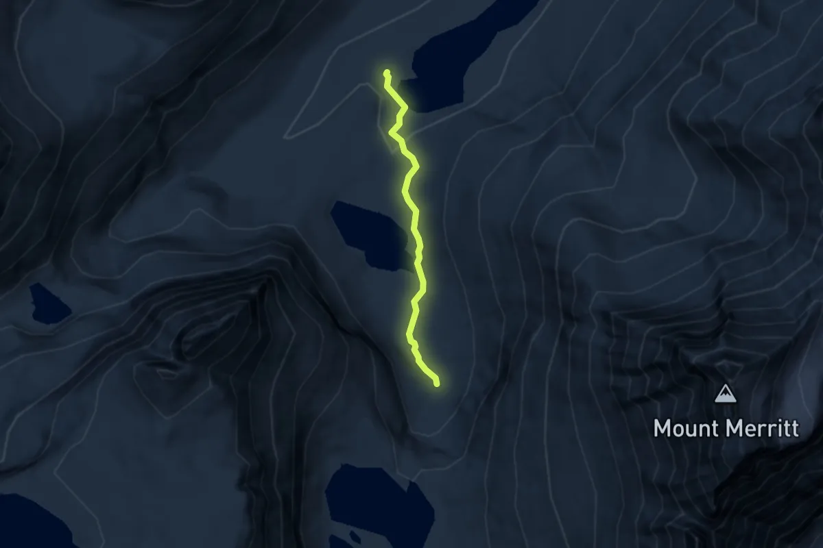
Easy · Trail
Mokowanis Lake Trail
4.4 km · ↑ 78 m · 1 h 12 min
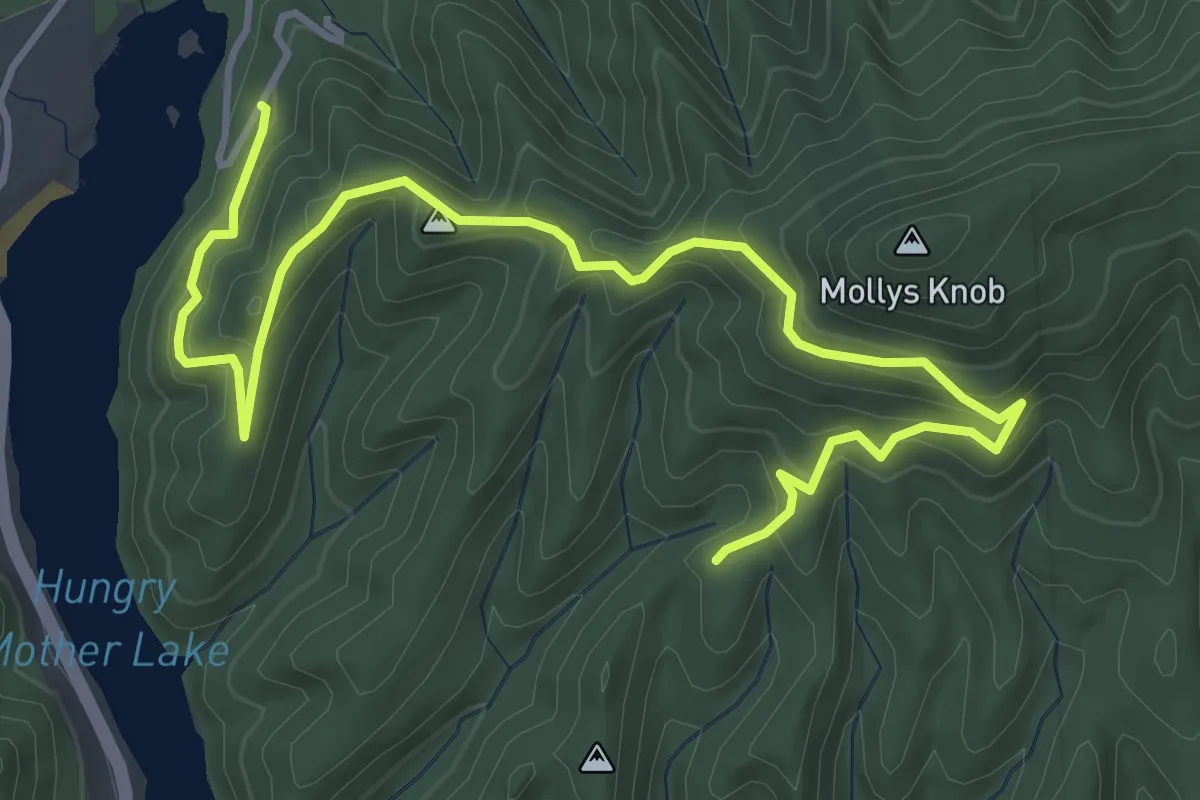
Medium · Trail
Molly's Knob Trail
6.1 km · ↑ 330 m · 2 h 10 min
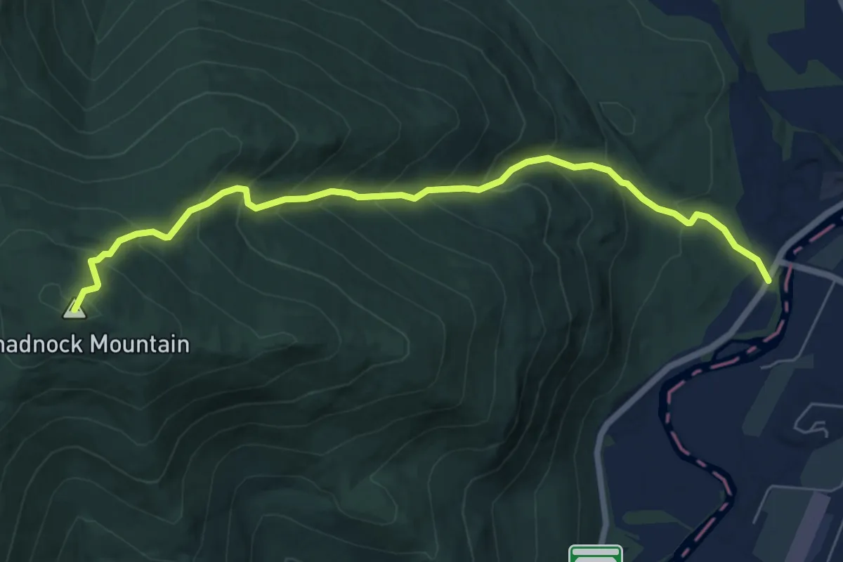
Medium · Summit
Monadnock Mountain Trail
7.0 km · ↑ 646 m · 3 h 3 min
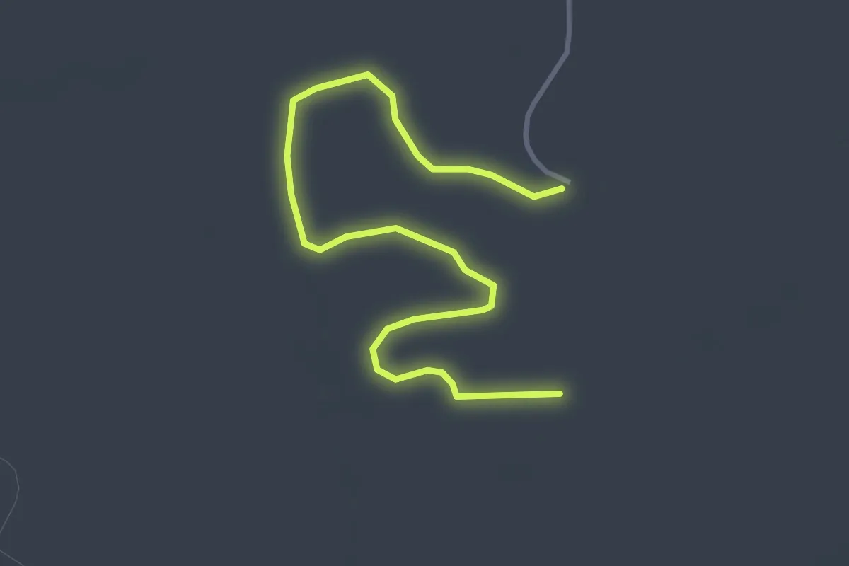
Easy · Trail
Monarch
4.1 km · ↑ 9 m · 1 h
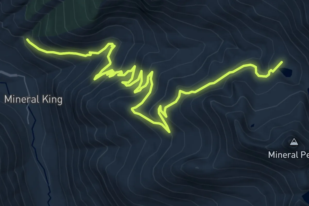
Medium · Trail
Monarch Lakes Trail
12.7 km · ↑ 706 m · 4 h 32 min
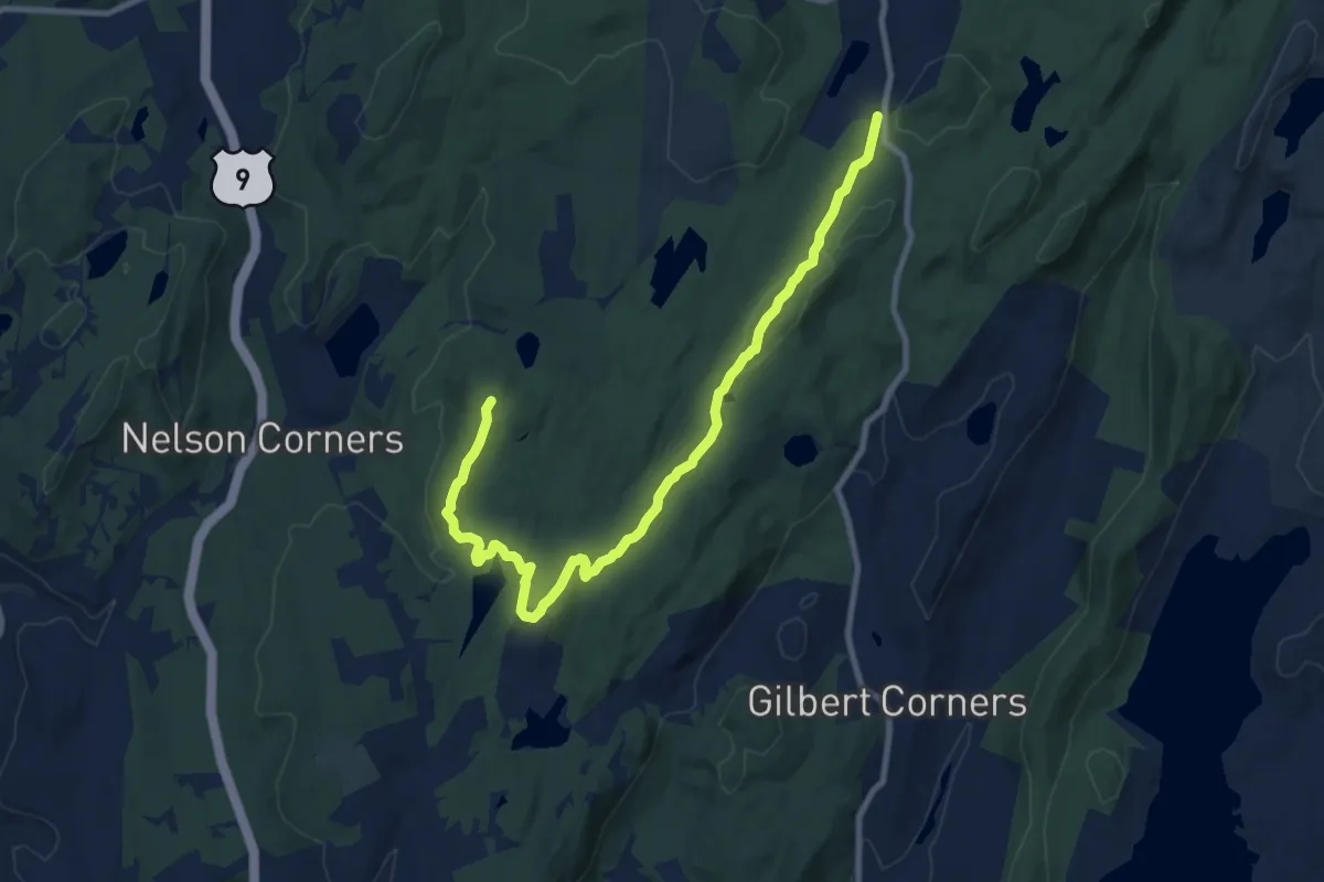
Medium · Summit
Moneyhole Mountain Trail
11.6 km · ↑ 254 m · 3 h 17 min
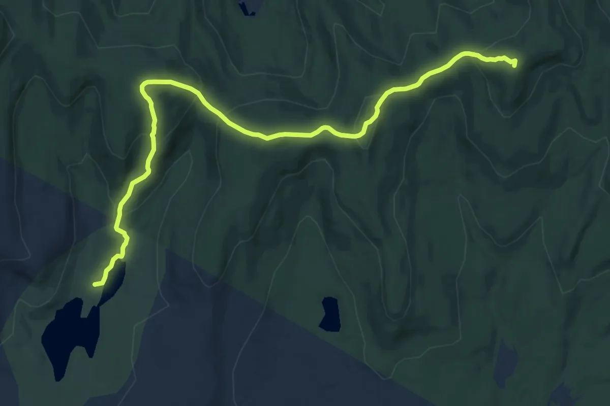
Medium · Summit
Mongaup - Hardenburgh Trail
15.2 km · ↑ 788 m · 5 h 18 min
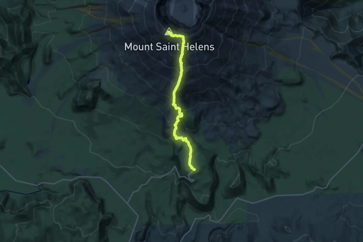
Expert · Summit
Monitor Ridge Climbing Route
13.7 km · ↑ 1473 m · 6 h 25 min
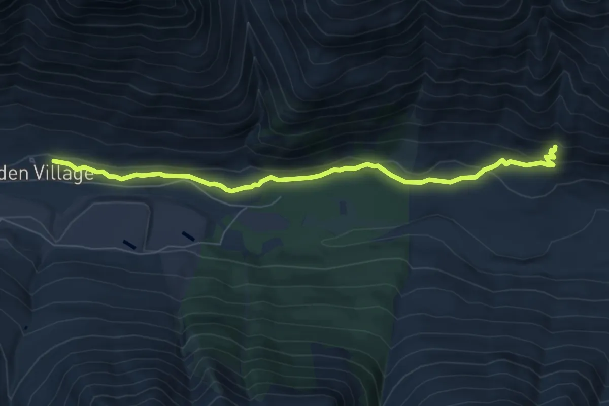
Easy · Trail
Monkey Bear Falls Trail
6.8 km · ↑ 168 m · 1 h 57 min
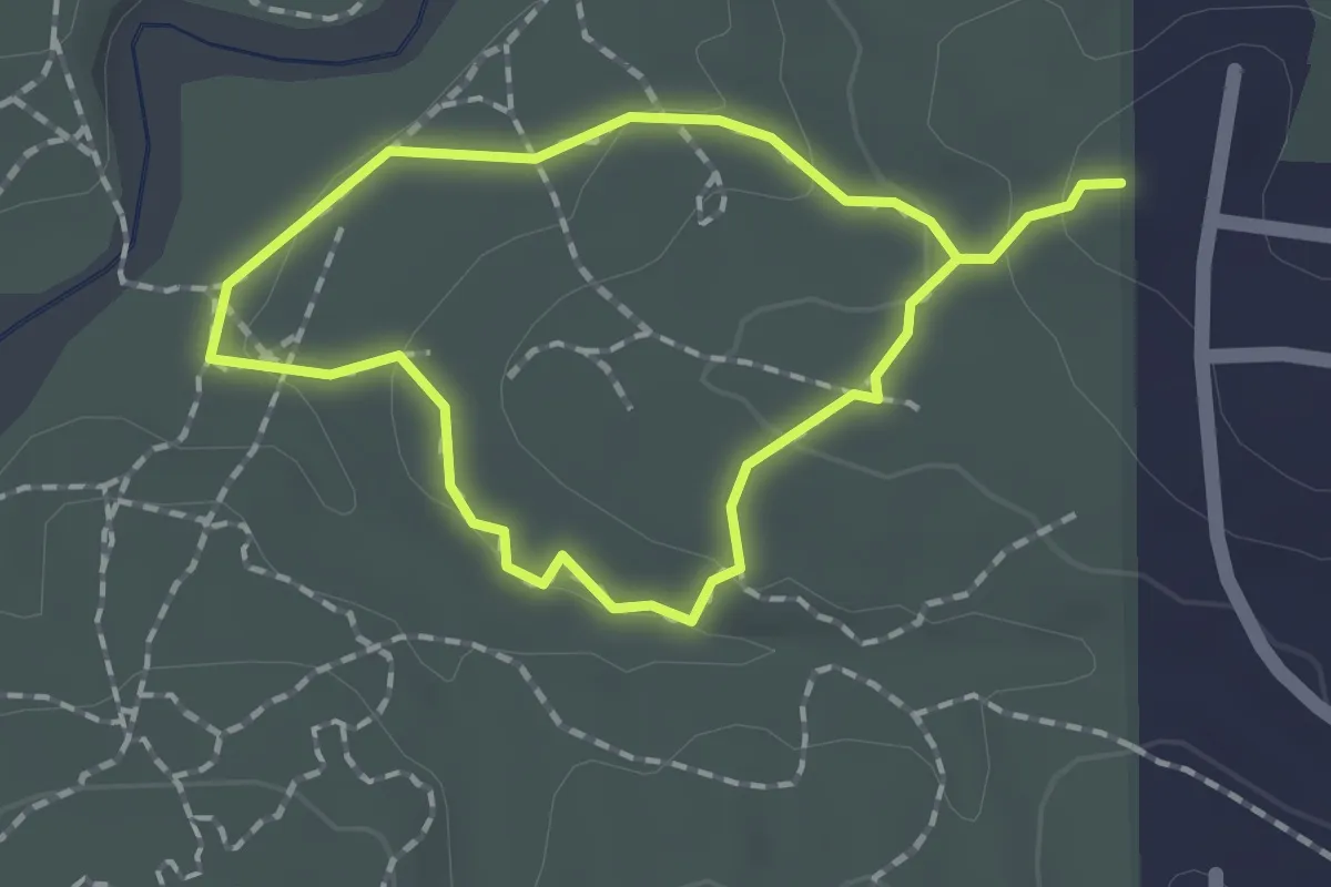
Easy · Trail
Monkey Flower Trail
1.6 km · ↑ 40 m · 30 min
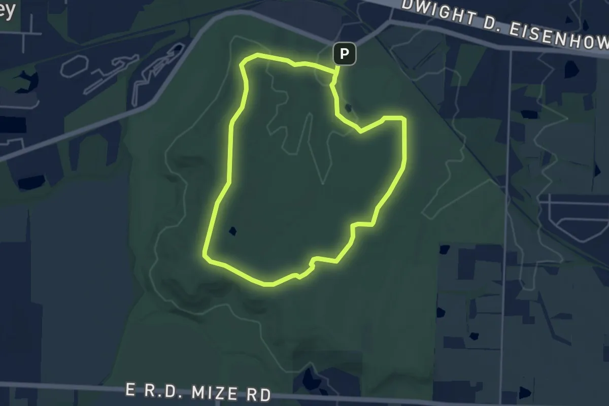
Medium · Summit
Monkey Mountain Nature Reserve NorthEast
4.4 km · ↑ 55 m · 1 h 13 min
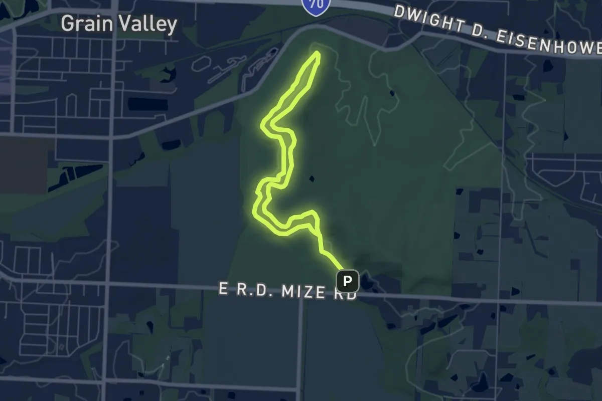
Medium · Summit
Monkey Mountain Nature Reserve Southwest
5.3 km · ↑ 43 m · 1 h 24 min
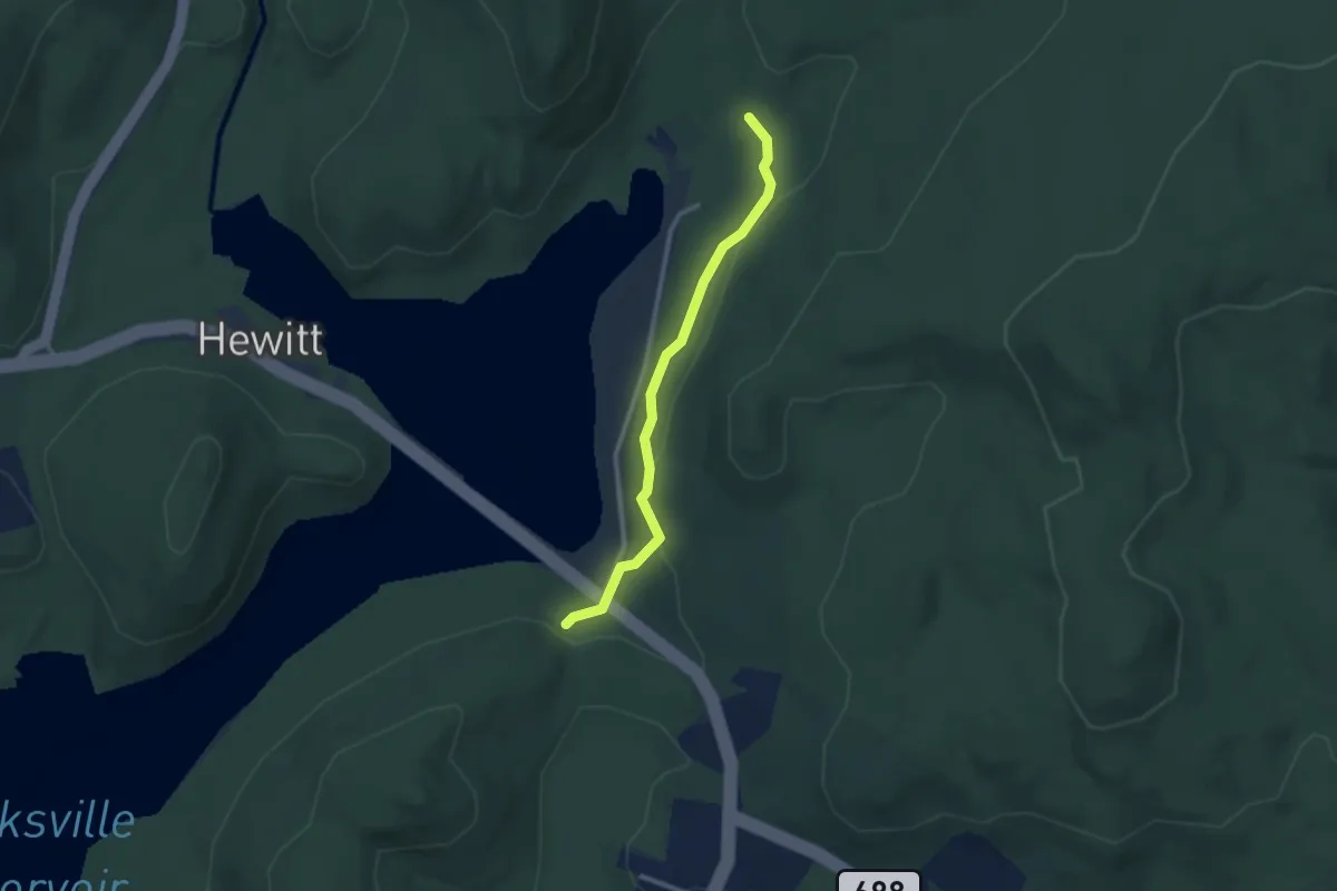
Easy · Trail
Monks Connector Trail
2.7 km · ↑ 77 m · 48 min
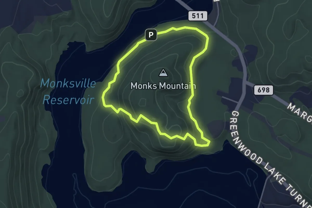
Easy · Trail
Monks Trail
3.7 km · ↑ 124 m · 1 h 11 min
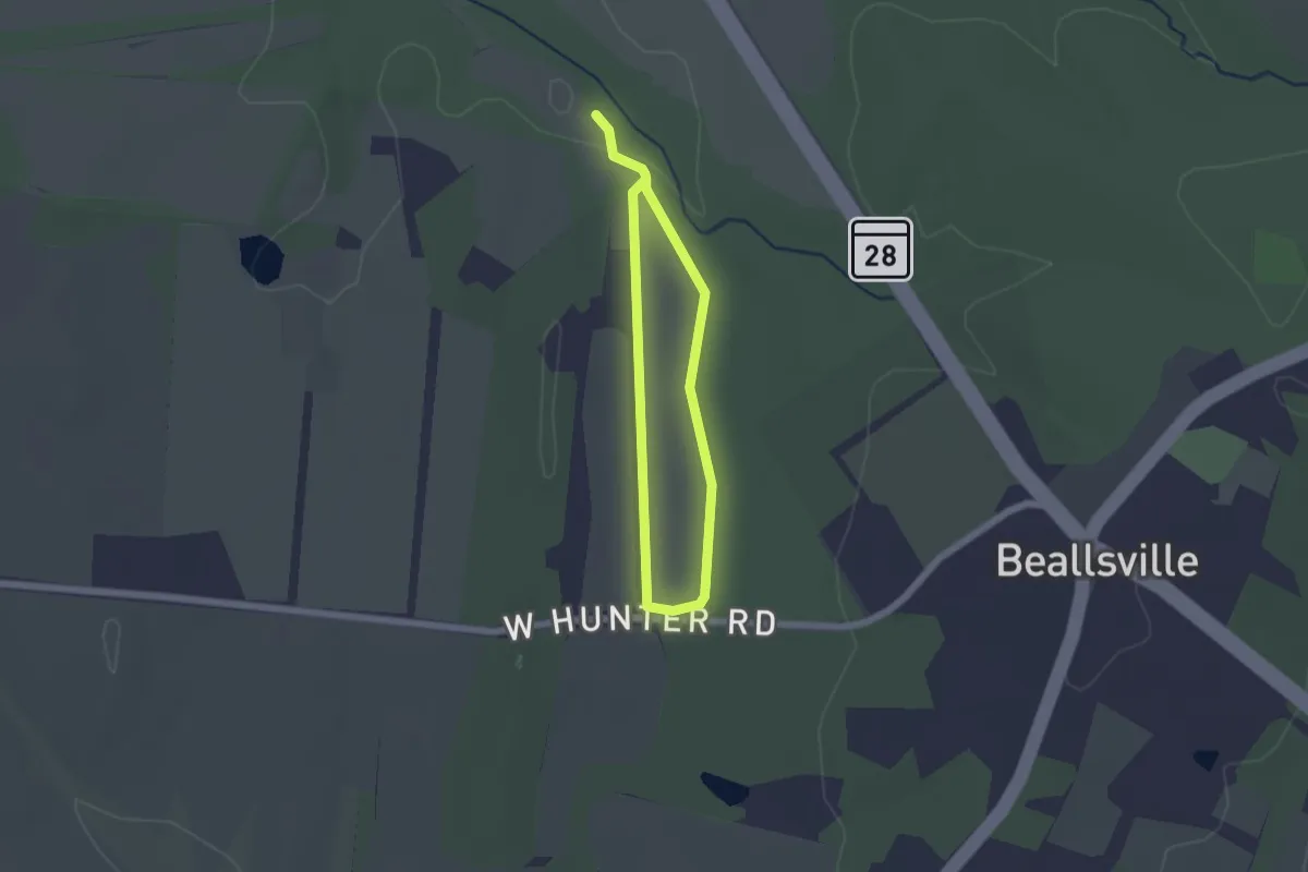
Easy · Trail
Monocacy Loop
1.6 km · ↑ 10 m · 25 min
Demanding · Trail
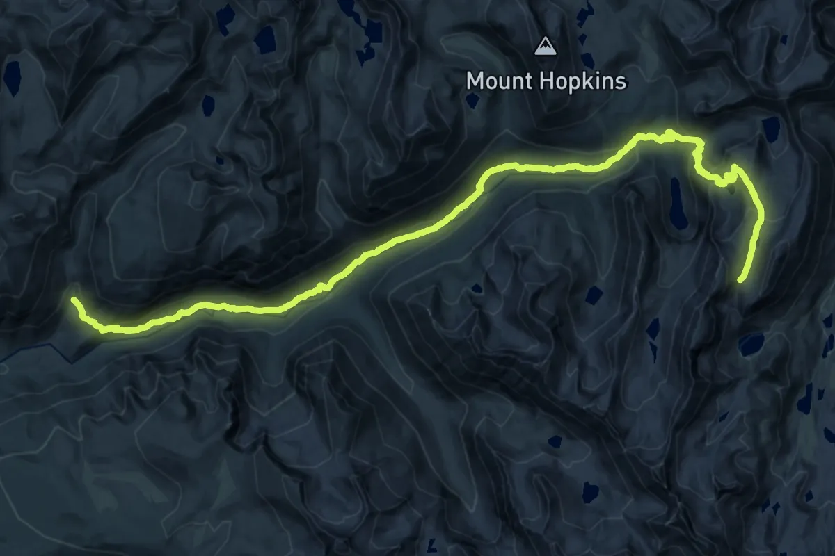
Mono Creek Trail
19.0 km · ↑ 1279 m · 6 h 58 min
Medium · Trail
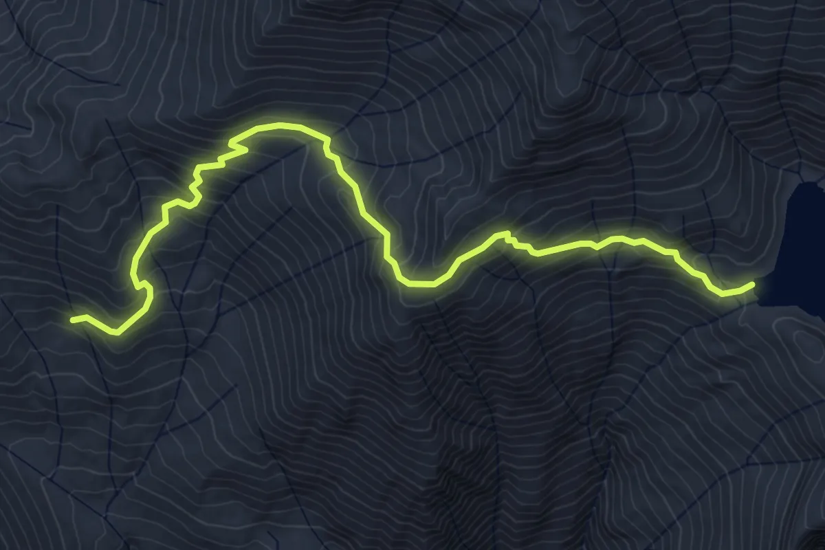
Monogram Lake Trail
6.0 km · ↑ 517 m · 2 h 33 min
Demanding · Trail
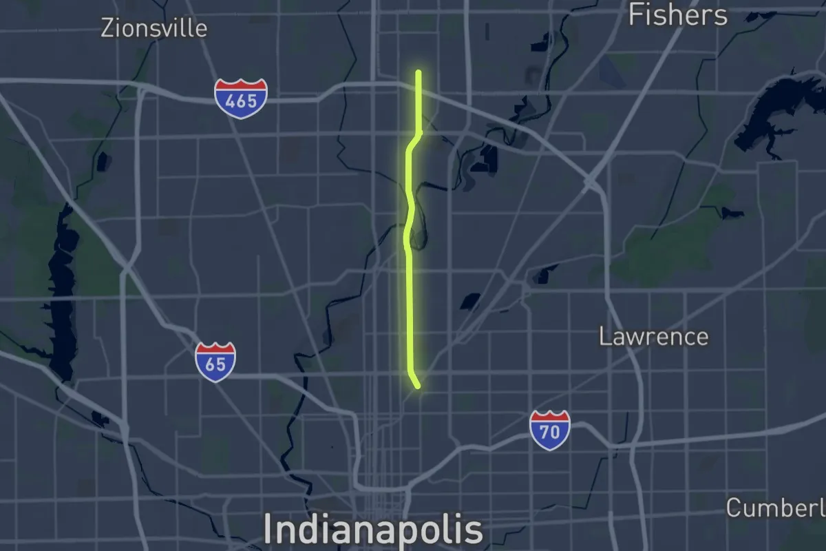
Monon Trail
26.0 km · ↑ 70 m · 6 h 17 min
Easy · Trail
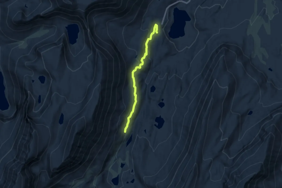
Mono Pass Pack Station Trail
6.5 km · ↑ 285 m · 2 h 9 min
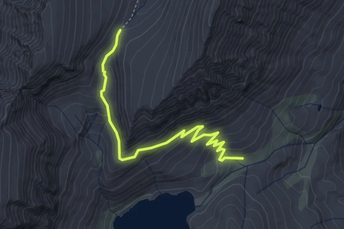
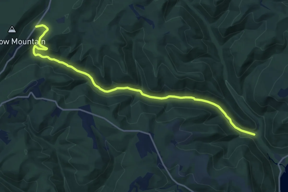
Medium · Trail
Mono Pass Trail
4.6 km · ↑ 313 m · 1 h 46 min
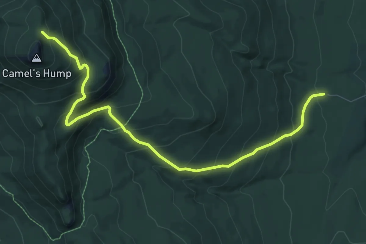
Medium · Trail
Monroe Run Hiking Trail
13.8 km · ↑ 297 m · 3 h 54 min
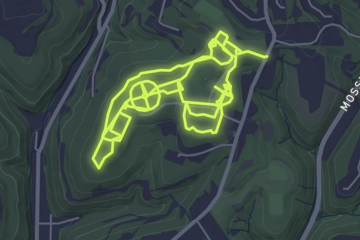
Medium · Trail
Monroe Trail
9.2 km · ↑ 714 m · 3 h 43 min
Medium · Trail
Monroeville Community Park Trails
14.3 km · ↑ 160 m · 3 h 43 min
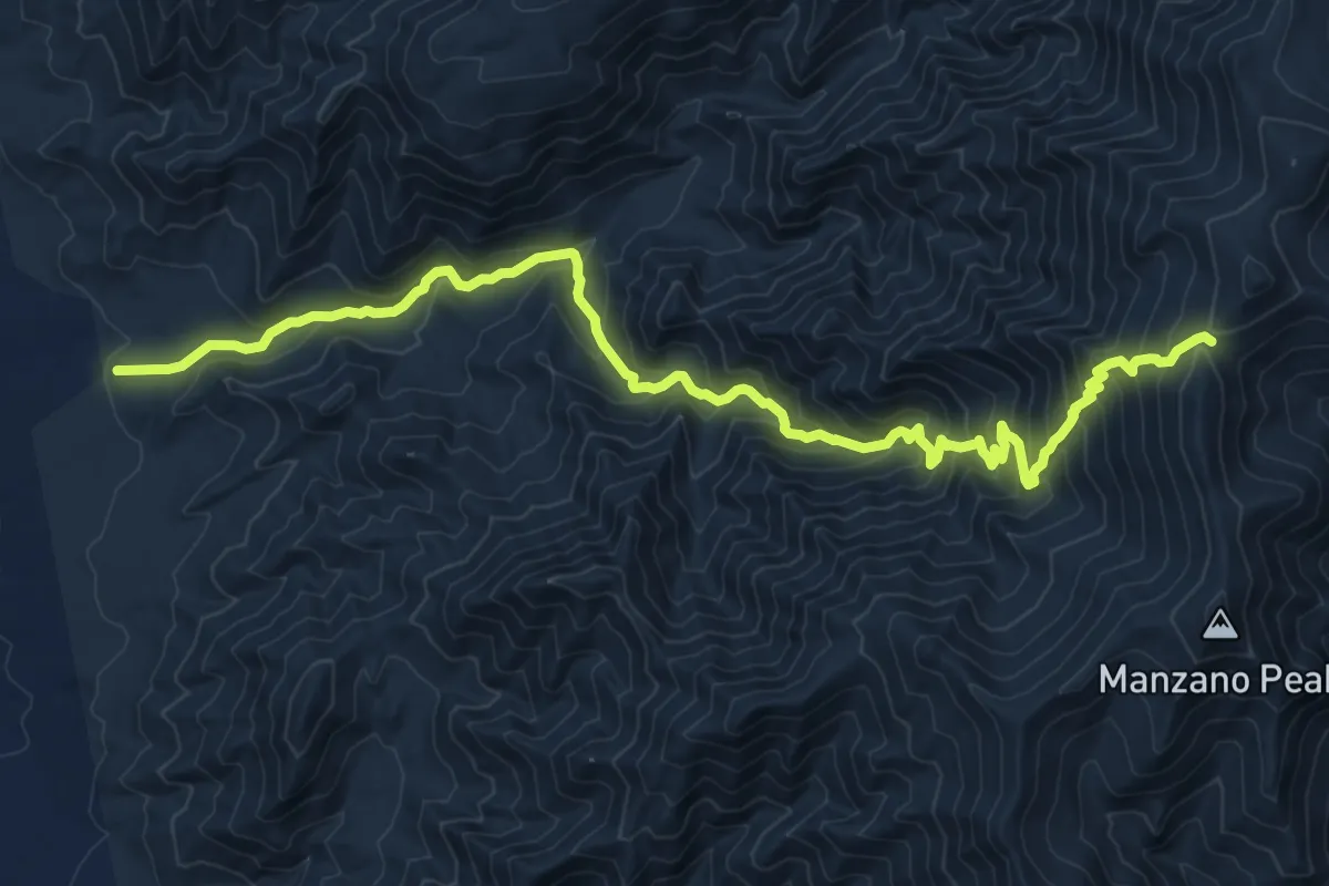
Demanding · Trail
Monte Largo Trail
13.5 km · ↑ 1092 m · 5 h 34 min
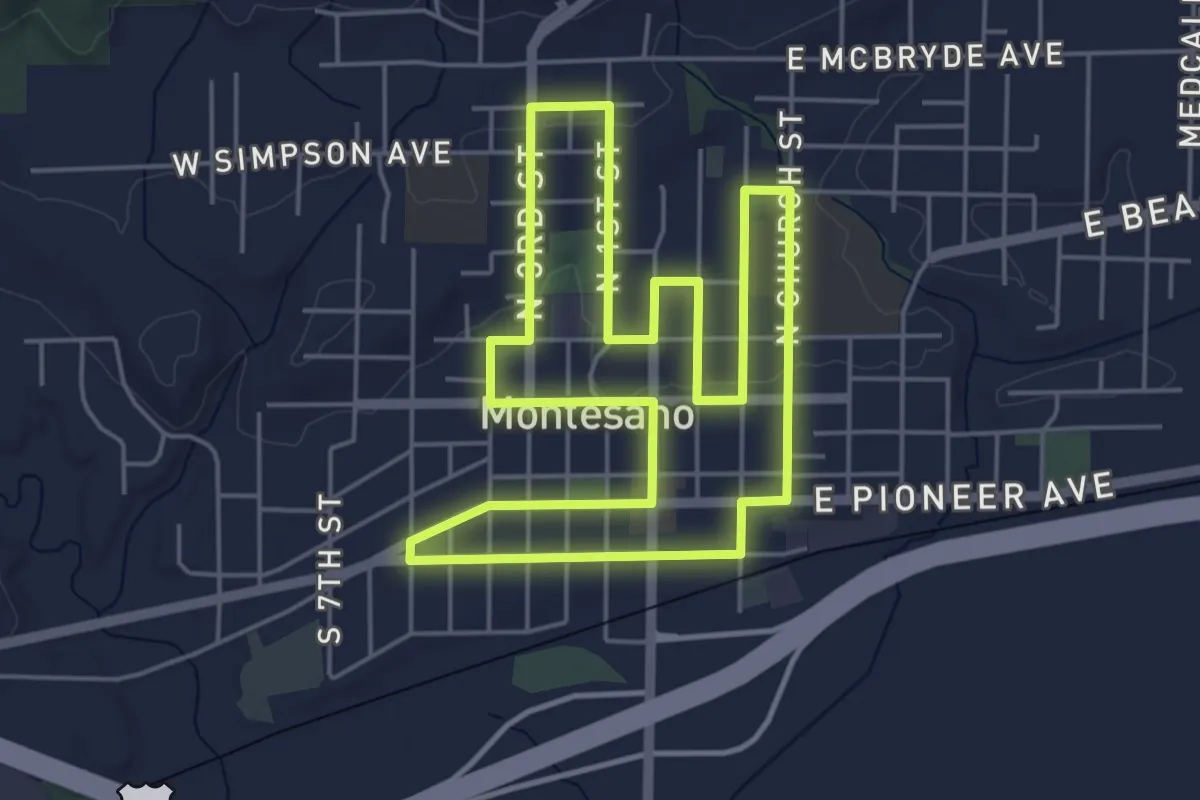
Easy · Trail
Montesano Historic Homes Loop
5.2 km · ↑ 30 m · 1 h 23 min
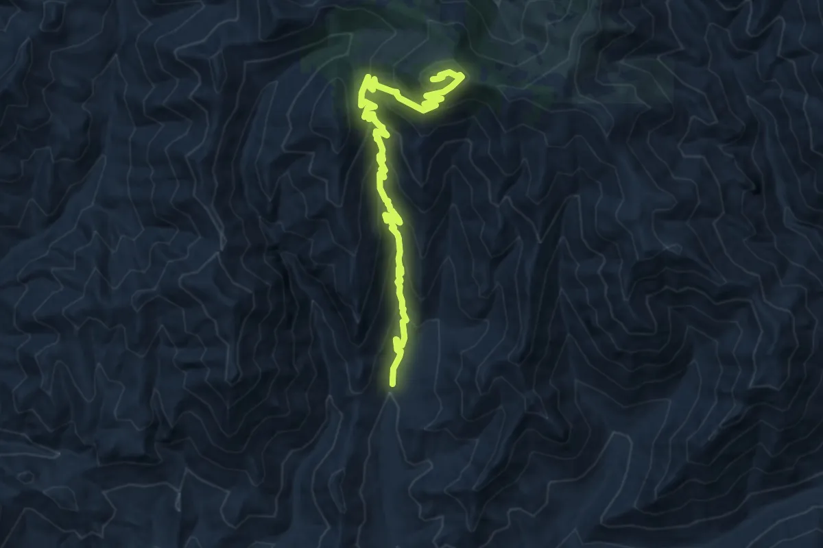
Demanding · Summit
Monte Vista Trail #221
13.1 km · ↑ 857 m · 4 h 57 min
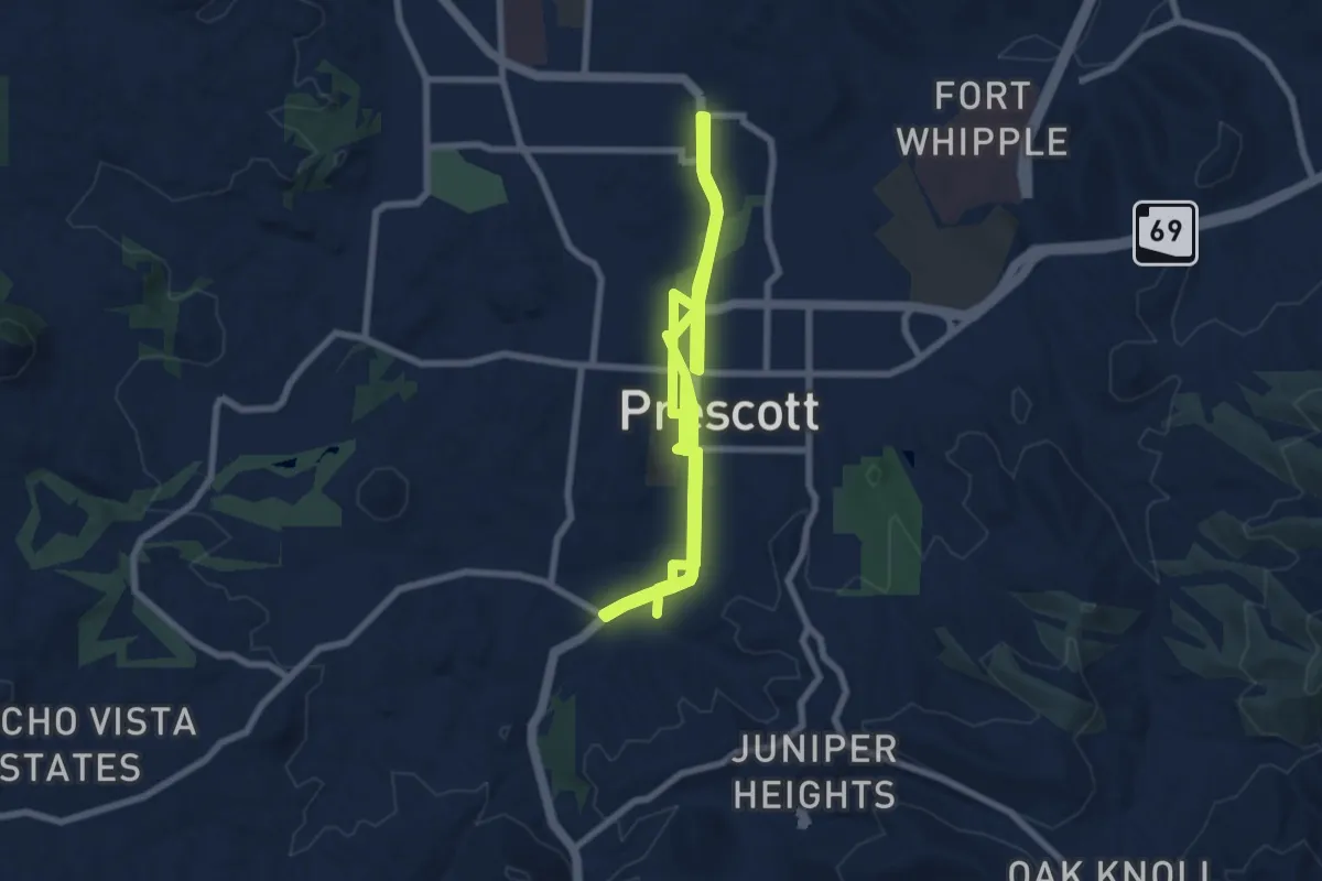
Medium · Trail
Montezuma Promenade
17.6 km · ↑ 227 m · 4 h 39 min
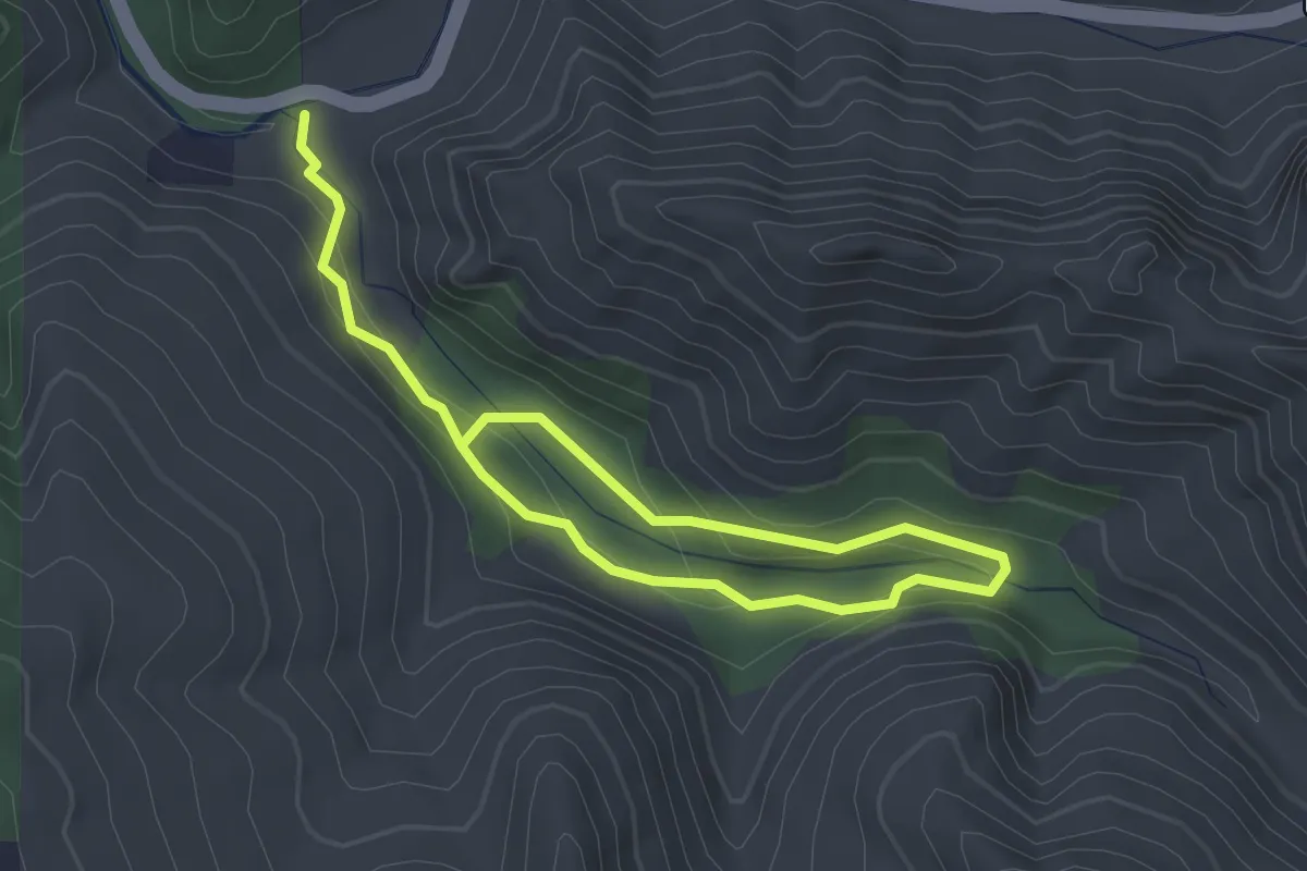
Easy · Trail
Montgomery Trail
4.4 km · ↑ 223 m · 1 h 32 min
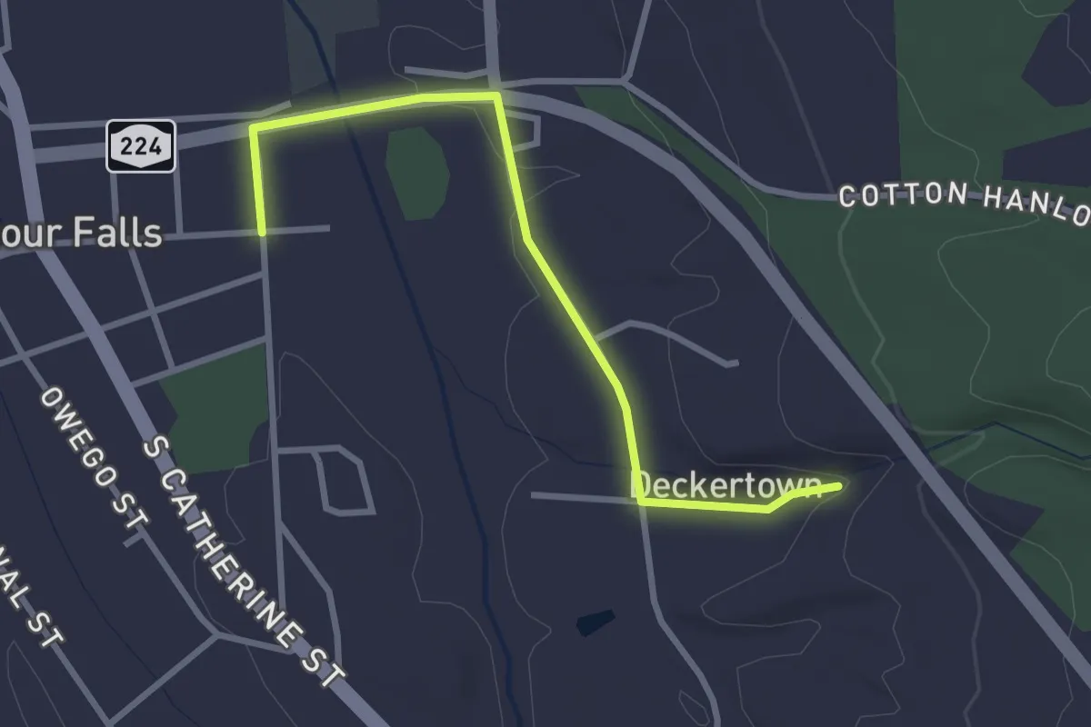
Easy · Trail
Montour Falls Detour Trail
3.1 km · ↑ 23 m · 48 min
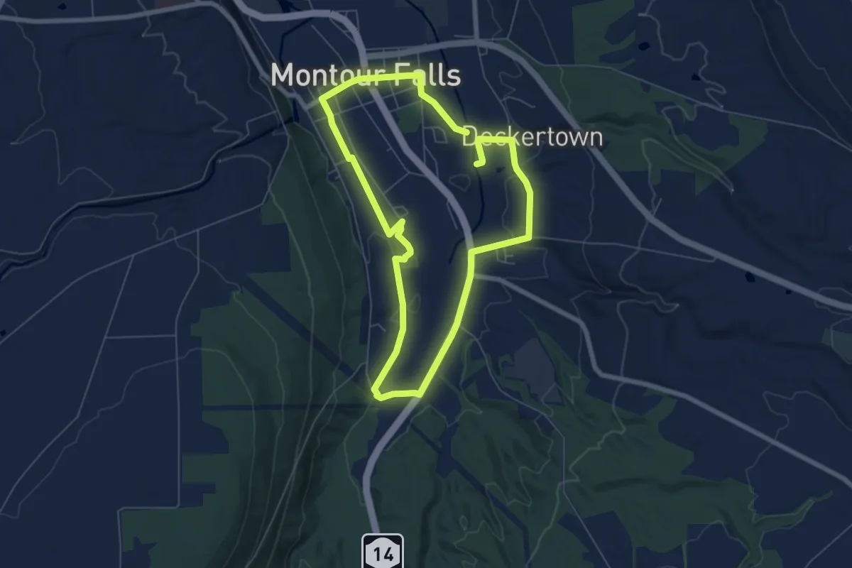
Easy · Trail
Montour Falls Historic Loop Trail
6.4 km · ↑ 38 m · 1 h 41 min
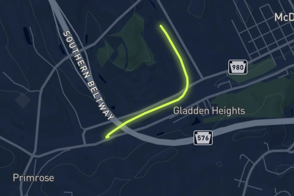
Easy · Trail
Montour - Panhandle Connector Trail
3.6 km · ↑ 18 m · 53 min