Trails in United States
10,367 hiking trails, each with its route, climb, walking time and grade.
All trails, page 124 of 216
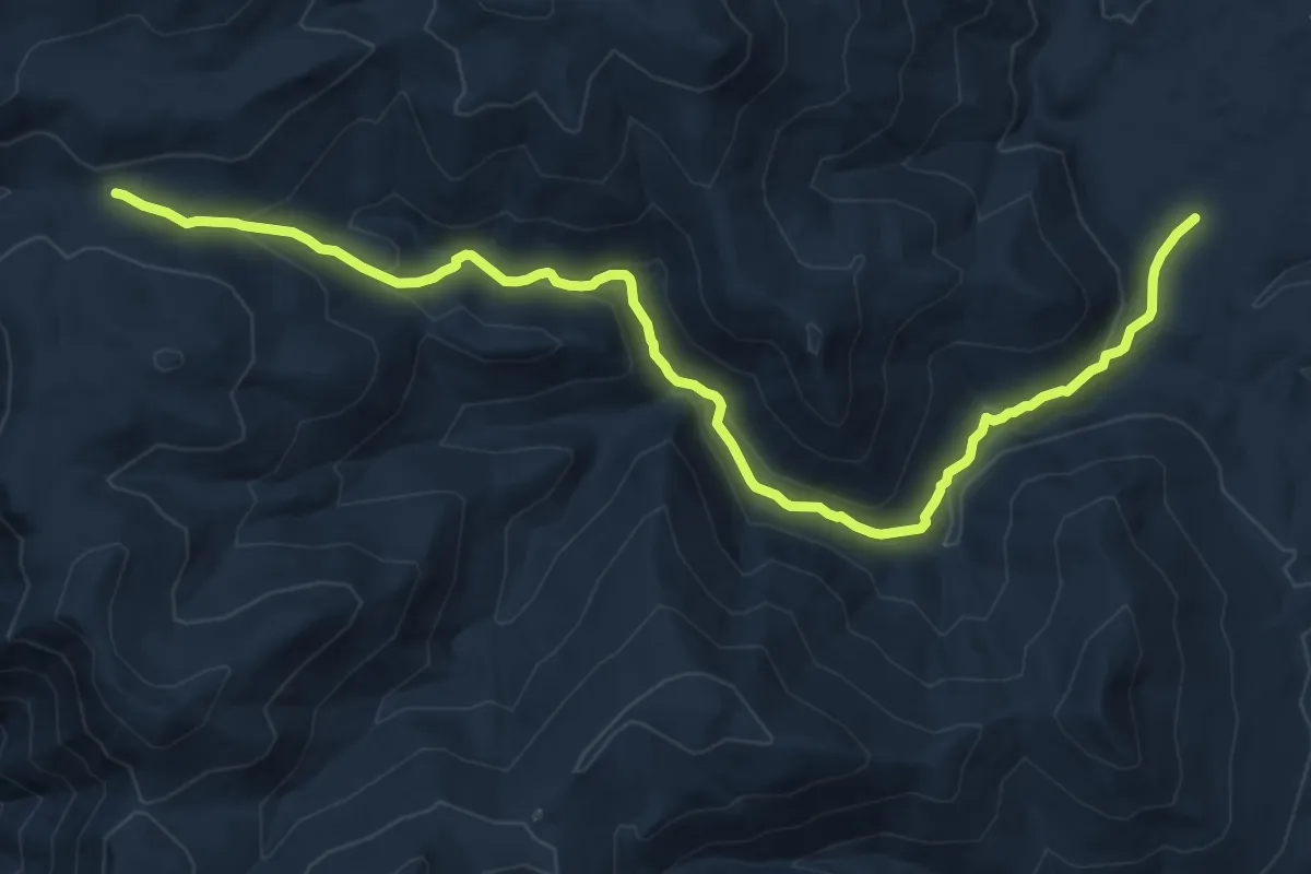
Medium · Trail
Mountaineer Trail
16.0 km · ↑ 673 m · 5 h 15 min
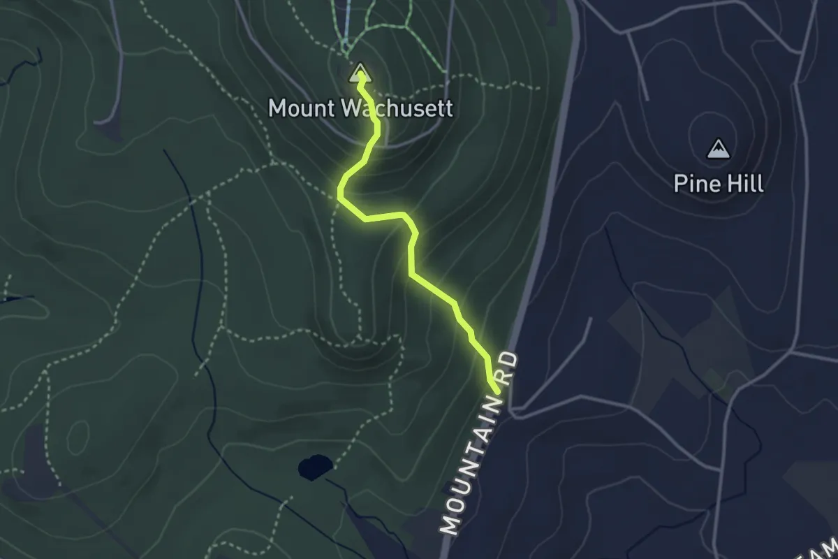
Easy · Summit
Mountain House Trail
2.8 km · ↑ 237 m · 1 h 10 min
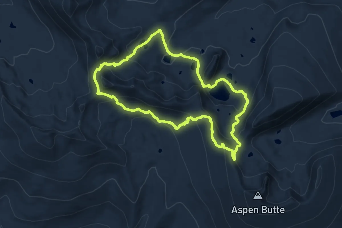
Medium · Trail
Mountain Lakes Loop Trail
12.8 km · ↑ 536 m · 4 h 22 min
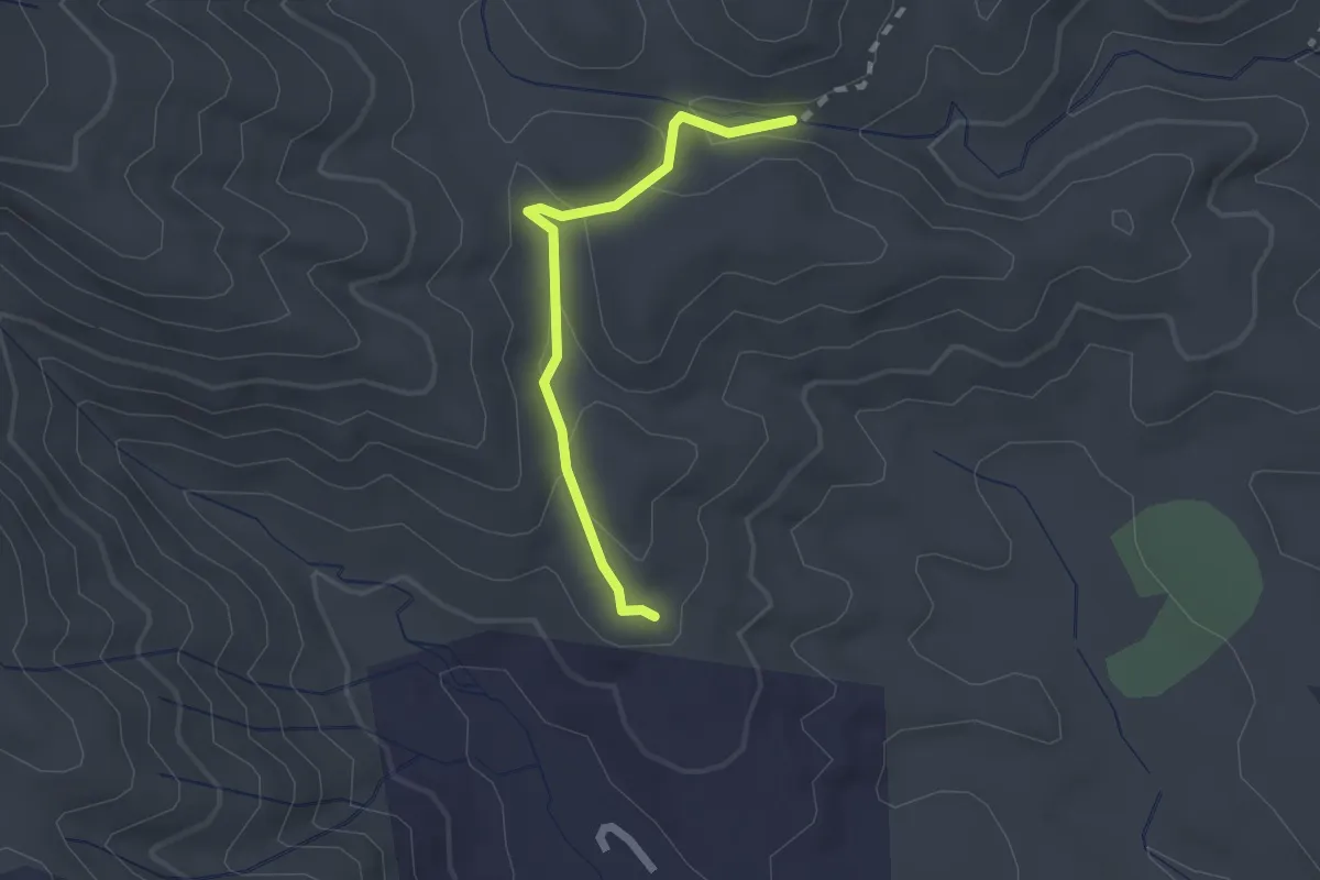
Easy · Trail
Mountain Laurel Trail
2.2 km · ↑ 64 m · 39 min
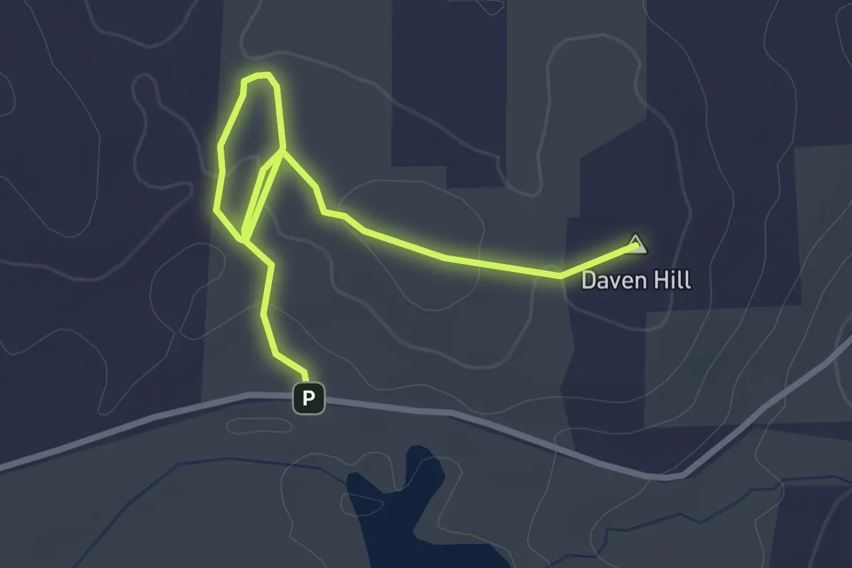
Easy · Summit
Mountain Laurel Trail
3.4 km · ↑ 77 m · 59 min
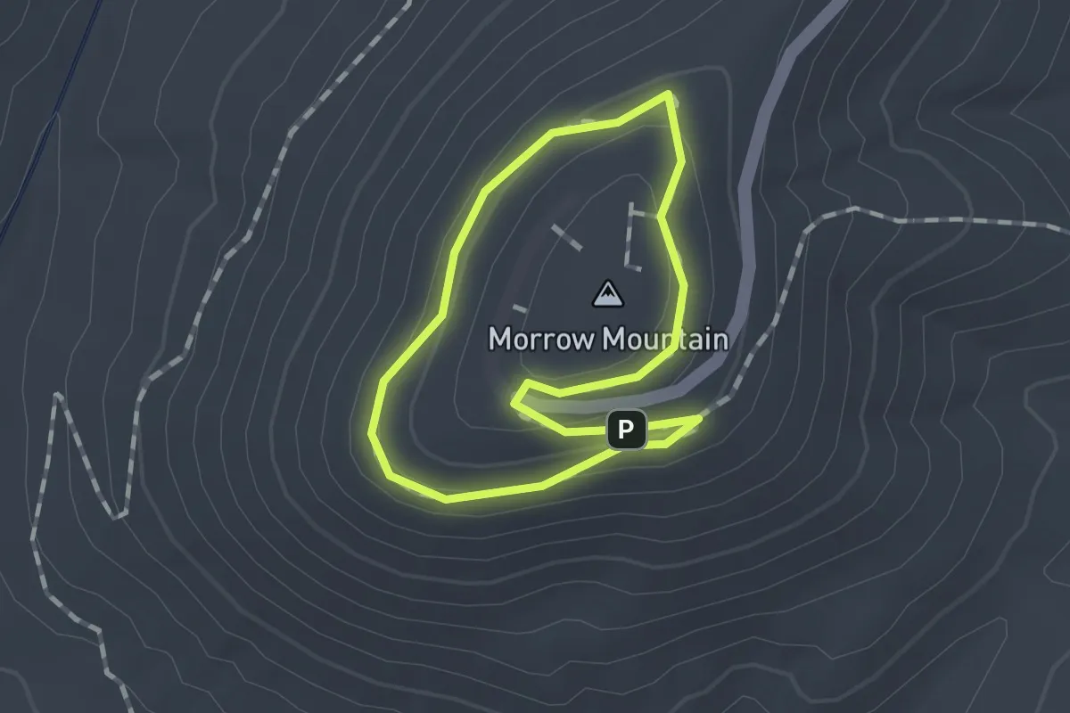
Medium · Summit
Mountain Loop Trail
1.1 km · ↑ 30 m · 21 min
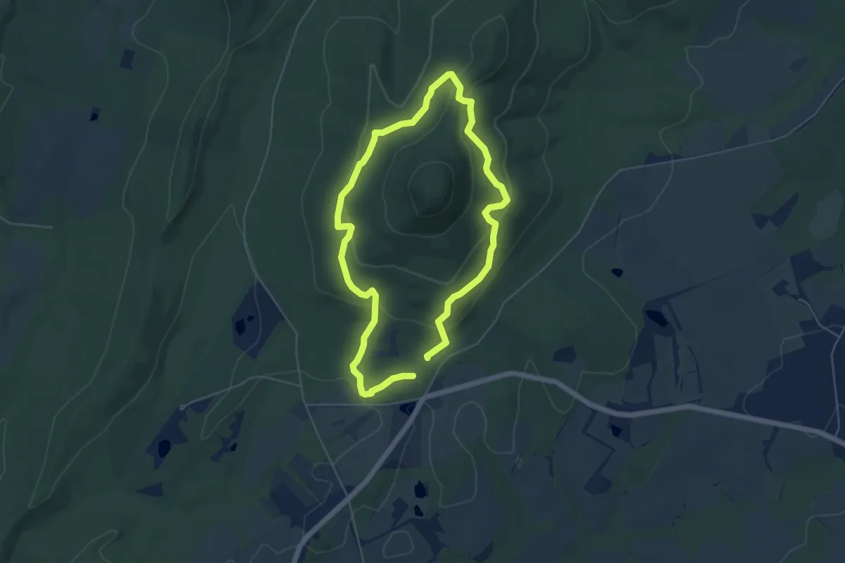
Easy · Trail
Mountain Loop Trail
5.1 km · ↑ 192 m · 1 h 42 min
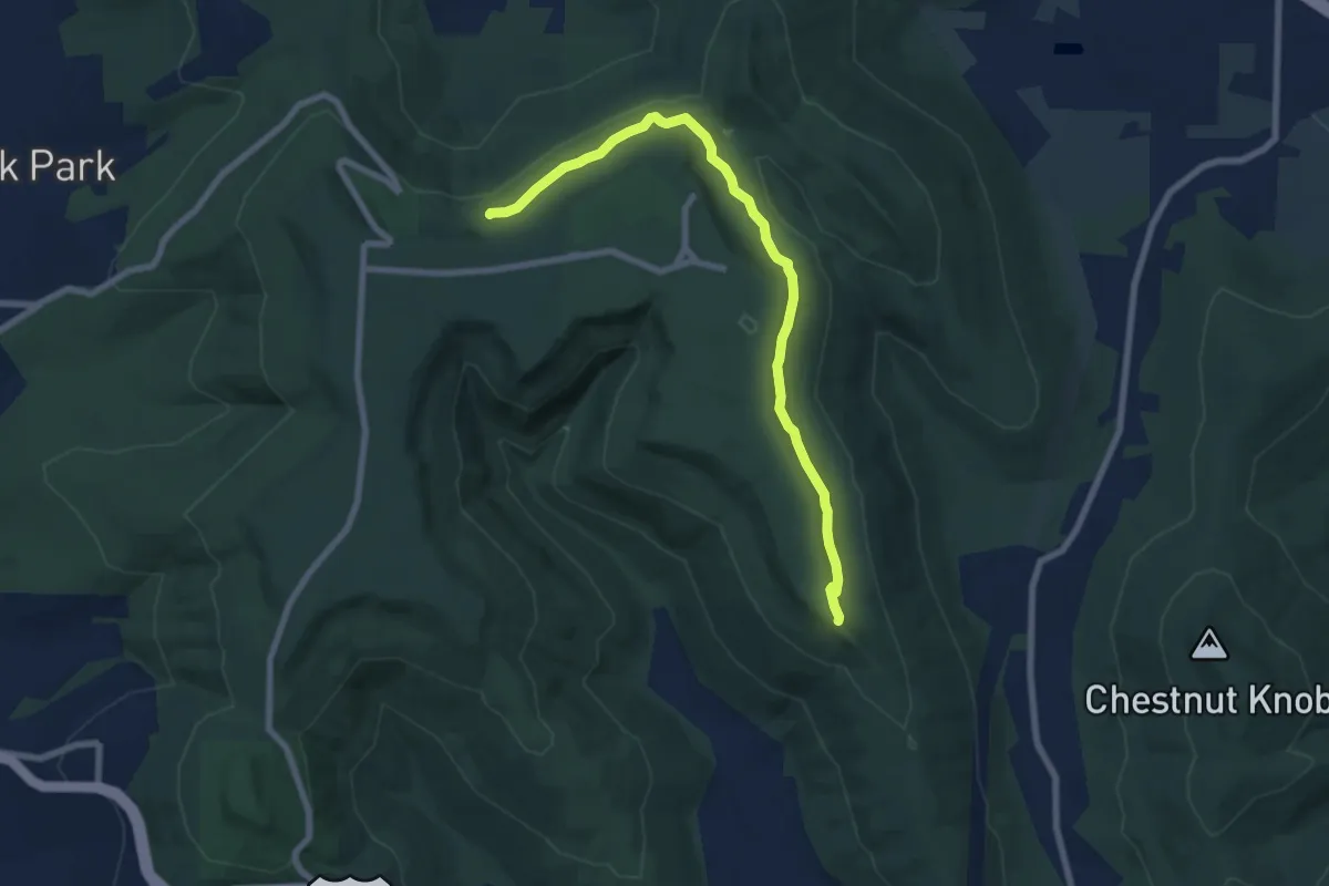
Medium · Trail
Mountain Mist Trail
9.2 km · ↑ 137 m · 2 h 29 min
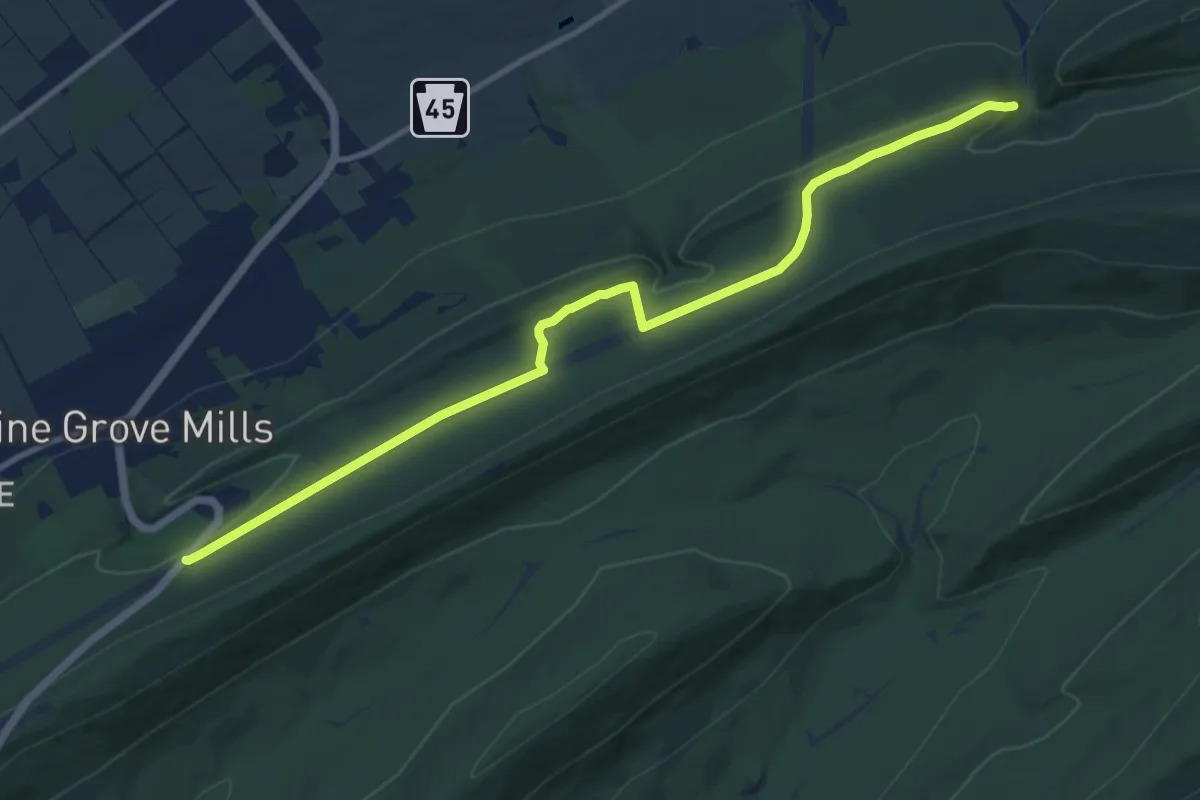
Medium · Trail
Mountain Mist Trail
13.3 km · ↑ 211 m · 3 h 36 min
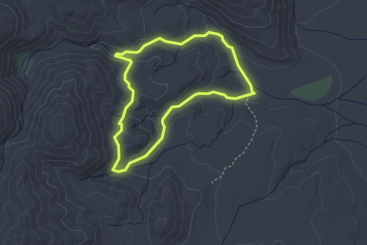
Easy · Trail
Mountain Palm Springs Loop
3.1 km · ↑ 99 m · 59 min
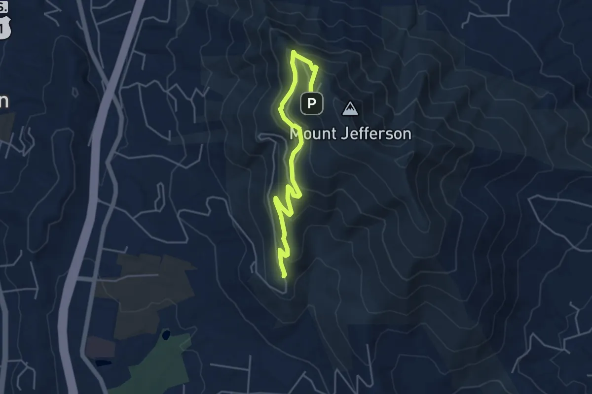
Medium · Trail
Mountain Ridge Trail
5.1 km · ↑ 251 m · 1 h 45 min
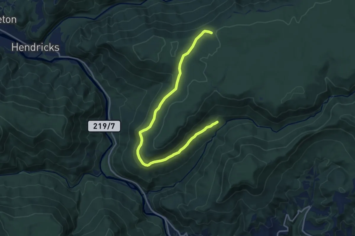
Medium · Trail
Mountainside Trail
14.5 km · ↑ 251 m · 3 h 58 min
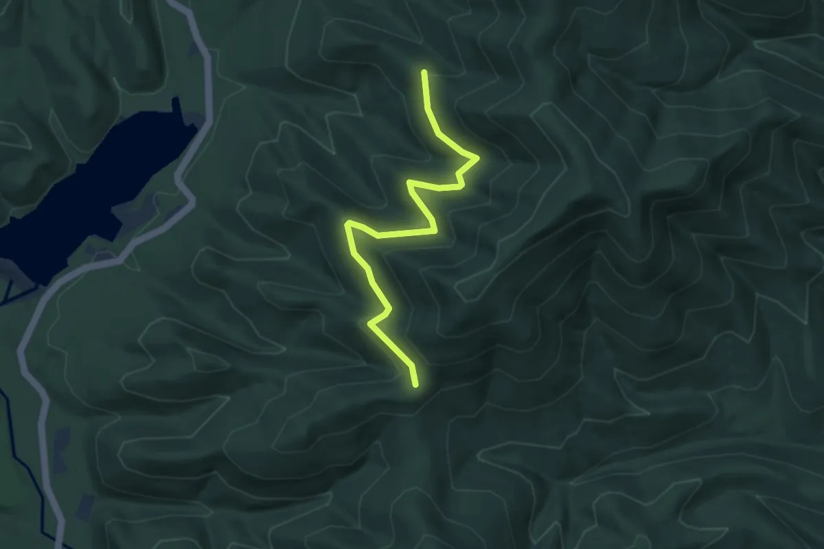
Easy · Trail
Mountain Side Trail
4.0 km · ↑ 111 m · 1 h 11 min
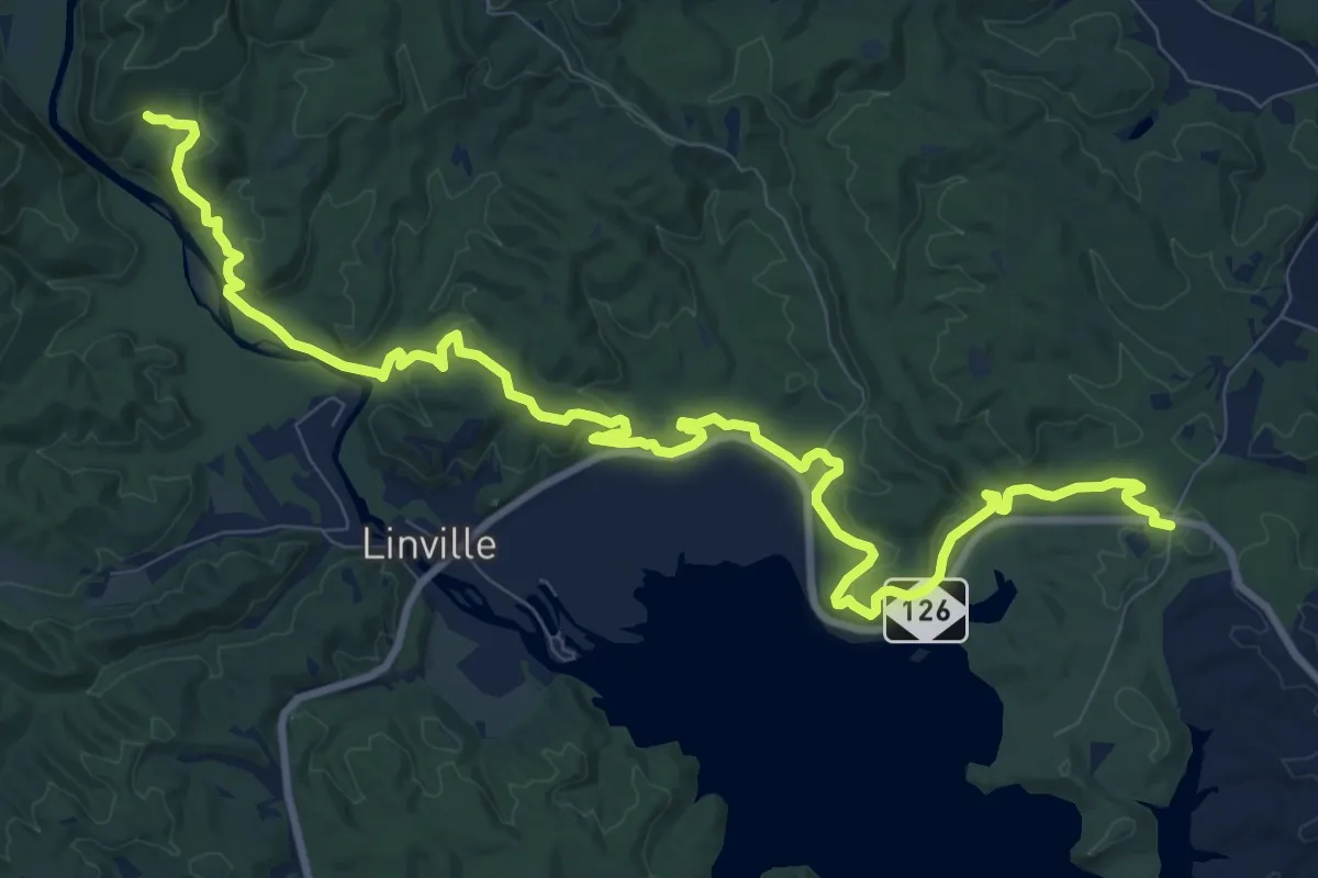
Medium · Trail
Mountains-to-Sea Connector Trail
15.6 km · ↑ 377 m · 4 h 30 min
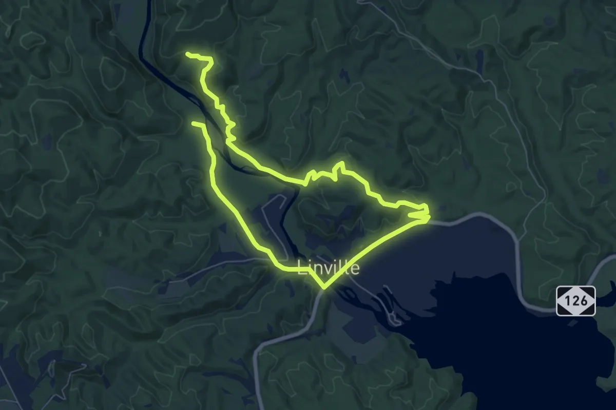
Medium · Trail
Mountains-to-Sea Trail Alternate
13.3 km · ↑ 293 m · 3 h 46 min
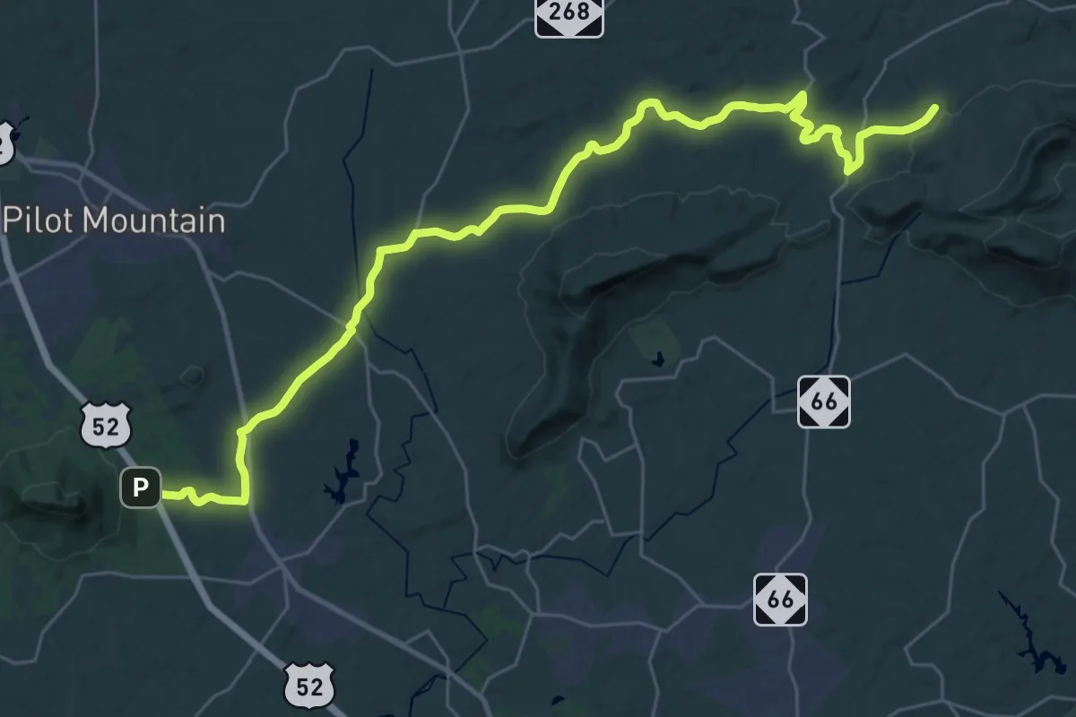
Demanding · Trail
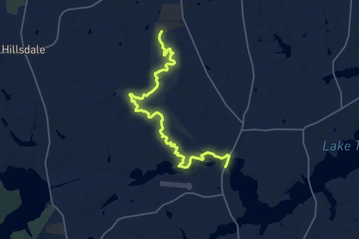
Mountains-to-Sea Trail: Hunting Season Detour - Segment 7
21.8 km · ↑ 474 m · 6 h 27 min
Medium · Trail
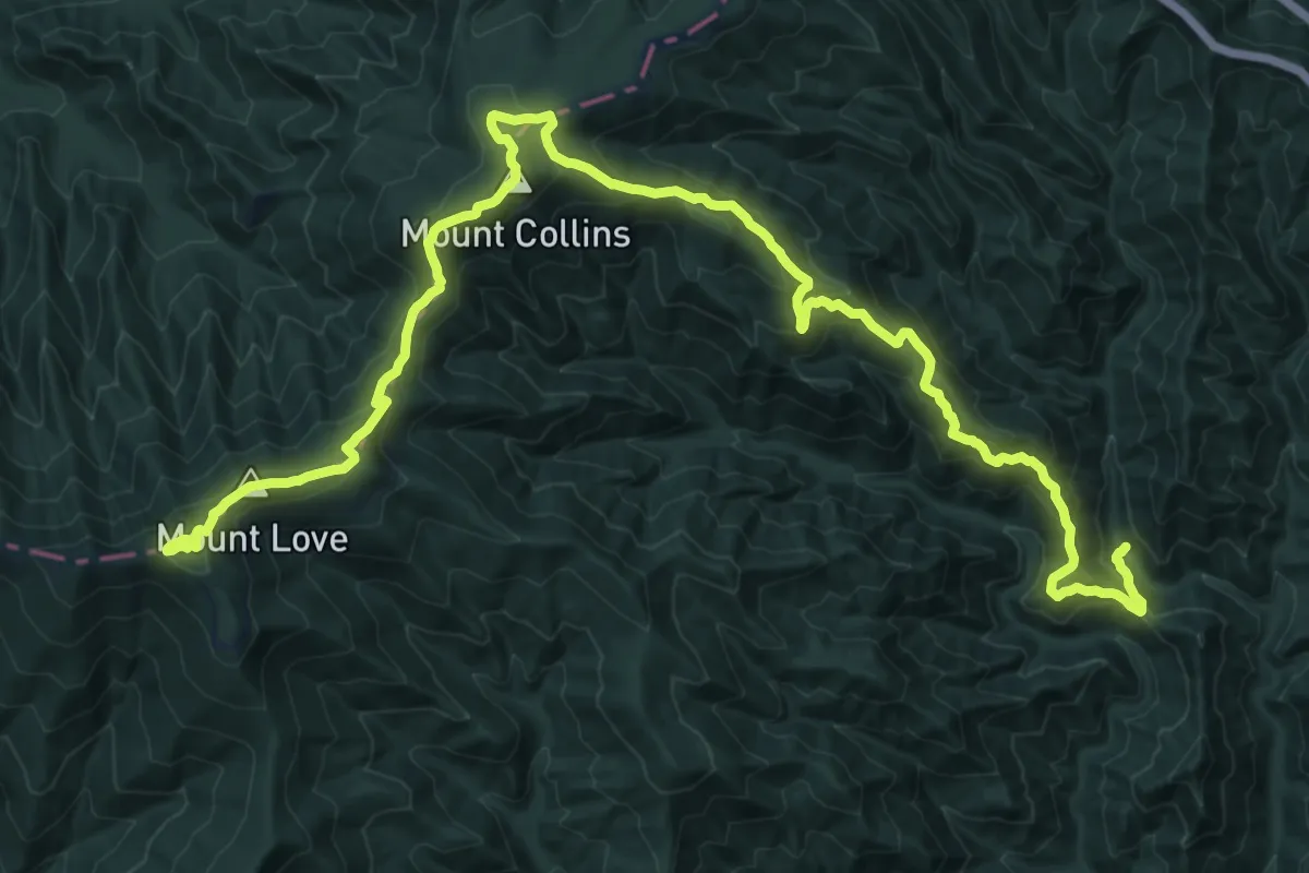
Mountains-to-Sea Trail: Richardson-Taylor Preserve
16.3 km · ↑ 122 m · 4 h 7 min
Demanding · Summit
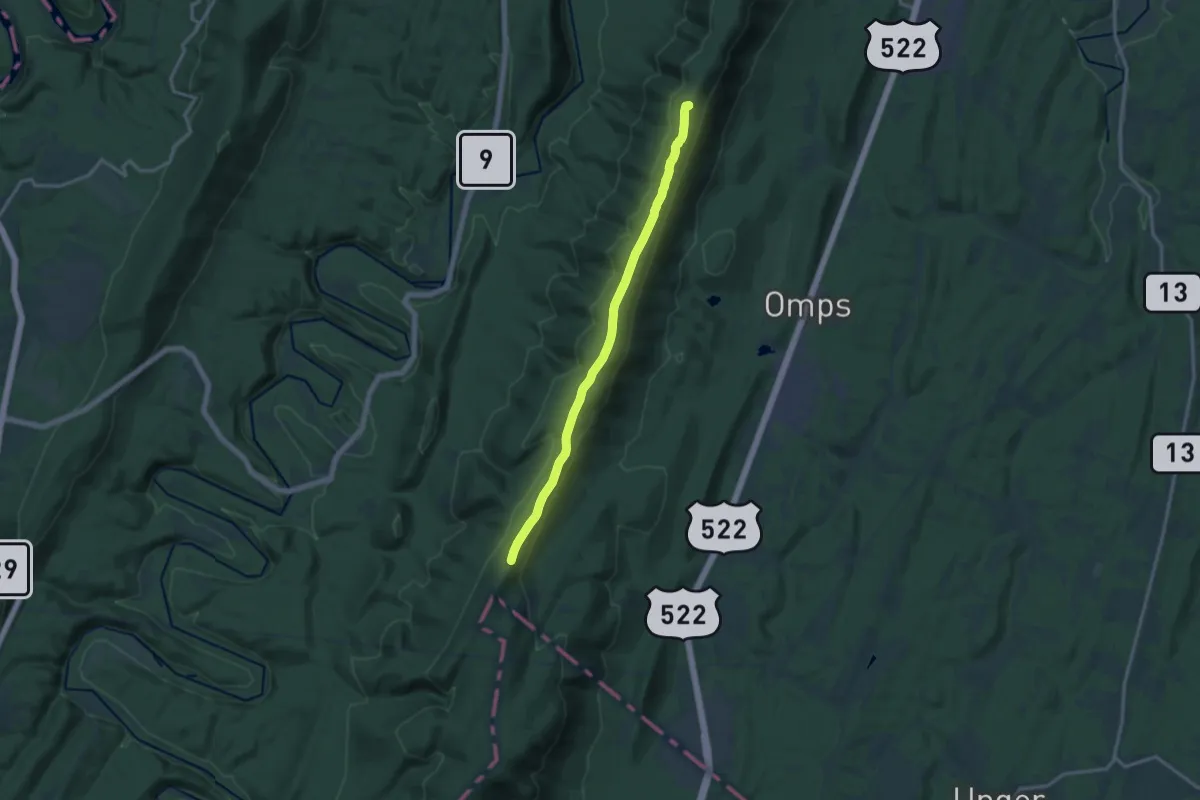
Mountains-to-Sea Trail: Segment 1
27.1 km · ↑ 1481 m · 9 h 37 min
Medium · Summit
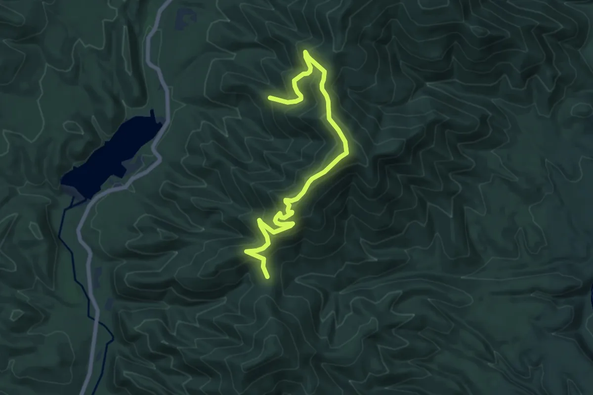
Mountain Top Road
15.8 km · ↑ 180 m · 4 h 7 min
Medium · Trail
Mountain Top Trail
7.4 km · ↑ 432 m · 2 h 41 min
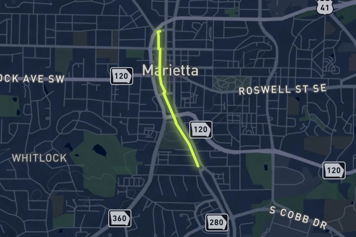
Easy · Trail
Mountain to River Trail
3.8 km · ↑ 8 m · 55 min
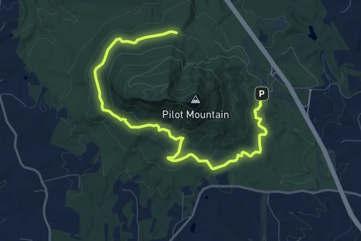
Medium · Trail
Mountain Trail
12.9 km · ↑ 287 m · 3 h 40 min
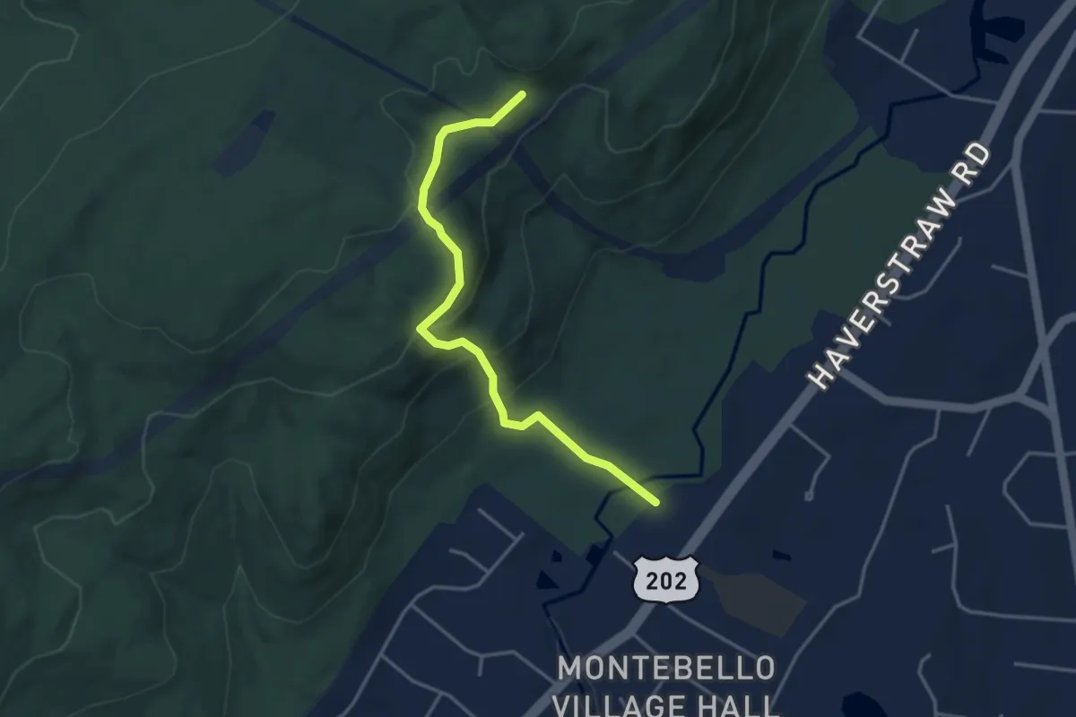
Easy · Trail
Mountain Trail
3.9 km · ↑ 227 m · 1 h 25 min
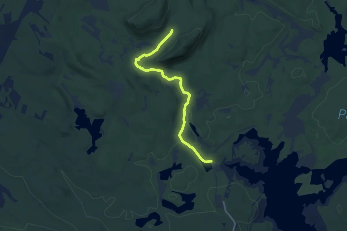
Easy · Trail
Mountain Trail
7.7 km · ↑ 133 m · 2 h 6 min
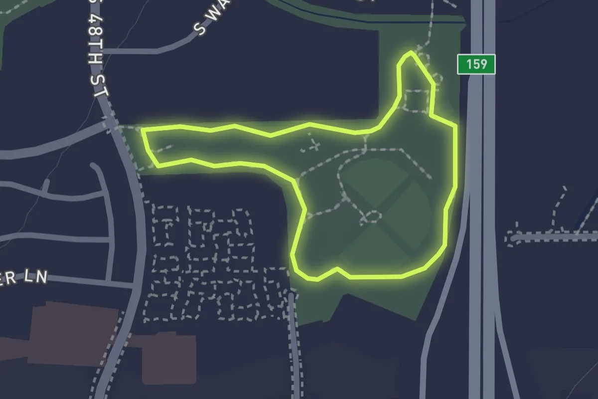
Easy · Trail
Mountain Vista Park Walking Path
1.9 km · ↑ 0 m · 29 min
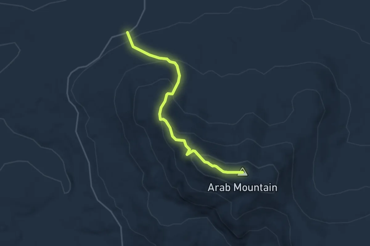
Easy · Summit
Mount Arab Trail
3.6 km · ↑ 228 m · 1 h 21 min
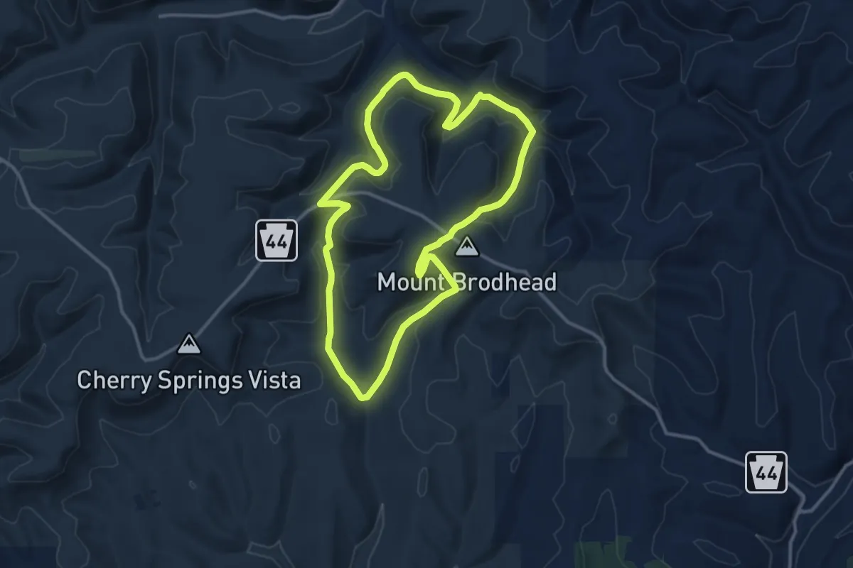
Medium · Trail
Mount Broadhead Trail System
12.0 km · ↑ 368 m · 3 h 47 min
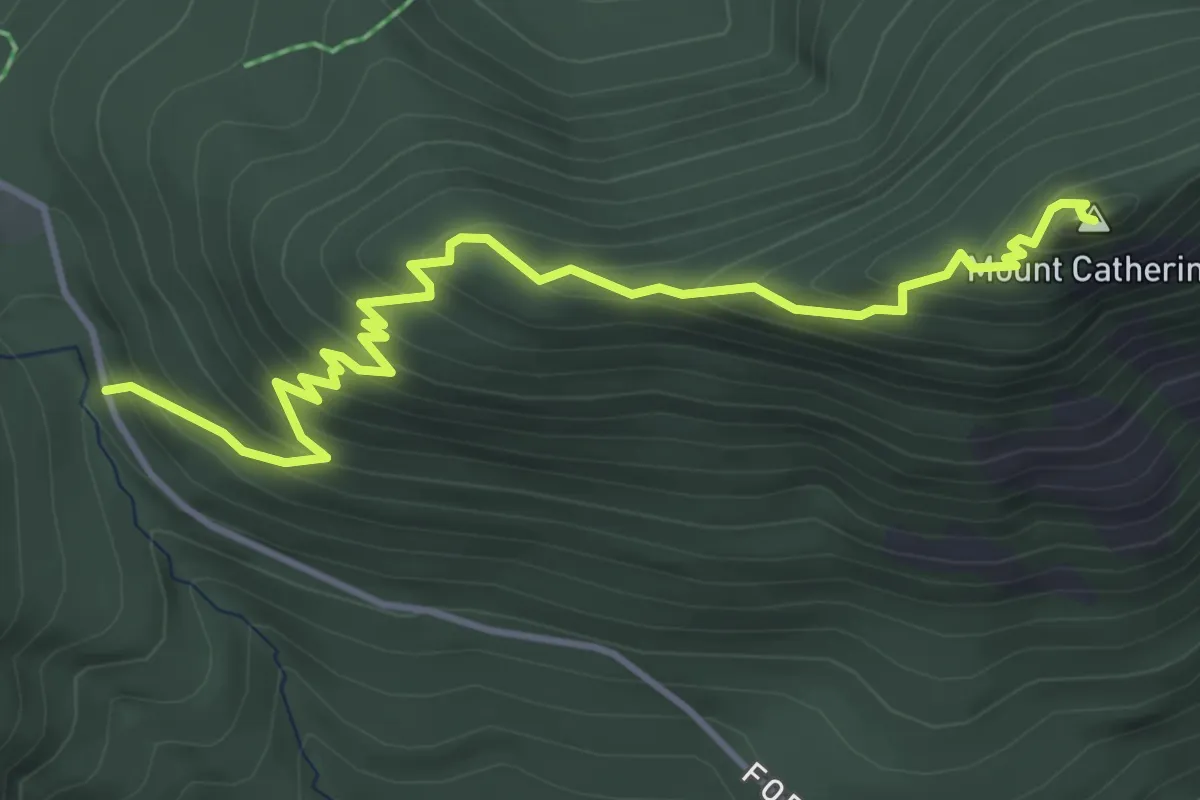
Demanding · Summit
Mount Catherine Trail
4.6 km · ↑ 393 m · 1 h 56 min
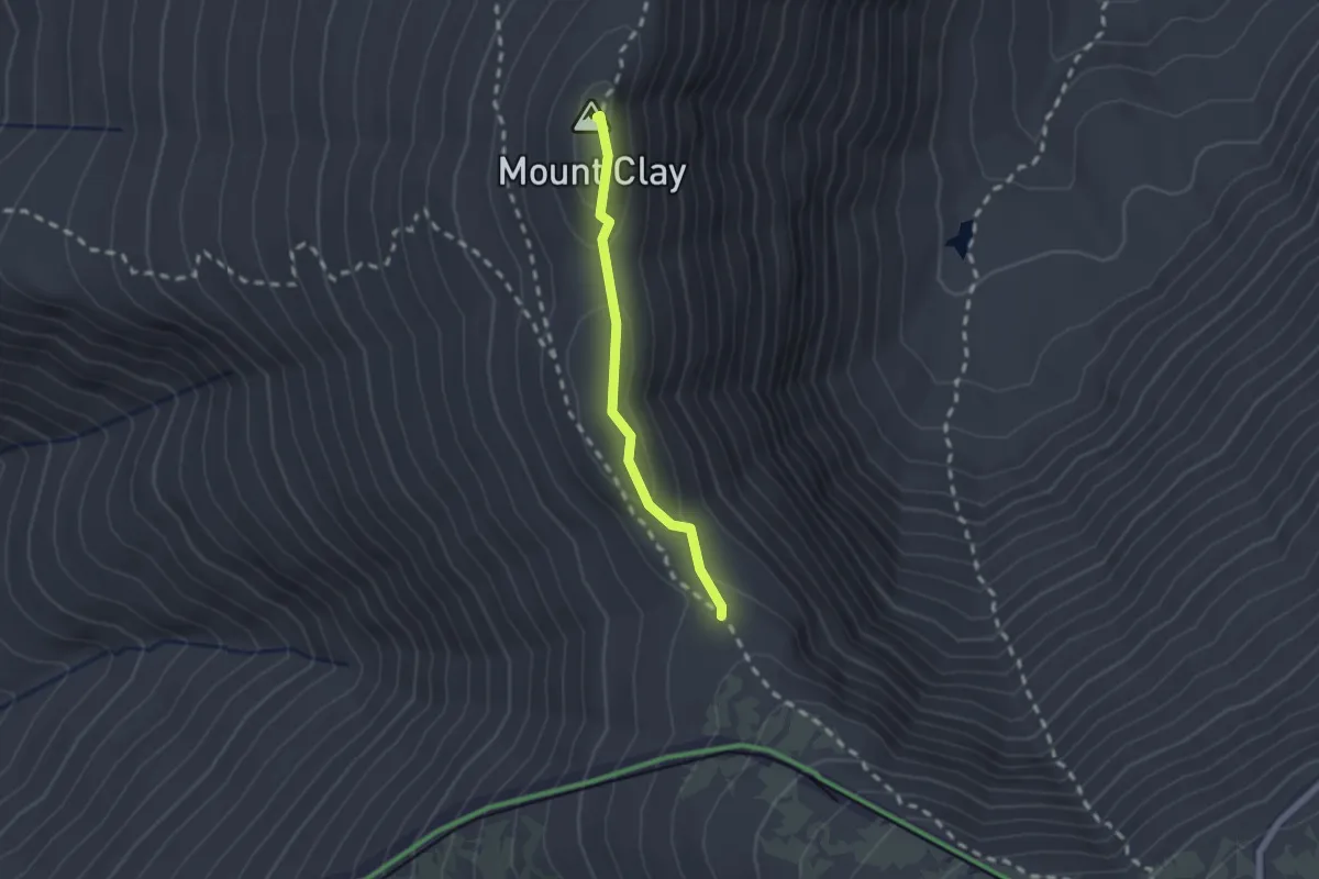
Medium · Summit
Mount Clay Loop
1.8 km · ↑ 81 m · 36 min
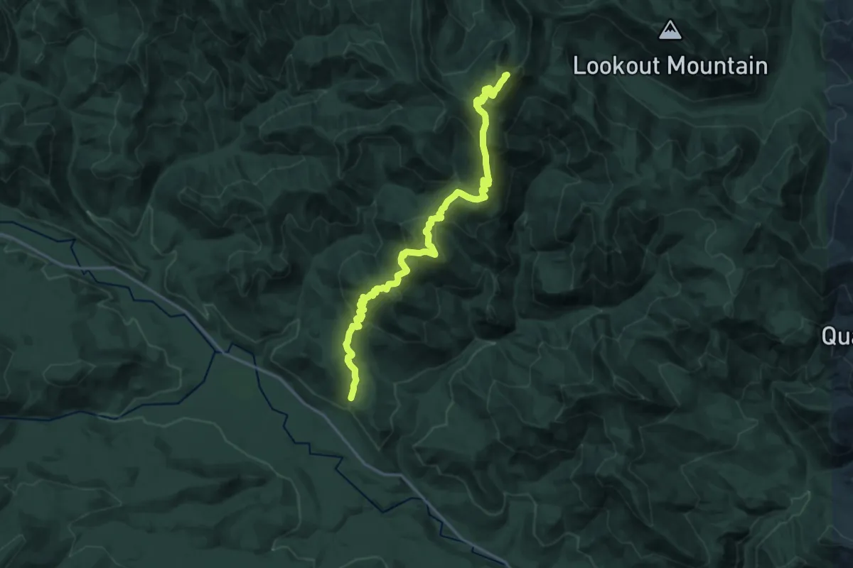
Demanding · Summit
Mount Clifty Trail
18.0 km · ↑ 1080 m · 6 h 36 min
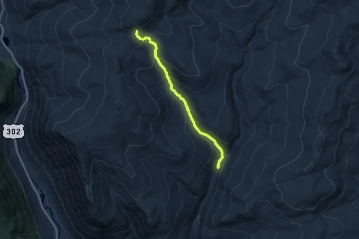
Medium · Cabin
Mount Clinton Trail
8.7 km · ↑ 587 m · 3 h 19 min
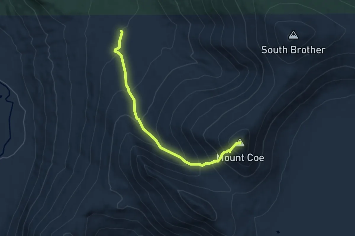
Medium · Summit
Mount Coe Trail
5.1 km · ↑ 508 m · 2 h 18 min
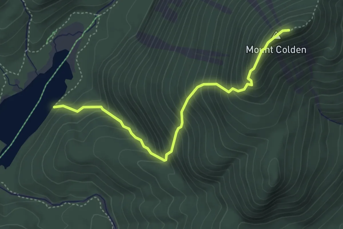
Medium · Summit
Mount Colden Trail
4.4 km · ↑ 586 m · 2 h 18 min
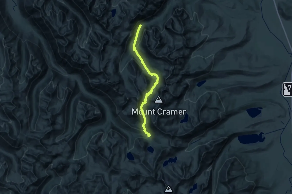
Medium · Trail
Mount Cramer Trail
14.1 km · ↑ 444 m · 4 h 37 min
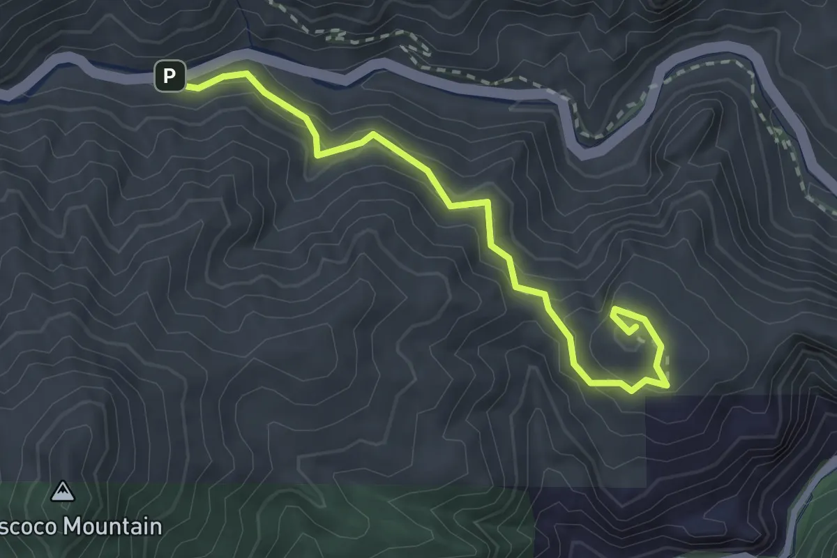
Demanding · Summit
Mount Cutler Trail
3.1 km · ↑ 168 m · 1 h 6 min
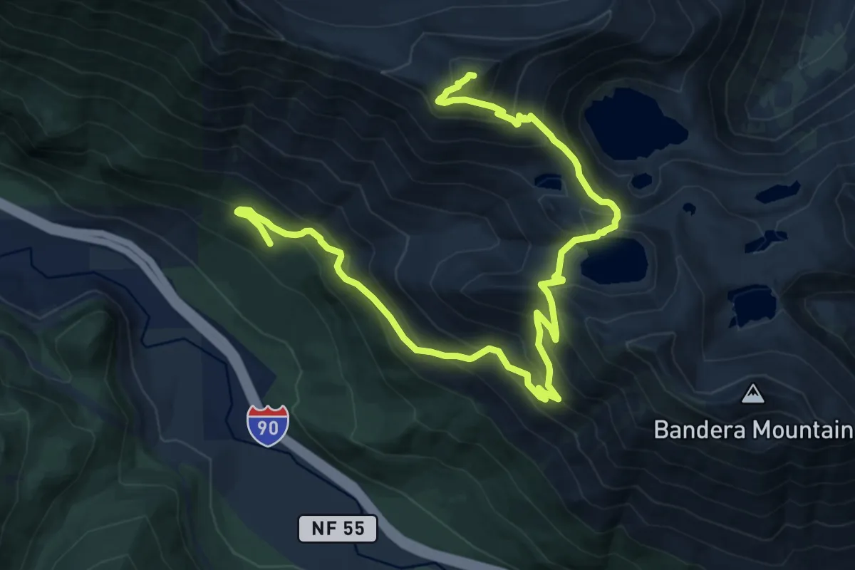
Demanding · Summit
Mount Defiance
15.8 km · ↑ 1248 m · 6 h 26 min
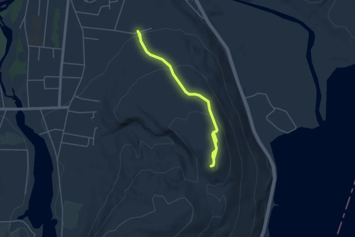
Easy · Summit
Mount Defiance Road Walk
4.3 km · ↑ 182 m · 1 h 25 min
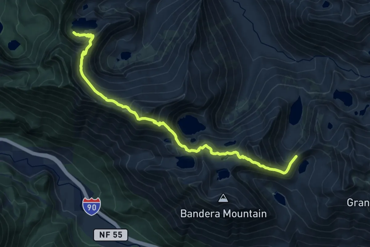
Demanding · Trail
Mount Defiance Trail
18.9 km · ↑ 1207 m · 7 h 4 min
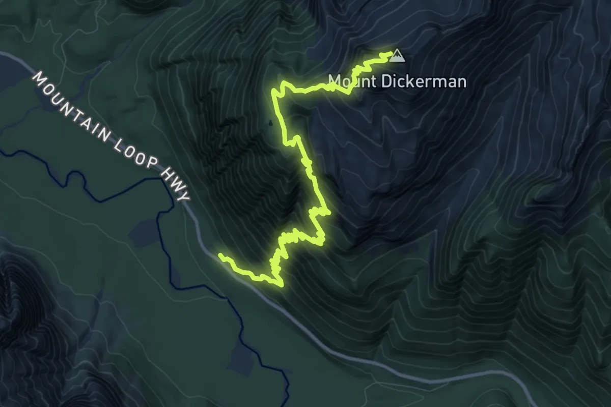
Demanding · Summit
Mount Dickerman Trail
12.5 km · ↑ 1241 m · 5 h 38 min
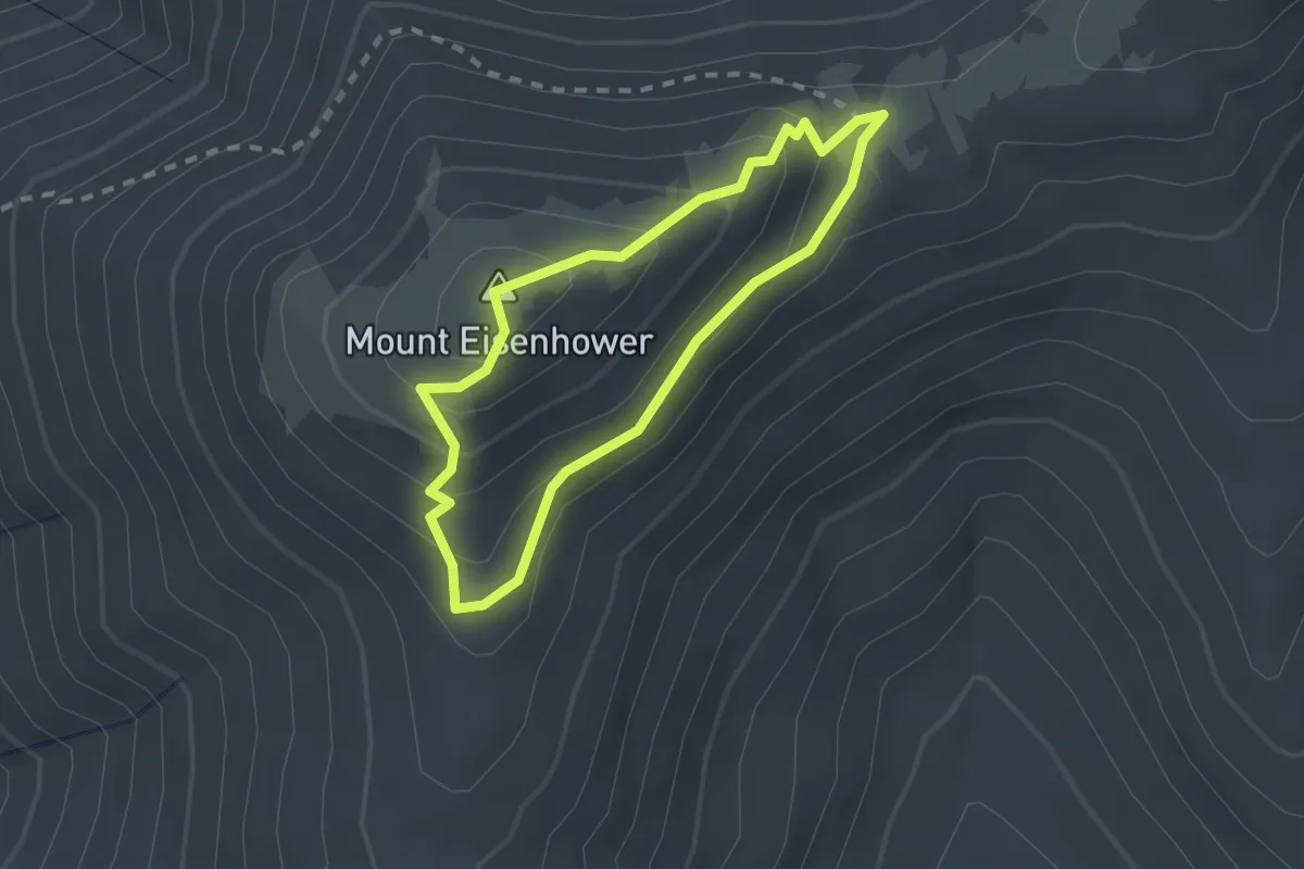
Easy · Summit
Mount Eisenhower Loop
1.9 km · ↑ 120 m · 43 min
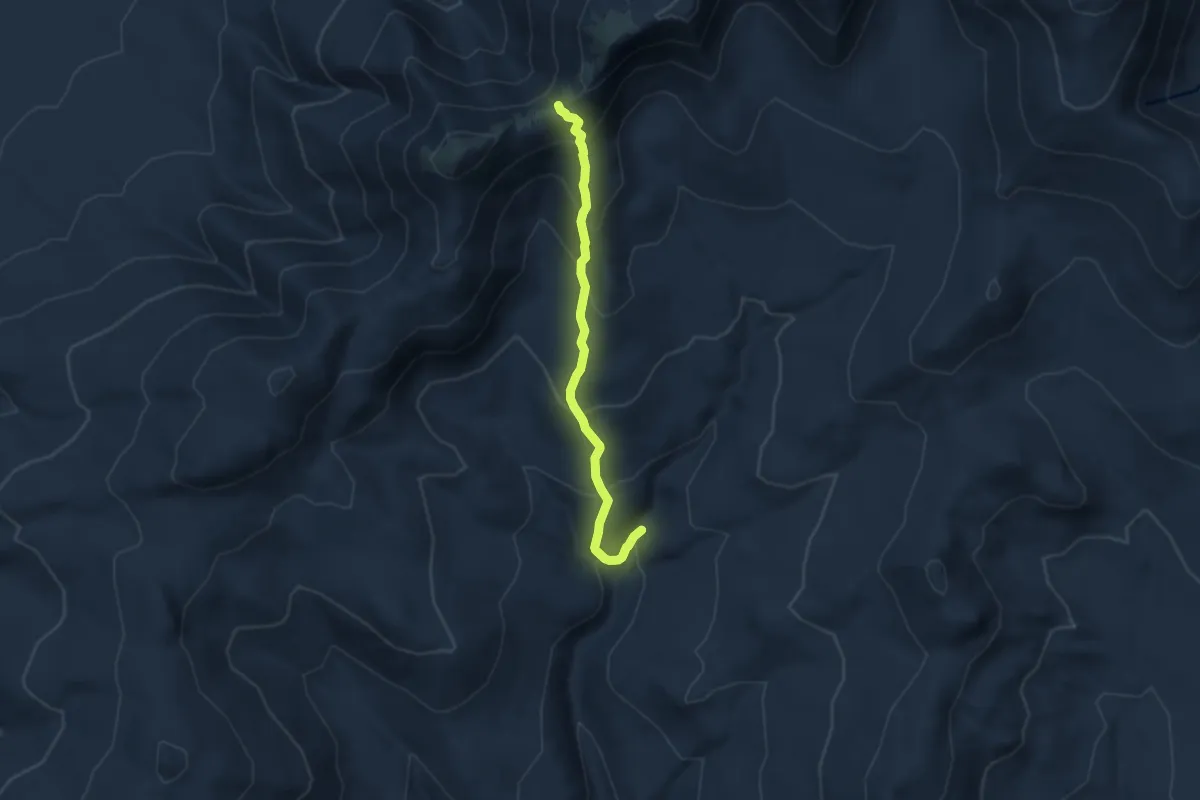
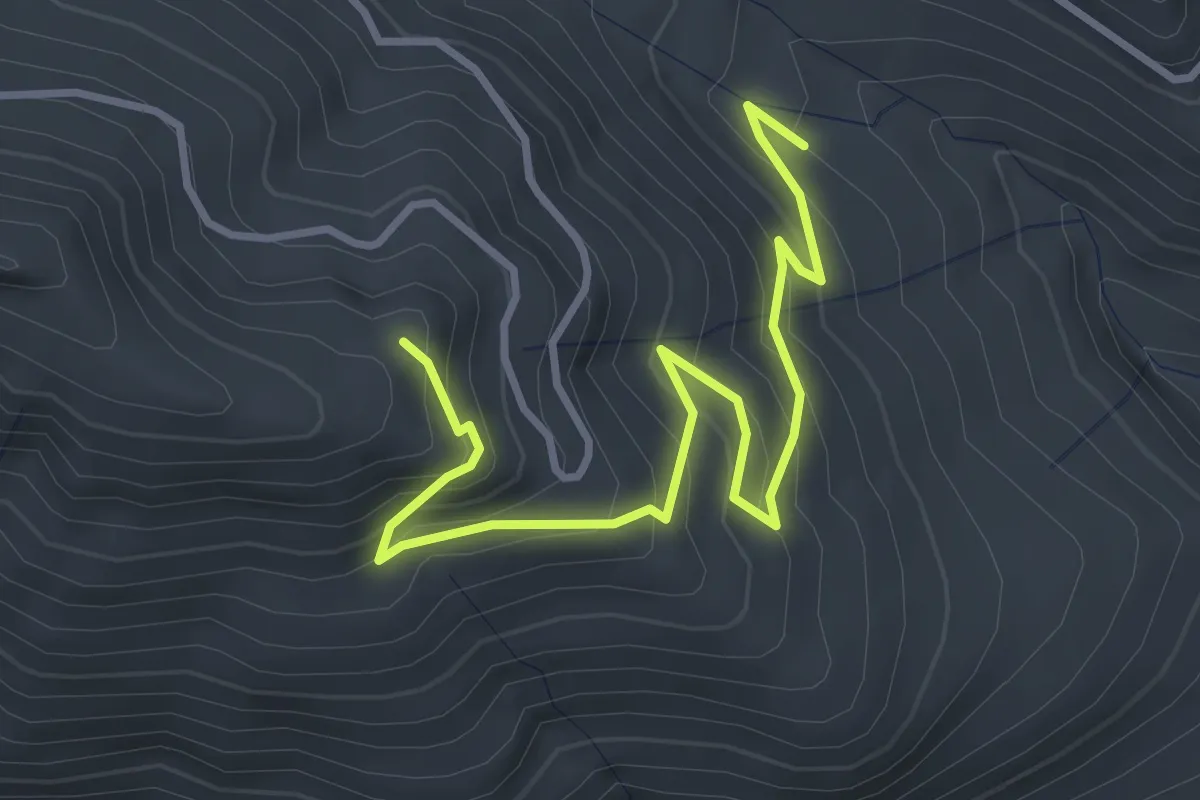
Medium · Trail
Mount Eisenhower Trail
7.6 km · ↑ 600 m · 3 h 5 min
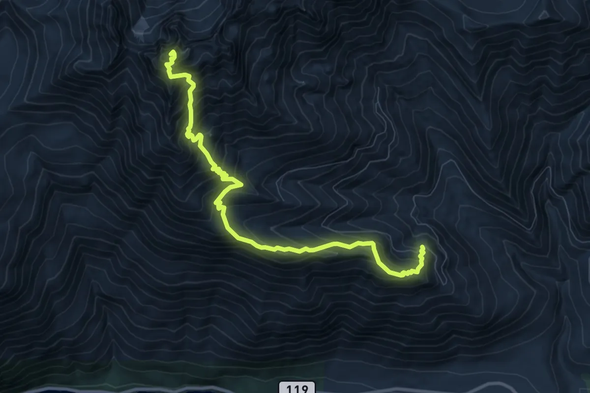
Easy · Trail
Mount Ellinor Connector Trail #827.2
3.9 km · ↑ 284 m · 1 h 32 min
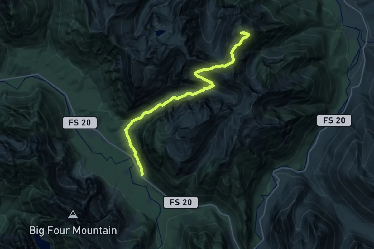
Demanding · Summit
Mount Ellinor Trail #812
9.6 km · ↑ 1070 m · 4 h 35 min
Expert · Summit
Mount Forgotten Trail
18.5 km · ↑ 1518 m · 7 h 39 min
Easy · Trail
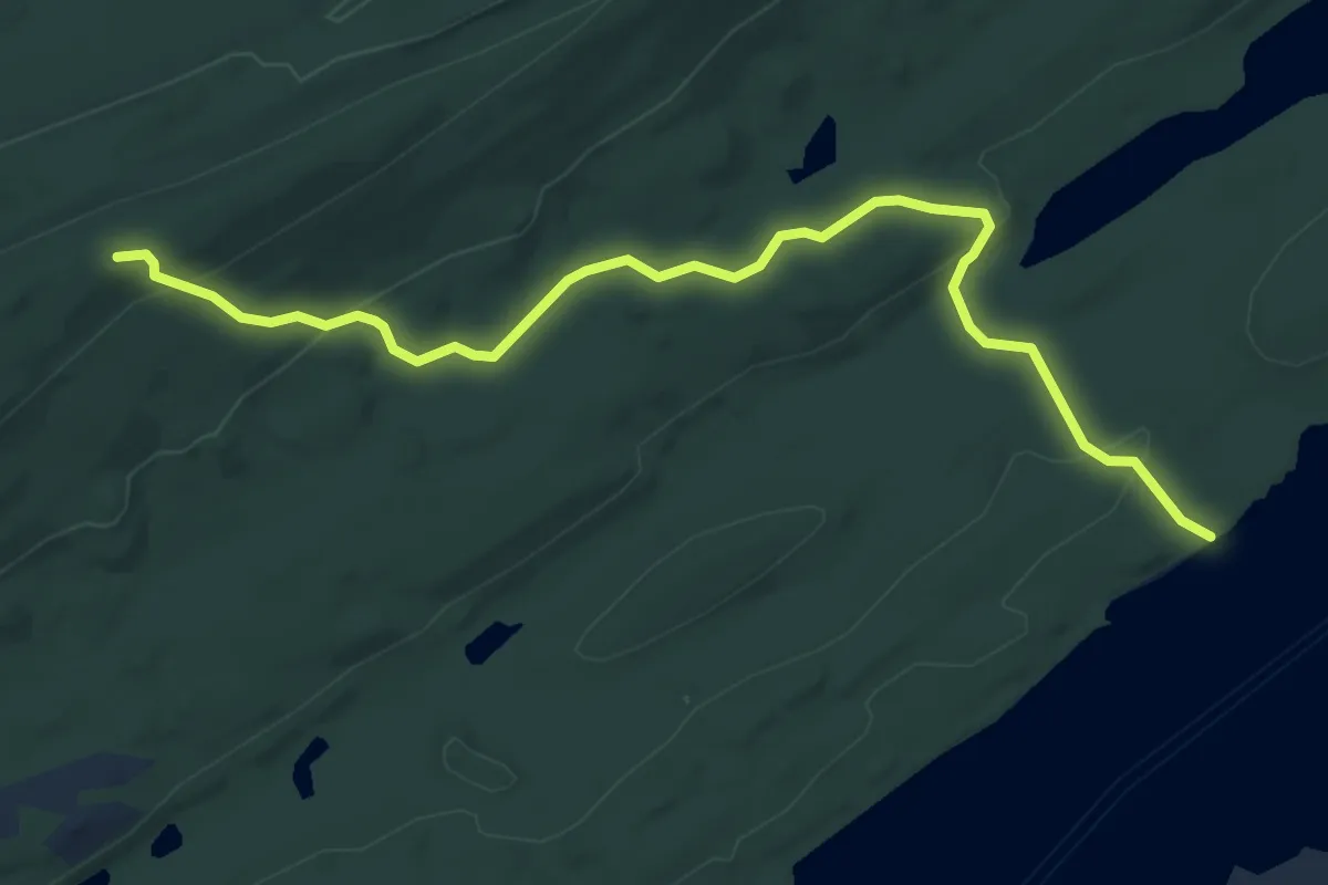
Mount Franklin Trail
6.1 km · ↑ 168 m · 1 h 48 min
Medium · Trail
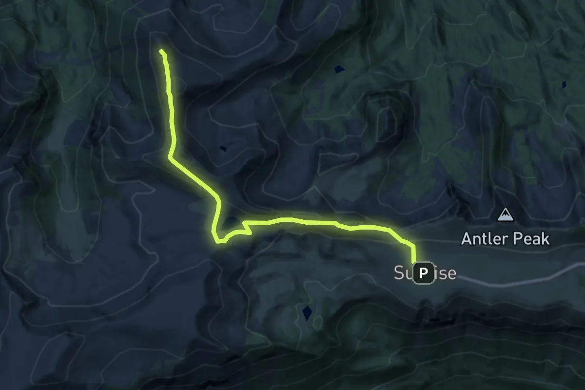
Mount Fremont Lookout Trail
9.1 km · ↑ 367 m · 2 h 56 min
Demanding · Trail
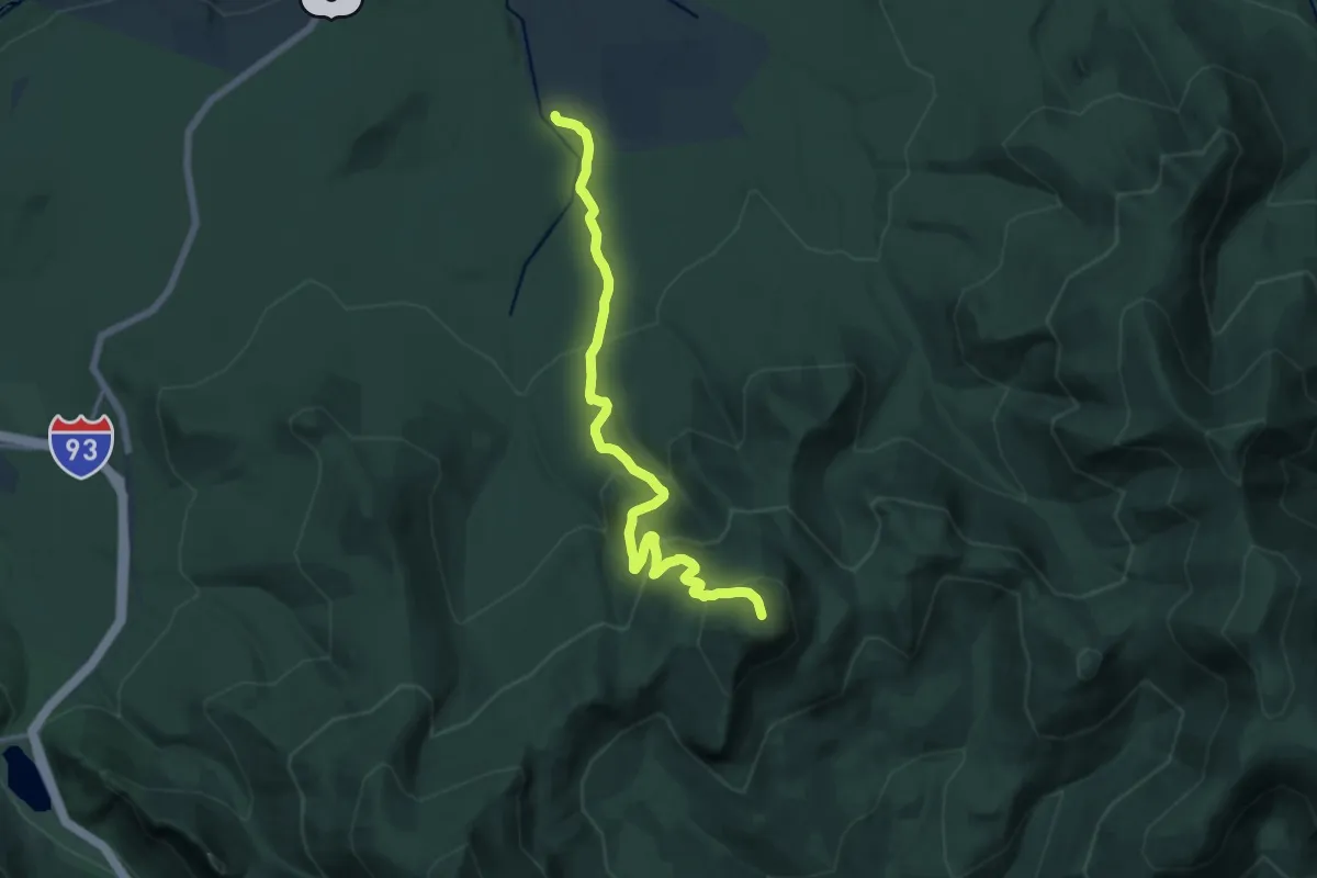
Mount Garfield Trail
14.7 km · ↑ 857 m · 5 h 19 min
Medium · Summit
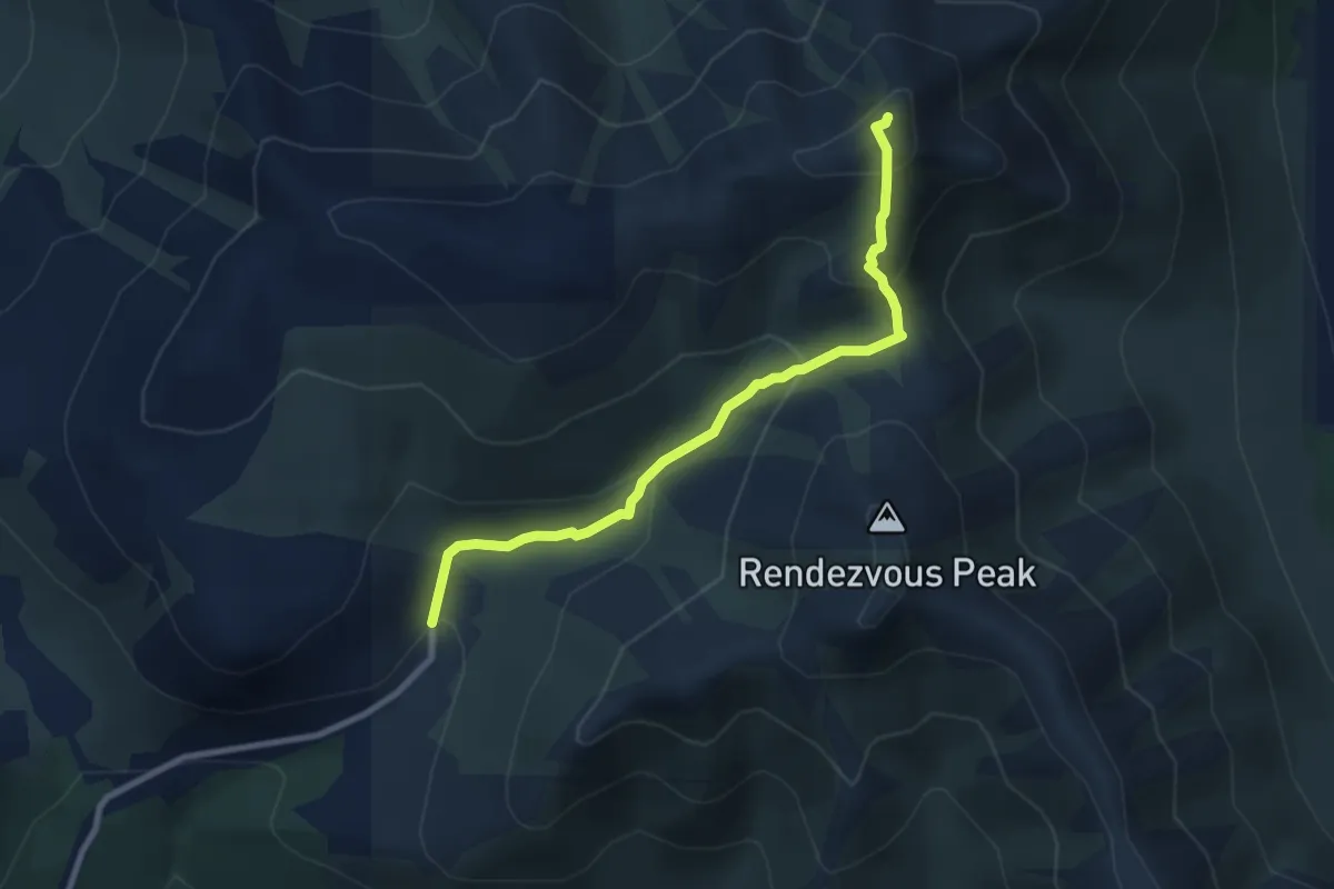
Mount Gordon Lyon Trail
5.8 km · ↑ 435 m · 2 h 19 min