Trails in United States
10,367 hiking trails, each with its route, climb, walking time and grade.
All trails, page 126 of 216
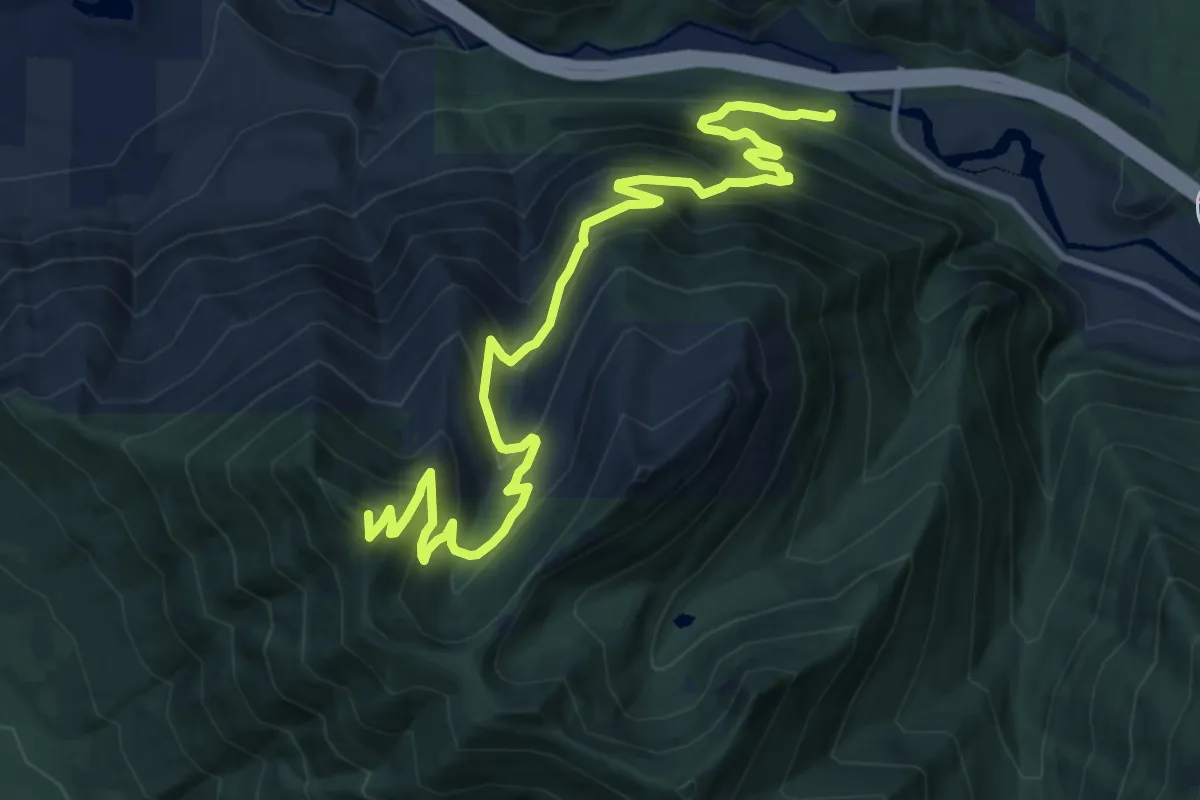
Demanding · Summit
Mount Washington Trail
13.1 km · ↑ 1086 m · 5 h 26 min
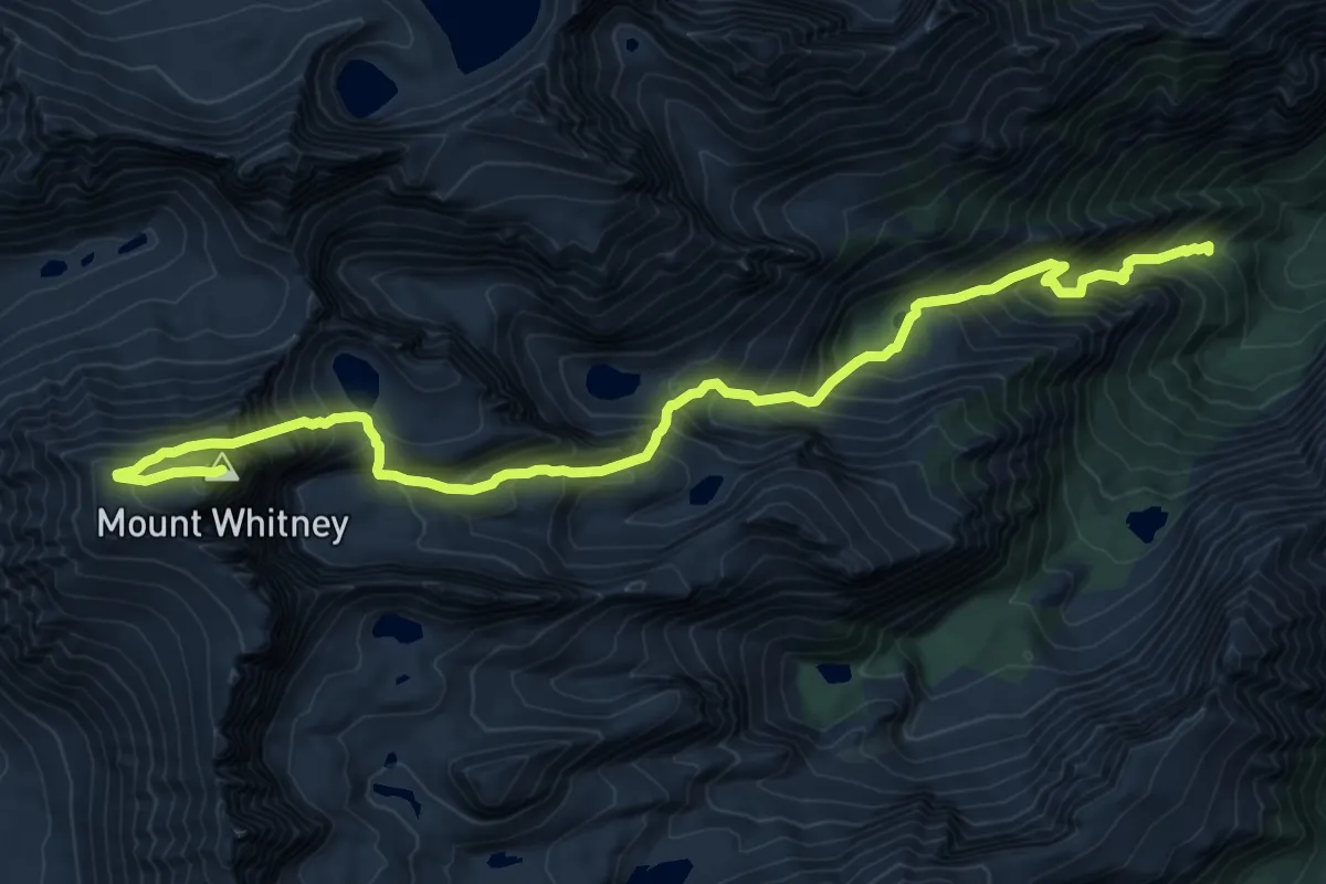
Expert · Summit
Mount Whitney Mountaineer's Route
12.4 km · ↑ 1778 m · 6 h 47 min
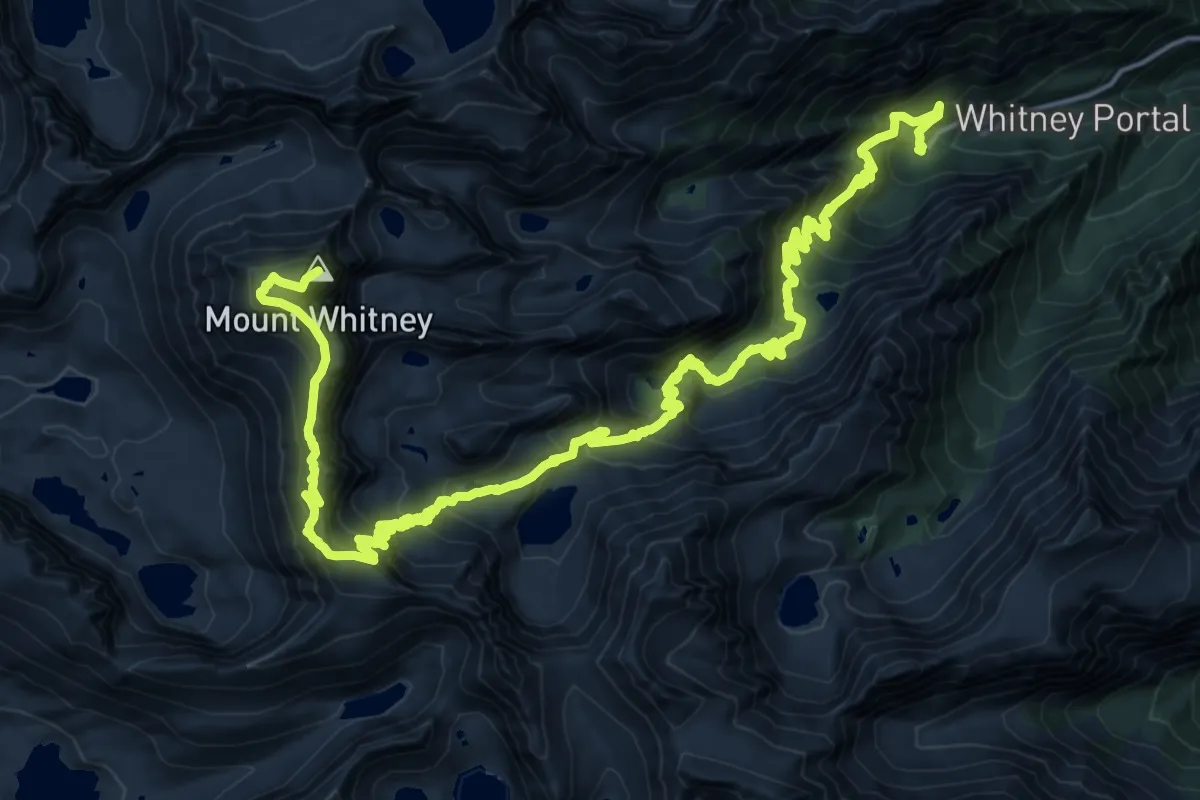
Demanding · Summit
Mount Whitney Trail
32.5 km · ↑ 2104 m · 12 h 14 min
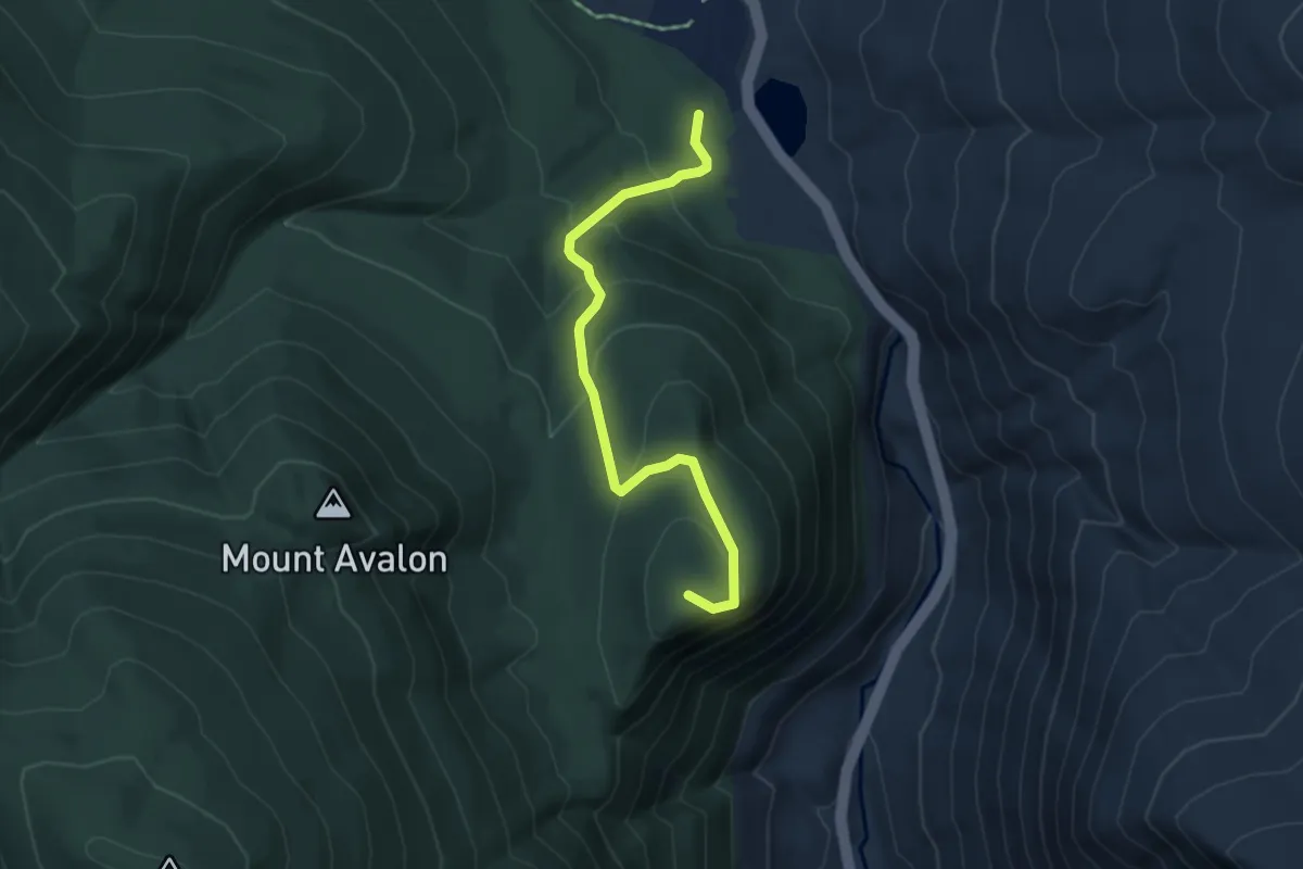
Easy · Summit
Mount Willard Trail
4.8 km · ↑ 303 m · 1 h 47 min
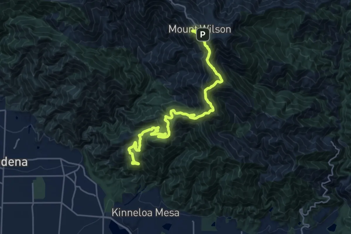
Demanding · Summit
Mount Wilson Toll Road
21.3 km · ↑ 1059 m · 7 h 36 min
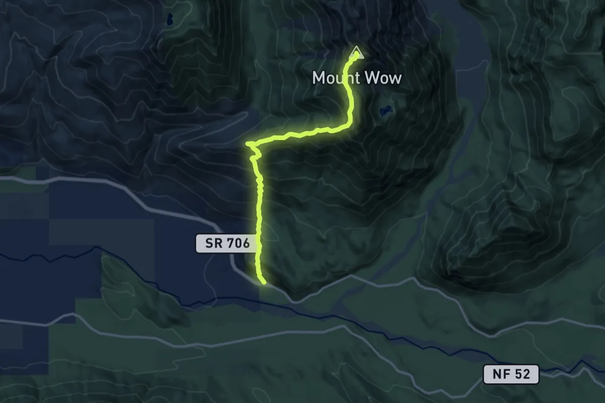
Expert · Summit
Mount Wow
10.8 km · ↑ 1423 m · 5 h 38 min
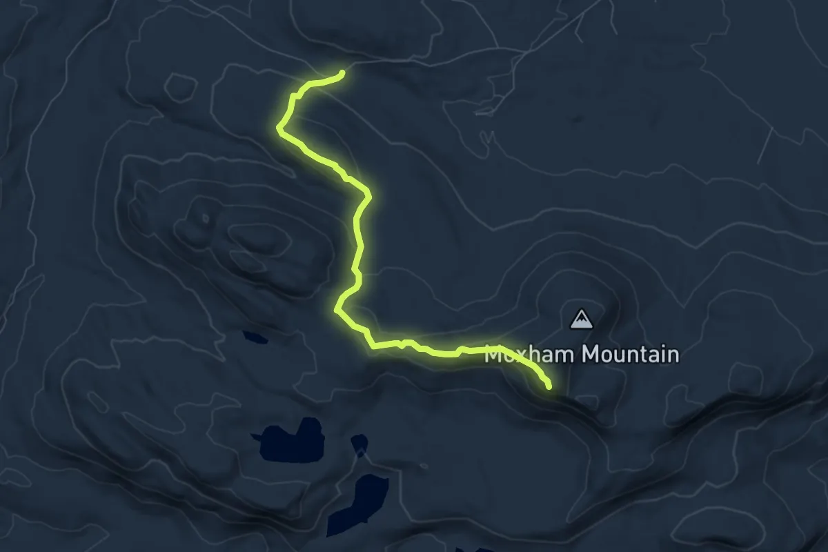
Medium · Trail
Moxham Mountain Trail
7.9 km · ↑ 411 m · 2 h 45 min
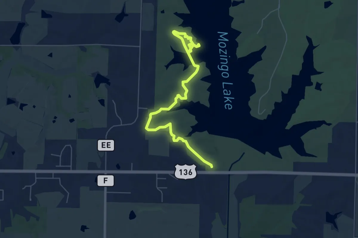
Easy · Trail
Mozingo Nature Trails
4.0 km · ↑ 45 m · 1 h 5 min
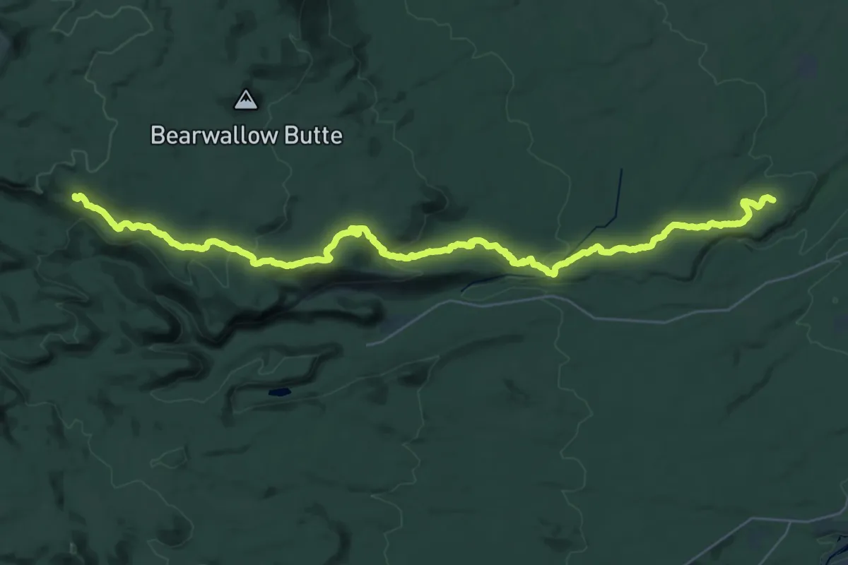
Demanding · Trail
Mrazek Trail
19.8 km · ↑ 57 m · 5 h 24 min
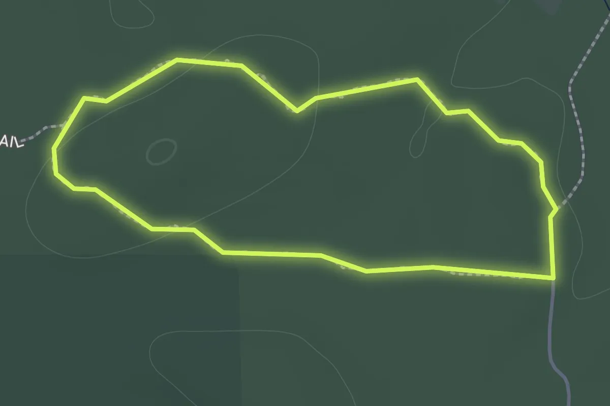
Easy · Trail
Mraz Trail
1.4 km · ↑ 20 m · 24 min
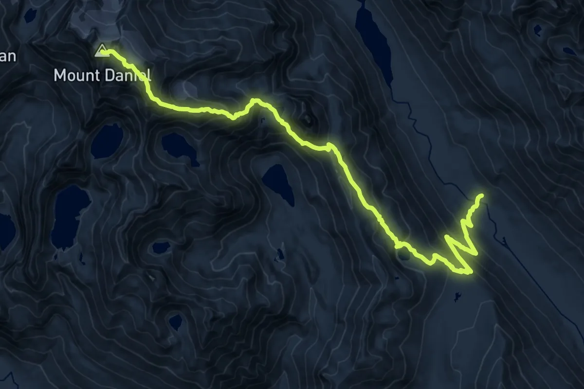
Demanding · Summit
Mt. Daniel
23.3 km · ↑ 1673 m · 9 h 8 min
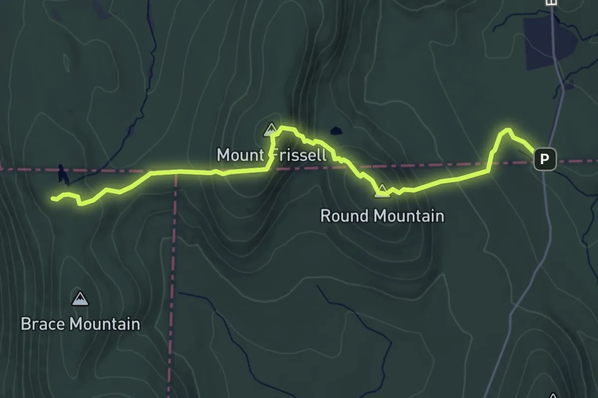
Medium · Trail
Mt. Frissell
5.7 km · ↑ 374 m · 2 h 10 min
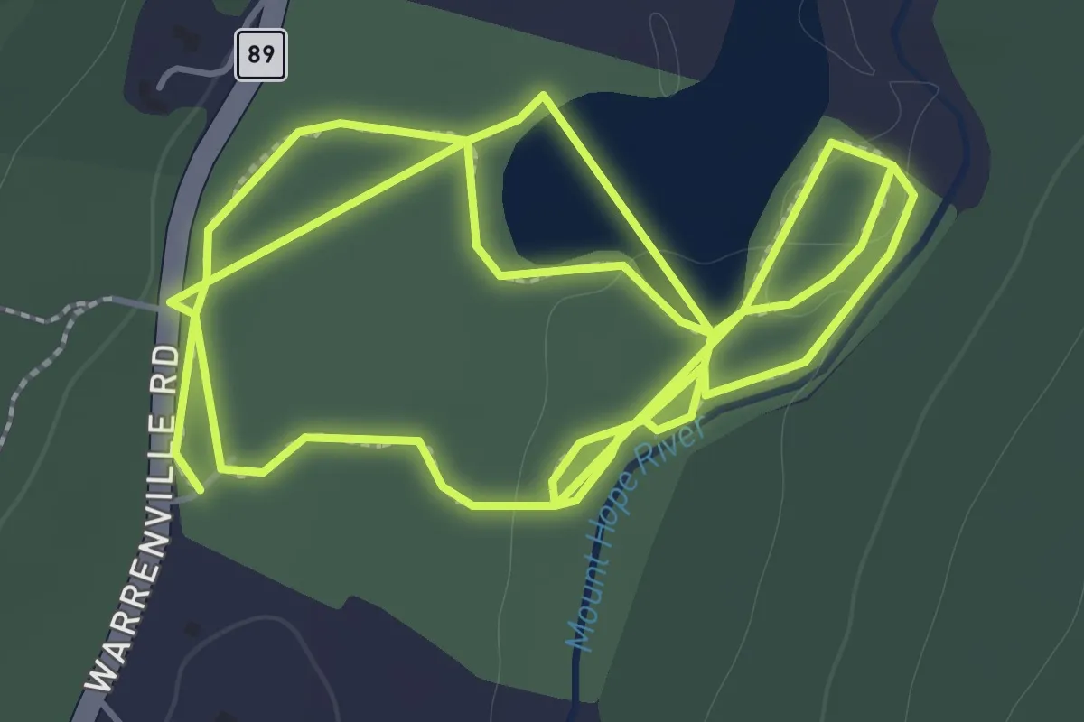
Easy · Trail
Mt. Hope Park Trails
4.9 km · ↑ 15 m · 1 h 12 min
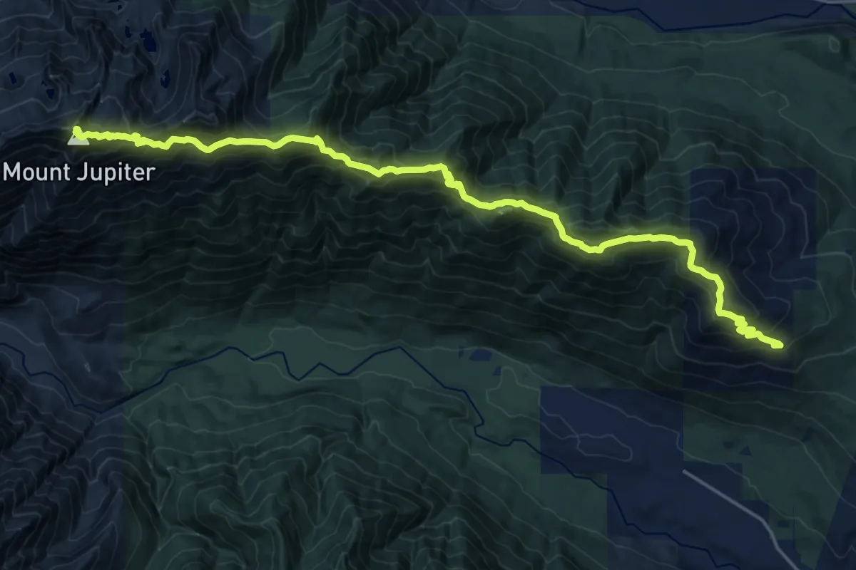
Demanding · Summit
Mt. Jupiter Trail #809
21.2 km · ↑ 1622 m · 8 h 31 min
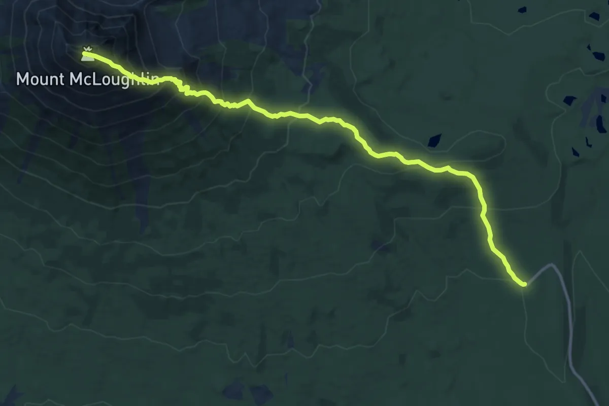
Demanding · Summit
Mt. McLoughlin Trail
13.8 km · ↑ 1179 m · 5 h 49 min
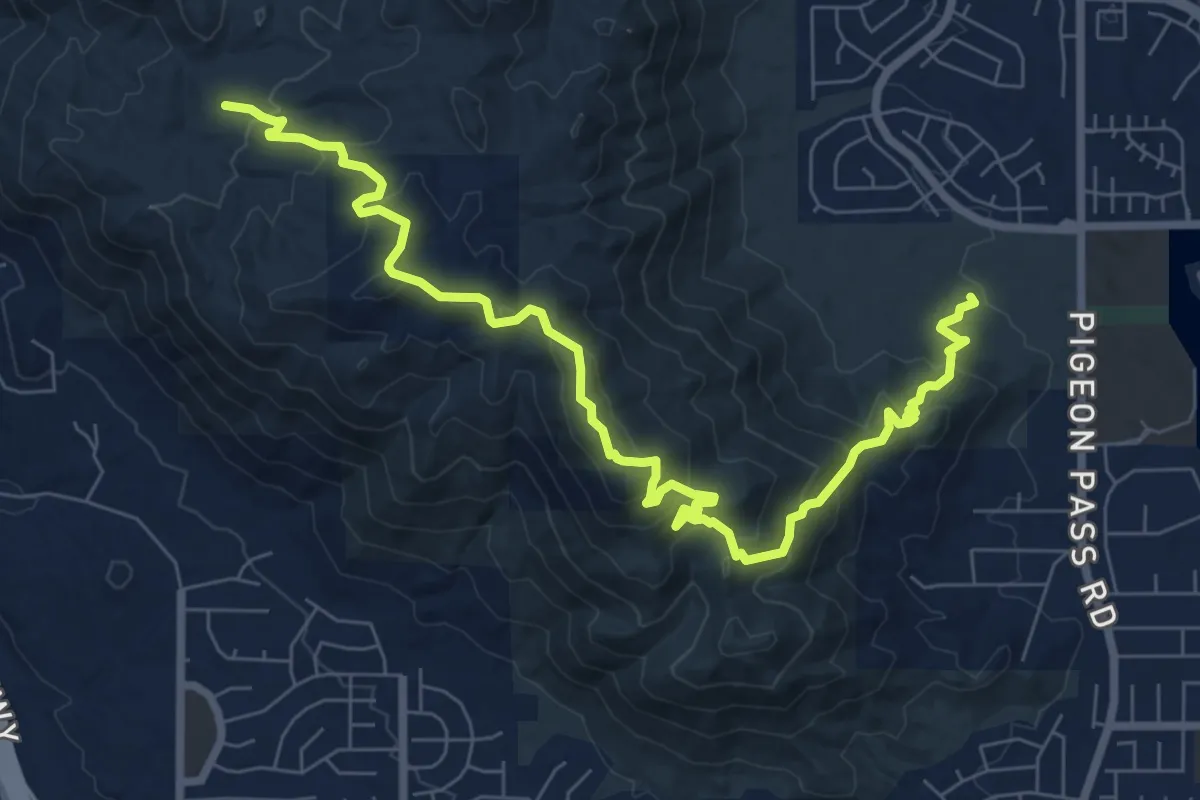
Medium · Trail
"M" Trail
11.1 km · ↑ 661 m · 4 h 3 min
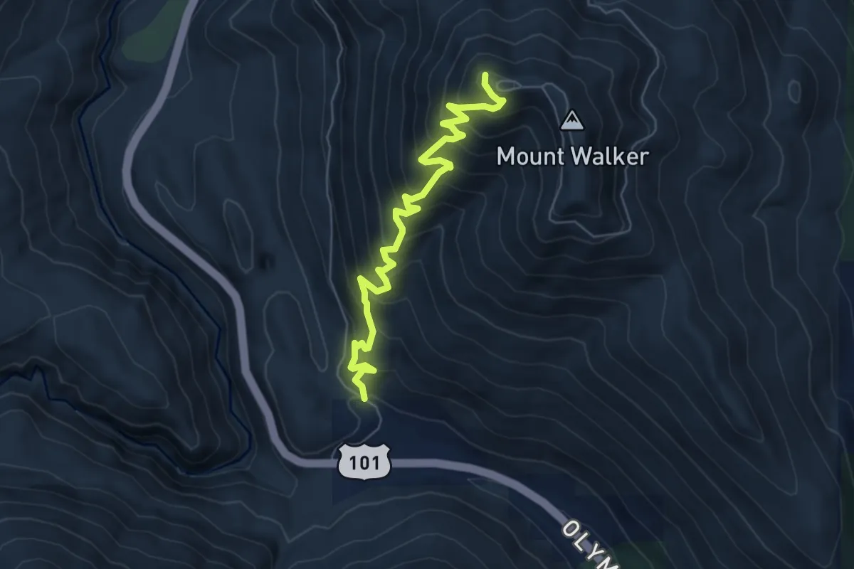
Medium · Trail
Mt. Walker Trail #894
6.1 km · ↑ 635 m · 2 h 49 min
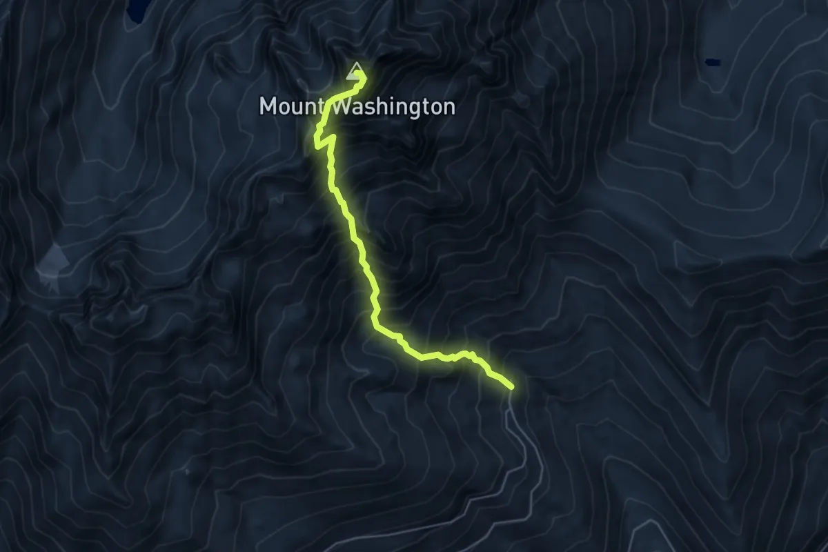
Demanding · Summit
Mt. Washington Trail
4.4 km · ↑ 977 m · 3 h 10 min
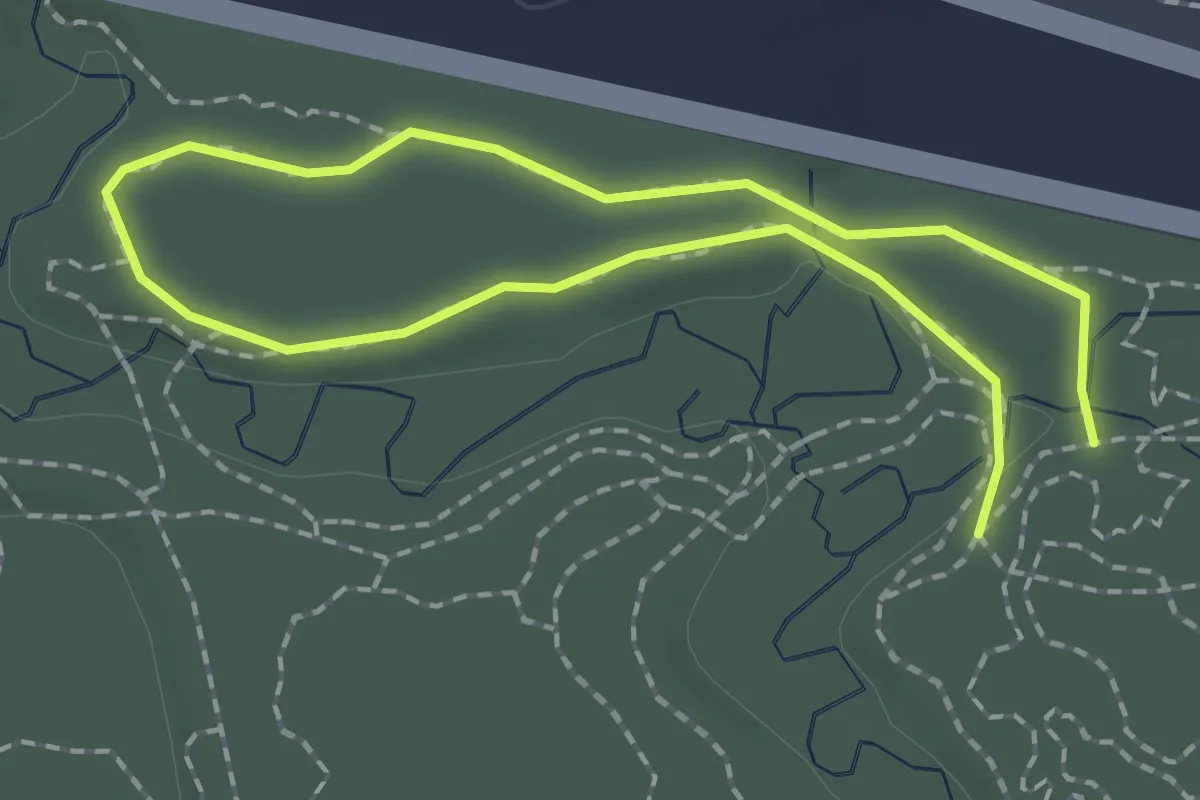
Easy · Trail
Mud Creek Loop
1.5 km · ↑ 13 m · 25 min
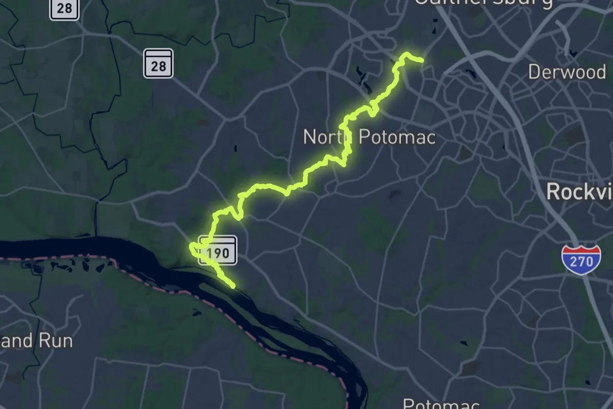
Demanding · Trail
Muddy Branch Greenway Trail
19.8 km · ↑ 134 m · 5 h 16 min
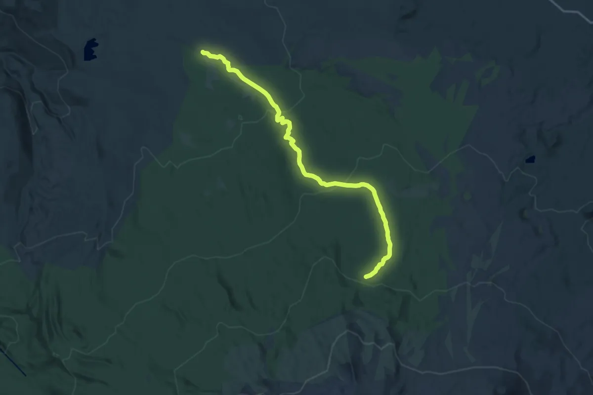
Medium · Trail
Muddy Meadows Trail #13
15.2 km · ↑ 443 m · 4 h 34 min
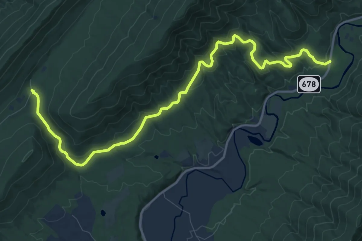
Medium · Trail
Mudhole Gap Trail
13.7 km · ↑ 309 m · 3 h 54 min
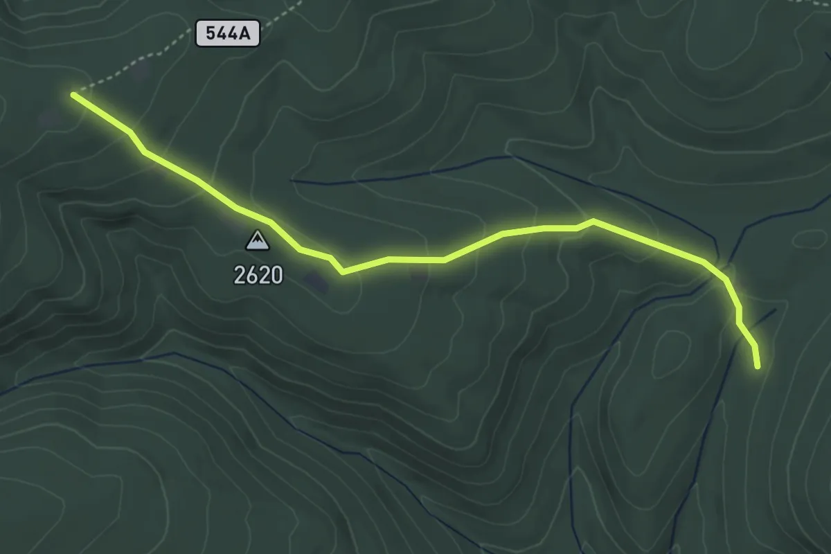
Easy · Trail
Mud Pond Gap Trail
5.0 km · ↑ 213 m · 1 h 38 min
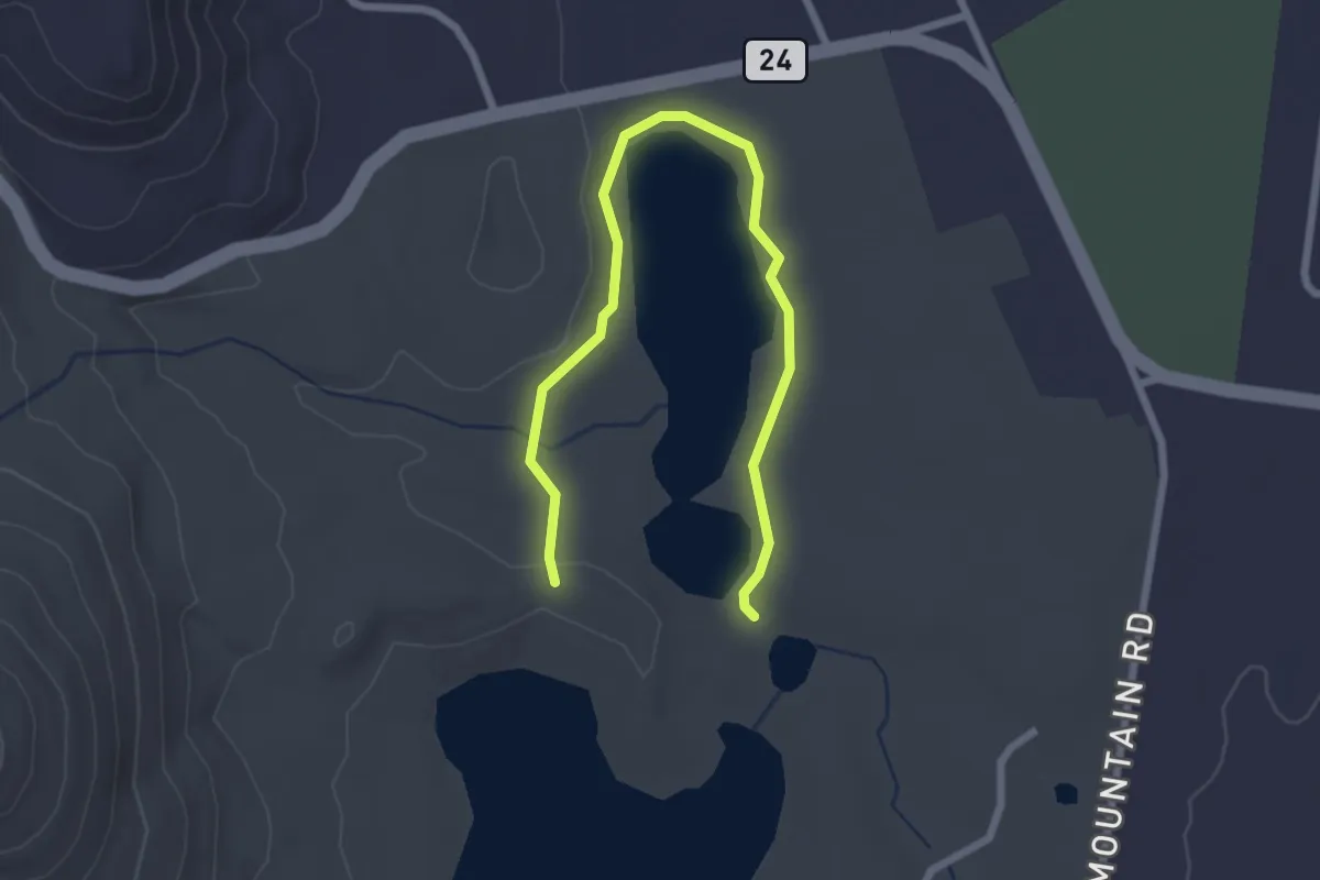
Easy · Trail
Mud Pond Trail
3.1 km · ↑ 40 m · 49 min
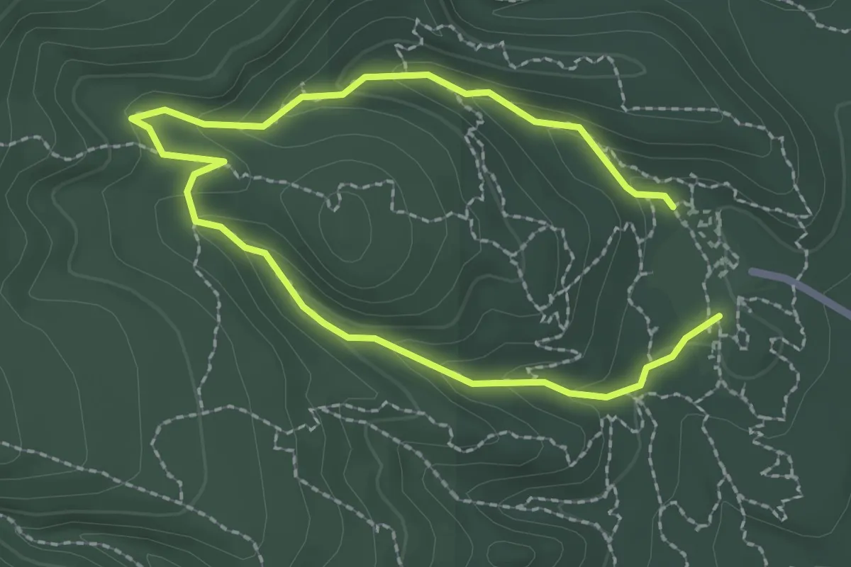
Medium · Trail
Mud Spring Loop
2.0 km · ↑ 83 m · 40 min
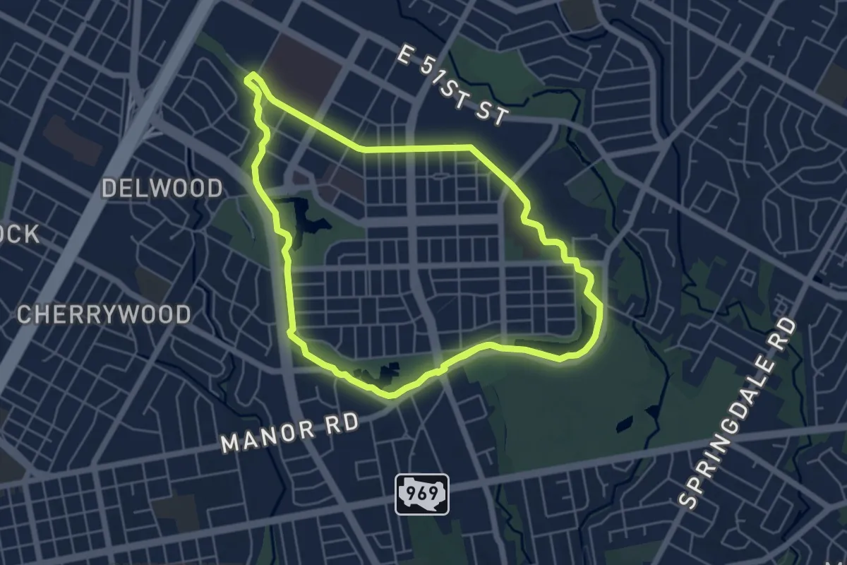
Easy · Trail
Mueller Trail
6.5 km · ↑ 25 m · 1 h 41 min
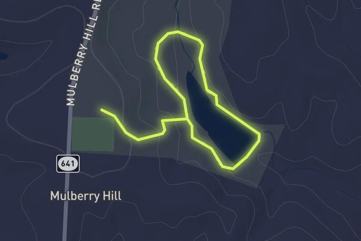
Easy · Trail
Mulberry Hill Trail
2.4 km · ↑ 60 m · 42 min
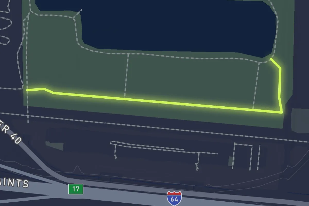
Easy · Trail
Mulch Trail
2.2 km · ↑ 0 m · 31 min
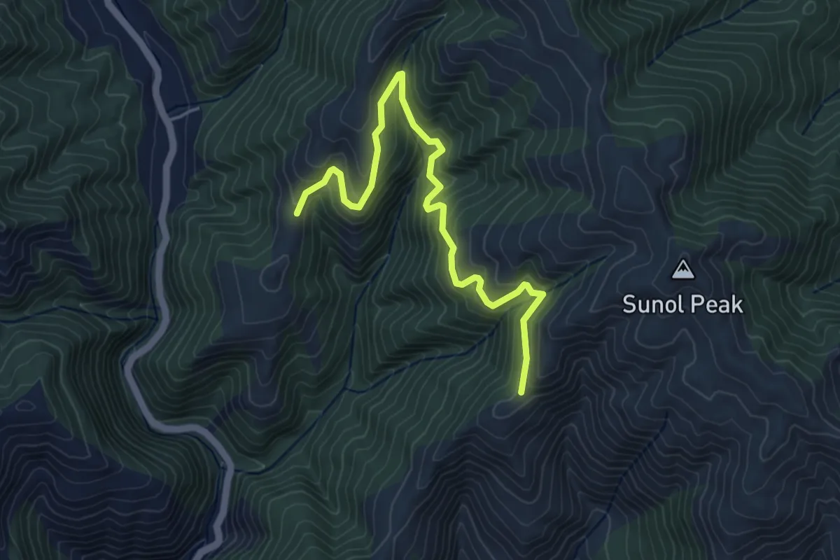
Medium · Trail
Mule Deer Trail
5.4 km · ↑ 339 m · 2 h 1 min
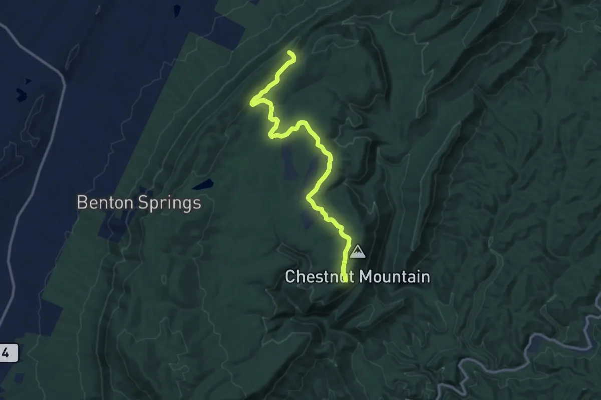
Medium · Trail
Mulepen Branch Track
12.1 km · ↑ 153 m · 3 h 11 min
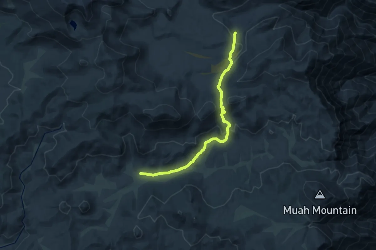
Medium · Trail
Mulkey Pass Trail
17.2 km · ↑ 592 m · 5 h 21 min
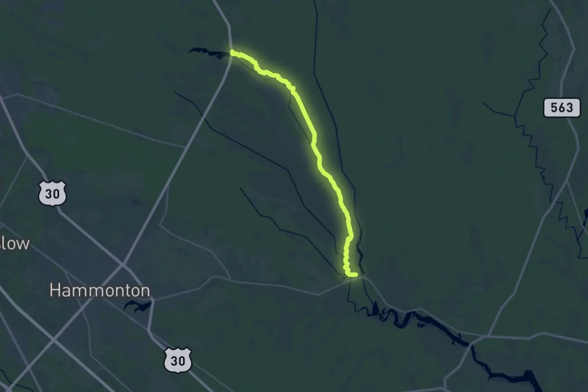
Demanding · Trail
Mullica River Trail (yellow)
30.0 km · ↑ 9 m · 7 h 5 min
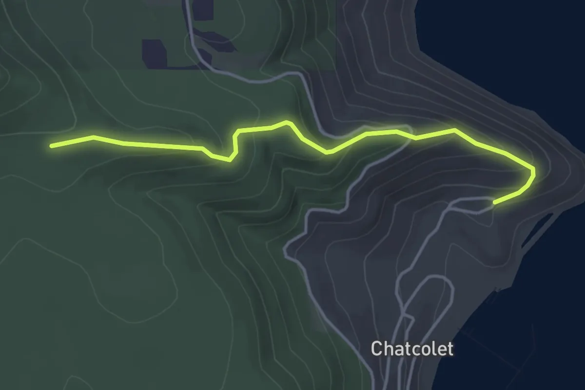
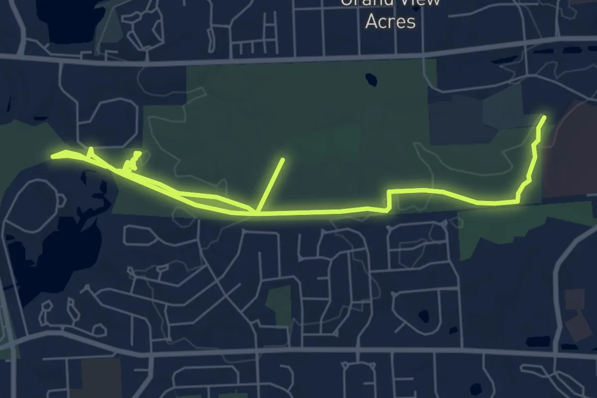
Easy · Trail
Multan Road Trail
3.9 km · ↑ 209 m · 1 h 22 min
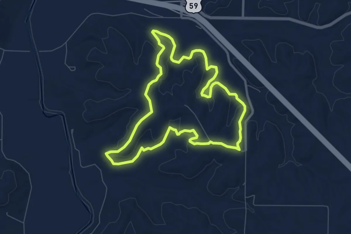
Medium · Trail
Multi-Use (Hike)
9.4 km · ↑ 92 m · 2 h 26 min
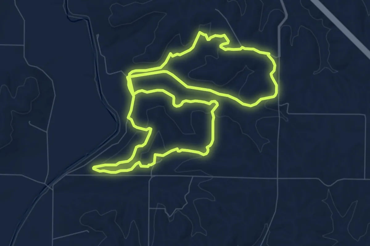
Easy · Trail
Multi-Use Trail A
7.9 km · ↑ 179 m · 2 h 21 min
Medium · Trail
Multi-Use Trail B
10.9 km · ↑ 199 m · 3 h 10 min
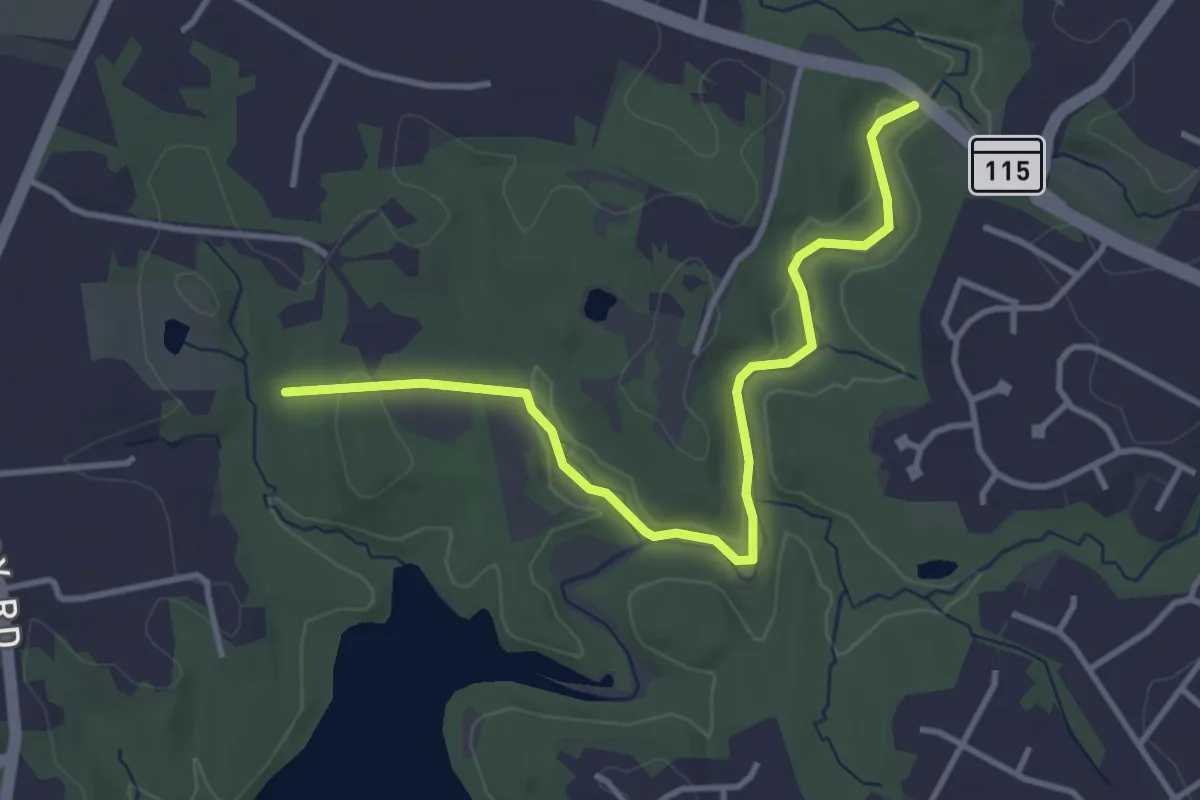
Easy · Trail
Muncaster Mill Trail
4.3 km · ↑ 32 m · 1 h 5 min
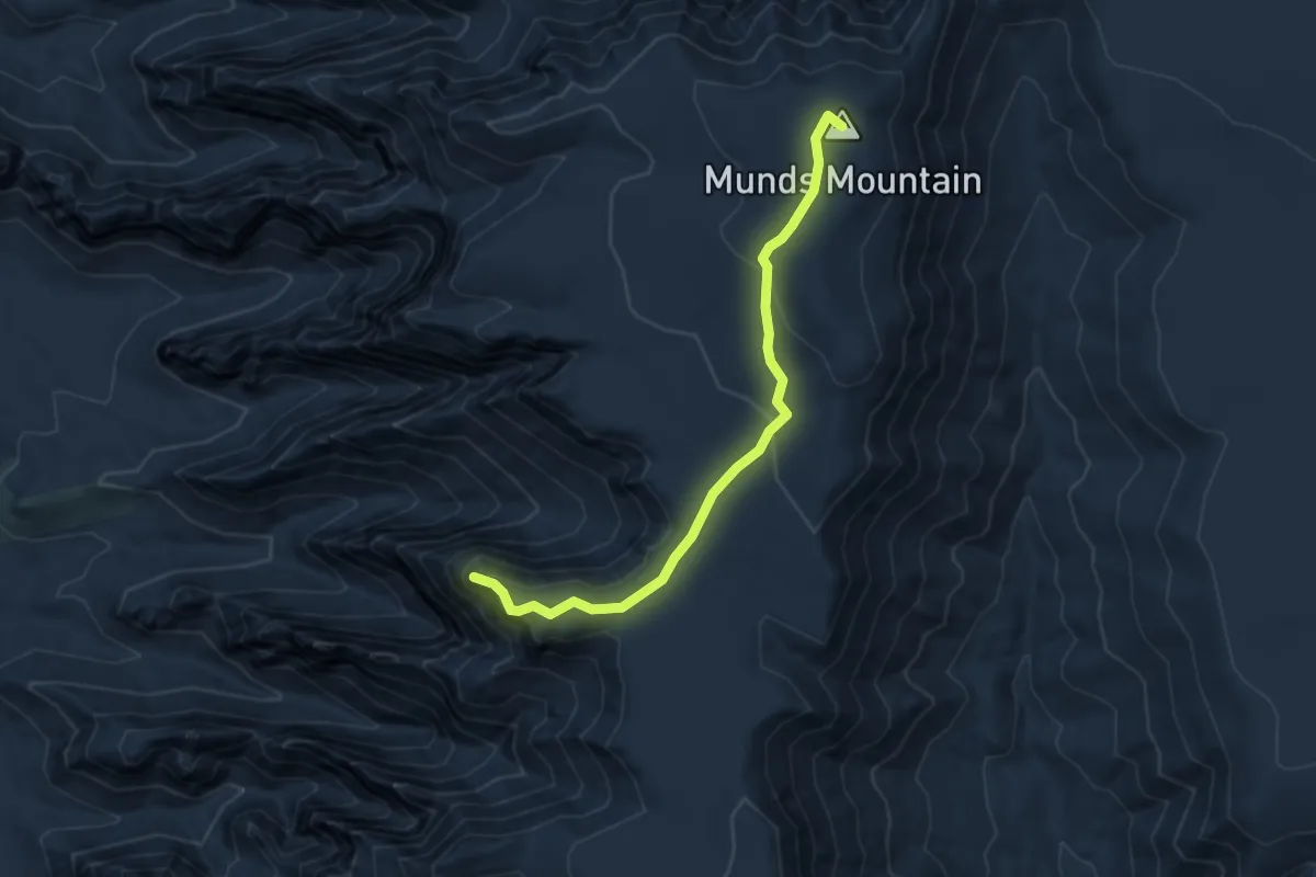
Easy · Summit
Munds Mountain #77
4.5 km · ↑ 205 m · 1 h 31 min
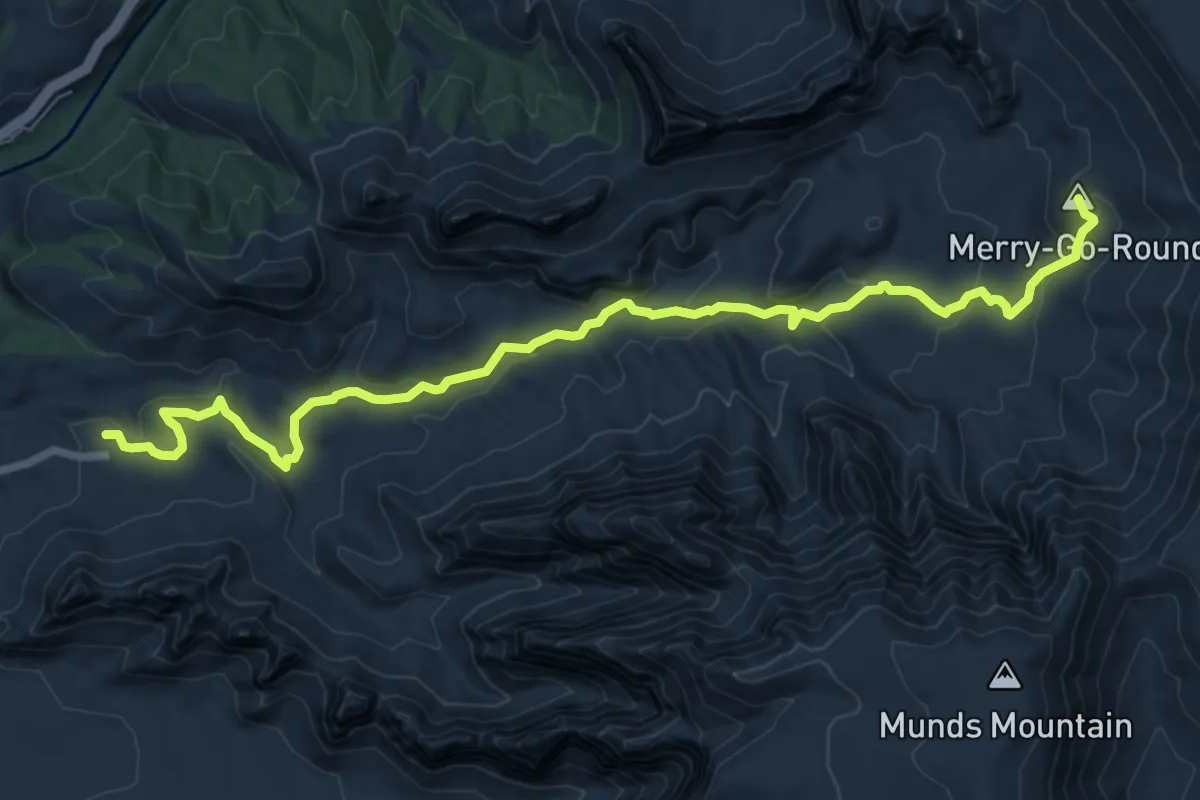
Demanding · Summit
Munds Wagon #78
10.4 km · ↑ 416 m · 3 h 21 min
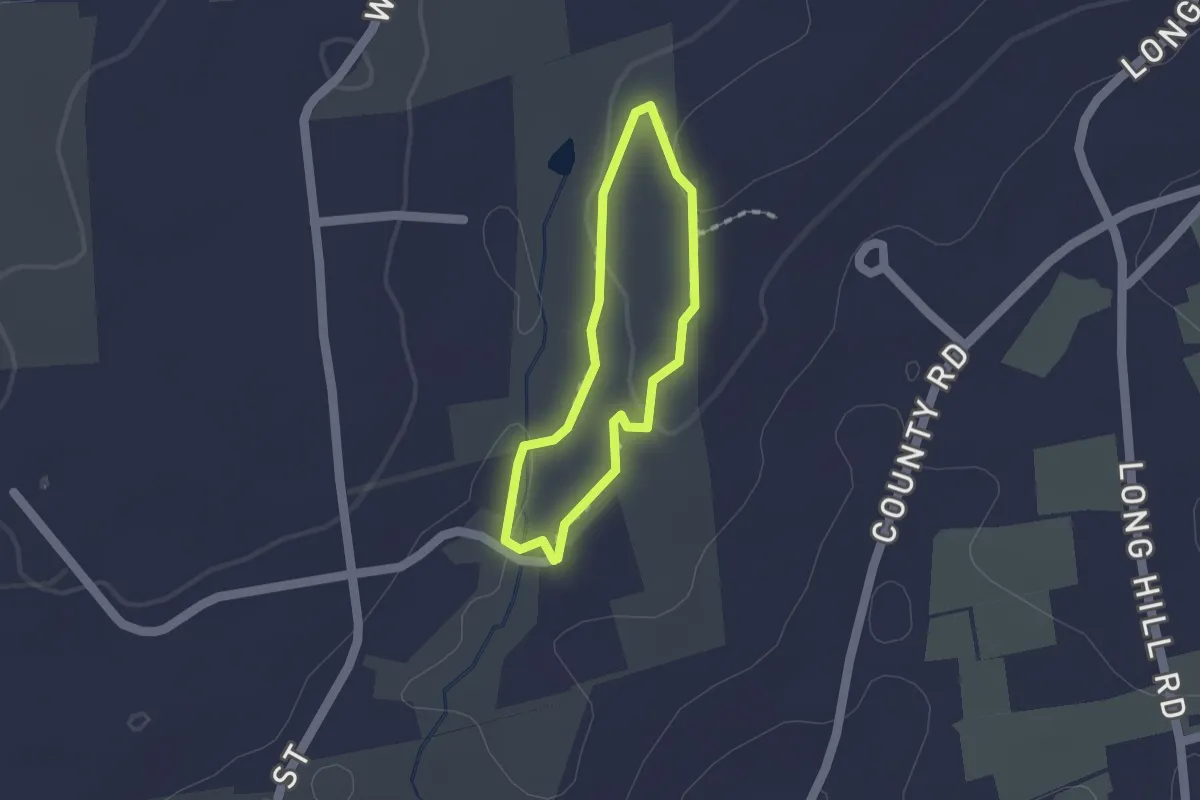
Easy · Trail
Munger Brook Trail
1.2 km · ↑ 20 m · 21 min
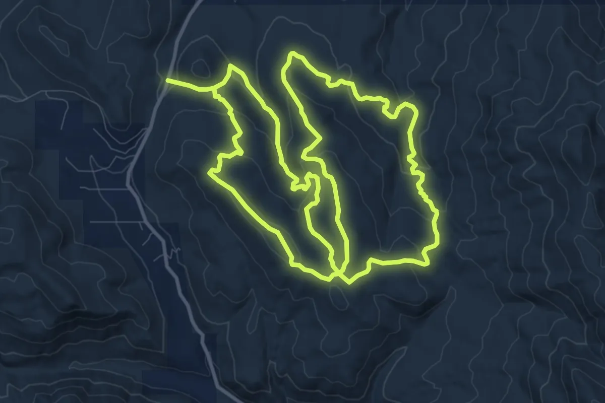
Demanding · Trail
Munger Mountain
23.9 km · ↑ 766 m · 7 h 19 min
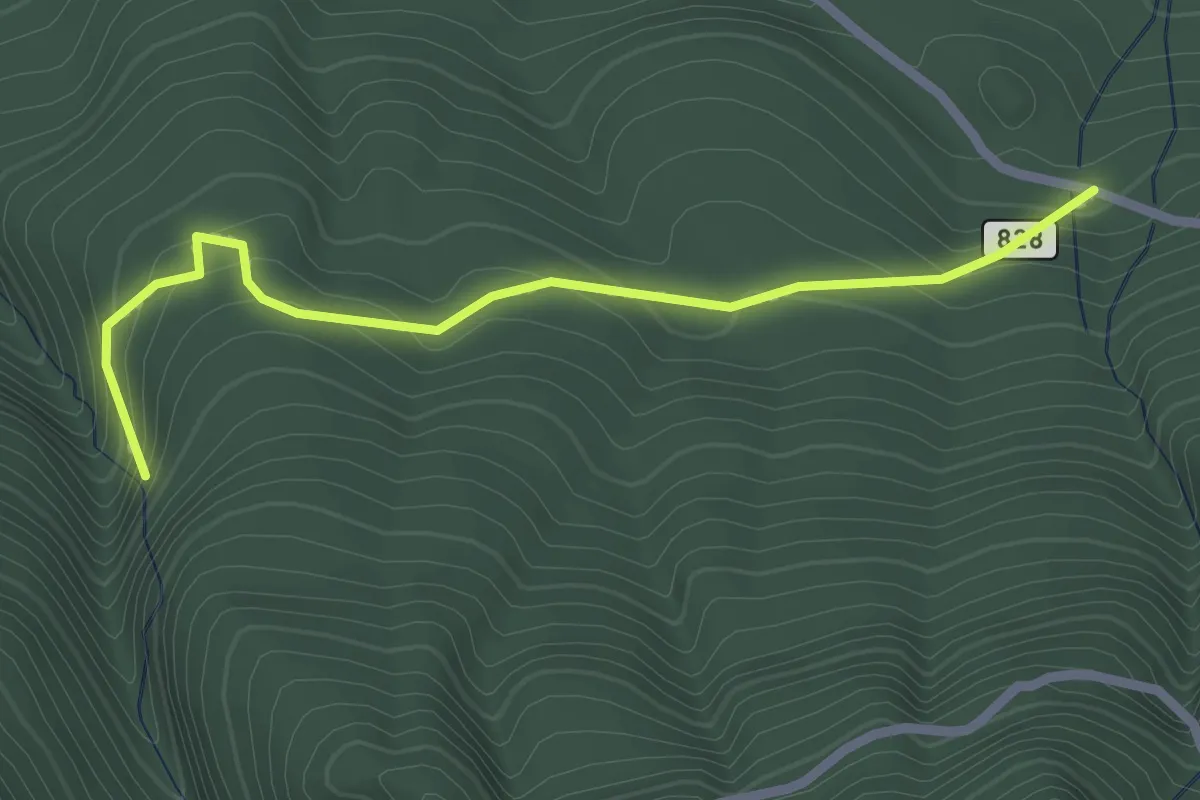
Easy · Trail
Murhut Falls Trail #828
2.3 km · ↑ 168 m · 55 min
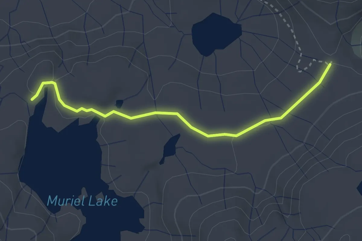
Easy · Trail
Muriel Lake Trail
3.2 km · ↑ 33 m · 50 min
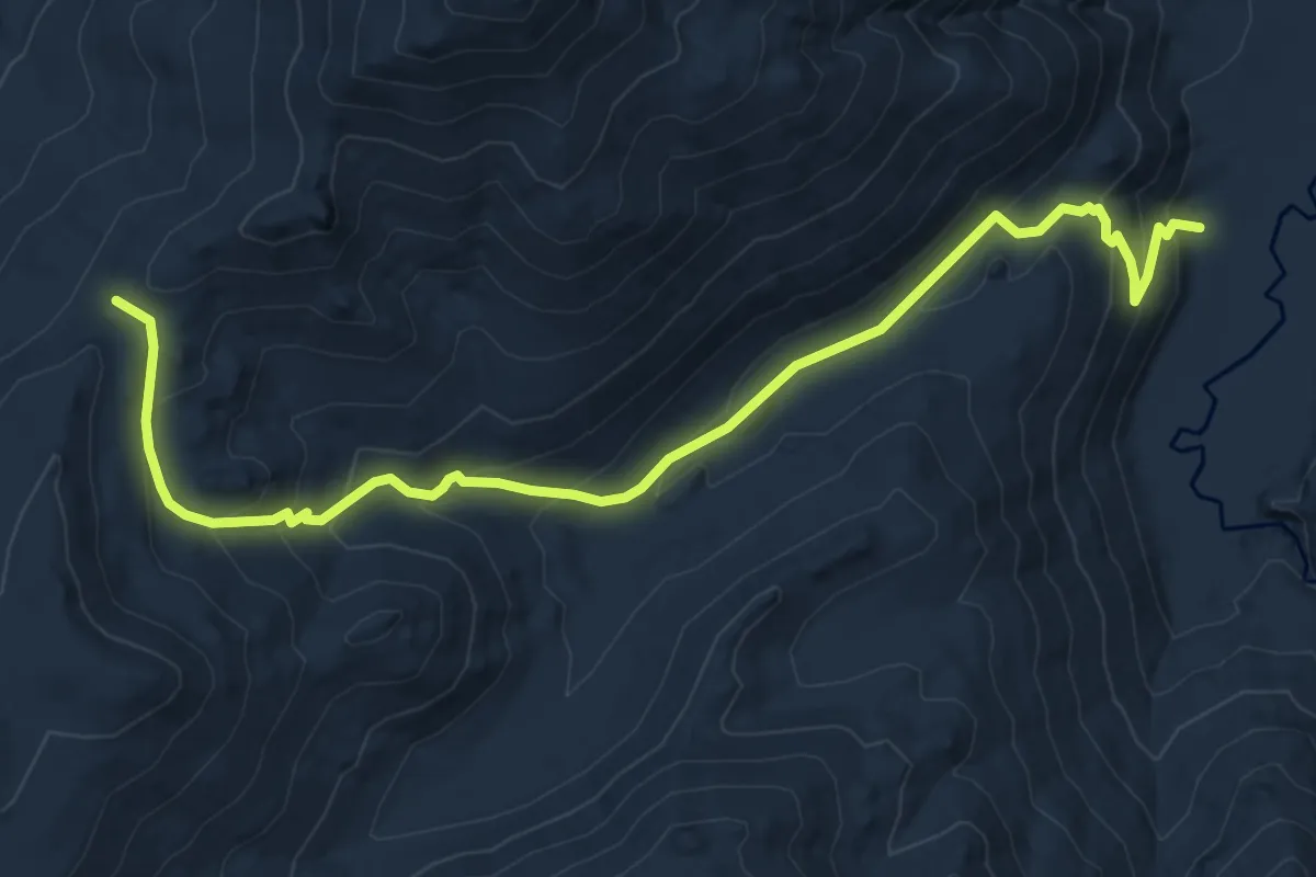
Medium · Trail
Murray Canyon Trail
9.5 km · ↑ 592 m · 3 h 31 min
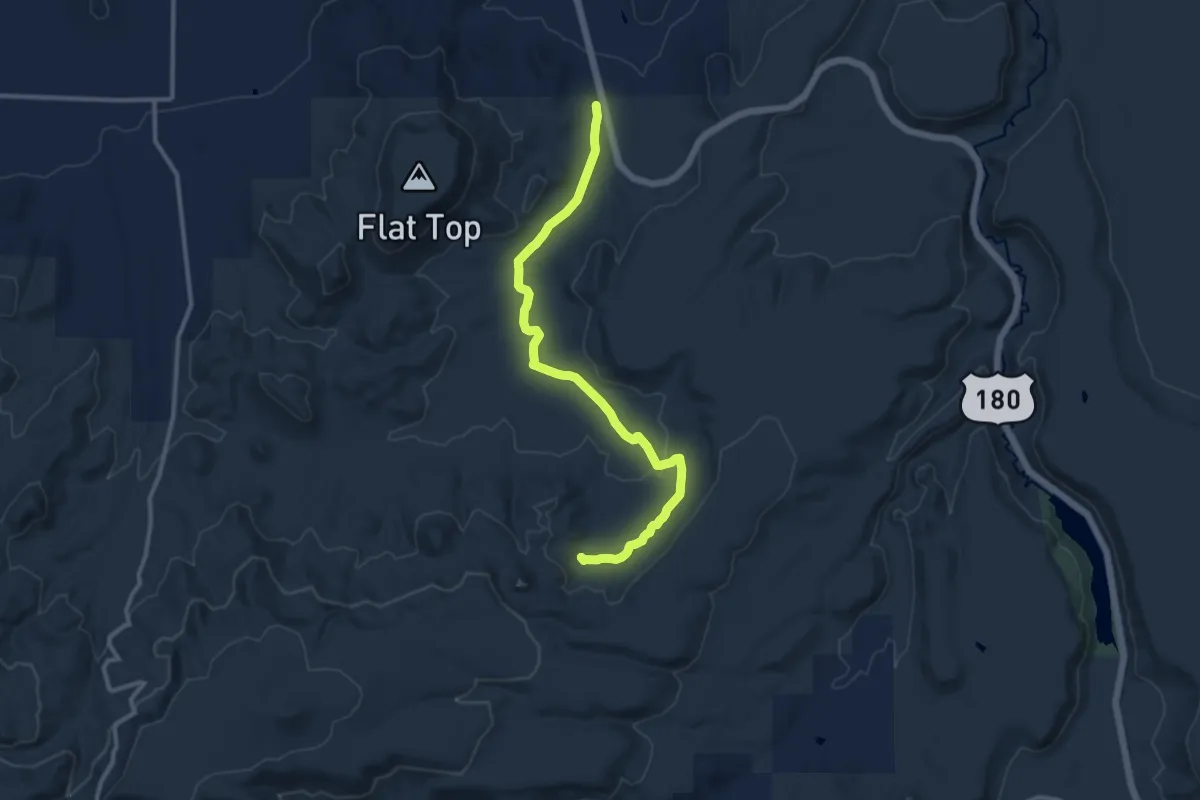
Medium · Trail
Murry Basin Trail
13.7 km · ↑ 130 m · 3 h 31 min
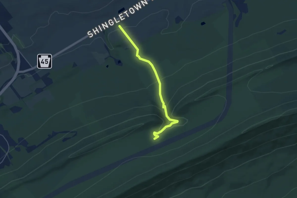
Medium · Trail
Musser Gap Trail
4.5 km · ↑ 173 m · 1 h 27 min
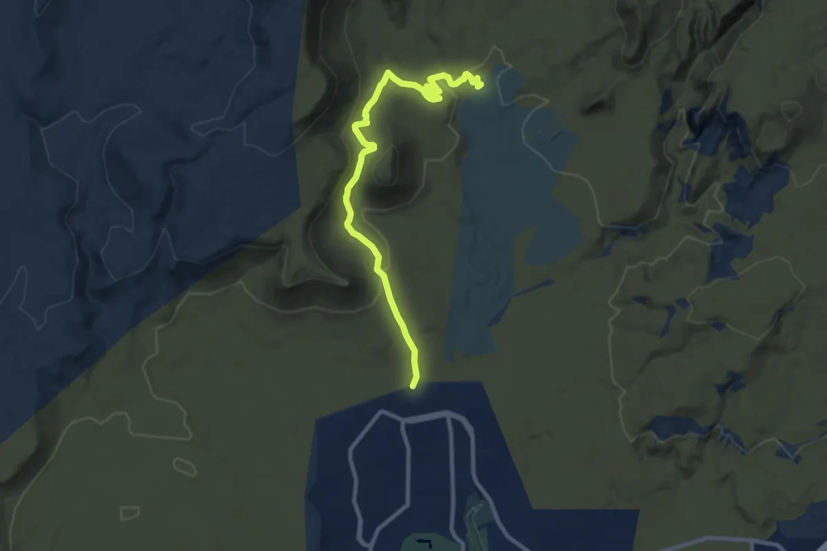
Medium · Trail
Mustang Pass
9.8 km · ↑ 218 m · 2 h 47 min
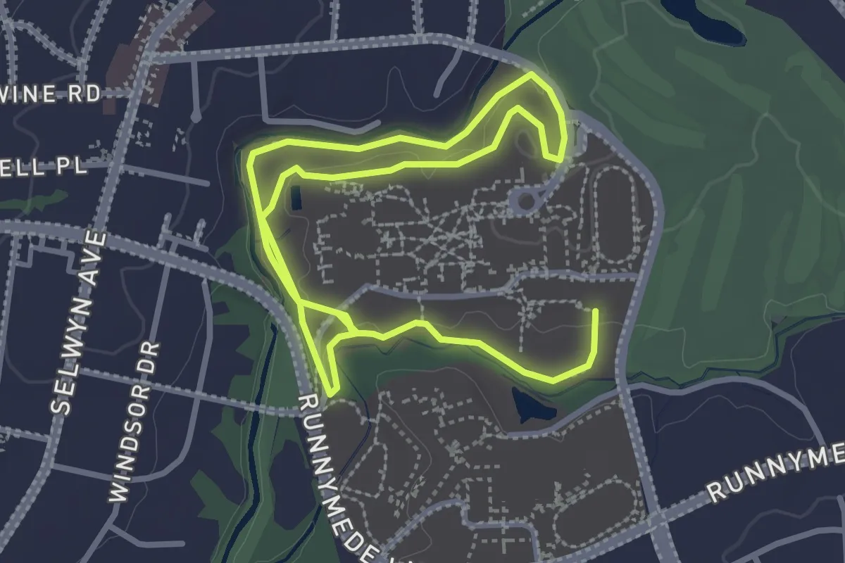
Easy · Trail
Myers Park High School Cross Country Course
6.0 km · ↑ 78 m · 1 h 35 min