Trails in United States
10,367 hiking trails, each with its route, climb, walking time and grade.
All trails, page 142 of 216
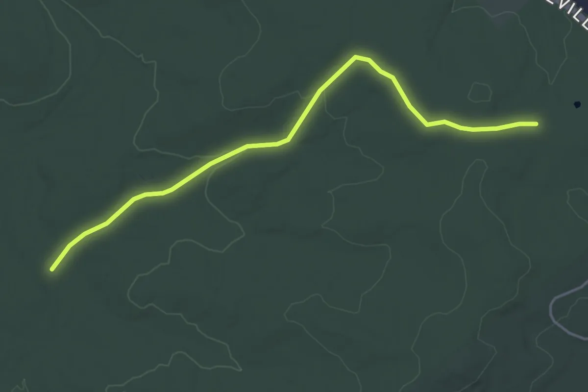
Easy · Trail
PA SGL 176 Trail B
4.9 km · ↑ 63 m · 1 h 18 min
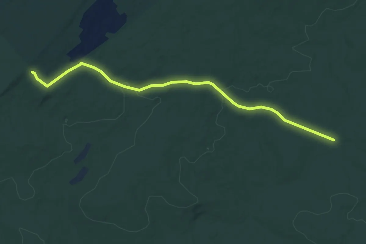
Easy · Trail
PA SGL 176 Trail C
6.2 km · ↑ 77 m · 1 h 38 min
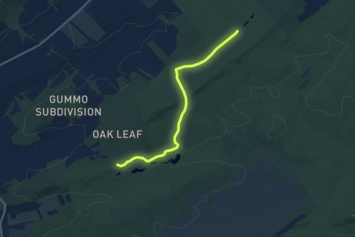
Easy · Trail
PA SGL 176 Trail D
7.4 km · ↑ 123 m · 2 h 1 min
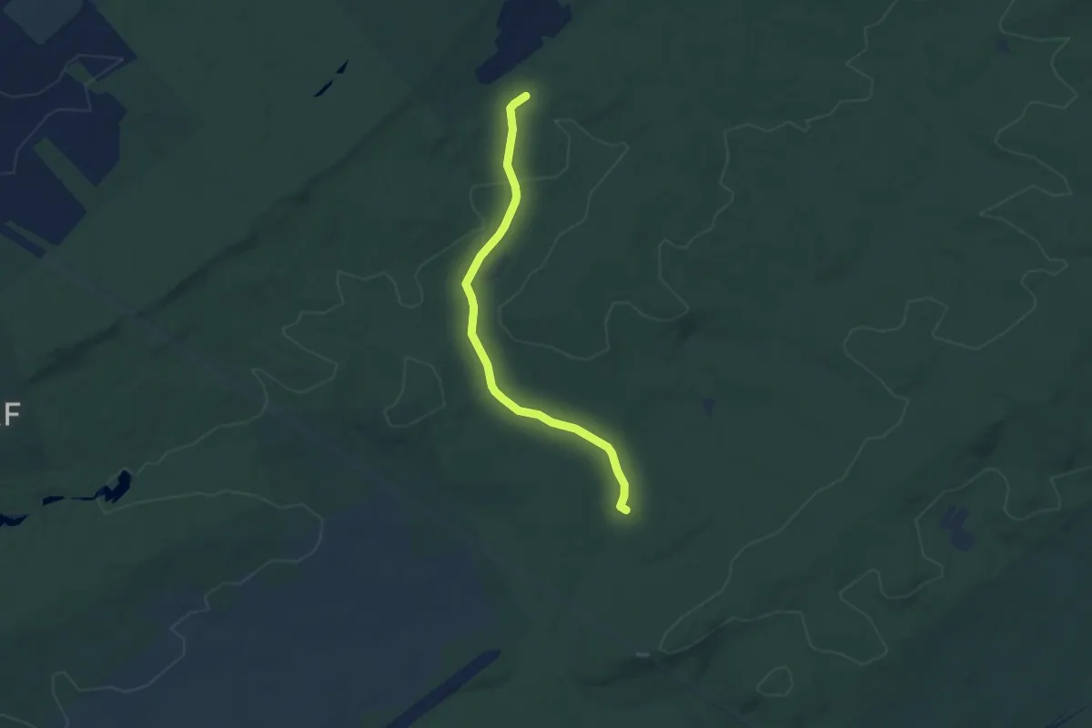
Easy · Trail
PA SGL 176 Trail E
5.9 km · ↑ 54 m · 1 h 30 min
Easy · Trail
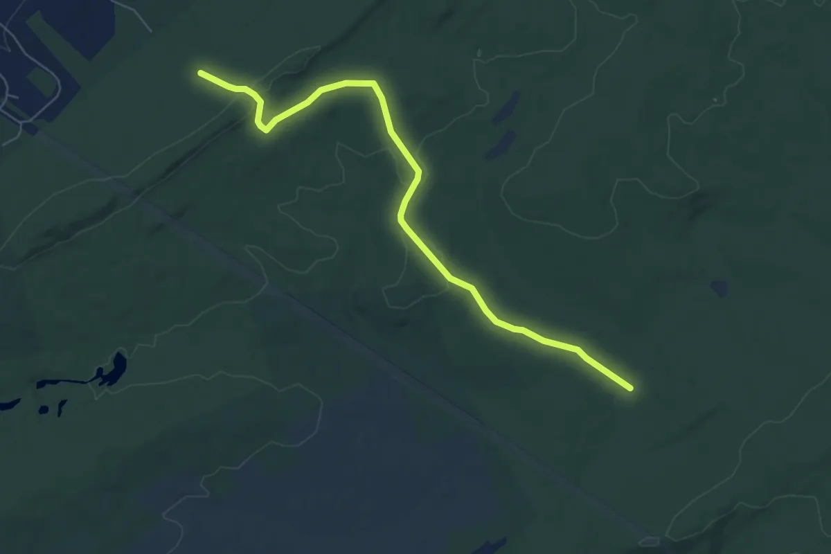
PA SGL 176 Trail F
7.3 km · ↑ 135 m · 2 h
Easy · Summit
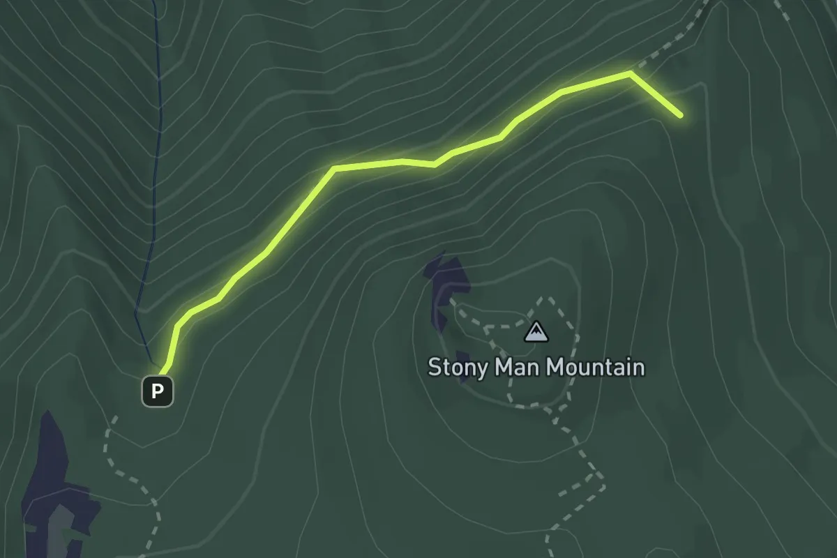
Passamaquoddy Trail
2.5 km · ↑ 138 m · 53 min
Medium · Trail
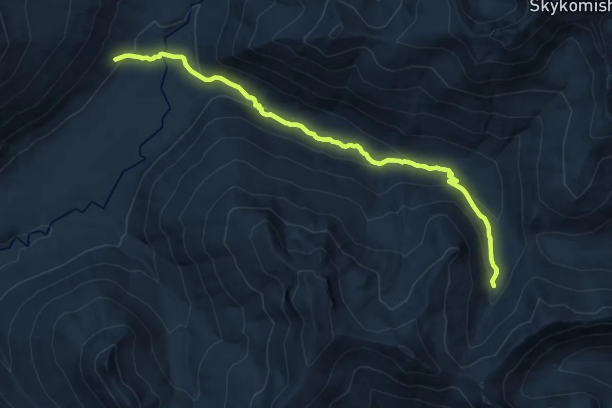
Pass Creek Trail
11.3 km · ↑ 461 m · 3 h 40 min
Demanding · Trail
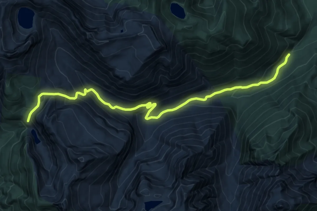
Pass Lake Trail
15.7 km · ↑ 919 m · 5 h 42 min
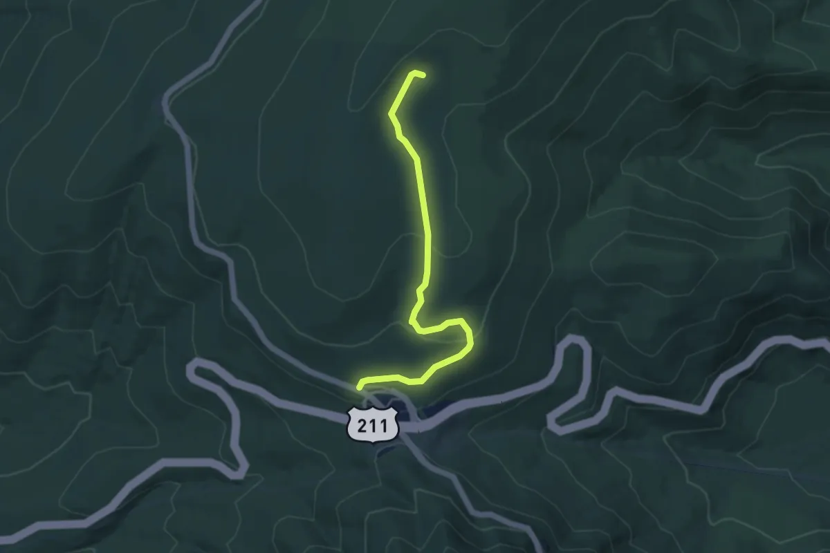
Easy · Trail
Pass Mountain Hut Road
4.9 km · ↑ 138 m · 1 h 28 min
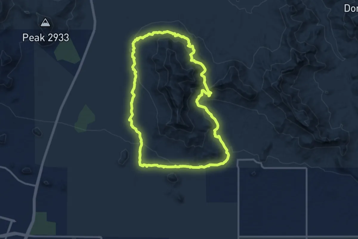
Medium · Trail
Pass Mountain Trail
11.4 km · ↑ 352 m · 3 h 37 min
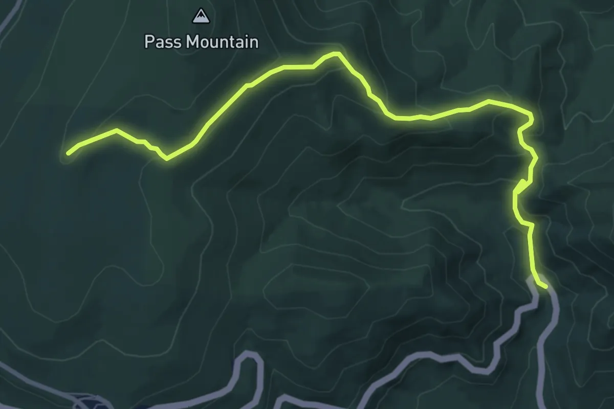
Medium · Trail
Pass Mountain Trail
9.4 km · ↑ 421 m · 3 h 8 min
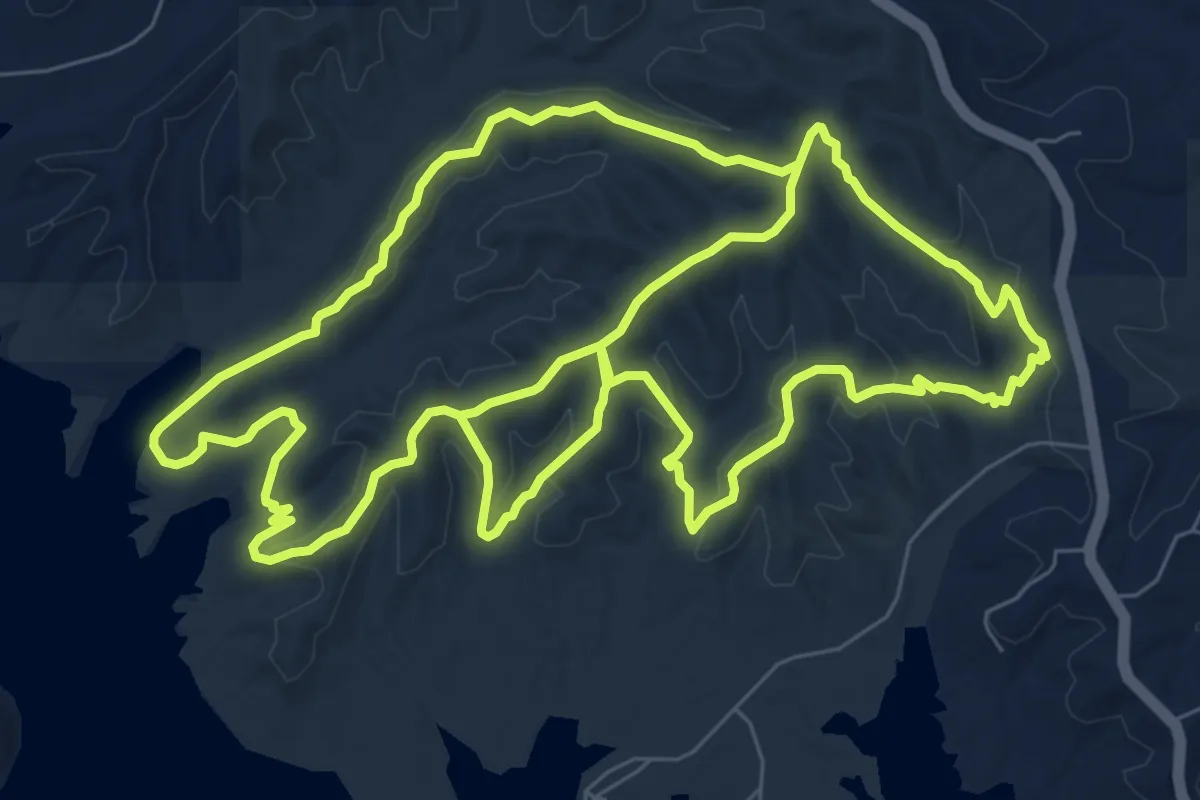
Demanding · Trail
Pate Hollow Trail
21.1 km · ↑ 590 m · 6 h 16 min
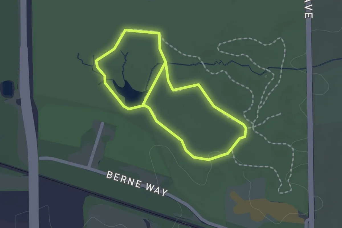
Easy · Trail
Path of Reflection
1.6 km · ↑ 8 m · 25 min
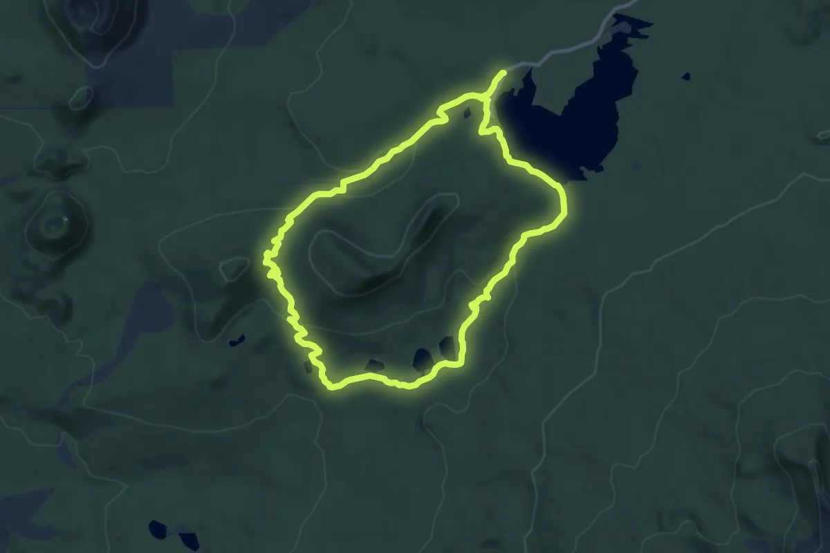
Demanding · Trail
Patjens Lake Trail
20.6 km · ↑ 388 m · 5 h 42 min
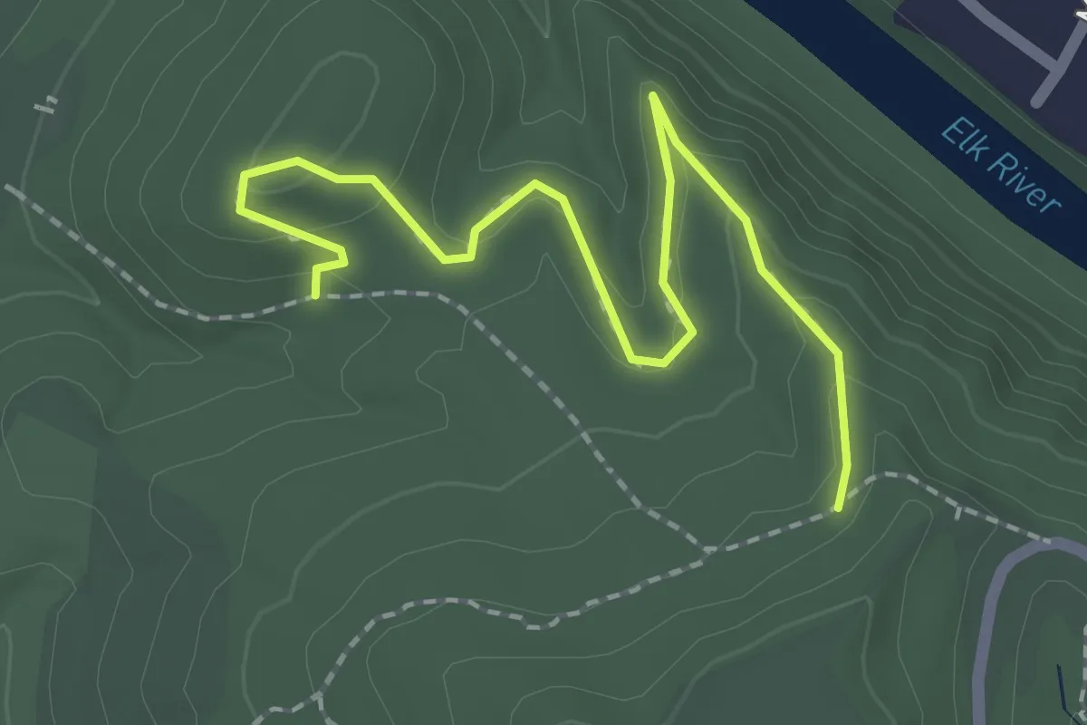
Easy · Trail
Patriot Trail
2.5 km · ↑ 111 m · 50 min
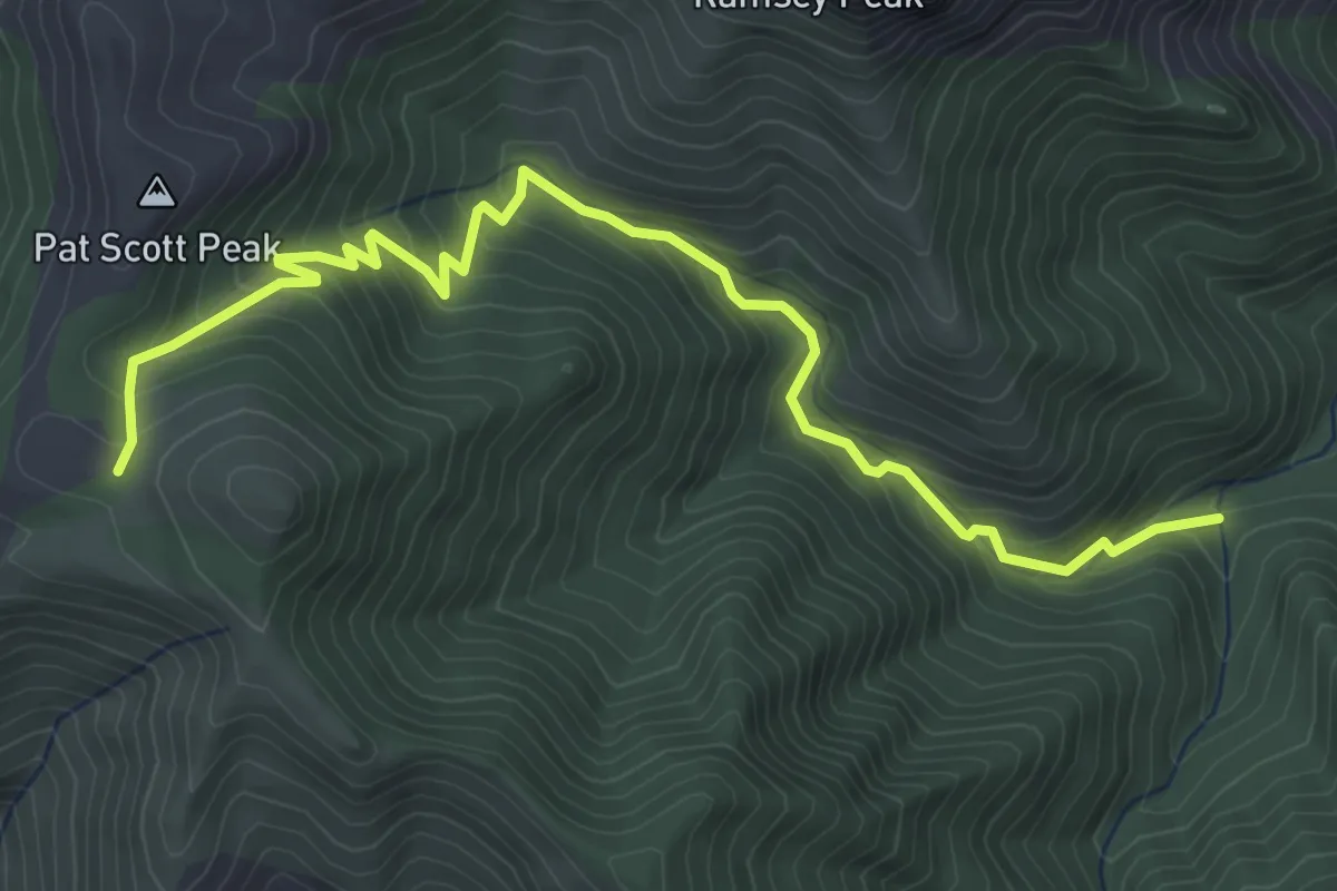
Medium · Trail
Pat Scott Trail #123
6.1 km · ↑ 502 m · 2 h 31 min
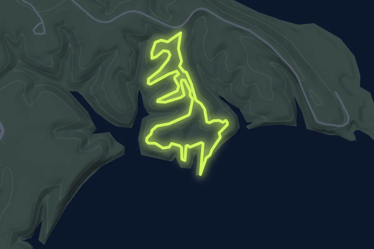
Easy · Trail
Pat's Loop
4.2 km · ↑ 116 m · 1 h 17 min
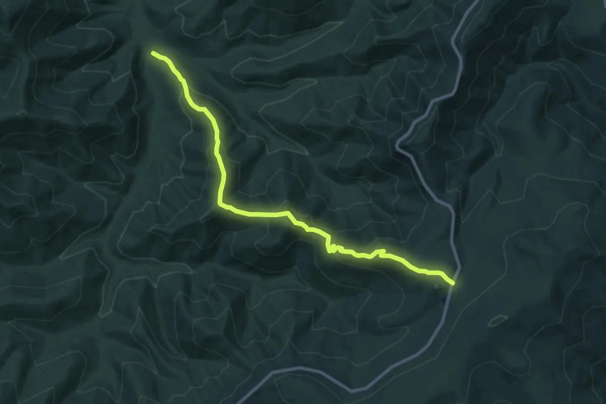
Medium · Trail
Patterson Ridge Trail
9.8 km · ↑ 586 m · 3 h 36 min
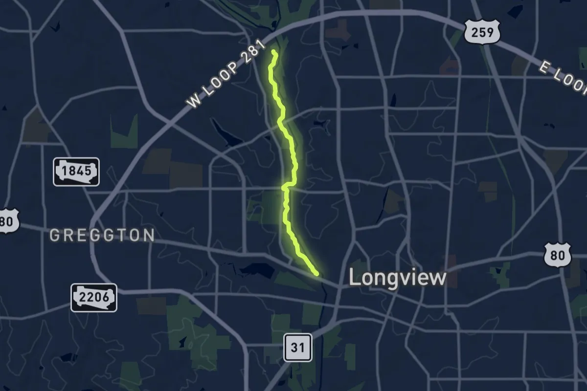
Medium · Trail
Paul G Boorman Trail
9.1 km · ↑ 12 m · 2 h 10 min
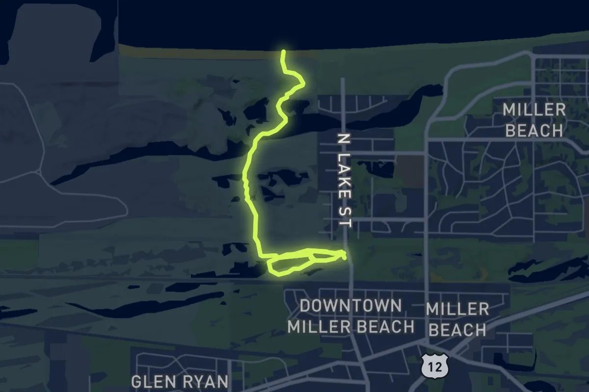
Easy · Trail
Paul H. Douglas Trail
8.0 km · ↑ 23 m · 1 h 56 min
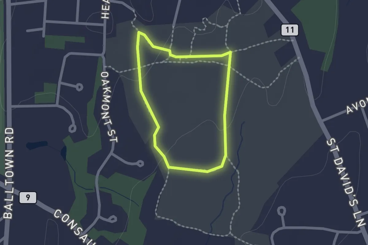
Easy · Trail
Paul Schaefer Yellow Trail
1.6 km · ↑ 13 m · 25 min
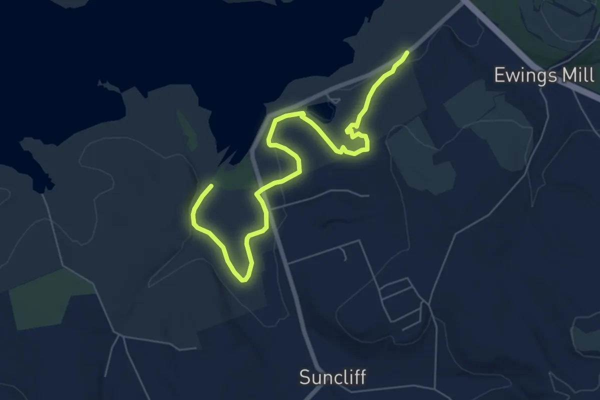
Easy · Trail
Paul Trail
7.9 km · ↑ 107 m · 2 h 6 min
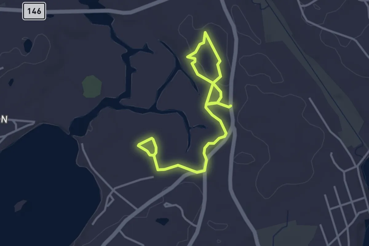
Easy · Trail
Paul Trail
4.8 km · ↑ 65 m · 1 h 16 min
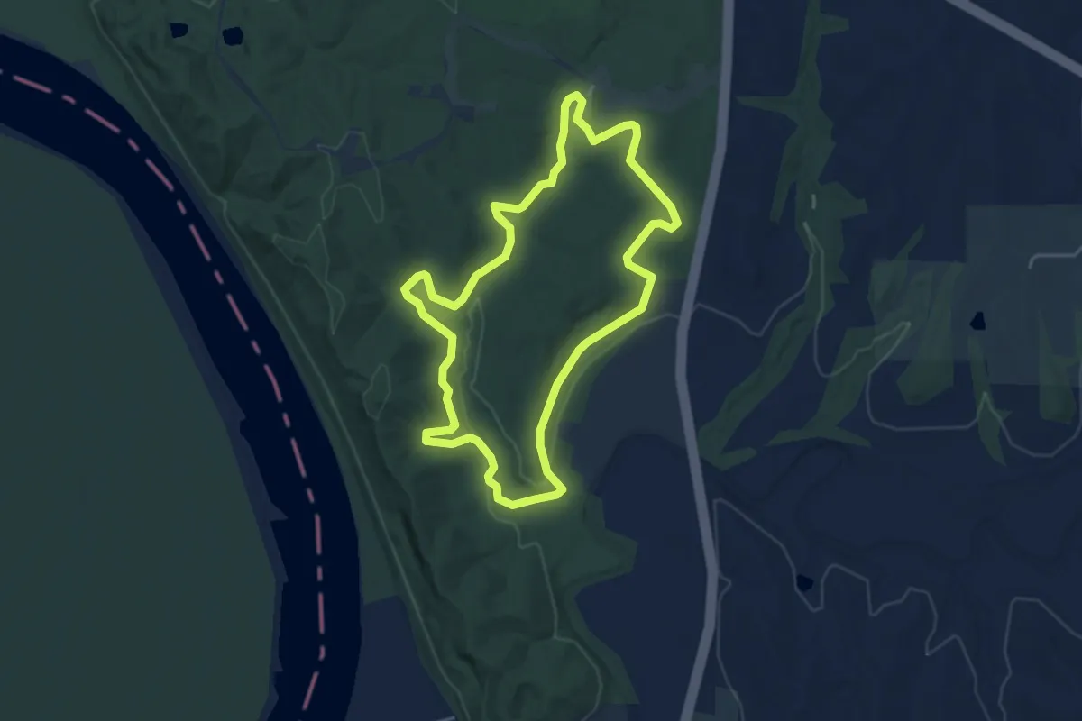
Easy · Trail
Paved Bicycle Trail
4.5 km · ↑ 69 m · 1 h 17 min
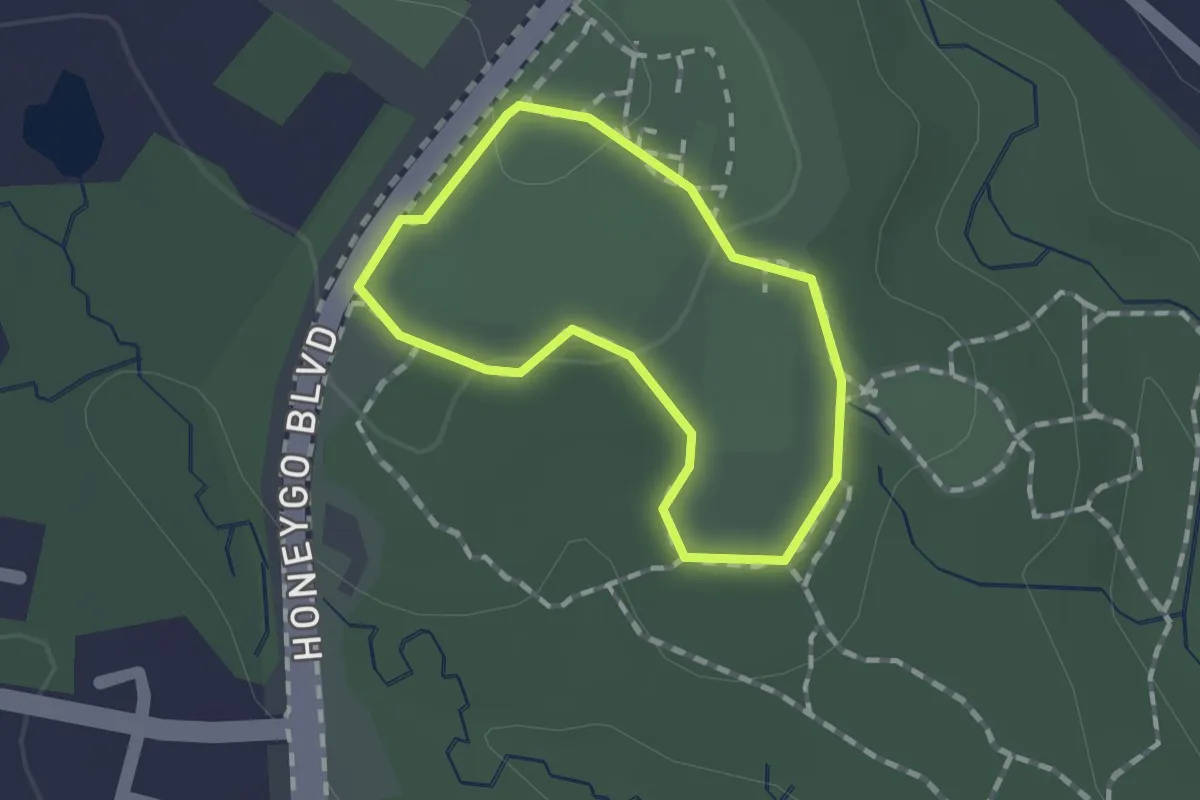
Easy · Trail
Paved Loop Path
1.1 km · ↑ 5 m · 17 min
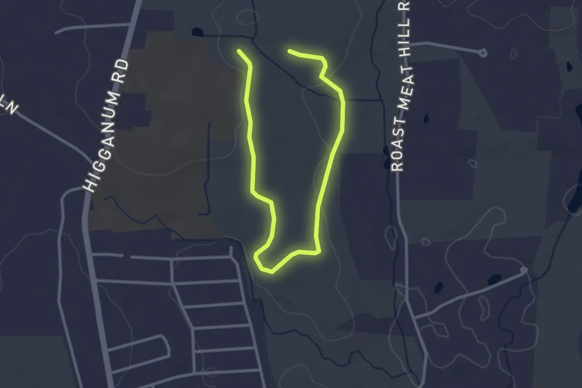
Easy · Trail
Pavelka Red Trail
2.1 km · ↑ 29 m · 35 min
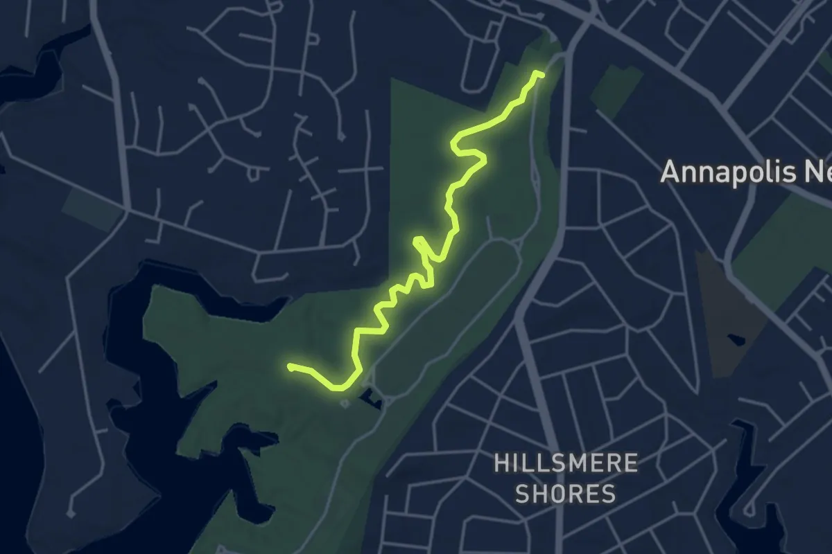
Easy · Trail
Pavillion Trail
4.6 km · ↑ 22 m · 1 h 9 min
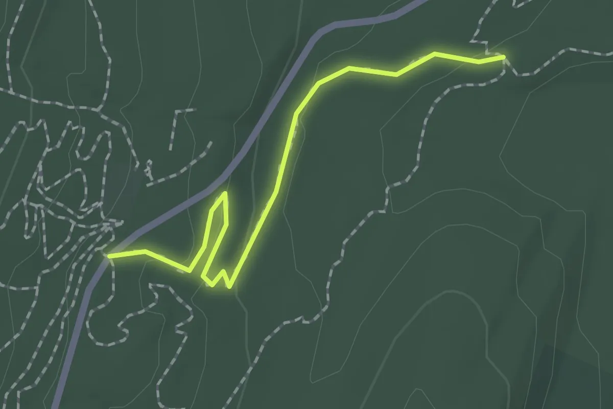
Easy · Trail
Paw Paw
2.0 km · ↑ 47 m · 35 min
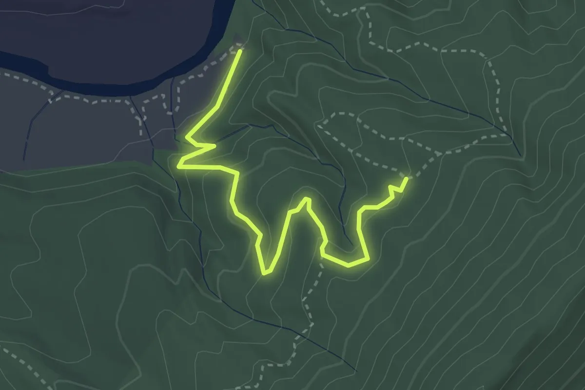
Easy · Trail
Pawpaw Hollow Trail
3.9 km · ↑ 168 m · 1 h 17 min
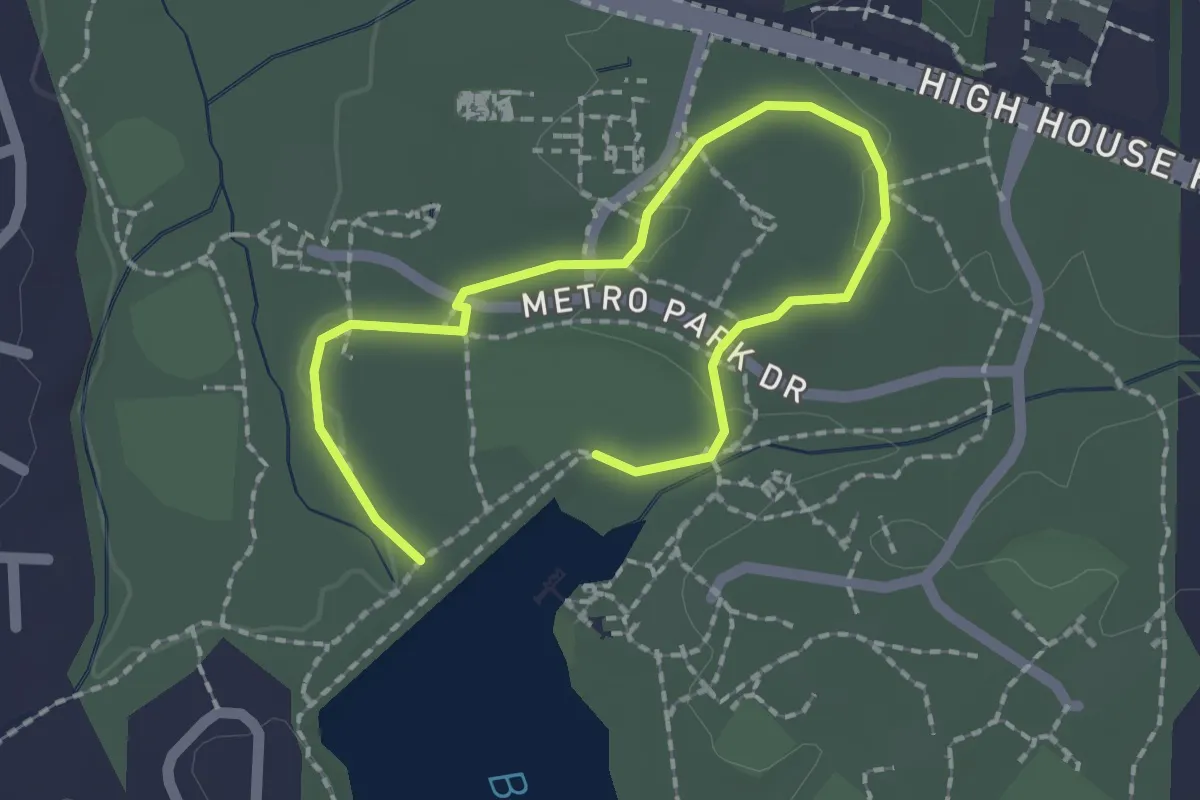
Easy · Trail
Paw Paw Trail
2.9 km · ↑ 33 m · 45 min
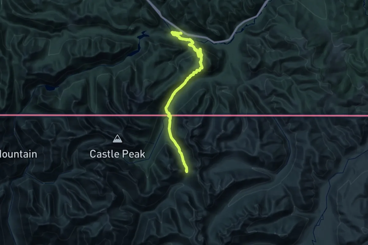
Demanding · Trail
PCT - Washington Section L
19.0 km · ↑ 522 m · 6 h 7 min
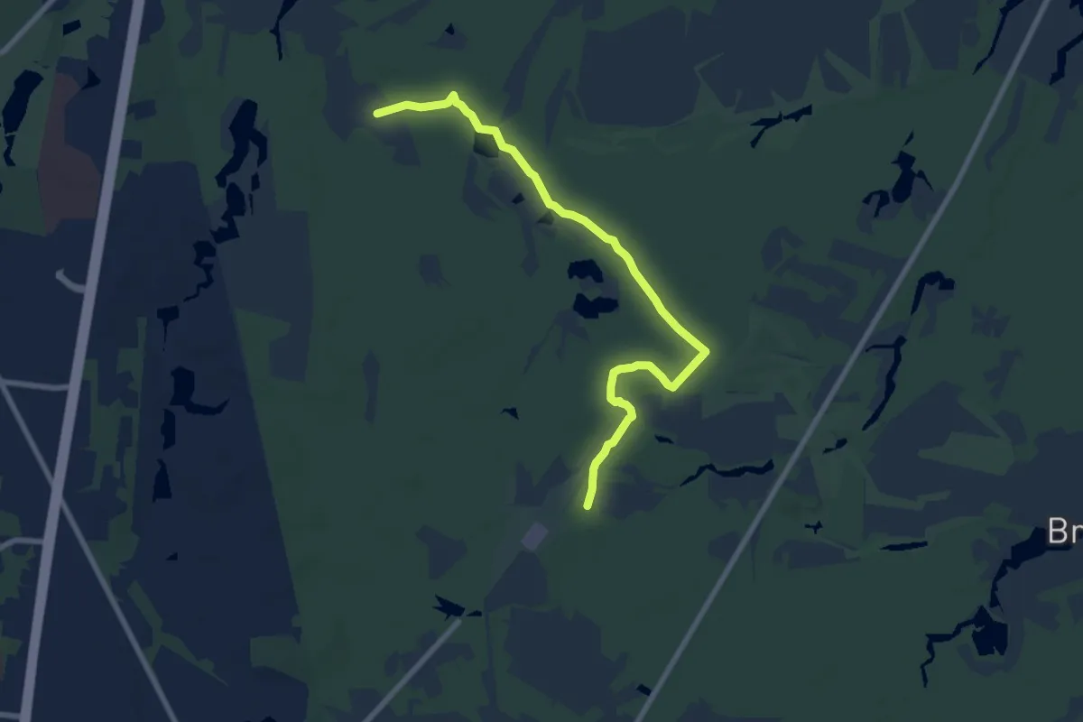
Medium · Trail
Peaceful Partners Trail
9.1 km · ↑ 30 m · 2 h 13 min
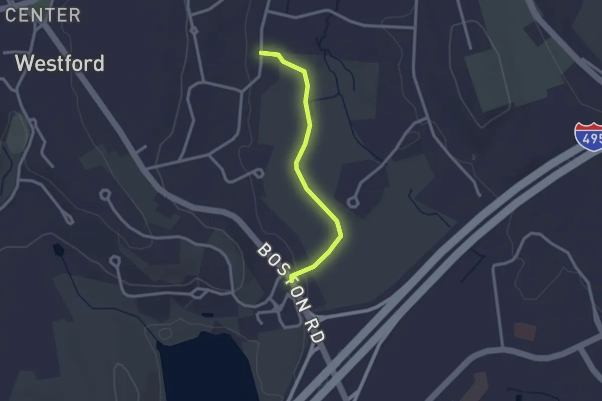
Easy · Trail
Peace Trail
2.2 km · ↑ 4 m · 31 min
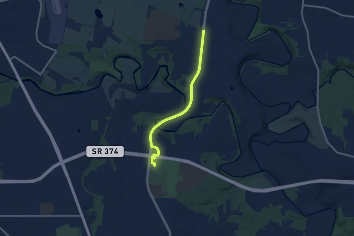
Easy · Trail
Peachers Mill Road Trail
7.4 km · ↑ 125 m · 2 h 2 min
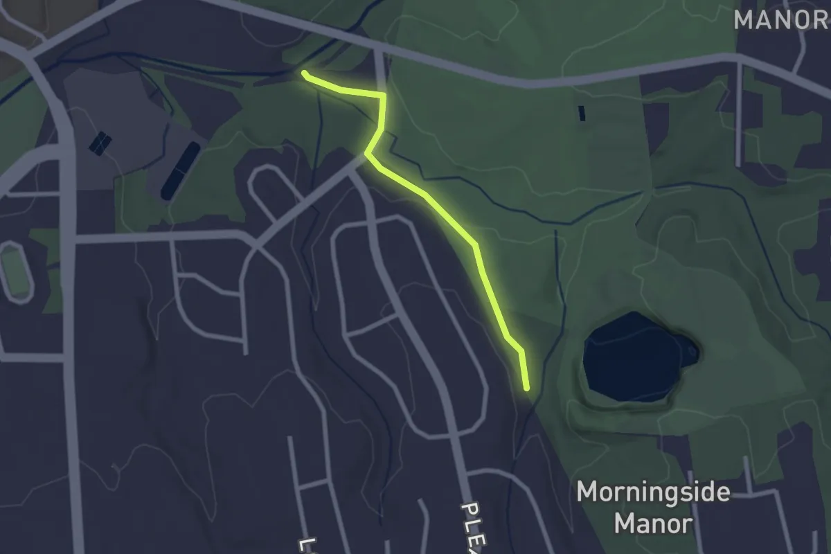
Easy · Trail
Peachtree Greenway
2.4 km · ↑ 28 m · 37 min
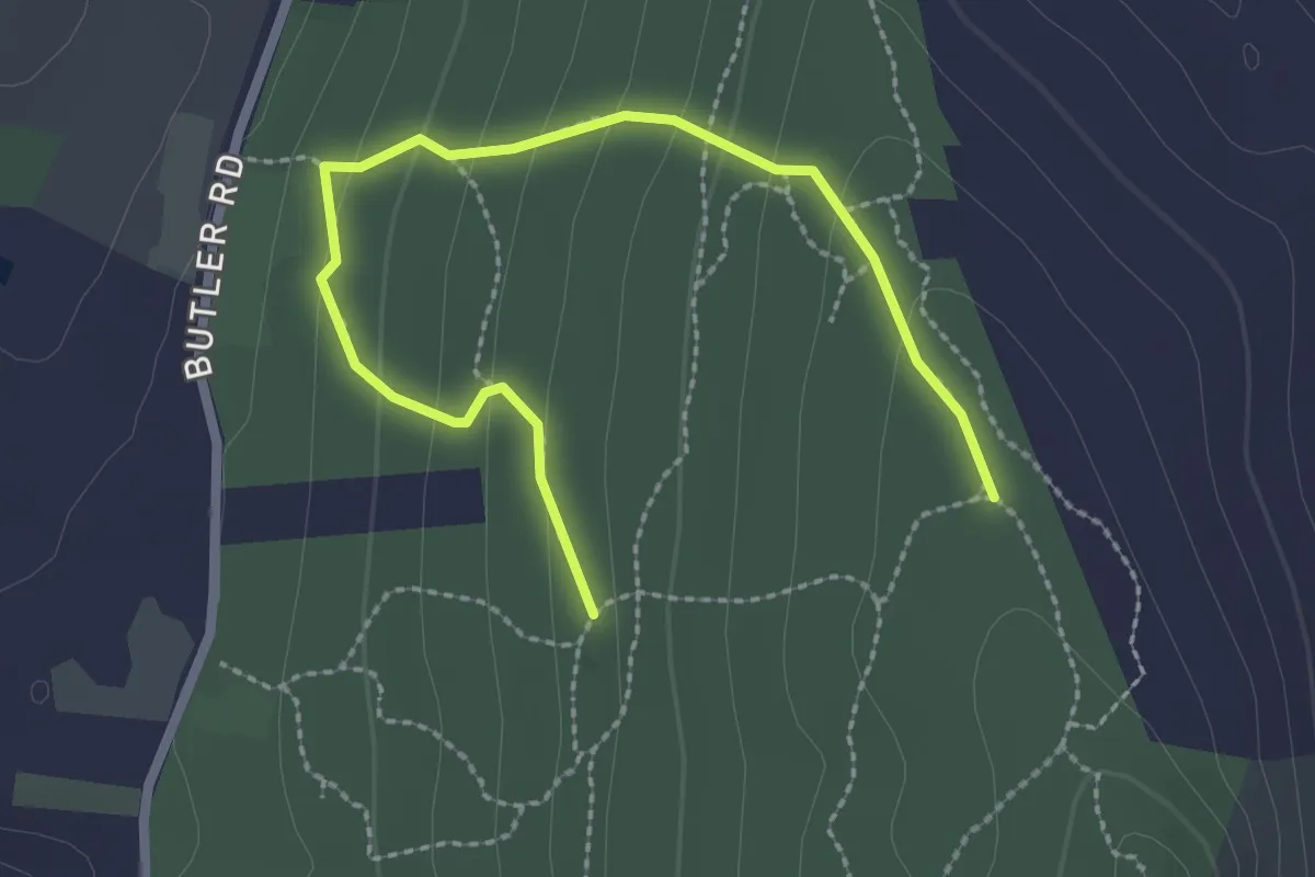
Easy · Trail
Peaked Mountain Orange Trails
3.1 km · ↑ 147 m · 1 h 3 min
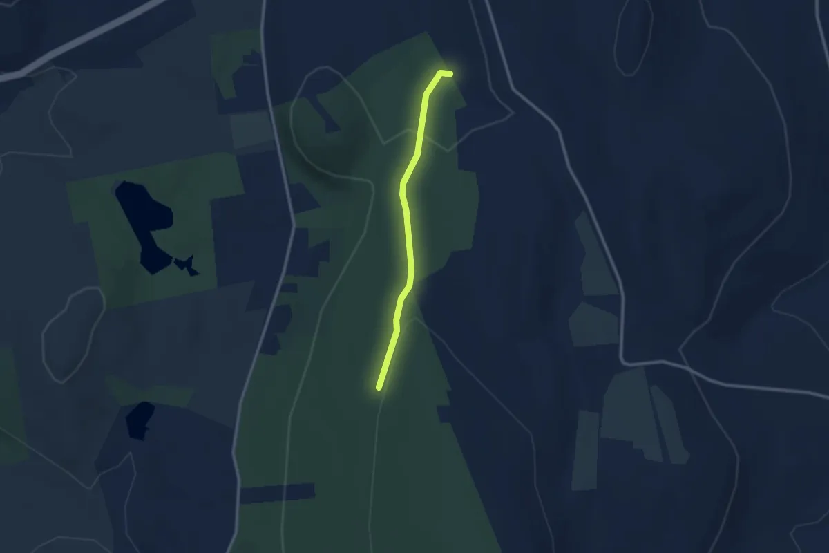
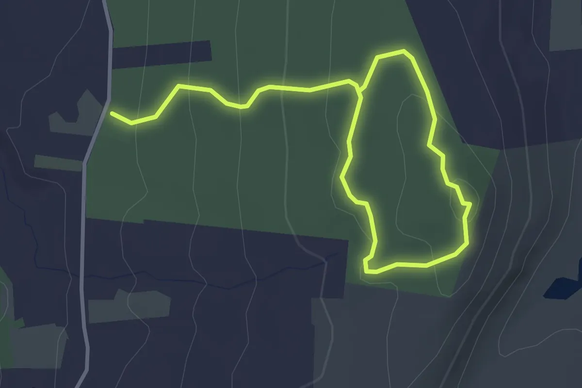
Easy · Trail
Peaked Mountain Pink Trails
2.4 km · ↑ 60 m · 42 min
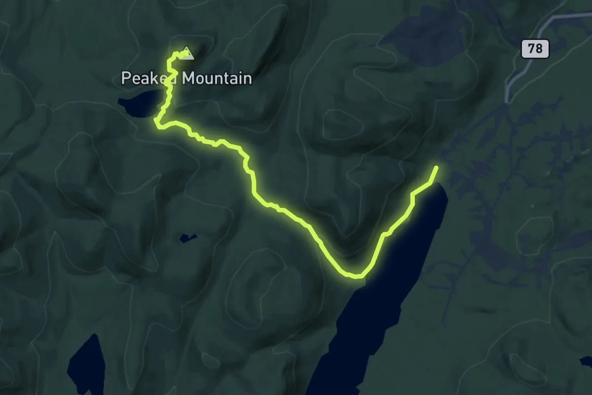
Easy · Trail
Peaked Mountain Red Trails
4.7 km · ↑ 187 m · 1 h 31 min
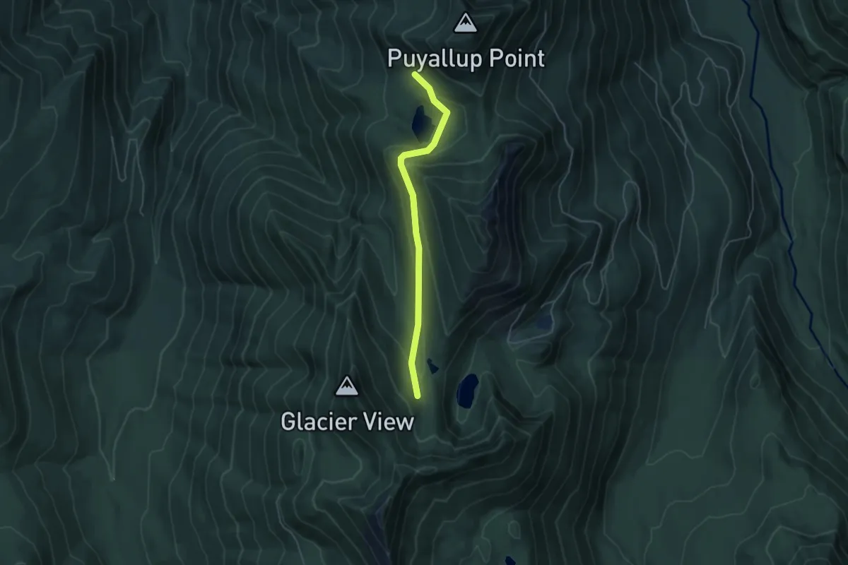
Medium · Summit
Peaked Mountain Trail
10.8 km · ↑ 398 m · 3 h 24 min
Easy · Trail
Peak Two Trail #268
4.3 km · ↑ 164 m · 1 h 22 min
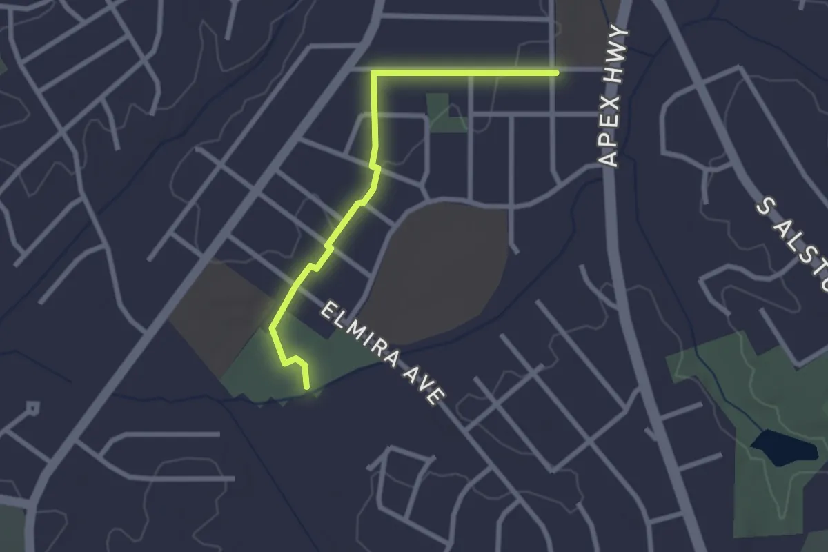
Easy · Trail
Pearsontown Trail
2.7 km · ↑ 23 m · 41 min
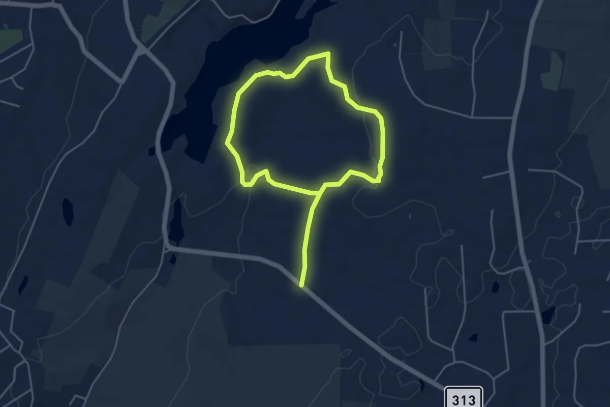
Easy · Trail
Peat Swamp Loop
7.1 km · ↑ 177 m · 2 h 4 min
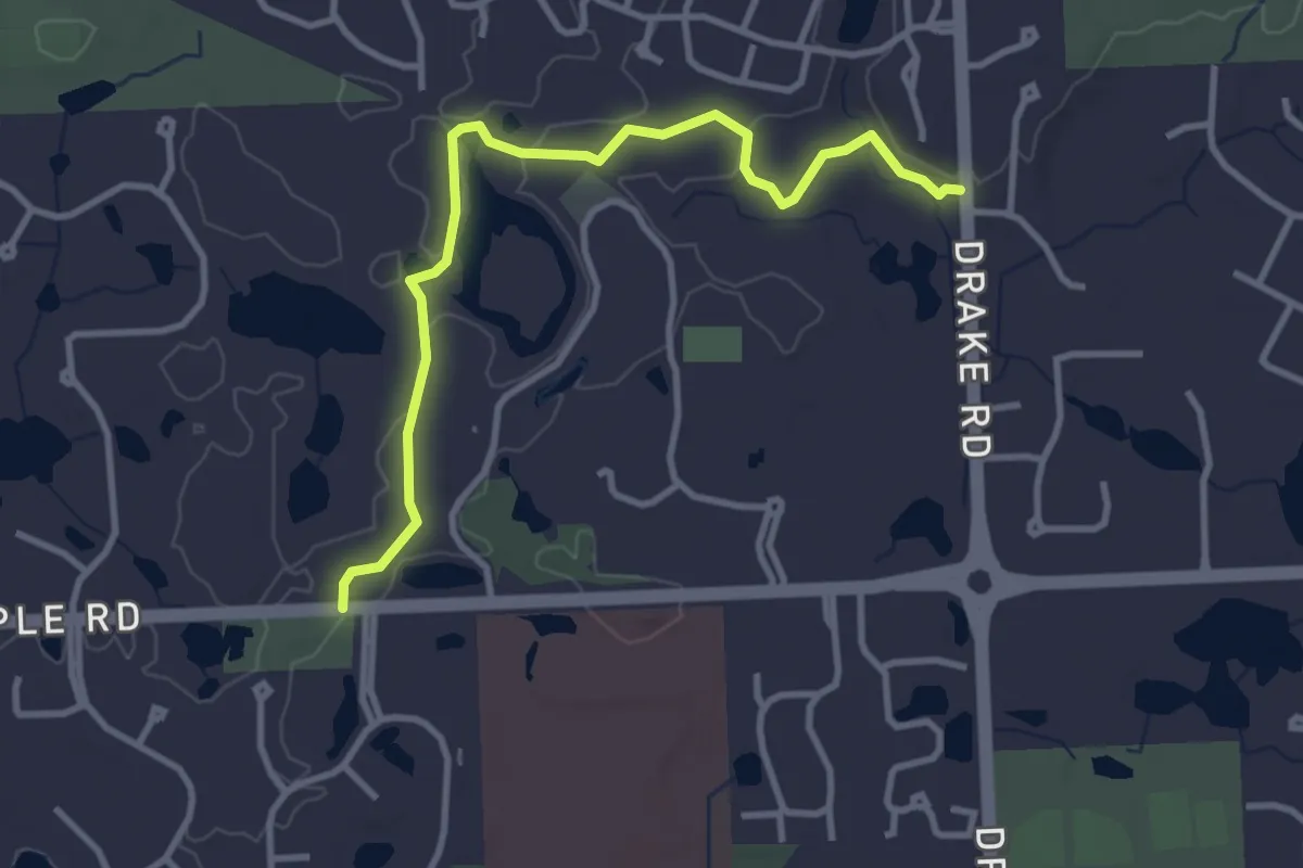
Easy · Trail
Pebble Creek Ravine Trail
3.8 km · ↑ 5 m · 55 min
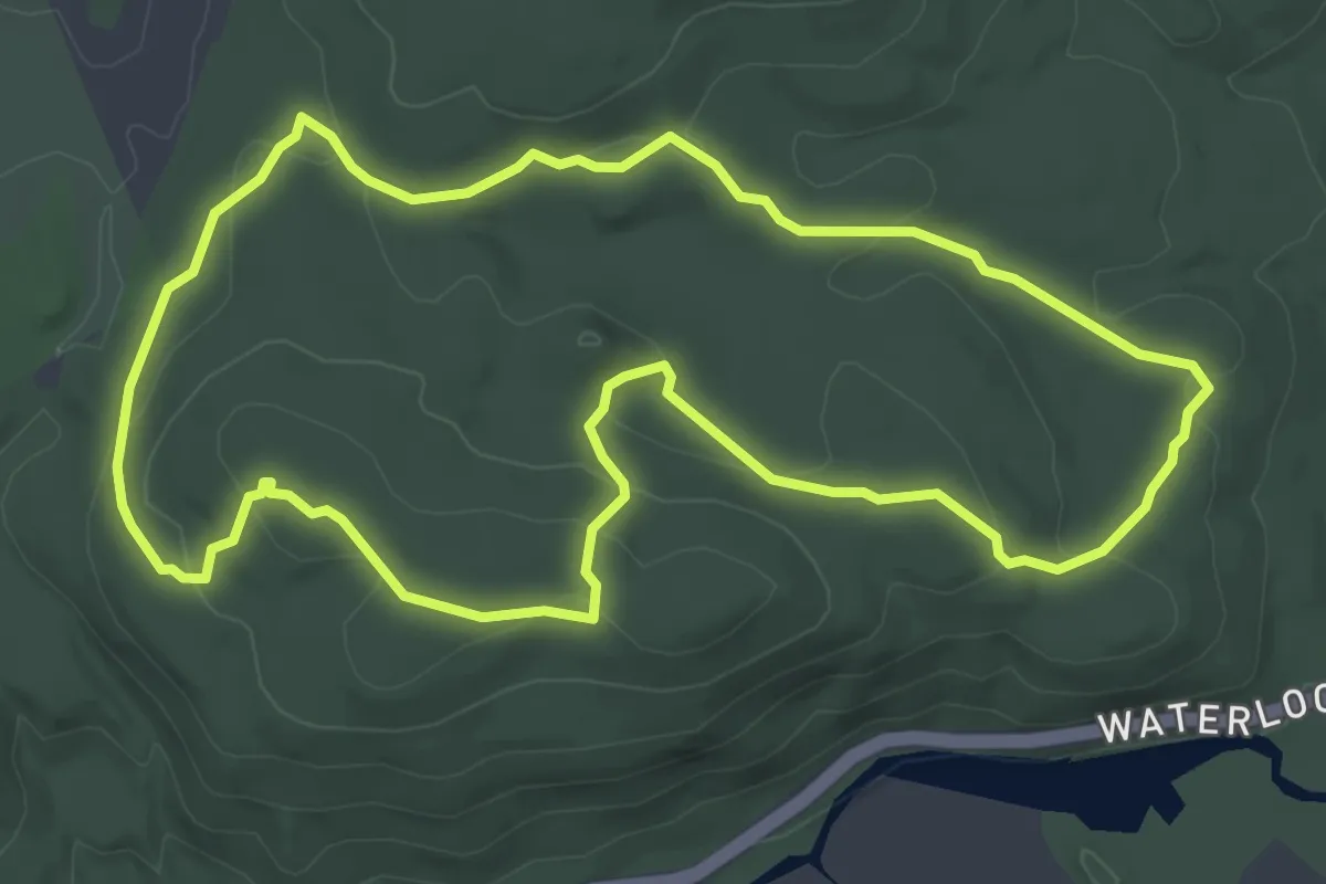
Easy · Trail
Pebble Trail
4.8 km · ↑ 129 m · 1 h 28 min
Easy · Trail
Pebble Trail
1.5 km · ↑ 105 m · 34 min
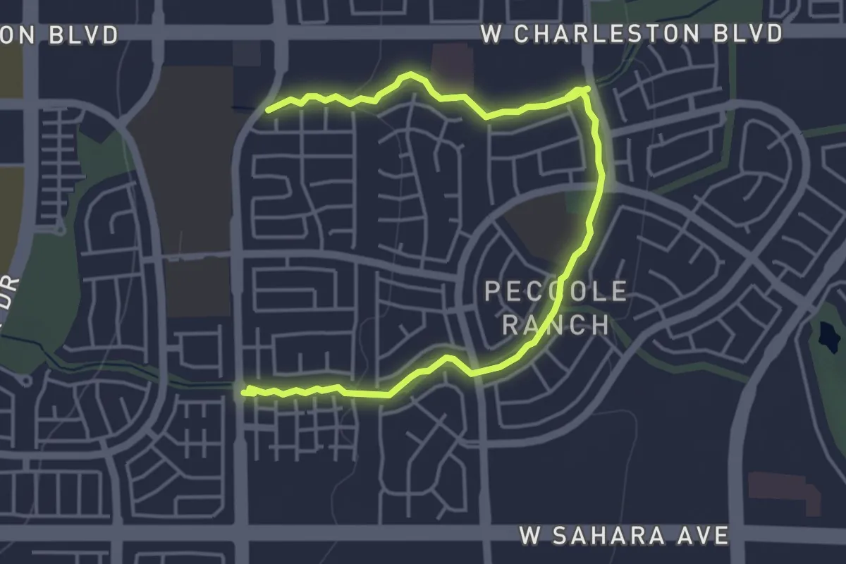
Easy · Trail
Peccole Ranch Trail
6.6 km · ↑ 48 m · 1 h 40 min
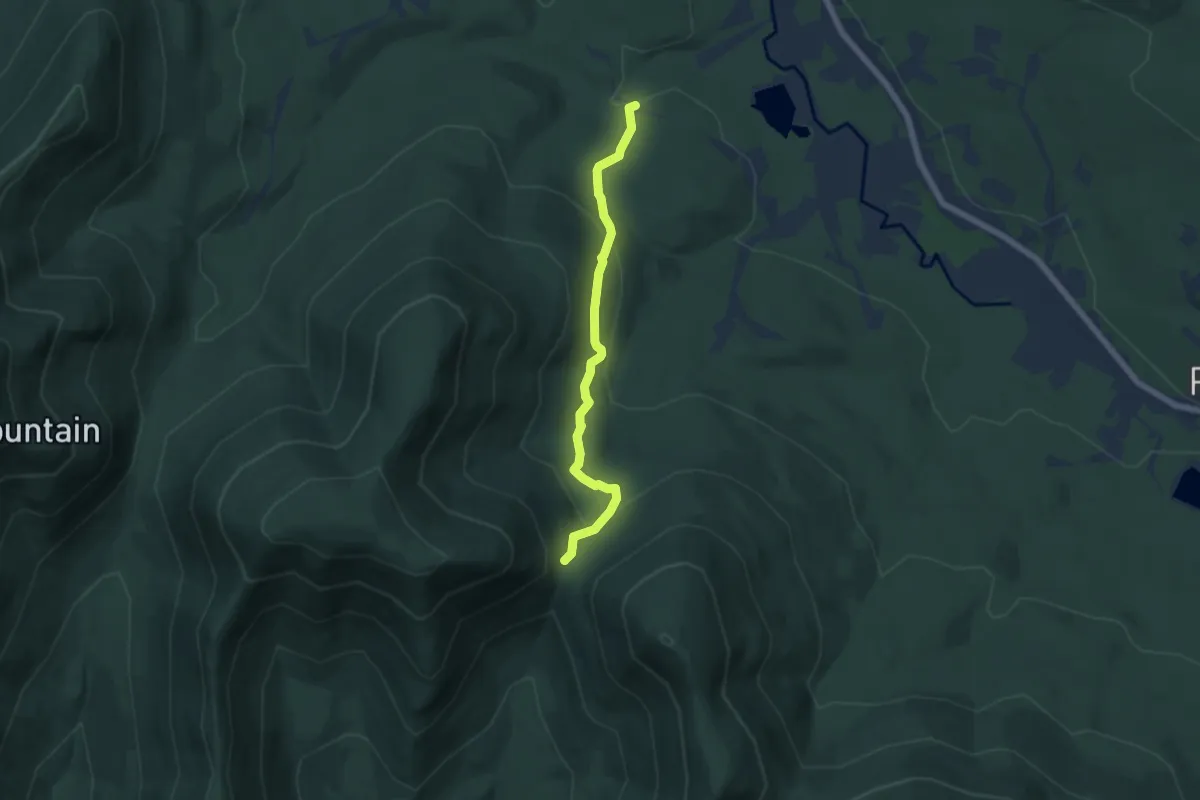
Easy · Trail
Pecoy Notch Trail
5.9 km · ↑ 307 m · 2 h 4 min
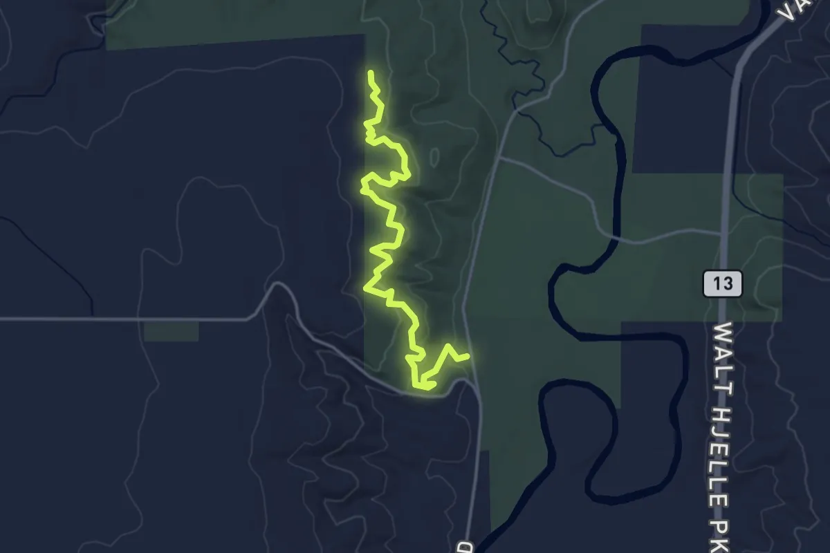
Easy · Trail
Pederson Hills Trail
4.1 km · ↑ 128 m · 1 h 15 min