Trails in United States
10,367 hiking trails, each with its route, climb, walking time and grade.
All trails, page 147 of 216
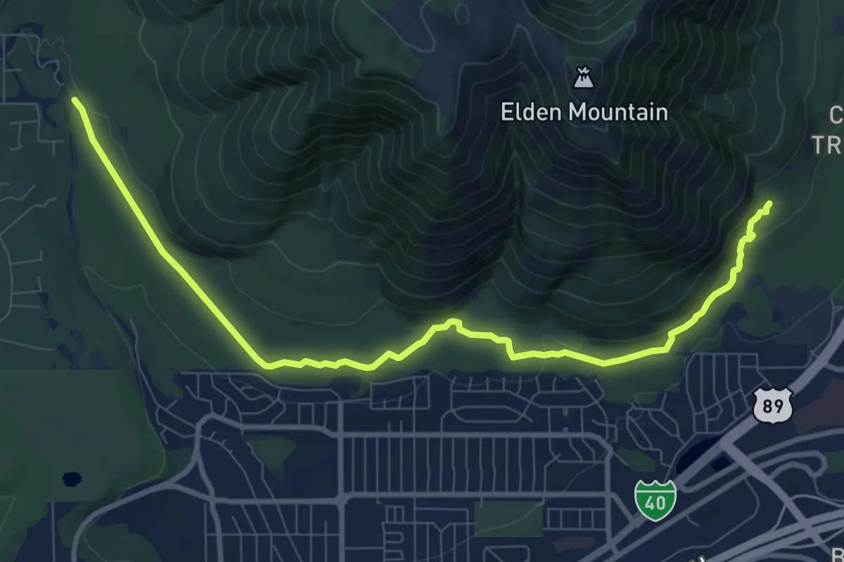
Medium · Trail
Pipeline Trail
11.9 km · ↑ 222 m · 3 h 17 min
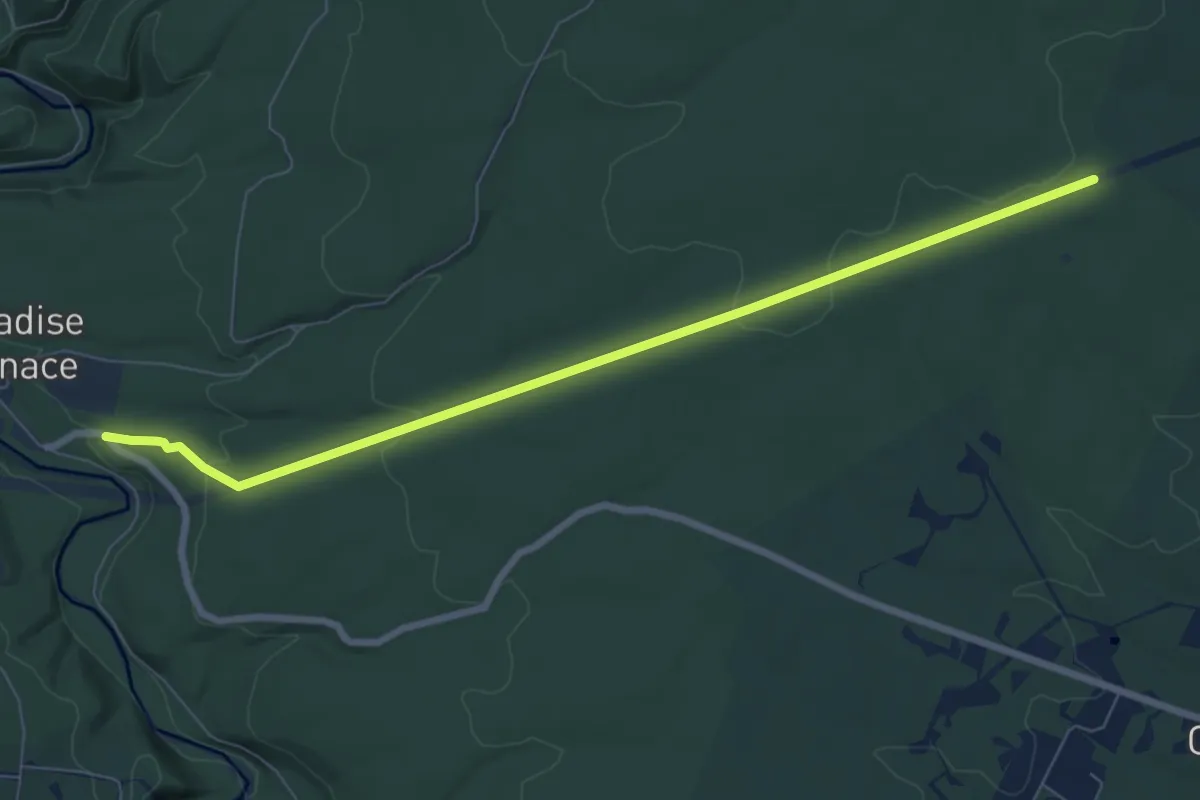
Medium · Trail
Pipeline Trail
8.5 km · ↑ 164 m · 2 h 22 min
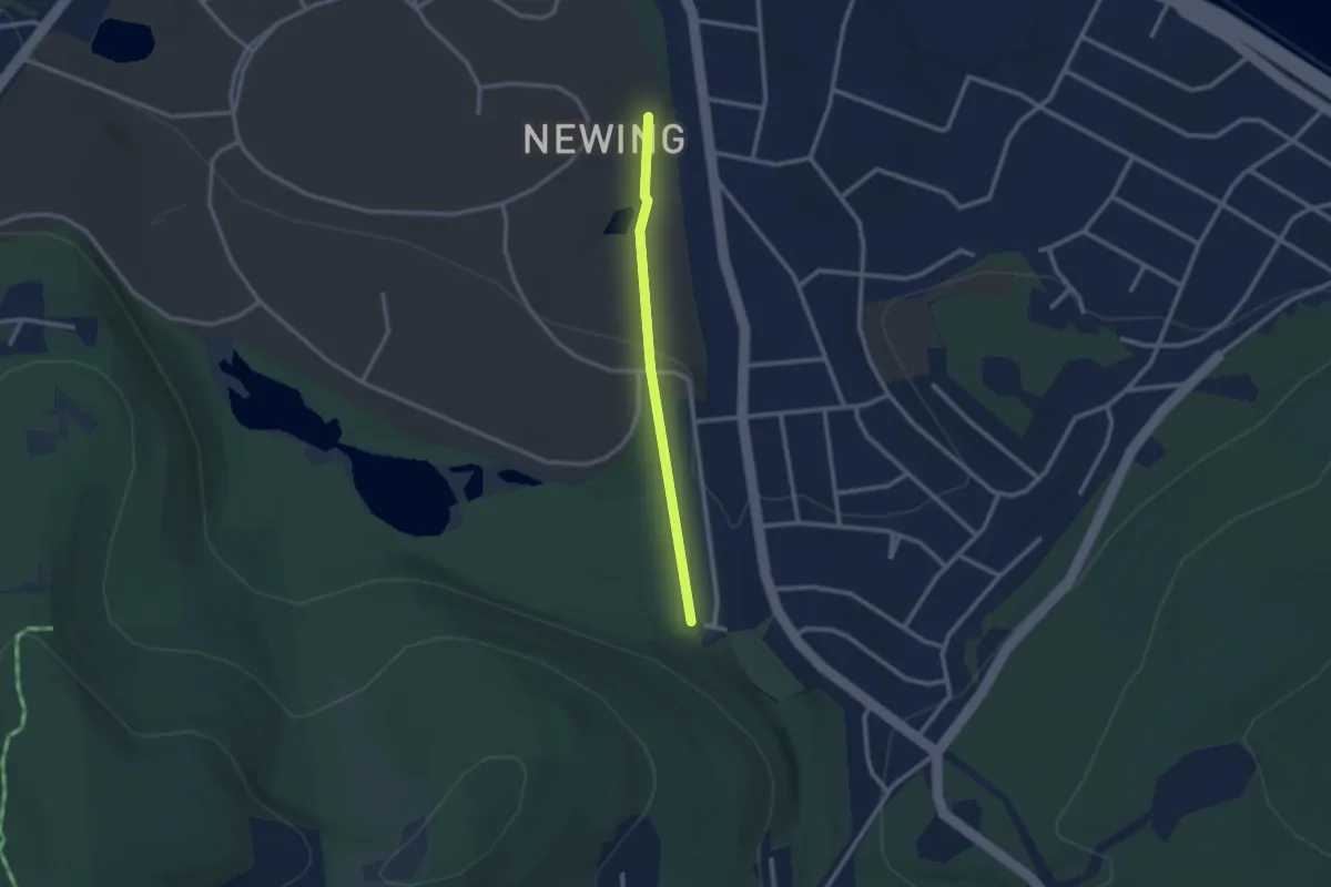
Easy · Trail
Pipeline Trail
2.4 km · ↑ 57 m · 42 min
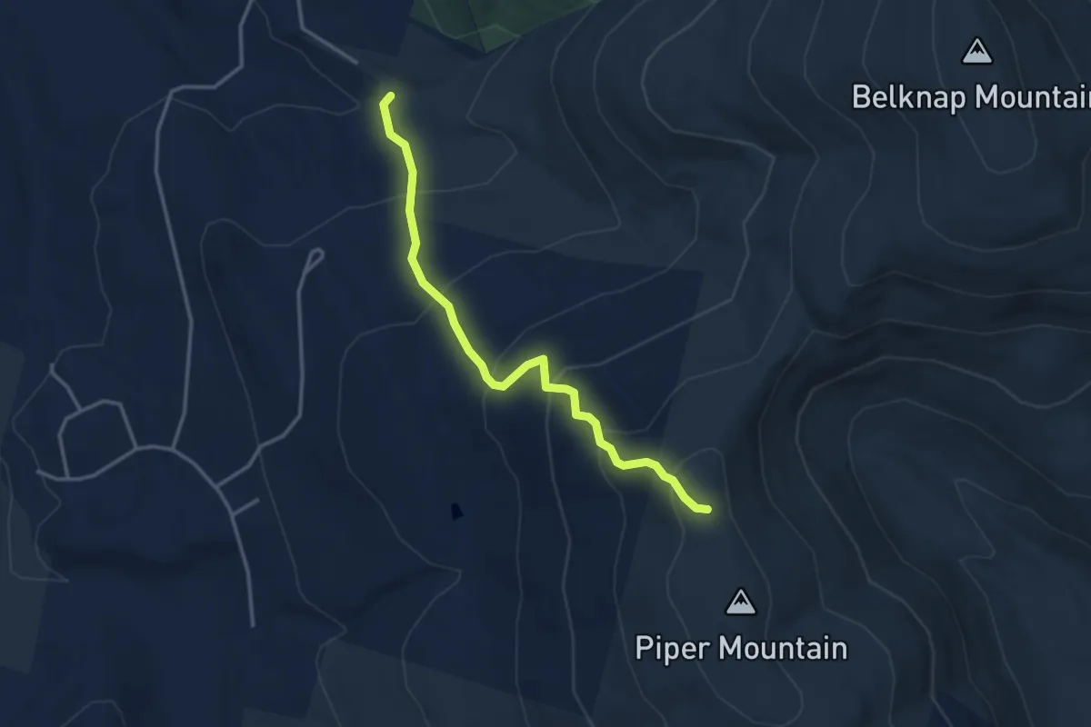
Easy · Trail
Piper Mountain Trail
3.6 km · ↑ 300 m · 1 h 30 min
Easy · Summit
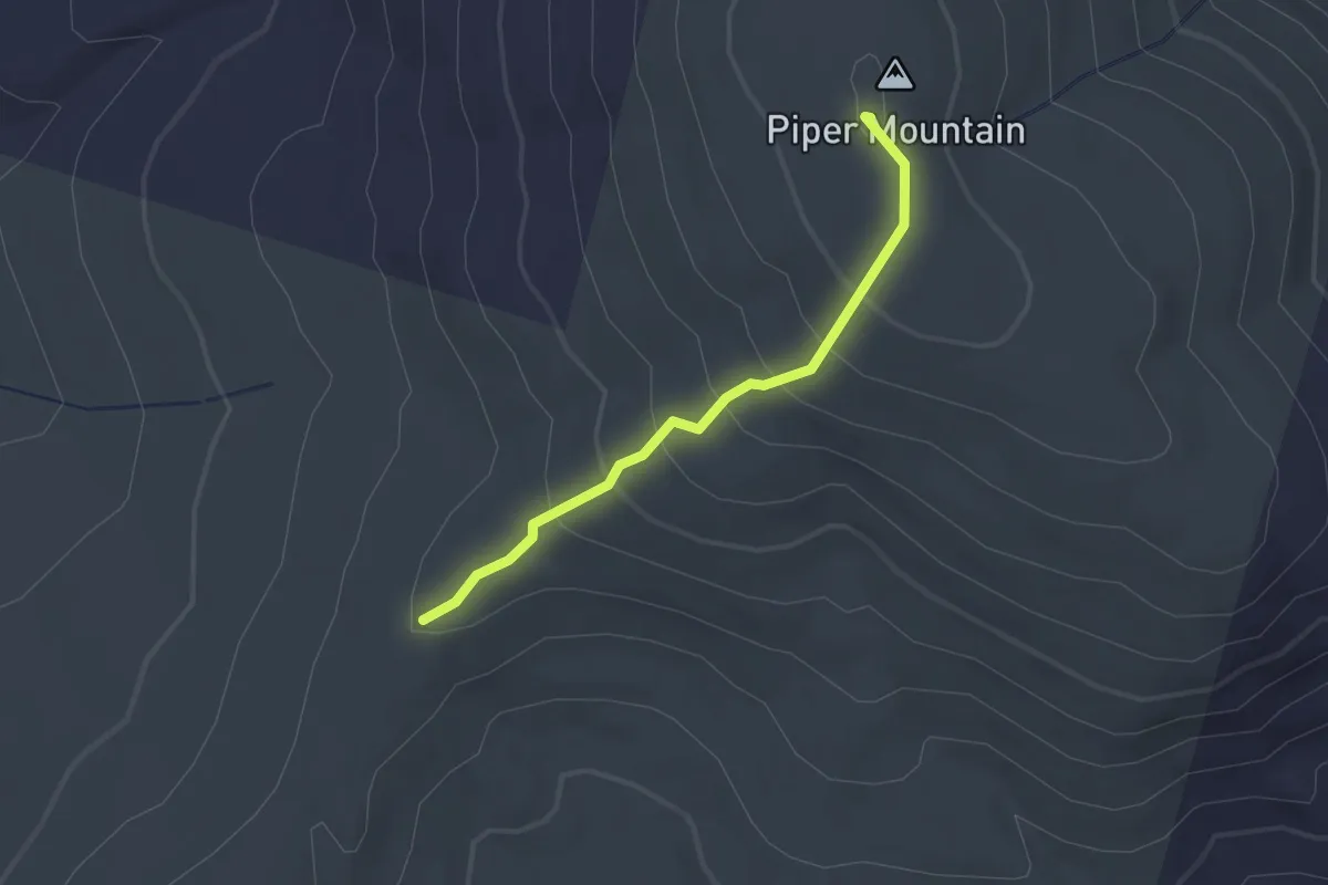
Piper-Whiteface Link
2.0 km · ↑ 156 m · 48 min
Medium · Trail
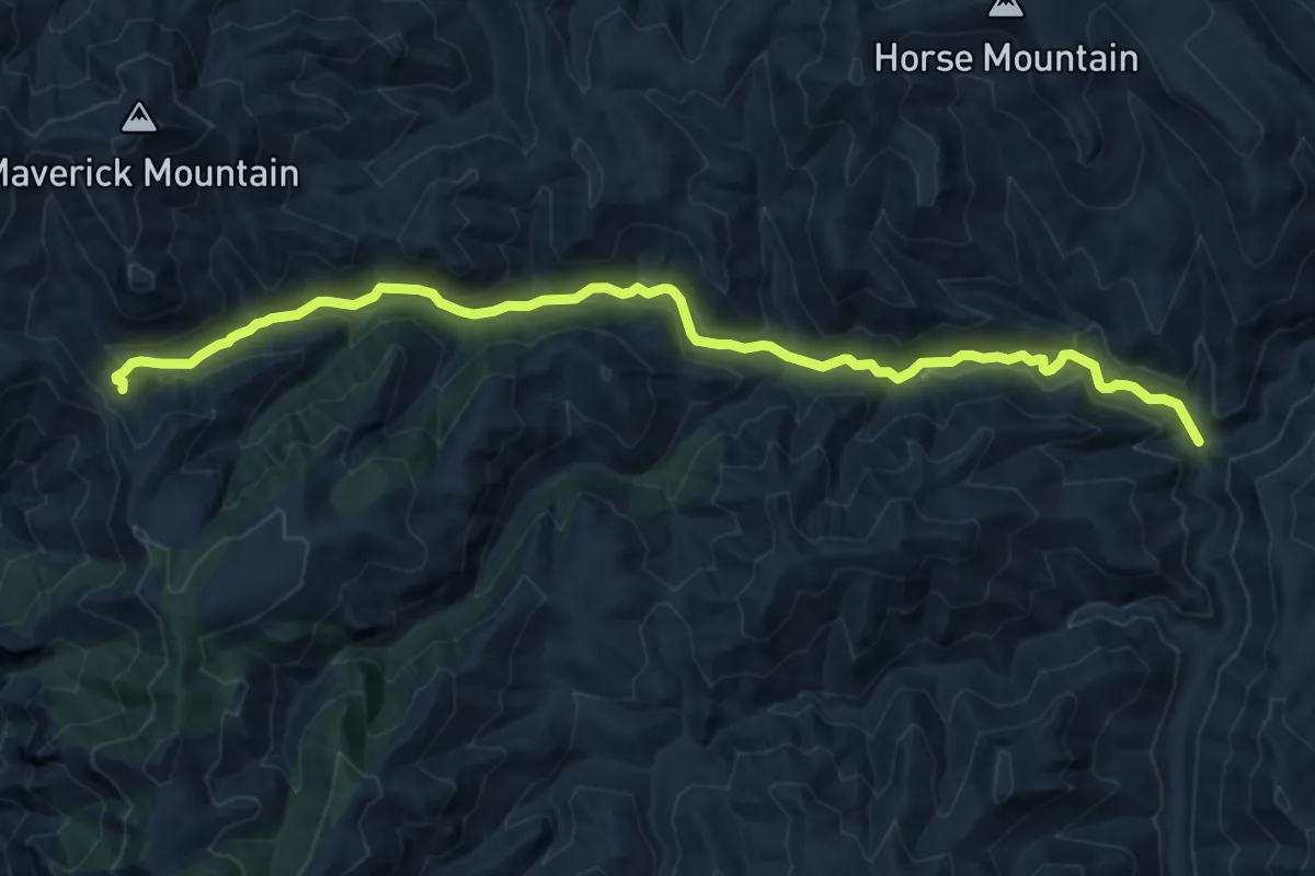
Pipestem Trail #271
13.6 km · ↑ 511 m · 4 h 20 min
Easy · Trail
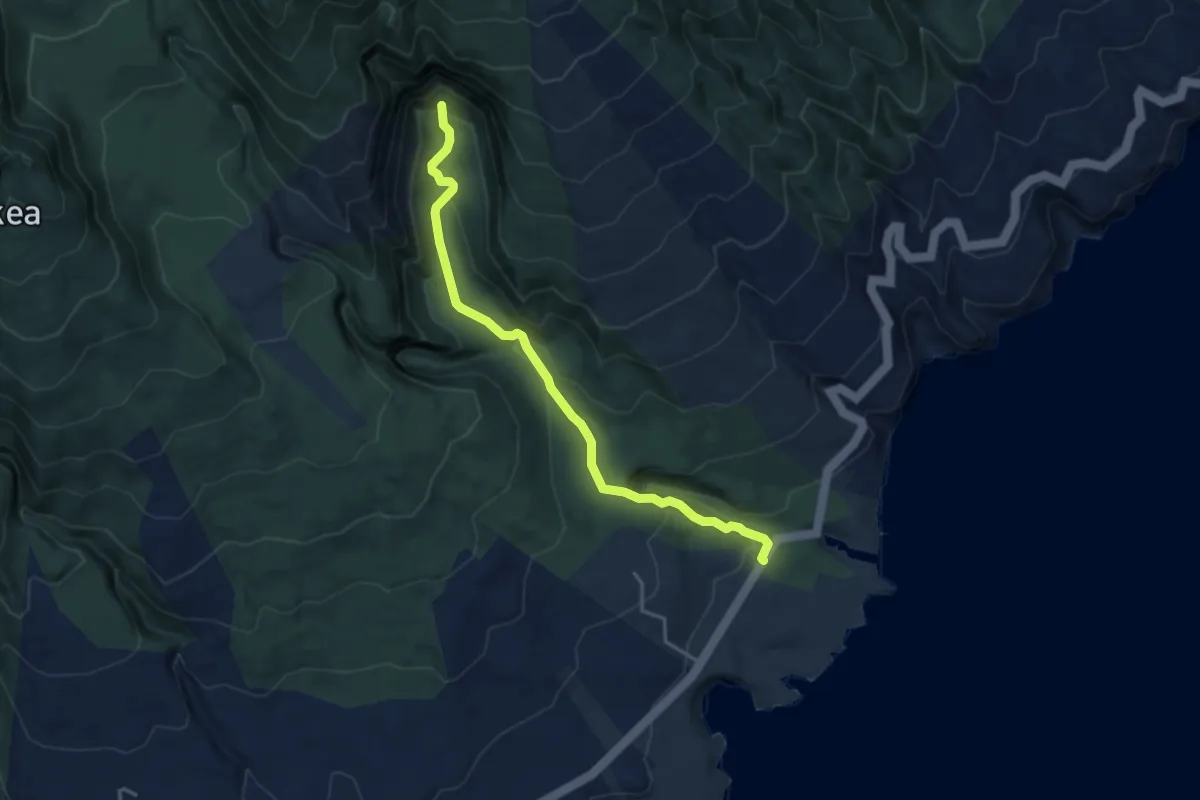
Pīpīwai Trail
5.1 km · ↑ 260 m · 1 h 46 min
Medium · Trail
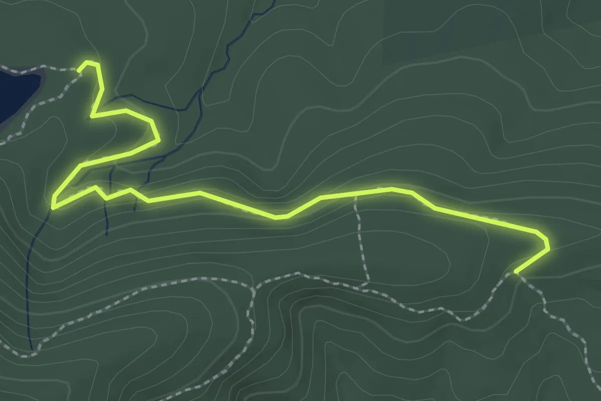
Pipsissewa Trail
3.1 km · ↑ 115 m · 59 min
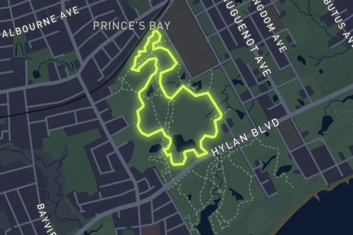
Easy · Trail
Pirate Trail
3.2 km · ↑ 13 m · 50 min
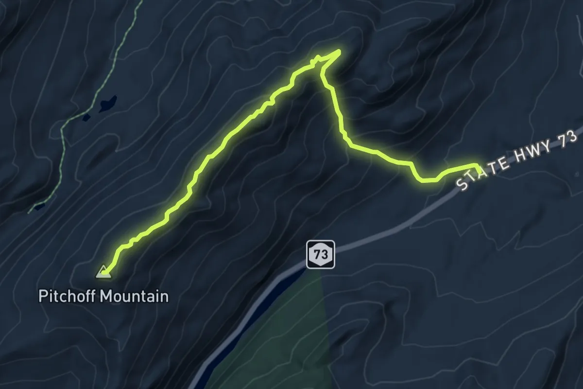
Medium · Summit
Pitchoff Mountain Trail
8.3 km · ↑ 678 m · 3 h 25 min
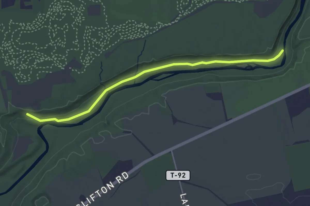
Easy · Trail
Pittsburgh-Cincinnati Stagecoach Trail
4.2 km · ↑ 32 m · 1 h 4 min
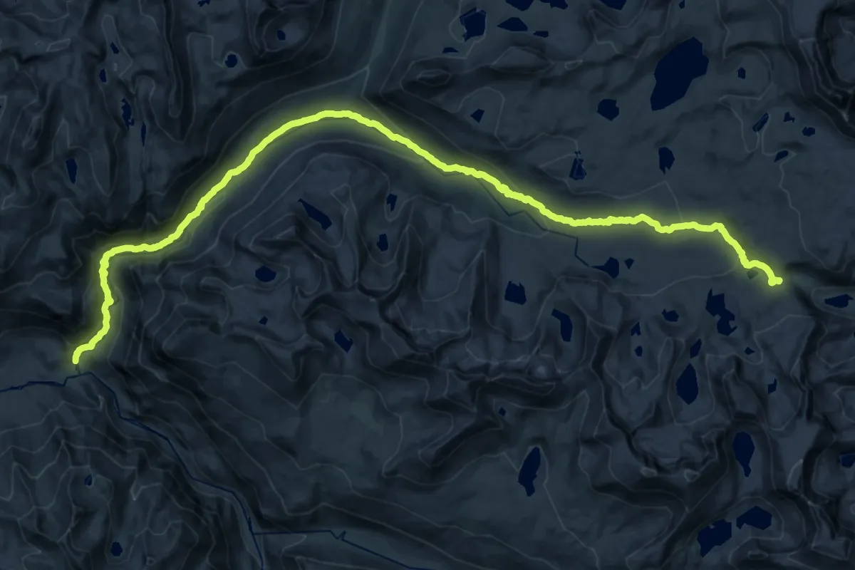
Demanding · Trail
Piute Canyon Trail
18.7 km · ↑ 116 m · 5 h 26 min
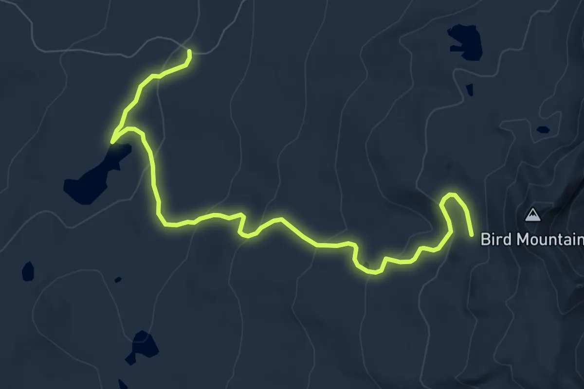
Medium · Trail
Placid Lake Trail #29
9.3 km · ↑ 321 m · 2 h 53 min
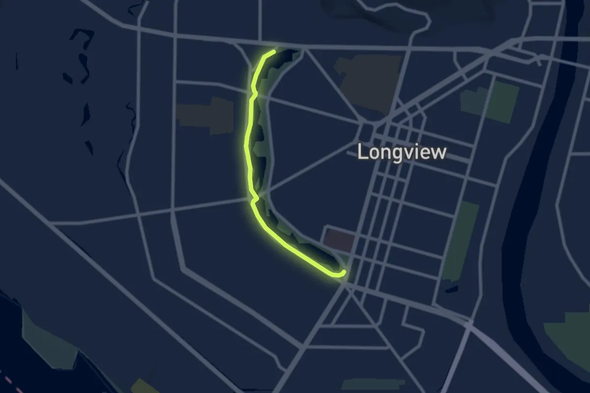
Easy · Trail
planet trail
5.4 km · ↑ 0 m · 1 h 17 min
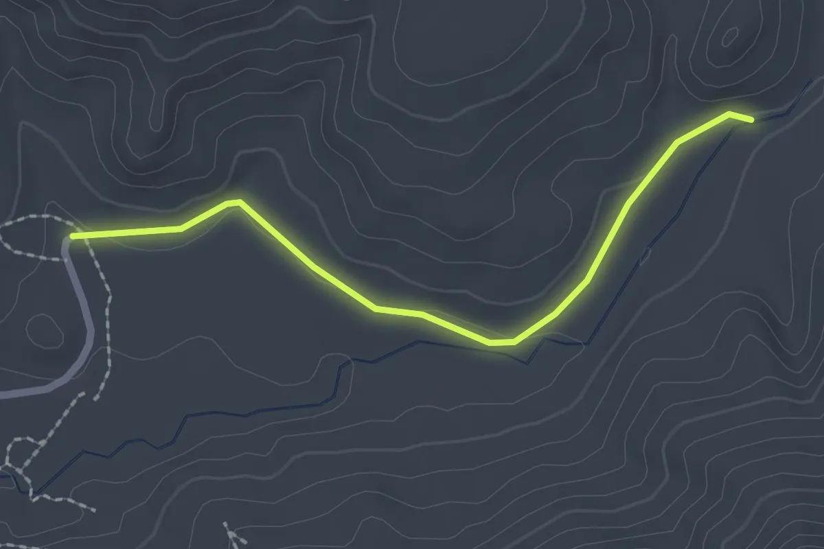
Easy · Trail
Planet Walk
2.3 km · ↑ 14 m · 34 min
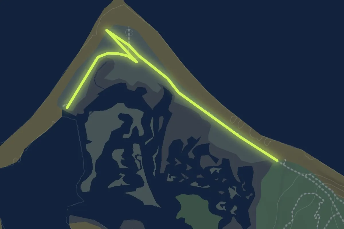
Easy · Trail
Plank Road Trail
2.9 km · ↑ 0 m · 42 min

Easy · Trail
Plantation Island Trail
4.1 km · ↑ 9 m · 1 h 2 min
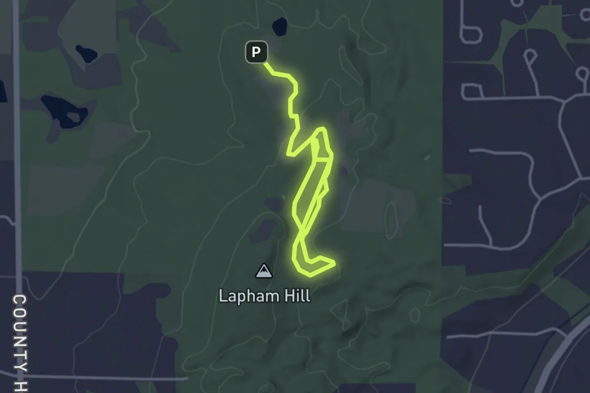
Easy · Summit
Plantation Path
2.5 km · ↑ 20 m · 39 min
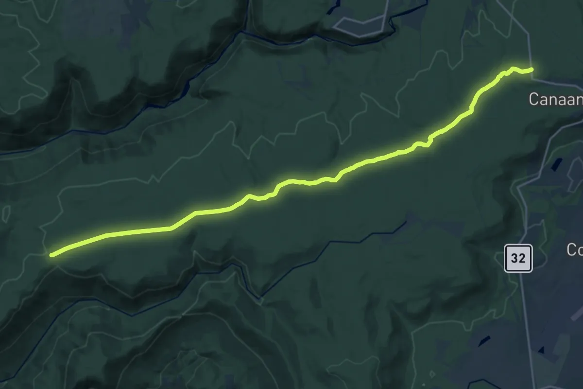
Demanding · Trail
Plantation Trail
25.3 km · ↑ 438 m · 6 h 55 min
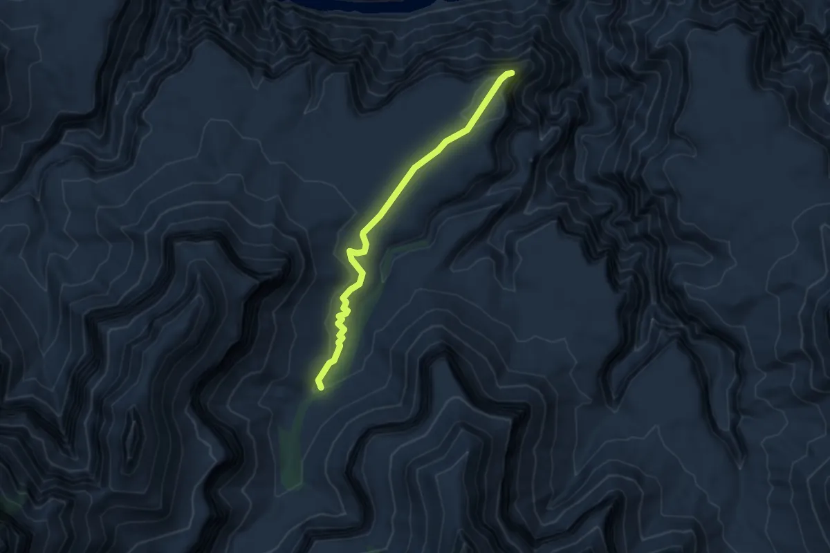
Easy · Trail
Plateau Point Trail
4.6 km · ↑ 67 m · 1 h 13 min
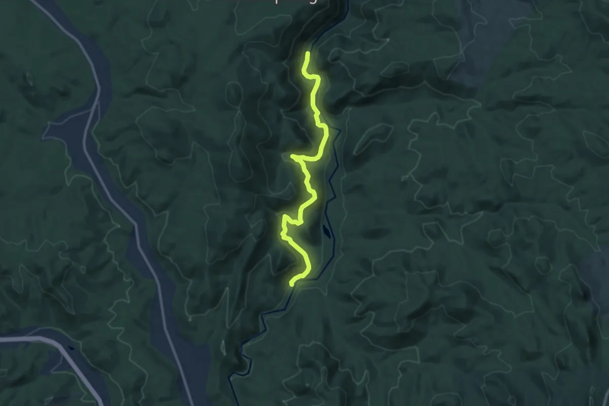
Medium · Trail
Platte River Trail
10.1 km · ↑ 279 m · 2 h 59 min
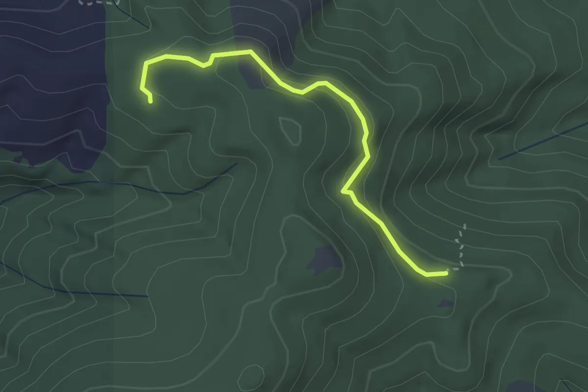
Easy · Trail
Play Time
2.7 km · ↑ 124 m · 55 min
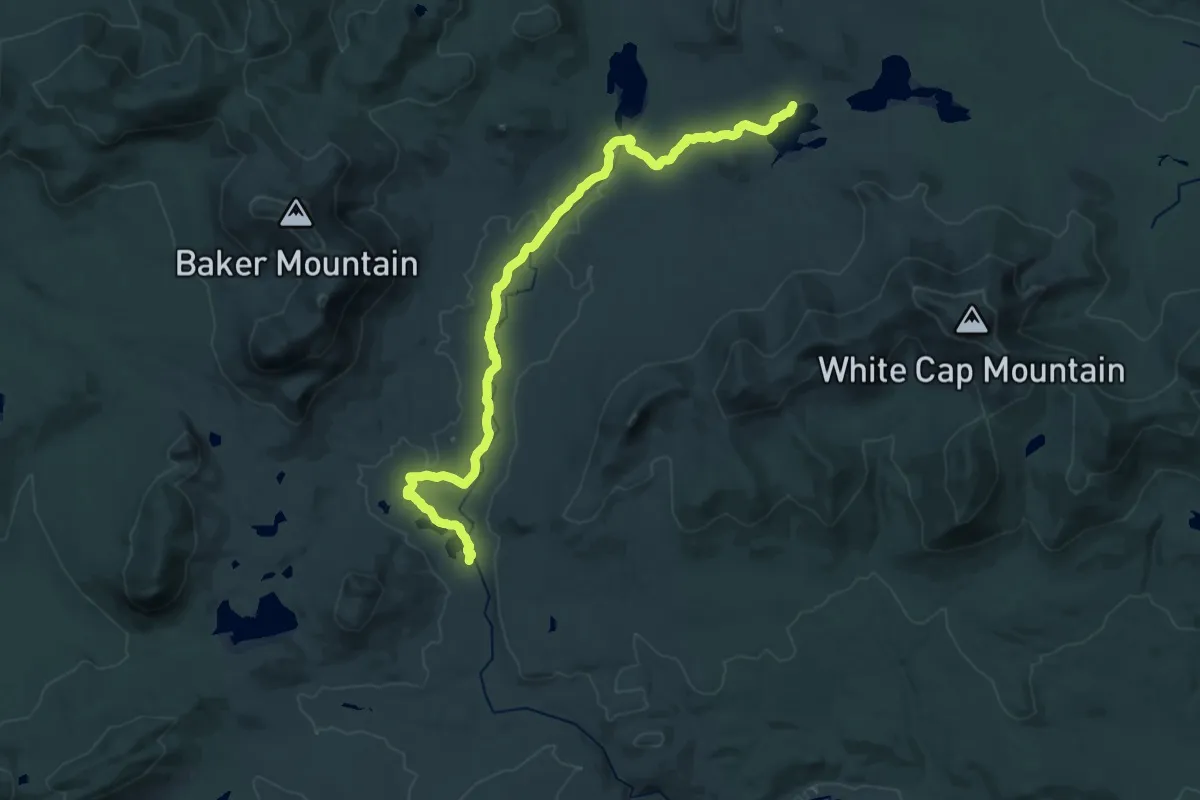
Demanding · Trail
Pleasant River Trail
28.5 km · ↑ 173 m · 7 h 7 min
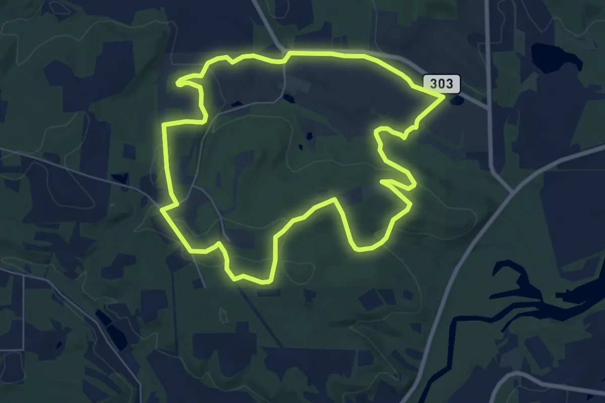
Easy · Trail
Pleasant Valley Bridle & Hiking Trail
7.8 km · ↑ 160 m · 2 h 18 min
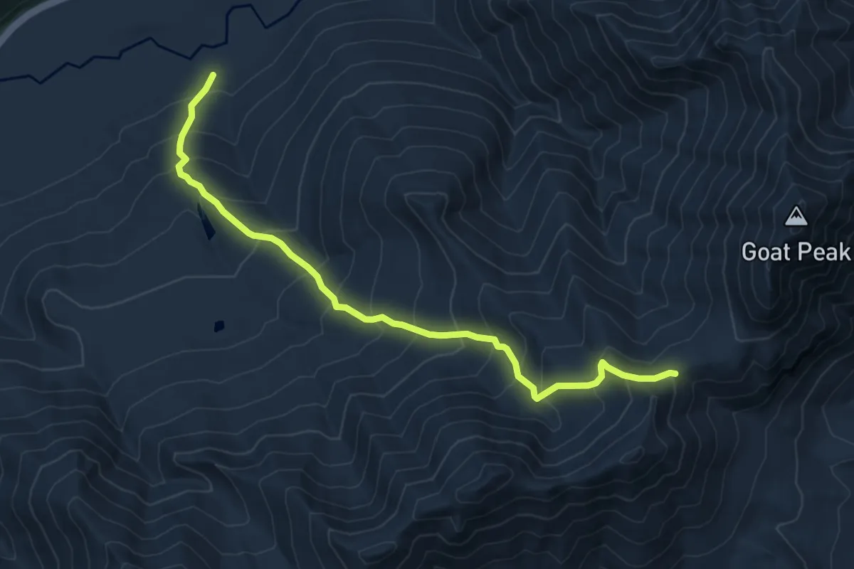
Medium · Trail
Pleasant Valley Lake
7.5 km · ↑ 726 m · 3 h 20 min
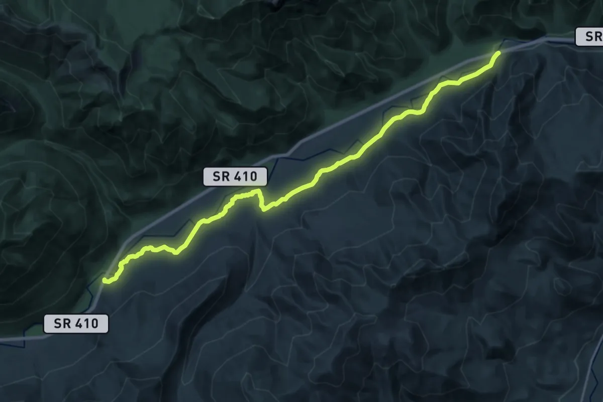
Demanding · Trail
Pleasant Valley Loop
20.3 km · ↑ 342 m · 5 h 32 min
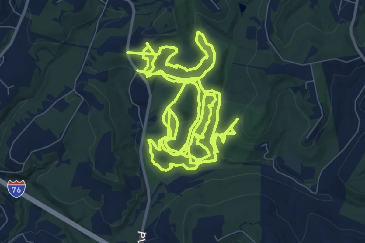
Demanding · Trail
Pleasant Valley Park Murrysville Hiking
23.0 km · ↑ 589 m · 6 h 43 min
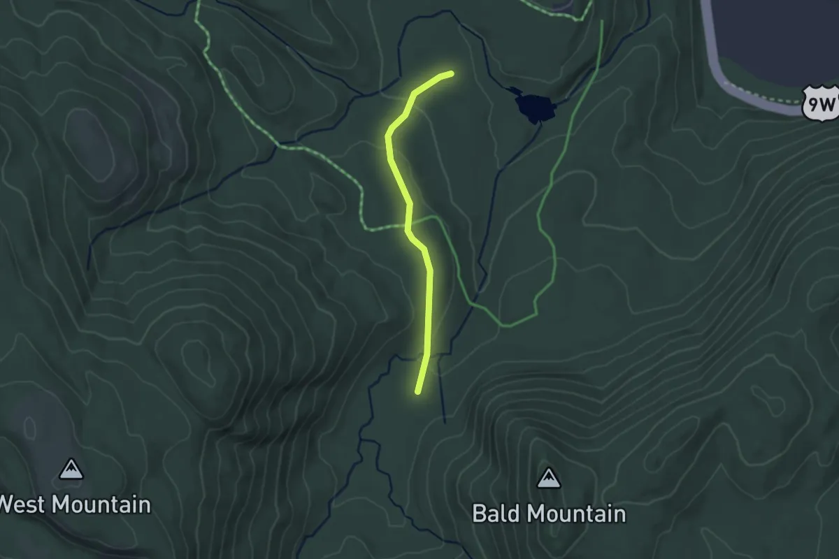
Easy · Trail
Pleasant Valley Road
2.4 km · ↑ 61 m · 42 min
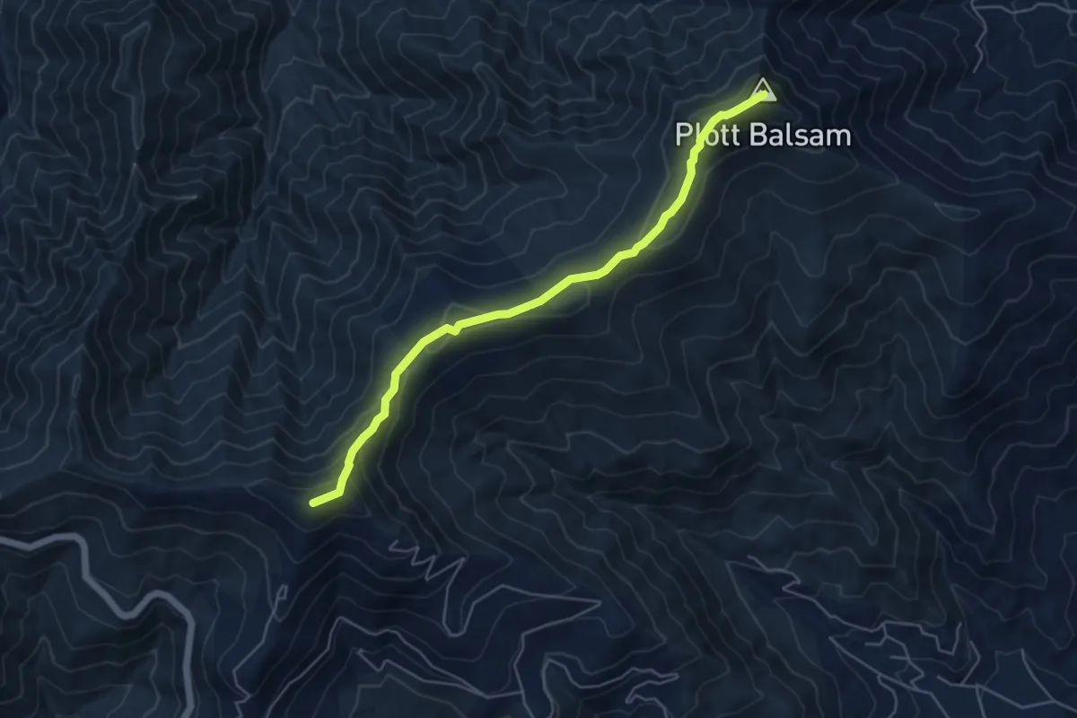
Easy · Summit
Plott Balsam Trail
6.0 km · ↑ 292 m · 2 h 2 min
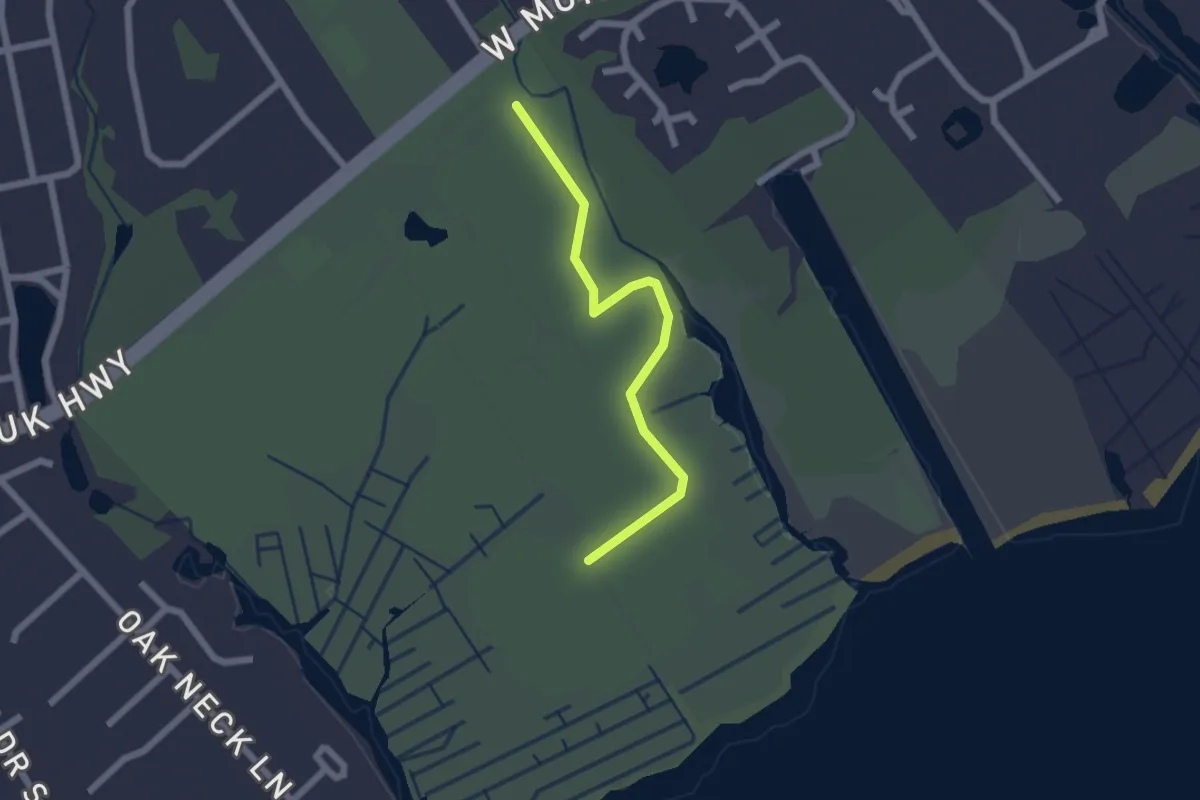
Easy · Trail
Plover Trail
2.1 km · ↑ 0 m · 30 min
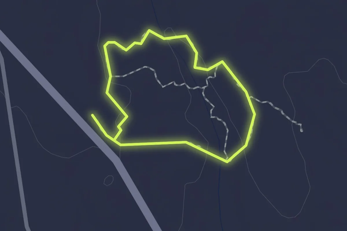
Easy · Trail
Pluck Farm Loop Trail
1.3 km · ↑ 13 m · 21 min
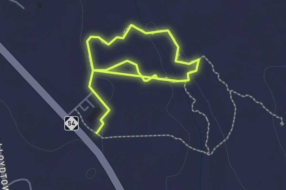
Easy · Trail
Pluck Farm Osage-Juniper Loop
1.2 km · ↑ 4 m · 19 min
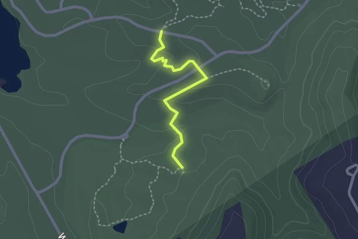
Easy · Trail
Plum Valley Trail
1.9 km · ↑ 50 m · 34 min
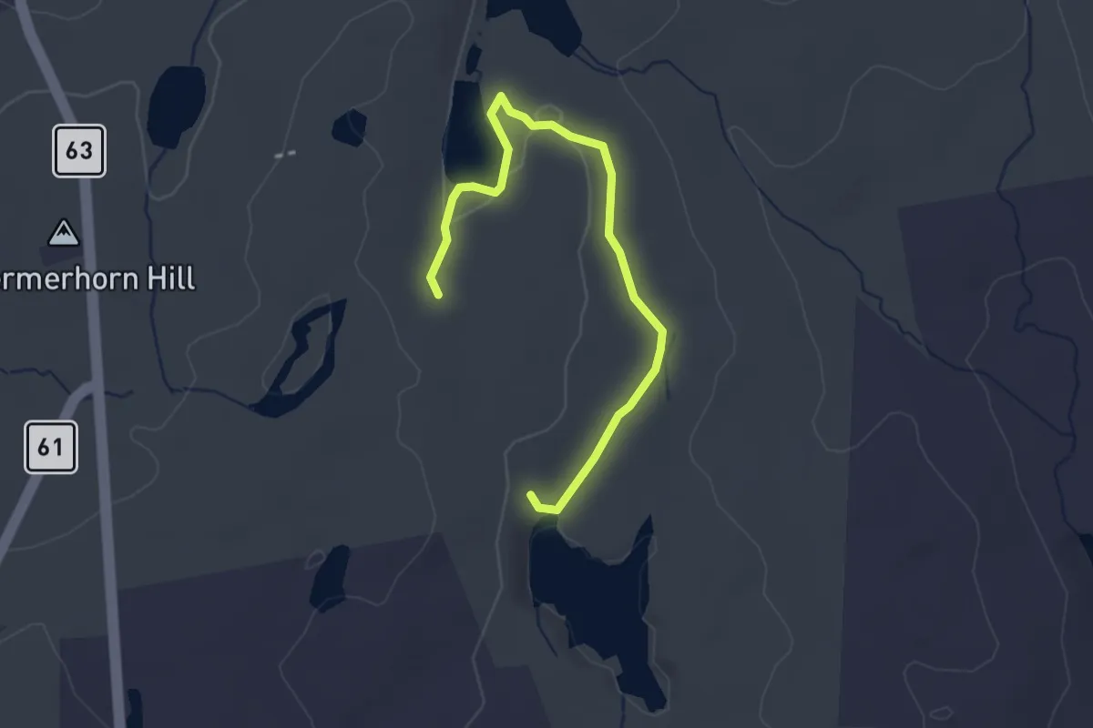
Easy · Trail
Plunge Pool Trail
3.3 km · ↑ 55 m · 53 min
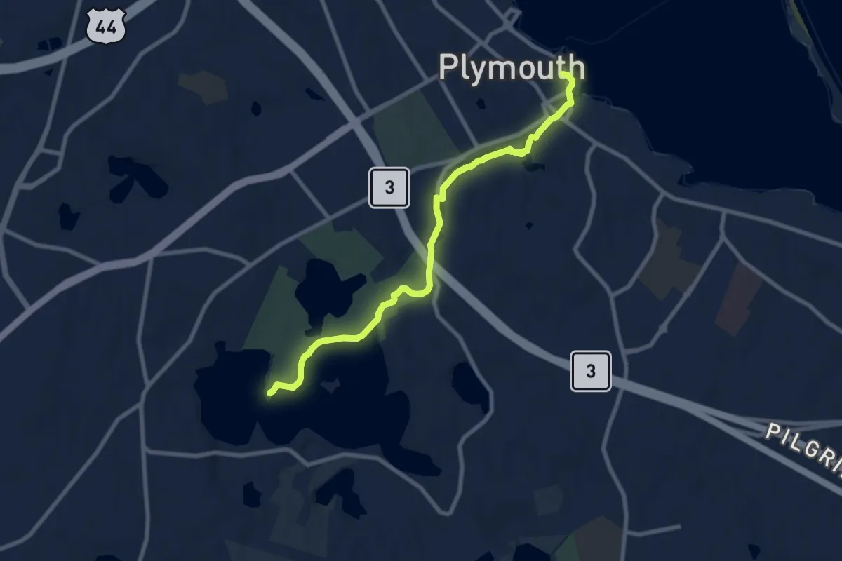
Medium · Summit
Plymouth Sea to Shining Sea Trail
8.7 km · ↑ 31 m · 2 h 7 min
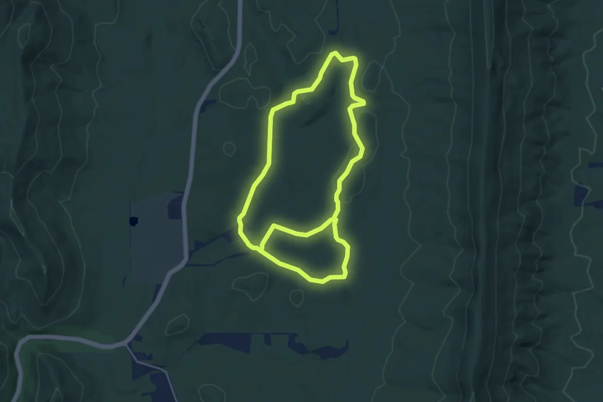
Medium · Trail
Pocket Trail
9.4 km · ↑ 151 m · 2 h 33 min
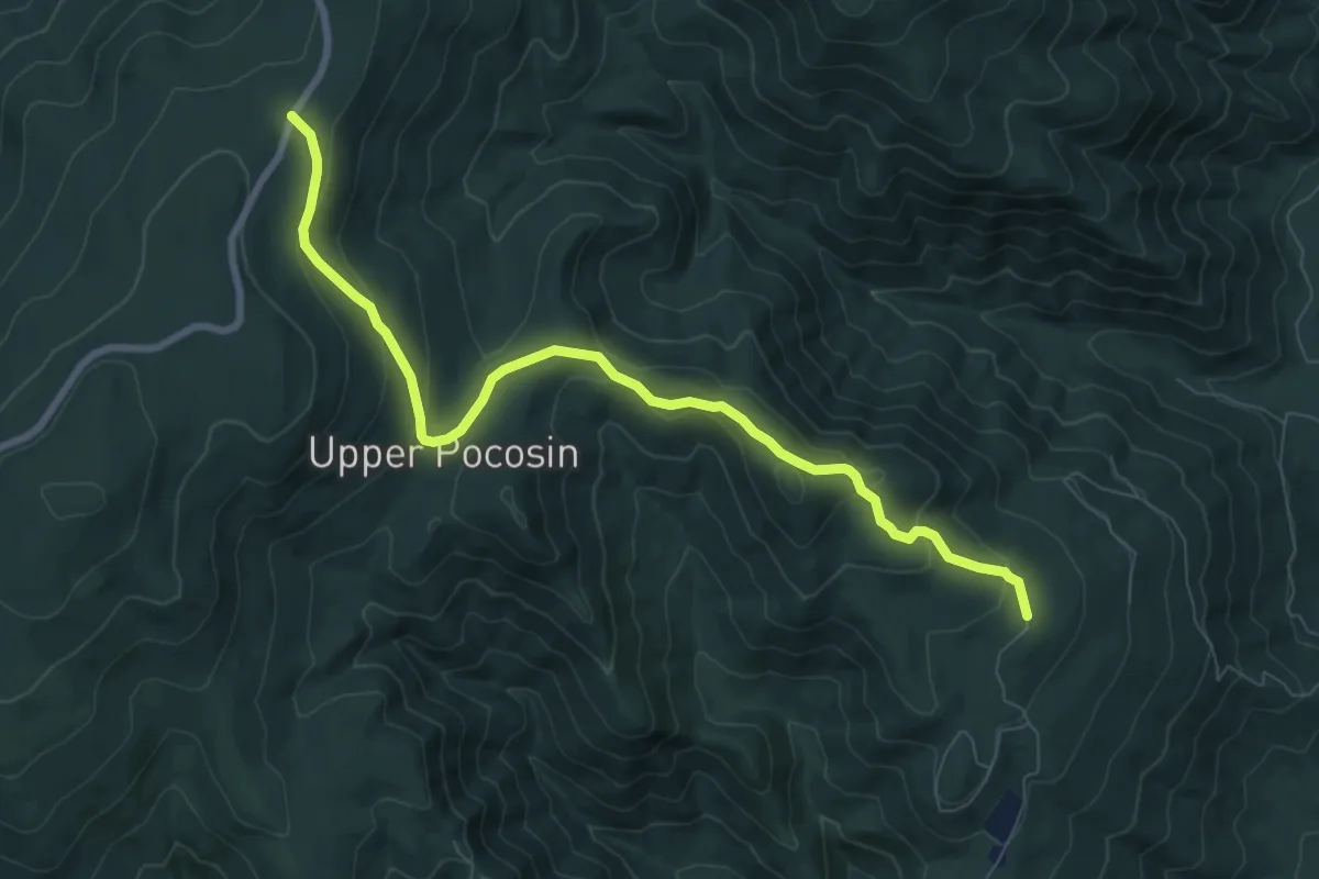
Medium · Trail
Pocosin Fire Road
9.8 km · ↑ 371 m · 3 h 7 min
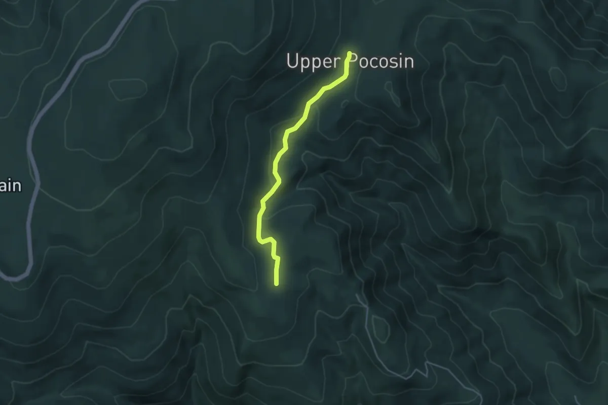
Easy · Trail
Pocosin Trail
4.1 km · ↑ 132 m · 1 h 16 min
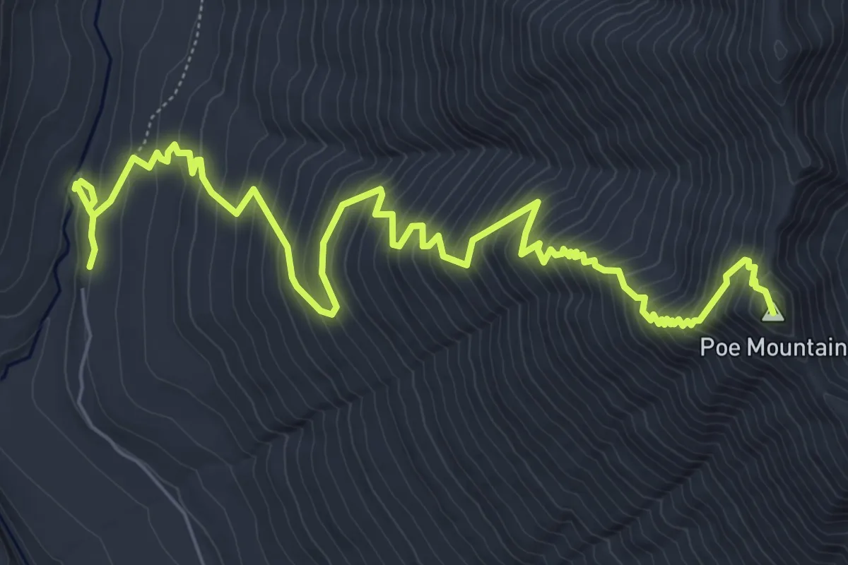
Demanding · Summit
Poe Mountain Trail
8.8 km · ↑ 959 m · 4 h 9 min
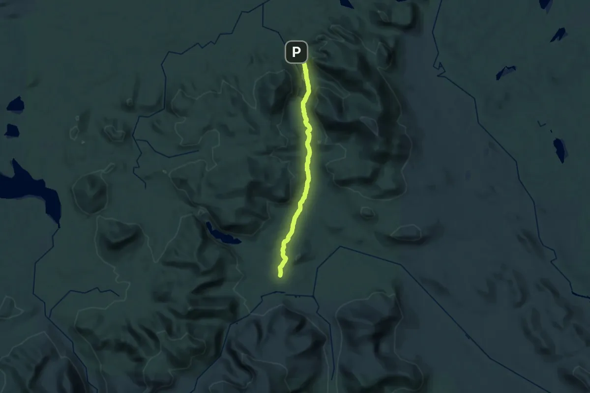
Demanding · Trail
Pogy Notch Trail
27.8 km · ↑ 372 m · 7 h 23 min
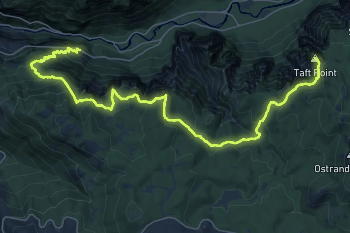
Demanding · Summit
Pohono Trail
29.2 km · ↑ 1803 m · 10 h 48 min
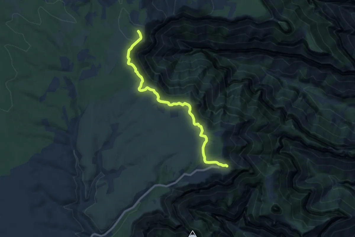
Medium · Trail
Point Imperial Trail
8.2 km · ↑ 127 m · 2 h 13 min
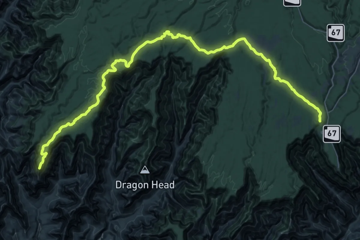
Demanding · Trail
Point Sublime Trail
27.4 km · ↑ 451 m · 7 h 56 min
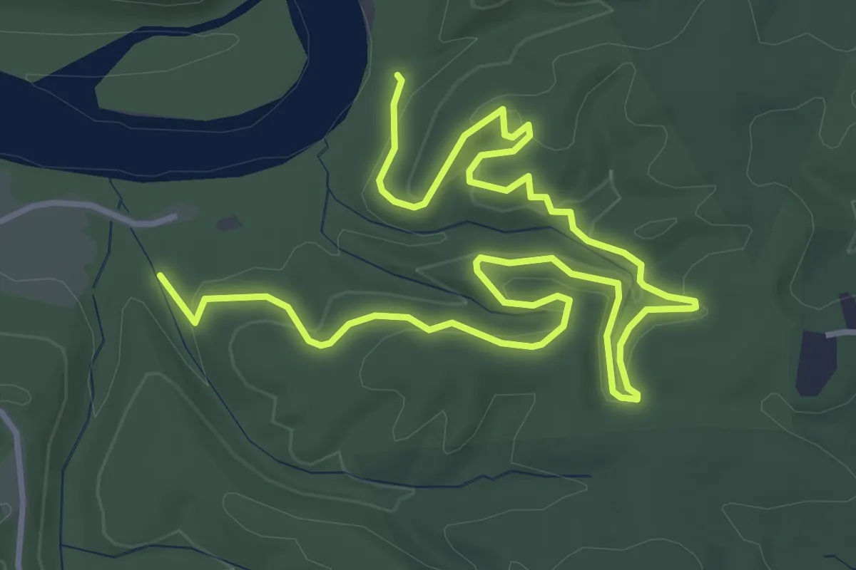
Easy · Trail
Point Trail
6.8 km · ↑ 202 m · 2 h 3 min
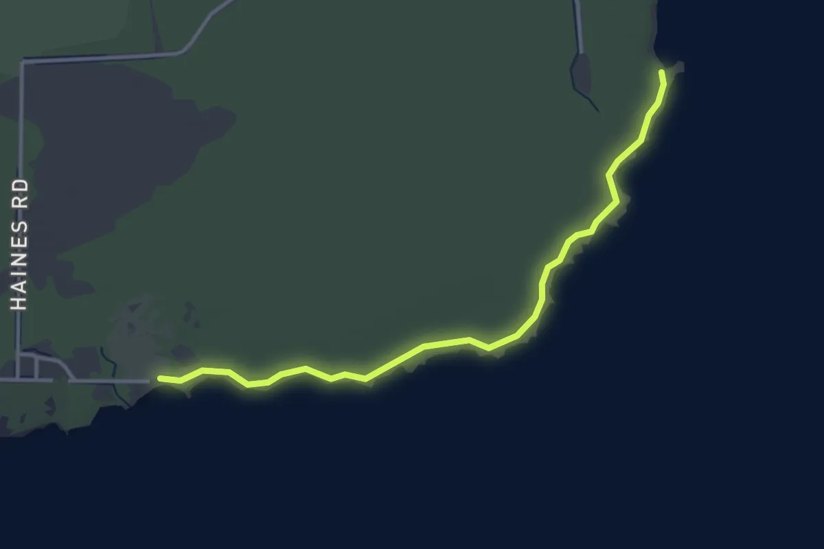
Easy · Trail
Point Trail
3.6 km · ↑ 4 m · 51 min
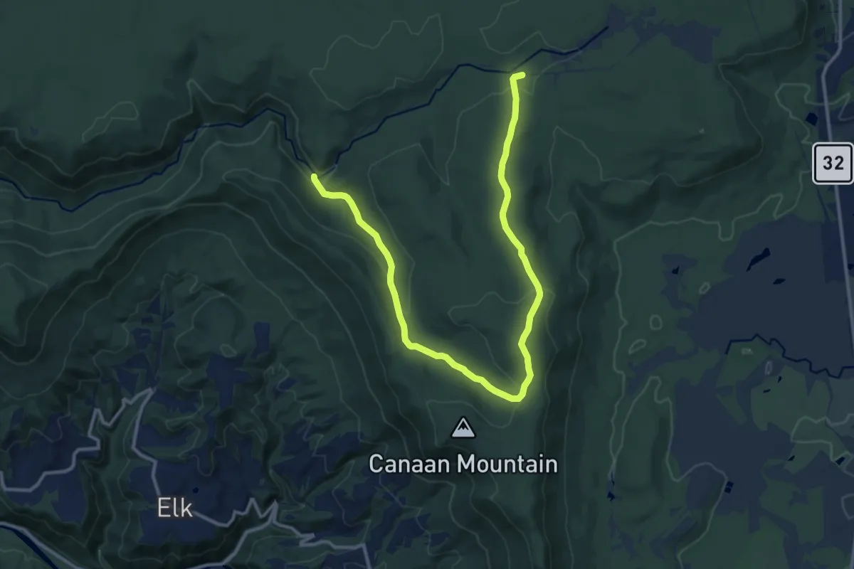
Medium · Trail
Pointy Knob Trail
16.3 km · ↑ 447 m · 4 h 48 min
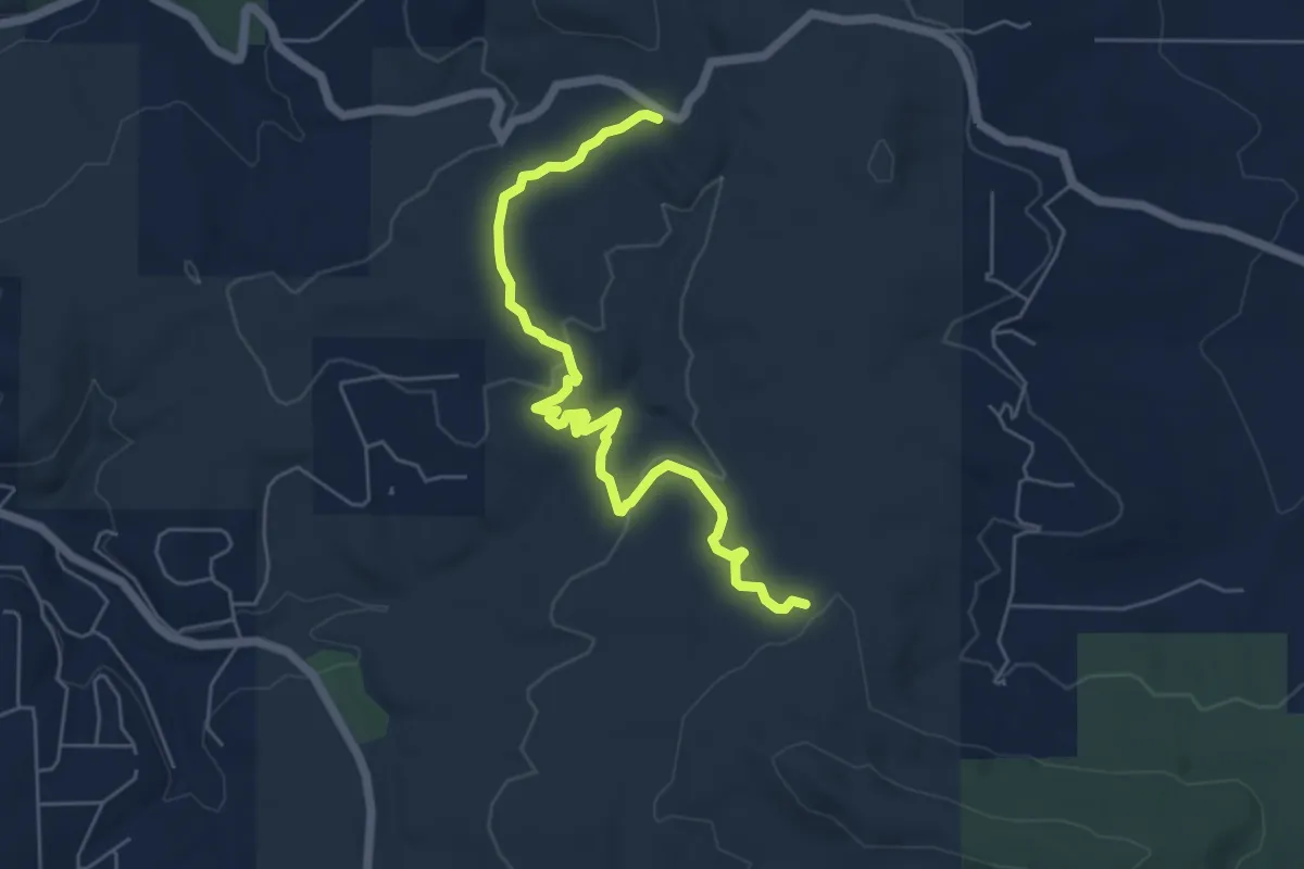
Medium · Trail
Pokerchip Trail
7.2 km · ↑ 137 m · 2 h
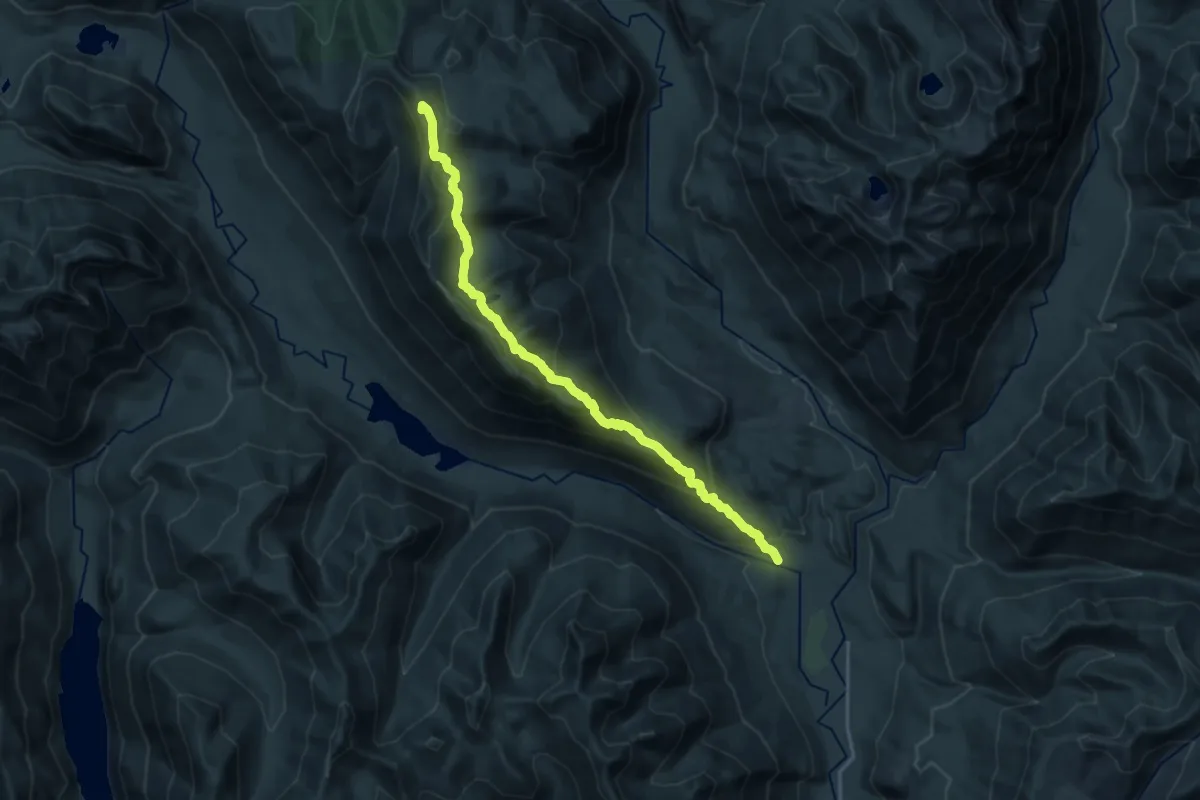
Demanding · Summit
Polallie Ridge Trail
19.1 km · ↑ 1497 m · 7 h 45 min